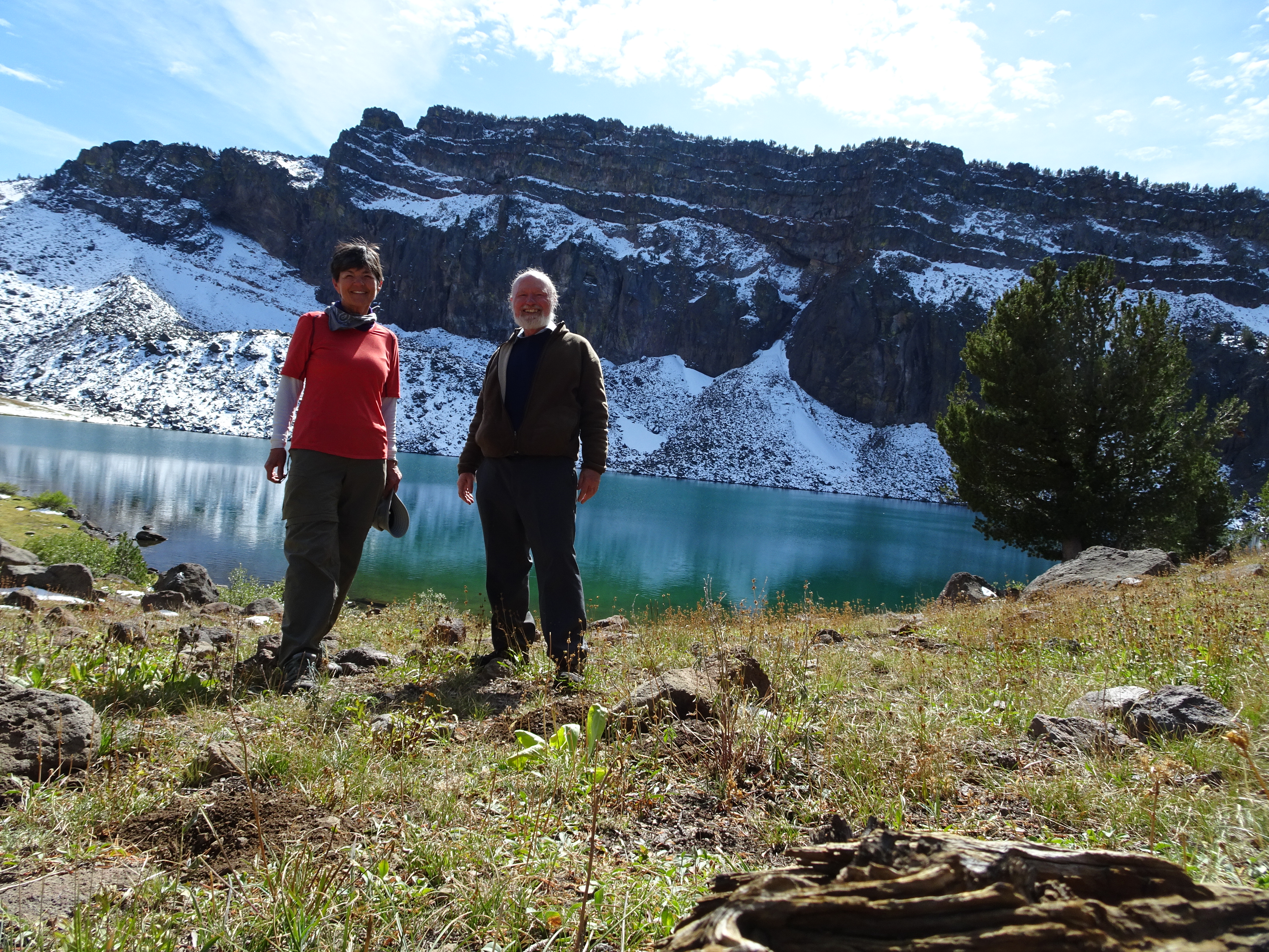
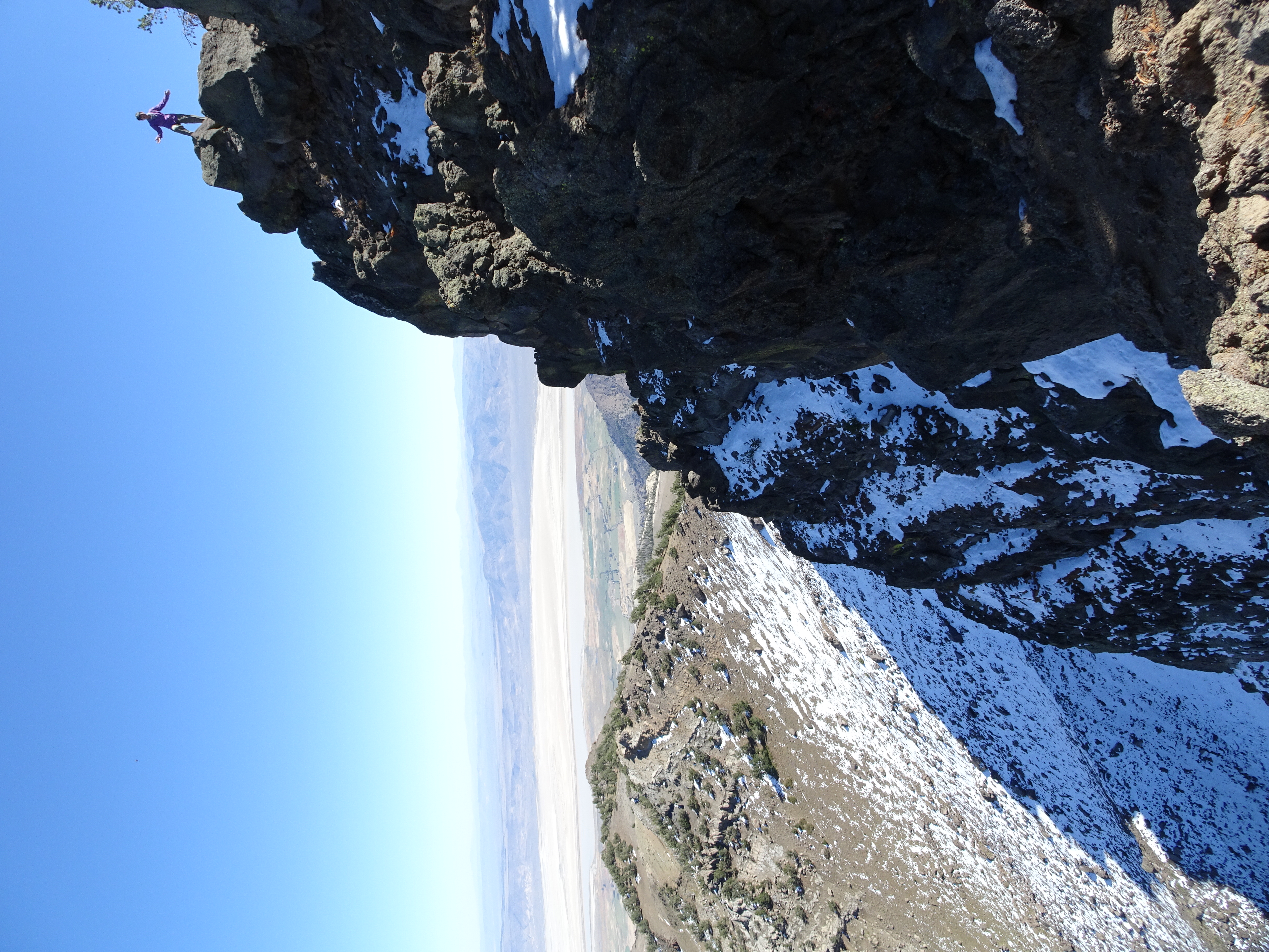
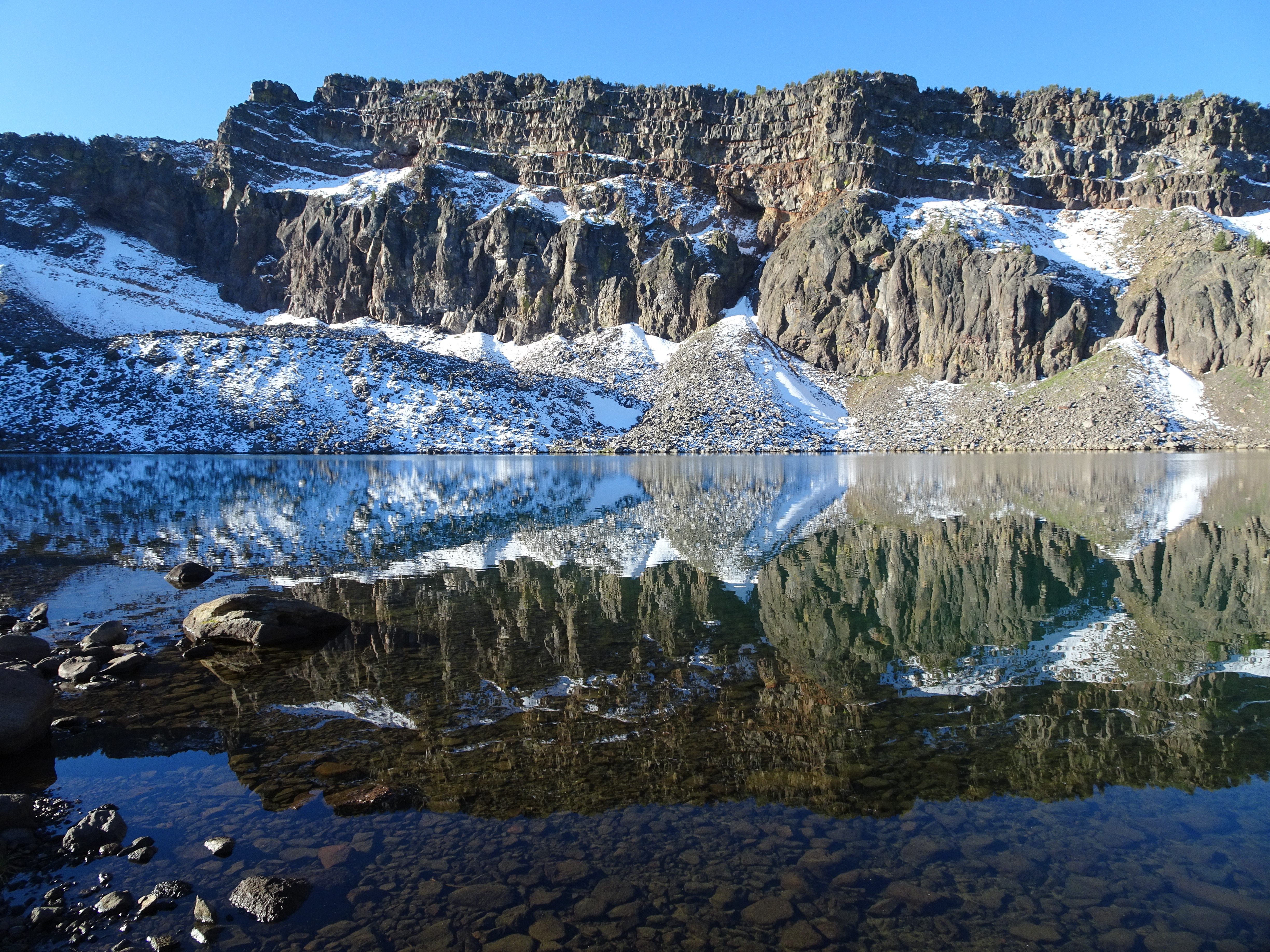
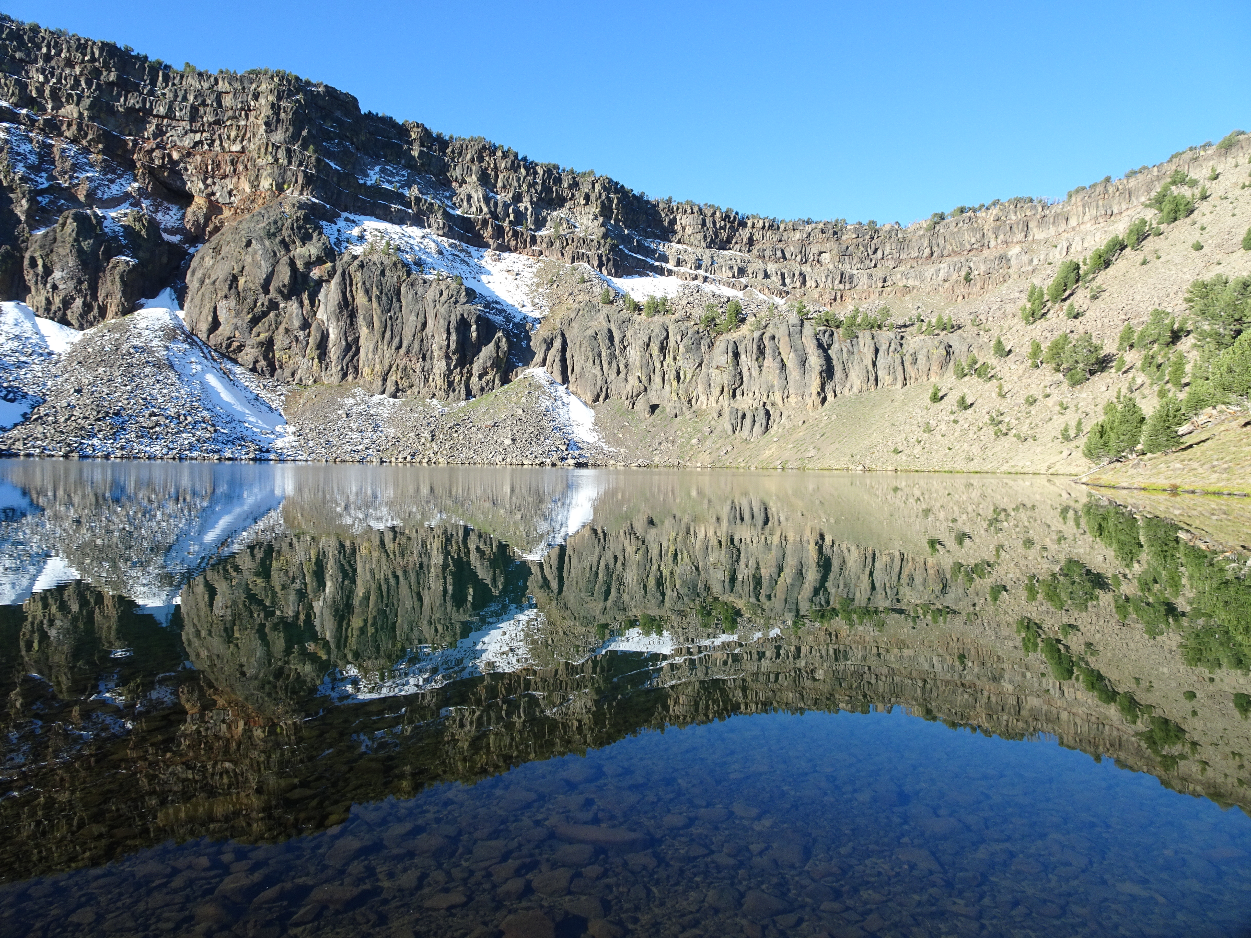
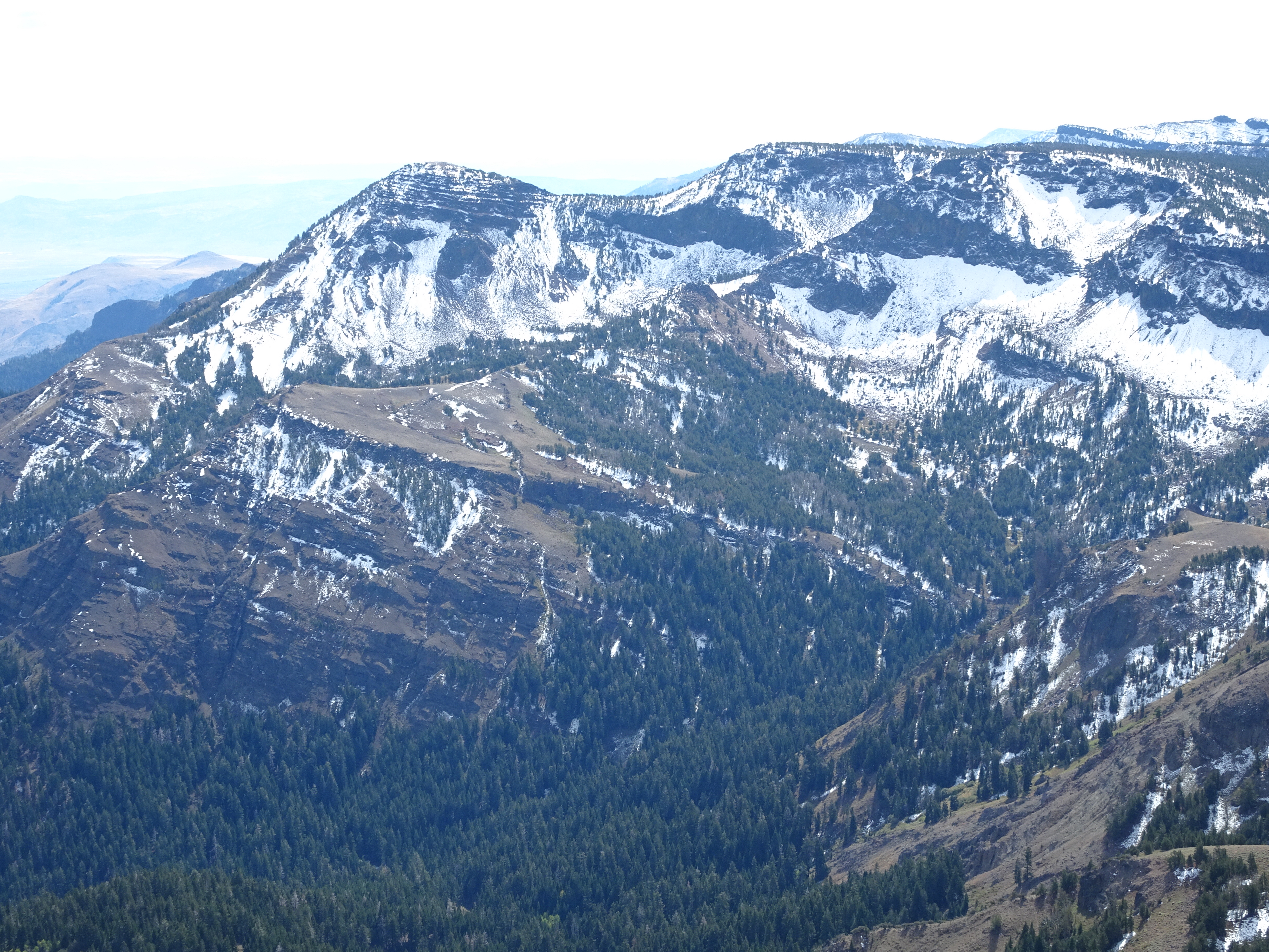
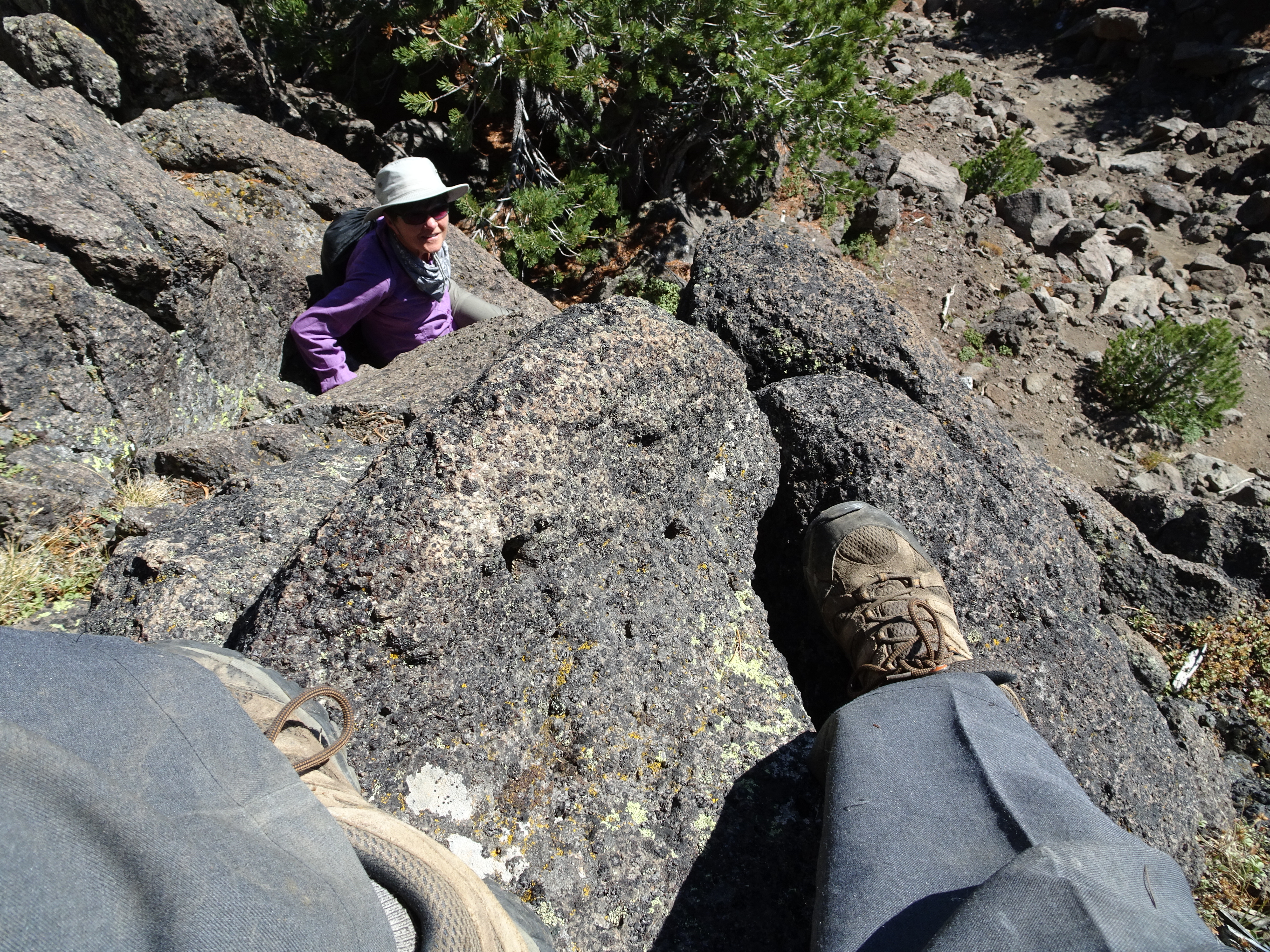
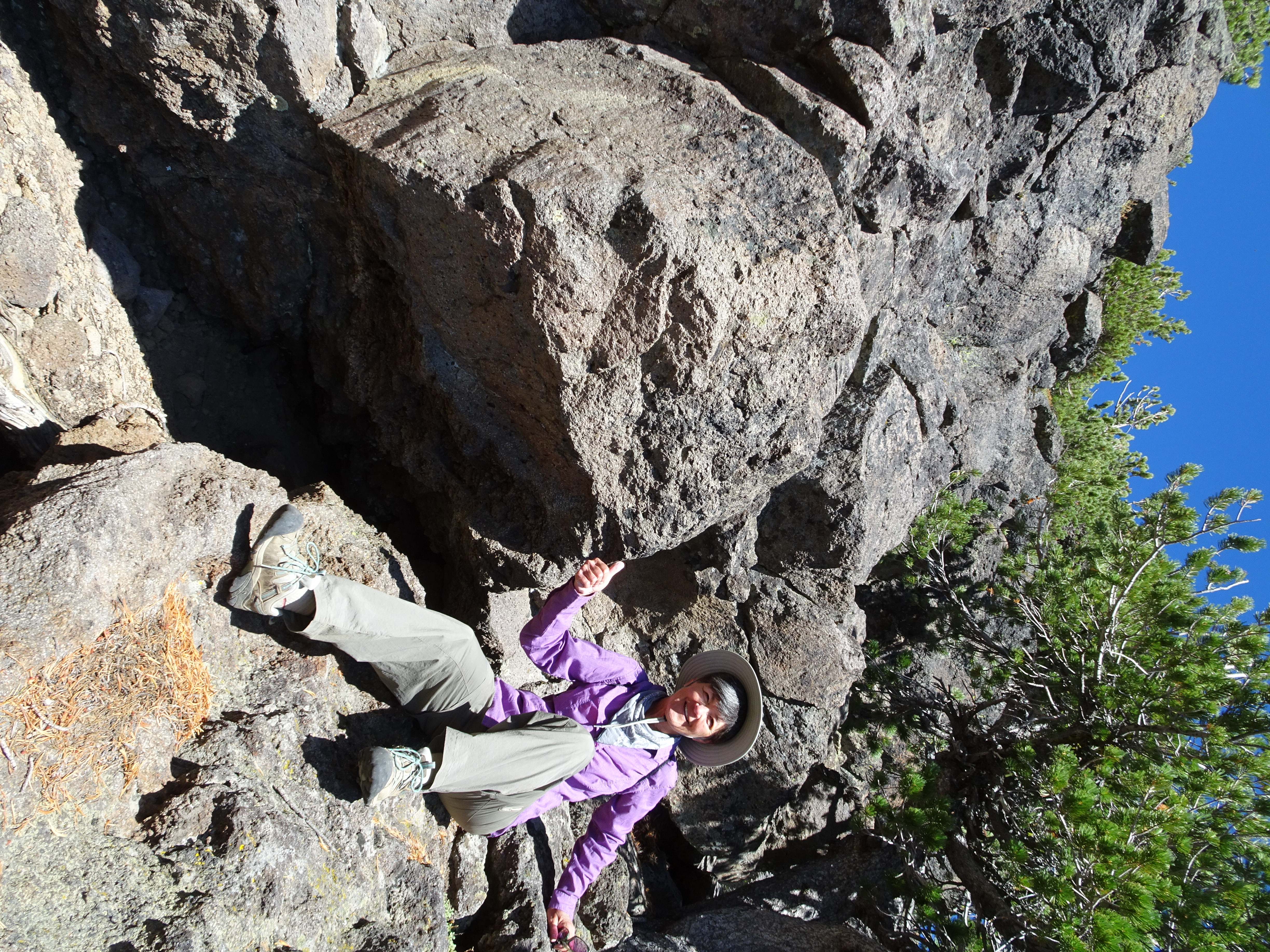
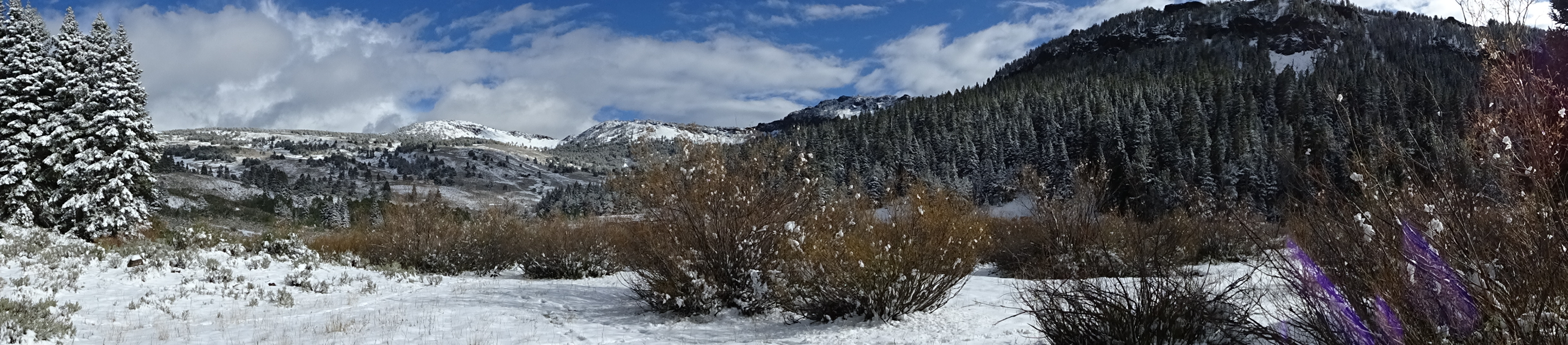
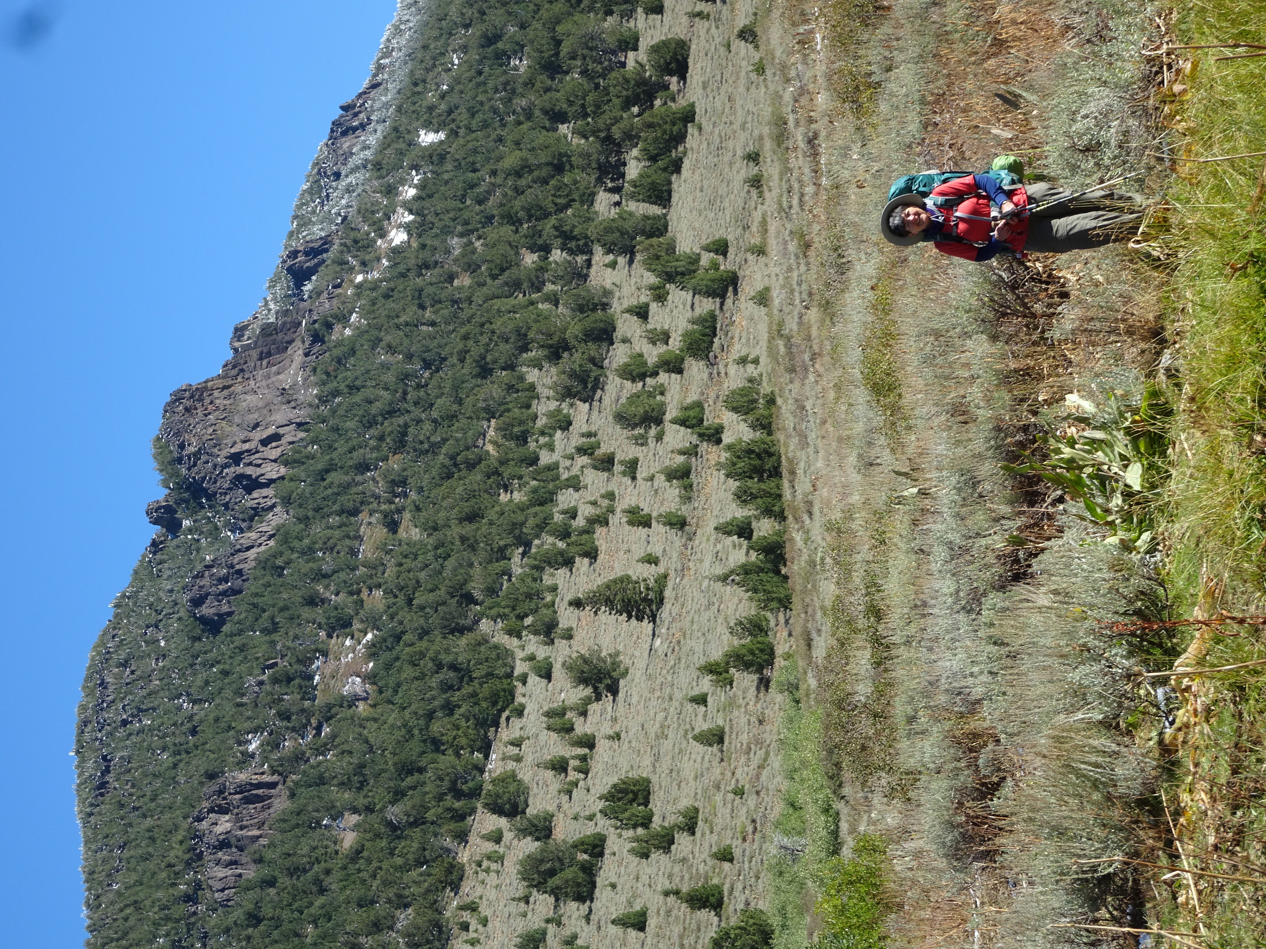
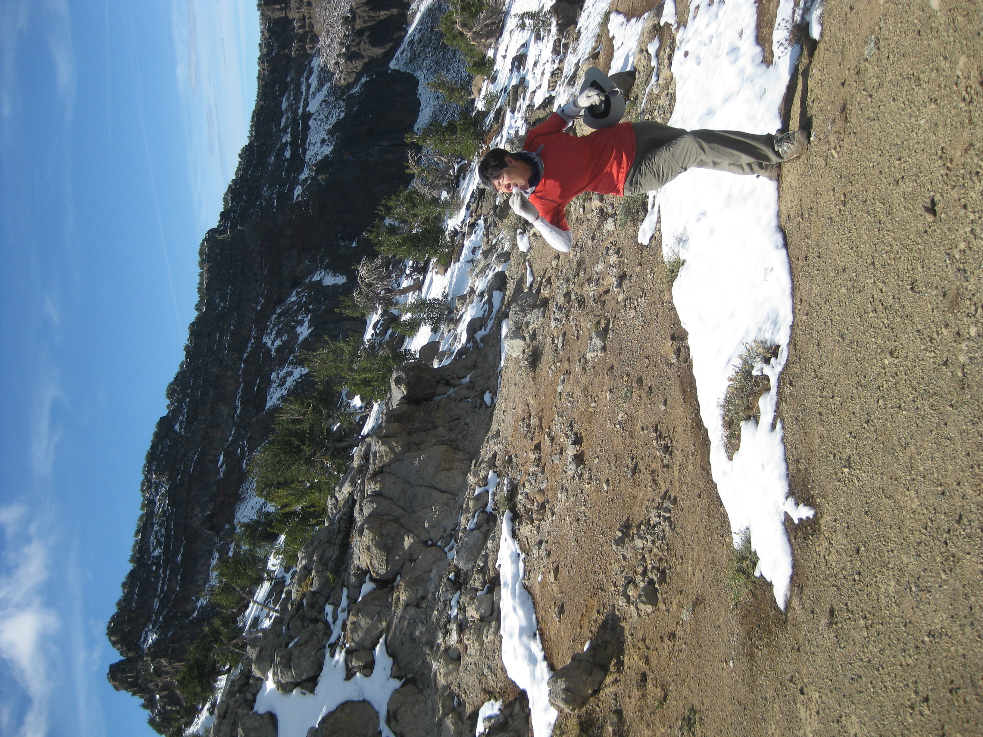
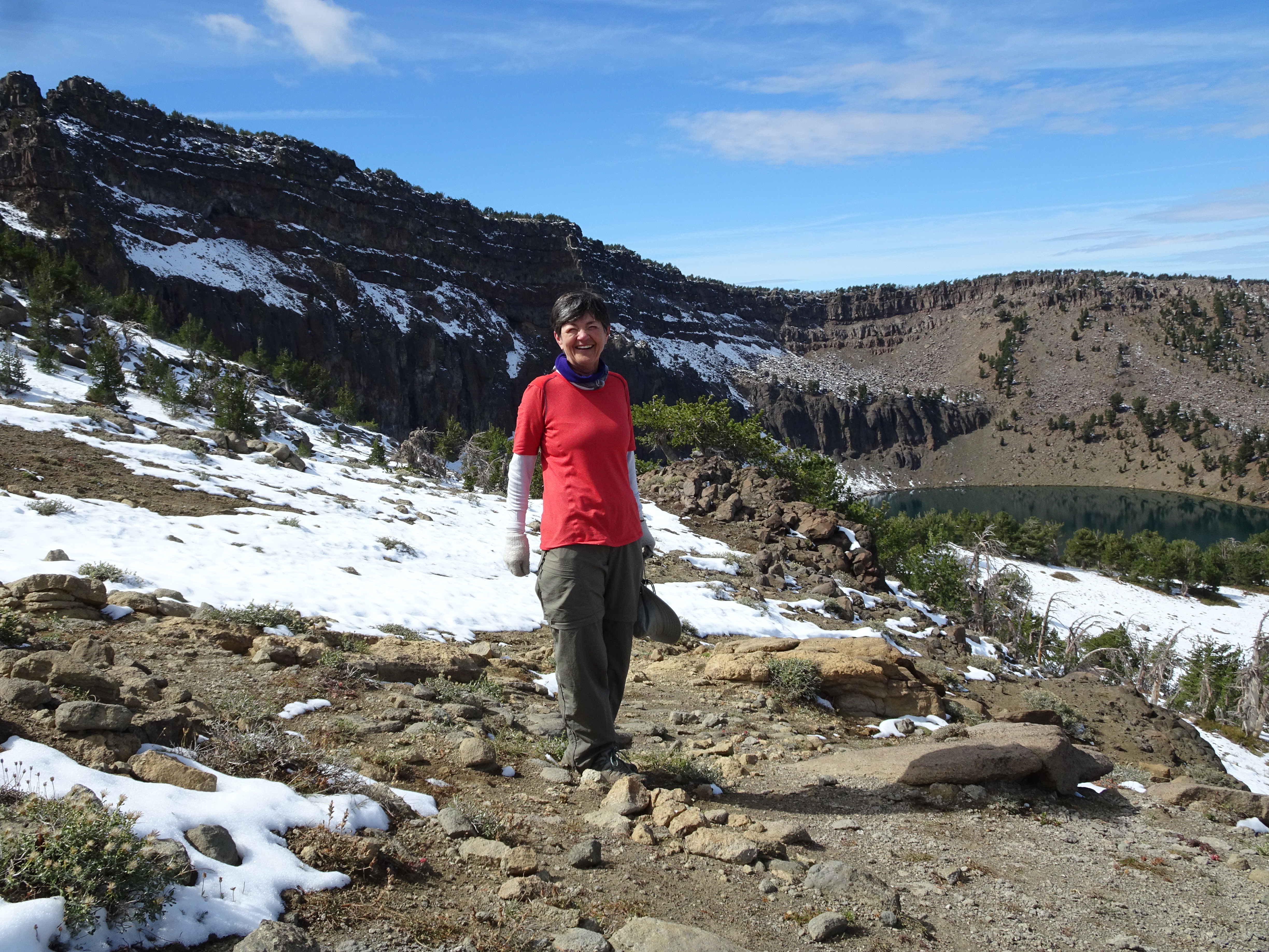
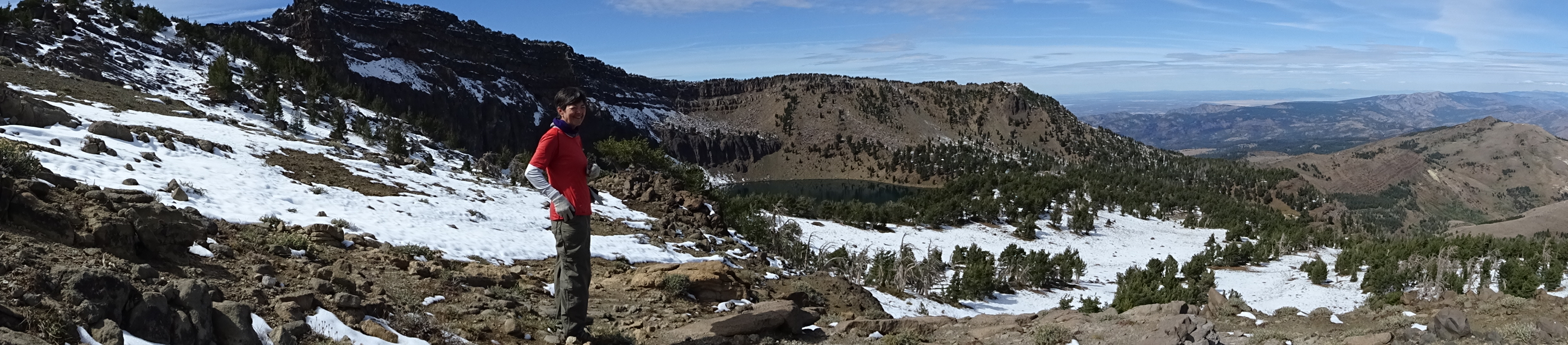
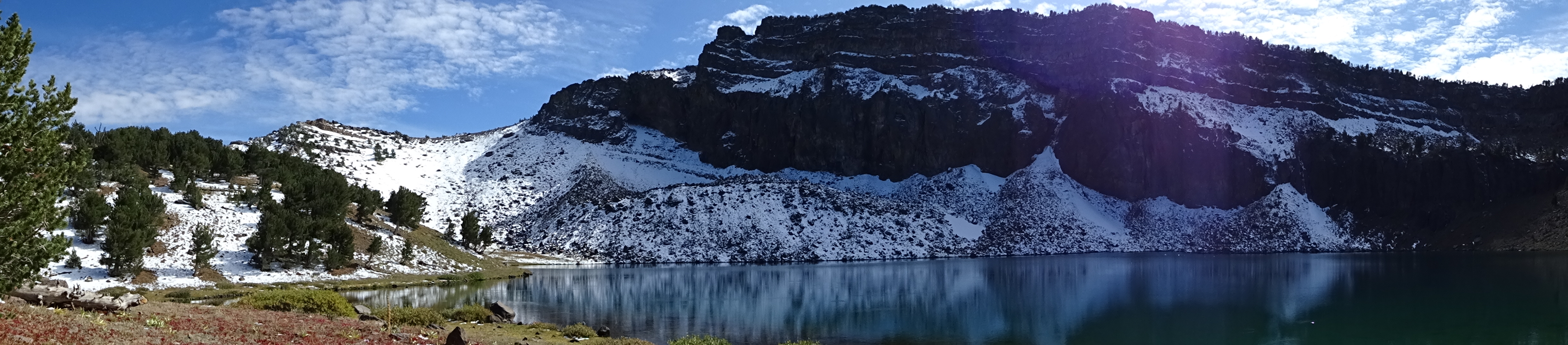
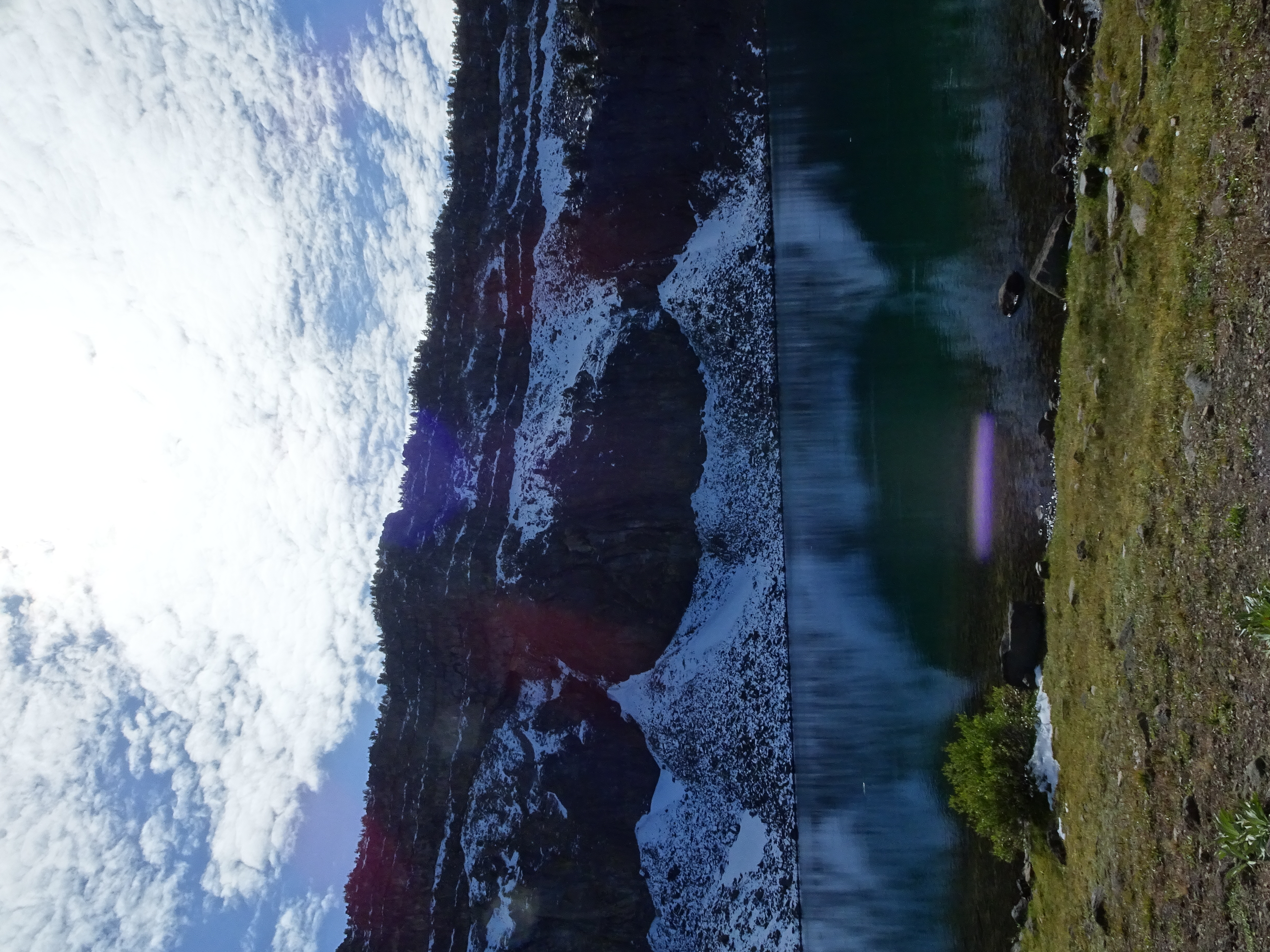
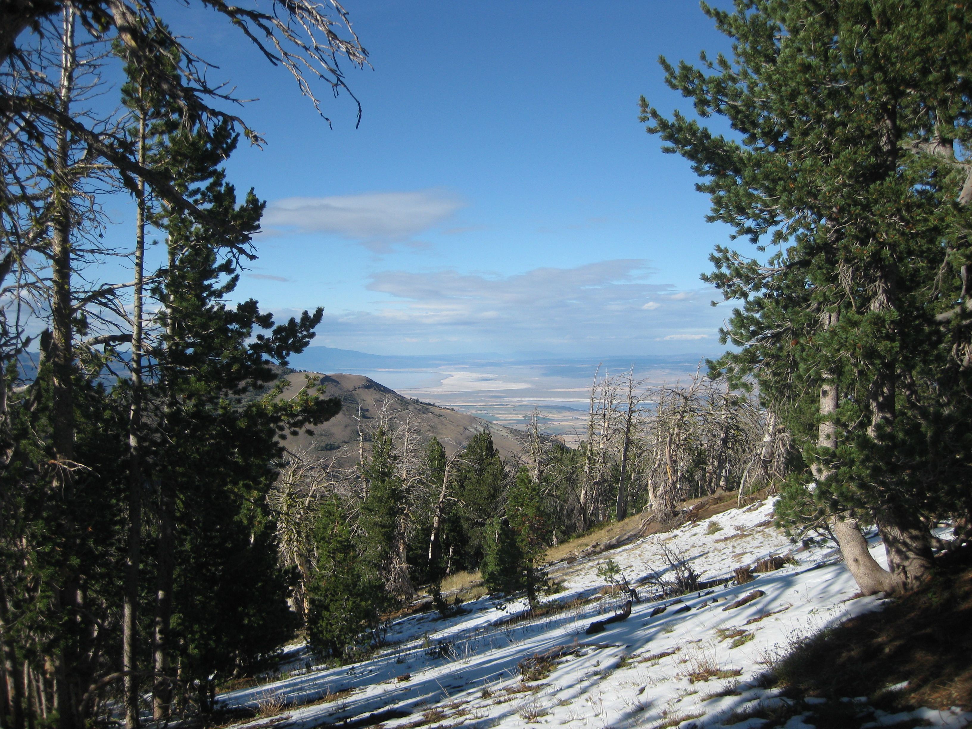
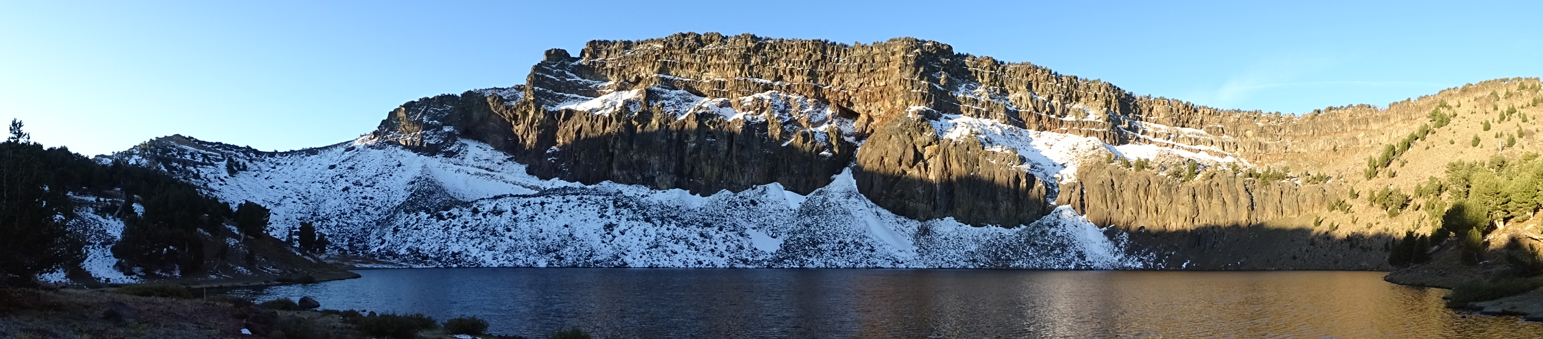
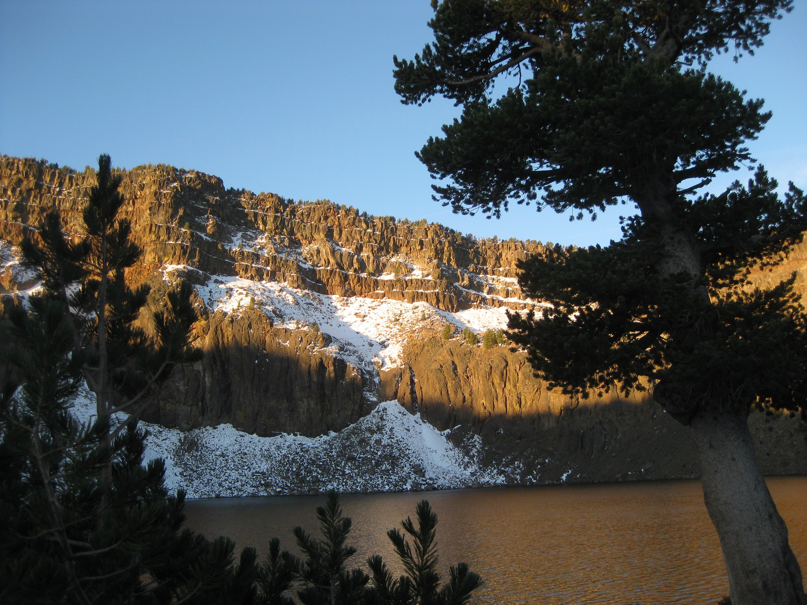
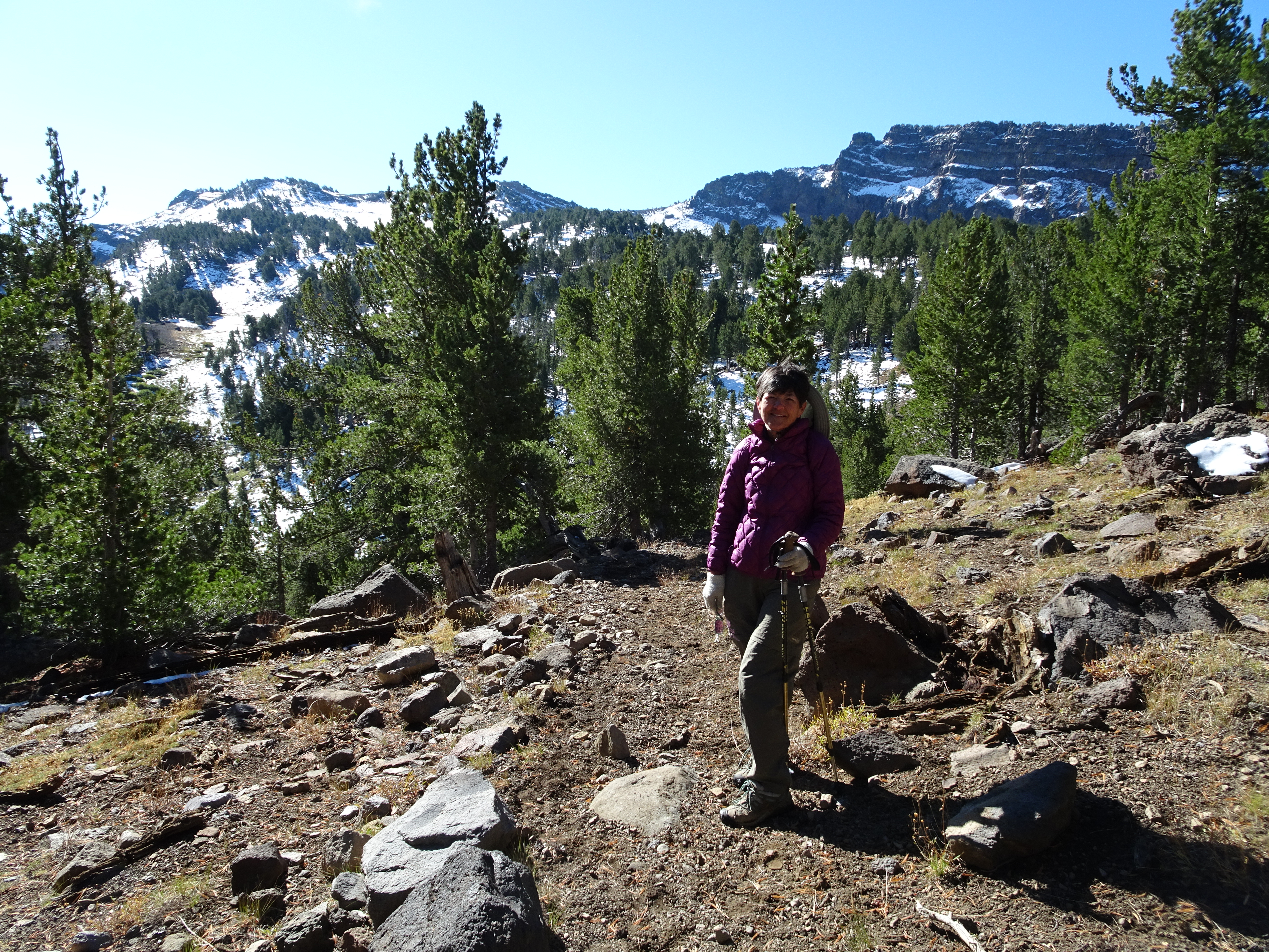
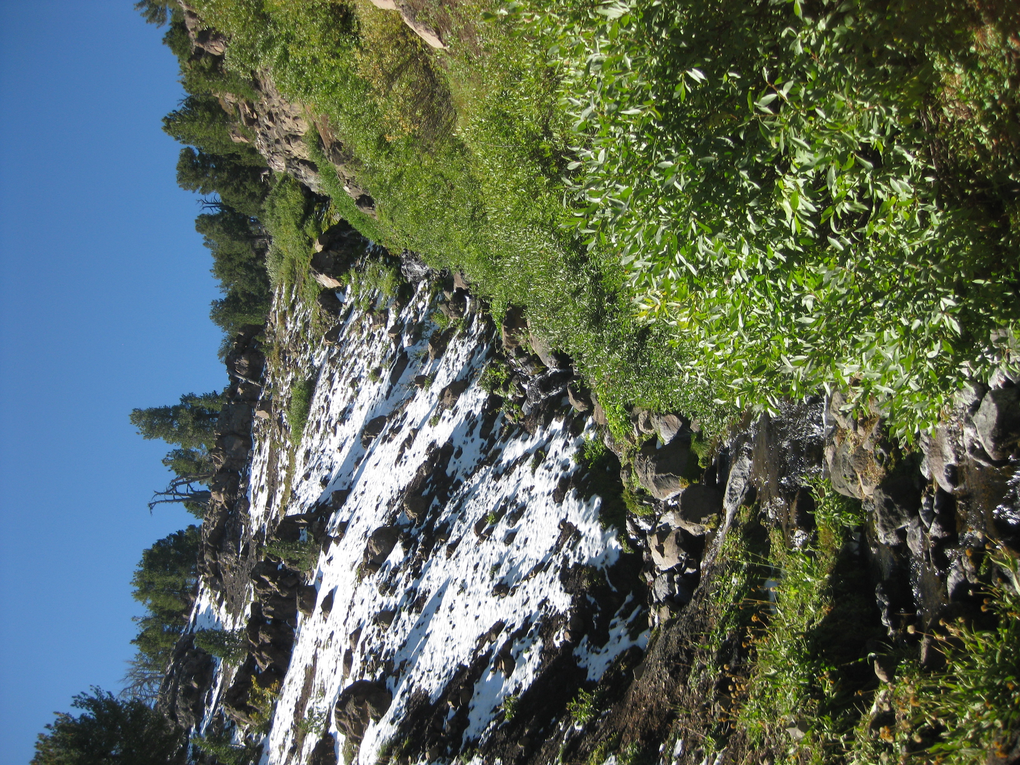
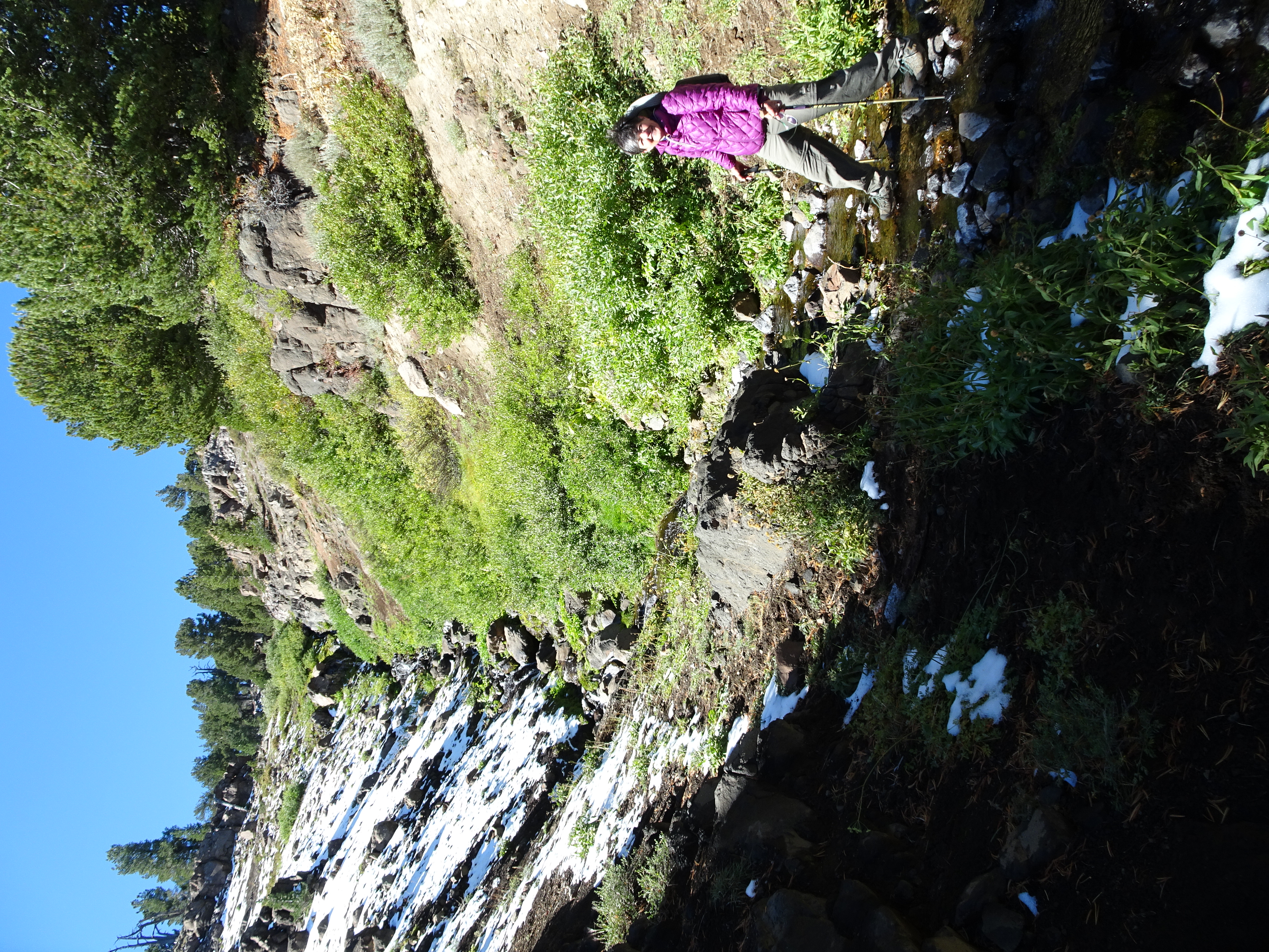
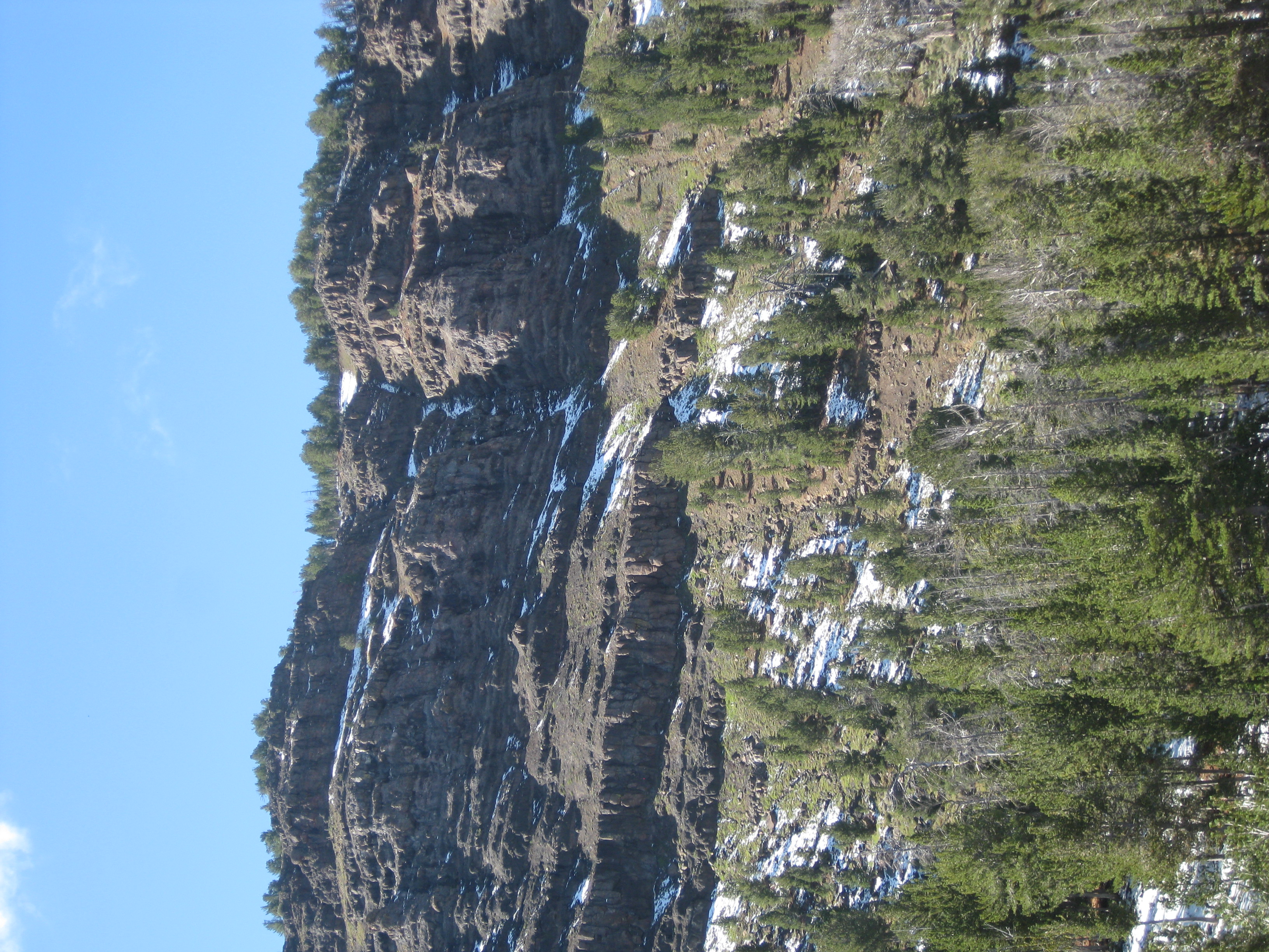
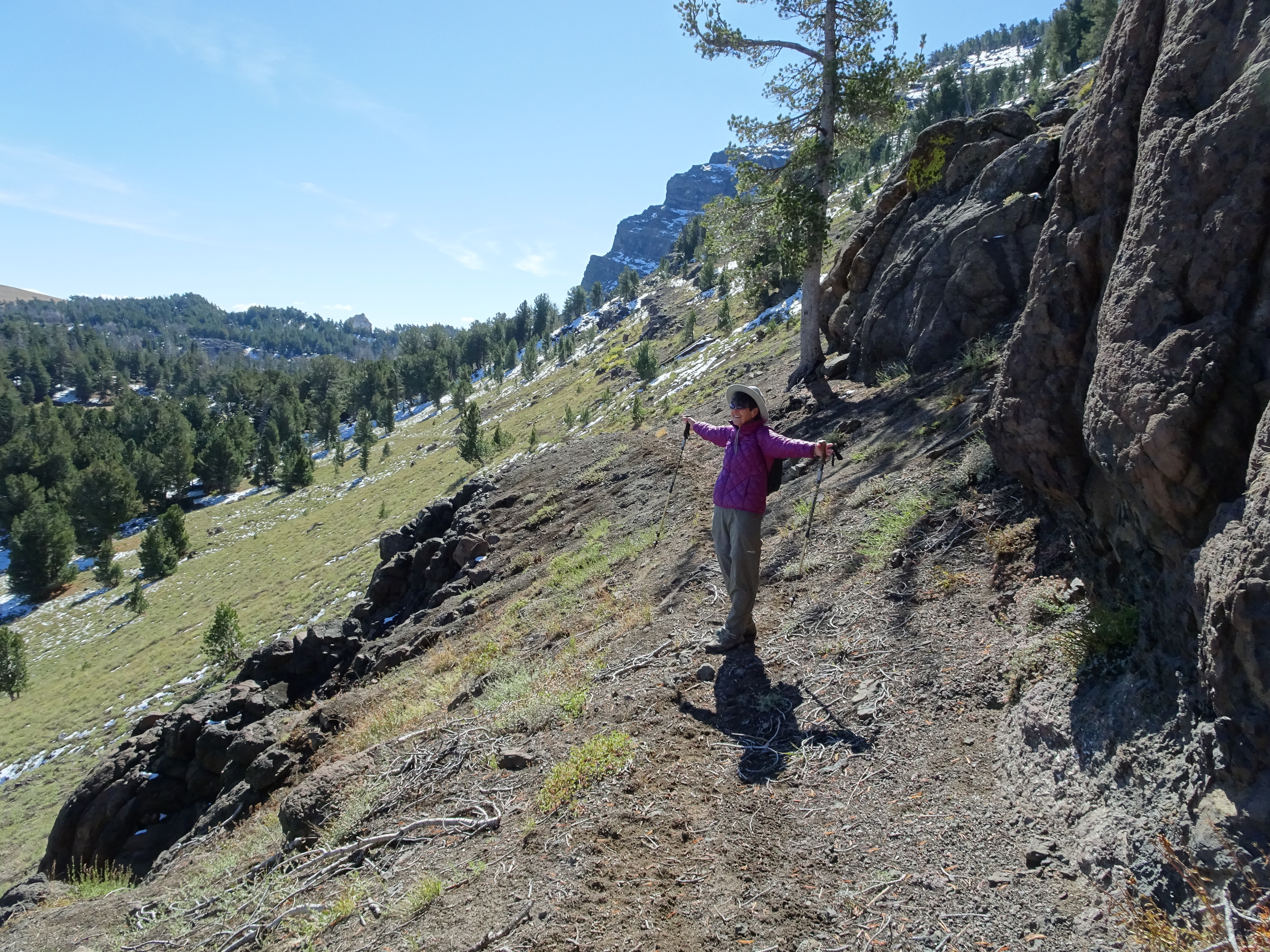
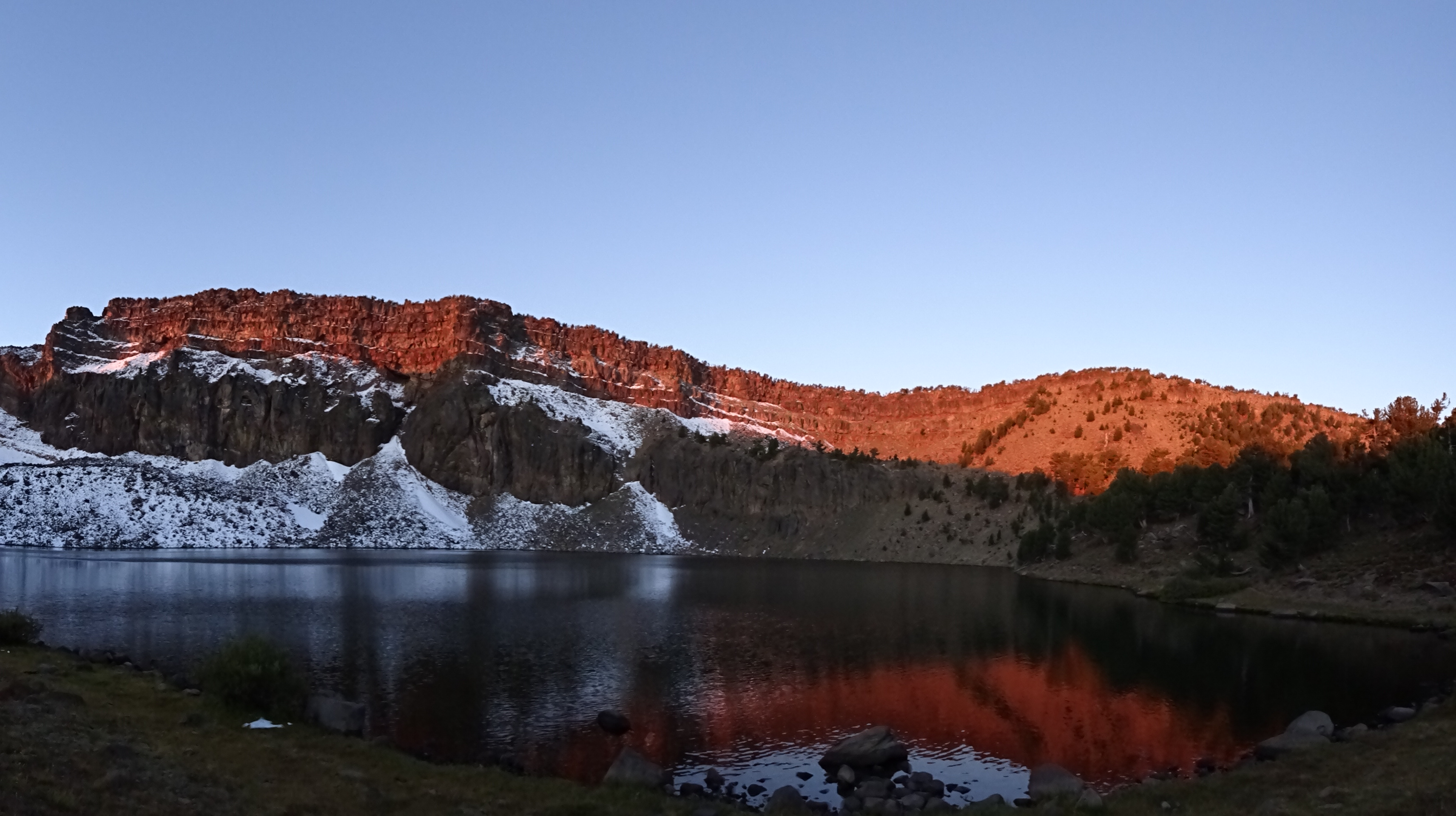
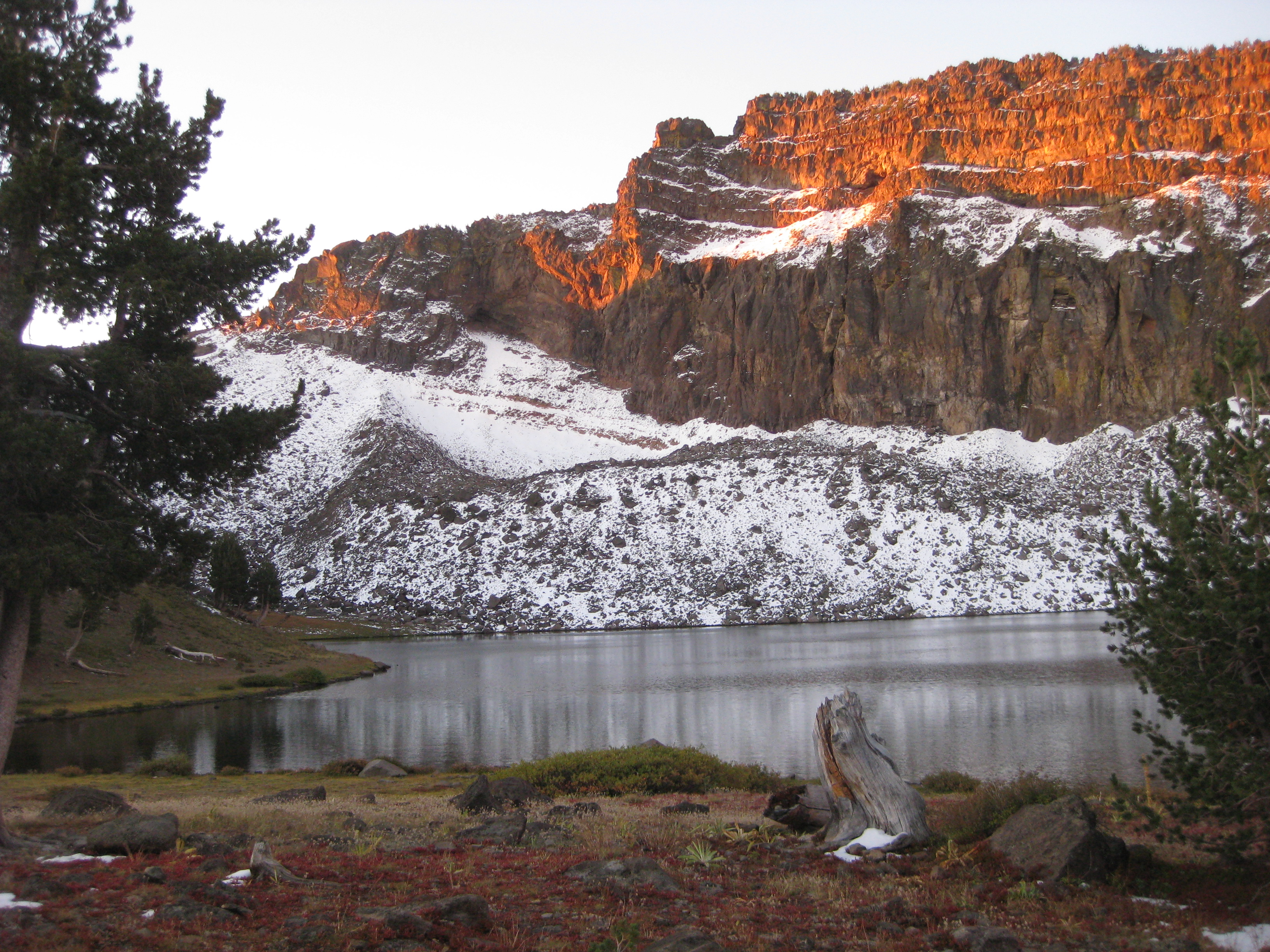
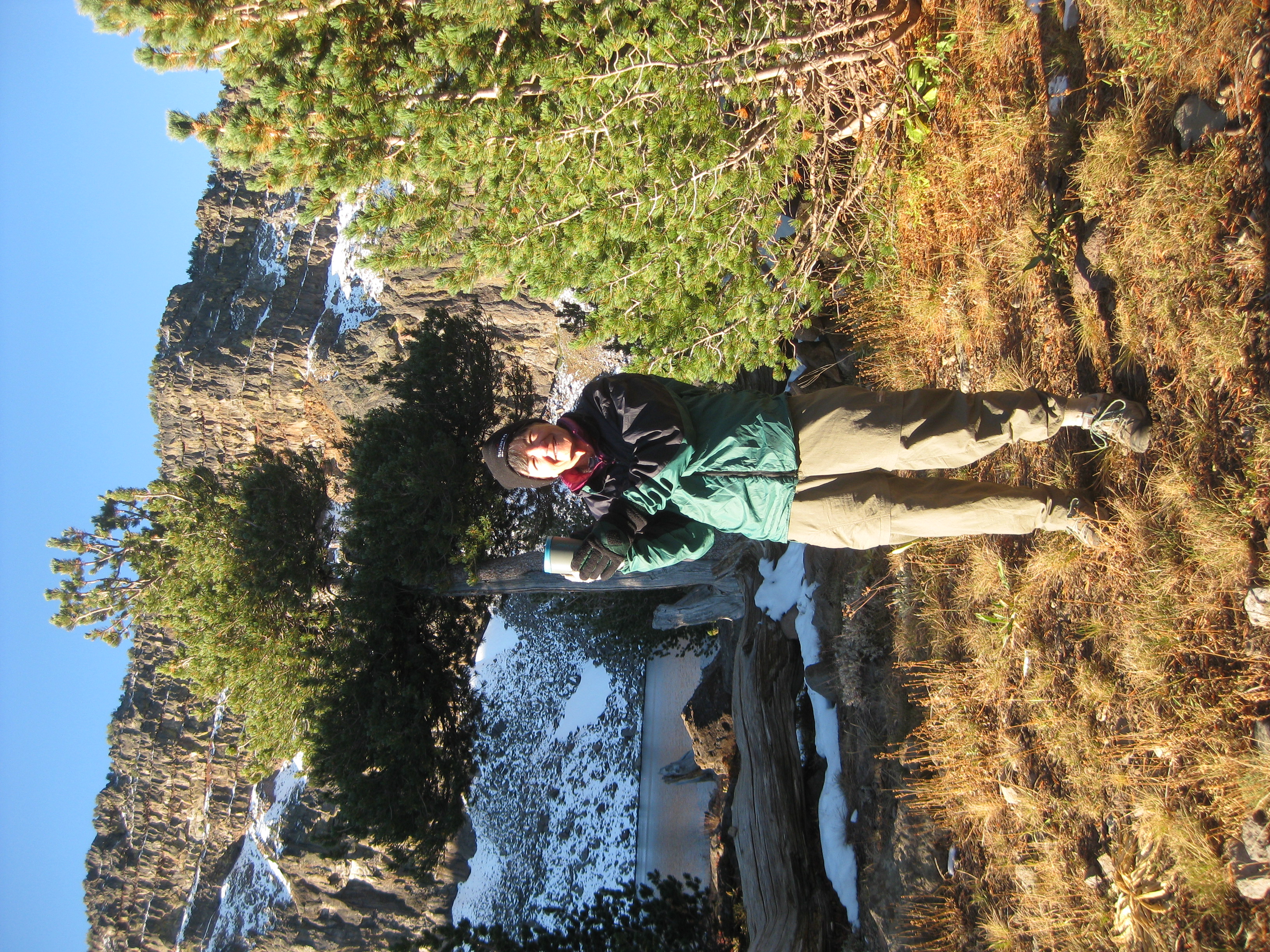
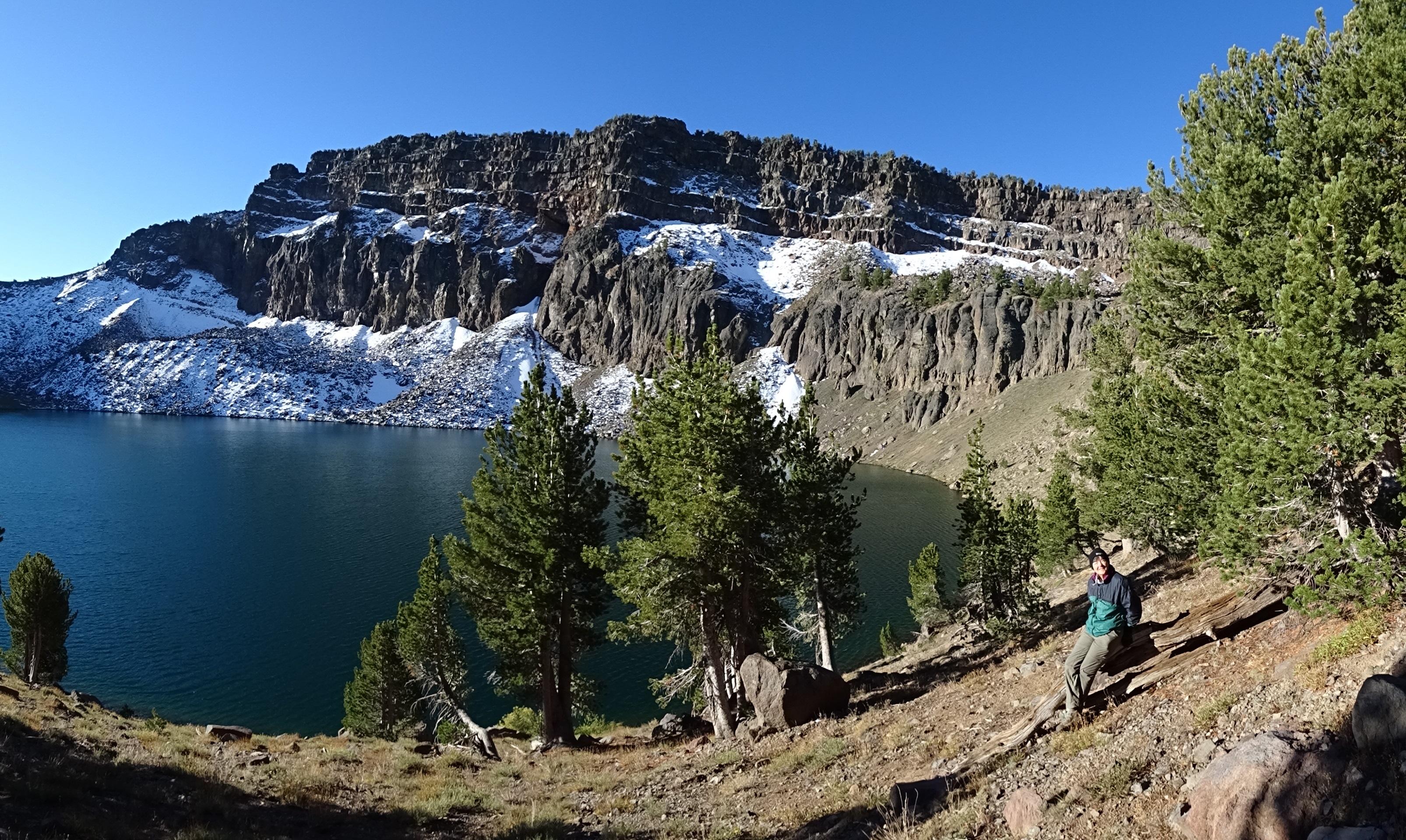
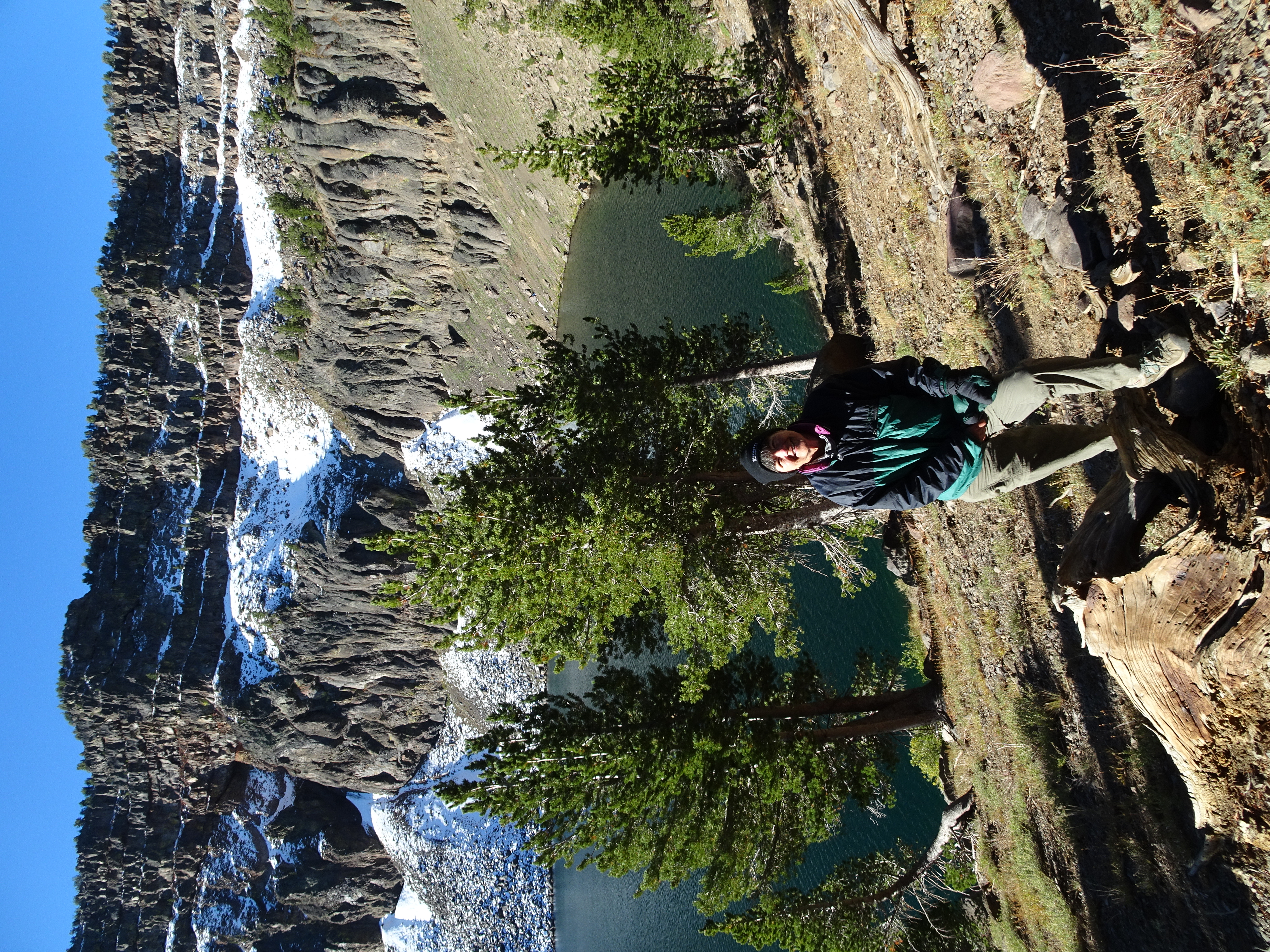
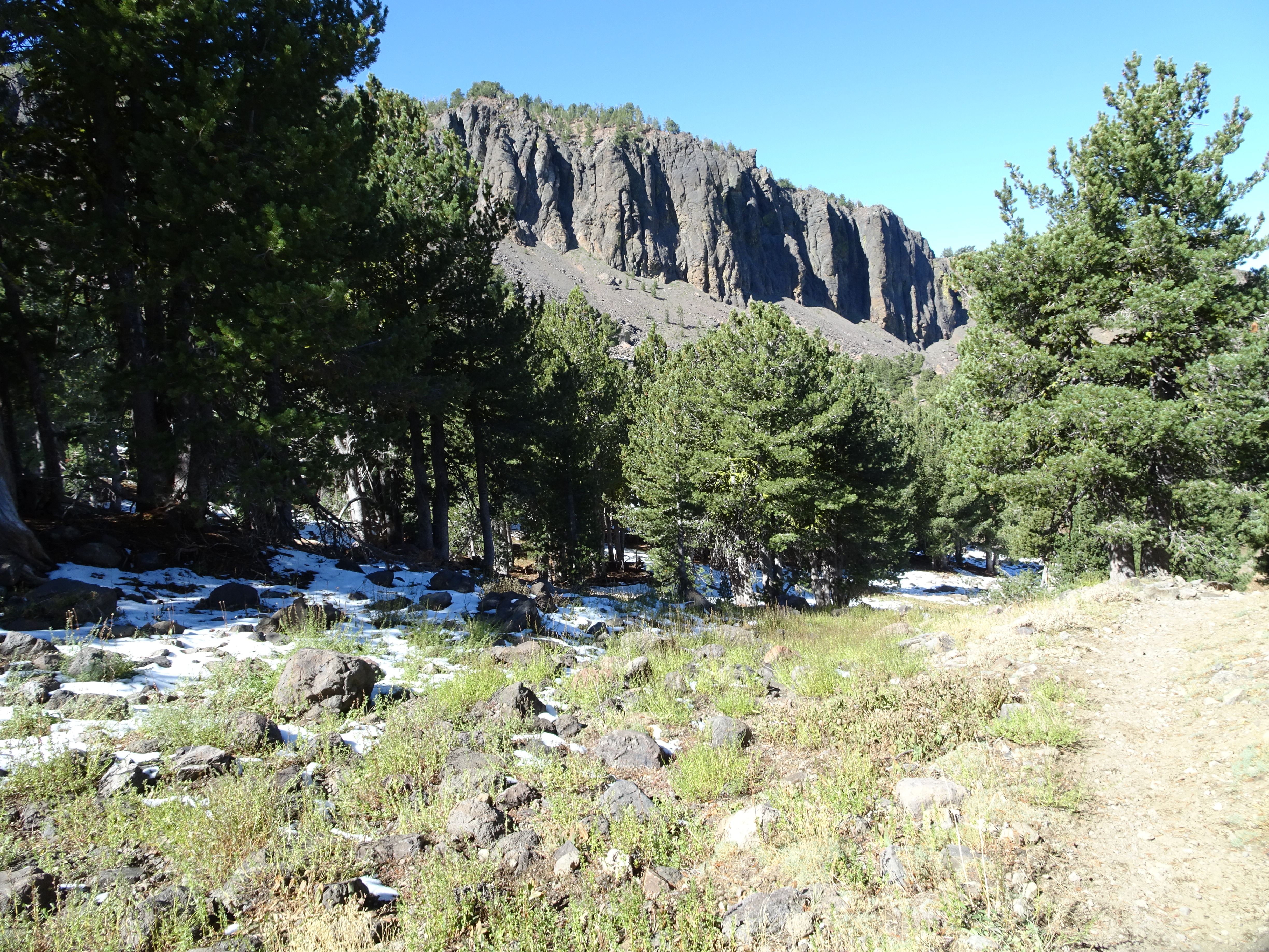
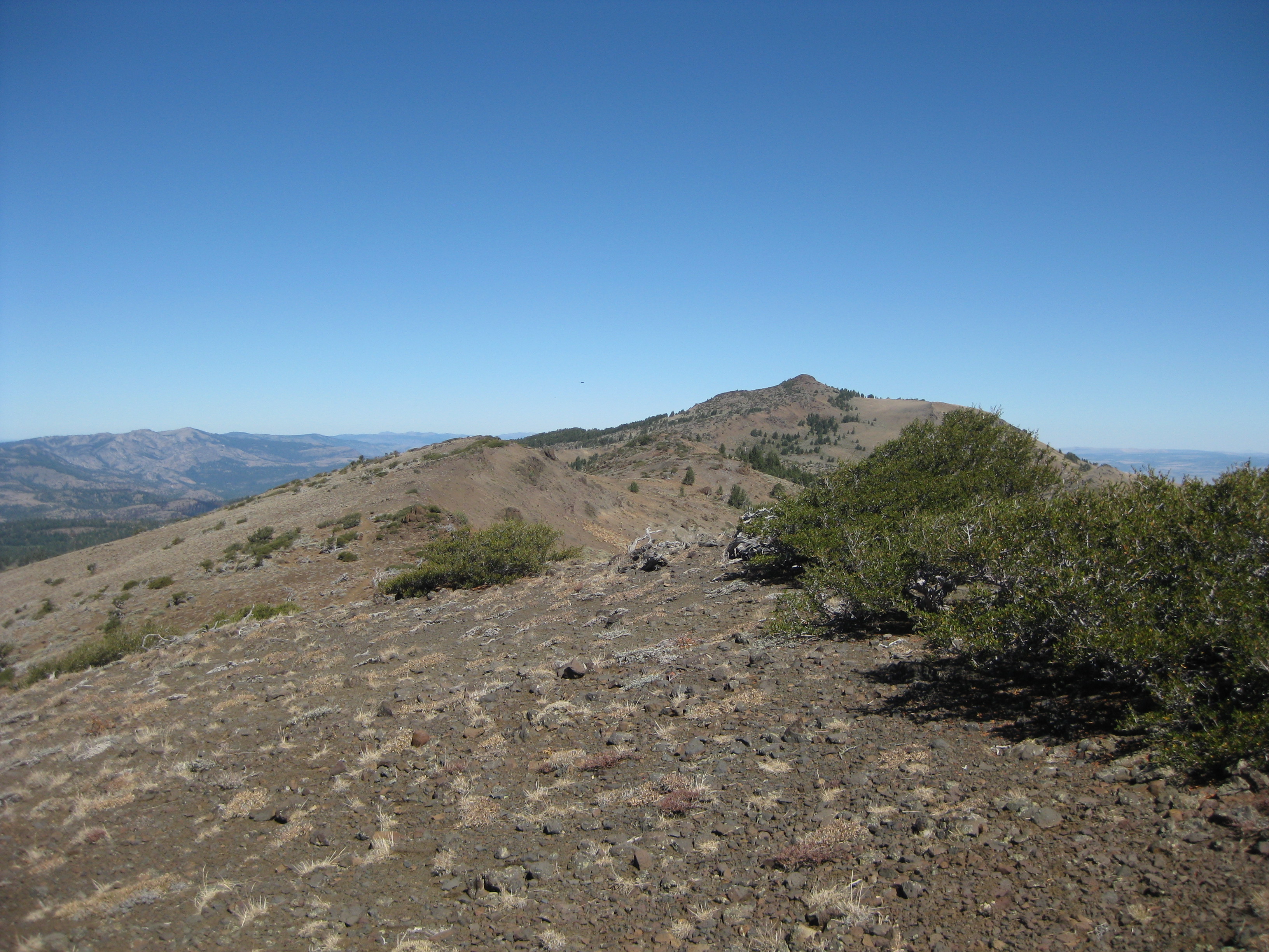
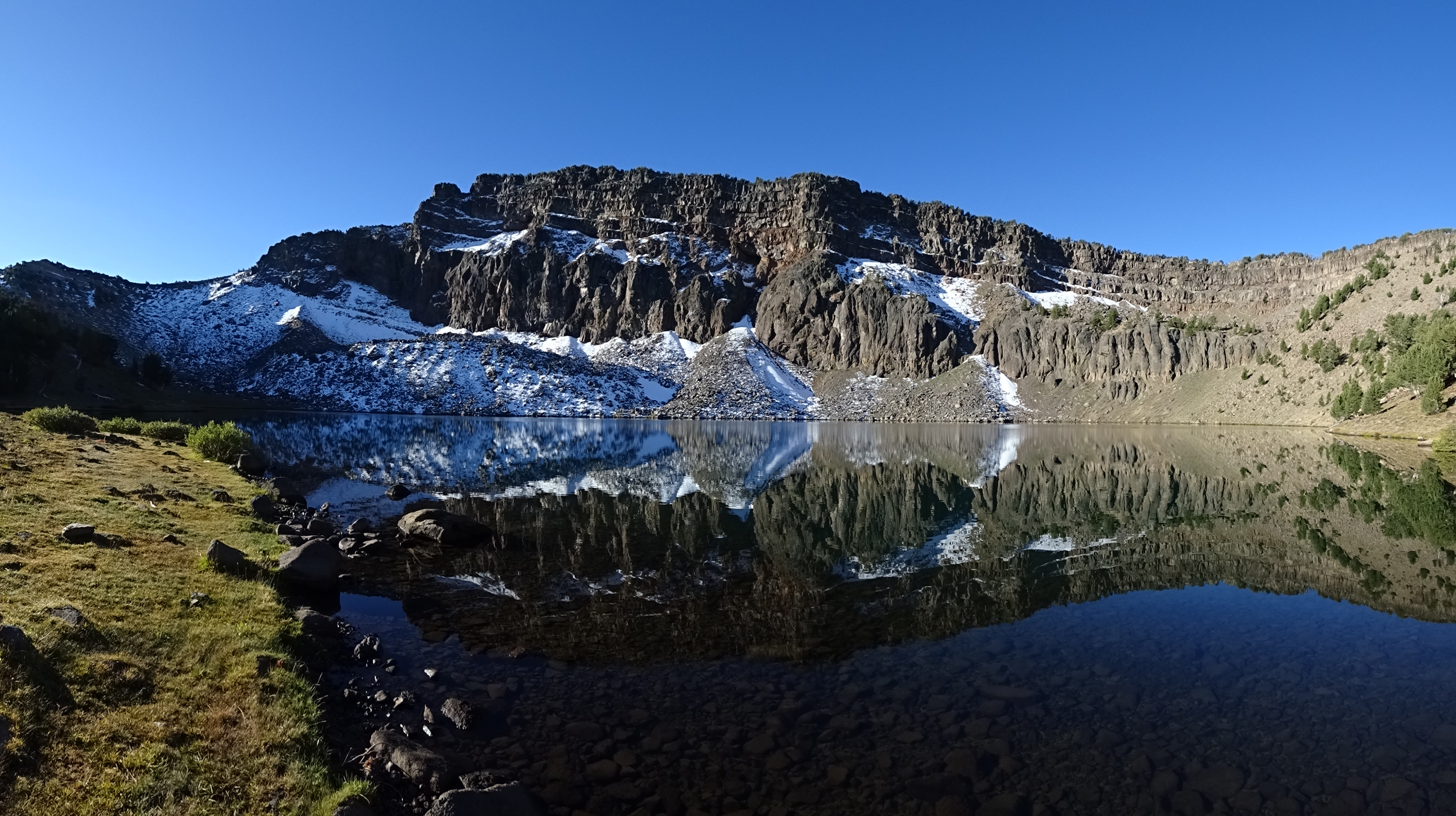
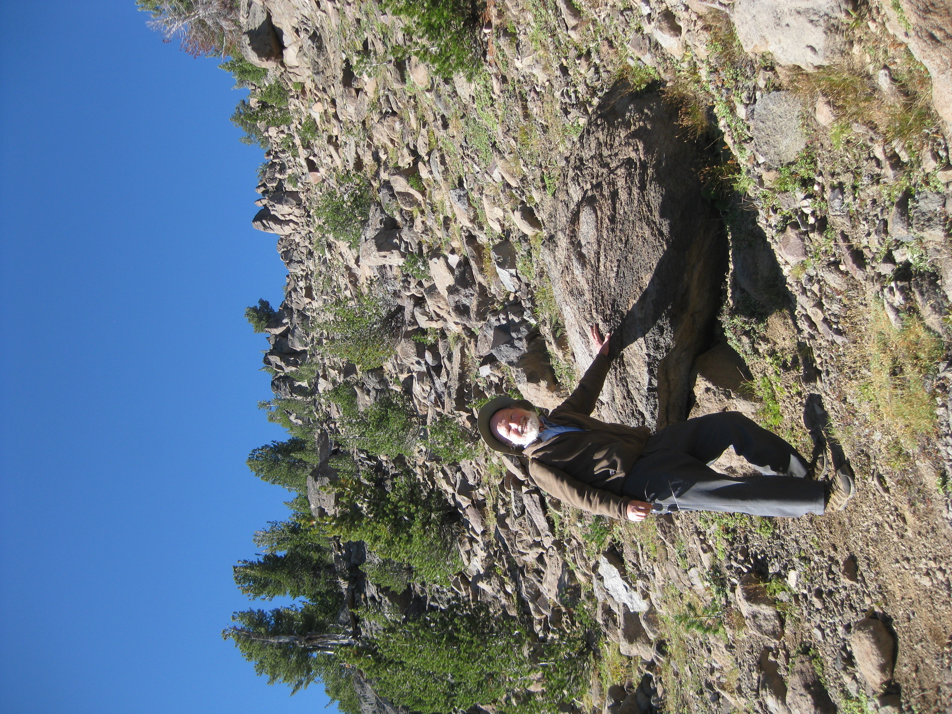
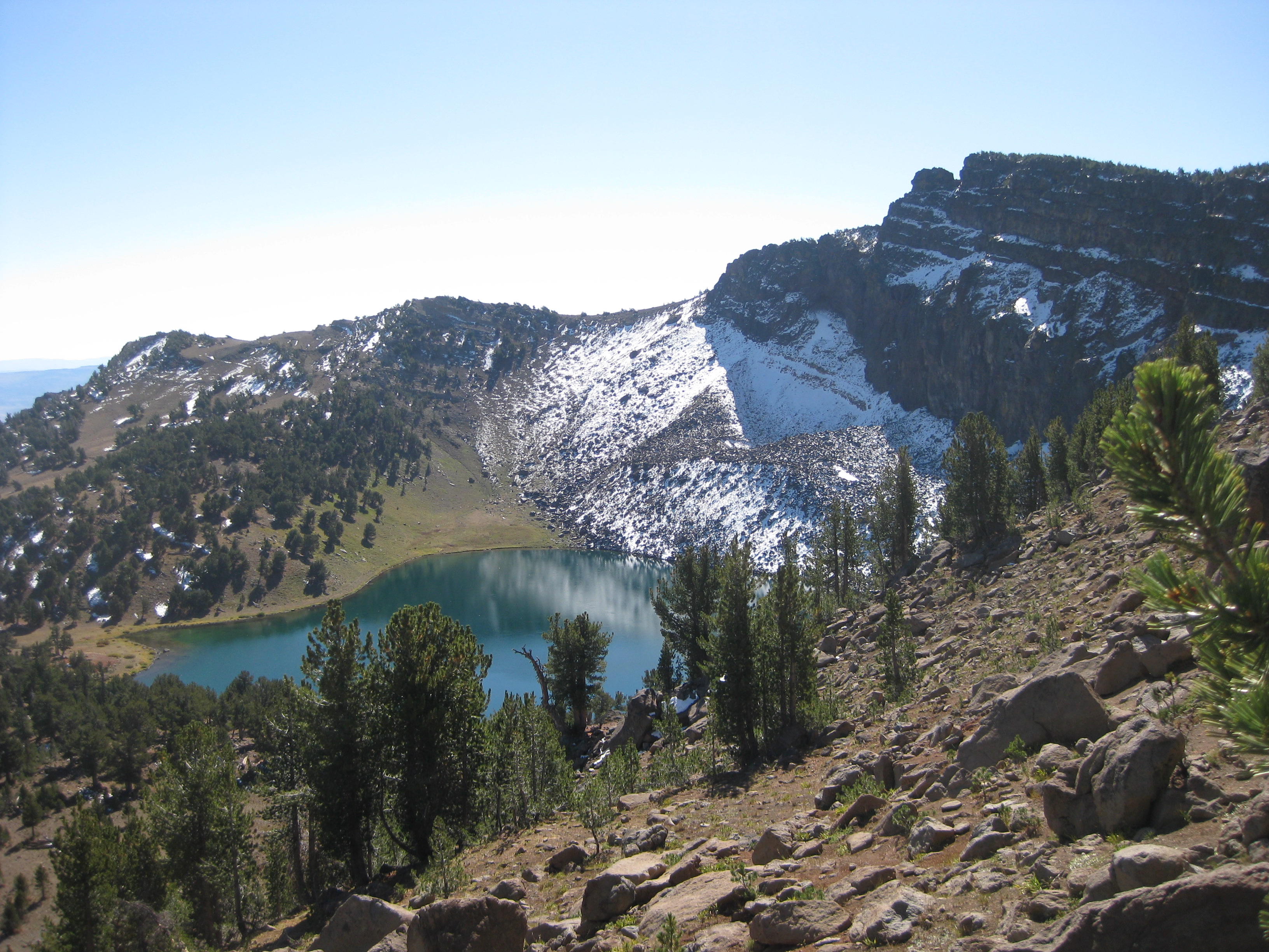
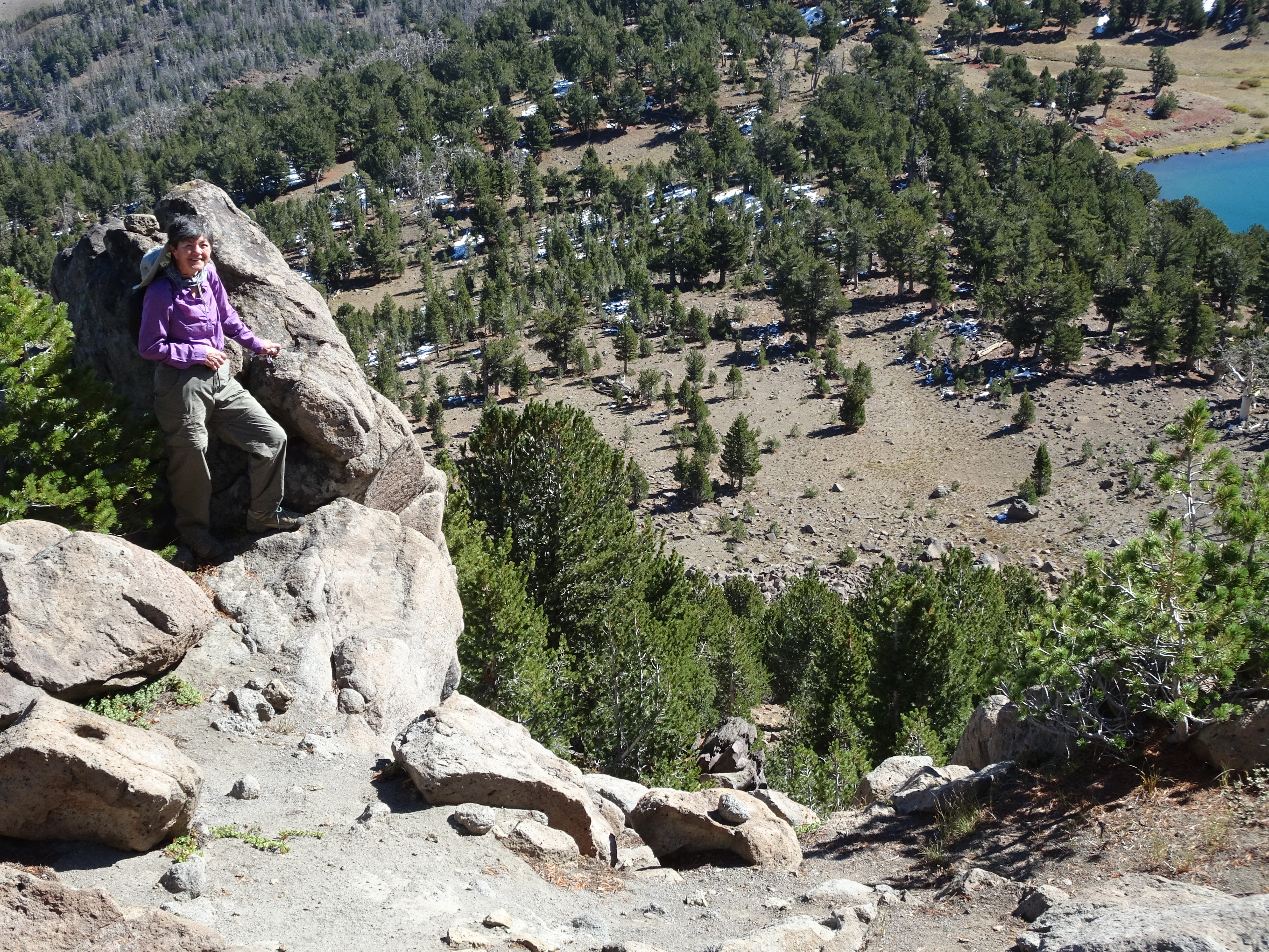
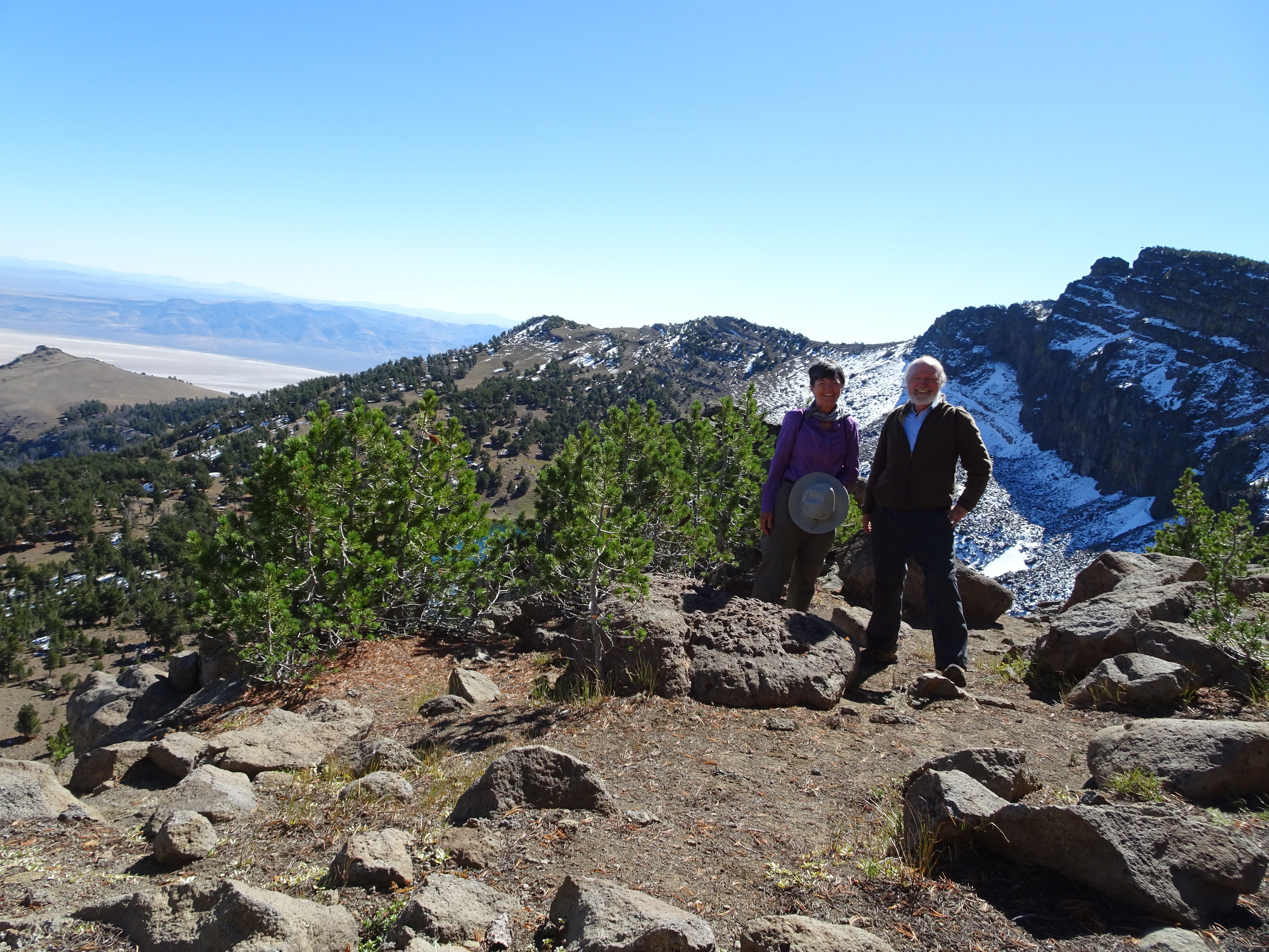
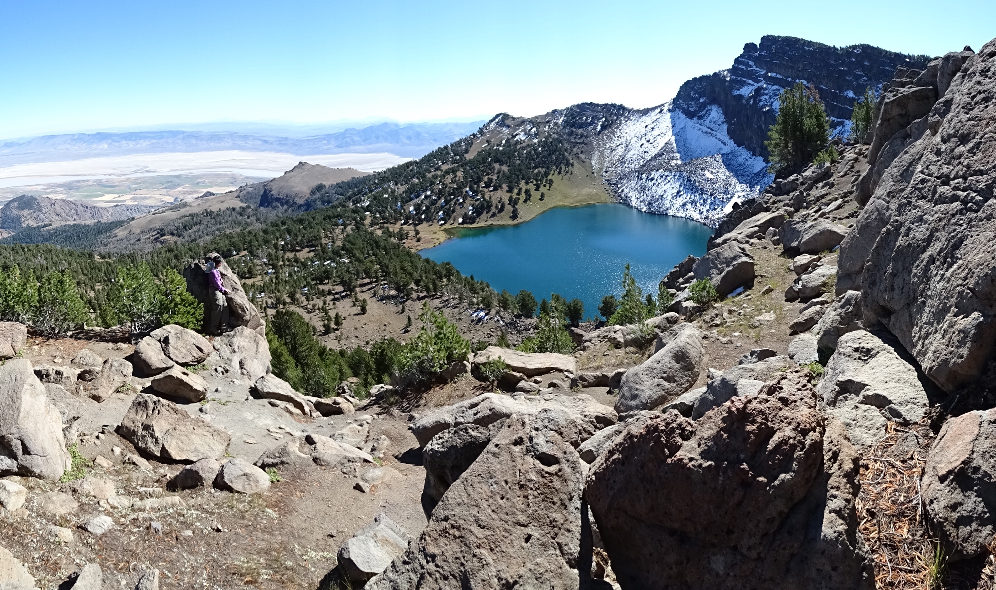
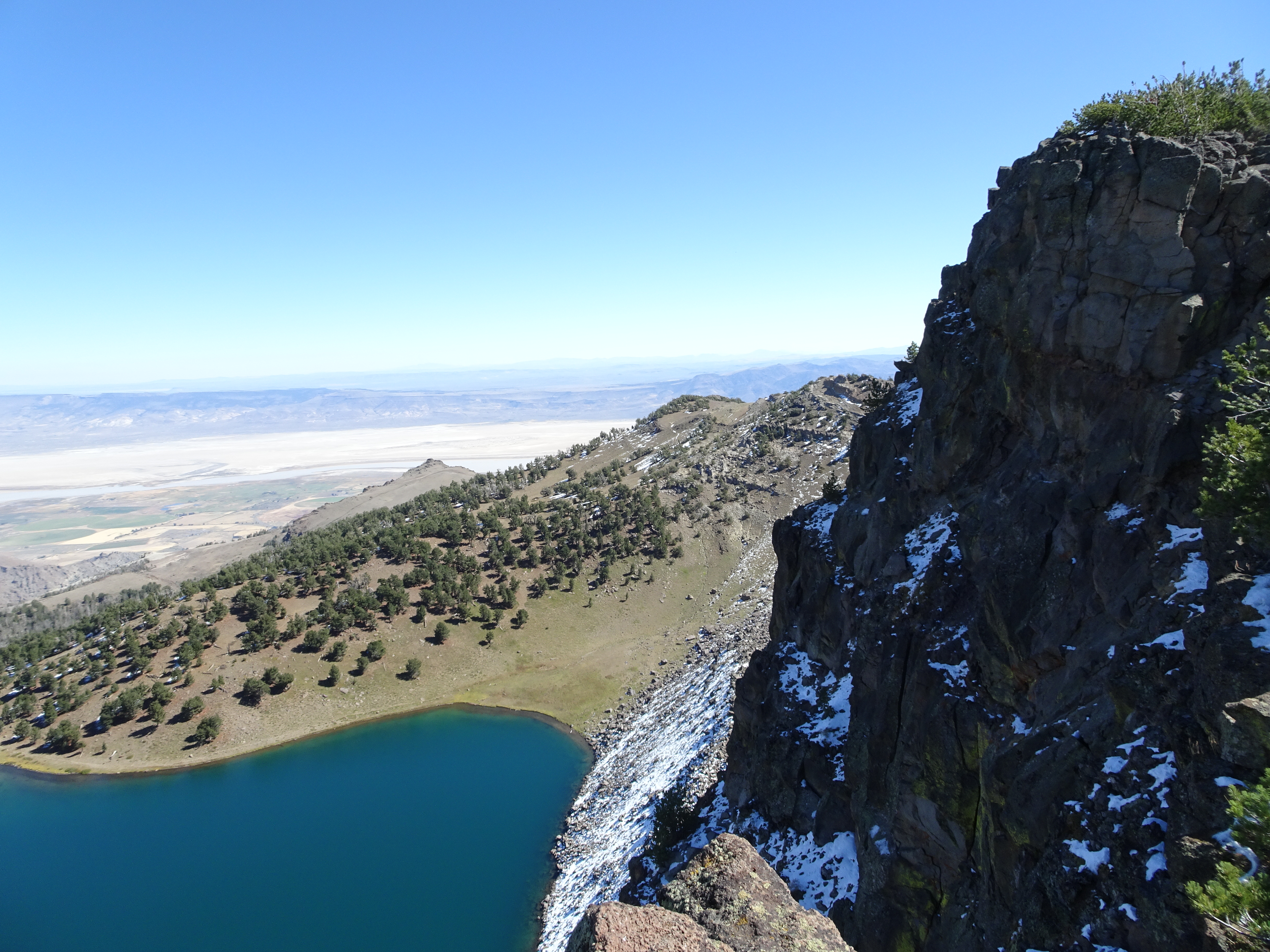
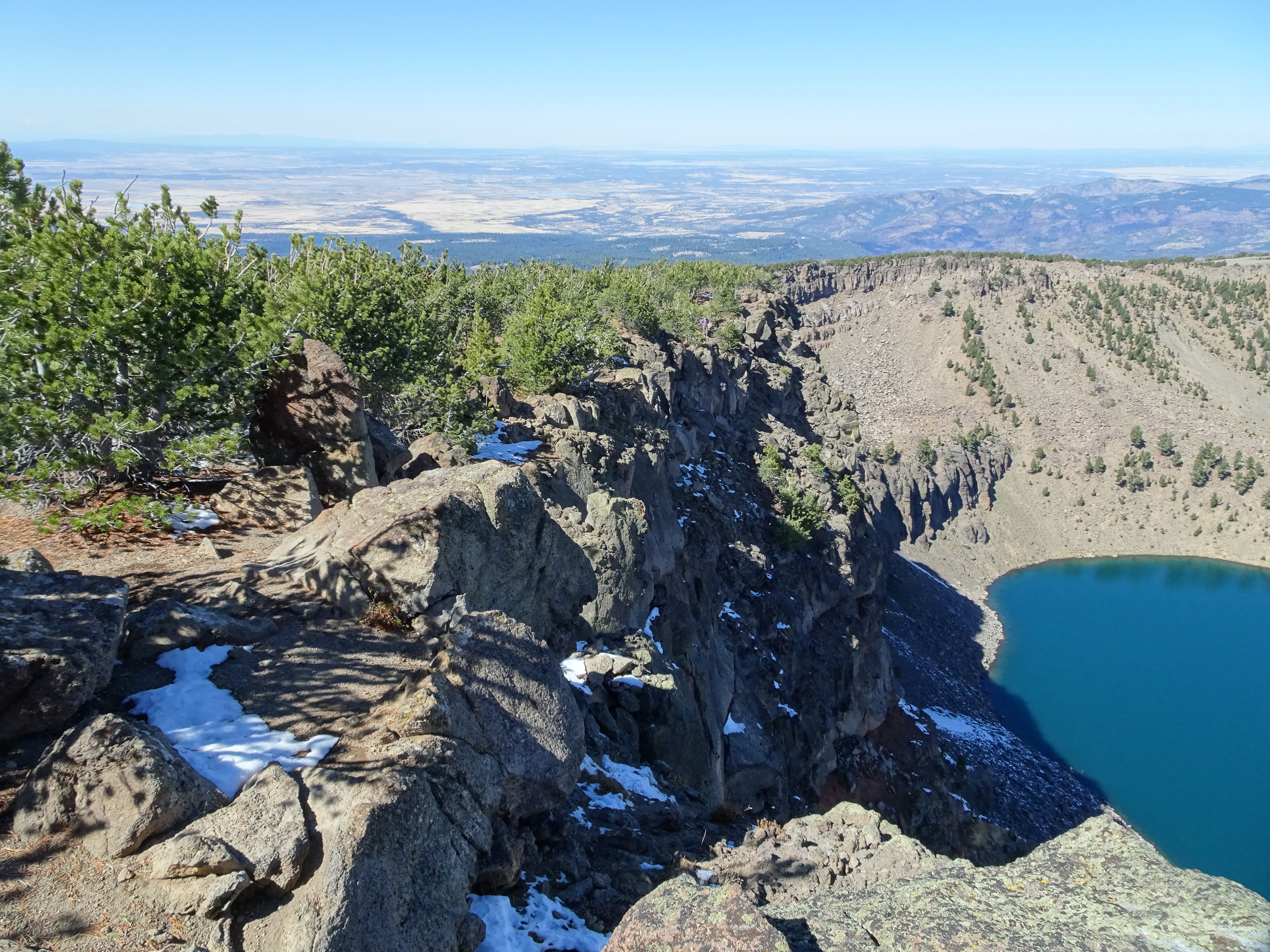
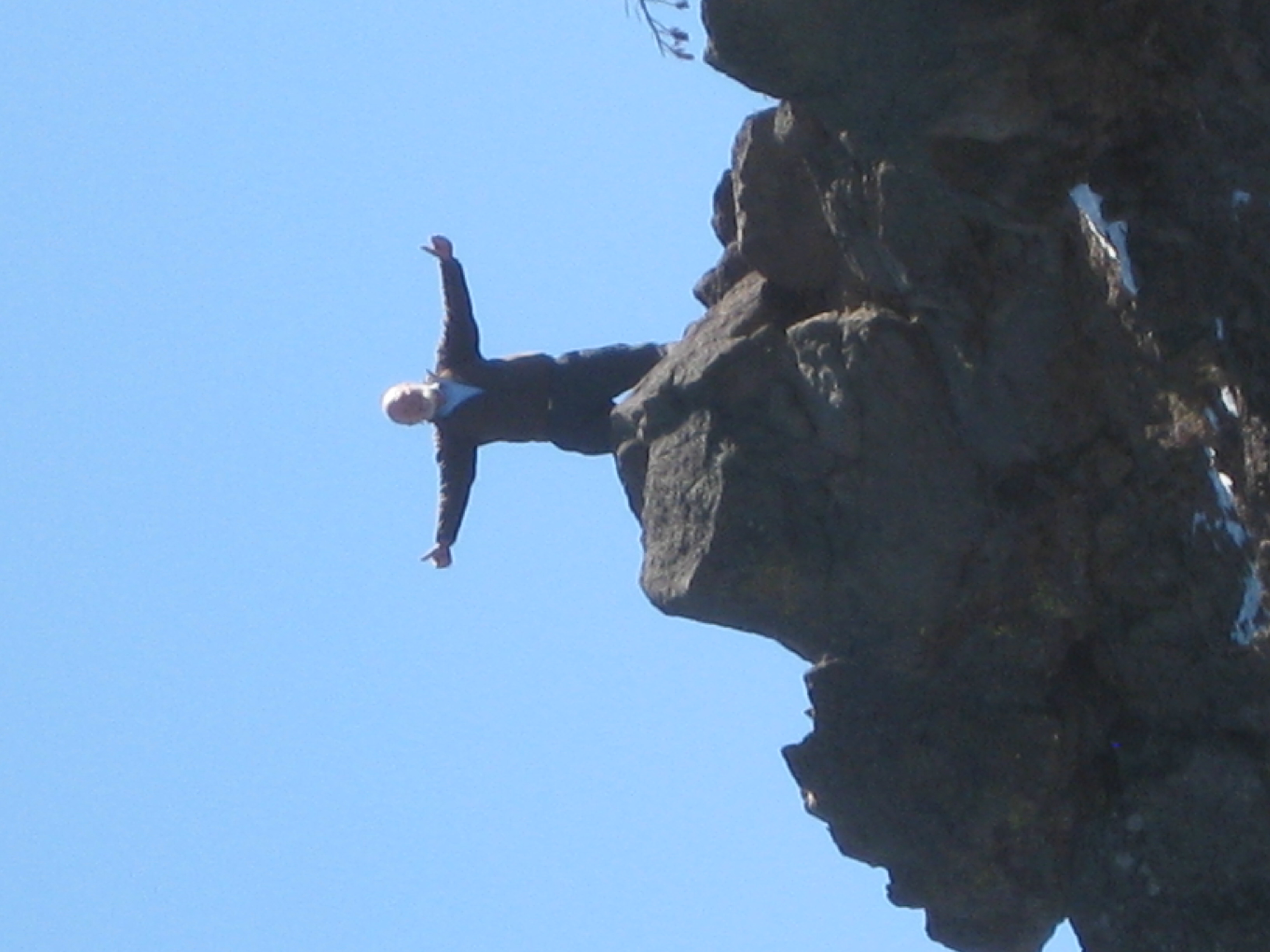
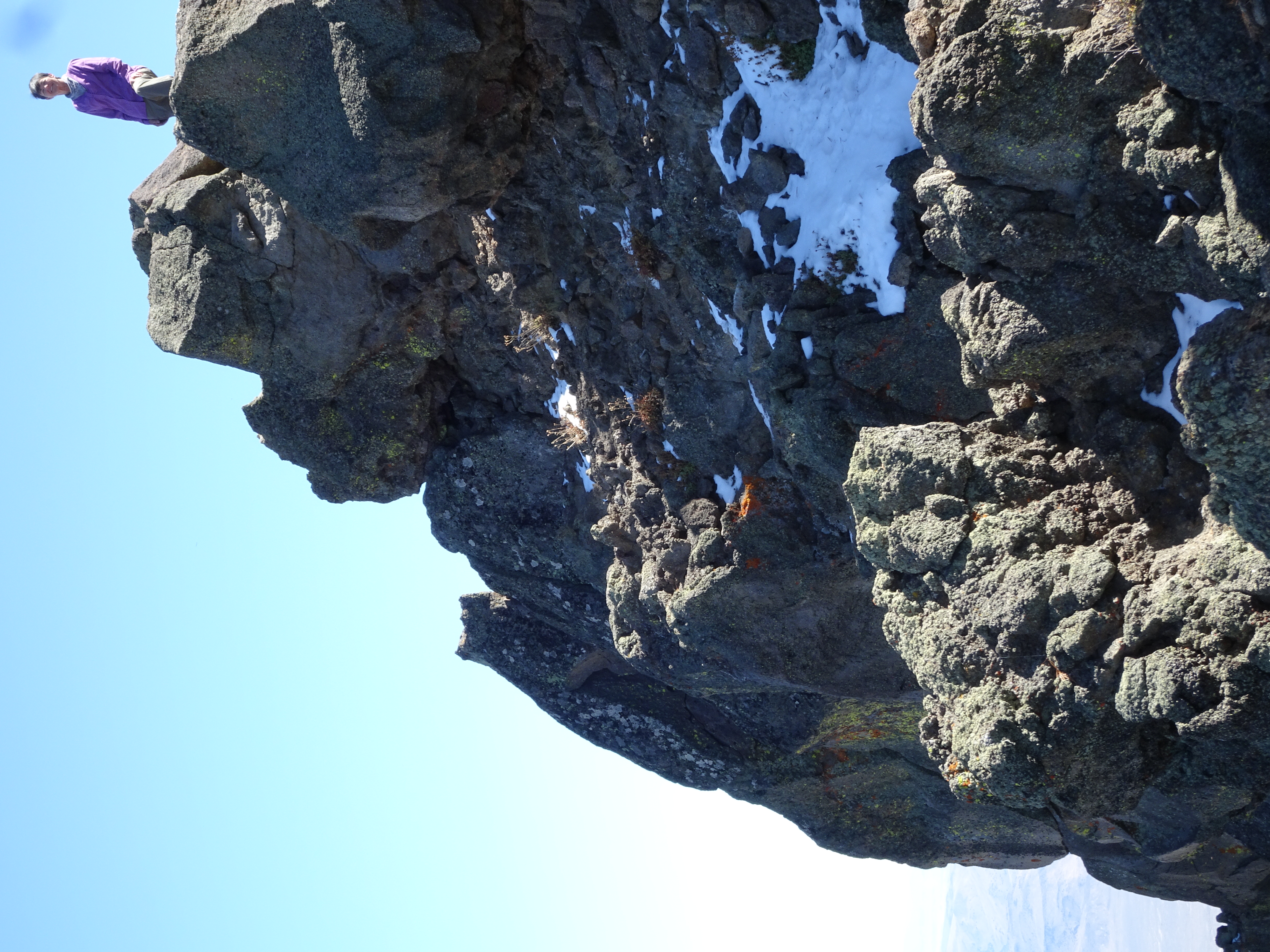
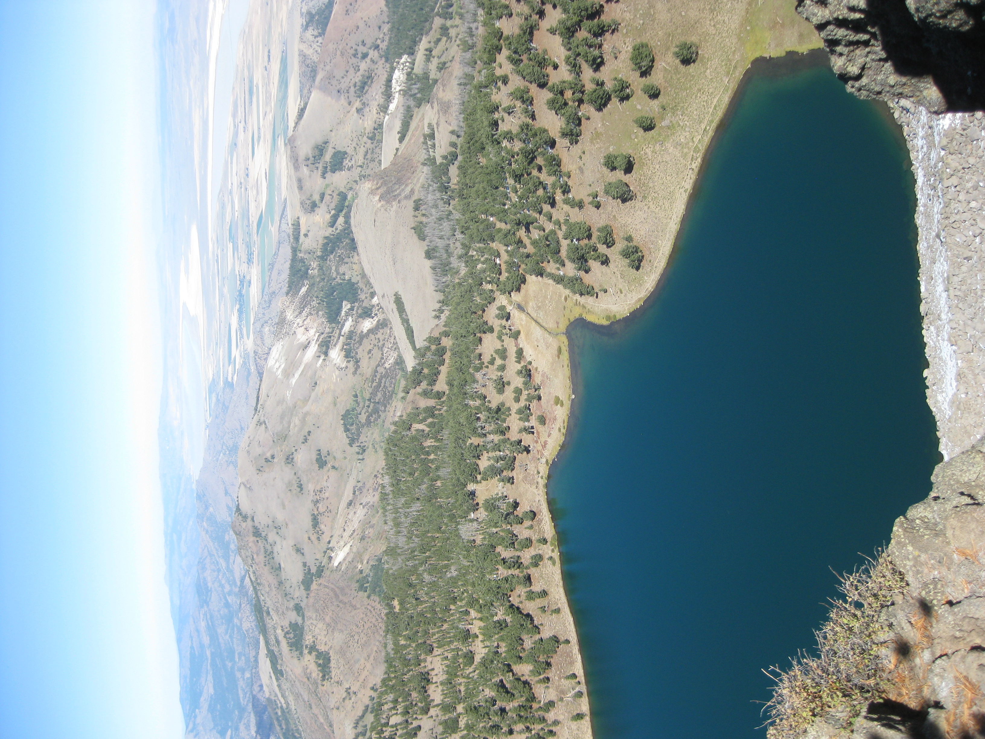
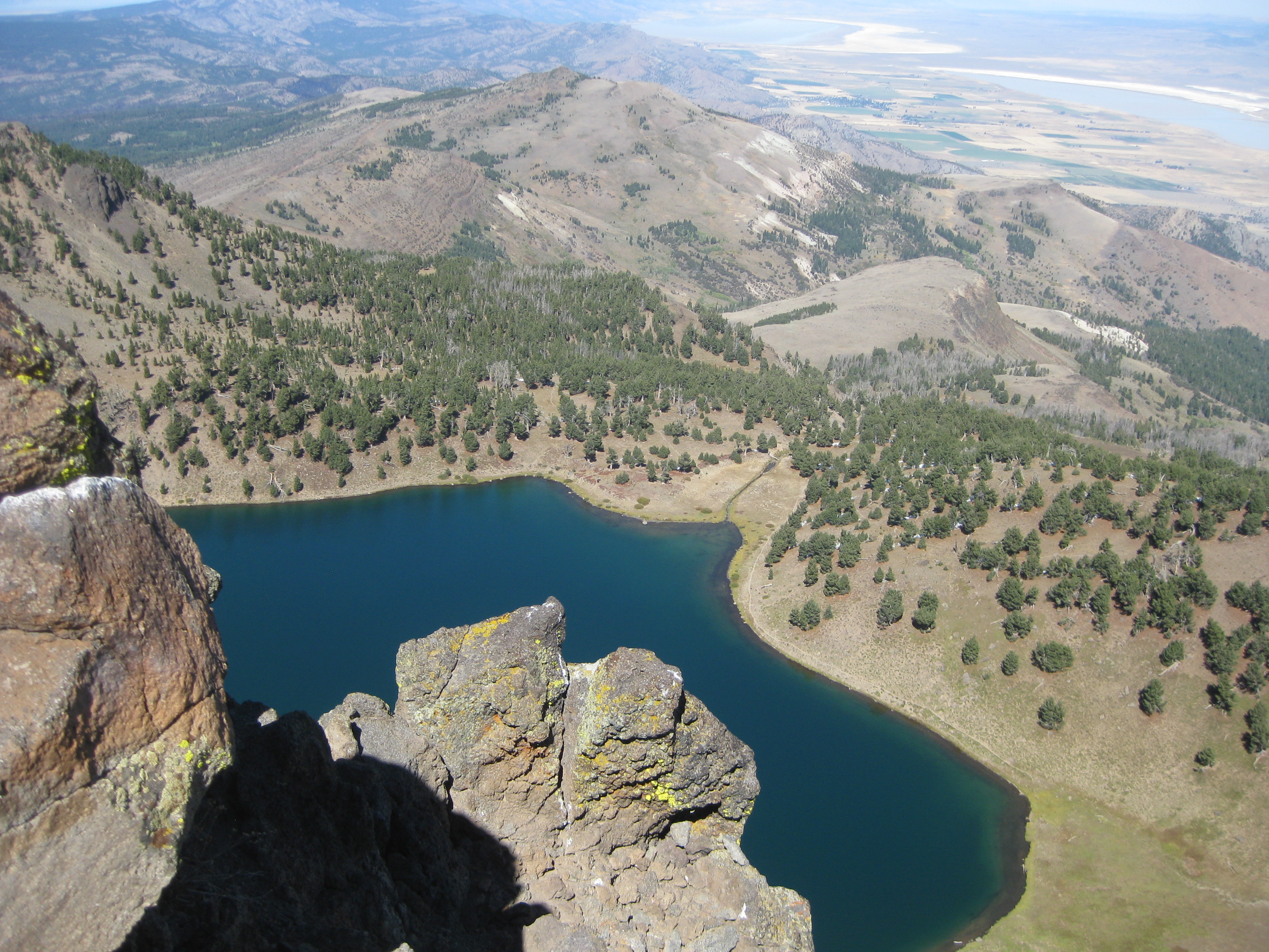
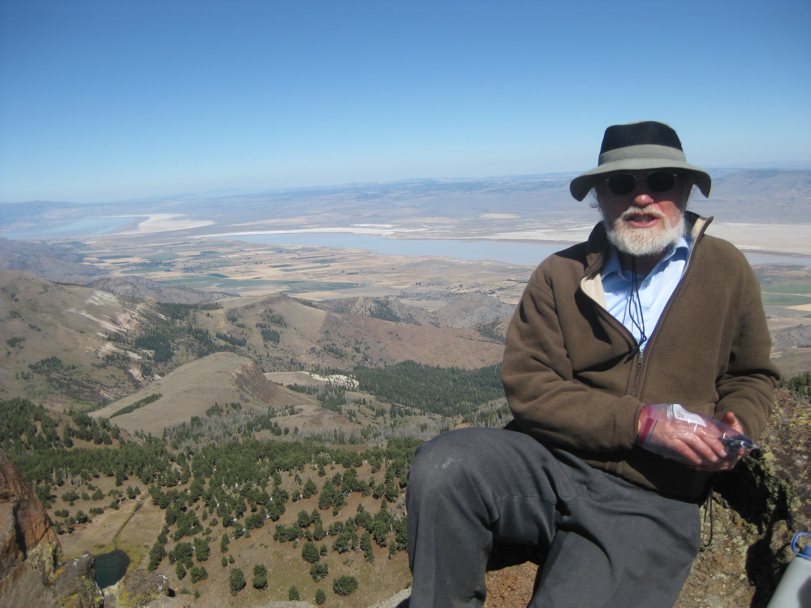
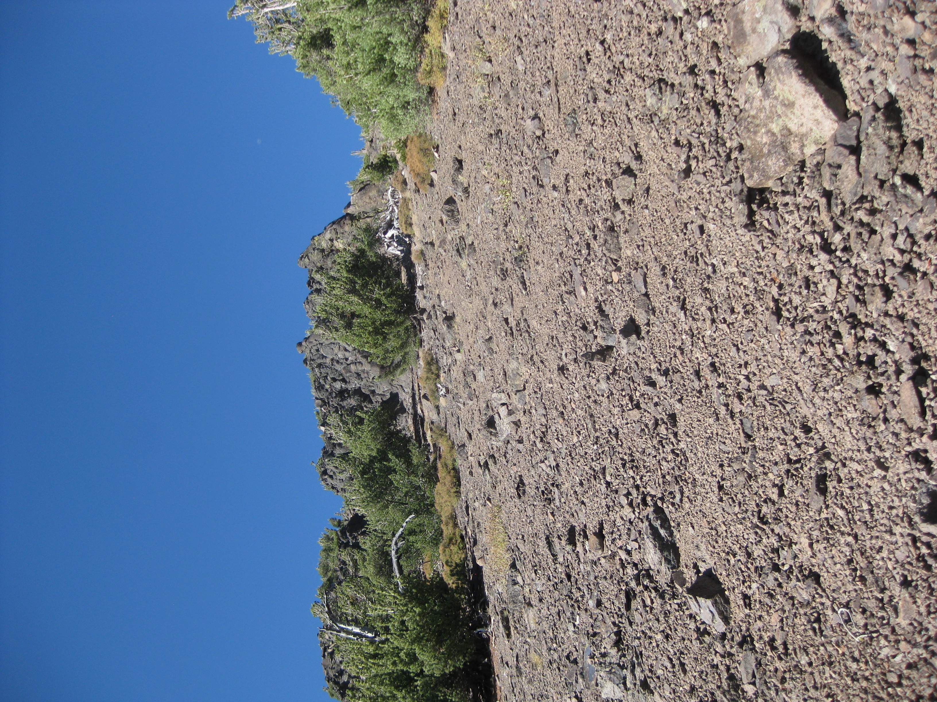
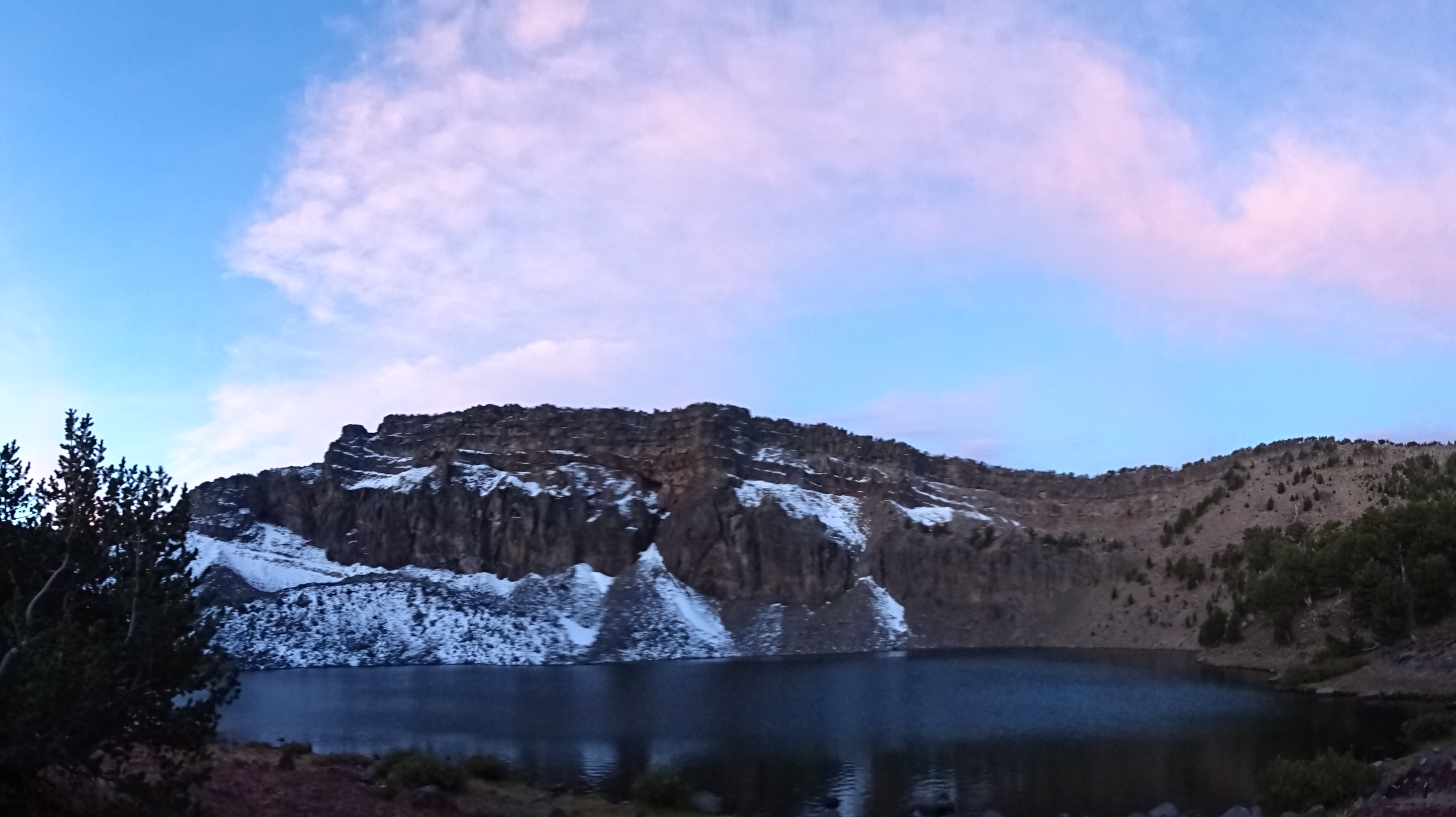
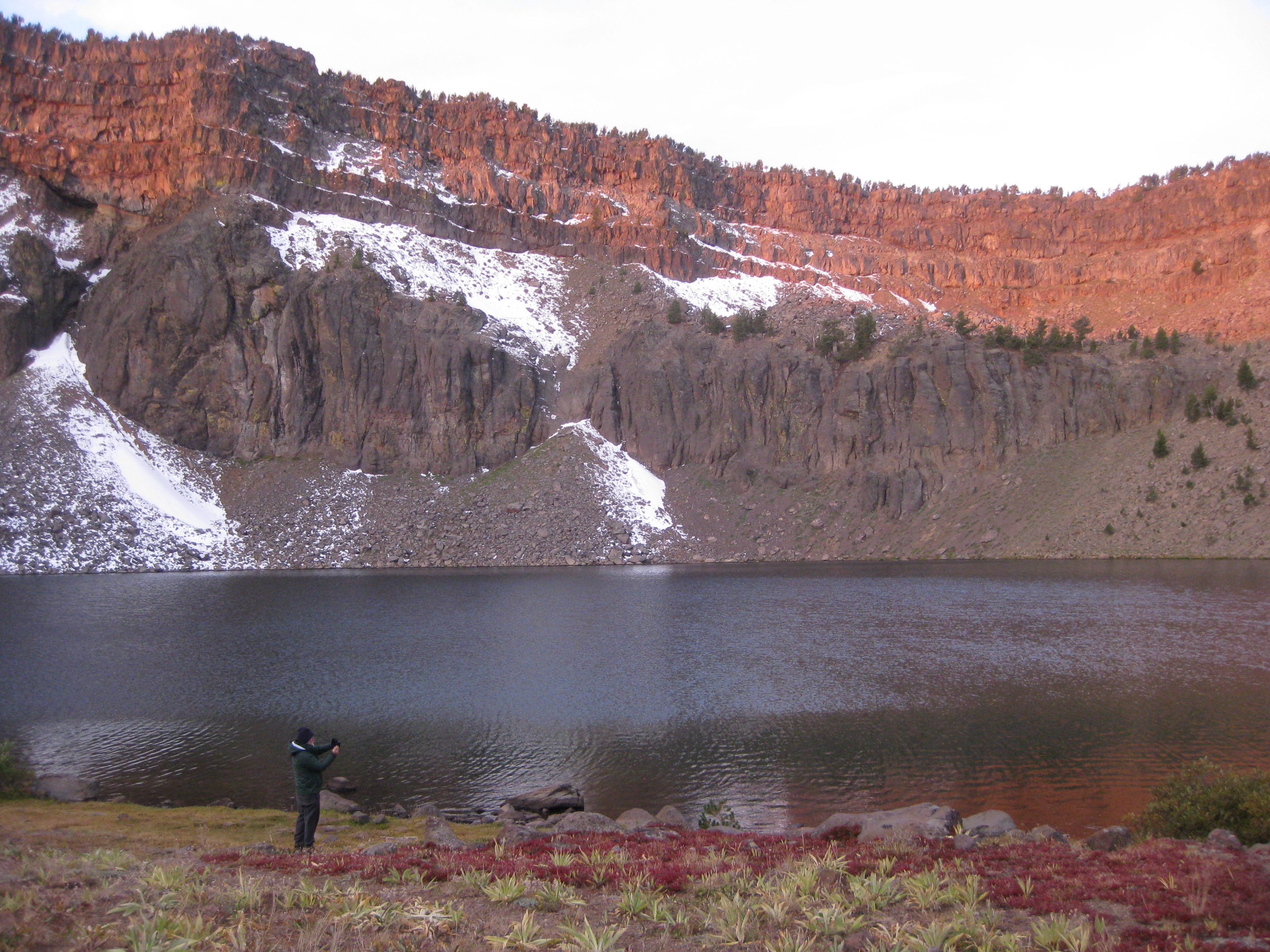
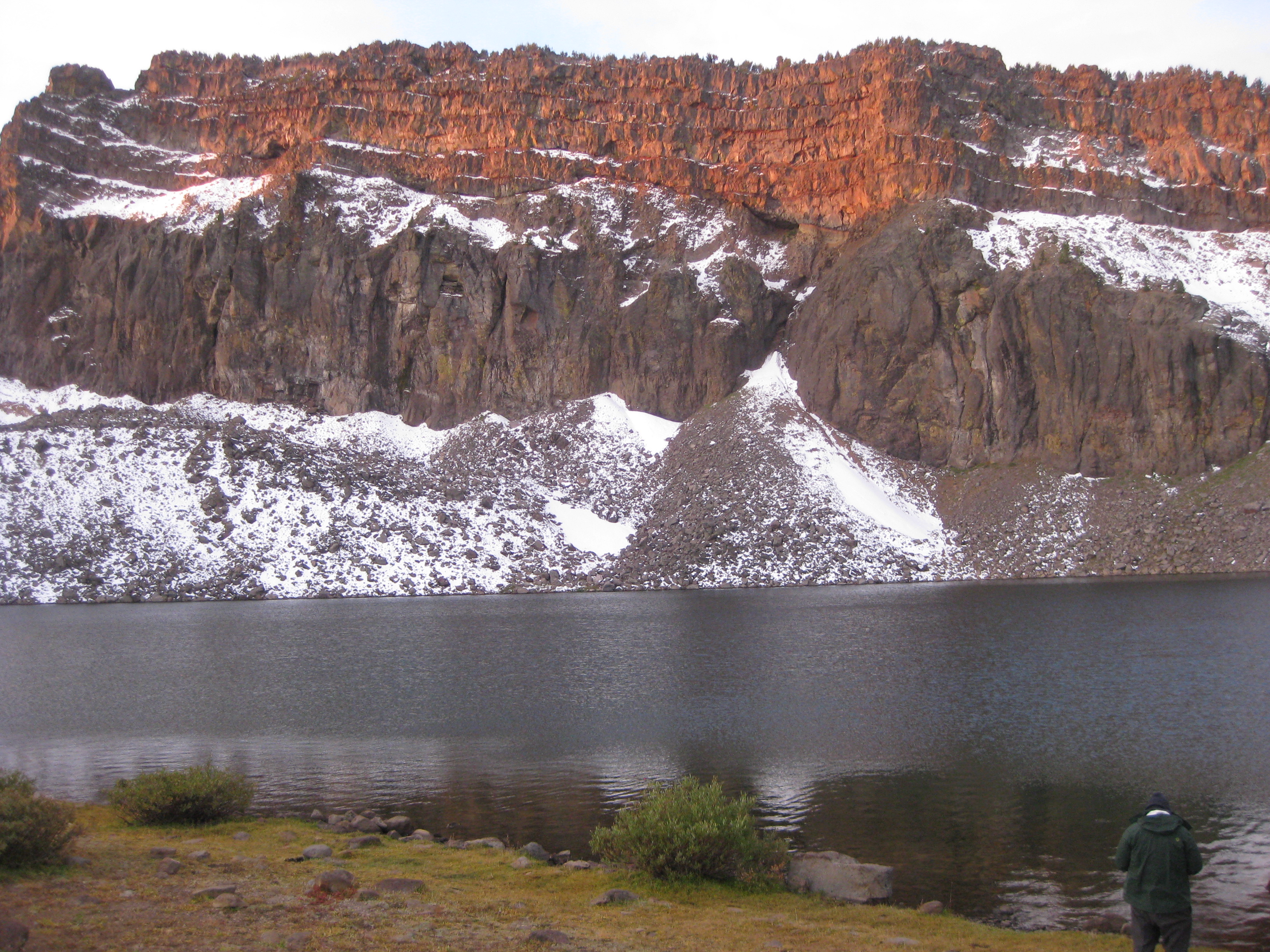
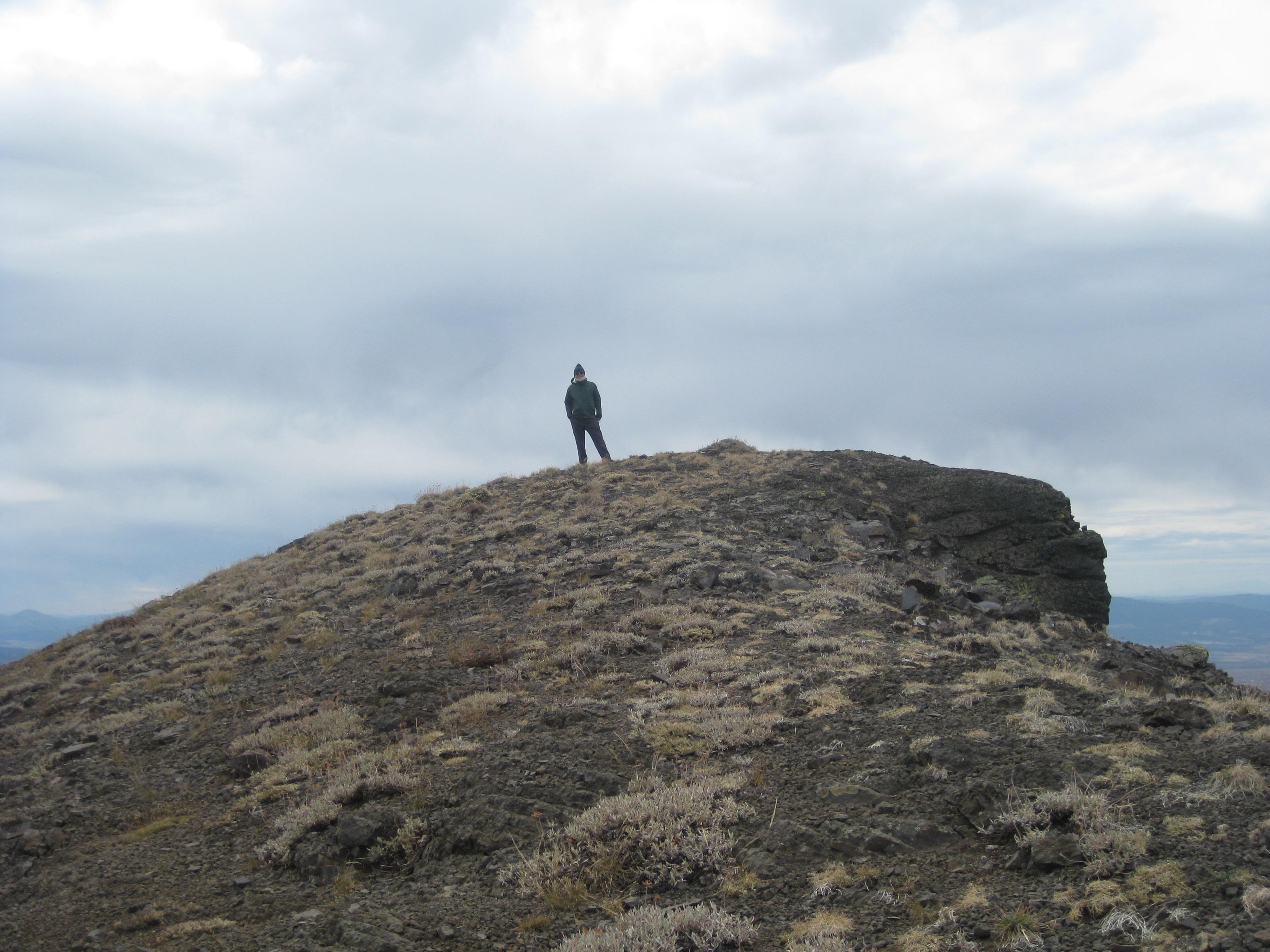
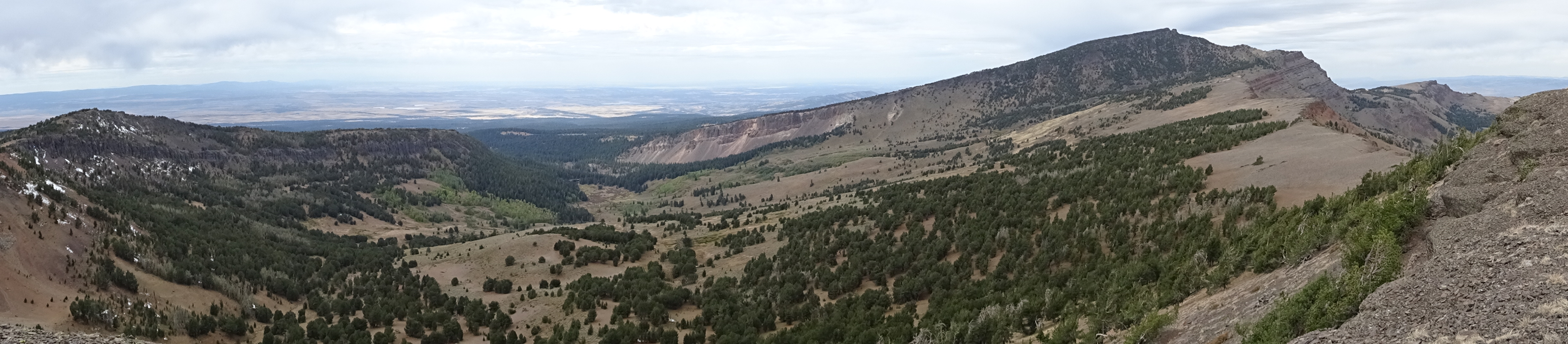
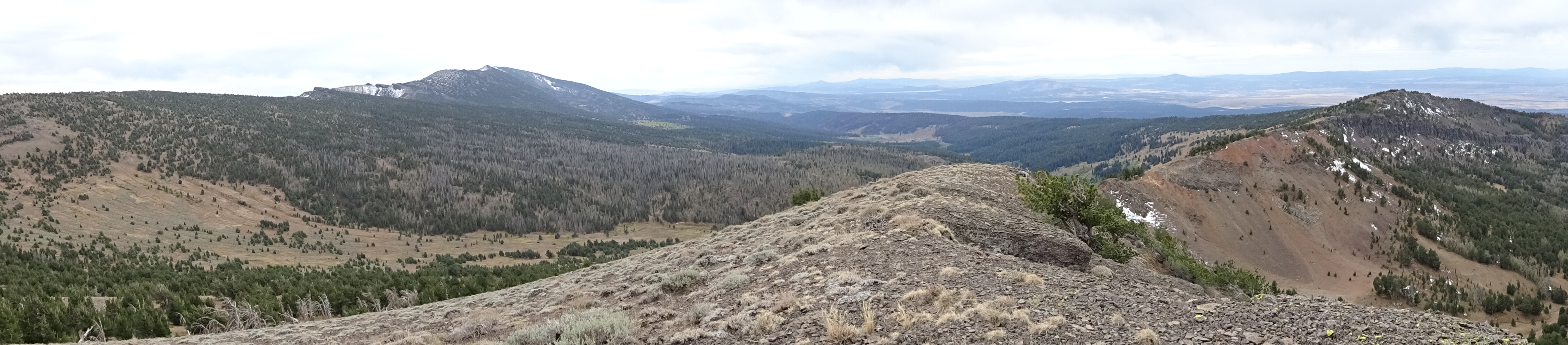
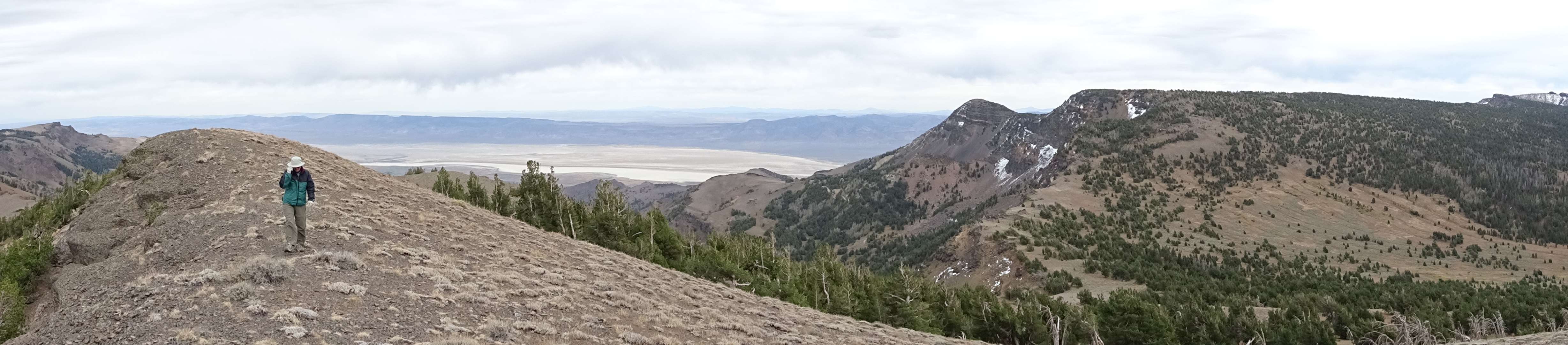
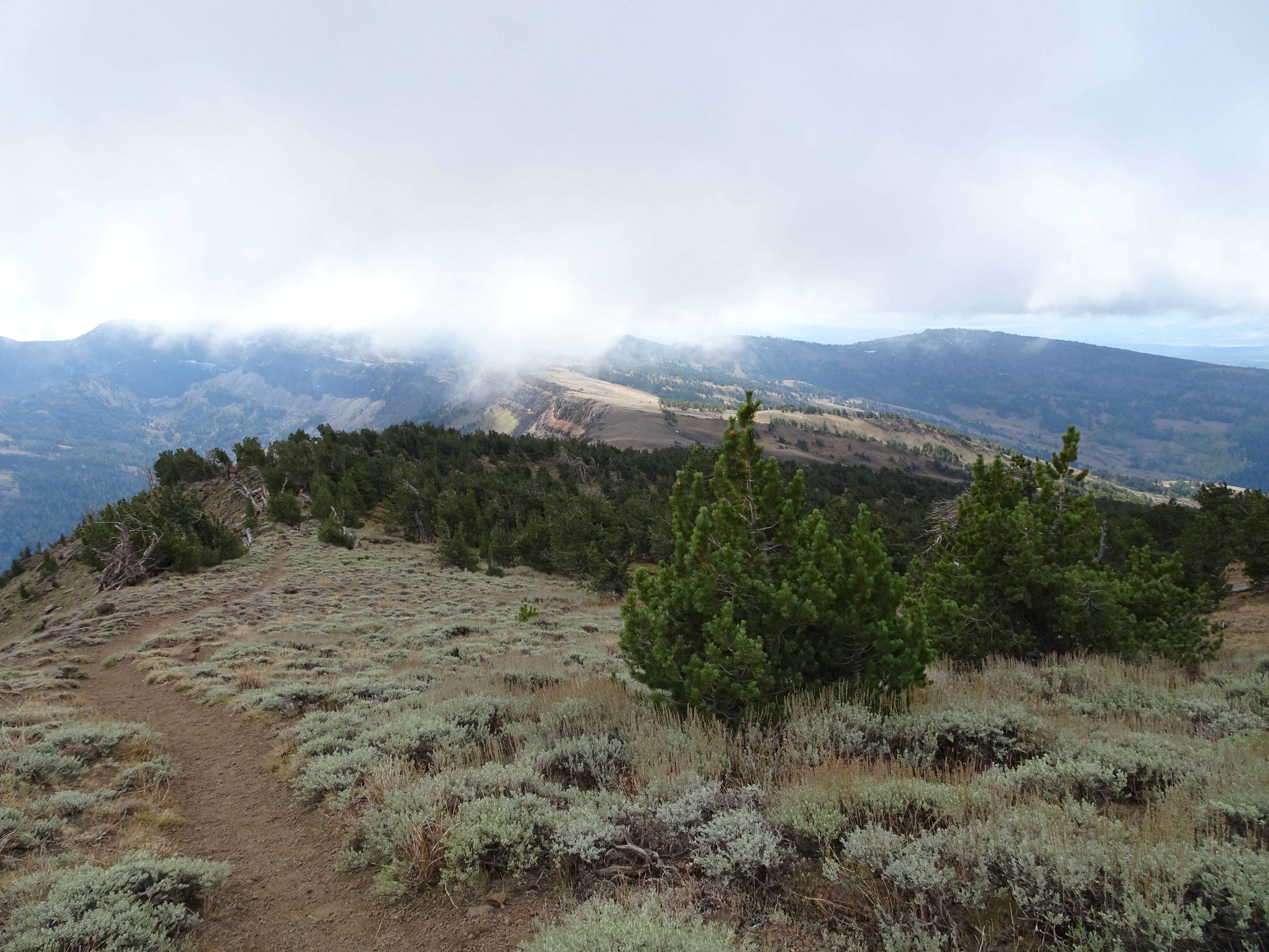
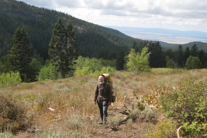
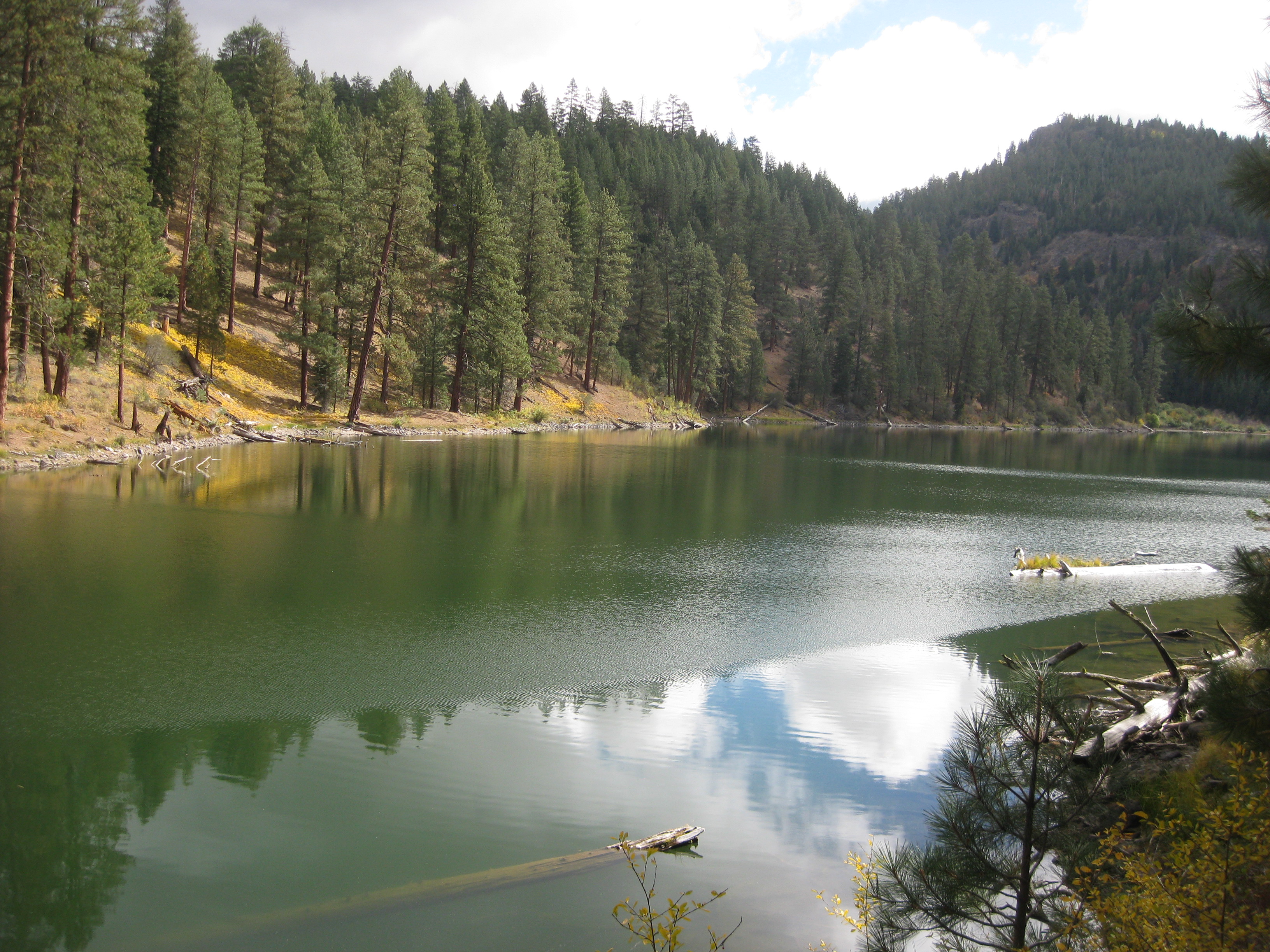
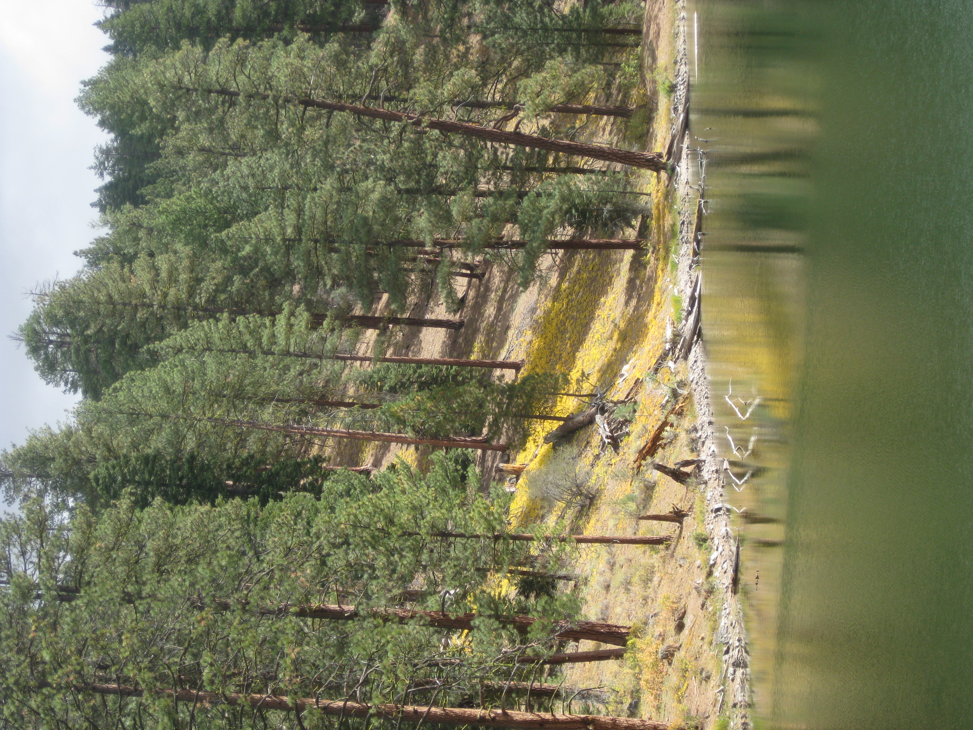
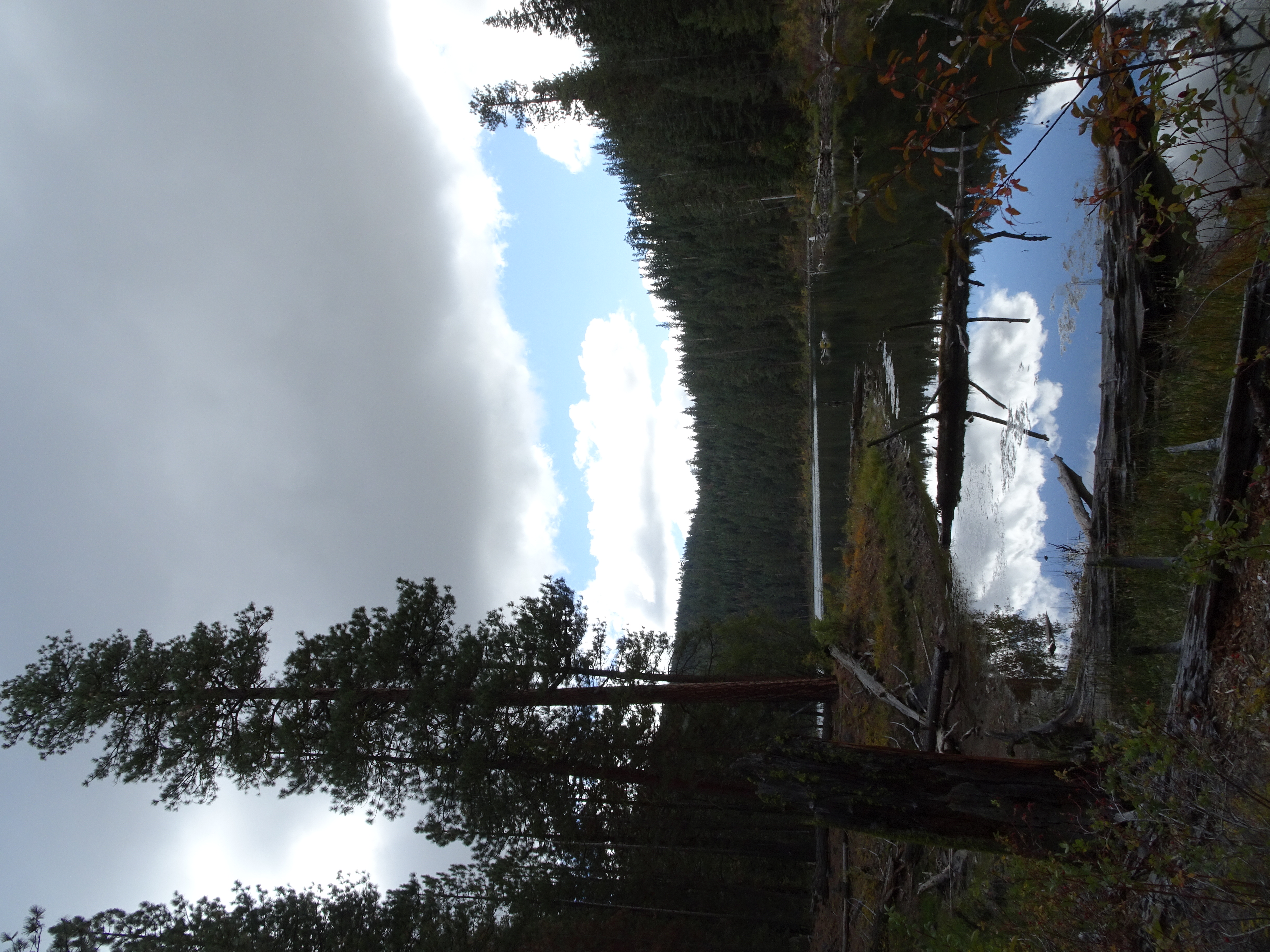
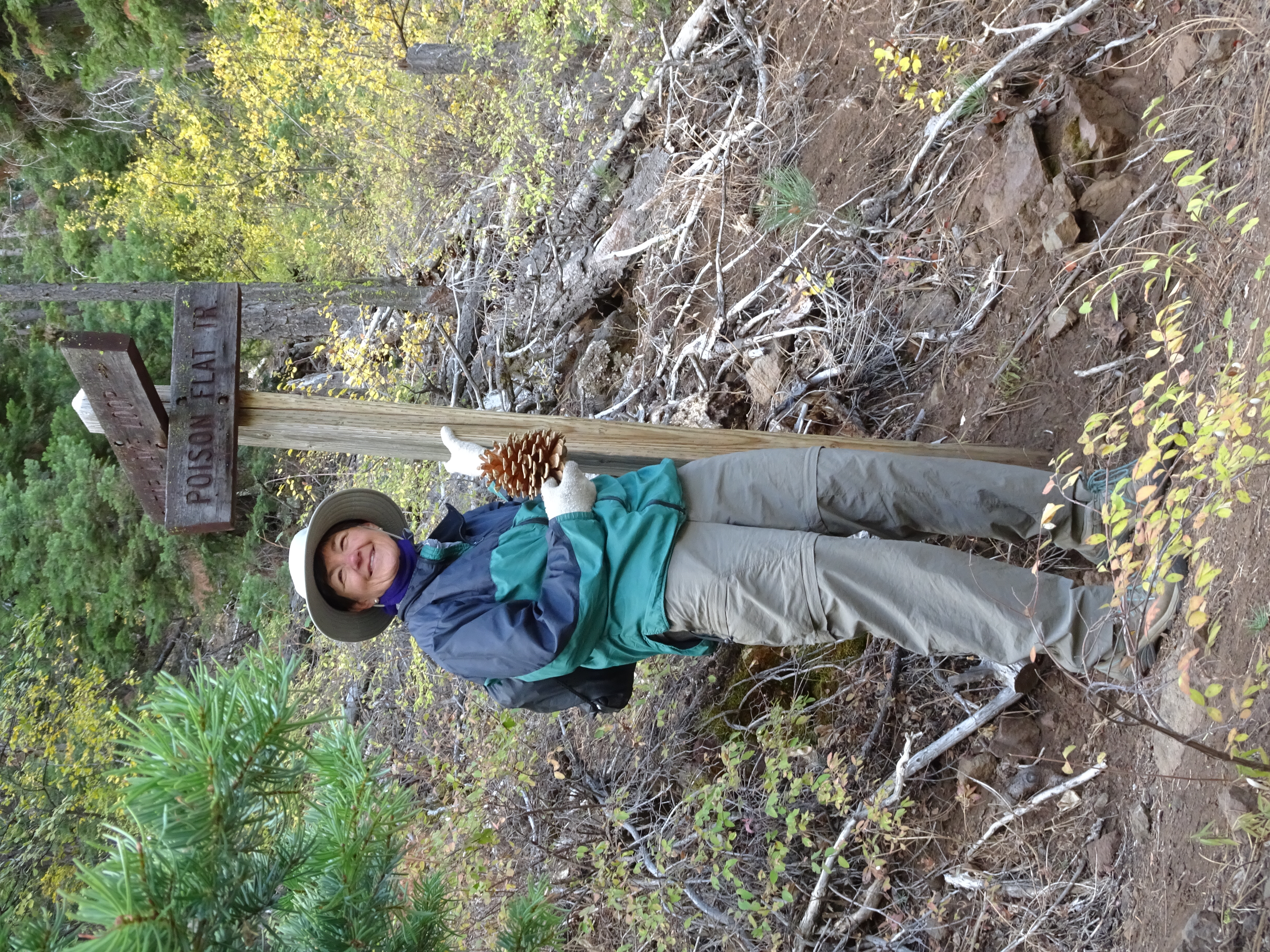
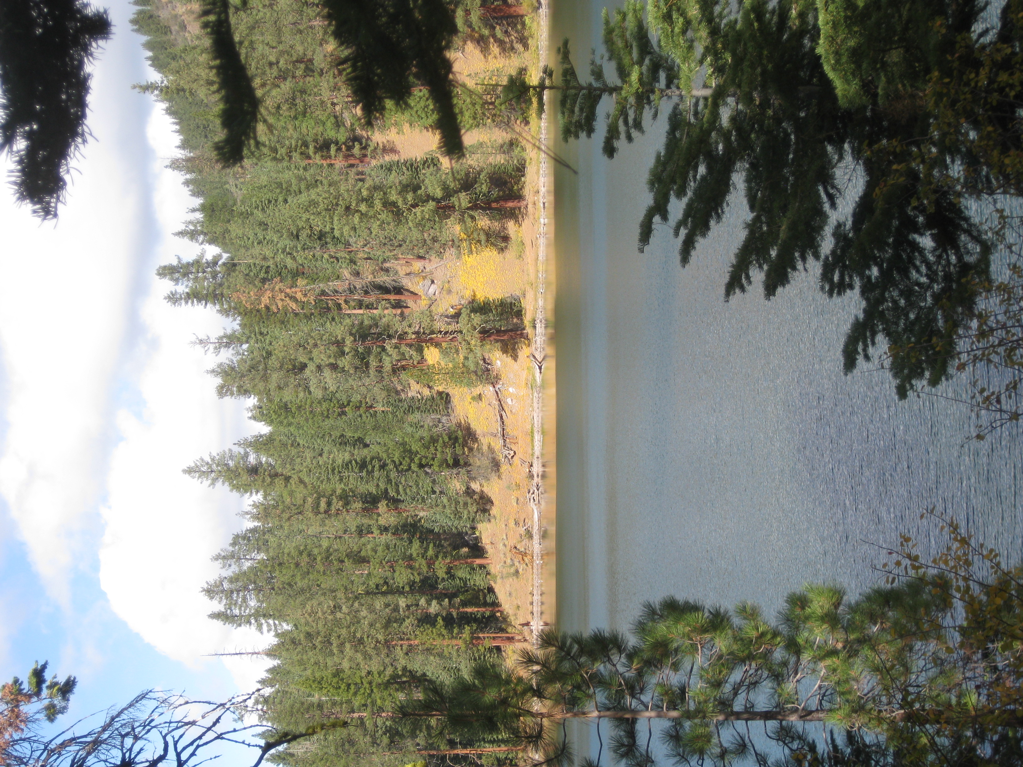
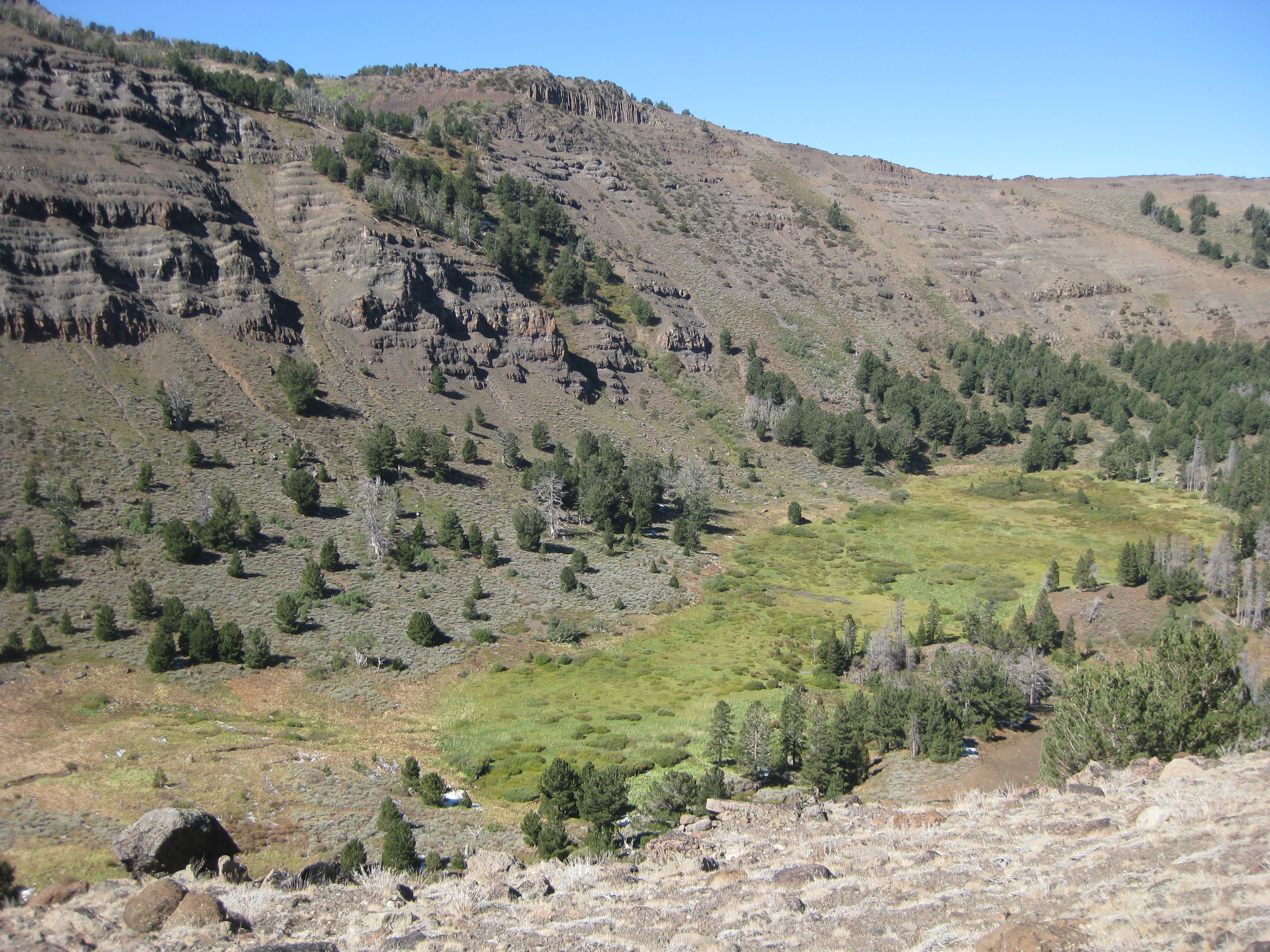
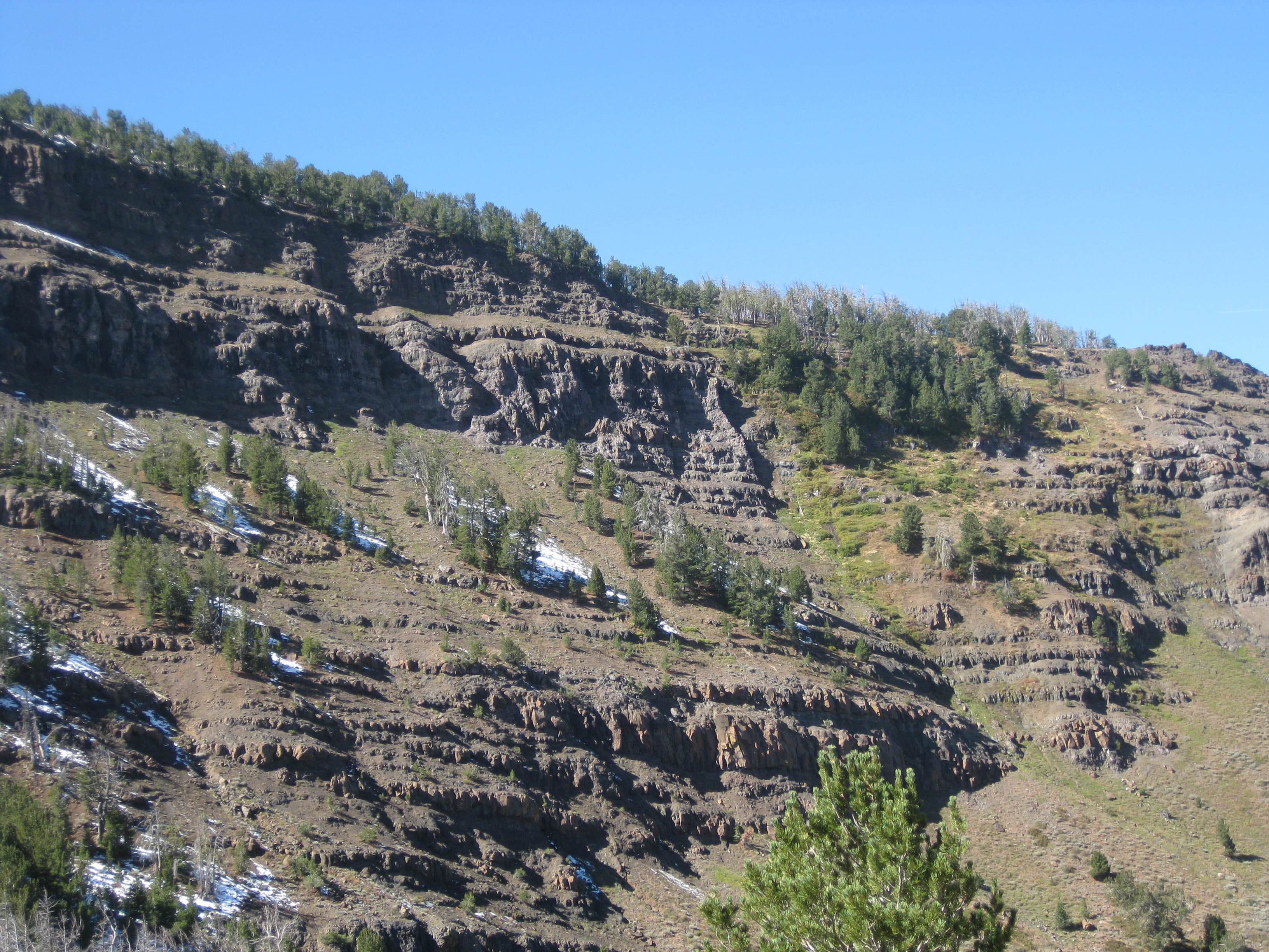
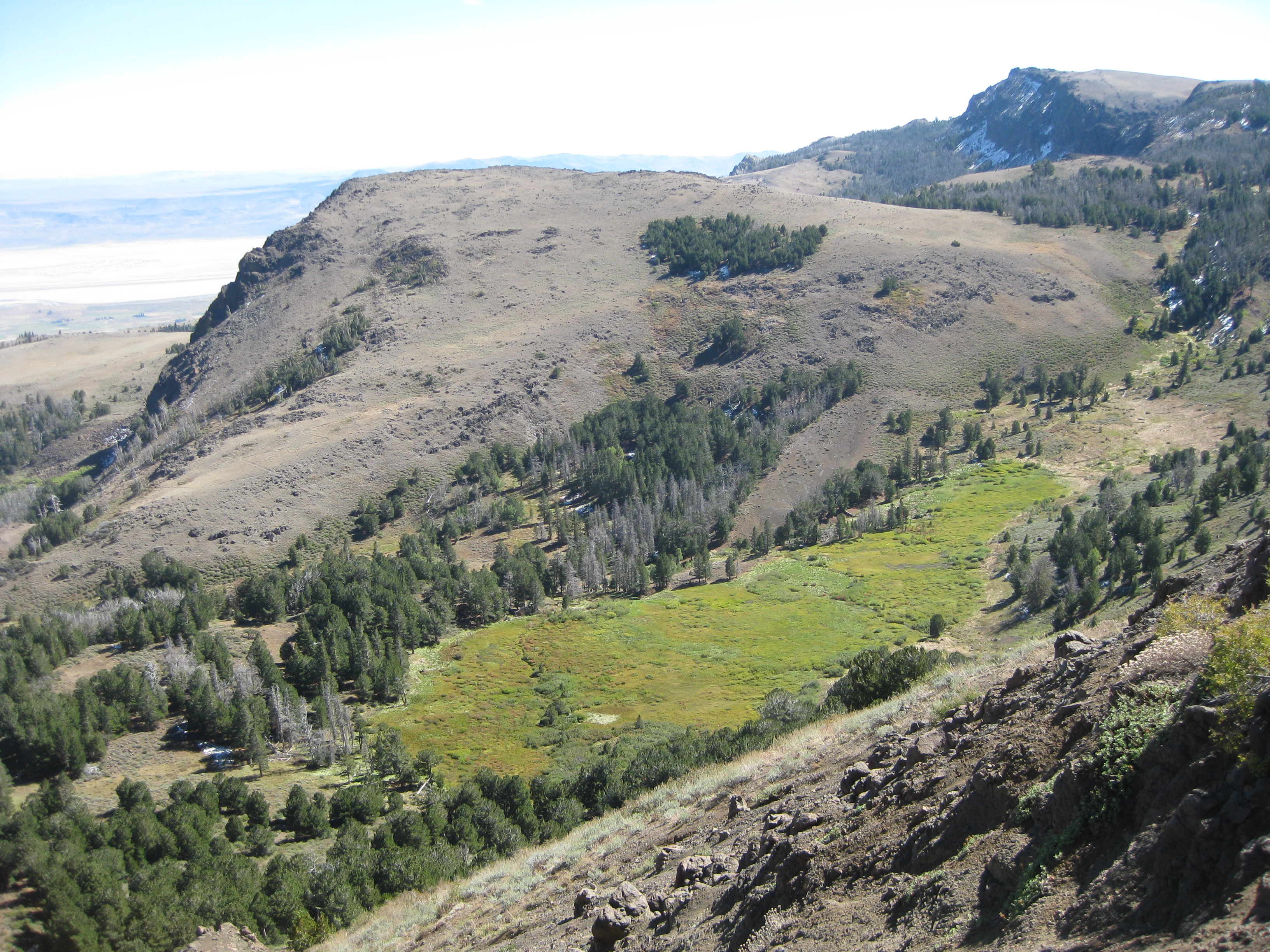
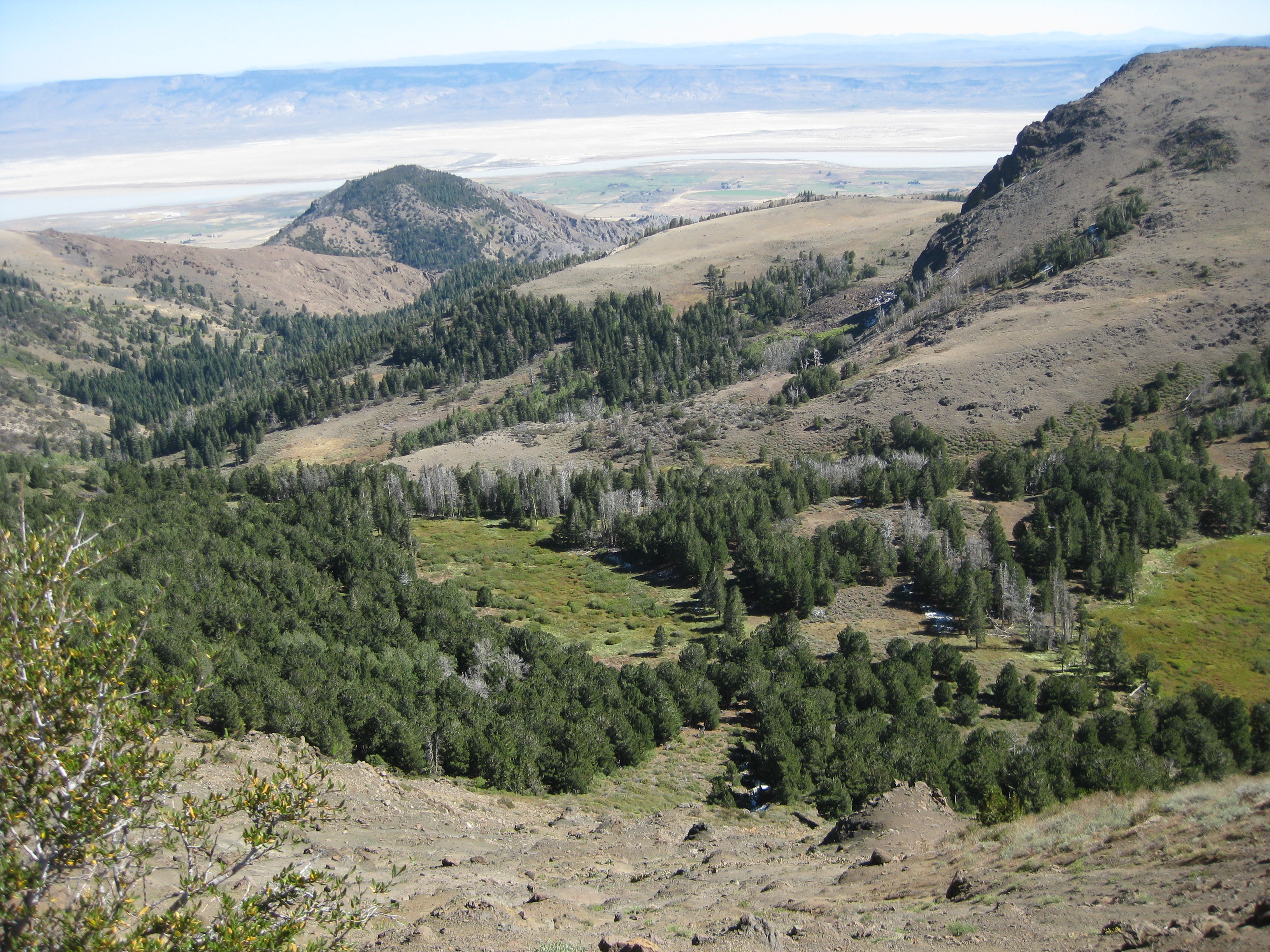
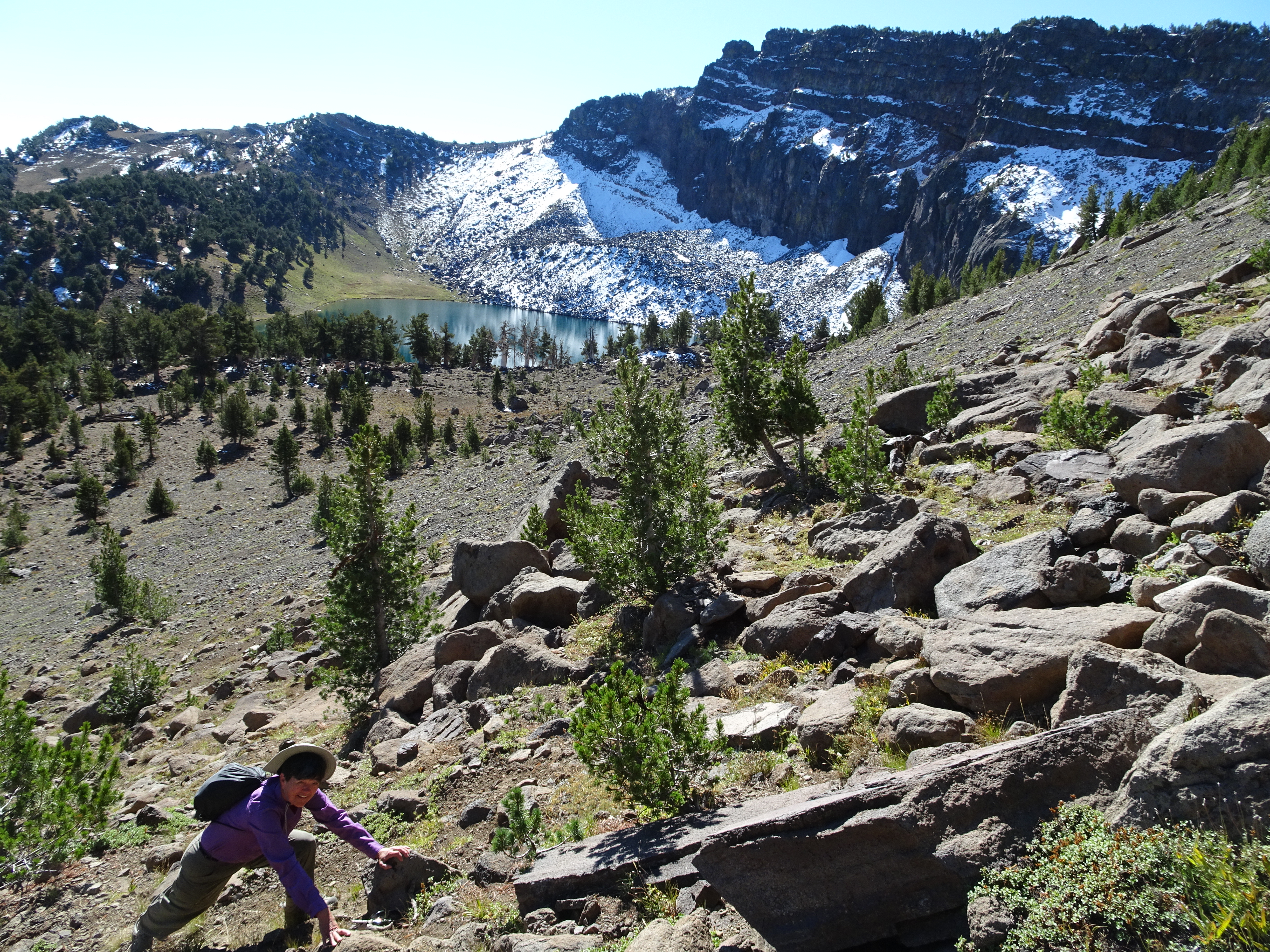
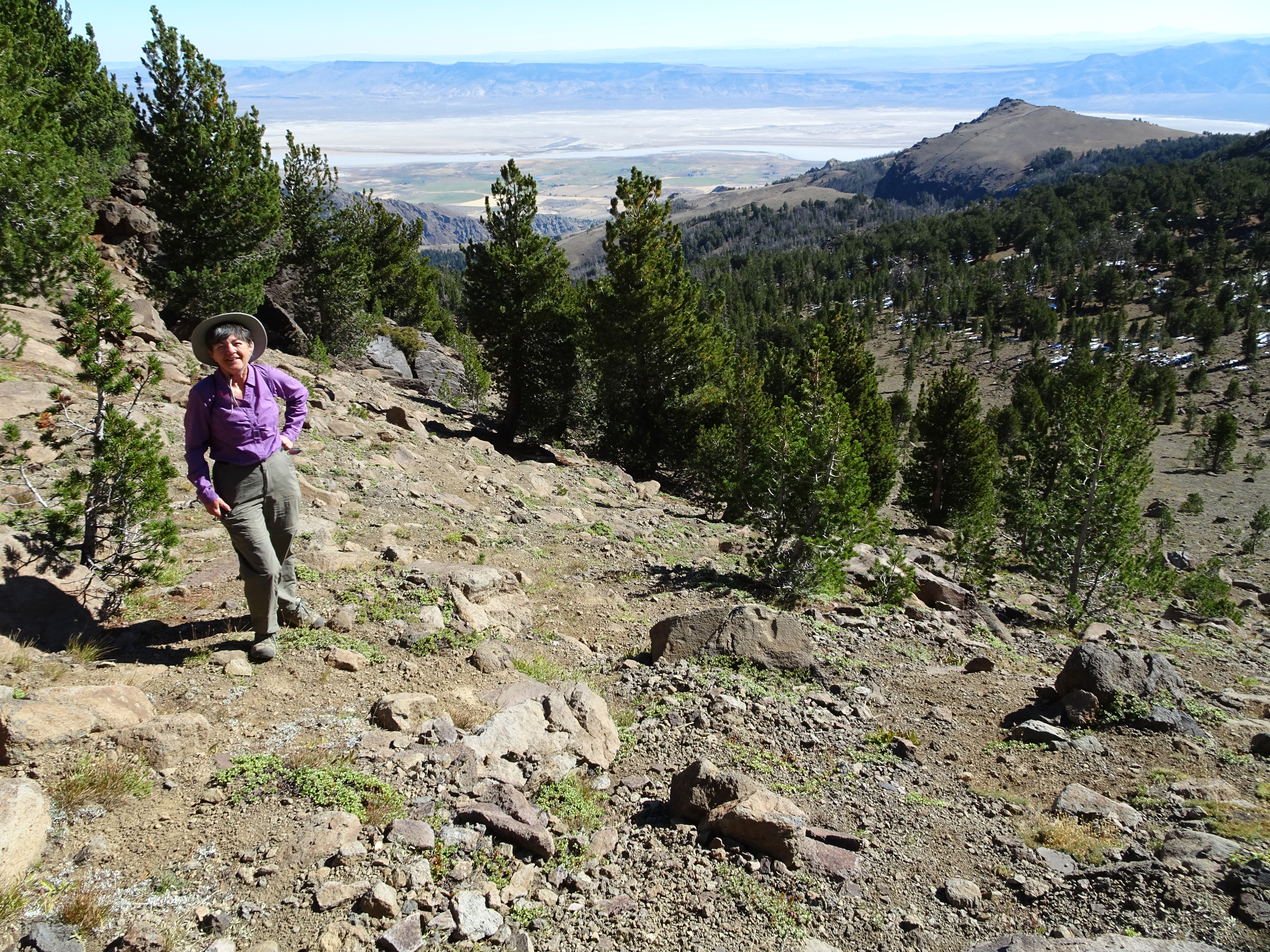
For any of the following Favorite photos, click on the image to bring up the full resolution version. Day by day photos and narrative follow these. The first photo is taken at Patterson Lake with Warren Peak in the background (the high point just to the right of the notch on the far left of the ridge). Next are photos of each of us as we approached the top of Warren Peak. Then there are two more photos of Patterson Lake, followed by a view of some of the nearby wilderness. And after that see Reenie climbing down the rocks just behind Warren Peak.
Video suggestion: All videos shown below are very short and HD (1080p). I find best YouTube settings (for all but the few with Bob, Reenie, or animals) are HD (1080p), slow motion (0.25 or 0.50), and full screen. Actually, watching Bob and Reenie in slo mo can be amusing.
Highlights/Memorable Events
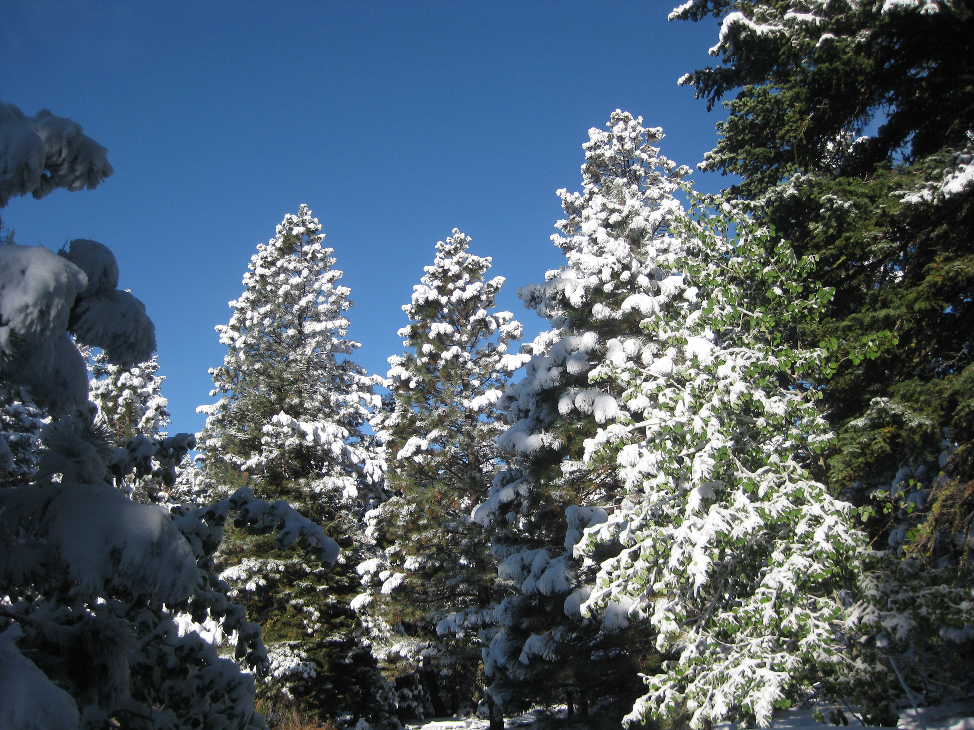
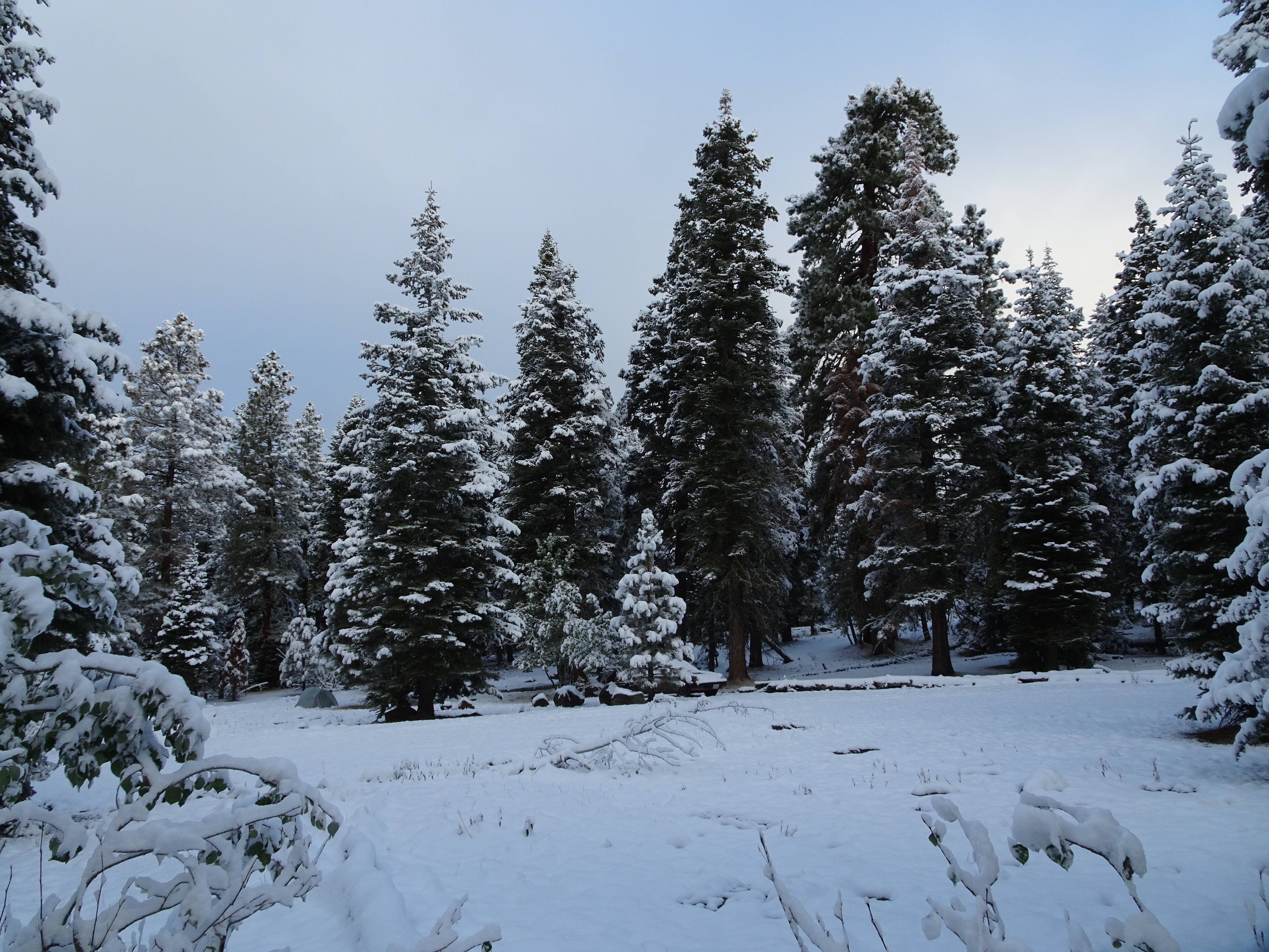
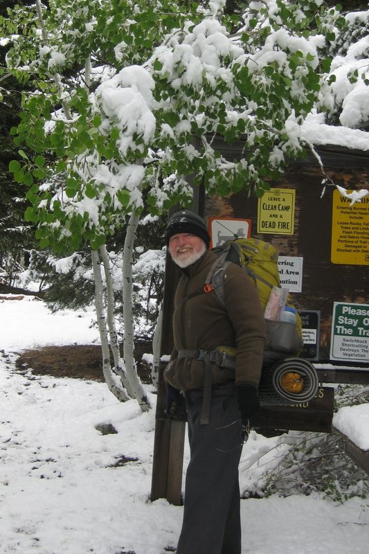
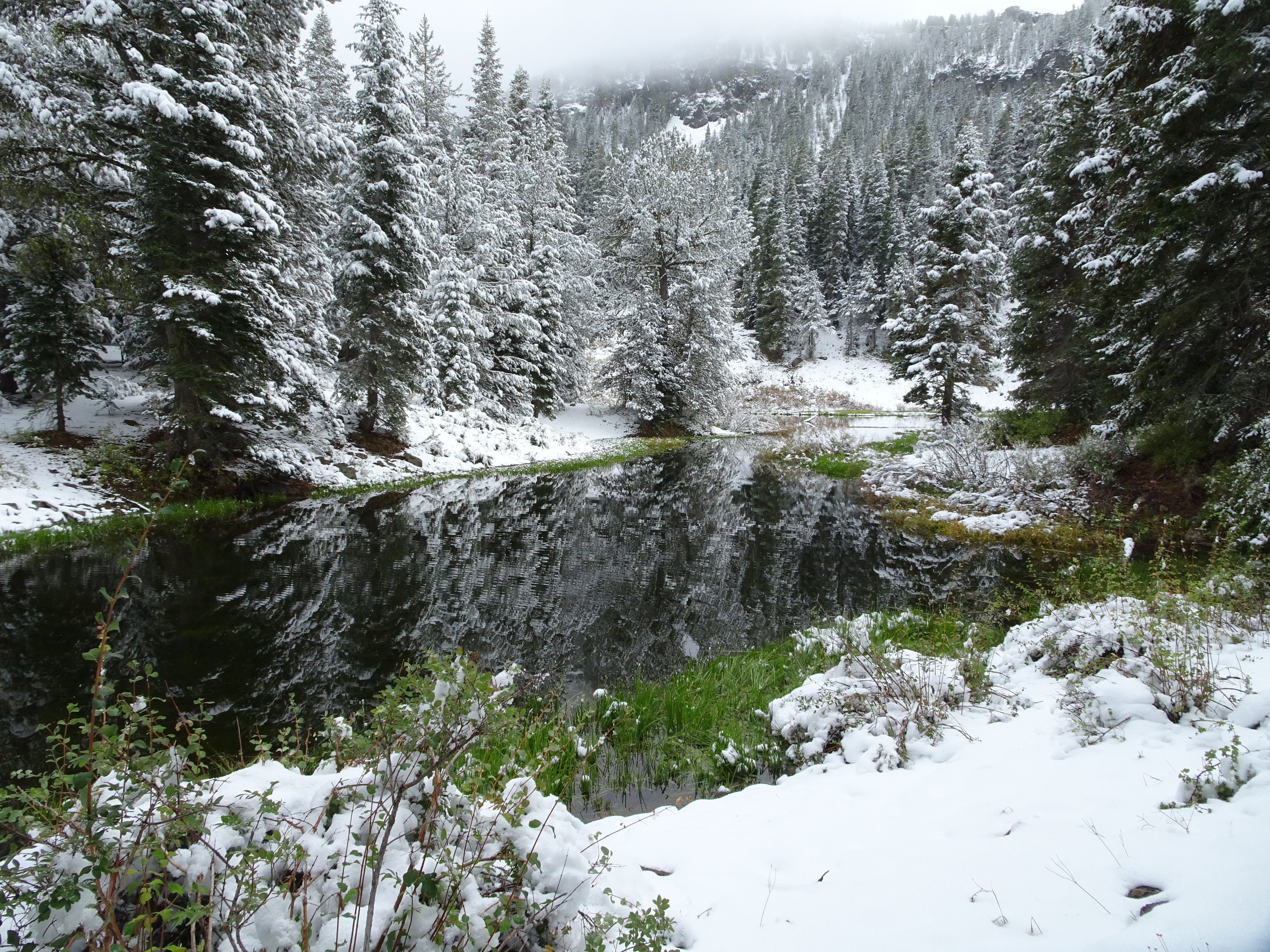
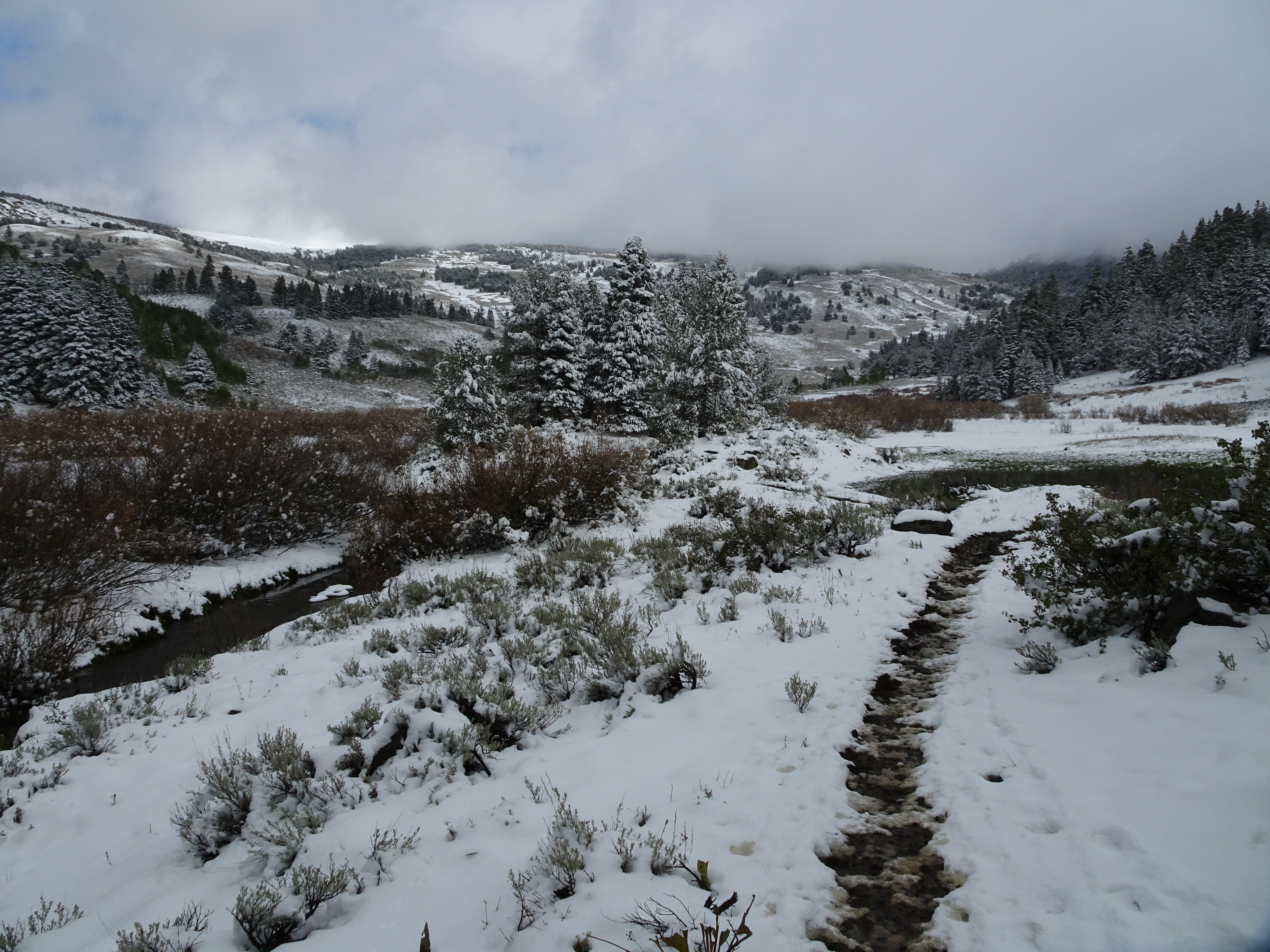
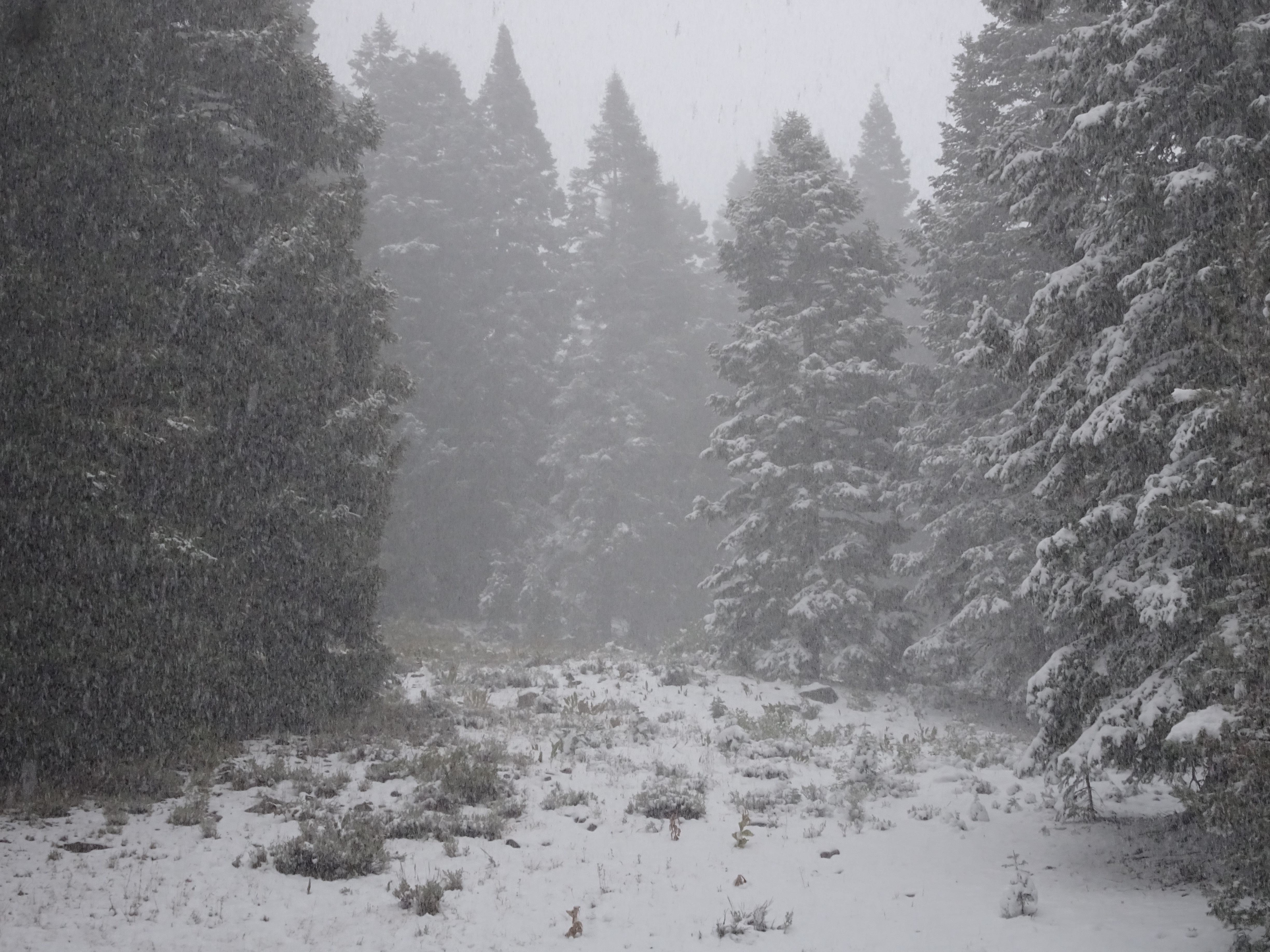
It snowed on us the first night, and not just a "50% chance of a light dusting" as the weather report called for, but instead we awoke to 2 to 3 inches, turning the landscape white and covering the trails.
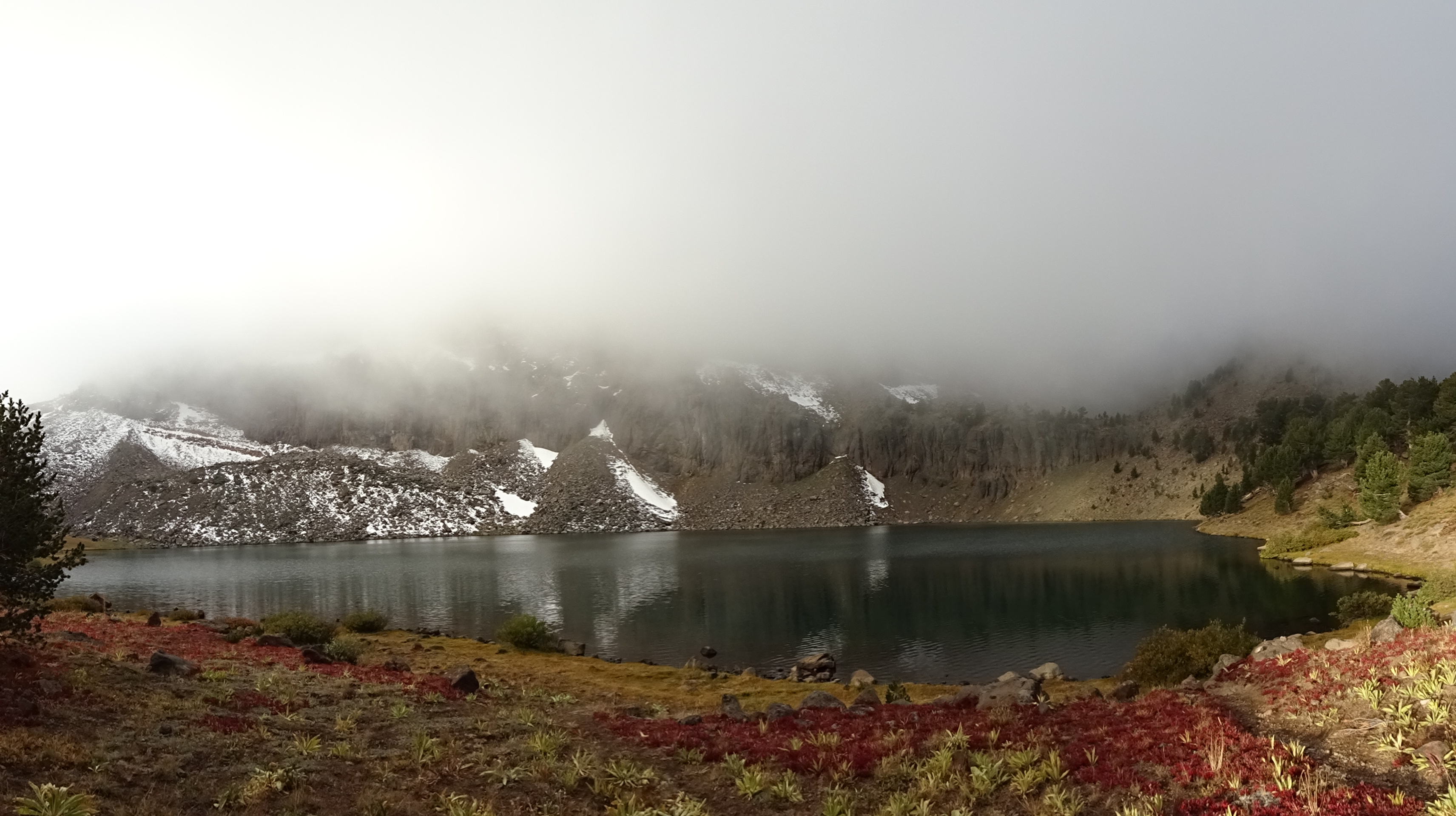
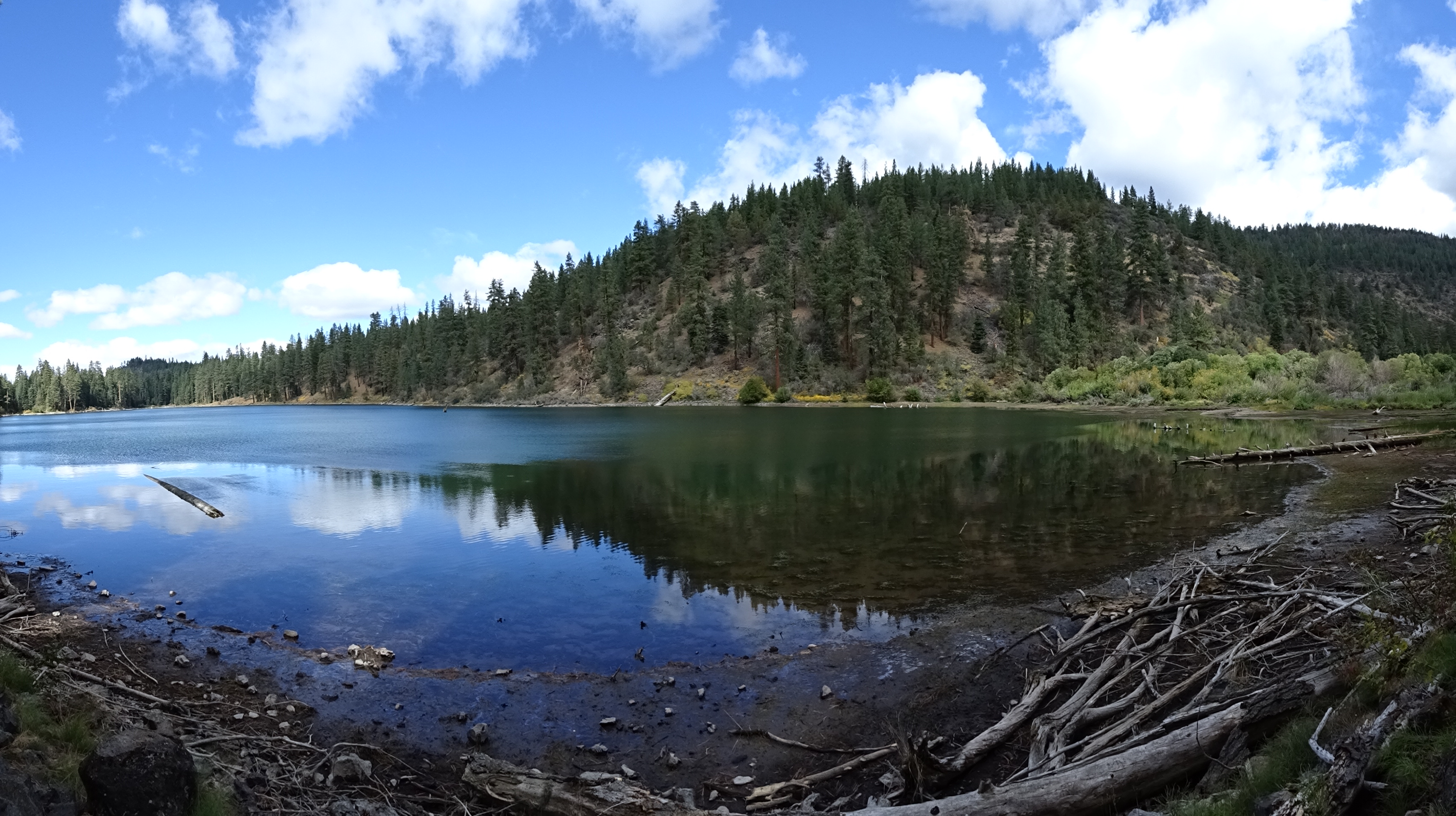
Patterson Lake was beautiful.
We hiked to the top of Warren Peak, then climbed down the rocks on the other side to get back to camp.
We so lucked out: Reenie's sleeping bag/cushion were not designed for the low temperatures we encountered at night. But someone had left their sleeping bag and pad at Patterson Lake, which worked perfectly as an additional blanket and ground insulator and kept Reenie warm.
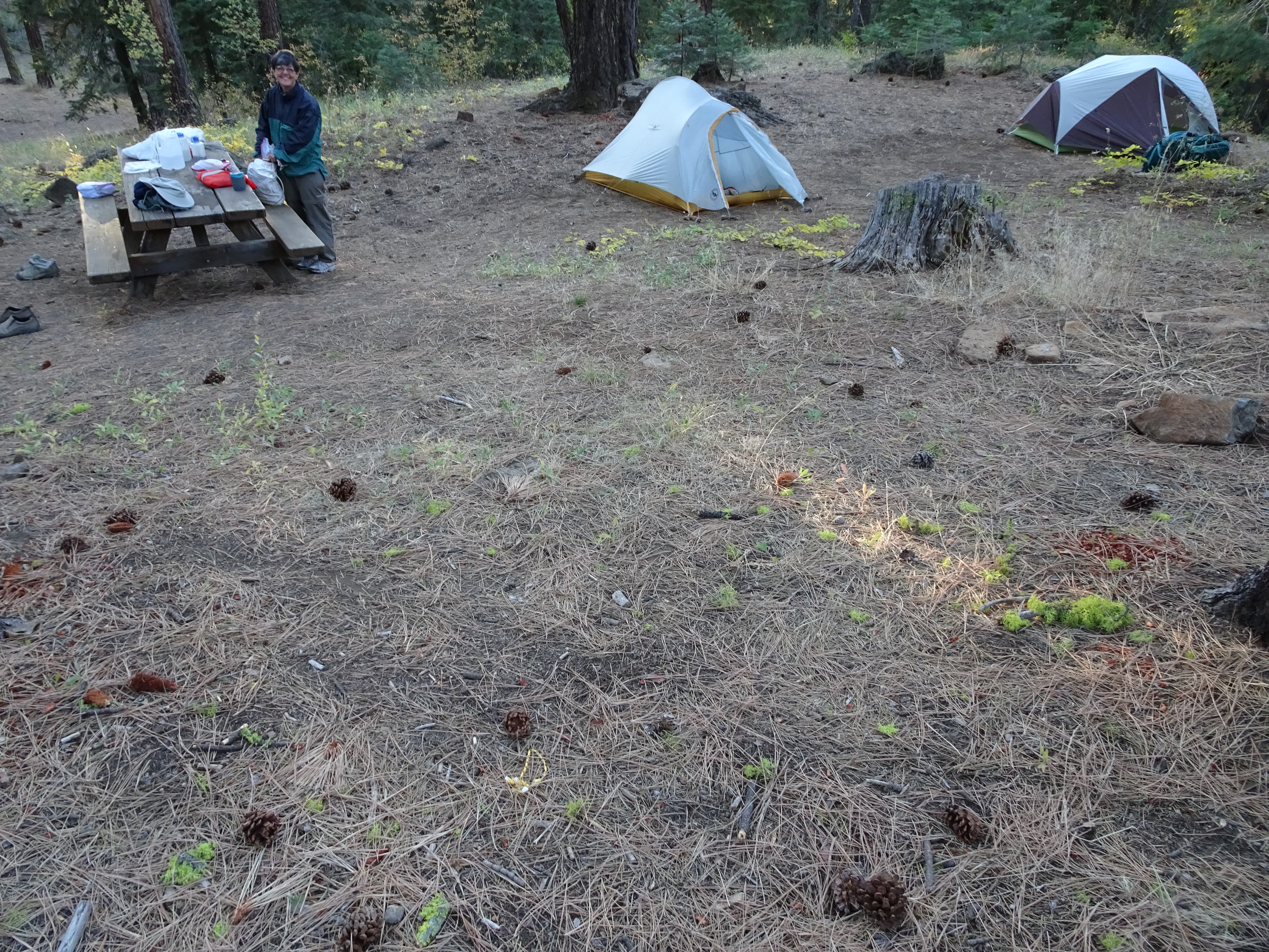
We spent our last two nights at the Mill Creek Campground. We called it the Hilton: drop toilets, running water in a faucet, picnic tables. We felt so civilized!
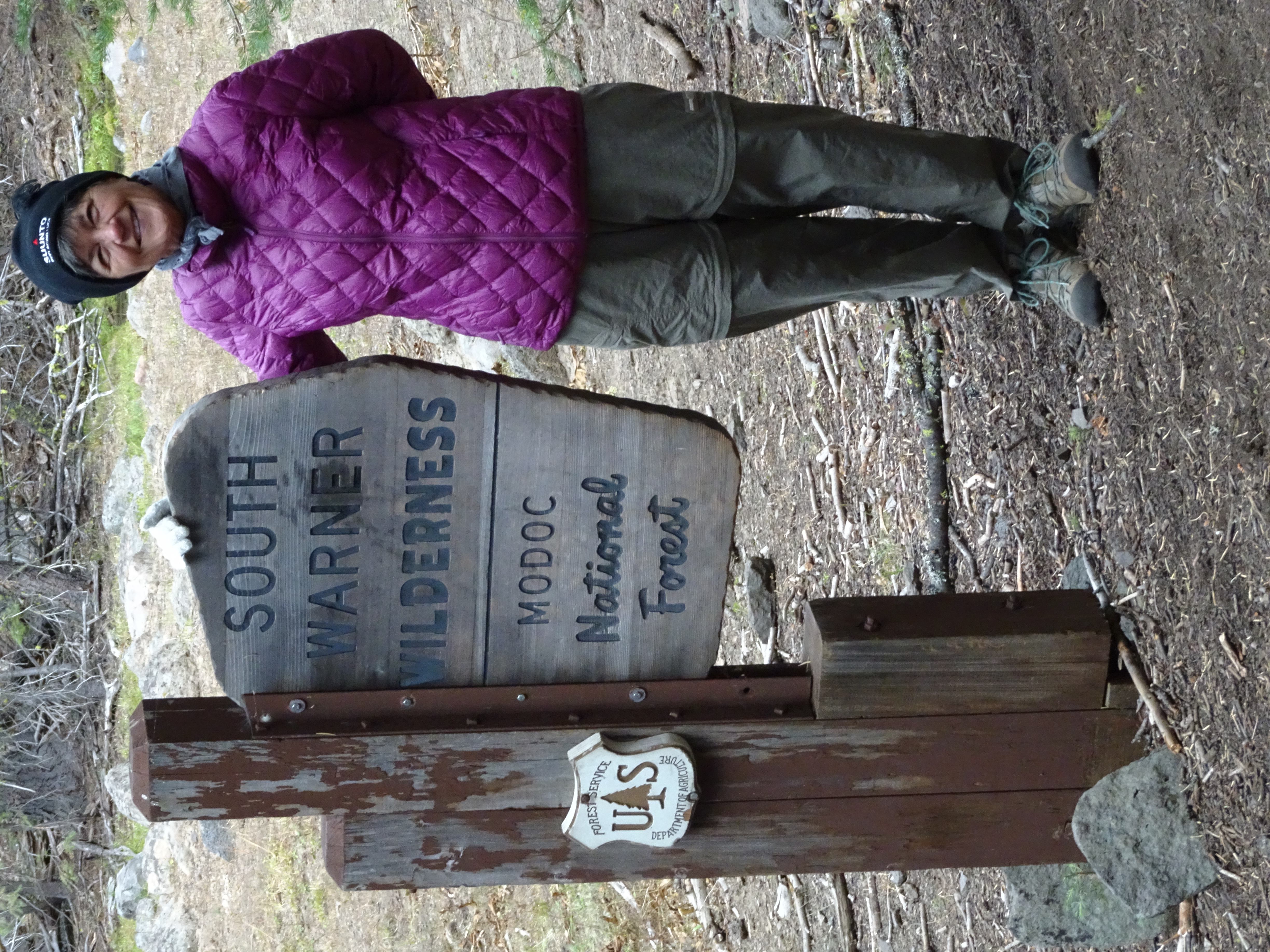
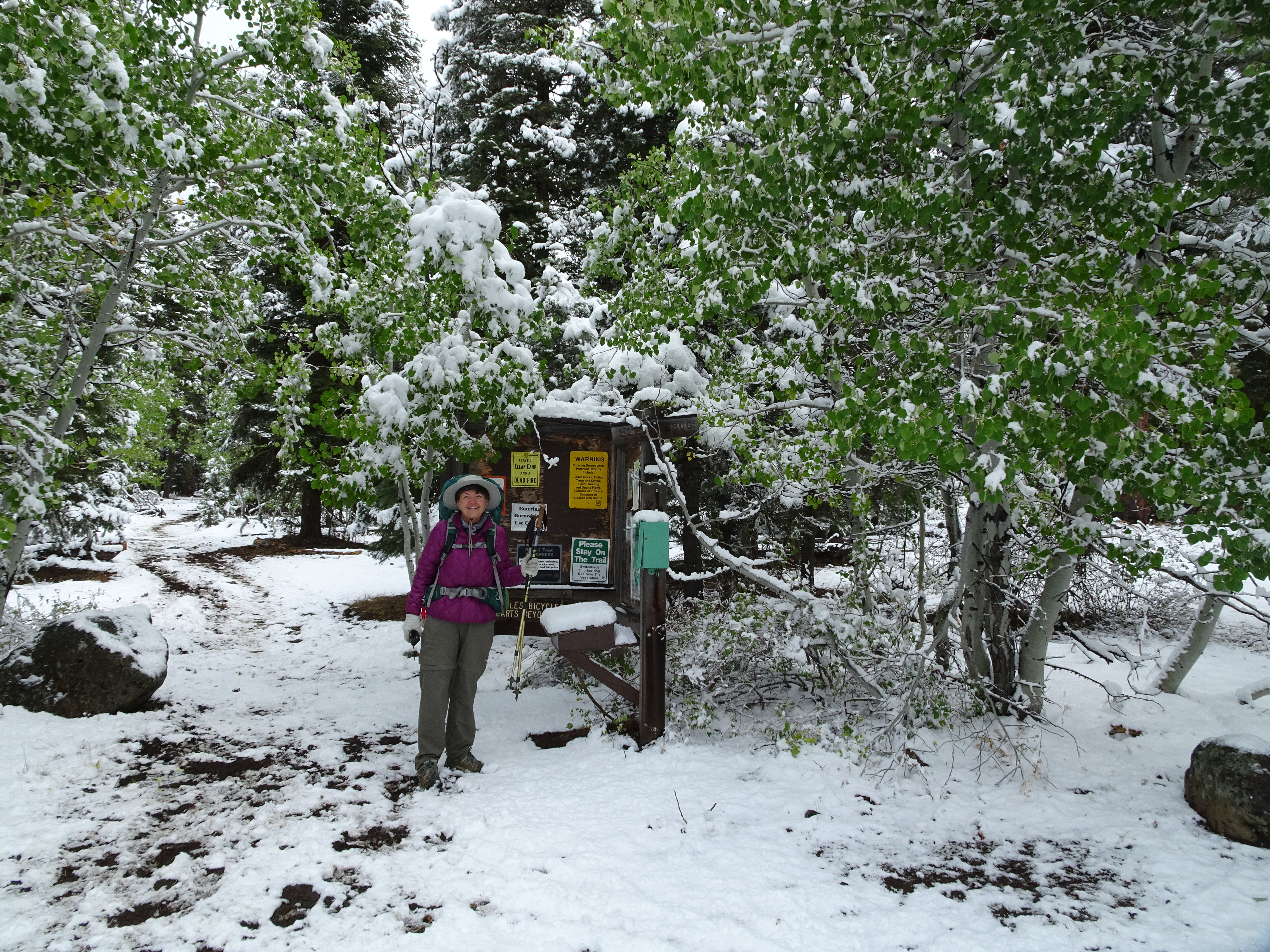
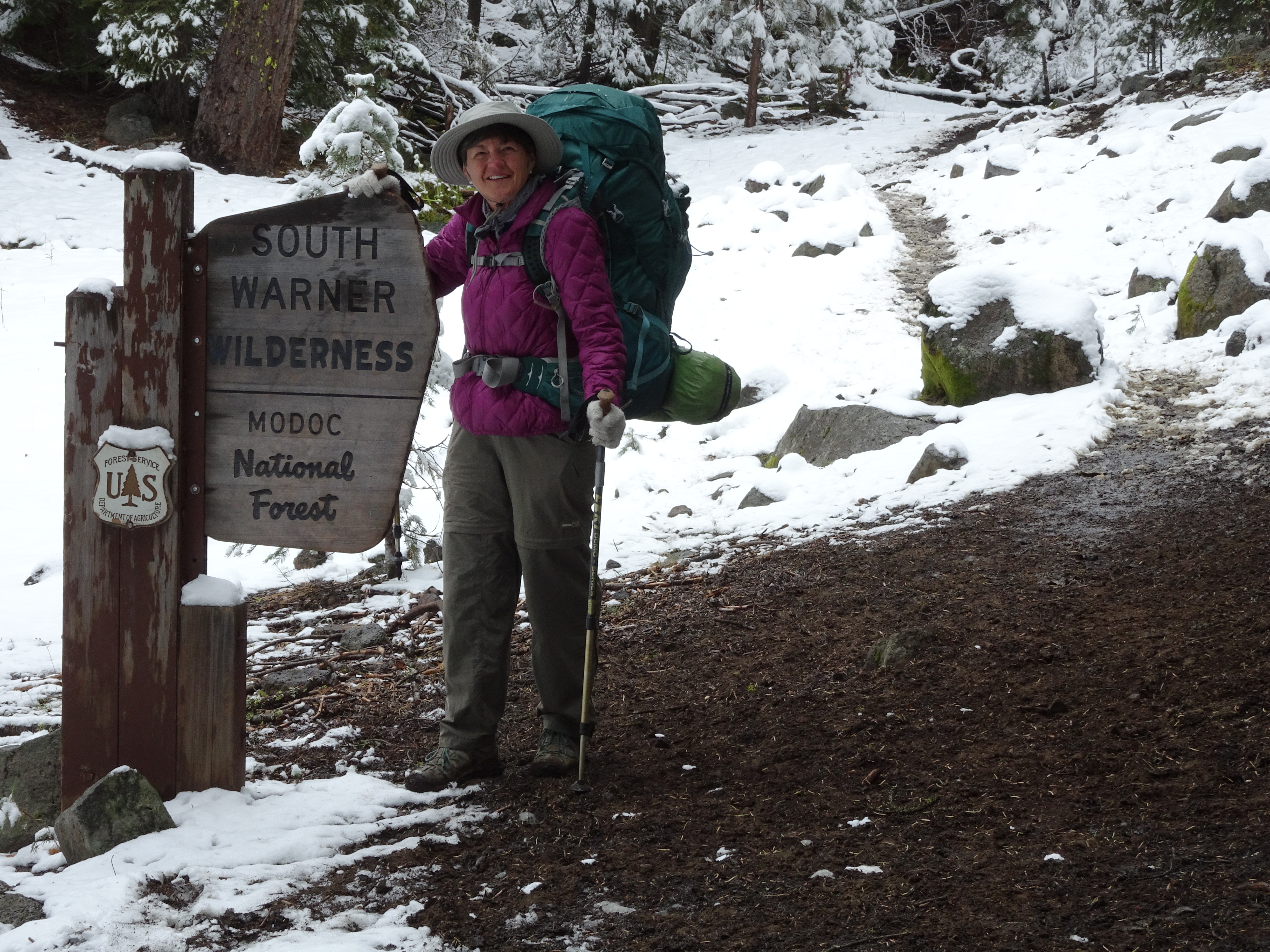
Originally, we had planned to hike in the Trinity Alps Wilderness in early September. Because of the fires we could not go. That is how we learned of the beauty of Warner Wilderness in far NE California.
Day 1, Wednesday, September 20, 2017
Drove to Pine Creek Trailhead in the South Warner Wilderness within the Modoc National Forest in far northeast California. Stopped at a very nice vista point along the way. No backpacking.
Dinner: Subway all-veggie sandwiches.
Diary:
Bob picked up Reenie at 6:30 AM.
Beautiful drive through Napa Valley, Lake County, and on up to Alturas Ranger Station where Reenie bought map from new friend Amy with whom she had spoken on phone. Had false stop at Bureau of Land Management.
Got gas & Subways for dinner (Reenie had prepared really good lunch sandwiches)
Before Alturas had made 2 "Vista" stops. One at falls in the far distance. One commemerating fire fighters which had no vista at all.
Drive to Pine Creek Trailhead was good, last 12 miles on wide gravel road.
(Got "lost" leaving Alturas but then found our way).
Saw only 1 car leaving Wilderness, no other people at all. No one at Trailhead. Lots of campsites.
Set up tents because of threatening weather.
Walked up trail a bit, then back to car just as hail started.
Sat in car and ate Subway sandwiches.
At break in hail/snow, got in tents.
Overnight a couple of inches of snow.
Day 2, Thursday, September 21
Backpacked ~3 Miles from Pine Creek Trailhead to Pine Creek Basin. (Net gain ~645'; total uphill 724')
Elevation Profile (understates distance):
Dinner: Reenie's curry vegetable with chicken over rice. Very good
Diary:
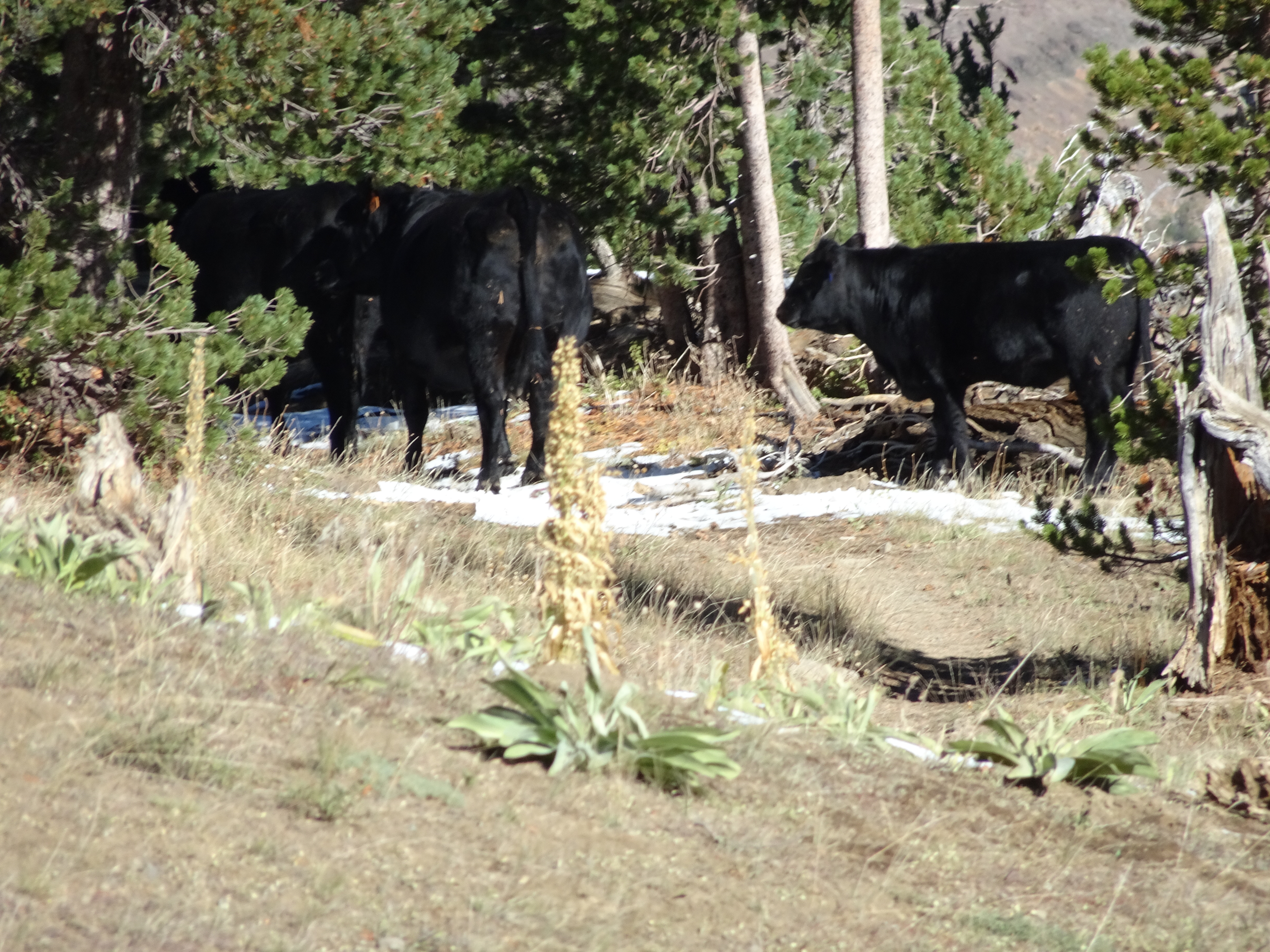
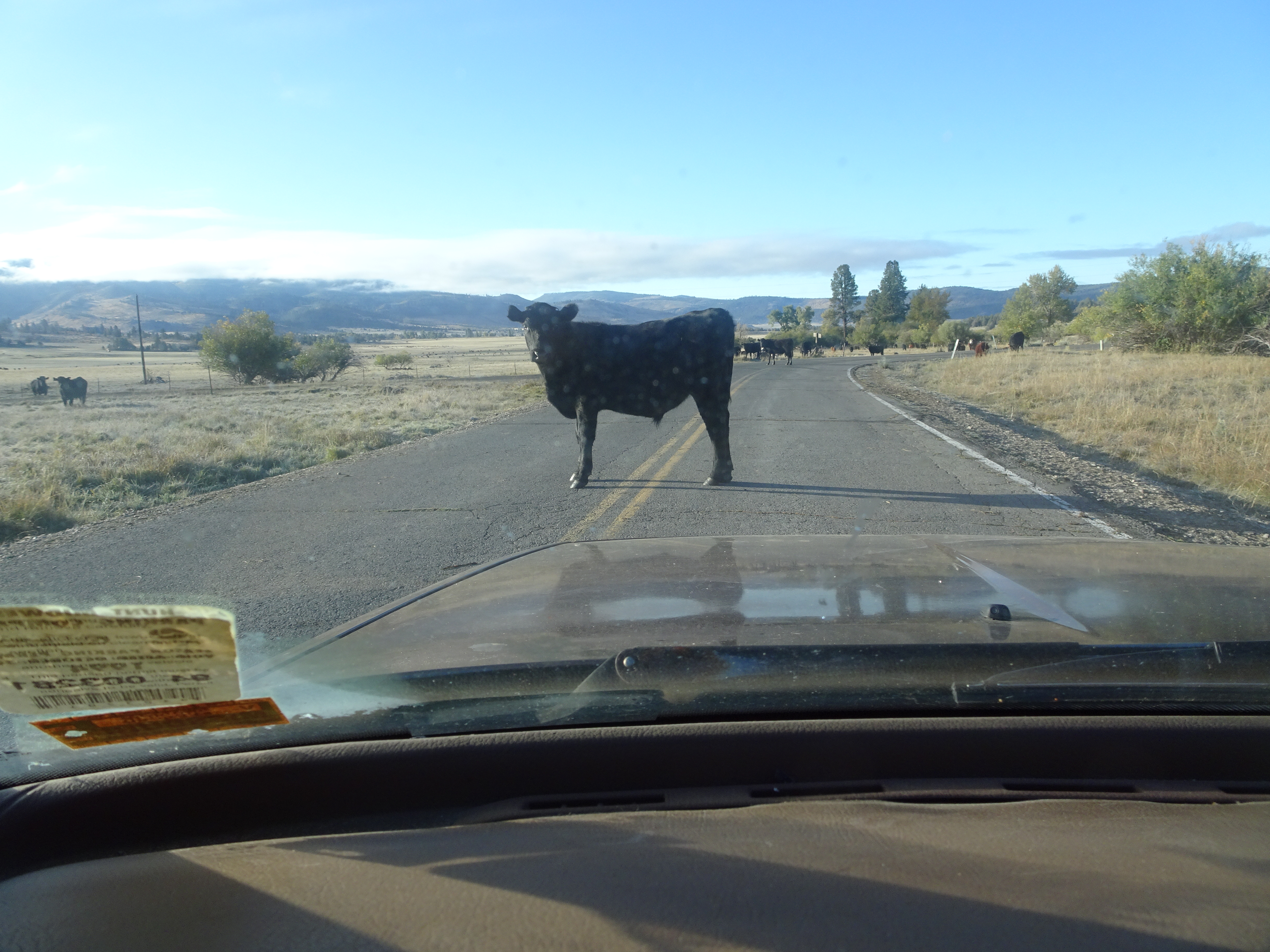
In morning awoken by "moos." Bob got out, no cows, but fresh cow dung on road. Later, more cows came running down road - 14.
Very cold morning.
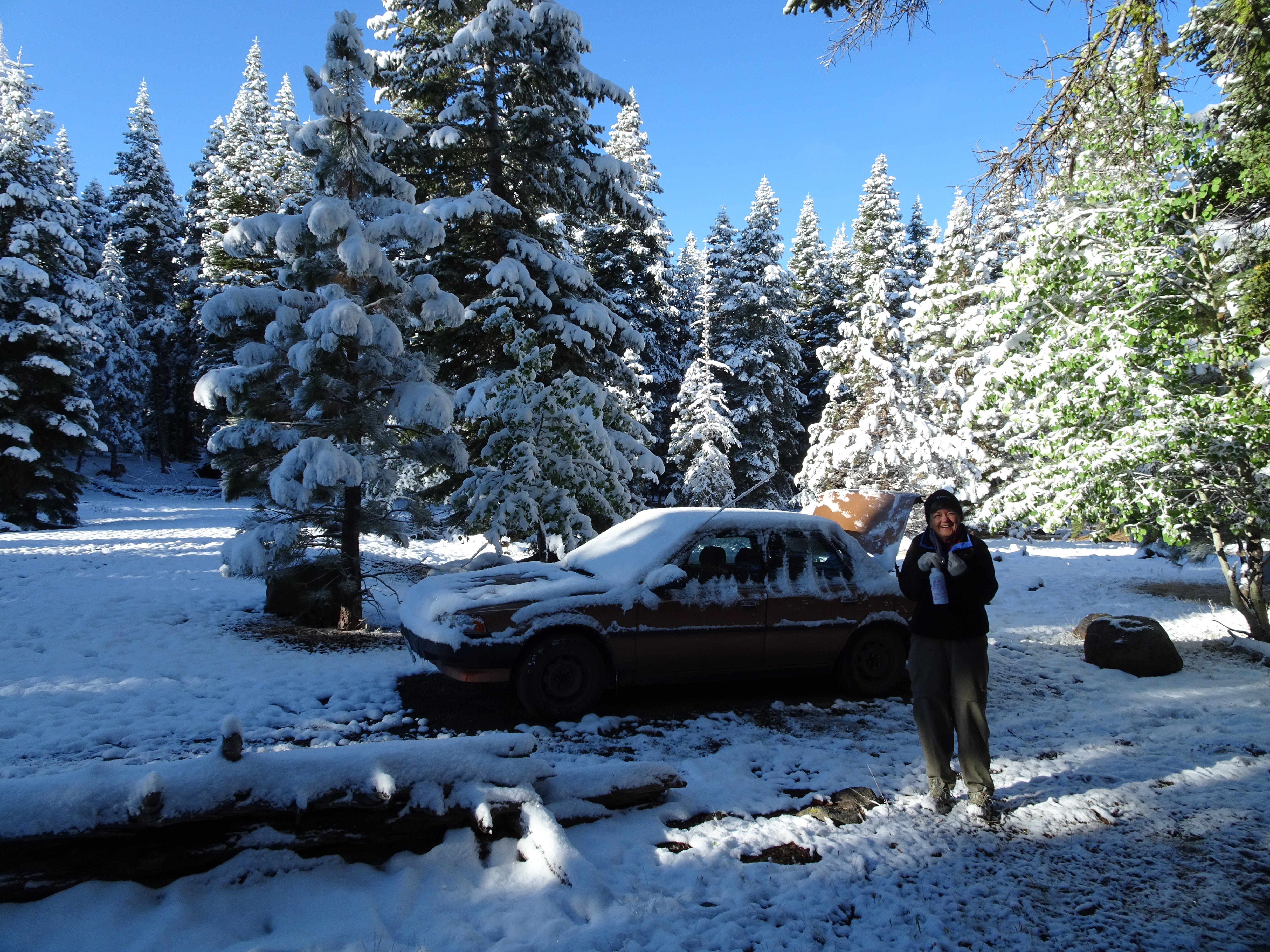
Breakfast in heated car covered with snow.
Kevin & Martha drove up in morning and said going to Lake Patterson to camp.
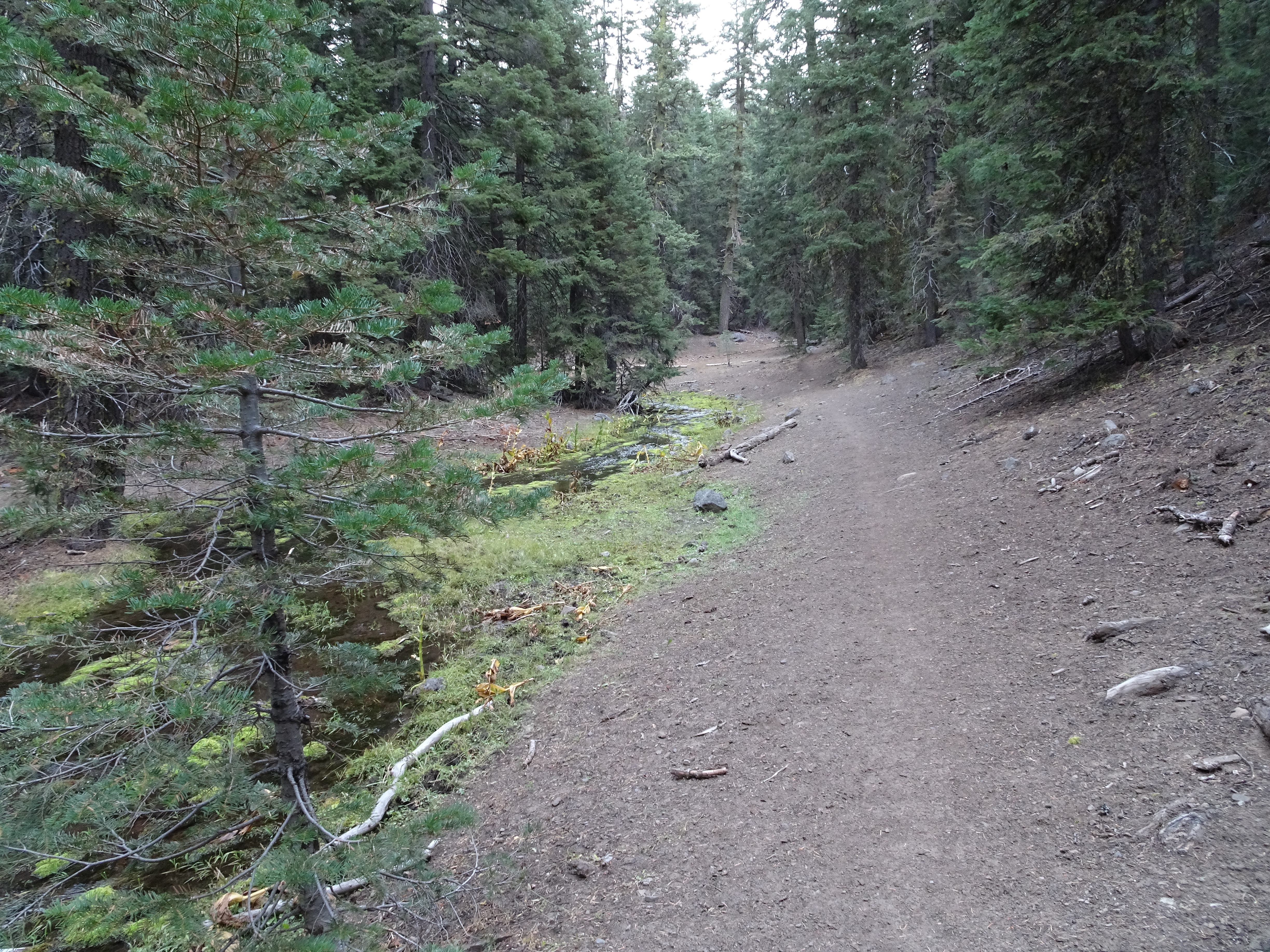
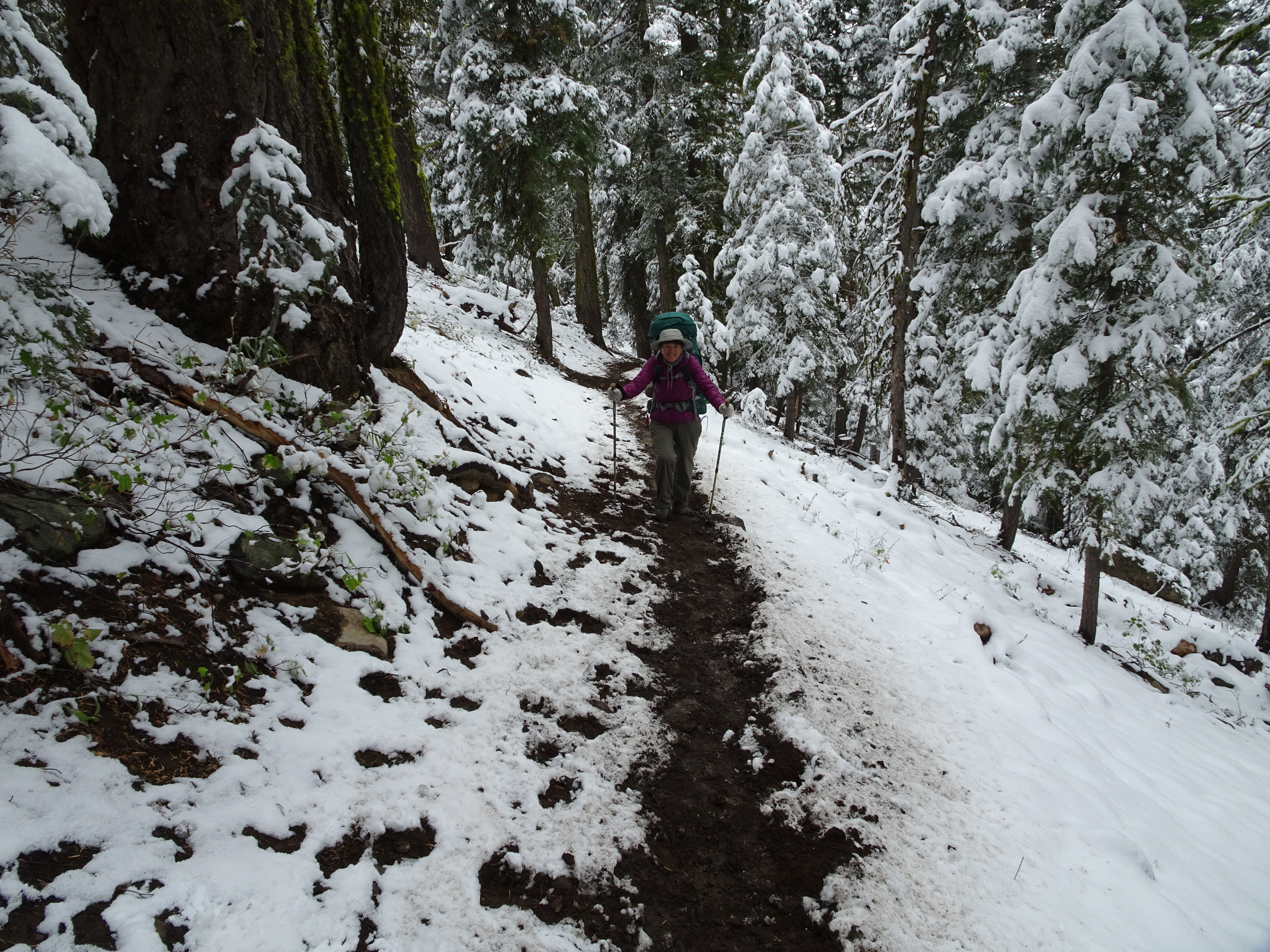
We left around 12:30. Trail was steep, slippery in places, but well defined.
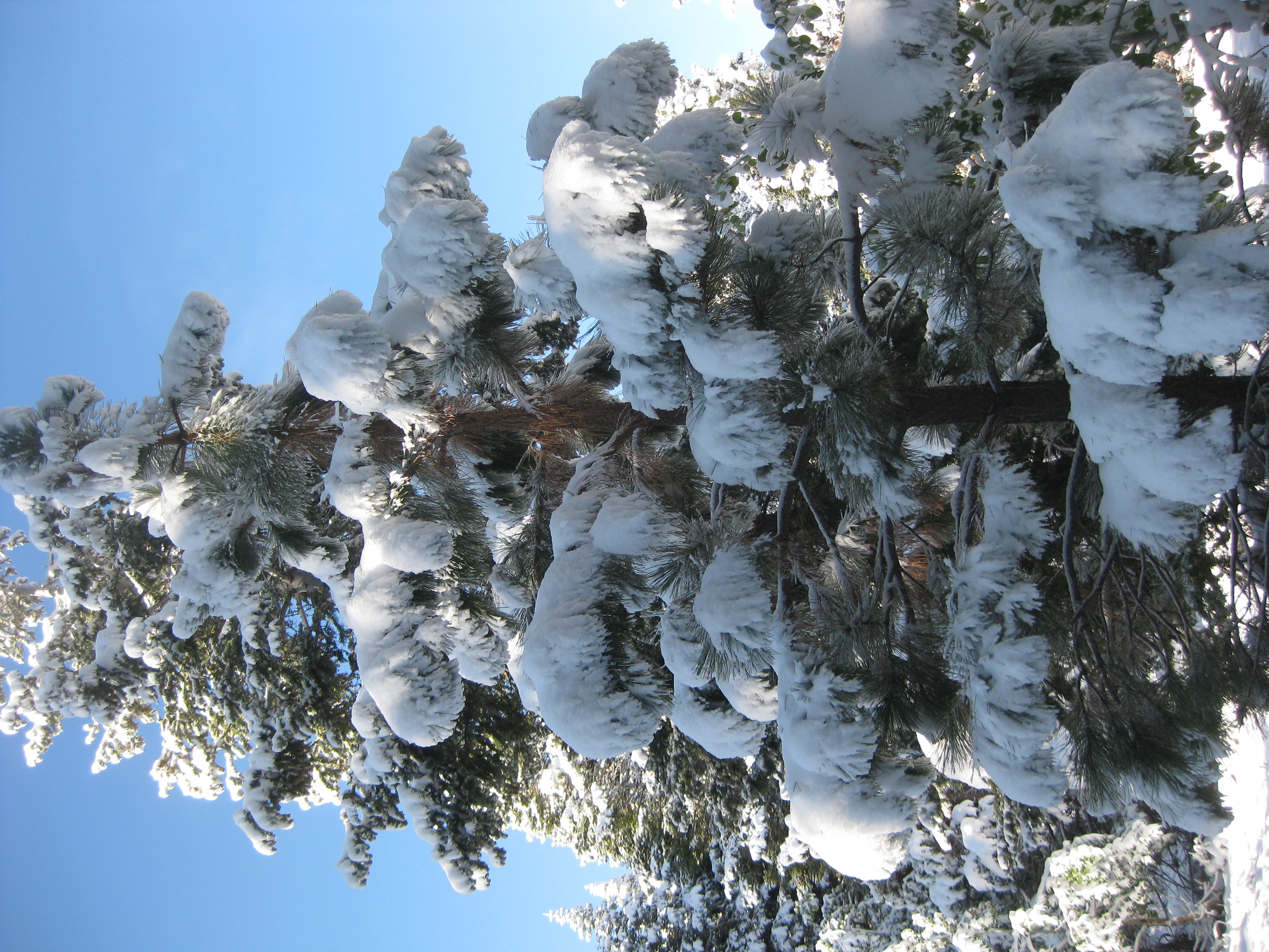
Snow on trees occasionally fell on our heads. The middle picture below was right after that happened.
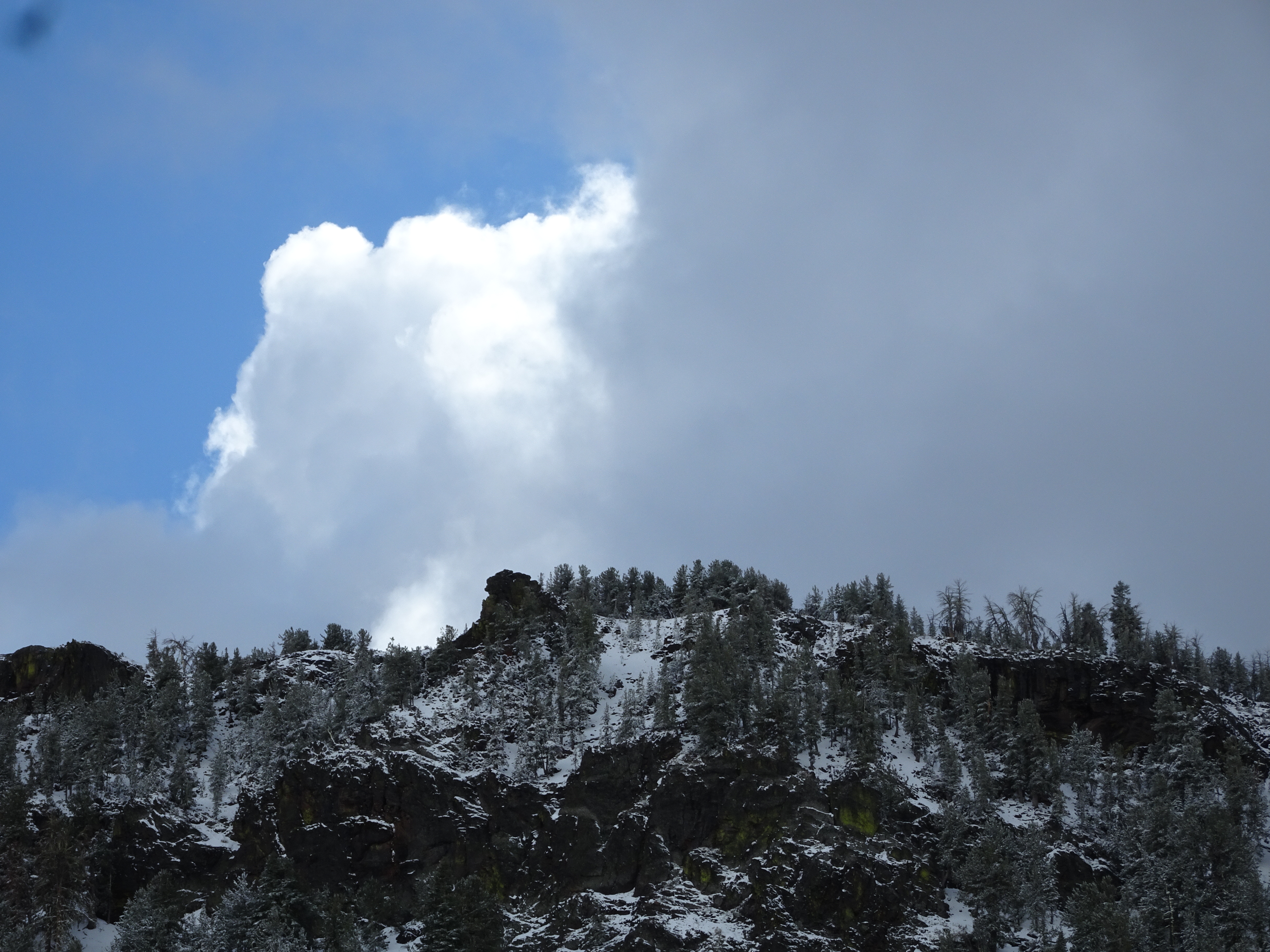
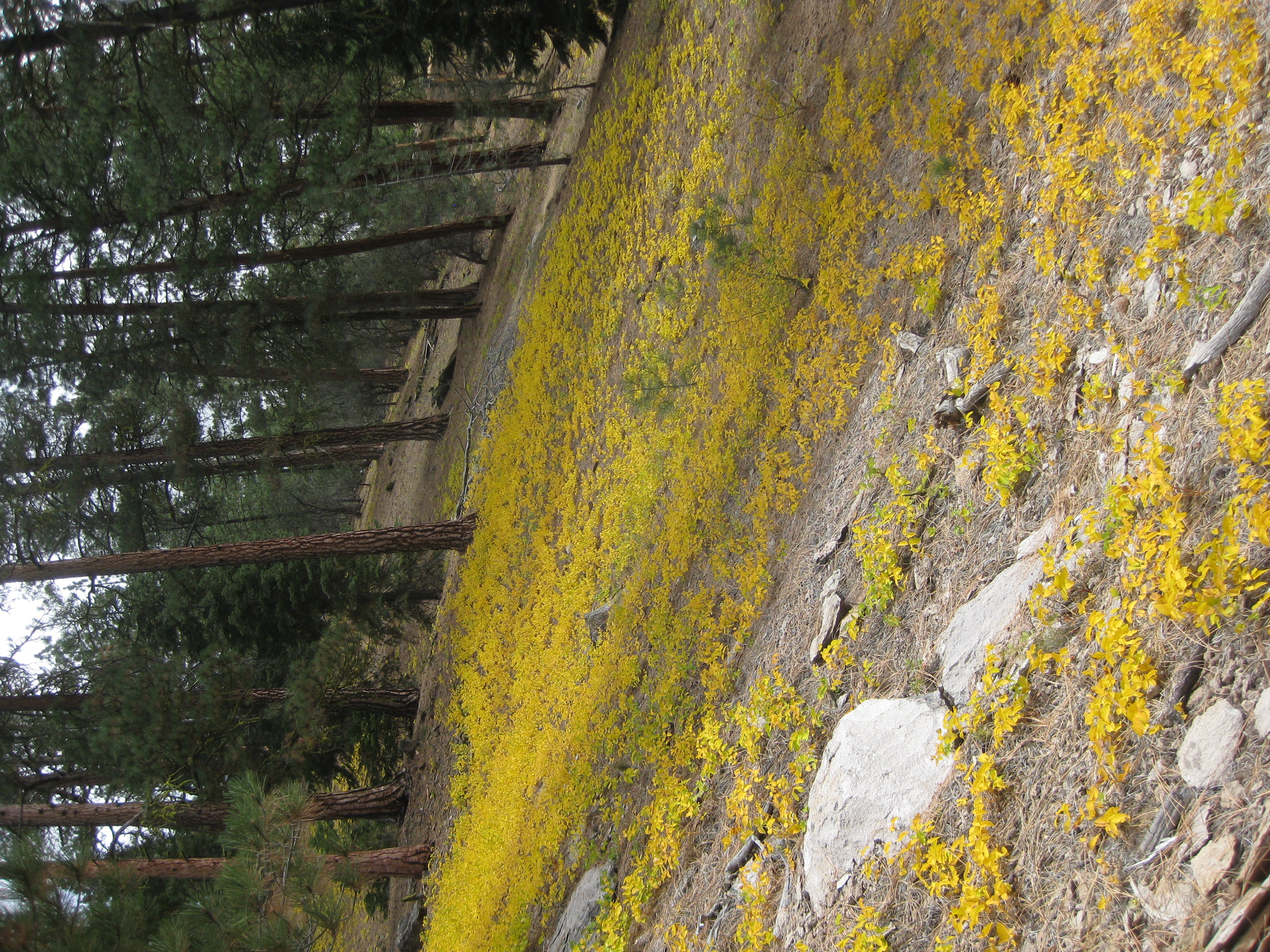
Scenery of snow covered trees along mountains & ridges was beautiful.
Passed small, pretty lakes.
Occasional snow showers.
Saw a few ducks.
At start cow was in trail in front & ran off into woods.
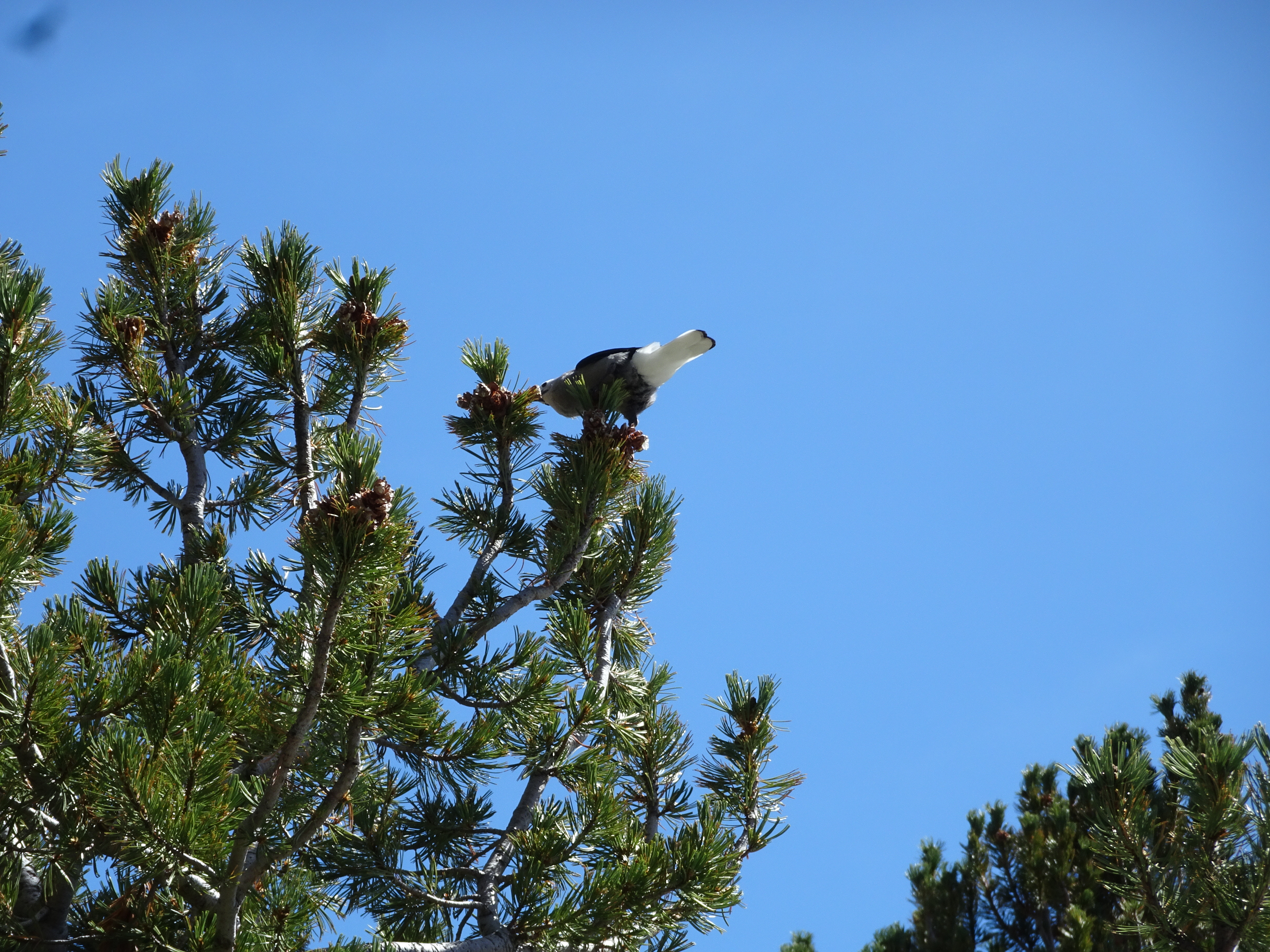
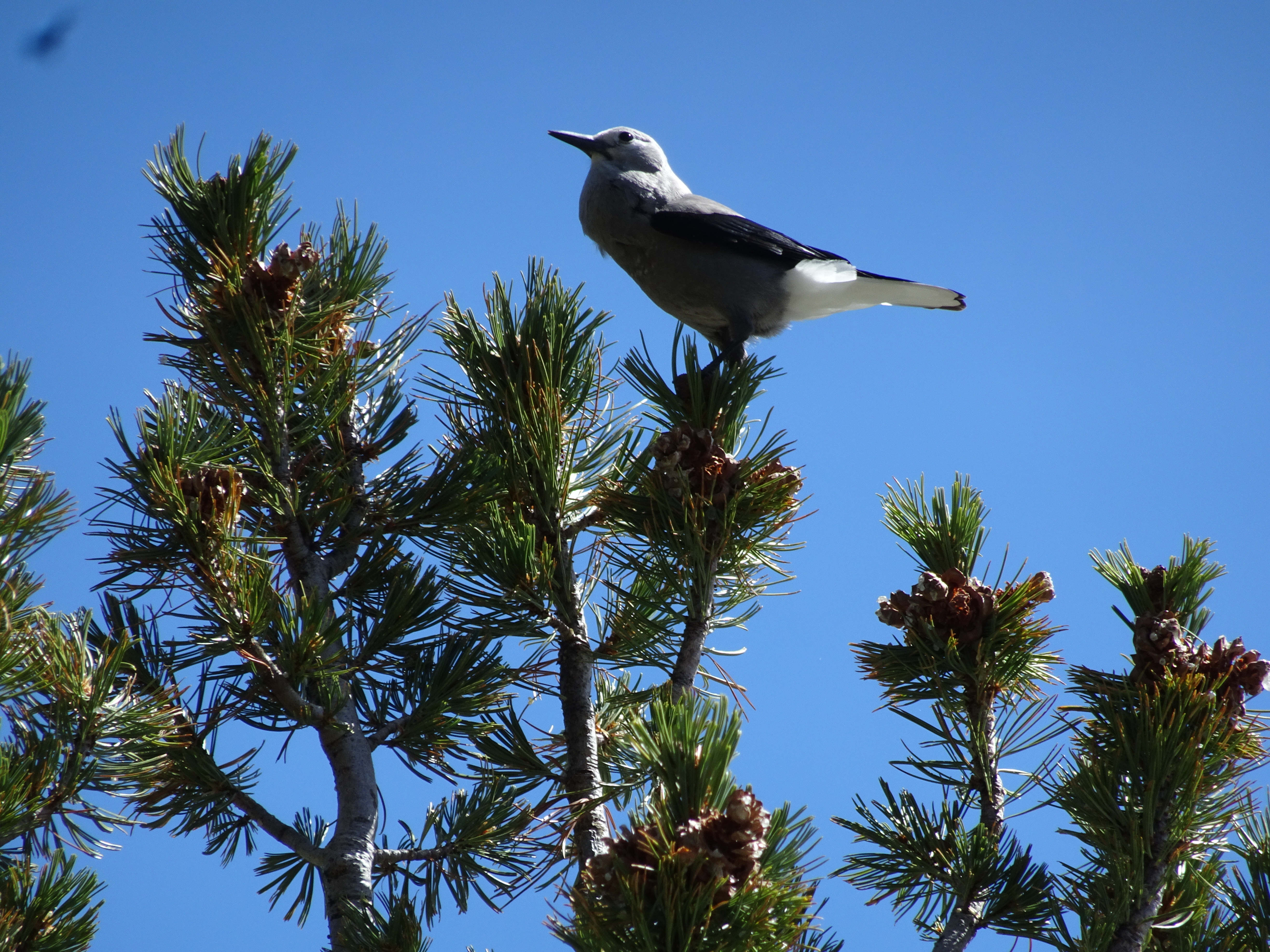
Heard lots of birds.
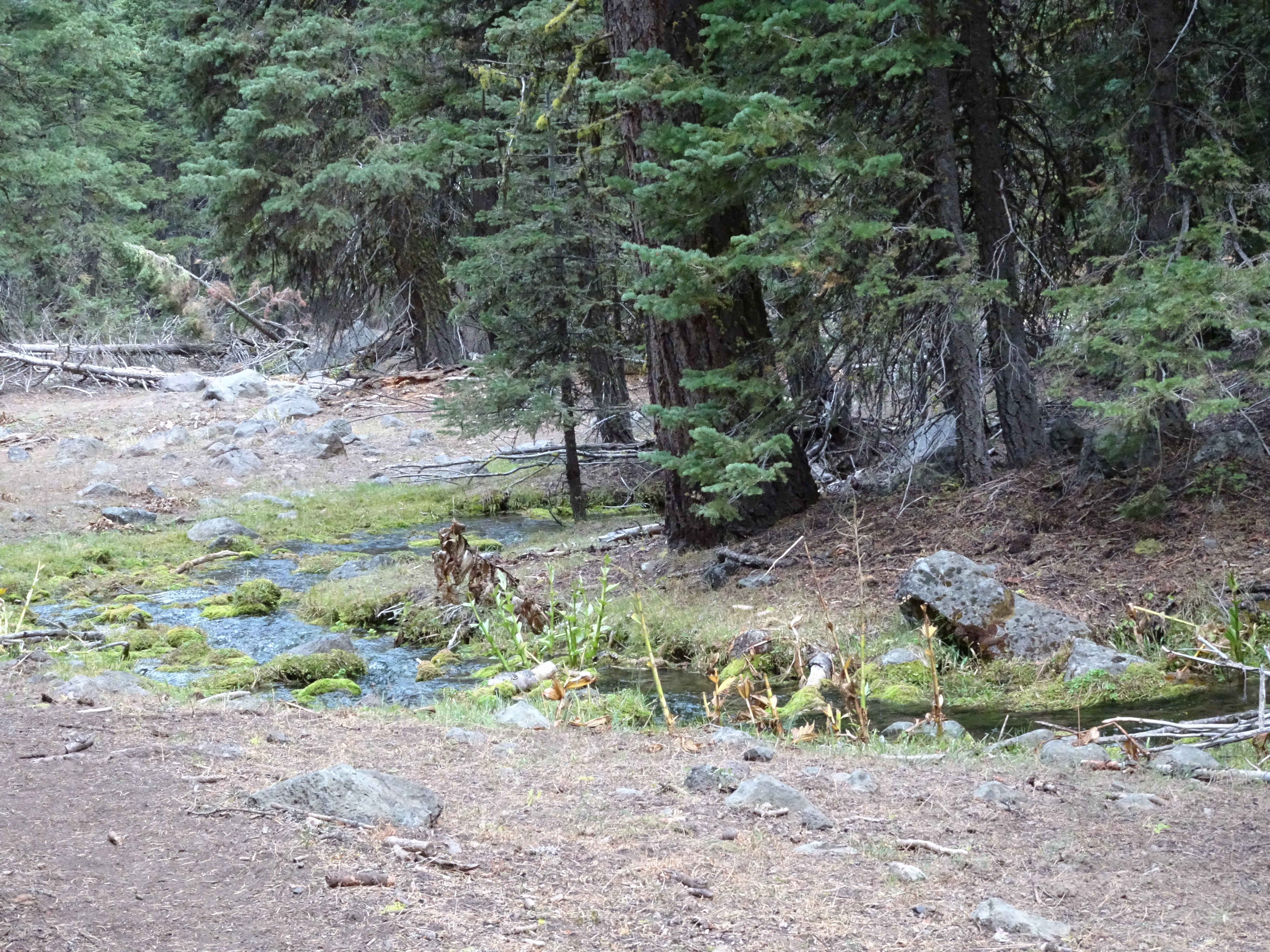
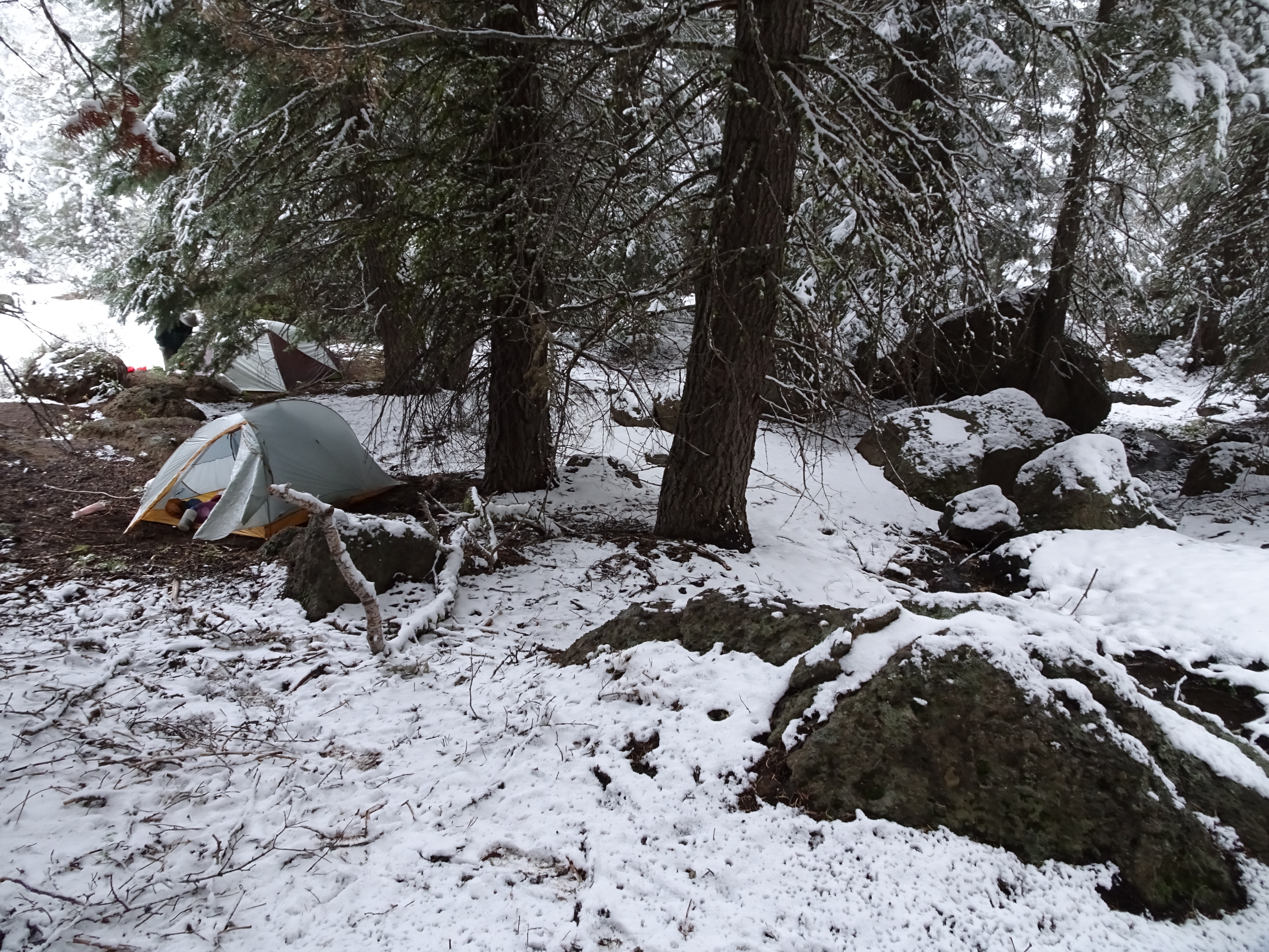
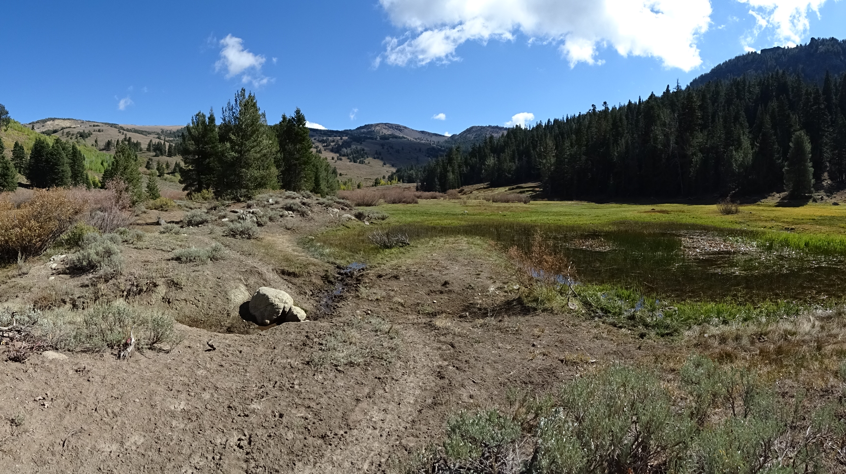
Crossed stream, found beautiful, sheltered-from-snow, campsite just above lakes in Pine Creek Basin.
Snowed while we were eating.
Cold night with clear skies & lots of stars.
Day 3, Friday, September 22
Day hiked in the Pine Creek Basin area (net gain 0': total uphill 1,240')
Elevation Profile (understates distance):
Dinner: salmon, cheese, Triscuits, other sesame crackers, figs, blueberries
Diary:
Martha and Kevin stopped by on the way up to Patterson Lake.
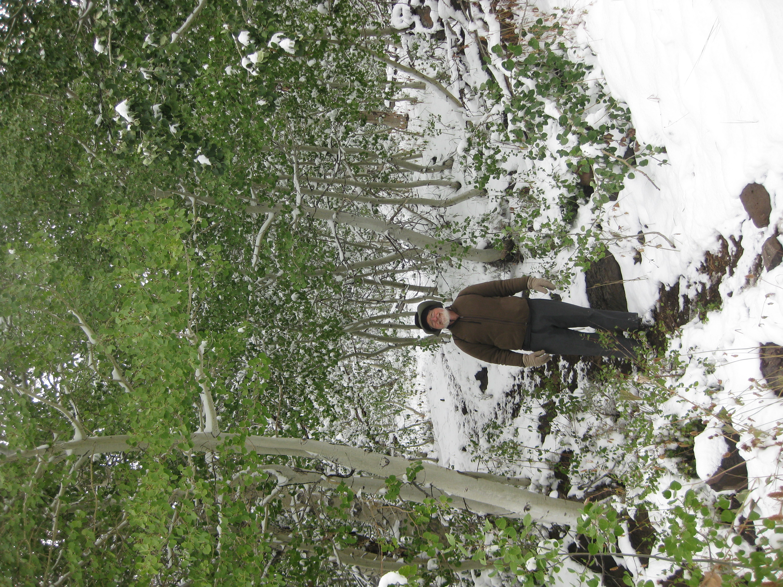
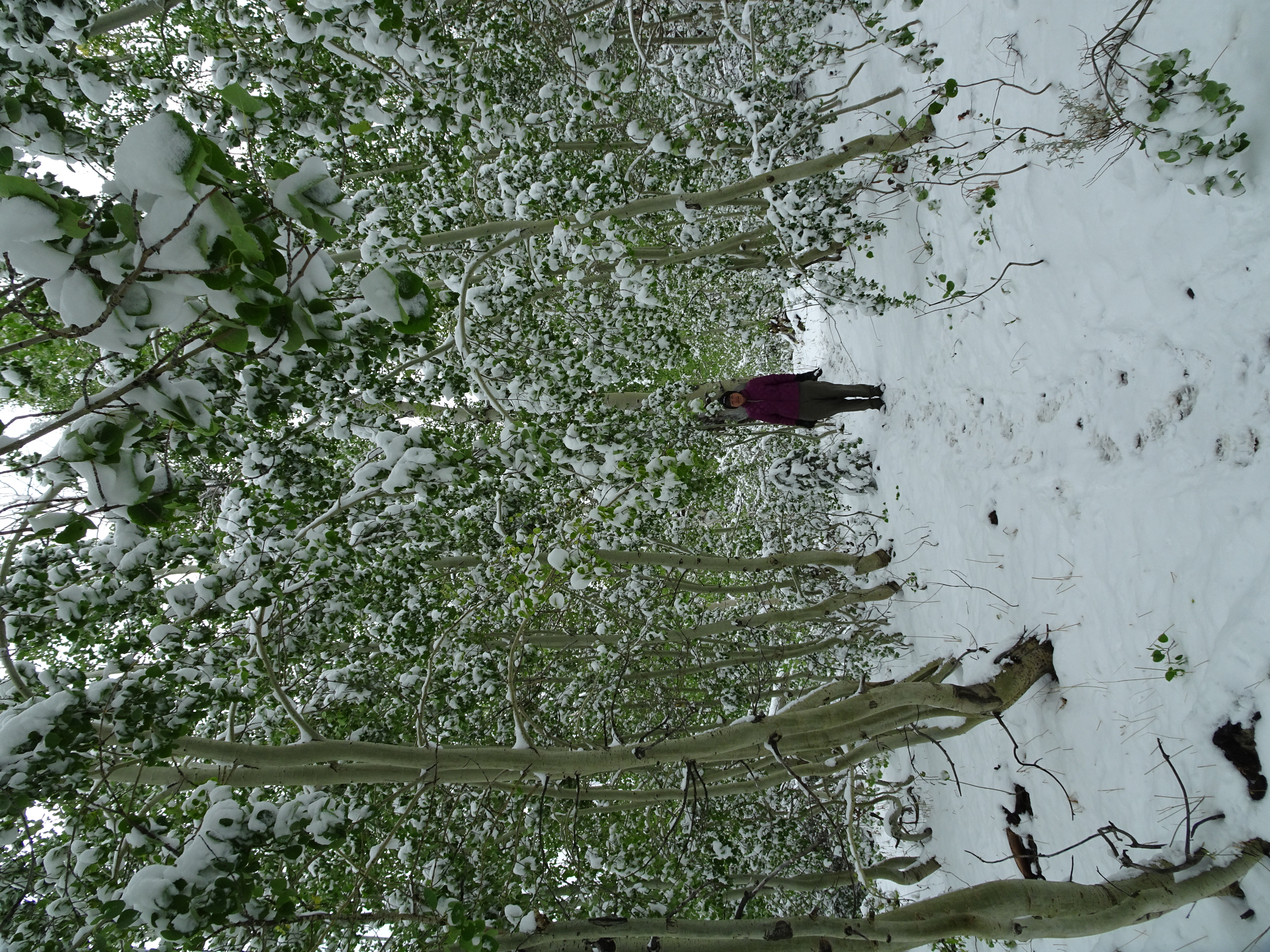
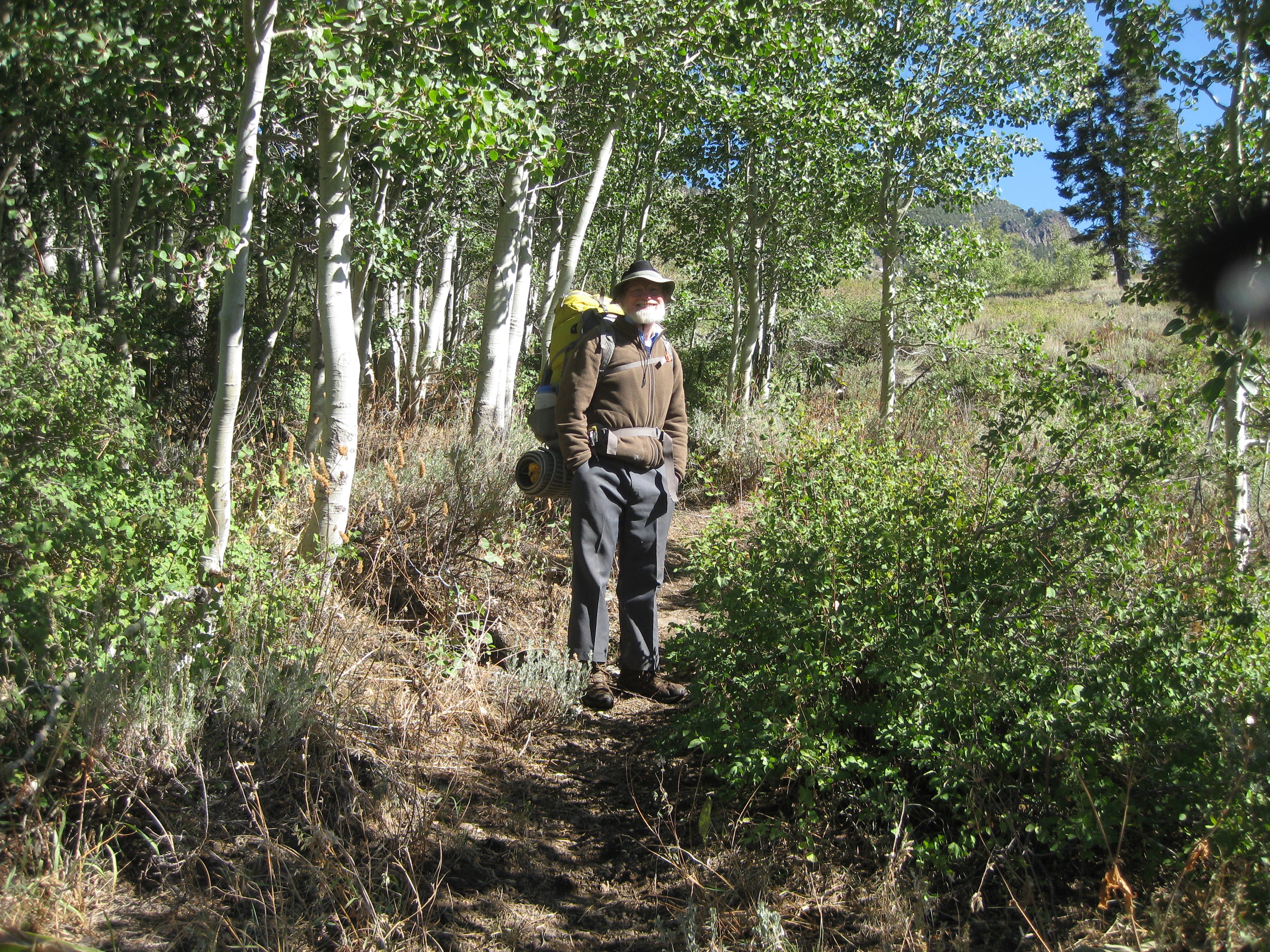
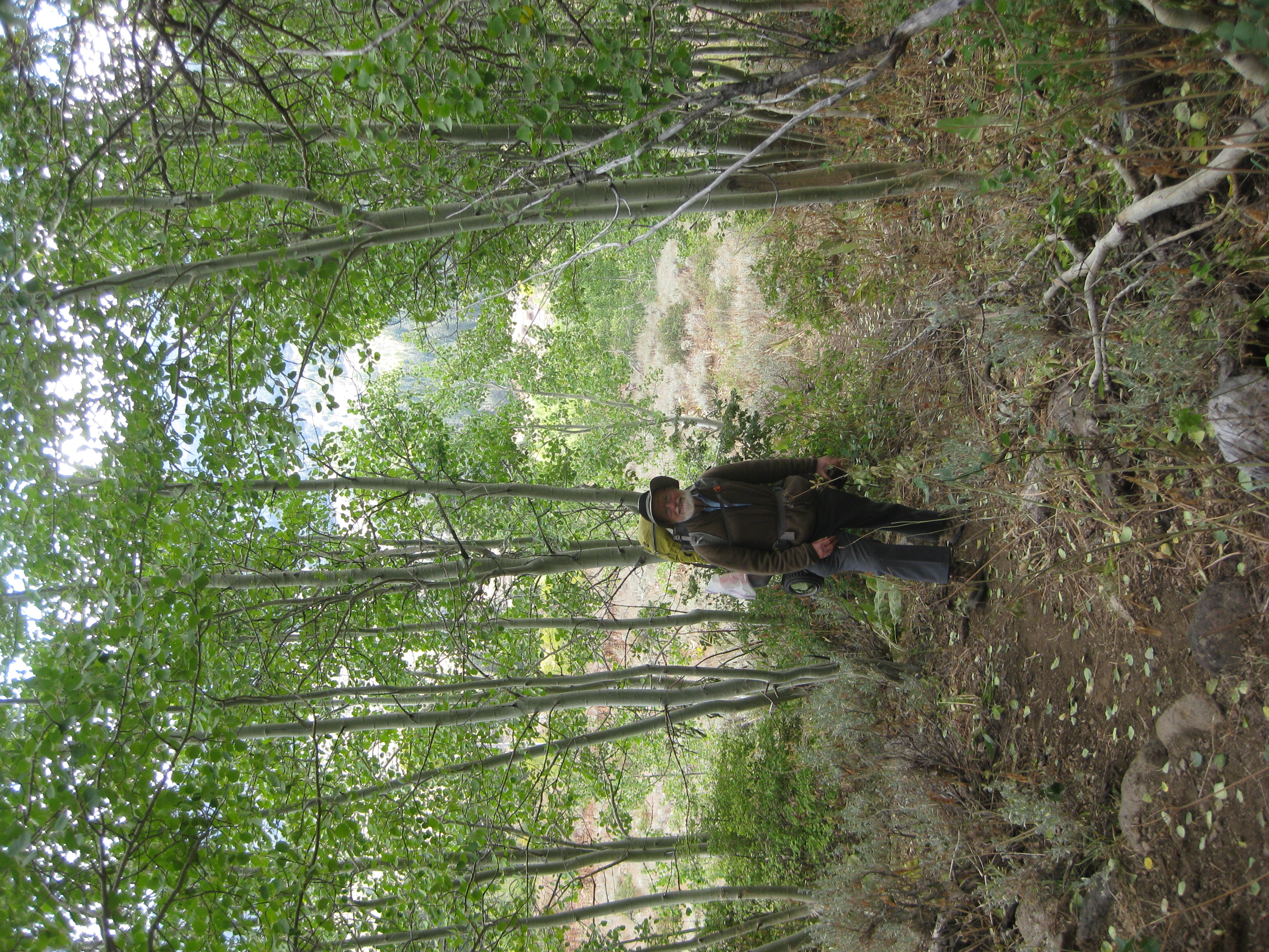
We took a day hike day up to beautiful aspen trees. Very light snow falling. Lots of snow on ground. Trail occasionally hard to find but not so steep as we expected.
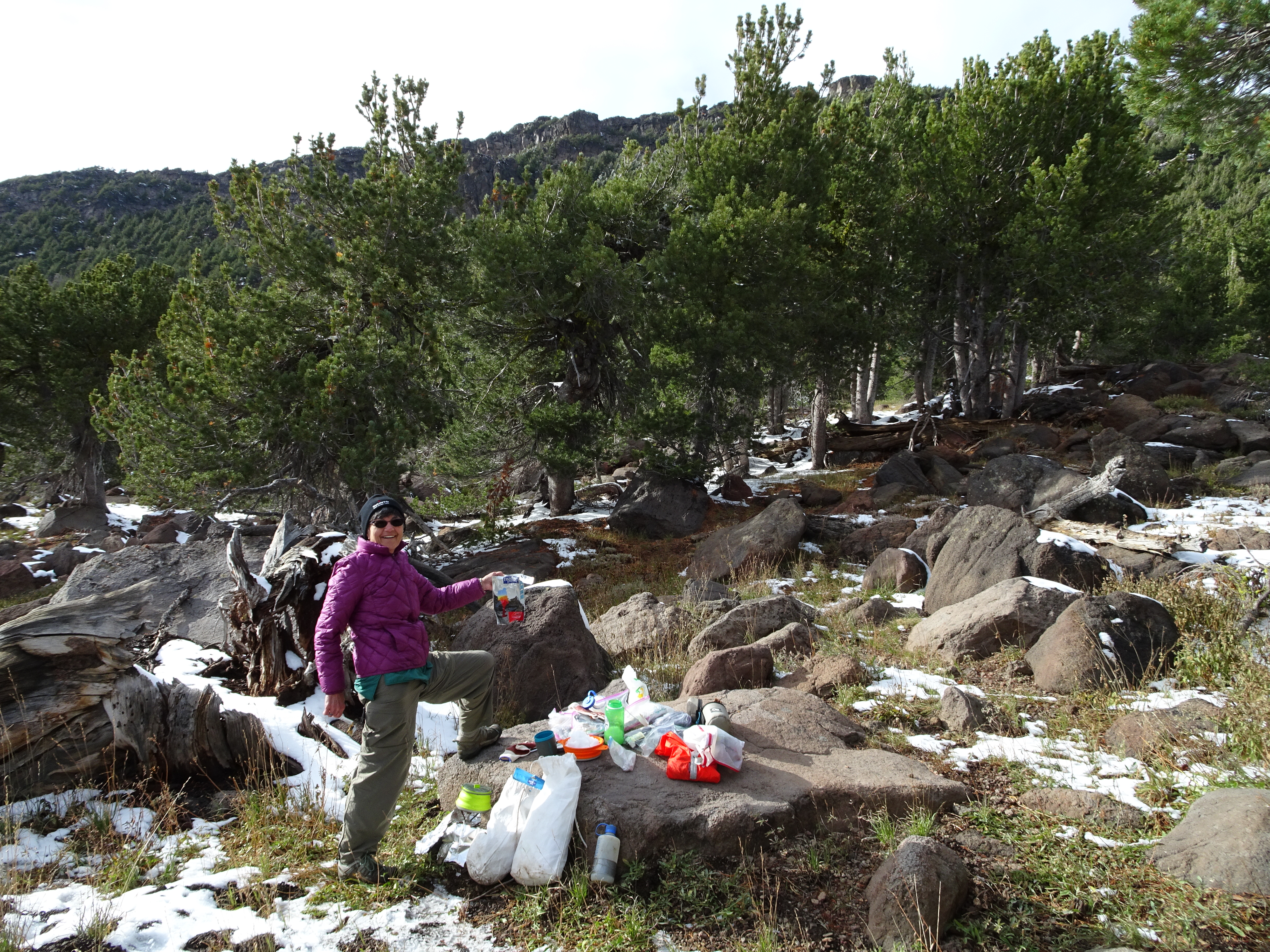
Decided to re-organize food.
Found Steripen did not work. Decided [for tomorrow] to day hike to car, drive into & get new batteries and/or new Steripen.
Day 4, Saturday, September 23
Day hiked about 6 miles down to the Pine Creek Trailhead and back in order to drive into town. (net gain 0': Total uphill: 757') Elevation Profile (understates distance):
Dinner:
Diary:
Got up at 6 AM, started hike at 8 AM.
Since out of water, Bob filled bottle with snow and put in sleeping bag during the night. Drank up after a few hours & got more snow packed into bottle & had more water by morning.
Enough water so Reenie could have a sip.
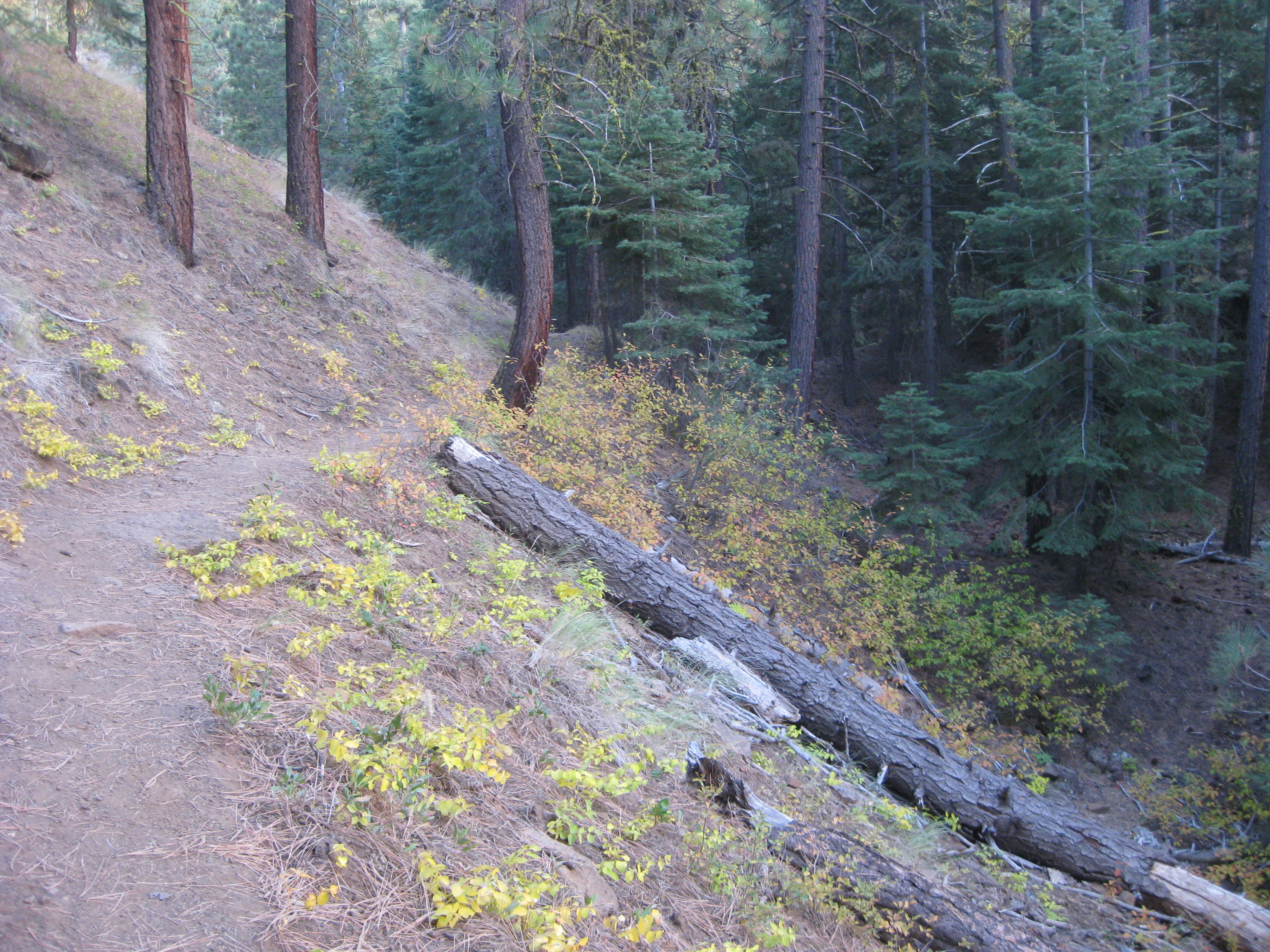
Hiked down Pine Creek Trail, which was often crunchy with frozen ice.
Got to car at about 9 AM & drank water.
Car started up, but before that needed about a quart of oil.
Clear blue skies.
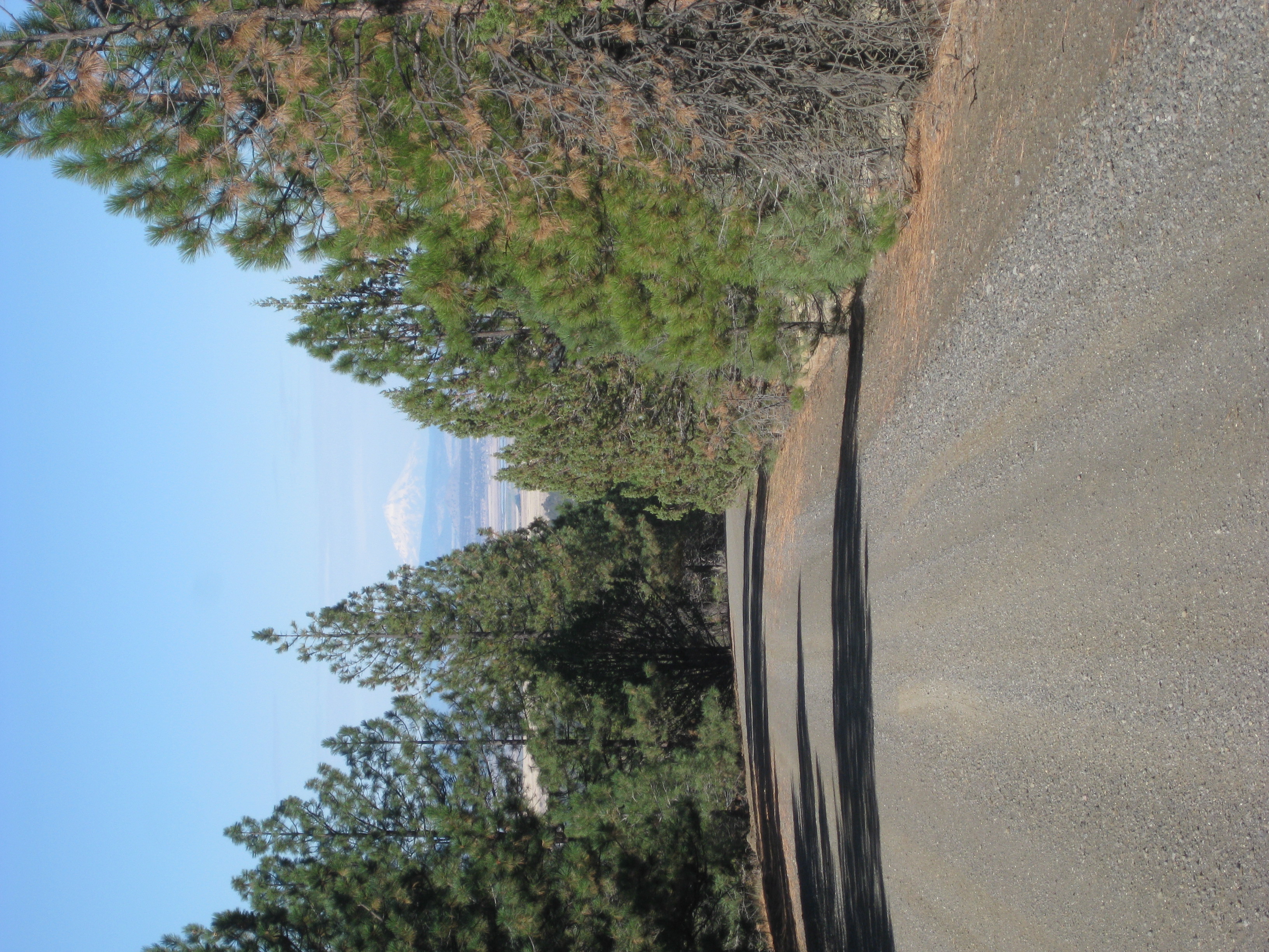
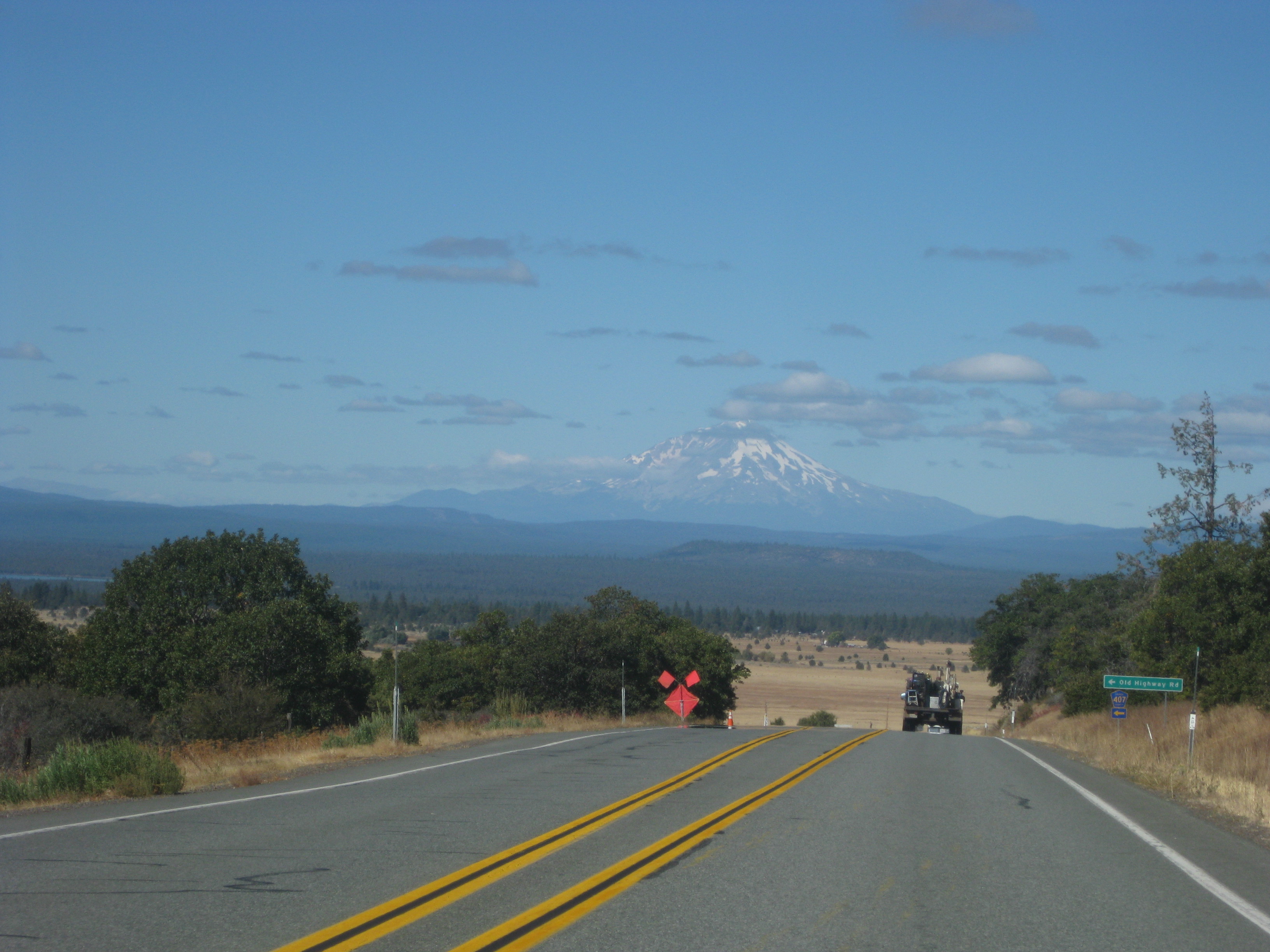
Beautiful sunshine view of snow capped Mt. Shasta on way to Alturas.
At Alturas Modoc Historic Museum Dixie told us where to find batteries & where other stores of interest.
Got batteries & went to Subway. Bought foot long veggies, Reenie got coffee & both us used their very nice bathroom to clean up. Fabulous.
Drove back to trailhead, each ate 1/2 of footlong subway, took off clothes layers before hiking, then hiked back to campsite.
On way back found pair of glasses Reenie had lost 2 days earlier.
Got back between 3:30 and 4, after stopping to look at potential last day campsites.
Day 5, Sunday, September 24
Backpacked about 4 miles from Pine Creek basin to junction with Summit Trail. (net gain 1400': Total uphill 1,400') Elevation Profile (understates distance):
Dinner: Pre-packaged Pad Thai meal to which we simply added heated water. Didn't taste very good.
Diary:
Got up around 8, took our time eating breakfast and breaking camp. Very clear, cold night, but now it turns sunny, warming. Reenie had not slept well.
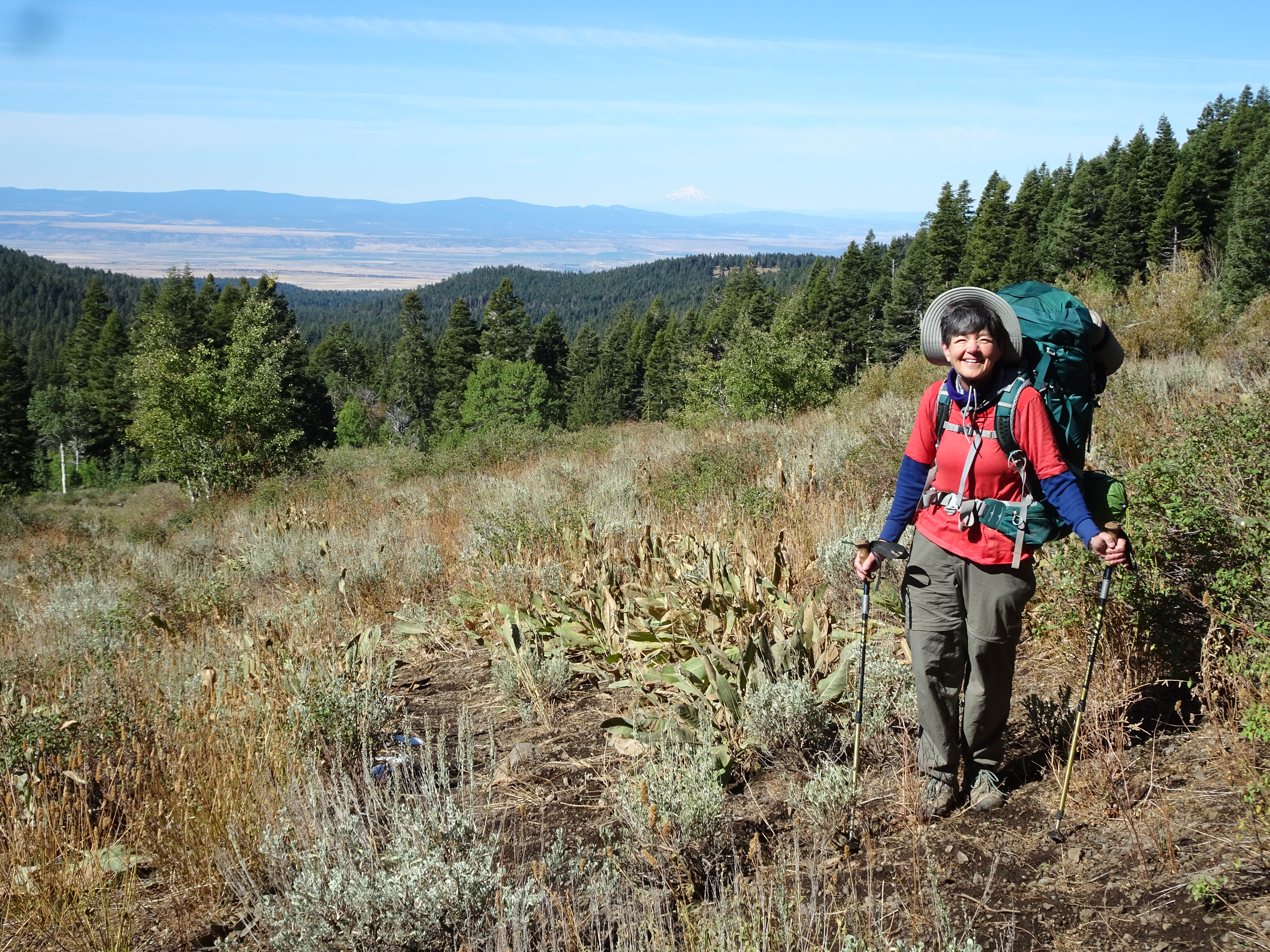
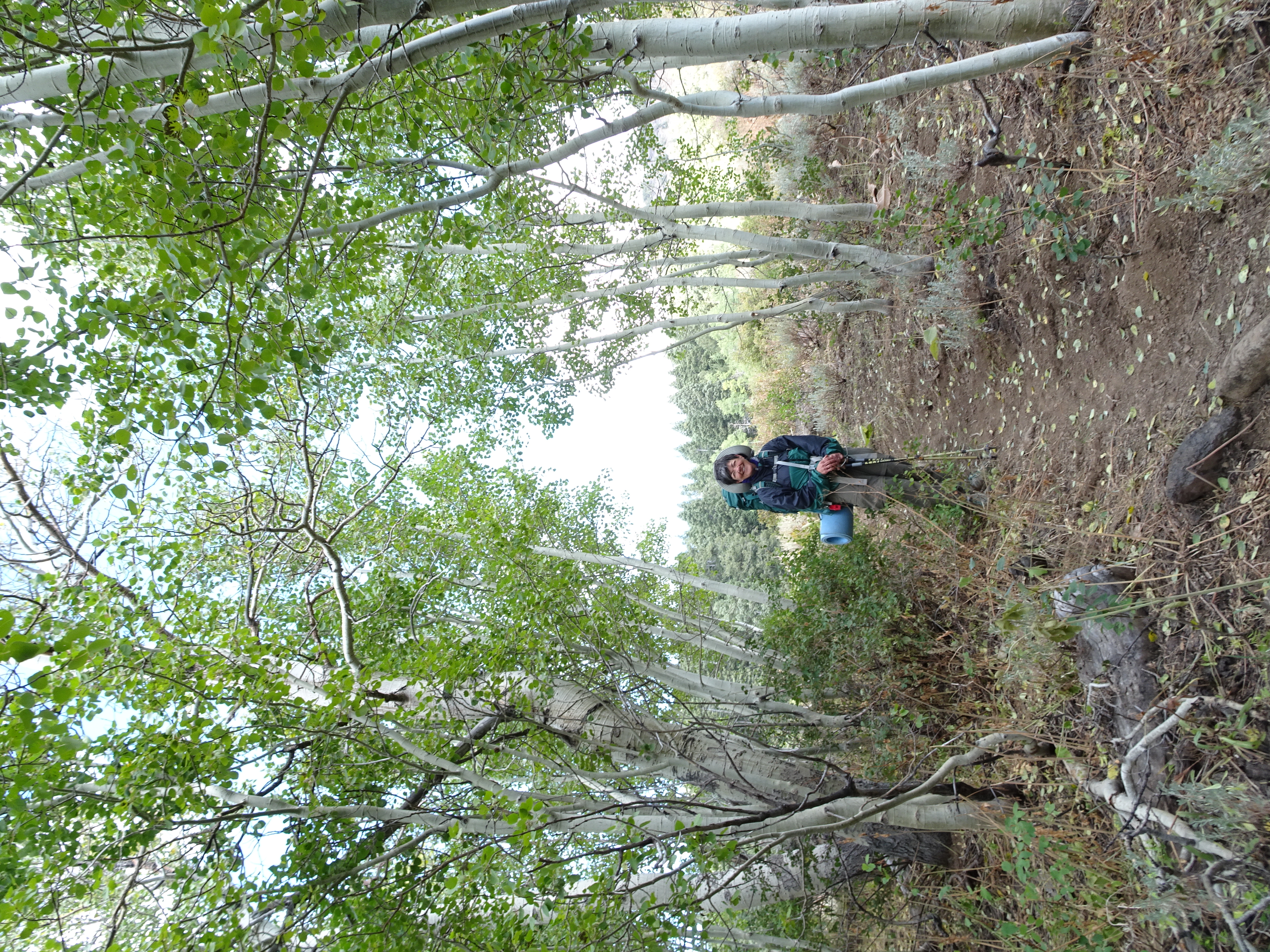
We began hiking steadily upward on Pine Creek Trail, through aspen, wonderful views of Mt. Shasta.
Crossed many springs, lots of snow still on ground, muddy in places.
Elevation gain around 1600 ft.
Ran into Kevin & Martha coming down. Had stayed at Patterson Lake where temp fell down to around 10 degrees & all their water froze.
They told us about a mile to junction with Summit Trail. This was very steep.
At junction, breath taking views.
However, Reenie got altitude sickness, was nauseous, and we decided the best thing to do was to stop, knowing the steepest was yet to come.
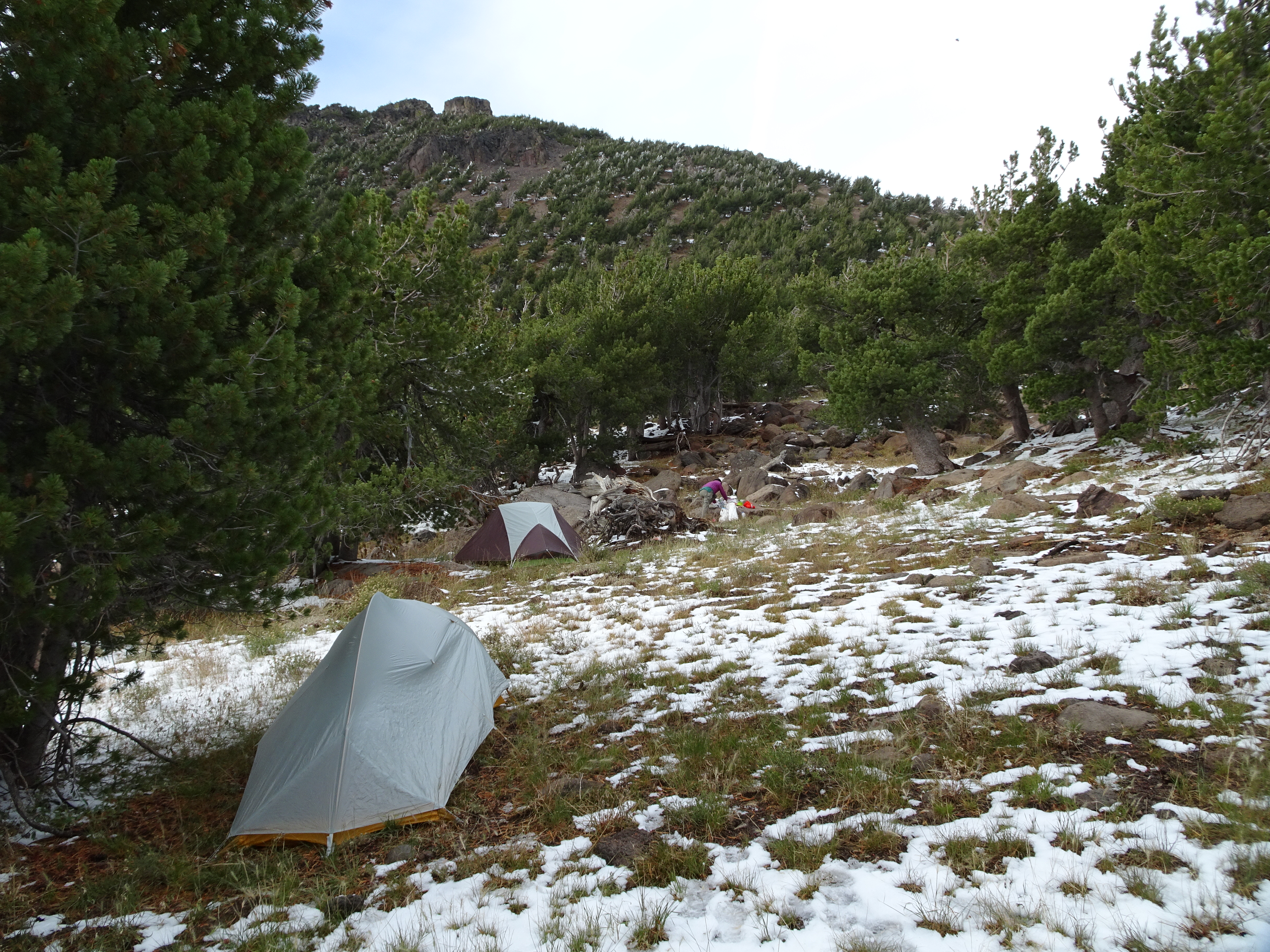
We found a place to camp.
Water was now a problem, except there was lots of snow, which we melted.
After setting up camp, Reenie did dinner using a pre-packaged Pad Thai meal that we simply added heated water to. Didn't taste very good.
Night was coldest & windiest of nights. However, we were able to sleep.
Because we were near ridge, both tents were on slopes and both Bob & Reenie ended up slipping in their tents.
Camped among stunted trees with lots and lots of birds.
Day 6, Monday, September 25
Backpacked about 3 miles to Patterson Lake (net elevation gain = 57'; total uphill 563').
Elevation Profile (understates distance):
Dinner: Rehydrated Madras lentils with spinach, pineapple chunks, rice, & sunflower seeds. Really good.
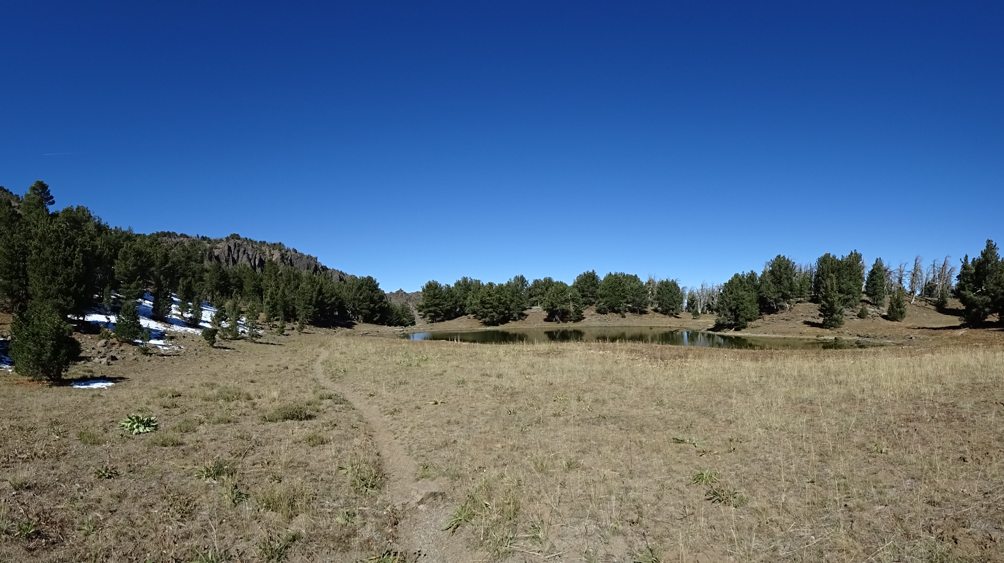
Hiked up to pass on Summit Trail with view of Patterson Lake & wonderful views east, west, etc.
Took off backpacks (now at 9400') and walked around getting views in all directions.
Hiked down to Patterson Lake in perfect weather, no wind, sunny.
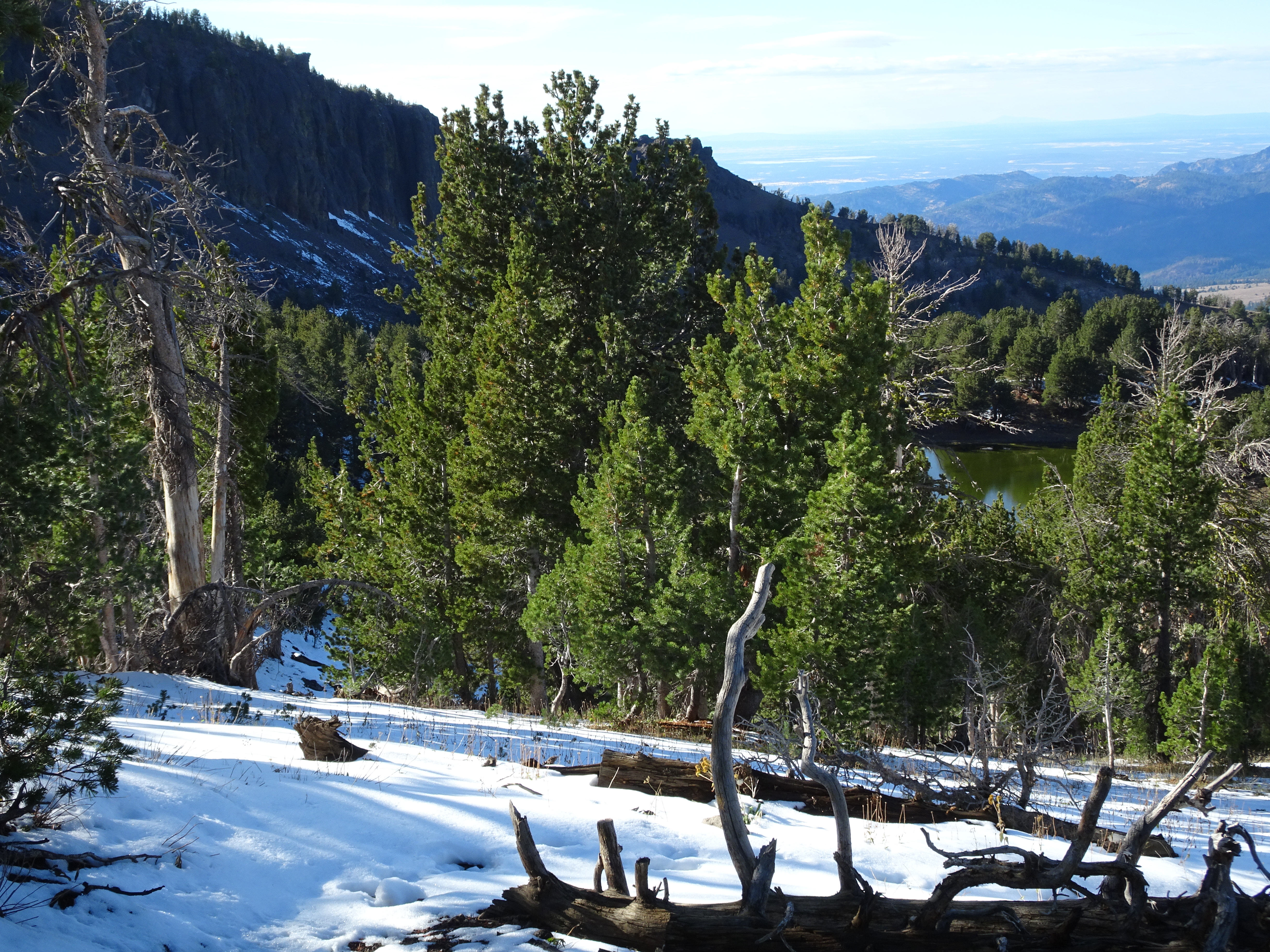
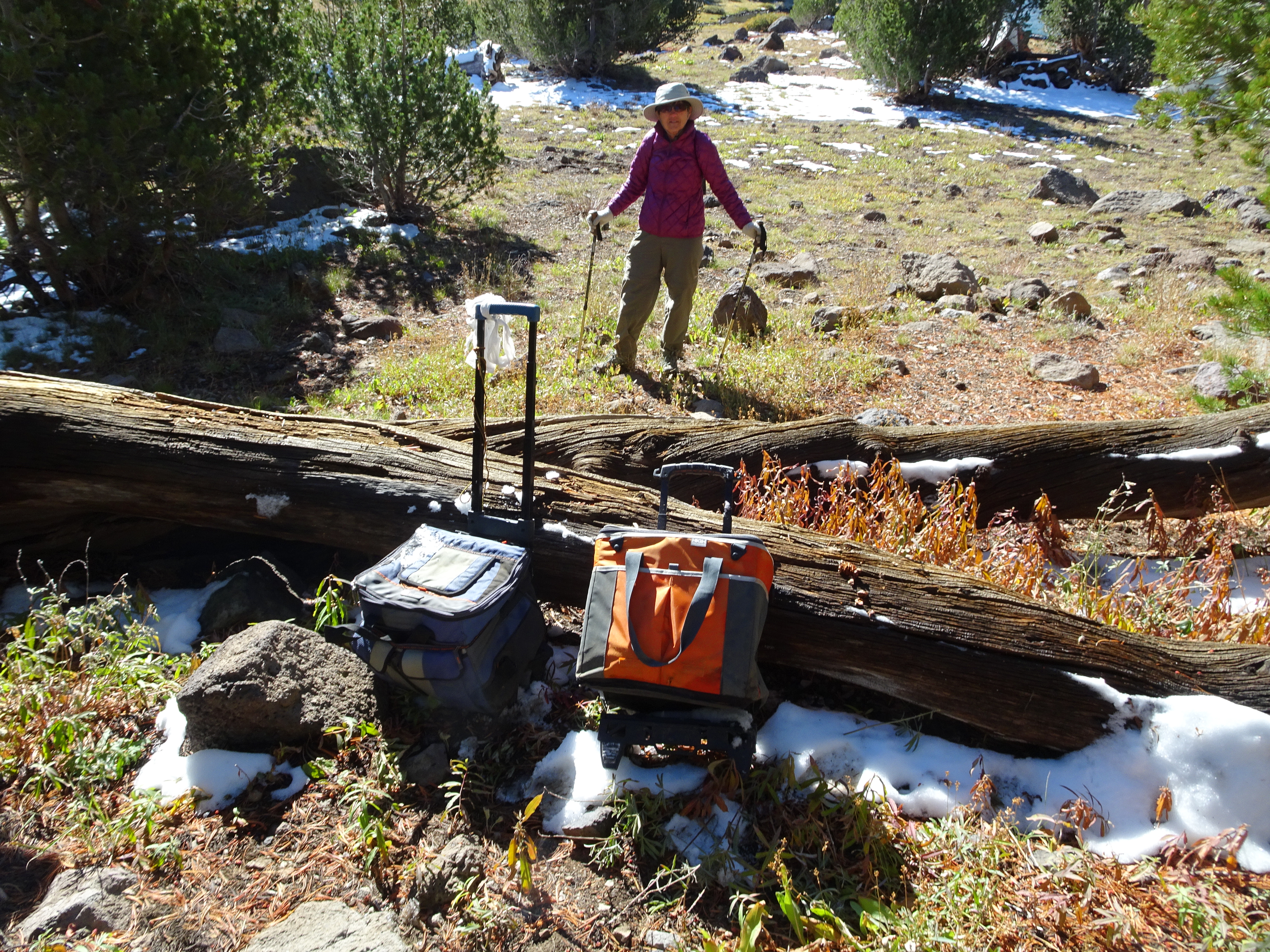
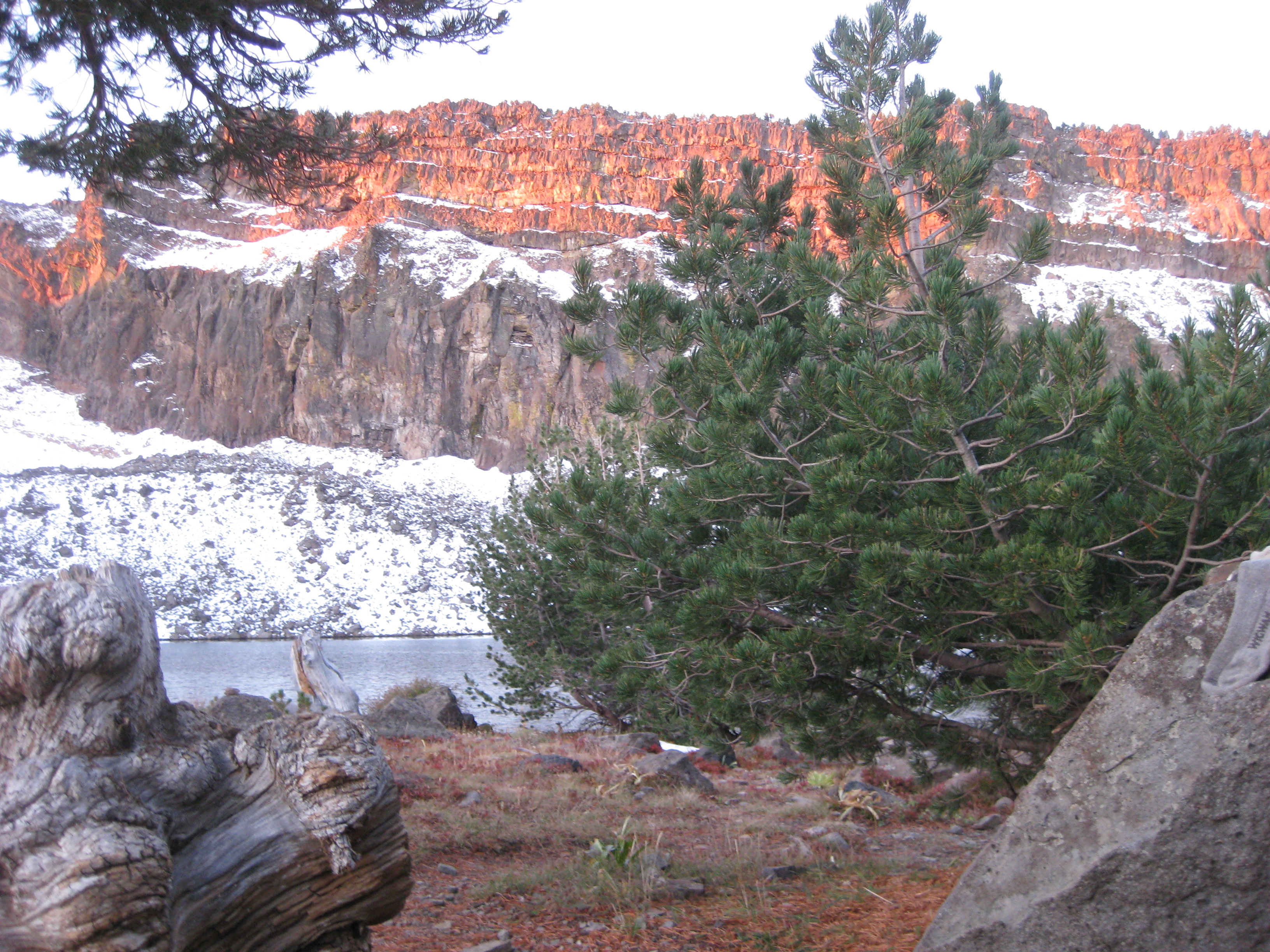
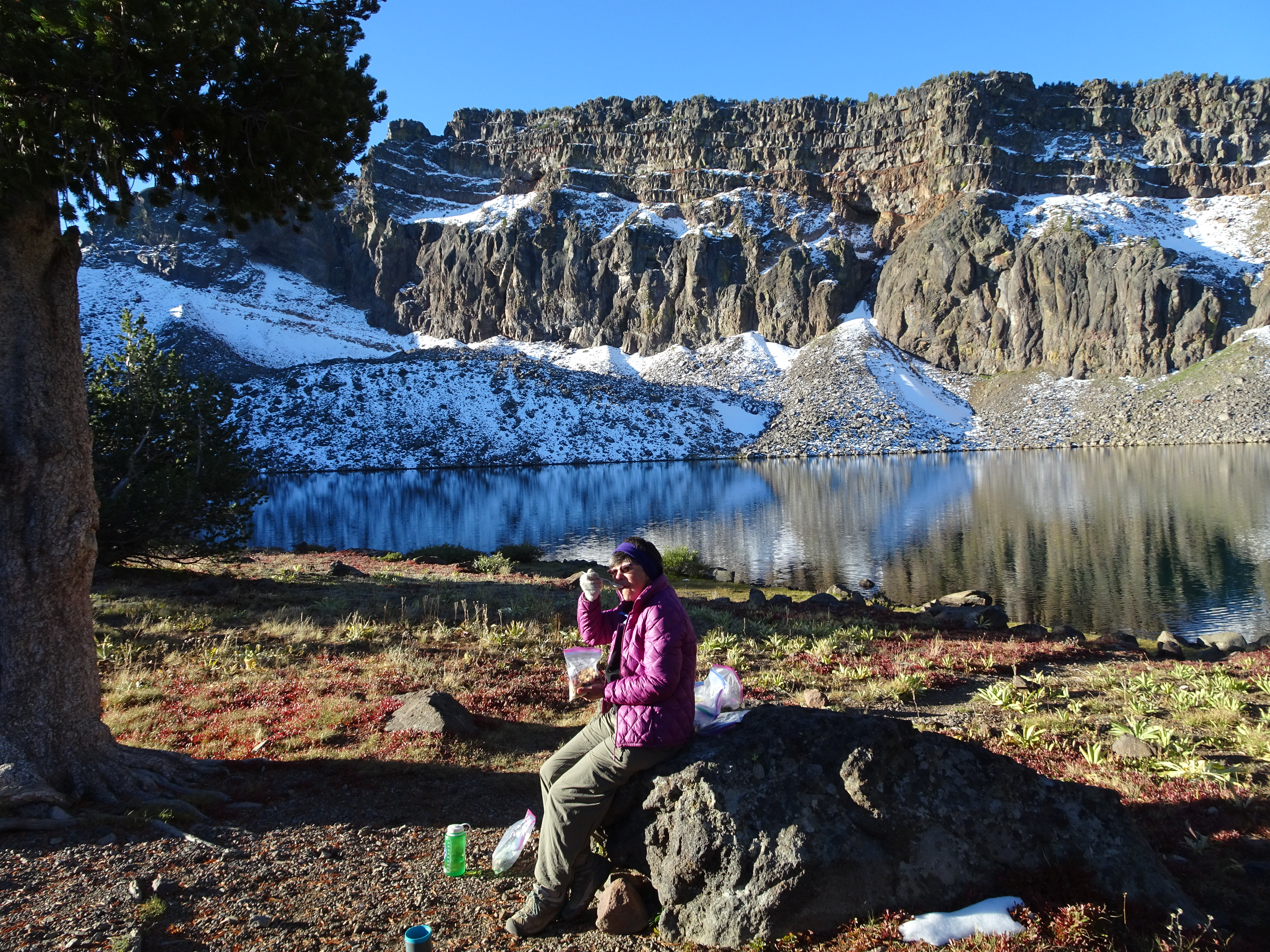
Found outstanding campsite with "front row seats" to lake and Warren Peak across lake & ridge face. Still some snow on north facing slopes.
Campsite had abandoned gear including sleeping bag, ground mat, lantern, long pants and warm shirt.
Kevin & Martha had told us the gear had been there for at least a couple of nights.
Reenie added pad & sleeping bag to her own gear and was completely warm all night for first time.
We decided this was perfect campsite & would do day hikes.
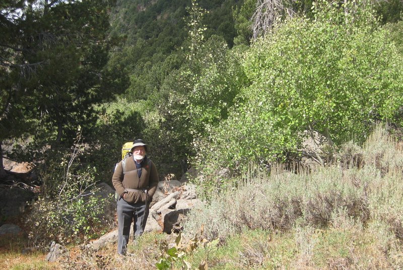
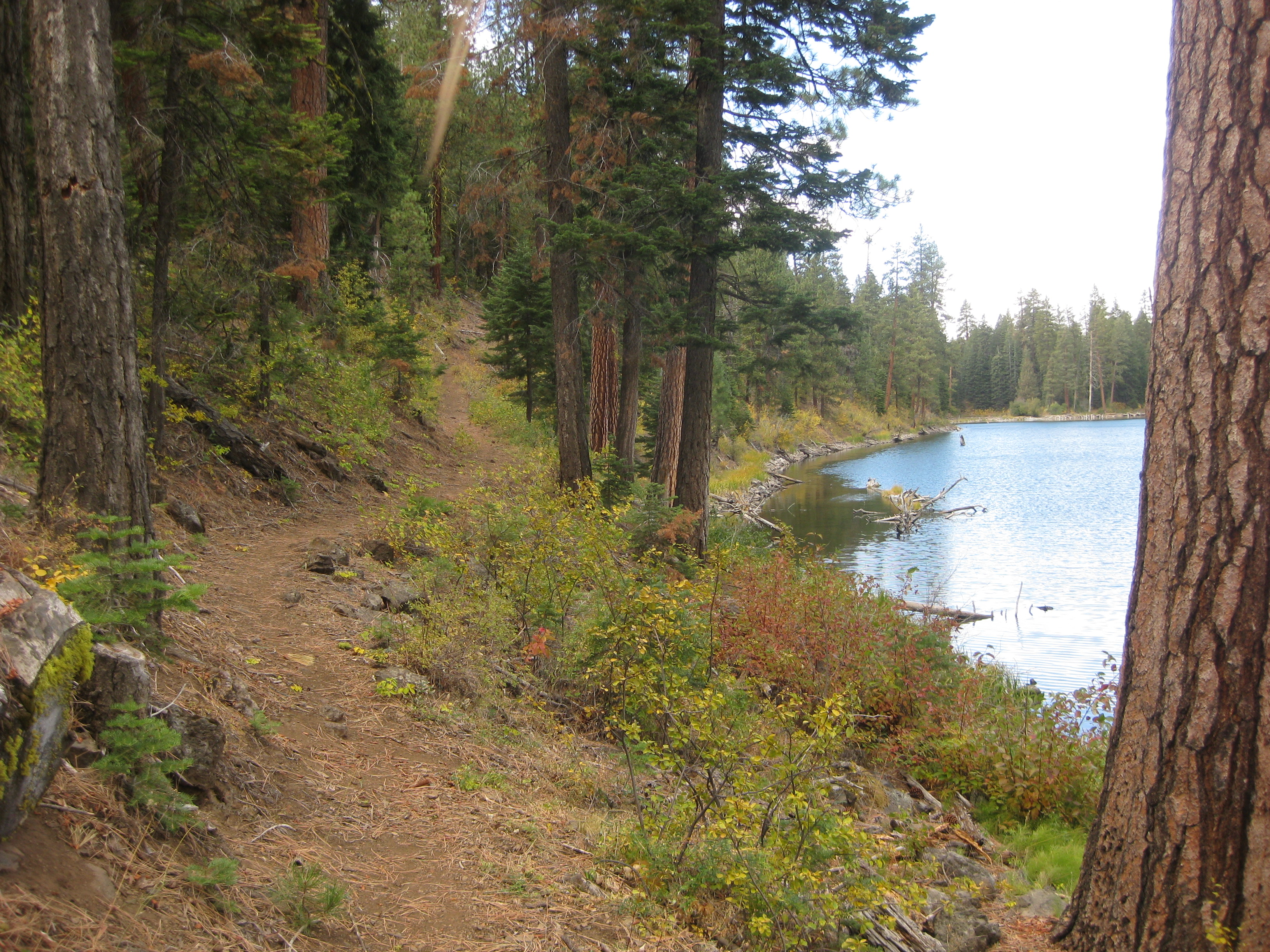
Did an afternoon hike to Cottonwood Lake & also went down a bit on Upper Cottonwood Trail.
Decided tomorrow we would hike to Cottonwood Basin.
Day 7, Tuesday, September 26
Day hiked about 7 miles along Summit Ridge and Upper Cottonwood Trails to a canyon ridge across from Squaw Peak overlooking Cottonwood Basin (net elevation gain = 0'; total uphill 2,343').
Elevation Profile (understates distance):
Dinner: Rice pilaf with spinach, mushrooms, onion, tomatoes, chili powder, on top were Marsala (veggie) burgers
Hiking east side of mountains on Summit Trail, then turned east on Upper Cottonwood.
First part of Upper Cottonwood we ran into cows on trail - 11 of them. They left trail to get away. (Bob's stampede). We also found two wheeled carts filled with trash - including beer cans and liquor bottles.
Also on first part of Cottonwood we crossed a stream several times that formed a pretty cascade down the ridge side.
Then turned north on Cottonwood Trail which led to an overlook of Cottonwood Basin.
Saw no other people all day until we returned to camp. A bit after we arrived brothers David and Andy from Walnut Creek and San Jose arrived. They intend to stay for one night. (No tent! Very cold night. They did NOT sleep well.)
Bob took video of chipmunk digging hole & throwing out dirt. As a reward, the chipmunk has 2 1/2 cashews placed in his tunnel & on his dirt pile. Much later, cashews were gone, tunnel was closed.
Decided next day to day pack Summit Trail heading north to Squaw Peak.
Day 8, Wednesday, September 27
Day hiked about 5 miles along Summit Trail to a canyon ridge below Squaw Peak (net elevation gain = 0'; total uphill 1,165').
Elevation Profile (understates distance):
Dinner: Jaipur vegetables (Trader Joes) with rehydrated green beans, pinto beans, rice, red bell pepper, pineapple, along with cashews. Outstanding, 5 star meal
After eating breakfast (& drinking coffee) we explored around lake and possible access to Warren Peak. This also gave David and Andy a chance to leave.
Around 11 AM we began our day hike north on the Summit Trail passing next to Cottonwood Lake which was not particularly attractive.
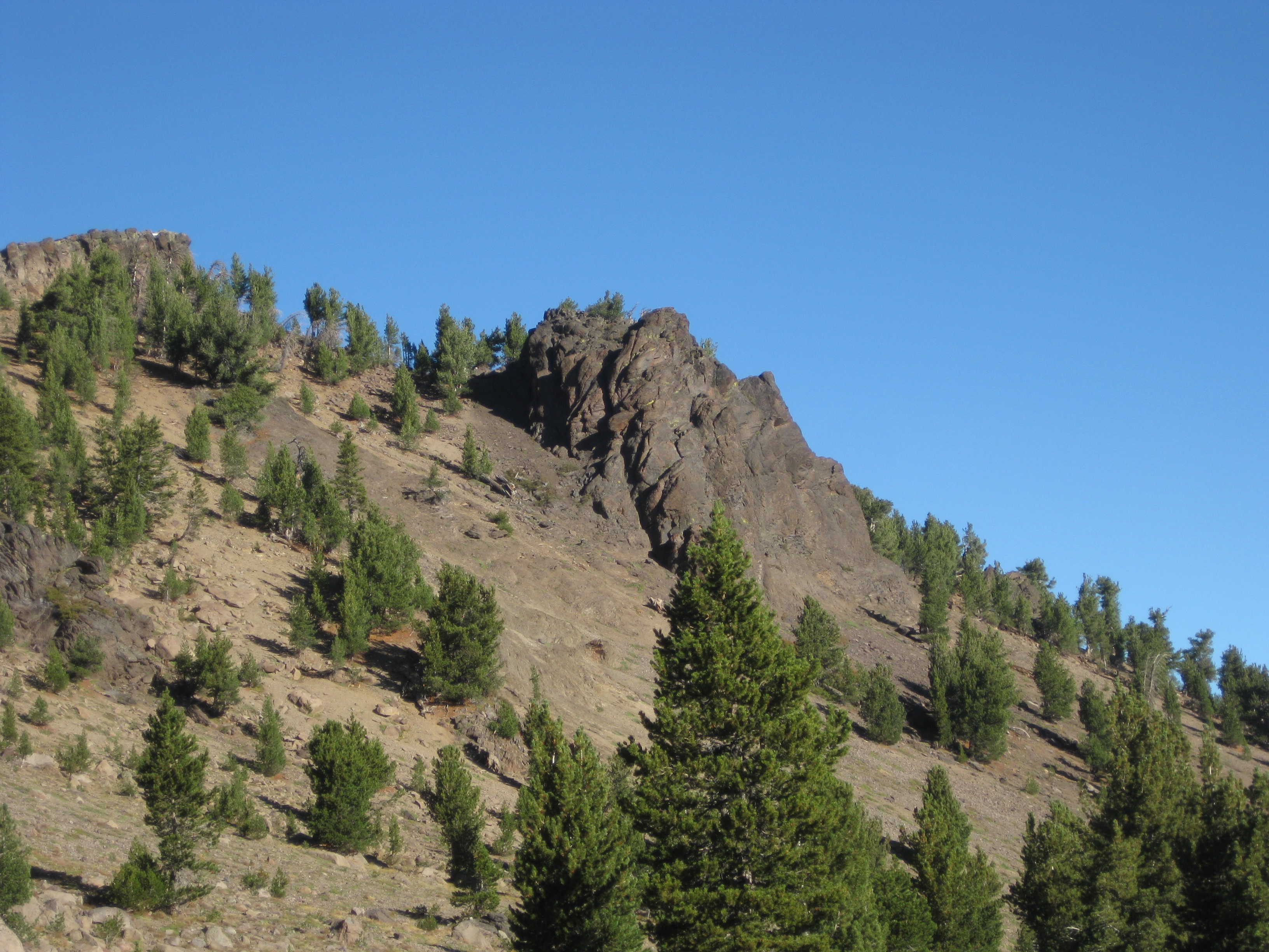
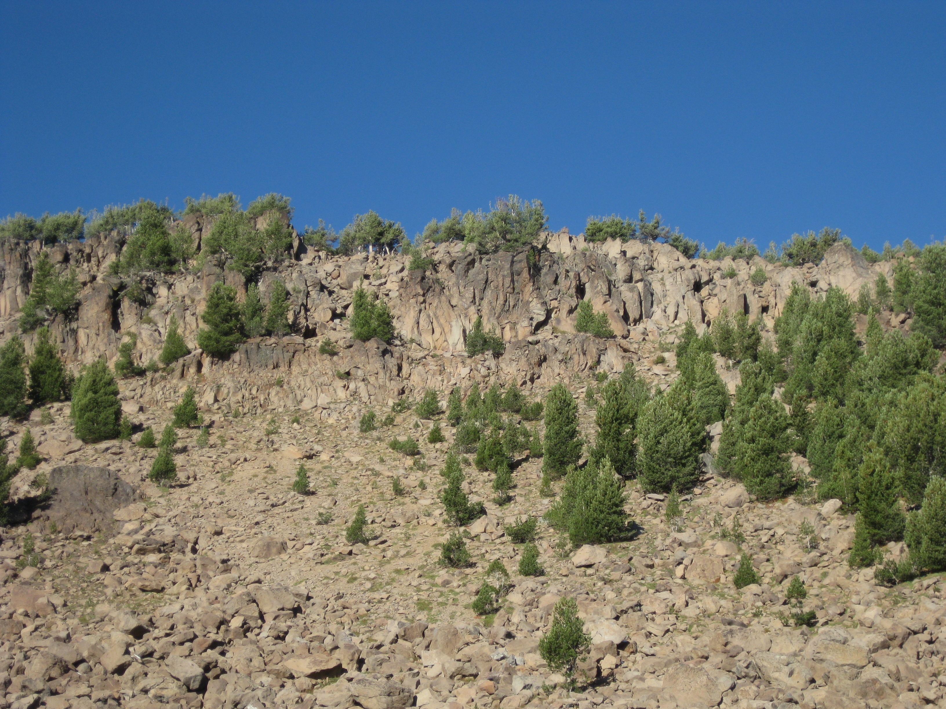
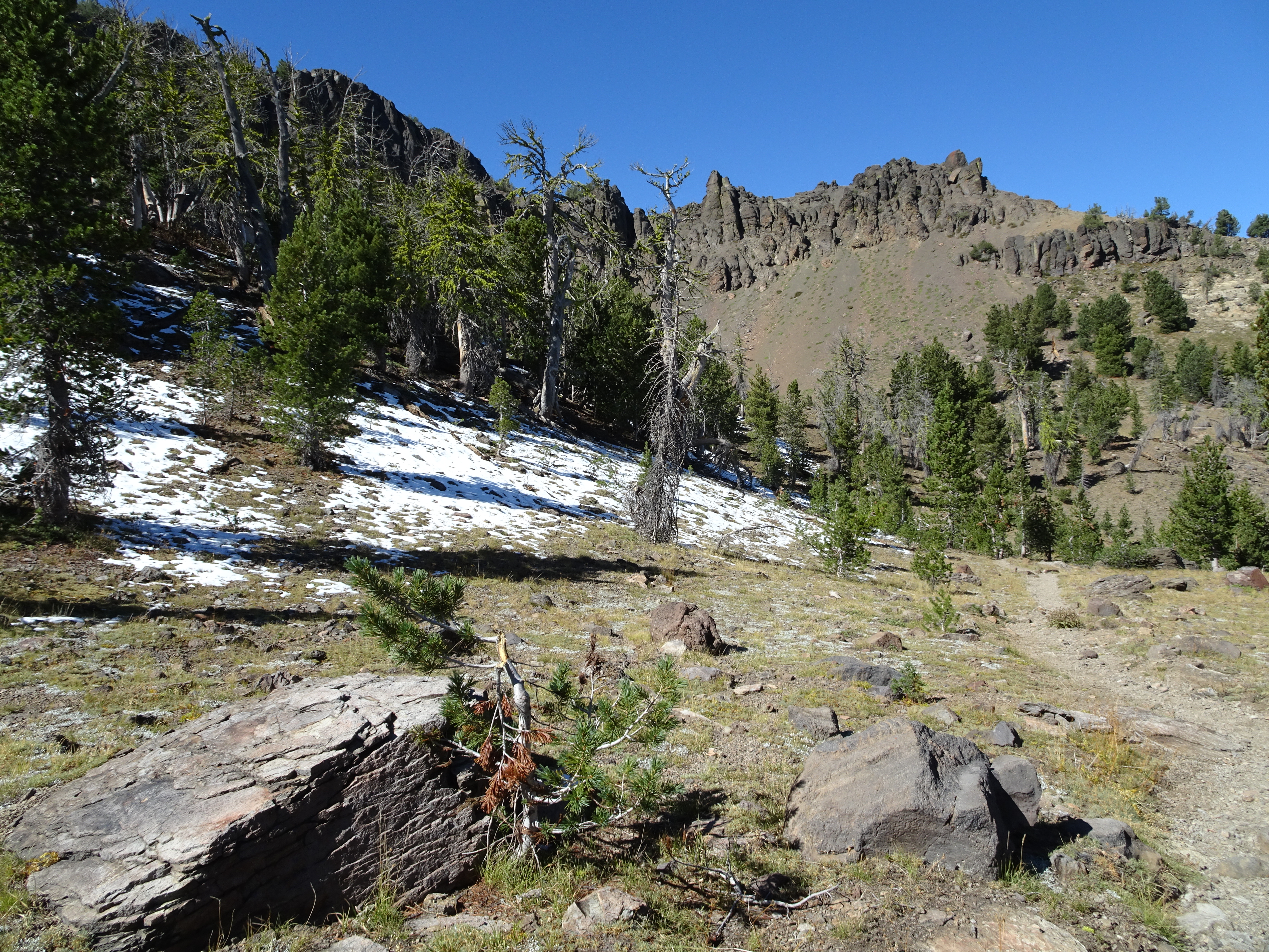
However, near the lake were rock formations forming cliffs below the ridgeline that were quite impressive.
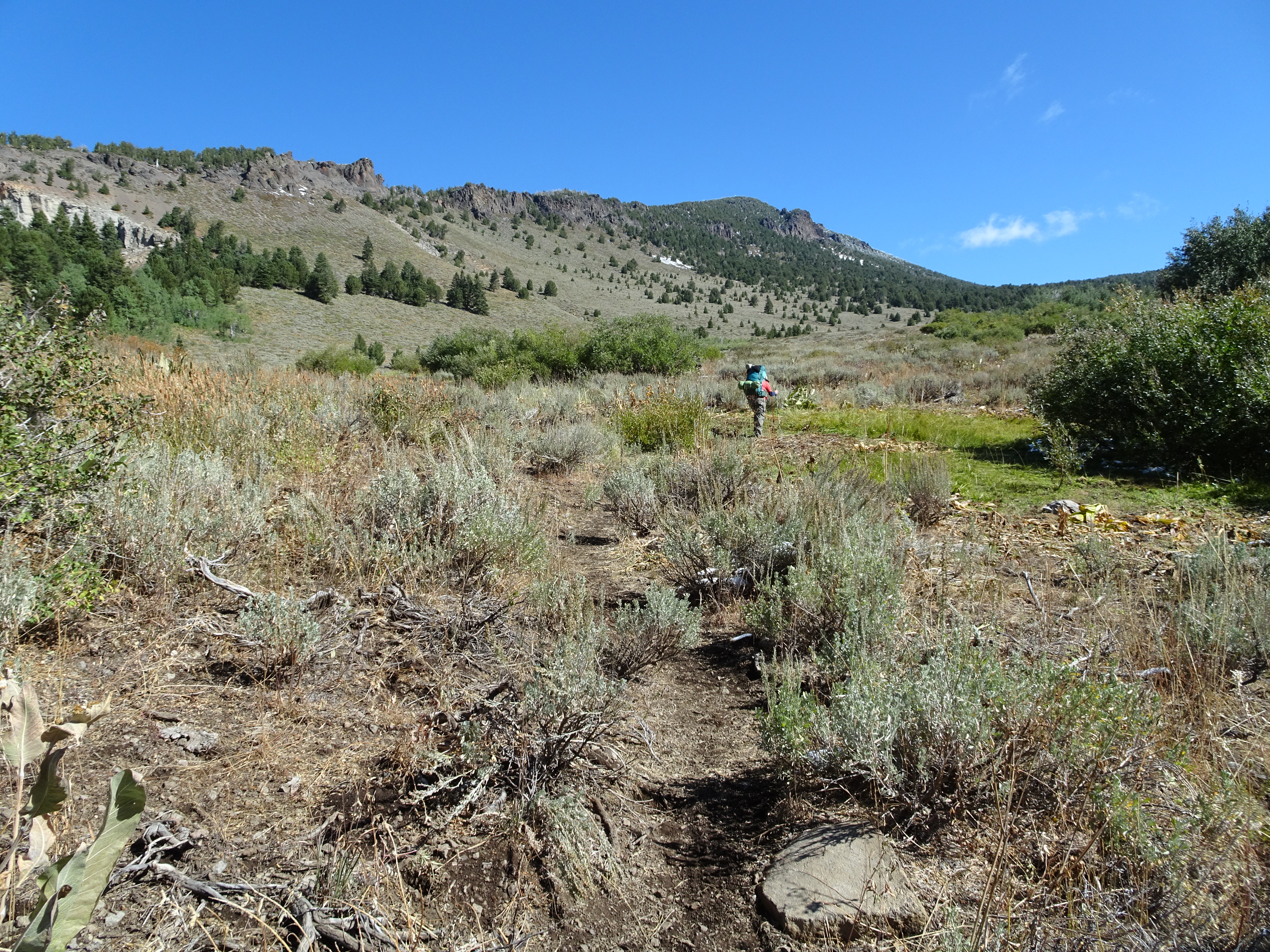
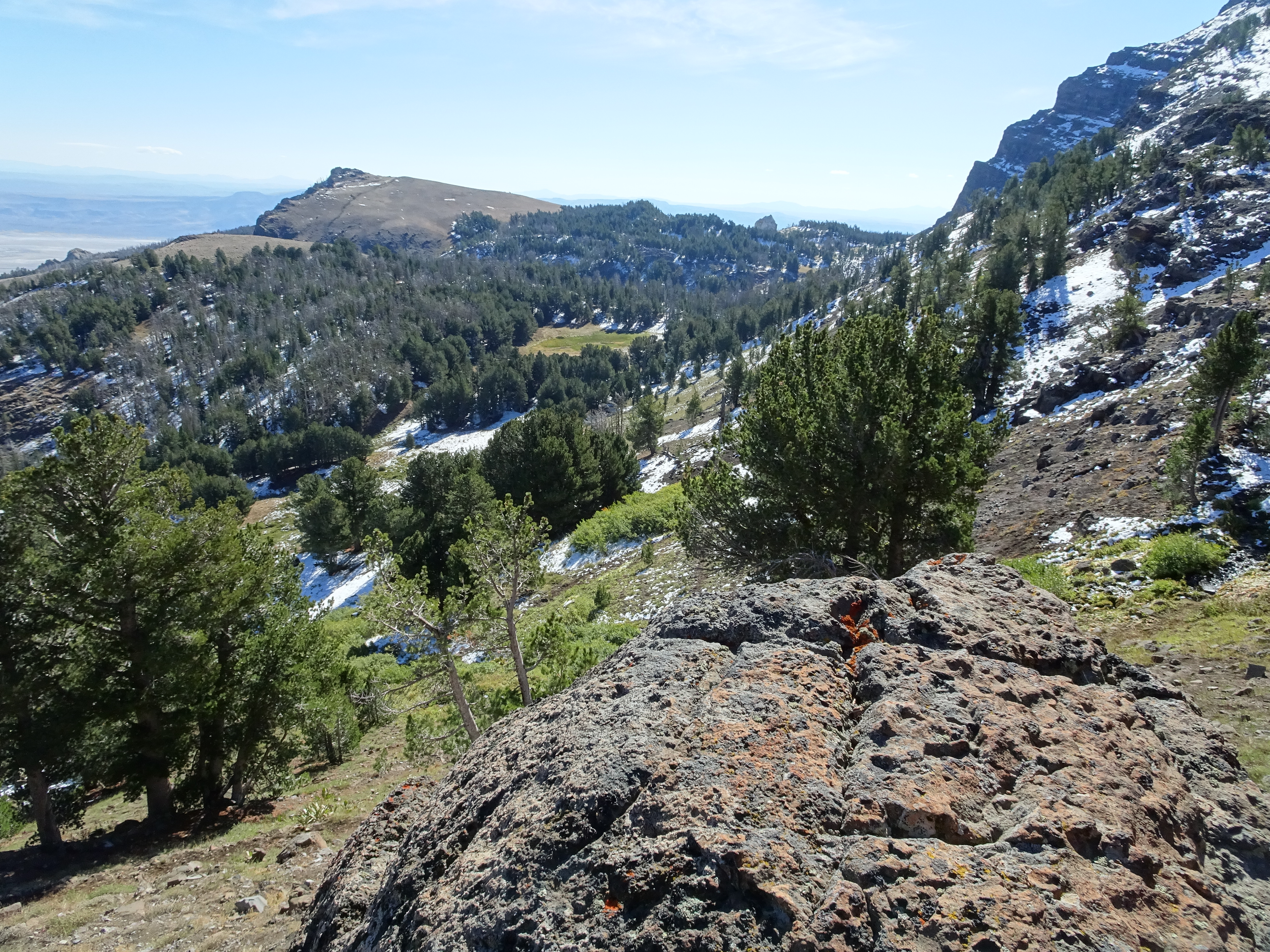
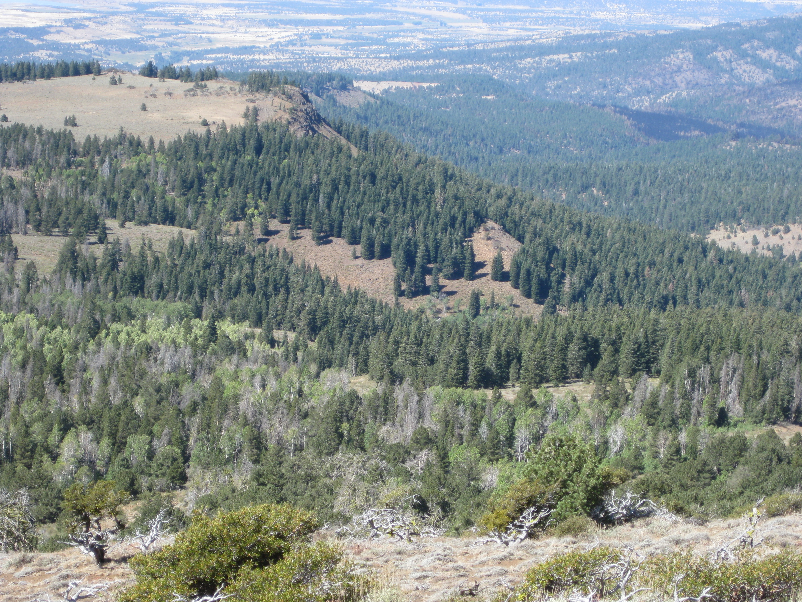
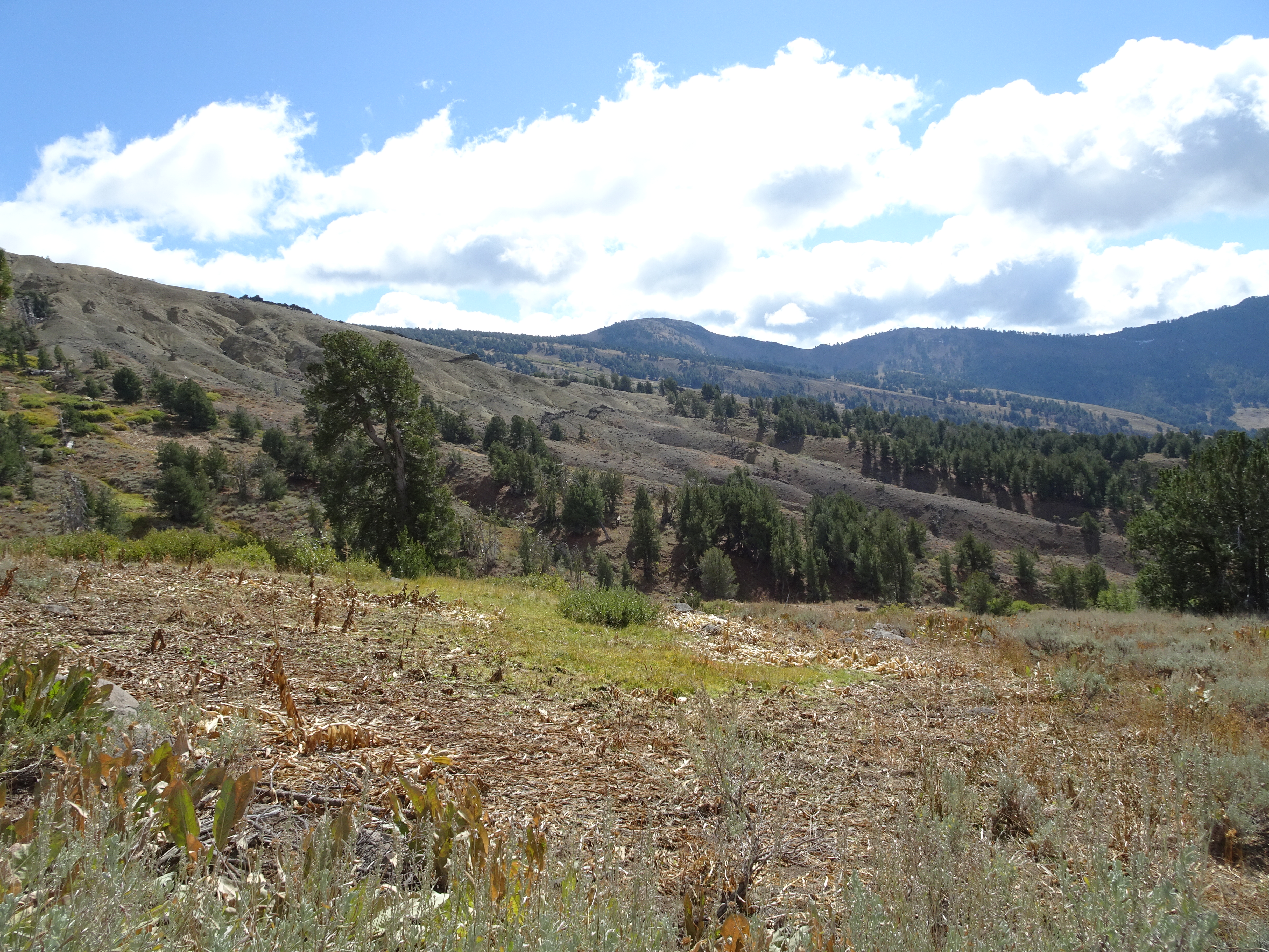
The trail eventually led along a ridge overlooking Cottonwood Basin.
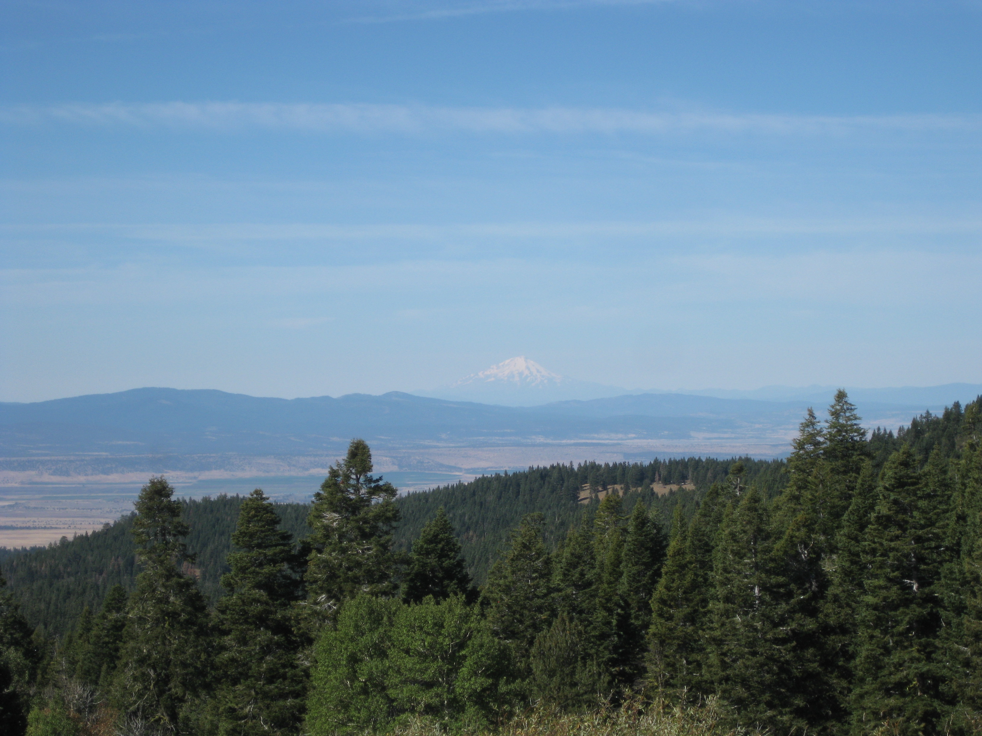
Then to a place where we could see Mt. Shasta. No matter what settings Bob used on his camera, the clearly visible Mt. Shasta would not show up well in the photo. But Reenie got nicer ones.
We could go to the edge of ridge, look down on Cottonwood Basin & Owl Creek Canyon.
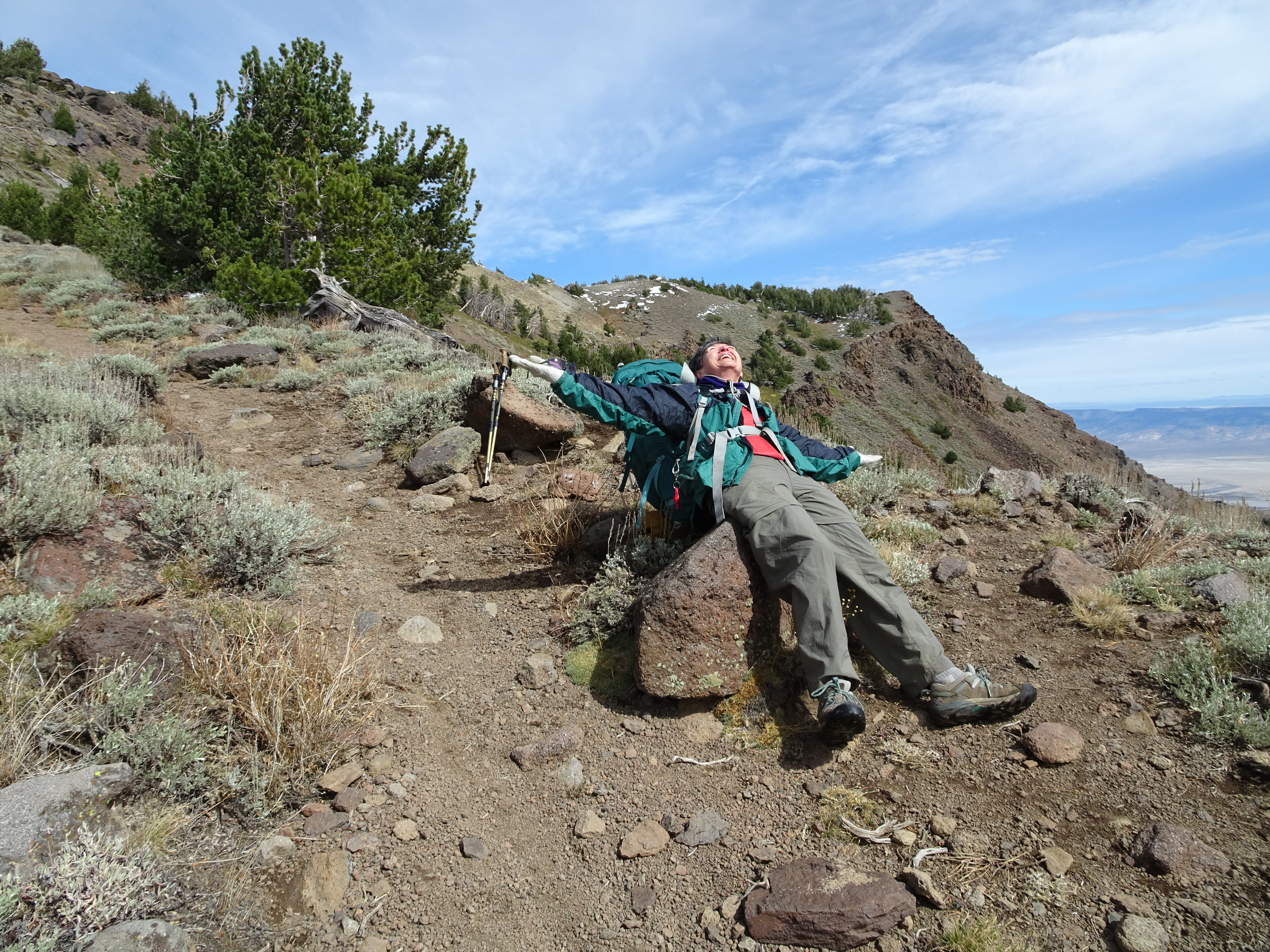
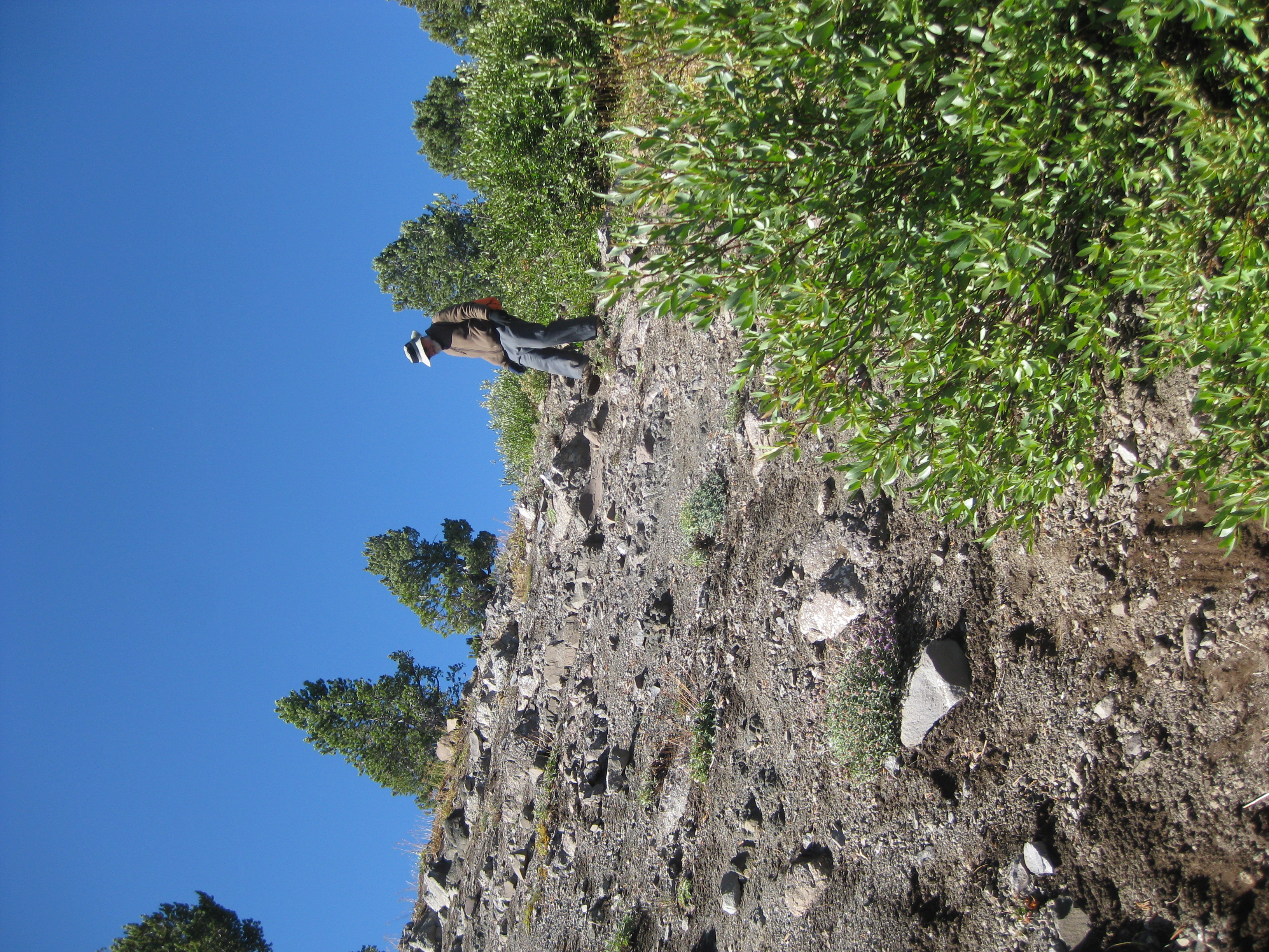
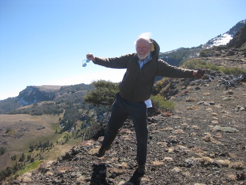
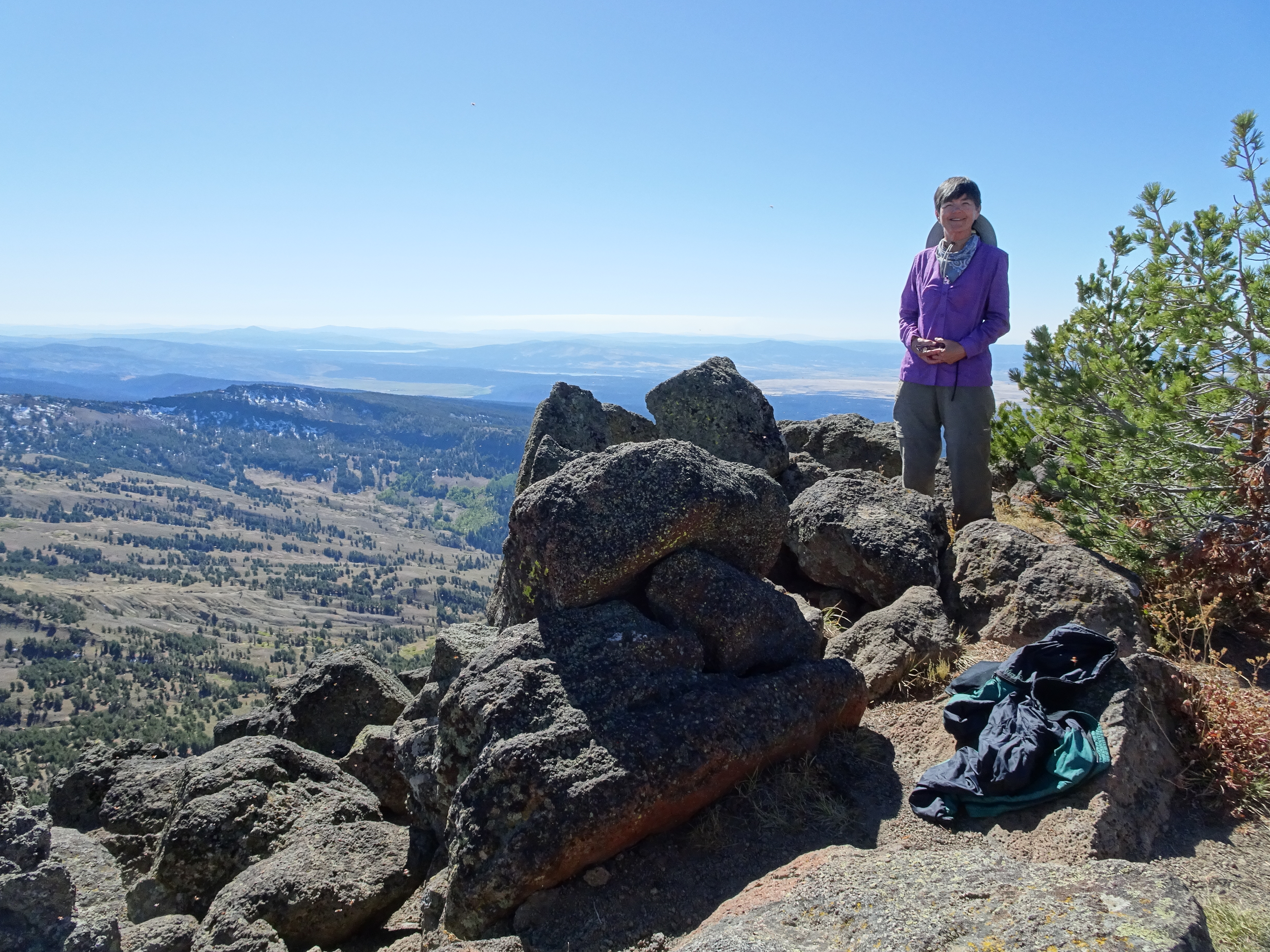
Wind was strong on ridge edge (as demonstrated below by Bob), but if we stepped back even 10 feet the wind died away.
Ate lunch, then headed back.
Shortly after we arrived at camp we saw another lone backpacker arrive & he went around lake and we did not see him again.
At one point in particular on hike we saw many birds (probably jay birds & mocking birds) flying around, pecking on branches, cracking nuts, etc.
Also on trail after Cottonwood Lake we saw 7 - 10 cows near trail laying down. They got up & left as we approached.
Back at camp Reenie washed her hair & Bob washed his very dirty socks.
Beautiful moon. Returned to tents & slept.
Day 9, Thursday, September 28
Day hiked about 3.5 miles to the top of Warrren Peak and around to our camp. (net elevation gain = 0'; total uphill 1,165').
Elevation Profile (understates distance):
Dinner: Spanish rice, black beans & corn, tomatoes, onions, red bell pepper, chili seasoning (fajita seasoning).
Woke up to another blue sky, sunny day that turned into the warmest day yet.
Another clear, blue, sunny day.
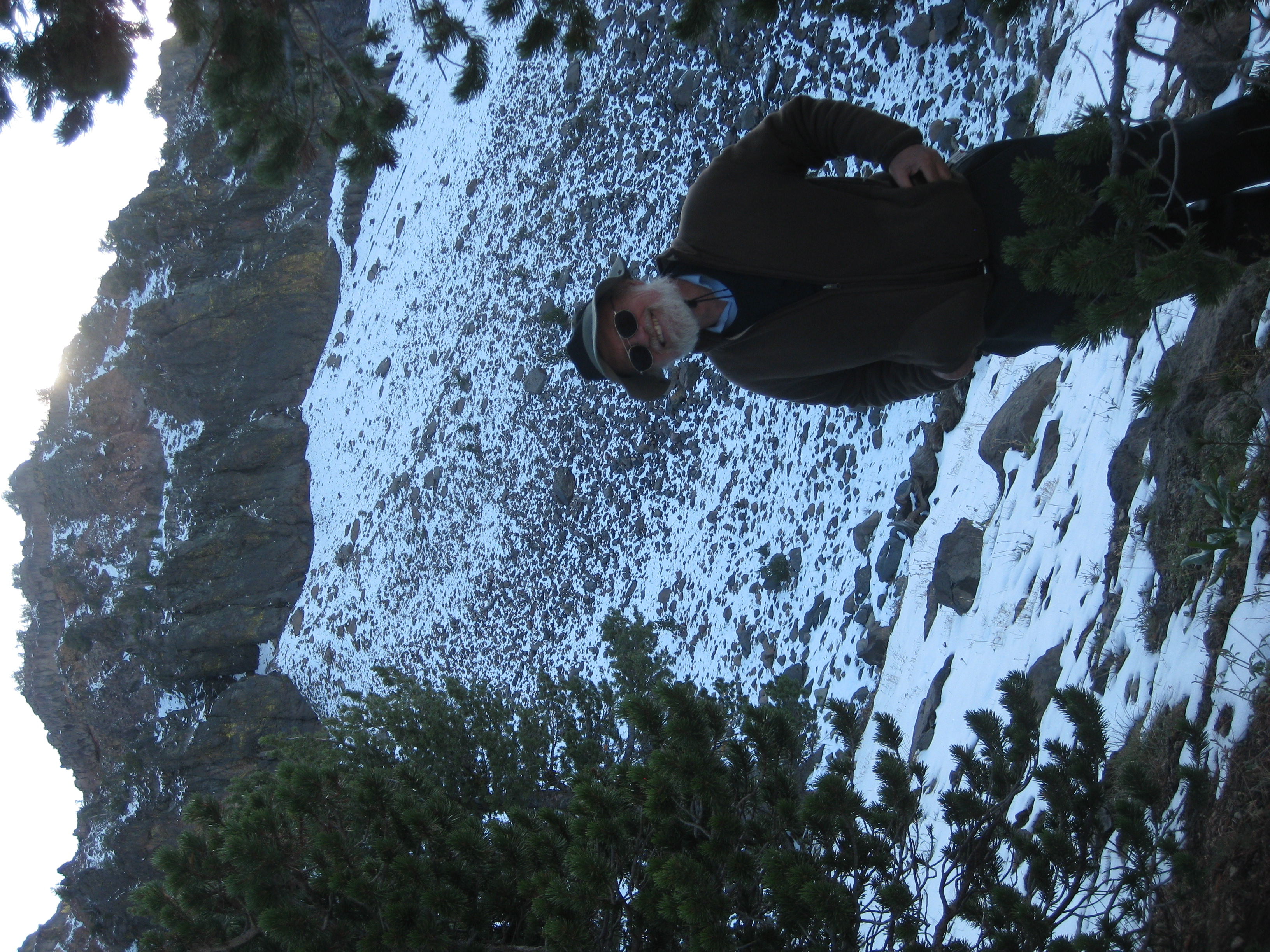
After breakfast headed over to slope/scramble leading up to ridge that leads to Warren Peak from northern end of lake.
Saw no sign of camper/backpacker we had seen yesterday afternoon.
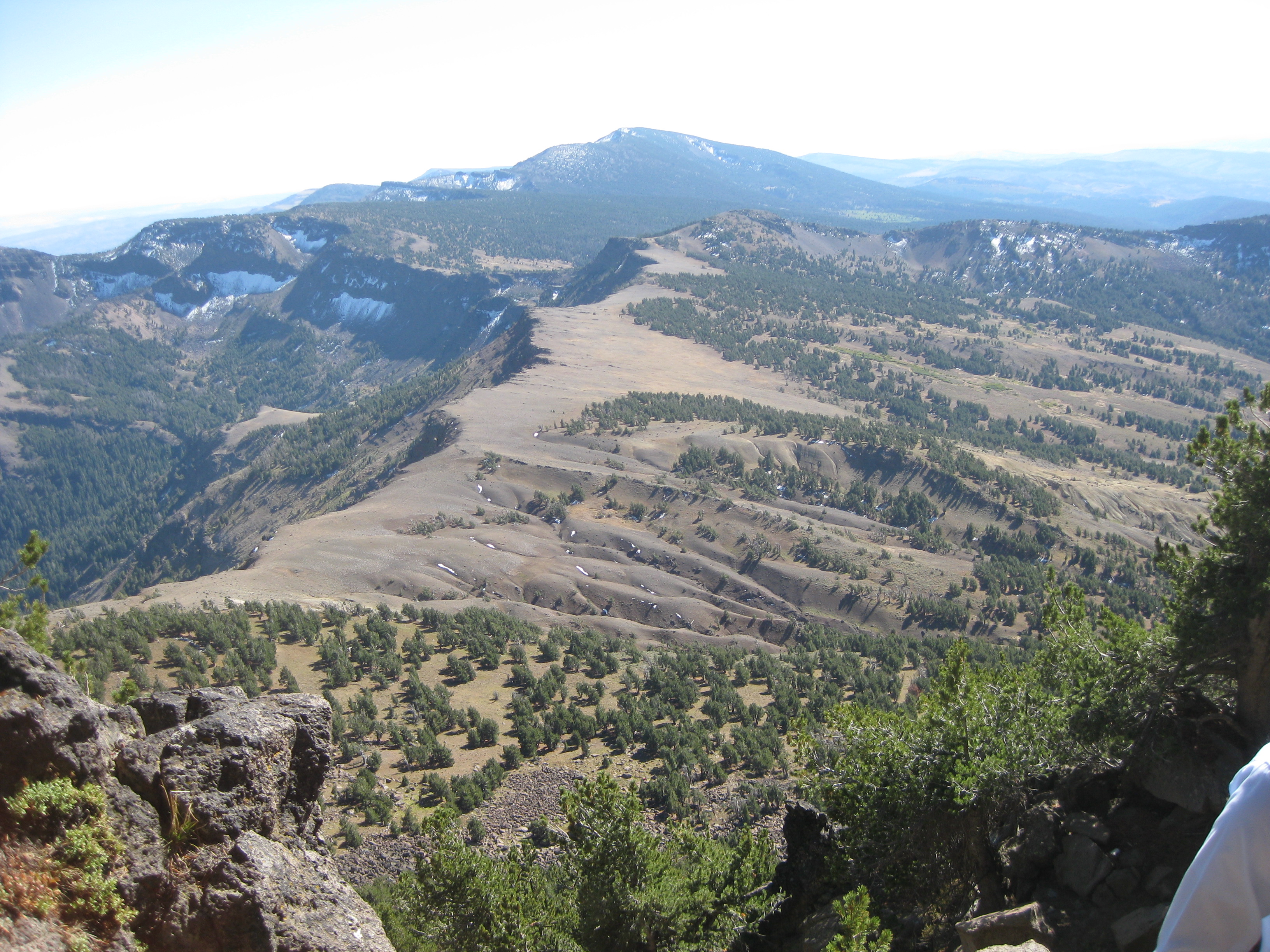
Spectacular views along ridge as we climbed to Warren Peak.
For a few moments got phone reception but then went away for good before we could send message.
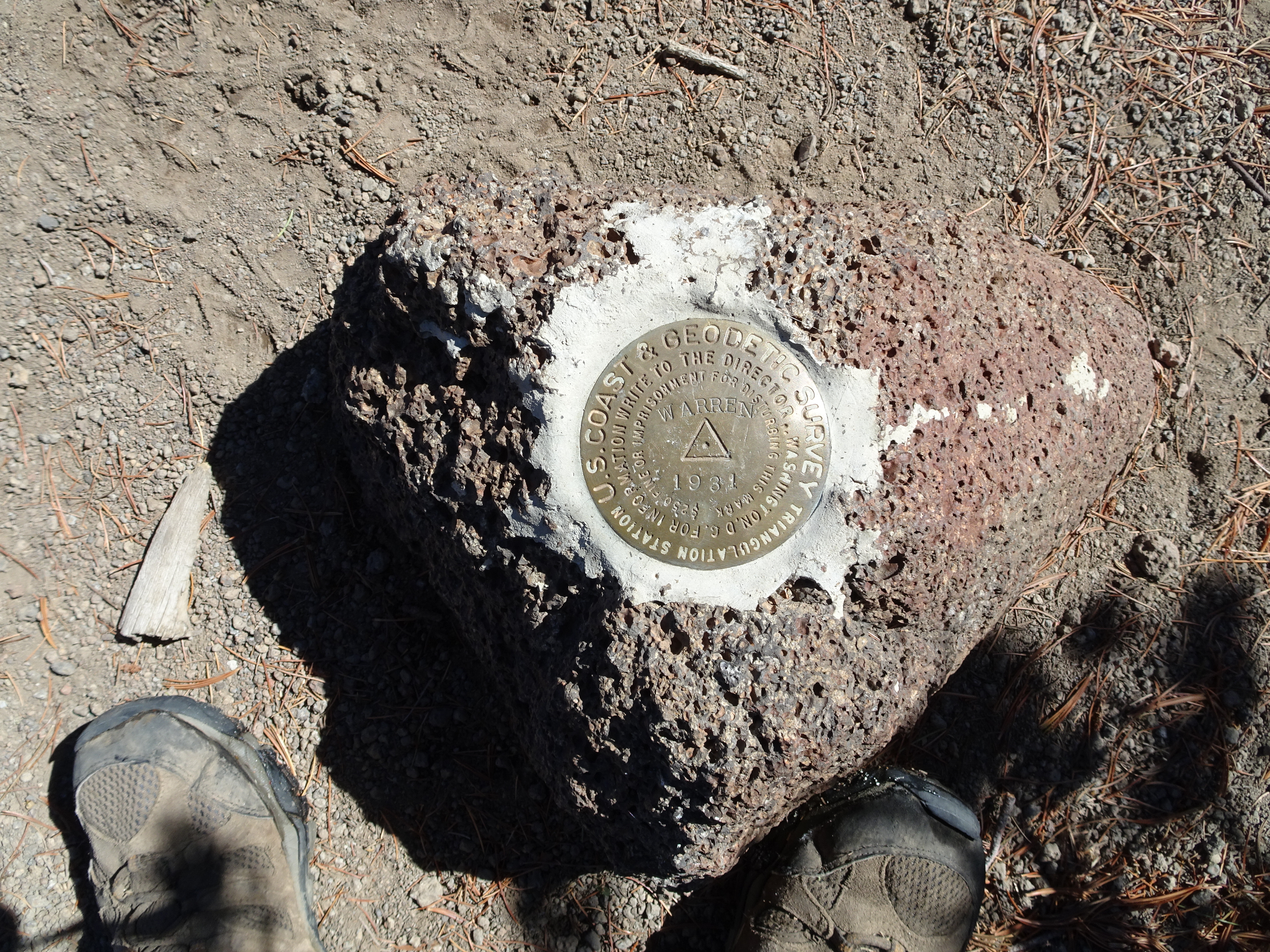
Got to Warren Peak at 1 PM, guarded by literally 100's of lady bugs.
Found Peak Forest Service Marker
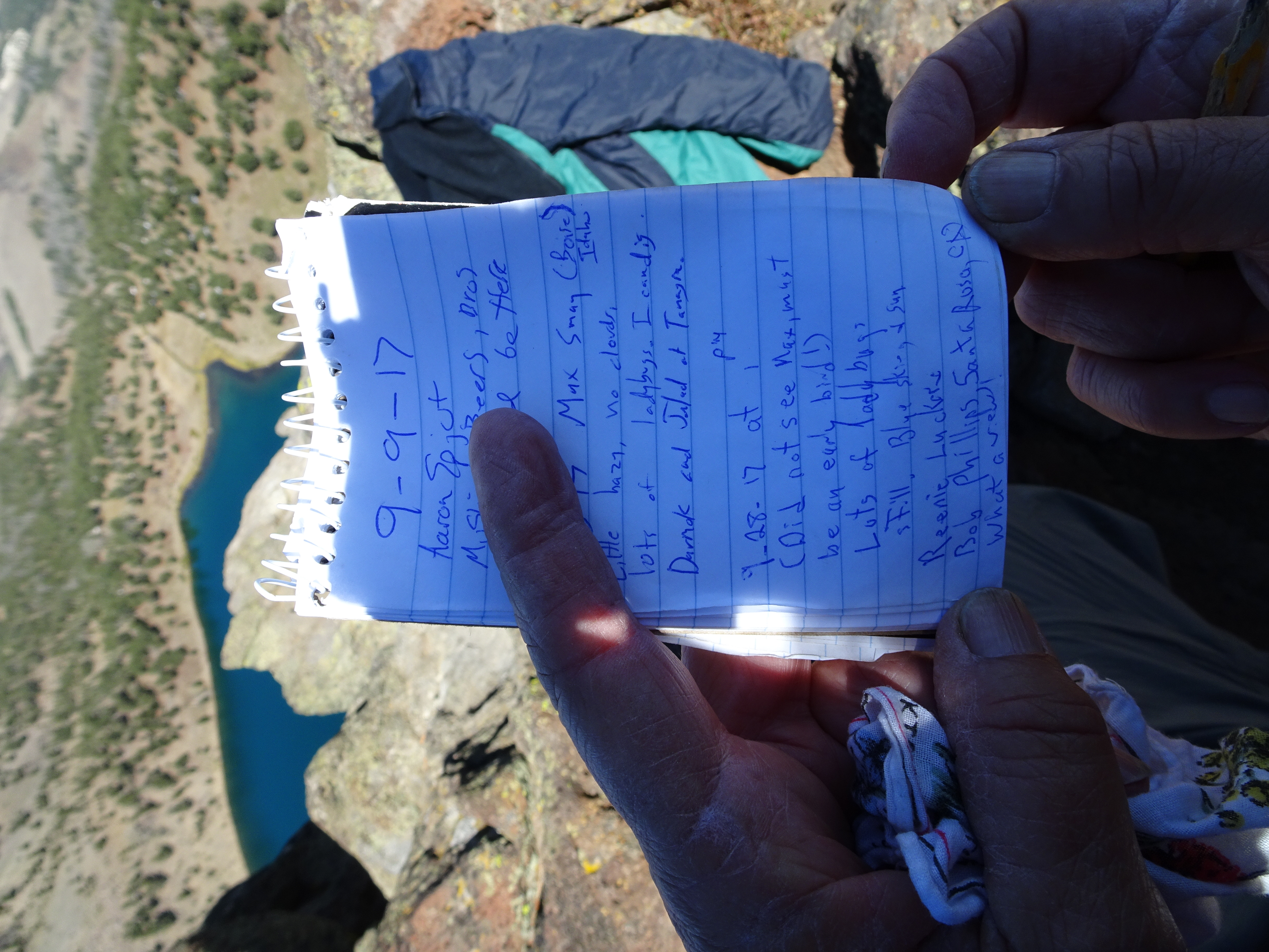
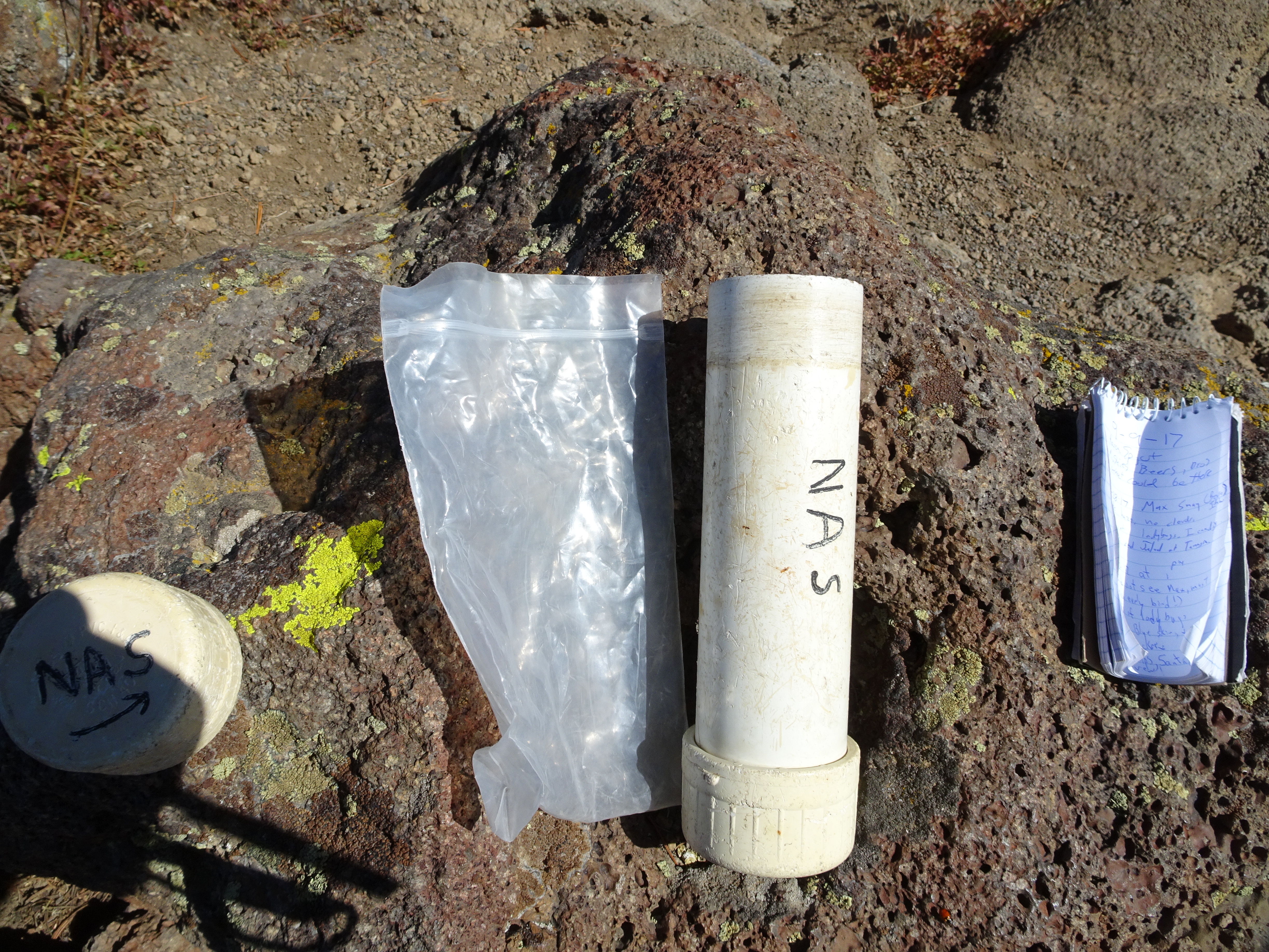
Also geocache which showed our yesterday backpacker had come up from south and left before us. We signed log.
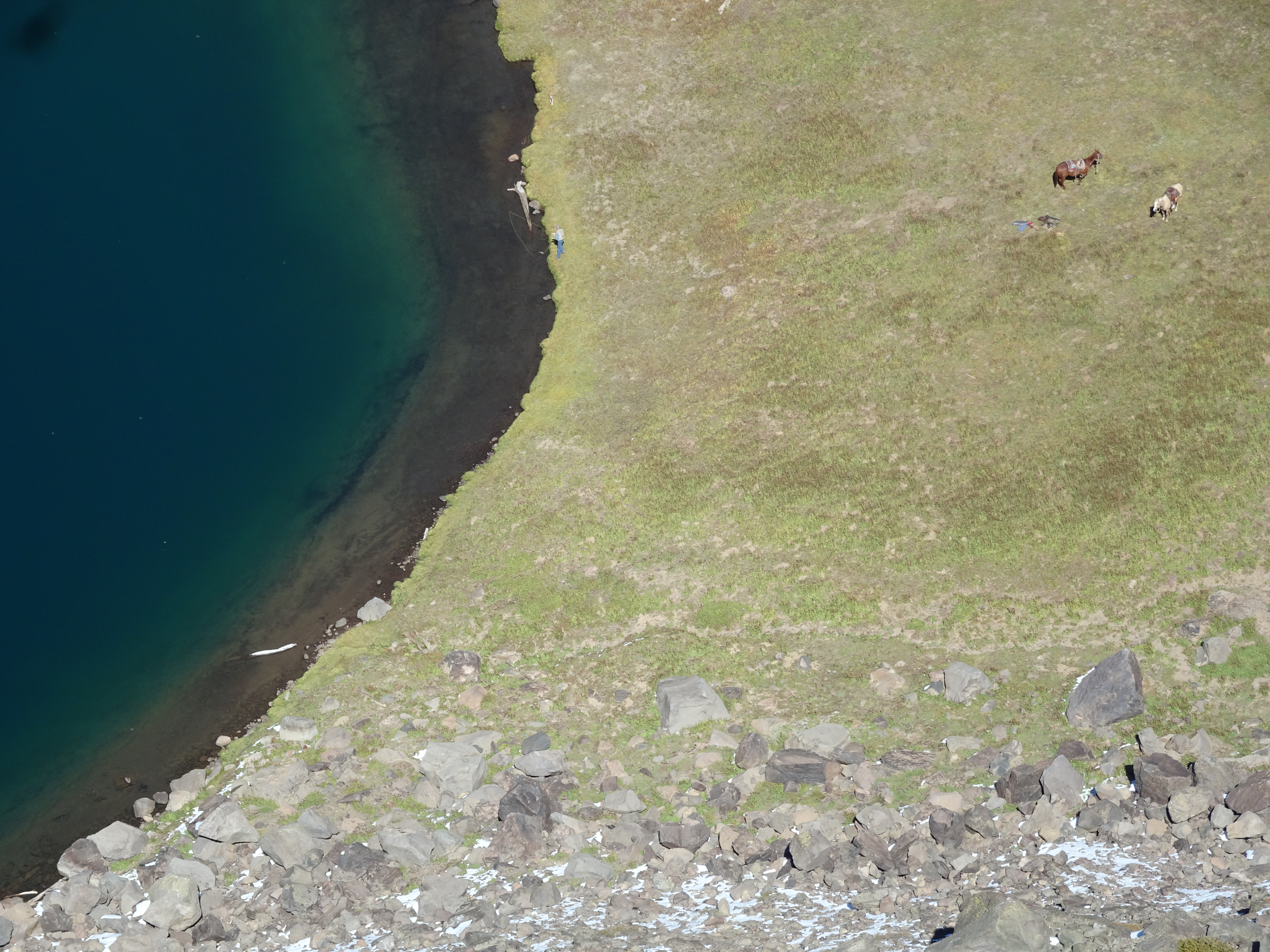
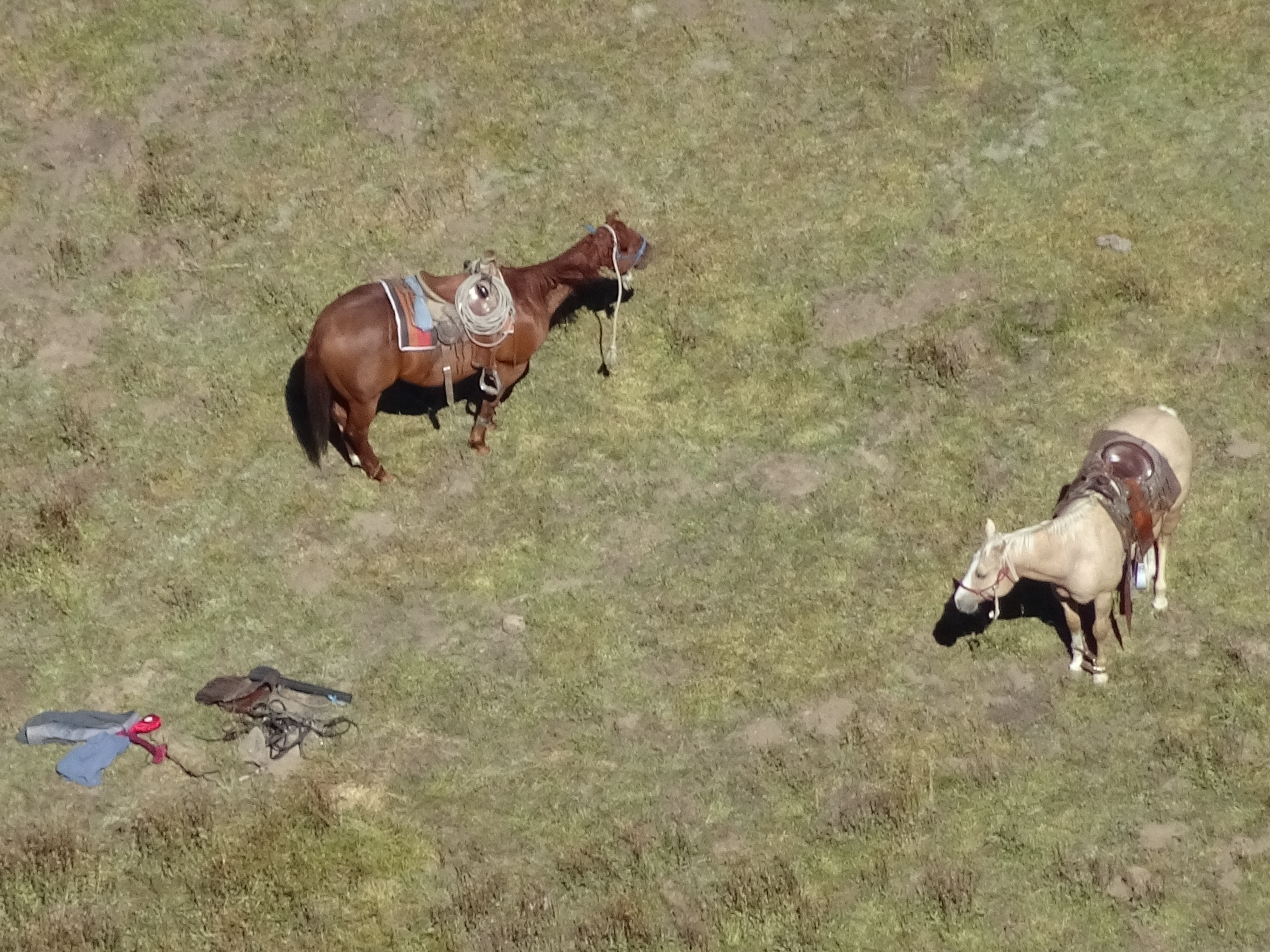
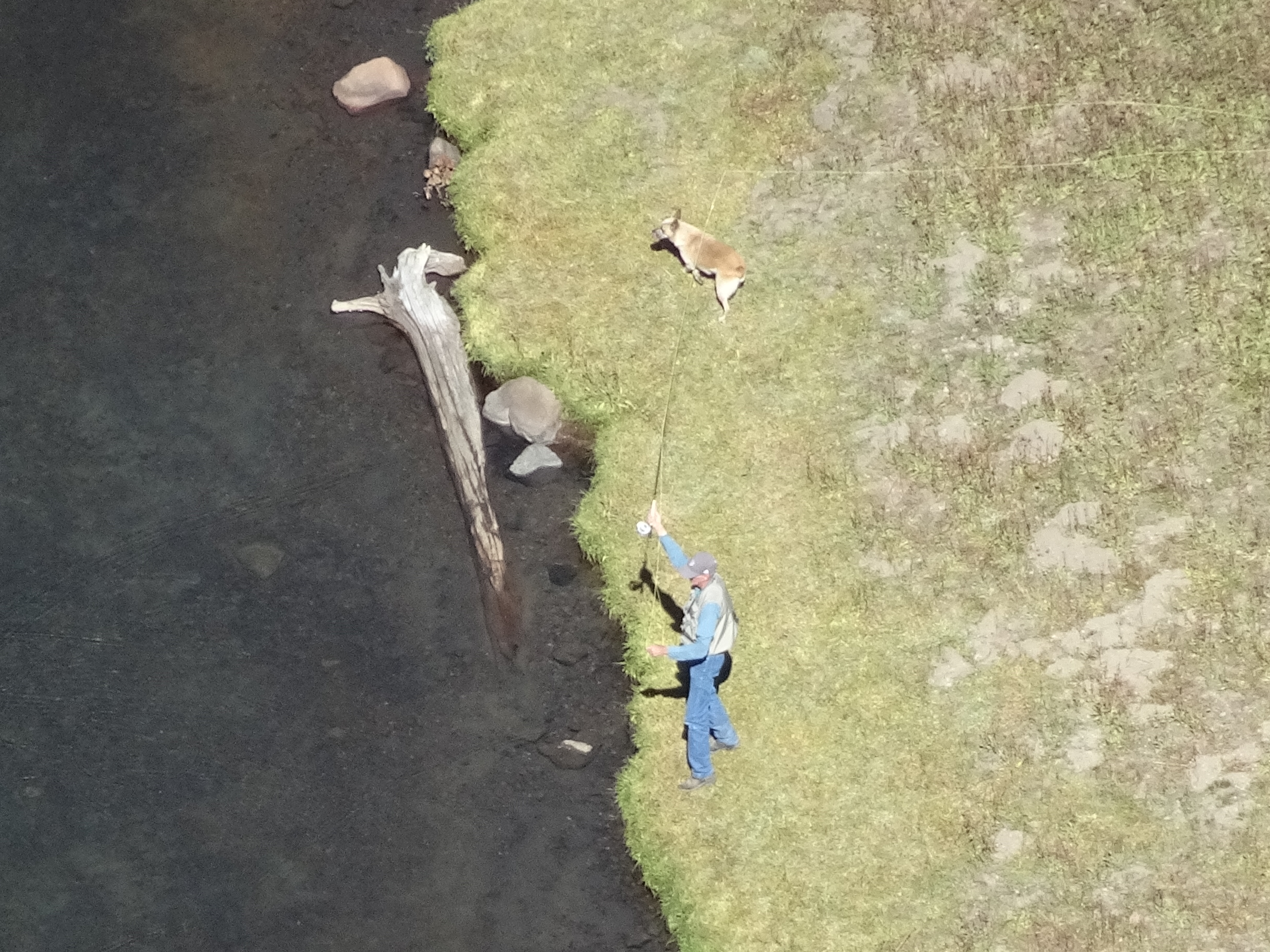
Took pictures of 2 horseback riders & dog far below at lake, then ate lunch on Warren Peak.
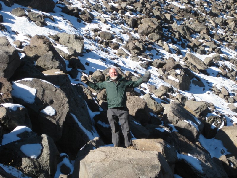
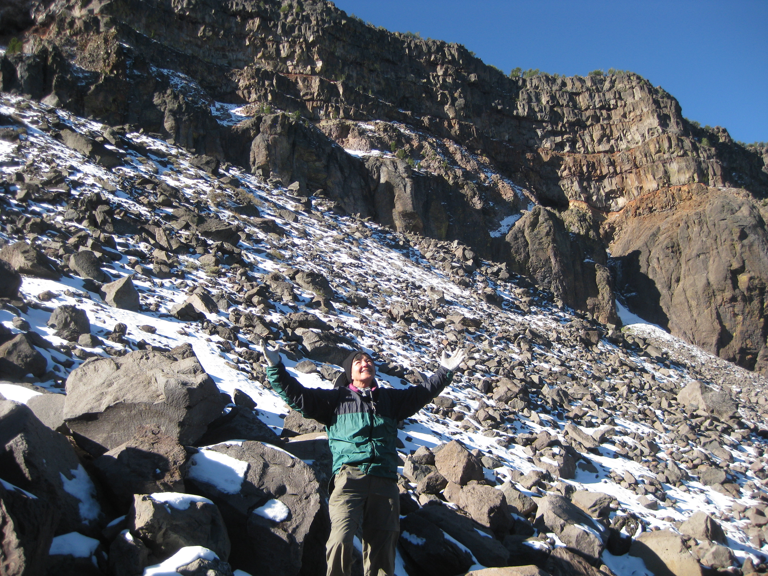
Rather than return way we had come, we continued heading south and did some rock climbing/scrambling to get down (also see 5th and 6th photos at top of page).
Finally made it cross country/no trail to Summit Trail where we had come up 4 days before.
At pass met backpacker who told us weather would get cold but clear Sat.
Went down to lake, met 2 horseback riders who had tried unsuccessfully to fly fish and told us possibly stormy weather would arrive on Sat.
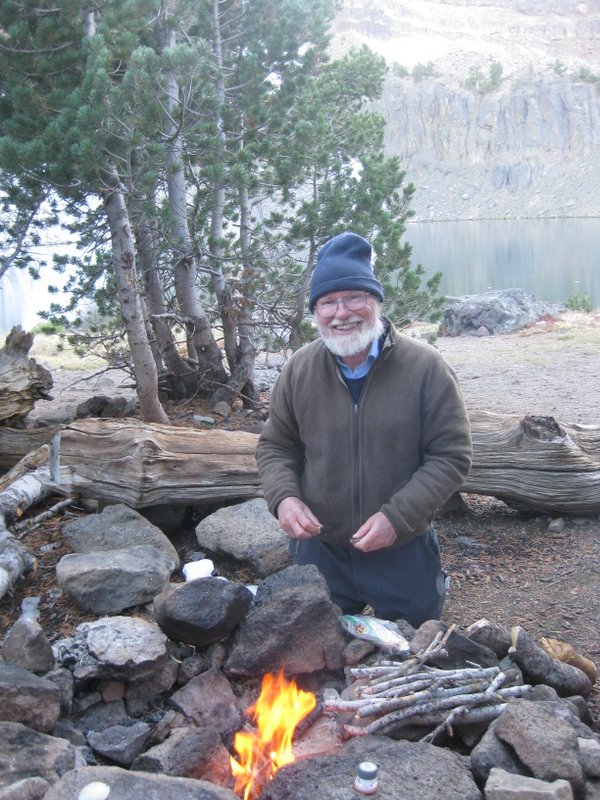
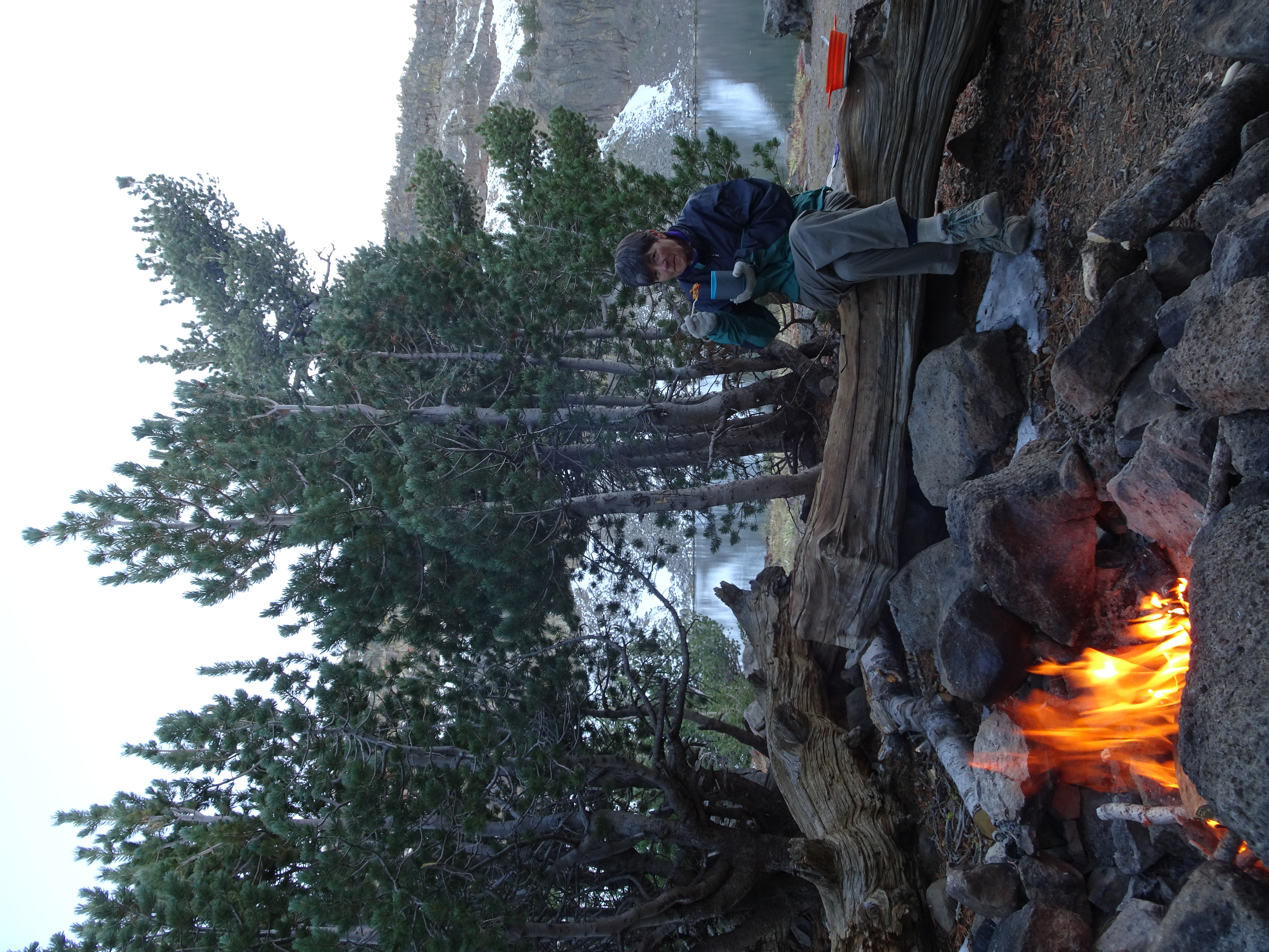
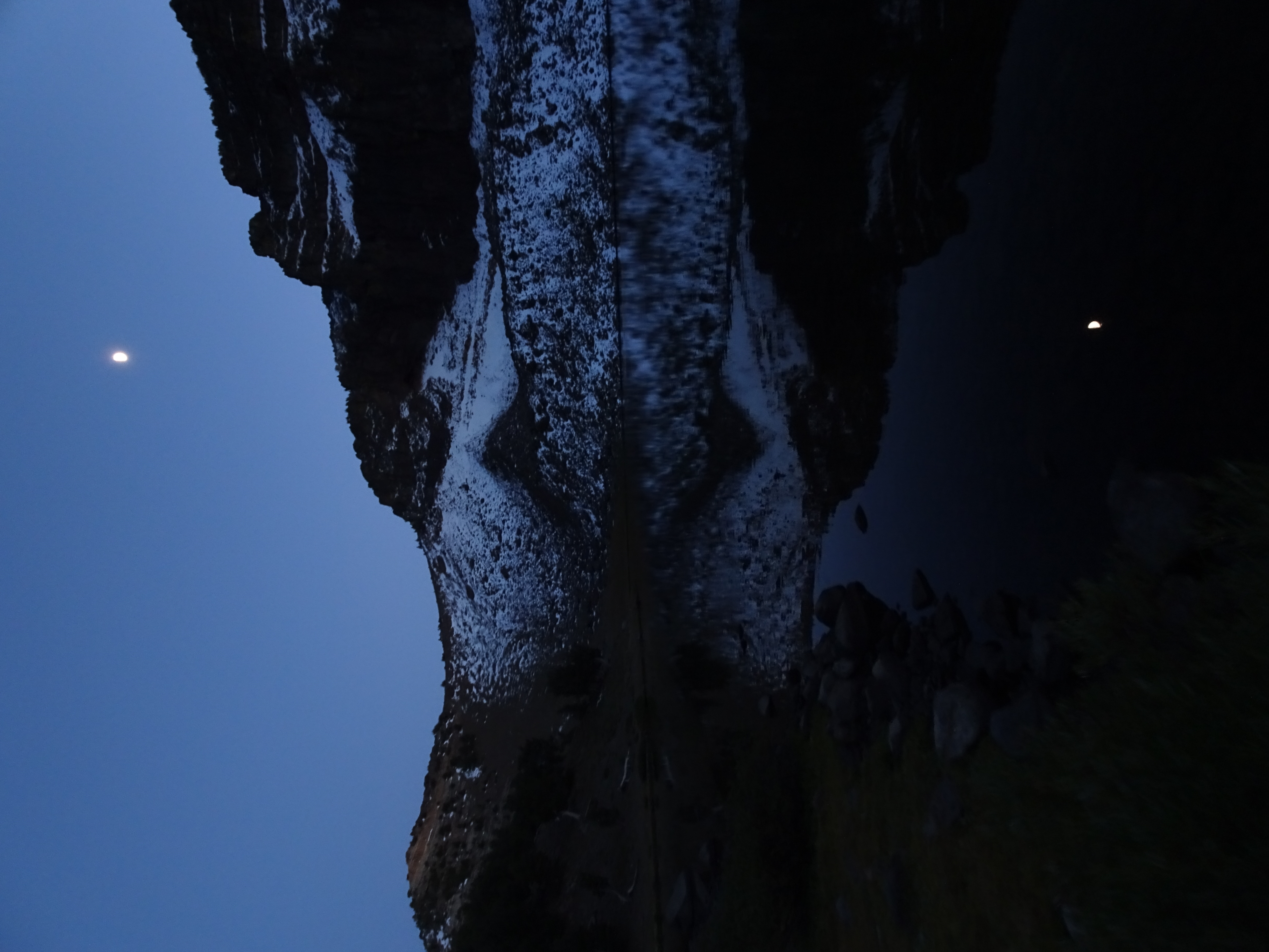
Made dinner & campfire & walked on lake shoreline with moon reflected in calm lake.
Cleaned up, ate dinner
Day 10, Friday, September 29
Day hiked about 7 miles south and back to a small peak on the Summit trail. (net elevation gain = 0'; total uphill 1,920').
Elevation Profile (understates distance):
Dinner: Couscous w garlic; tomatoes, red & yellow peppers,
green beans, Japanese eggplant, onion, fajita seasoning, pinto beans
Diary:
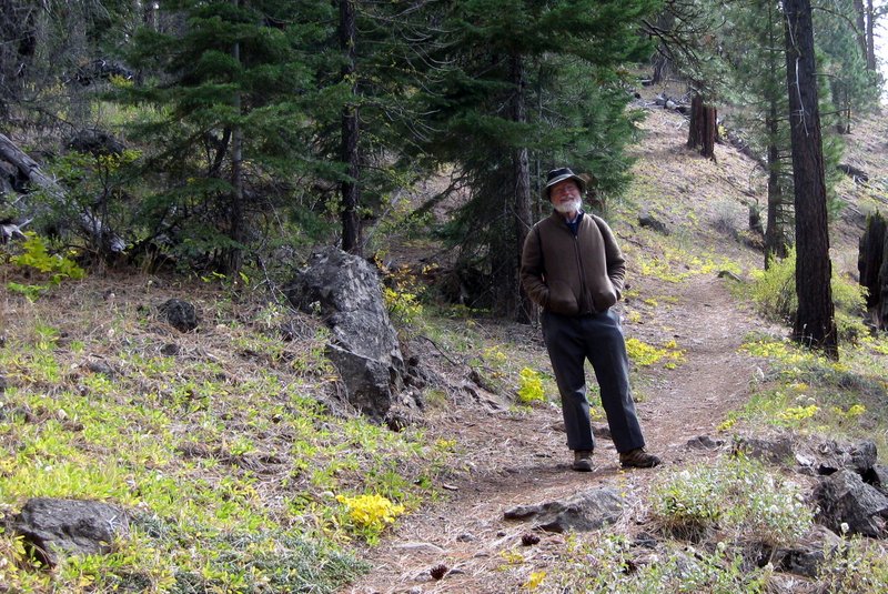
Bob got up early to take pictures.
After breakfast went for day hike south on Summit Trail.
Morning at lake was overcast and windy.
Hiked ~3 miles south seeing all of Pine Creek Basin from above.
Climbed highest peak above Pine Creek Basin.
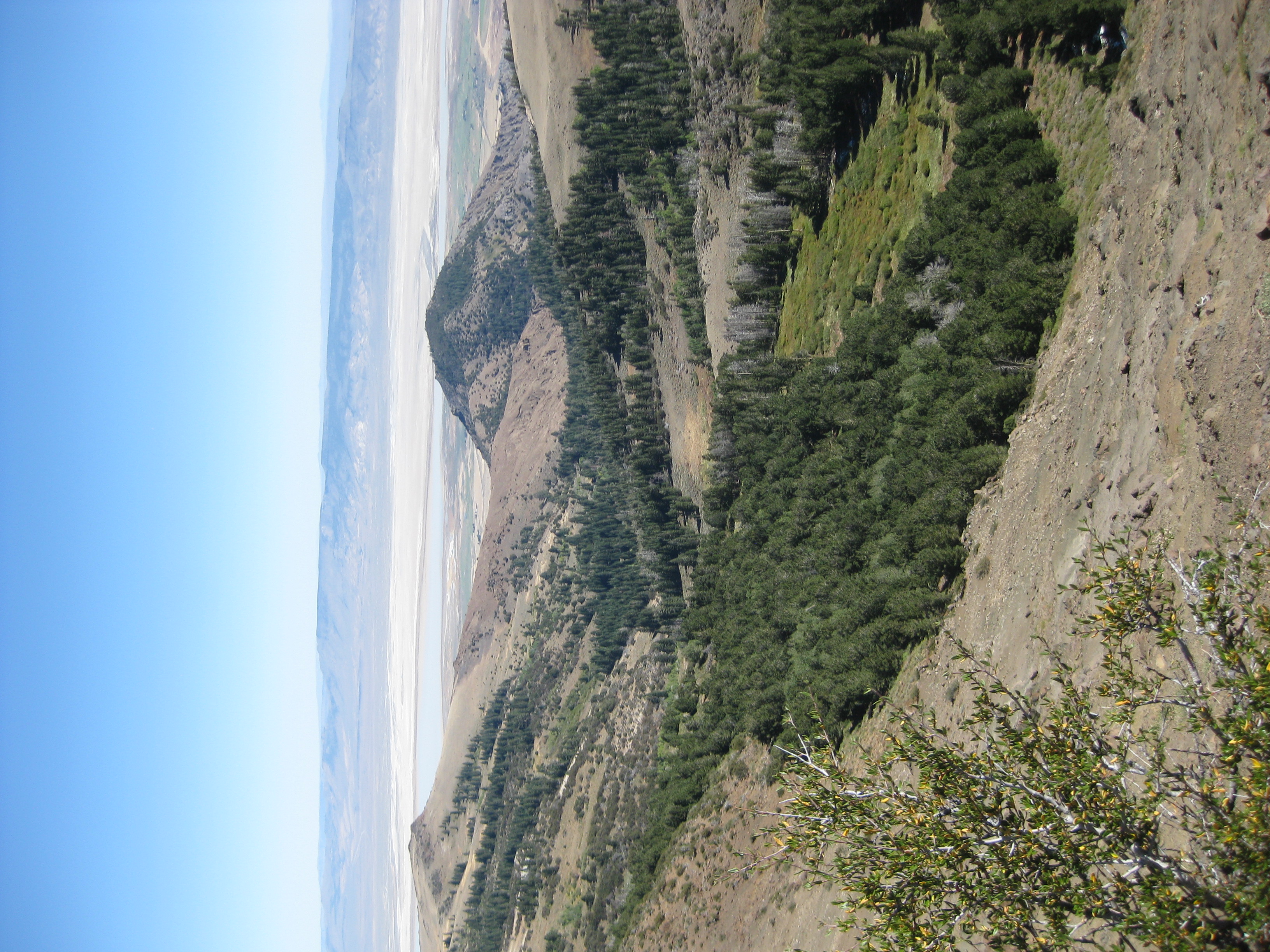
On eastern side we saw upper, middle, & lower Alkali Lakes and into Nevada.
On way back as we approached Patterson Lake met day hiker with no pack, no coat, Andy Shapiro, an aerial photographer who lives in Santa Rosa.
He went down to Lake Patterson ahead of us then turned back and met us.
On the one hand, he was in hurry to get back before dark because now it was 4 pm.
On other hand talked a lot about movies like Pulp Fiction, Blue Jasmine, & Looper. I had relayed the story of Pulp Fiction to Reenie the previous day but could not remember movie name.
We got back to camp and found cows grazing next to lake.
Ate dinner, went to bed.
Day 11, Saturday, September 30
Backpacked about 10 miles back to the Pine Creek Trailhead, then drove the car to Mill Creek Campground. (net elevation gain = -2,165'; total uphill 541').
Elevation Profile (understates distance):
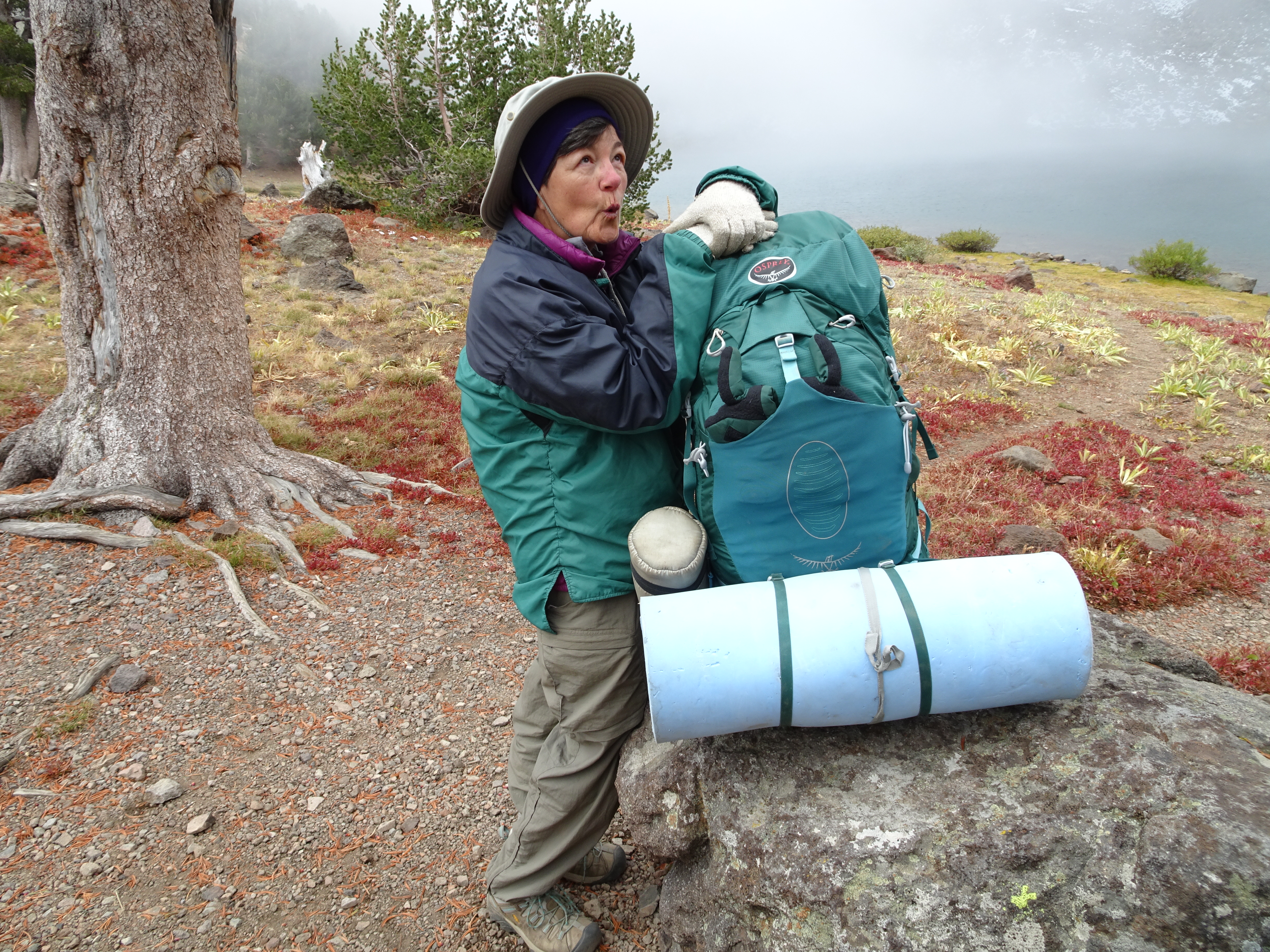
As a measure of how well Bob and Reenie are getting along and how accepting Reenie is of Bob's suggestions, Reenie re-arranges her gloves in her backpack.
Diary:
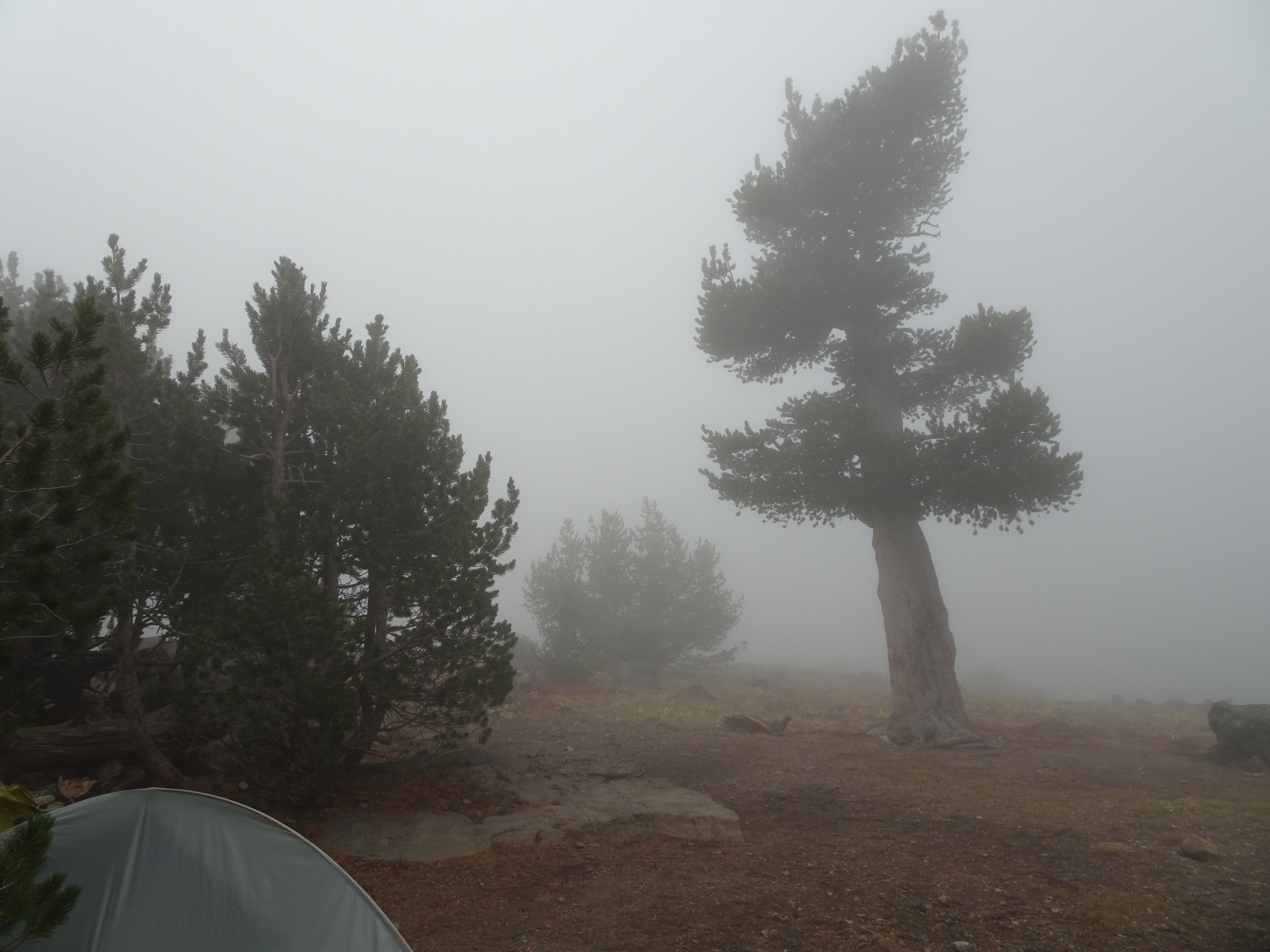
Woke to very thick fog.
Packed up camp after eating breakfast.
Hiked to pass above Patterson Lake and fog cleared up.
A beautiful day & easy, fast hike down Pine Creek Trail to trailhead. Hiked from 11 - 2:30.
Drove south to Likely, a small town with most closed except for General Store & Saloon.
Bought local honey at General Store & found out good weather for Sunday.
Sent text to Shirley & Bill.
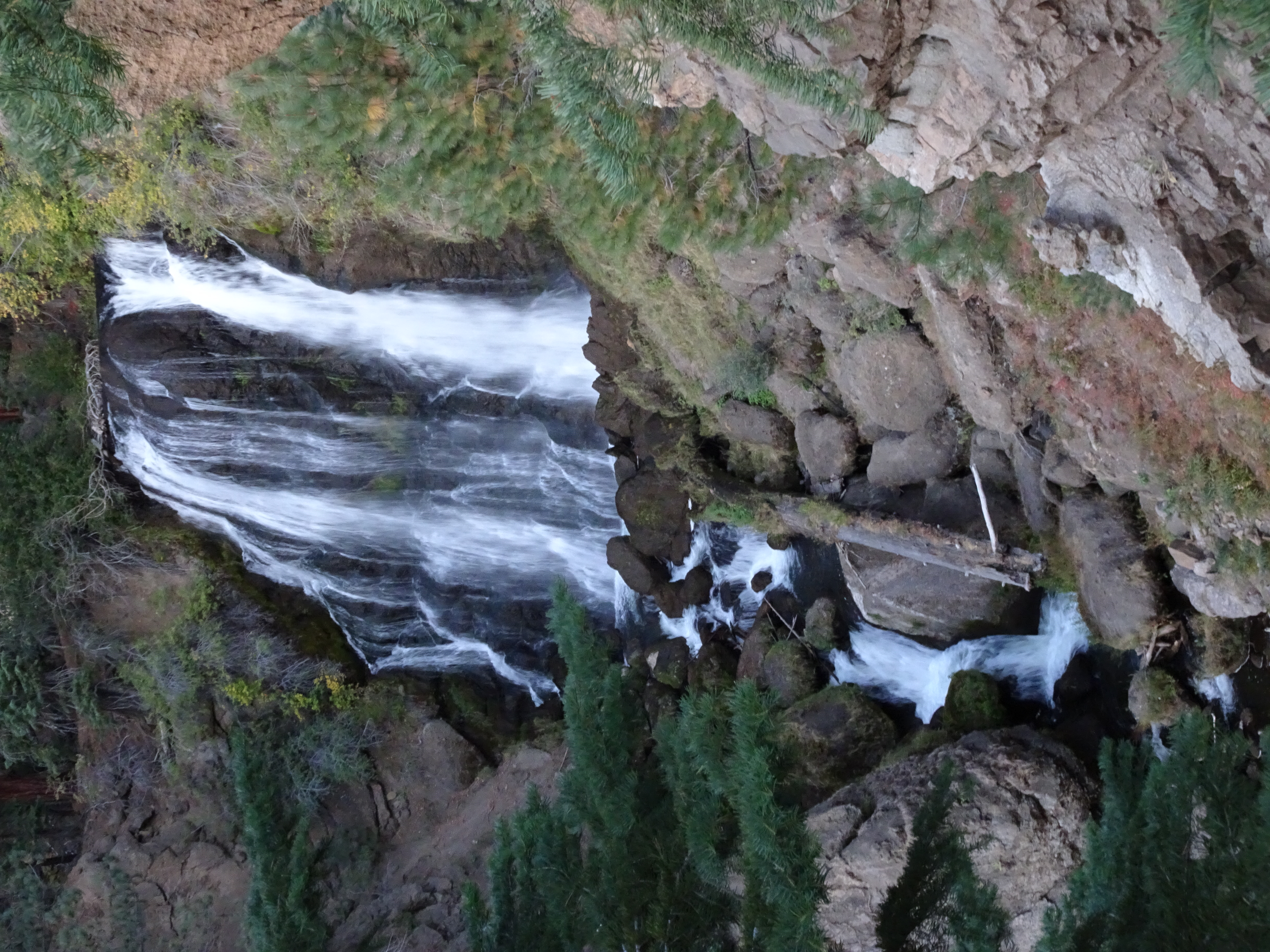
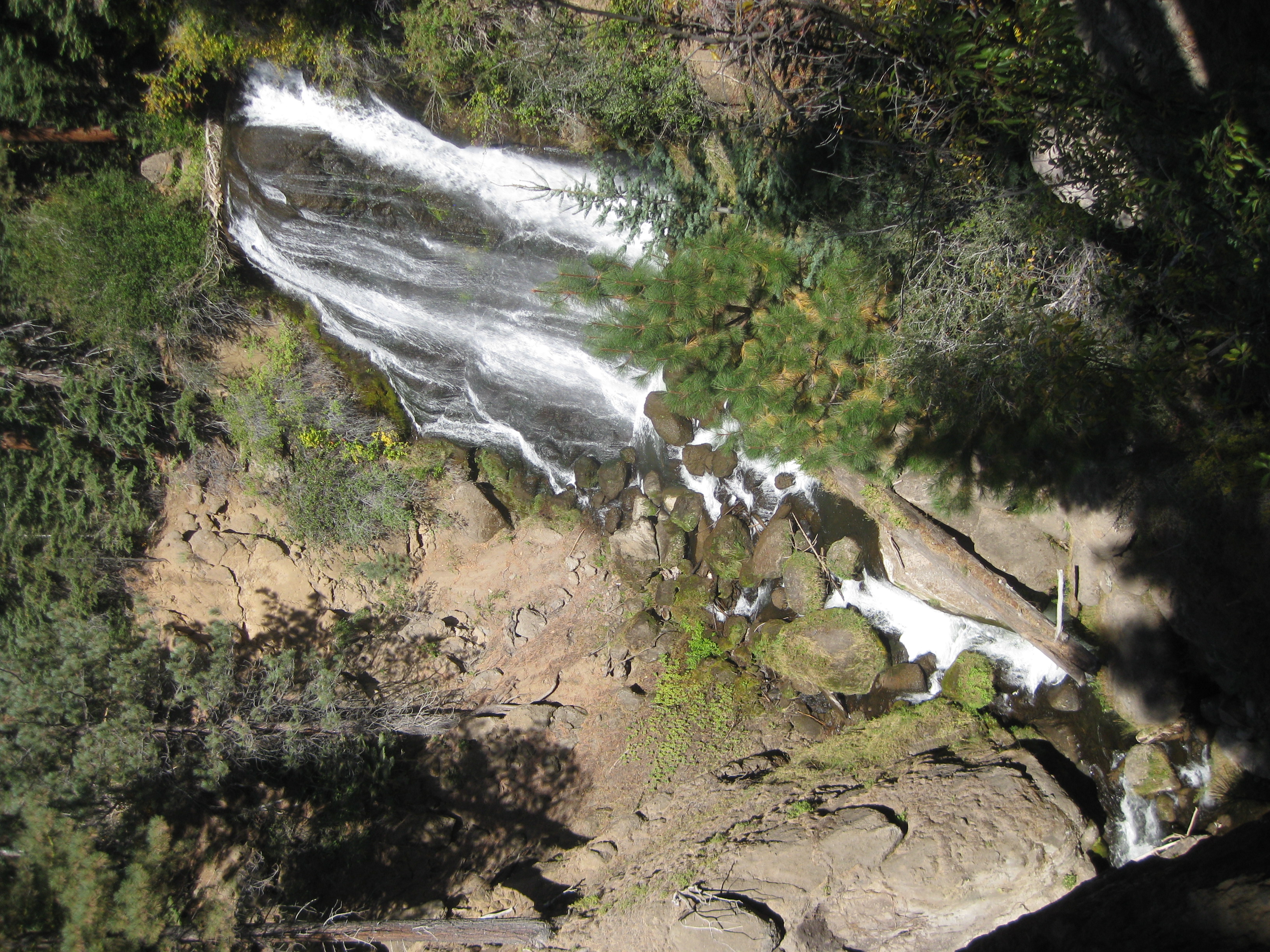
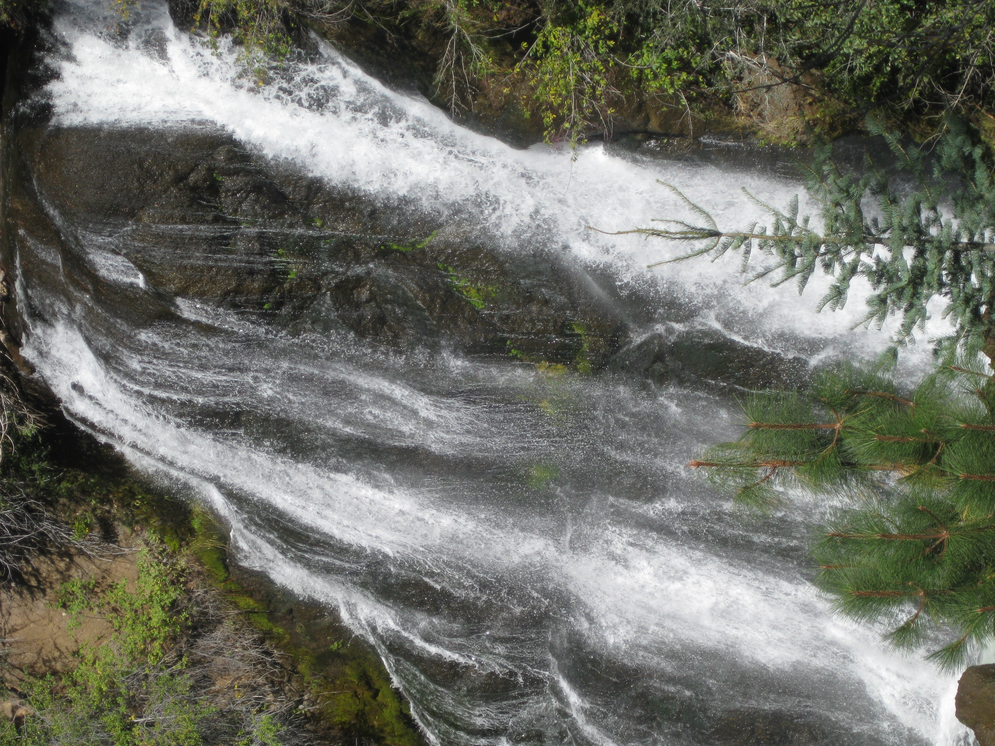
Drove to Mill Creek Campground, set up tents, walked to falls, came back and ate cheese & salmon dinner.
For first time we had rest rooms with drop toilets, picnic tables and drinkable fountain water. We referred to it as our Hilton.
At night can hear falls.
Found mouse feces & torn up paper in car.
Day 12, Sunday, October 1
Day hiked about 3 miles around Clear Lake with a short side trip to waterfalls. (net elevation gain = 0'; total uphill 550').
Elevation Profile (understates distance):
Dinner:Backpackers Pantry Kathmandu Curry with added sweet potatos, chili pepper. Dinner was ok but not great. Threw some of it away.
Today's video:
Bob opens car trunk and finds mouse in trunk trying to run into clothes bag. Bob almost catches, but mouse escapes into car interior.
Ate breakfast.
Reenie and Bob clean out car:
Feces on all floor & seats.
Nest inside clothes.
Chewed clothes,
Chewed driver car seat (?)
Chewed ropes (?)
After shaking out & looking at clothes, put them back in bag and put the bag in Bob's tent, along with tissues & paper towels.
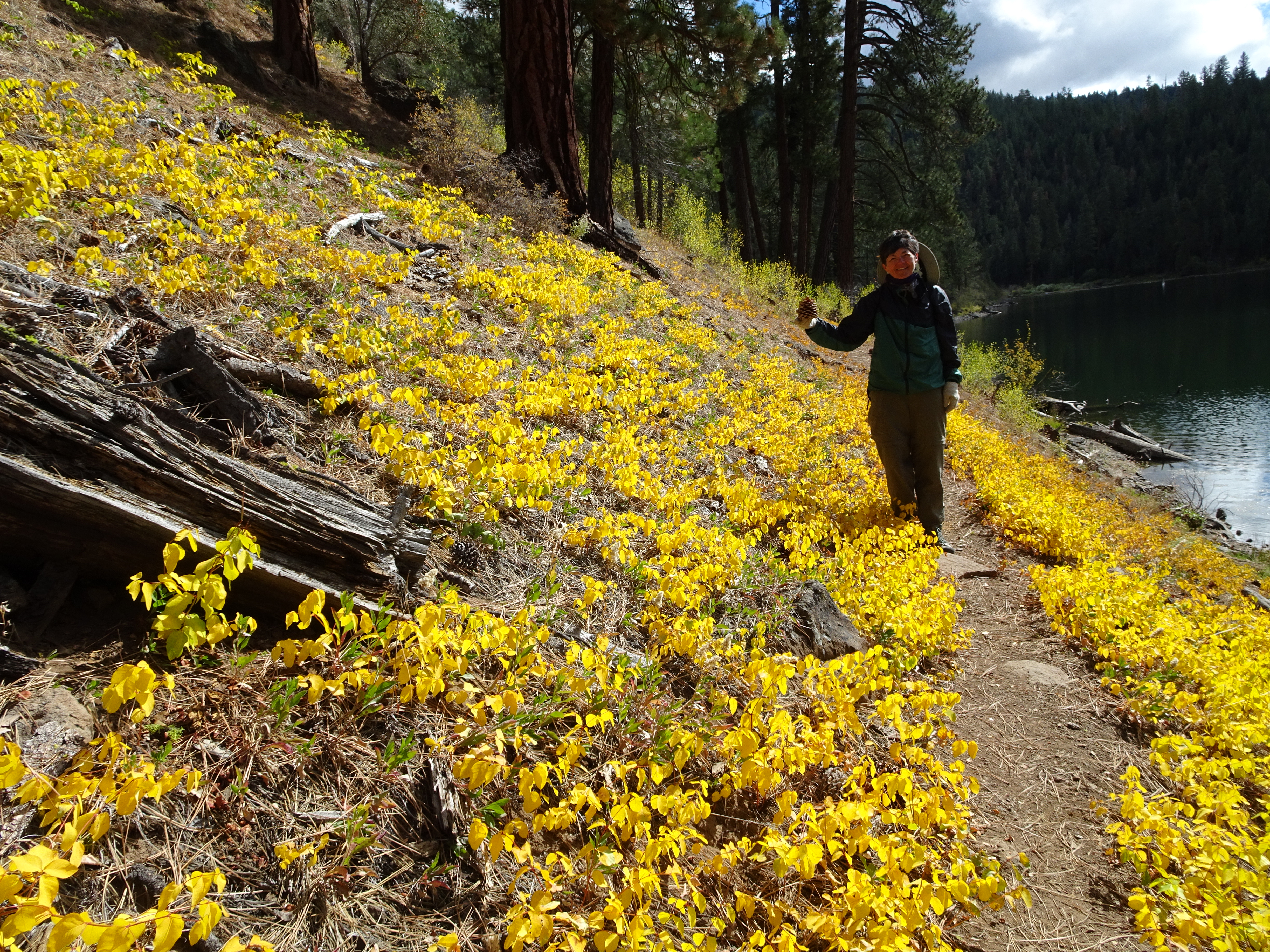
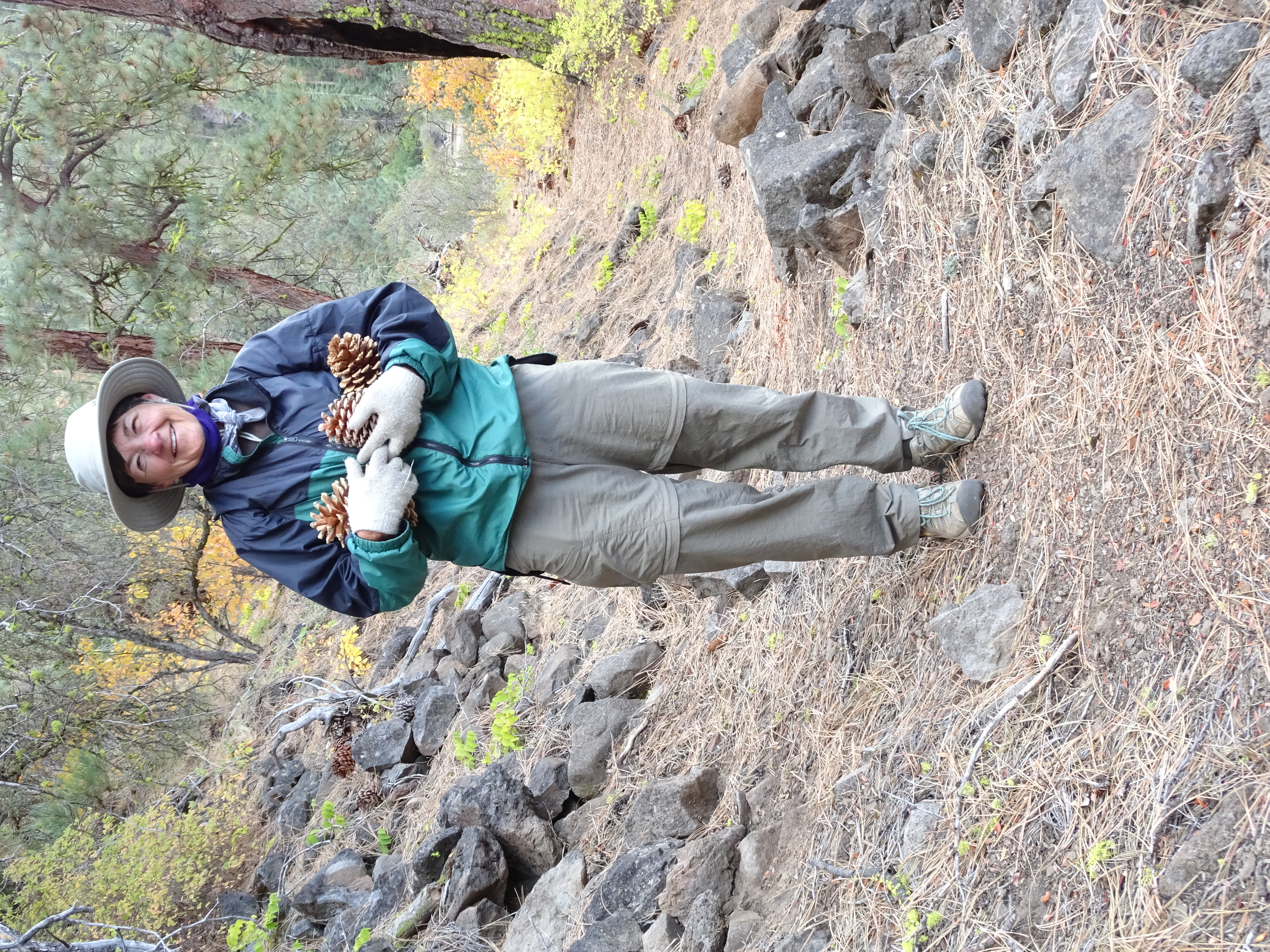
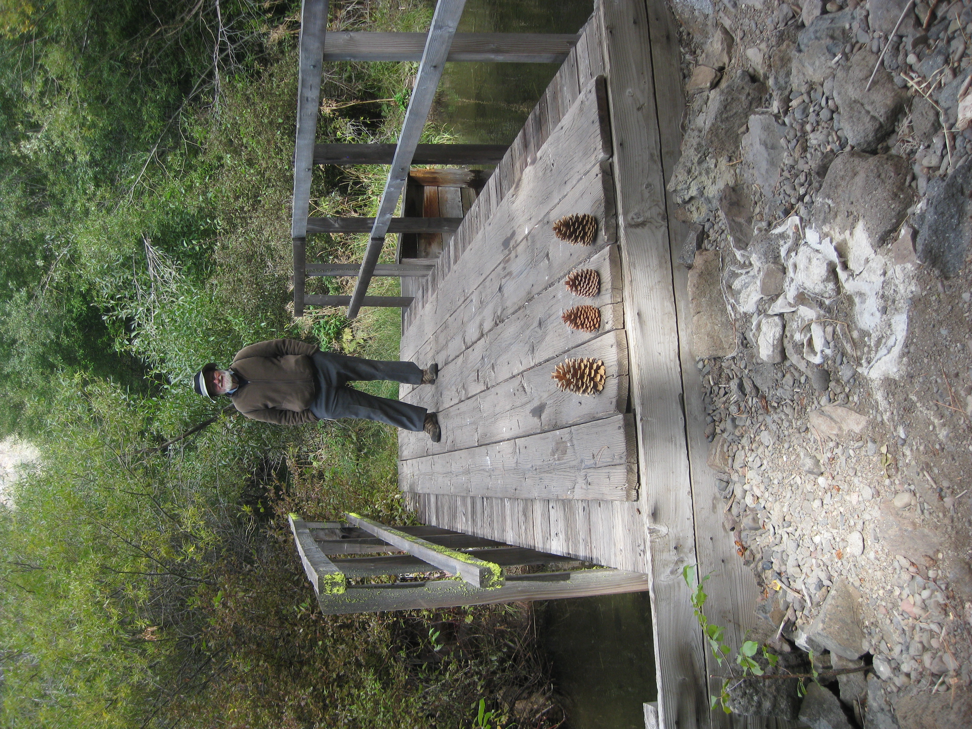
Went for day hike around Clear Lake, enjoying autumn colors & Reenie collected about a dozen pine cones. Also visited Mill Creek Falls again.
Back at campsite saw several people coming and going on hikes.
Ate dinner.
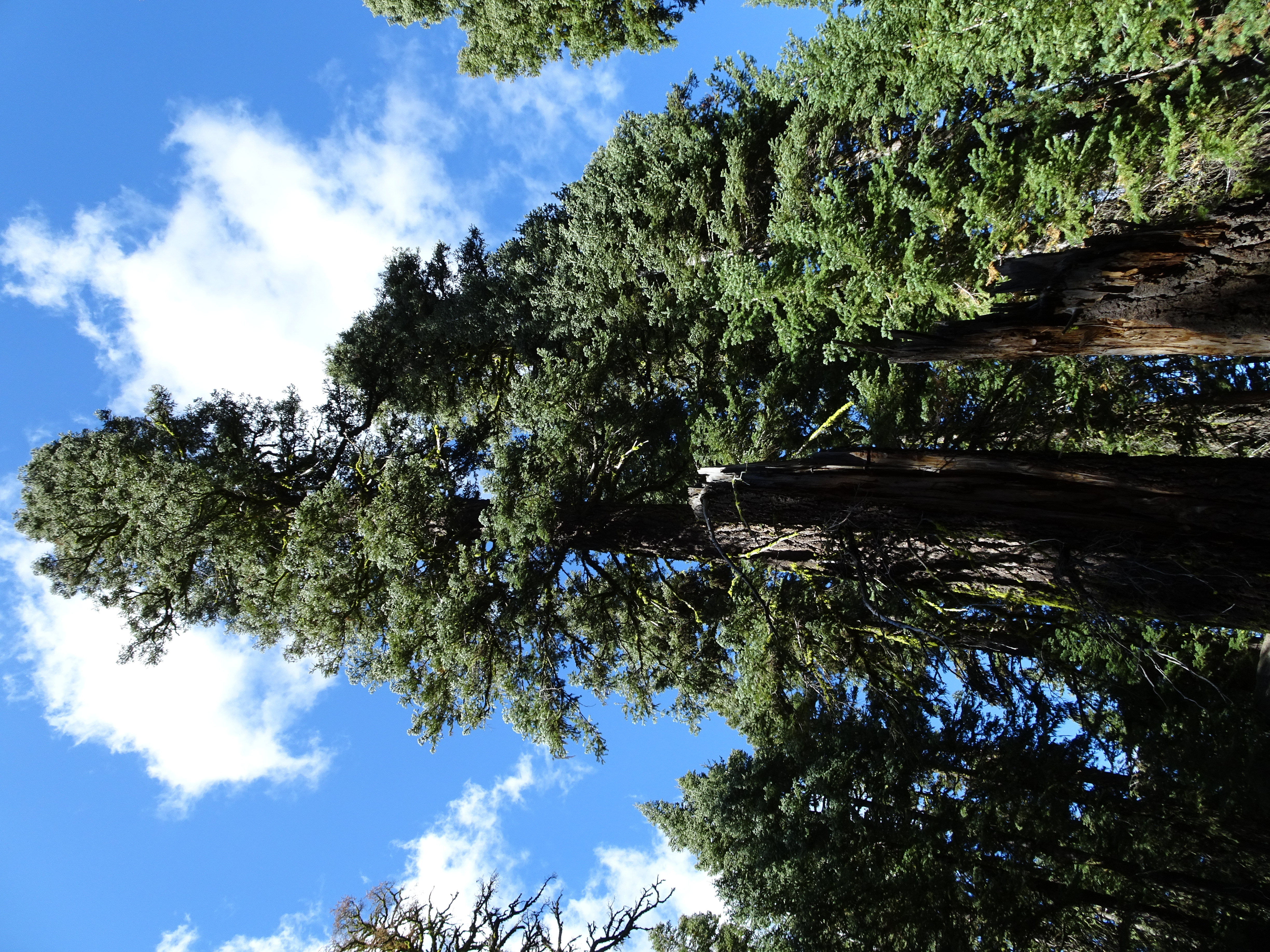
Clear Lake is a pretty mountain lake surrounded by forest with lots of Ponderosa Pine & pine cones.
No cows, no cow dung.
Day 13, Monday, October 2
Drove home, finishing up a wonderful trip and adventure.
Diary:
Early rising; very cold; tent poles frozen together; frozen water pipes in camp faucet.
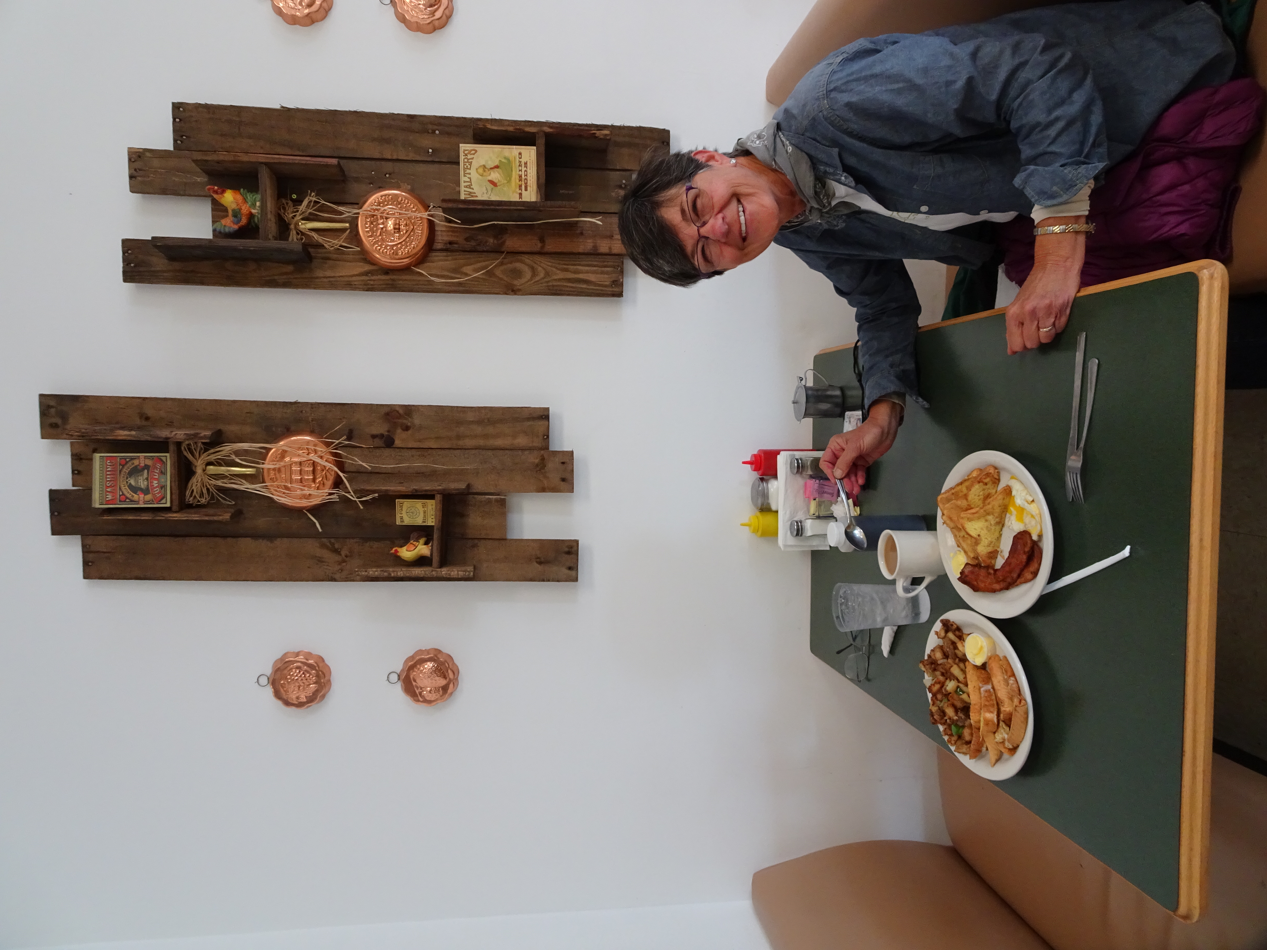
Cows attempt to prevent us from driving home, to no avail. Breakfast: Lazy B Cafe. Decadent! Reenie eats BACON! And we get our last views of Mt. Shasta.
Errands: Post Office for postcard stamps (who heard of a PO NOT having stamps!); Forest Ranger Station to leave blue sleeping "miracle" Bag & ground pad; gas; Sub sandwich.
Drive home: coyote sighting, dust devil (perfect model!), MT. SHASTA, small towns in the mountains.
GREAT TRIP!
Equipment Comments
After these last 5 backpacks, I am totally sold on Eagle Creek light weight stuff bags that I use to organize the items within the backpack. It makes life much easier. For instance, I have a small bag for daily items that I use each day (toothbrush, flashlight, toilet paper, etc); another bag for emergency items I hope never to use (beacon, whistle, medical stuff); for clean clothes - also used as pillow; for cookwear including matches and utensils; for down jacket - another pillow. Could not recommend them more highly.
Nothing beats the Steripen for cleaning water. Weighs almost nothing, a few inches long, takes 90 seconds to sterilize a quart of water from a stream. Have never used a pump to clean water since I started using a Steripen.
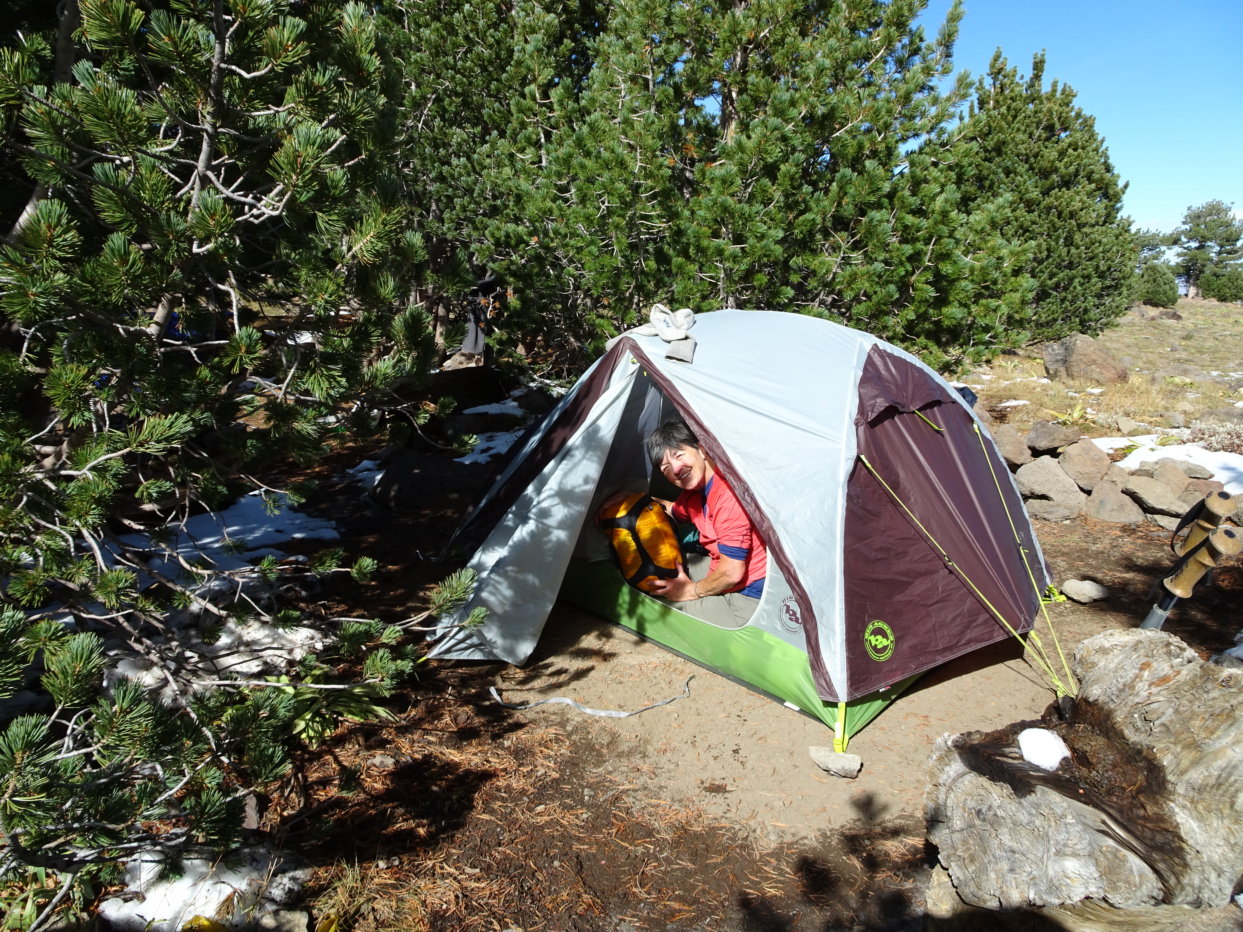
I use the Big Agnes Fly Creek 2 person tent with ground cloth and rainfly. I had some problems with my first Fly Creek 1 person with the zippers. Big Agnes was very helpful and easy to work with, offering to either repair/replace any problem or to give me a credit as I requested to getting the larger tent. I highly recommend Big Agnes. Reenie has a 2 person Big Agnes Rattlesnake tent which has served her without problem for the last two backpacking trips. It is somewhat larger and only a bit heavier than the Fly Creek.
Route Map and Elevation Profile
The map below shows our backpacking and dayhiking routes. Backpacking is a solid yellow line, dayhiking is in dotted yellow. Click on map image to get a wider area version.
The elevation profile below the map shows in feet the elevations of the backpacking route (it does not show day hike elevations). The distances shown on the profile seriously underestimates the actual trail distances. The profile does give a good idea of the climbing involved, however.
Photos and narrative were contributed by both of us: Reenie and Bob
Here are all of the backpacking trips Reenie and Bob have taken
Other Websites
By Bob:
Bob Phillips [phillips bob 27 at yahoo dot com - no spaces]
Santa Rosa, CA
August, 2012