
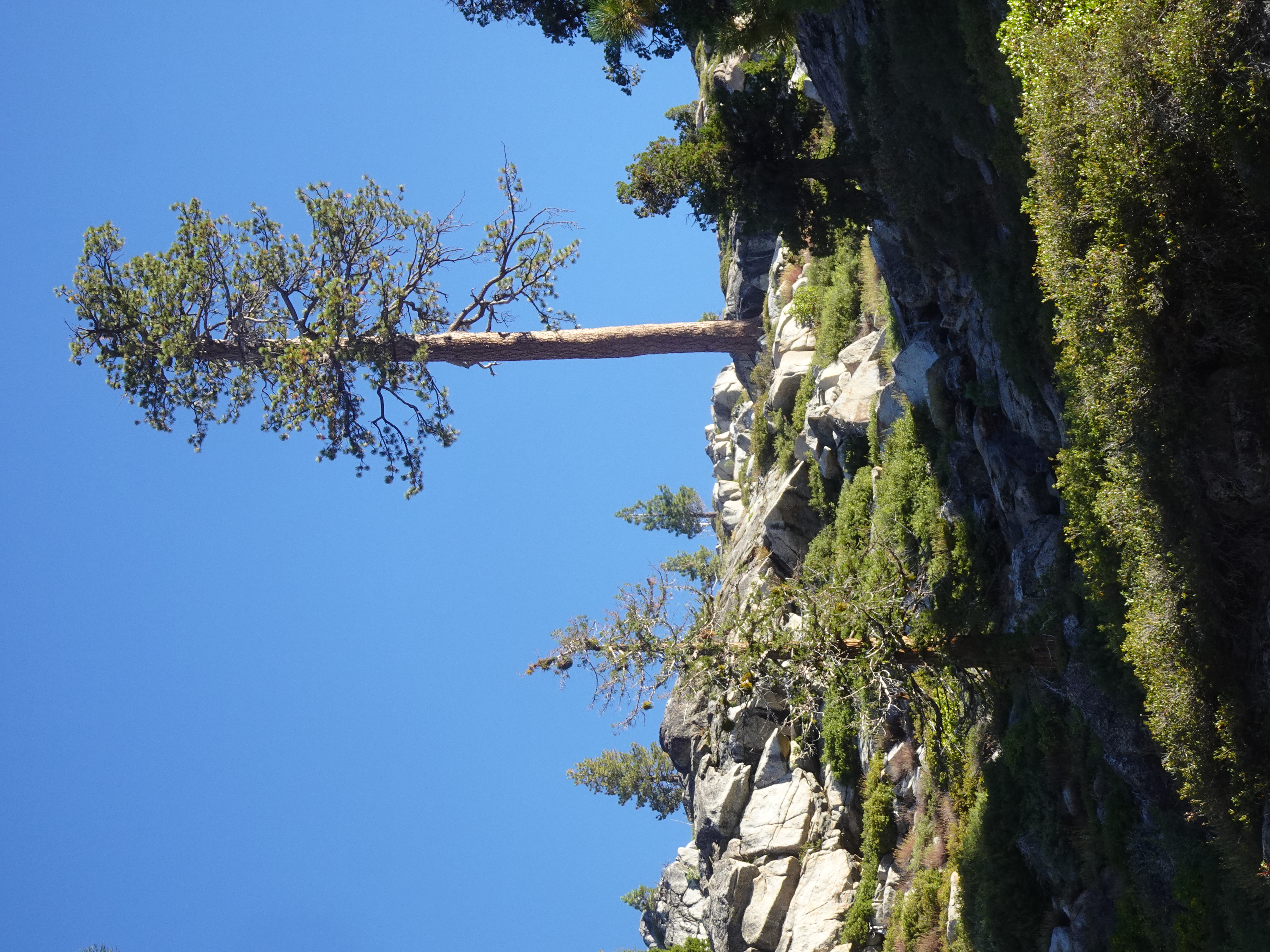
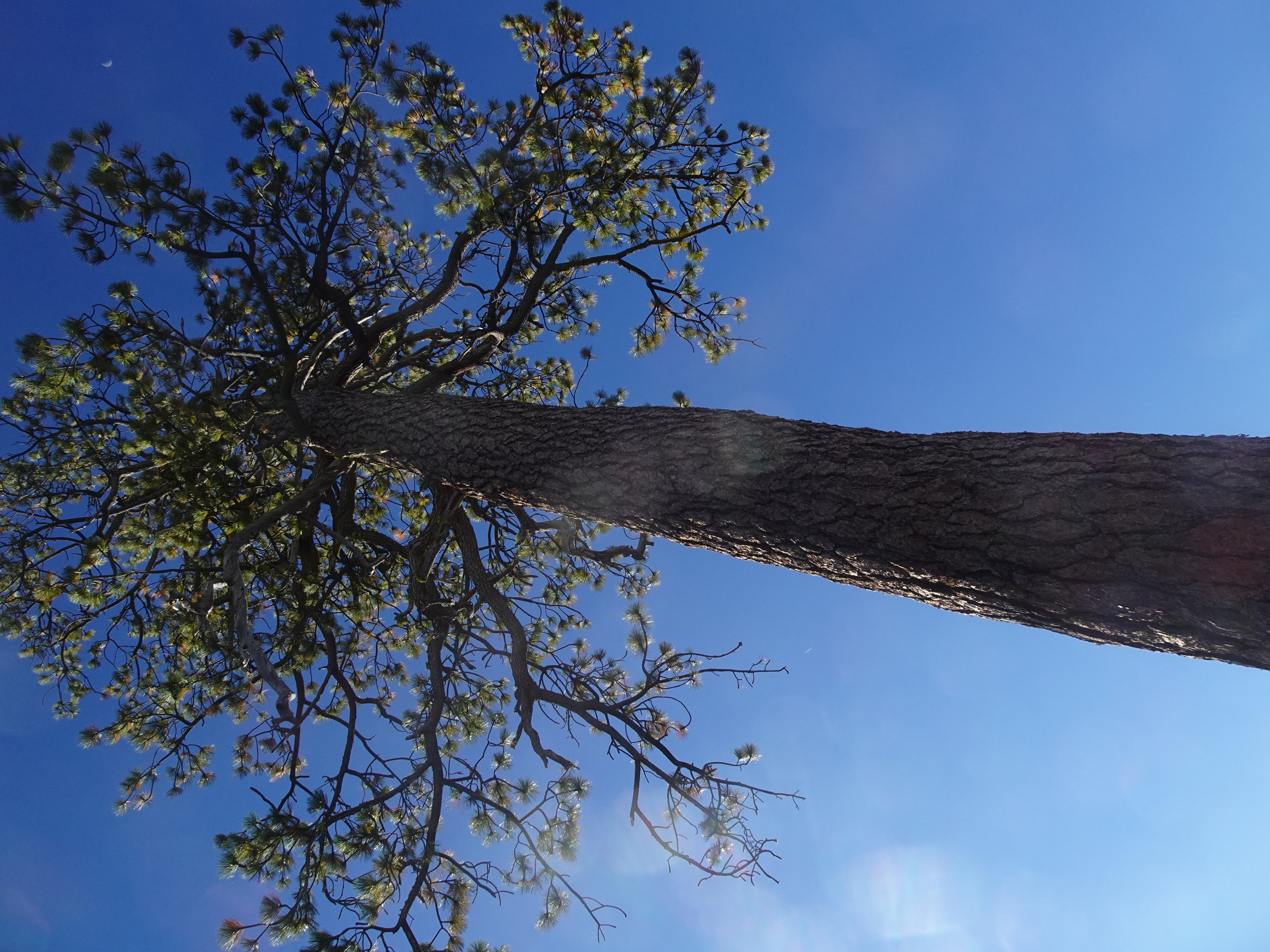
For any of the following Favorite photos, click on the image to bring up the full resolution, uncropped version. Day by day photos and narrative follow these.
|
 |
 |
Video suggestion: All videos shown below are very short and HD (1080p). I find best YouTube settings (for all but the few with Bob, Jennifer, or animals) are HD (1080p), slow motion (0.25 or 0.50), and full screen.
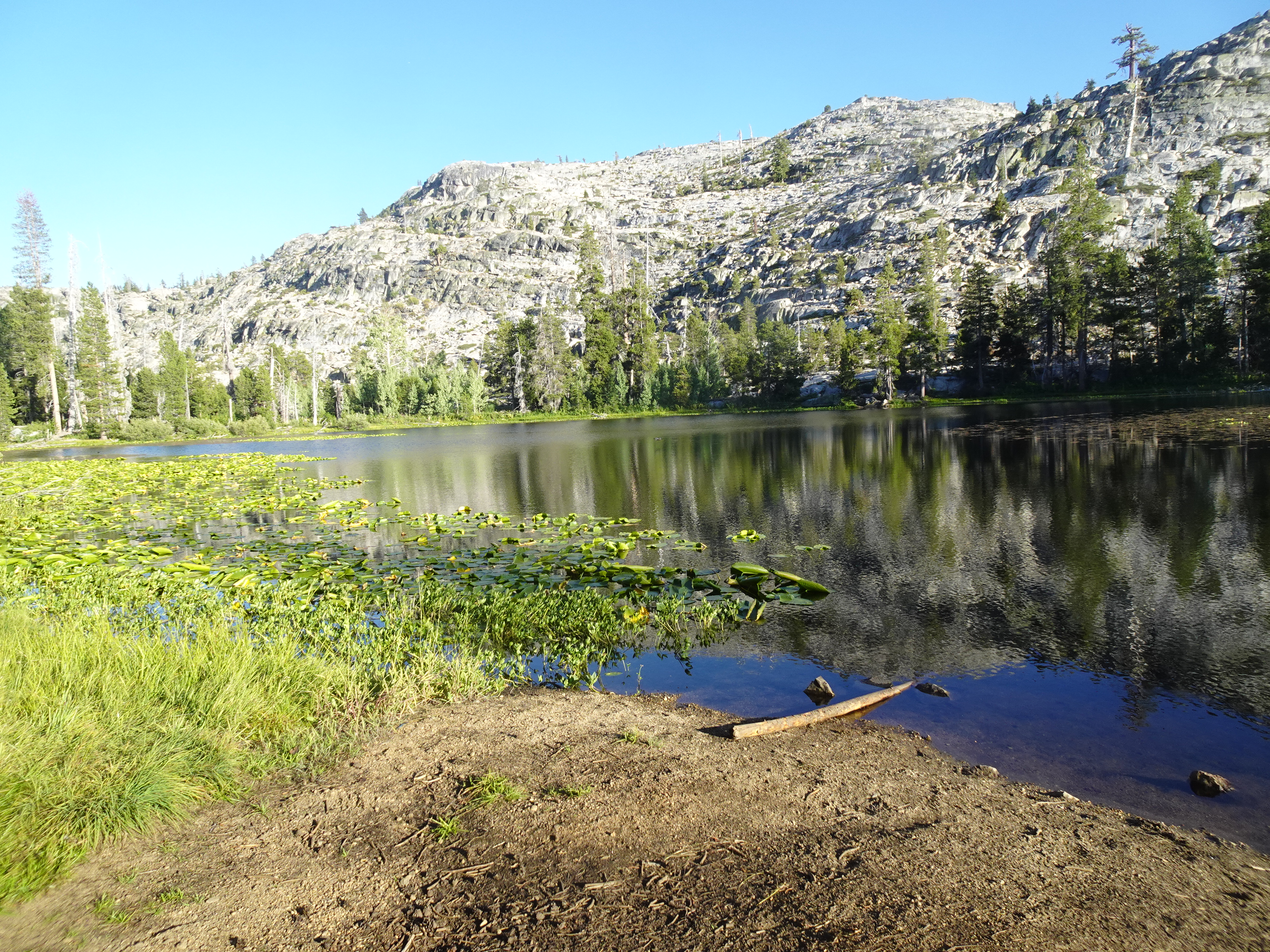
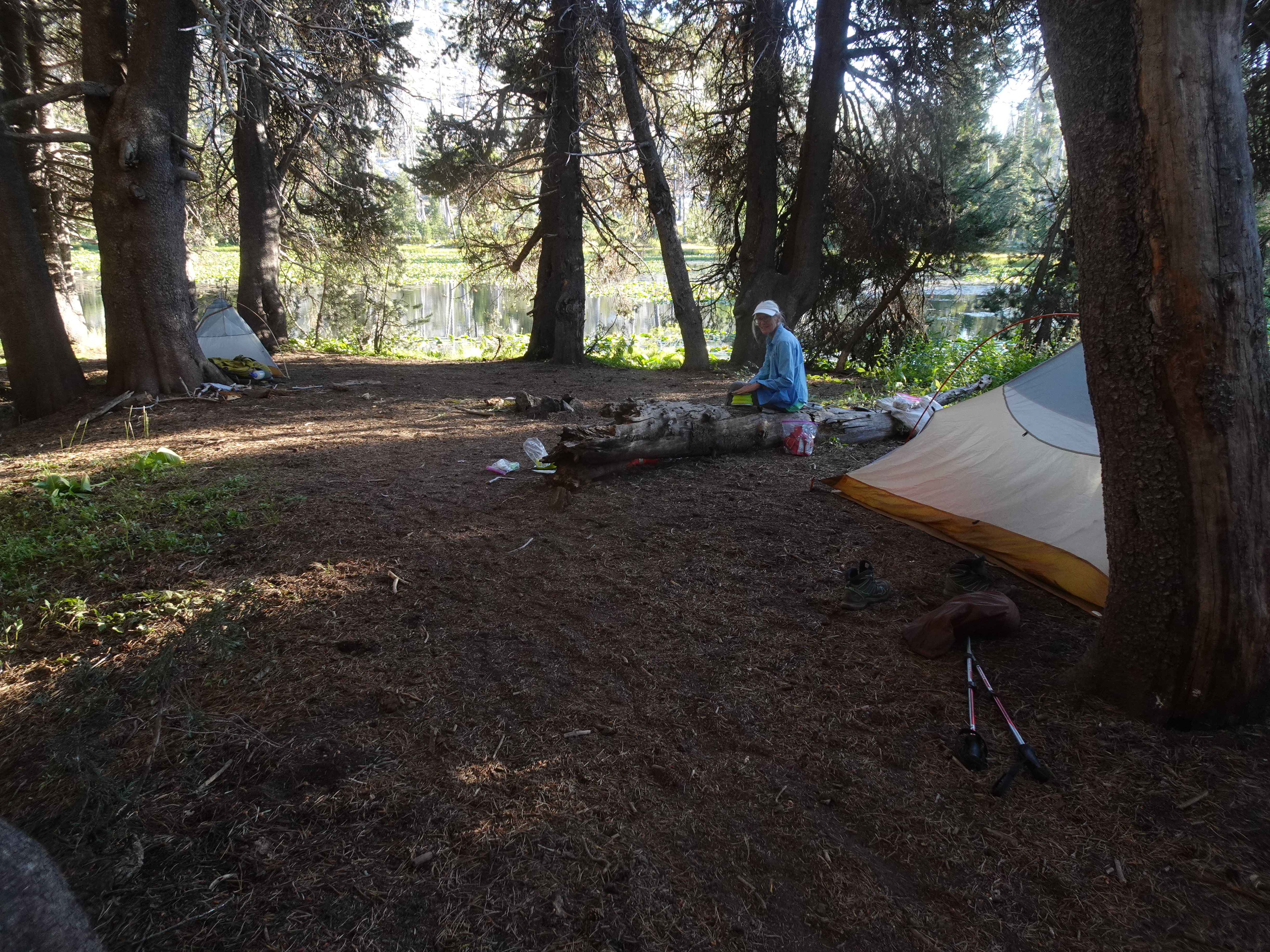
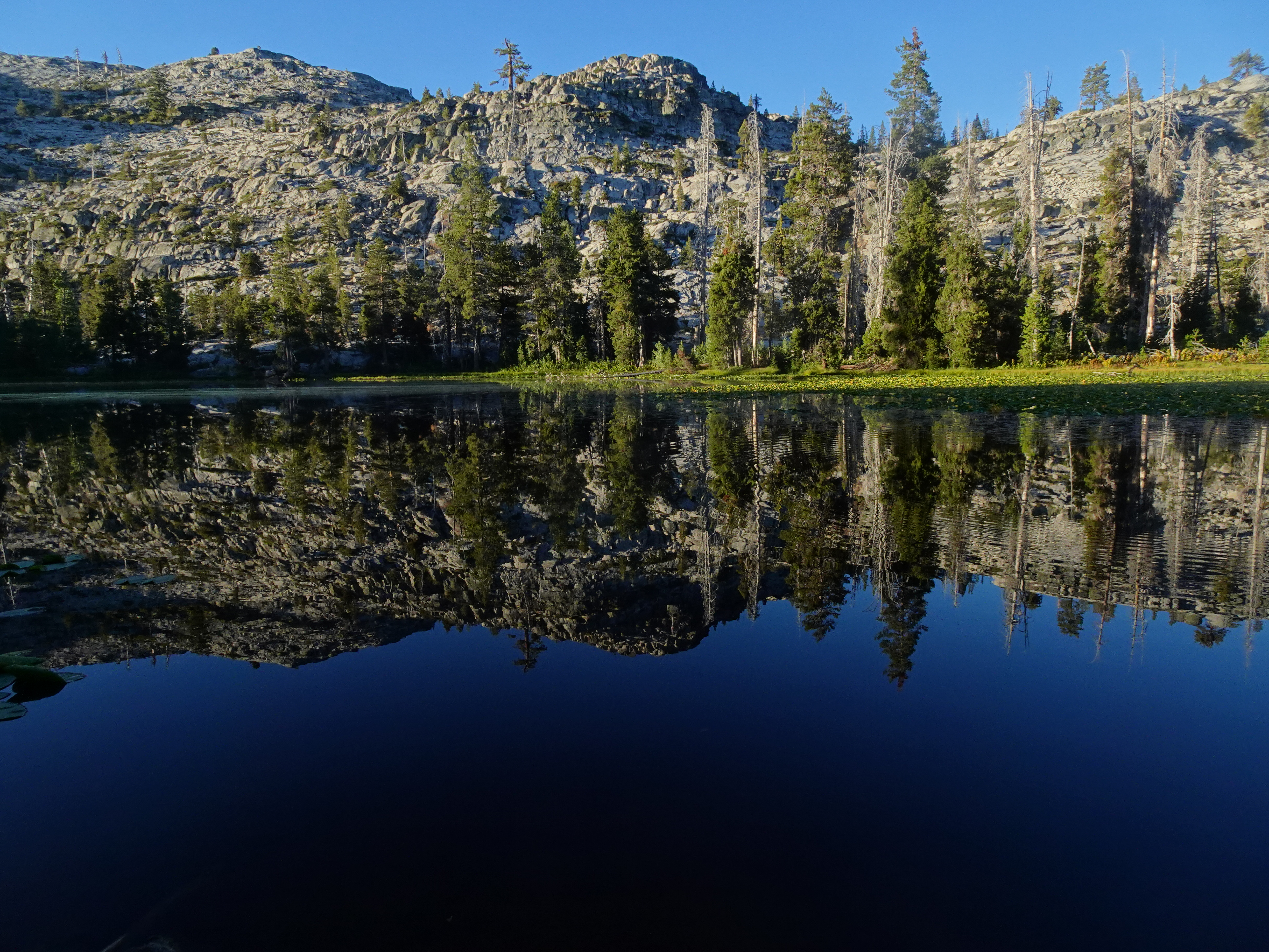
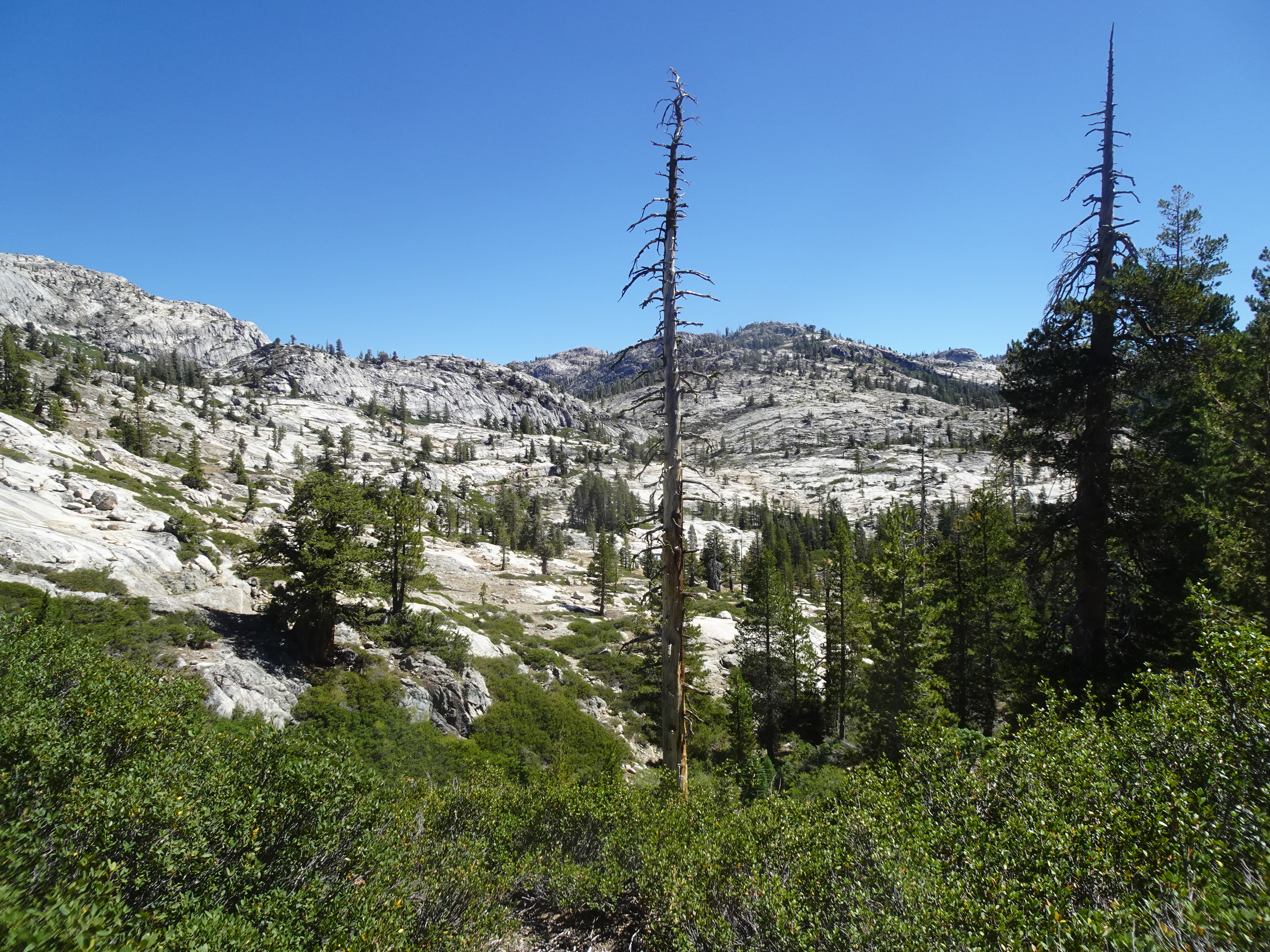
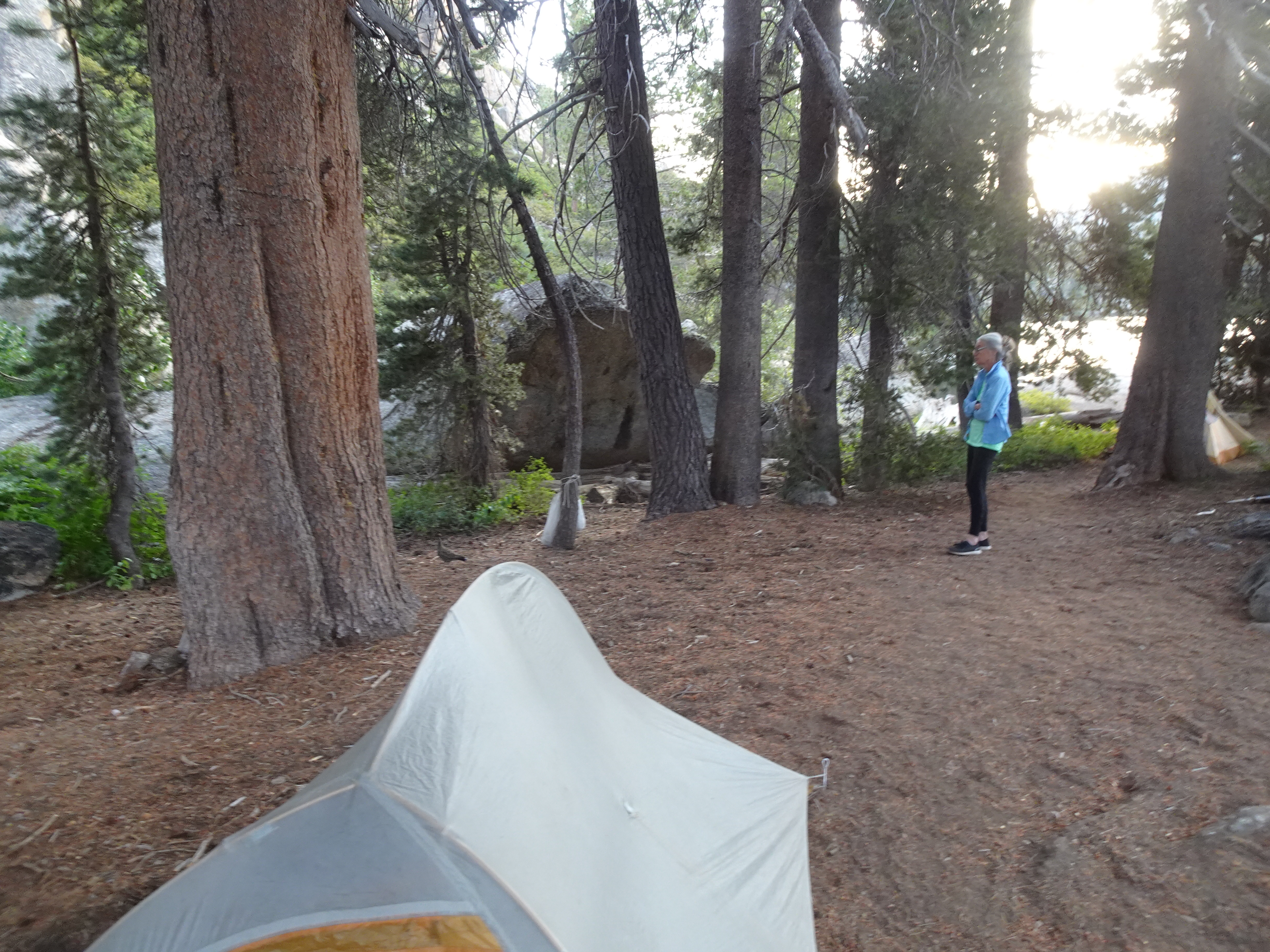
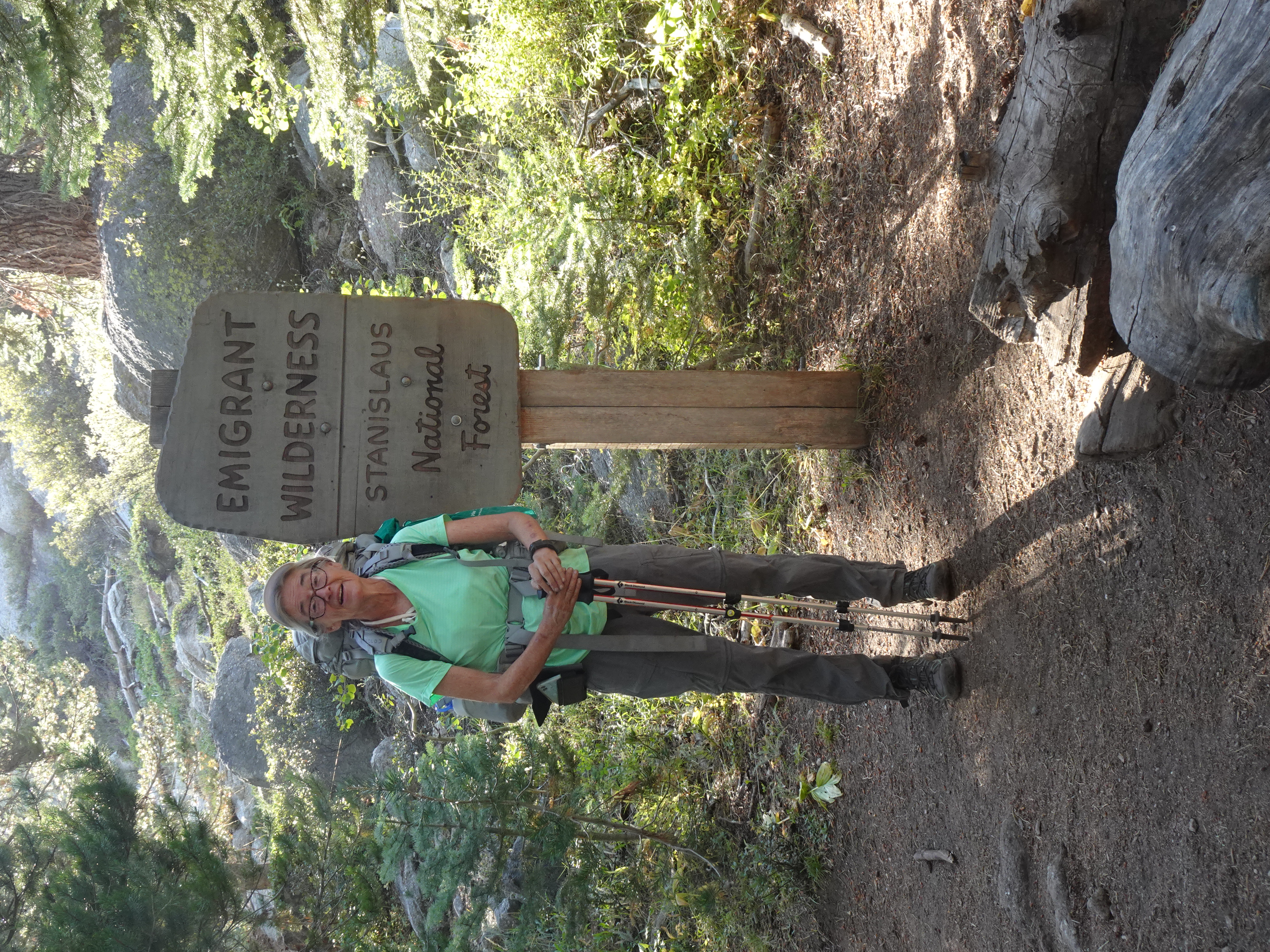
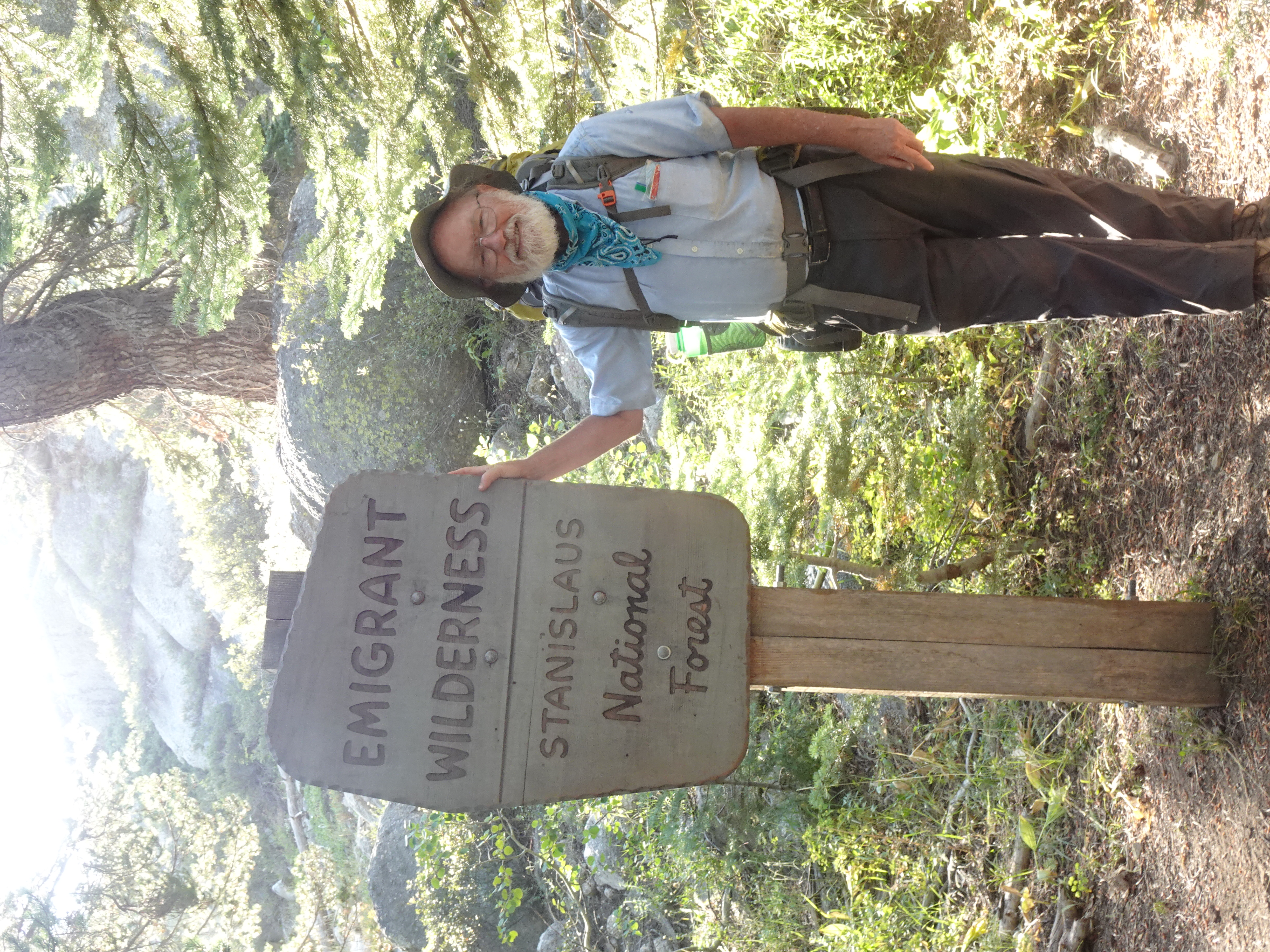
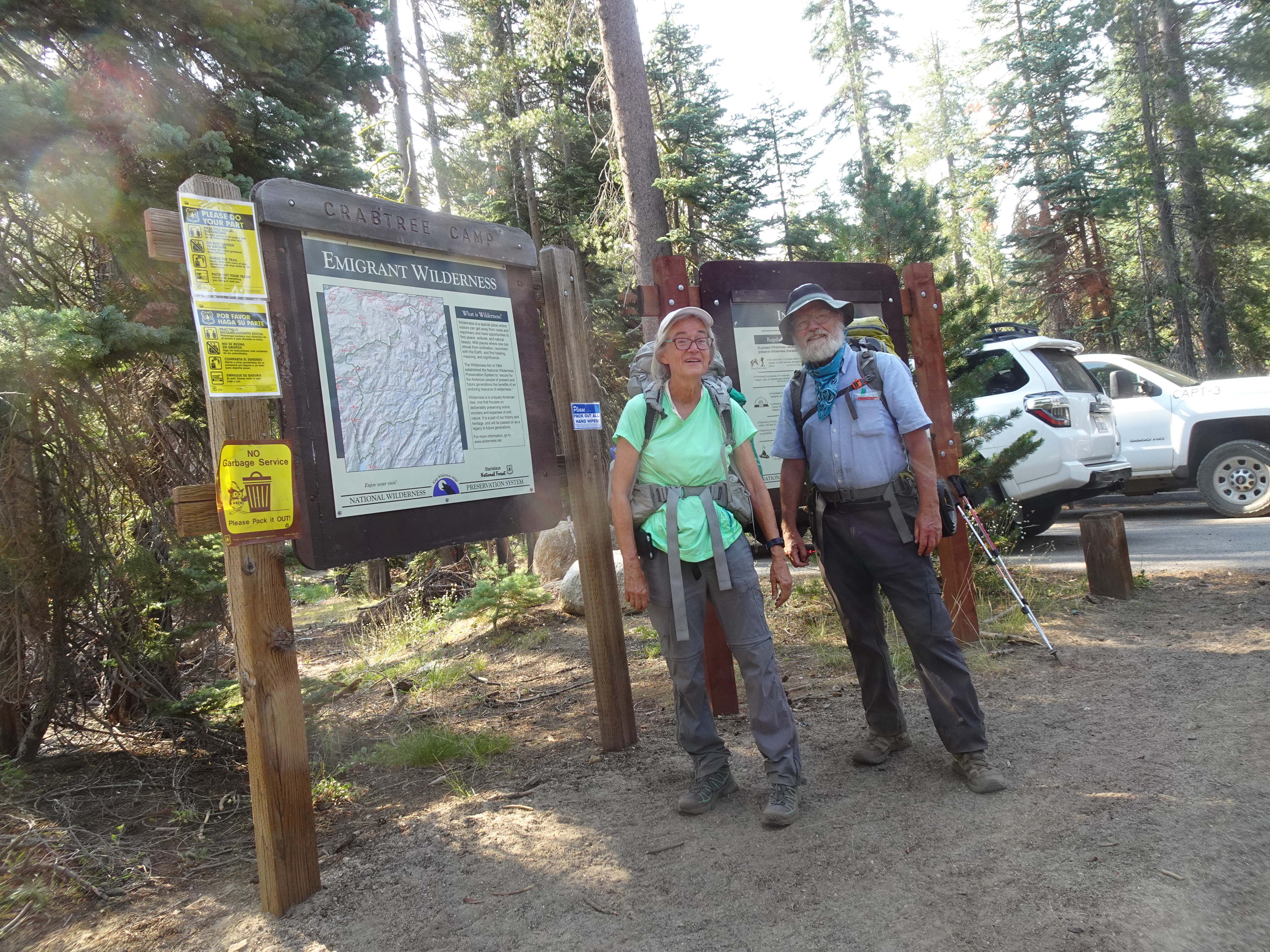
Drove from Santa Rosa to Jennifer's home in Oakland, then drove to the Crabtree trailhead in Stanislaus National Forest and backpacked to Grouse Lake in the Emigrant Wilderness. where we camped for the night.
 |
 |
 |
 |
 |
 |
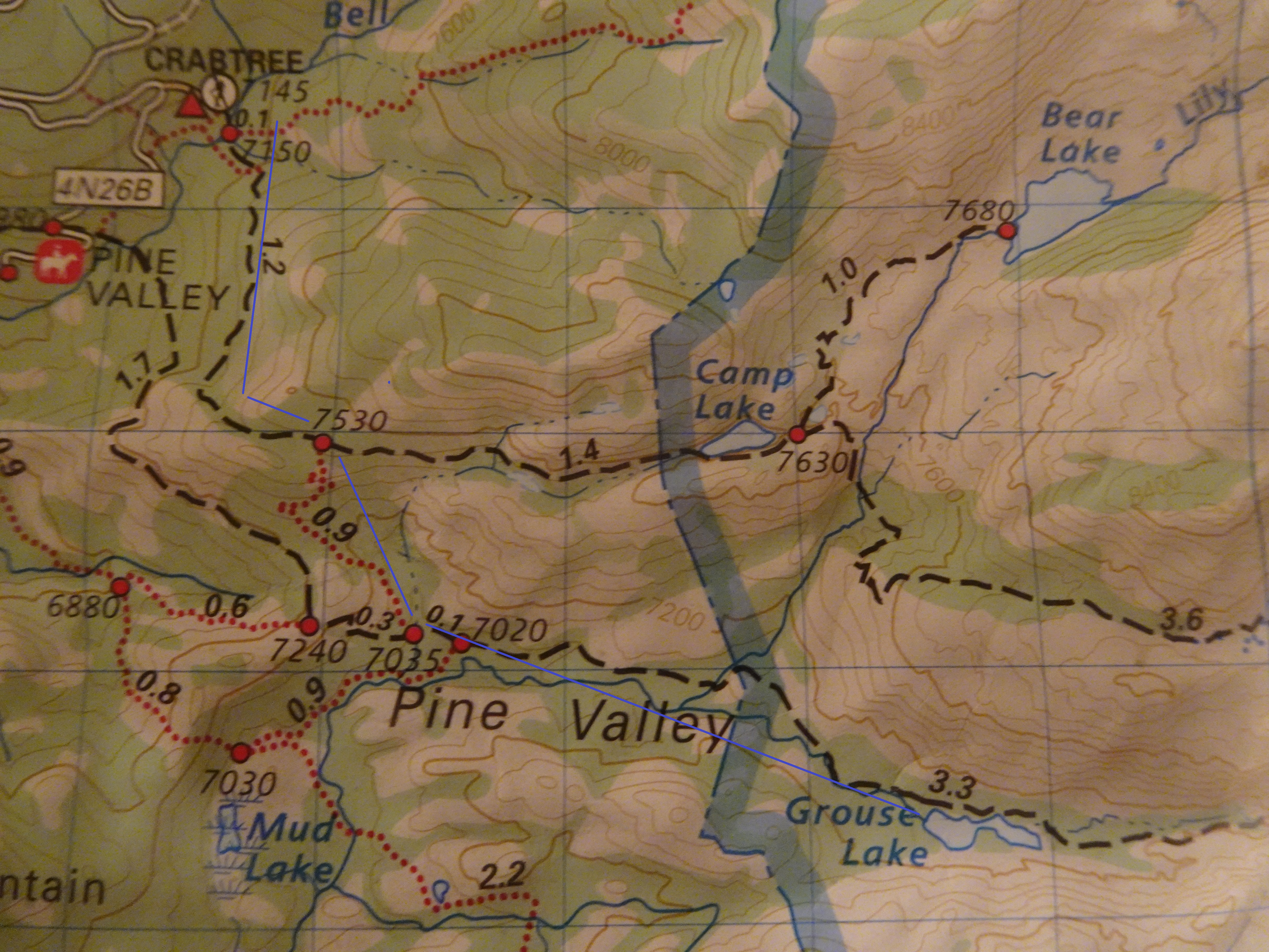
Map from Crabtree trailhead to Grouse Lake (trail near solid blue line), about 3.5 miles backpacking:
 |
Dinner: Corn chowder with Swiss chard.
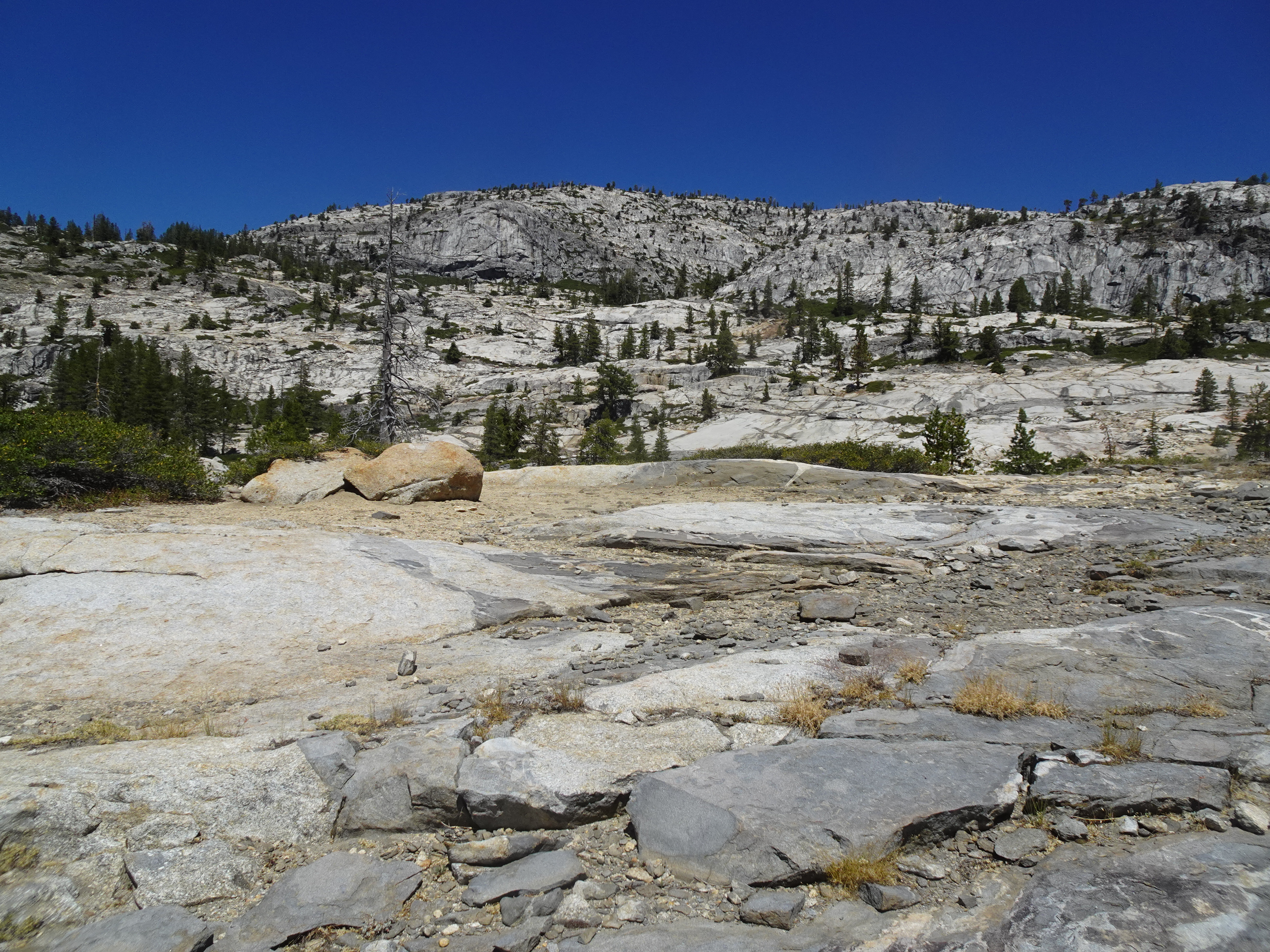
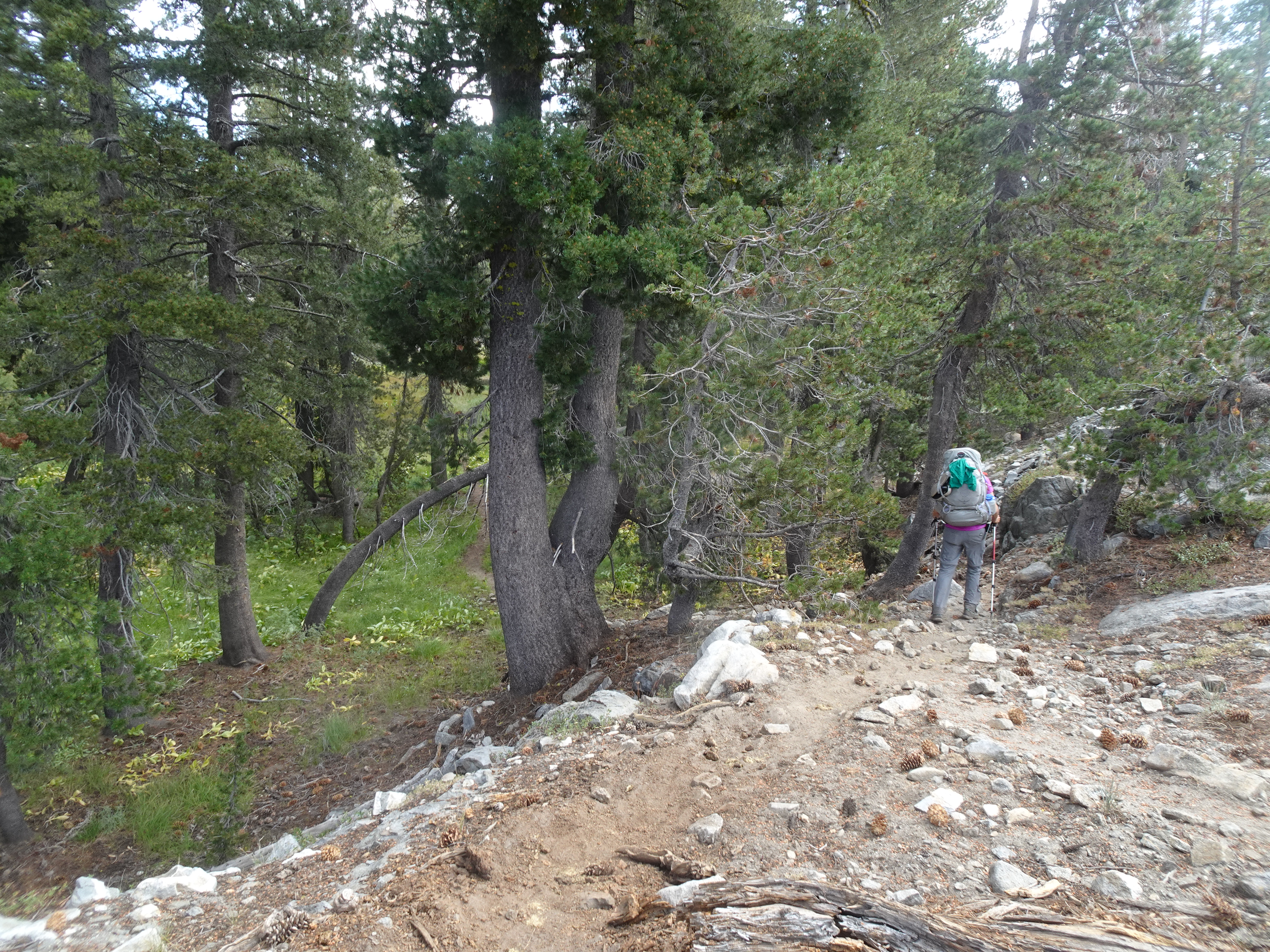
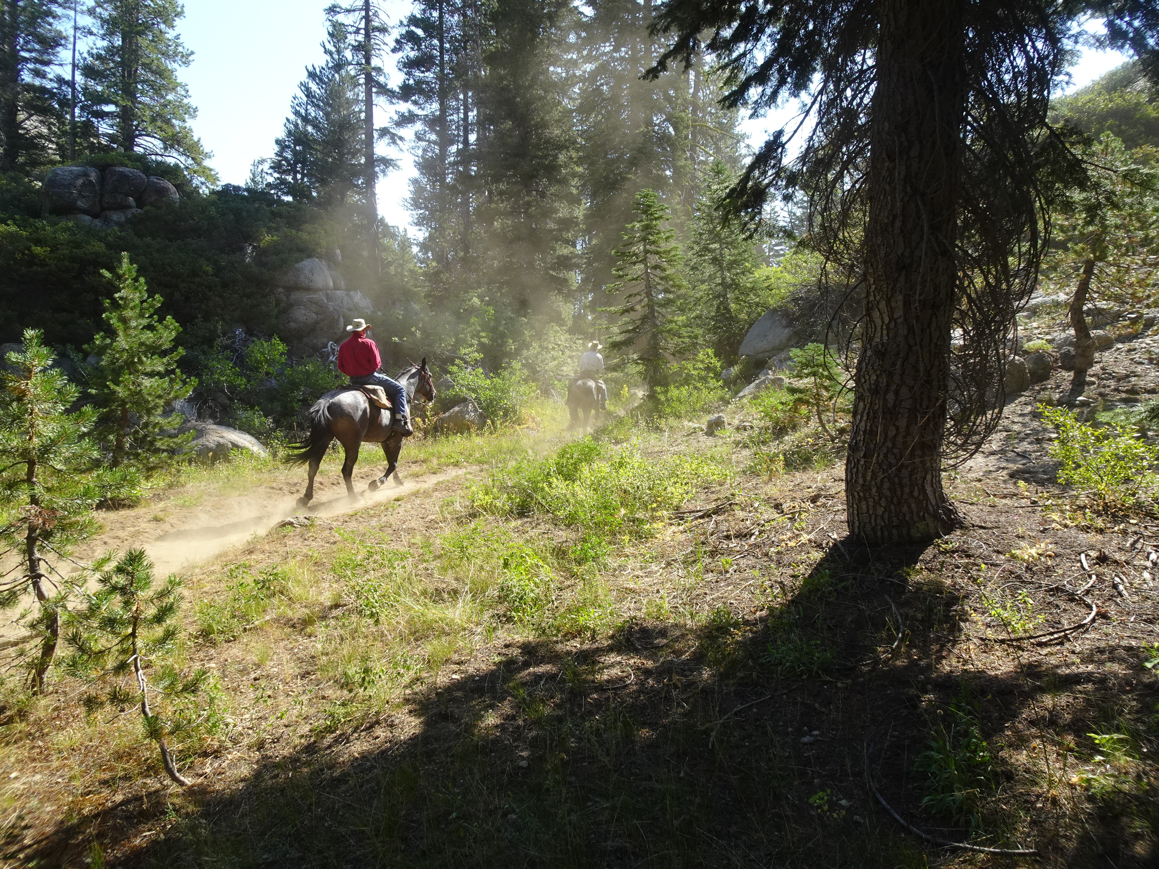
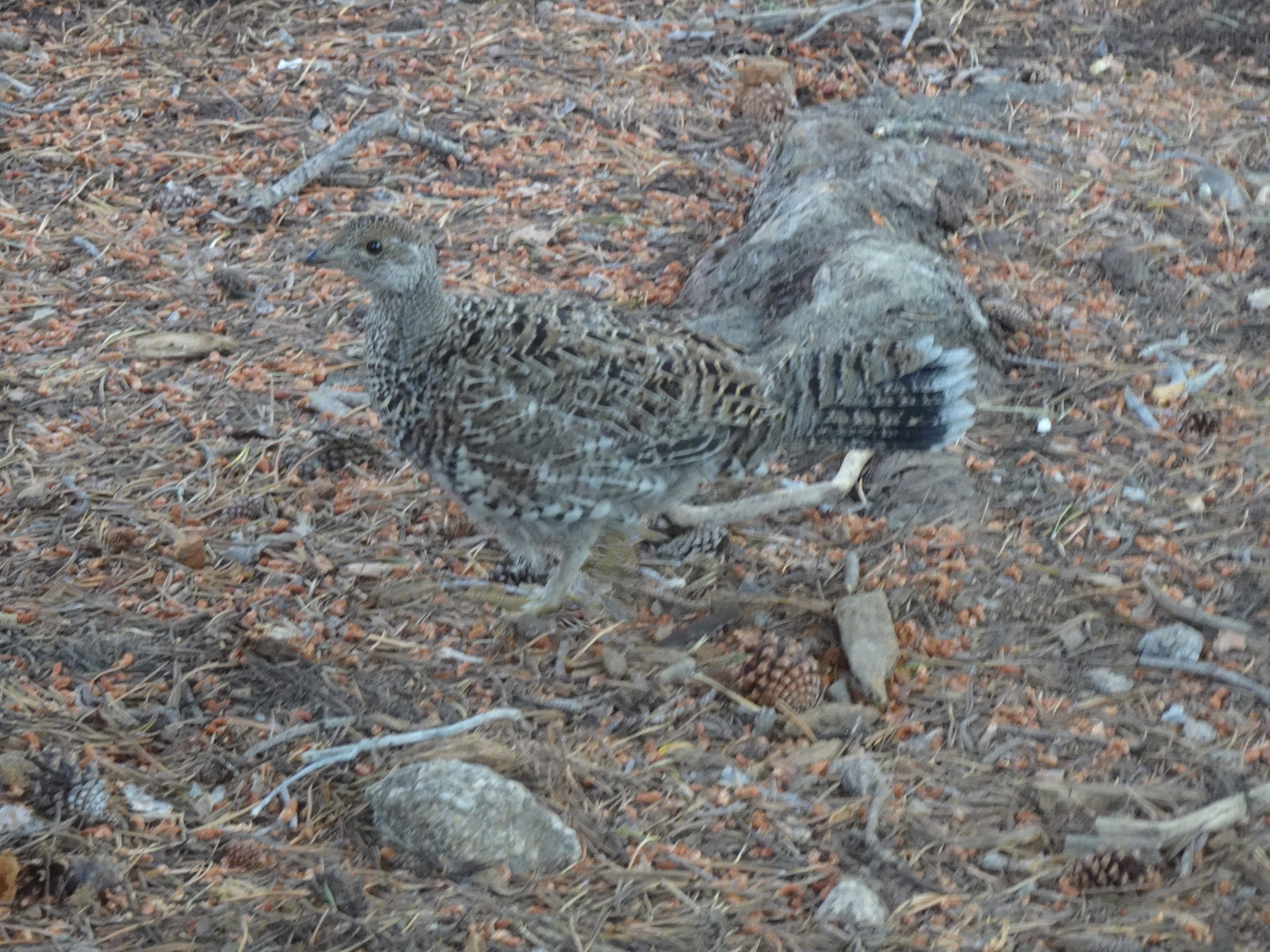
We backpacked from Grouse Lake to a campsite where the trail crossed the Buck Meadows Creek just before the junction to Pingree Lake. Along the way we were passed by mule/horse teams. Although the creek was mostly dry, it did have puddles in which fish swam.
 |
 |
 |
 |
 |
 |
 |
 |
 |
 |
 |
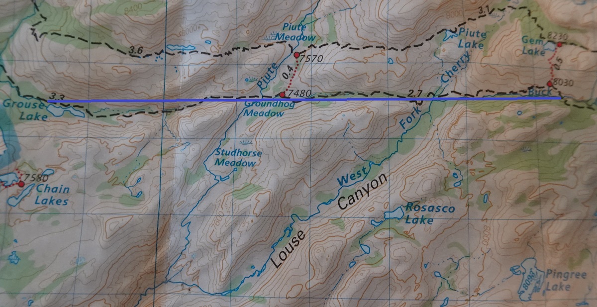
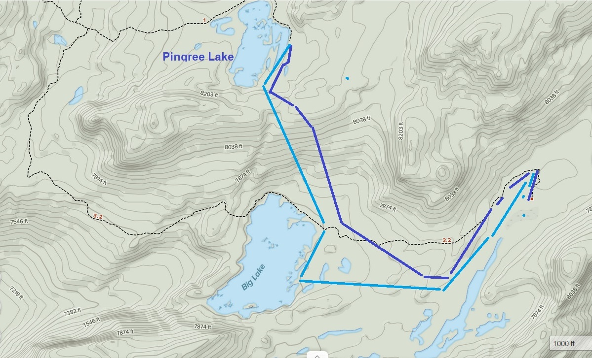
Map of backpack from Grouse Lake to campsite just after Gem Lake junction where trail crosses Buck Meadow Creek (trail near solid blue line) - about 4.9 miles backpacking:
 |
Videos:
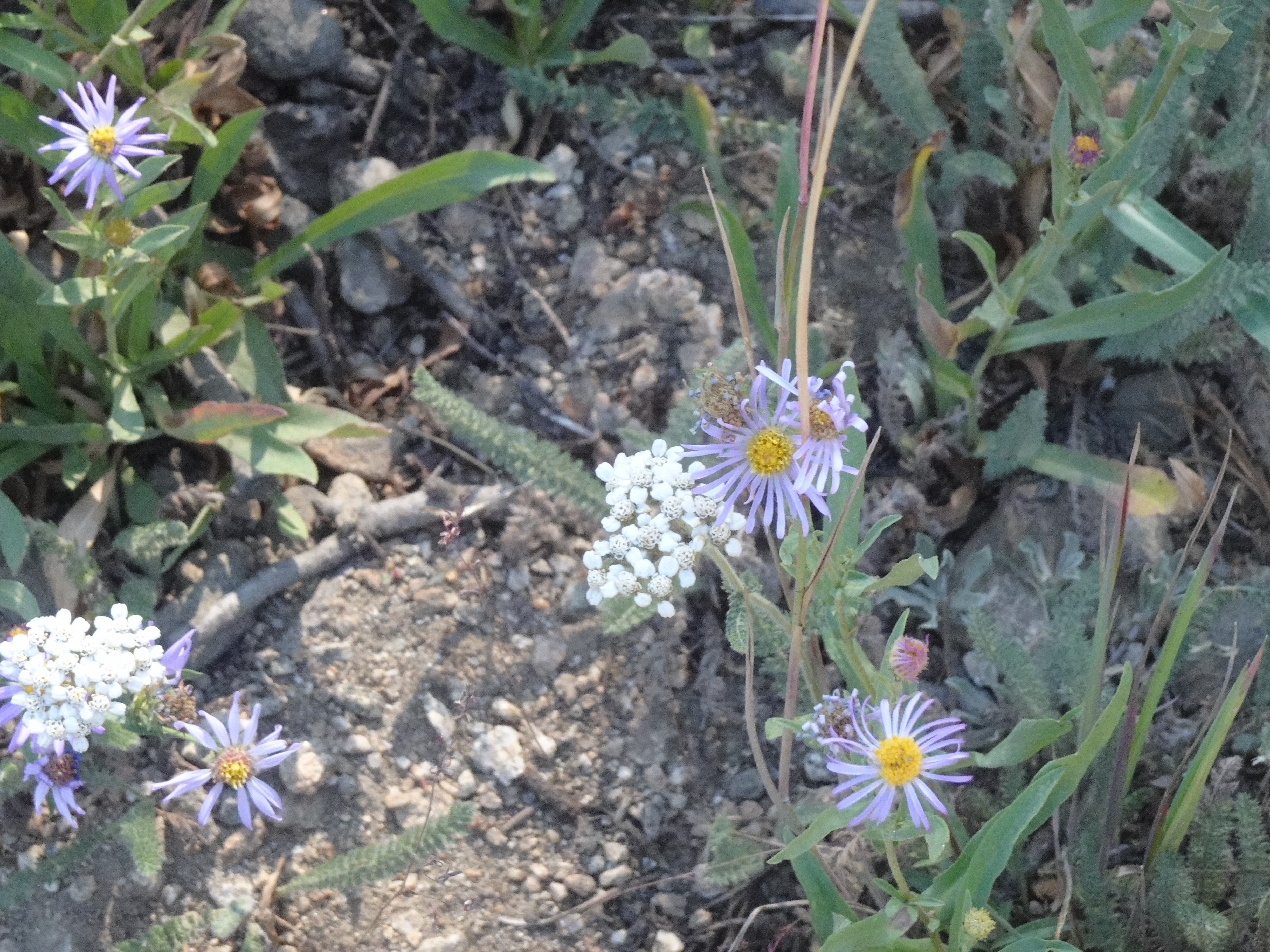
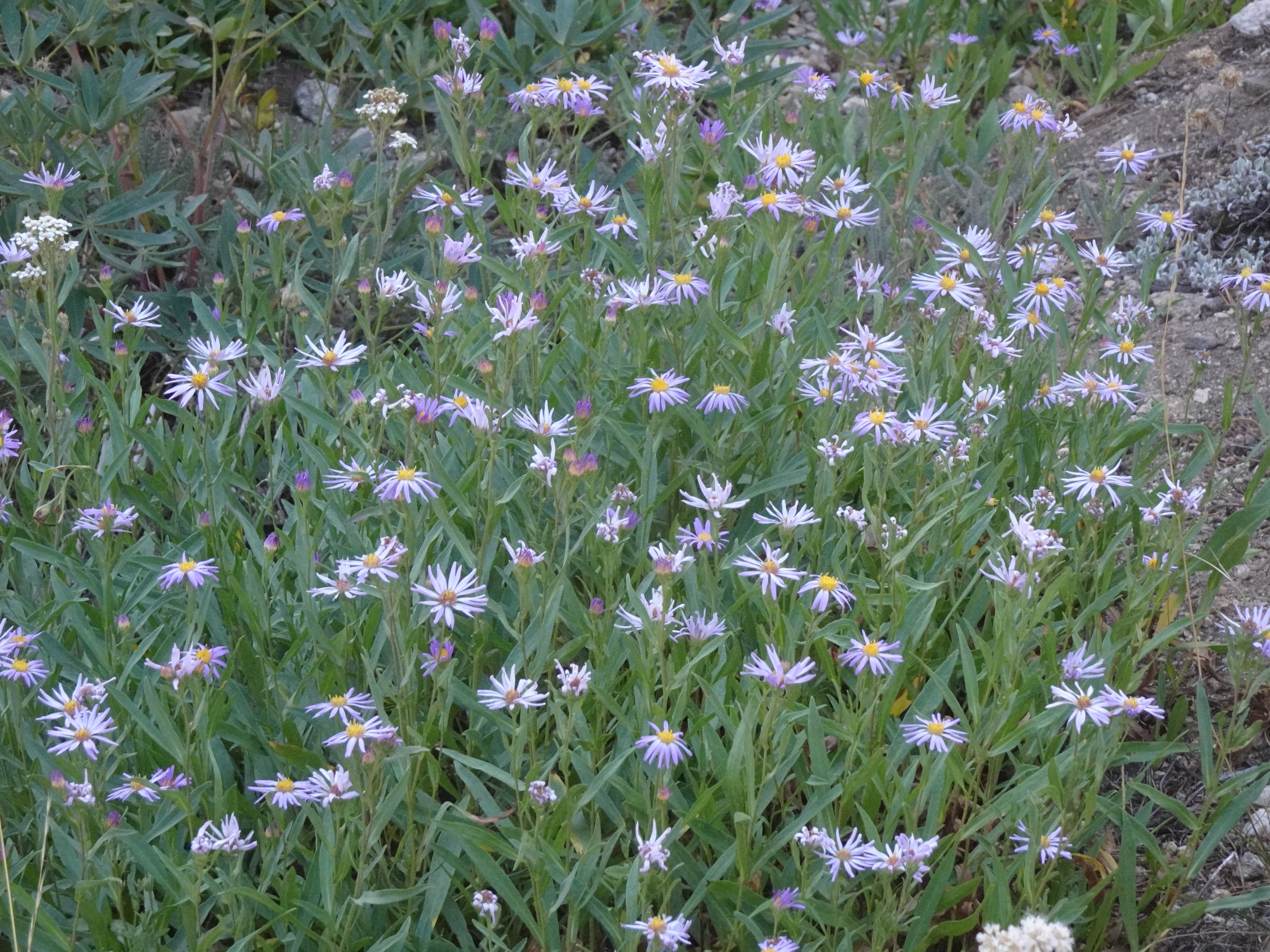
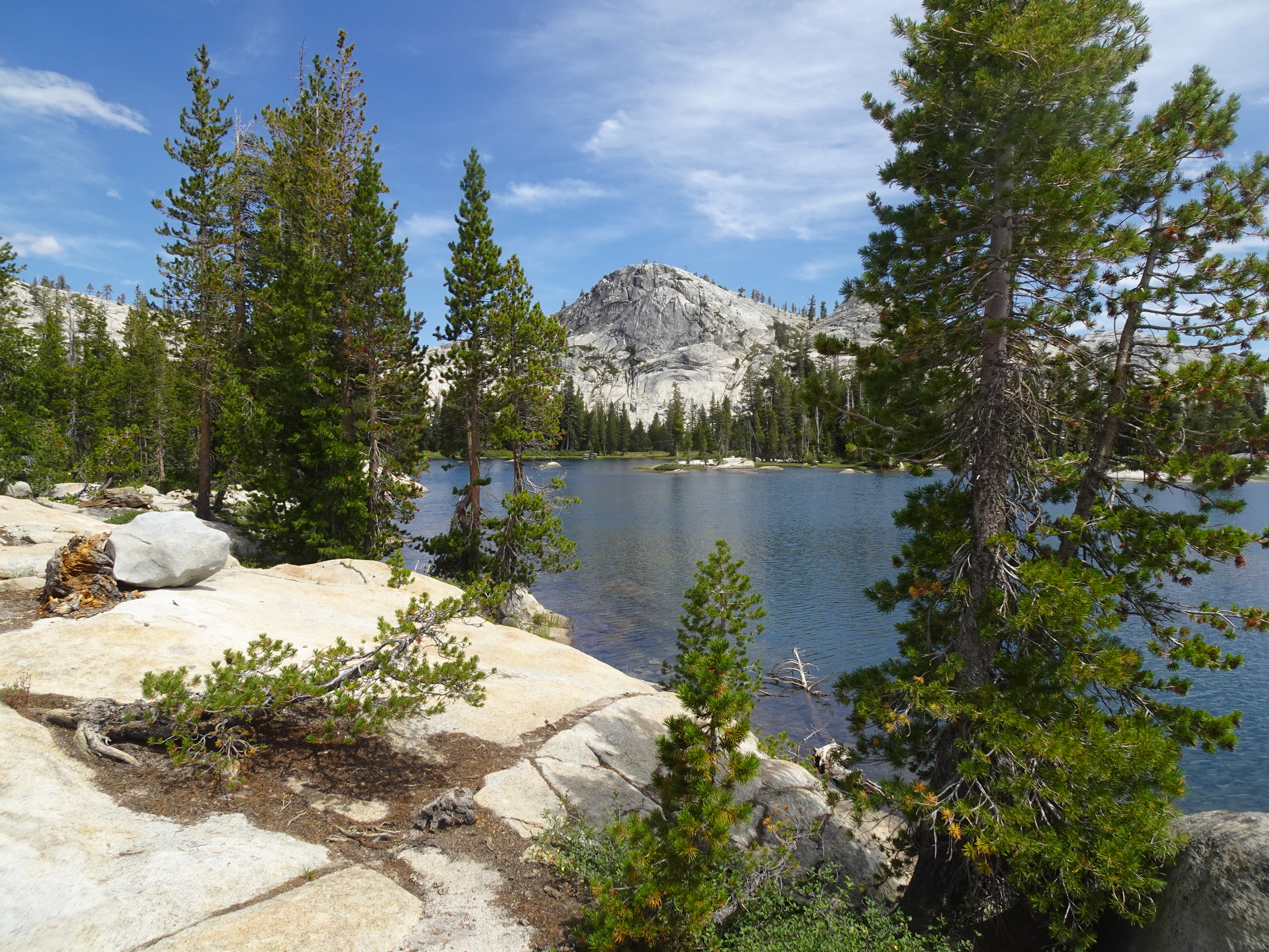
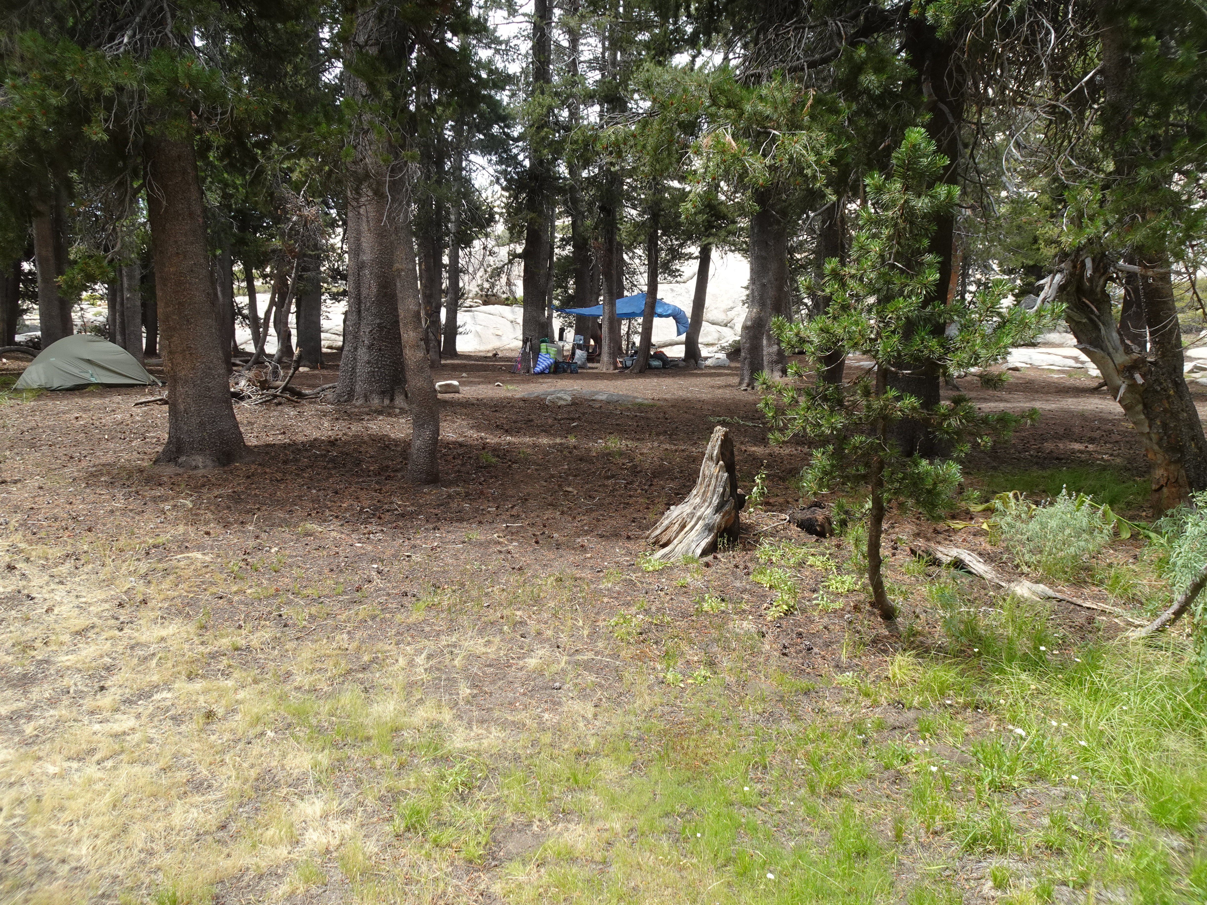
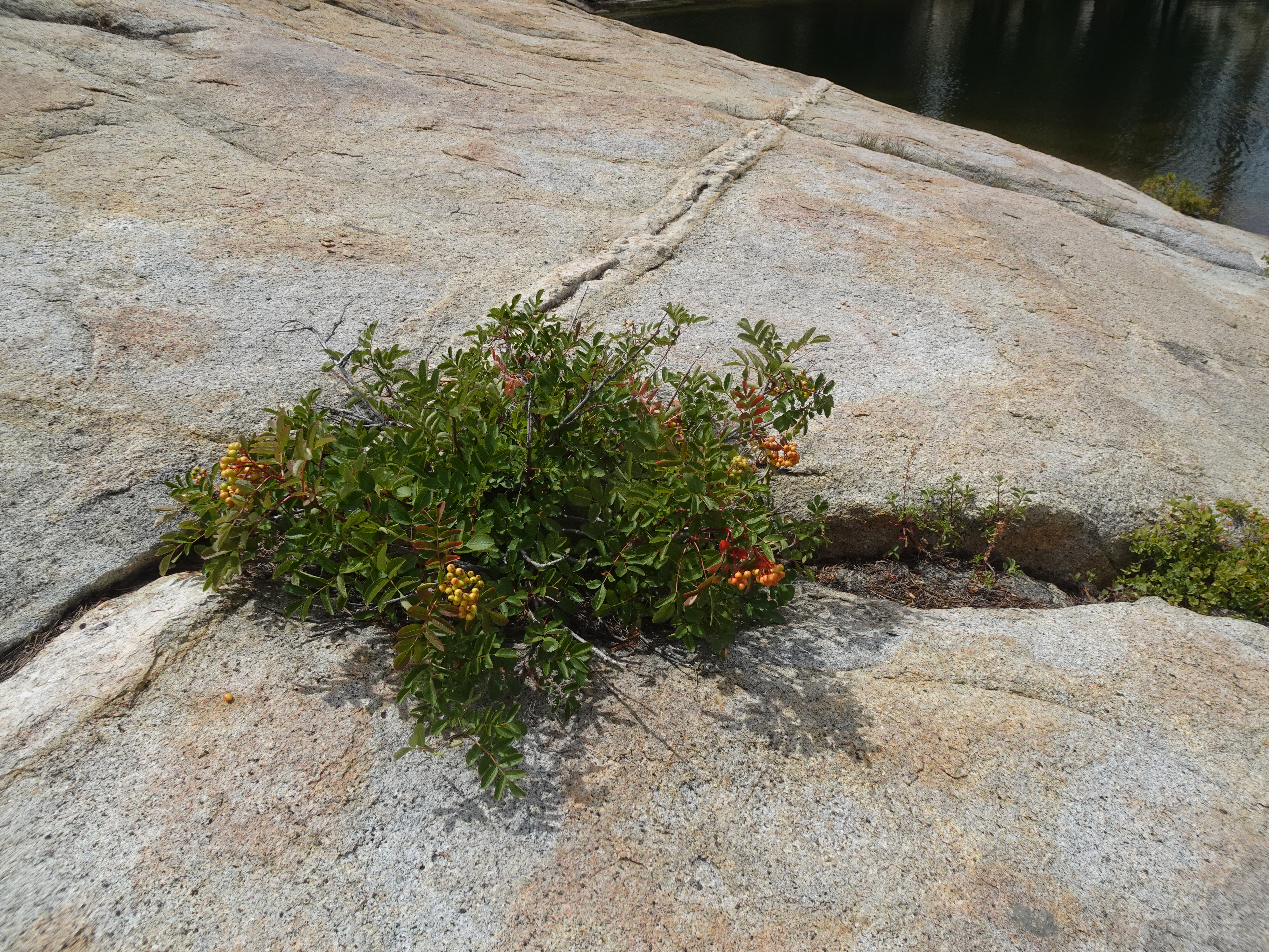
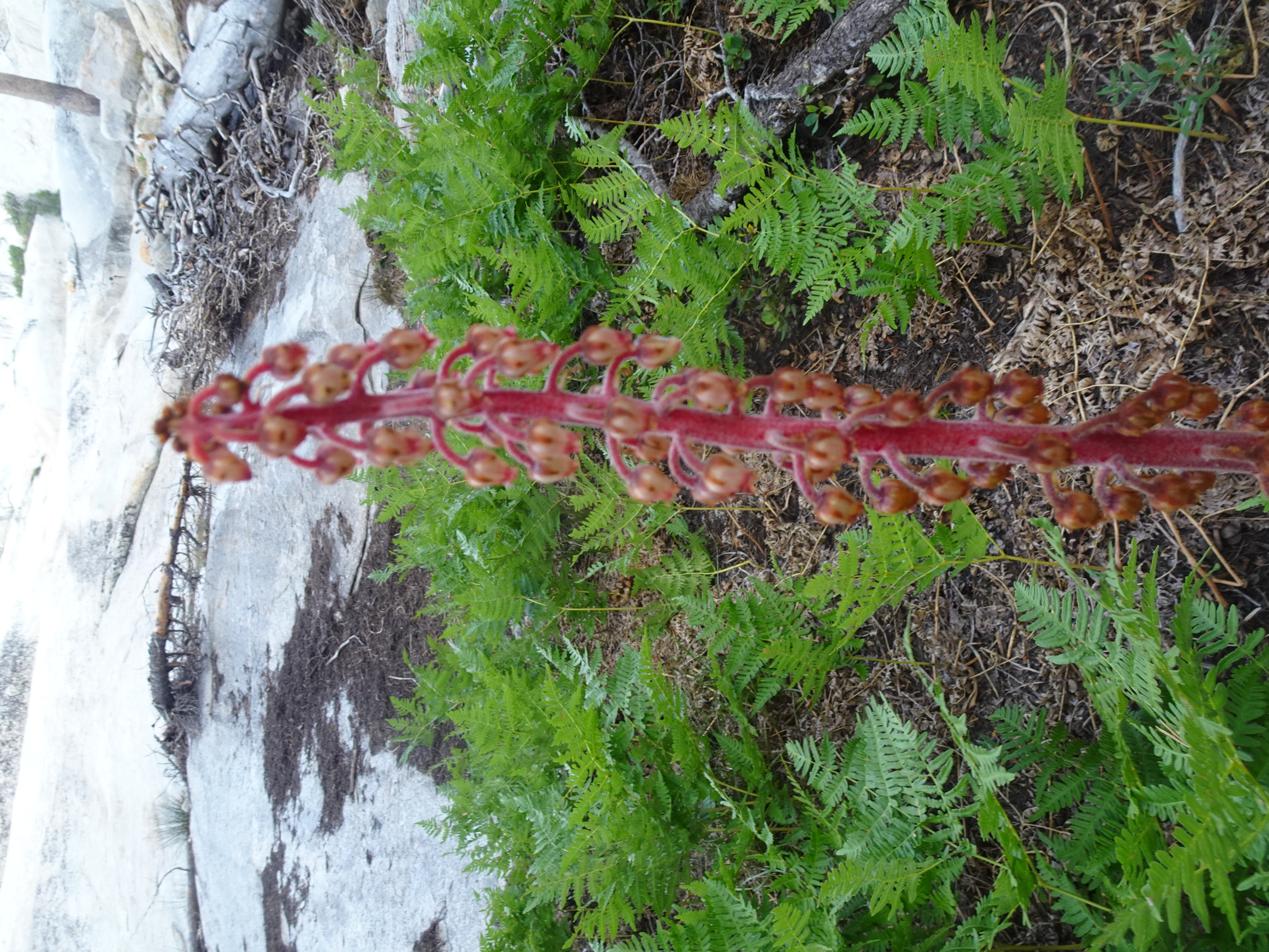
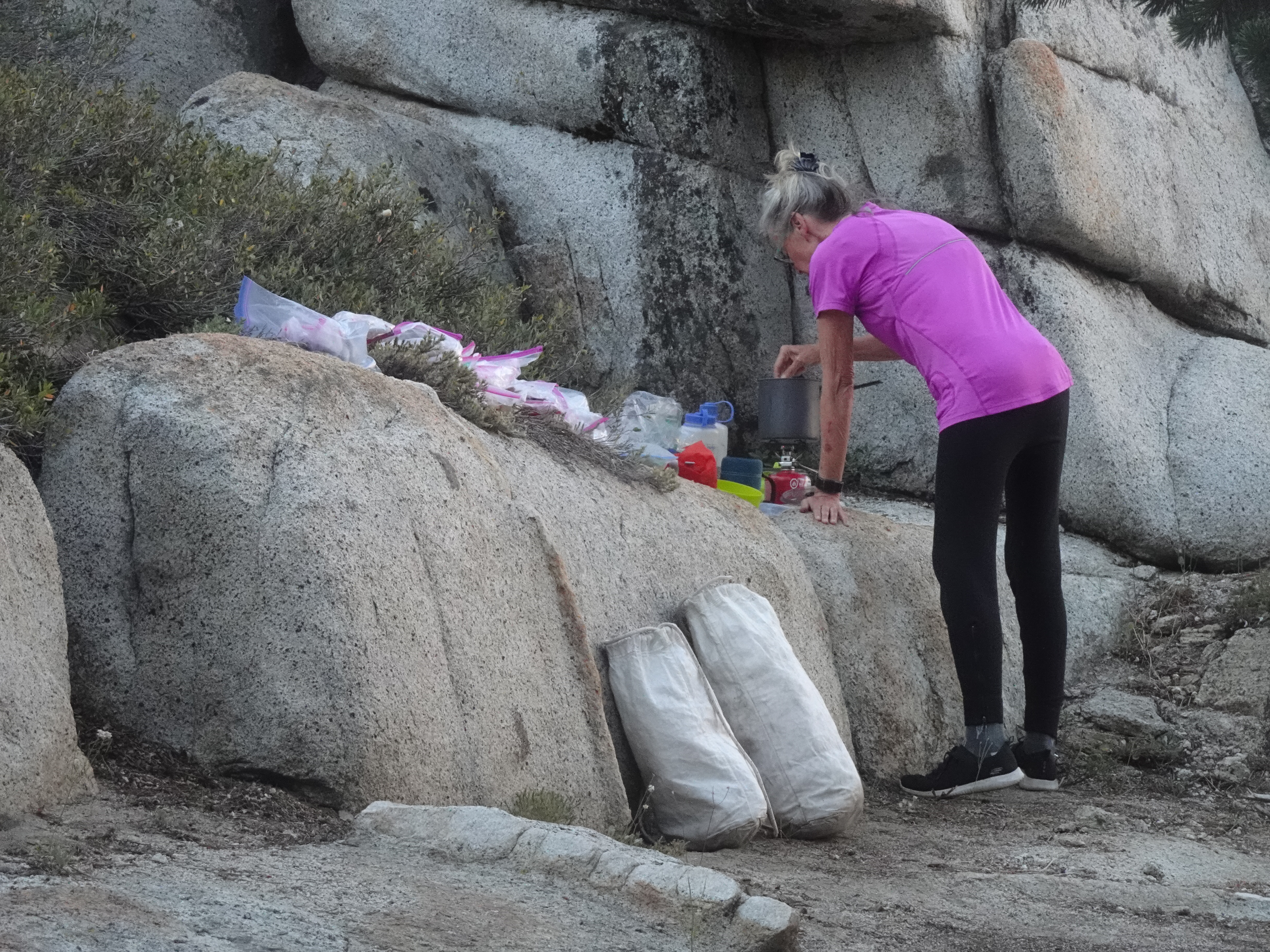
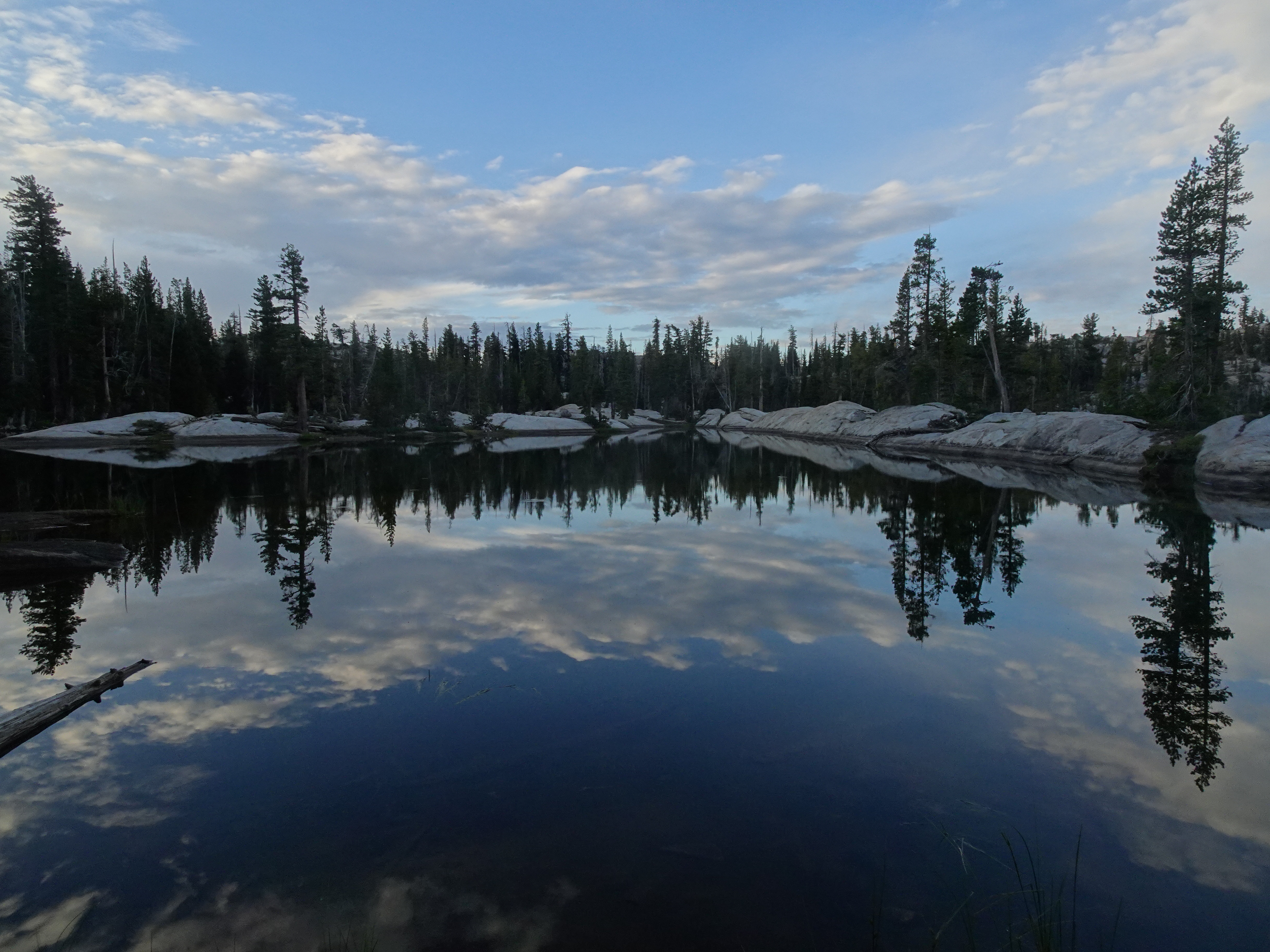
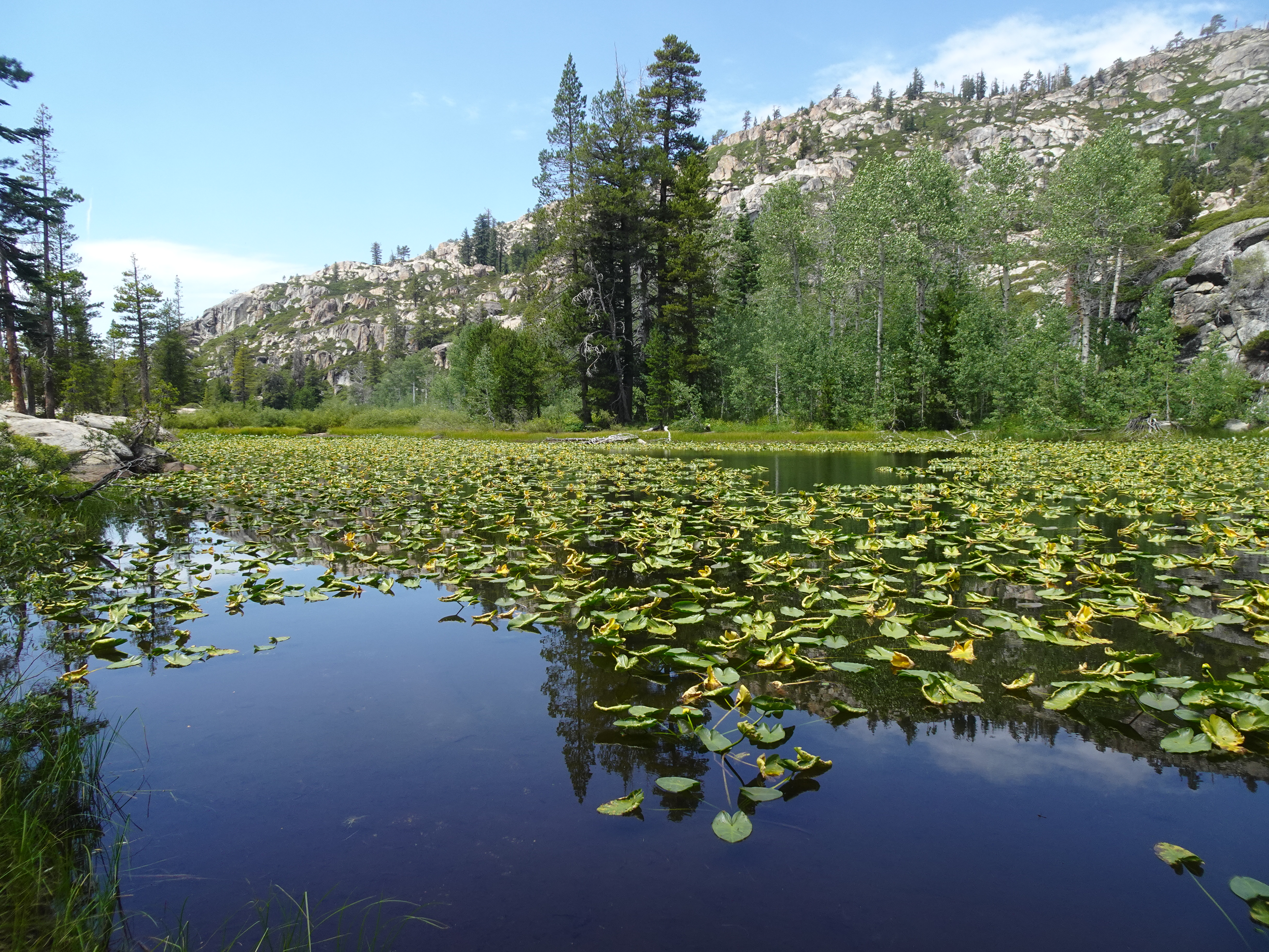
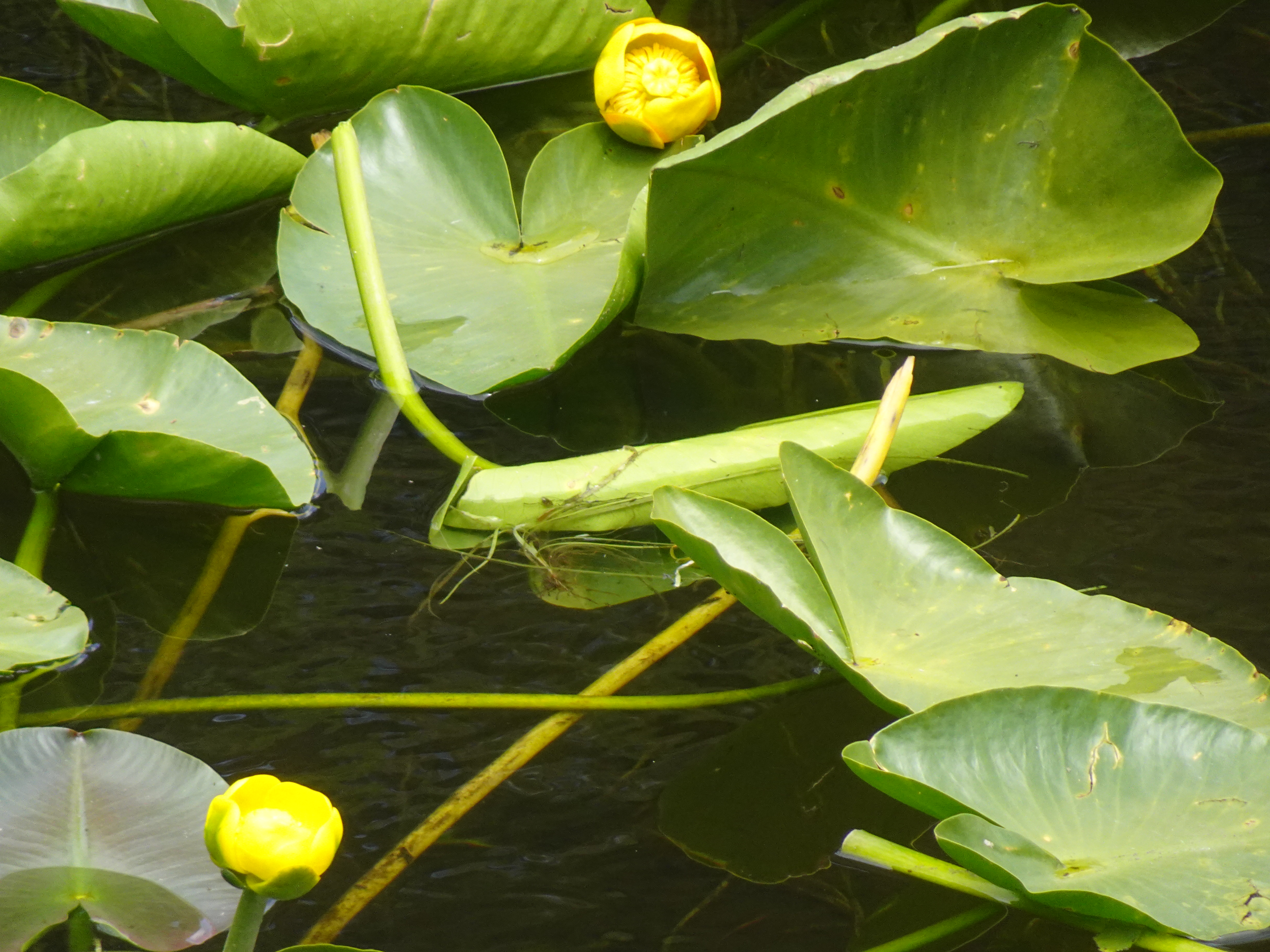
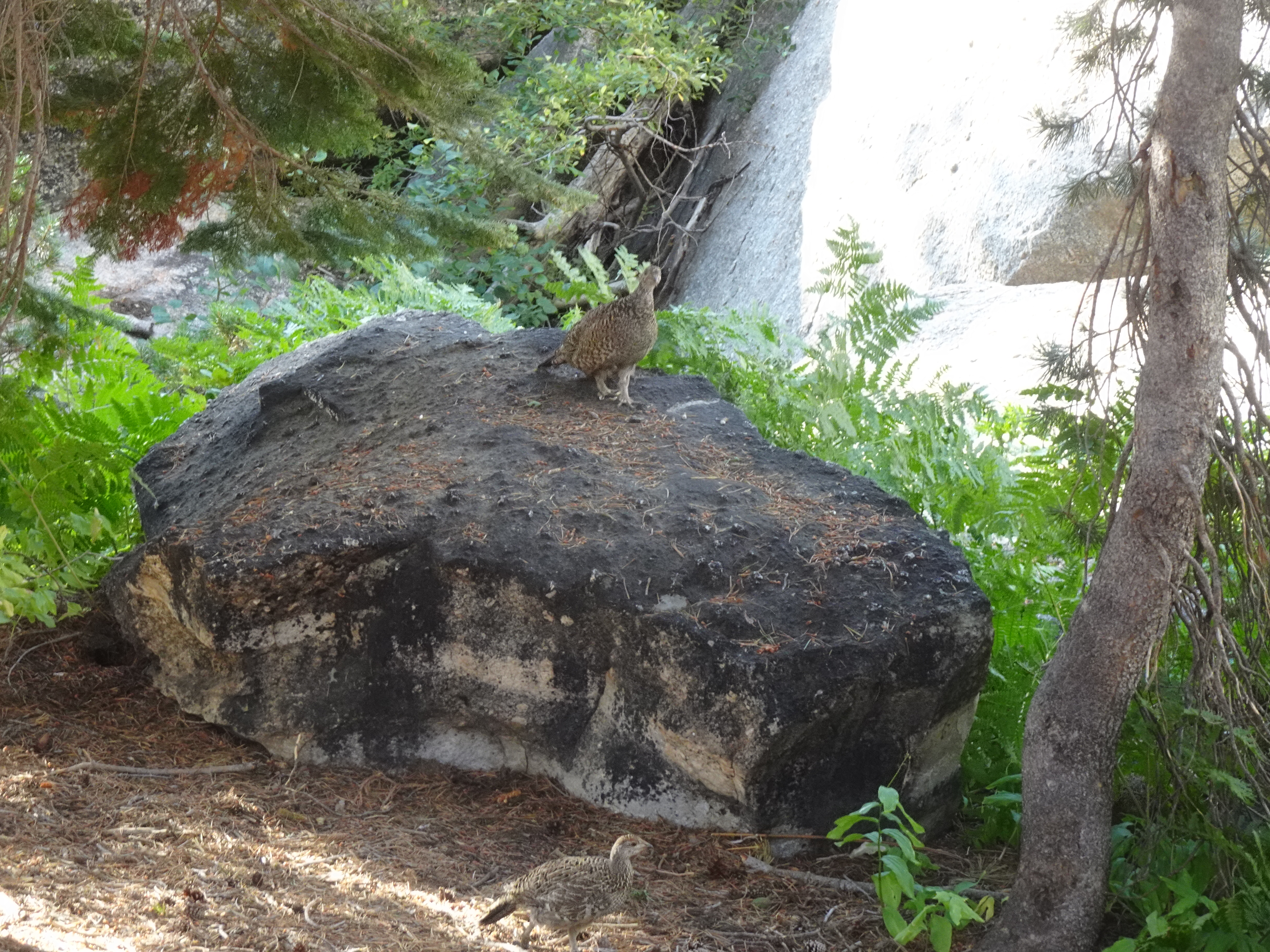
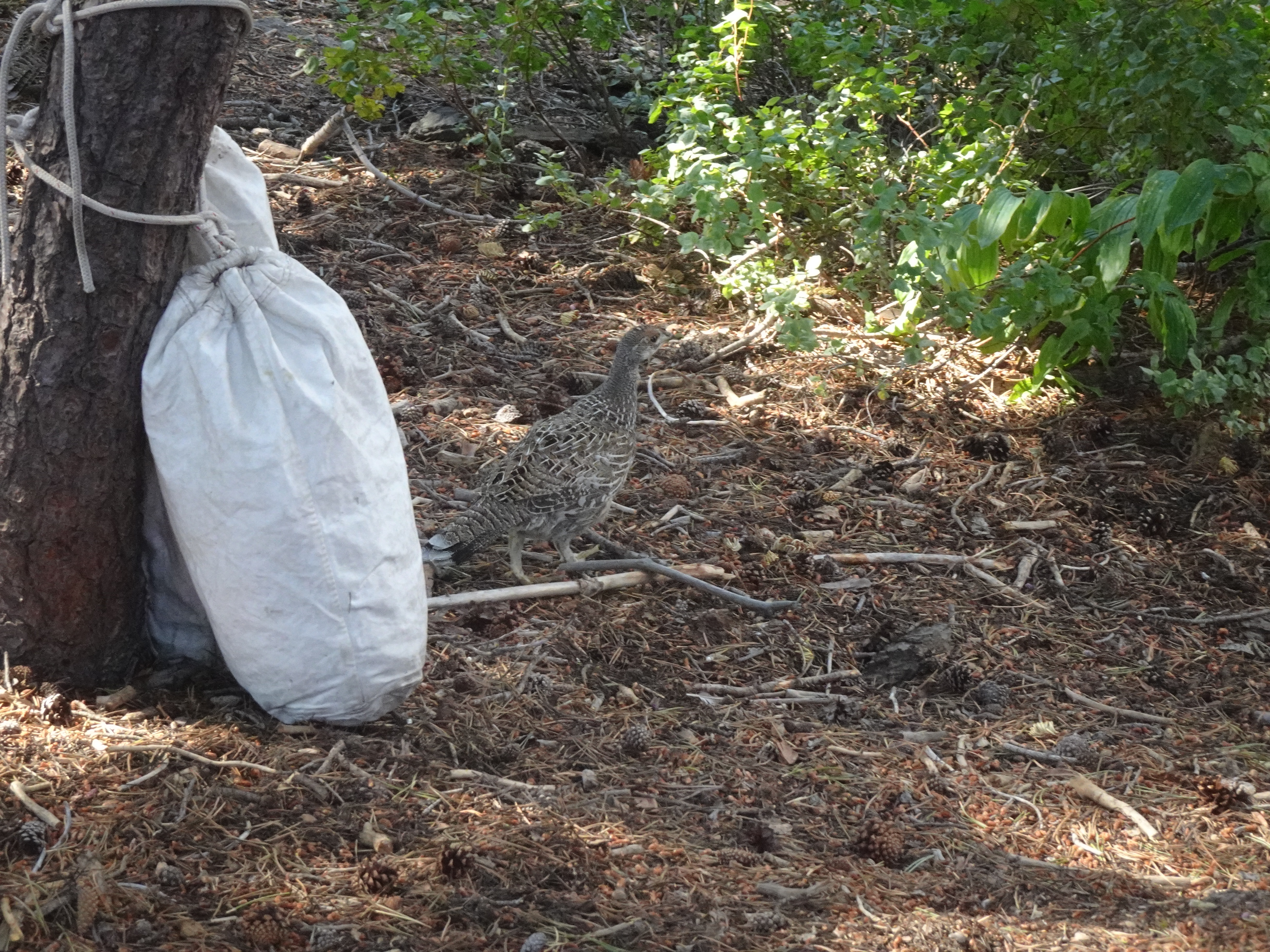
We backpacked from Buck Meadow Creek to Pingree Lake, where we would stay for the next 3 nights. Although it was August, there were plenty of flowers, such as the toyon, daisies, and coral root shown below the two pictures of Pingree Lake which follow.
On our way around the lake to find a campsite, we passed a large camp set up with all sorts of supplies, clearly these folks had taken the opportunity to have pack horses/mules deliver the goods.
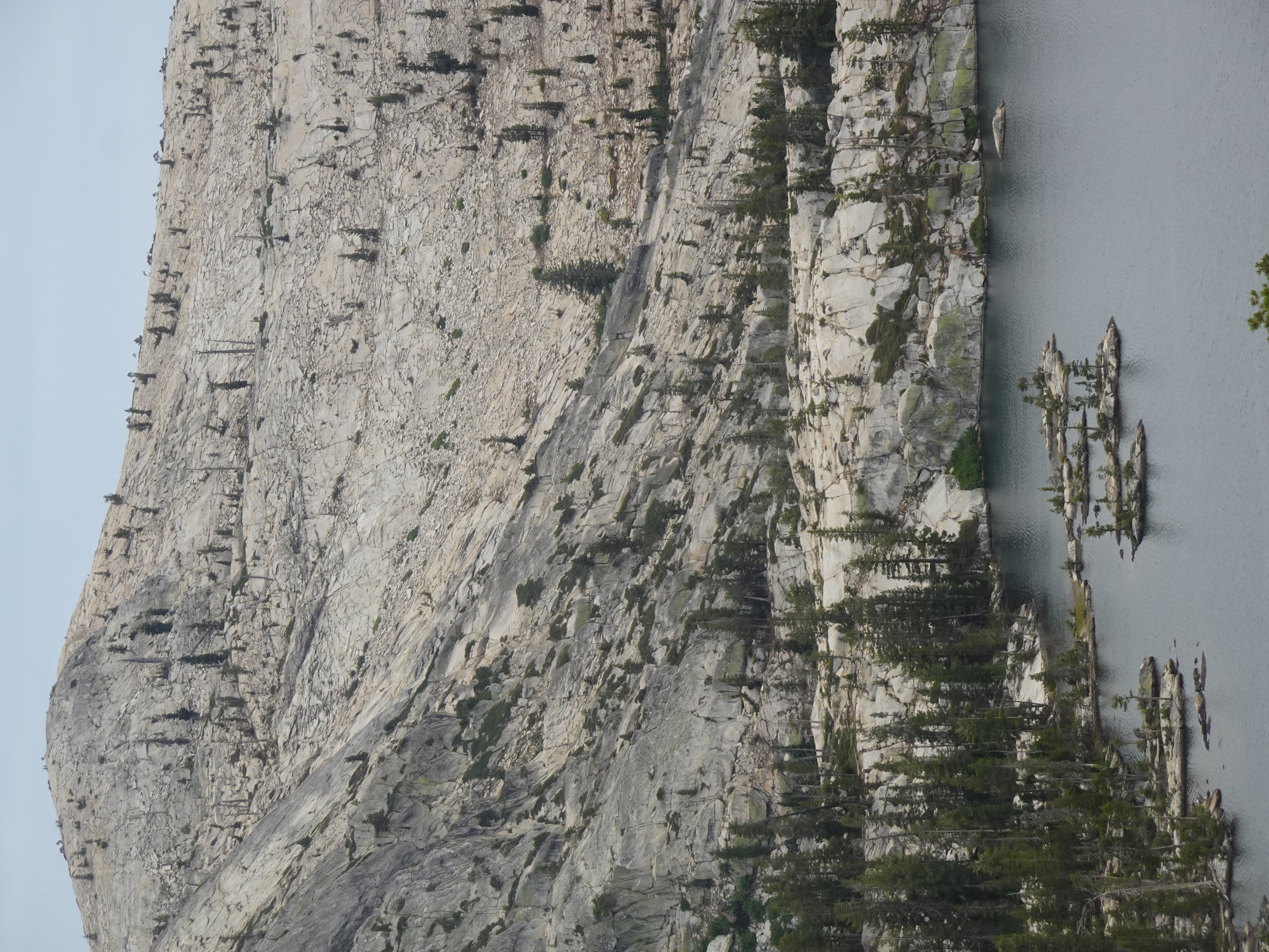
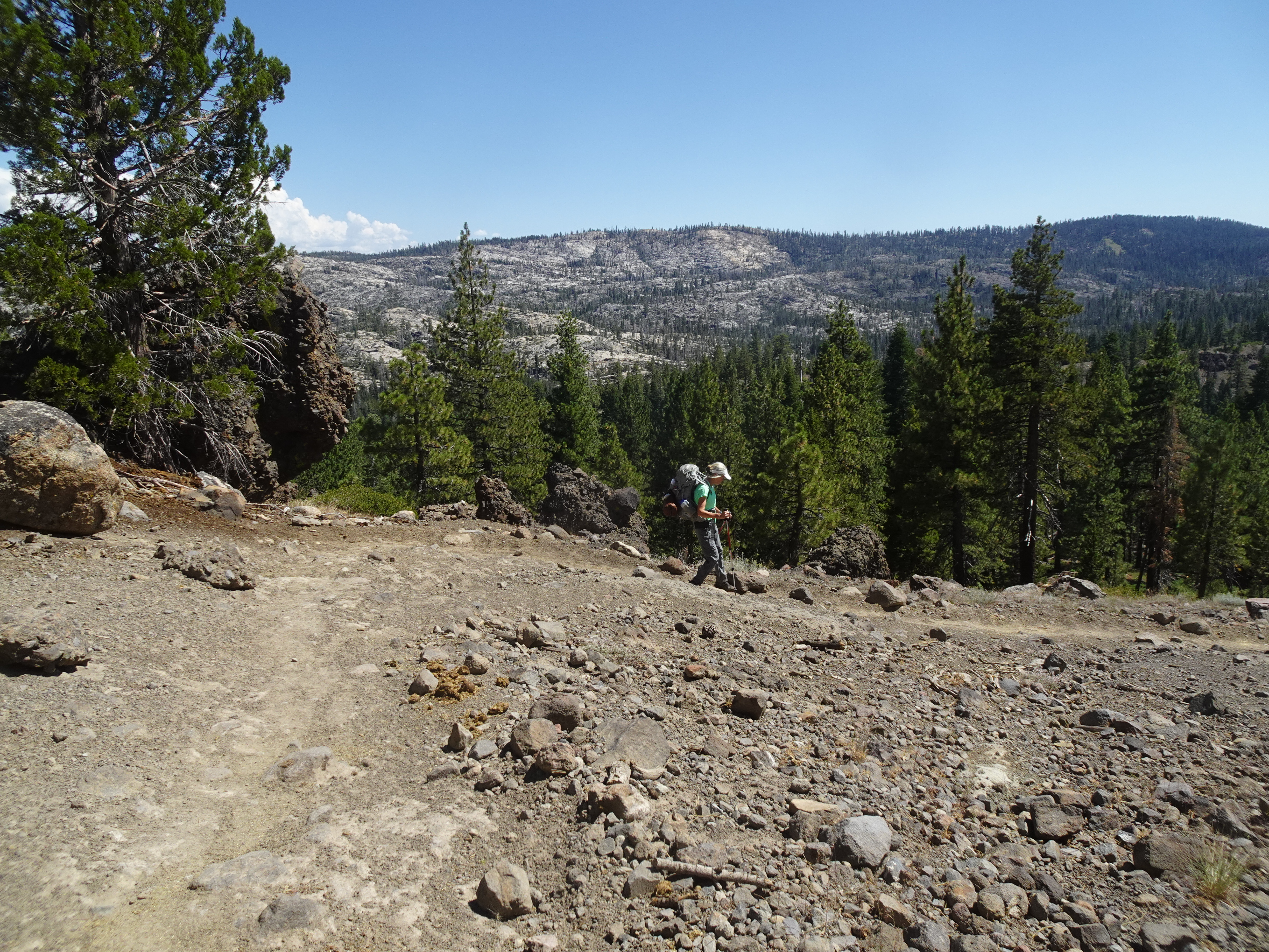
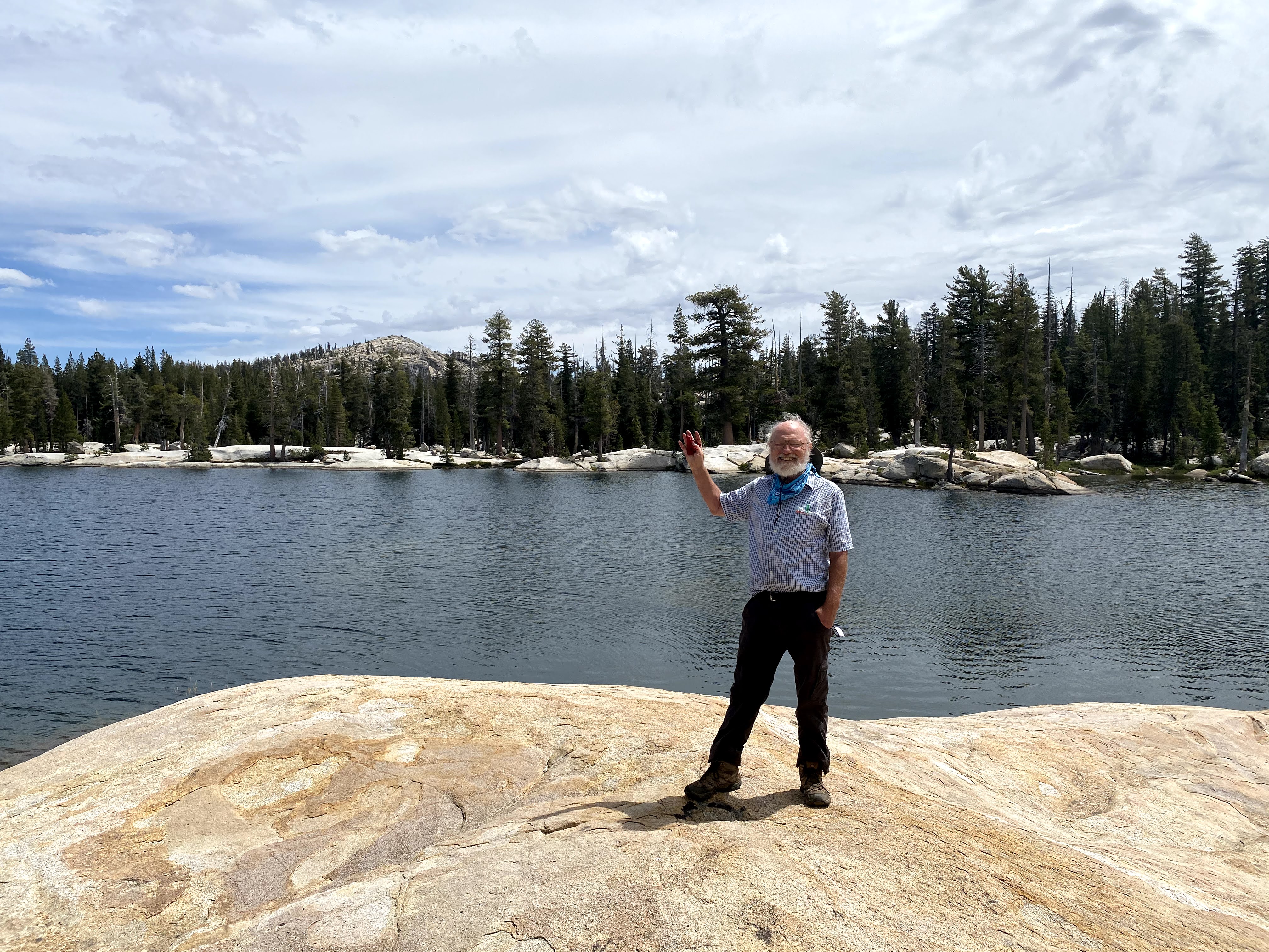
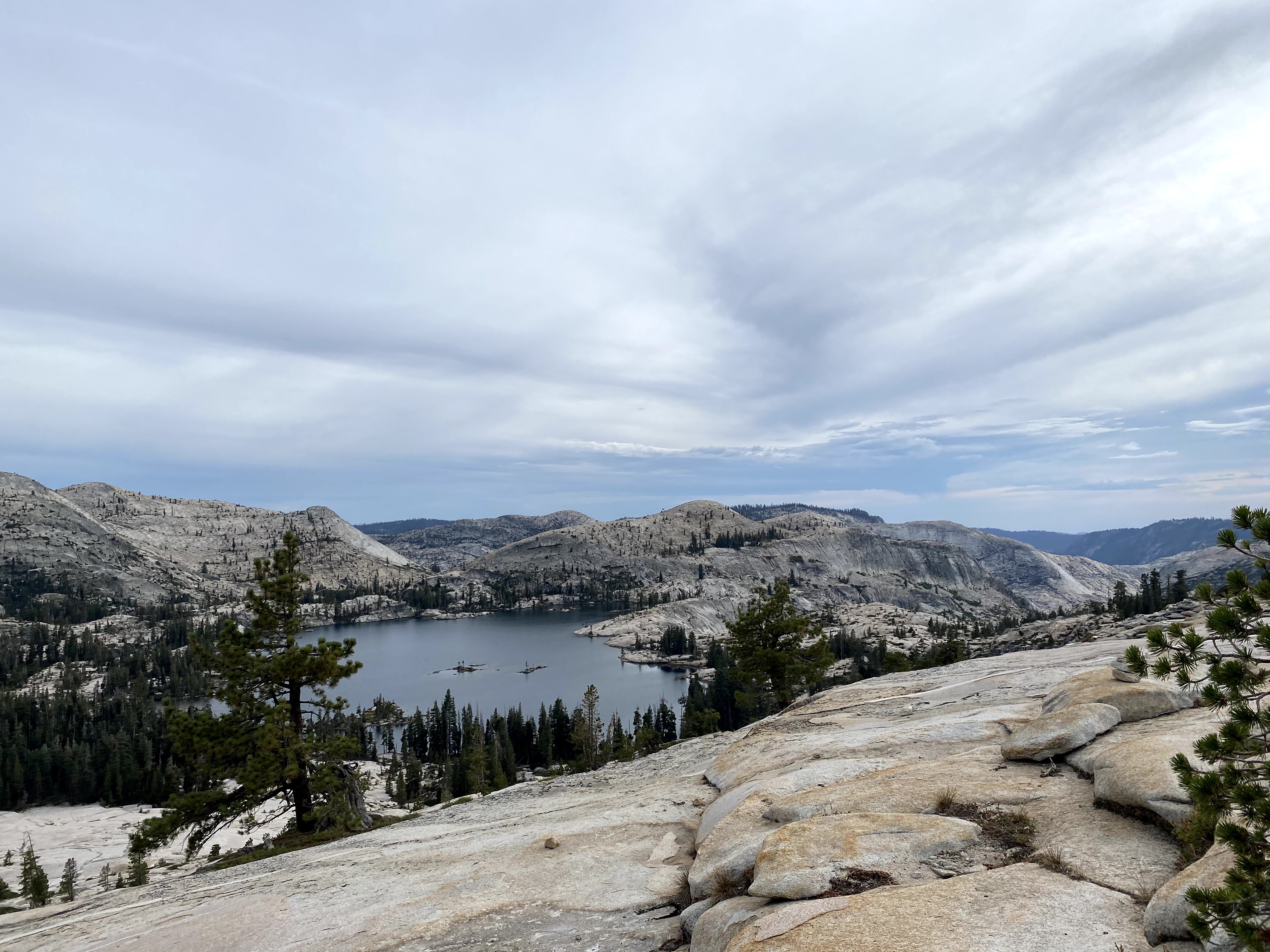
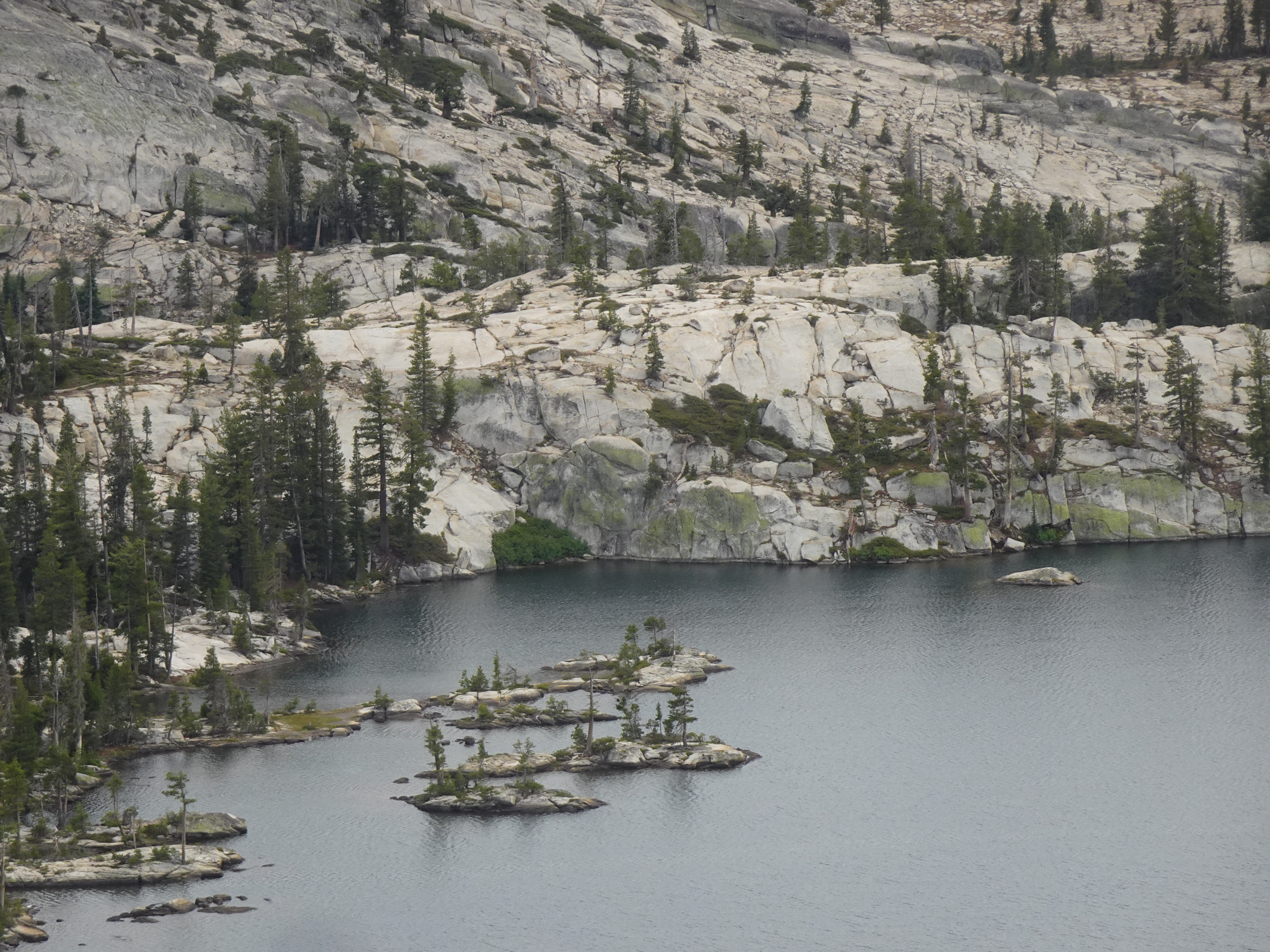
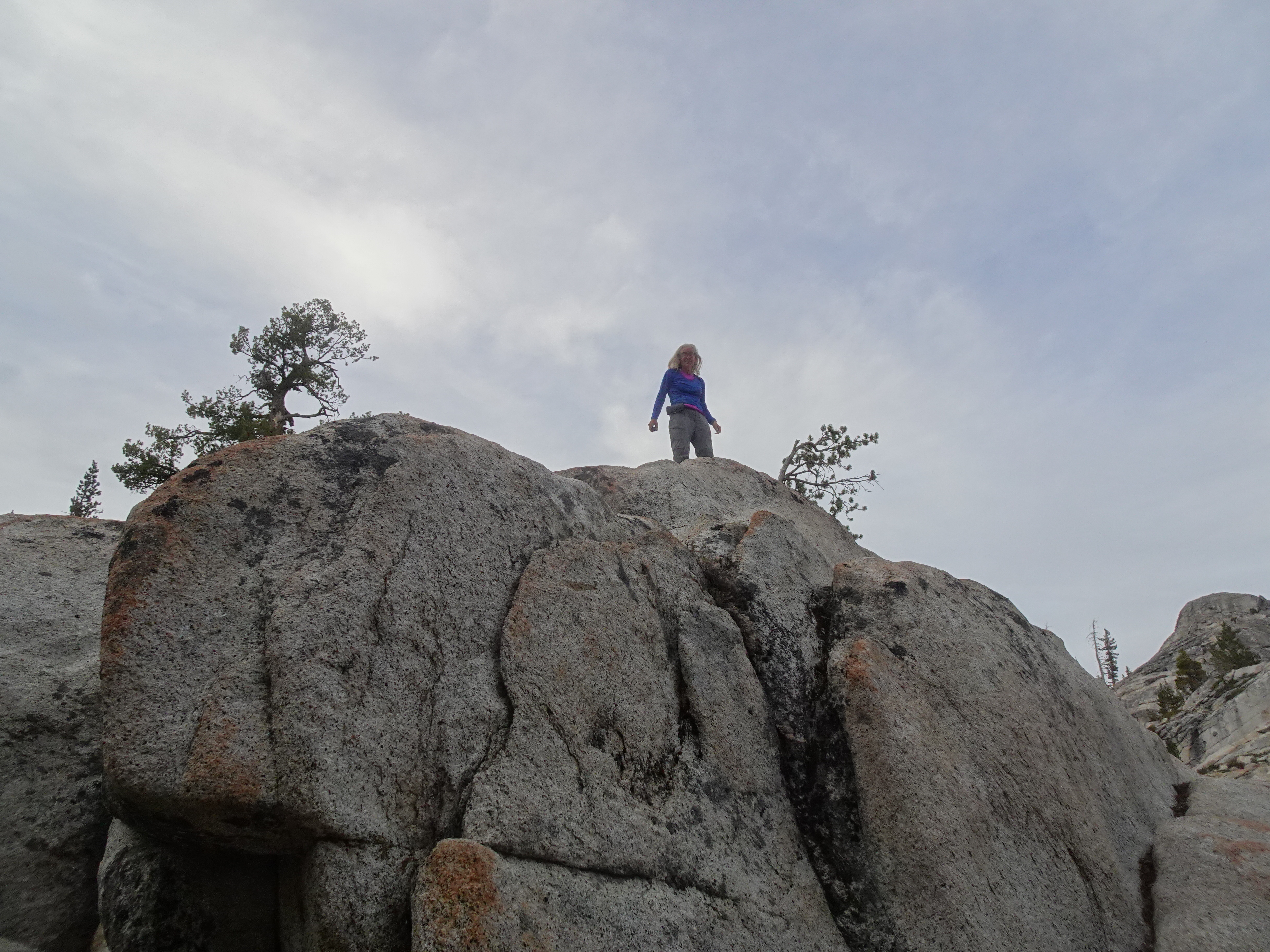
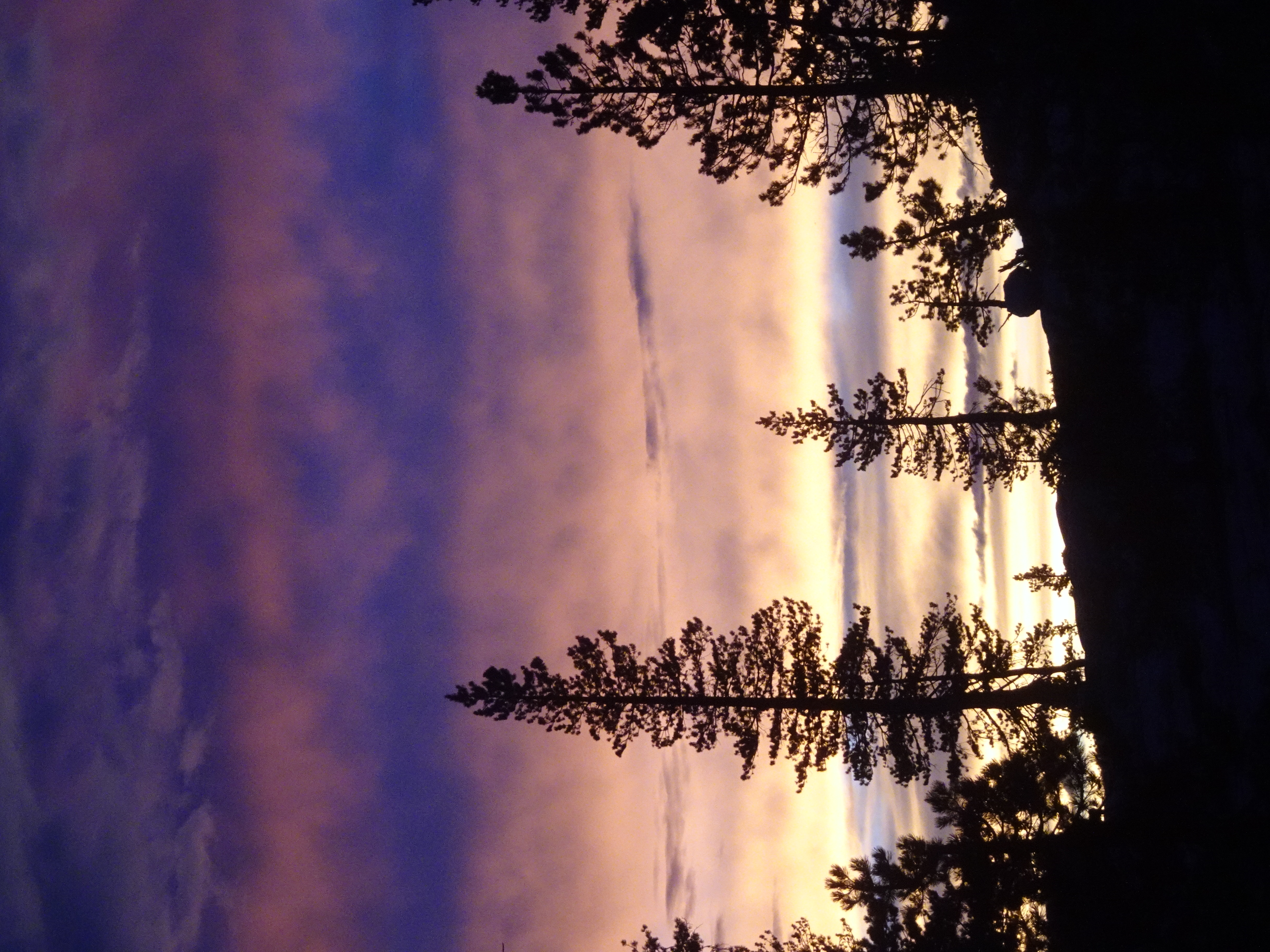
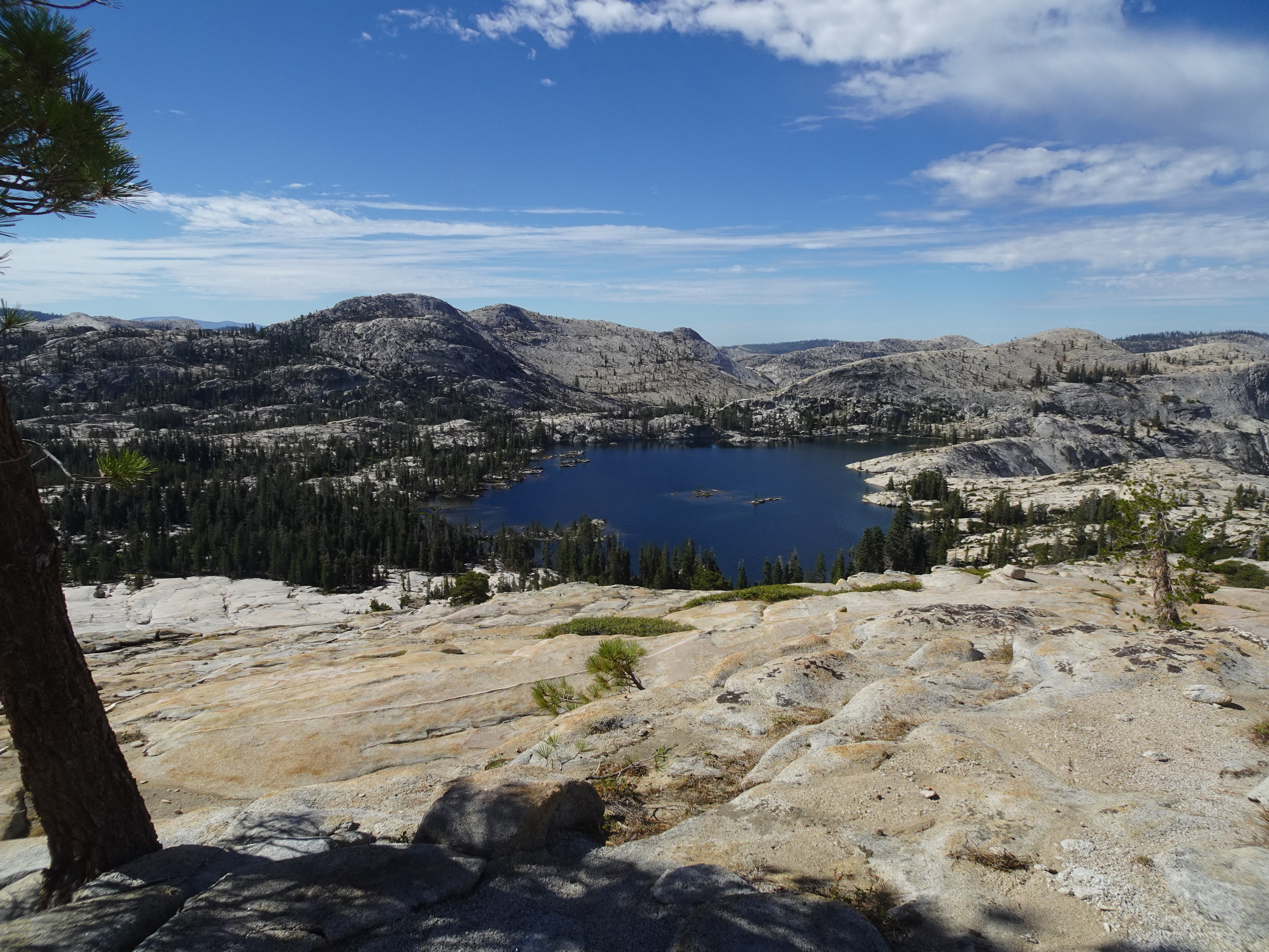
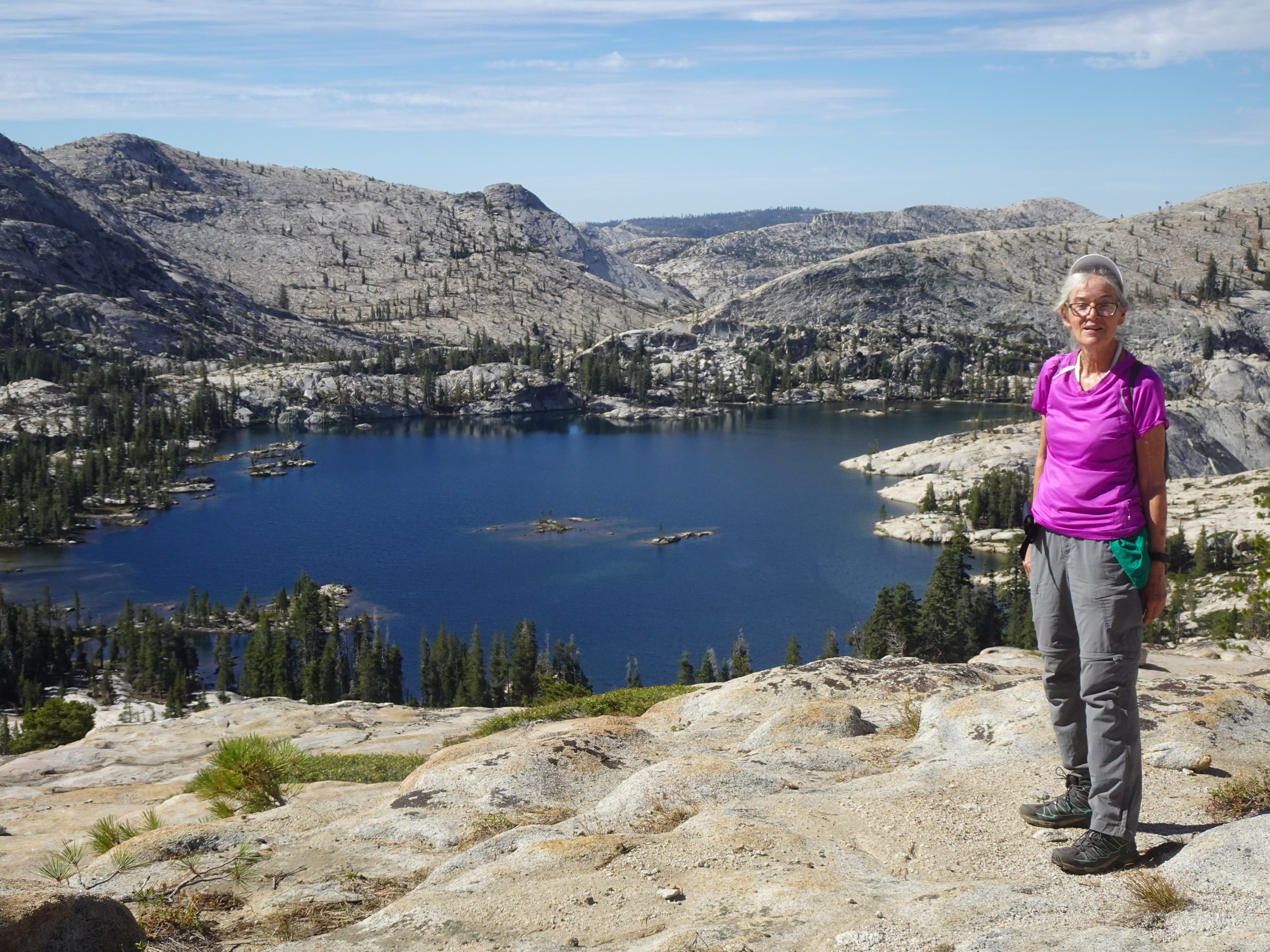
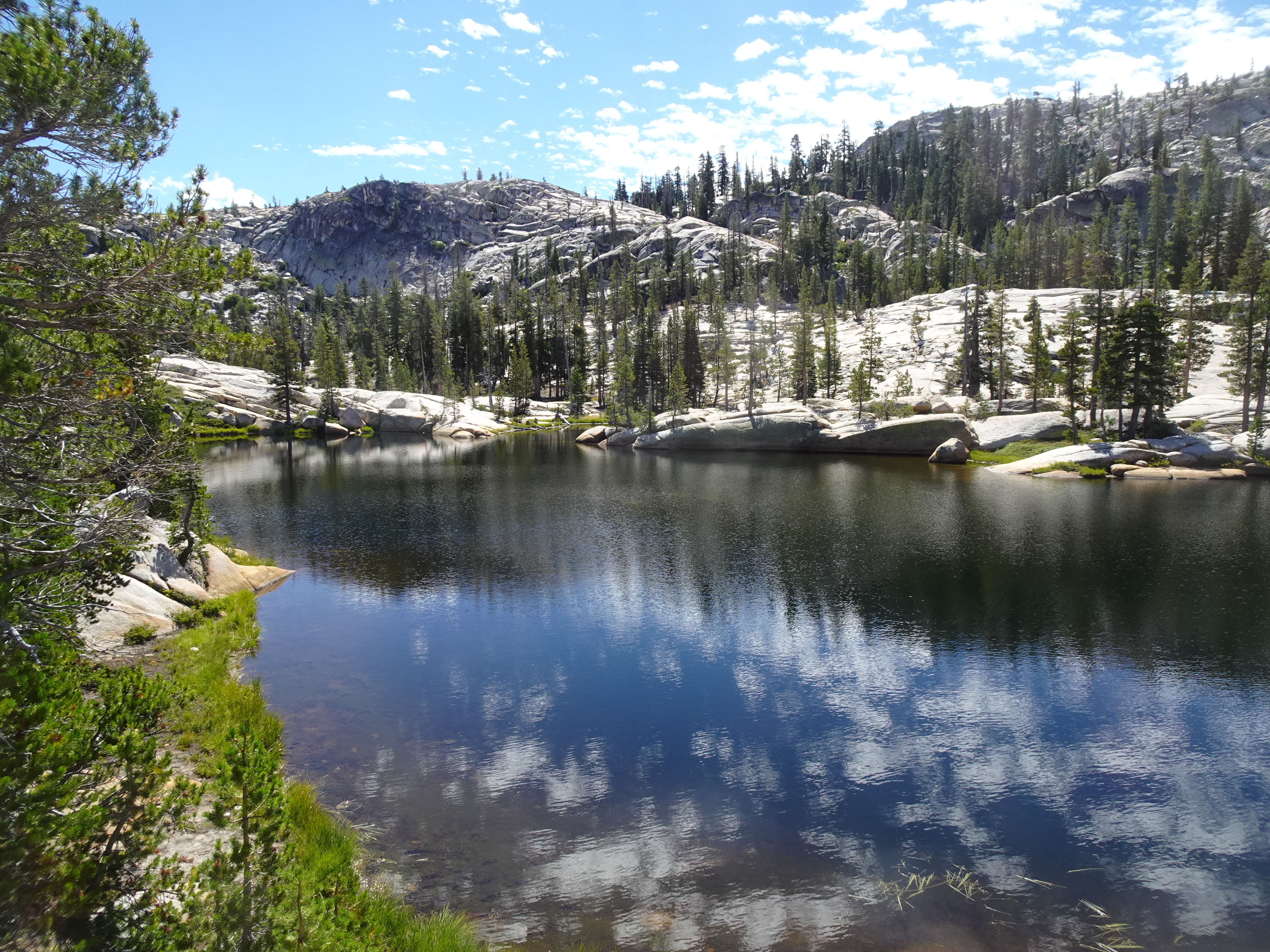
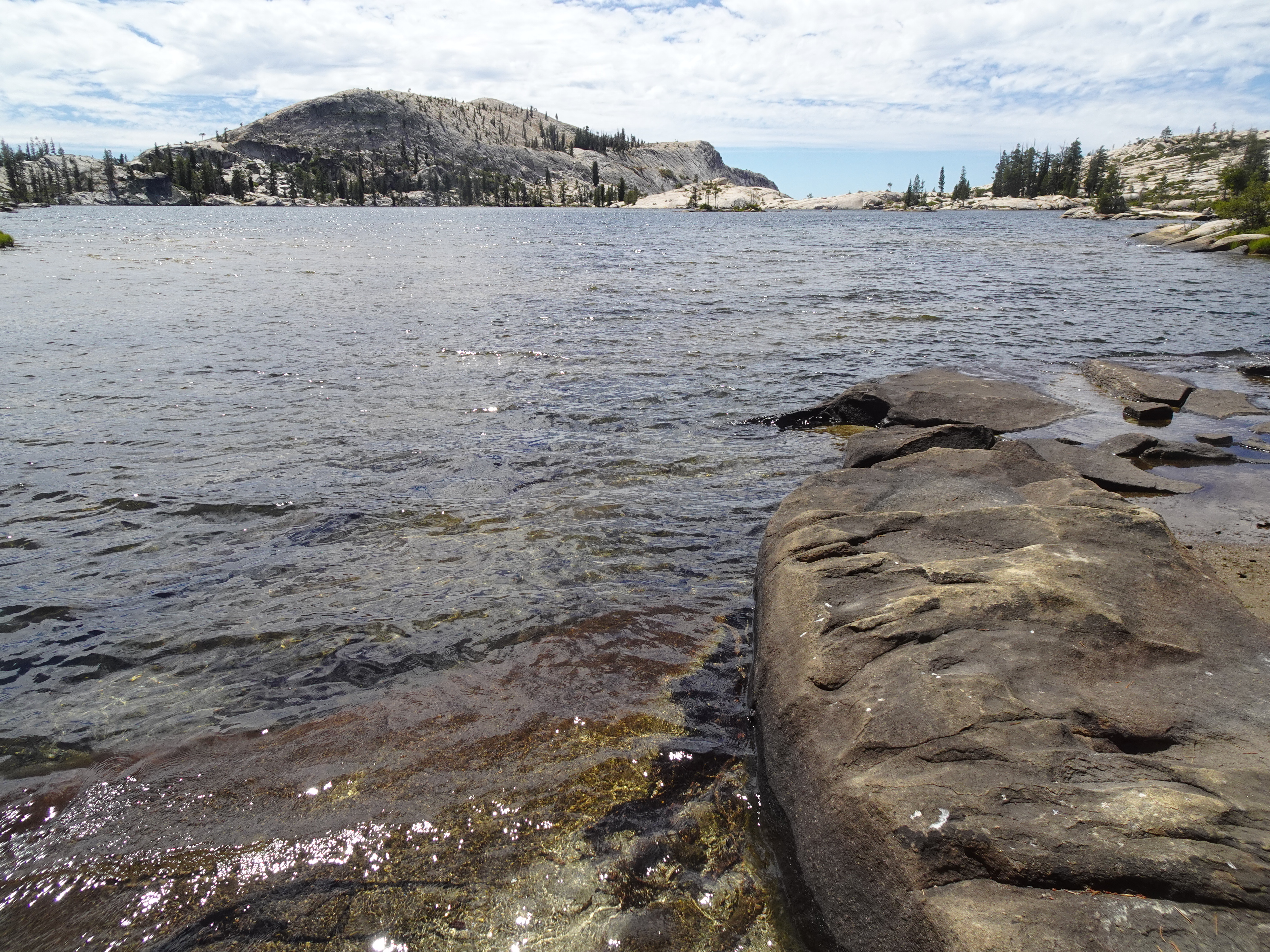
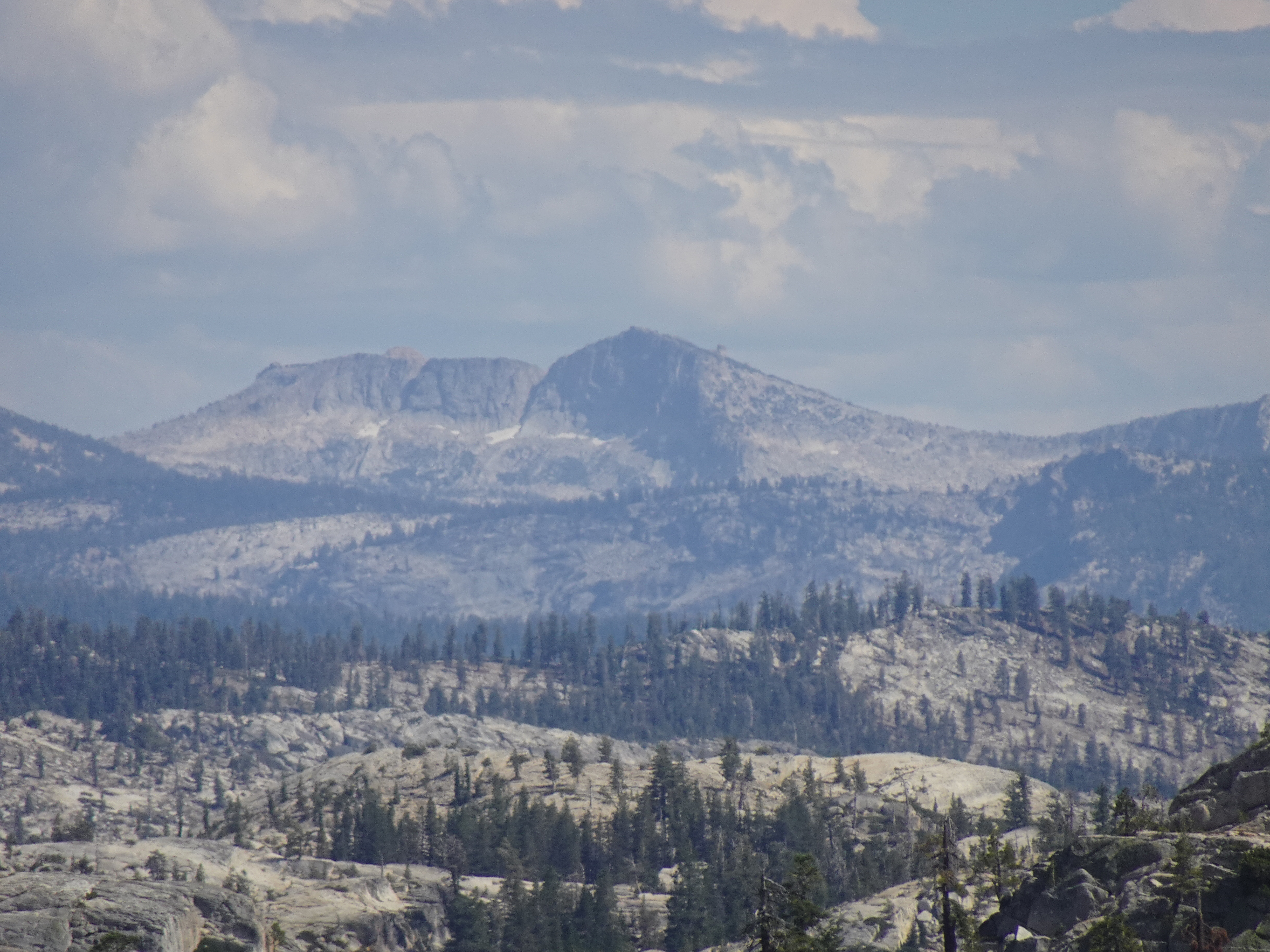
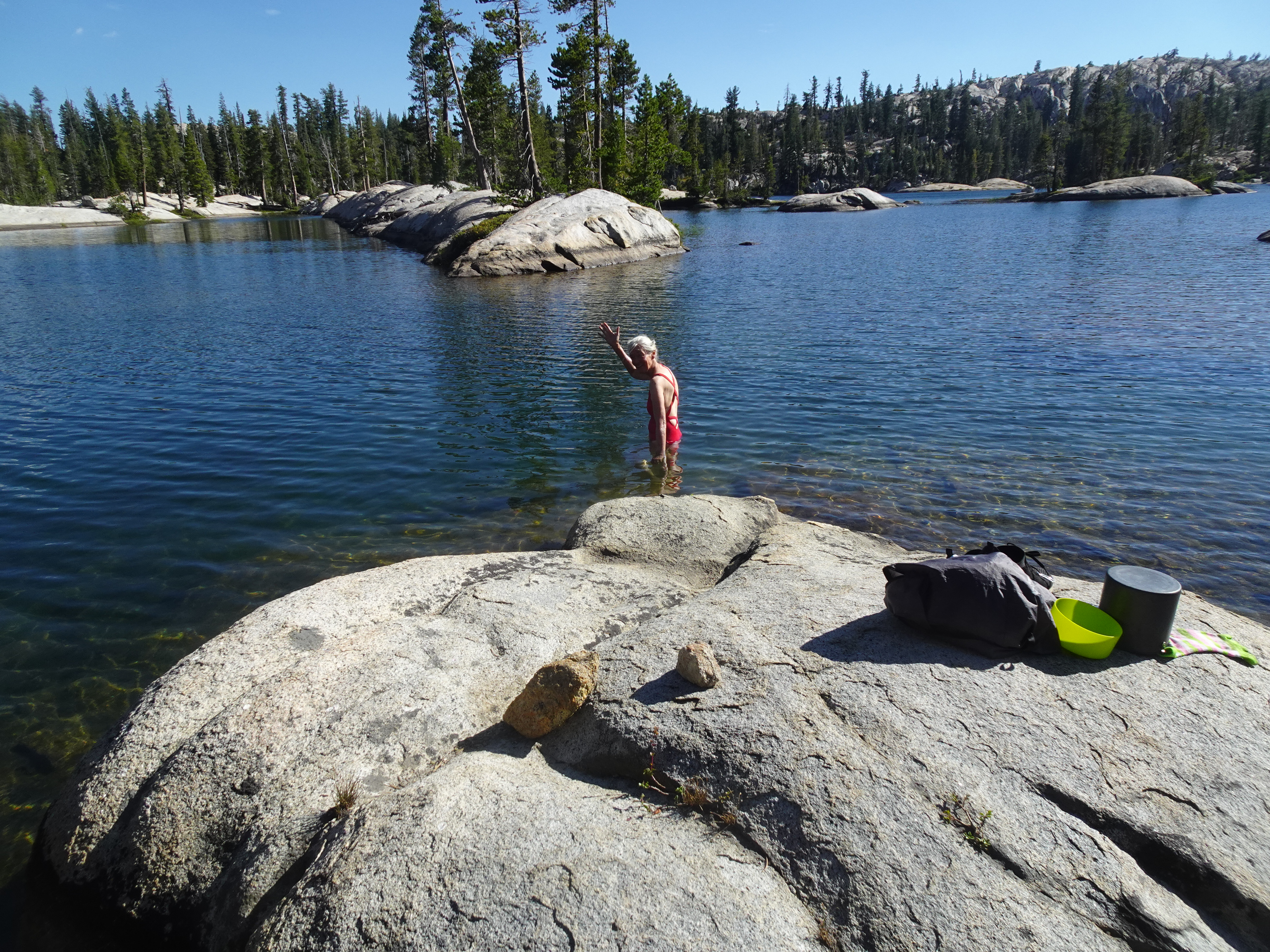
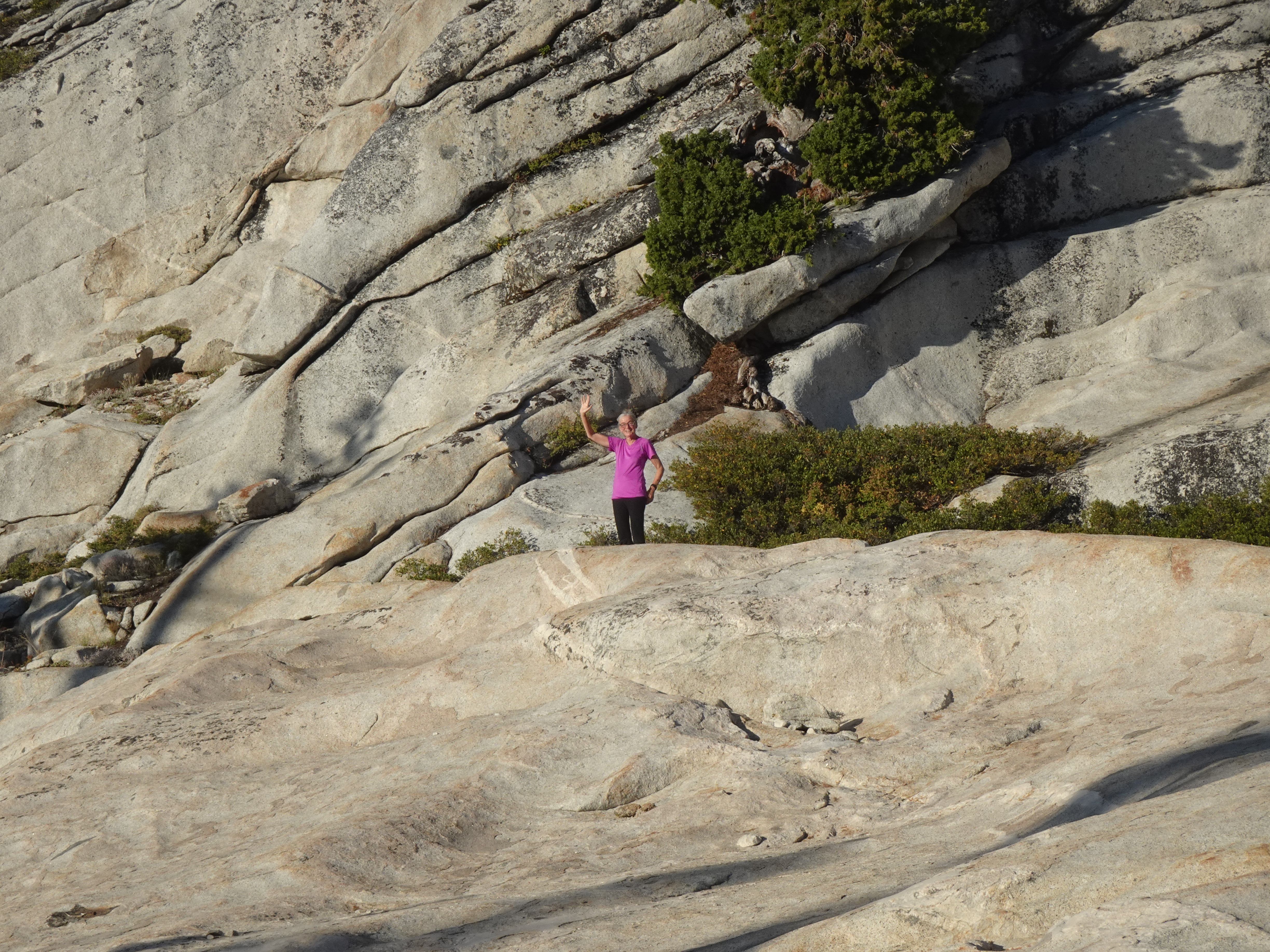
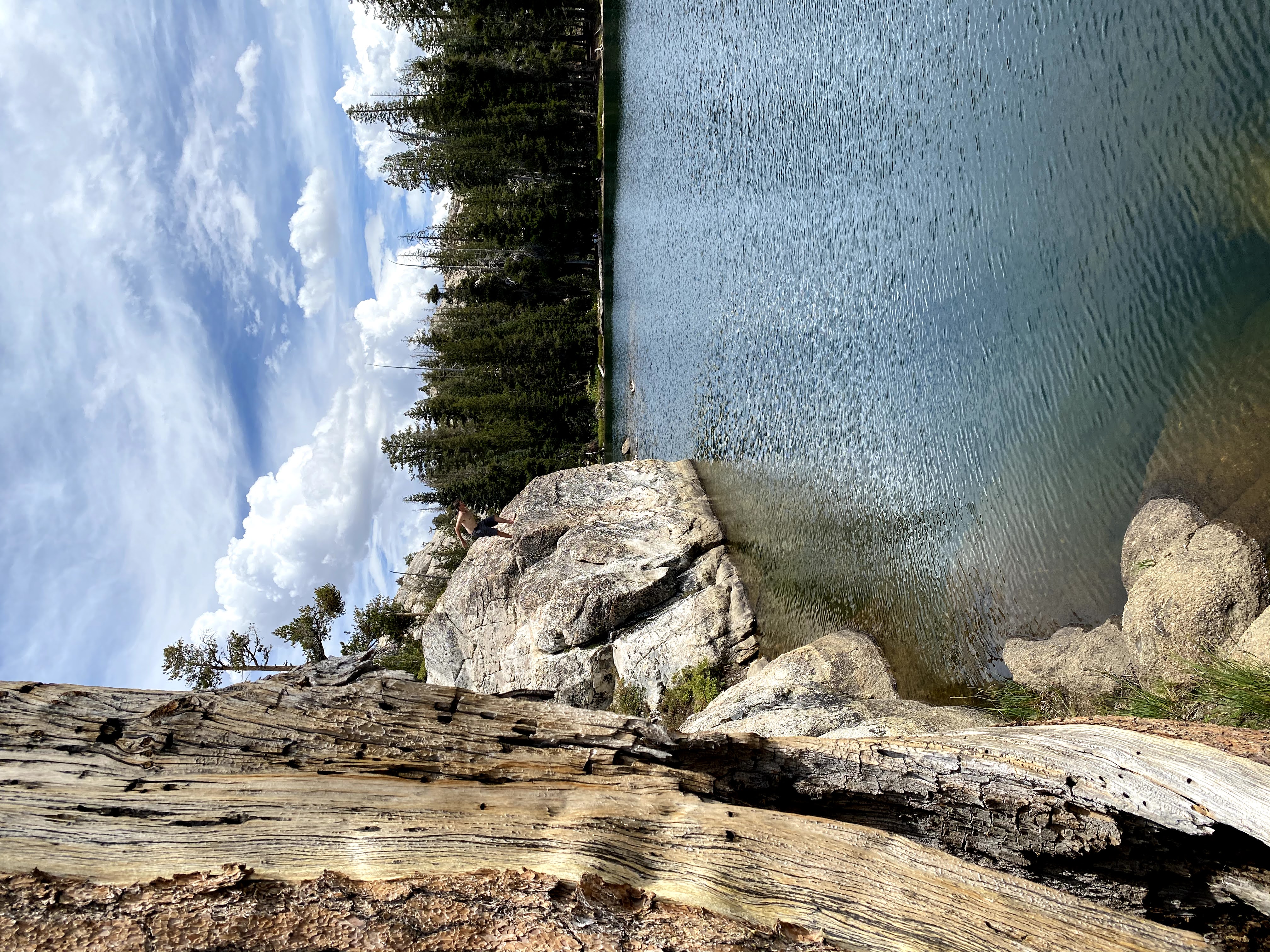
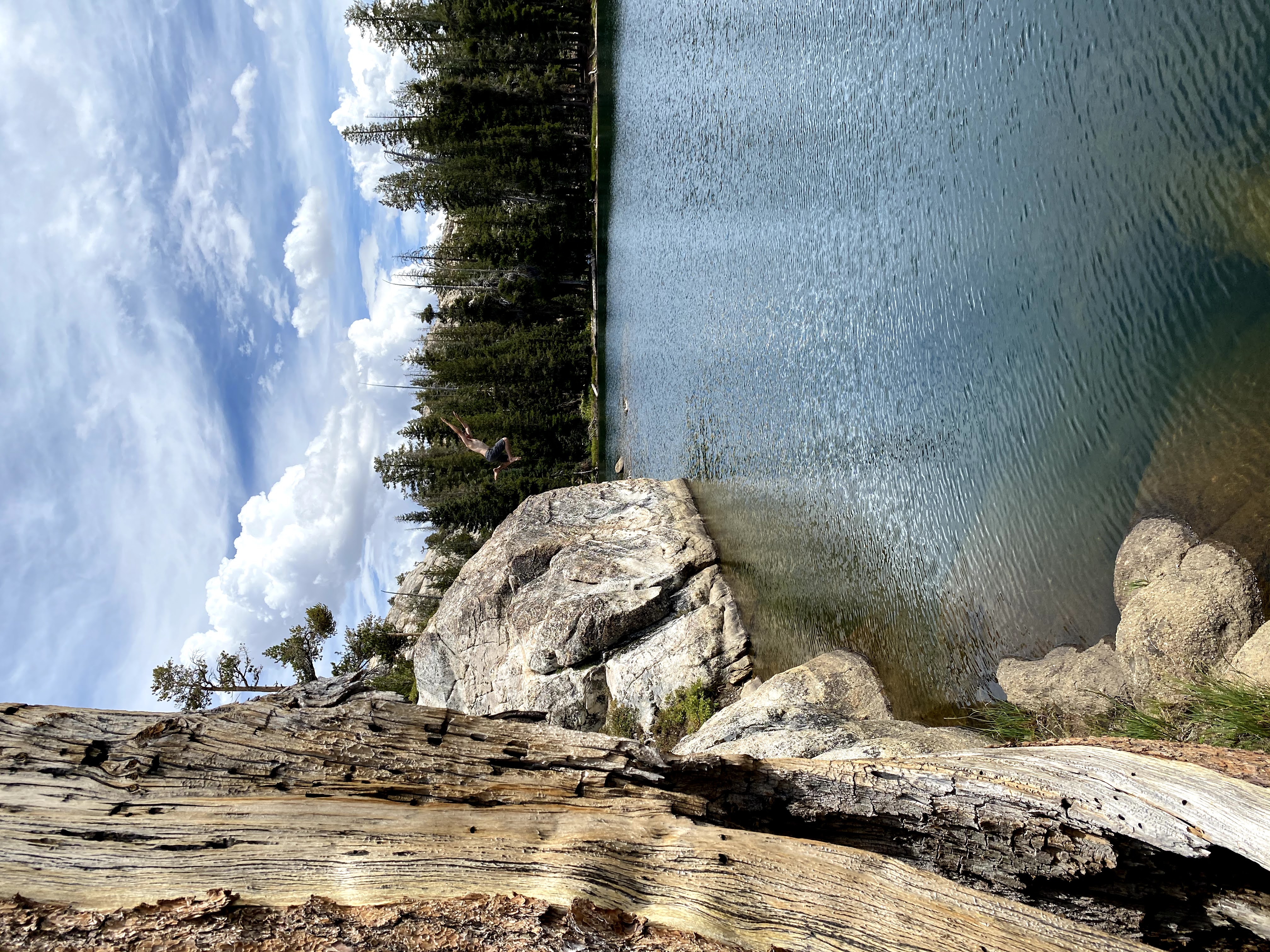
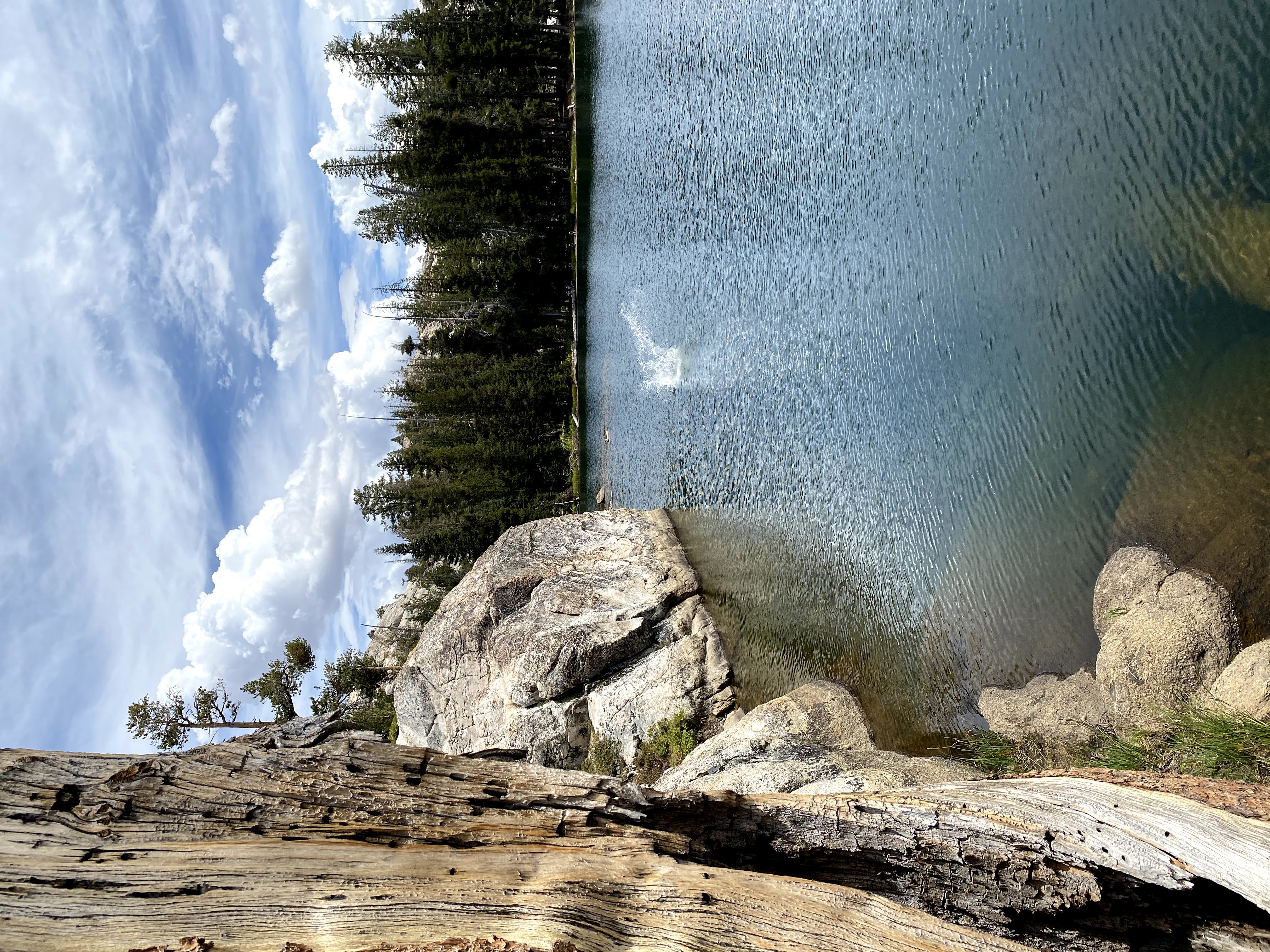
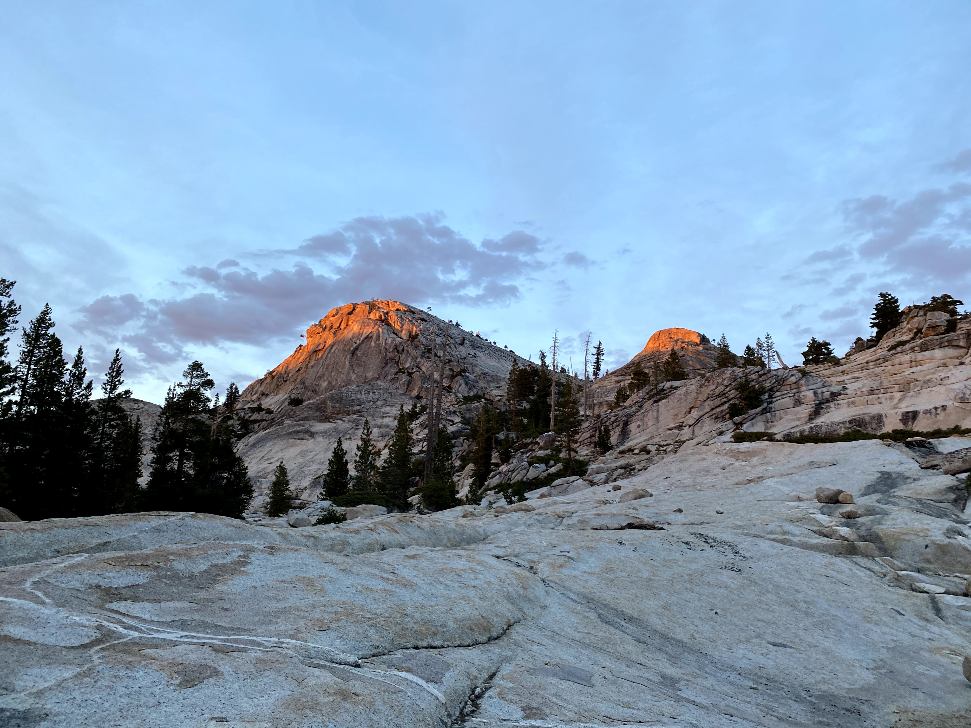
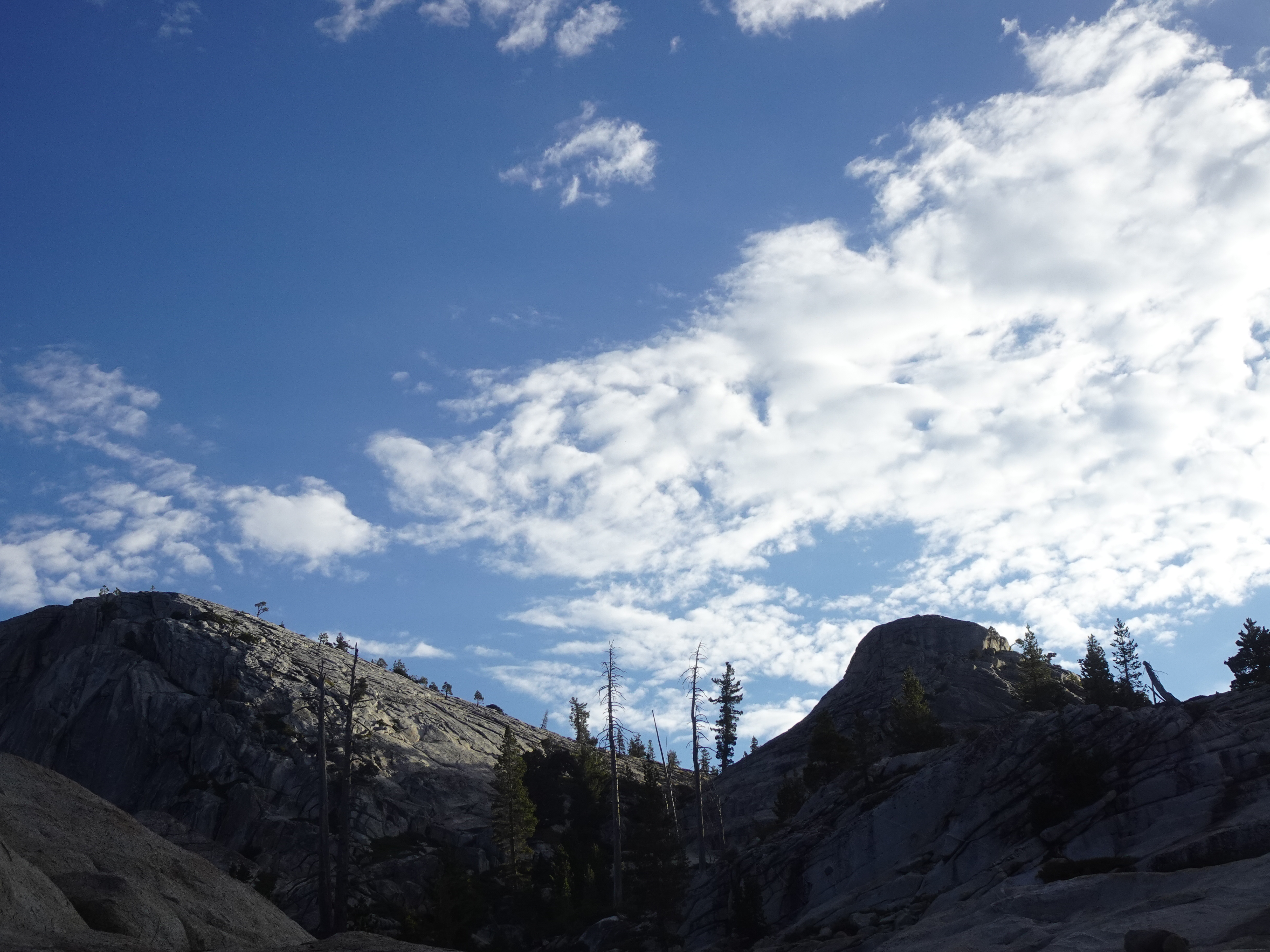
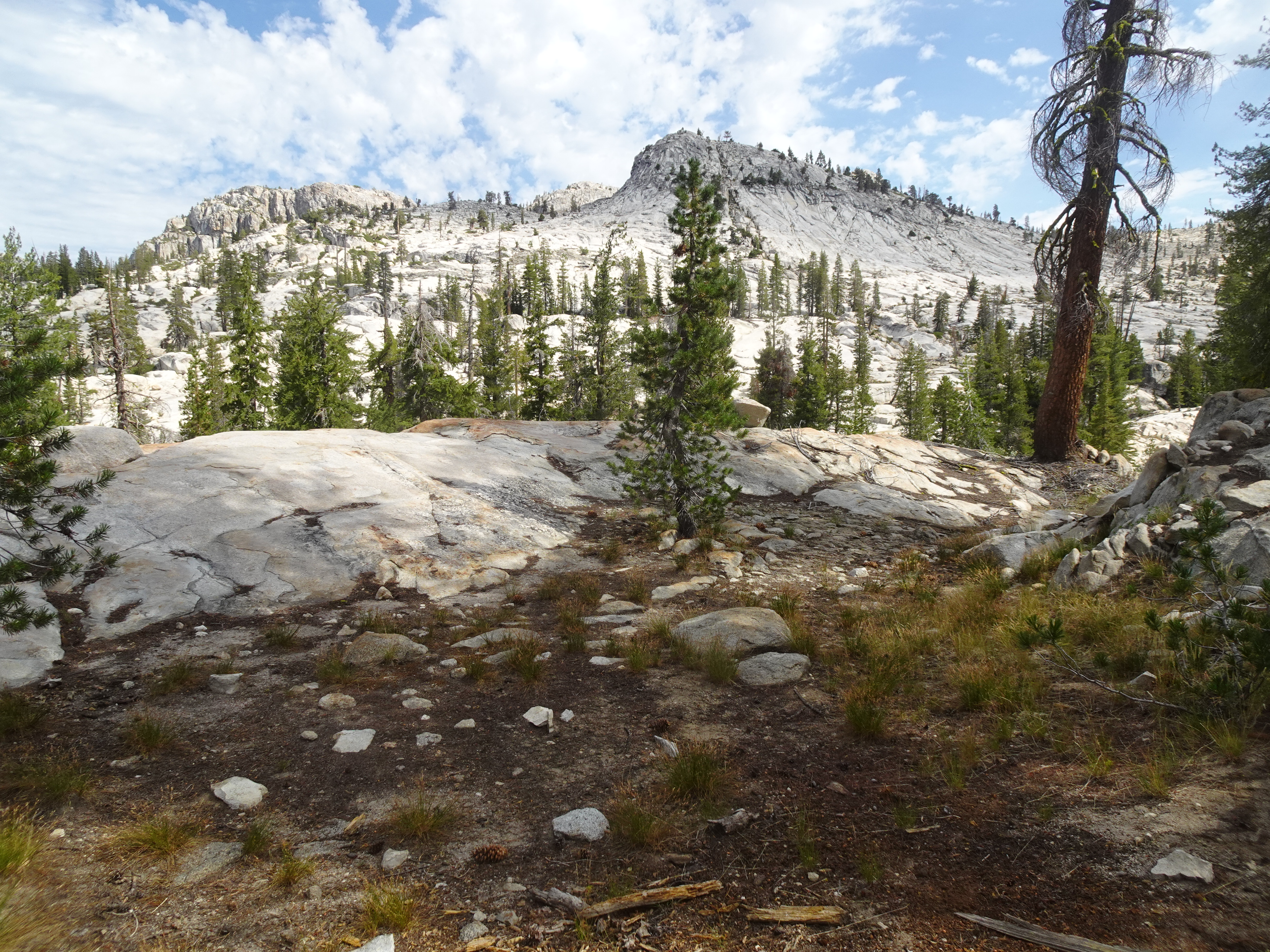
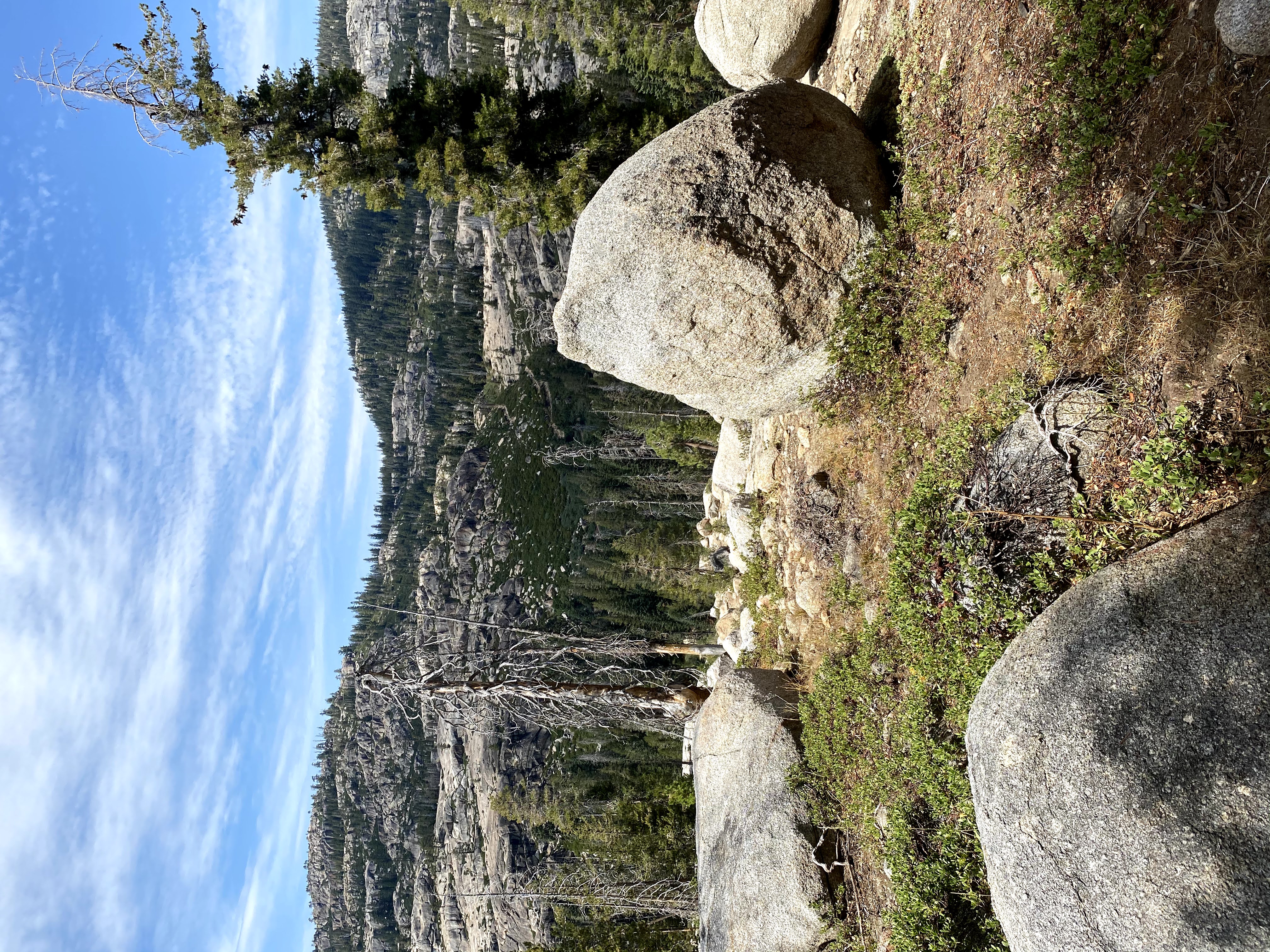
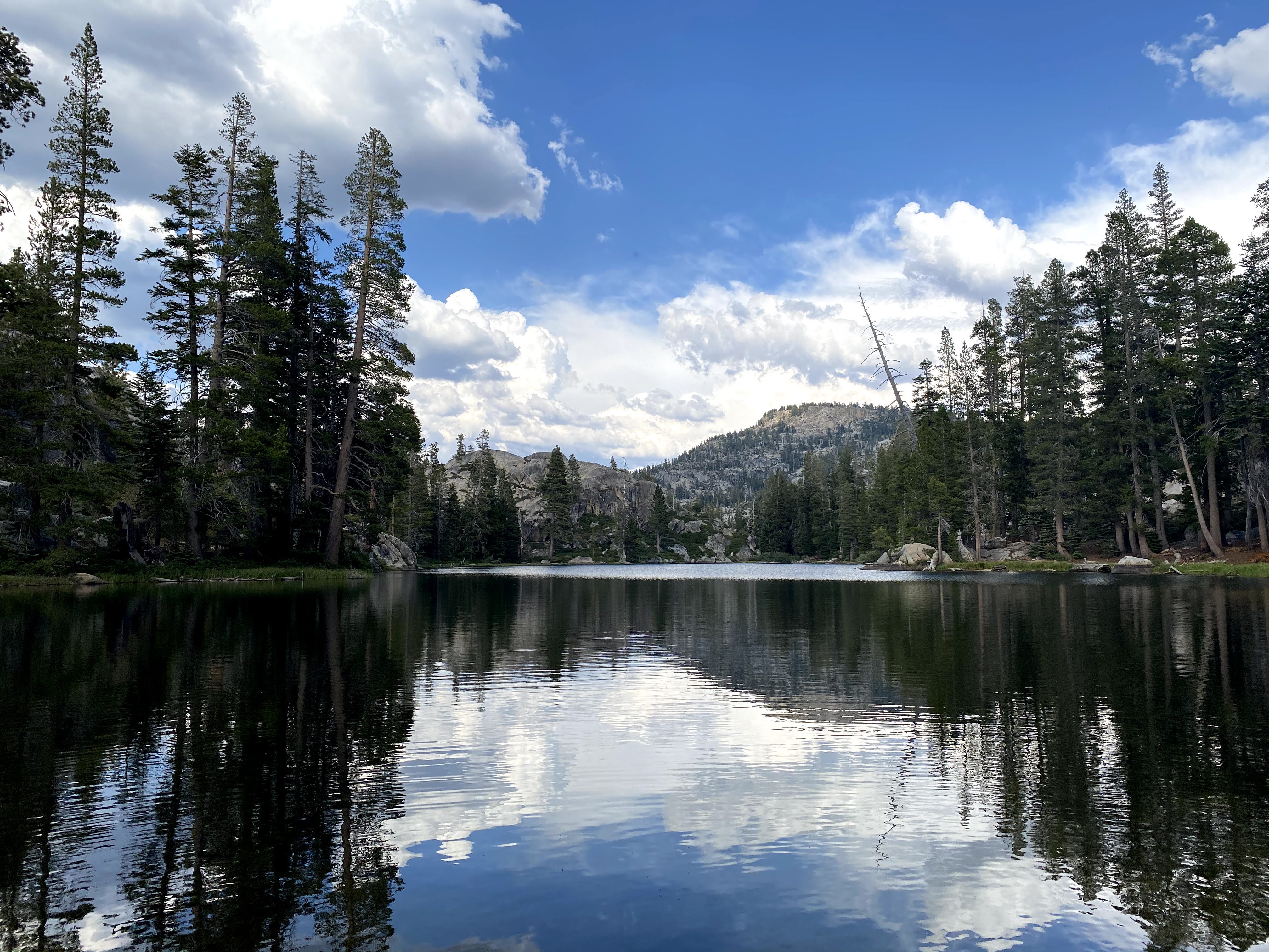
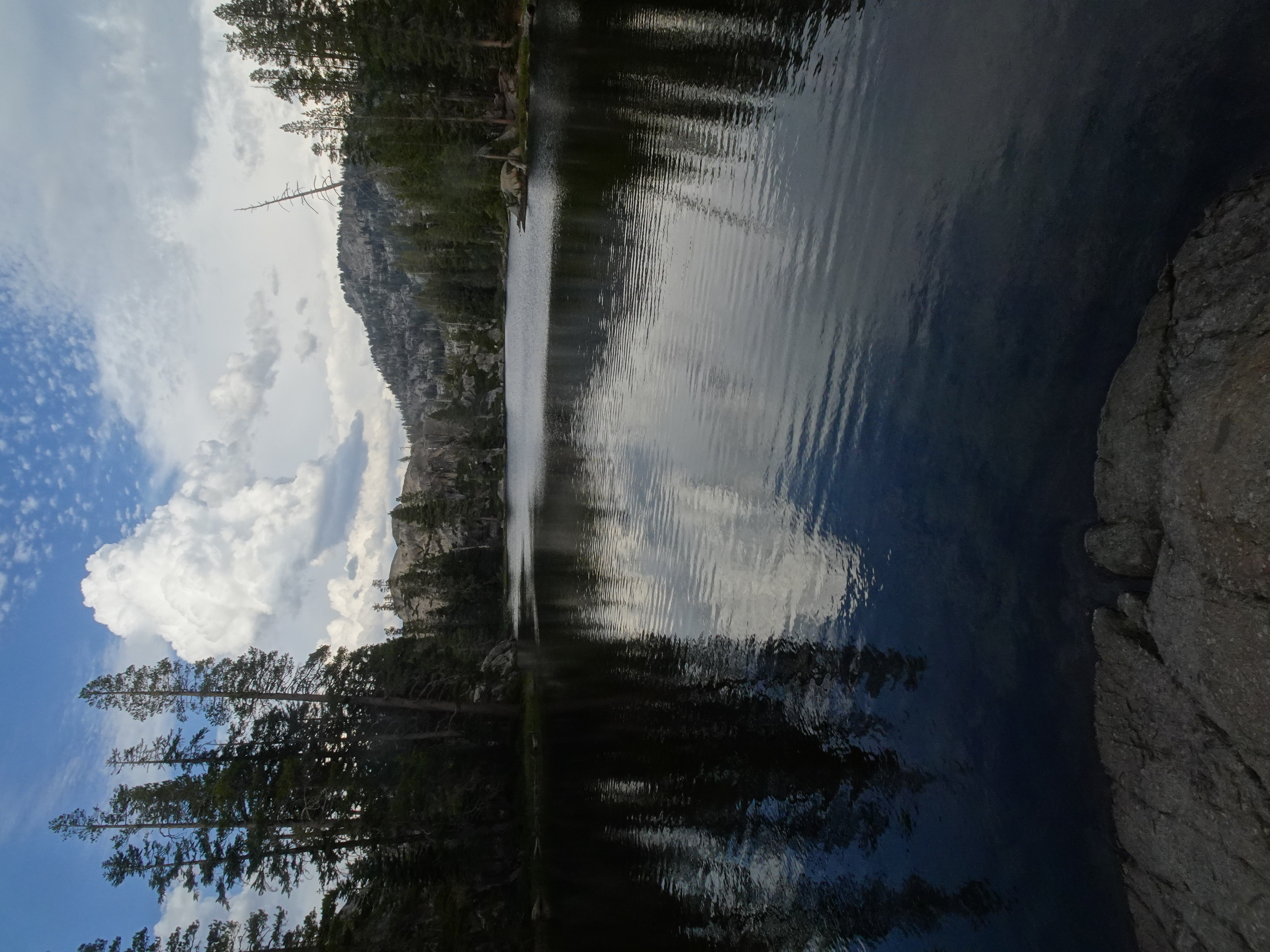
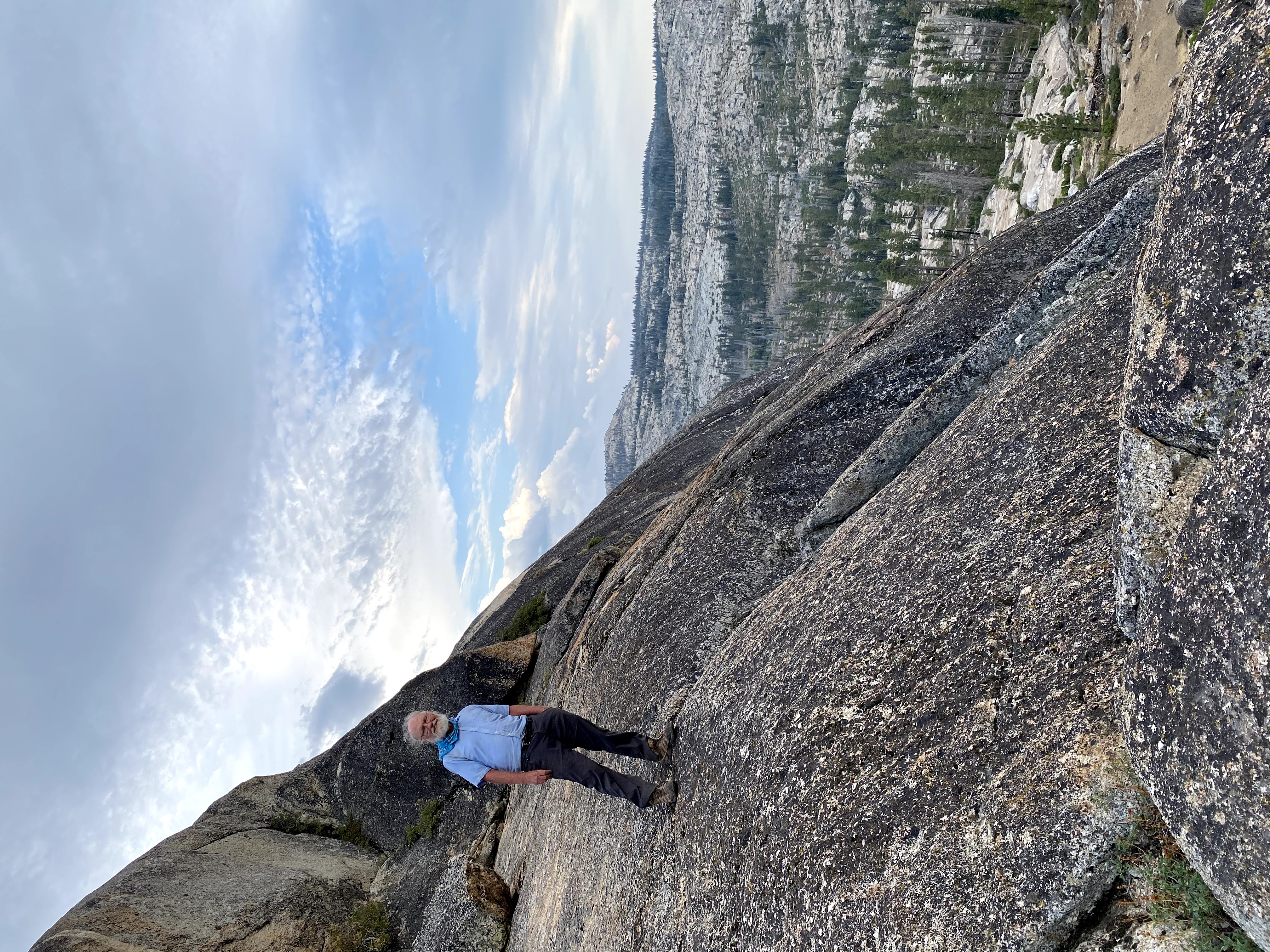
Once we set up camp we took a short walk to the top of a nearby ridge and got an amazing view: a huge granite slope that led down to Big Lake (see the first 3 pictures at the top of this page). We also realized we could just make out parts of the long Yellowhammer Lake, which we would visit tomorrow.
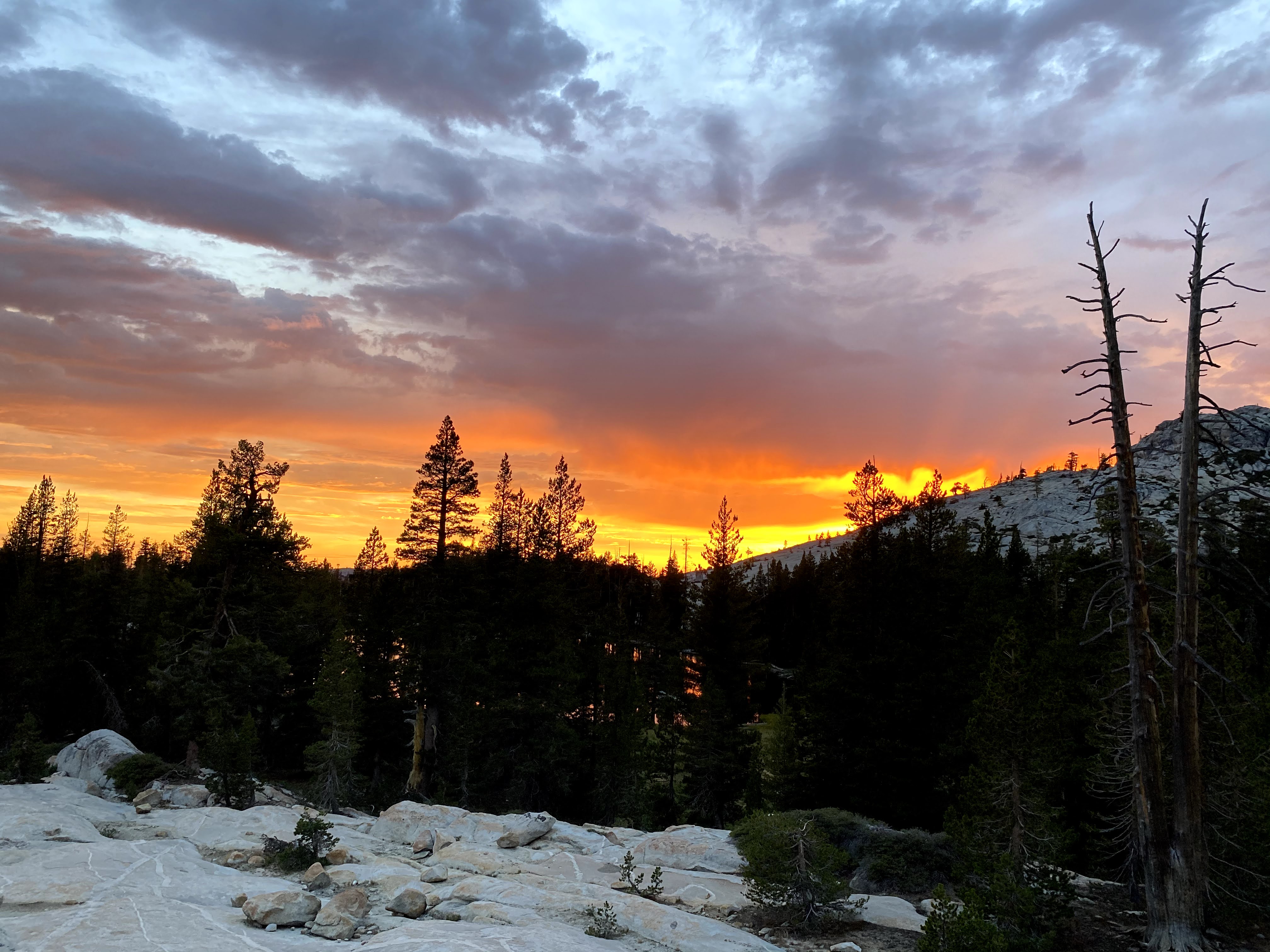
At the end of the day, after a bit of rock climbing, we saw a beautiful sunset.
 |
 |
 |
 |
 |
 |
 |
 |
 |
 |
 |
 |
 |
Map of backpack from Buck Meadow Creek to Pingree Lake (trail near solid blue line) - about 3.3 miles backpacking:
 |
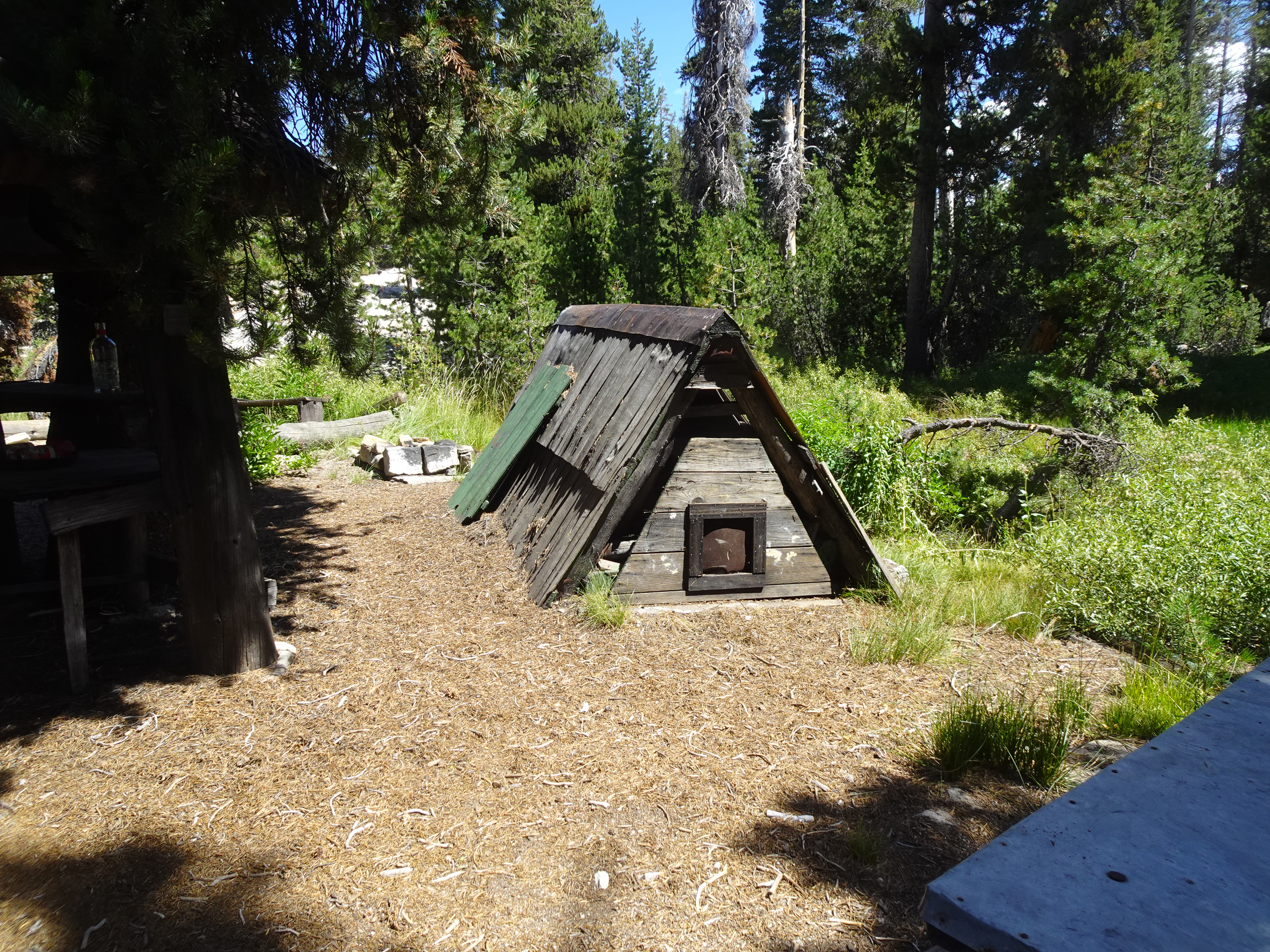
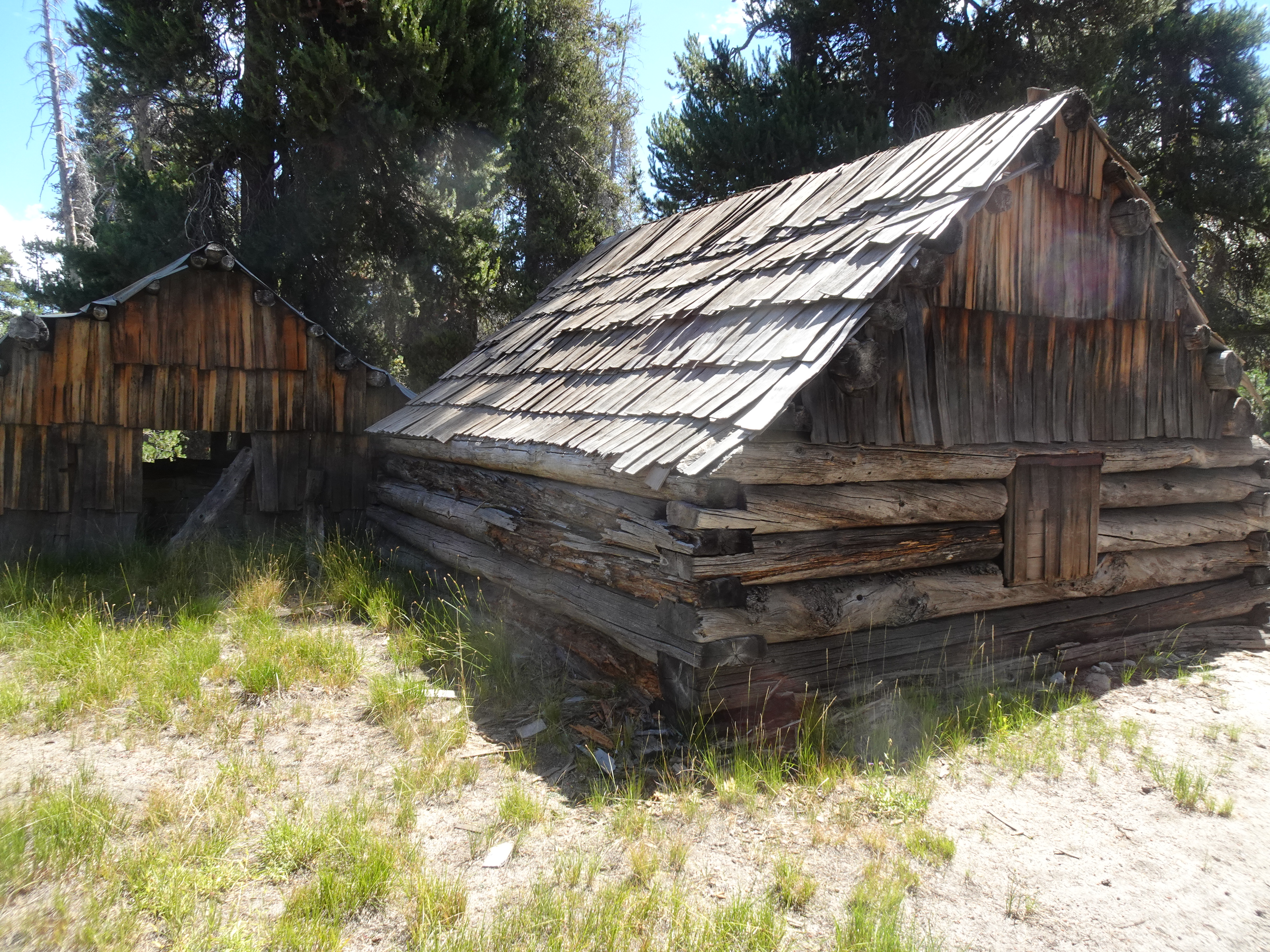
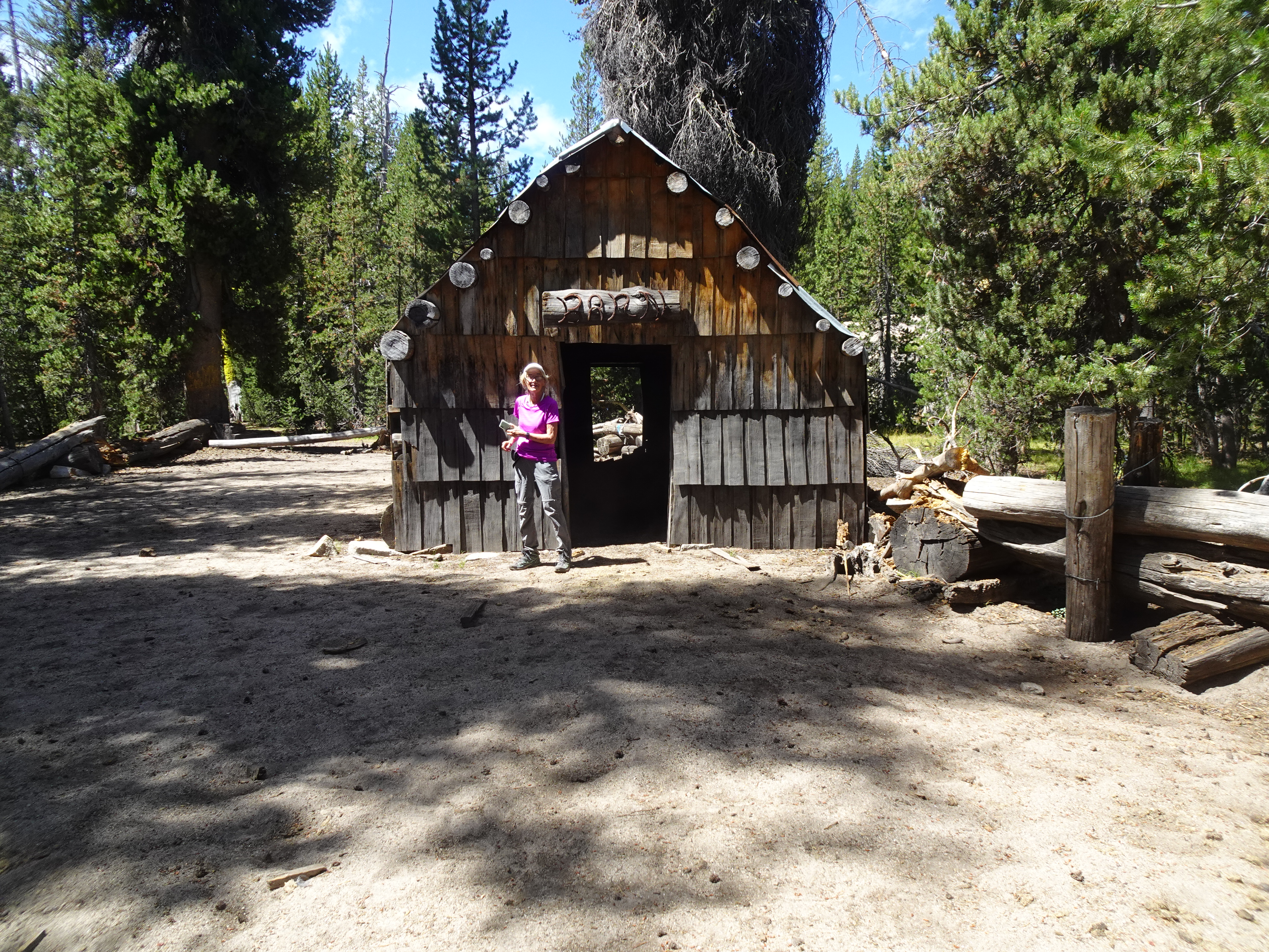
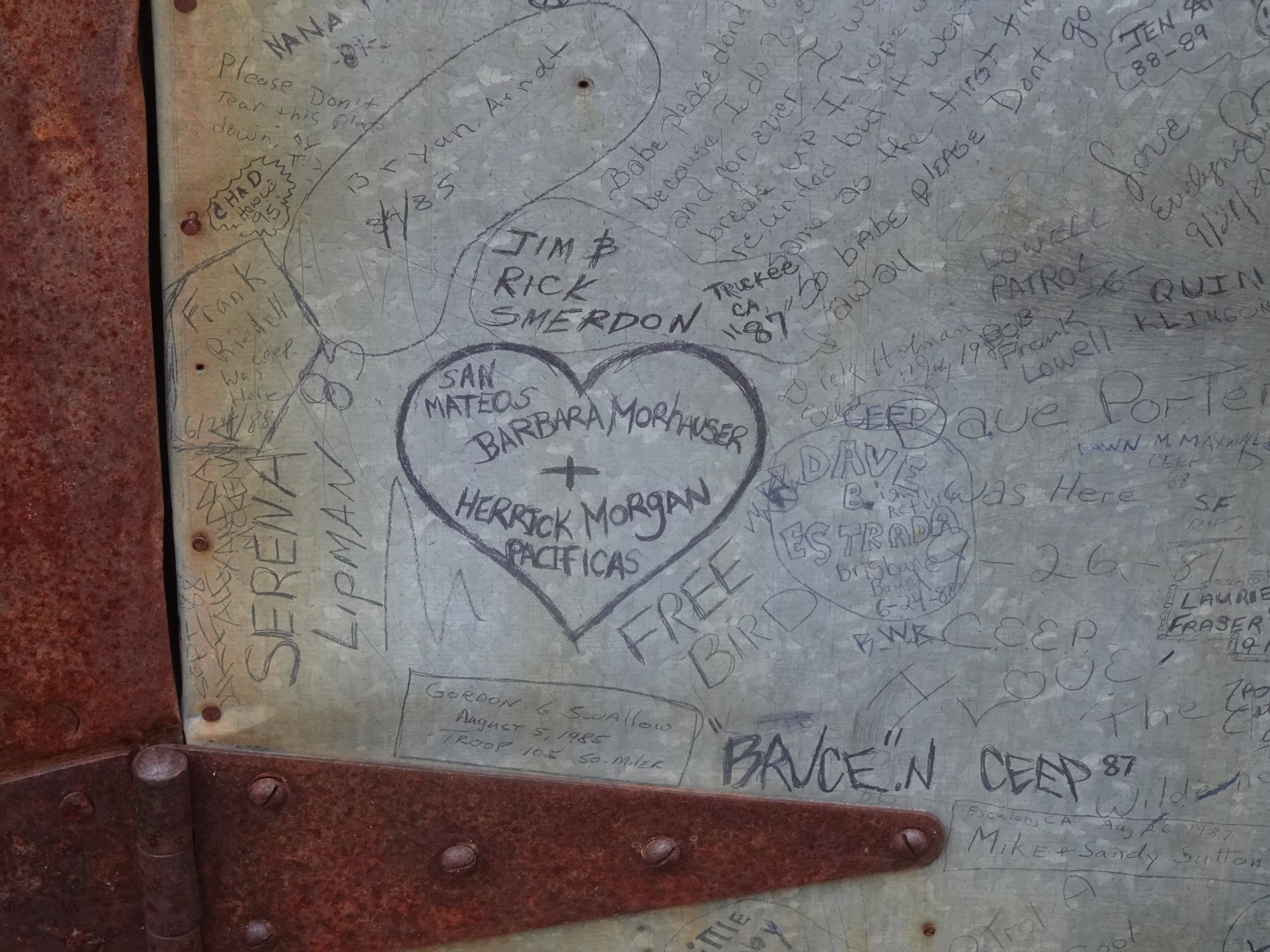
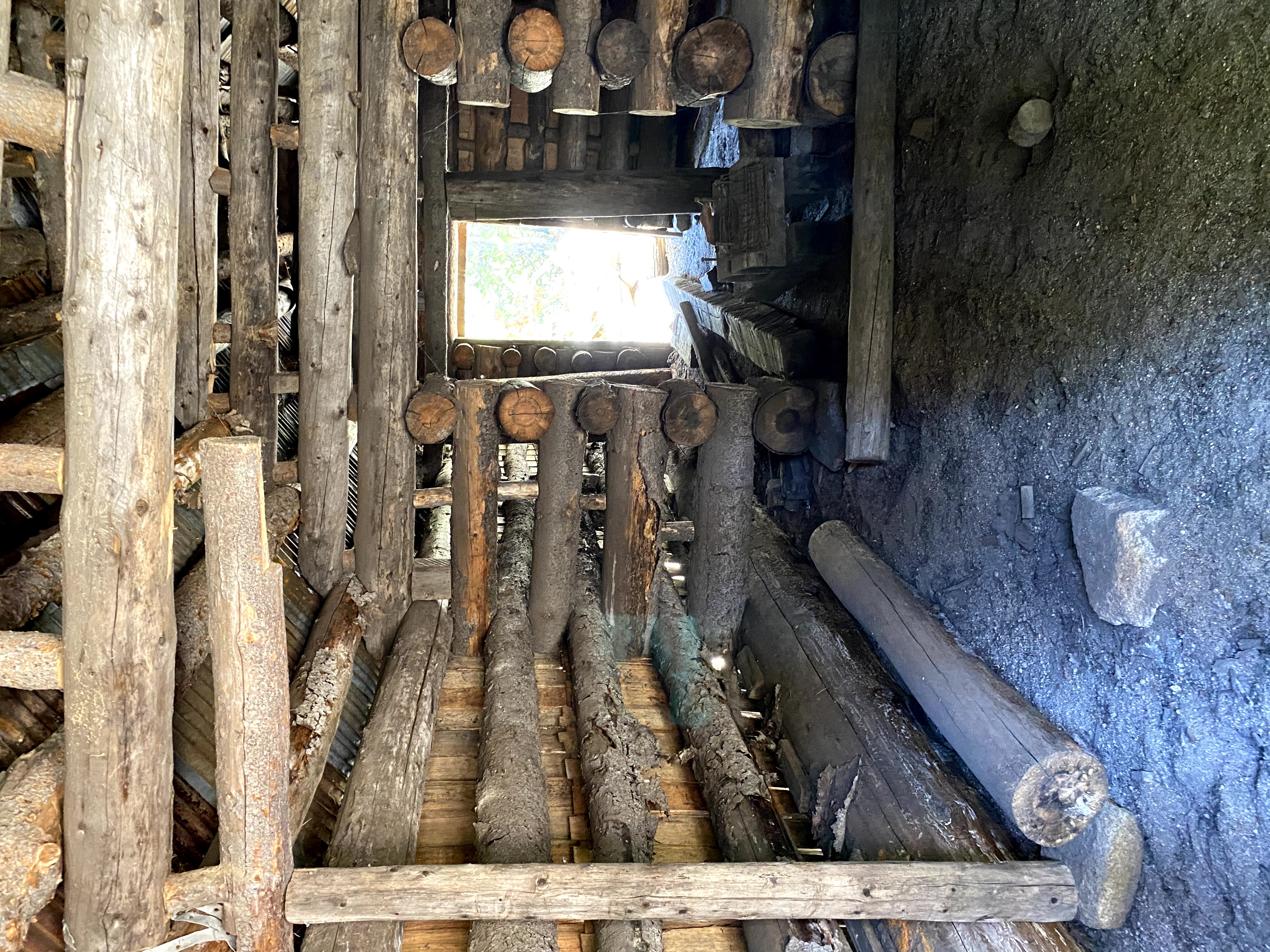
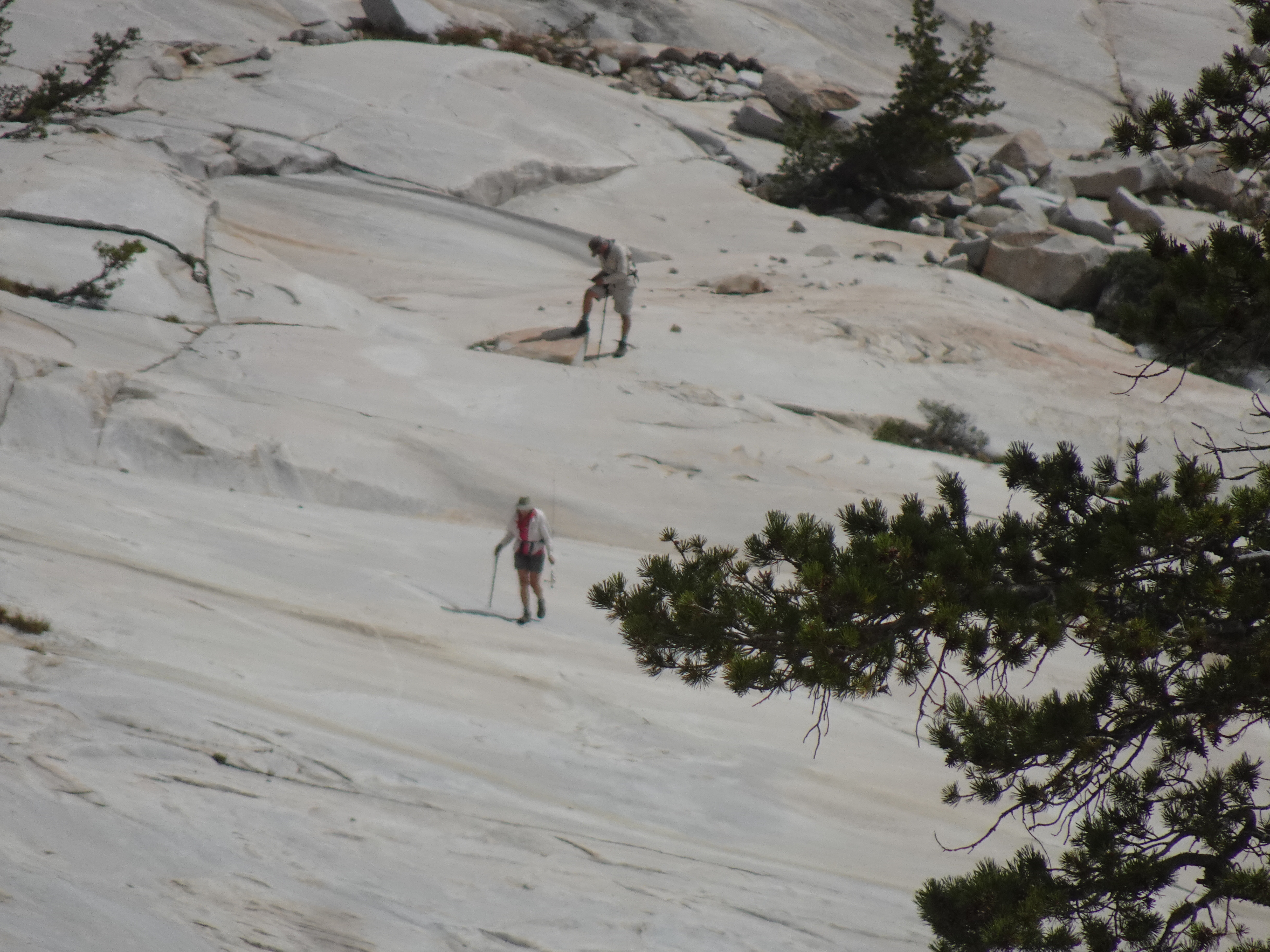
Day hike from Pingree Lake to Yellowhammer cabins to Big Lake and back to Pingree Lake. At the Yellowhammer cabins there was a metal door with names carved on it, including a heart with: Barbara Morhauser San Mateos and Herrick Morgan Pacificas. I actually found Barbara on Facebook and she confirmed that engraving was made when she was 20 years old. She also said Herrick might now be in Santa Cruz, but I had no luck finding him.
Videos:
 |
 |
 |
 |
 |
 |
 |
 |
 |
 |
 |
 |
 |
 |
 |
 |
 |
 |
 |
 |
 |
 |
 |
 |
 |
 |
Map of day hike to Yellowhammer cabins (dark blue, very rough idea) then to Big Lake and back to Pingree Lake (light blue, very rough idea) - about 6 miles day hiking:
 |
Dinner: Lentil curry with squash and side of spinach
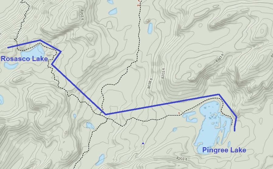
Day hike to Rosasco Lake and back.
Video:
 |
 |
 |
 |
 |
 |
 |
 |
Map of day hike from Pingree Lake to Rosasco Lake and back (solid blue line - we followed marked trail mostly) - about 4 miles:
 |
Dinner: Fetacino Alfreda with chicken and brocolli
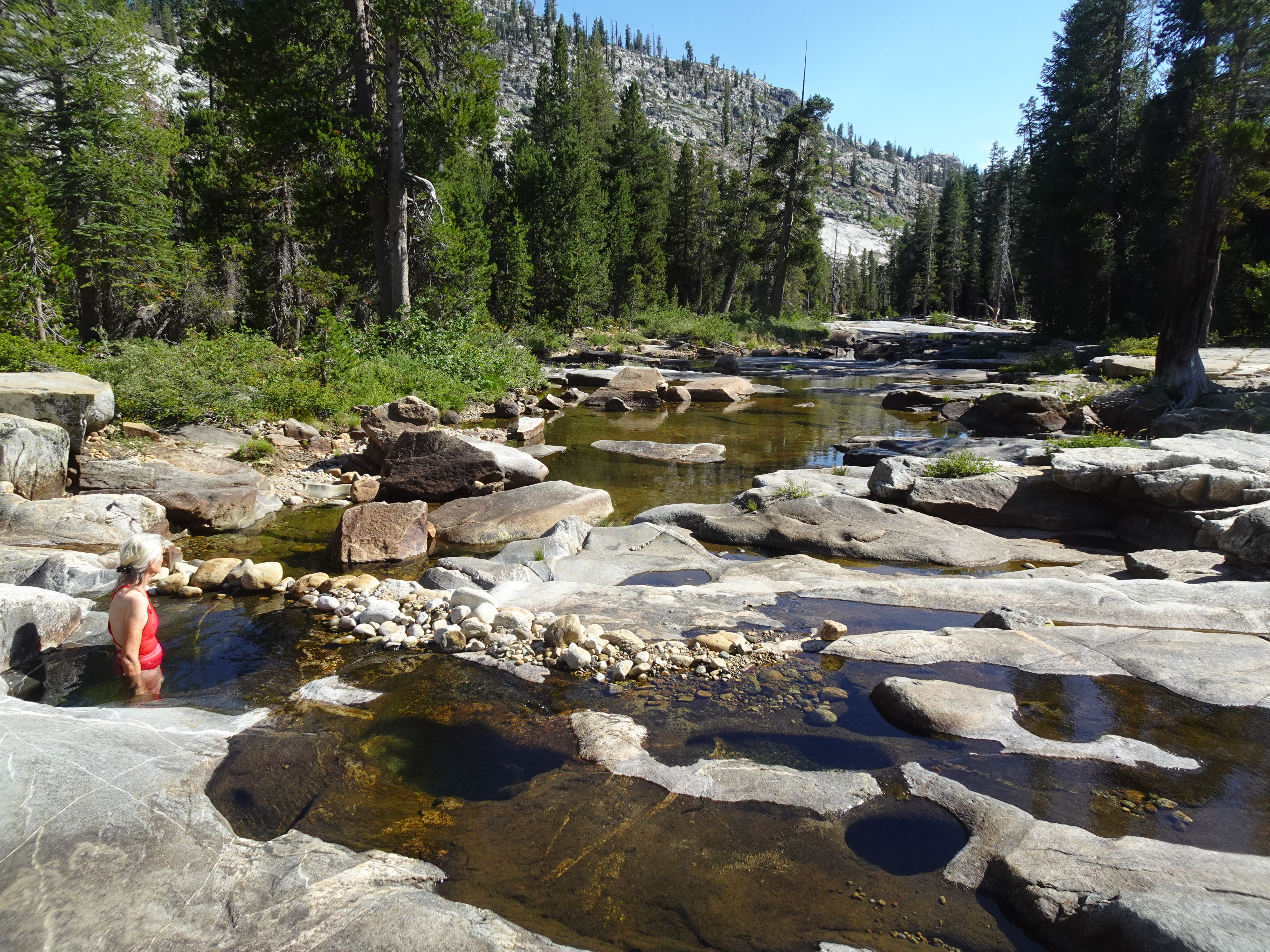
Backpacked to West Fork Cherry Creek on way back to car. During this part of the trip we met Sarah and Josiah. At the creek, Sarah told us about a wonderful "spa" where one could stand in a small, deep pool of clear water as a little stream of water flowed in and out. Jennifer and I both did in fact end up getting a great rinse off in the spa (see pic of Jennifer below) - I went at another time when nobody was around, since I did not have a swimsuit. After finishing the first time and getting completely dressed, I noticed my glasses had slipped in and sat at the bottom of the spa, so I got naked again and retrieved them. Sarah also showed us a perfectly spherical rock she had found that was about the size of a tennis ball. Very cool. Jennifer lent them a map and they later mailed it back to her with a thank you letter.
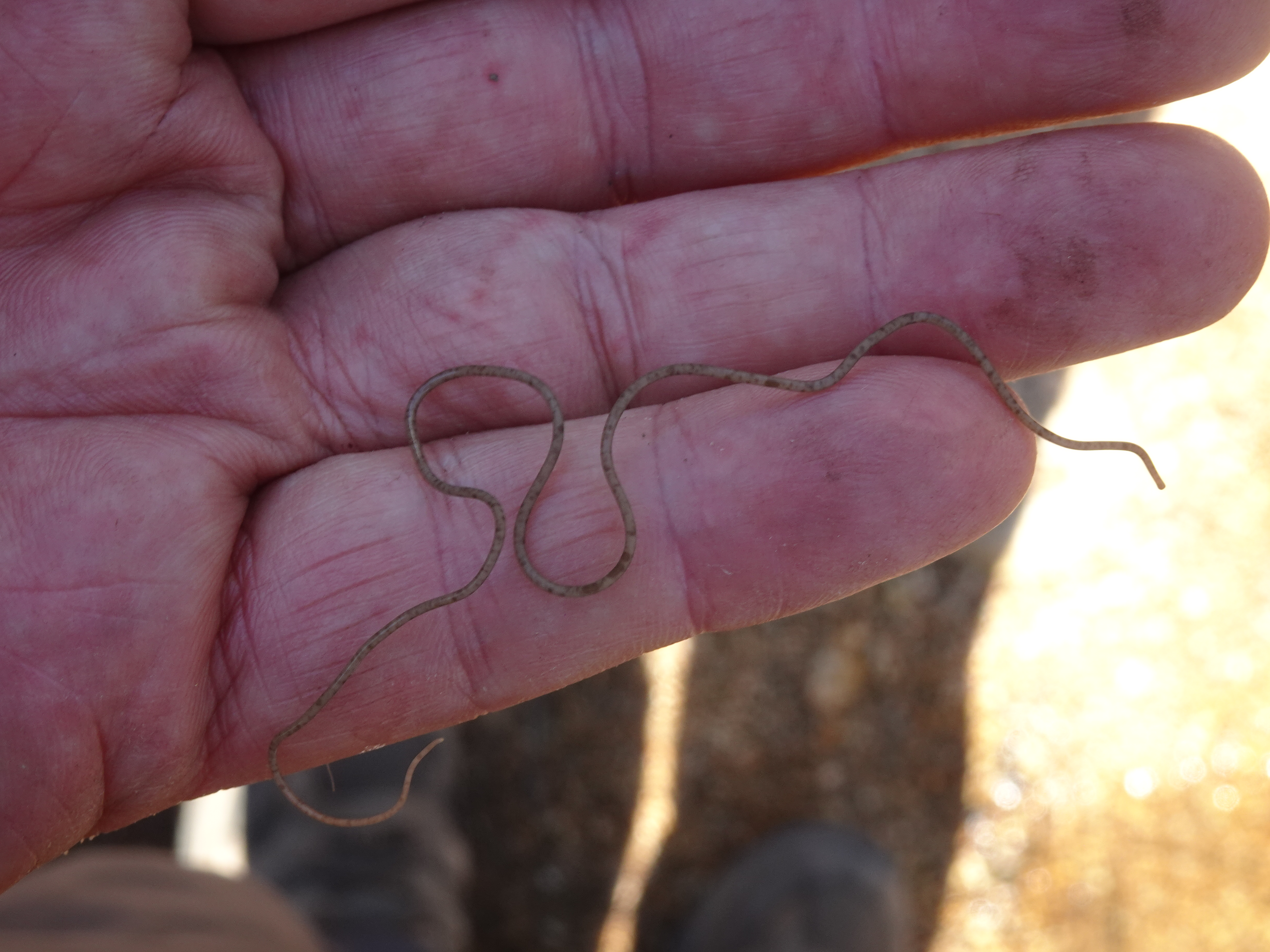
In one of the creek's pools of water I discovered a strange animal that was no thicker than a piece of thread and several inches long (see video and pic below). As far as I can find out it is a horsehair worm, one variety of which will infect a grasshopper or other insect, then later take over its brain and make it jump in a pool of water and drown, while the worm escapes into the water.
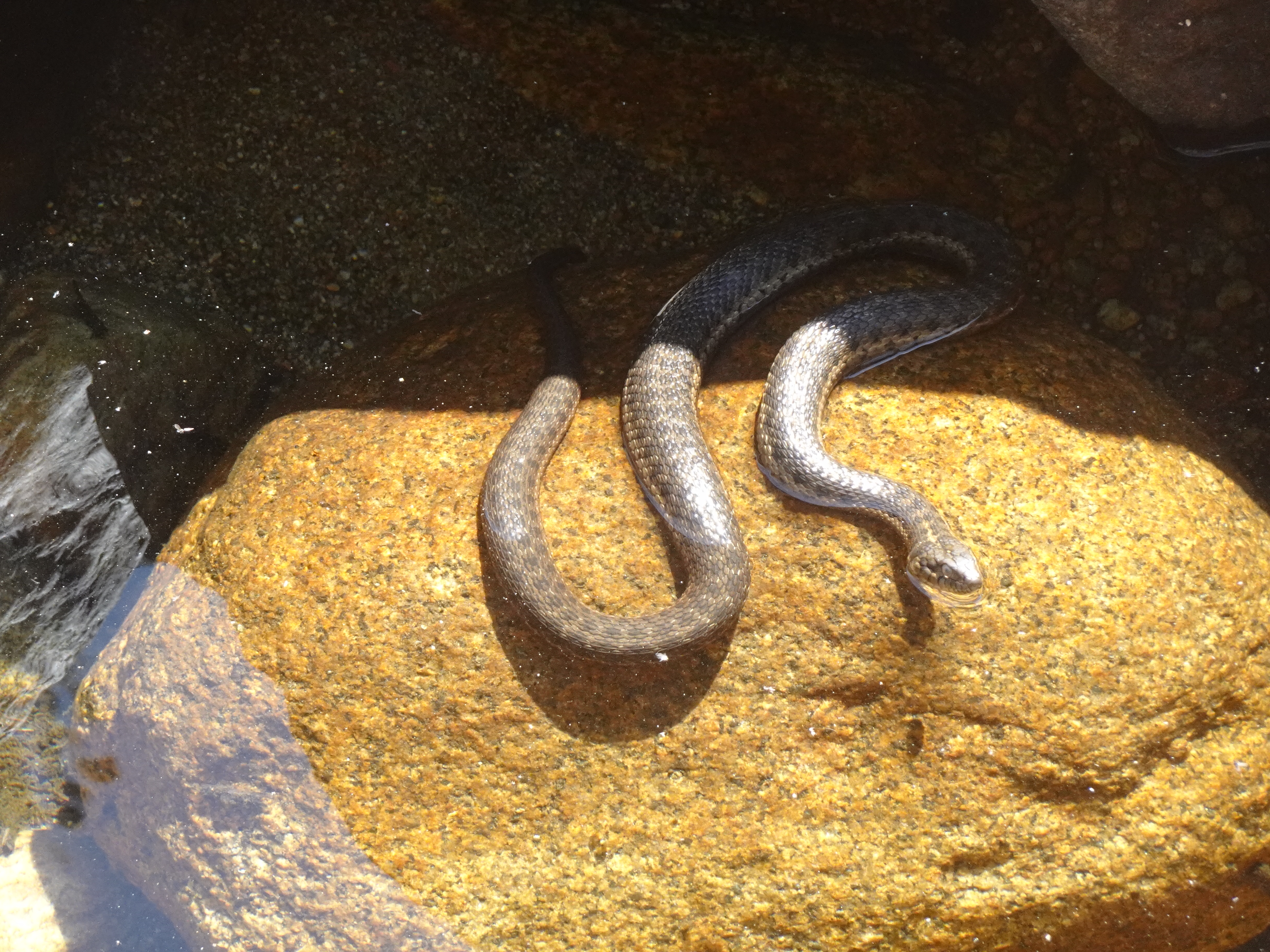
We also saw fish and a snake in one large puddle.
Videos:
 |
 |
 |
 |
 |
 |
 |
 |
 |
 |
 |
 |
 |
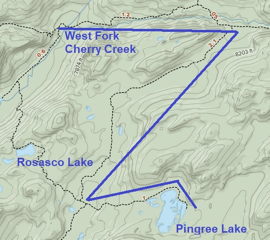
Map: Backpack from Pingree Lake to Cherry Creek - about 4.6 miles
 |
Dinner: Tika masalla with cauliflower, garbanzo beans, and squash over bamati rice (best meal of trip!)
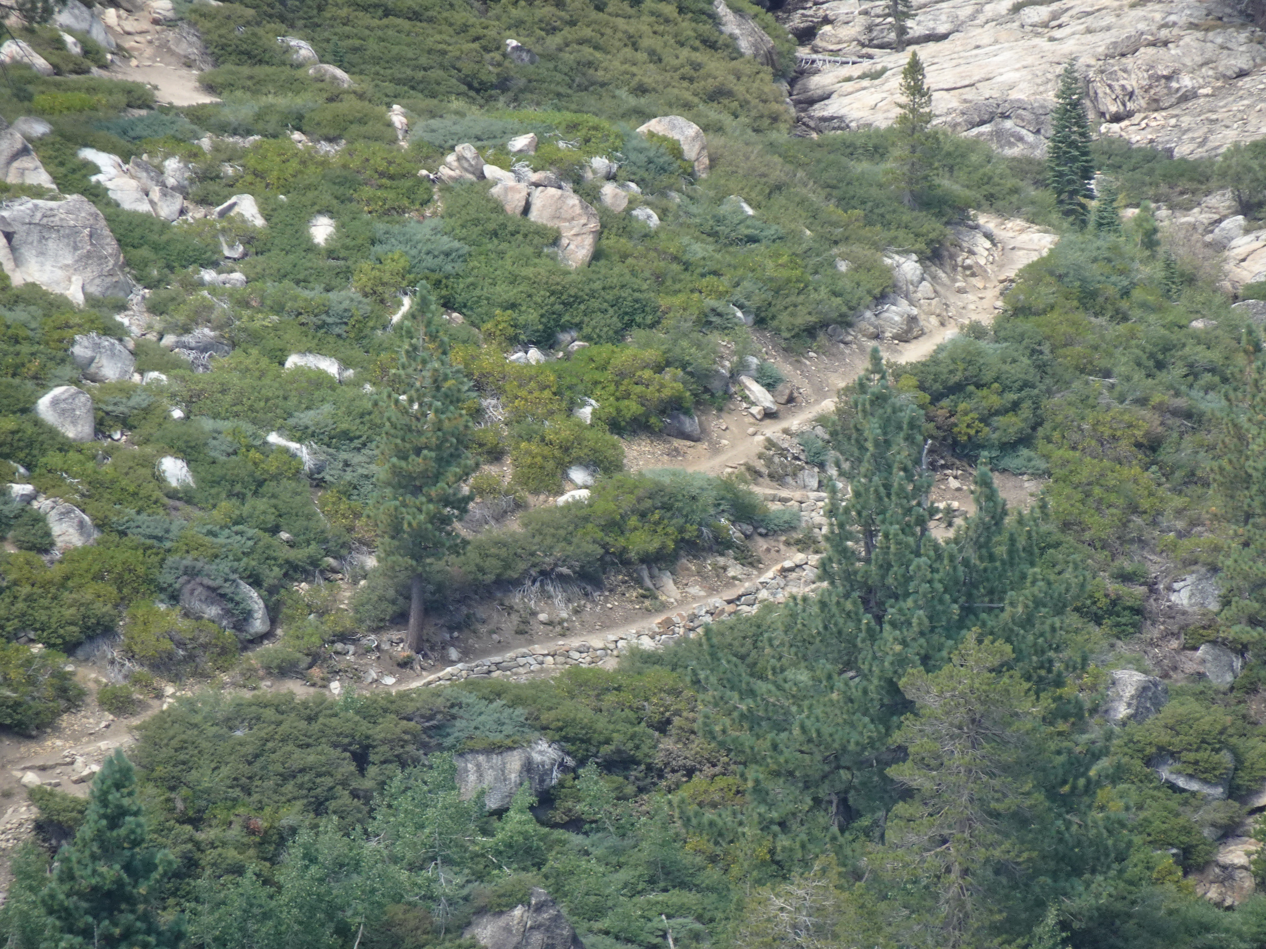
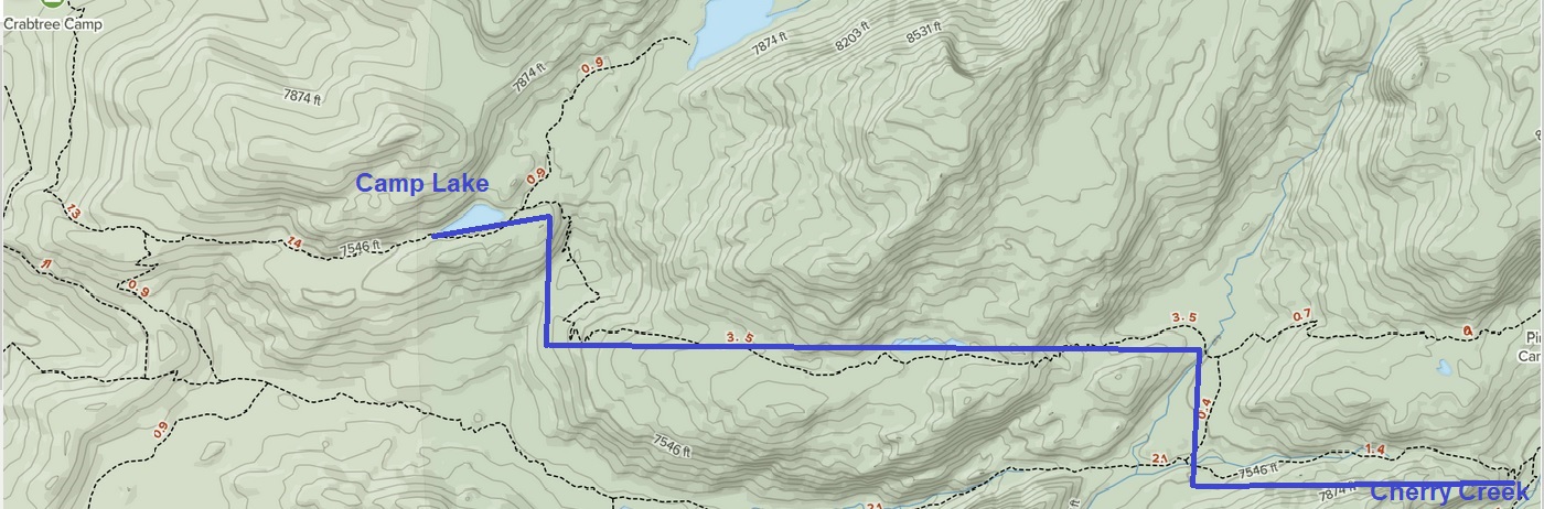
Backpacked to Camp Lake on way back to car. At one point we could look all the way across a canyon and see the trail as it climbed 200 feet up the other side. It looked more than 200 feet to Bob, but the topomap was definite.
Videos:
 |
 |
 |
 |
 |
 |
 |
 |
 |
 |
 |
 |
 |
Map: Backpack from West Fork Cherry Creek to Camp Lake
 |
Dinner: Chicken teriyaki [brand: Adventure Meals] with green peas, carrots, peppers and onions plus Jennifer prepared side of spinach
Videos:
Backpack from Camp Lake to car, then drive to Oakland, then Santa Rosa.
 |
 |
 |
 |
 |
 |
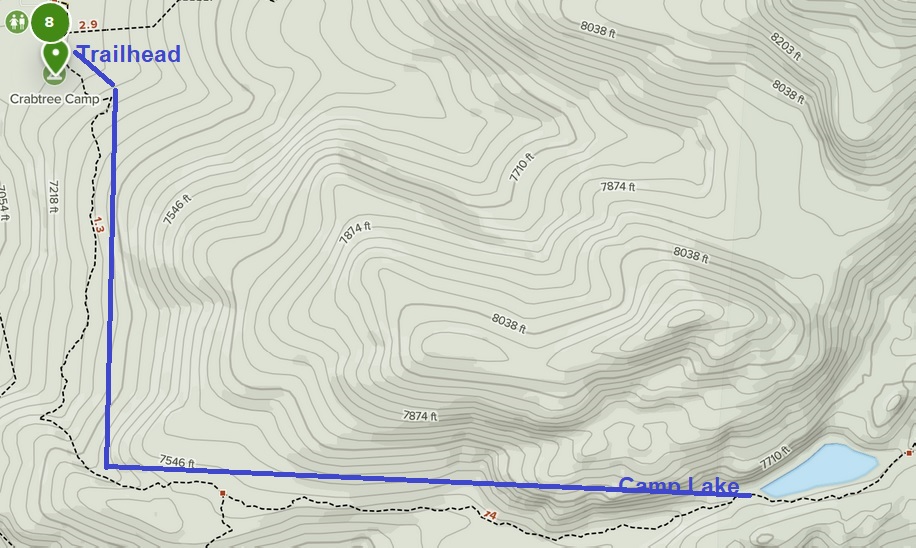
Map from Camp Lake to Trailhead:
 |
Photos and narrative were contributed by both of us: Jennifer and Bob
Here are all of the backpacking trips Jennifer and Bob have taken
Other Websites
By Bob:
Bob Phillips [phillips bob 27 at yahoo dot com - no spaces]
Santa Rosa, CA
August, 2012