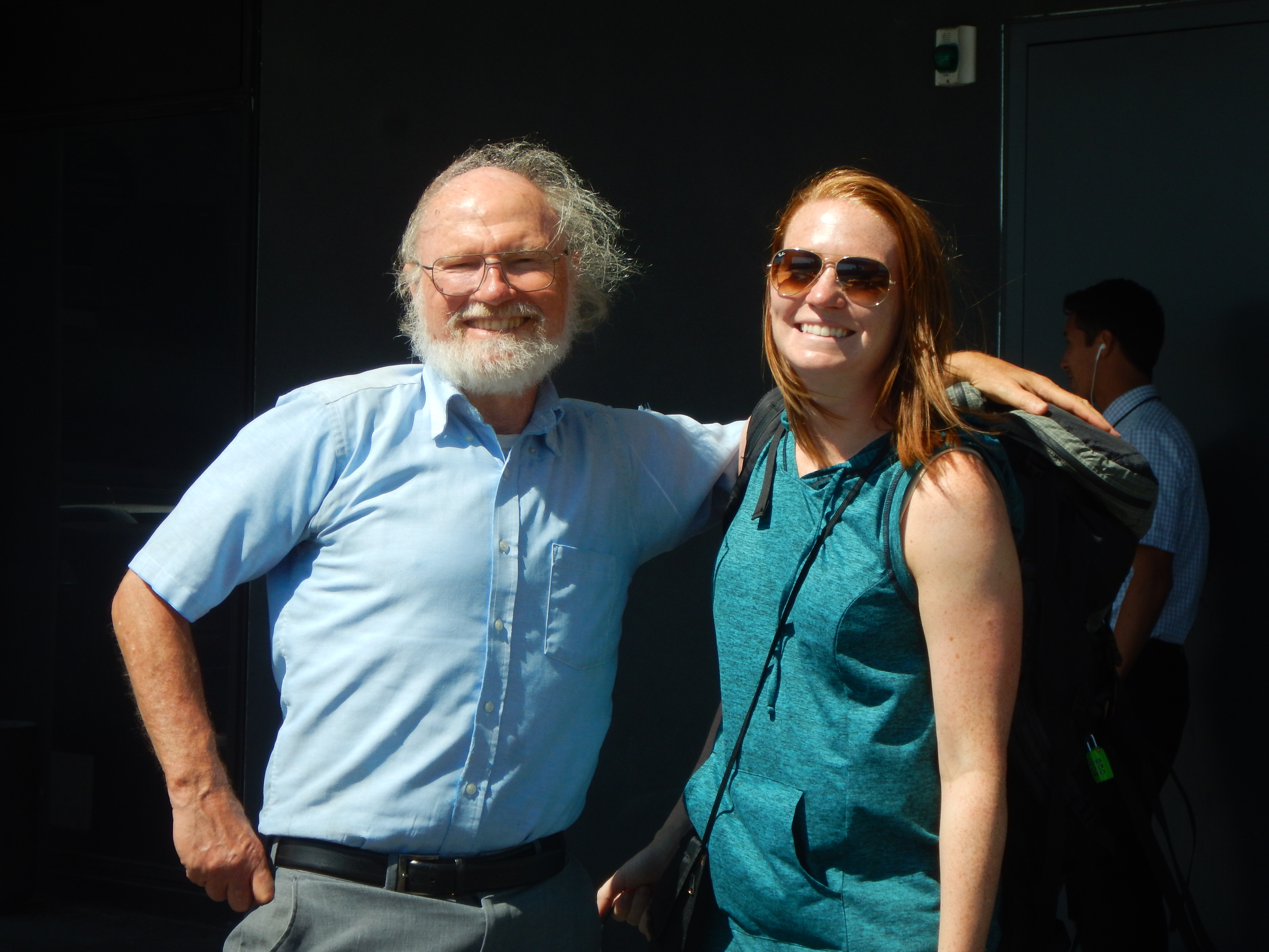
For any of the photos on this page, click on the image to bring up the full resolution version. Day by day photos and narrative follow these favorites.
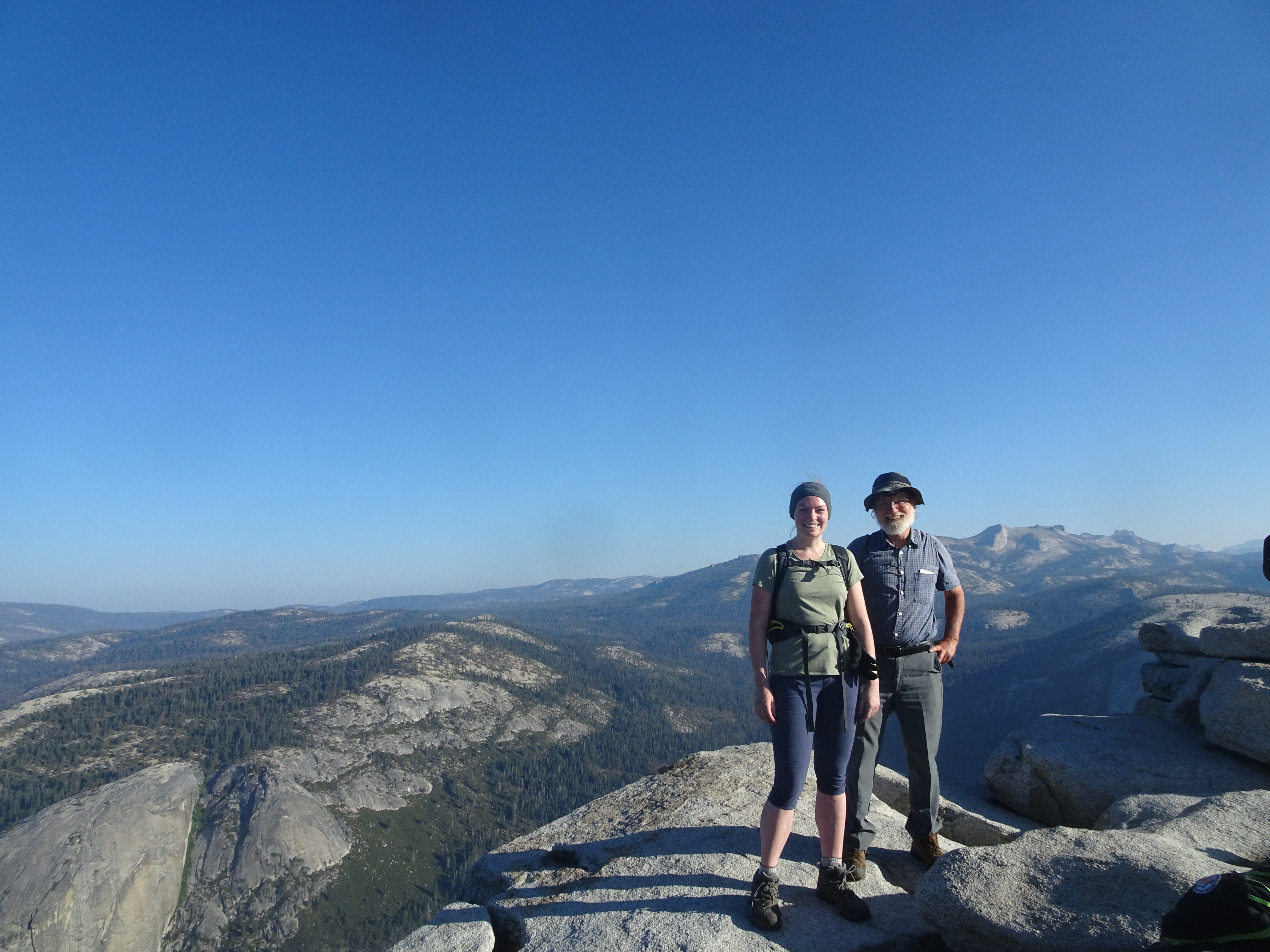
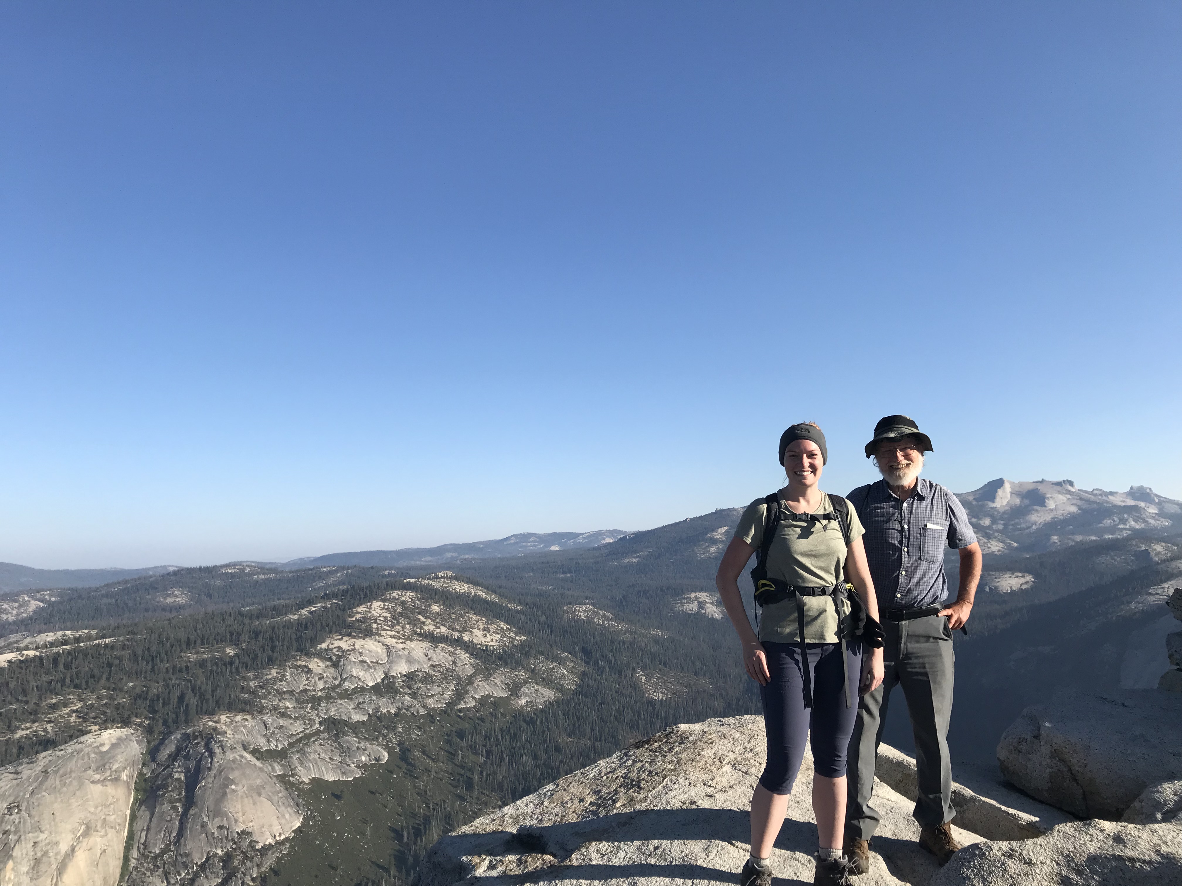
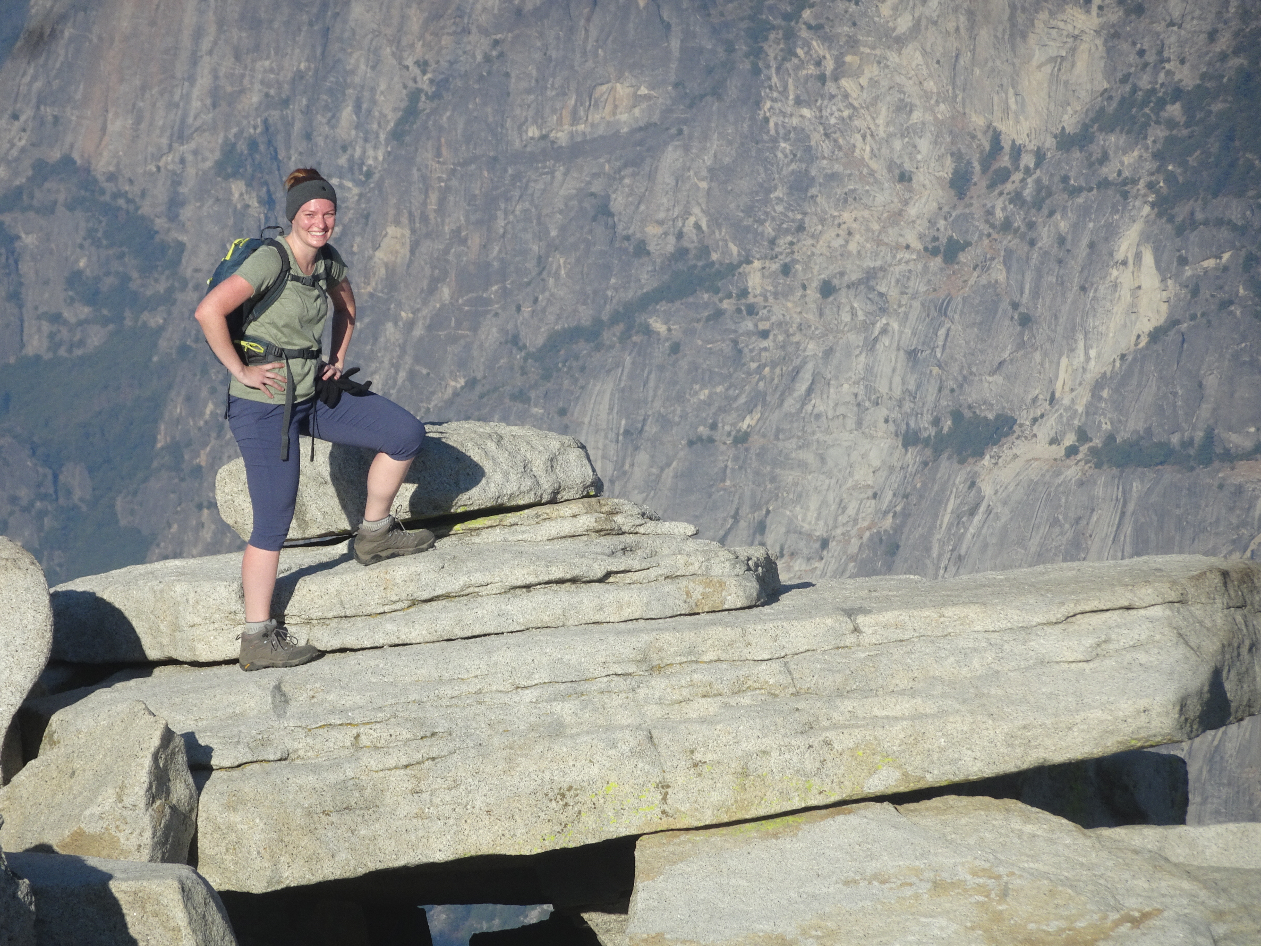
Summit of Half Dome
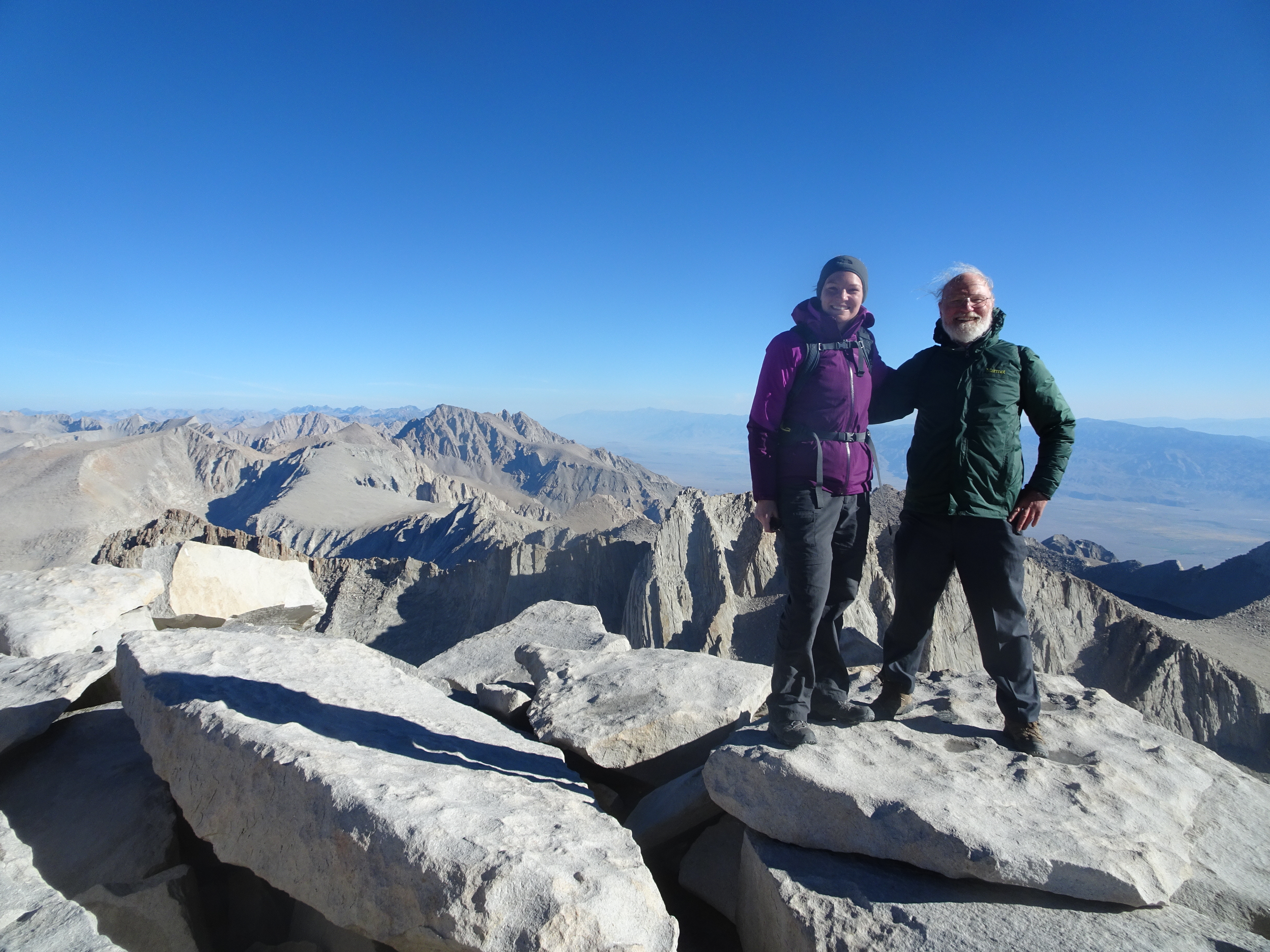
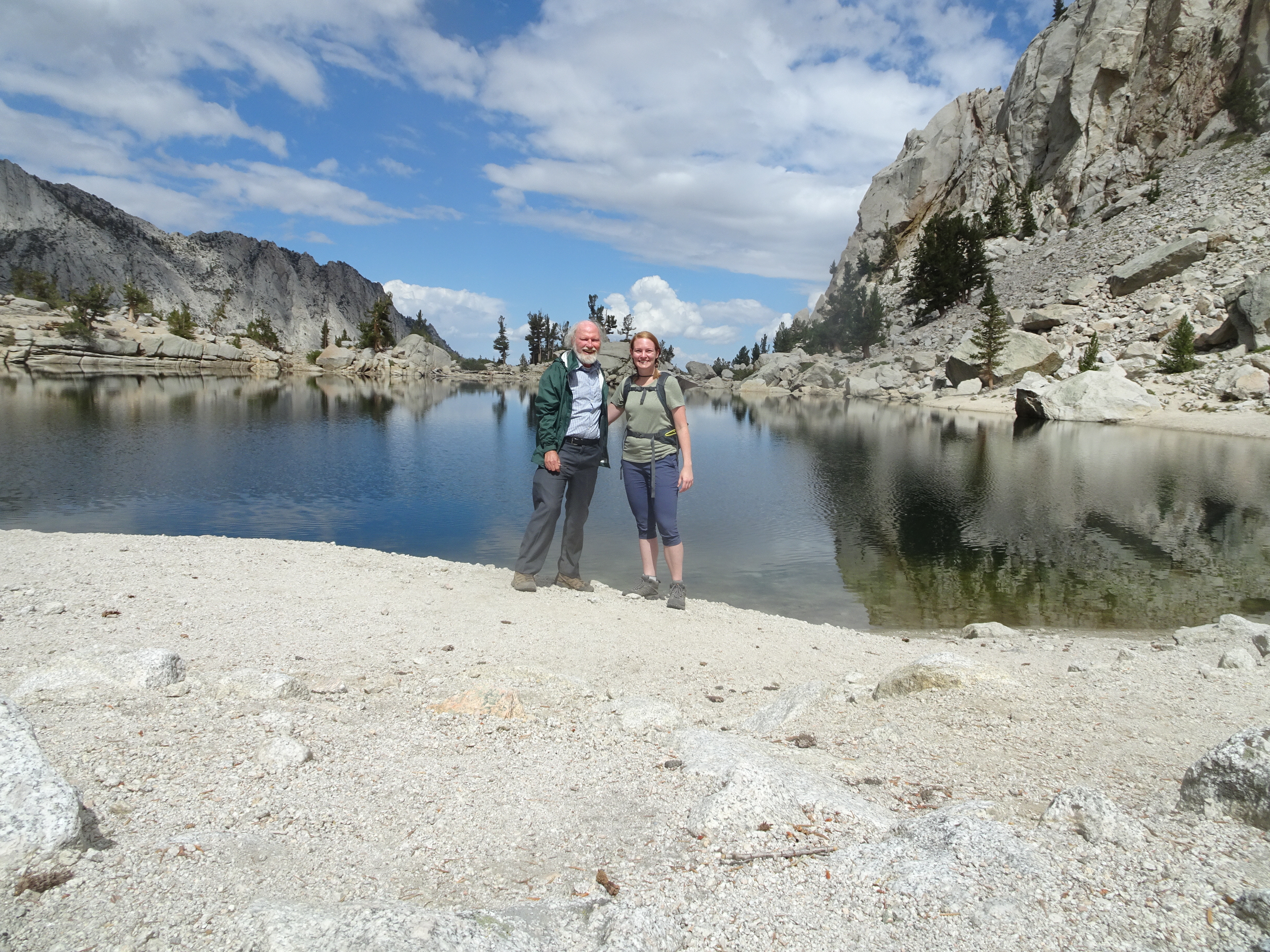
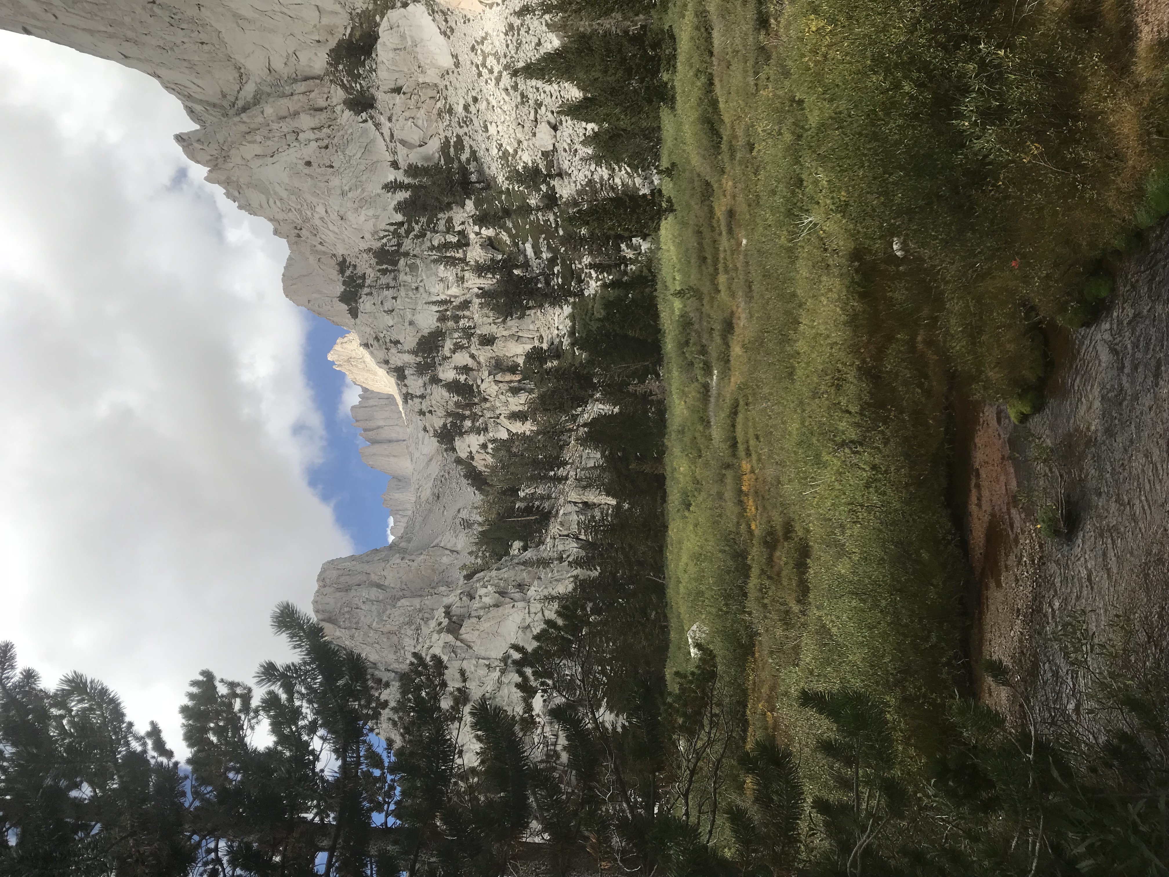
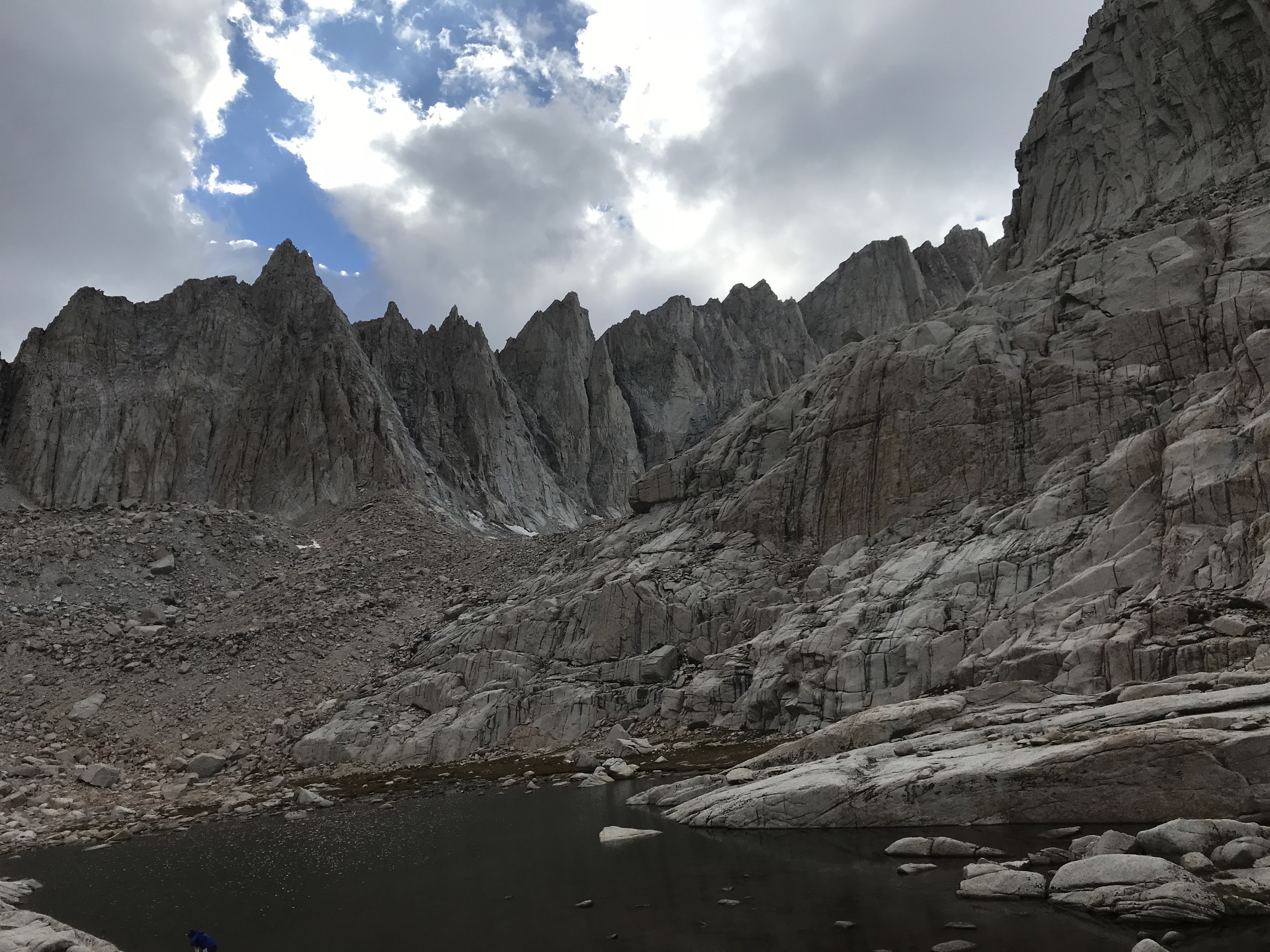
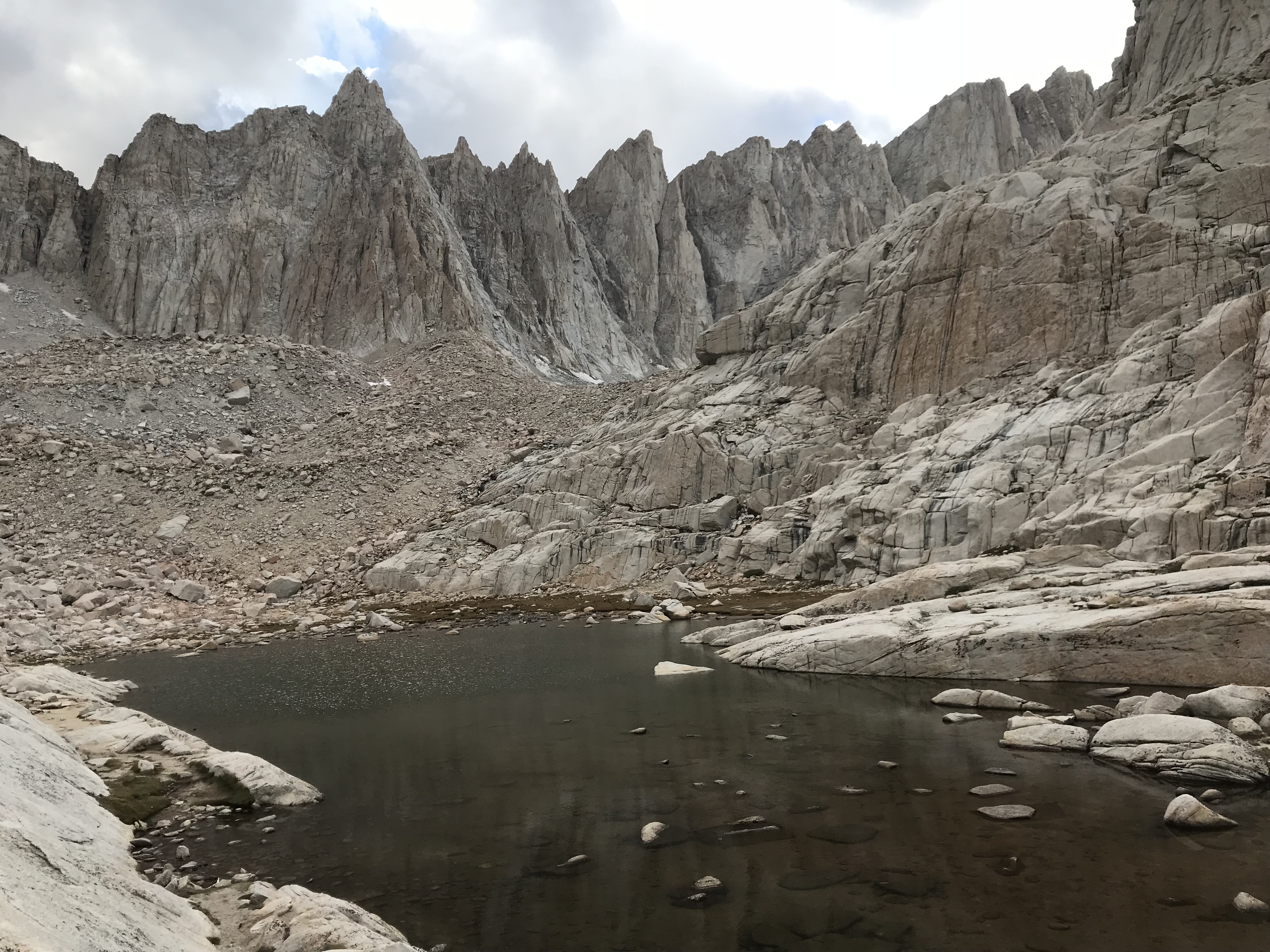
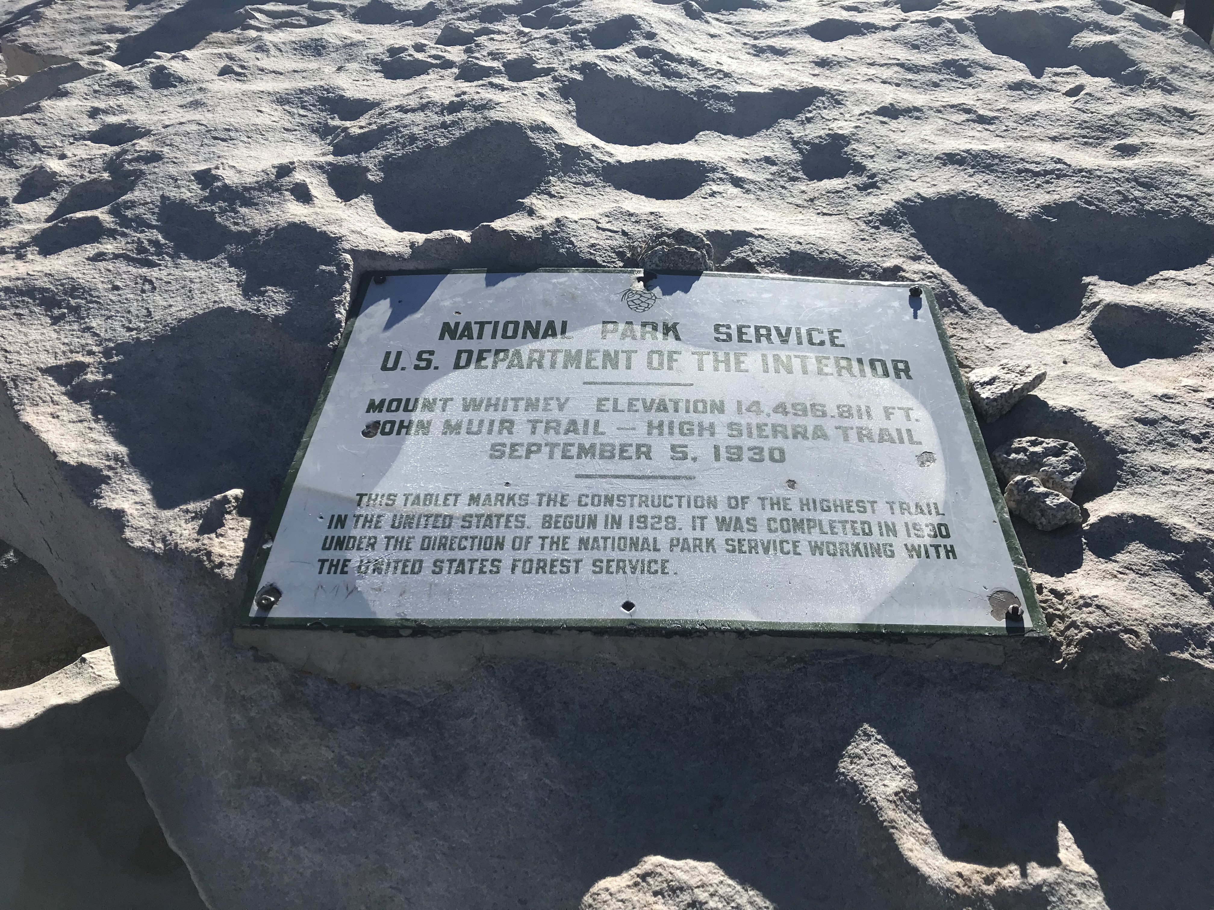
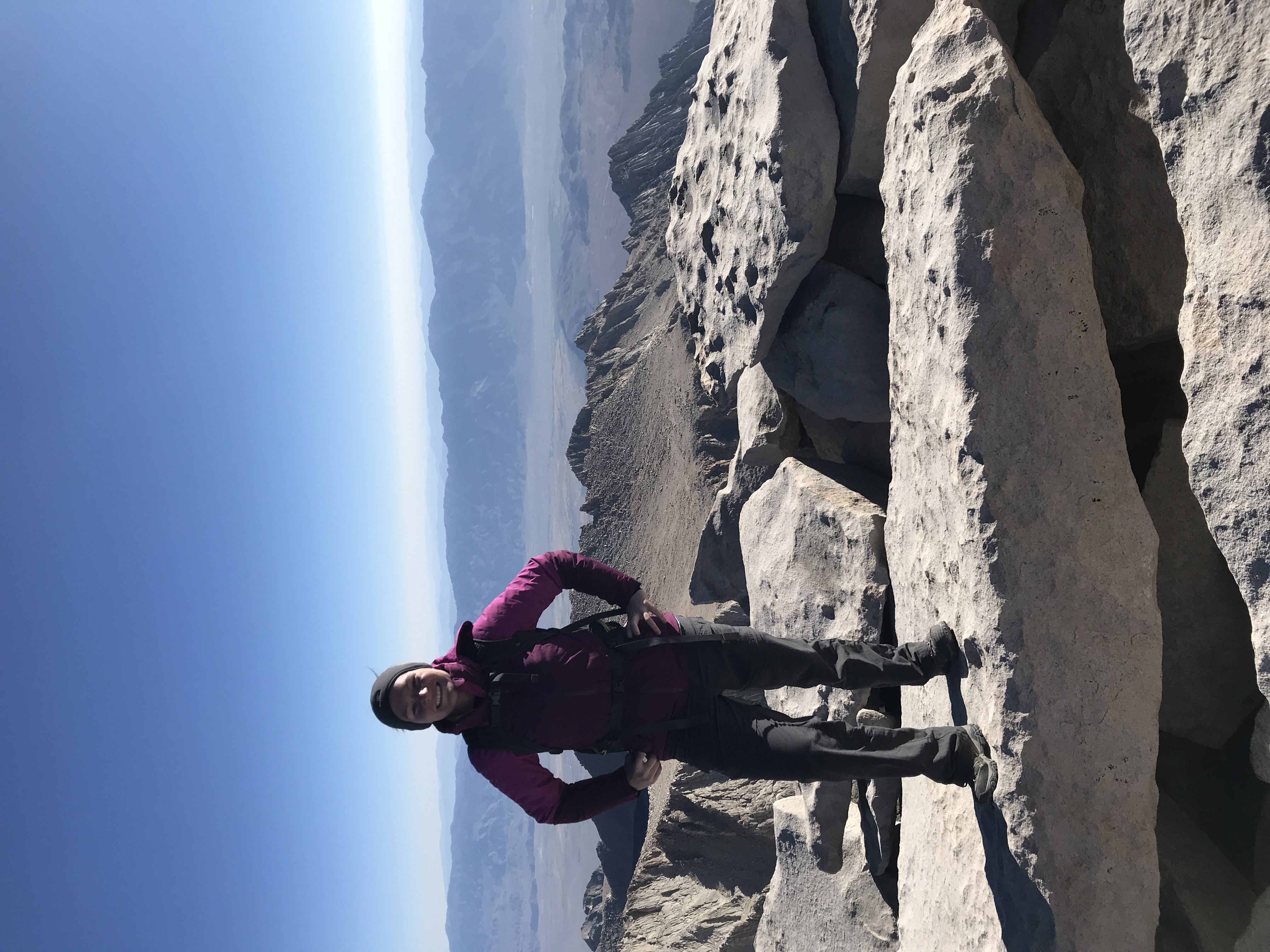
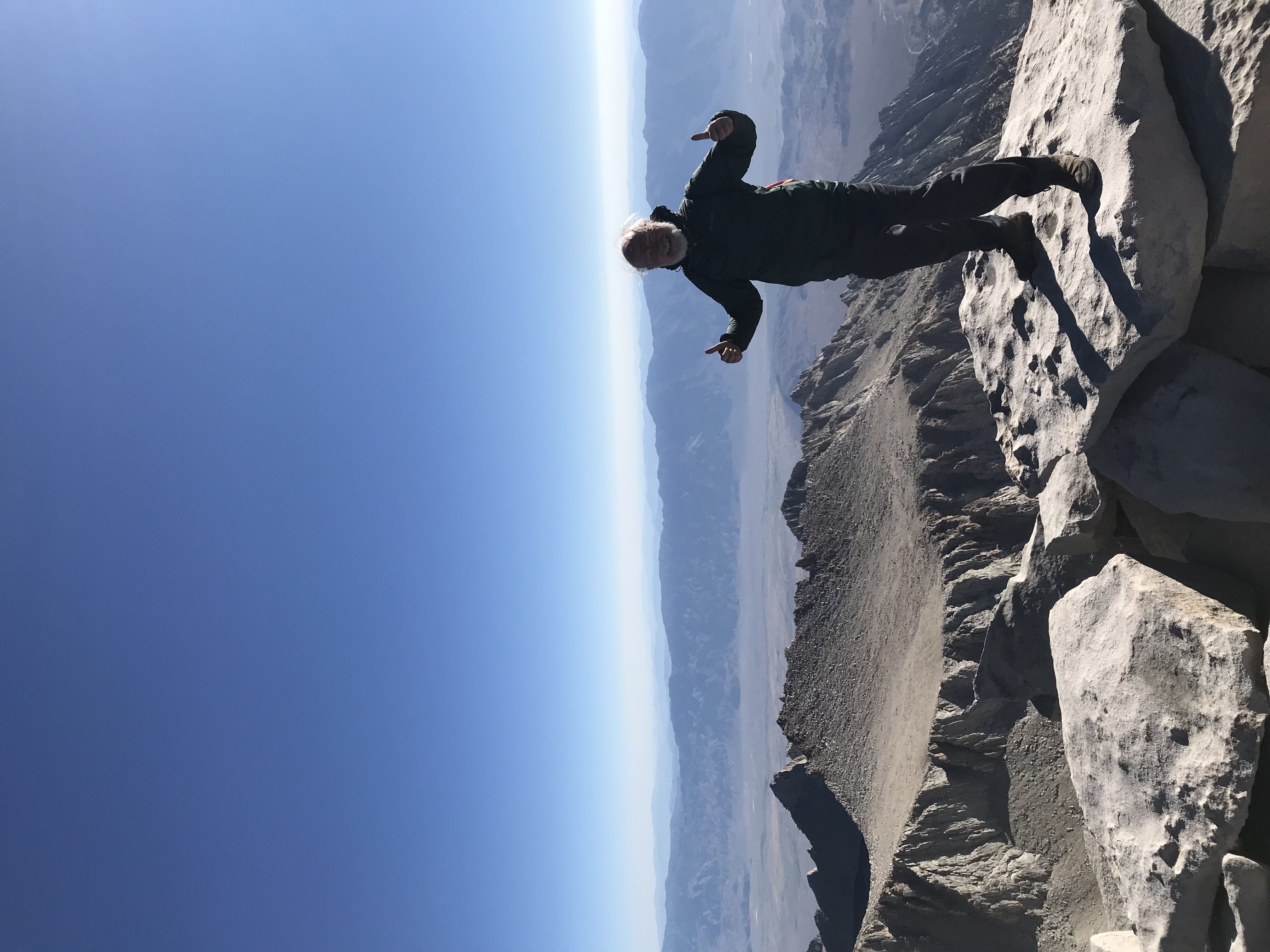
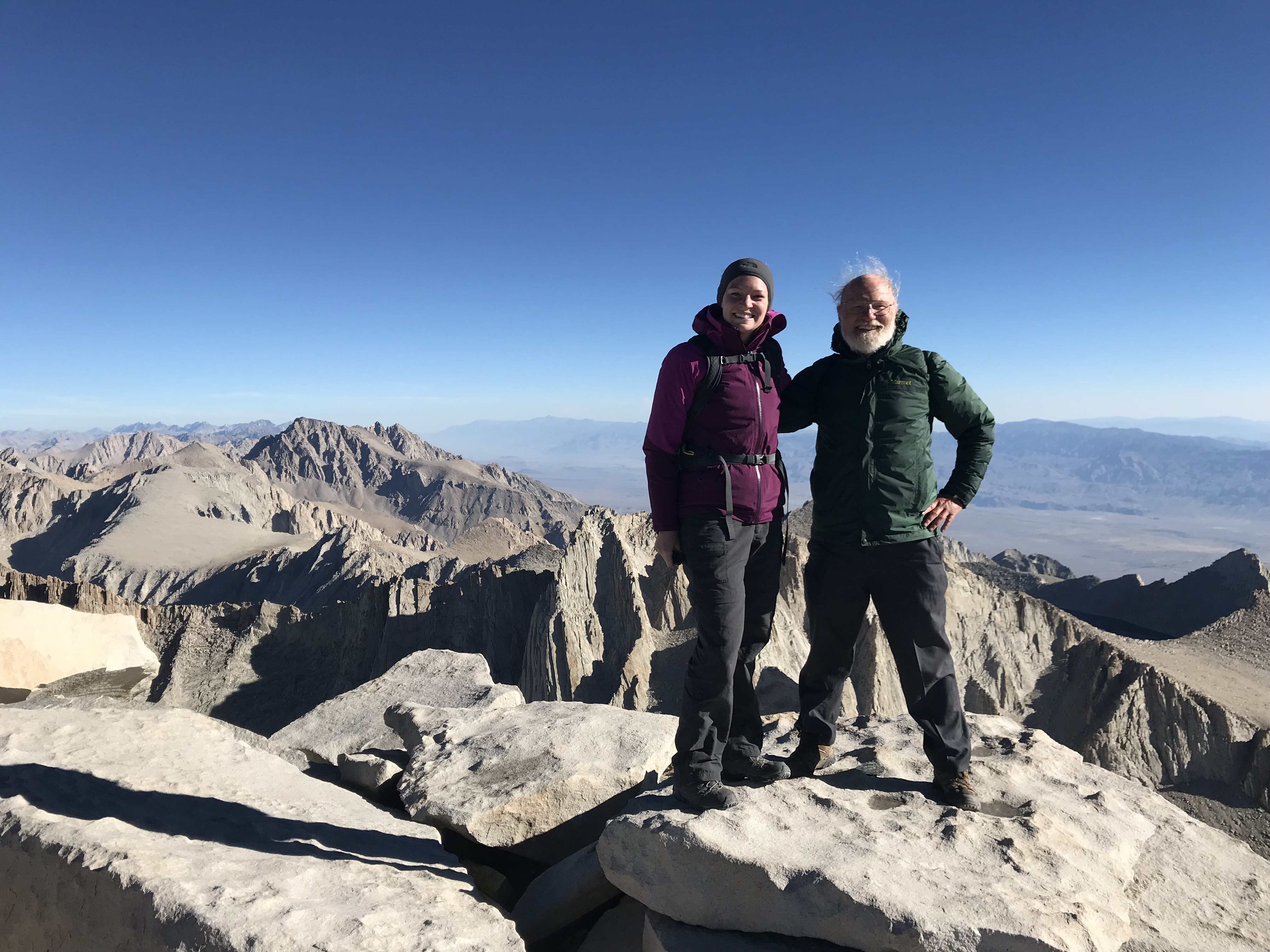
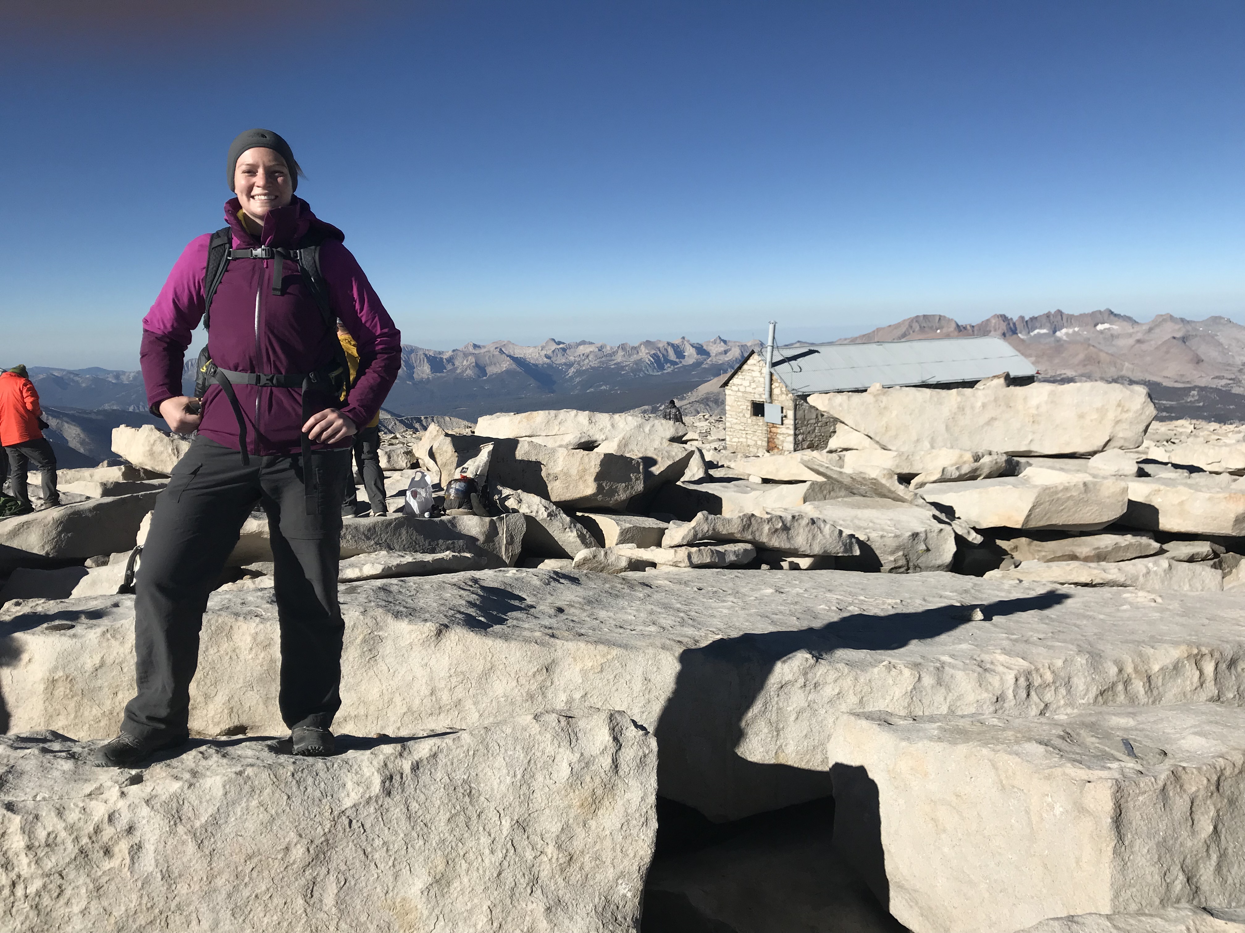
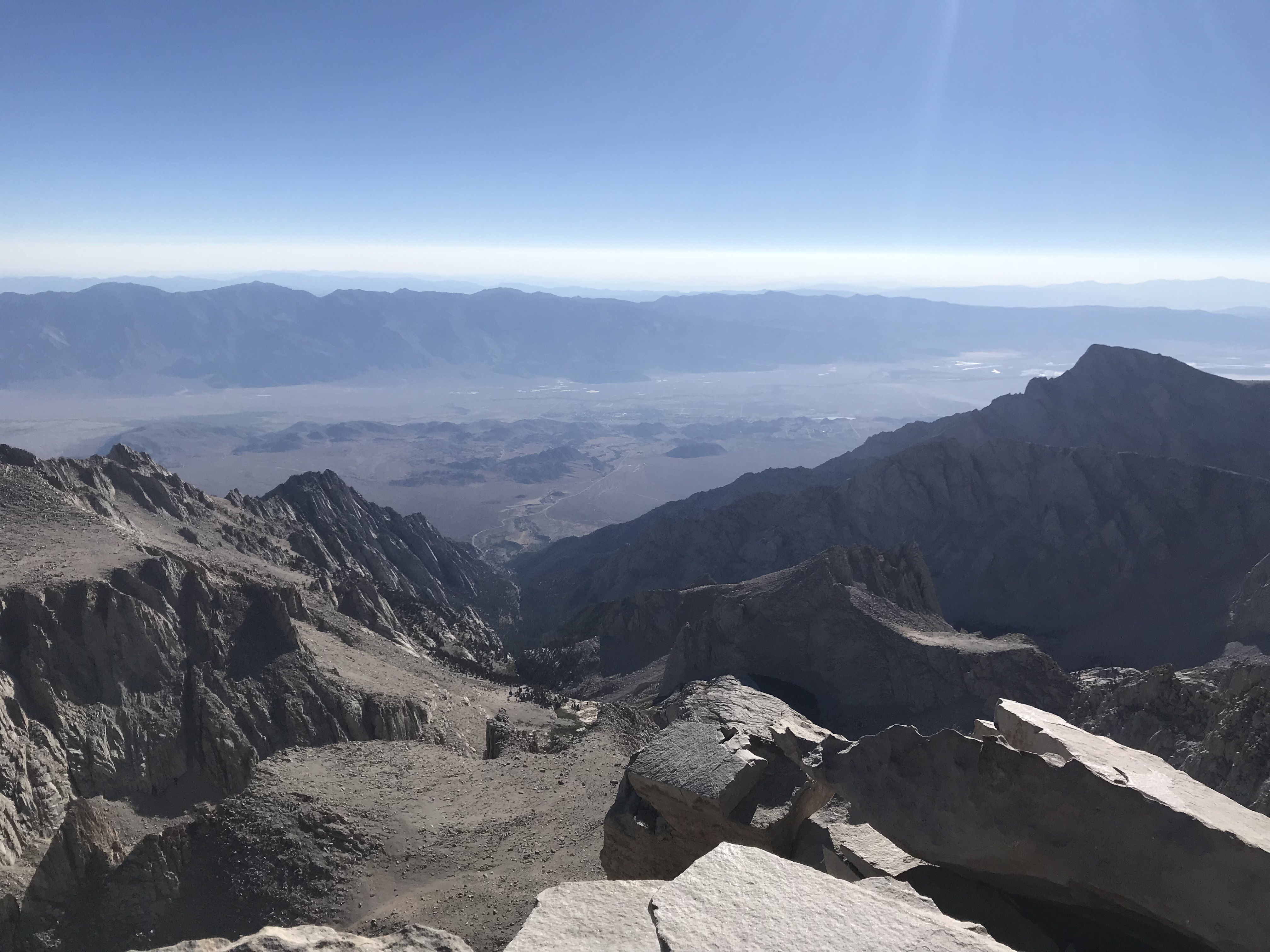
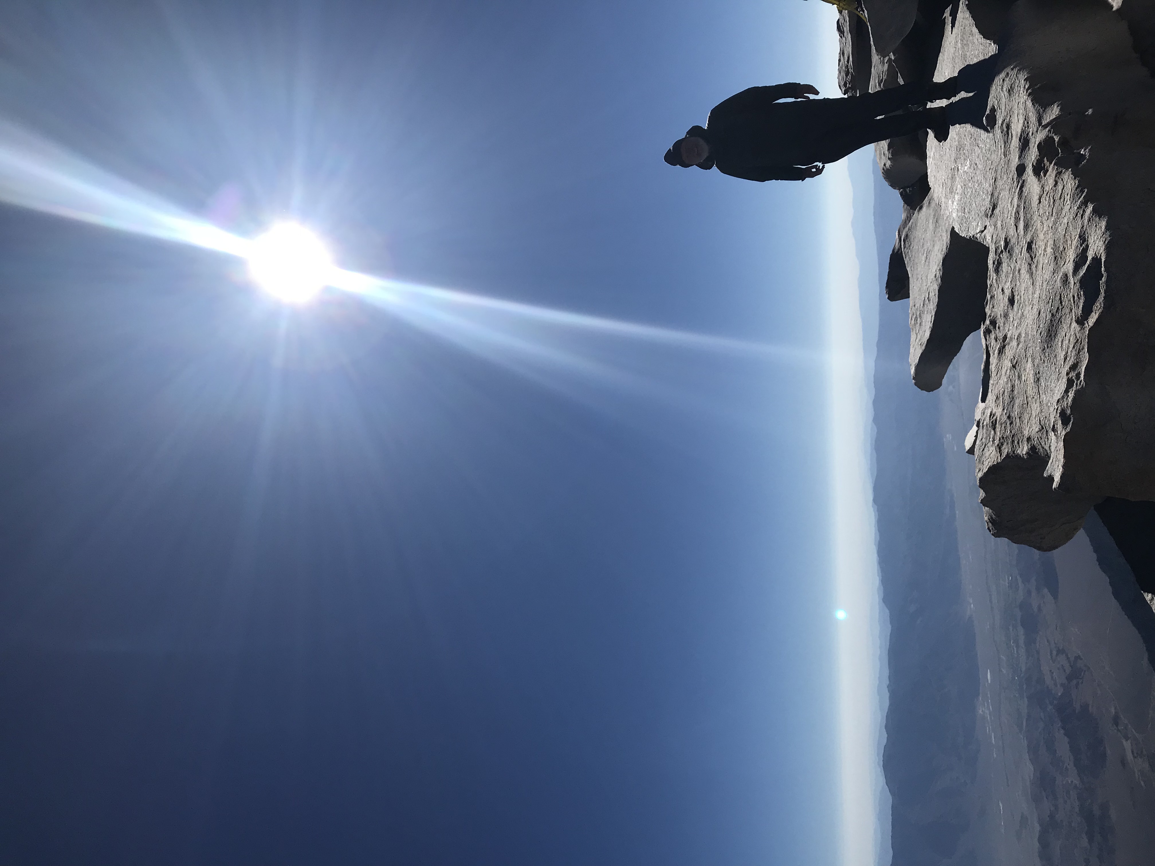
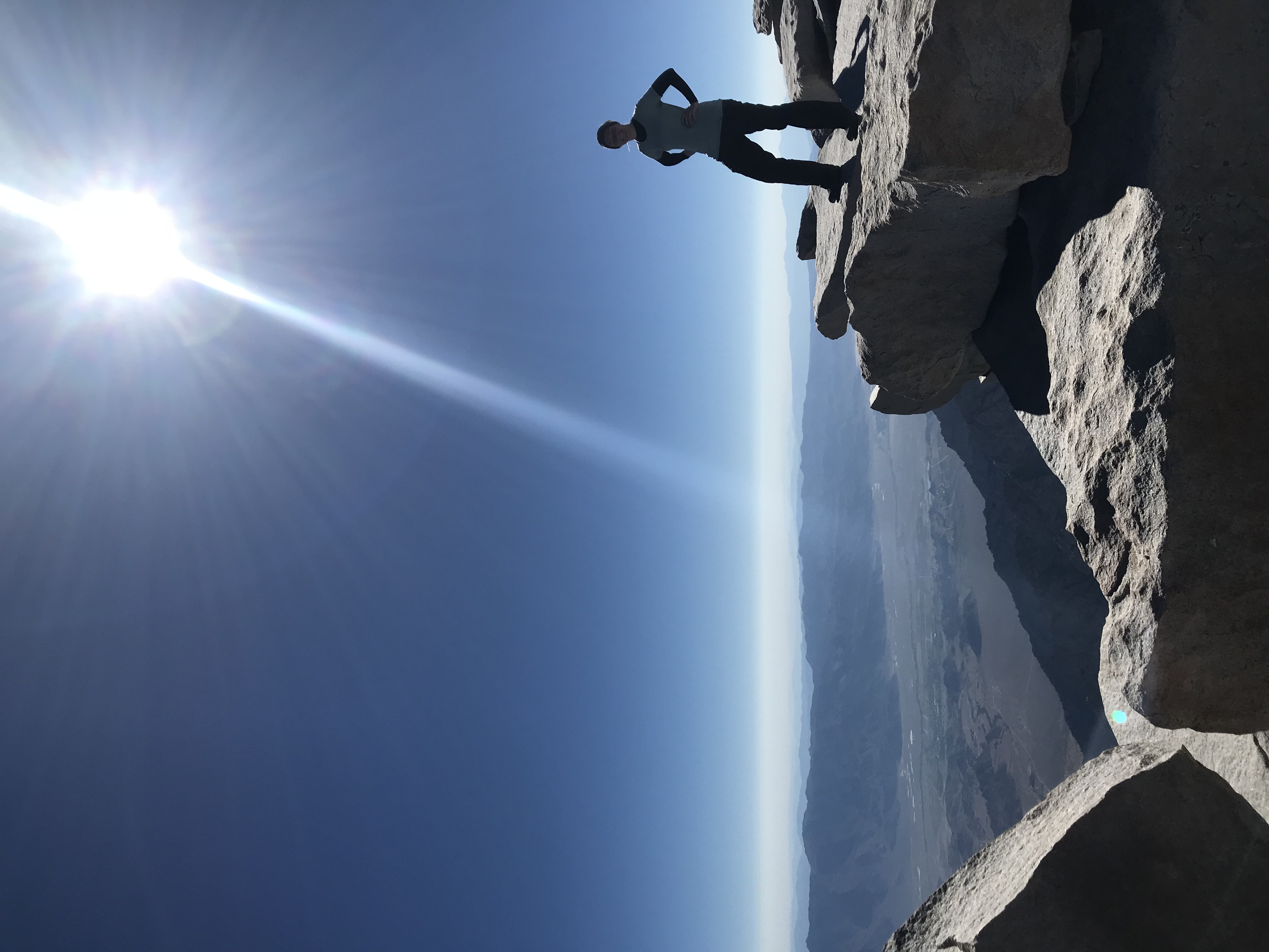
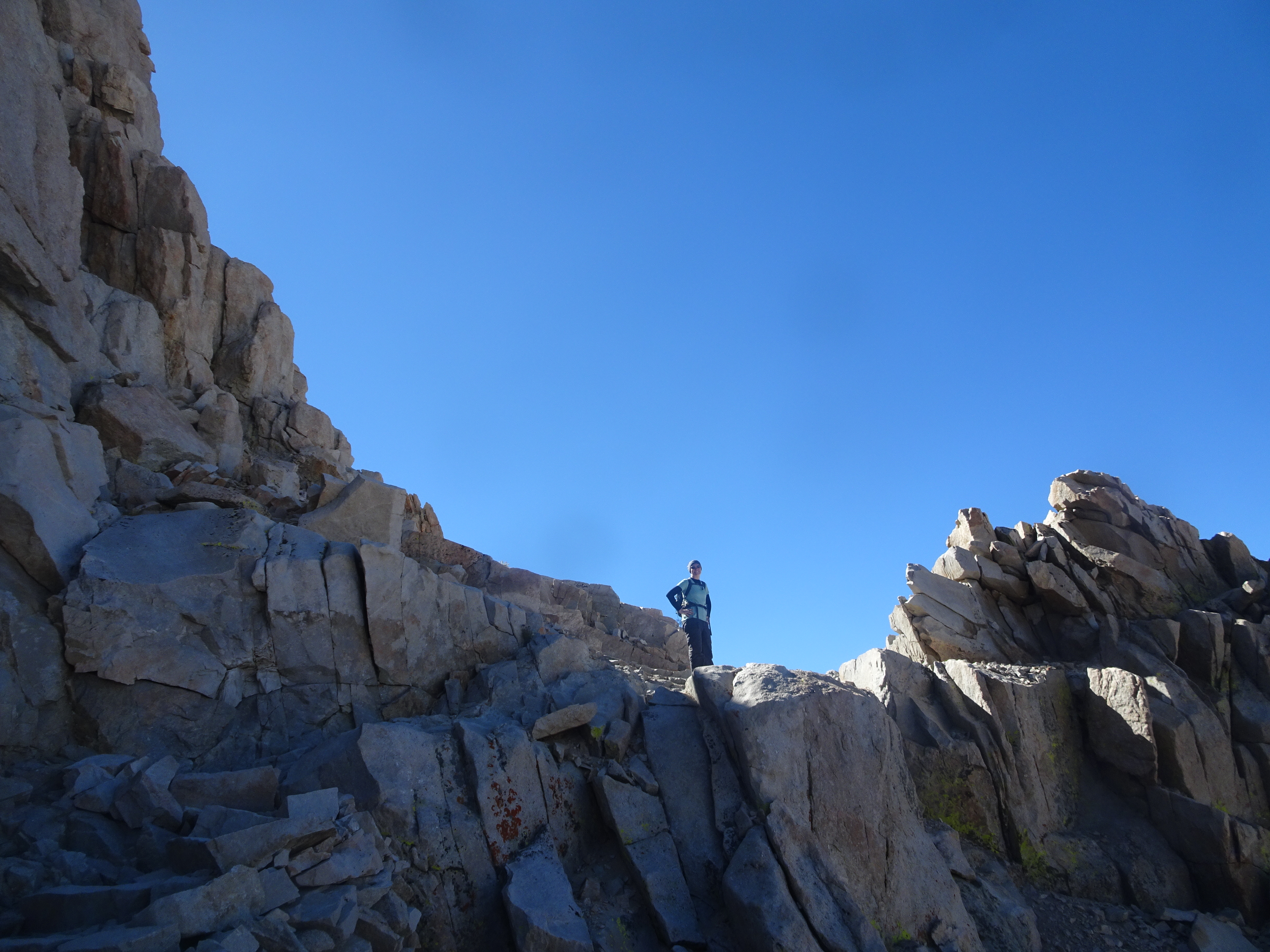
Summit of Mt. Whitney
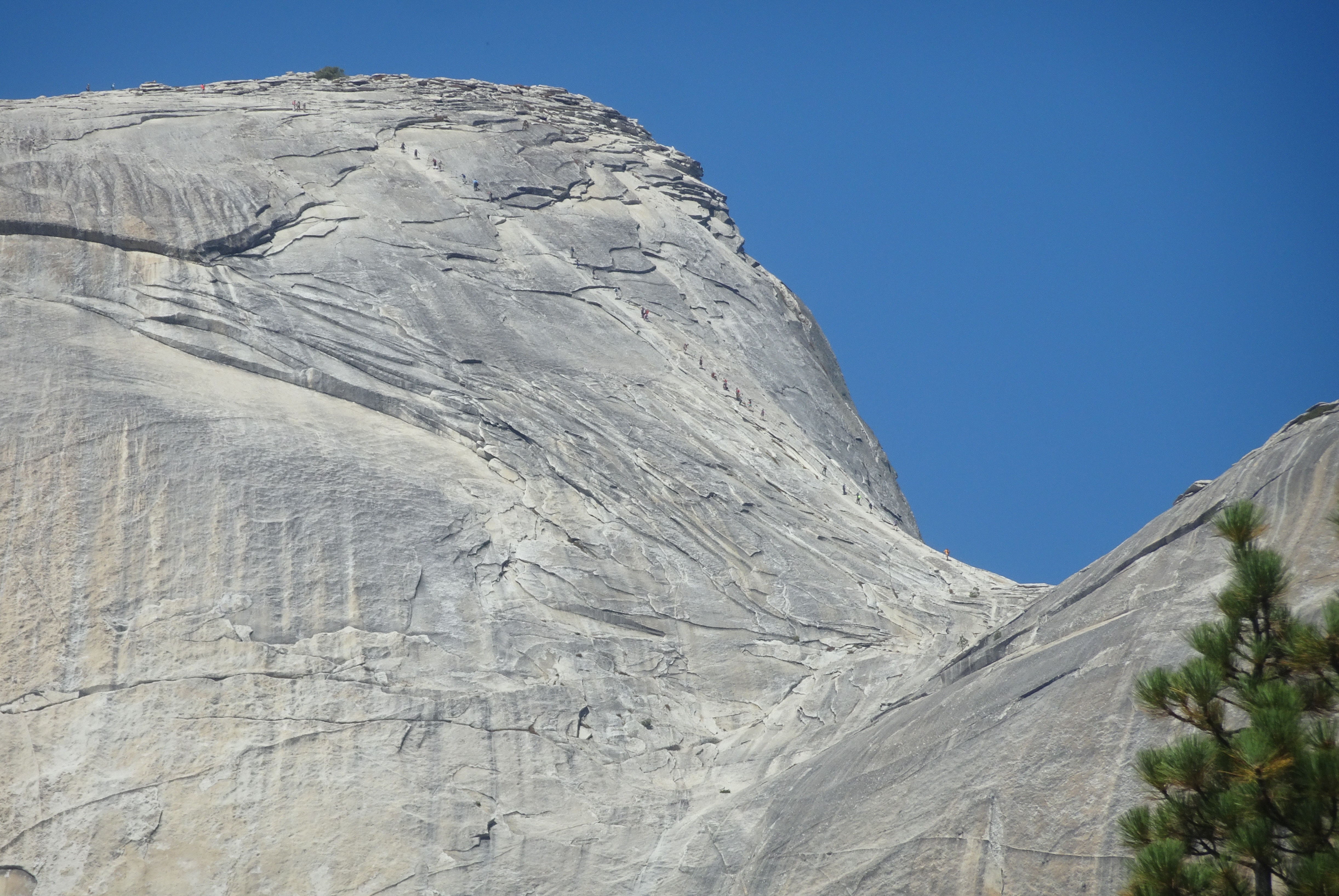
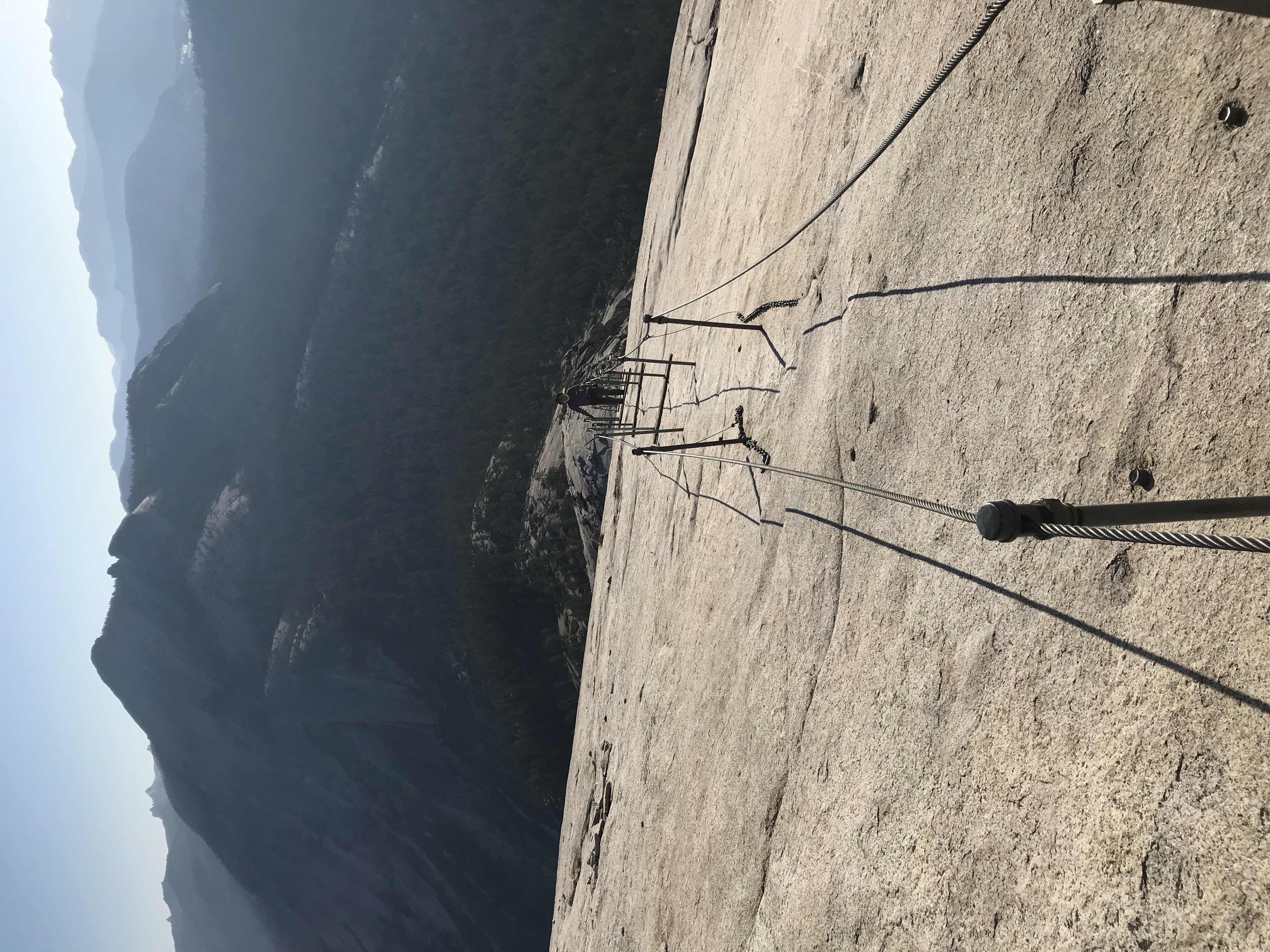
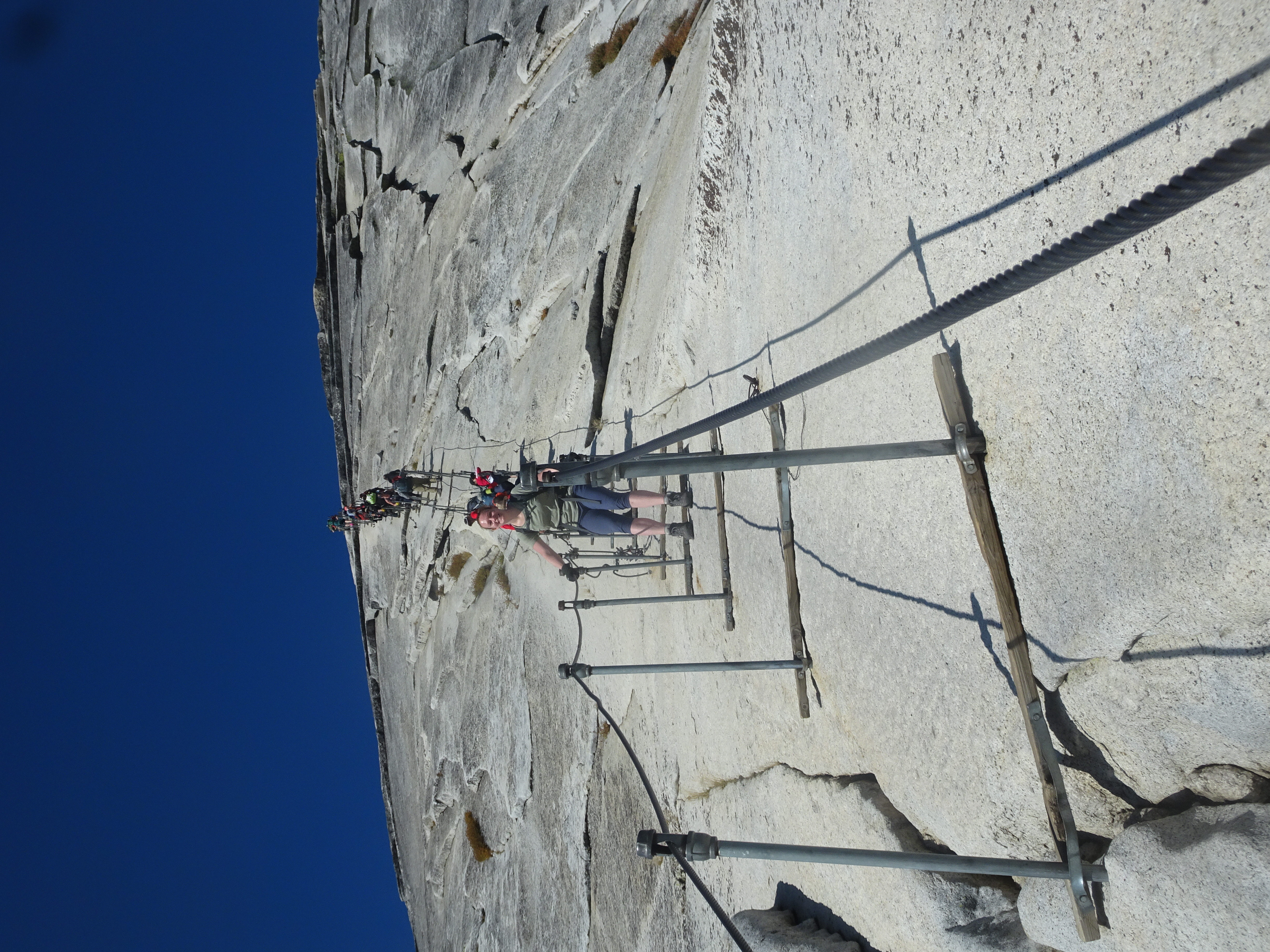
View of Half Dome cables as we were leaving - many more people than when we went up
Video suggestion: All videos shown below are very short and HD (1080p). I find best YouTube settings are HD (1080p), slow motion (0.25 or 0.50), and full screen.
Highlights/Memorable Events
Summit Half Dome using the cables.
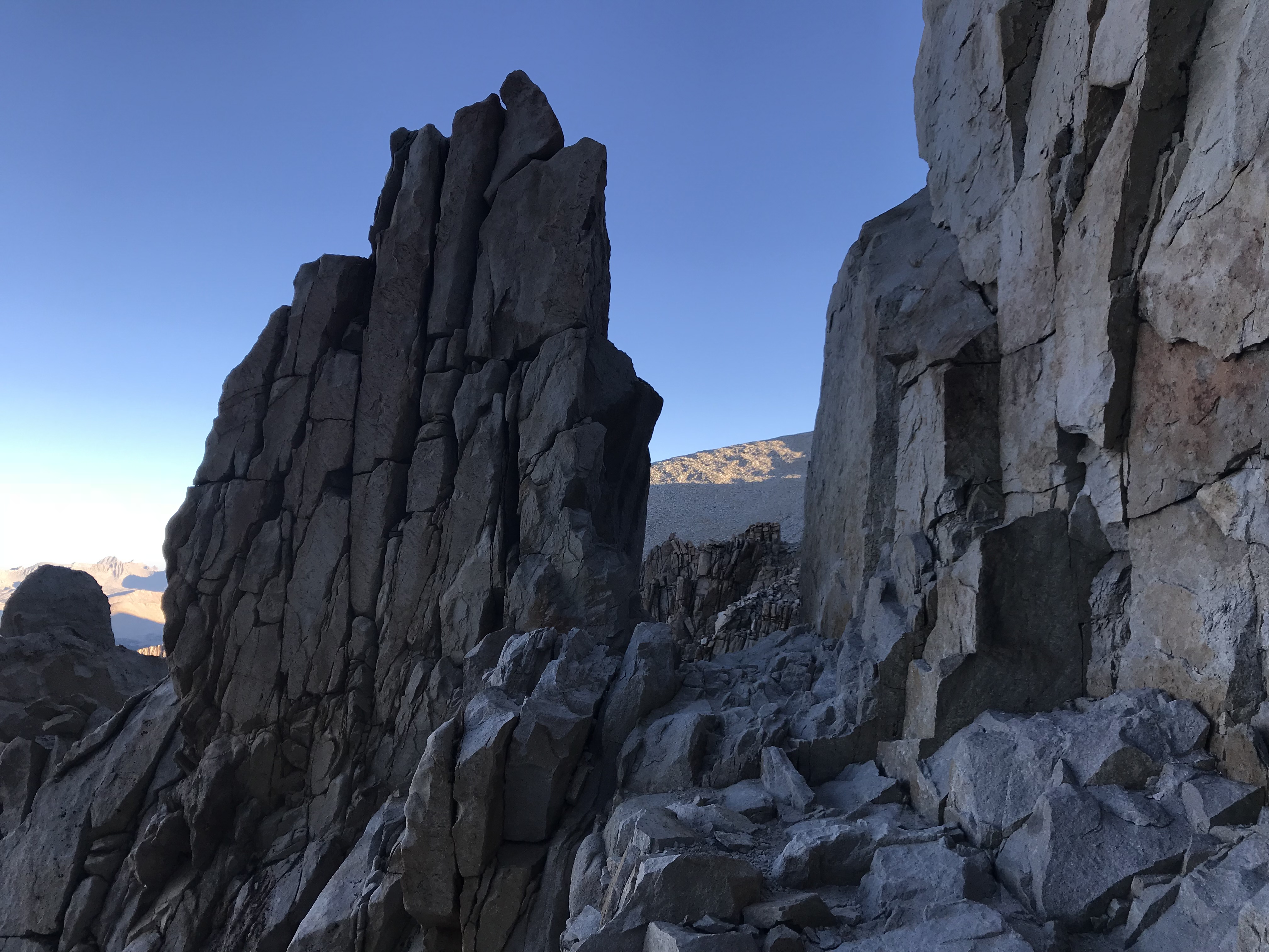
Summit Mt. Whitney, tallest mountain in the 48 contiguous United States.
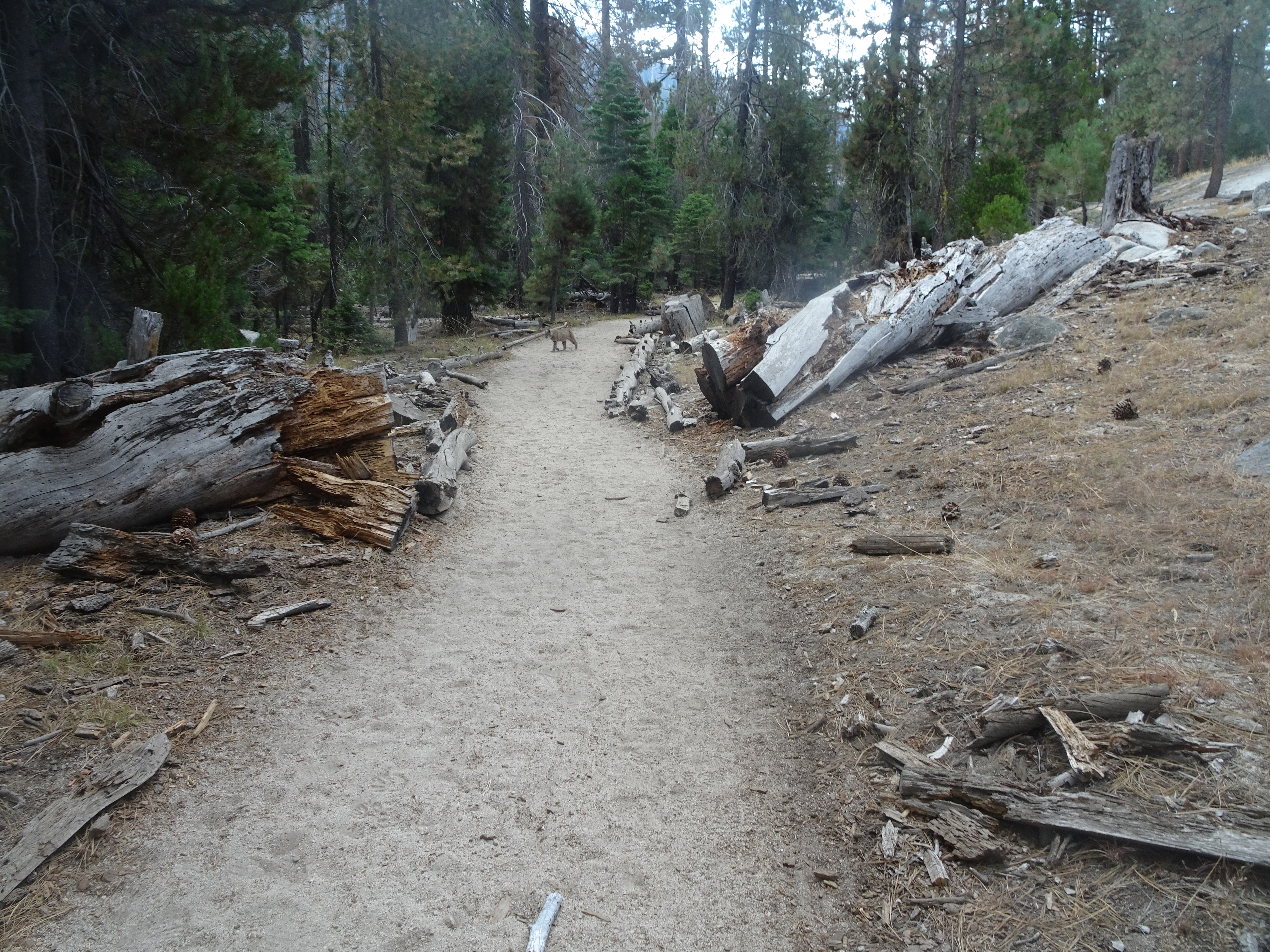
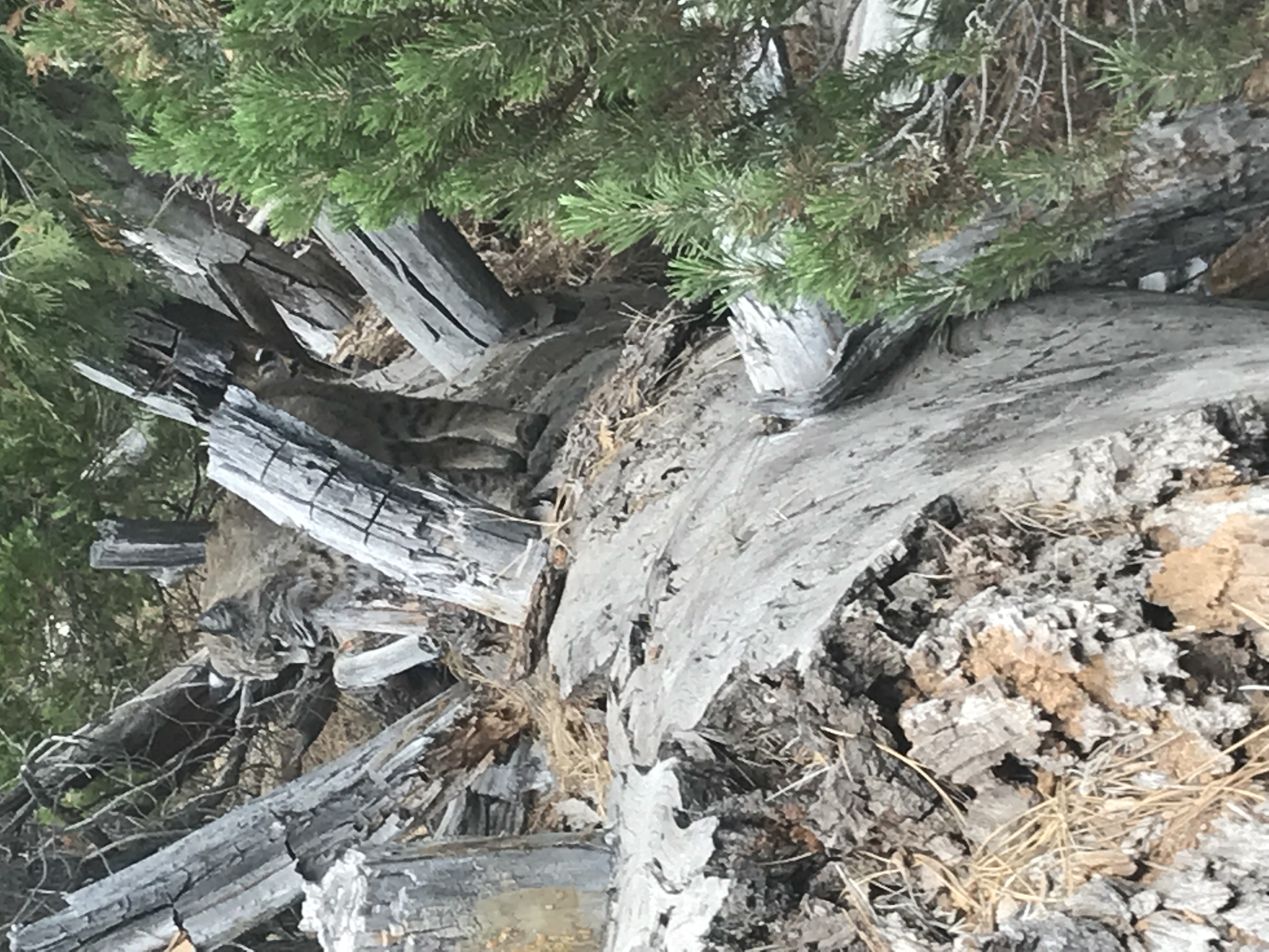
See the largest bobcat either of us has ever seen walking down the same trail we are and having him sit on a log and watch us less than ten feet away.
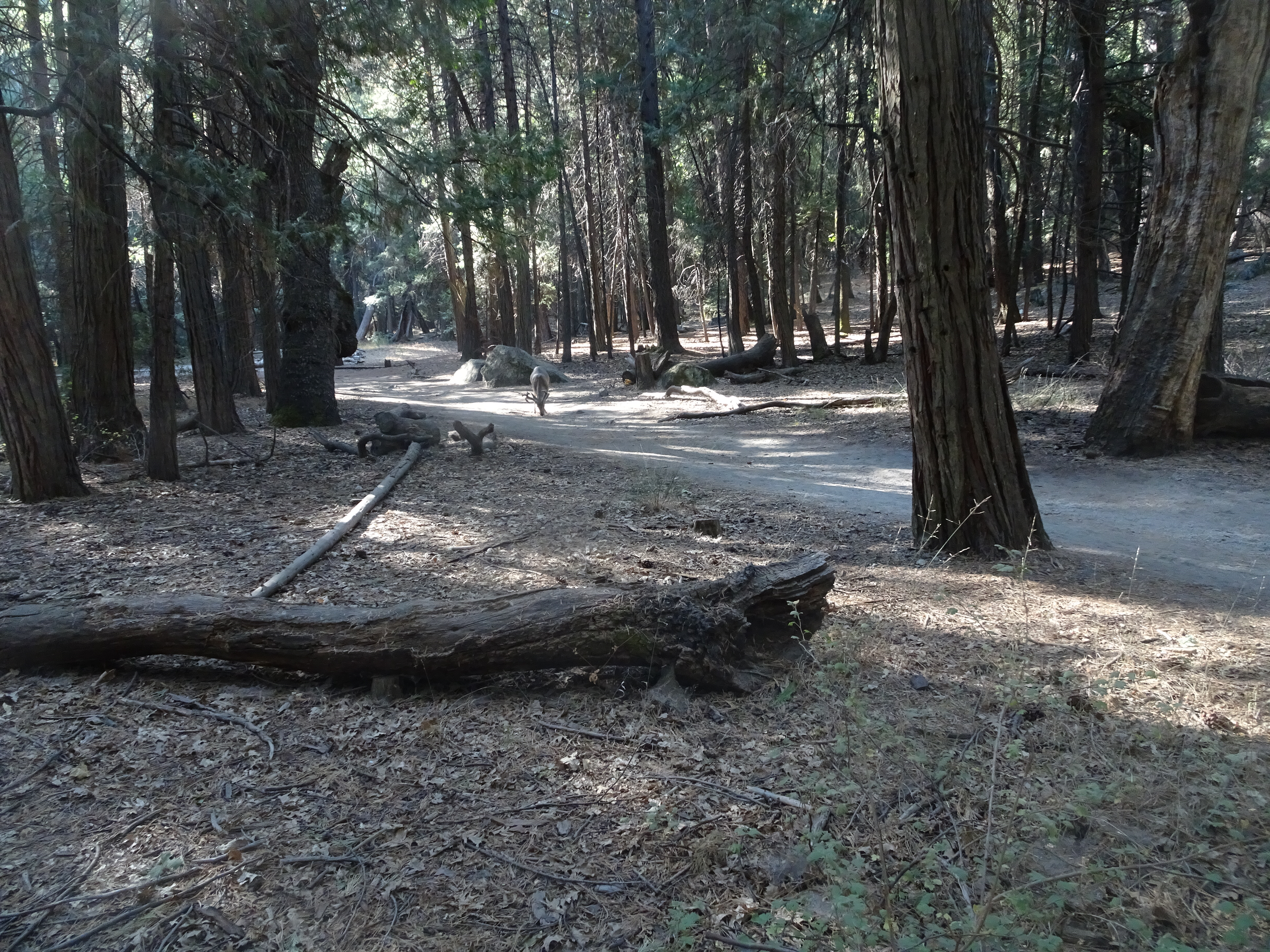
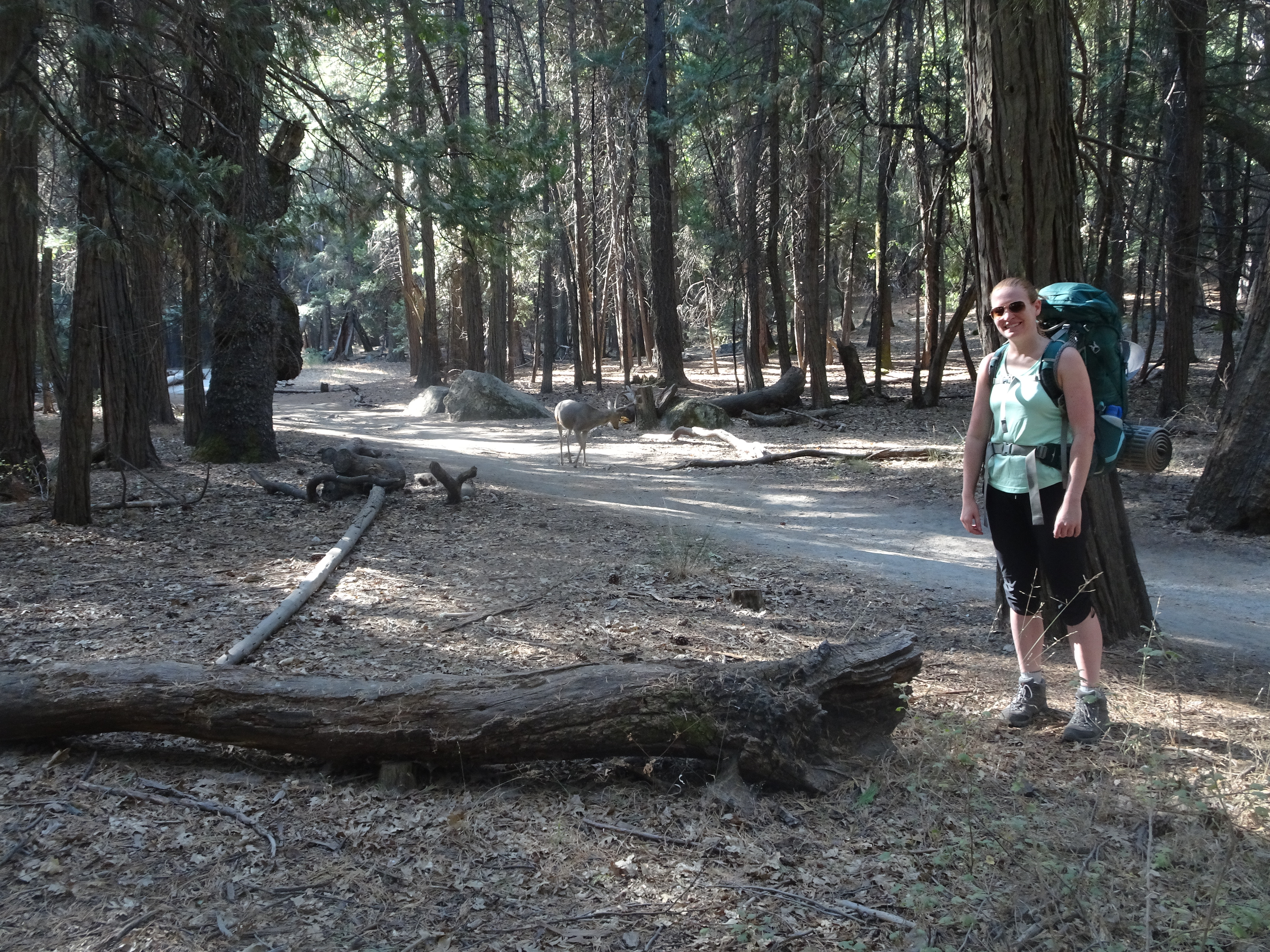
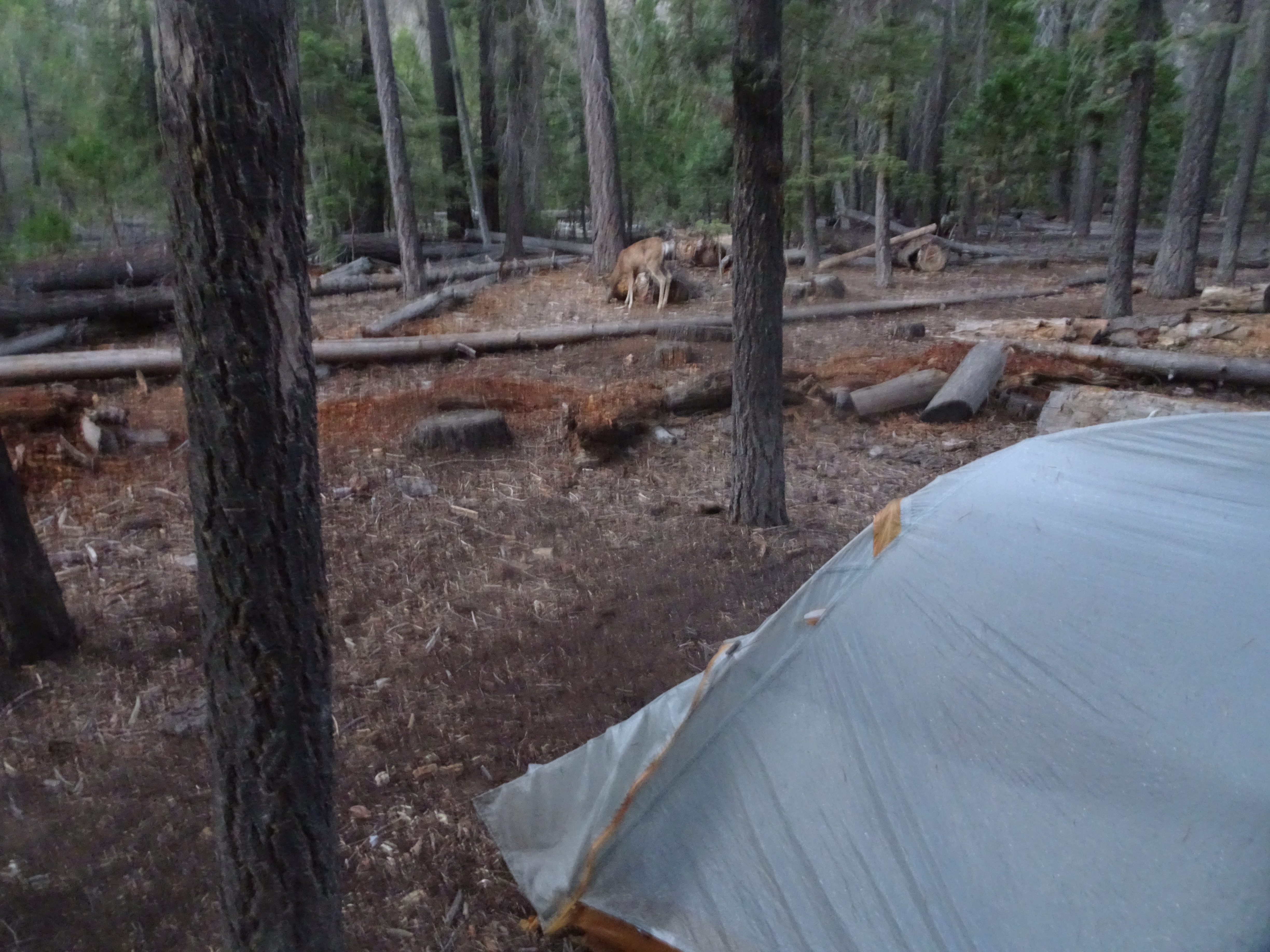
Having a buck calmly blocking the trail and eating as we were just starting our backpacking trip.
Arriving at Nevada Falls and hearing a woman state "I heard a scream, but saw nothing". Later we found out a young man had just died after falling over 800'.
Largest pancake we have ever seen - too big to complete.
WAG bags (which are used to carry your own excrement back down to the trail head) - we never had to use them, timing is everything.
Day 1, Saturday, September 1, 2018
Summary: Molly arrives in Santa Rosa and we finish preparing for our backpacking trip.
Diary:
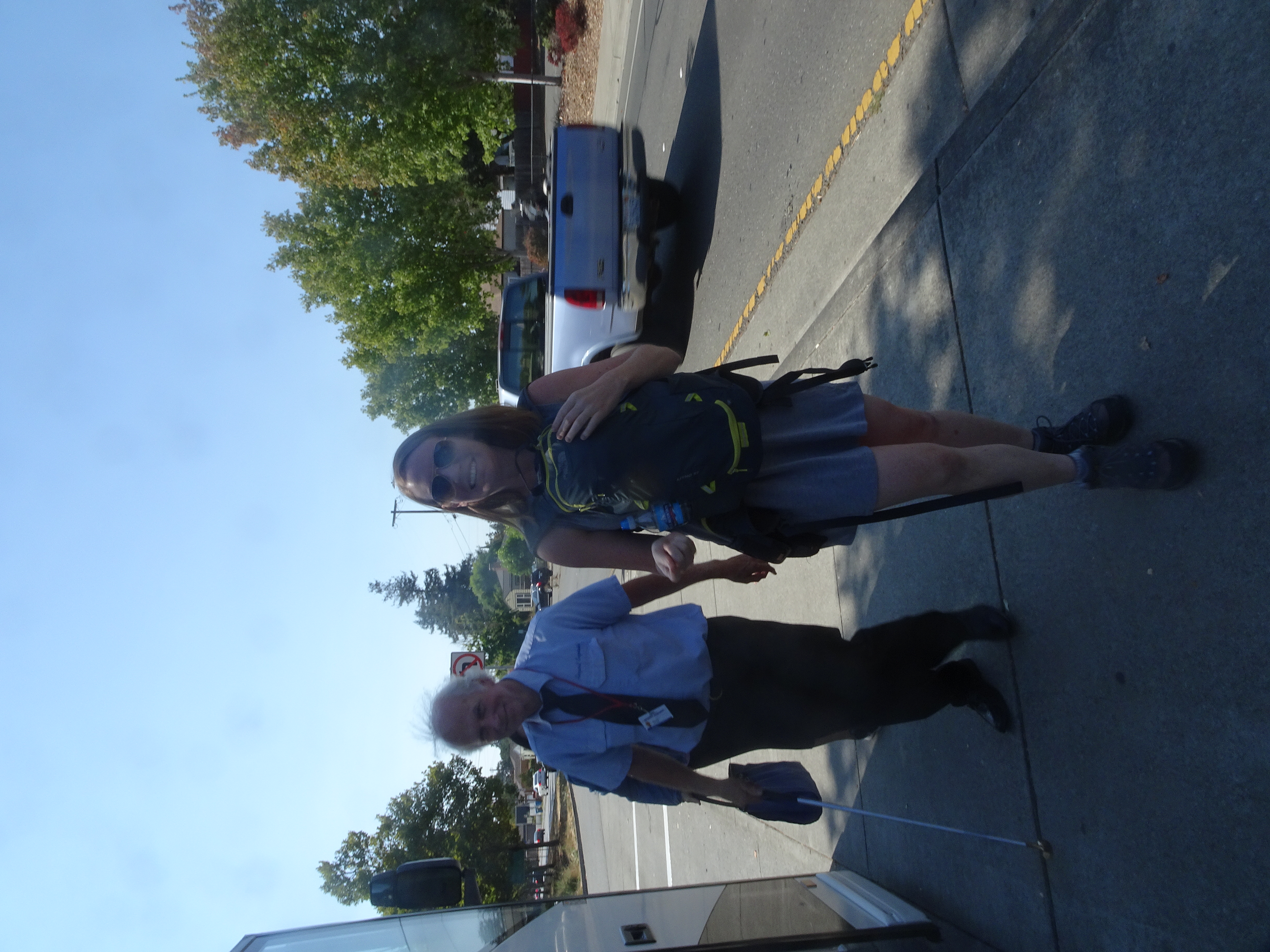
Molly takes a bus from the airport to Santa Rosa and, since the bus is late, Shirley and Bob drive over to Target and get an extra camera memory chip. Then Molly arrives!
Reenie lends Molly tent and backpack (and coffee cup) and shows Molly how to set up tent. Then Reenie gives us all home made persimmon bread.
Shirley makes and serves dinner, then Bob serves his own rum raisin ice cream, which turns out to be the worst he has ever put together.
Day 2, Sunday, September 2
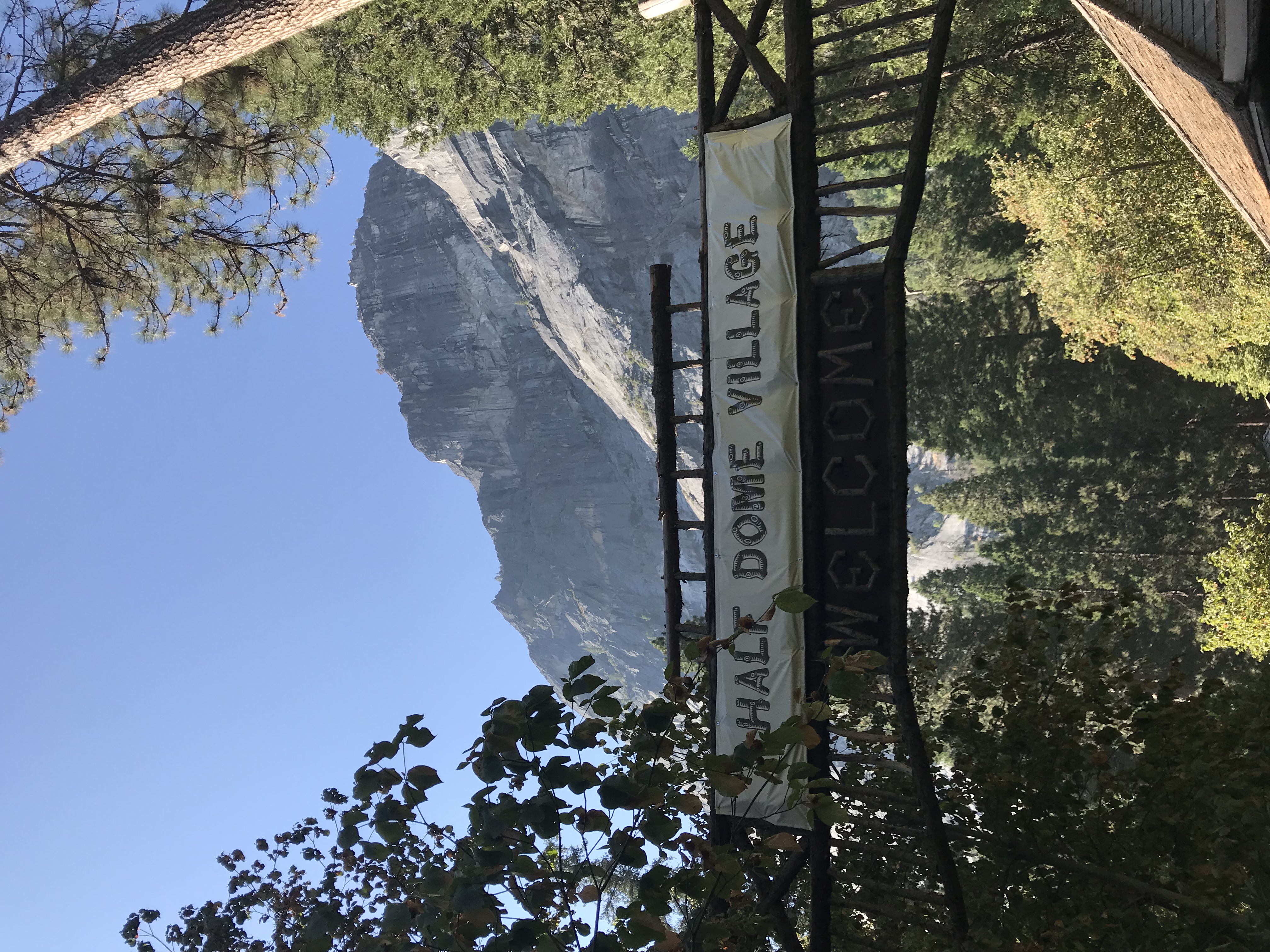
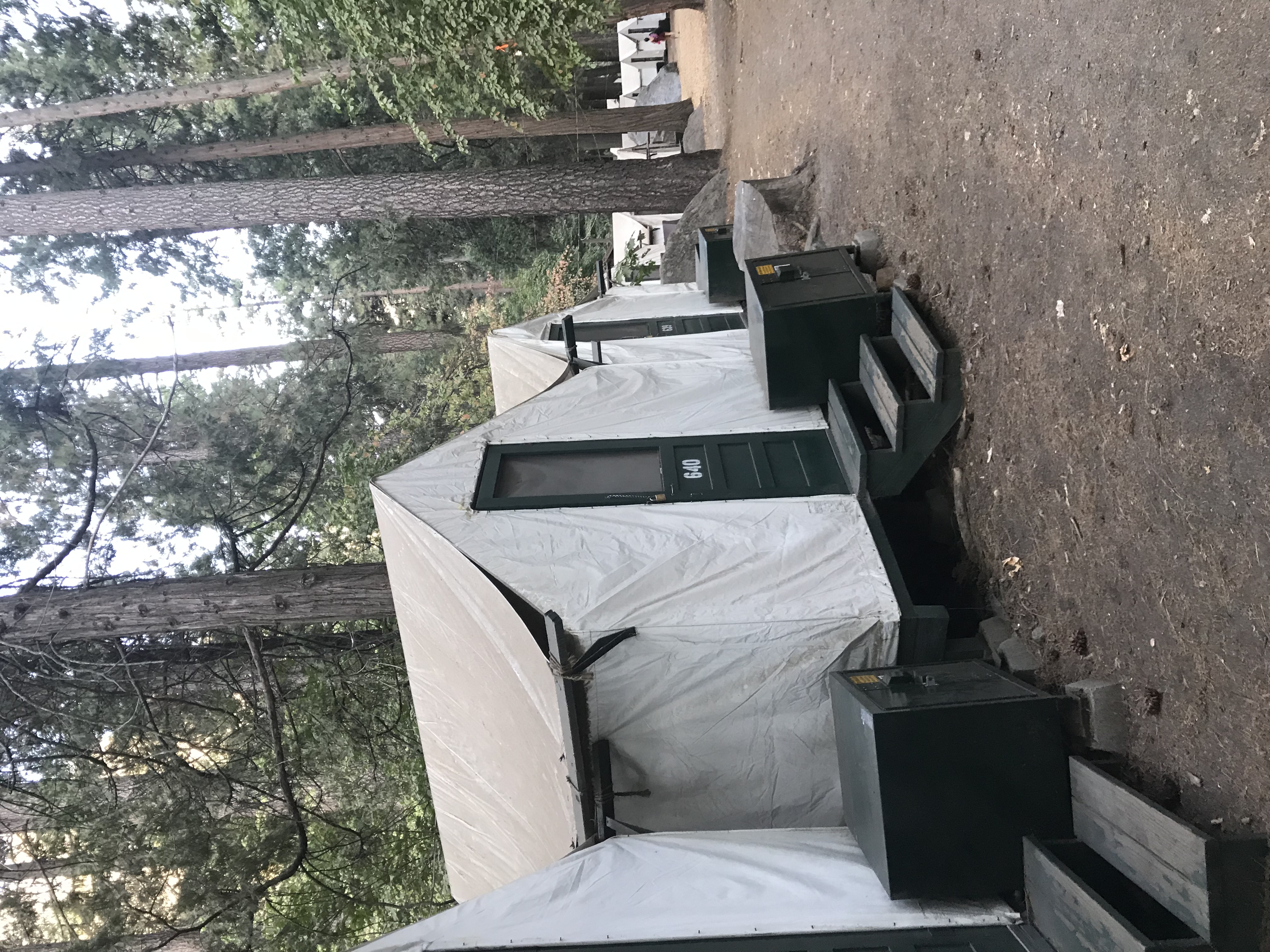
Summary: We drive to Yosemite Valley where we stay in a tent cabin and eat at the cafeteria in Half Dome Village.
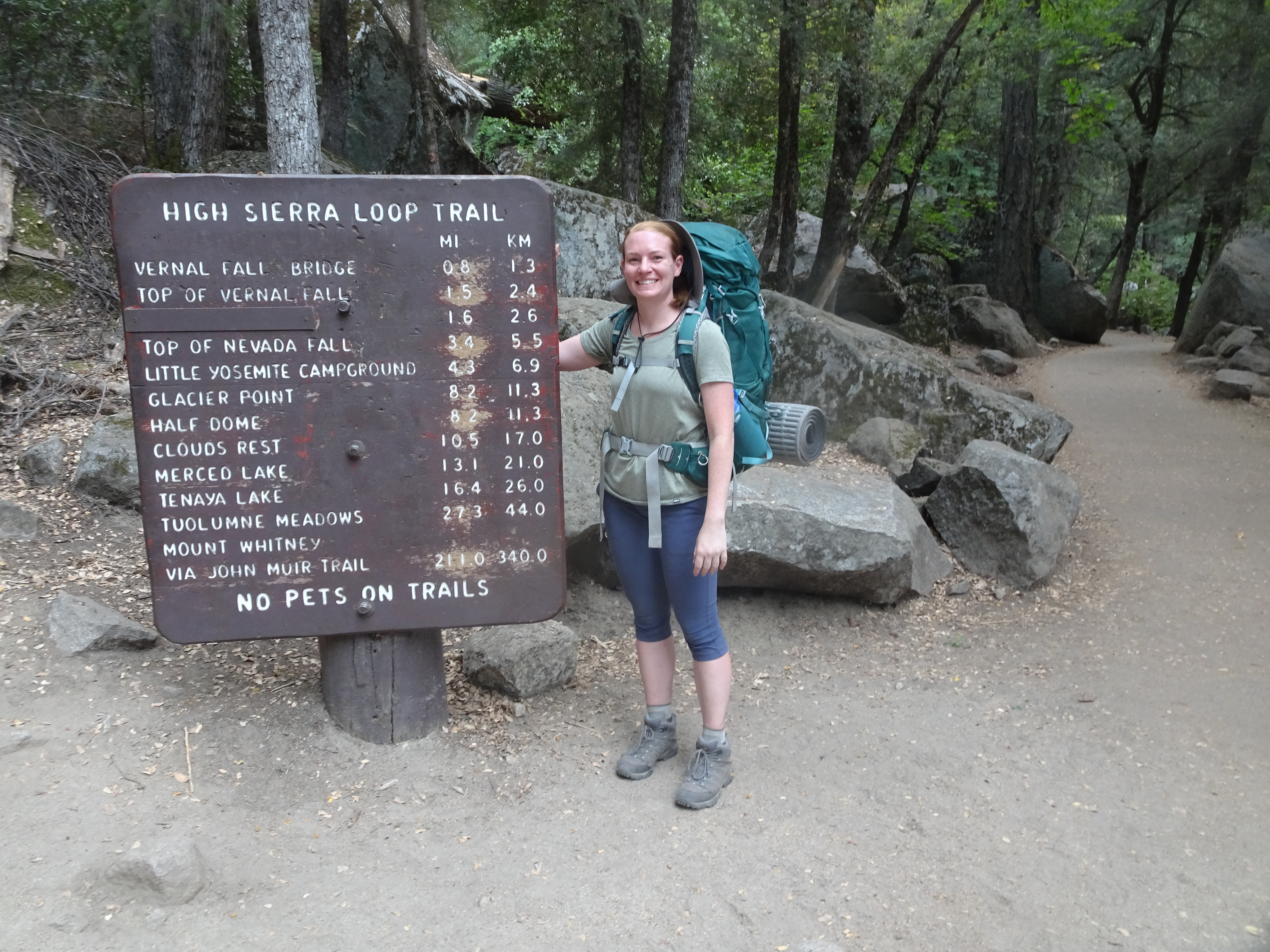
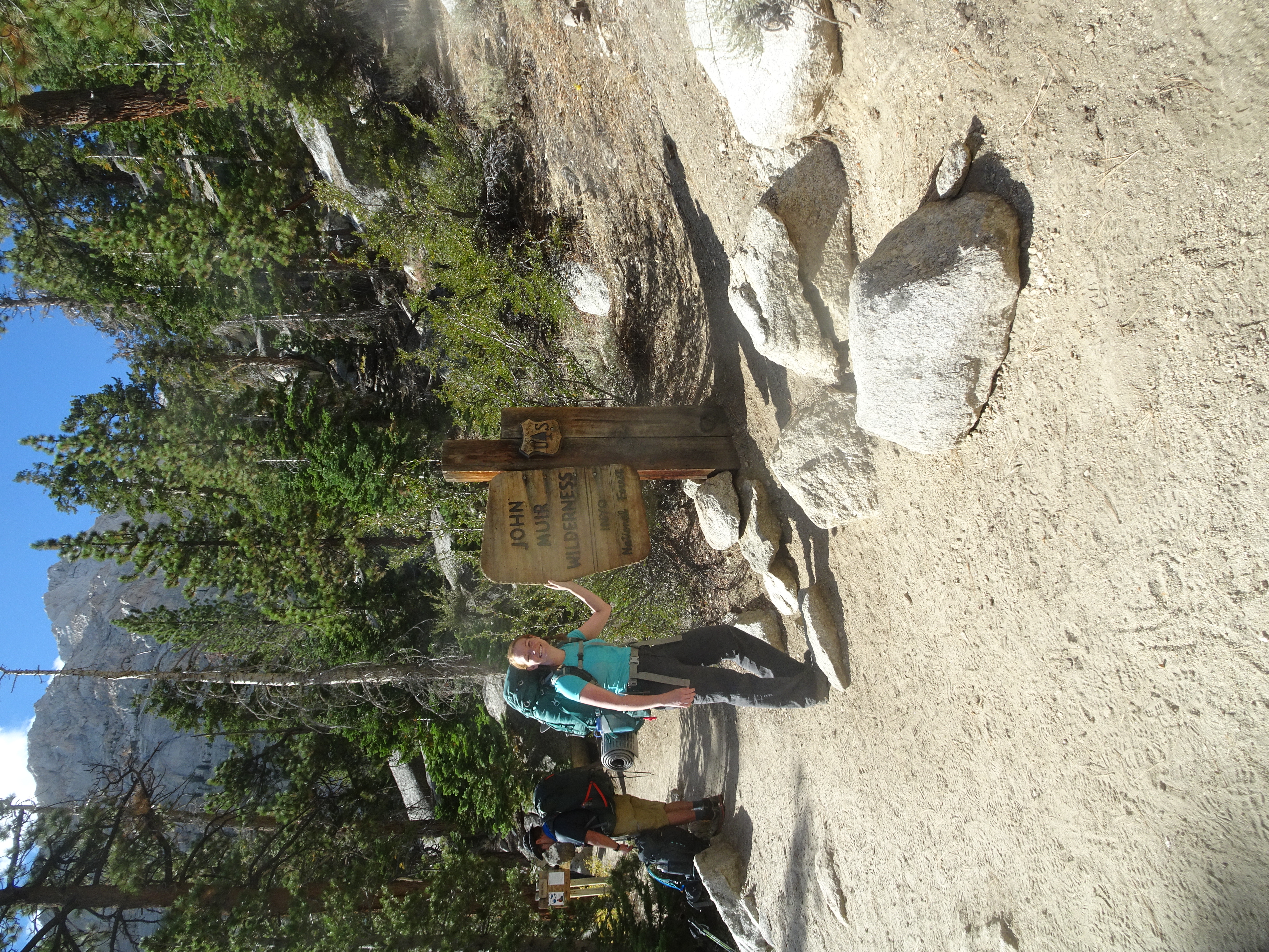
Drive to Yosemite Valley, skipping the Subway shop in Oakdale in order to get to the Wilderness Center by 11 AM, when permits we need for Little Yosemite Valley and Half Dome climb will be provided if available.
We arrive at Wilderness Center at 10:45 AM and are put on list of those wanting permits - only 2 groups ahead of us. We get our permits!
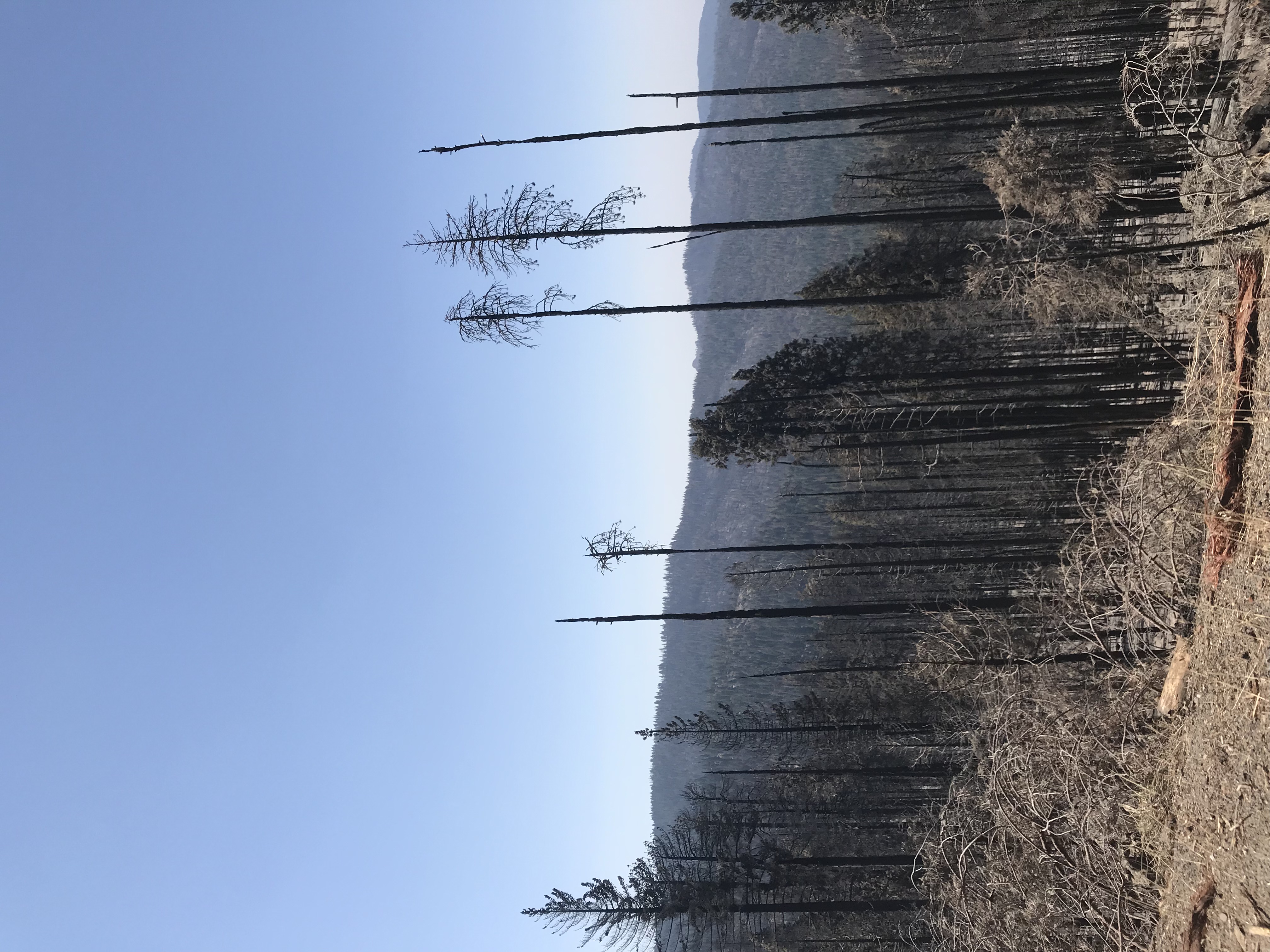
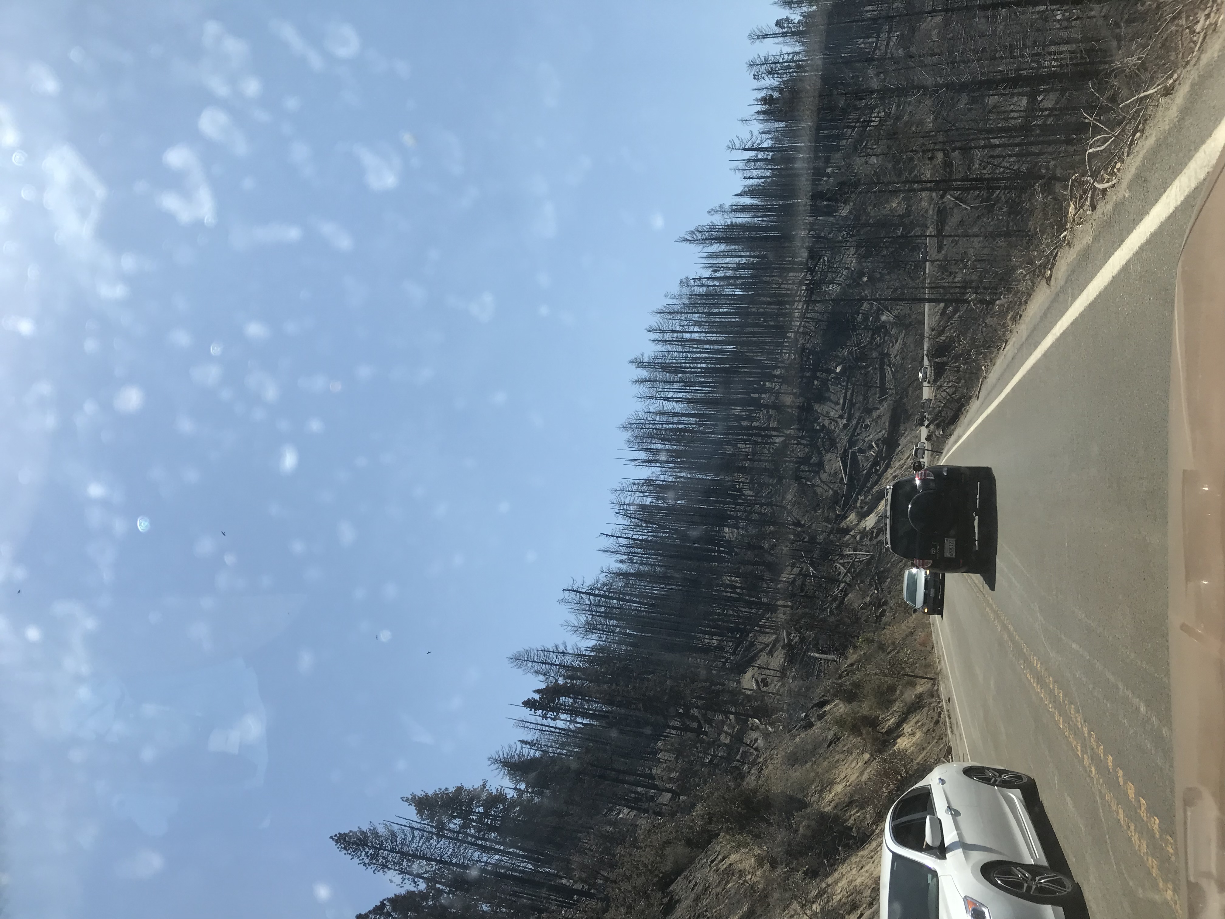
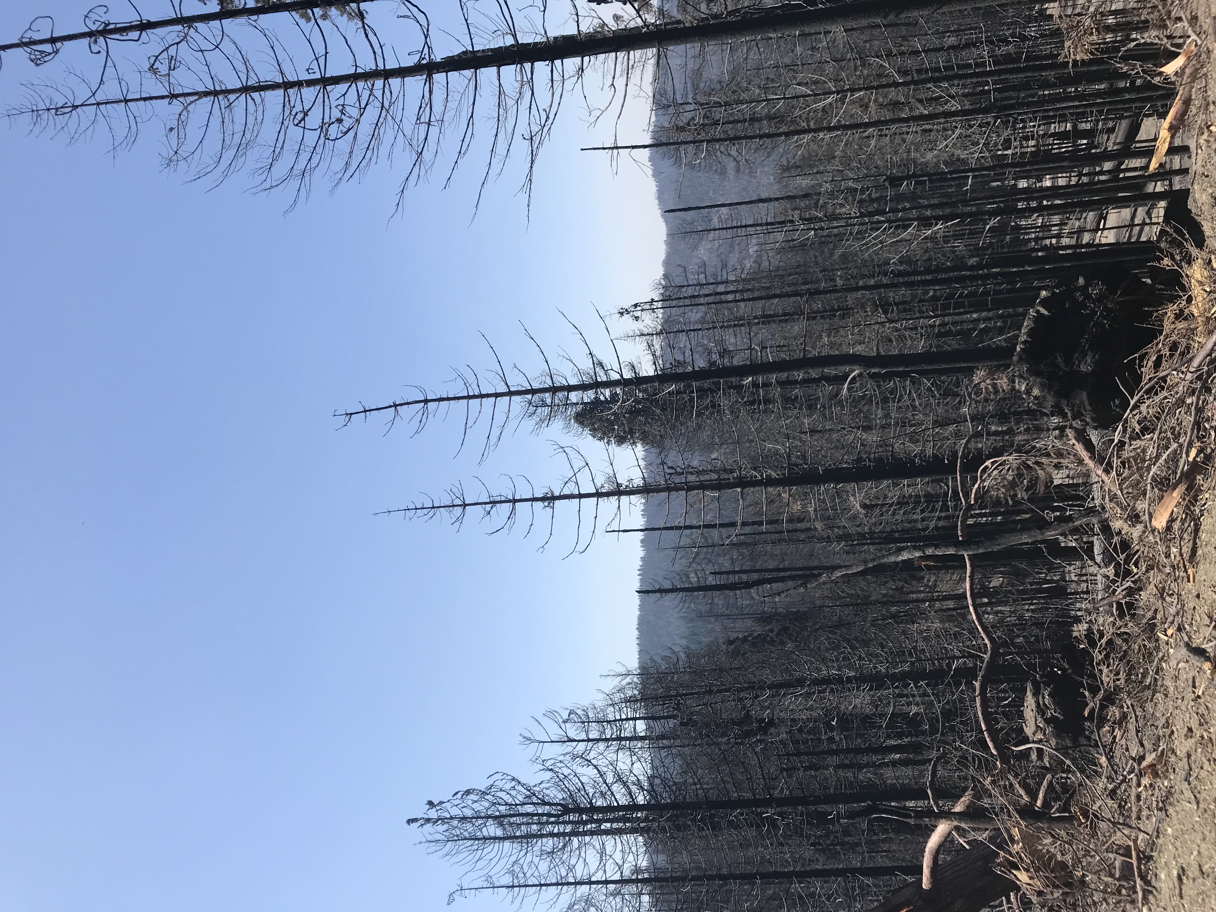
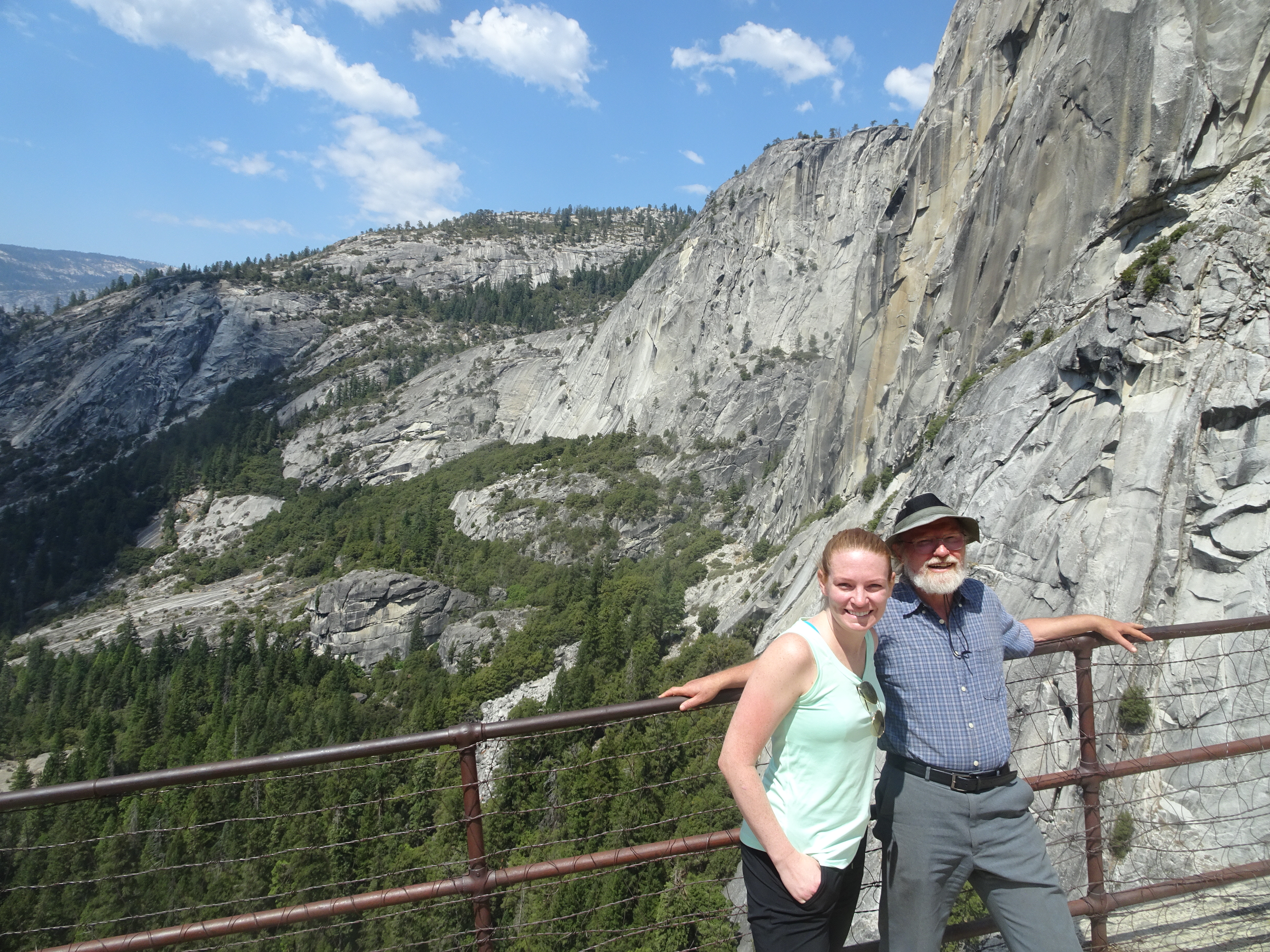
We cannot begin checking into our tent cabin in Half Dome Village until noon, so try to park the car - find no parking spaces. We try to drive up to Glacier Point - traffic is too heavy to get there (but did give us a view of the devastation of recent fires).
We drive back and find a parking space, get our tent cabin, and get on a free shuttle to Yosemite Falls. Our shuttle bus driver is awesomely, loudly obnoxious. Video above captures only a bit of it. We both wonder what all the foreign visitors we see on the bus must think of Americans.
Yosemite Falls is completely dry.
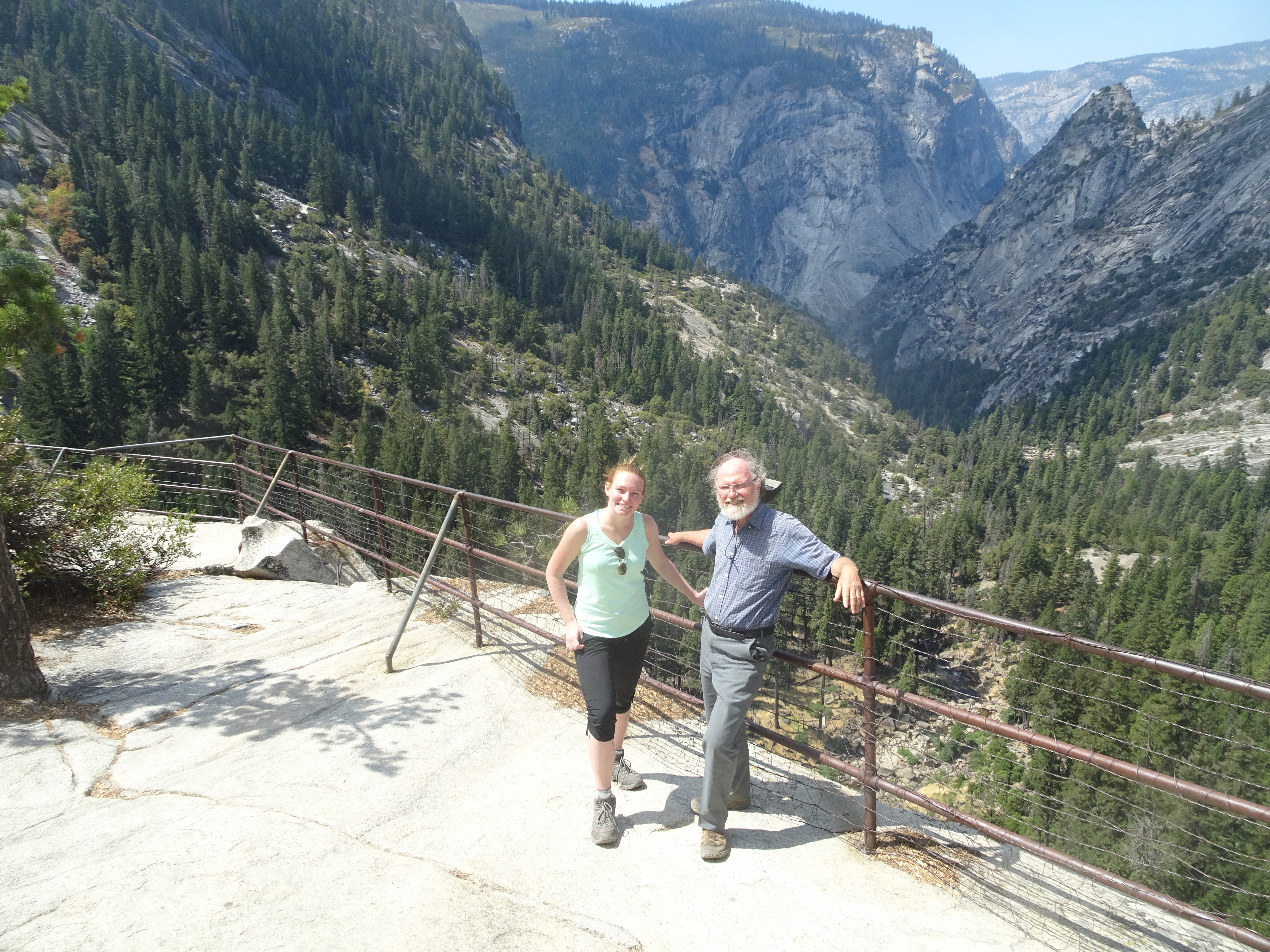
We walk to the trailhead for Upper Yosemite Falls and decide to hike up until 5:30 PM. At 5:30 PM exactly we get to a lookout with beautiful views.
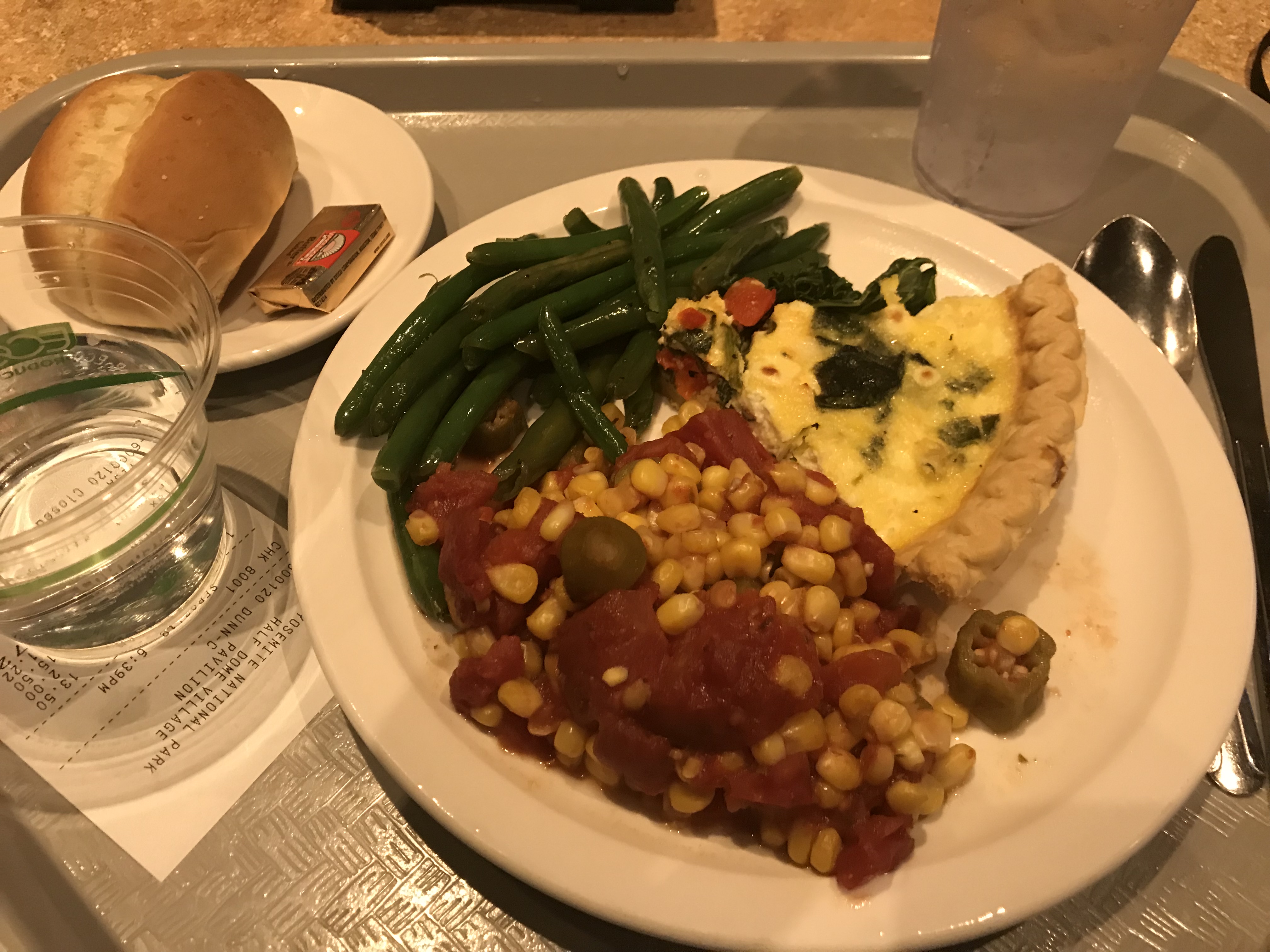
After enjoying the views, we hike back and go the cafeteria for a nice dinner. Then we return to our tent cabin and prepare for tomorrow.
Day 3, Monday, September 3
Summary: We backpacked to Little Yosemite Valley and set up camp.
We ate breakfast at the cafeteria, cleared out our tent cabin, checked out (but Bob left a flashlight behind) and drove to trail head parking lot.
After donning our backpacks we started on the trail and were immediately stopped by a buck who was occupying the trail and obviously in no hurry to get off the trail.
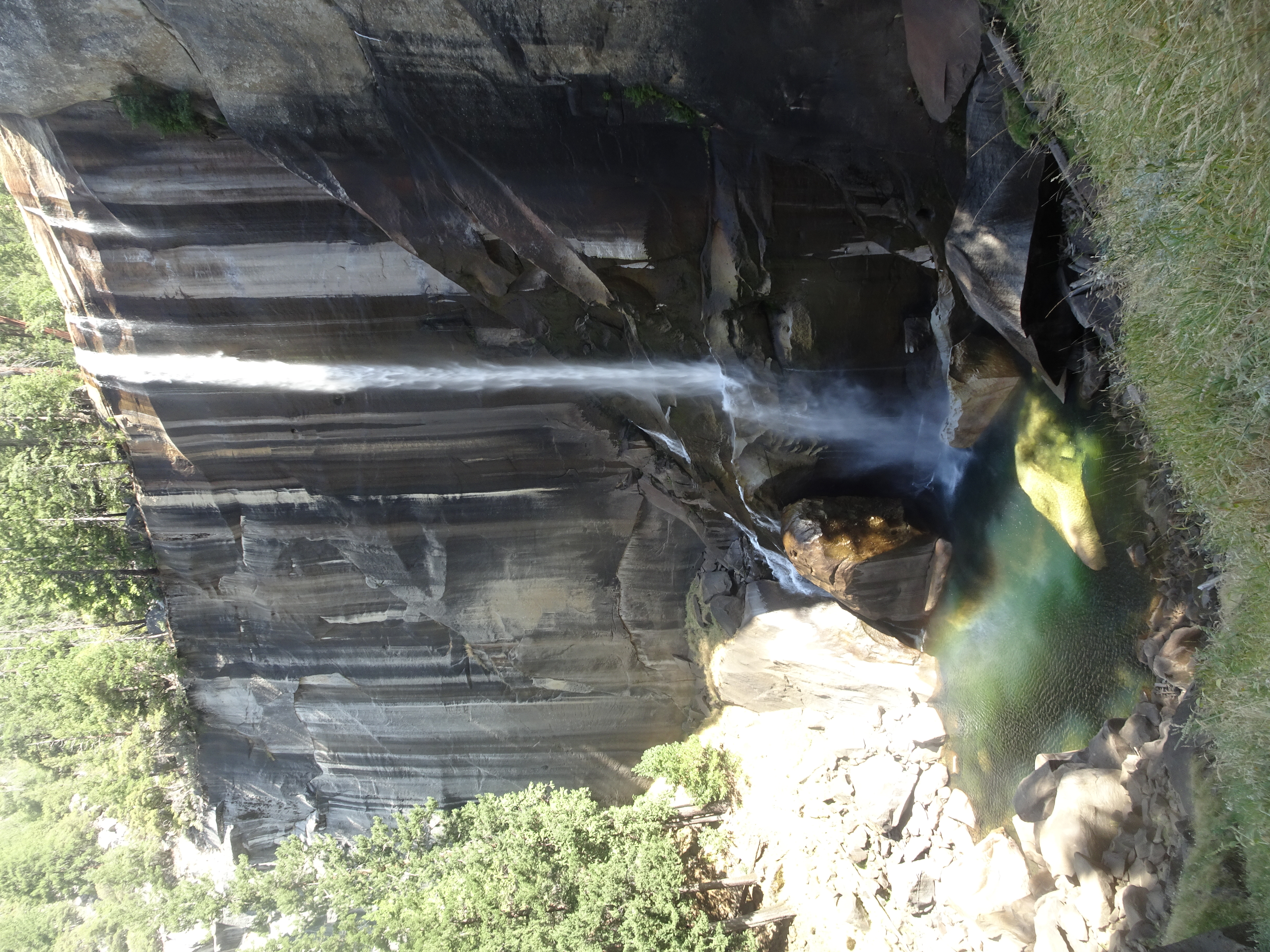
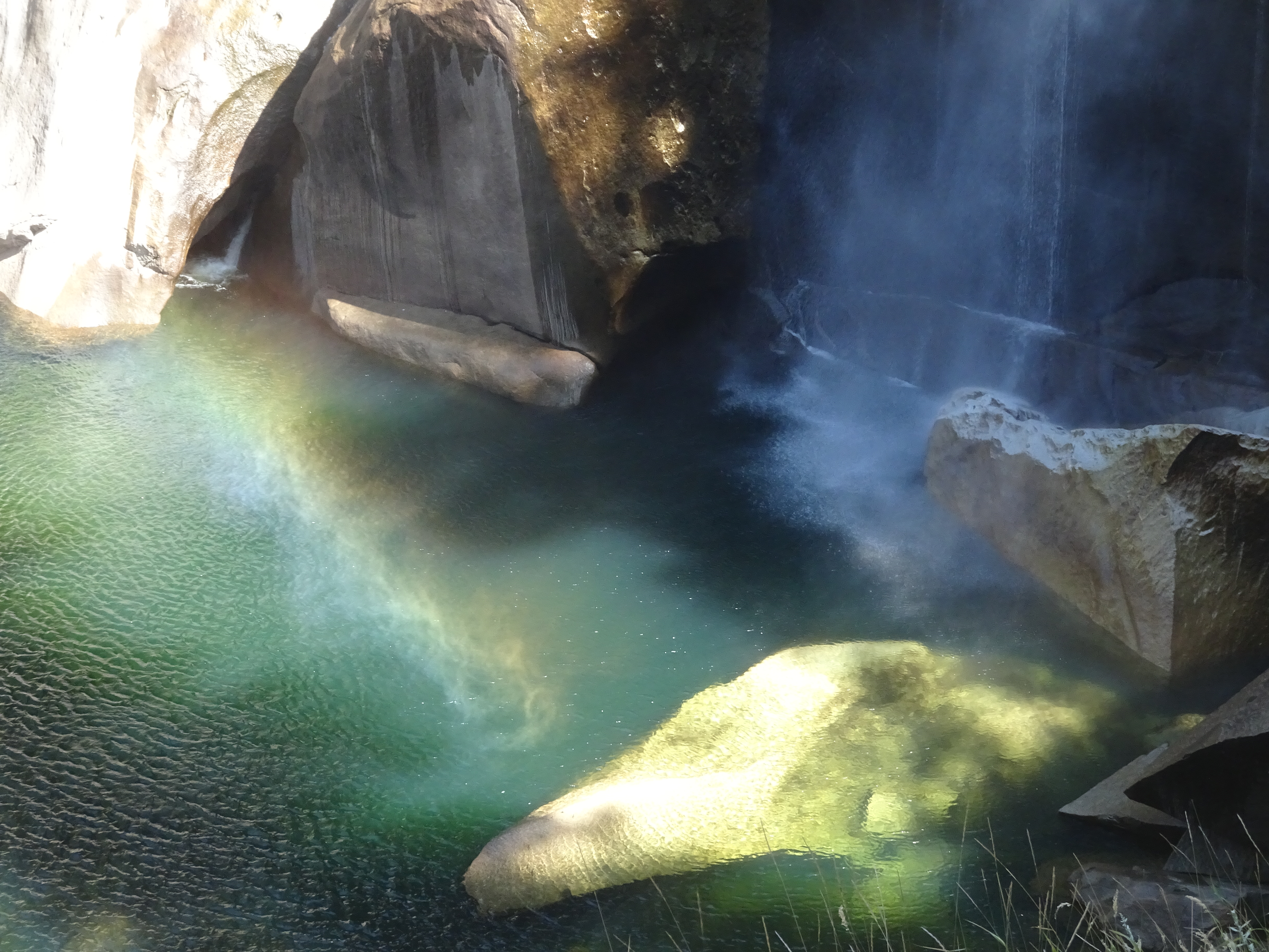
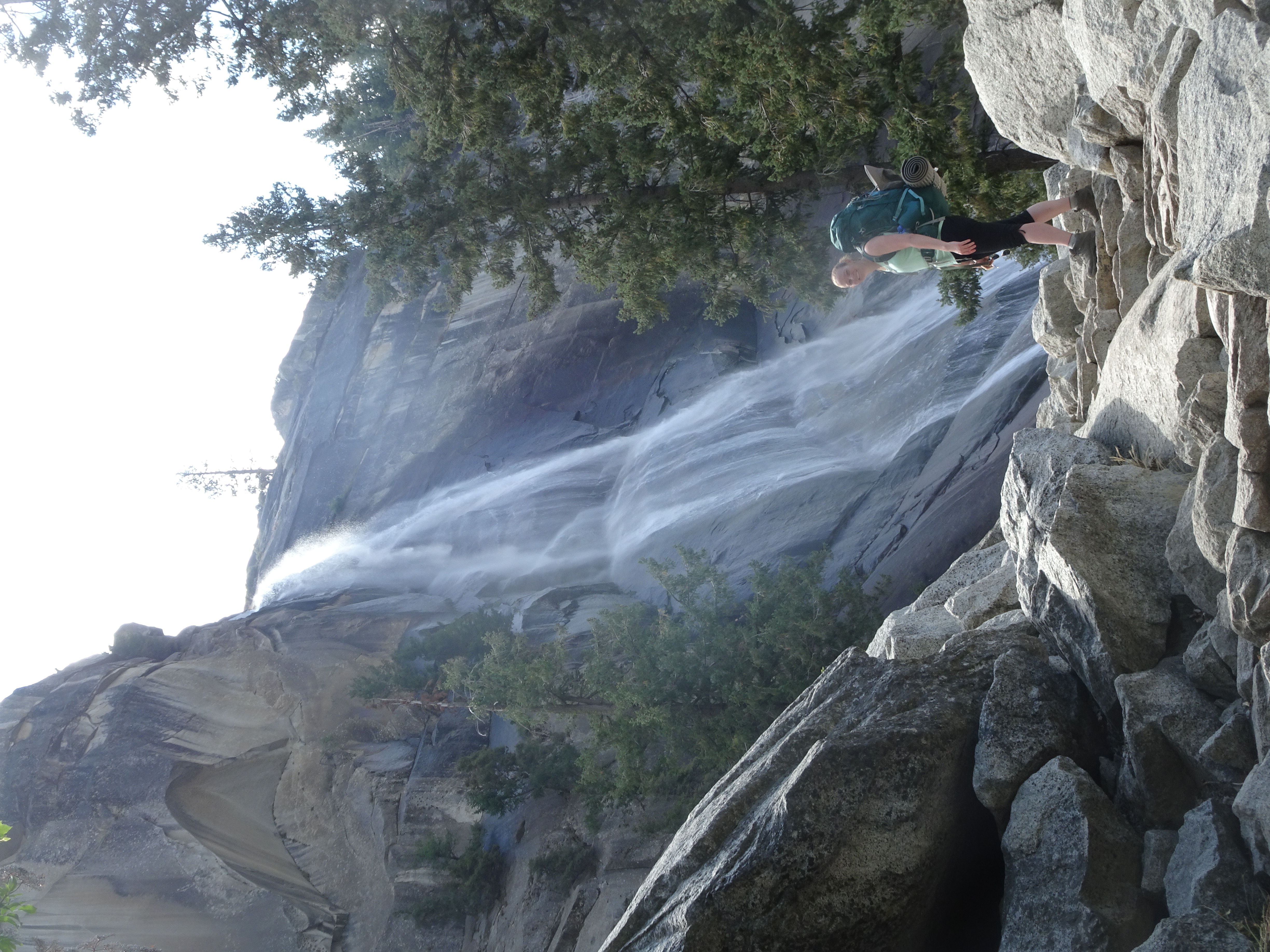
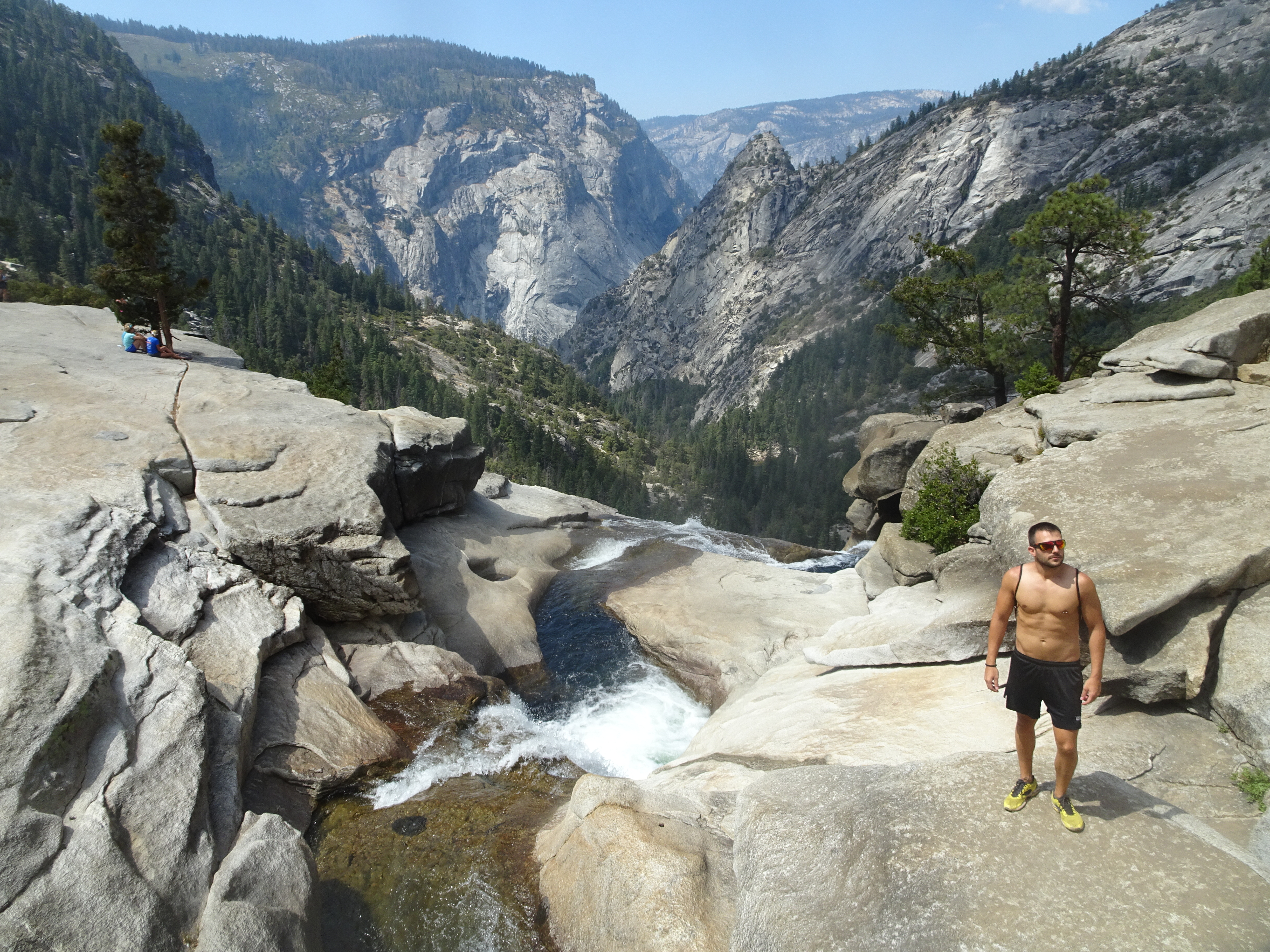
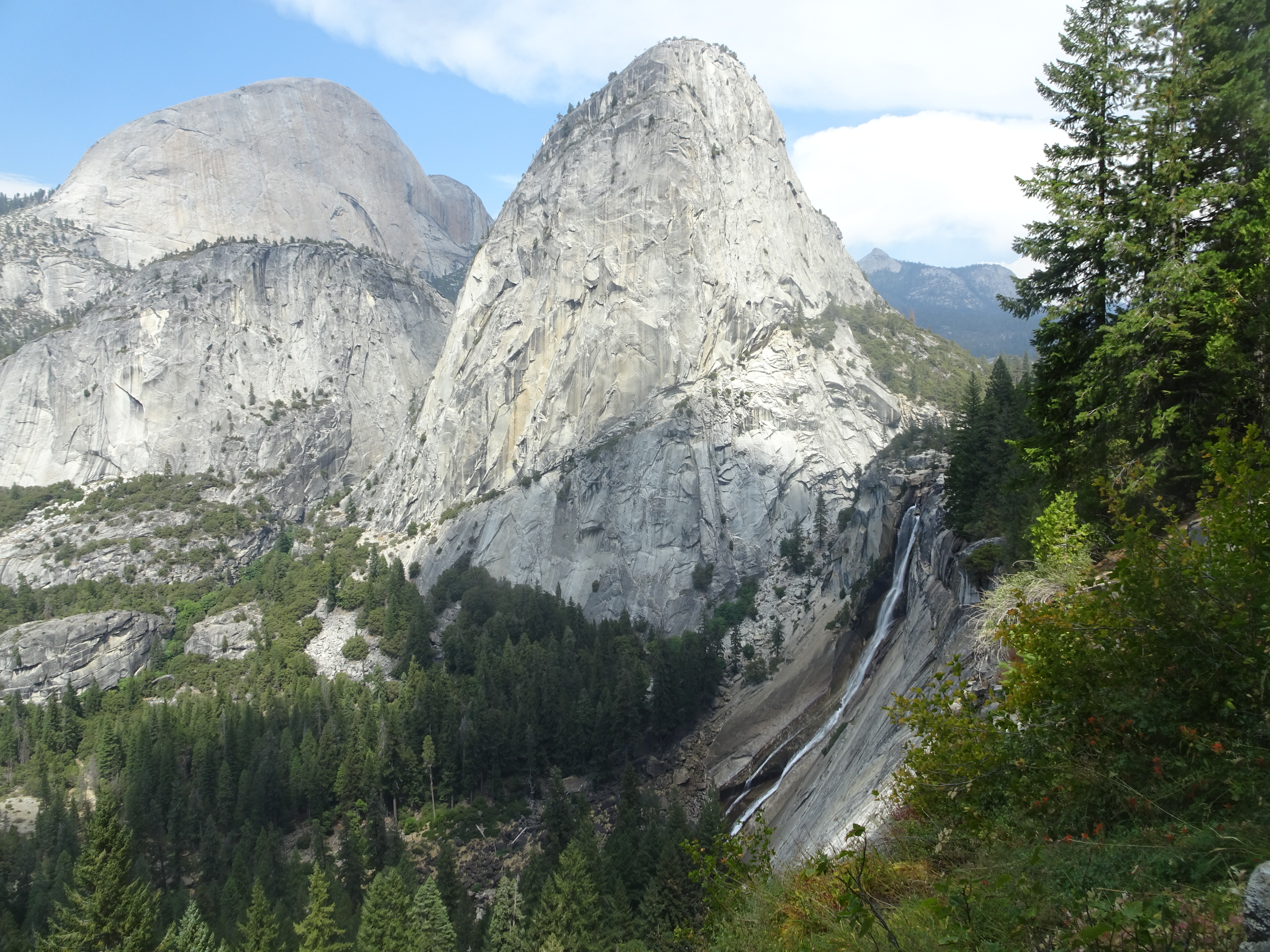
After the buck wandered off, we continued backpacking, first to Happy Isles (the trail head), then up Vernal Falls and then to the top of Nevada Falls, following the Mist Trail. Although there was not much mist, the falls were flowing and we did see rainbows below Vernal Falls.
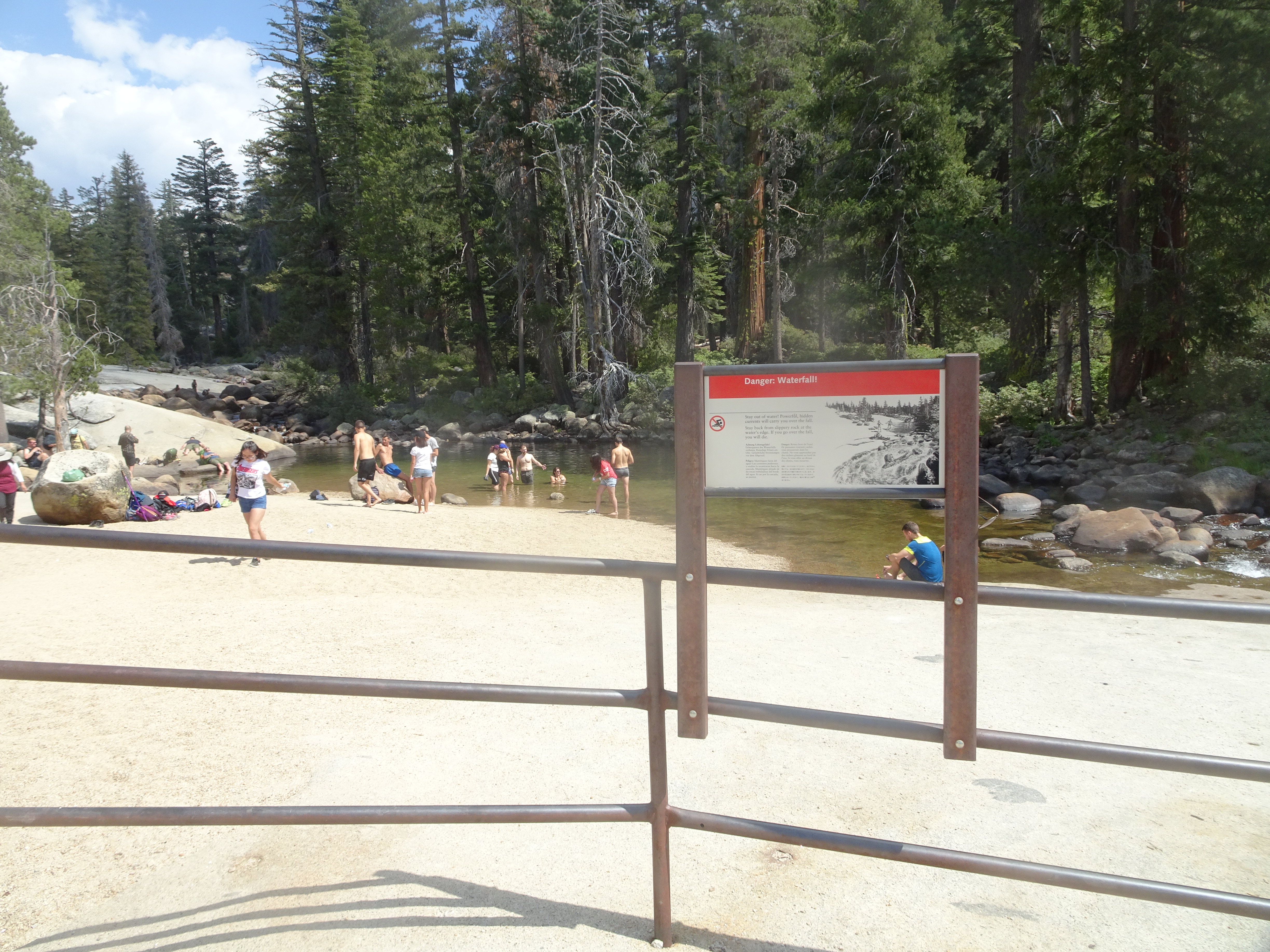
At the top of Nevada Falls we stopped to snack and admire the scenery. As shown after the next 4 photos, we also saw people ignoring the danger signs, which would lead to a young man dying the next day.
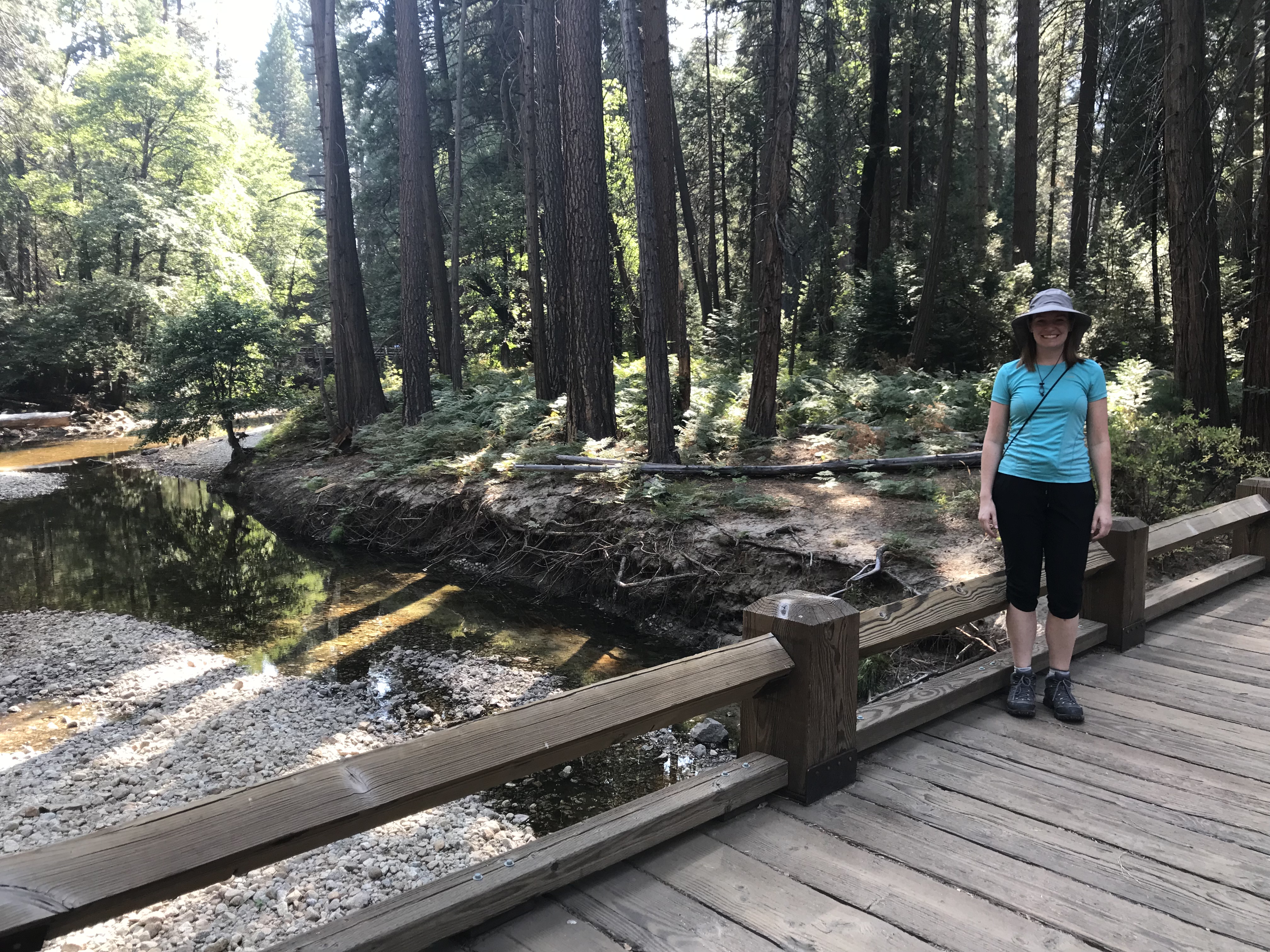
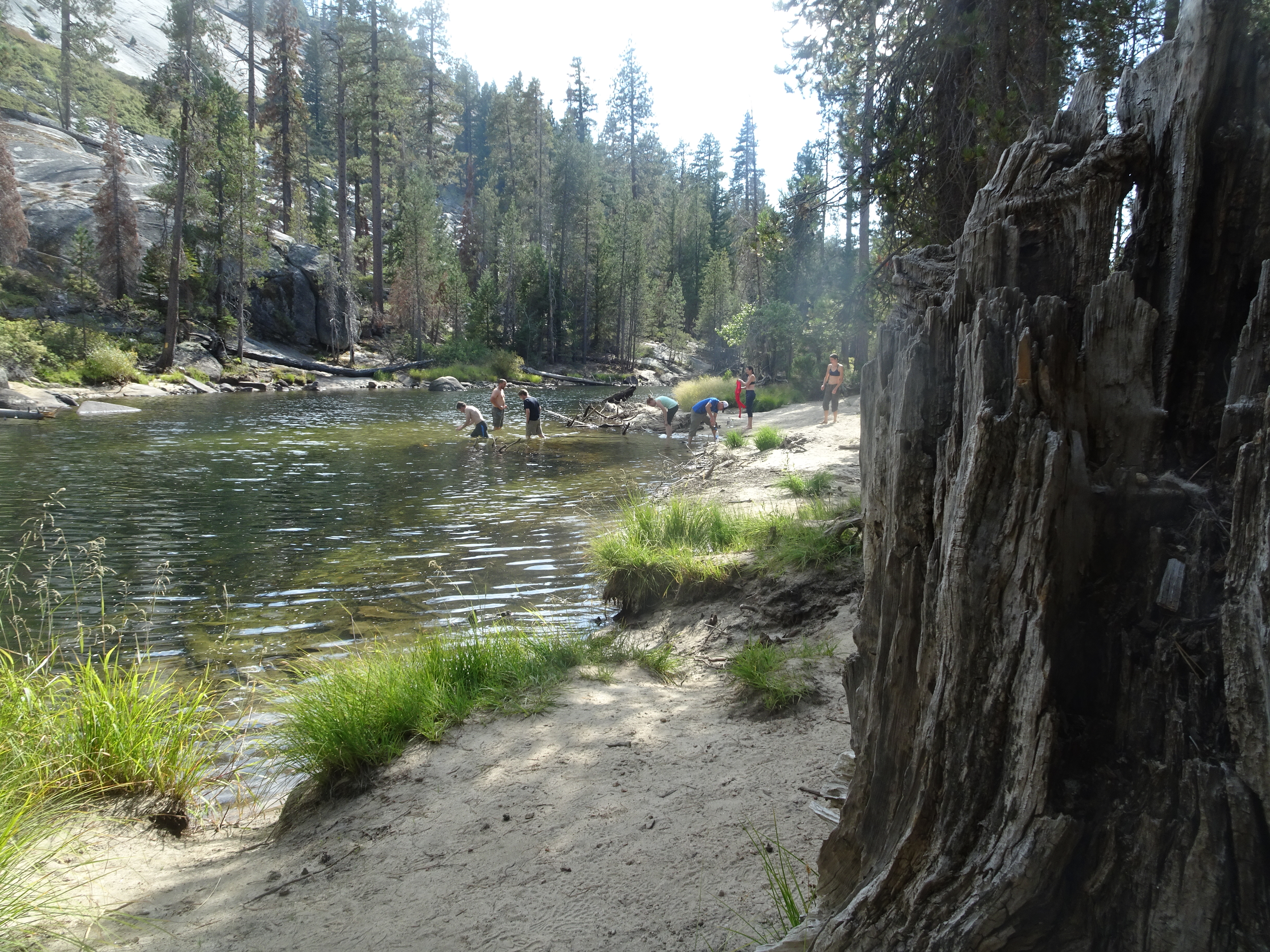
After Nevada Falls we backpacked to Little Yosemite Backpackers Campground, set up our tents (with rainflies) and walked over to Merced River where there were people rinsing off, which Molly did, and swimming. After rinsing off, Molly used the Steripen to purify water for the night. Besides people we also got to see a snake resting on a nearby rock.
When it started to drizzle, we went back to our tents. A ranger stopped by and checked out our permit while we were in our tents.
The rain stopped, we got out of our tents, ate, watched some deer wander around near our tents, then back inside and to bed - both the ranger and someone else with whom we talked had recommended we get a very early start in the morning to avoid possible rain in the afternoon.
Day 4, Tuesday, September 4
Summary: We began hiking at 5 AM, used cables to go up Half Dome, then returned to camp, packed up, backpacked down to the car and drove to Bishop where we stayed in a motel for the night.
Molly on top of Subdome views the cables up Half Dome
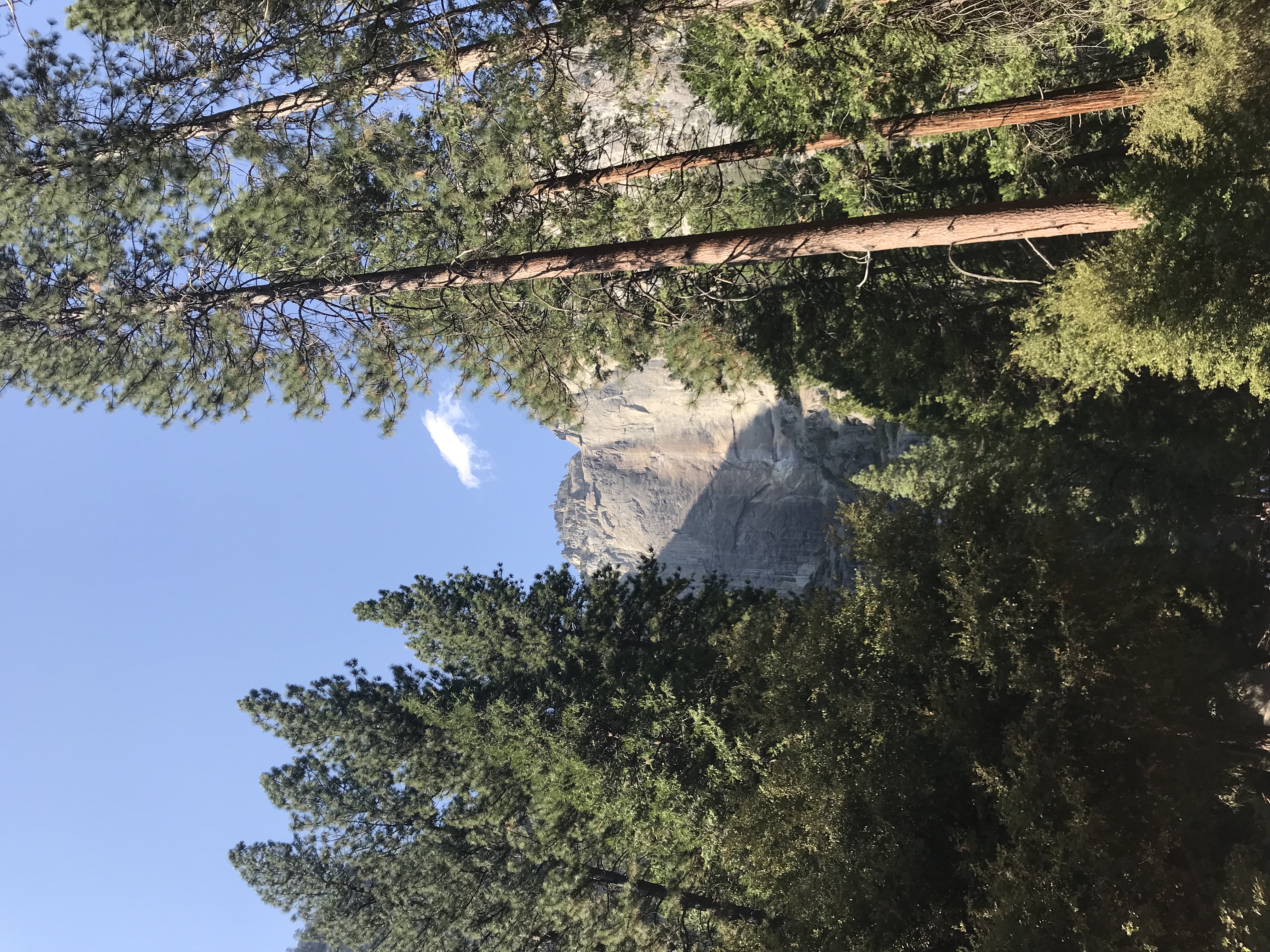
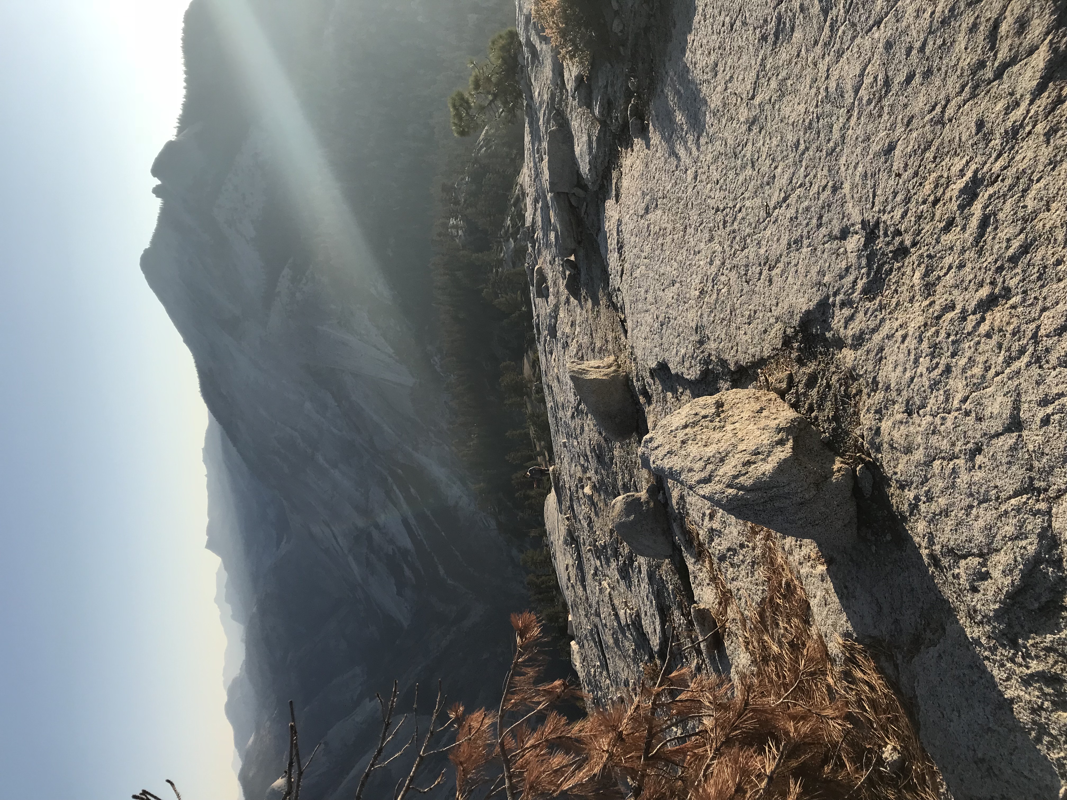
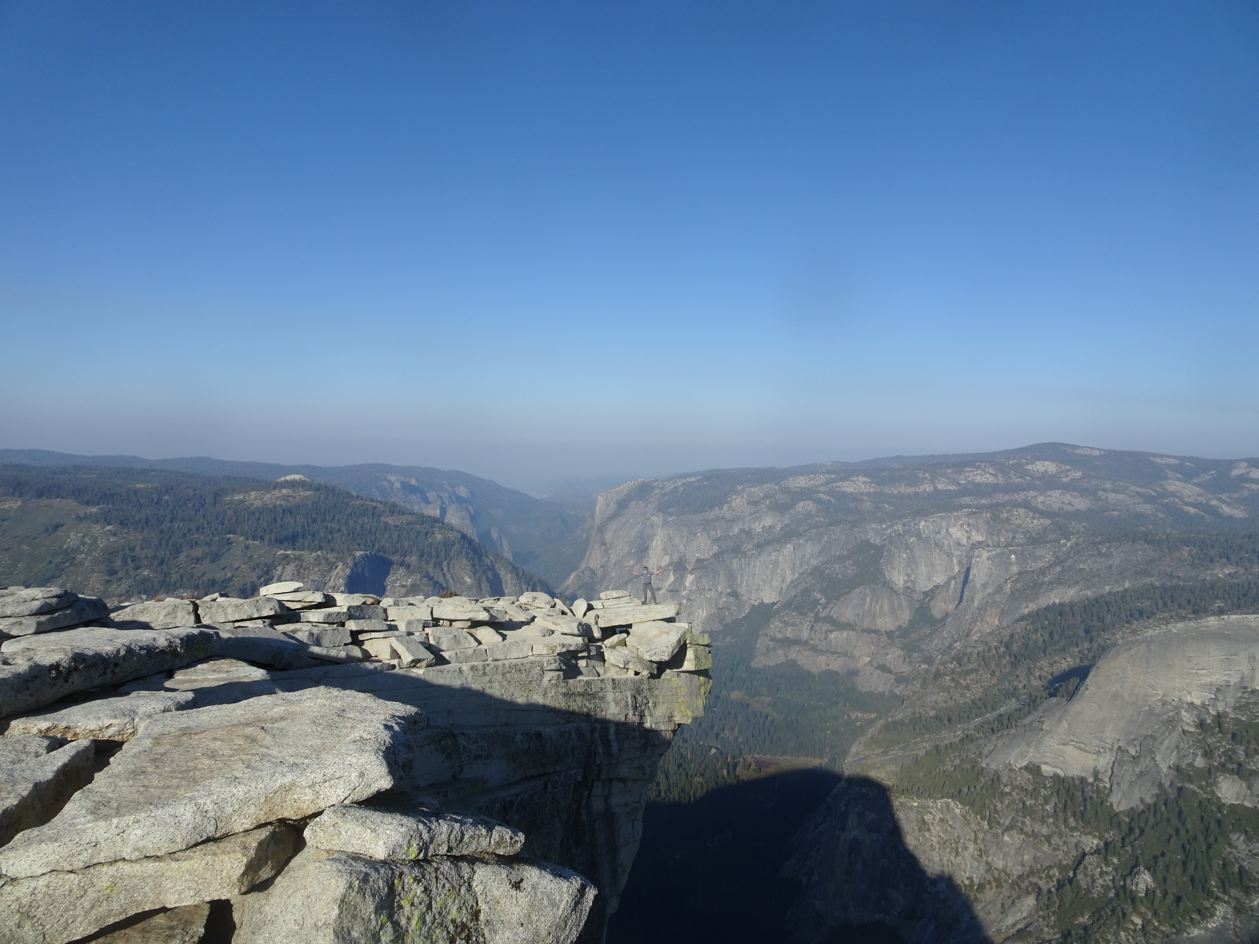
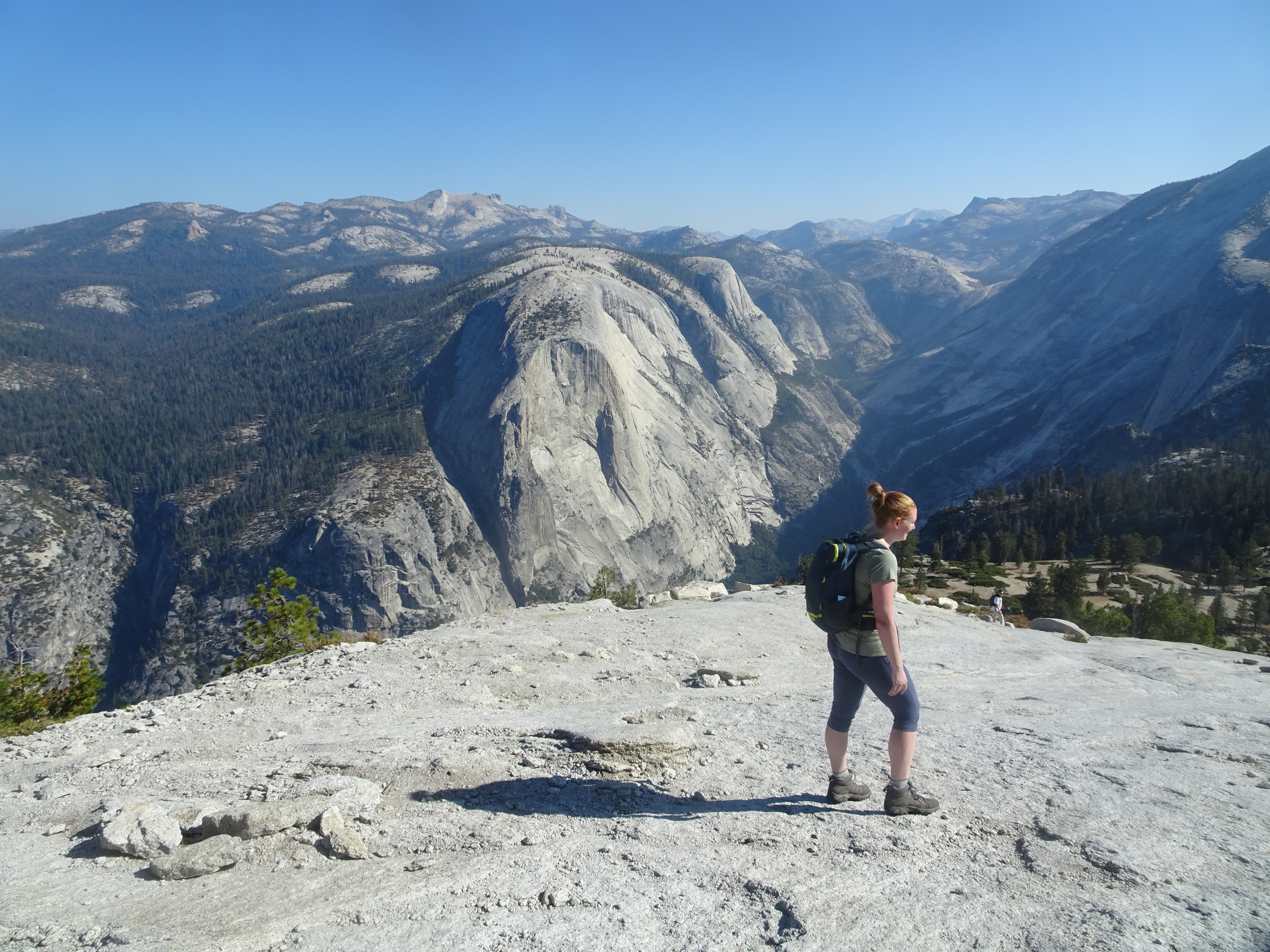
Top of Half Dome view looking towards Yosemite Valley and El Capitan
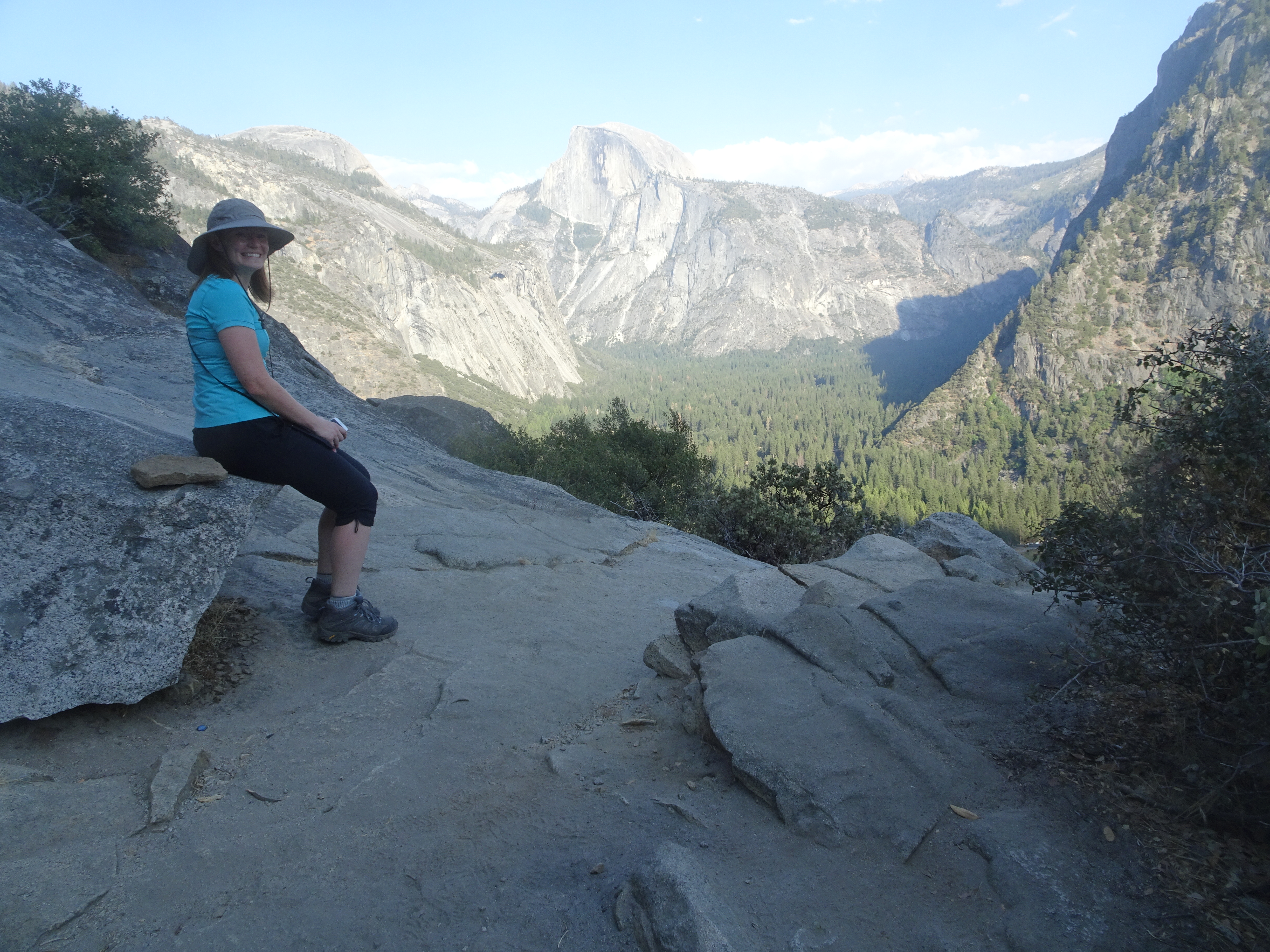
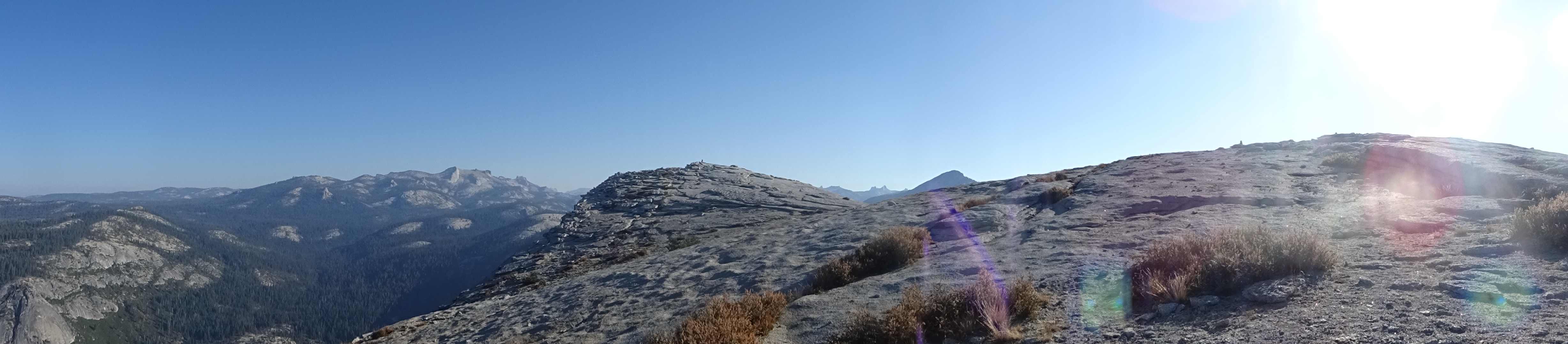
Looking across top of Half Dome towards highest point, with Clouds Rest peak just to the right
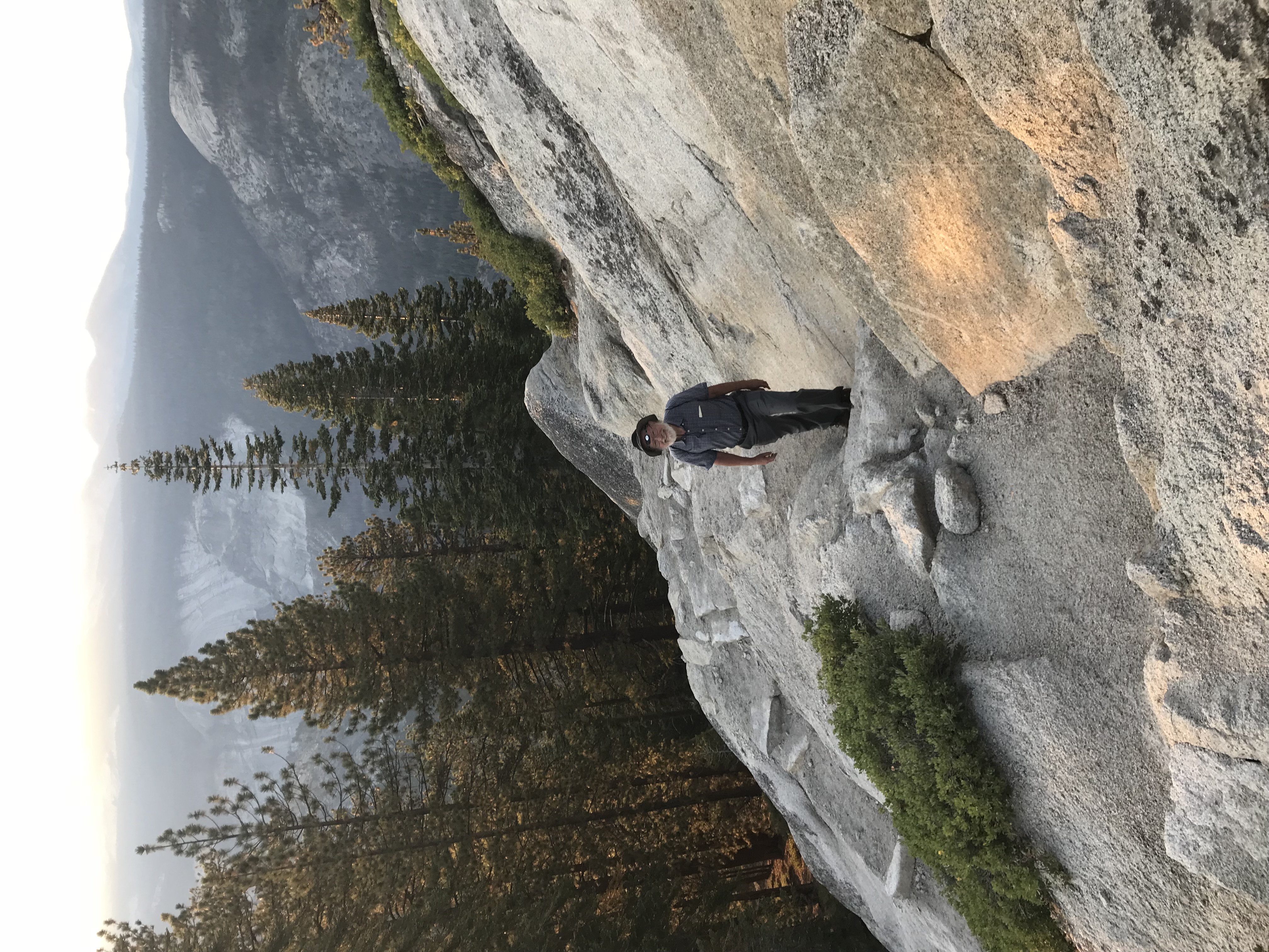
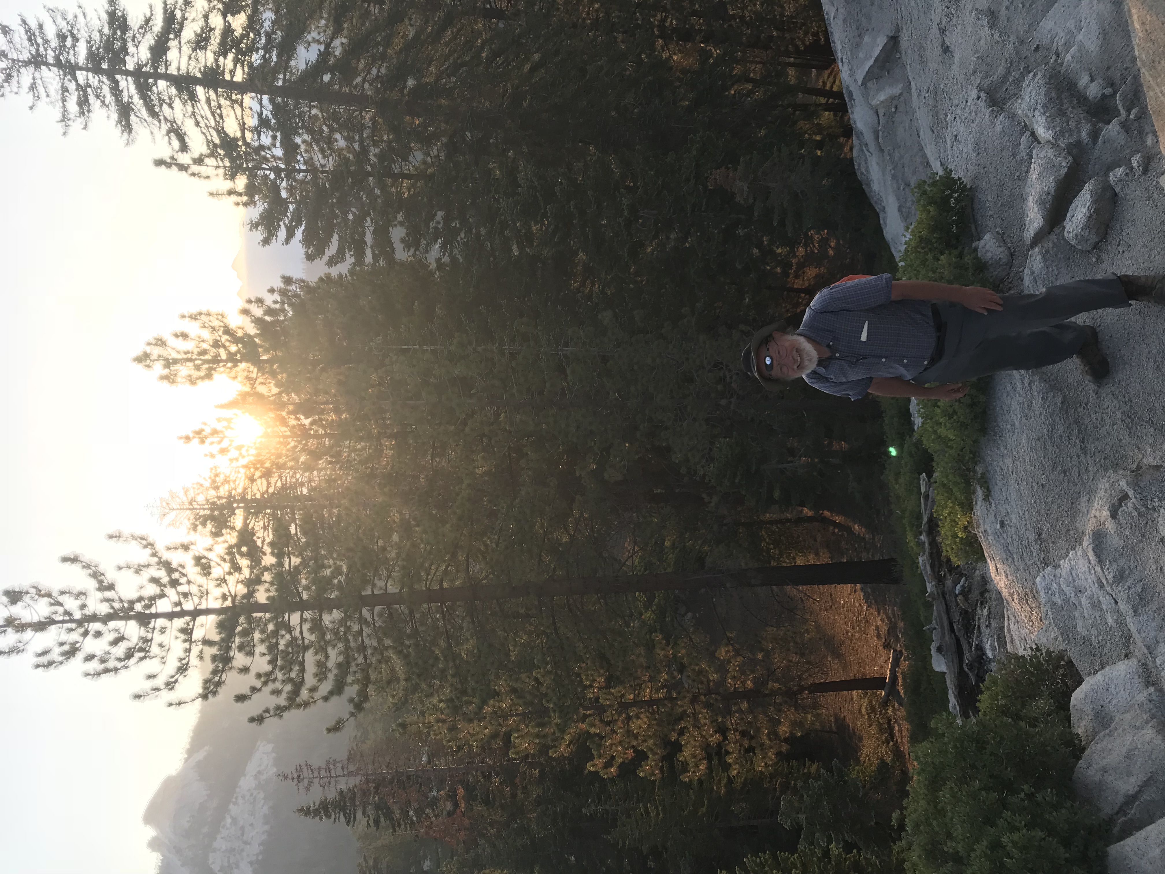
Awoke at 4:30 AM, started hiking towards Half Dome by 5 AM. Beautiful views of stars and galaxy in the night sky, primarily using Molly's Apple iPhone flashlight to light the way as we began climbing towards Half Dome. As we climbed up the trail we saw a wonderful sunrise. We reached the subdome that precedes Half Dome and began climbing up the rock steps that were well defined. There were 3 guys ahead of us.
Then the stairs stopped and there was no marked trail at all on the granite subdome. We saw the other 3 guys at the top of the subdome, so scrambled our own way up the rockface until we reached the top.
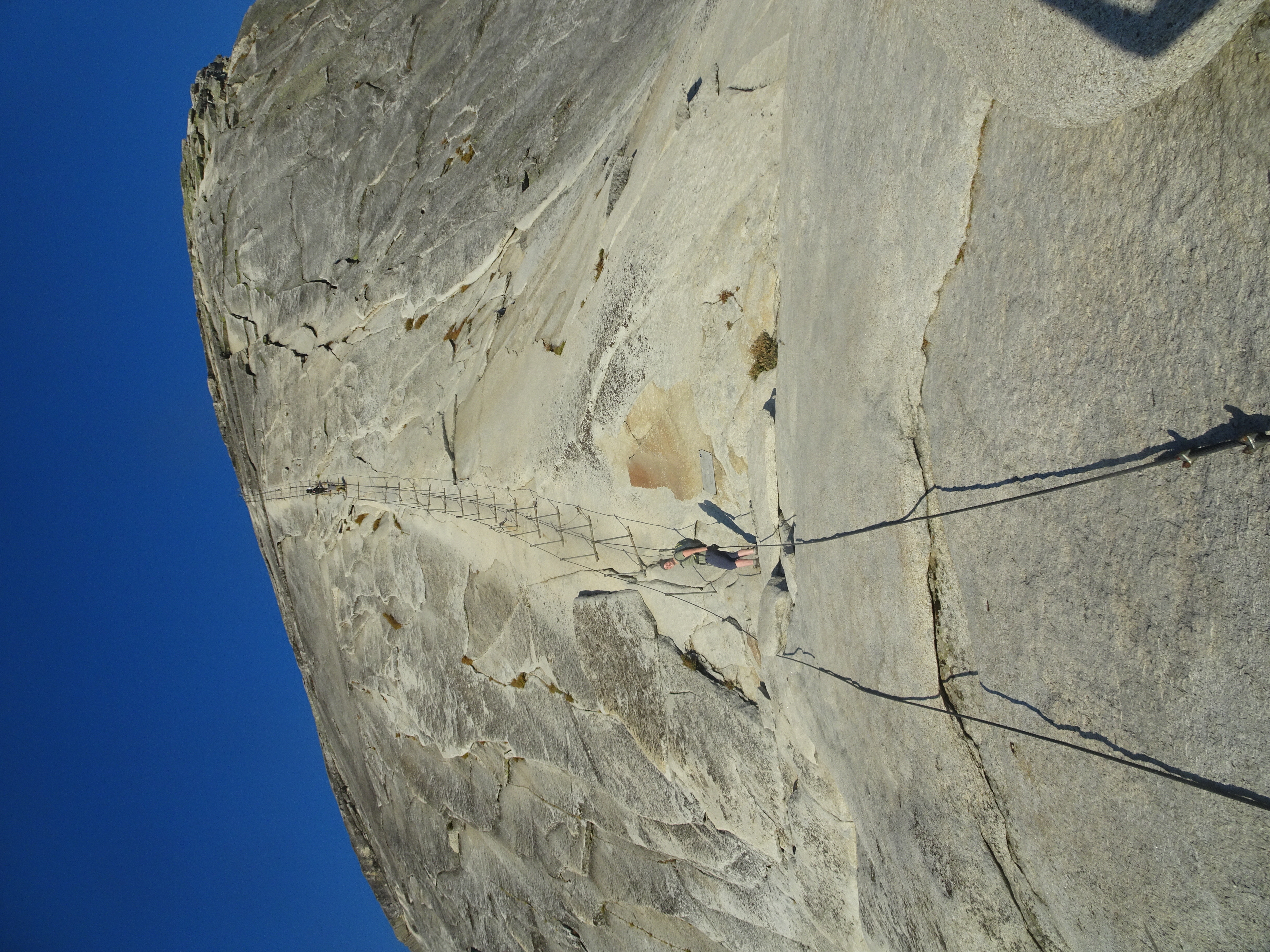
From there we could look the short distance down to where the cables going up Half Dome began. Walked down to the start of the Half Dome cables, donning our gloves. There are two parallel cables going up the dome that are supported by pairs of metal poles anchored in the granite with a wooden slat on the granite connecting each of the metal poles, thus providing a stair every couple of yards.
We start up with Bob staying one "stair" behind Molly as we ascend. As we approach the top the climb is not so steep and there is no longer a need for the wooden stairs. There were few people.
Top of Half Dome!
Bob at the ledge edge
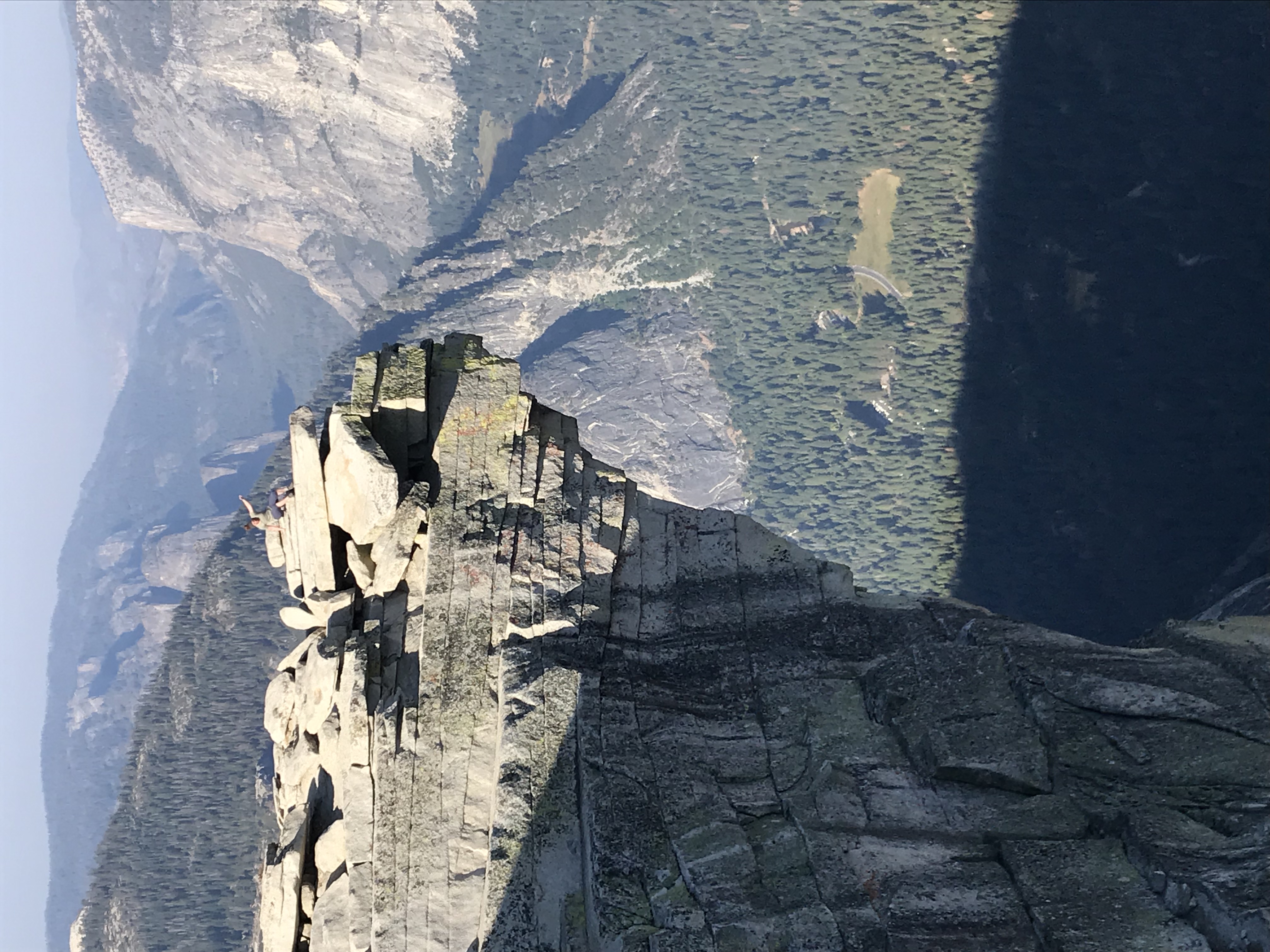
Molly at the ledge edge
Thought a couple of these folks went a bit too far out on the ledge
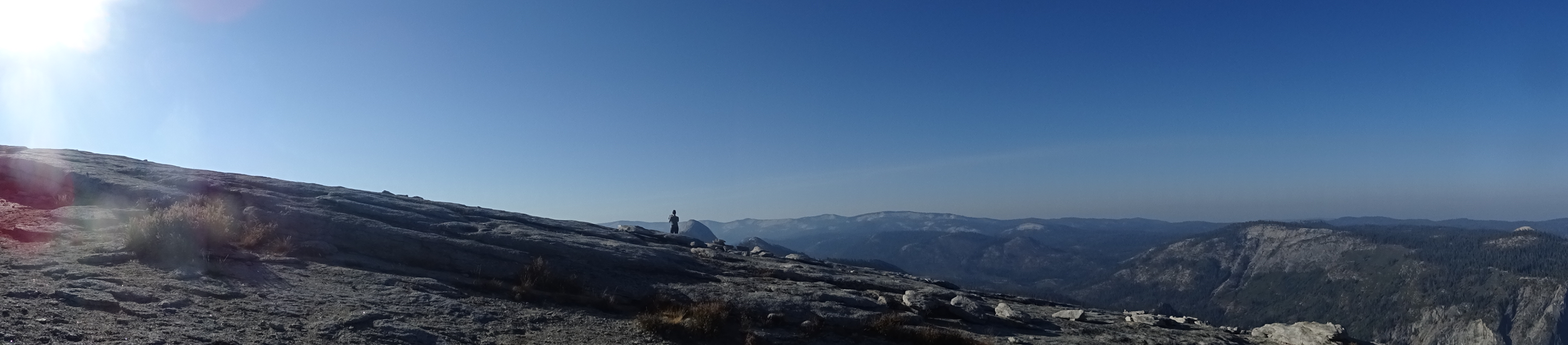
After taking lots of pictures and walking around on the top of Half Dome (I can find no measure of how large the walkable top of Half Dome is - to me it appeared to be acres, much larger than I expected), we started back down the cables.
We had been advised by others that the easiest way down the cables was to go backwards, which we did and which was quite easy. More people were now coming up and down, so from time to time we stood sideways, hugging one cable tightly to let others by. Bob preceded Molly.
At the bottom of the cables we spoke with a woman who did not have gloves and asked for Bob's. At Shirley's advice, Bob had found a cheap (about $7.00) pair at Friedman's Home Improvement in Santa Rosa, so Bob handed the gloves over.
Molly poses at Bob's request for final cable photo
"No path" part of Subdome descent
Clouds Rest is background peak
We hiked back to Little Yosemite Valley, packed up our tents (and adjusted a rainfly on our neighbors' tent which had fallen off), then began backpacking down to the car.
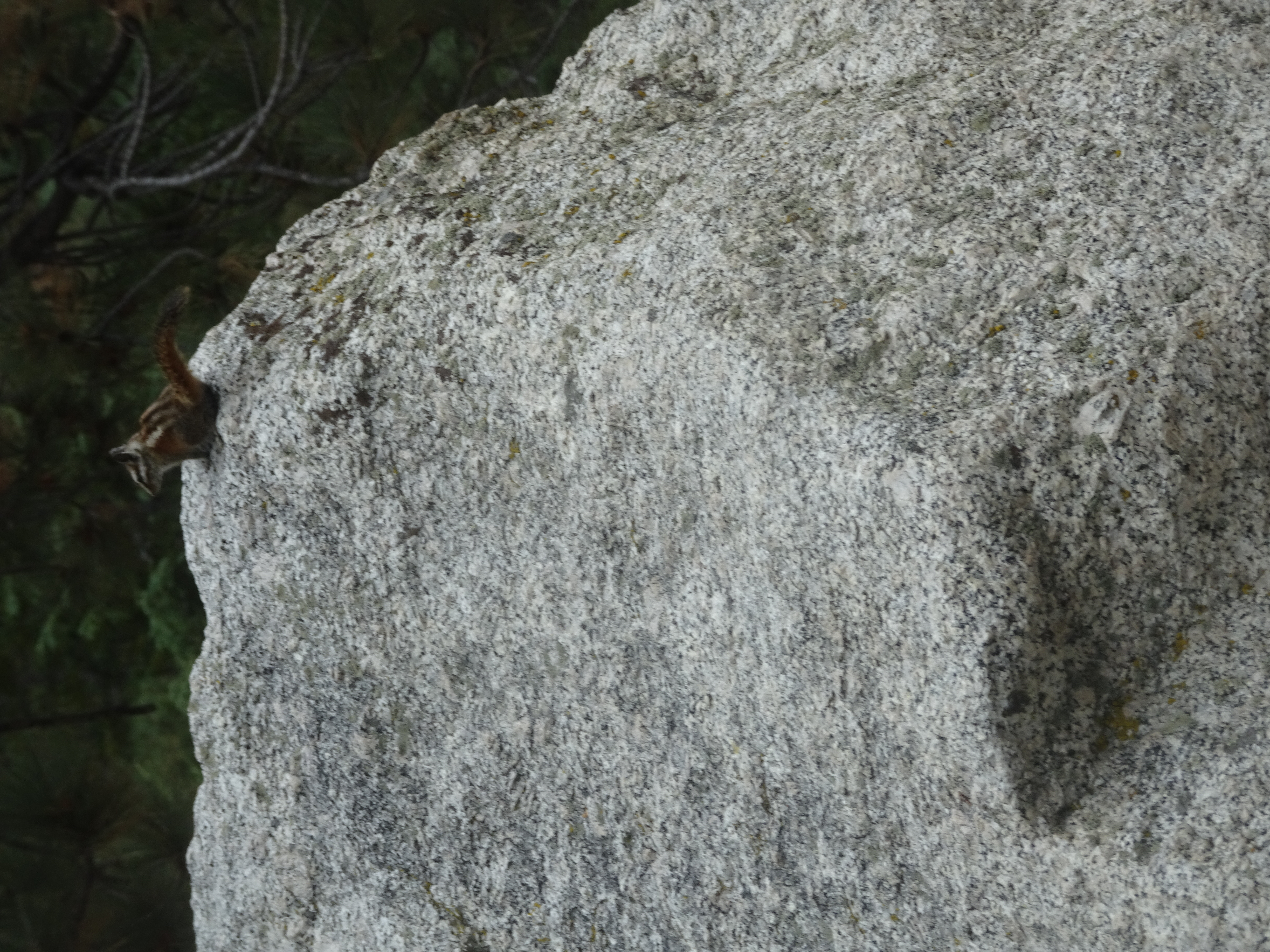
Soon after we started backpacking we saw a large mammal walking towards us on the trail which at first glance we wondered if it were a cougar. It became quicly apparent that it was a large bobcat which was very unconcerned about humans. It stepped off the trail, walked a bit past us, then got up on a log facing the trail to look at us, less than 10 feet away. The bobcat was quite calm and simply looked at us quietly as we took photos (Bob took what he thought was a lengthy video and found out later had pressed the wrong camera button and had no video). Another couple also stopped and were worried about how dangerous the bobcat was.
On the log next to us - click on picture to get full size and resolution
We left the bobcat on his log and continued backpacking down to the top of Nevada Falls, where Bob heard a lady say "I just heard the scream, but did not see anything." Later, as we descended the John Muir Trail we met a ranger coming up who would not confirm someone falling off the Nevada Falls Cliff, telling us to check with the ranger station in the Valley. The next day we got confirmation that an 18 year old Israeli visitor stood in a dangerous place, was taking a selfie, and fell off the Nevada Falls cliff over 800' to his death. (Here is the text of an article in The Sacramento Bee describing the incident.)
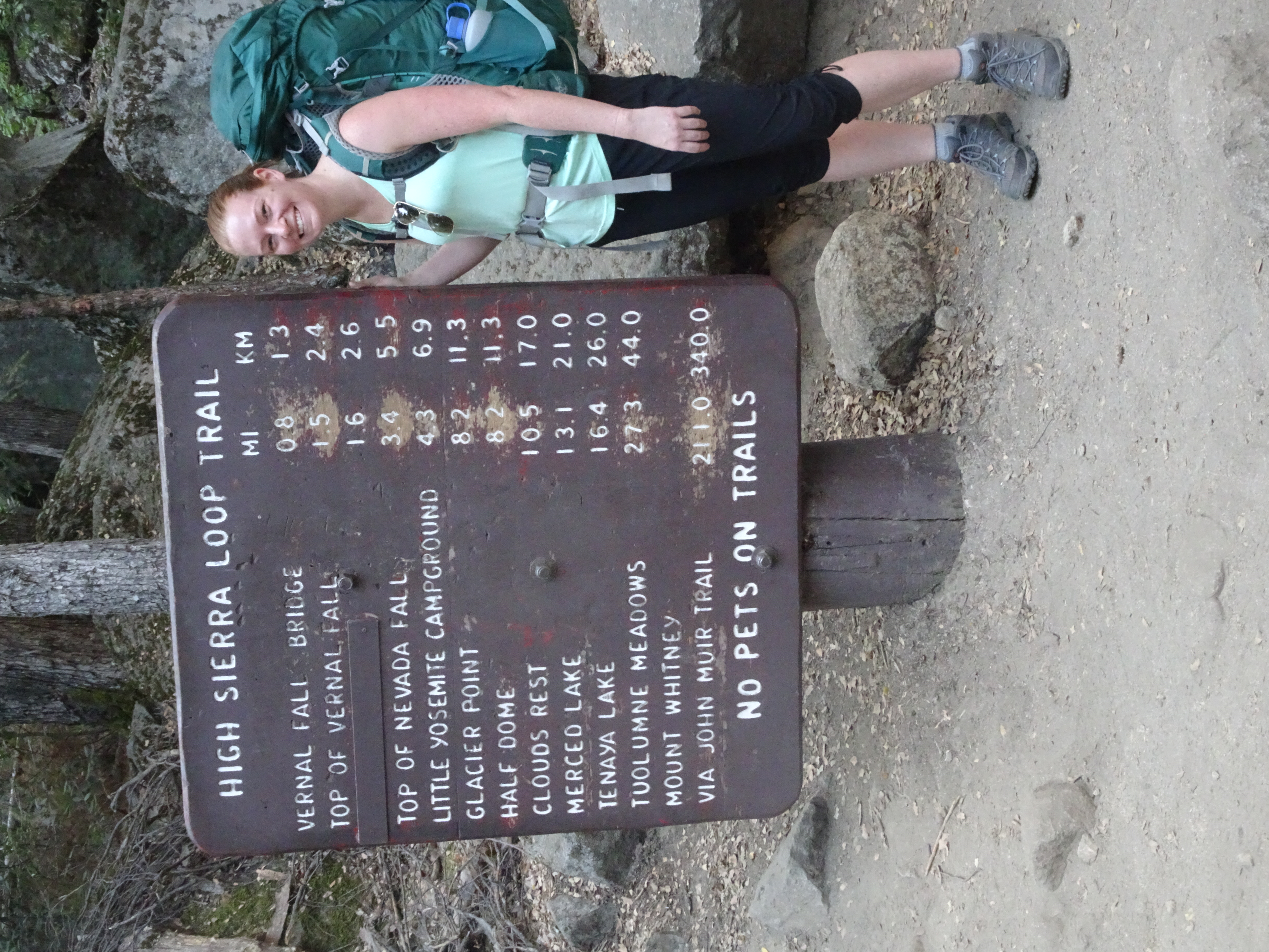
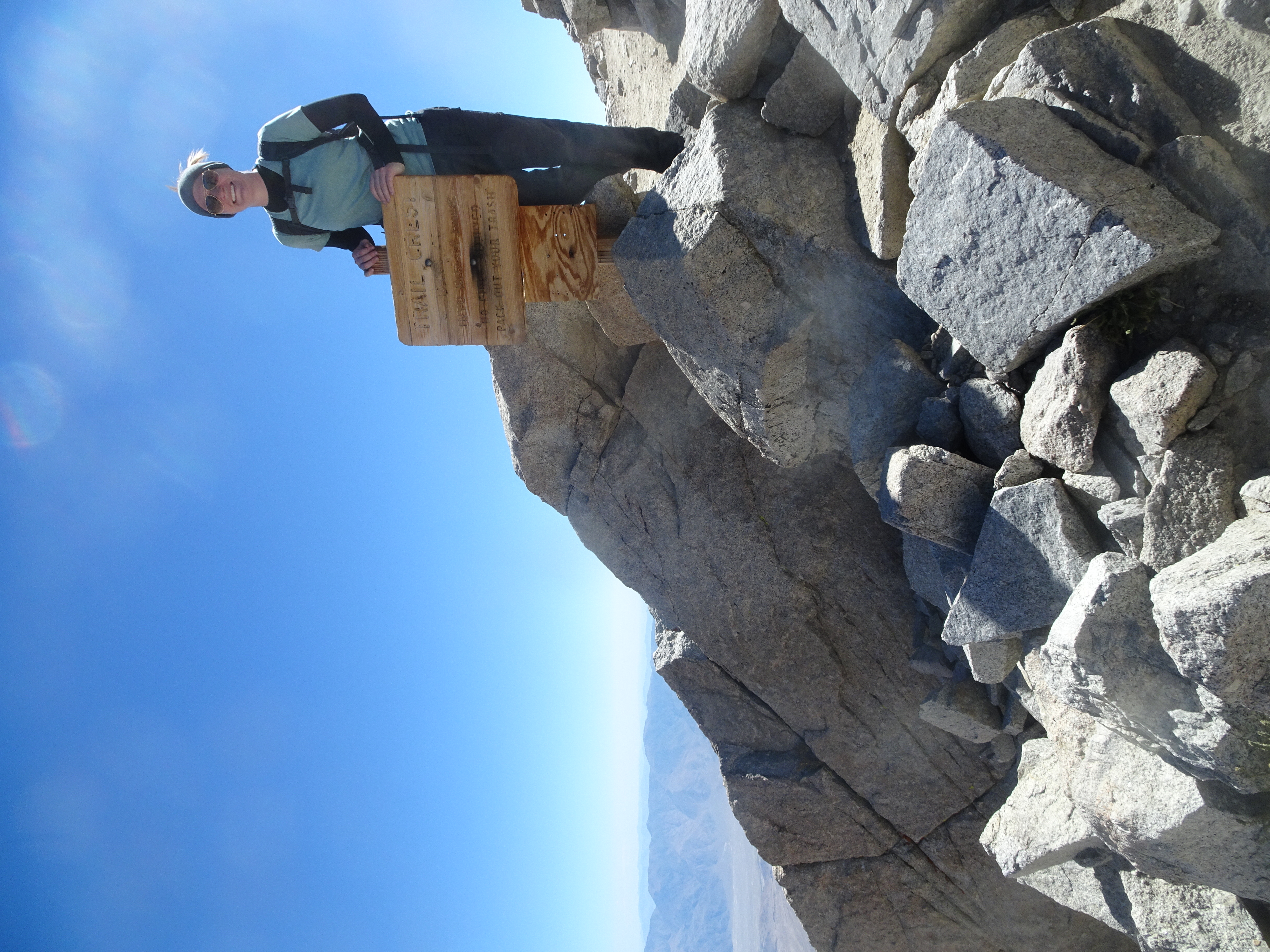
The weather was pleasant as we hiked down, with occasional drizzle of very large raindrops. We had come up the Mist Trail and were now coming back down the John Muir Trail, which gives different views of the falls (Vernal and Nevada) and is longer and gentler, ending up at the same Happy Isles trail head. Our next destination Mount Whitney, 211 miles by trail as the sign says. We would drive, however.
Got to car and drove out with a brief stop at Half Dome Village to ask about our flashlight, which was not there. Then drove to Bishop.
On the way we were hoping to stop in Tuolumne Meadows, but there was hail, thunder and rain, so we went straight to Bishop, where Molly had reserved a room at Comfort Suites.
Showers! Food!
Day 5, Wednesday, September 5
Summary: Drove from Bishop to Lone Pine, got our permits, then drove to Whitney Portal campground, set up our tents and day hiked to Lone Pine Lake and back.
We ate breakfast at Comfort Inn, checked the oil in the car (my 1989 Toyota Camry loses lots of oil - this would be the last time I used it on such an adventure), then drove to Lone Pine, stopping once for gas (and to pick up a Lottery Ticket).
In Lone Pine we stopped at the ranger office and picked up our Whitney Permit and WAG bag (packing down one's exrement is a requirement). The ranger told us that marshmallows were good constipators, something neither of us had known.
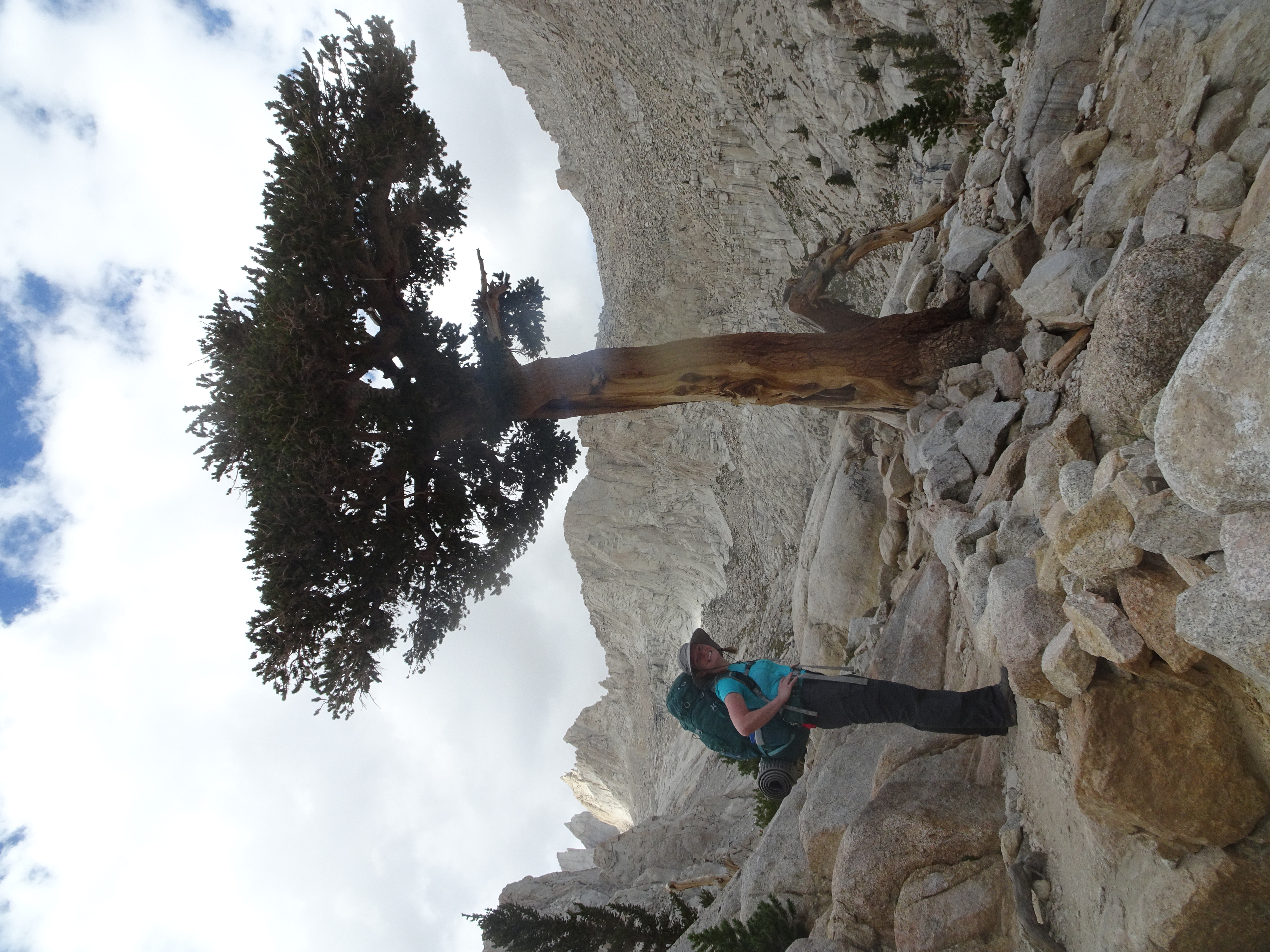
We then drove up to the Whitney Portal Backpackers Campground, which is across the street from the trail head, and set up our tents. (Bob had made reservations at a campground further away). See video here
Outside ranger station
Campsite
We then did a hike up to Lone Pine Lake (12:20 pm - 2:30 pm) and back (3 pm - 4:30 pm).
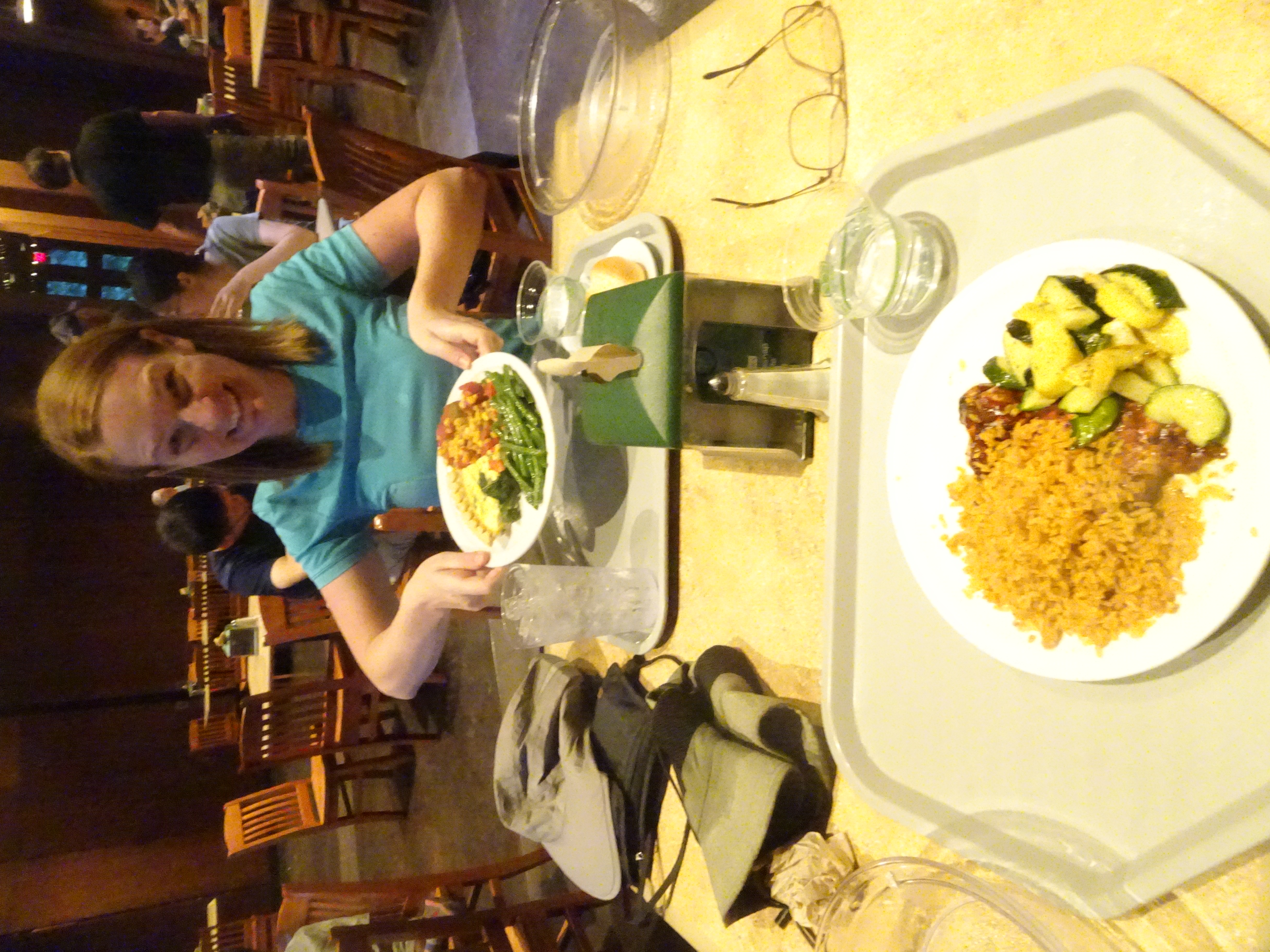
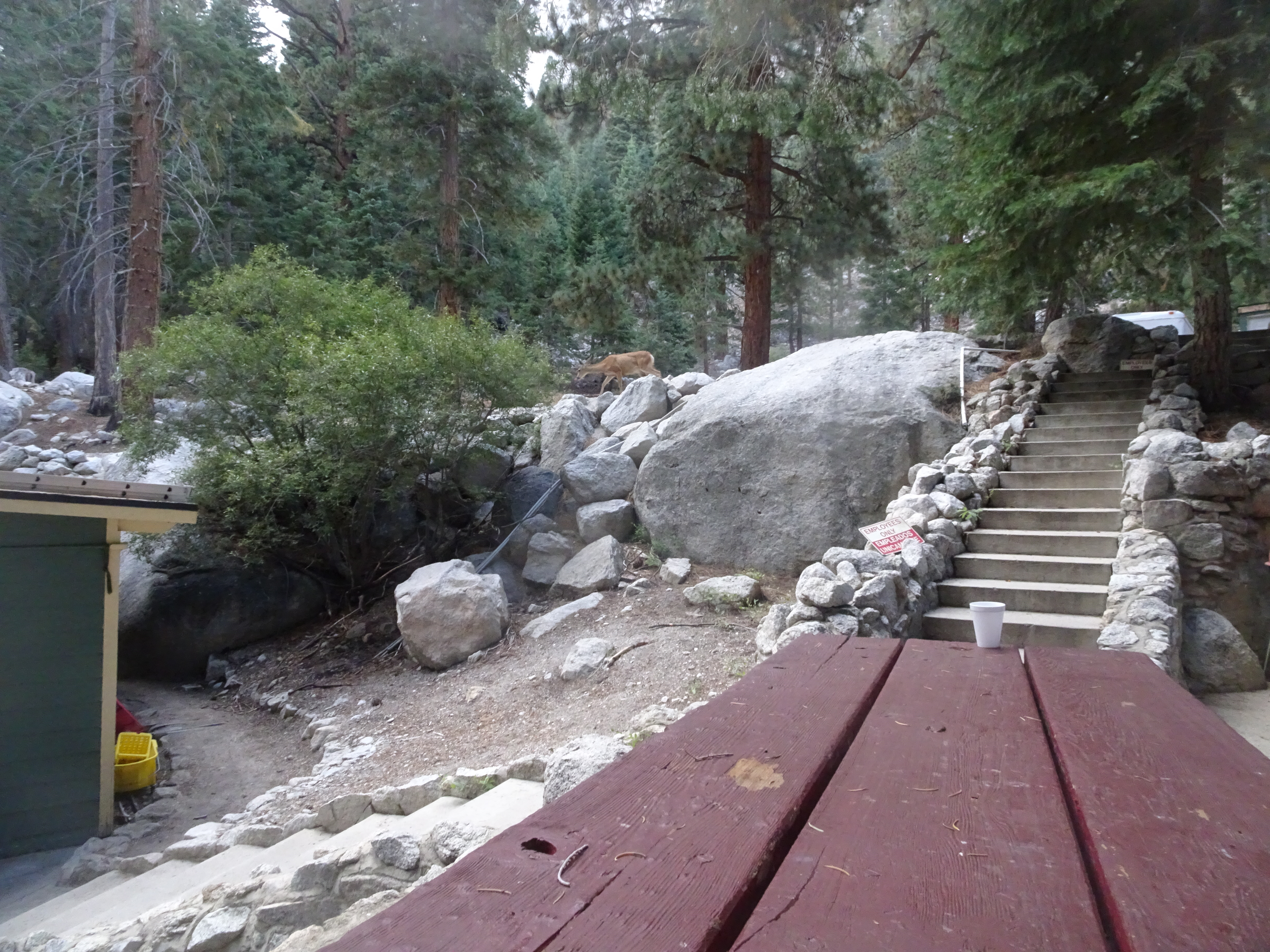
Ate veggie burgers and fries as deer, jays, and chipmunks watched.
Day 6, Thursday, September 6
Summary: Backpacked up to Trail Camp, day hiked part way up to Trail Crest, then returned to Trail Camp.
For breakfast ate part of a huge pancake, leaving the rest for two other guys.
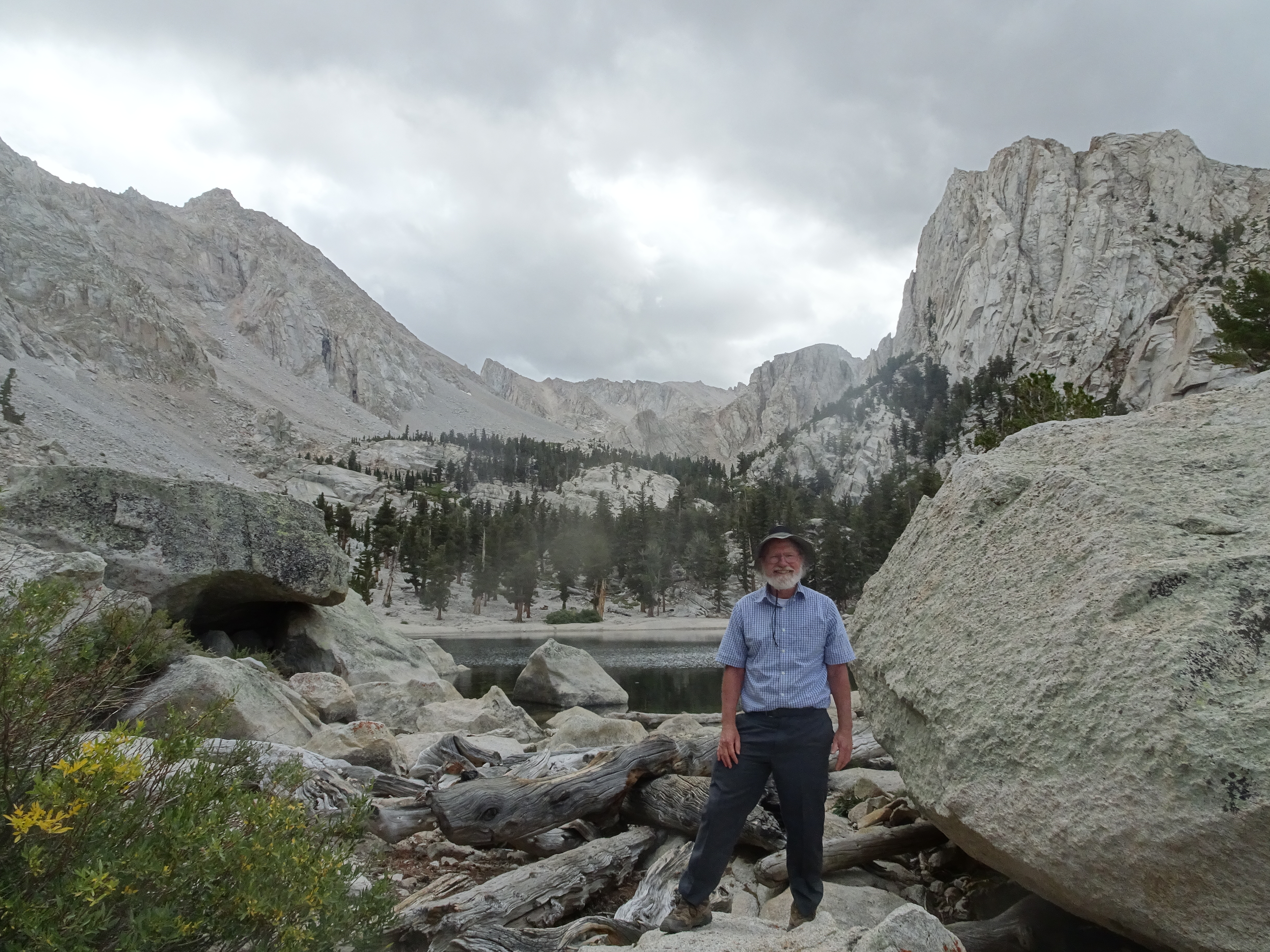
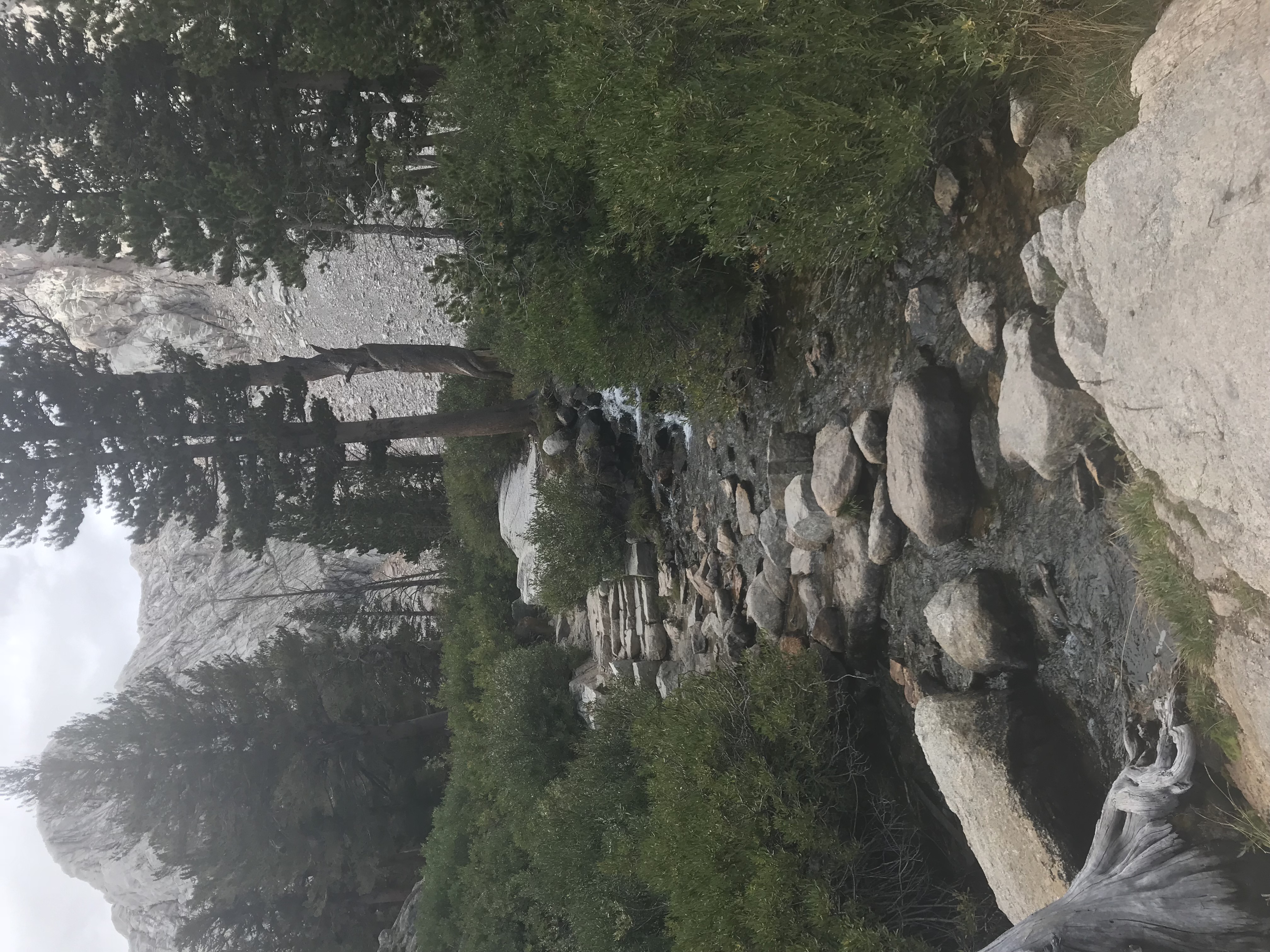
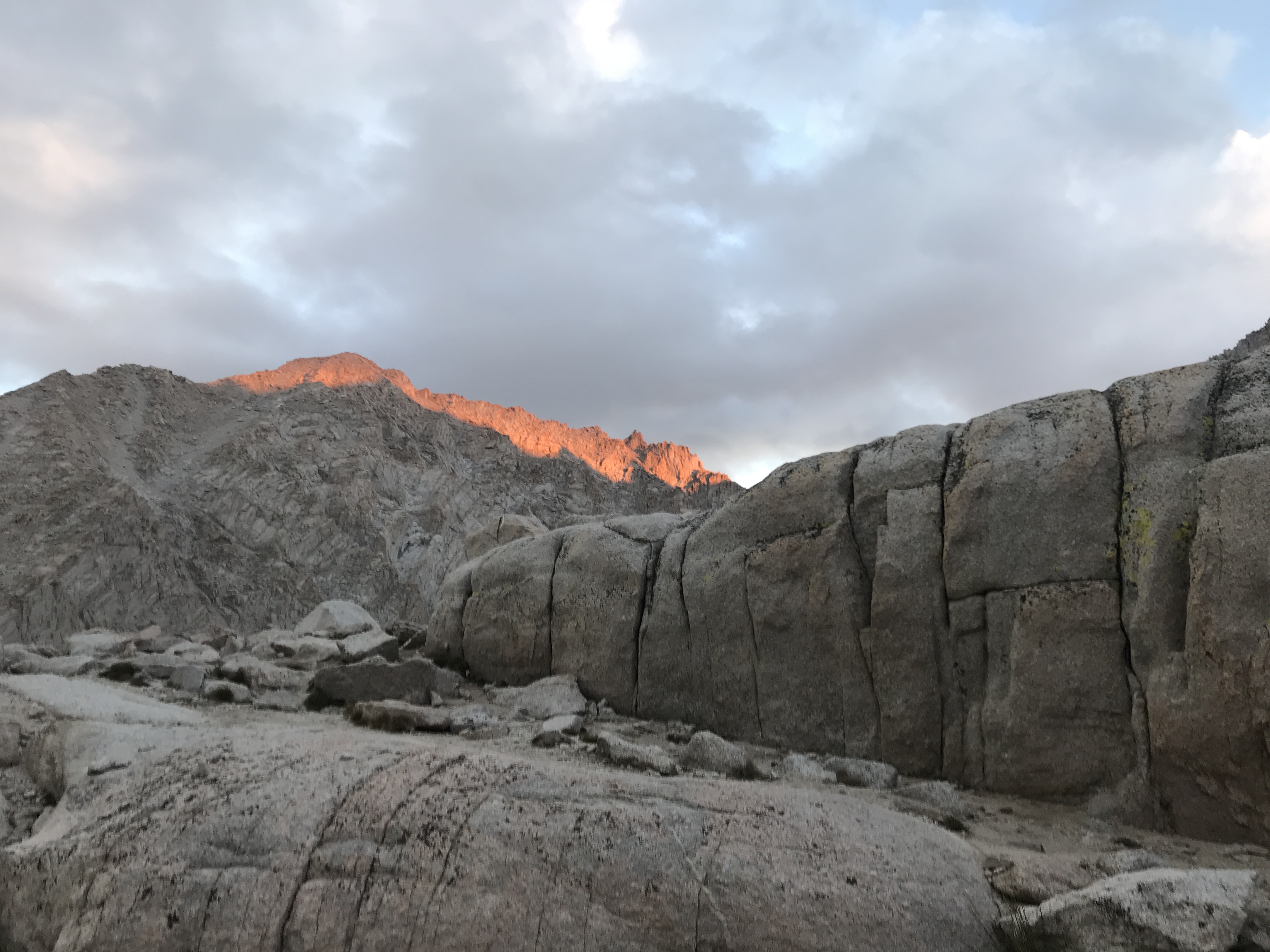
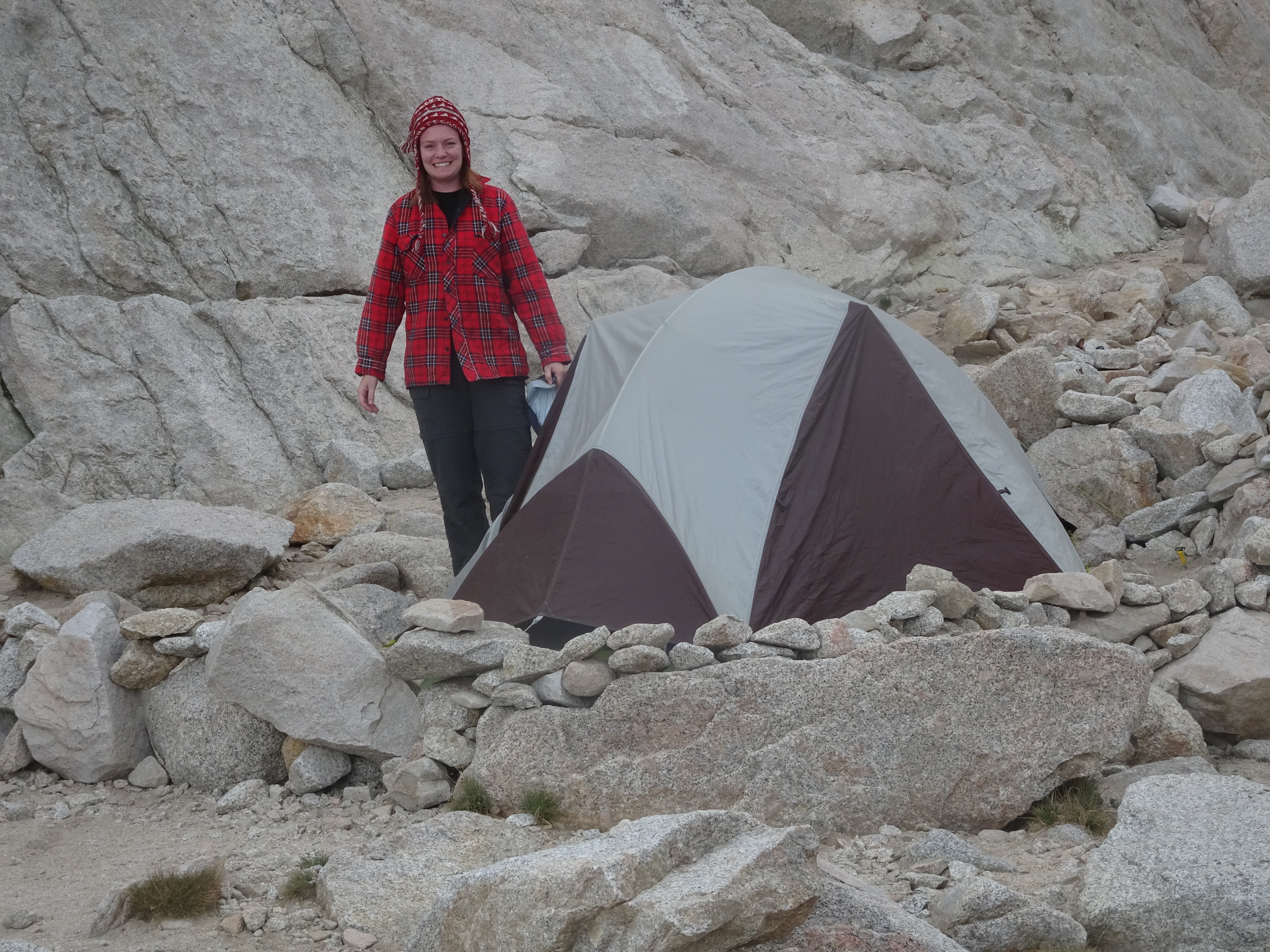
Took down our campsite, then backpacked past Lone Pine Lake, Meadows (Outpost camp), and Mirror Lake to Trail Camp, where we found 2 good tent sites around 2 pm and set up our tents.
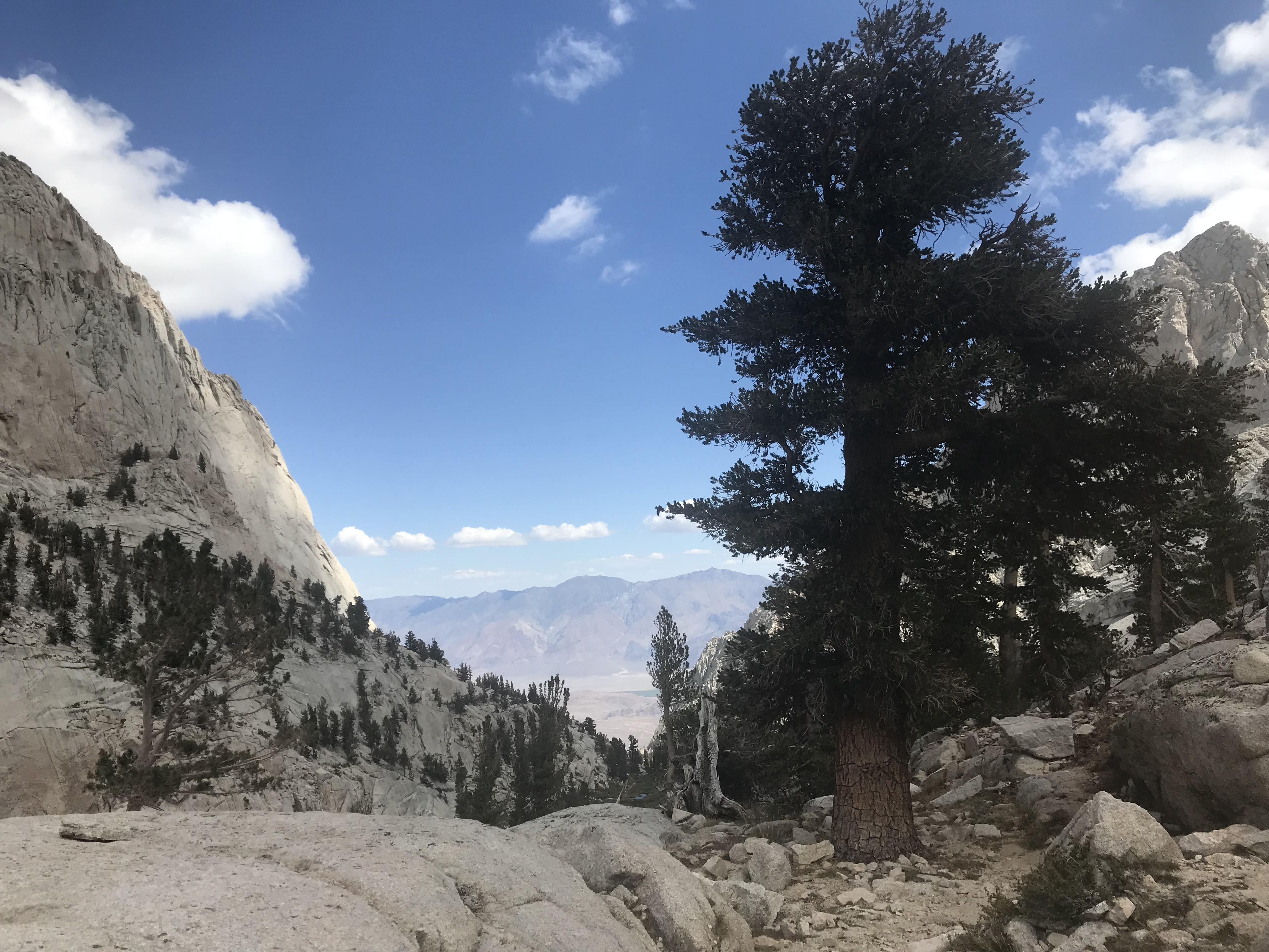
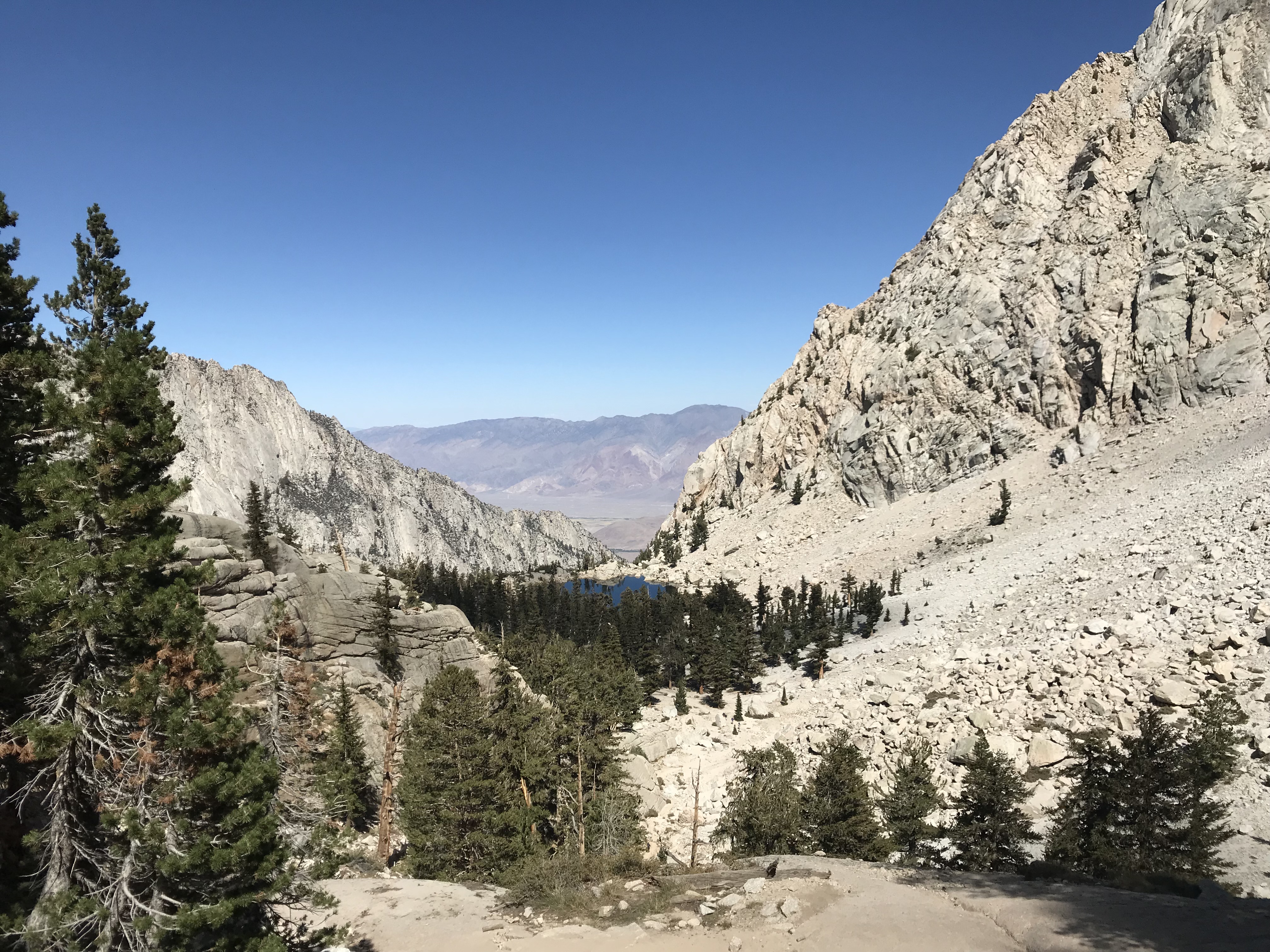
Lone Pine Lake with Owens Valley in the far distance
Meadow where Outpost Camp is located
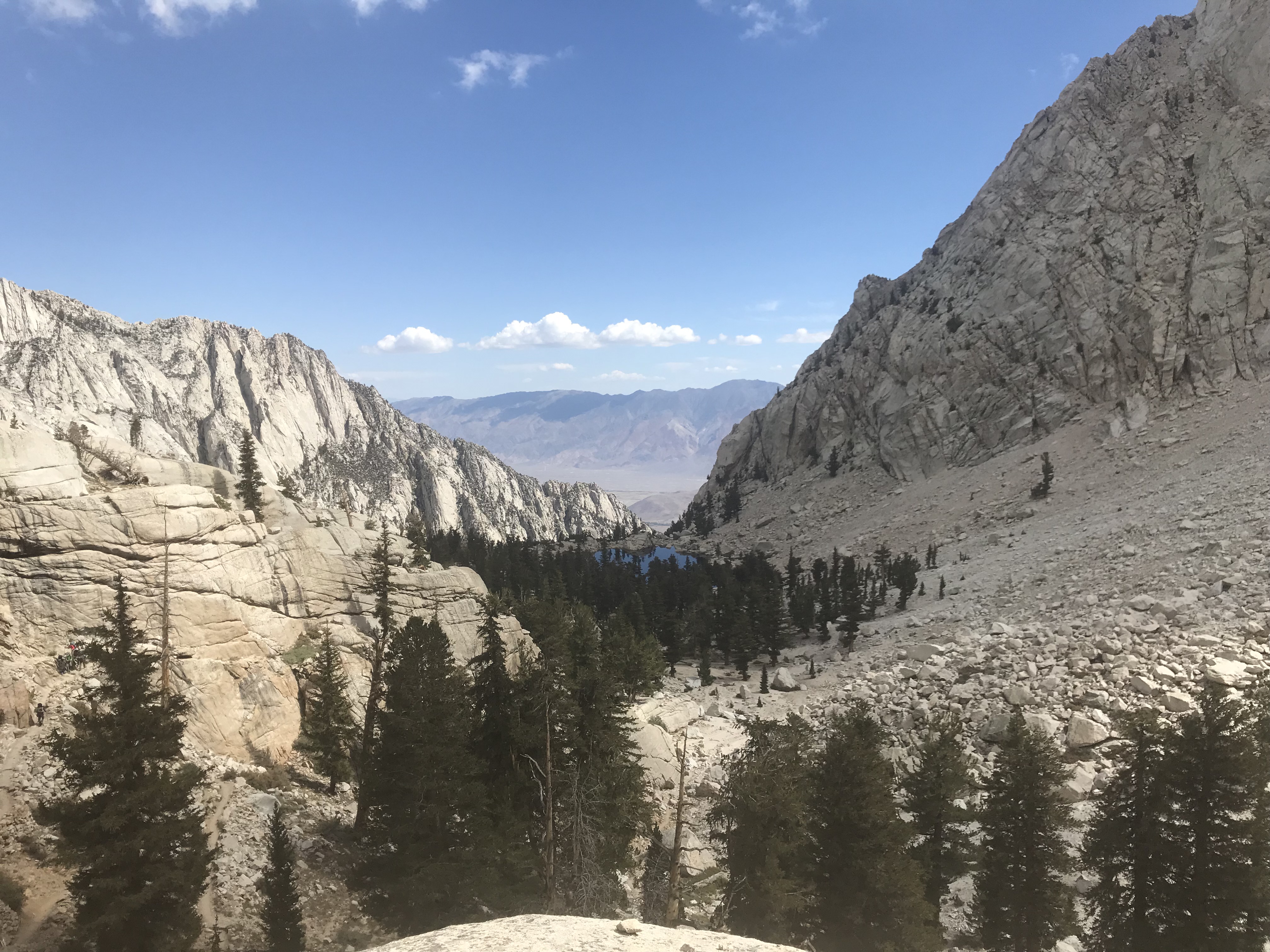
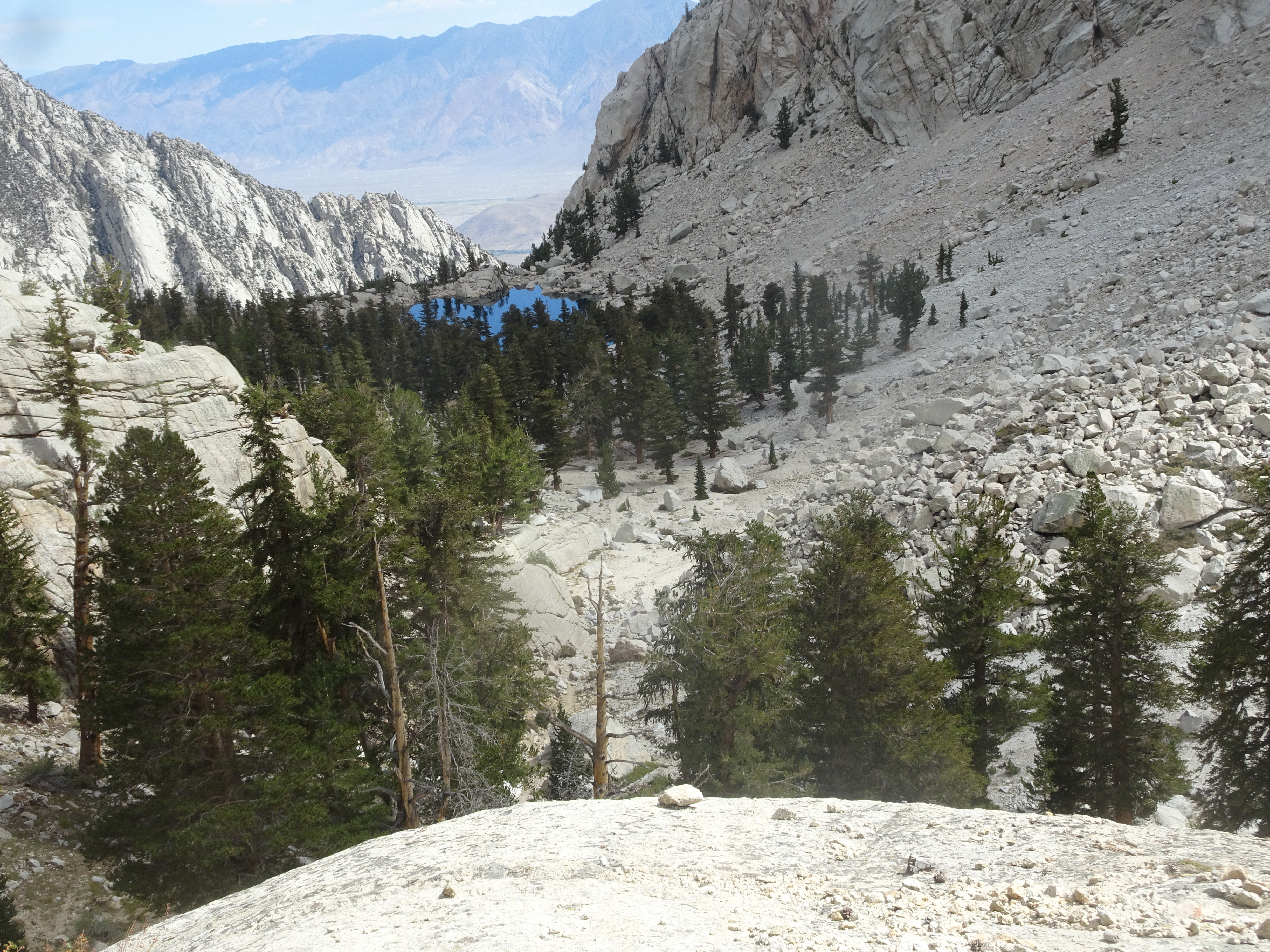
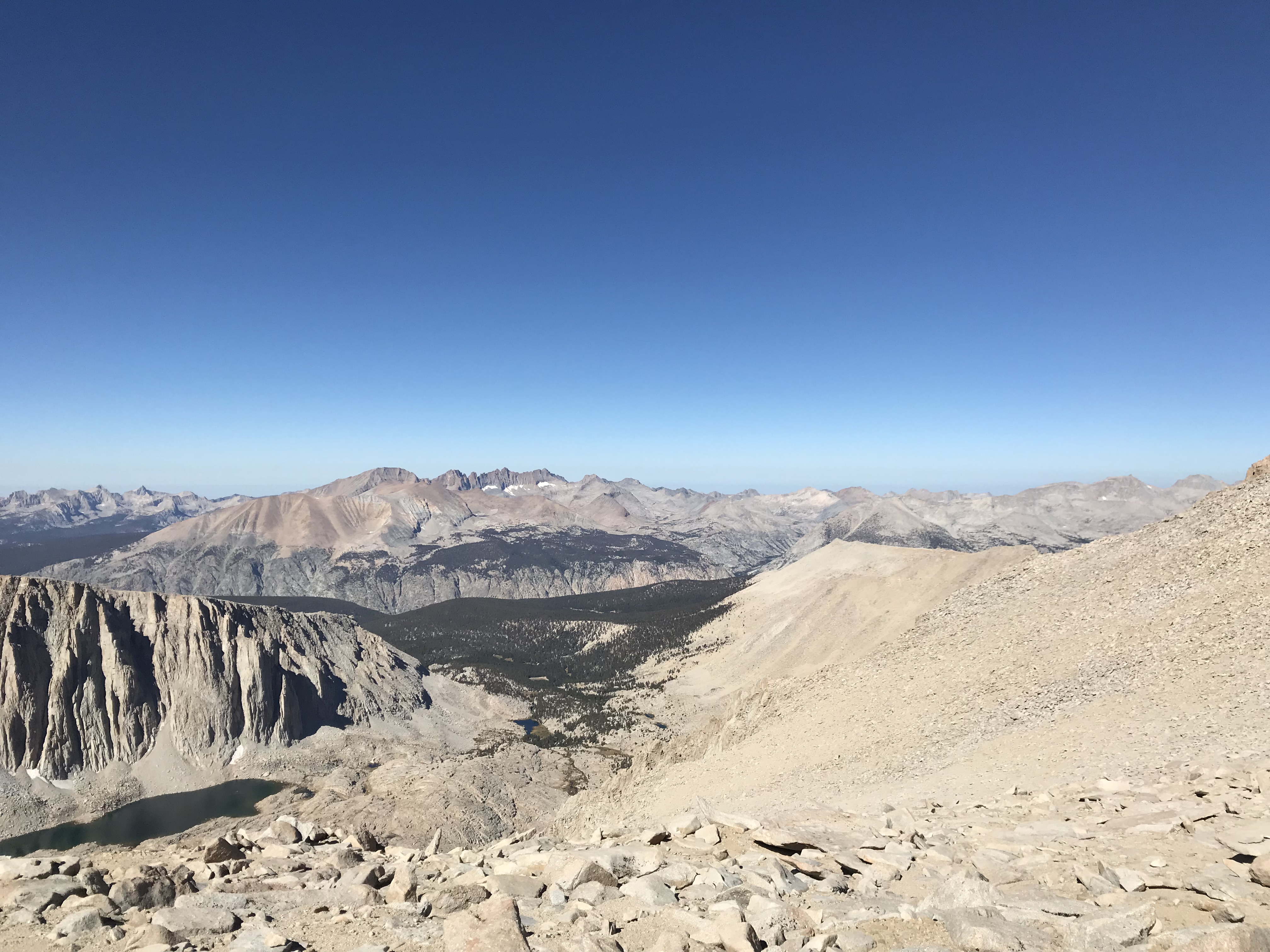
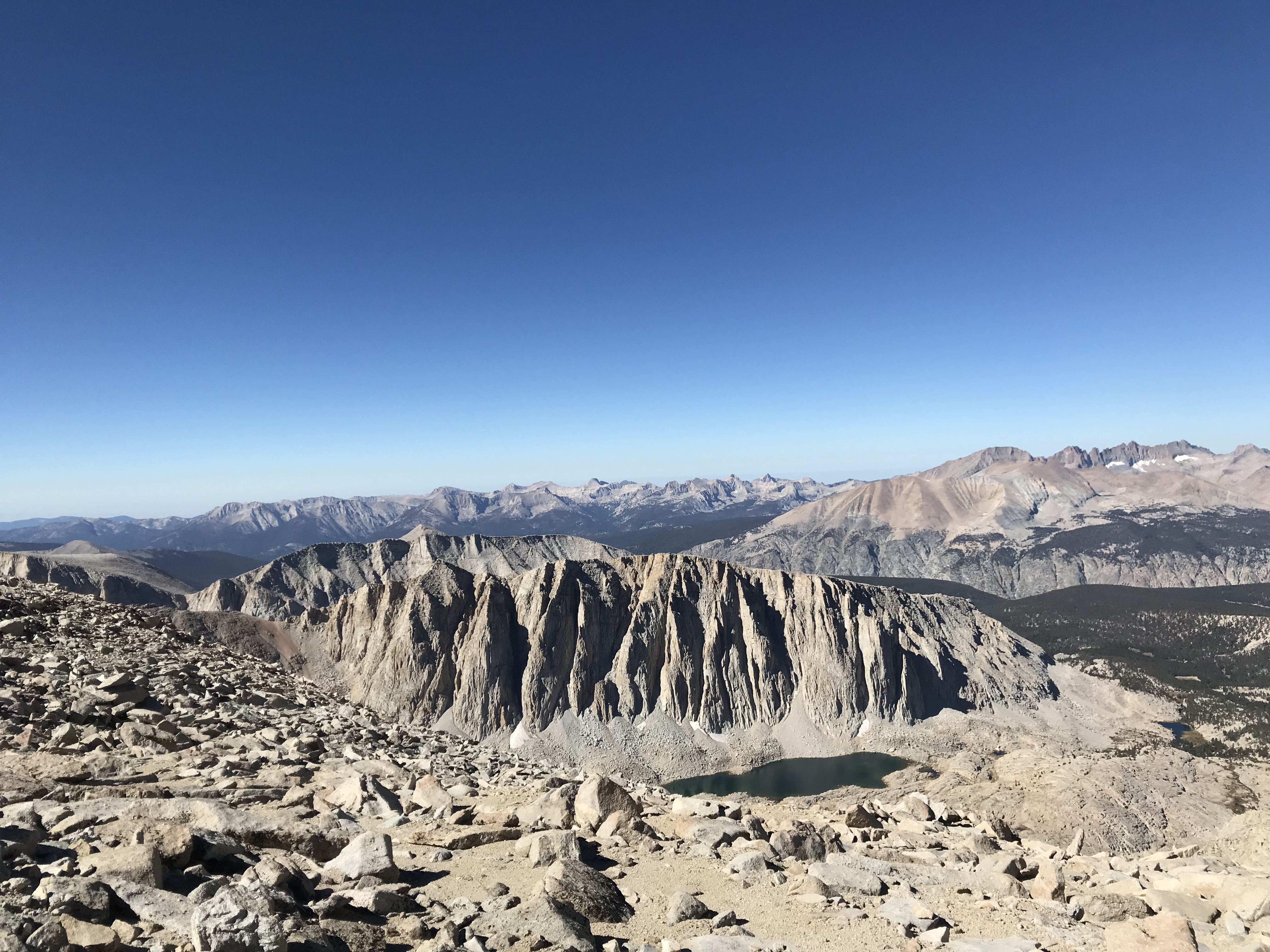
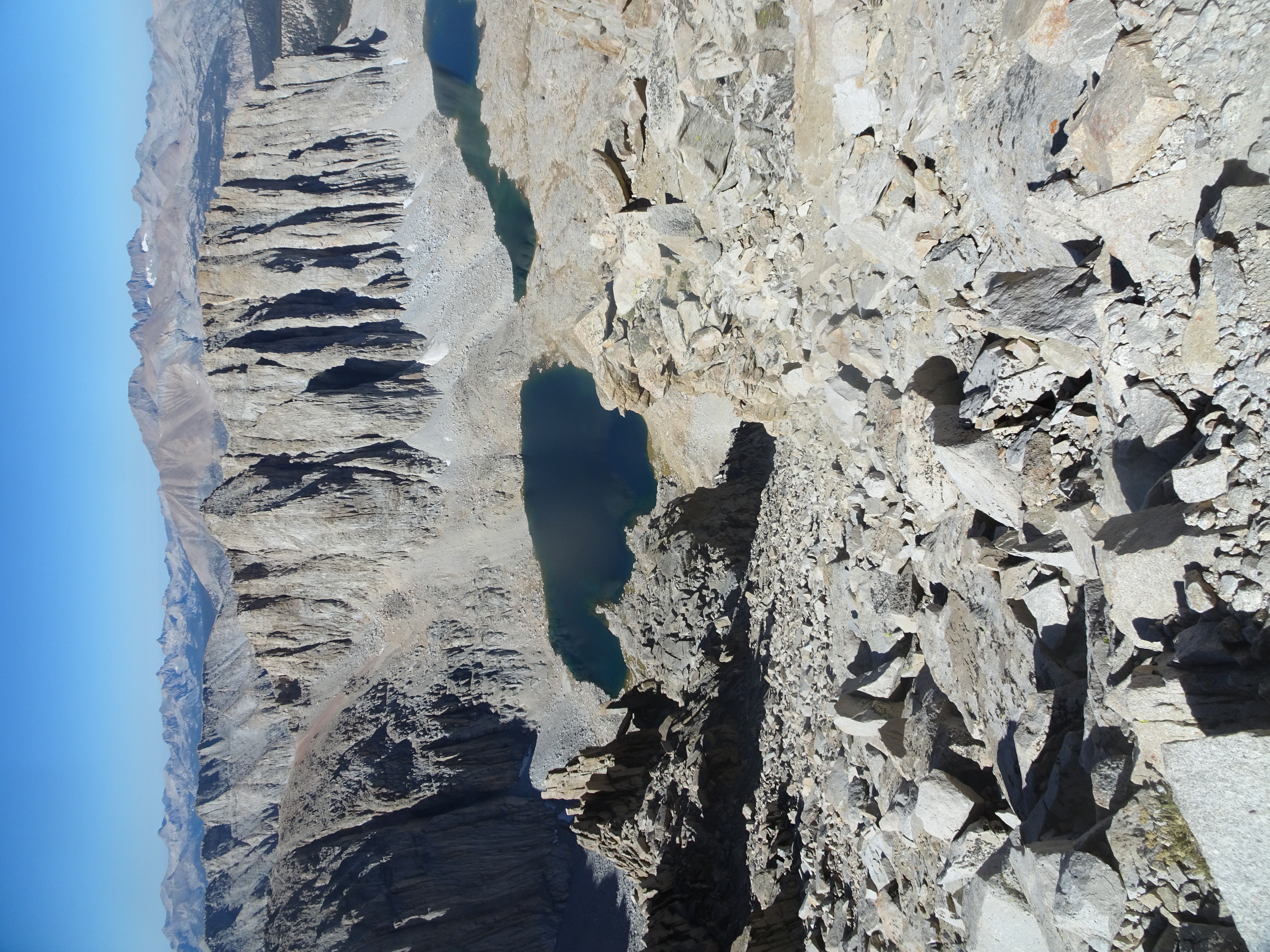
We get our first view of Consultation Lake, which is not far below our destination of Trail Camp
We had been discussing whether we should attempt to hike up to Mt. Whitney this afternoon, a day early, or maybe up to Trail Crest (about halfway to Whitney) and in the end decided simply to hike as far up the 99 switchbacks leading to Trail Crest as we could. It should be noted that Molly could hike uphill much faster and longer than Bob, but that Molly graciously waited for Bob as he needed to catch his breath.
After 33 switchbacks, clearly Bob was too slow and tired to get to either the summit or the Trail Crest, so we stopped and ate cheese, Triscuits, raisins, cashews and almonds. The views were magnificent with both Consultation Lake and the pond near our campsite in sight far below us.
During the day we met people coming from Yosemite, Kings Canyon, and hikers who had started early in the morning (2 am) and had already hiked to the summit of Mt. Whitney from the trailhead and were on their way back there.
Returning to out tents, Bob noticed a painter we had met earlier was now at his campsite with his easel and oil paints working away. Molly dressed extra warmly, including one of Bob's flannel shirts that Shirley had packed in the trunk of the car for emergencies, since the temperature could get to freezing, then sat outside for a bit before going to bed. We went to bed early with the aim of getting up at 4 am.
Day 7, Friday, September 7
Summary: Hiked up to Mt. Whitney Summit, returned to camp, packed up, backpacked down to trail head, and drove to Mammoth.
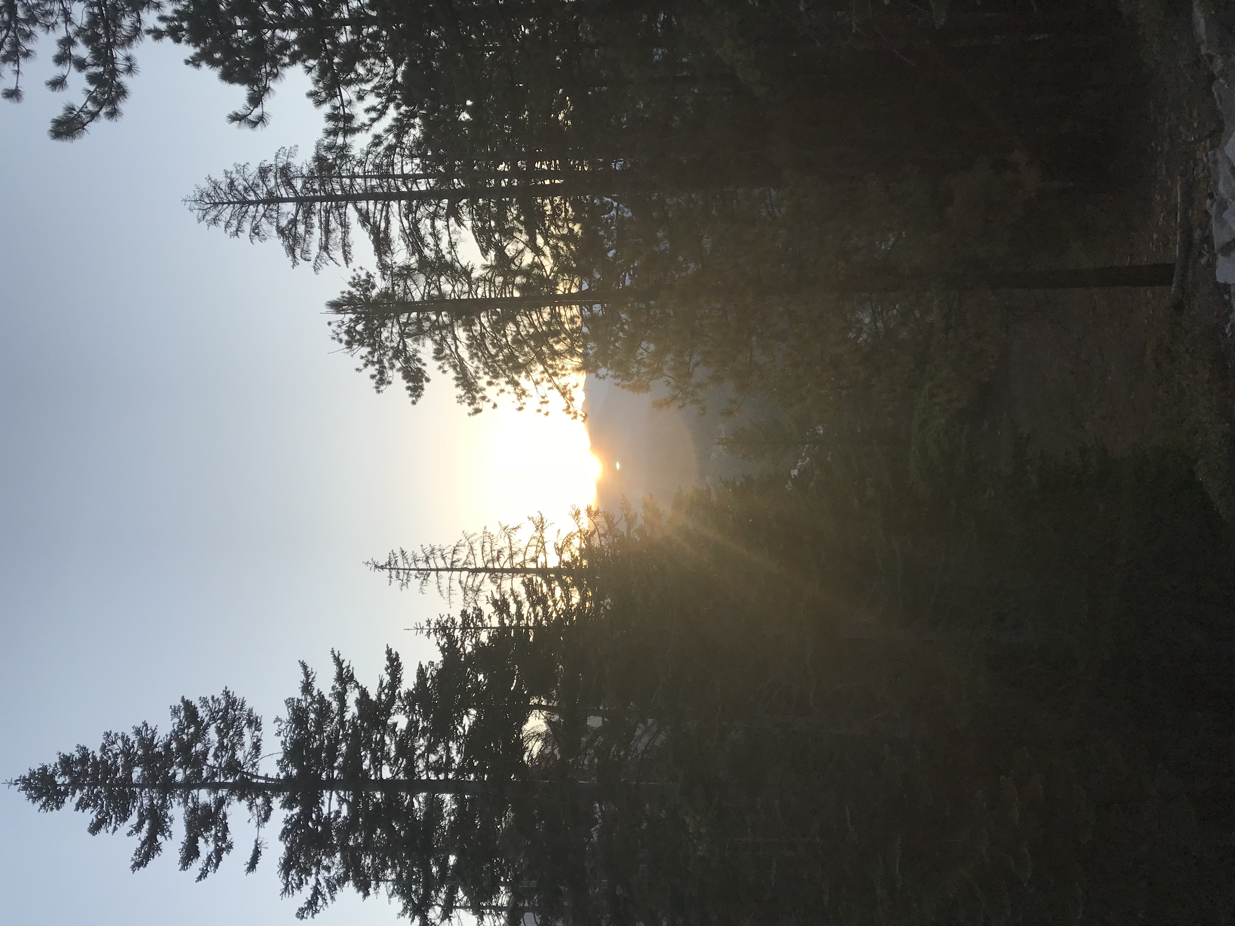
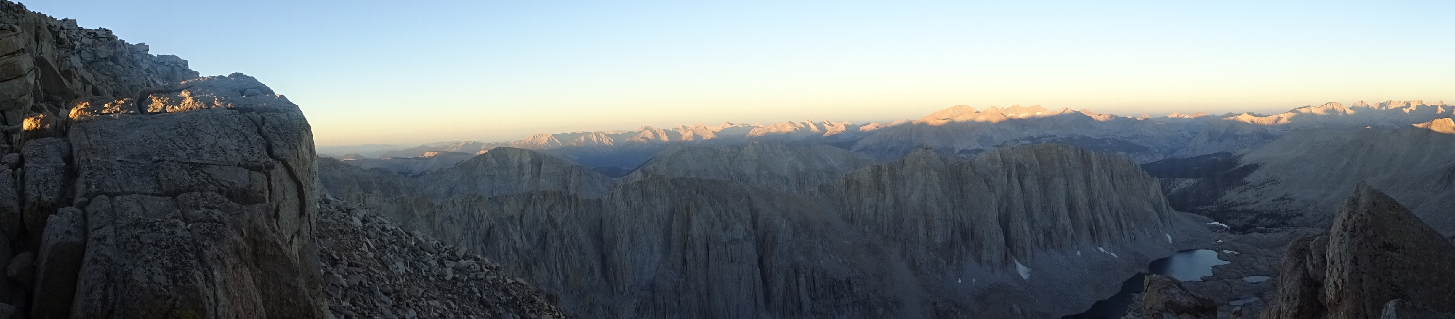
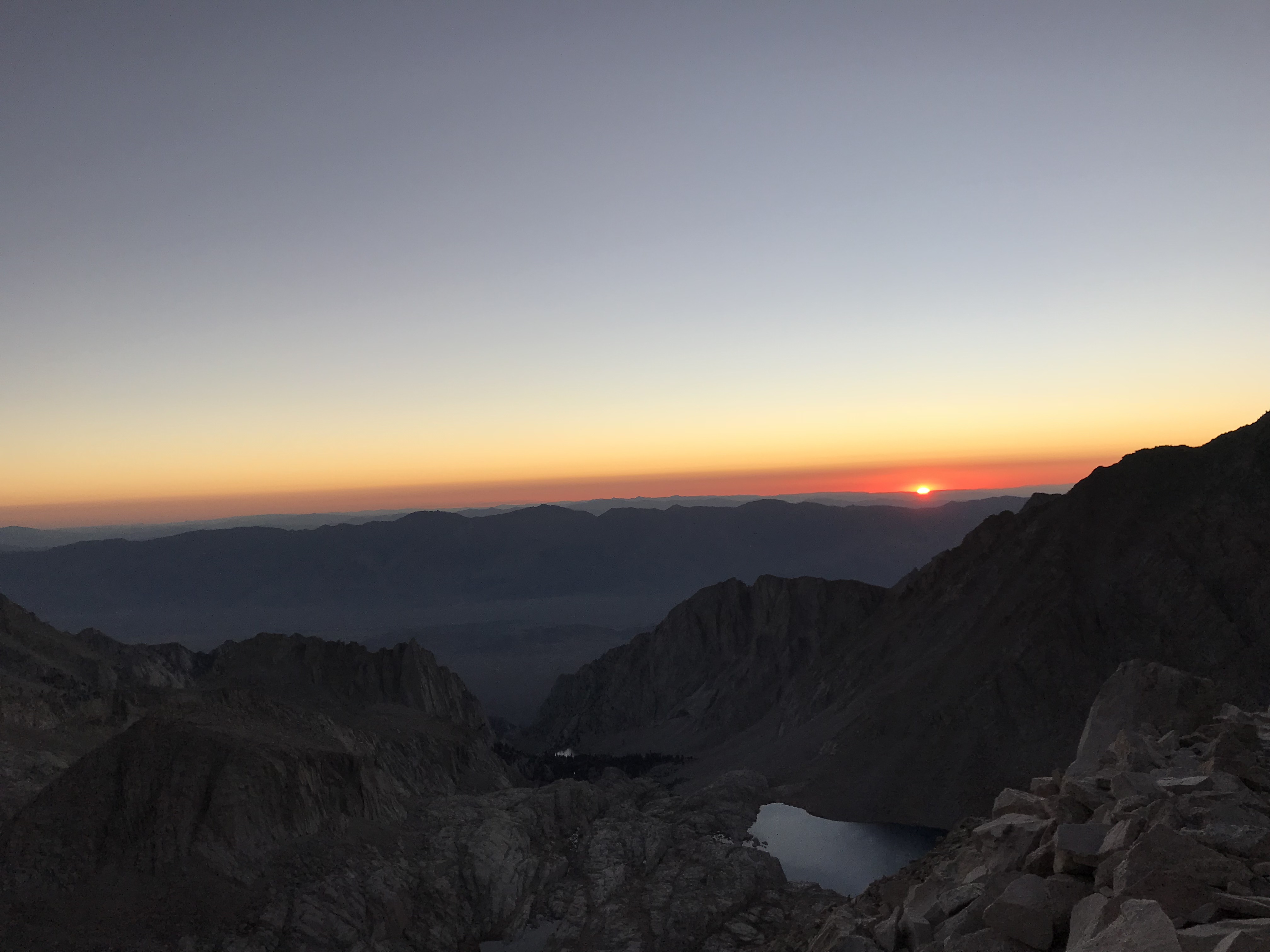
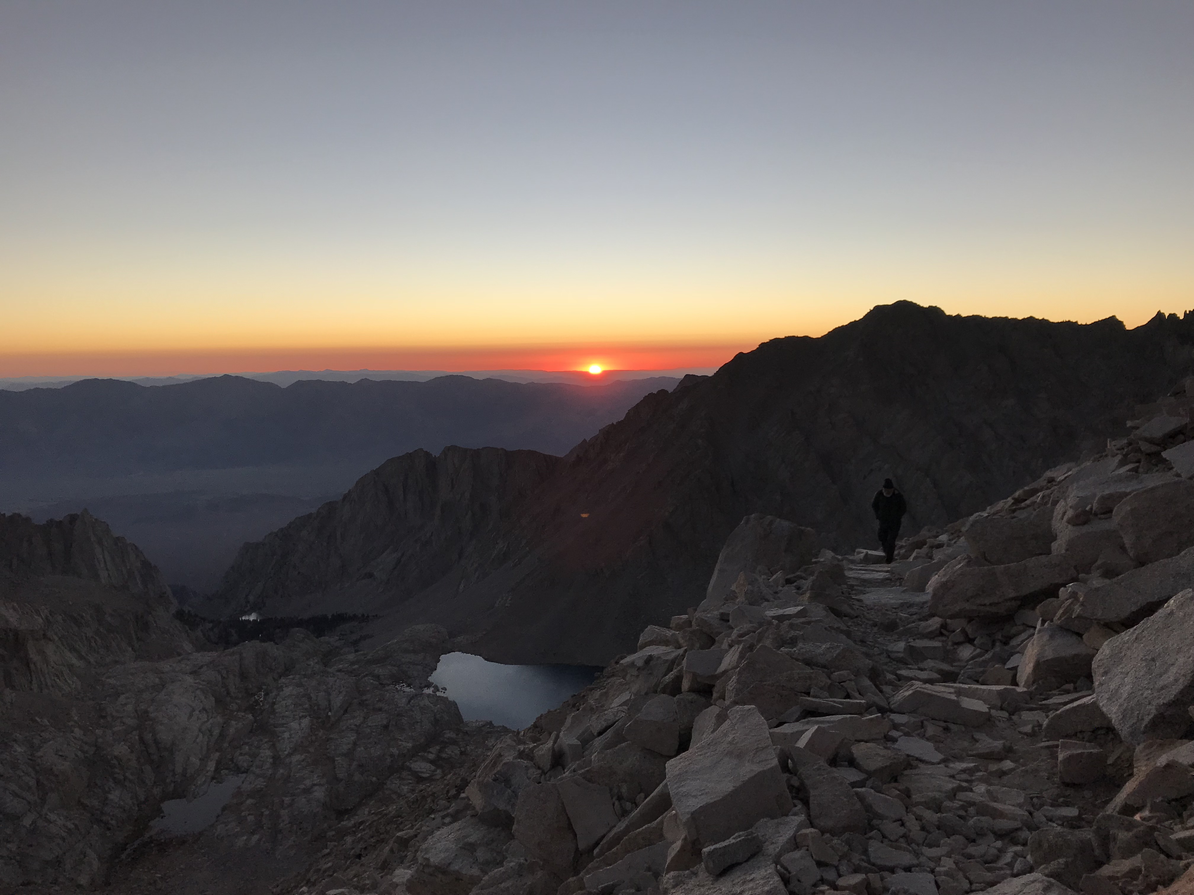
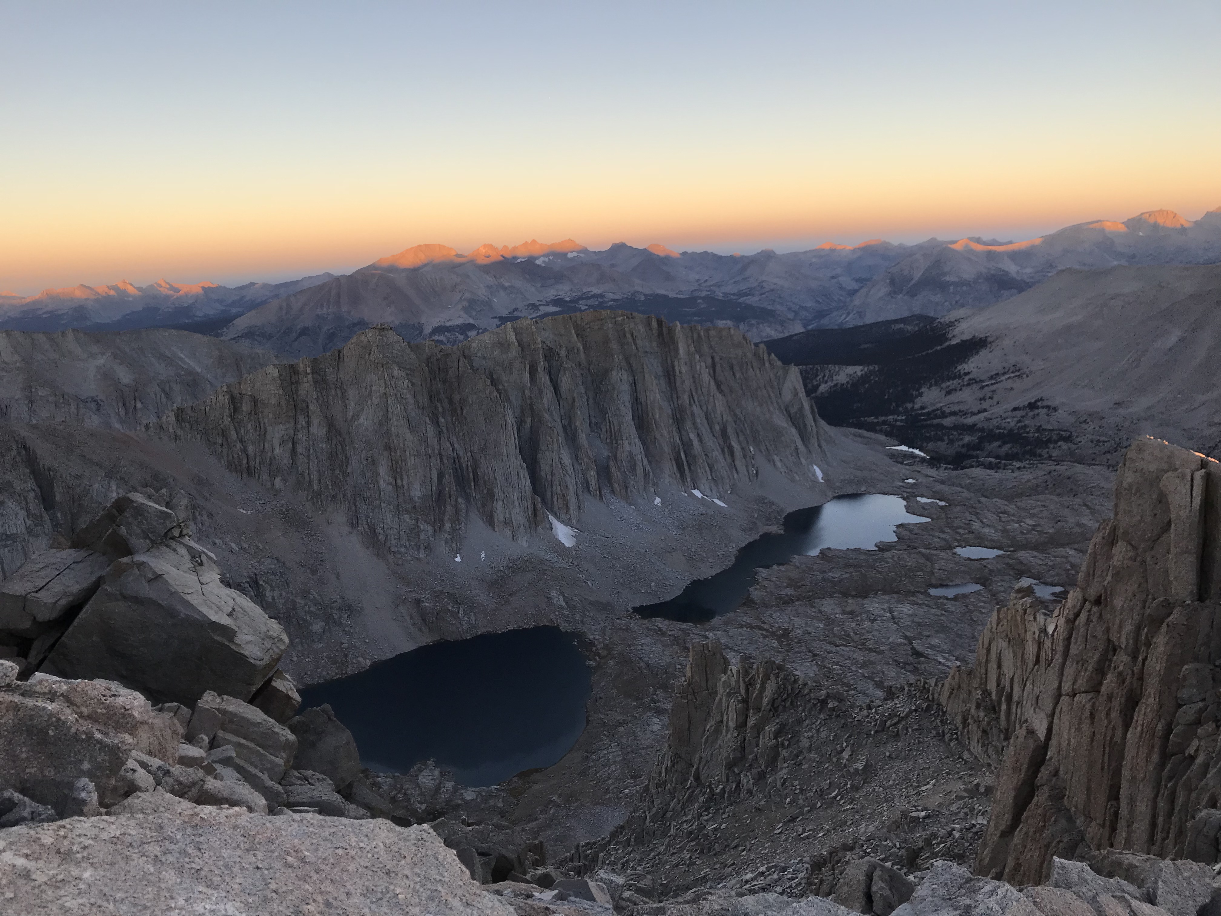
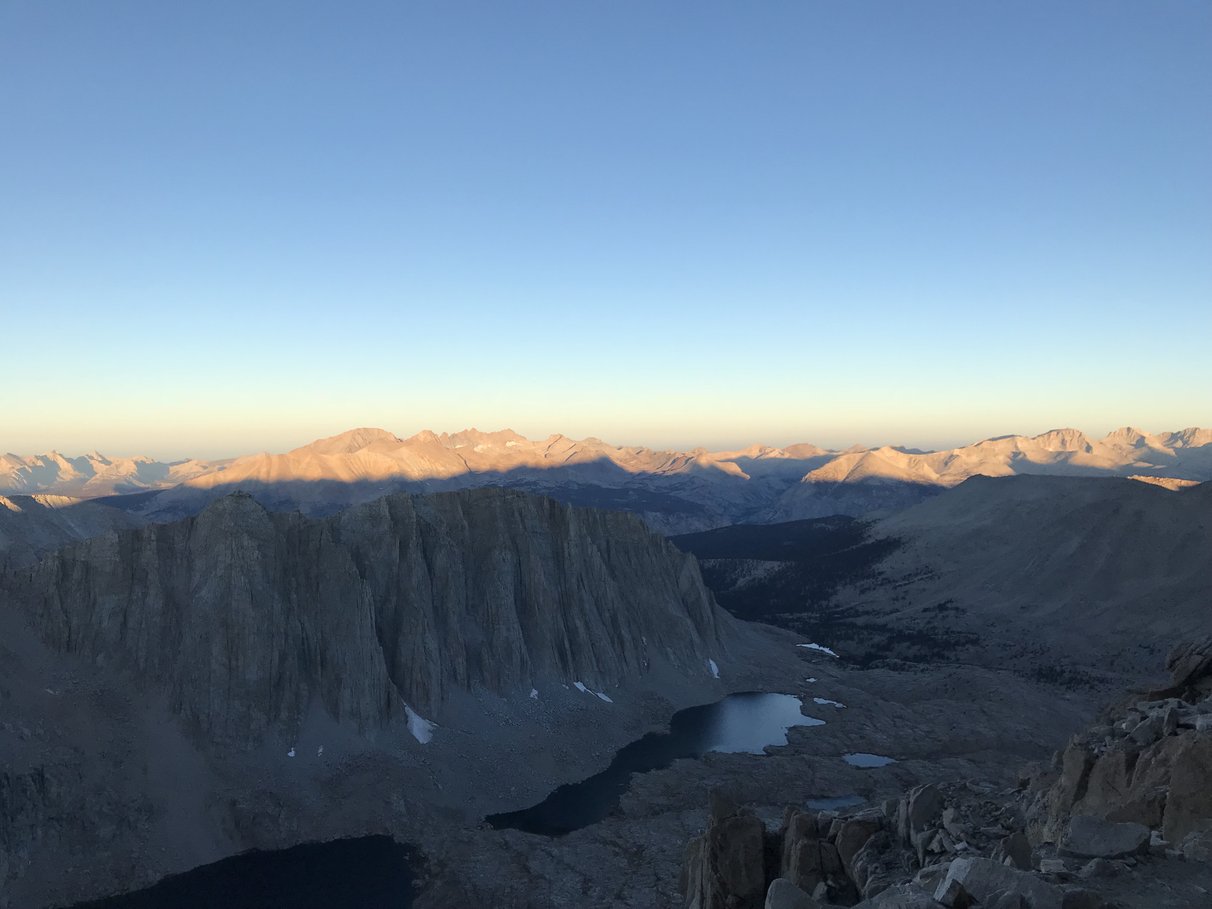
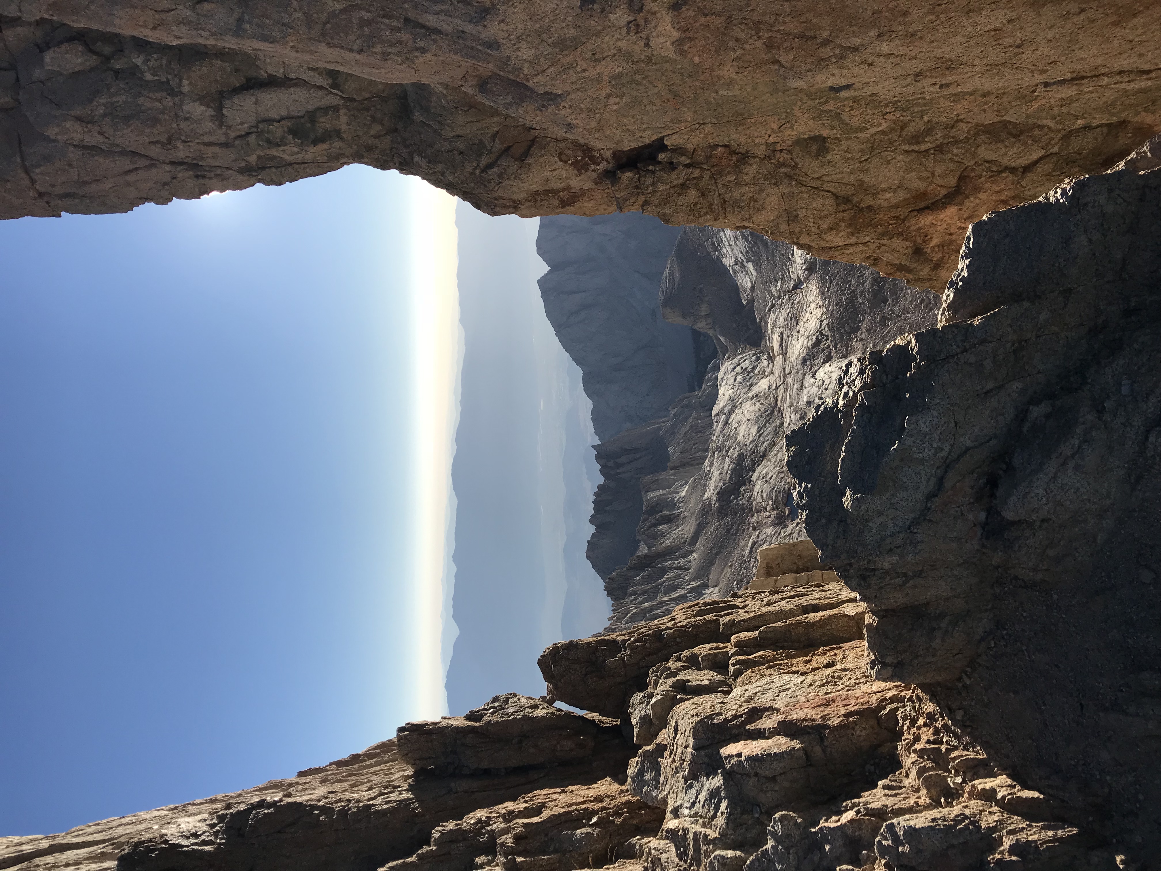
Sunrise on the peaks of the western Sierras as seen from Trail Crest
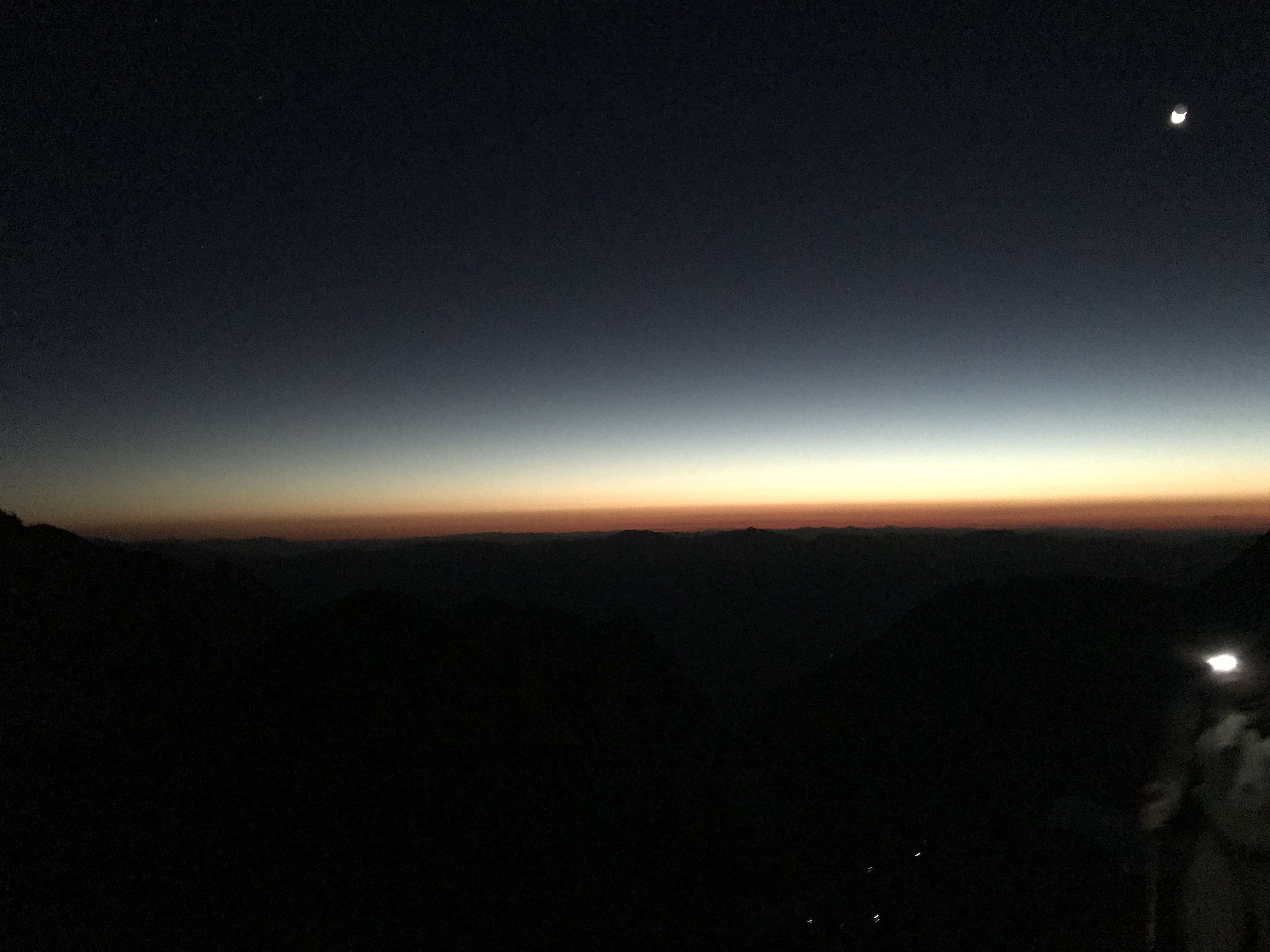
Awoke at 4, left camp at 4:30 in total darkness, getting to see the lights of many backpackers both ahead of us and behind us as we climbed up the switchbacks. We also saw the beautiful sunrise as we neared the crest at 6:30 am.
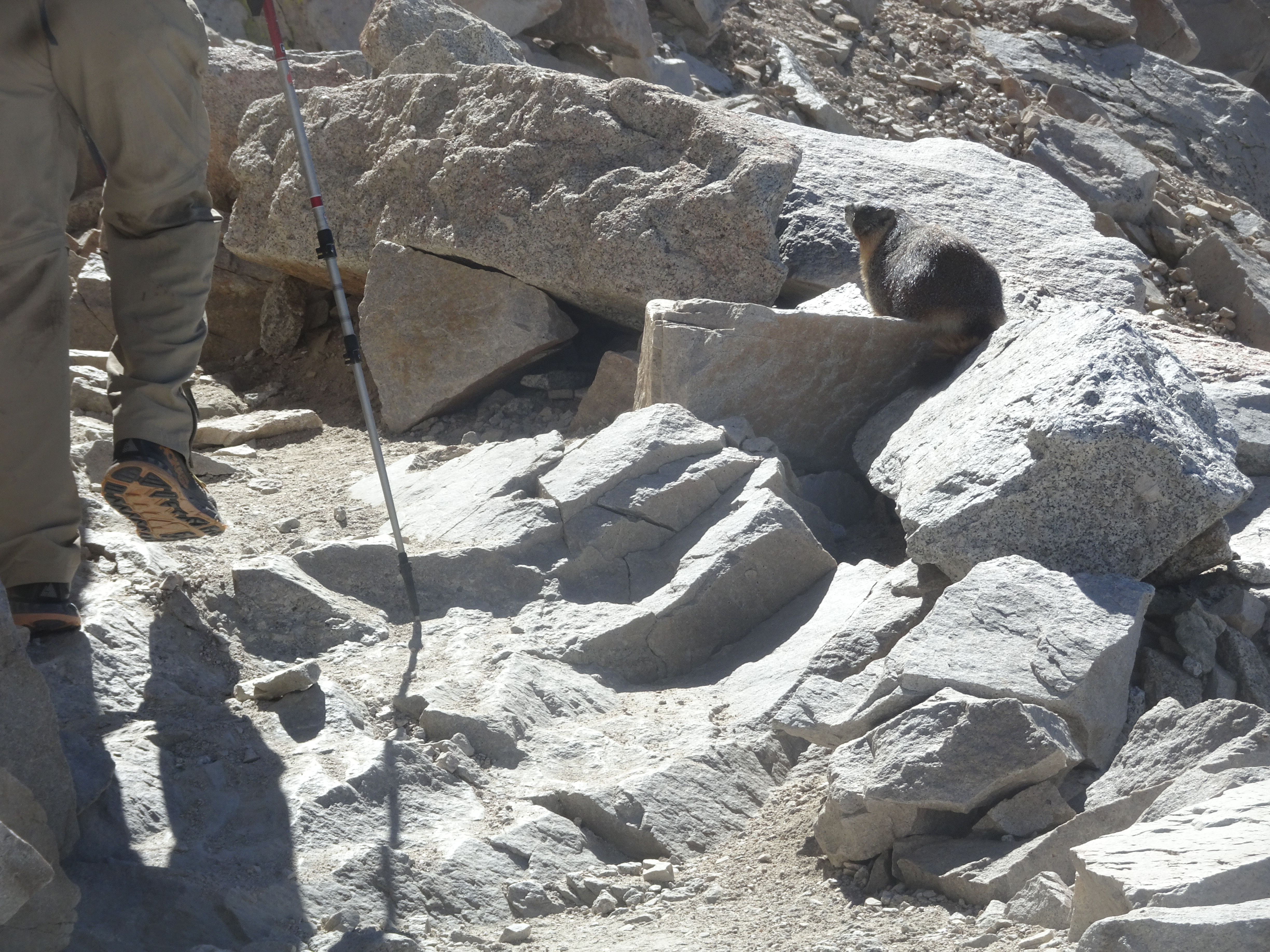
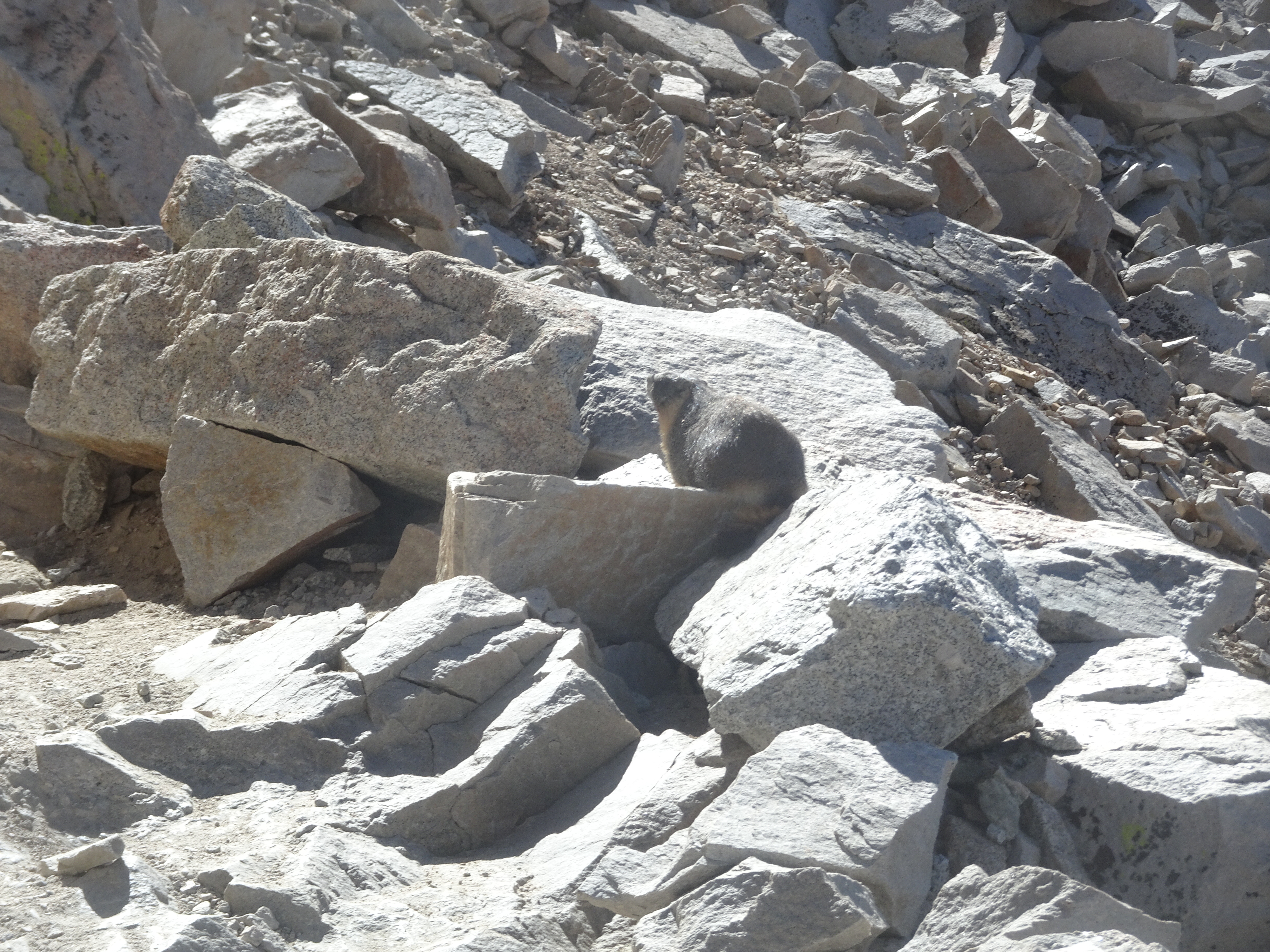
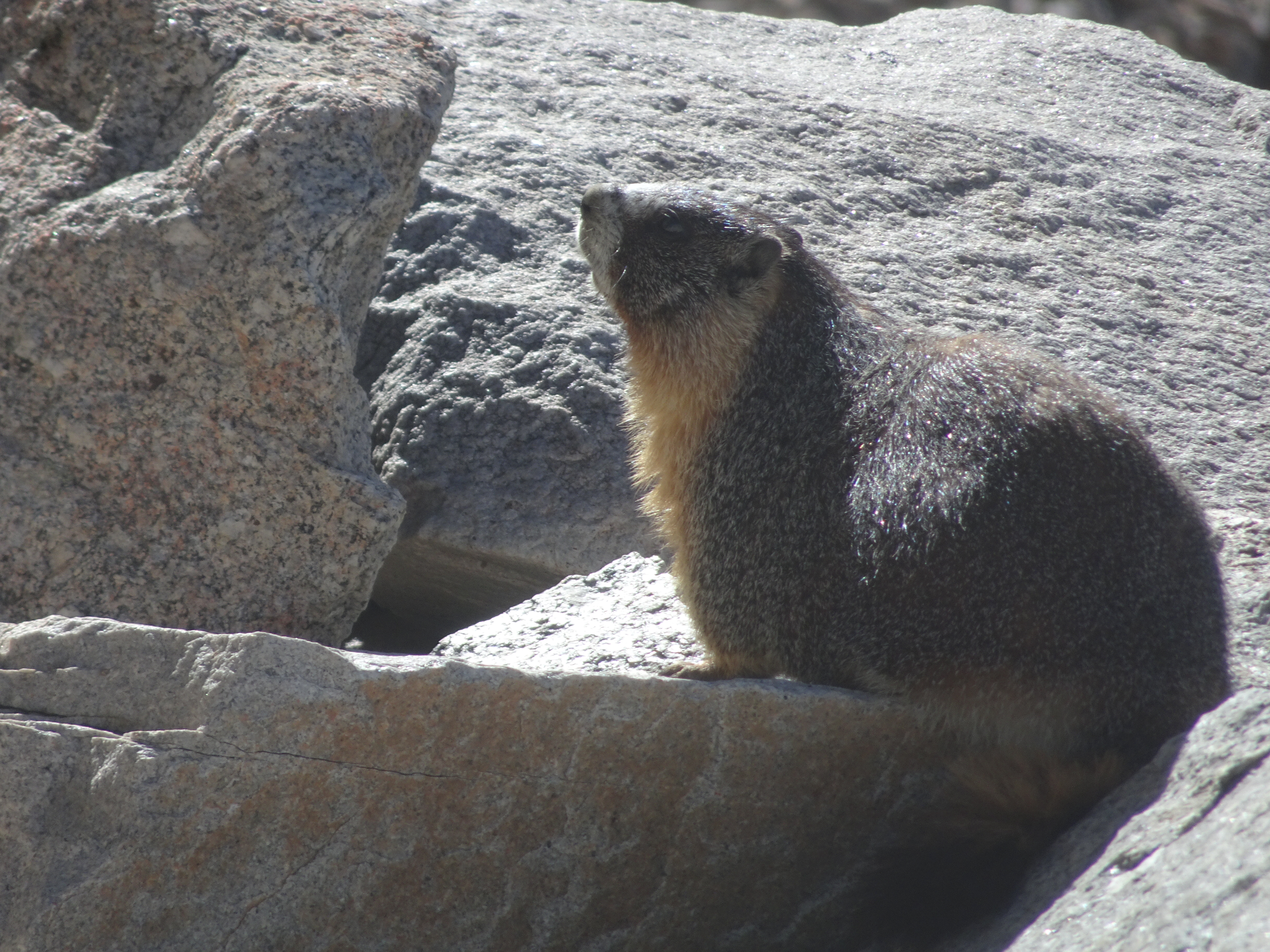
Whereas Bob had a harder time going up and Molly slowed for him, going down he could keep up. As we went down we got a close-up view of a marmot who did not seem too concerned about humans on his trail
We packed up and left Trail Camp by 12:45 pm, backpacking down to Whitney Portal trail head by 4 pm.
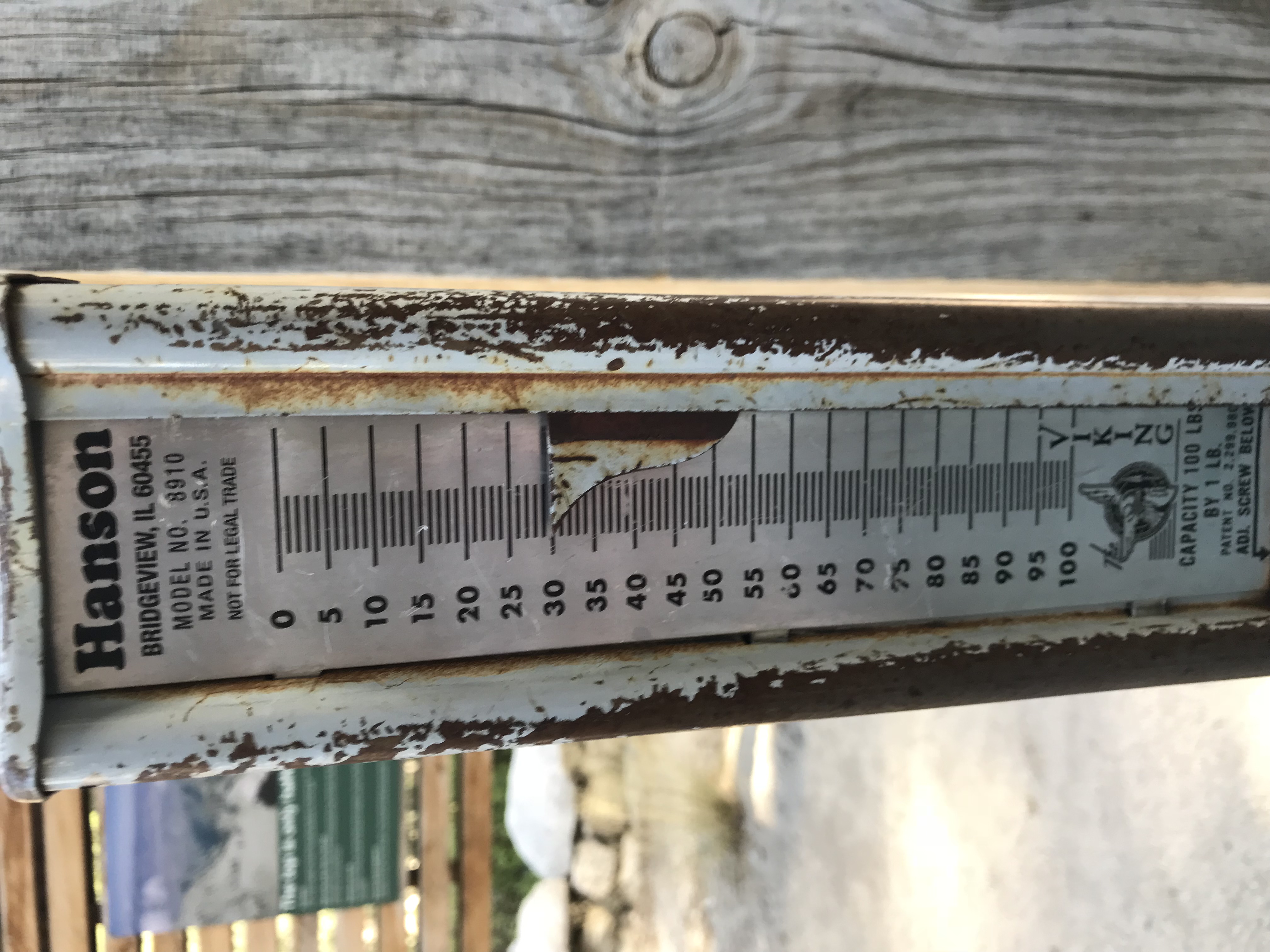
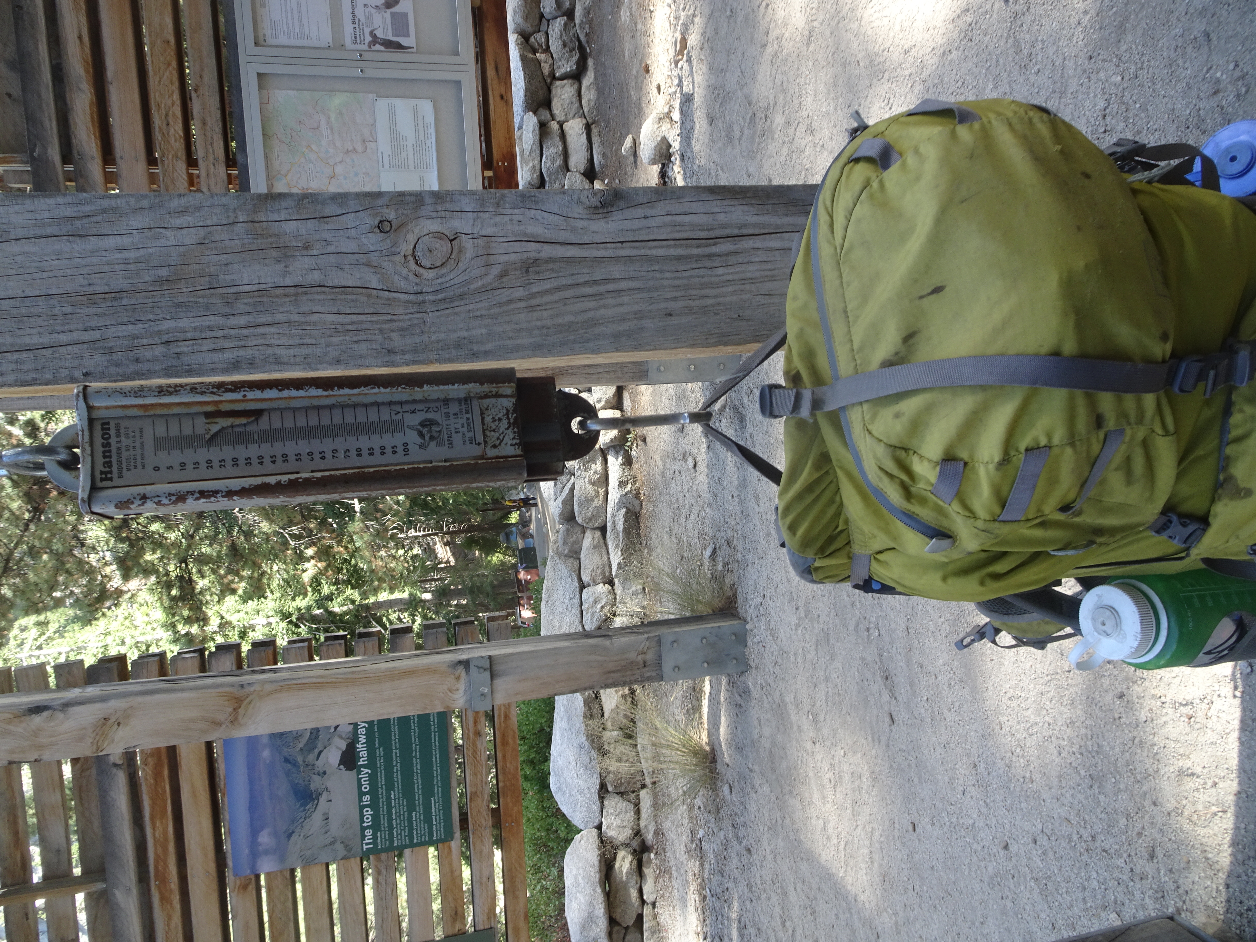
We weighed our packs because Molly had taken weight out of Bob's pack when he mentioned his back and one foot were giving slight problems. The scales showed Molly carrying ten more pounds (30 vs 20) than Bob, for which Bob says "Thank you!".
During our hiking we saw 2 marmots, 1 pika, birds in a very cold lake swimming and diving, then as we drove back a coyote ran across the highway.
Our first stop on the drive back was in Lone Pine at a Subway sandwich shop, where we each bought a 12" sub, eating half there and carrying the other half back for dinner. After much discussion about how far towards home we should drive, including input from Shirley, we decided to stay at the Shiloh Inn Suites in Mammoth.
Day 8, Saturday, September 8
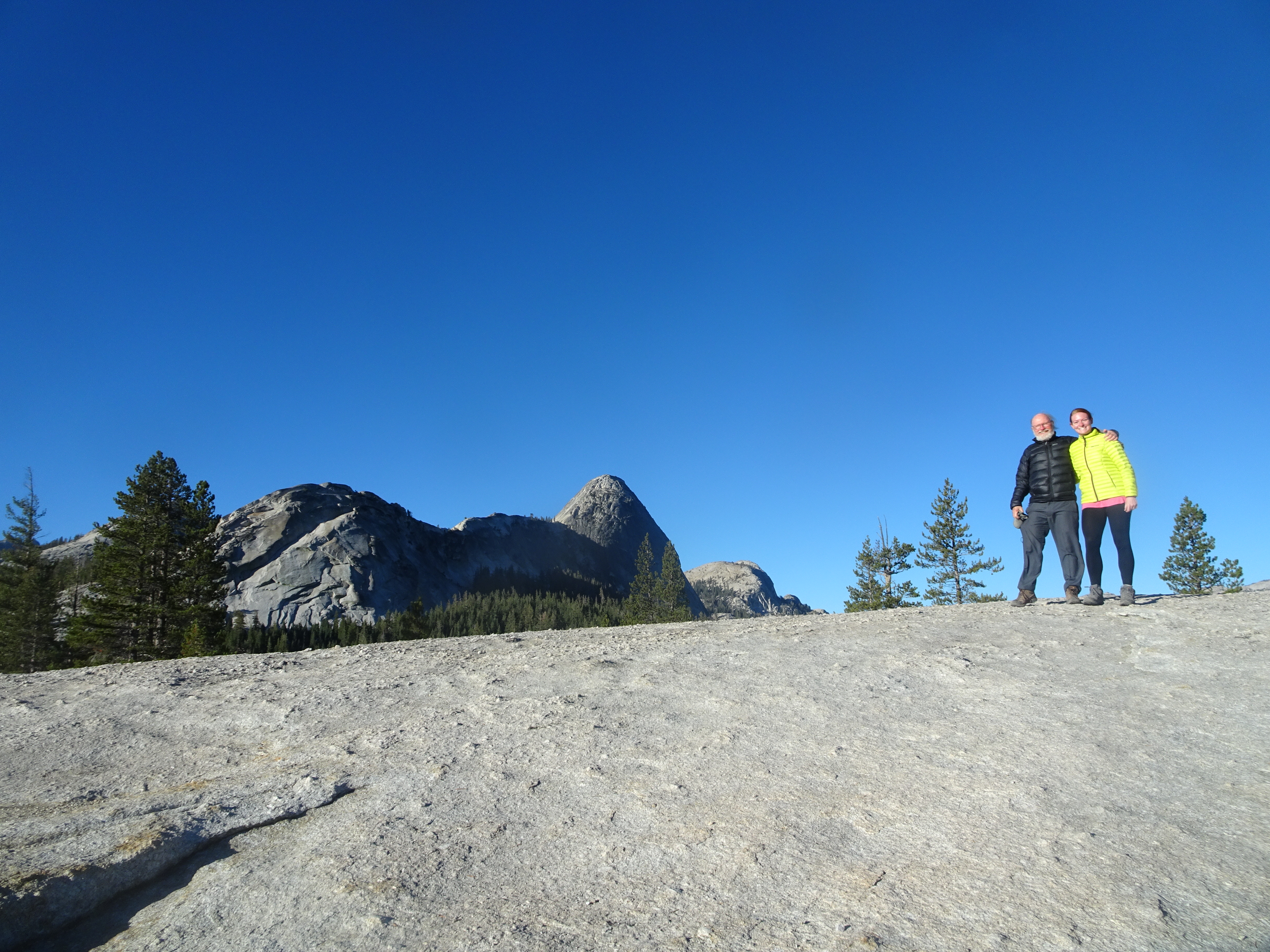
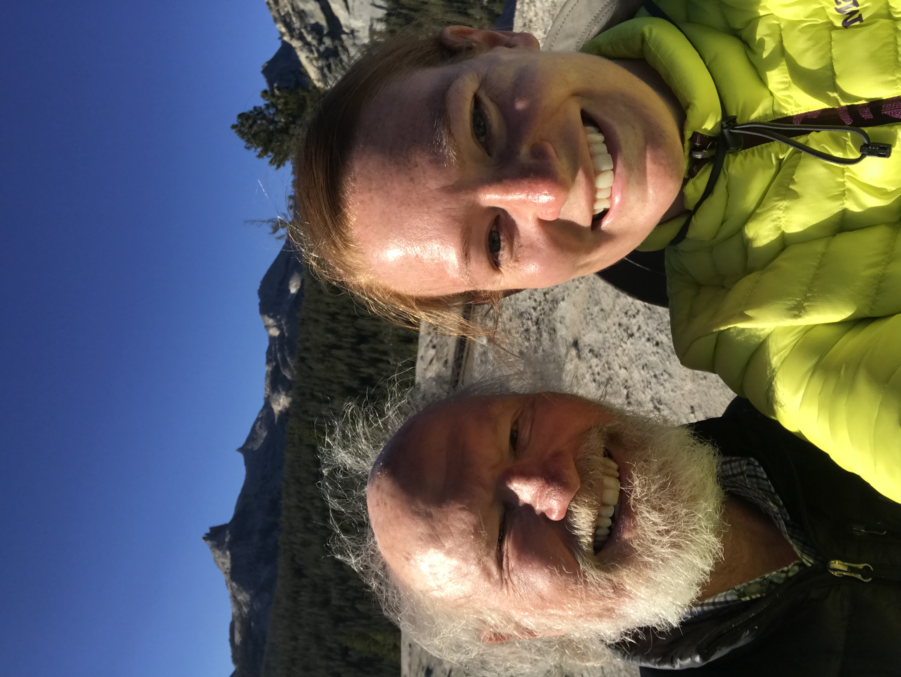
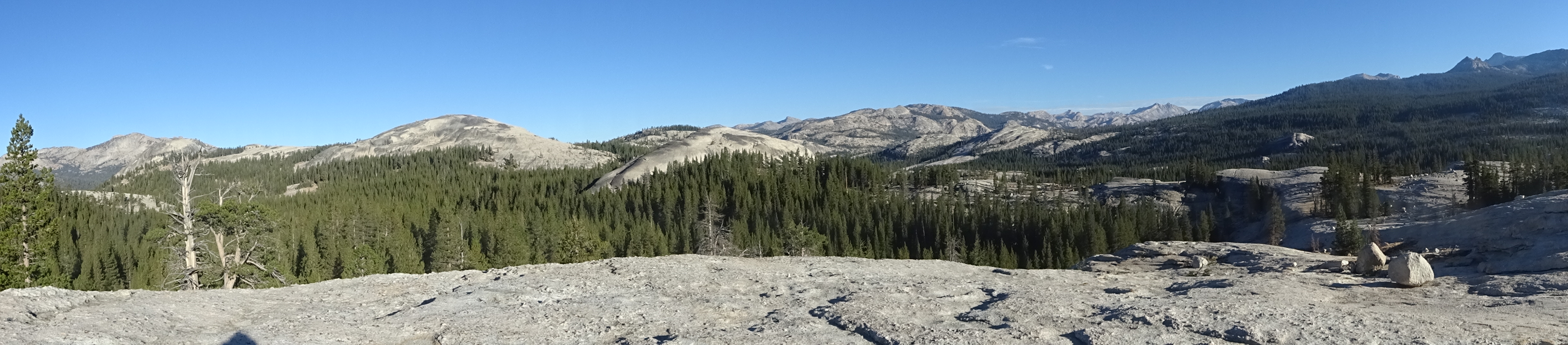
Summary: Drove from Mammoth to Santa Rosa with a stop for a hike in Tuolumne Meadows.
Diary:
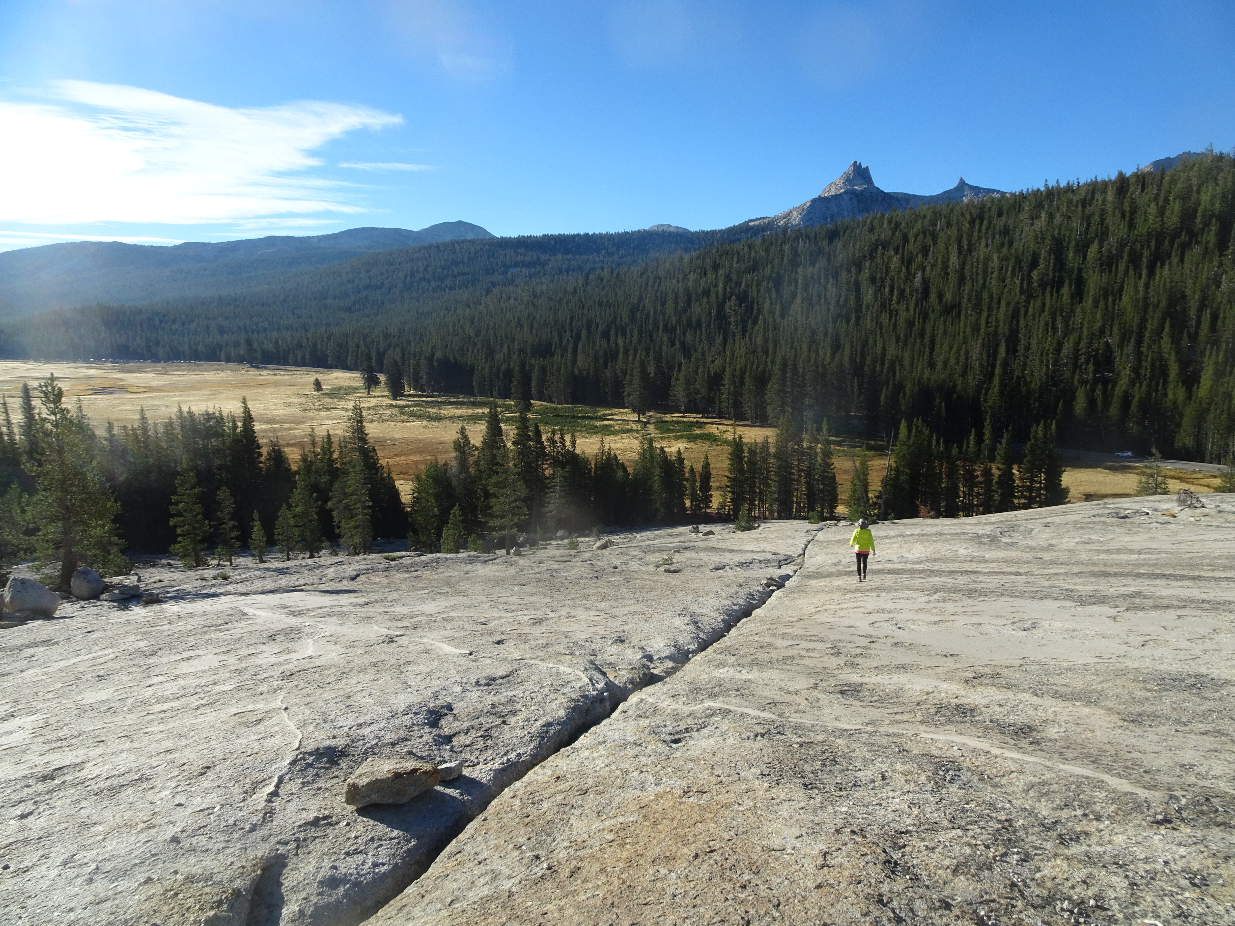
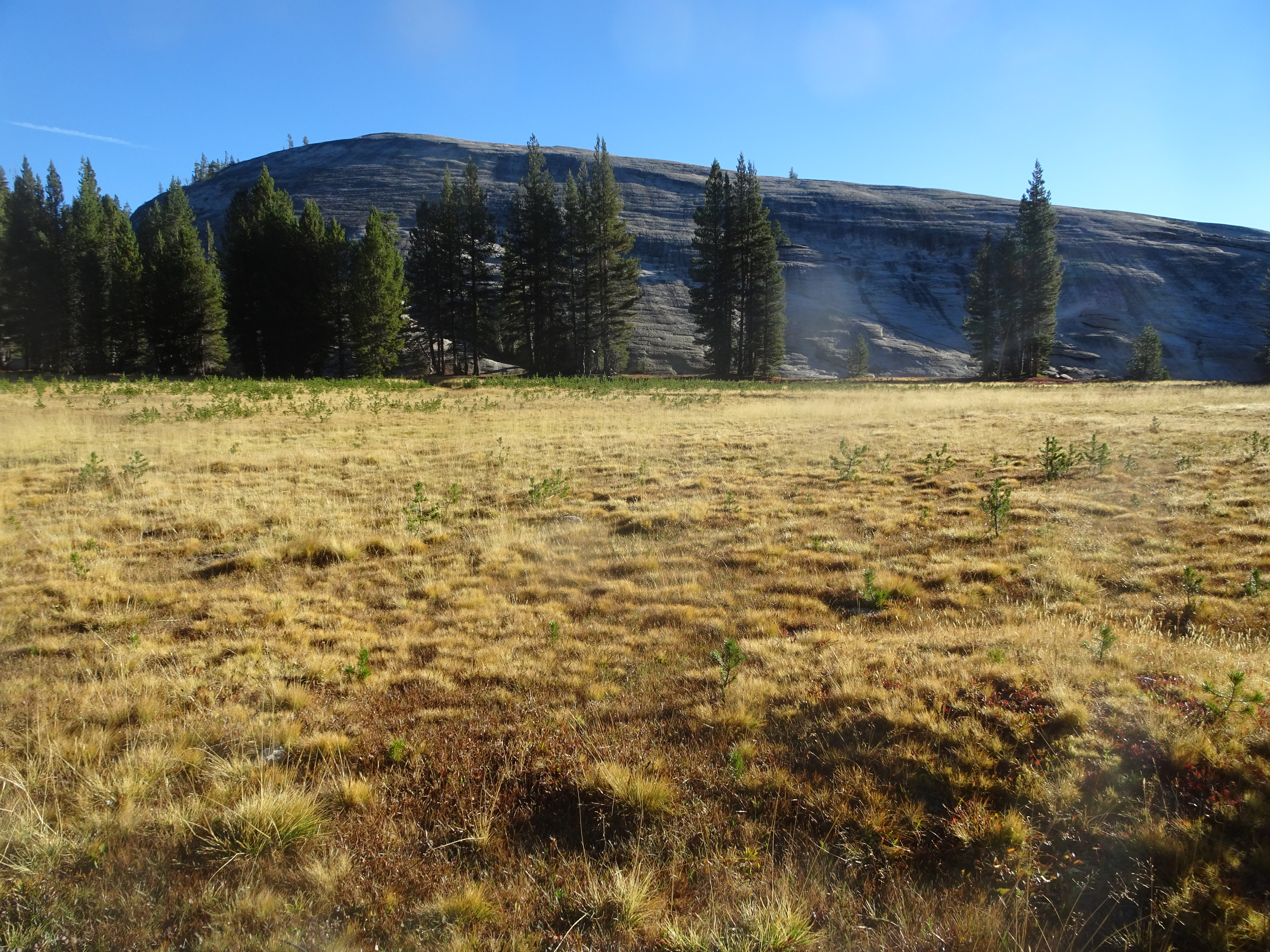
We had been unable to stop in Tuolumne Meadows because of weather several days ago, but this morning the weather was perfect.
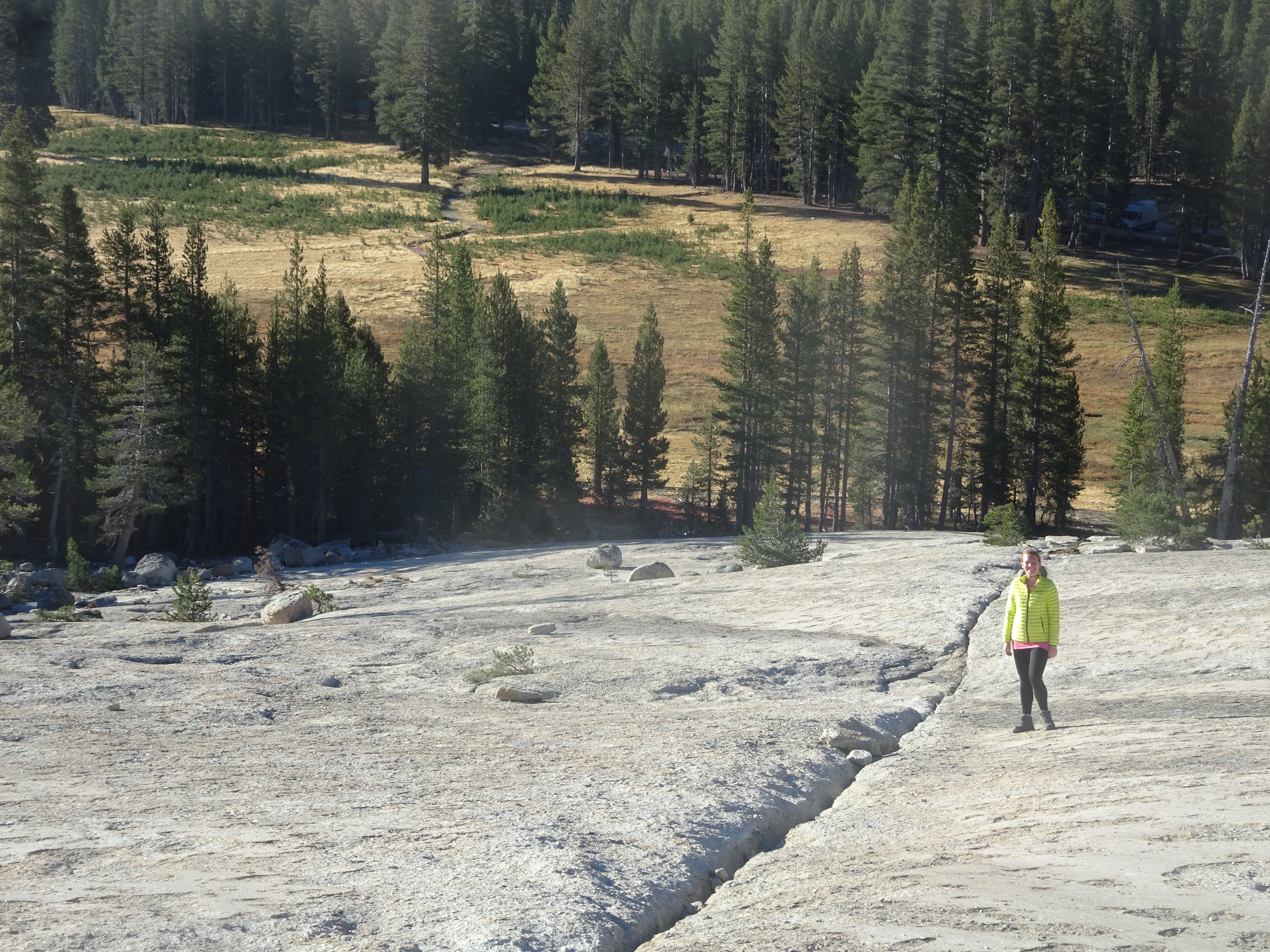
There is a path in the Meadows which leads to a granite shelf that rises high enough so views of surrounding peaks become available as one climbs higher. The Meadow path itself ends at the base of the granite, but it is easy to walk up the granite. It seems that every step higher results in a prettier view. At the top, meadows and peaks can be seen in all directions.
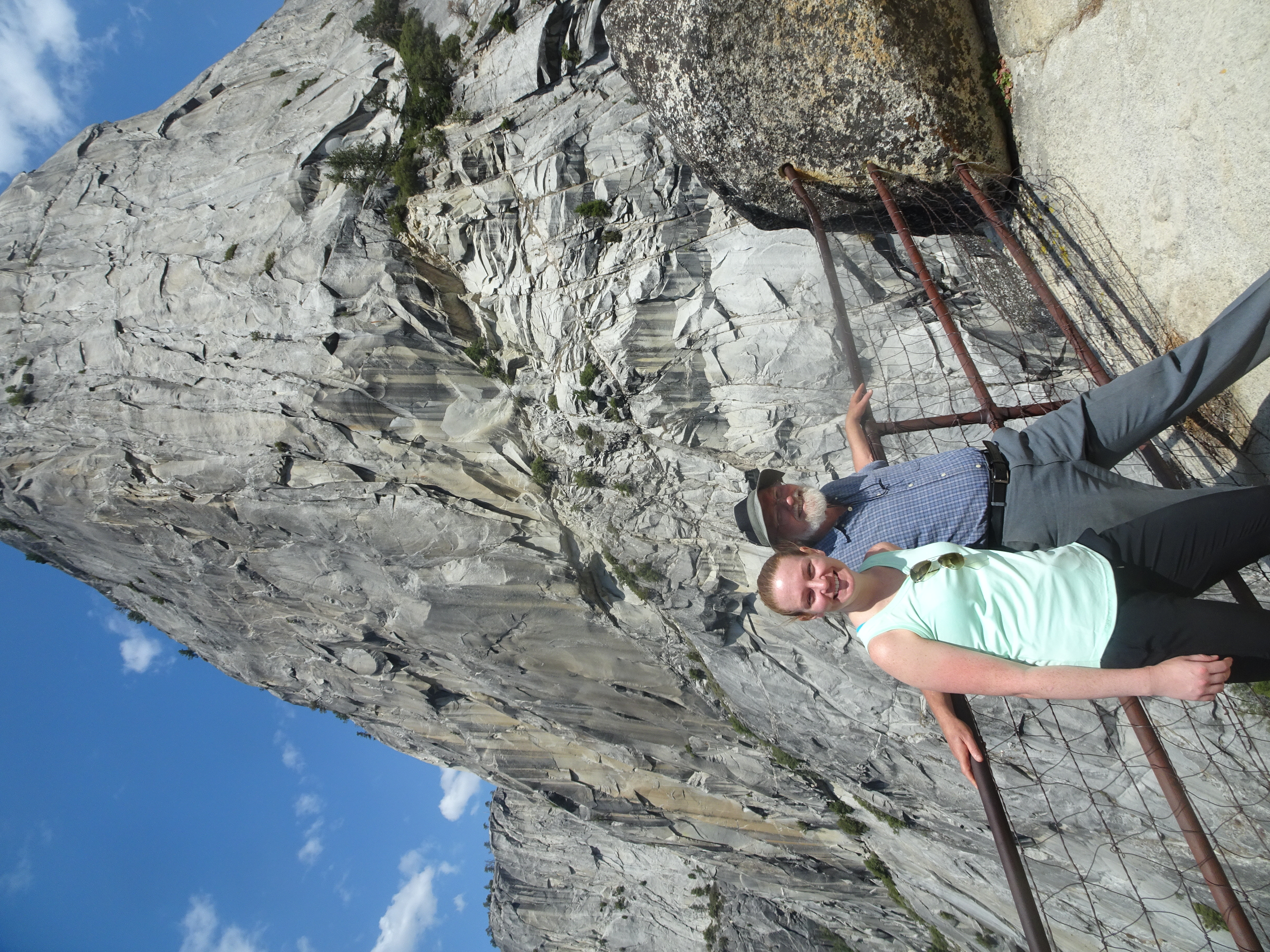
After admiring the views at the top, we walked back down to the meadows and over to the car, where Mollie took one last picture of Bob and his car, since the car is soon to be replaced with a new Subaru after 29 years of driving the Toyota Camry on so many adventures.
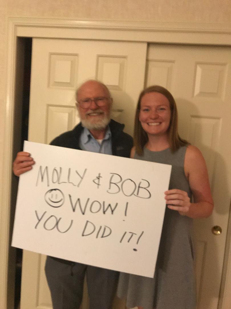
From Tuolumne Meadows we drove to Oakdale for a stop at the Subway sandwich shop (this time we limited ourselves to 6 inch subs, not the 12 inch as before). Then continued home to Santa Rosa, where Shirley greeted us with this welcome home sign she had created. And yes, we did it - Half Dome, Whitney and such a good time!
It is always fun to go on an adventure, but it is always so nice to get back home again.
Day 9, Sunday, September 9
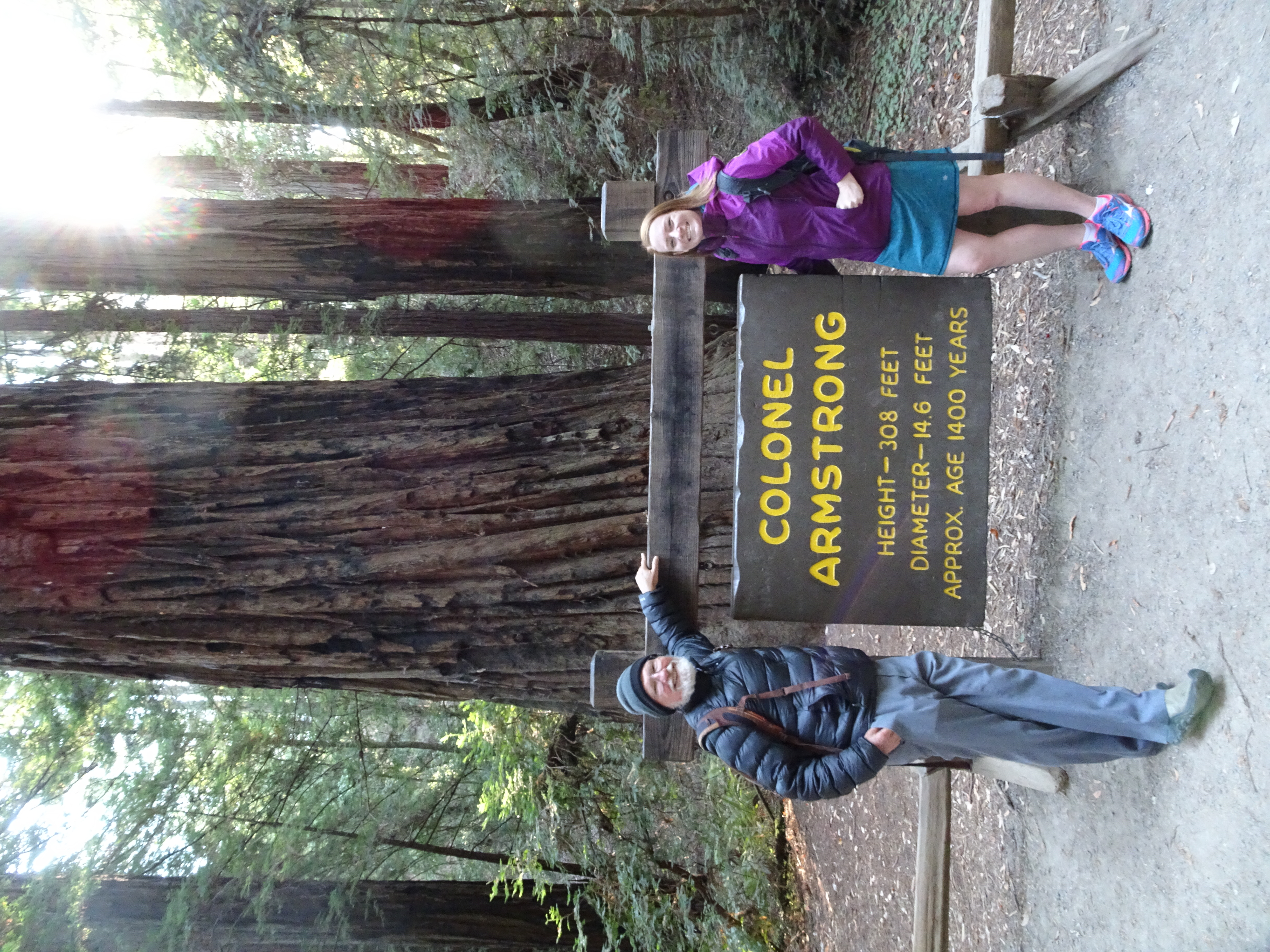
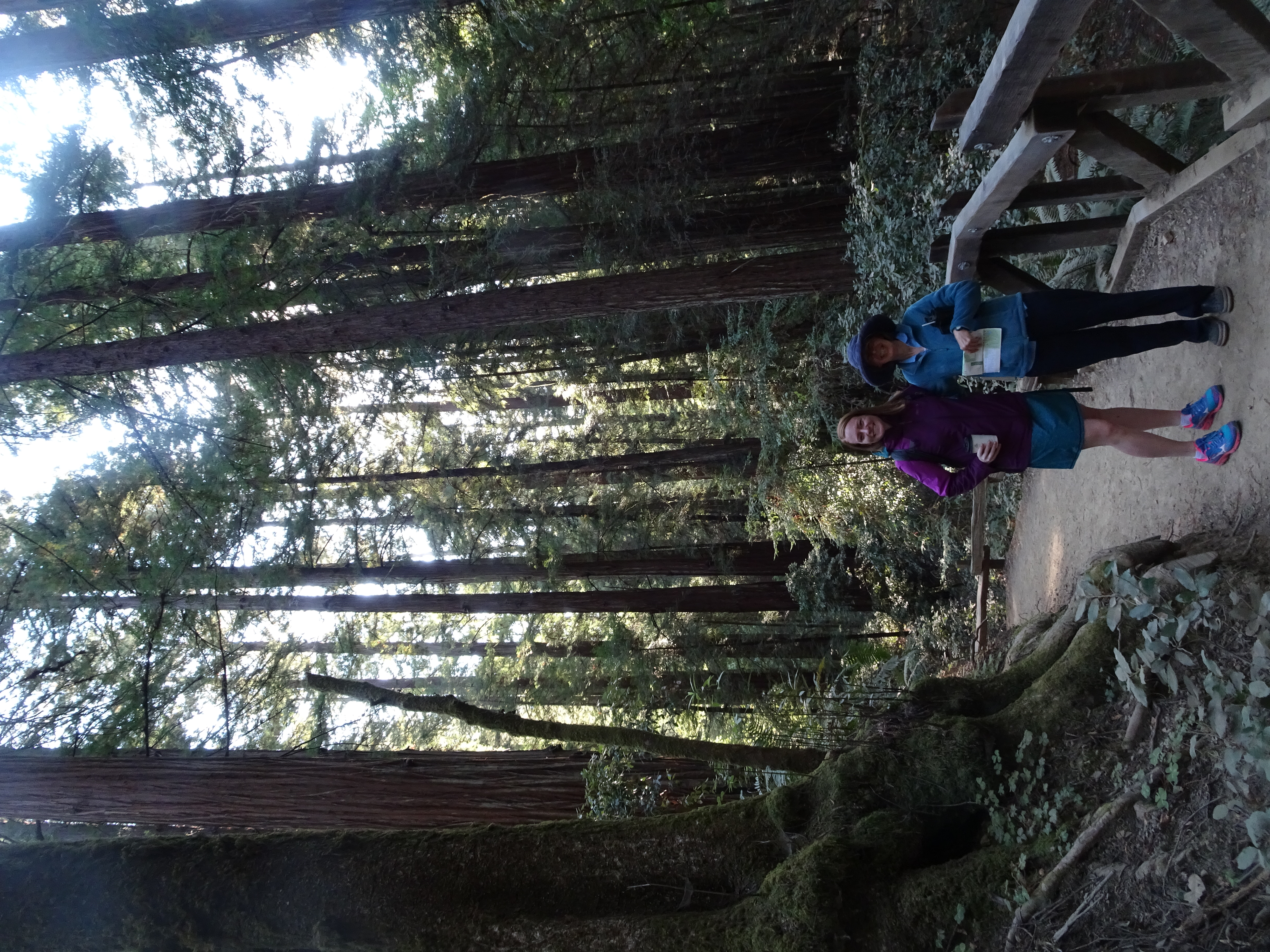
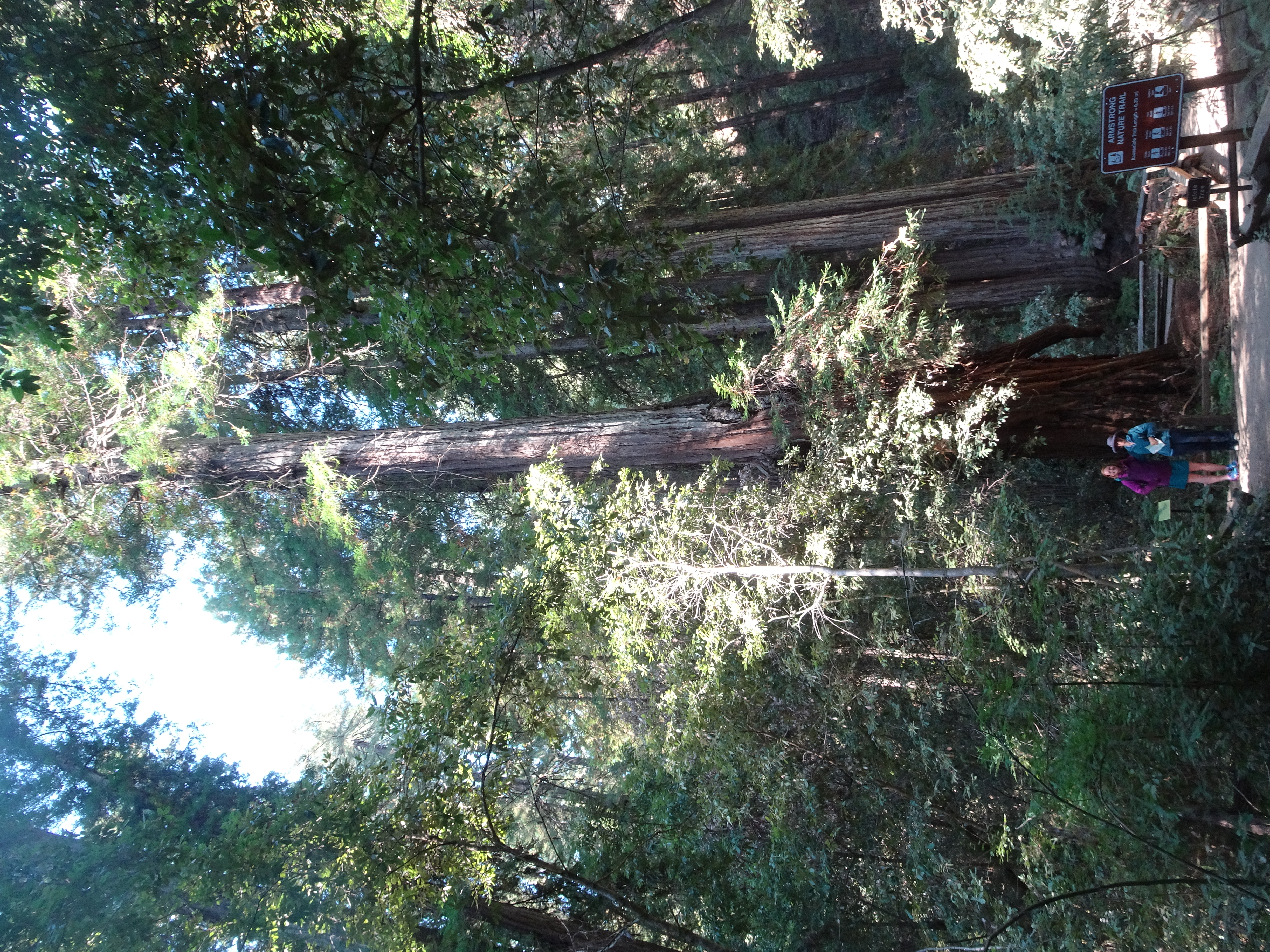
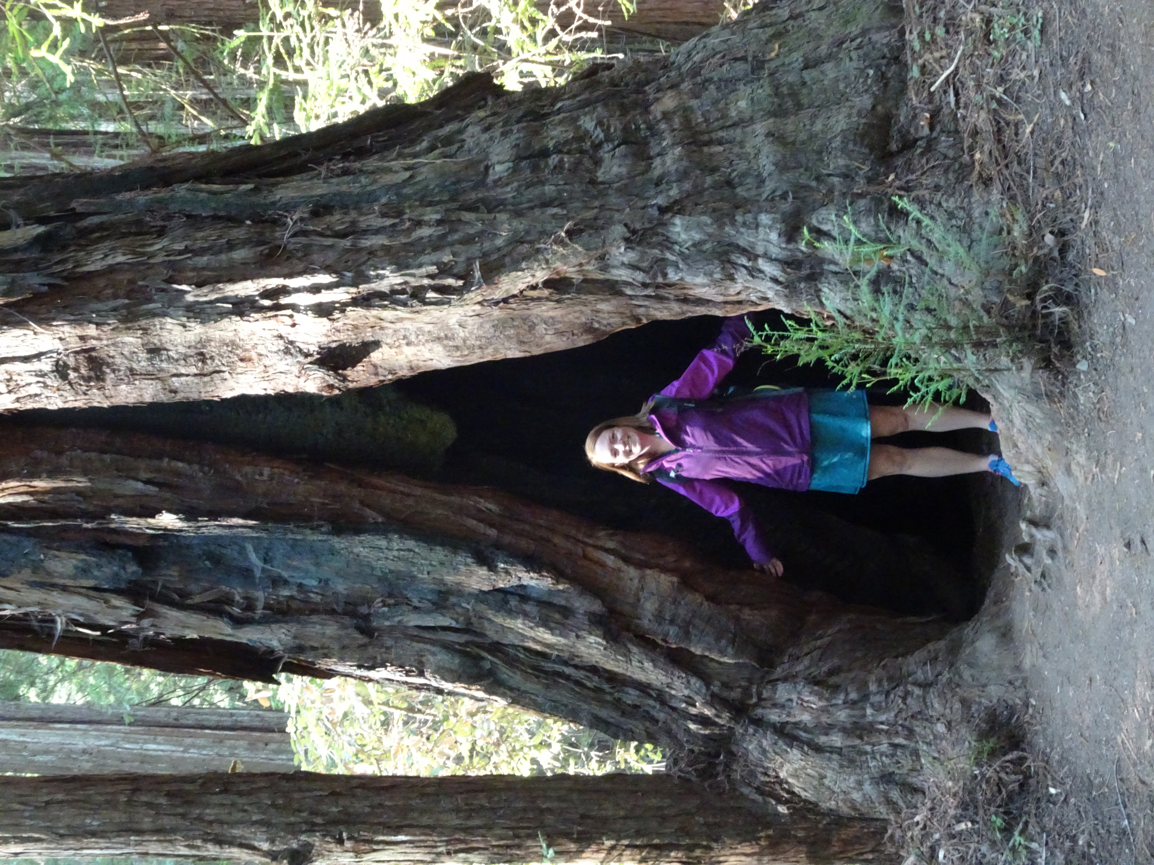
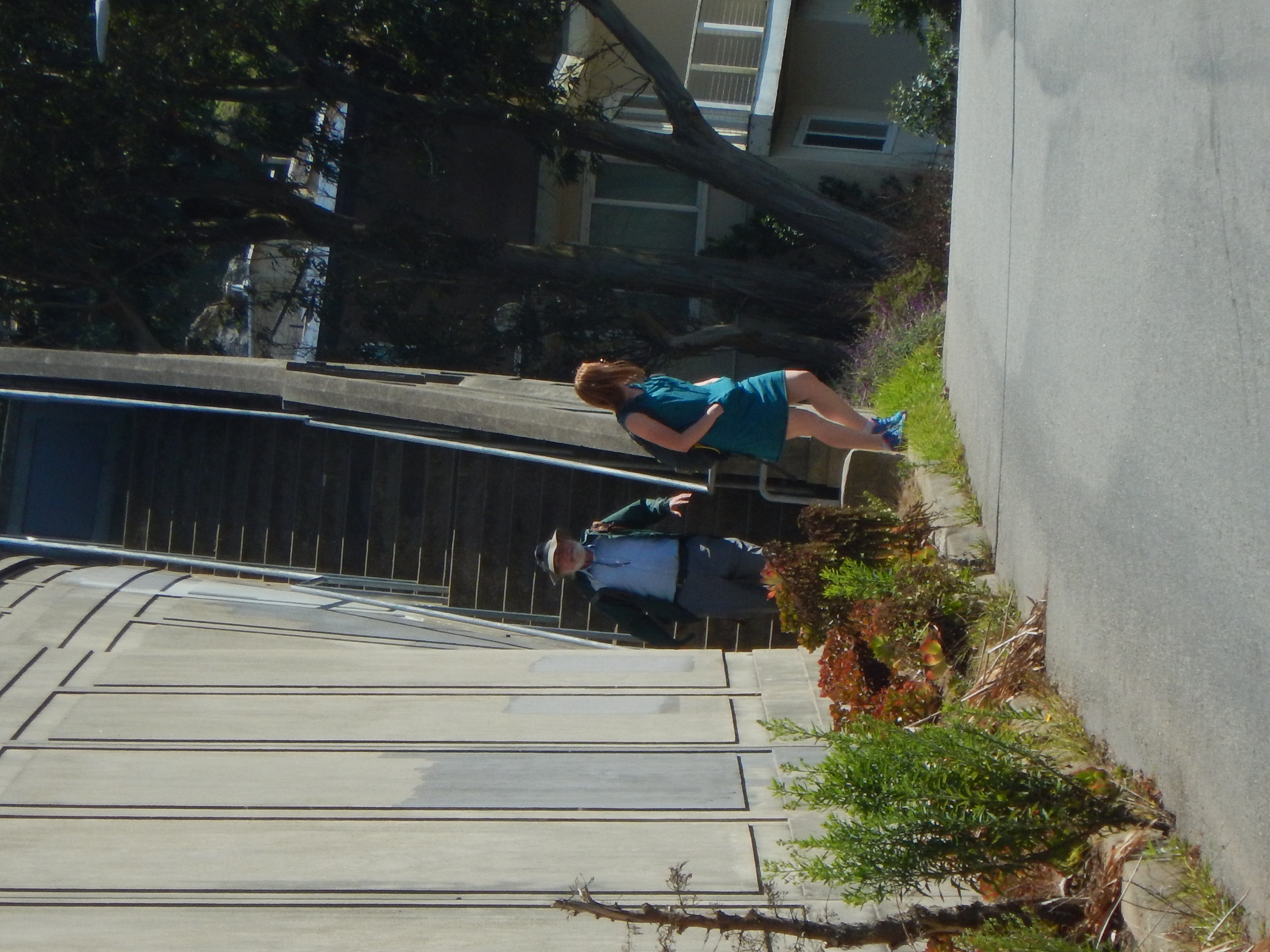
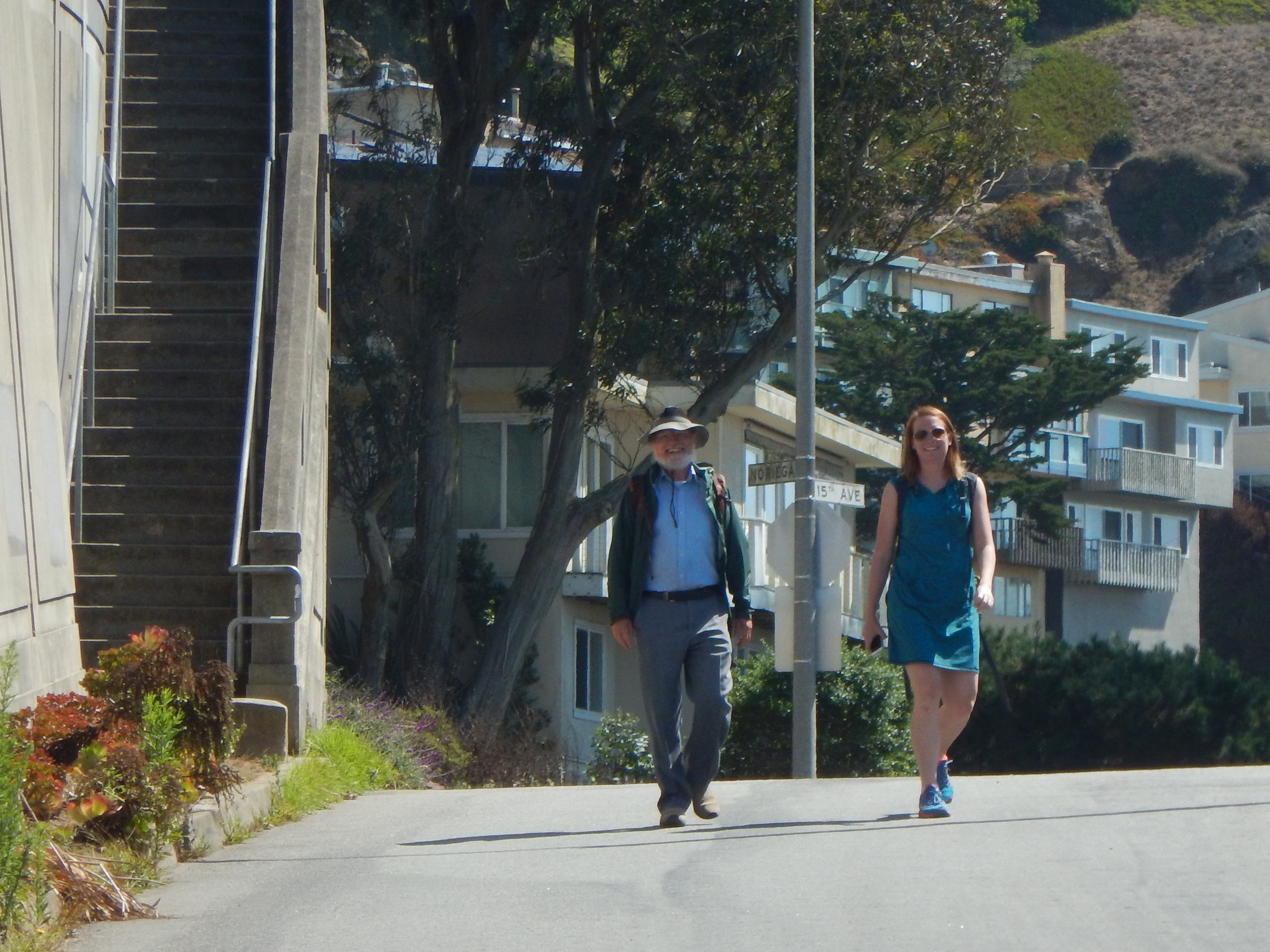
Summary: Visited Armstrong Woods where we walked among the redwood trees. Next we drove to San Francisco for lunch at Marnee Thai restaurant with a stop for sesame seed balls at TC Pastry, after which we walked up the Mosaic Stairway from the Sea to the Stars leading to the Grandview Park. Finally we dropped Molly off at the San Francisco Airport.
Diary:
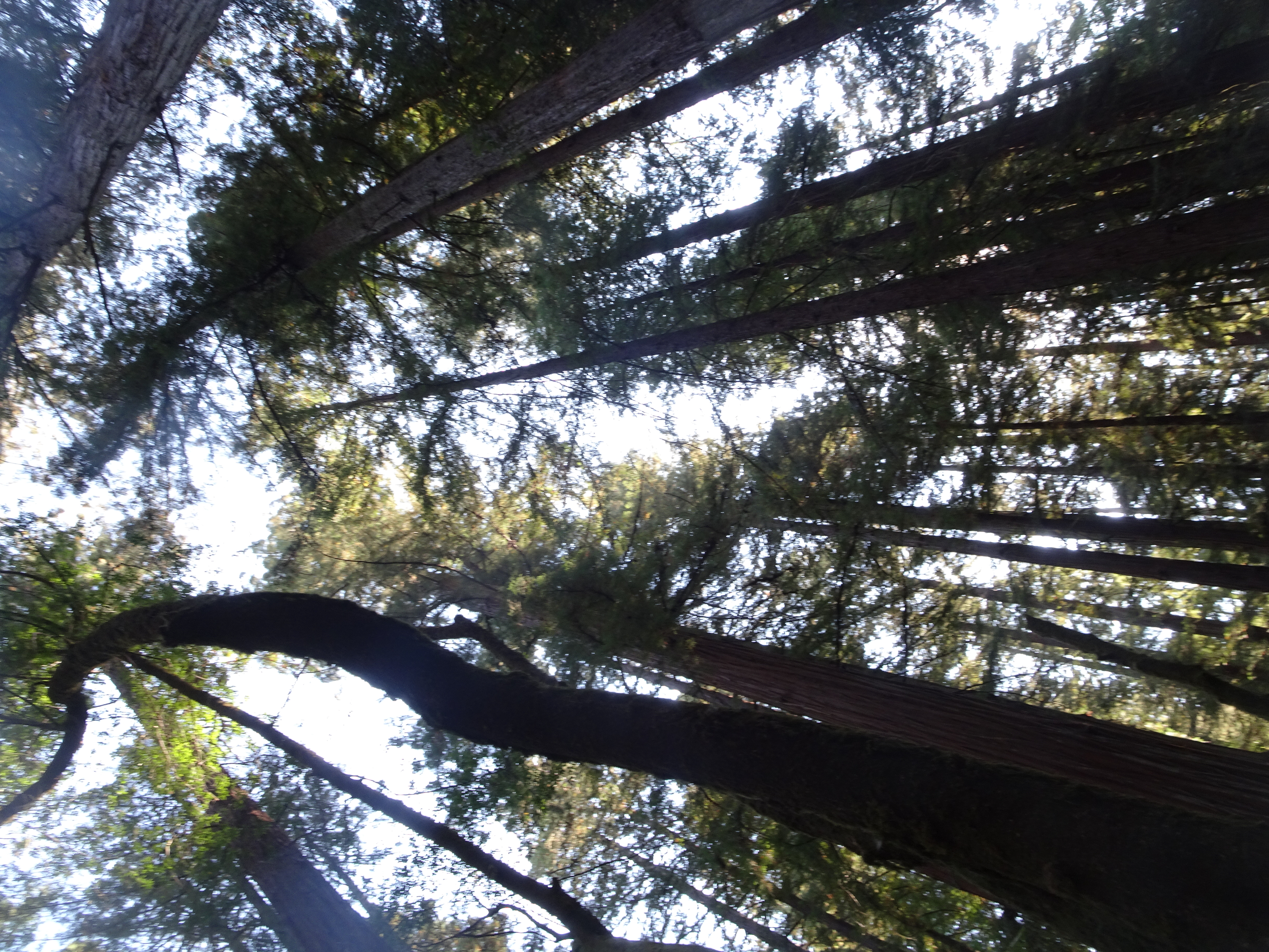
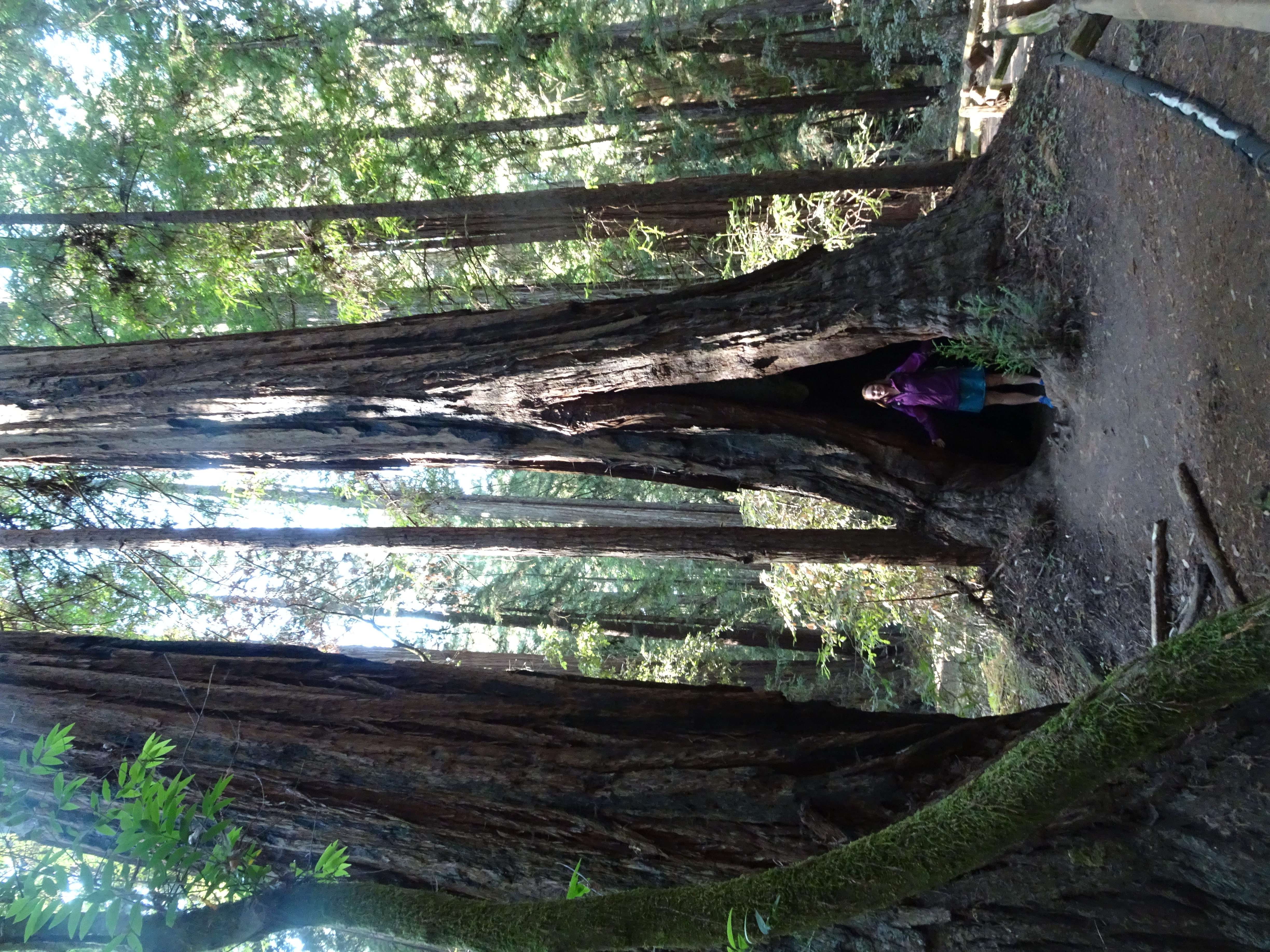
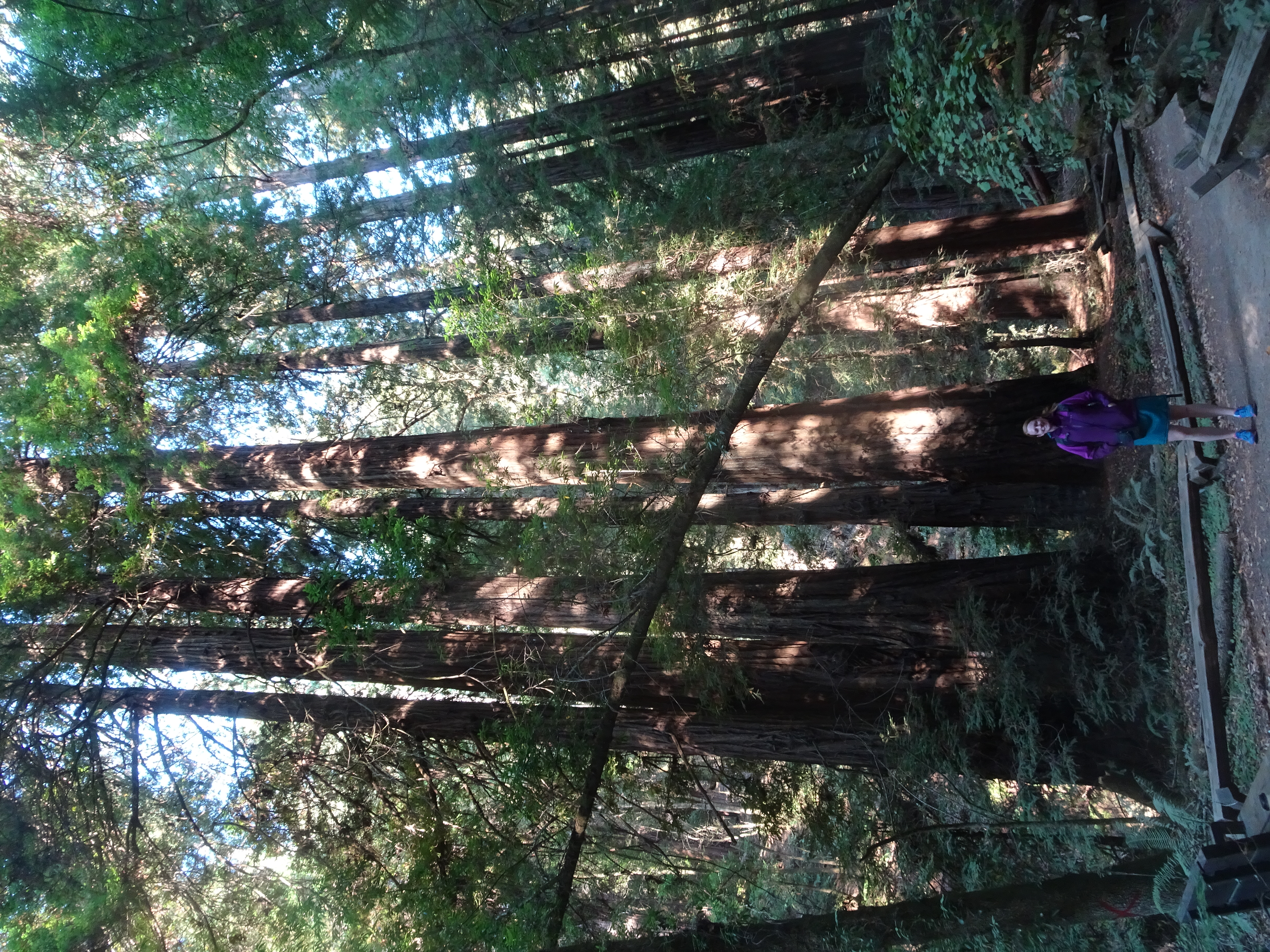
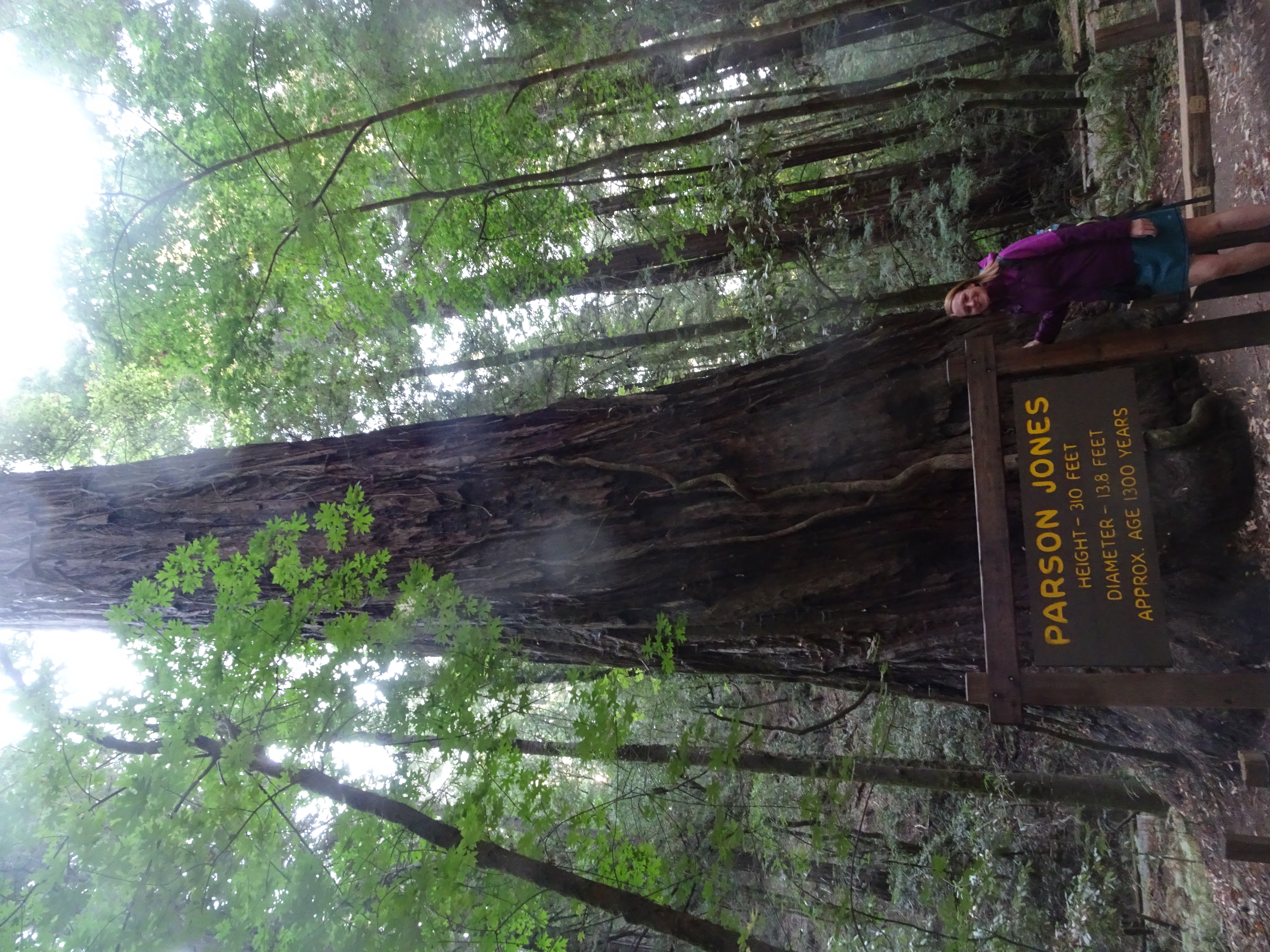
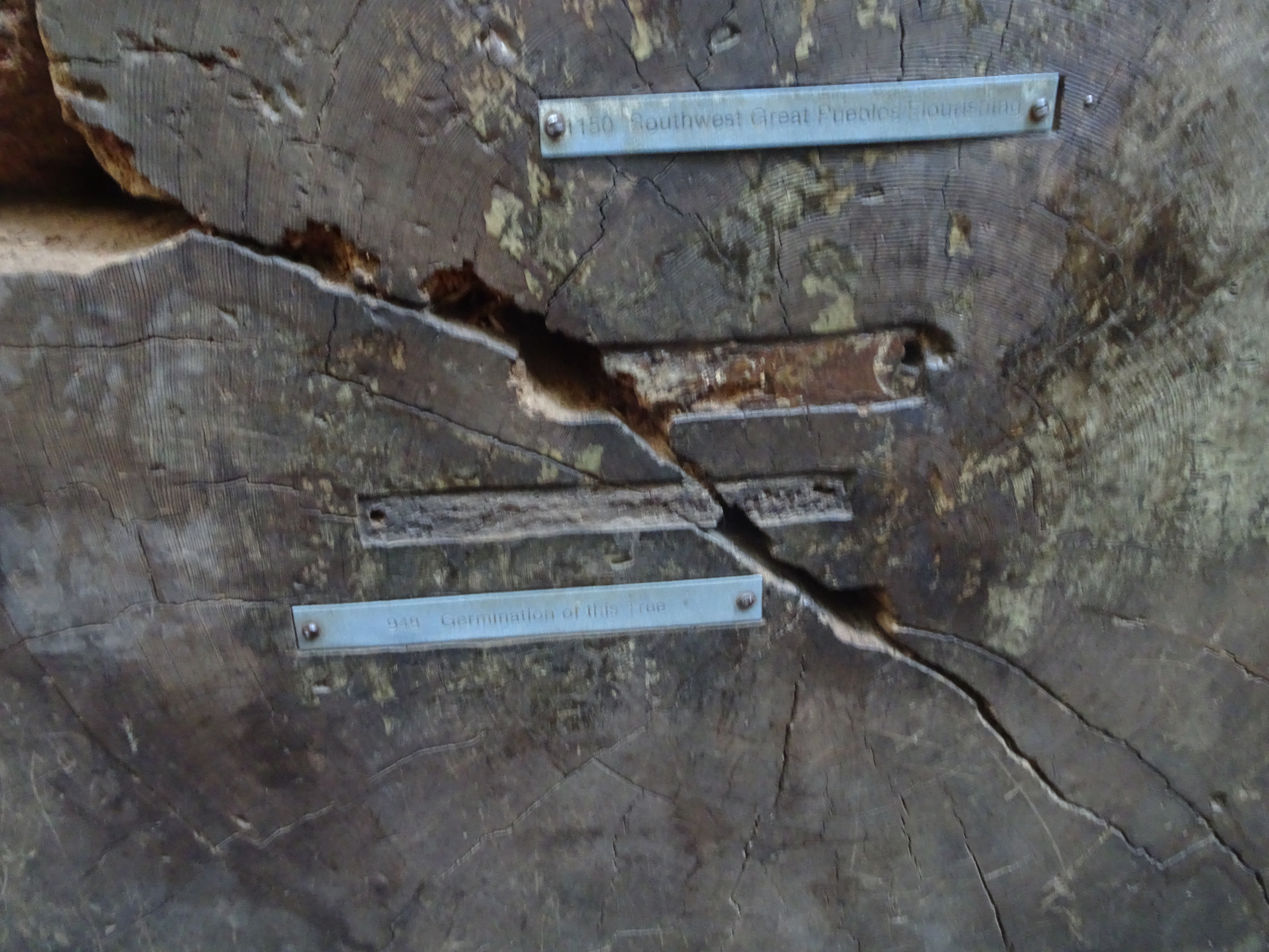
We originally planned on going to Muir Woods because Molly wanted to walk among the redwoods, but the new reservation system there ruled that out. Then we realized an even better redwood forest was Armstrong Woods which is near Guerneville, so we drove there, parked at the wilderness center, and walked into the woods. Beautiful!
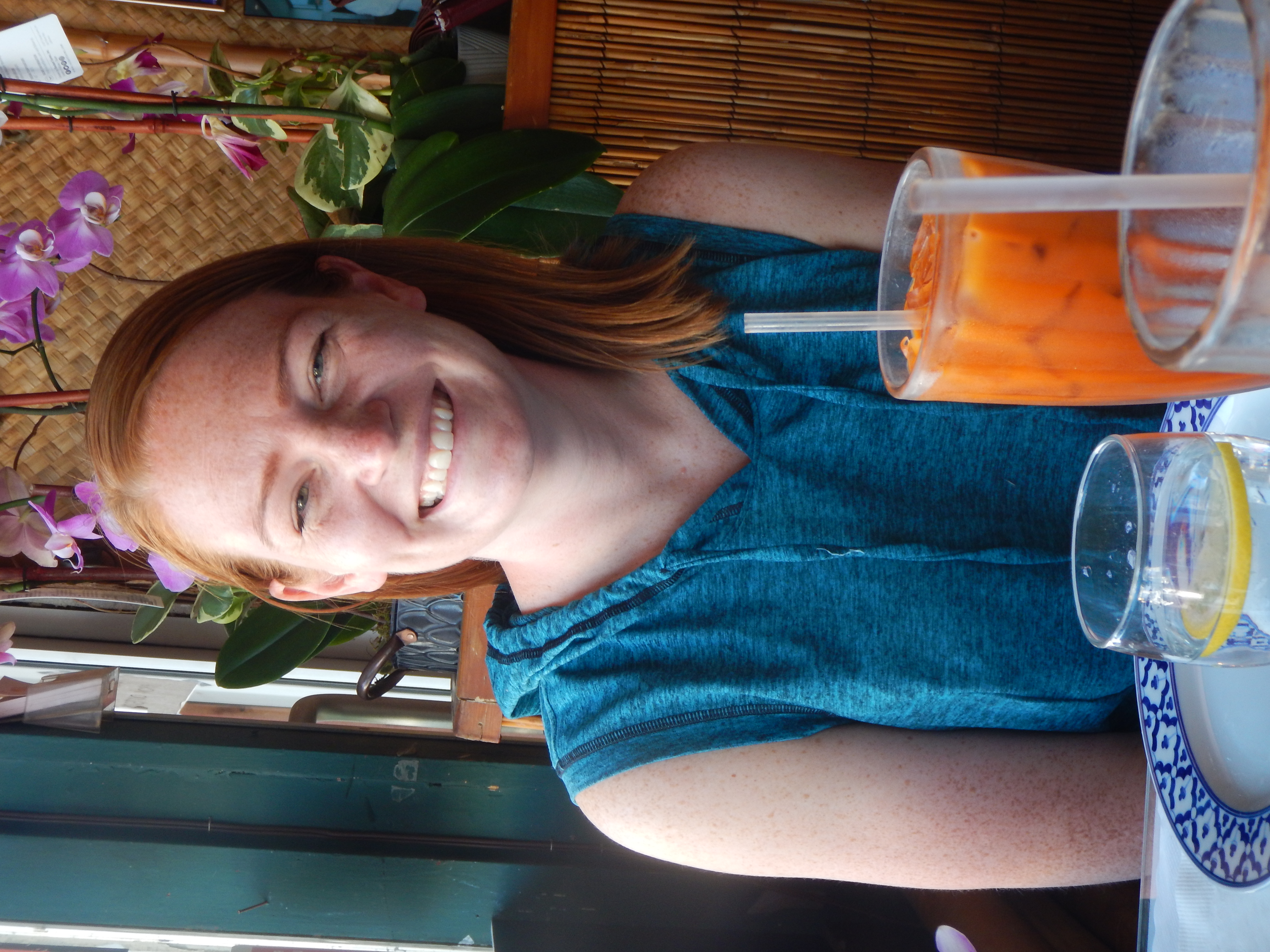
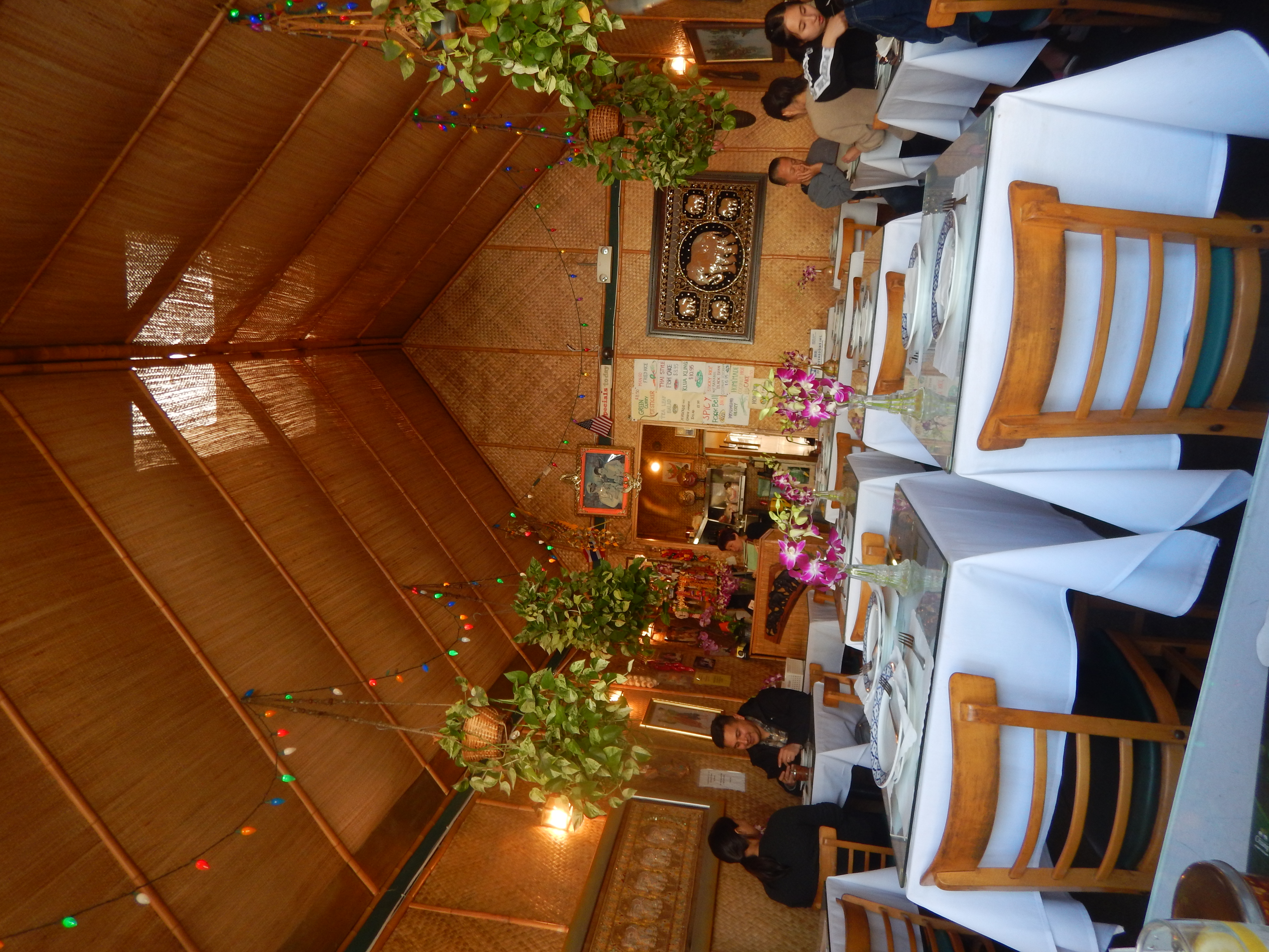
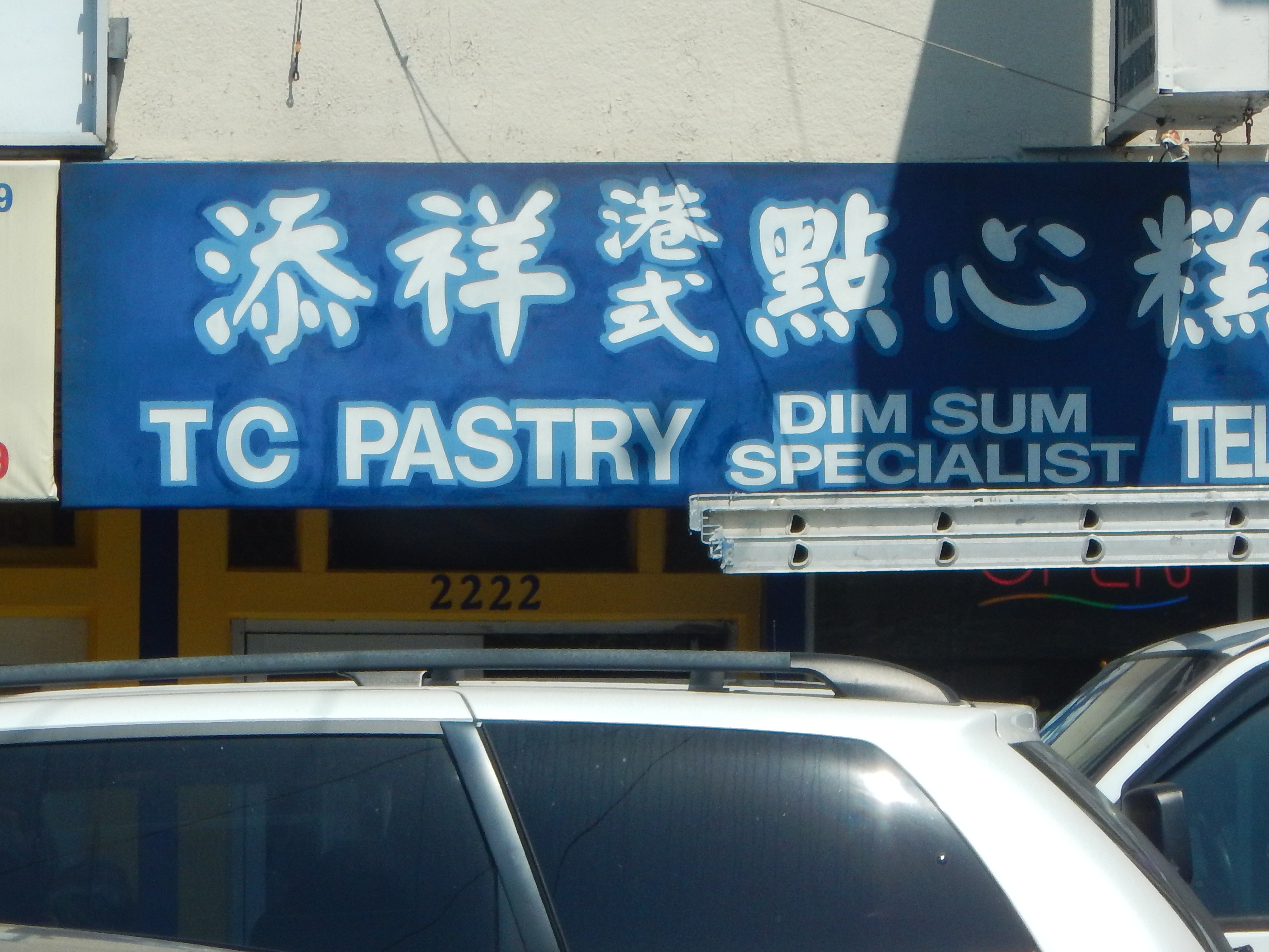
Leaving Armstrong Woods, we then drove to one of our favorite restaurants in San Francisco: Marnee Thai. Molly remembered that we had taken her parents, Bonnie and Larry, there years ago. Bob particularly likes it because it is right across from TC Pastry where he gets one of his favorite desserts - sesame seed balls. Although Marnee Thai was nearly empty when we showed up at 11:30 am, it quickly filled to near capacity.
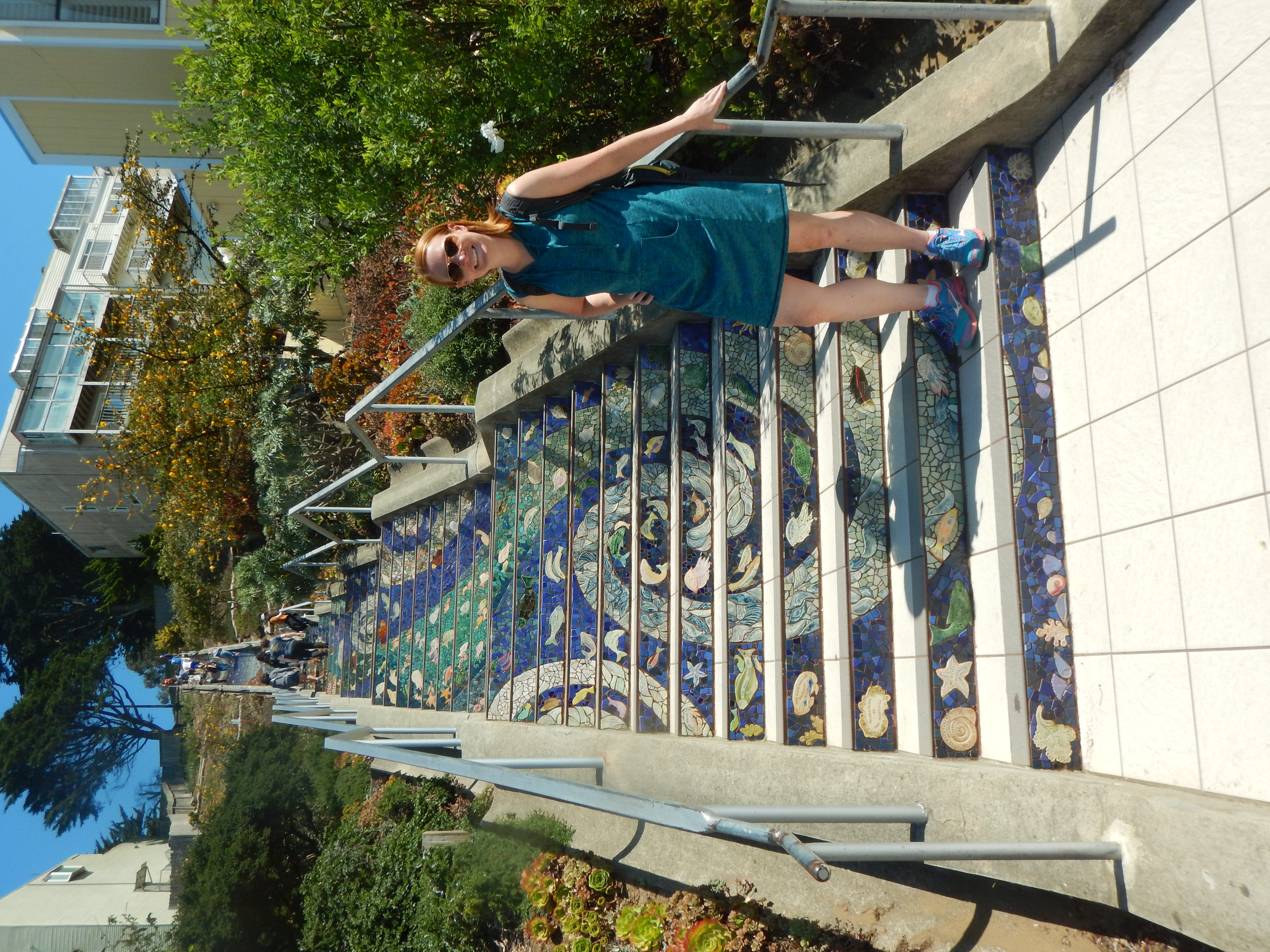
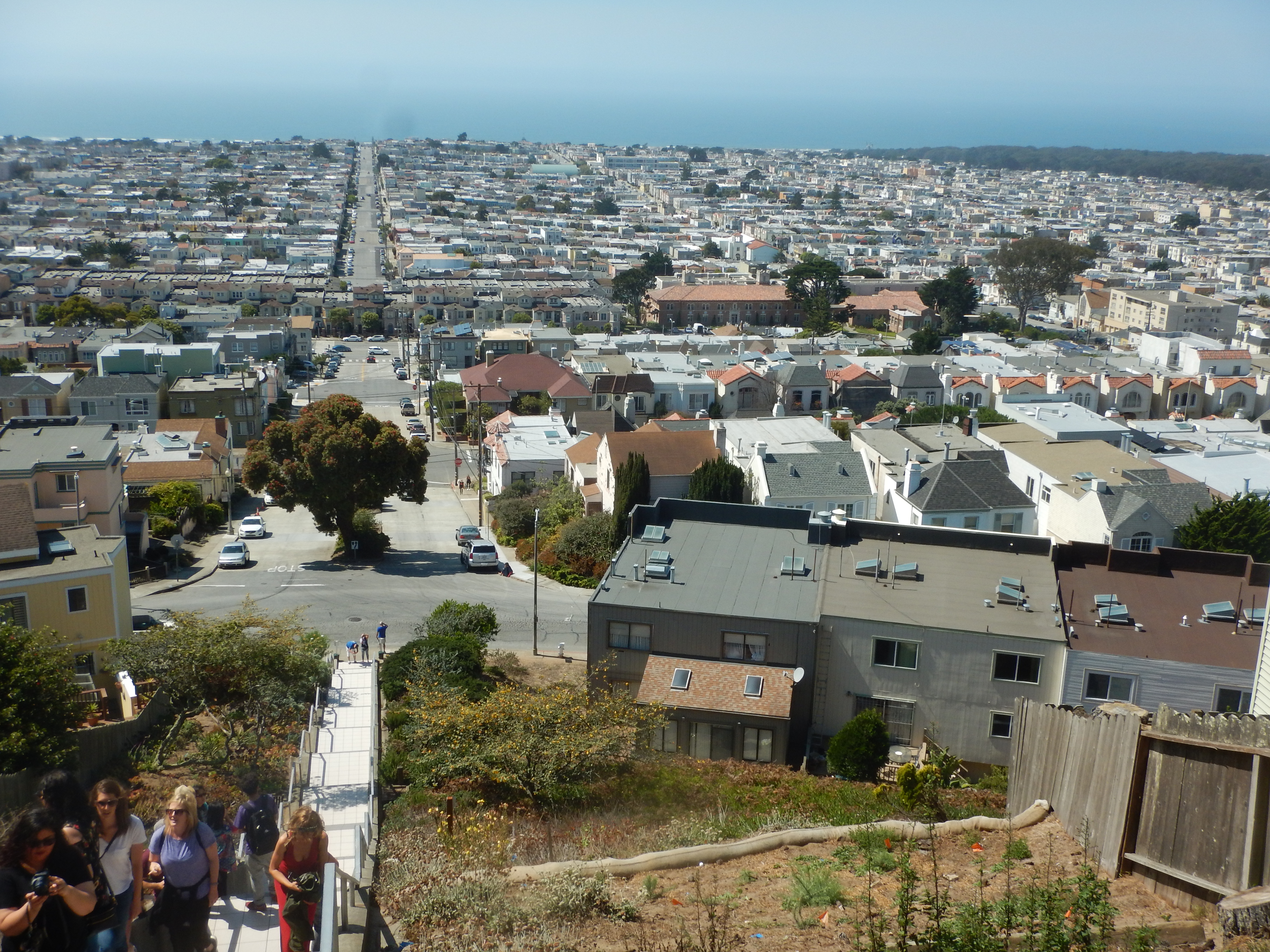
After lunch and sesame seed balls, we hopped in the car (Bob had found a parking space right near Marnee Thai) and drove to the Mosaic Stairway (where Bob once again found a very nearby parking space). We all began walking up the stairs, but Shirley decided Bob and Molly should be the ones to go all the way to Grandview Park, which has a grand 360 degree view of San Francisco.
The time had come, Molly's plane would be arriving and, coincidentally, a friend of Molly's was arriving at the San Francisco airport just a bit before Molly was scheduled to leave. We drove Molly to the airport and said goodbye. A wonderful visit indeed!
Road Map, Trail Maps and Elevation Profiles
This is the Google map of the roads we followed to Yosemite, Whitney and back.
Road Map:
<
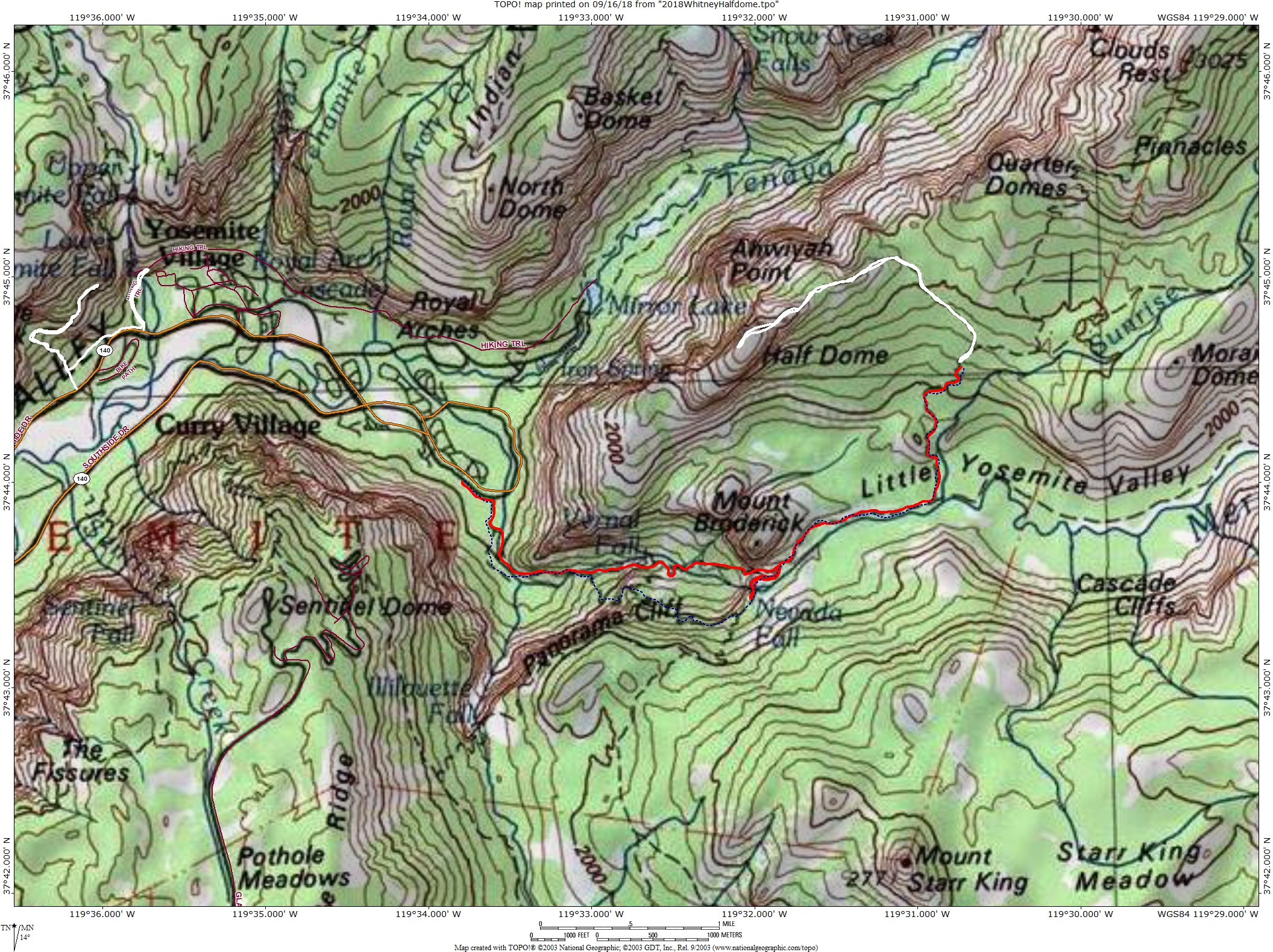
The two trail maps show the following for the Yosemite and Whitney area hiking and backpacking:
Solid white lines: hikes without the backpacks;
Solid red lines: backpacking trips to a higher elevation;
Dashed blue lines: backpacking trips coming back down.
As with all images on this web page, click on the map to see the full size, full resolution map.
Yosemite Hiking Map - excludes the hike in Tuolumne Meadows:
Whitney Hiking Map:
The following day by day elevation profiles show the approximate changes in elevation as we hiked or backpacked each day. The distances are almost always underestimated.
Day 2: Hike to base of Lower Yosemite Falls, then part of the way up the Upper Yosemite Falls trail.
Day 3: Backpack to Little Yosemite Valley.
Day 4: Hike to top of Half Dome and back to Little Yosemite Valley Campground.
Day 4: Backback from Little Yosemite Valley Campground back down to car.
Day 5: Hike from Whitney Portal trail head to Lower Pine Lake and back.
Day 6: Backpack from Whitney Portal trail head to Trail Camp.
Day 6: Hike from Trail Camp partway up to Trail Crest and back.
Day 7: Hike from Trail Camp to Whitney Summit and back.
Day 7: Backpack down from Trail Camp to Whitney Portal trail head.
Photos and narrative were contributed by all three of us: Molly, Shirley and Bob
Other Websites
By Bob:
Bob Phillips [phillips bob 27 at yahoo dot com - no spaces]
Santa Rosa, CA
August, 2012


