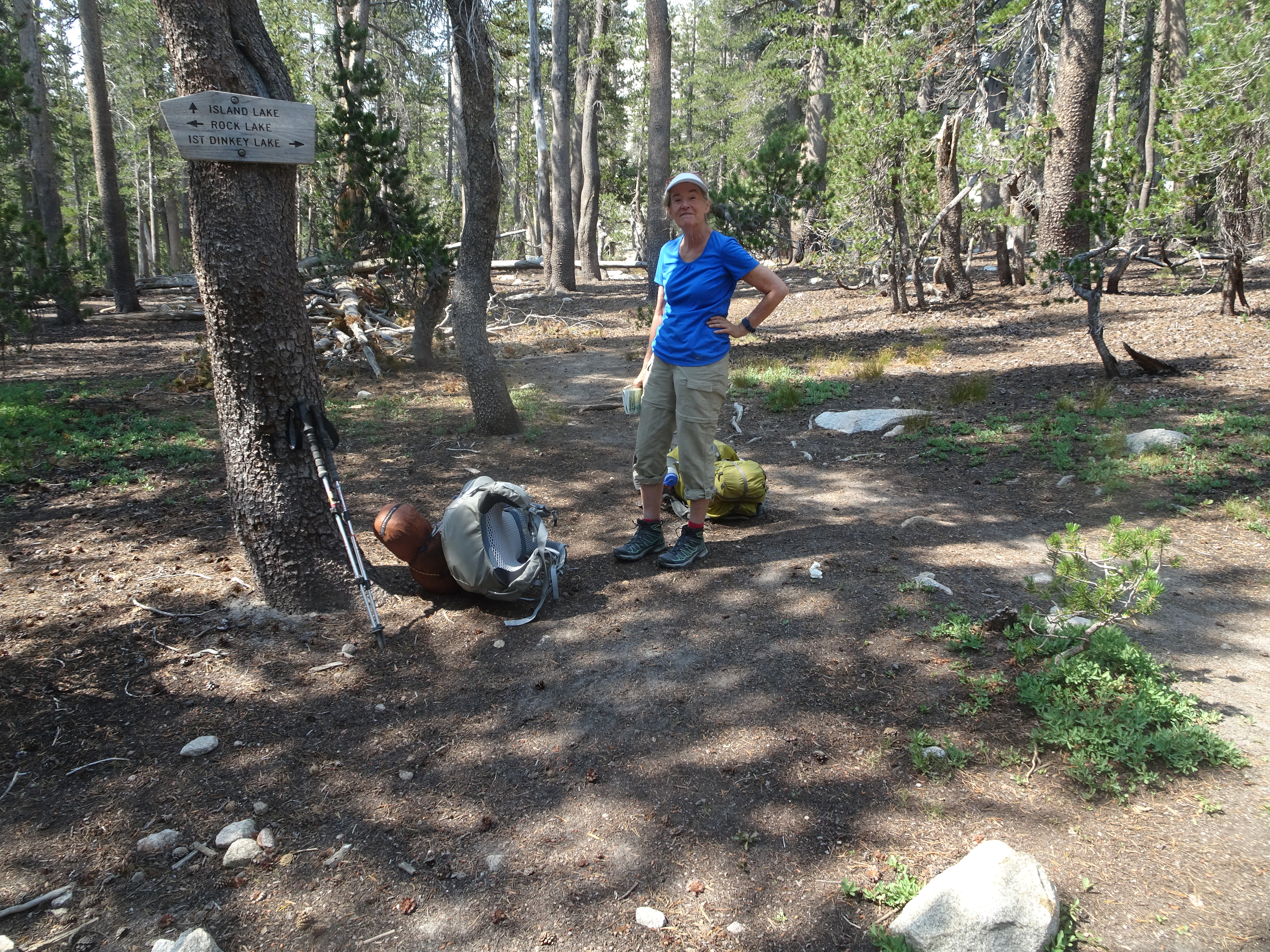
For any of the following Favorite photos, click on the image to bring up the full resolution version. Day by day photos and narrative follow these.
|
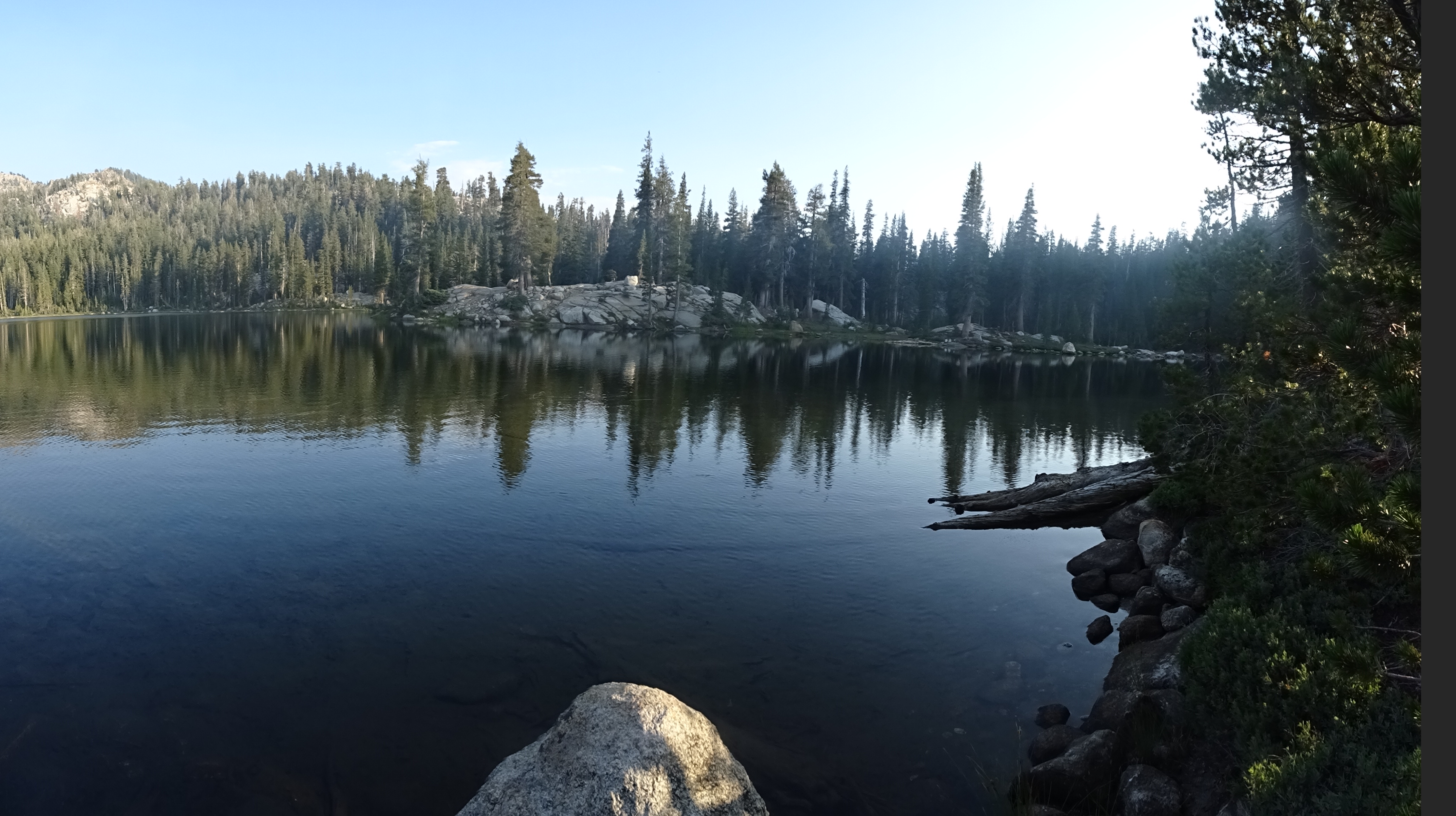
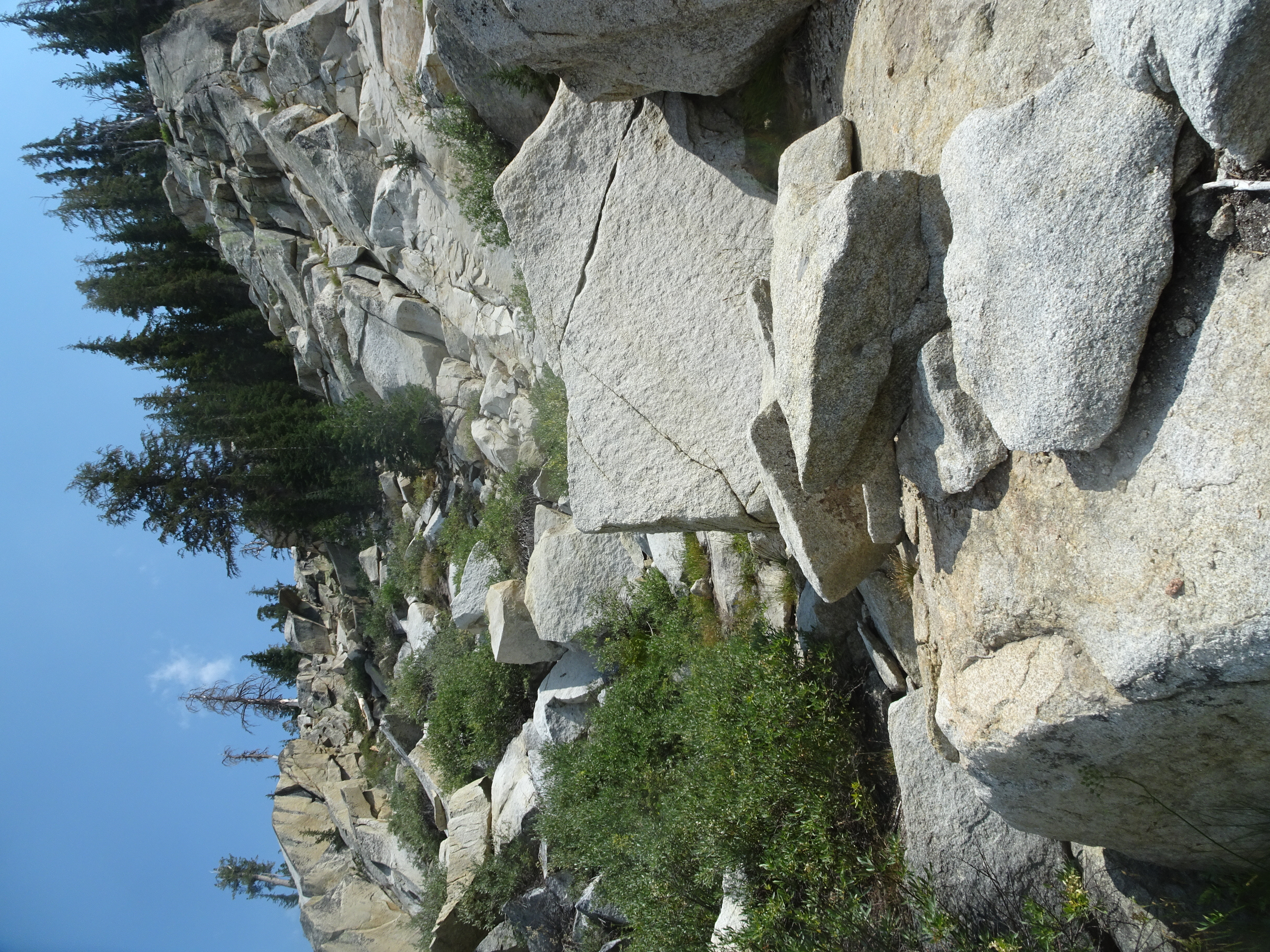
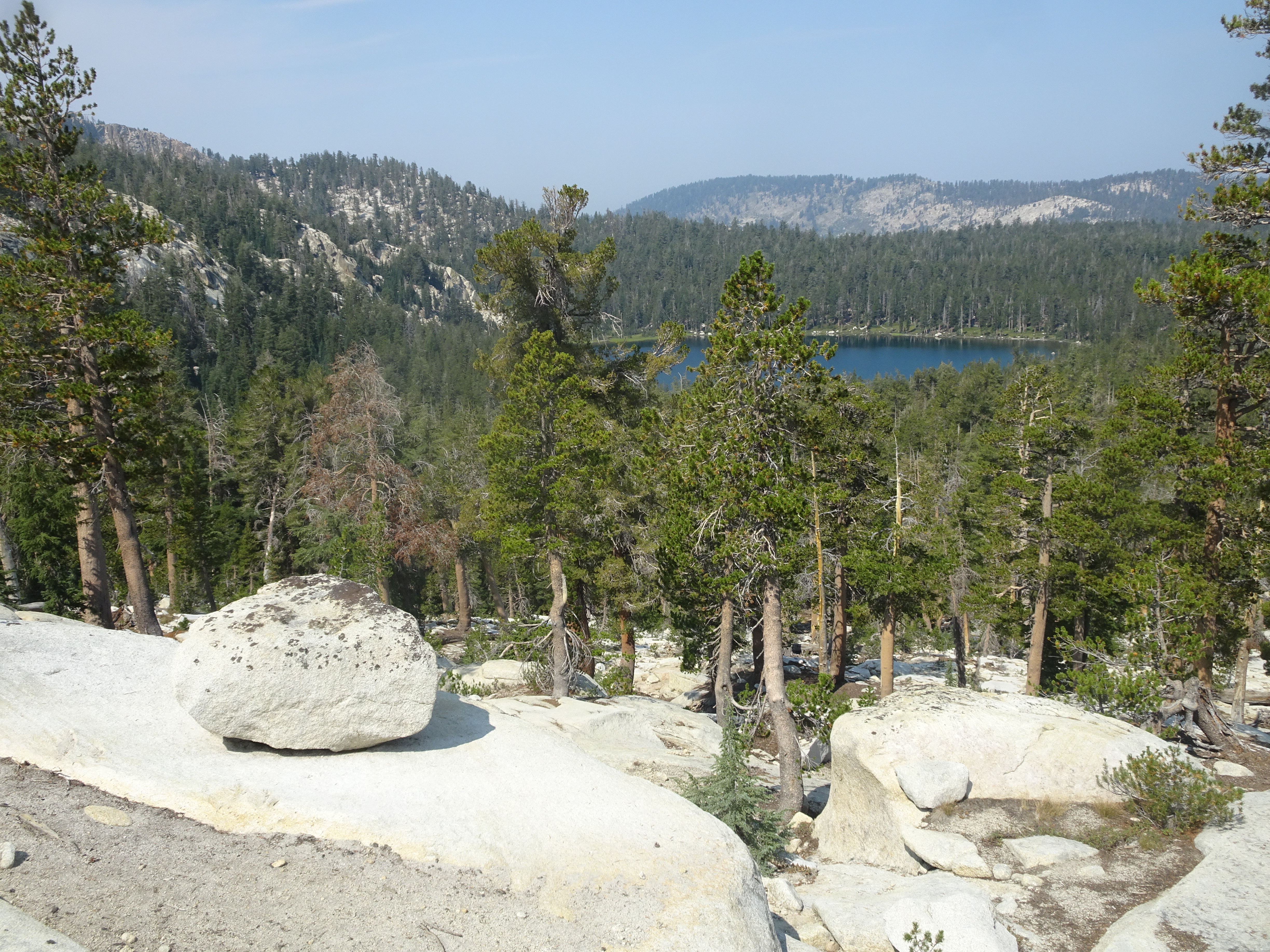
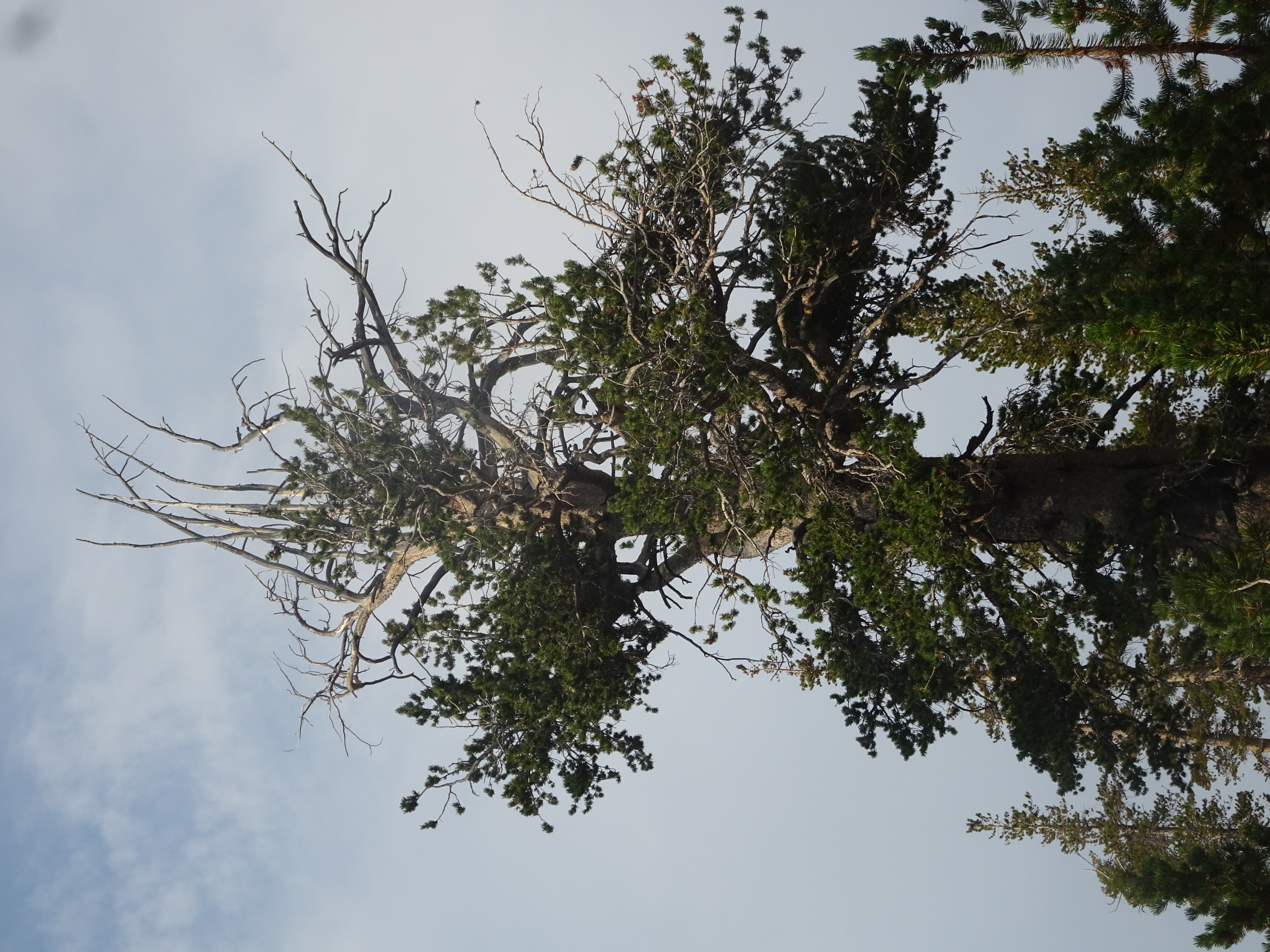
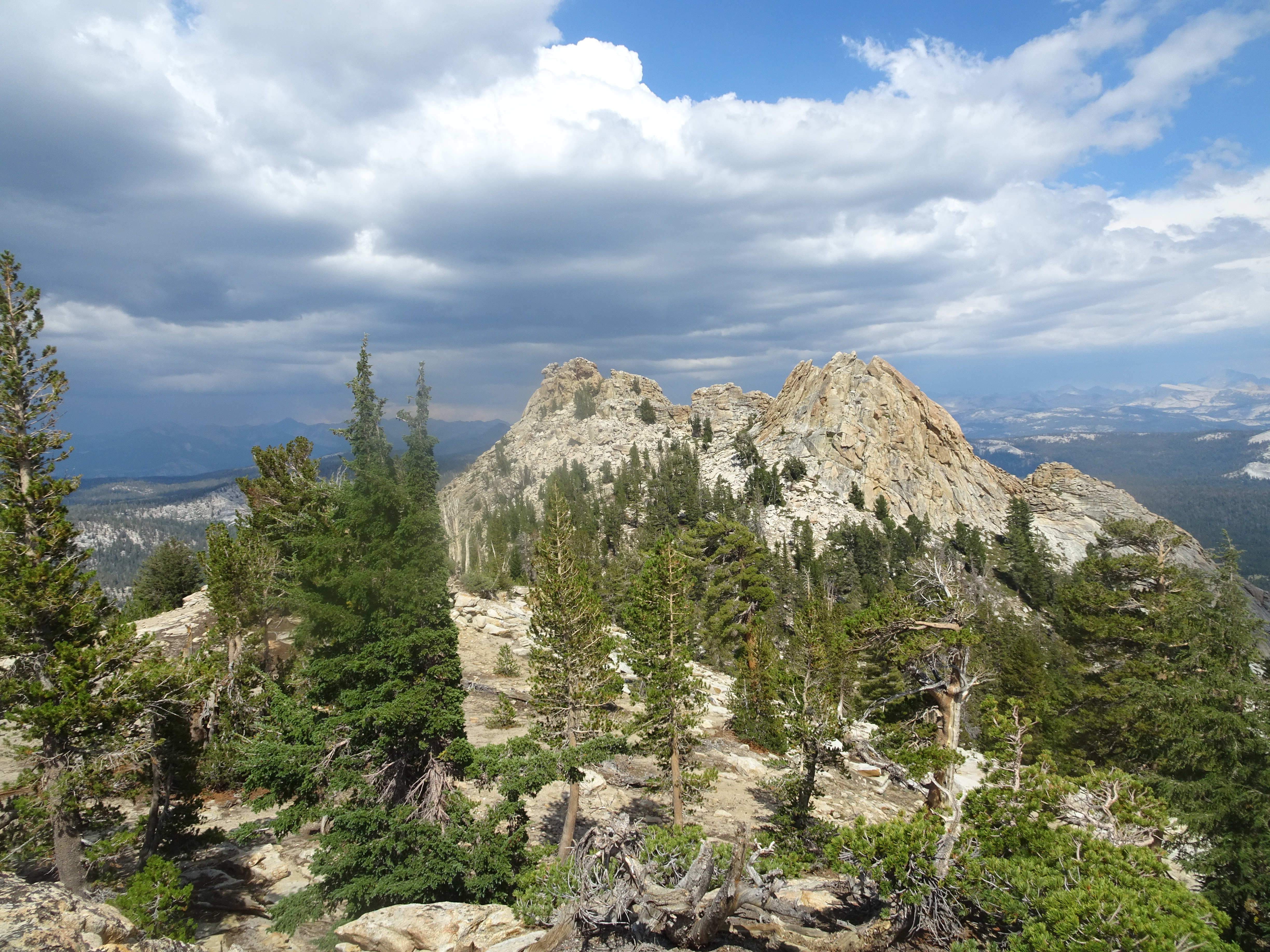
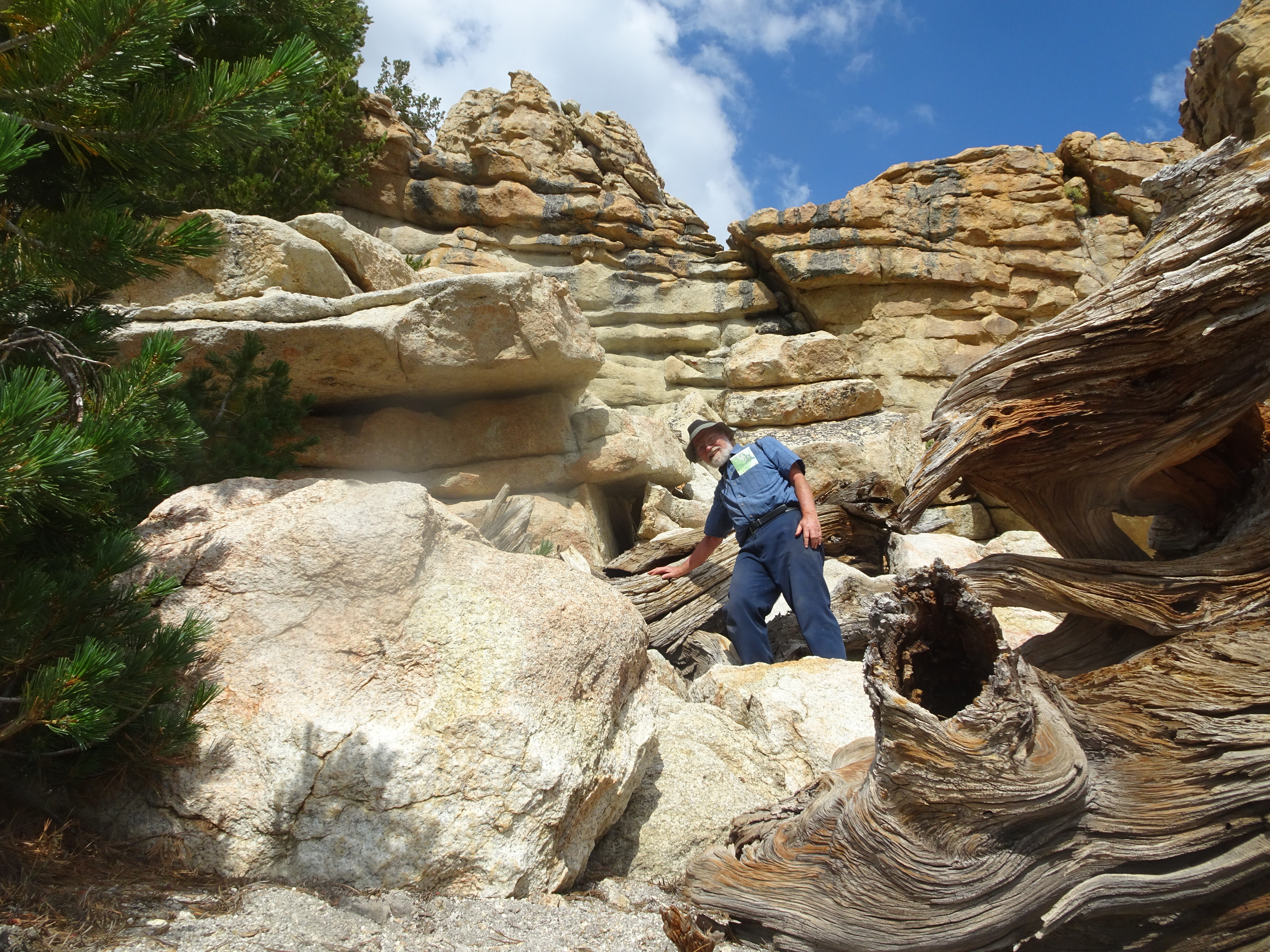
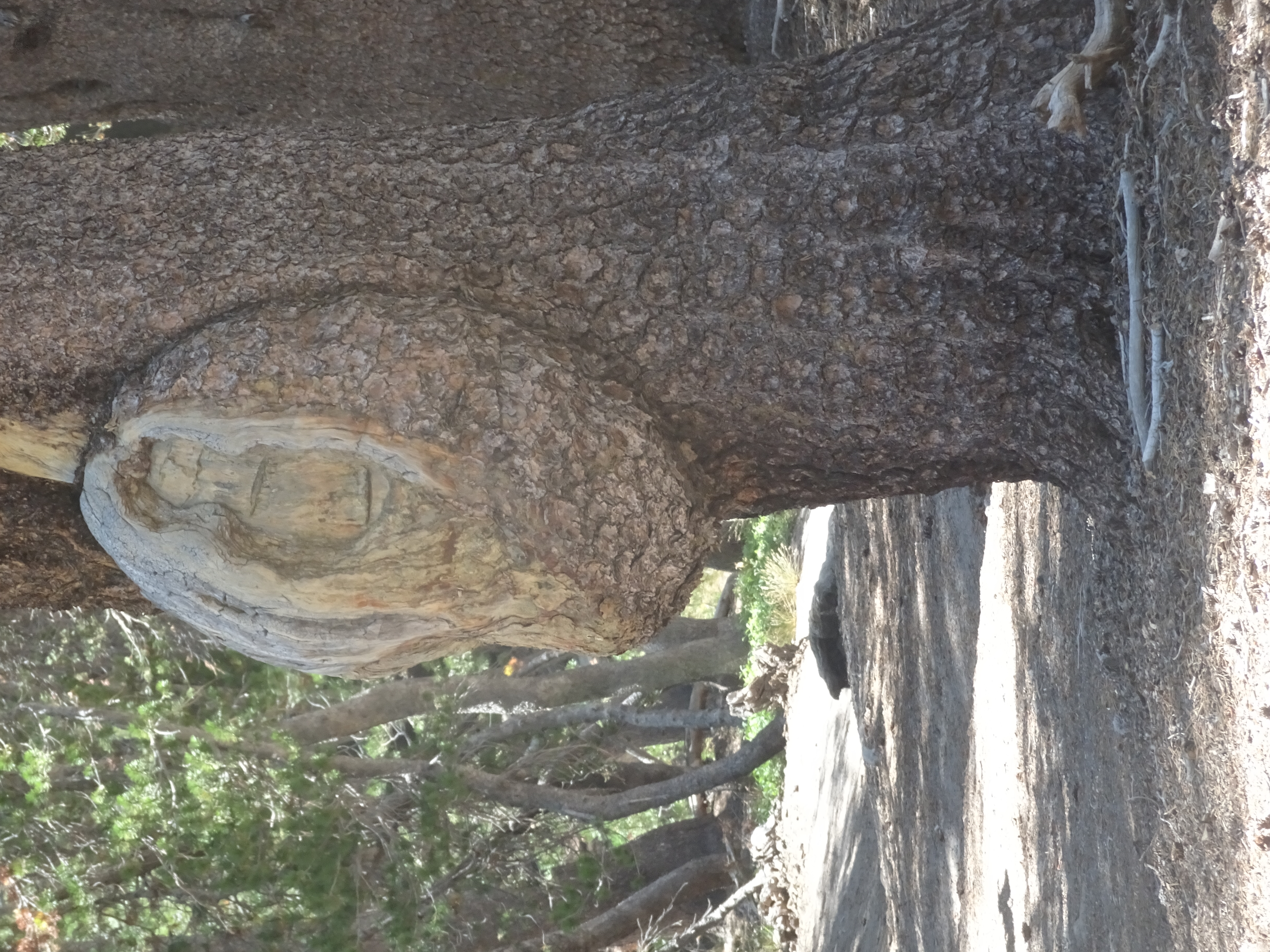
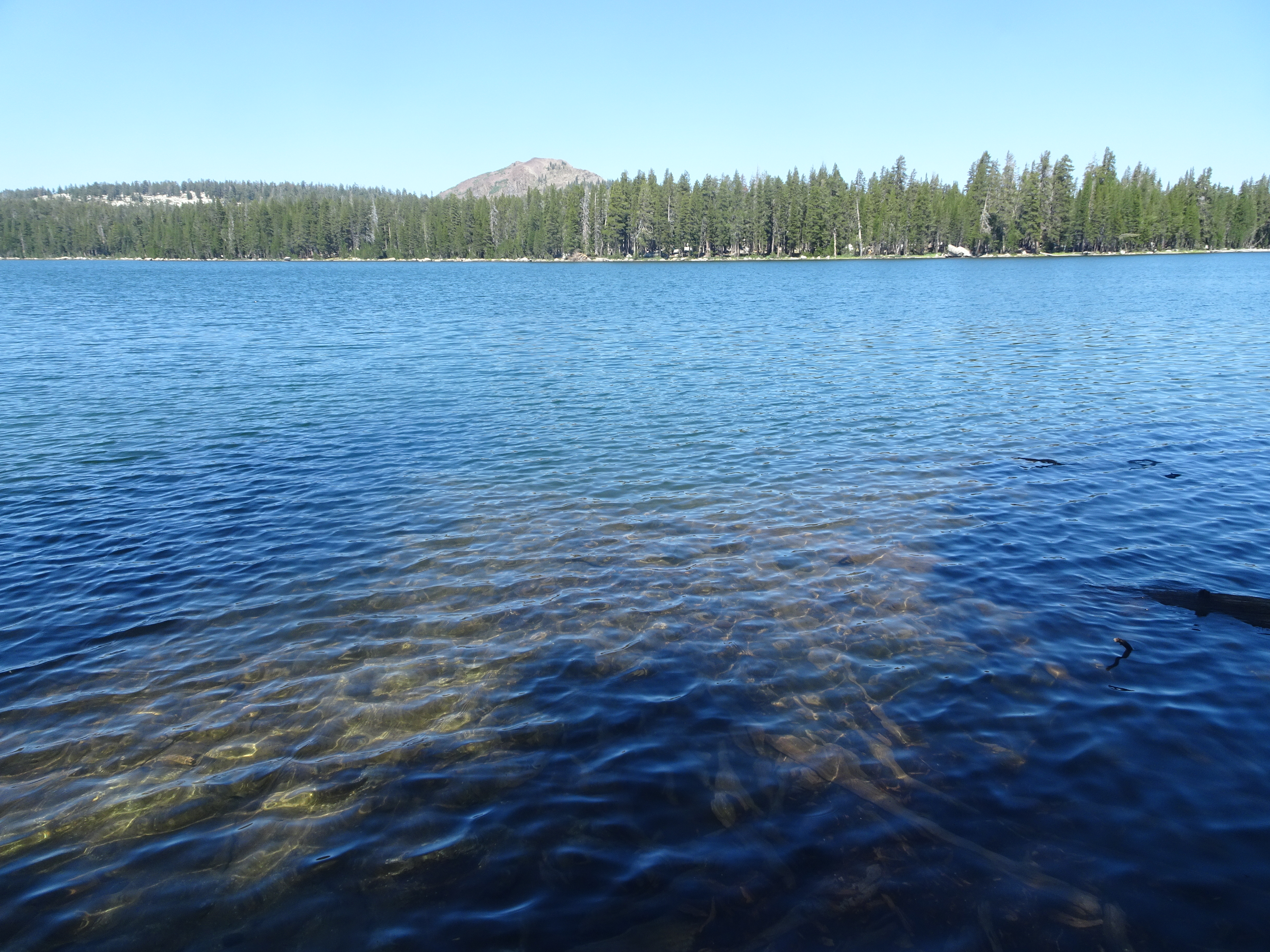
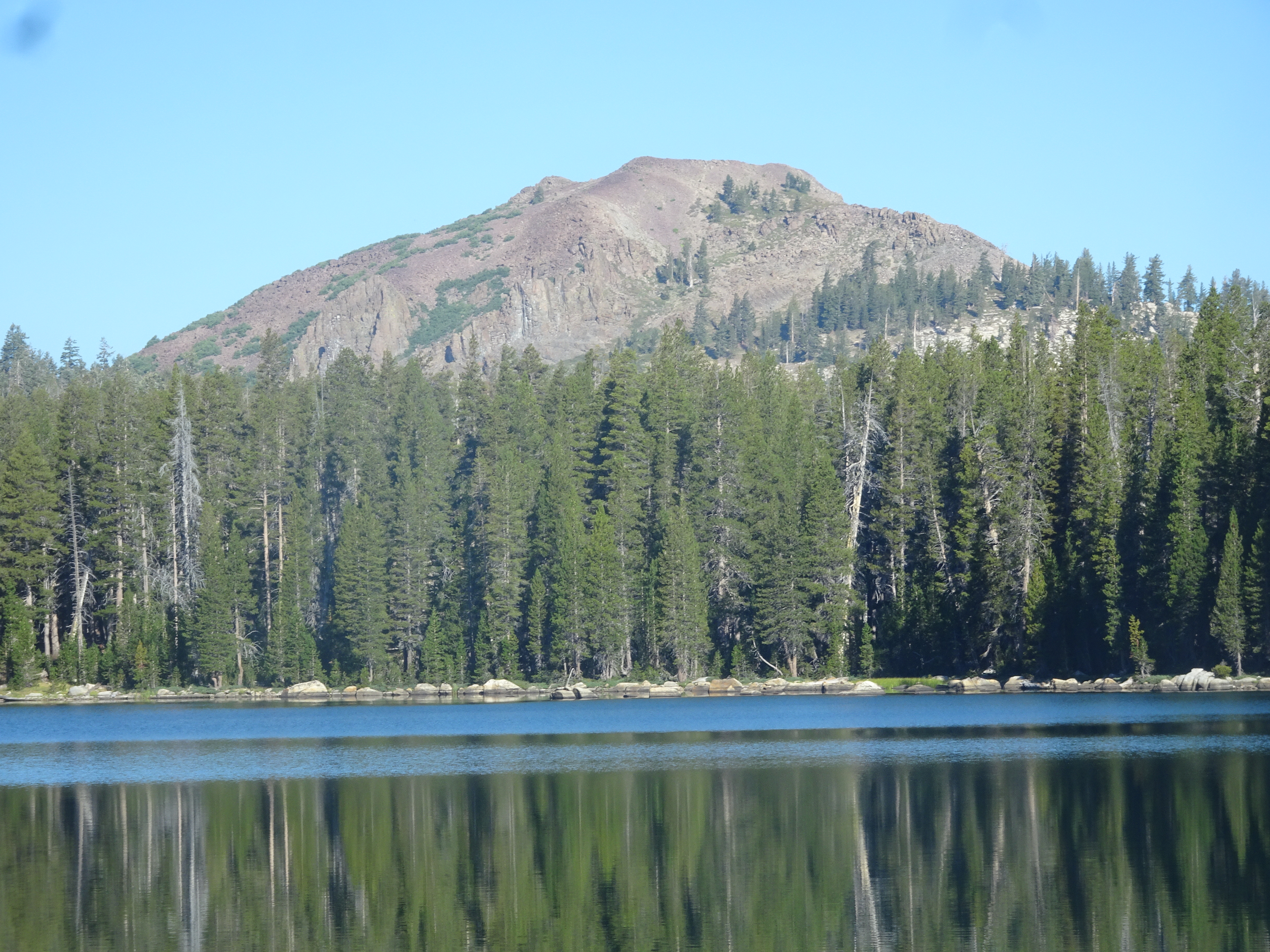
 Dogtooth Peak behind us |
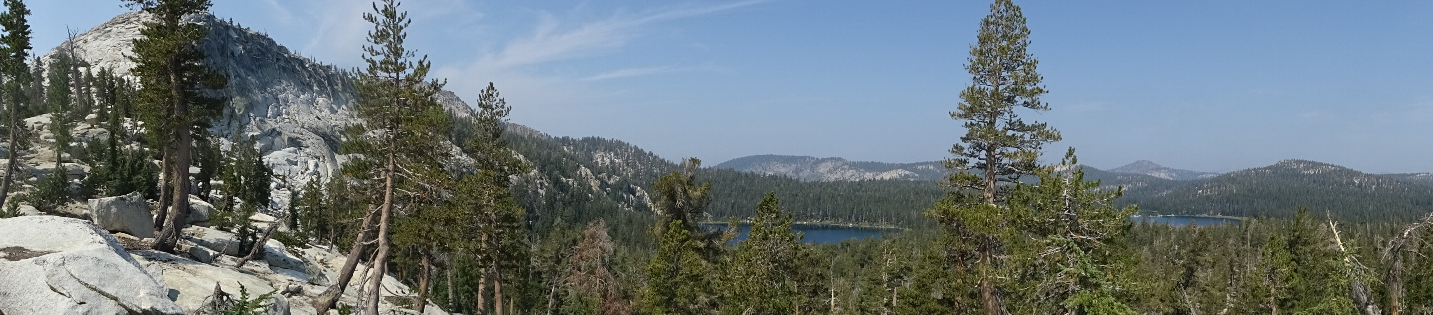
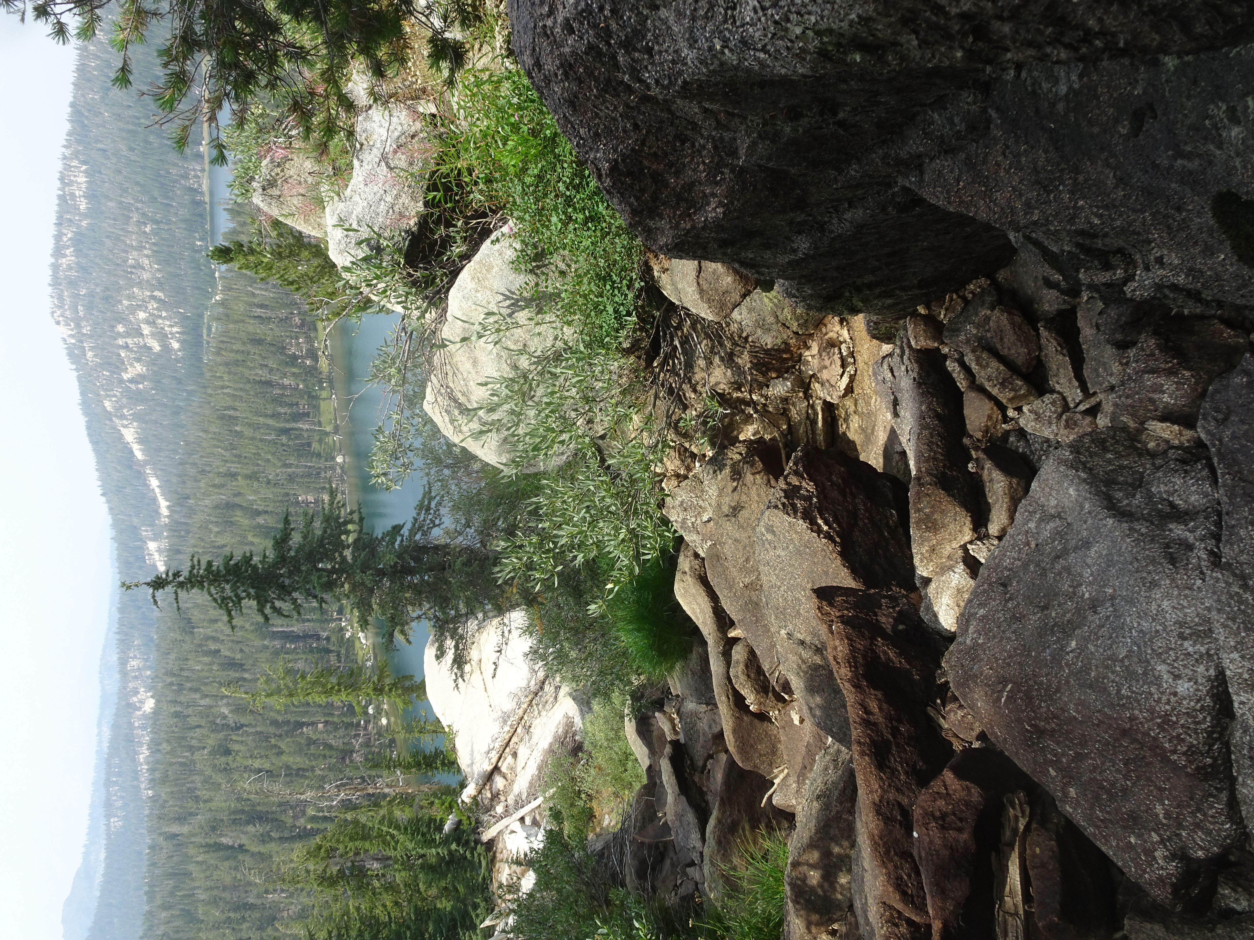
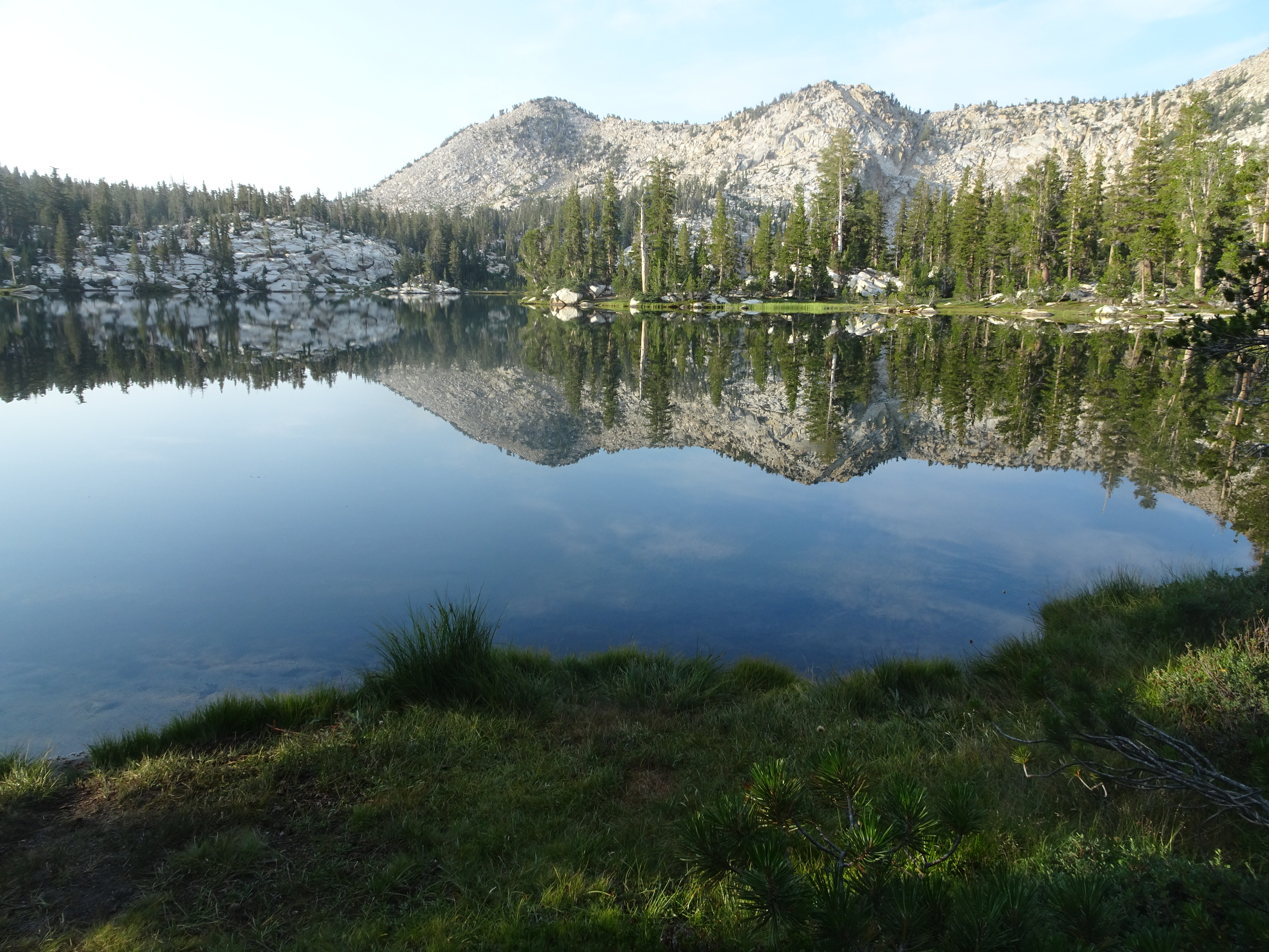
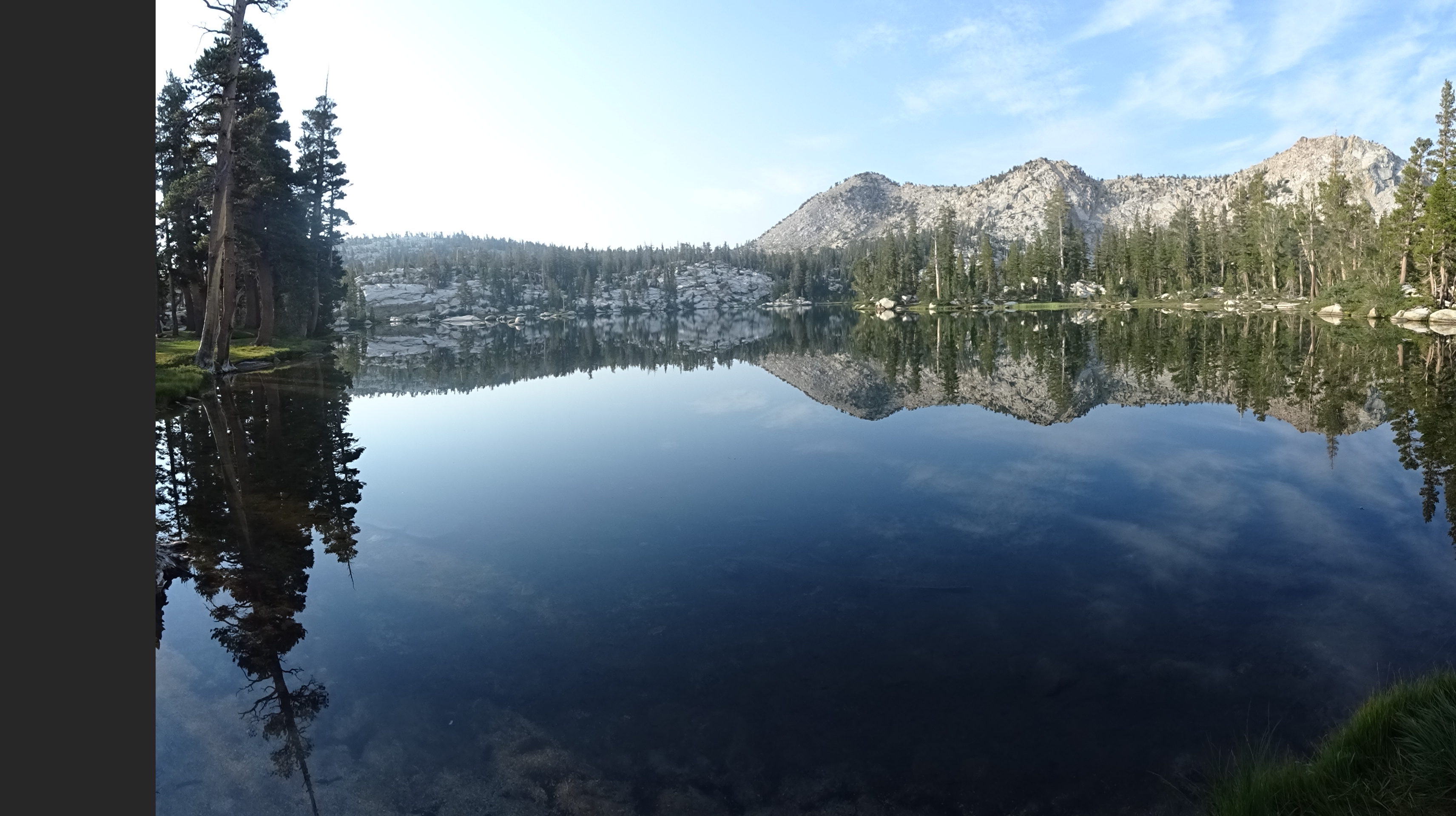
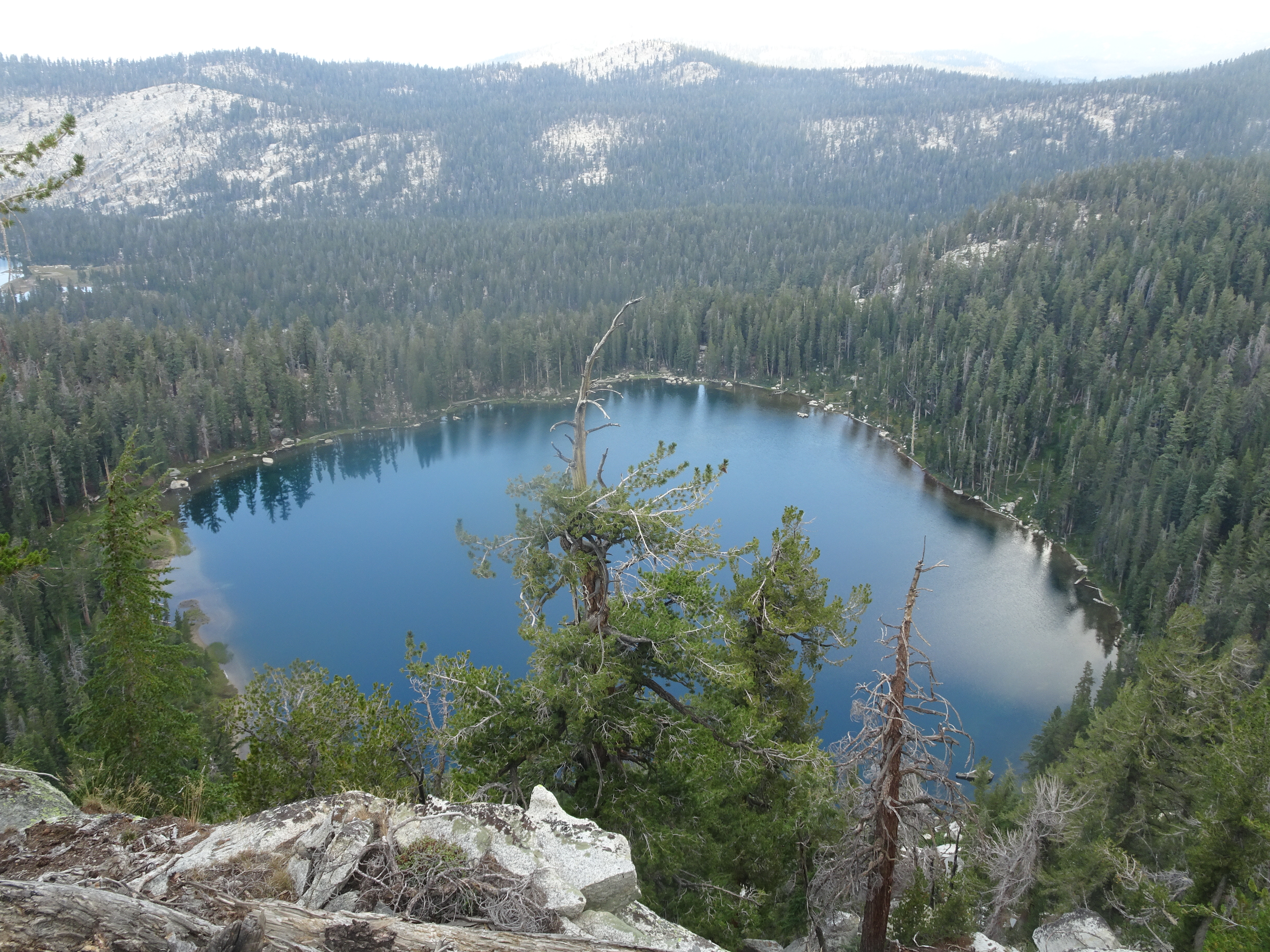
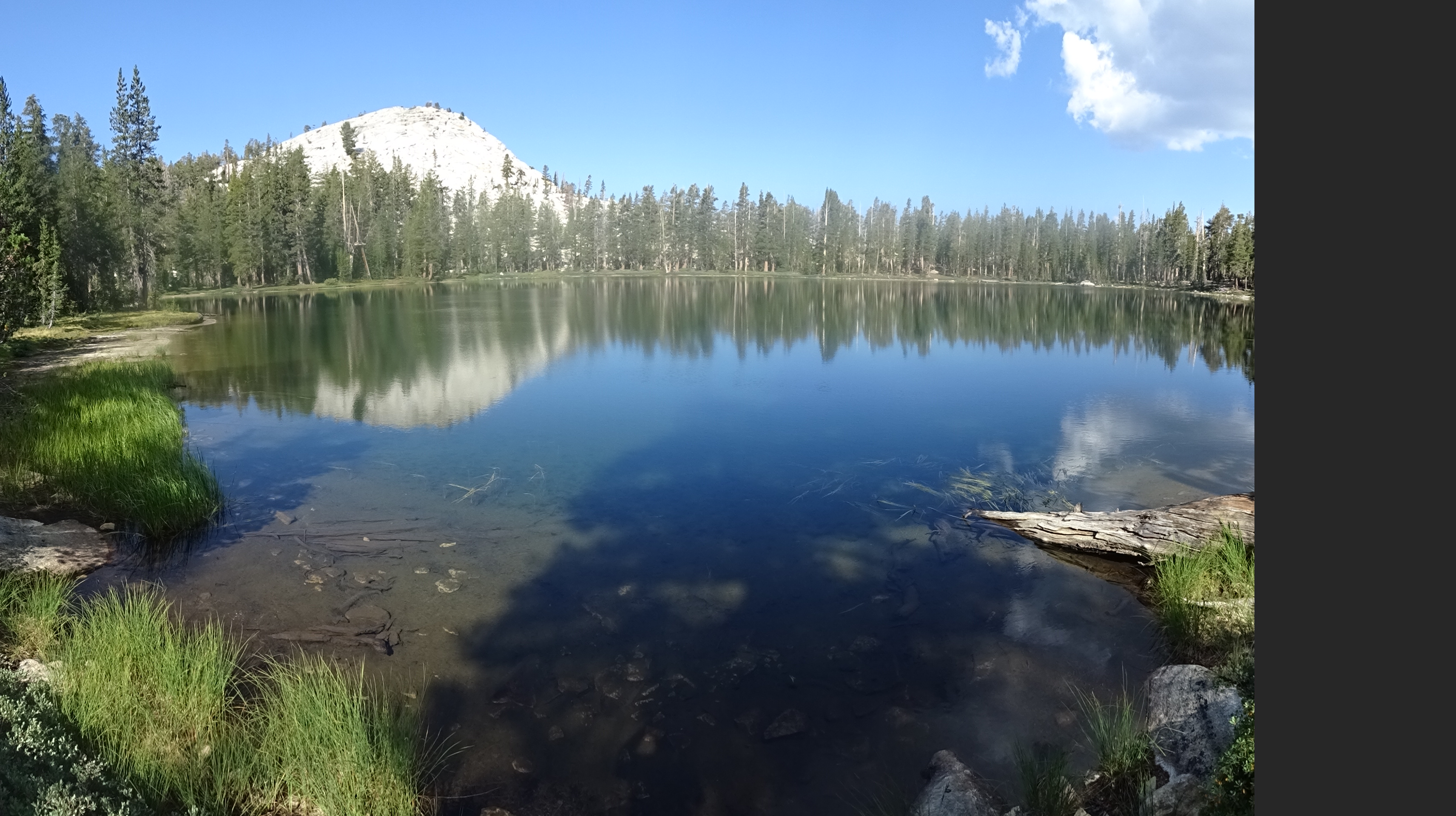
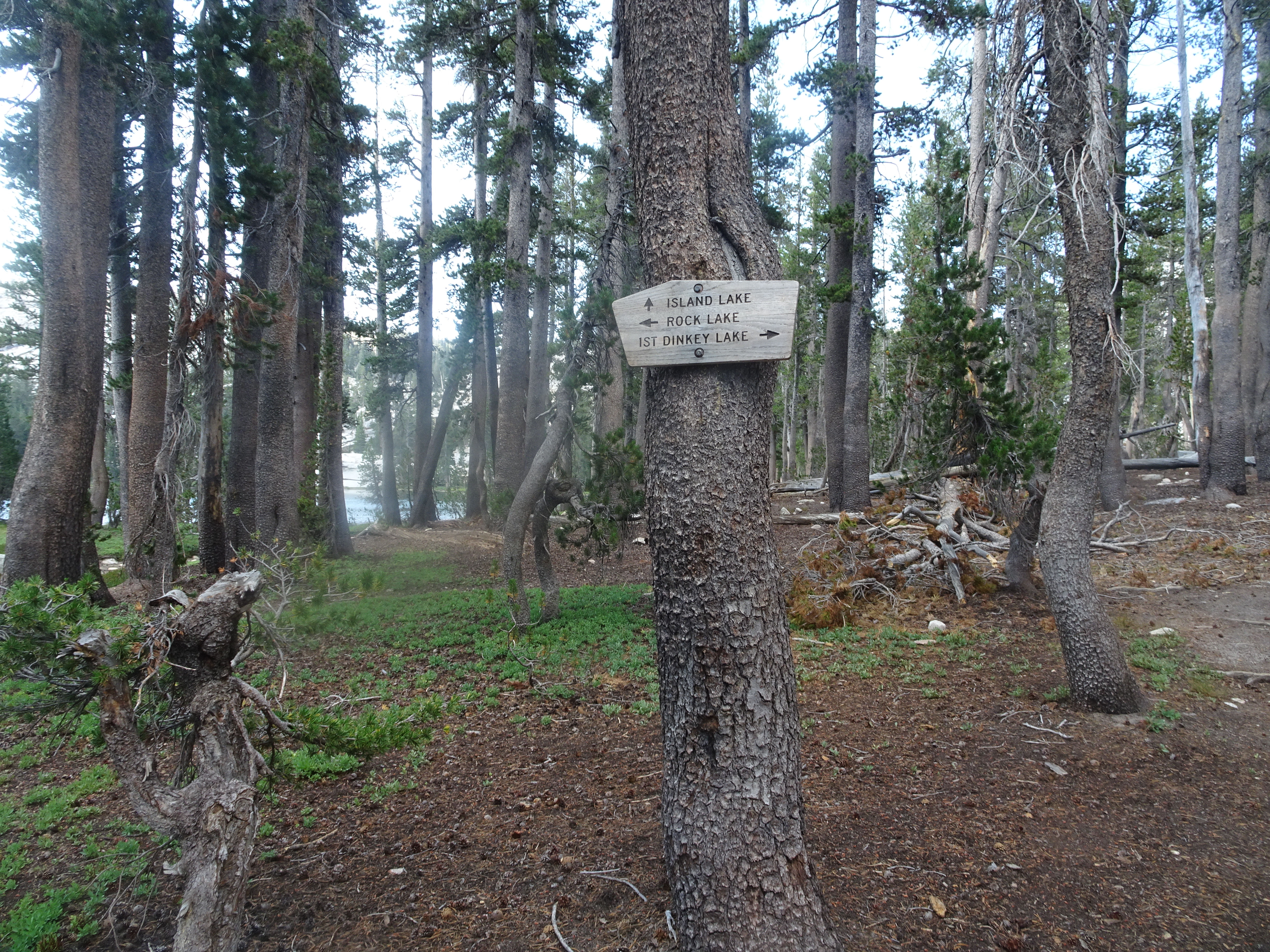
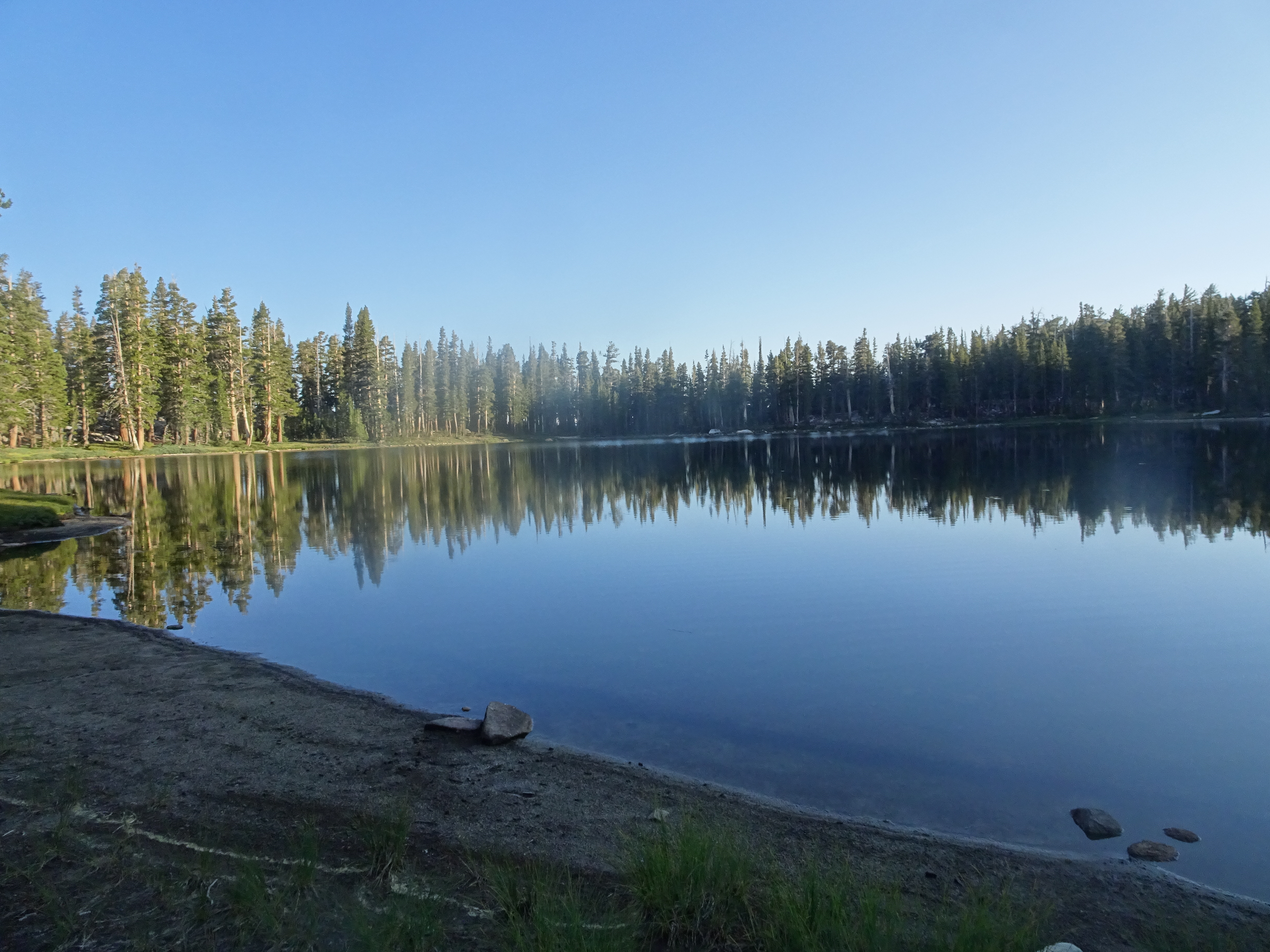
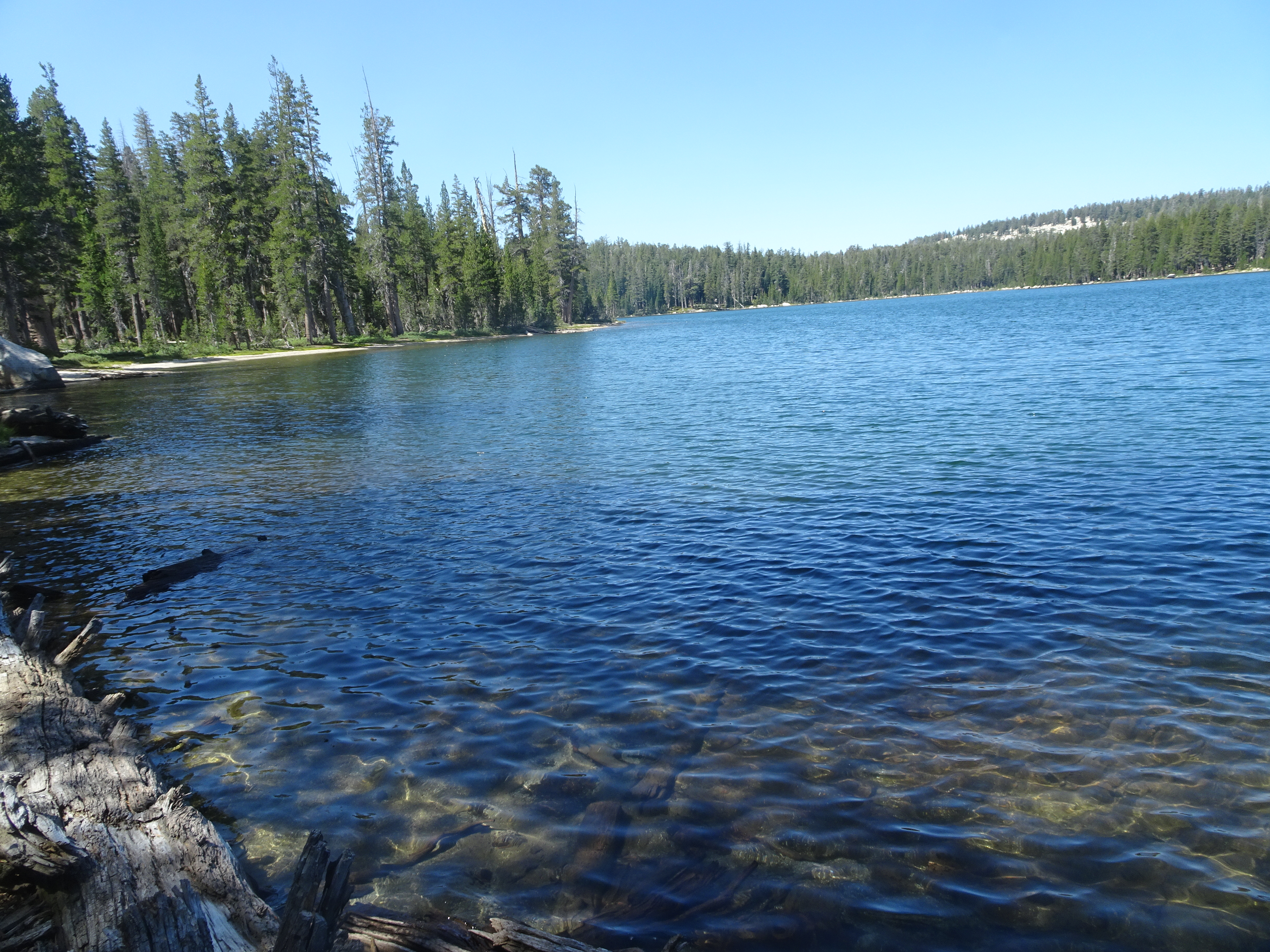
 At Island Lake At Island Lake |
Video suggestion: All videos shown below are very short and HD (1080p). I find best YouTube settings (for all but the few with Bob, Jennifer, or animals) are HD (1080p), slow motion (0.25 or 0.50), and full screen.
Drove from Santa Rosa to Jennifer's home in Oakland, sorted through food, then drove to the Dinkey Lakes Wilderness trailhead
Videos:
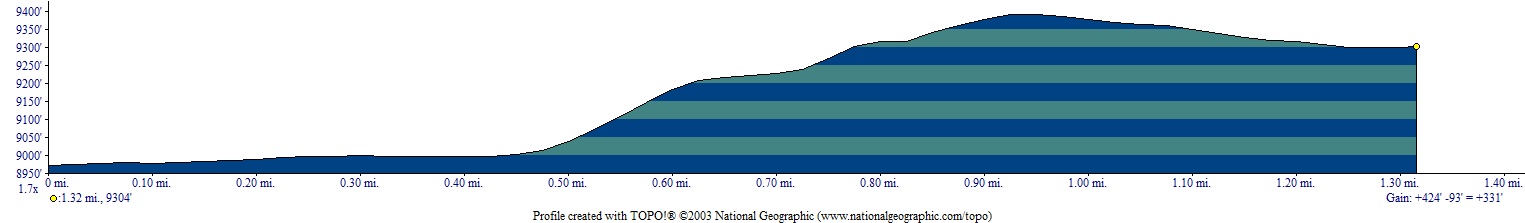
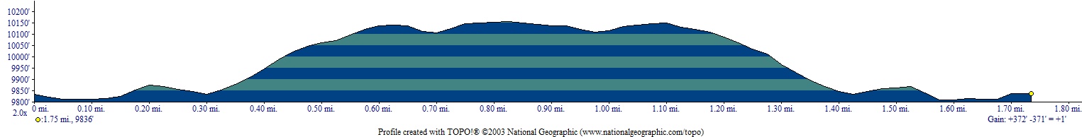
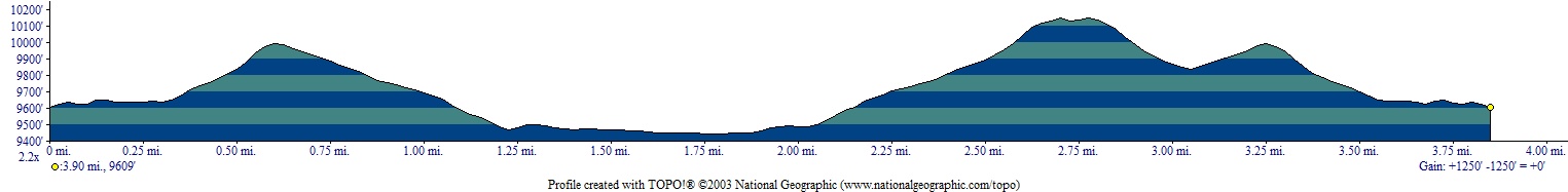
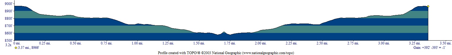
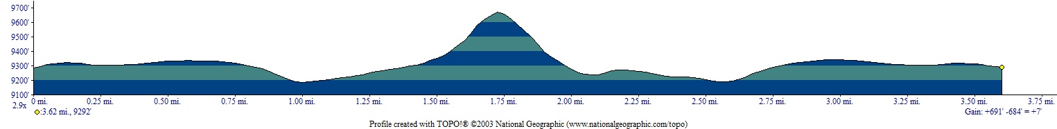
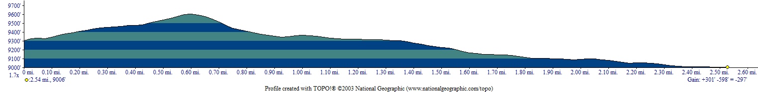
Backpack Elevation Profile:
 |
Dinner: Subway all-veggie sandwiches.
Diary:
| We picked up our Wilderness Permit in the town of Prather, which was very smokey (we assume from the Ferguson fire that was burning much further north near Yosemite National Park) and left us wondering if we would actually spend much time in Dinkey Lakes. Our permit was for under a week. We also picked up Subway sandwiches for dinner.
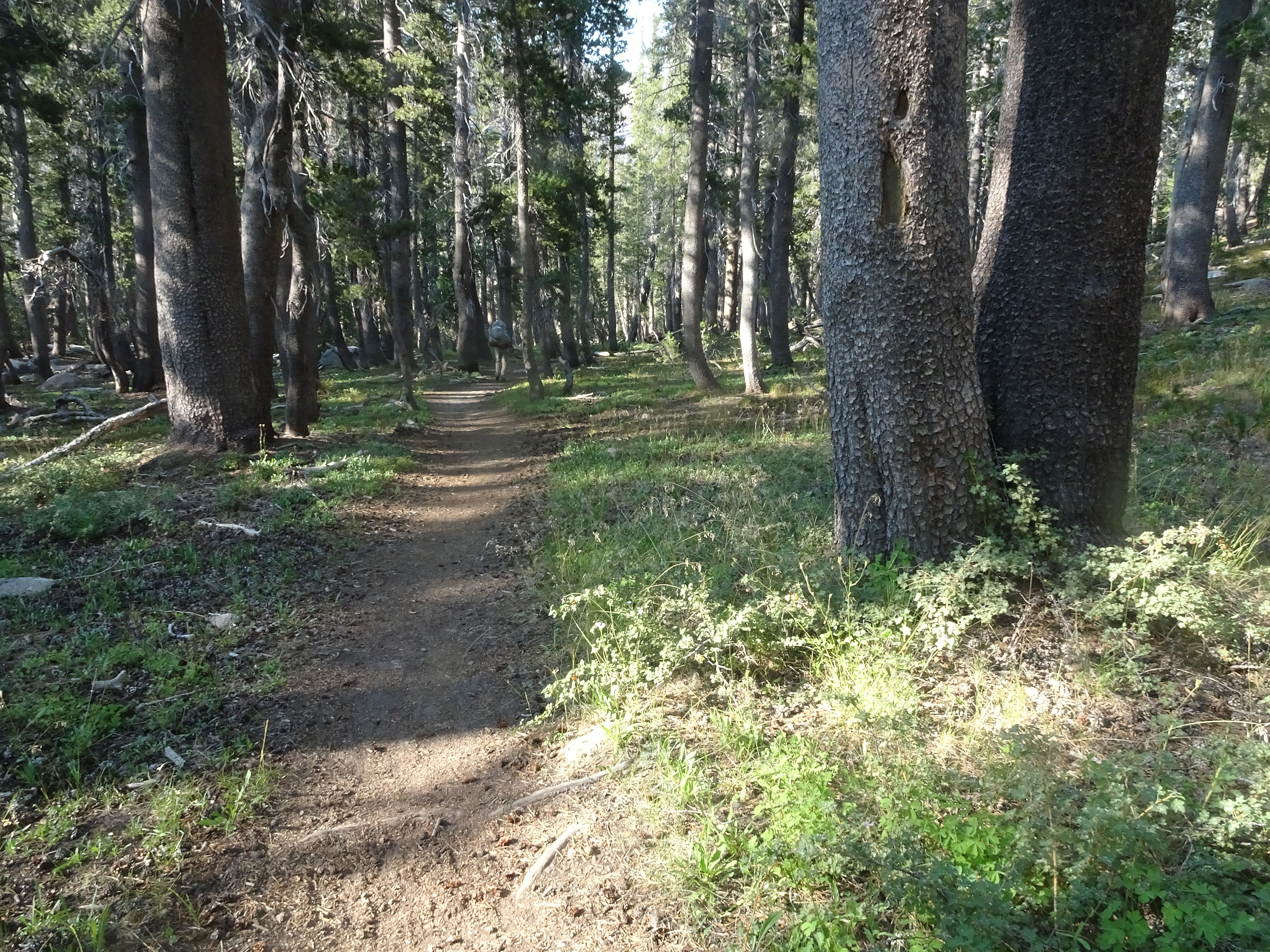
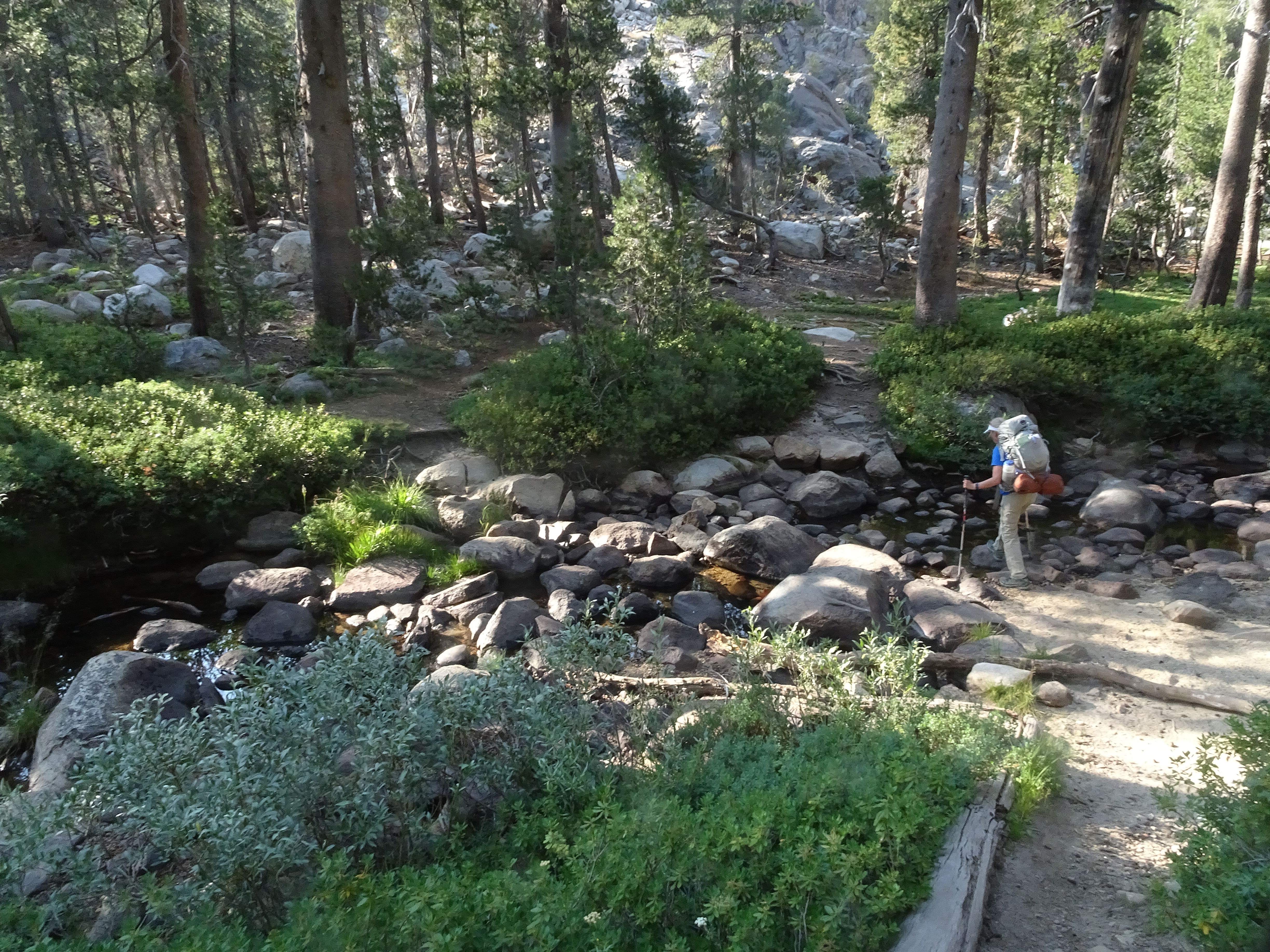
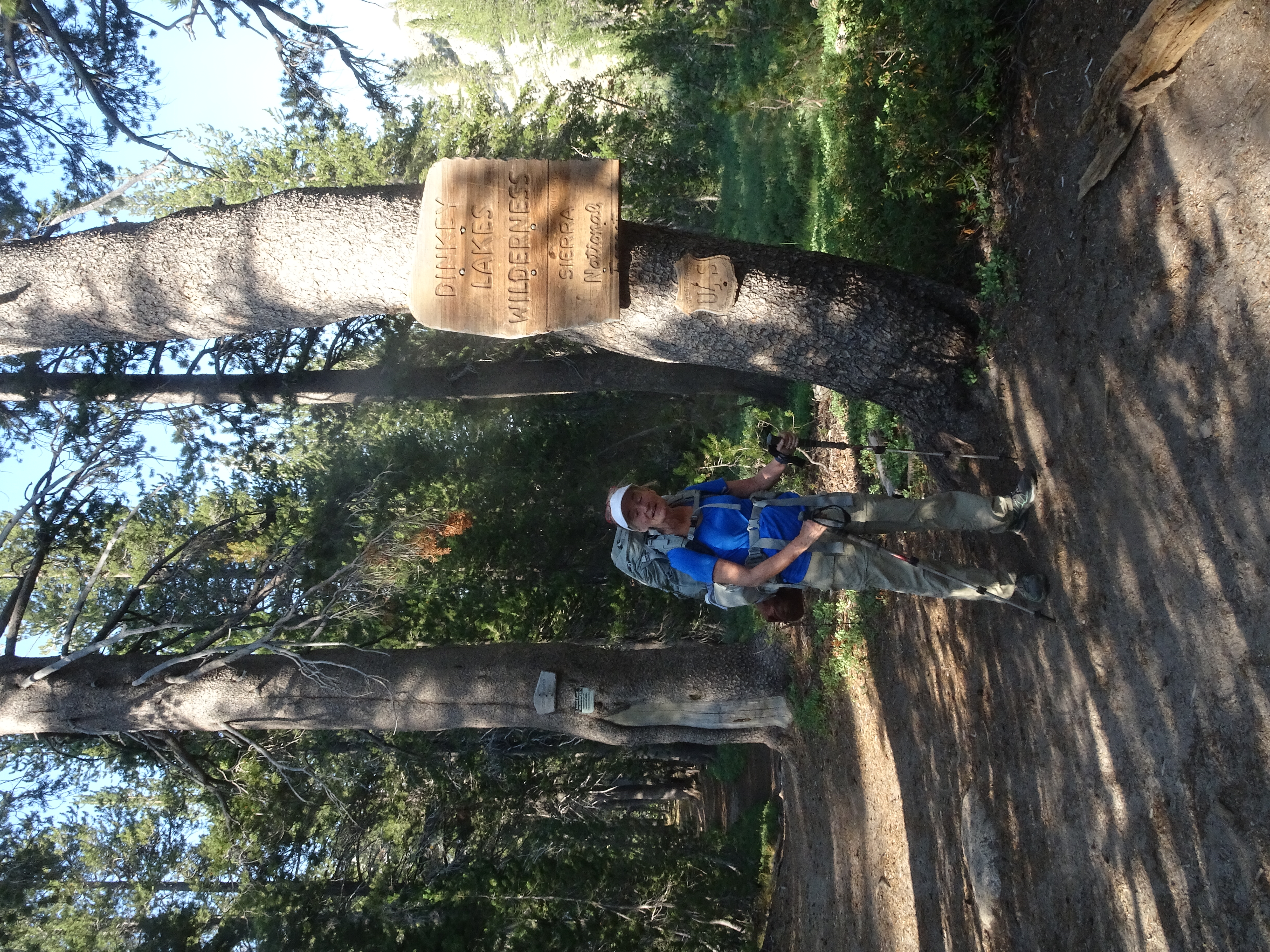
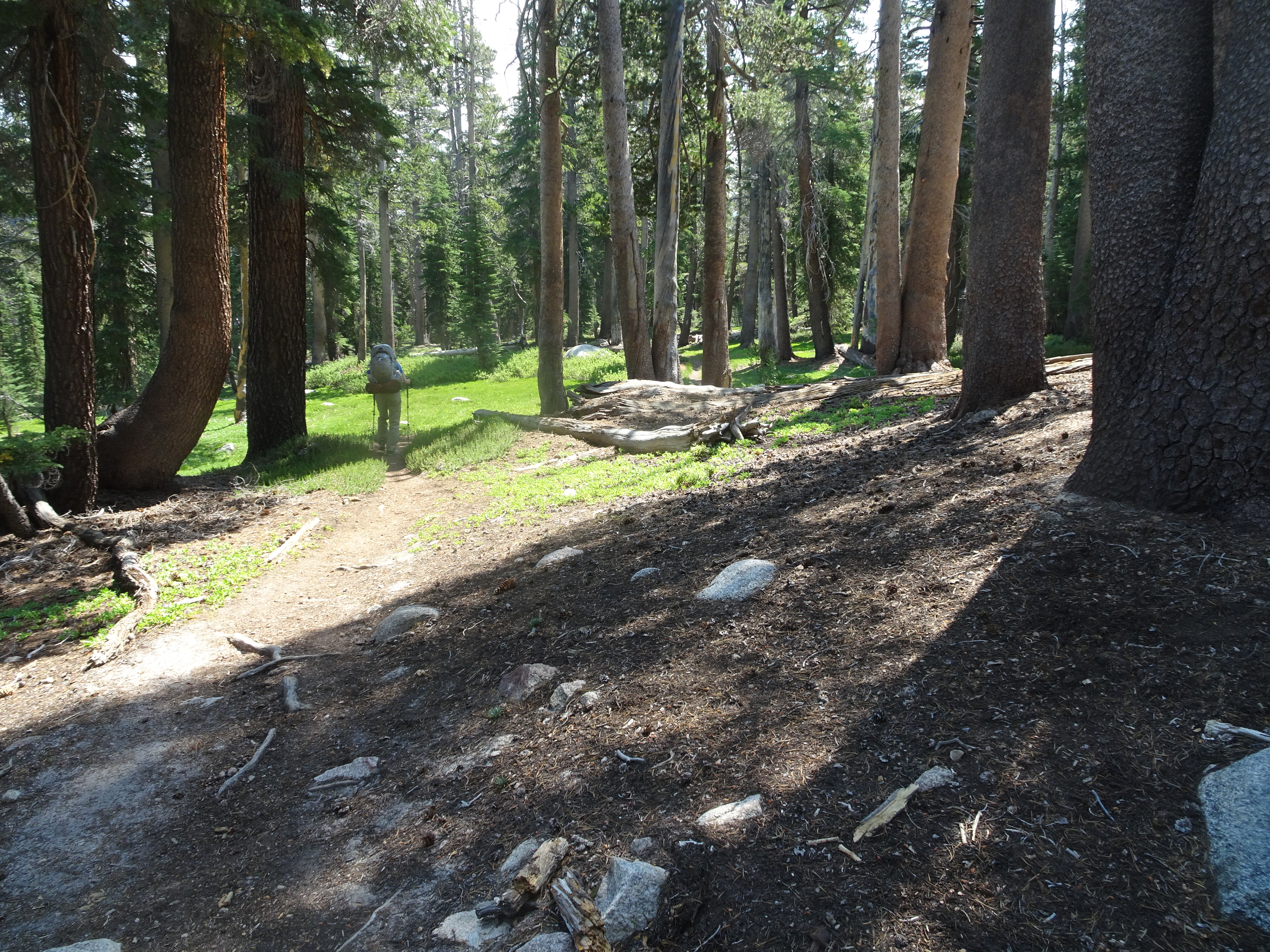
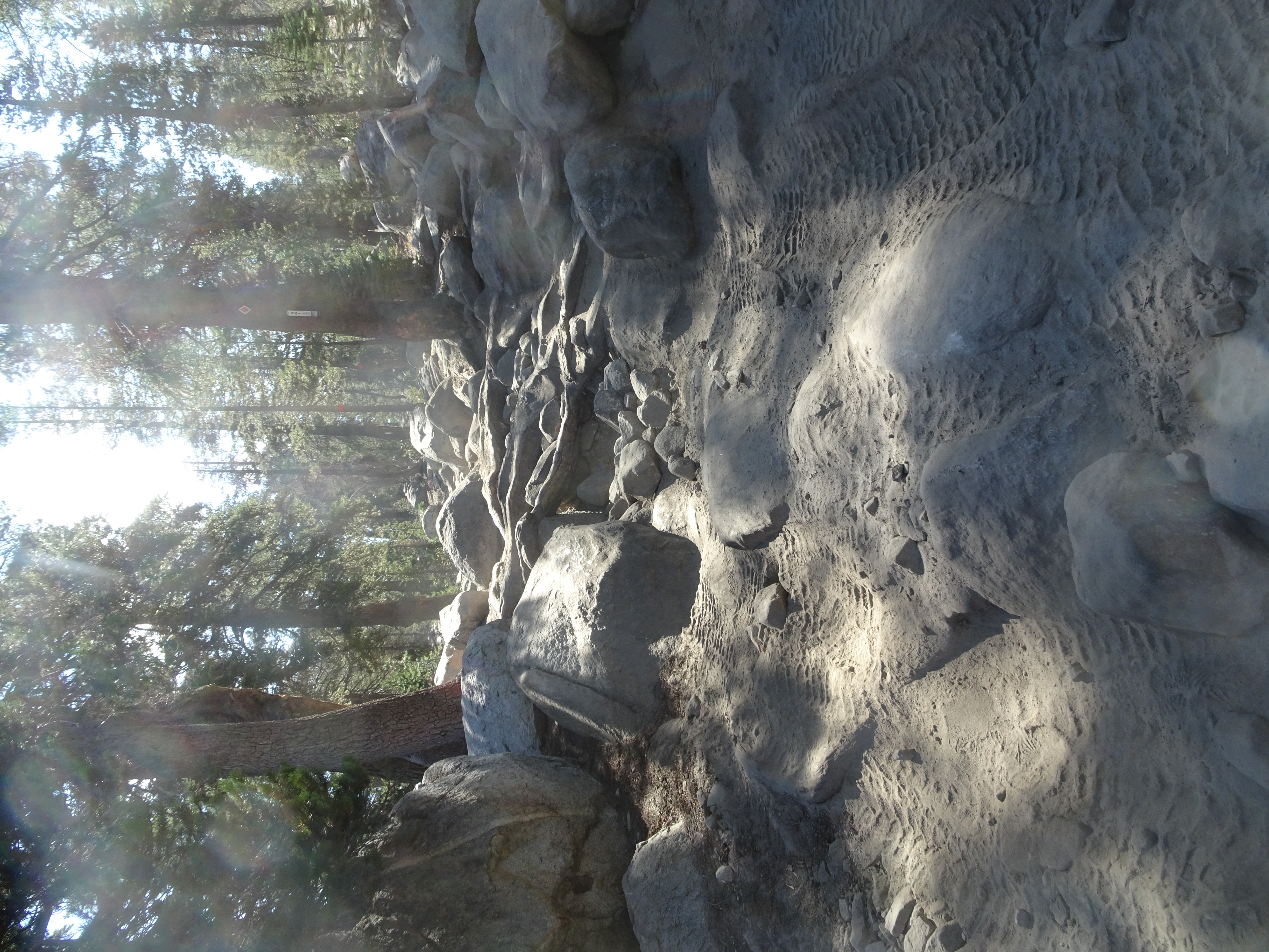
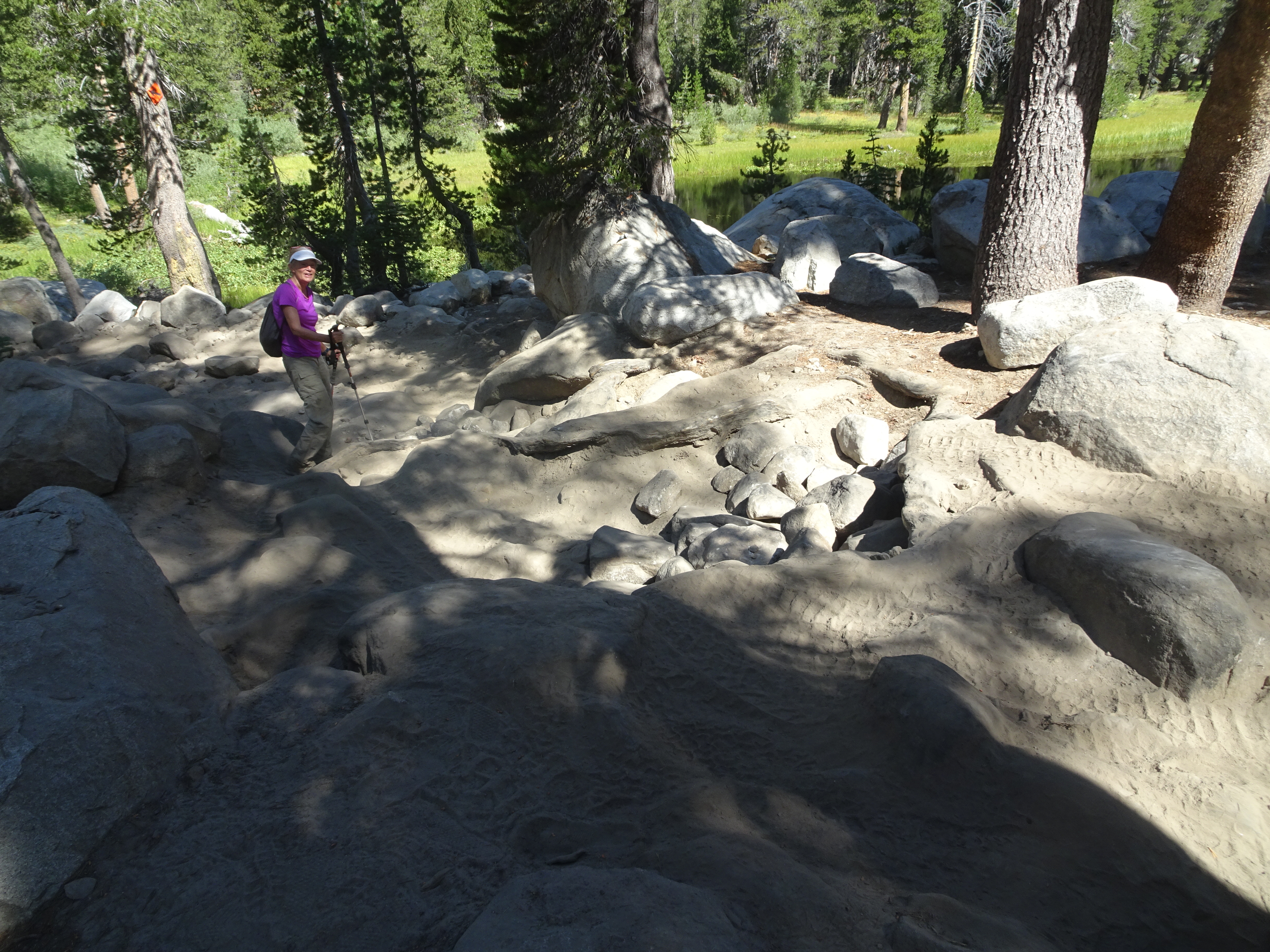
As we drove up into the mountains the air began to clear and by 6,000 - 7,000 ft elevation the sky was blue enough so we were no longer concerned. At Tamrock Ridge got off highway and followed Forest Service dirt/rock/old pavement roads that got worse and worse, drove in first gear, clutch may have started to smell. The trailhead parking lot was large with about 15 cars, but no people. After a final sorting of food to last the 6 days, leaving the other half of the food in bear-proof cannisters in the trunk, we backpacked about 2 miles to Mystery Lake. The trail was beautiful forest path, an easy walk, not too steep, well maintained. Perfect.
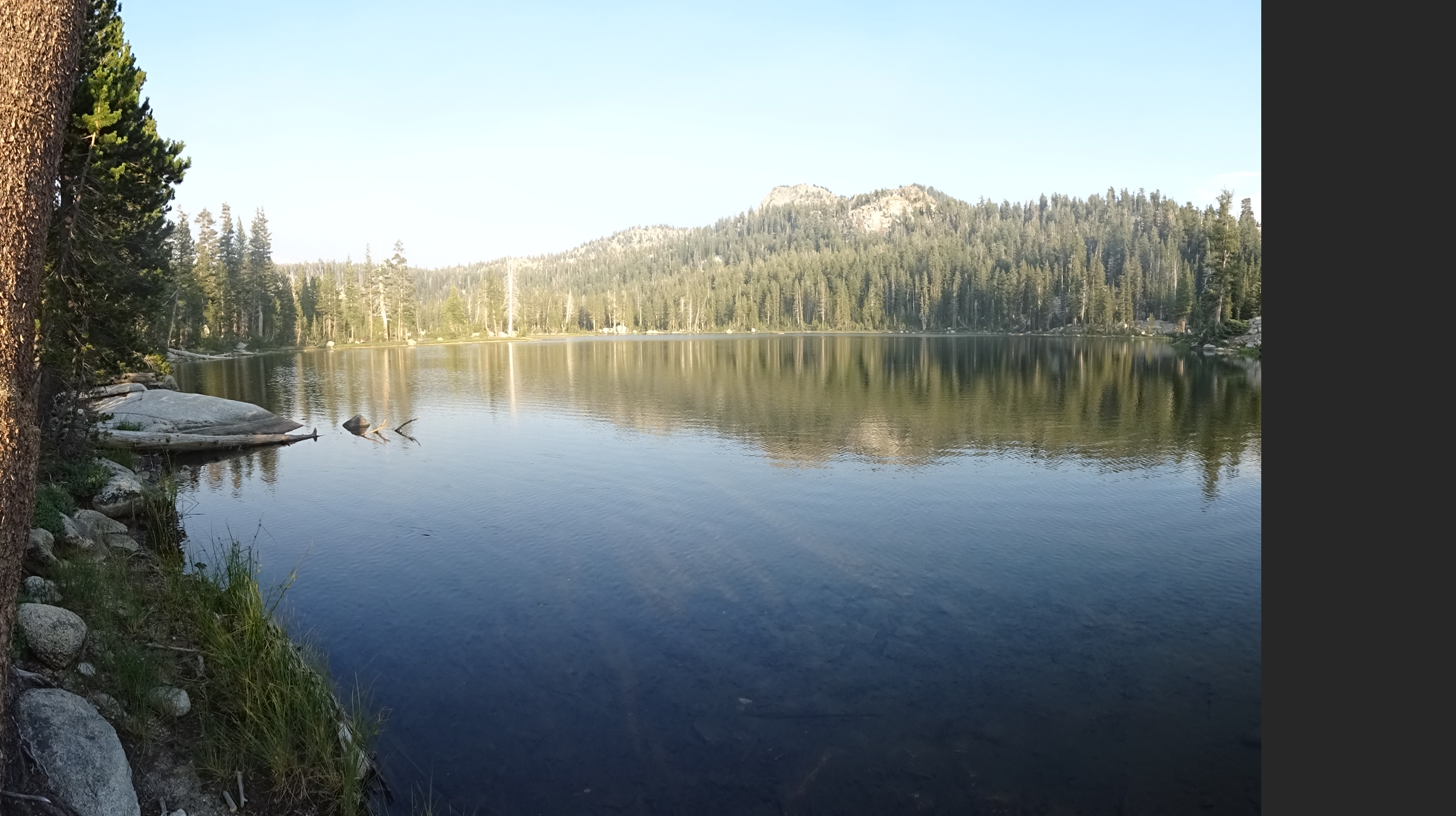
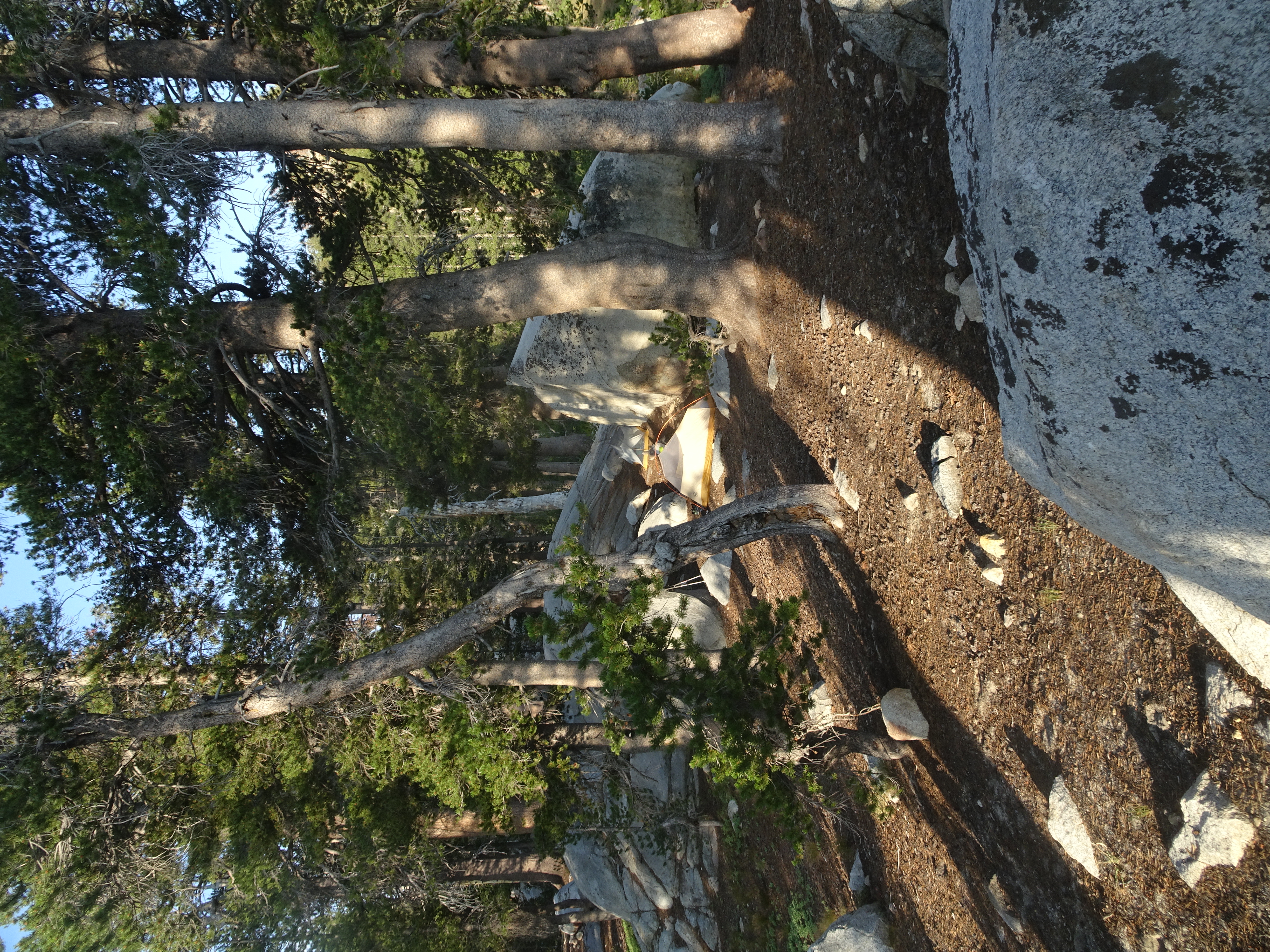
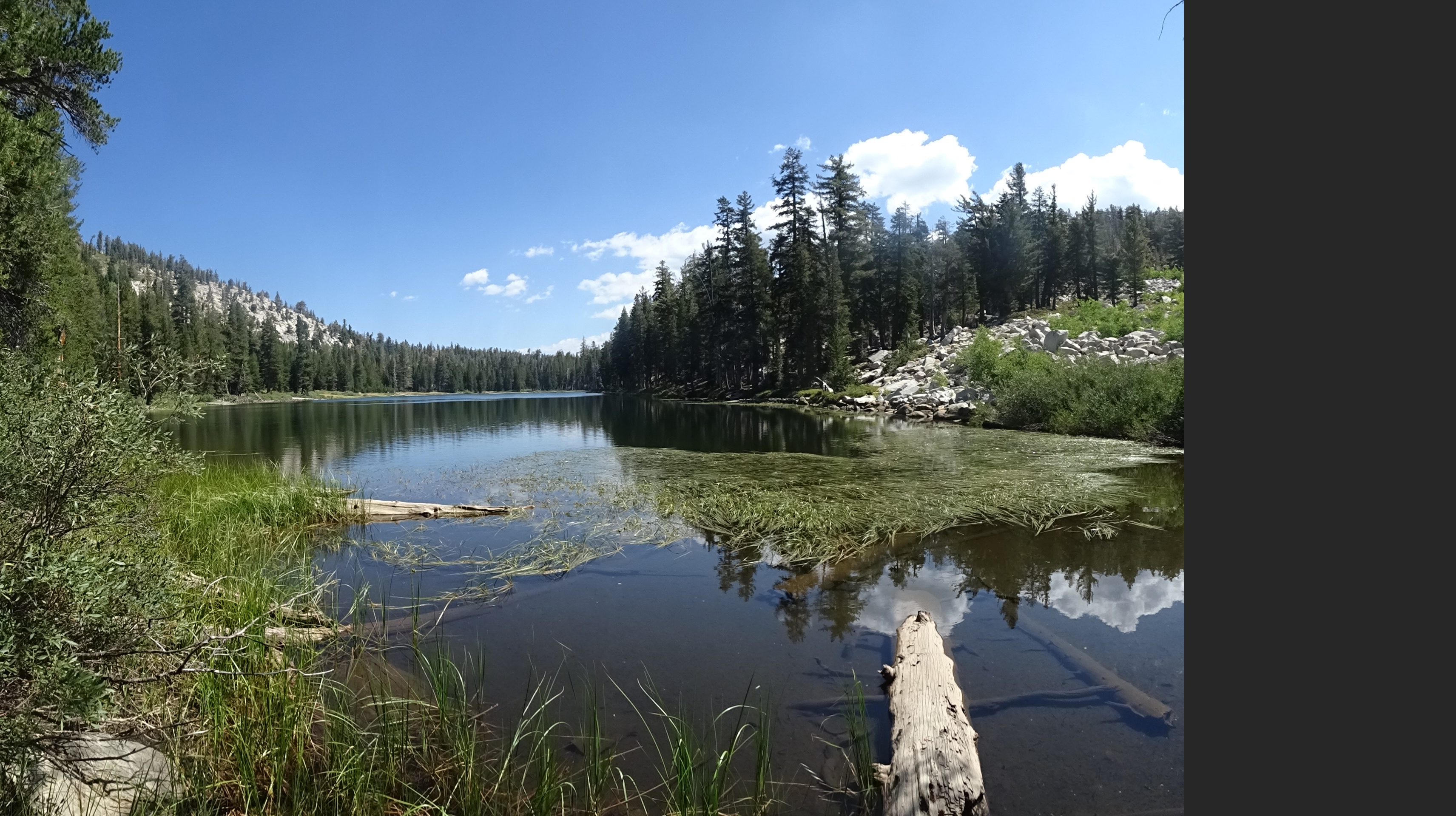
Mystery Lake was larger than we expected with maybe 4 - 6 occupied campsites around the lake. We found one campsite with another not too far away, but it was mostly private, so we set up our tents and ate our Subway sandwiches for dinner.
Day 2, Friday, August 10We backpacked from Mystery Lake to South Lake, passing Swede Lake along the way. After setting up camp, we hiked to First Dinkey Lake and back.
Videos:
Backpack from Mystery to South Lake Elevation Profile:
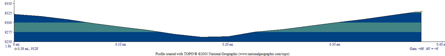
Hike to Dinkey Lake 1 and back Elevation Profile
Dinner: Packaged cheddar potato soup with added spinach Diary:
We backpacked from Mystery Lake to South Lake, passing Swede Lake along the way.
The campsite we set up at South Lake would turn out to be hard to find, a bit off trail.
Bob checked out possible cross country routes from South Lake to Island Lake, one following the outlet that flows directly down from Island Lake to South Lake, the other following the outlet from Fingerbowl Lake which is fed from an outlet from Island Lake, but both seemed too difficult for backpacking. Met a guy and his son who in fact would end up going up to Finger Bowl Lake.
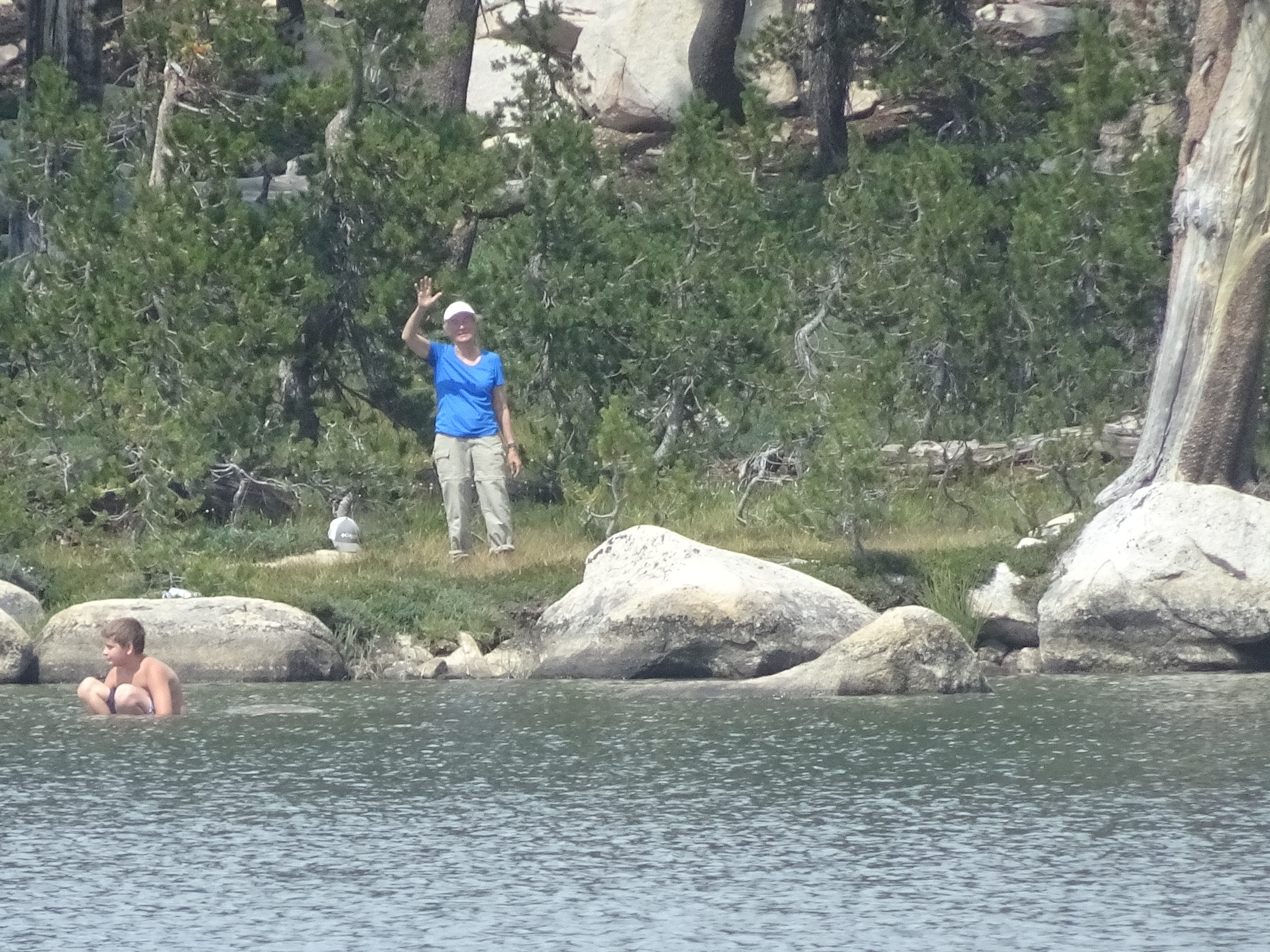
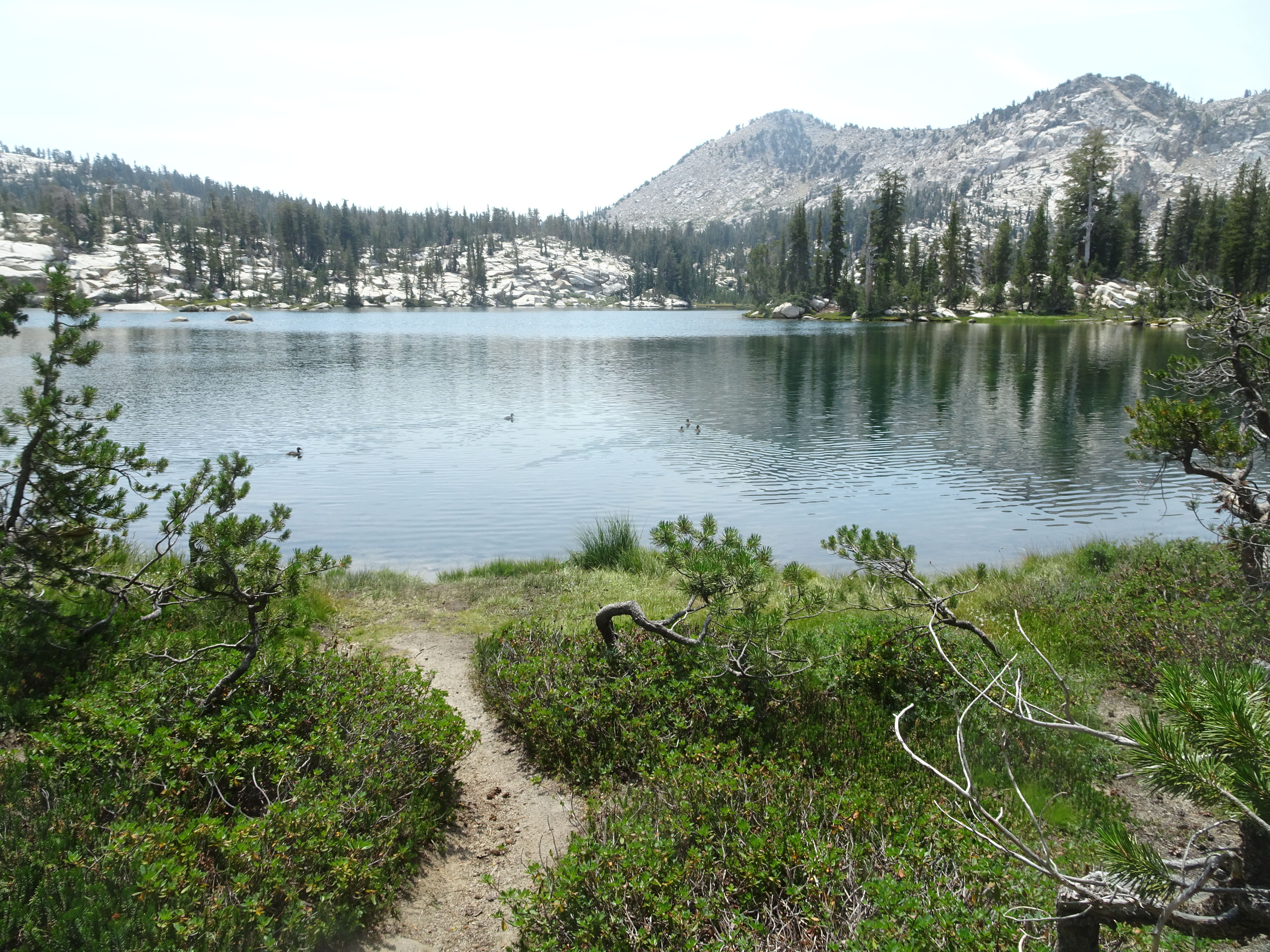
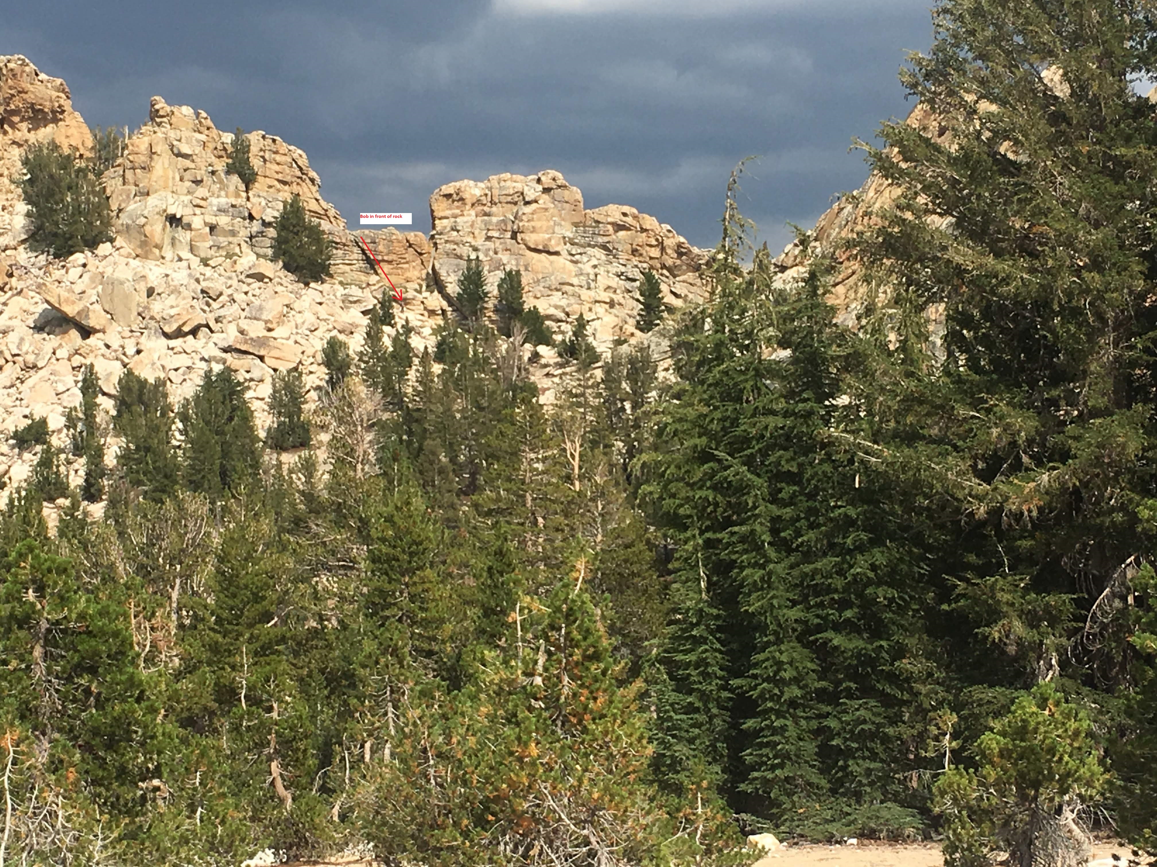
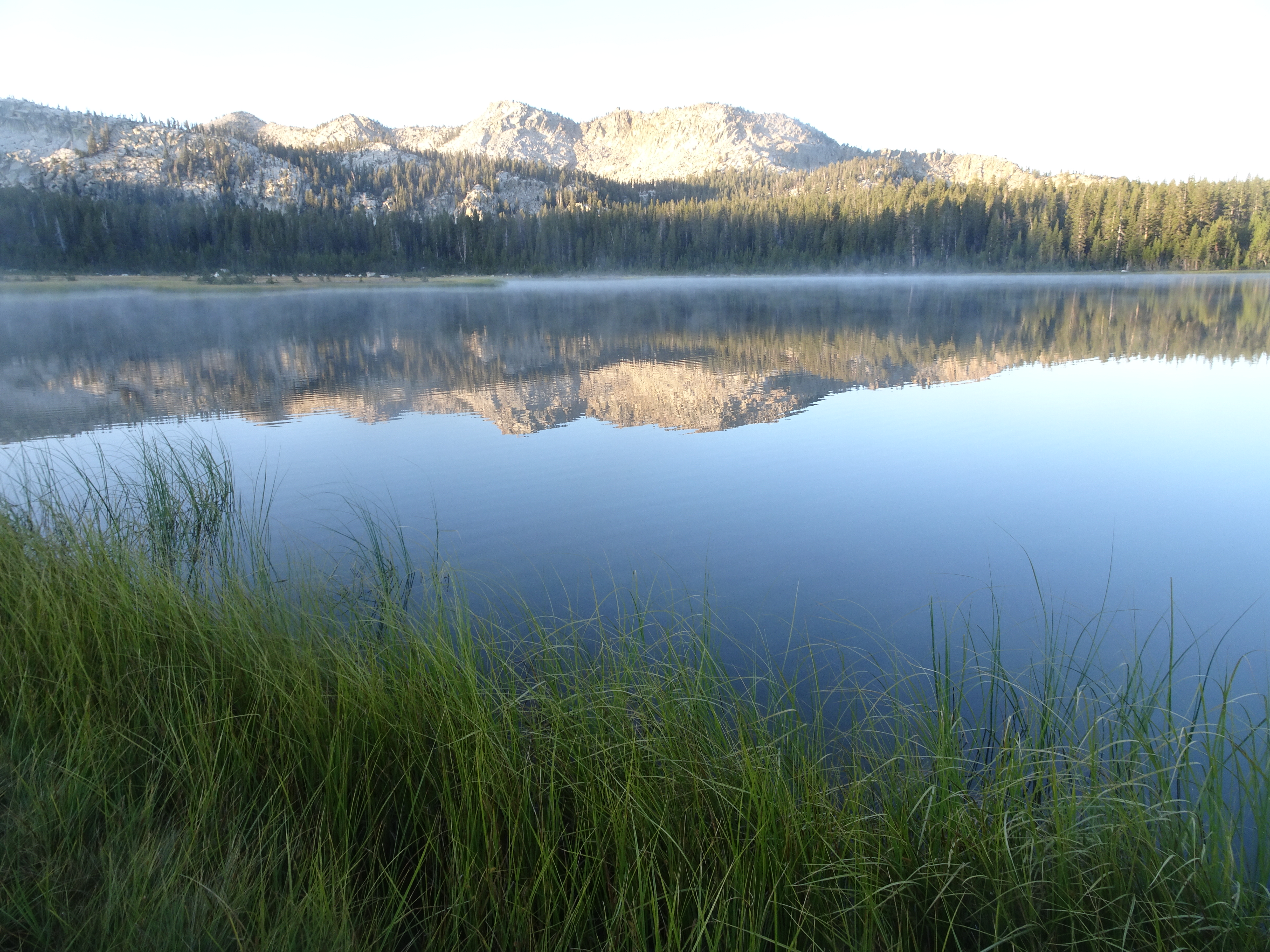
Jennifer had intended to take a nap, but the tent was too hot, so she went down to lakeside, where Bob took her photo from across the lake:
When Bob got back, both hiked to First Dinkey Lake:
When we left for First Dinkey Lake we did not bother to put rain flies on their tents, although Bob had laid out his sleeping bag in his tent. As we returned from First Dinkey Lake we heard thunder and then began light off and on rain. So we rushed the last 1/2 mile to camp and put up rain flies - Bob's sleeping bag was a mixture of wet and dry, but it all worked out in the end (very thankful for dry towel and washcloth!). The rain continued off and on for a bit, then cleared up.
Day 3, Saturday, August 11
Videos:
Backpack Elevation Profile (understates distance):
Dinner: Curry with garbonzo beans and cauliflower over rice. Diary: We left our camp in the morning, backpacking cross country to get to the trail. And got lost. We stopped, used the GPS, and found our way to the trail. Once at the the trail, we realized we had left Jennifer's hiking poles where we stopped for the GPS, and unfortunately had not marked on the GPS where we had stopped. So first Bob went back cross country in the direction he thought we had stopped, while Jennifer waited at the trail with both packs. Bob did not find the poles, so came back to the trail and Jennifer took a stab at it. Jennifer was successful, returning to the trail with both poles. We backpacked along the trail, passing Second Dinkey Lake on our way to Island Lake.
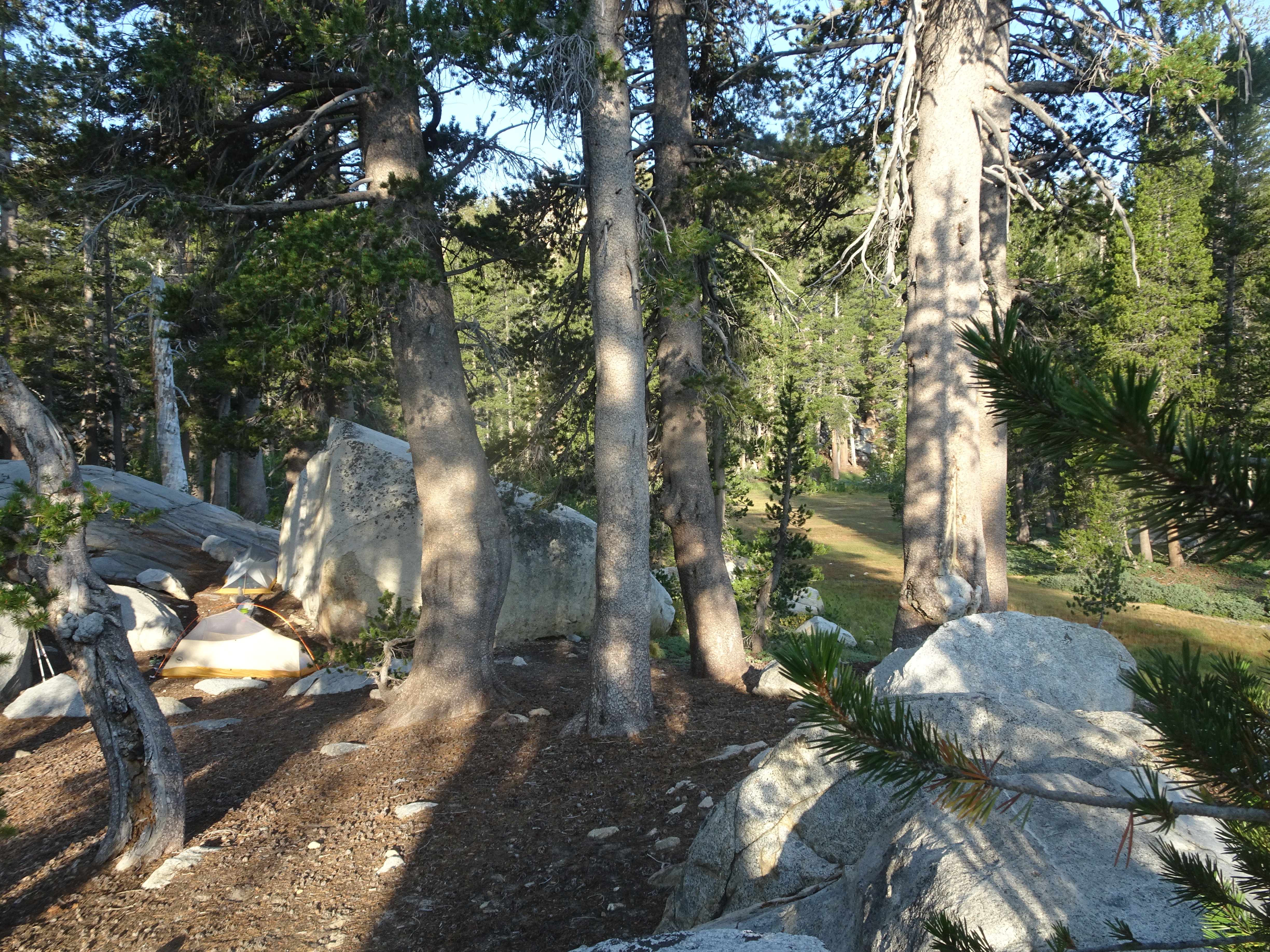
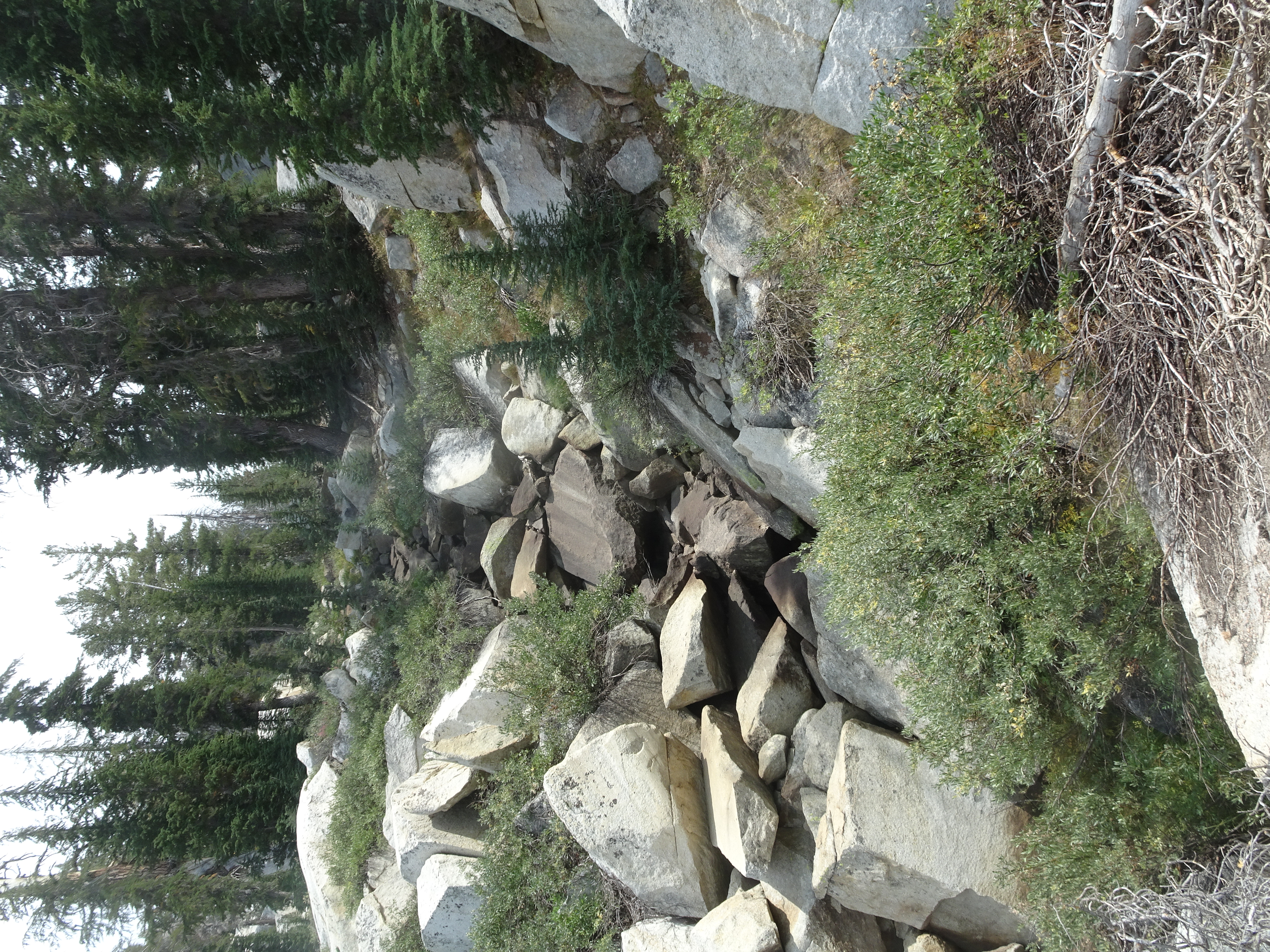
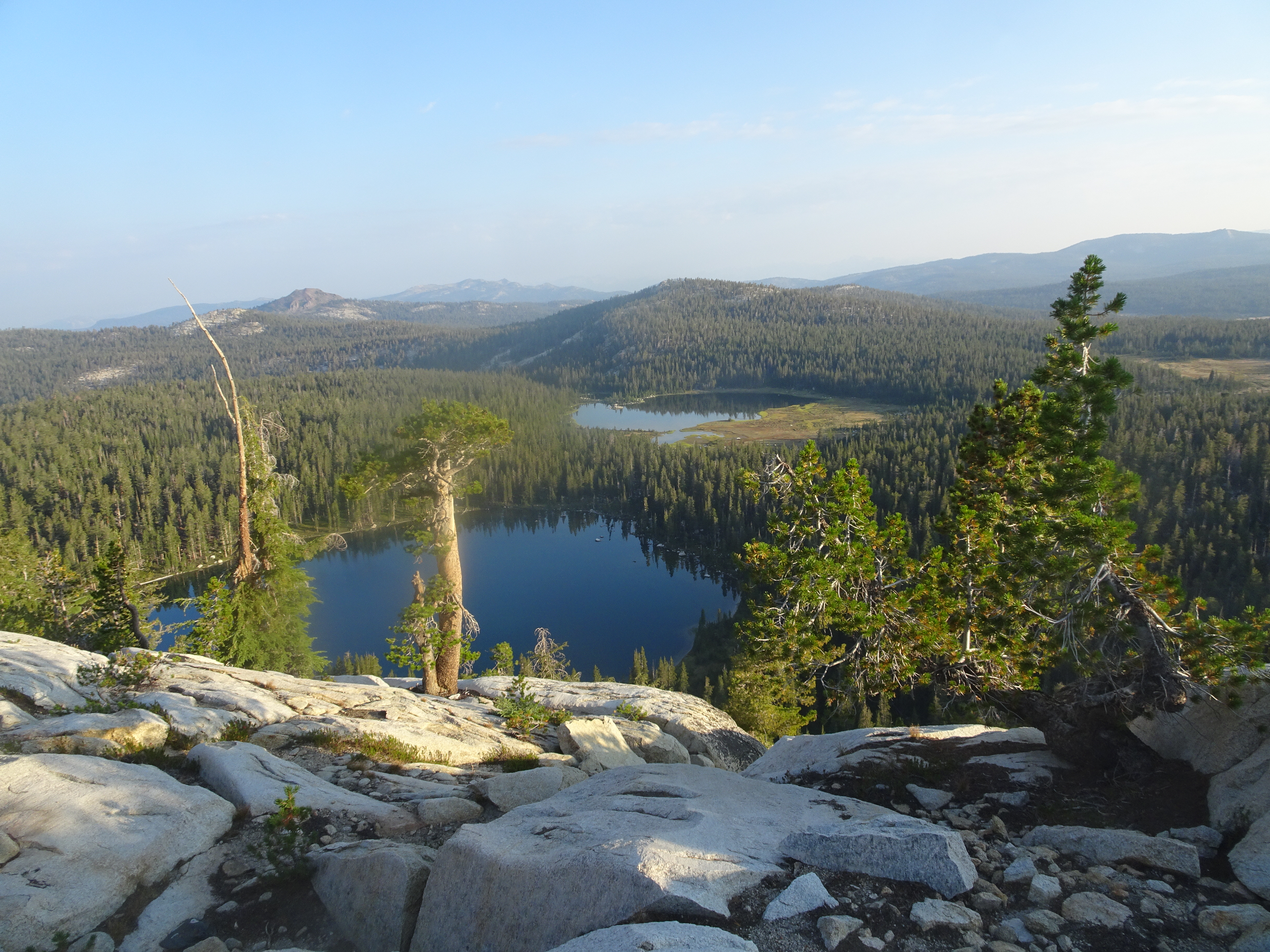
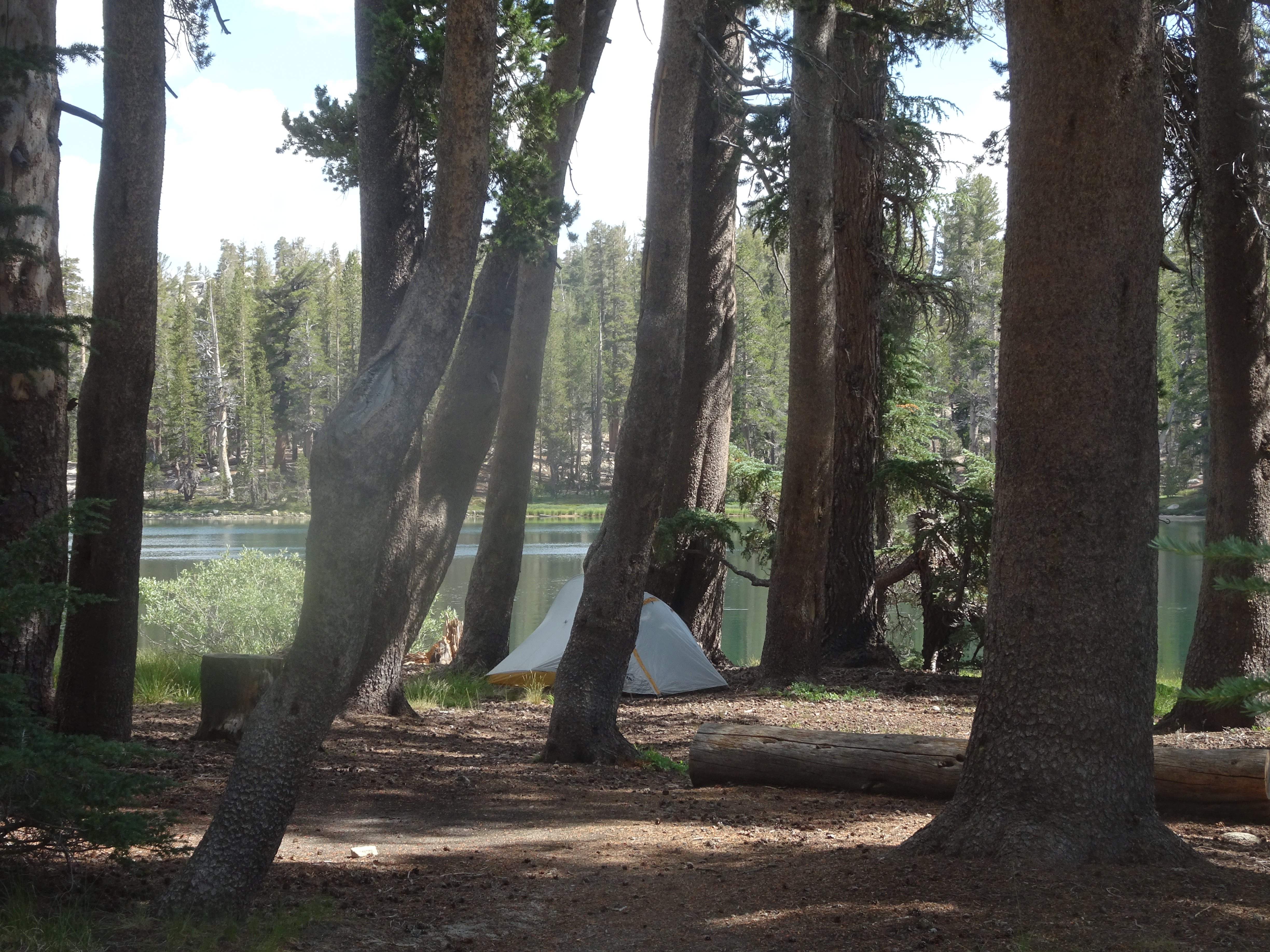
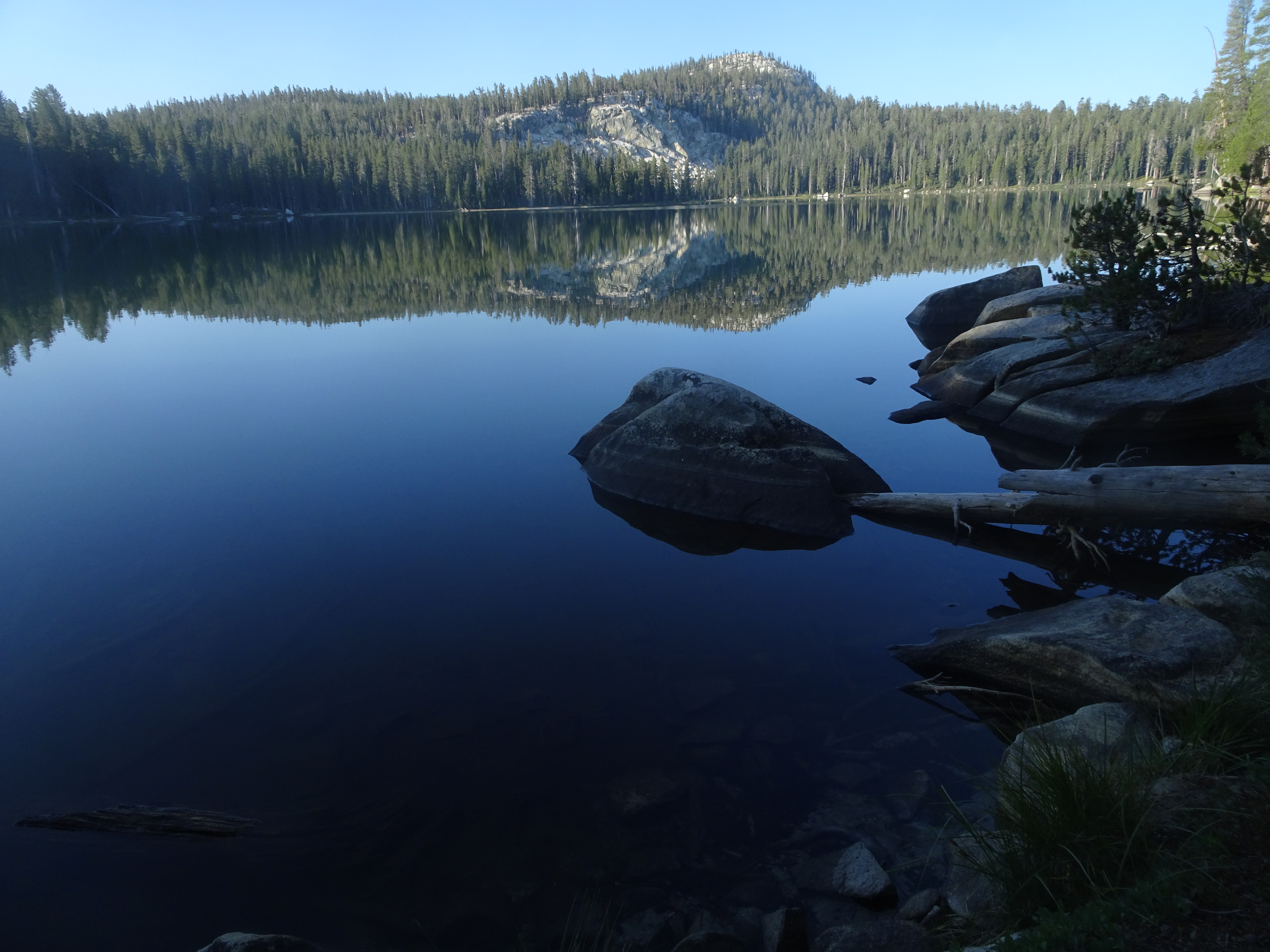
Once at Island Lake and after setting up camp, Bob then followed the outlet from Island Lake down to near South Lake.
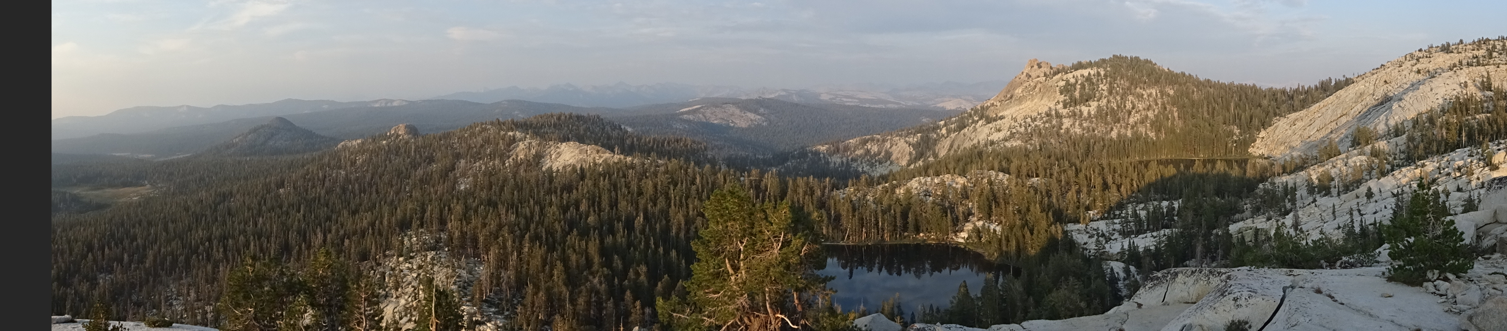
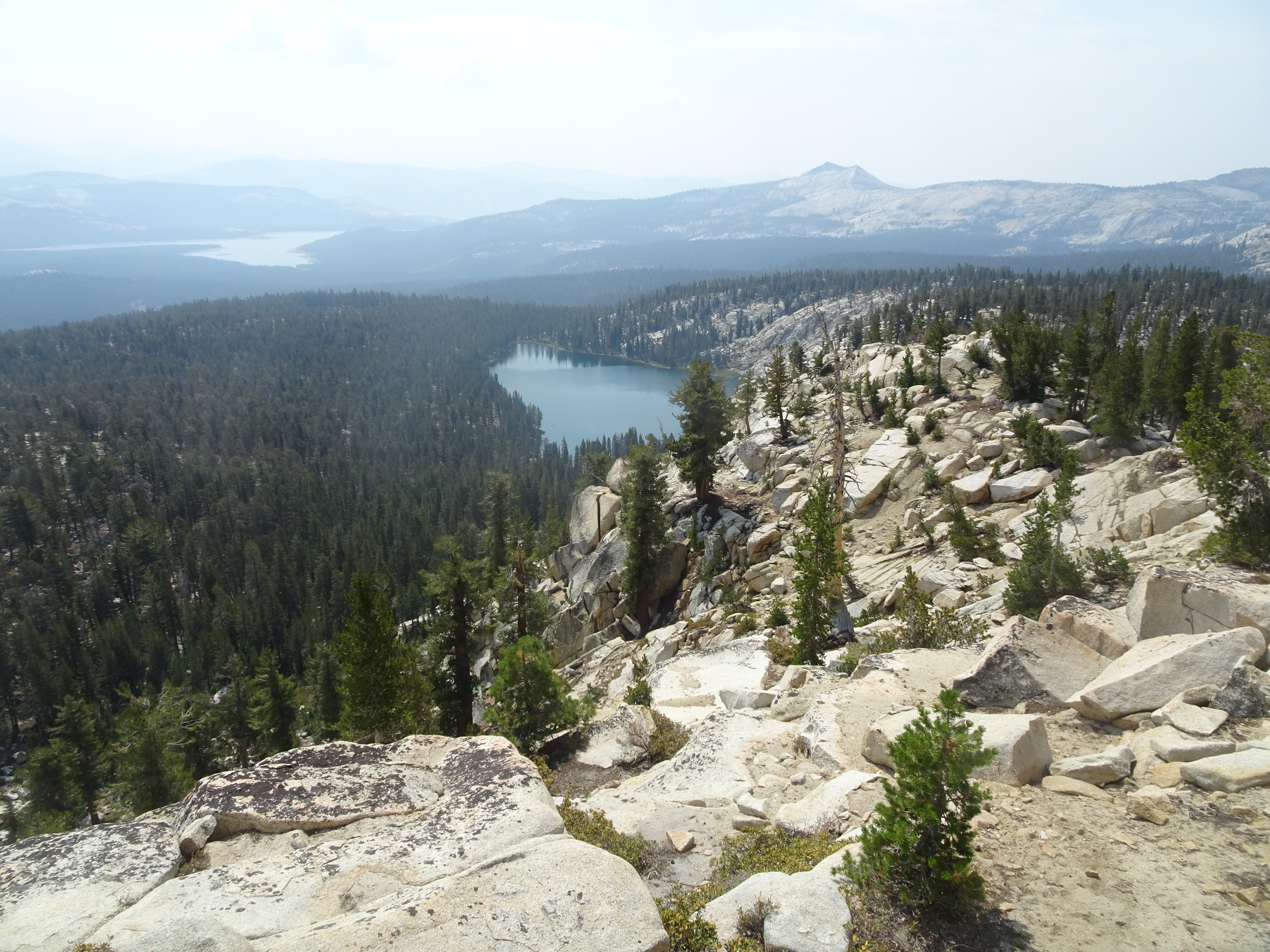
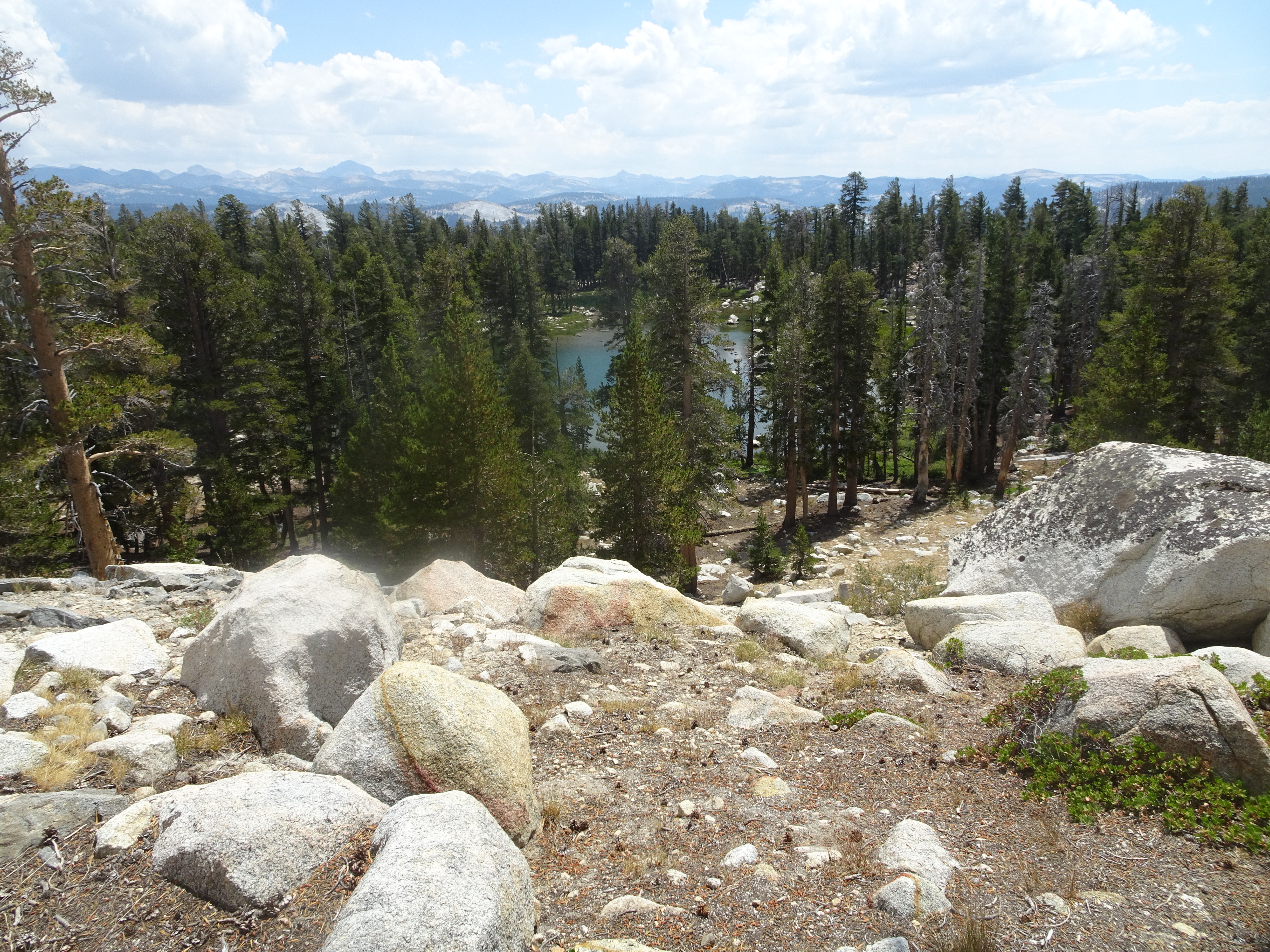
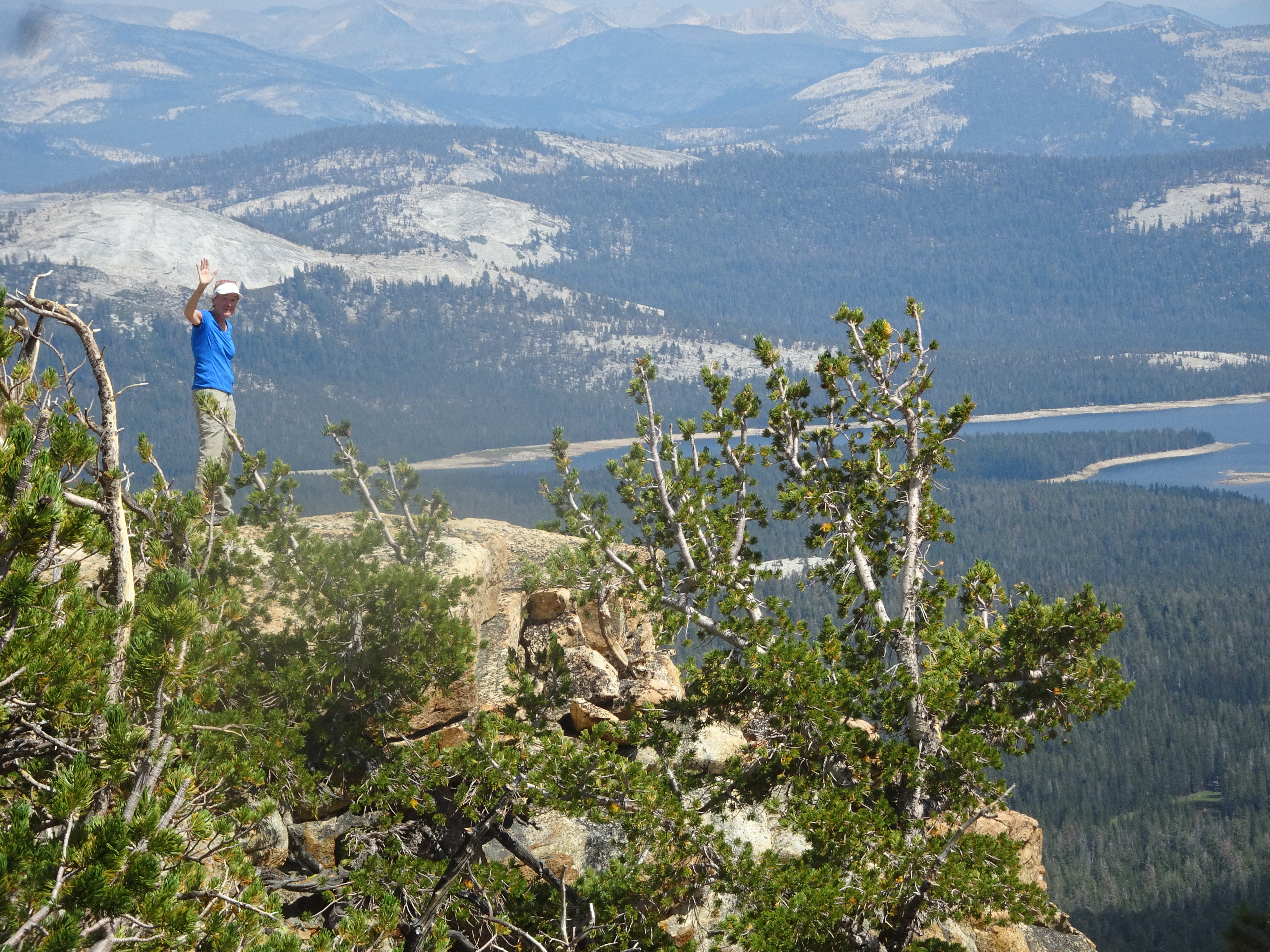
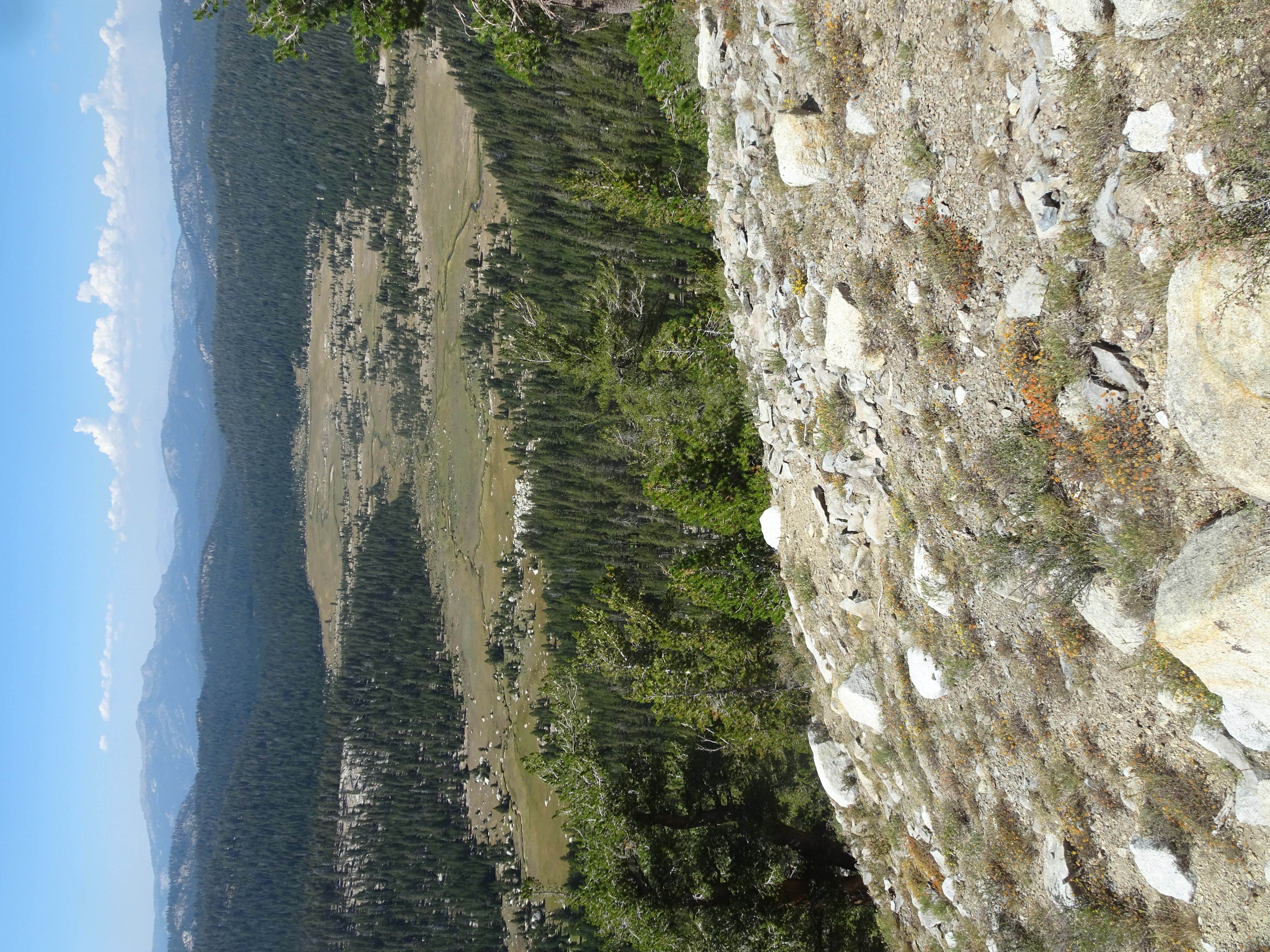
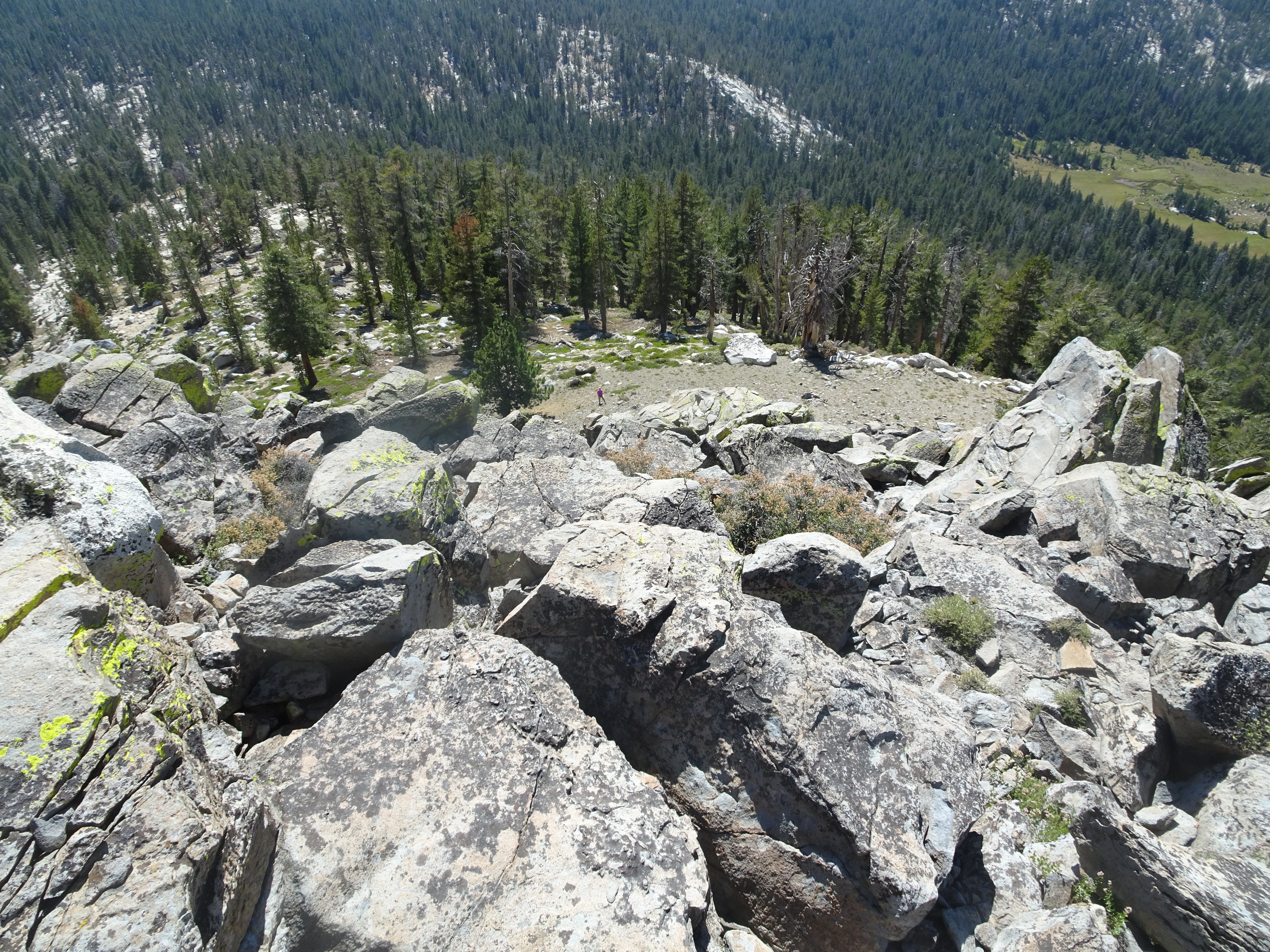
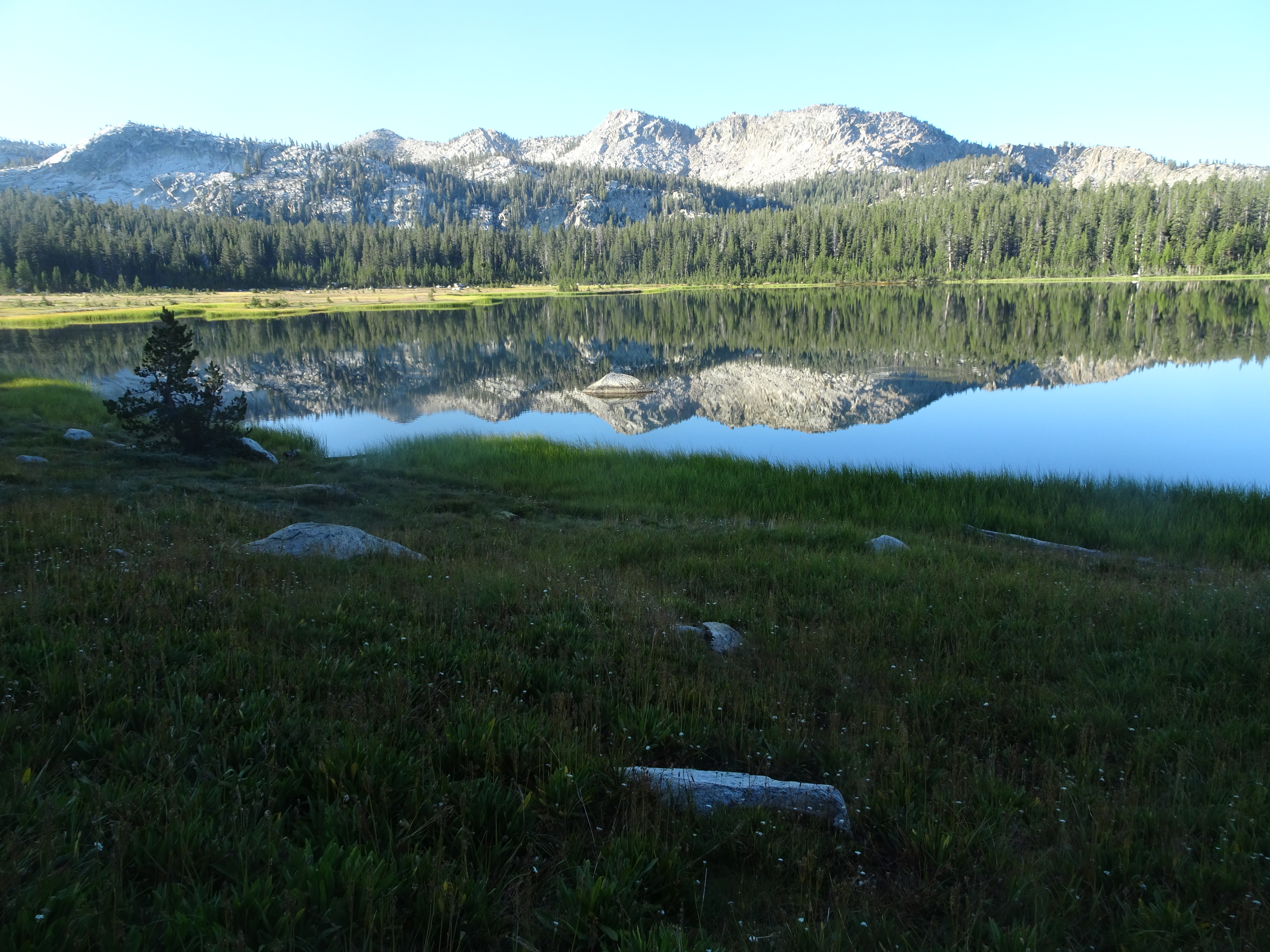
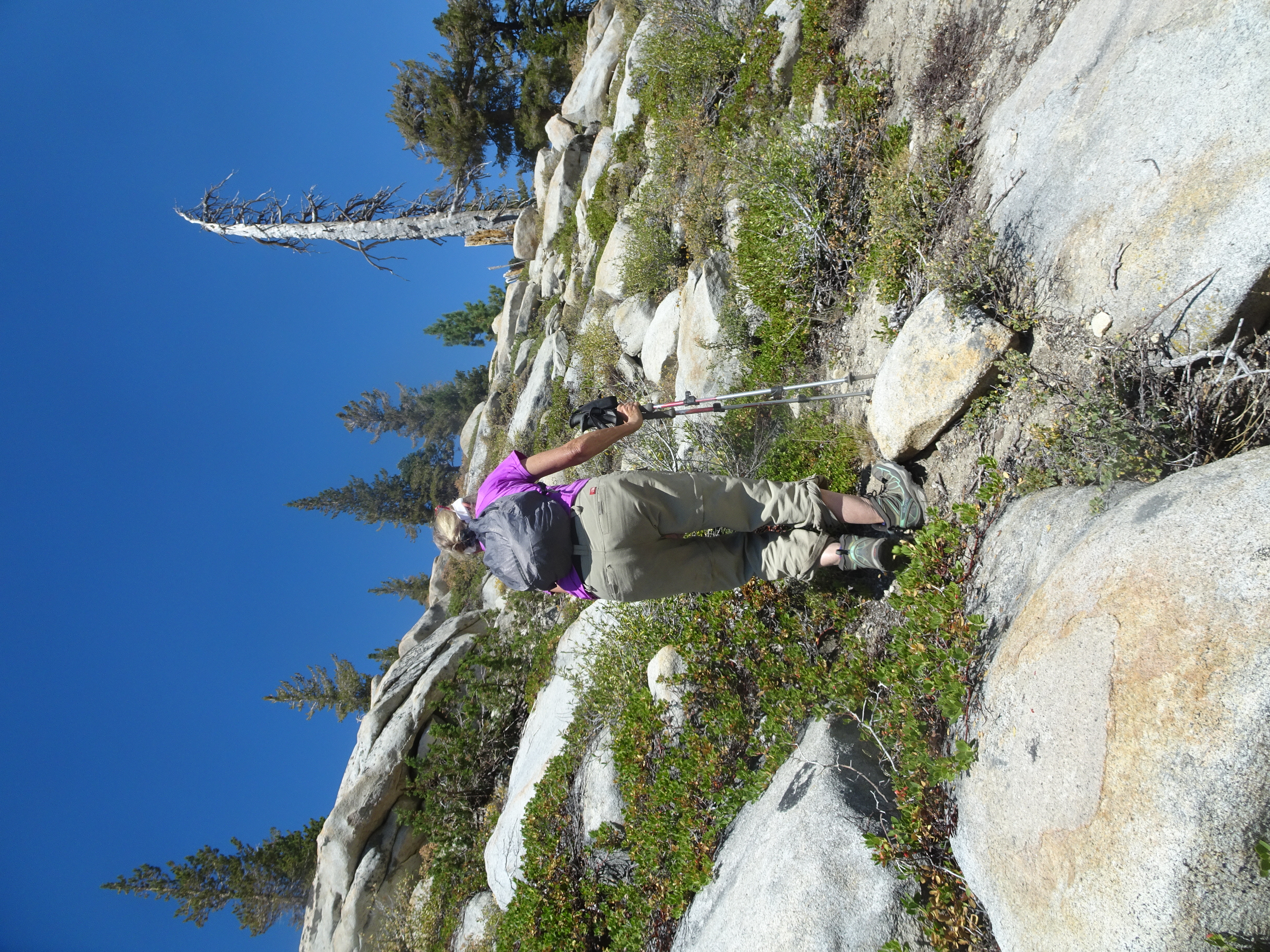
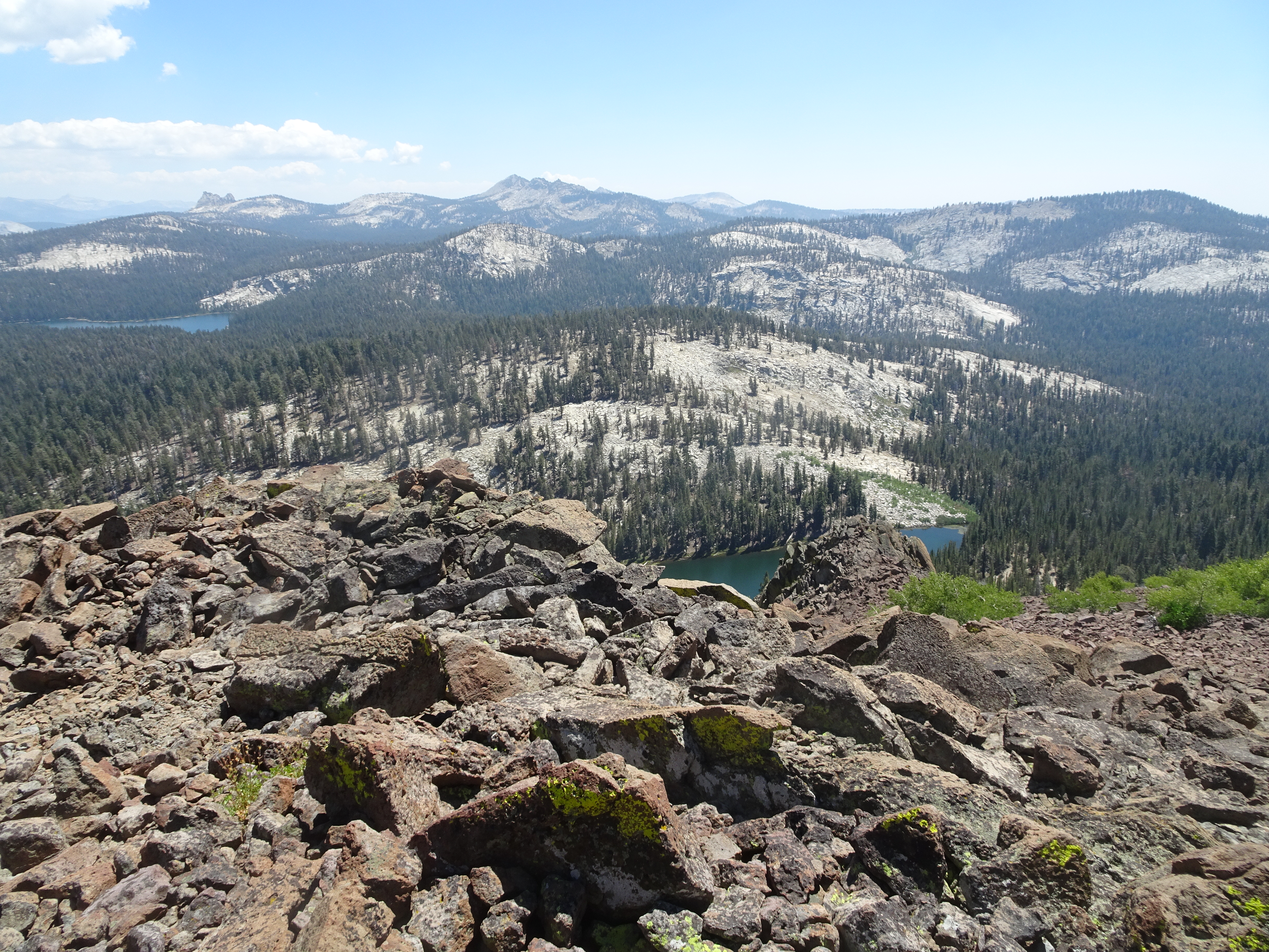
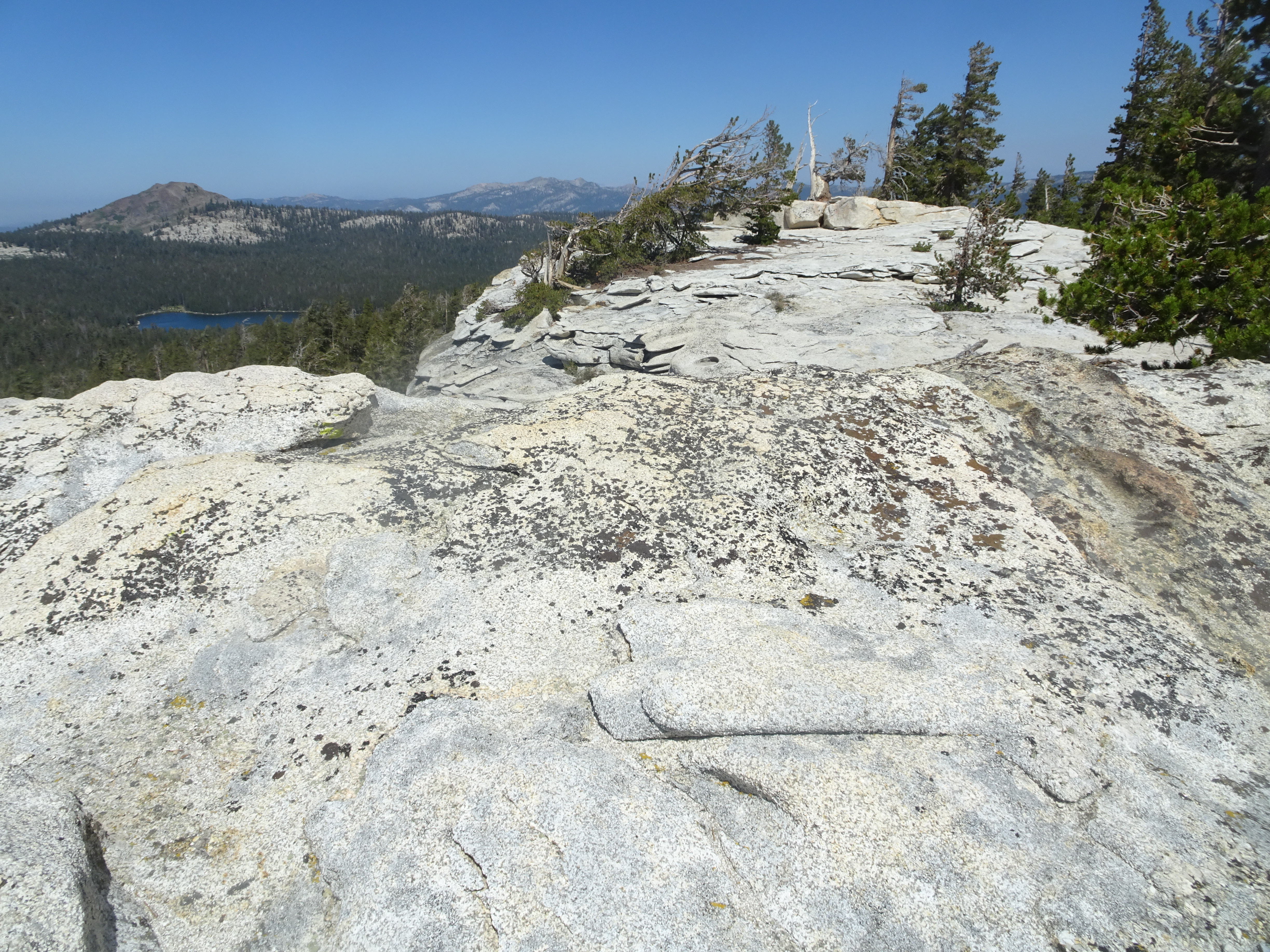
Meanwhile, Jennifer went up the ridge behind our campsite. Upon Bob's return, he also went up to the ridge with Jennifer. The following are views from that ridge.
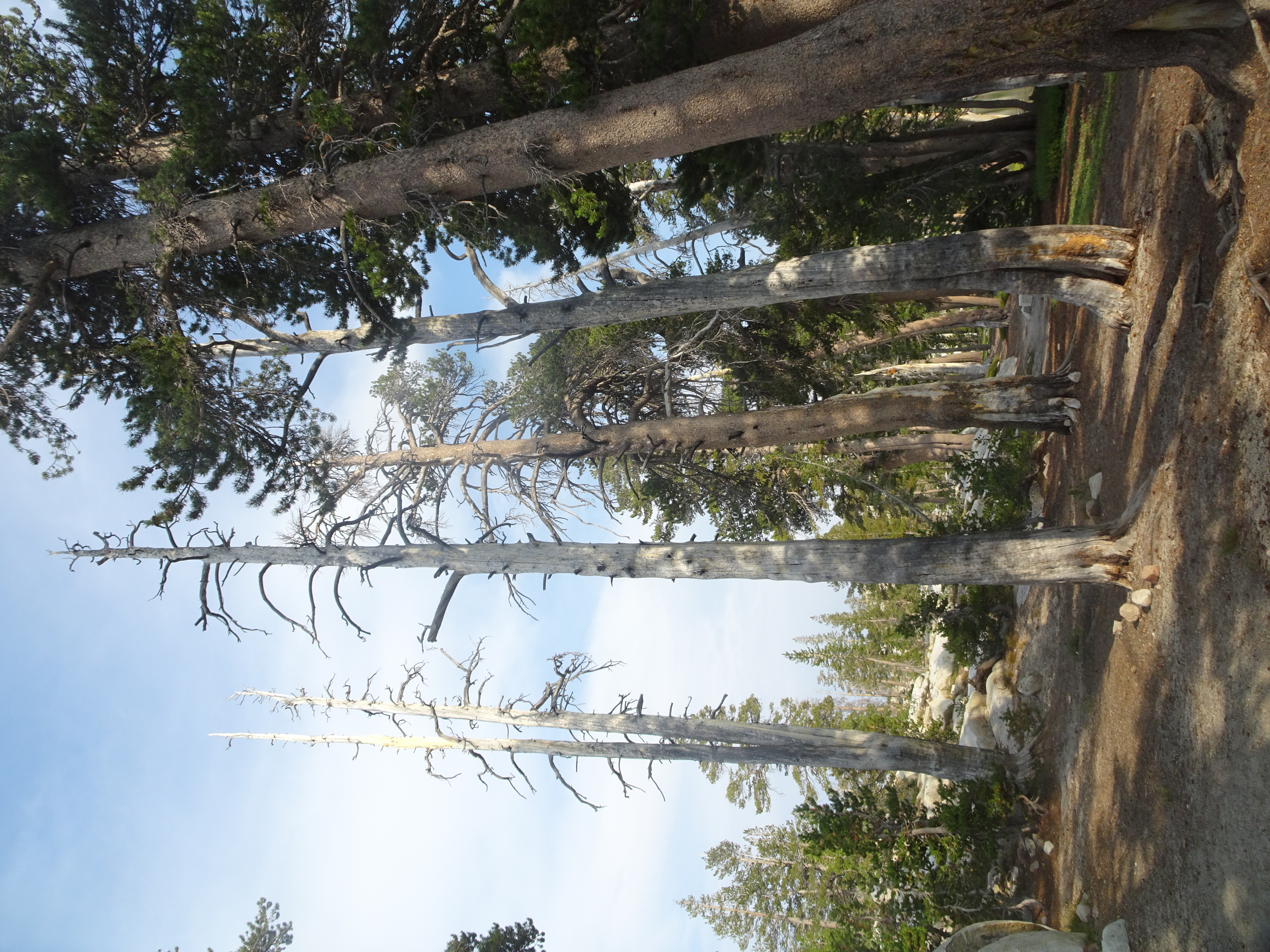
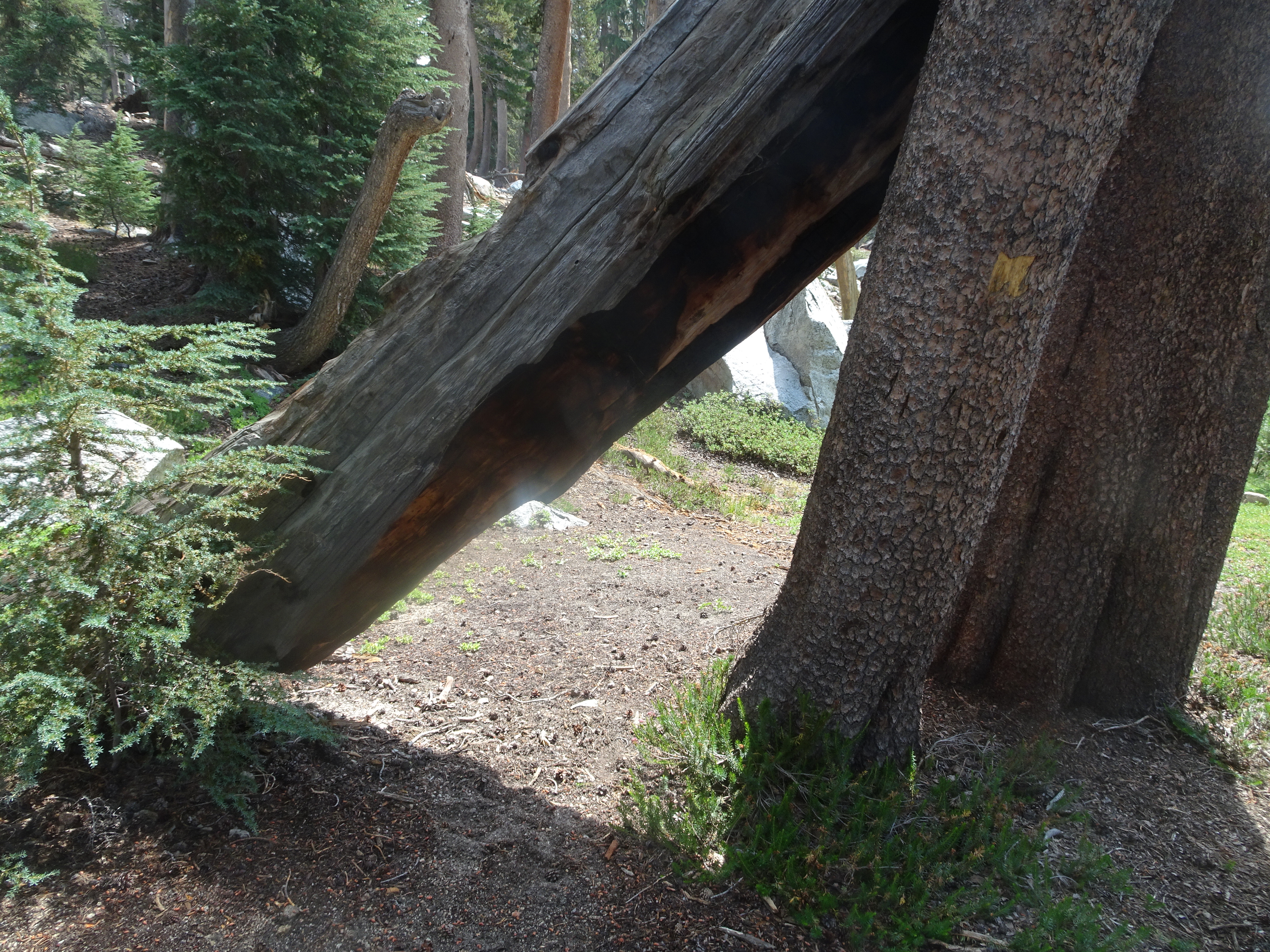
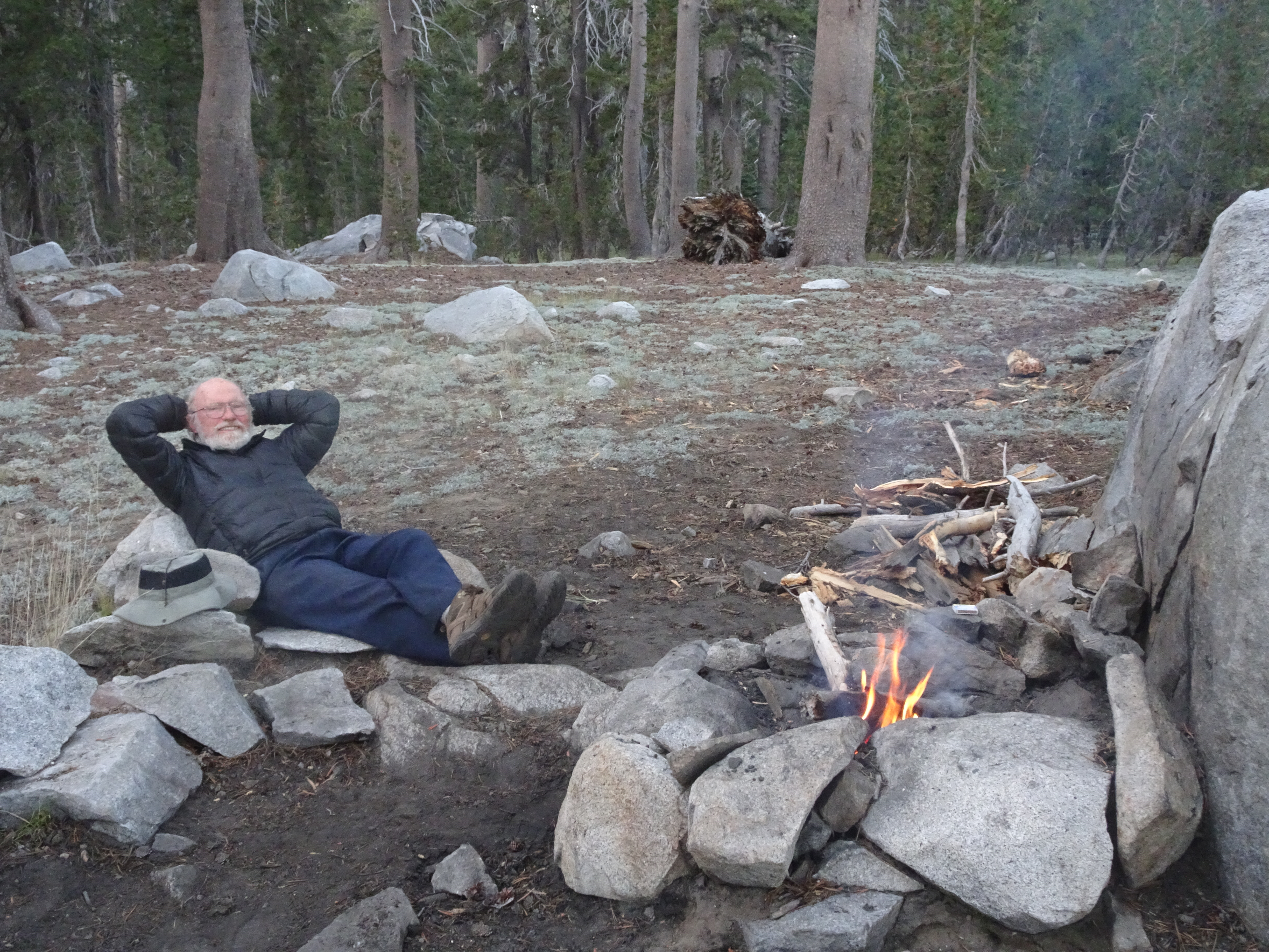
As Jennifer was preparing dinner, Bob took pictures of trees around the camp that emphasized how many dead or dieing trees there were here in the wilderness, presumably from drought and bark beetles.
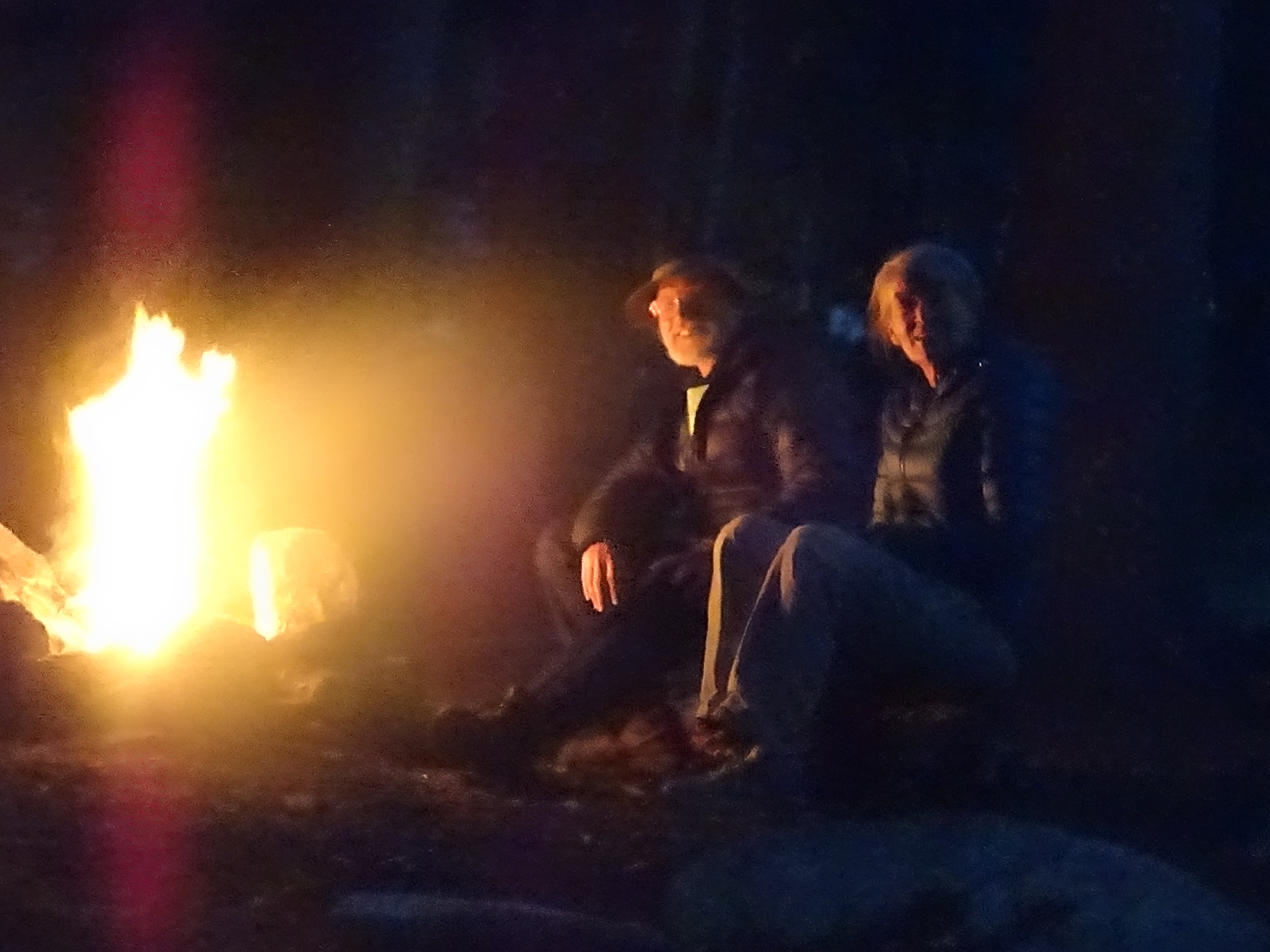
After Jennifer prepared dinner and Bob cleaned dishes, we started a fire and talked about various subjects, including a Netflix series named The Borgias about a Pope and his family in the middle ages. Bob could not remember the name of the series, but agreed to look it up and email it to Jennifer (Done!). Then to bed.
Day 4, Sunday, August 12
Elevation Profile: Hike to ridge overlooking Cliff Lake and back
Dinner: Teriyaki over rice with salmon and veggies Diary: Around 5 am there was a very light drizzle for a few minutes. The rainflies were already up.
After coffee and breakfast, we headed up to the ridge overlooking Courtright Reservoir. We saw smoke in the far distance in all directions.
We then hiked back and then over to the place a bit below Island Lake where we could see Fingerbowl Lake. We began hiking down to the lake, but thunder and clouds changed our minds. We returned to camp, then went up to ridge behind camp to check out the weather. Rain was falling the far distance in the direction of Kings Canyon. As we walked back down to camp there was an amazingly loud wind coming over Island Lake, but no rain. While at the campsite, we met a family of 4 with a dog who were hiking out along the nearby path. Two fishermen had left the lake earlier and now we appeared to have the lake to ourselves.
Back to camp and sleep. No others had shown up at the lake, so we did have it to ourselves.
Day 5, Monday, August 13
Videos:
Elevation Profile: Hike to ridge overlooking Mystery and 3 other lakes and back
Dinner: Green beans, mushrooms, stroganoff. Diary: We hiked down to Fingerbowl Lake, then further down to a ledge where we could see four lakes: Mystery, Swede, South and First Dinkey. On the way back it began to drizzle, so Bob first got under a large dead log, then joined Jennifer under another dead tree to stay dry.
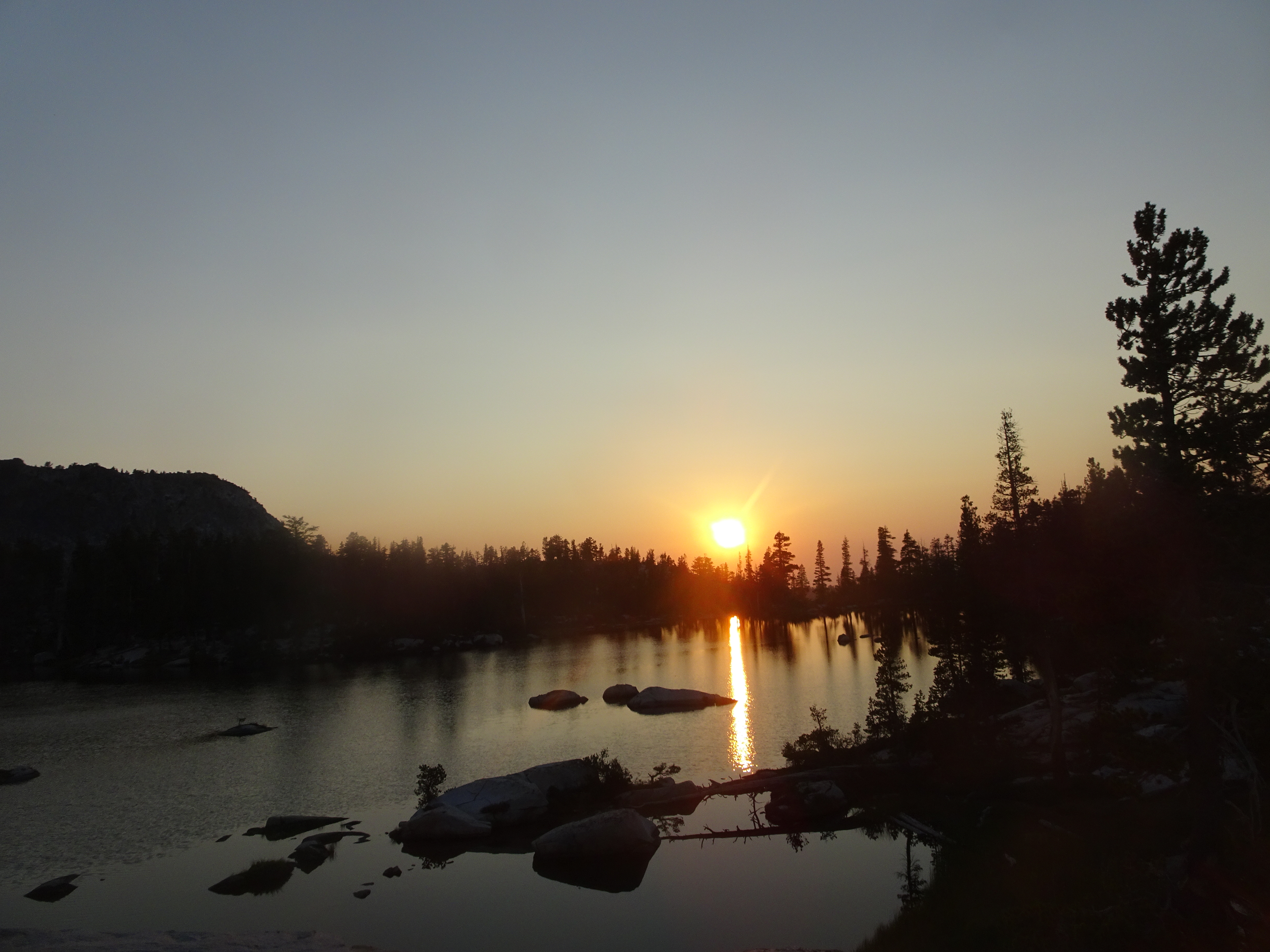
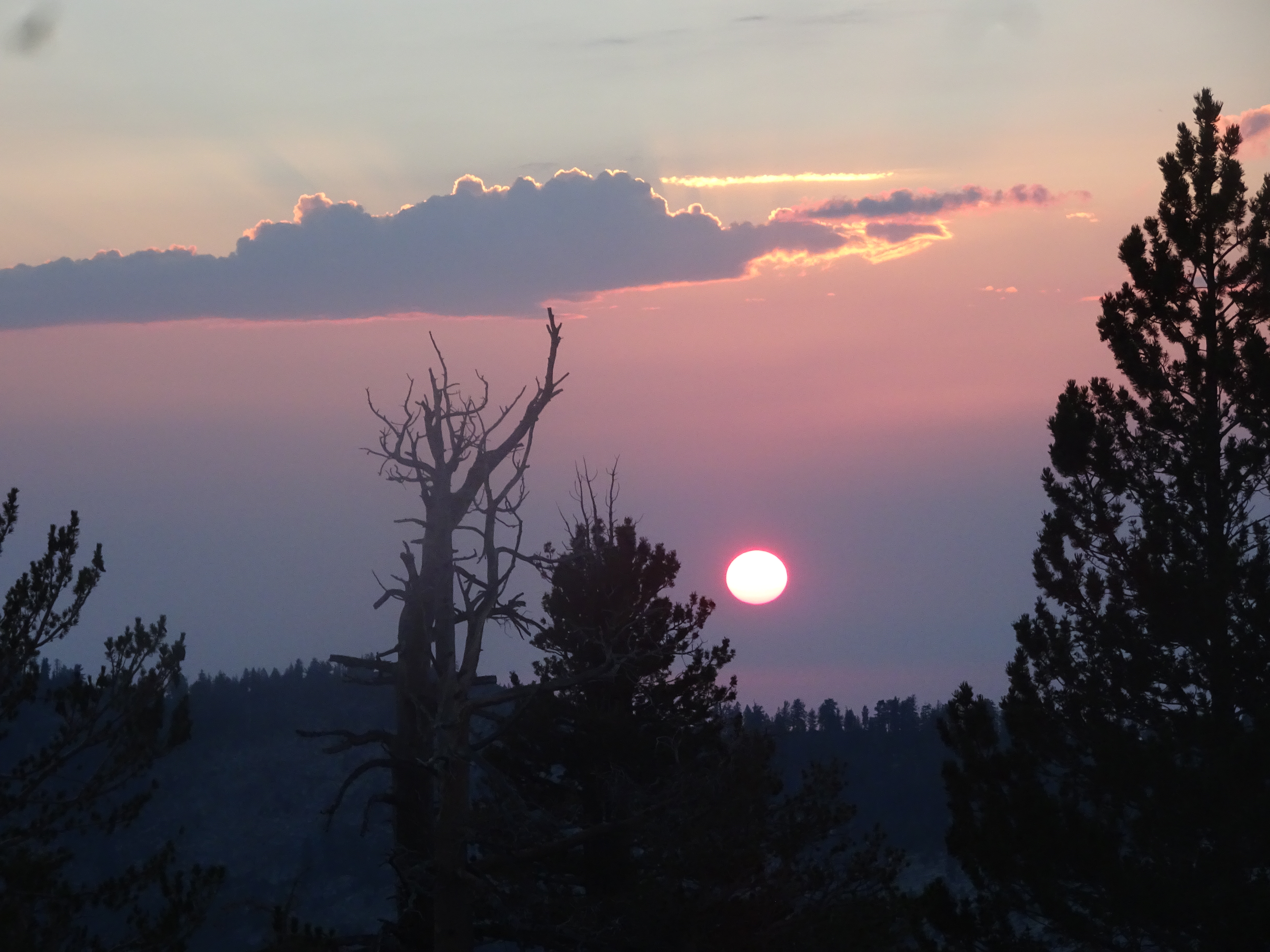
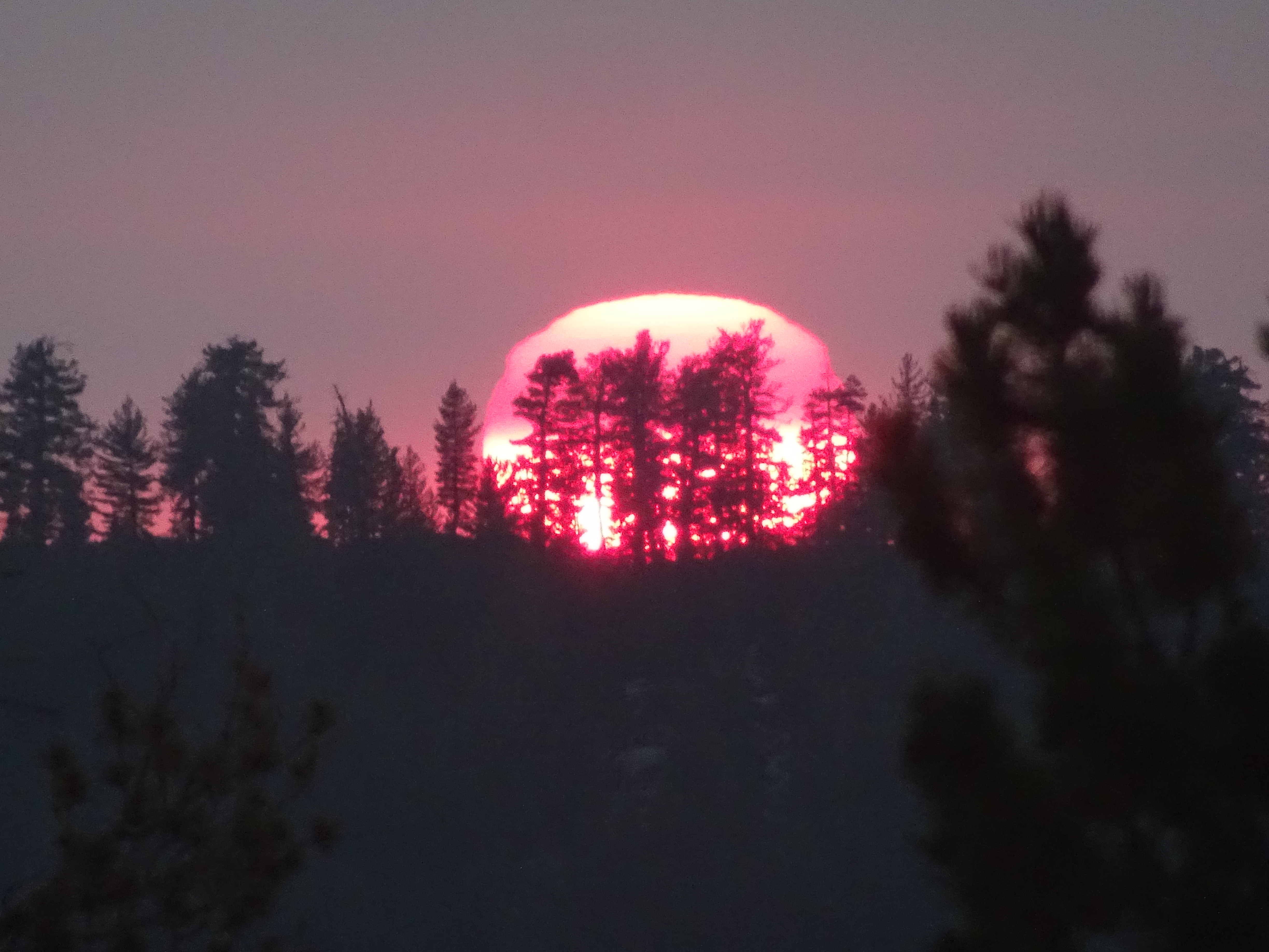
When we got back to Island Lake we met a group of of 7 - 9 backpackers setting up camp who called themselves the "Second Wind". All seemed about our ages - 60's and 70's. We got back to camp, had lunch, and awaited thunder storm and rain, which never came. Went back up to ledge behind campsite and saw thunderstorms over Kings Canyon. Back down to dinner and watching the sun set through smoke. Jennifer saw fish in the lake jump completely out of the water. We built a fire and stayed up late.
That night, looking up through her tent roof, Jennifer saw shooting stars.
Day 6, Tuesday, August 14
Videos:
Backpack Elevation Profile (understates distance):
Elevation Profile: Hike to Cliff Lake and back
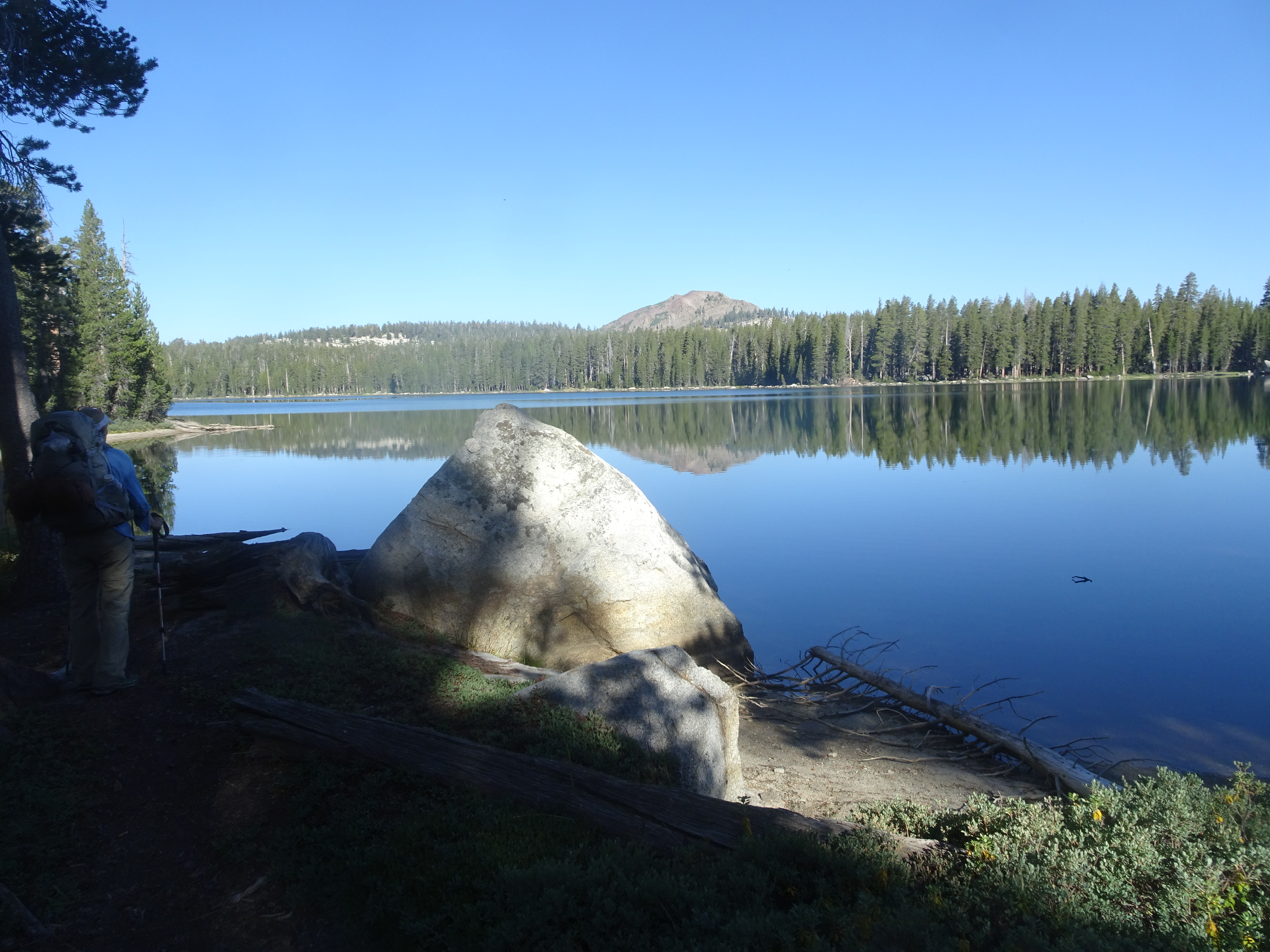
Dinner: Eggplant Parmesan and mixed vegetables. Diary: We backpacked 1/2 mile from Island Lake to Second Dinkey Lake and set up camp.
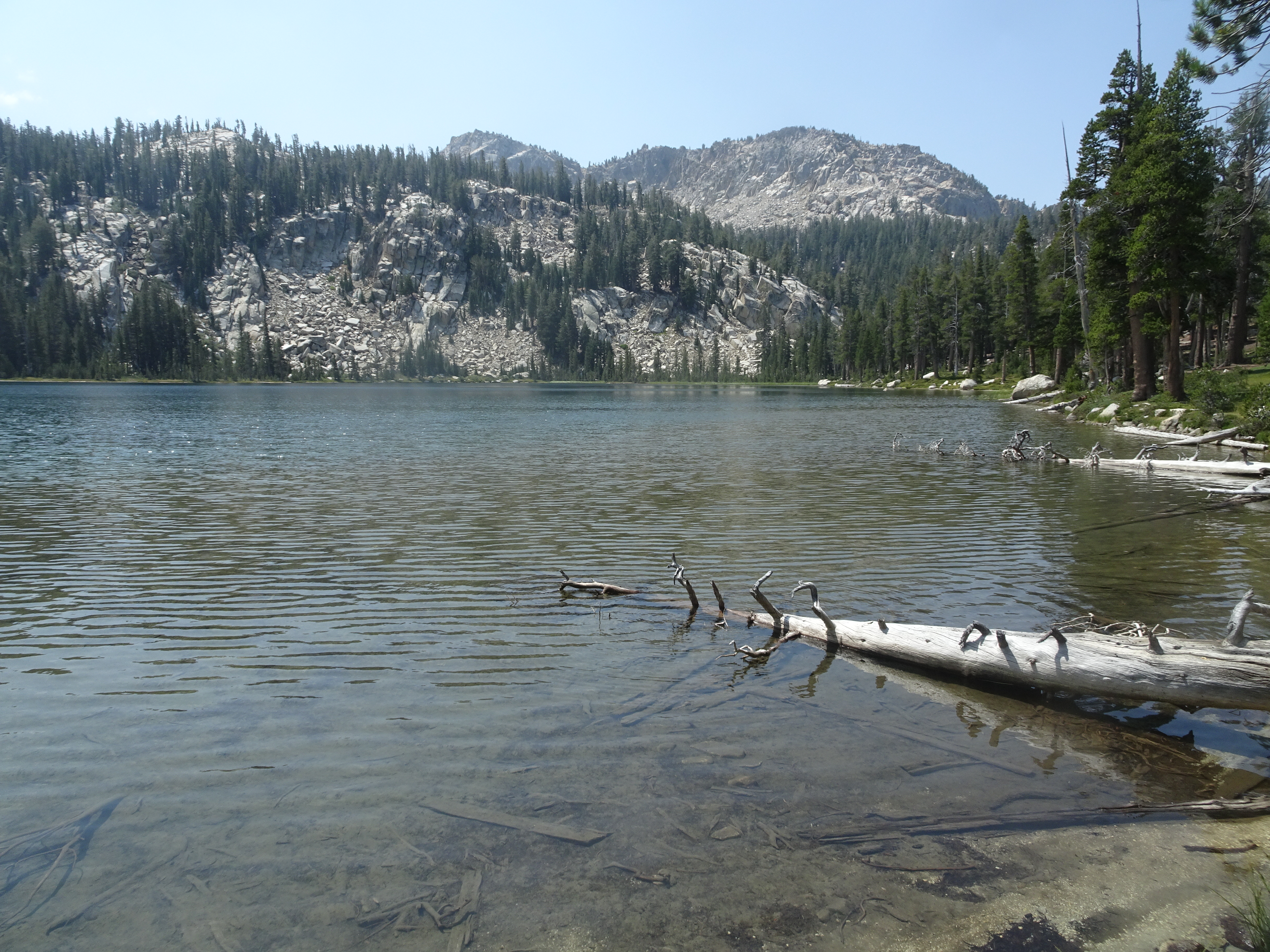
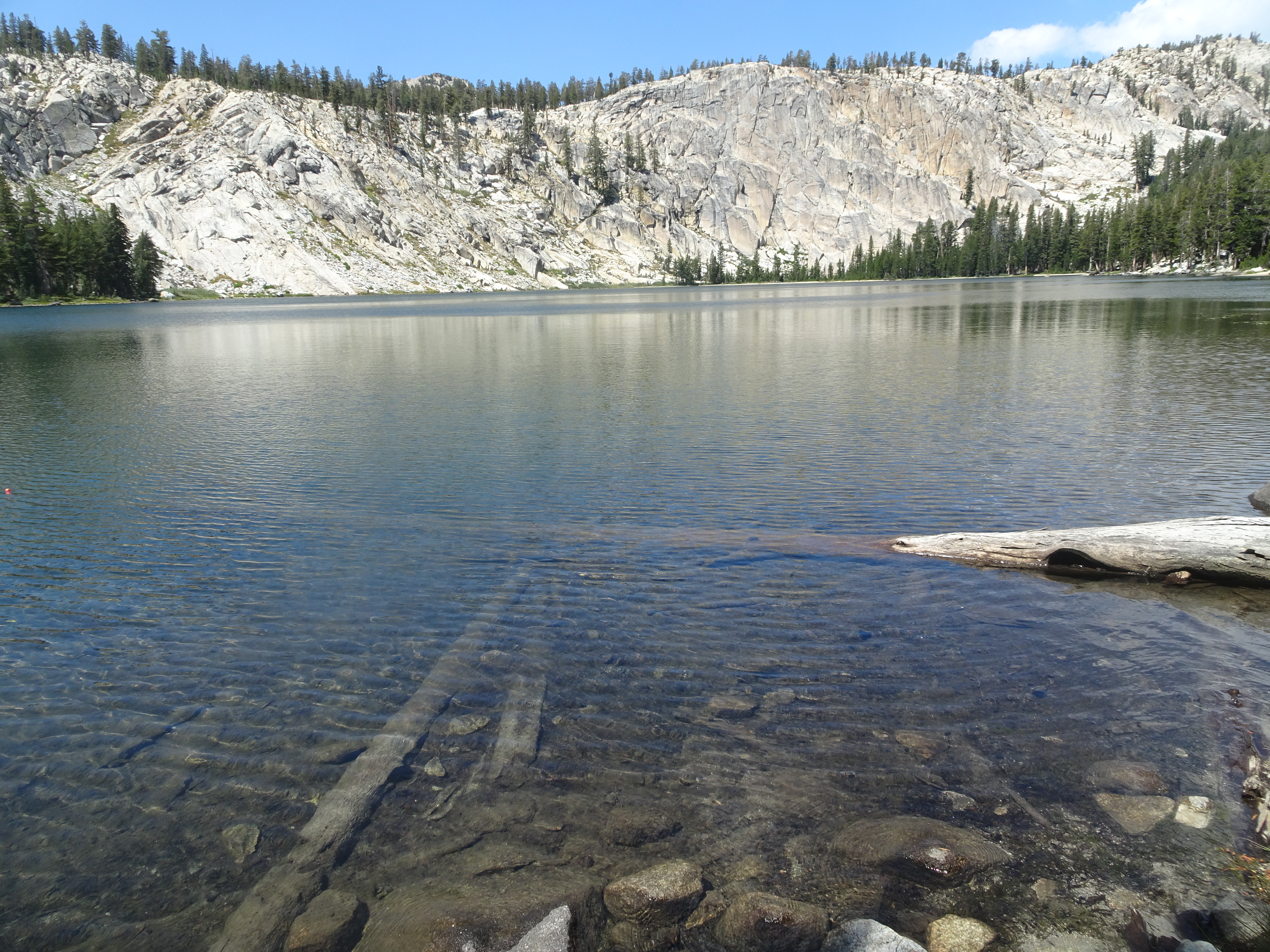
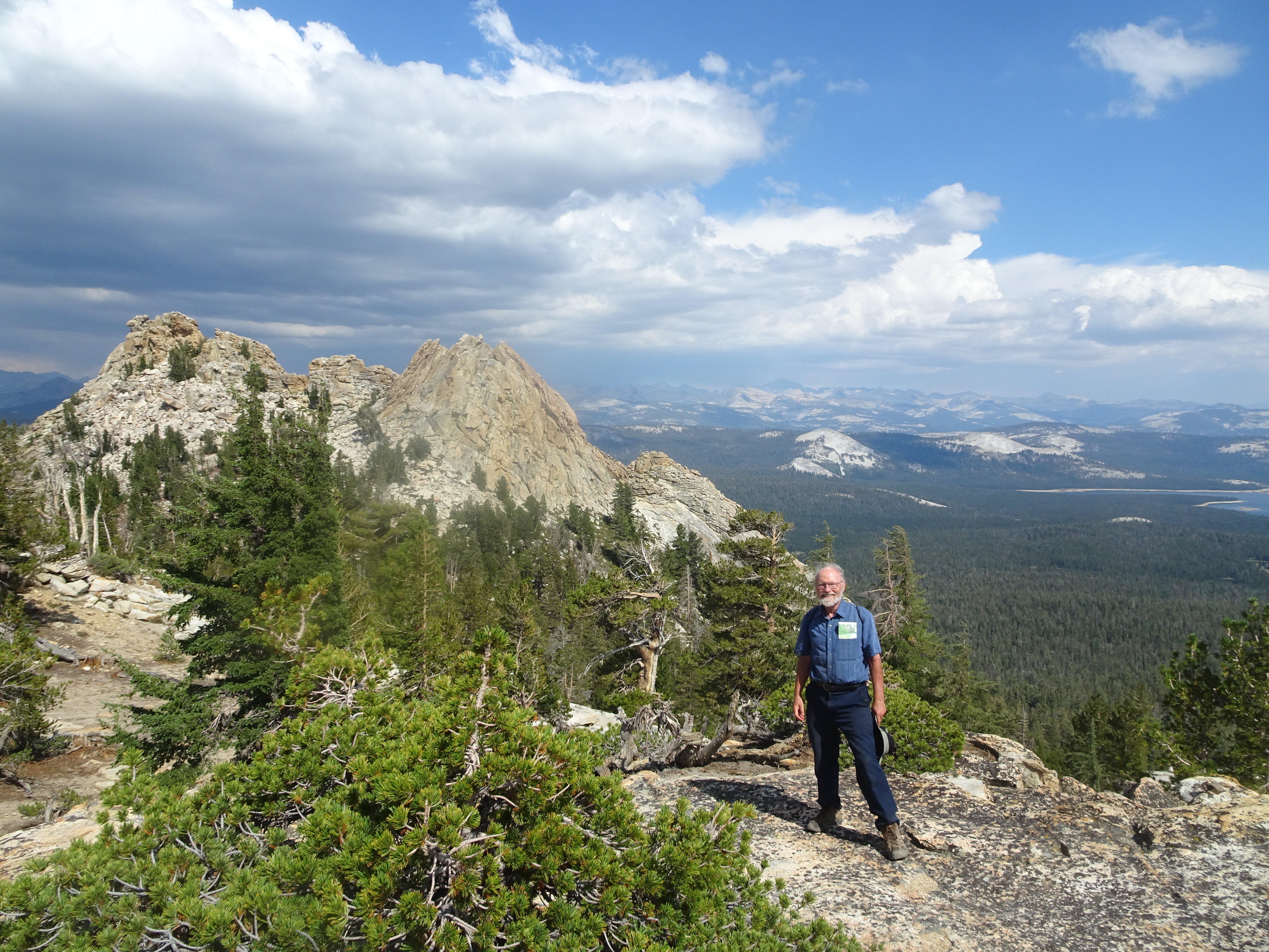
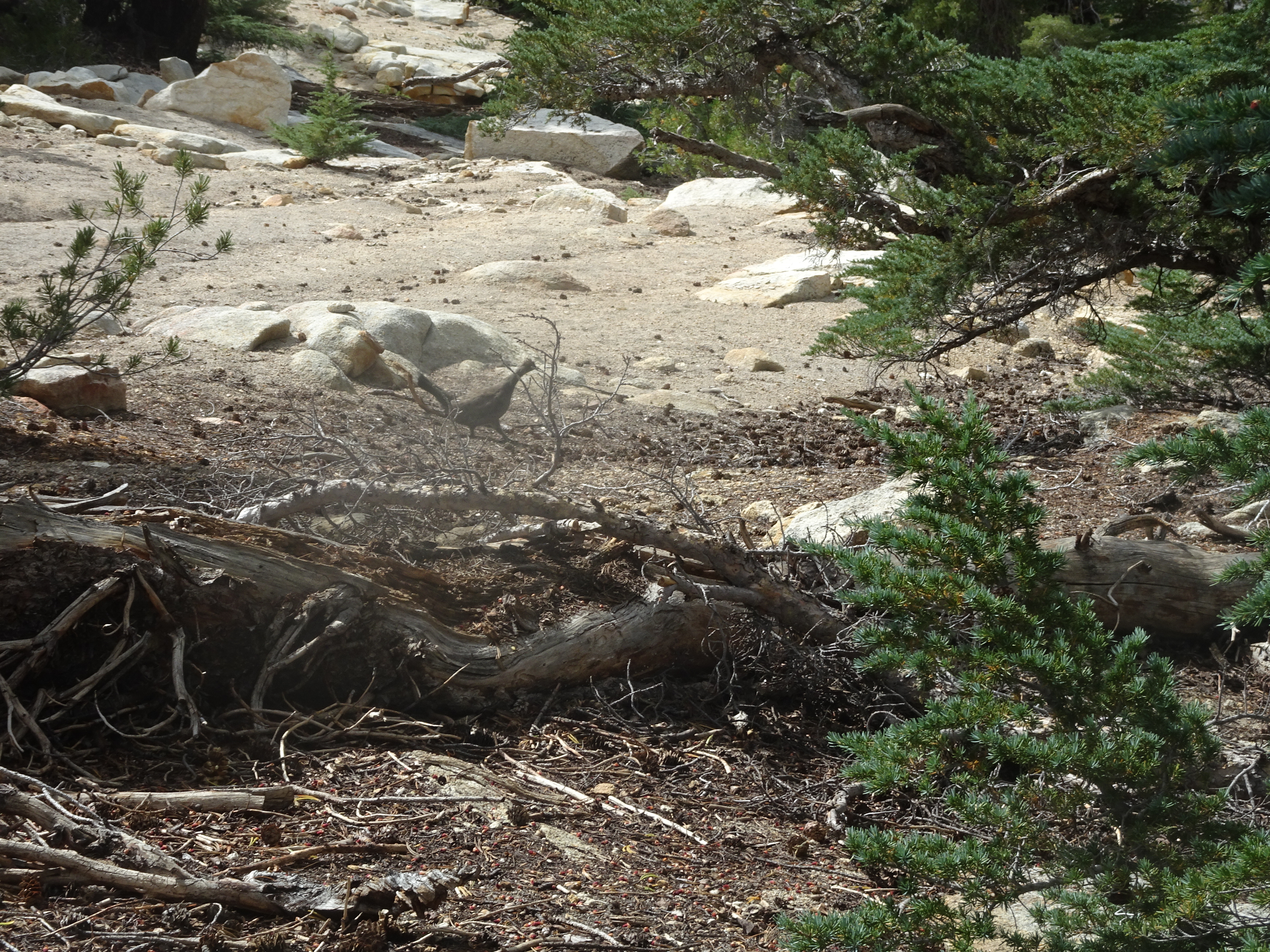
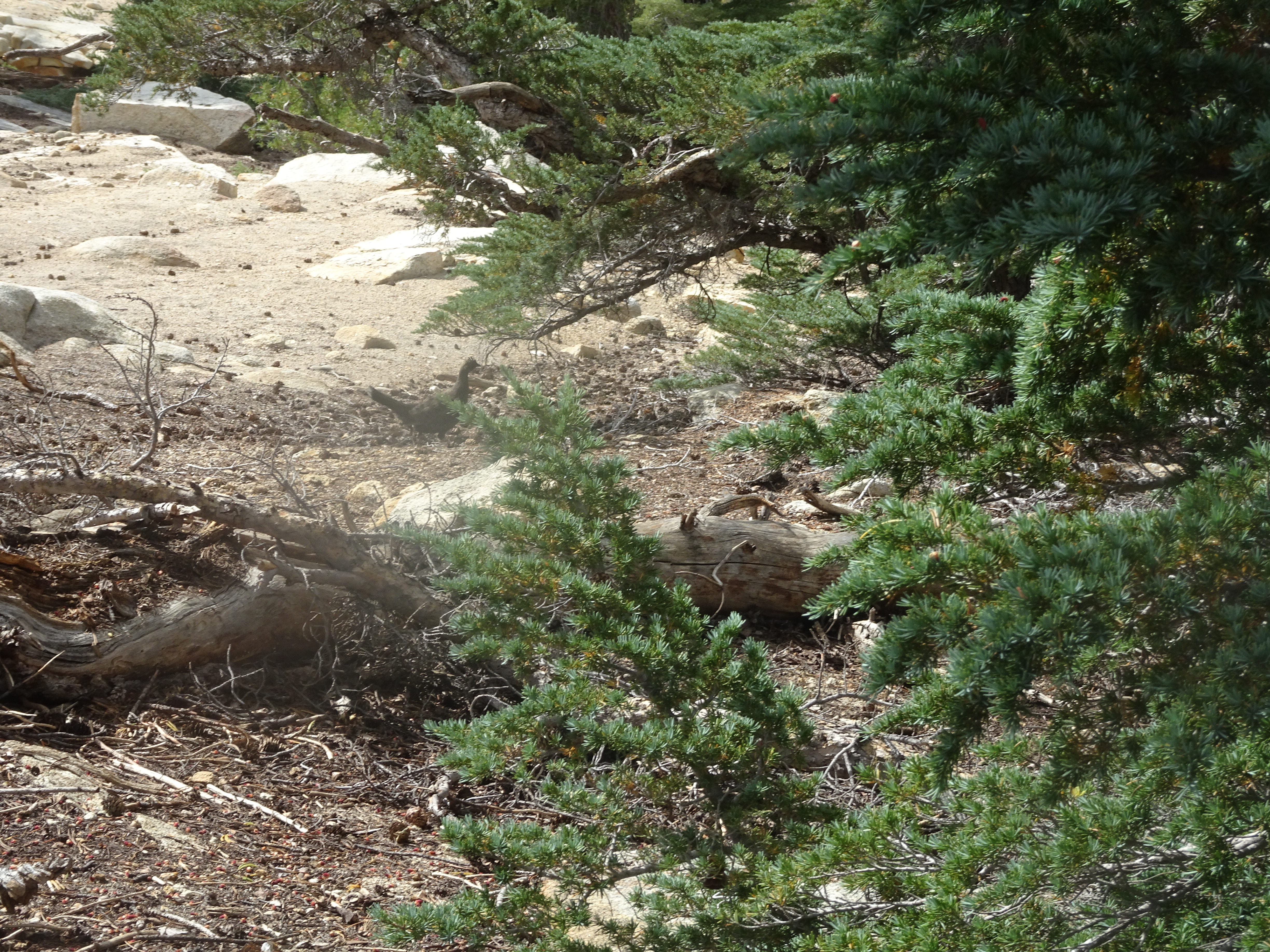
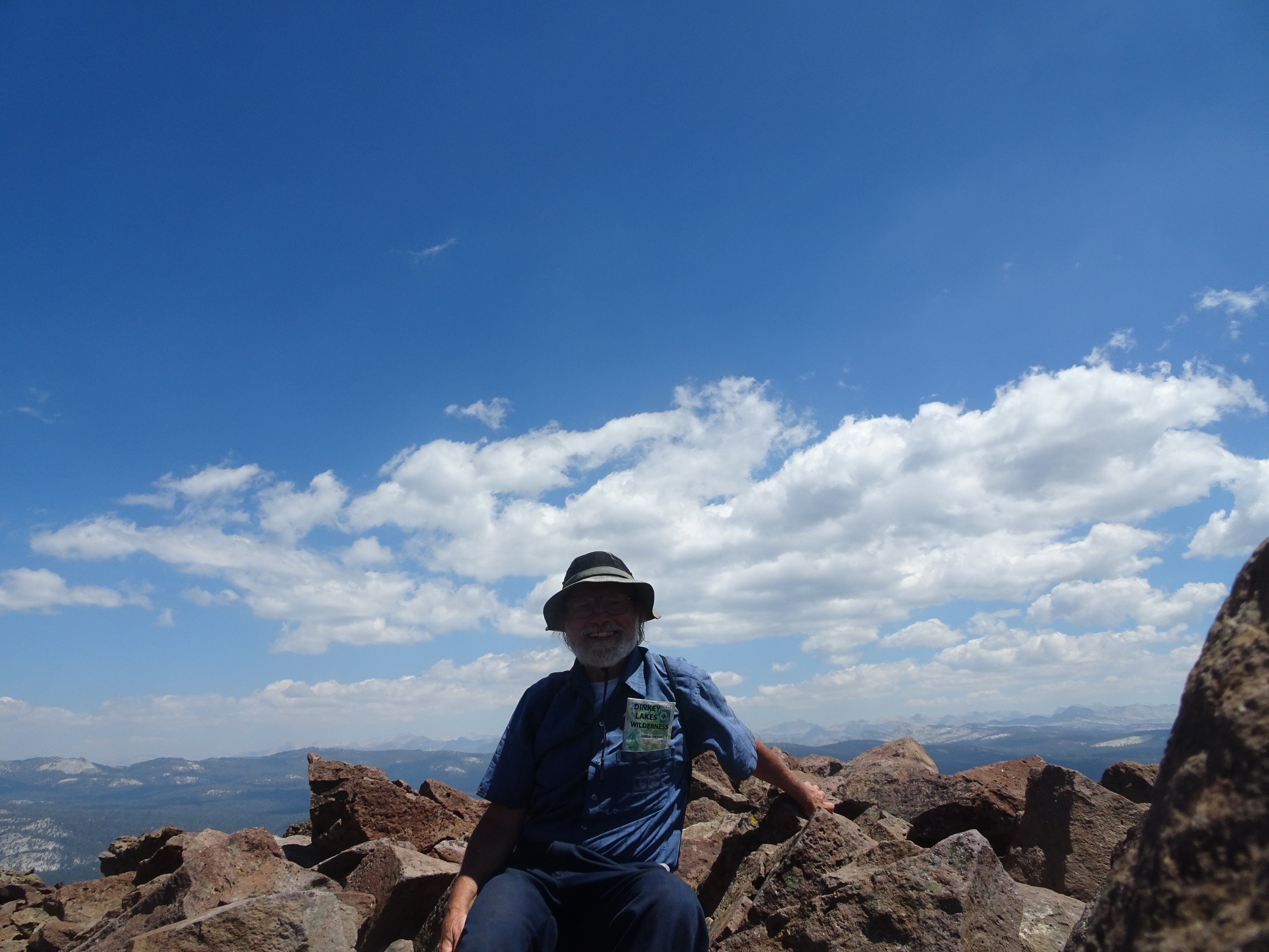
Then we day hiked to Cliff Lake (dropping in elevation 9,600' to 9,438'), which was about 2 miles one way, and took us over a pass of 9,920'. On the way we passed Rock Lake (and saw a grouse close up) and got a look at Christenson Lake. At Cliff Lake we ate lunch, saw one guy, tried to Steripen water, but batteries had gone dead (new batteries were back at camp).
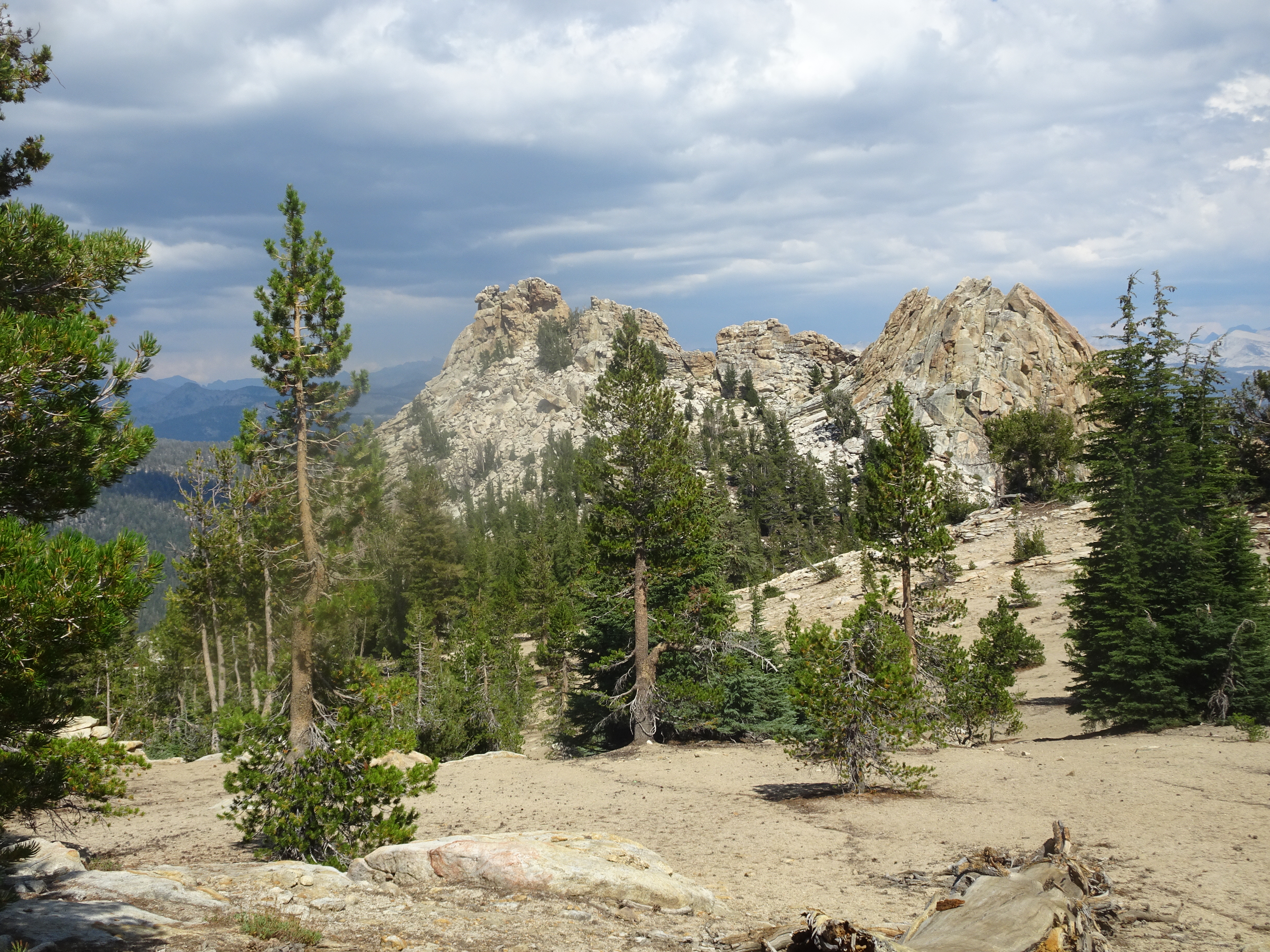
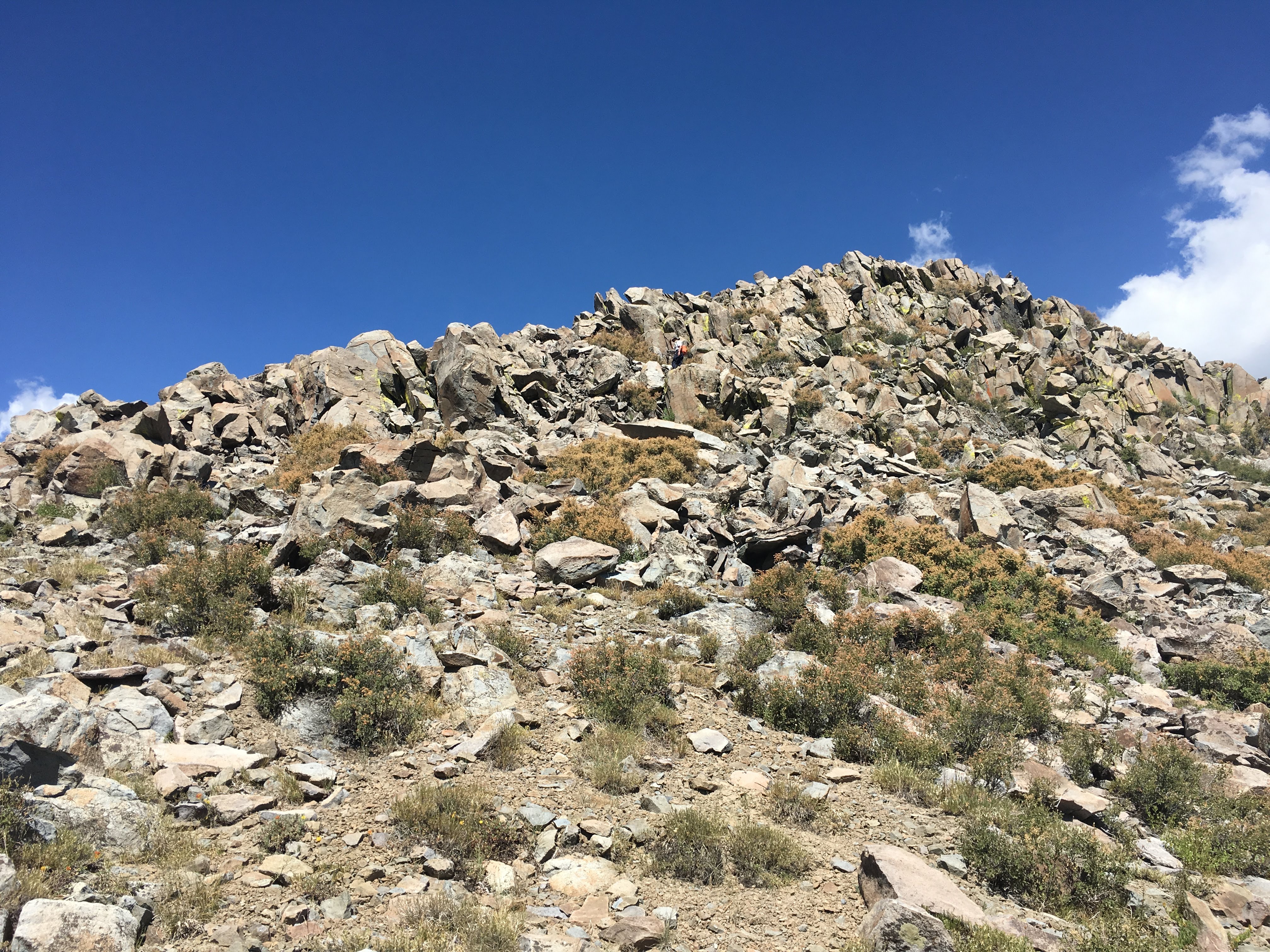
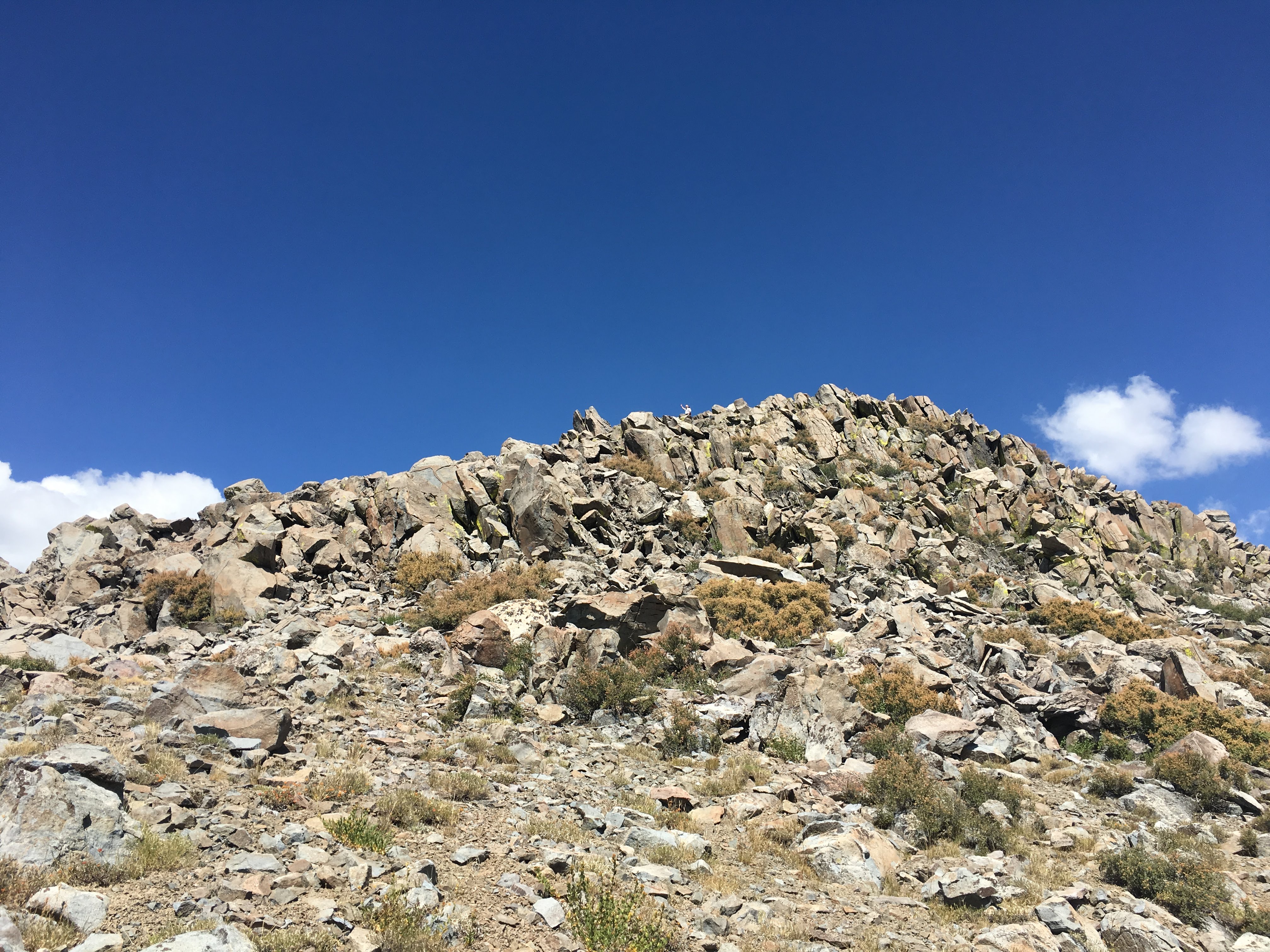
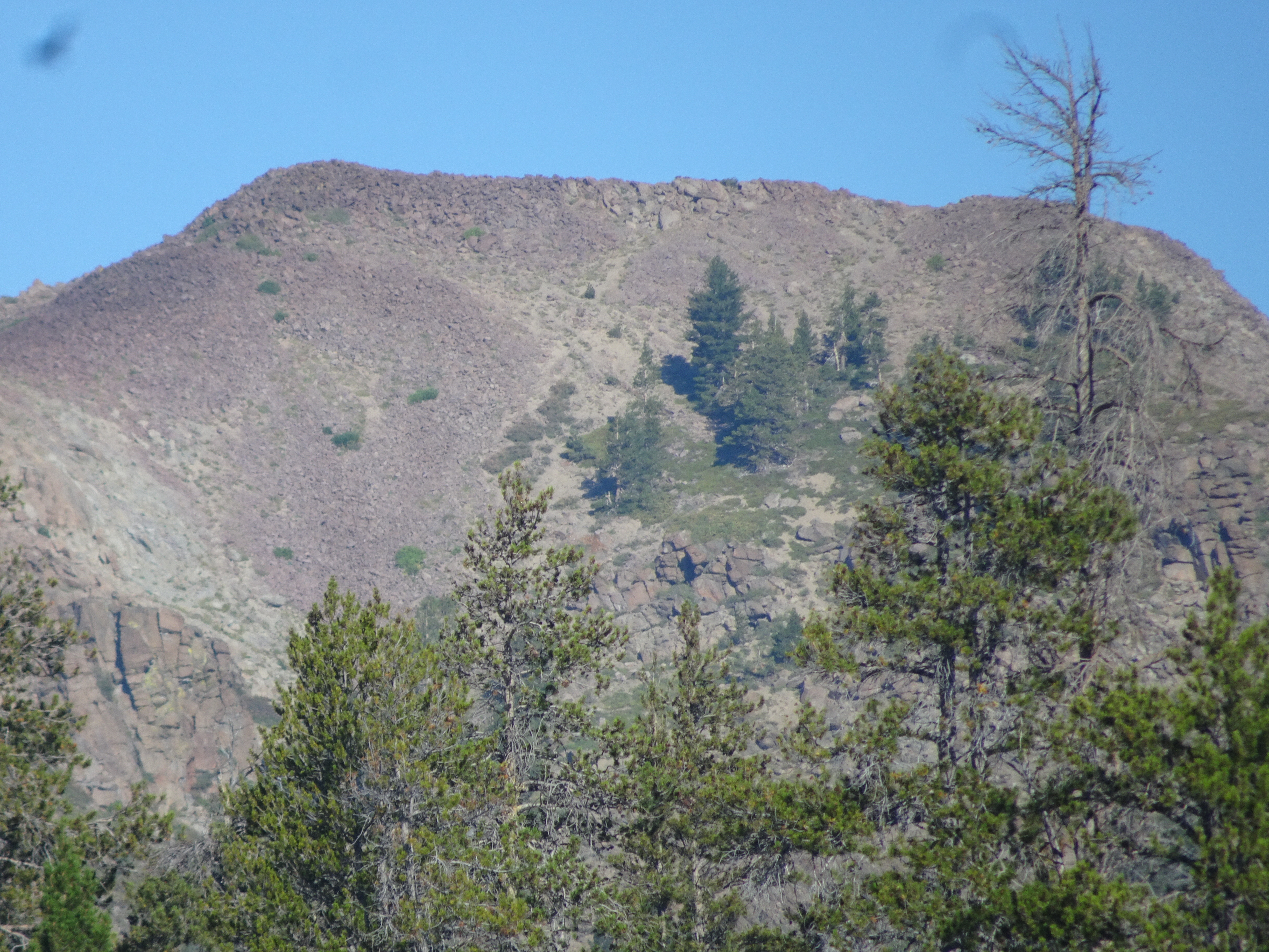
On the way back, when we got to the pass, we climbed up to the peak just across from Dogtooth Peak, checked our phones for reception (Bob got limited reception but in fact could never send a message). We got wonderful views.
Then Bob went down and up a small canyon to the base of Dogtooth Peak itself while Jennifer waited.
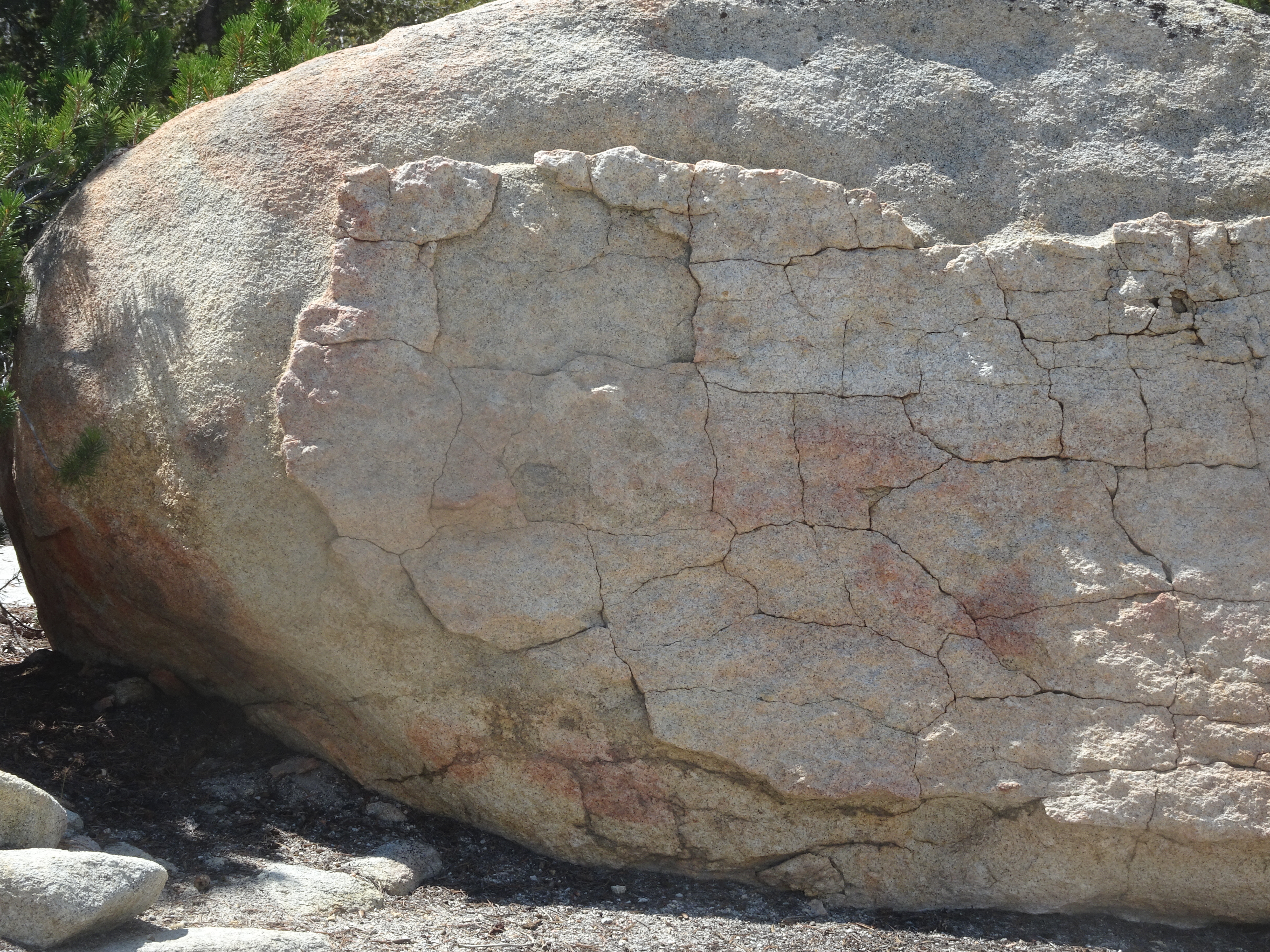
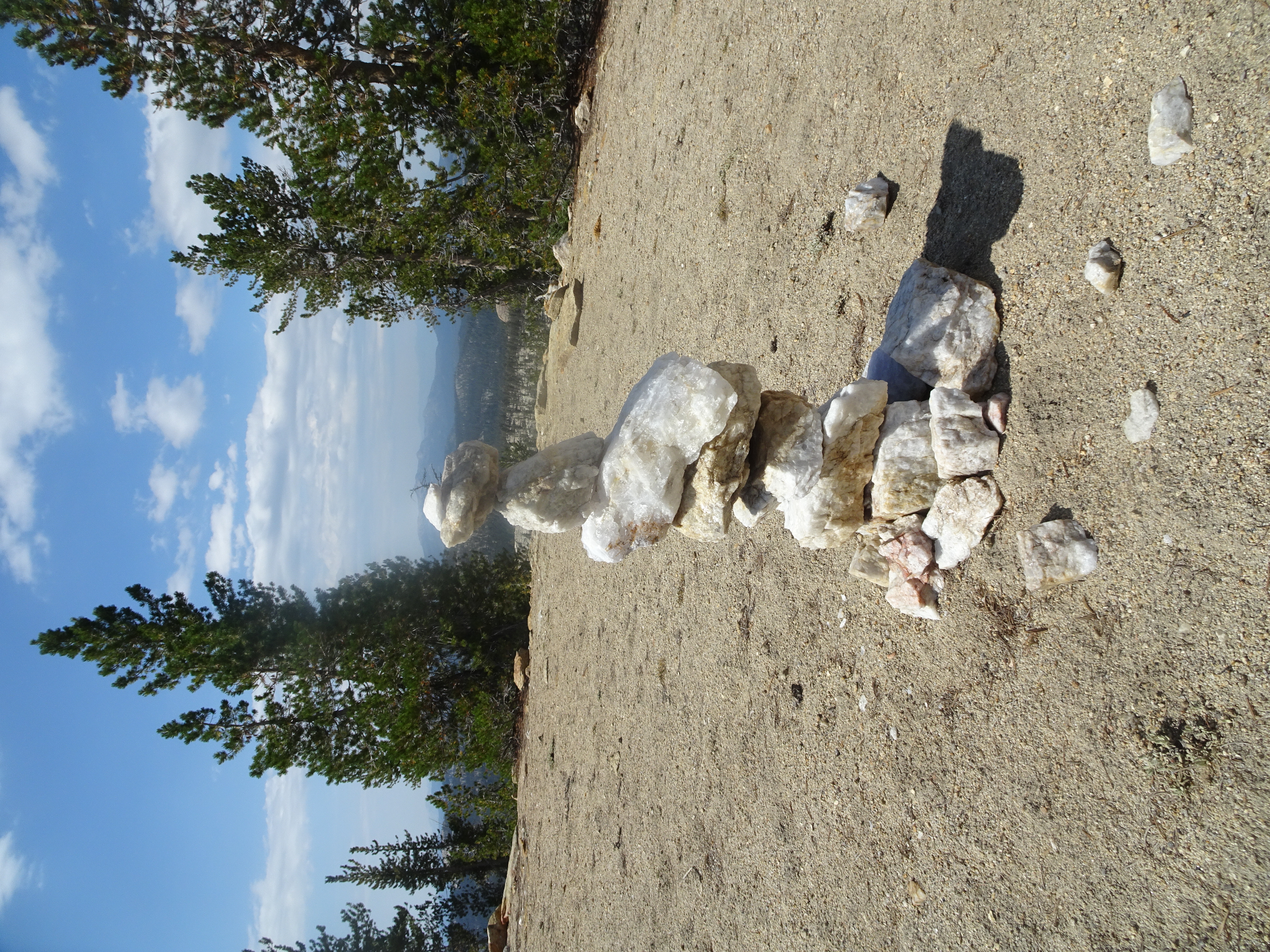
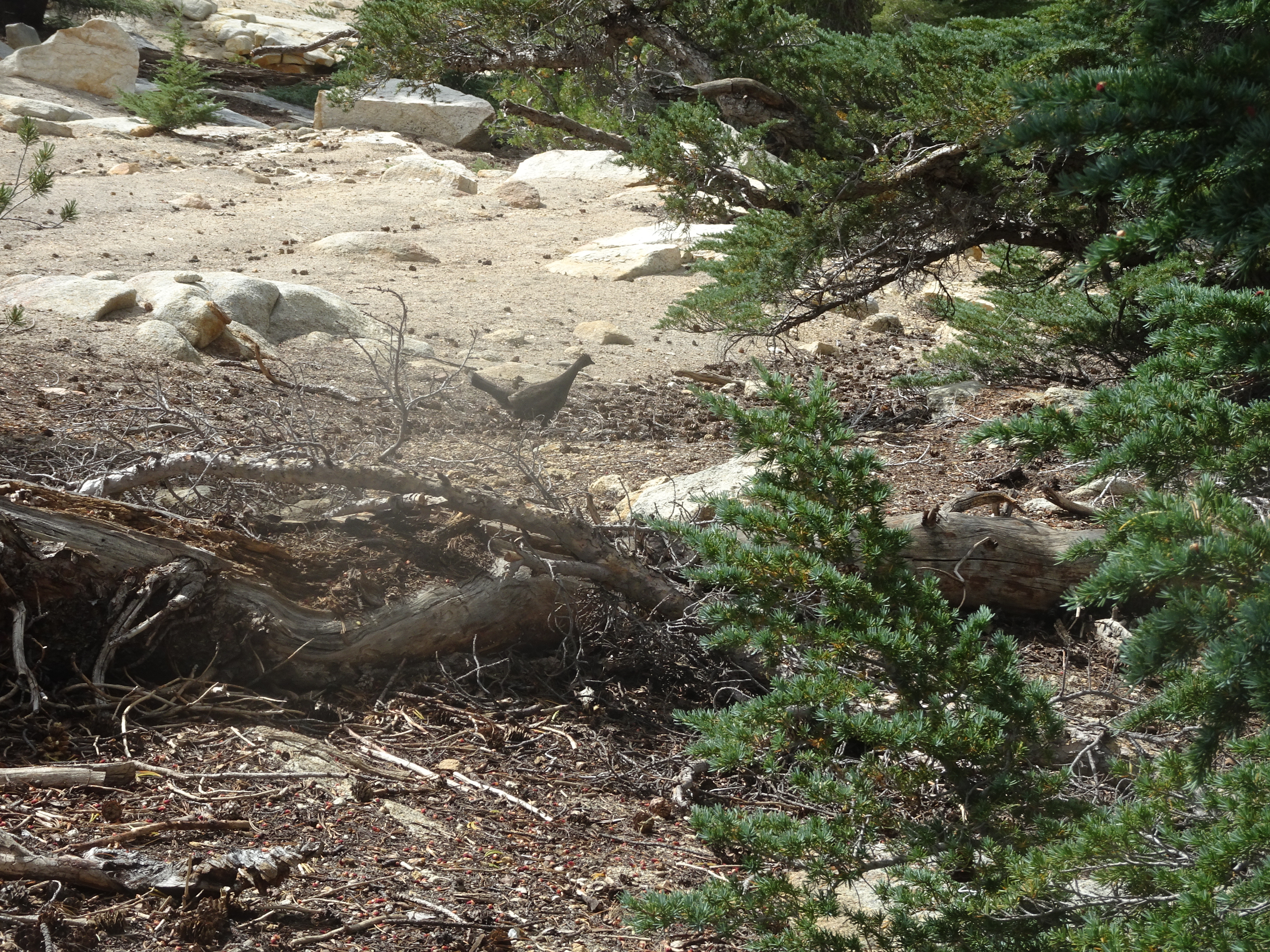
Bob then returned to the first peak with Jennifer and saw another grouse. We also saw a small field of what looked like marble rocks (no doubt the source of a marble rock cairn someone had built on the first peak).
Day 7, Wednesday, August 15
Elevation Profile: Backpack from Dinkey Lake 2 to Mystery Lake
Elevation Profile: Hike to Trail Head and back
Dinner: Pad Thai with cashews and side dish of broccoli Diary: This was the day to re-stock. We backpacked to Mystery Lake, set up camp, ate lunch, and sorted out what we would take back with us to the car. And we saw wildlife: a garter snake!
We hiked to the parking lot at the trail head where we were parked. And immediately found the car battery dead, probably because even though all doors were locked shut, one was not completely shut. We transferred items between the car trunk and the backpack, including all the food for the next 6 days. Then a couple arrived and agreed to let us use Bob's cable to connect car batteries and start up the car, which was successful. We let the car run for about a half hour to give the battery a chance to charge up. A couple of guys with European accents arrived and agreed to email Bill and Ann about our staying the entire time at Dinkey Lakes (we had originally intended to spend the last half of the trip in the vicinity of Edison Lake). We then hiked back to Mystery Lake, which we had to ourselves that night.
Day 8, Thursday, August 16
Elevation Profile: Backpack from Mystery Lake to Second Dinkey Lake
Elevation Profile: Hike to summit of Black Peak and back
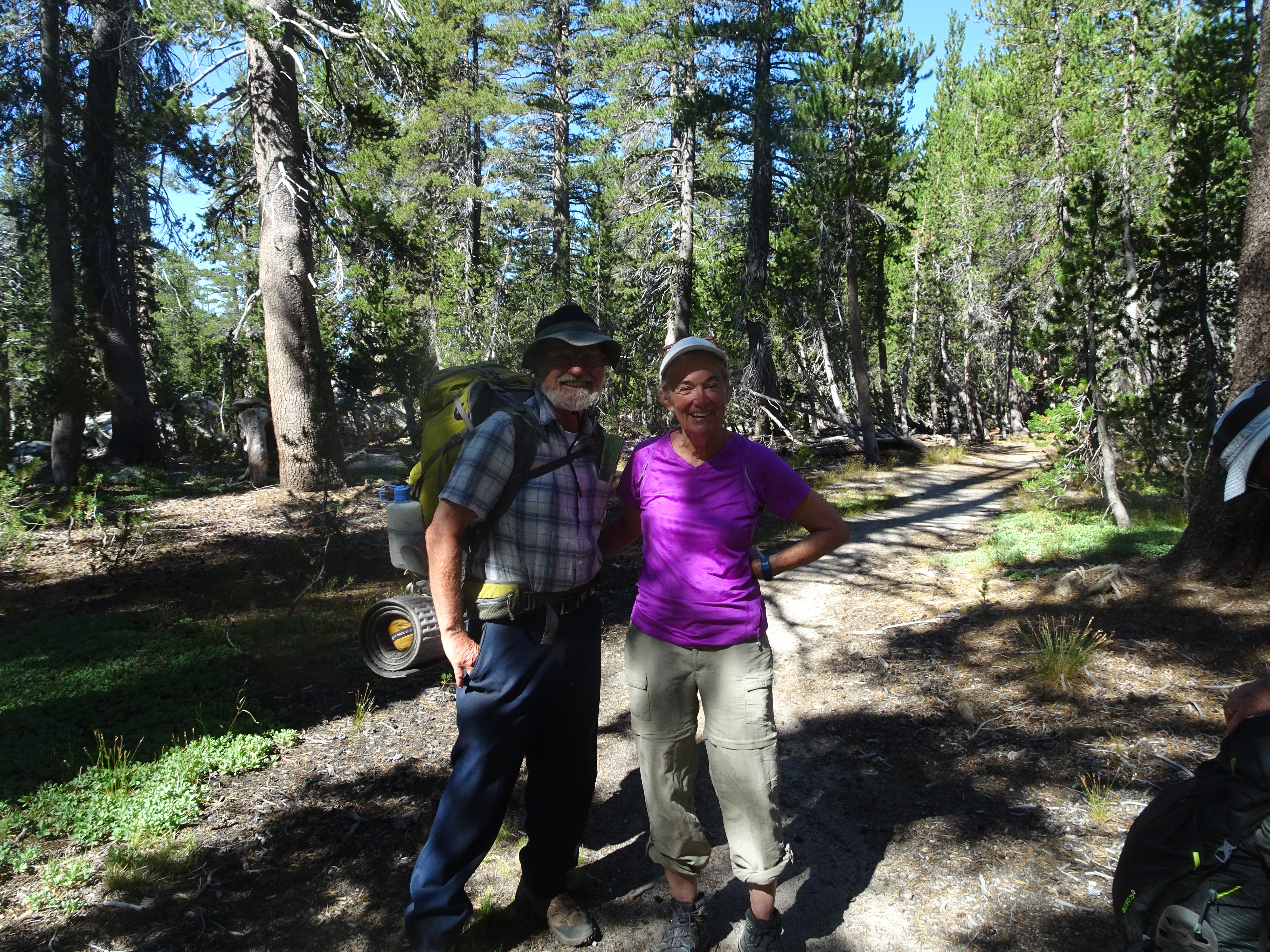
Dinner: Quinoa, lentils, salsa and greens. Diary: Backpacked from Mystery Lake to First Dinkey Lake where we set up camp. Along the way we ran into 3 guys from Houston, Tahoe, and San Diego we had met yesterday. They were headed out tonight to email Anne and Bill and also said they would stop at the ranger station to inform the rangers we would be in the Wilderness an extra week beyond what our permit said. We took each other's photos.
After setting up camp, we began a day hike to Rock Meadows, but decided it was uninteresting. However, it did pass Black Peak, so we hiked there and went up to near the top. Then Bob completed the hike to the peak while Jennifer waited below.
After the peak climb, we returned to camp. We also decided that the next day we would backpack to Coyote Lake, do a day hike Saturday, return to First Dinkey Lake on Sunday, and backpack out Monday. Once again, we had a lake to ourselves that night.
Day 9, Friday, August 17
Elevation Profile: Backpack from First Dinkey Lake to Coyote Lake
Elevation Profile: Hike around Coyote Lake
Dinner: Macaroni and cheese and broccolli Diary: In the morning, before starting our backpack to Coyote Lake, we took some photos of First Dinkey Lake, and had breakfast and coffee.
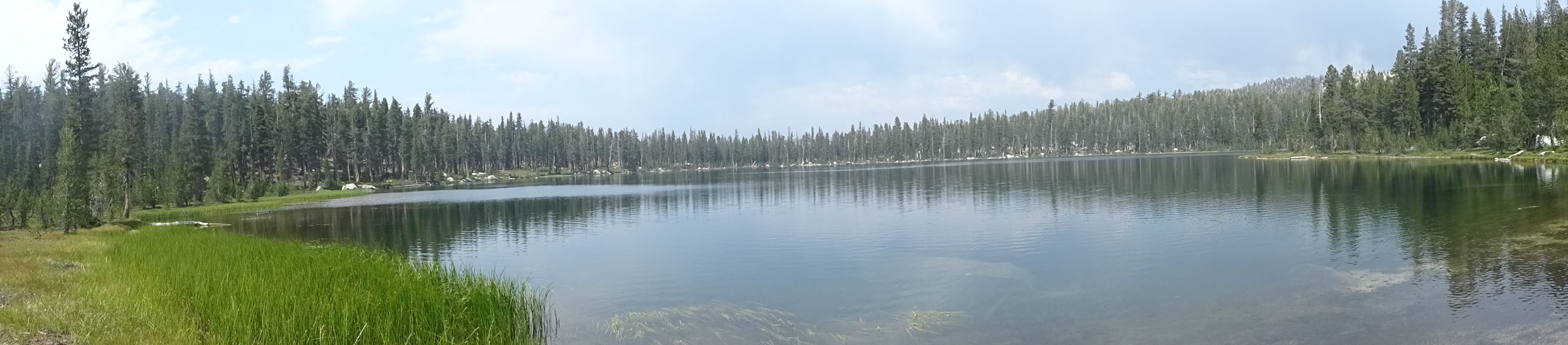
We backpacked to Coyote Lake, then hiked all the way around the lake.
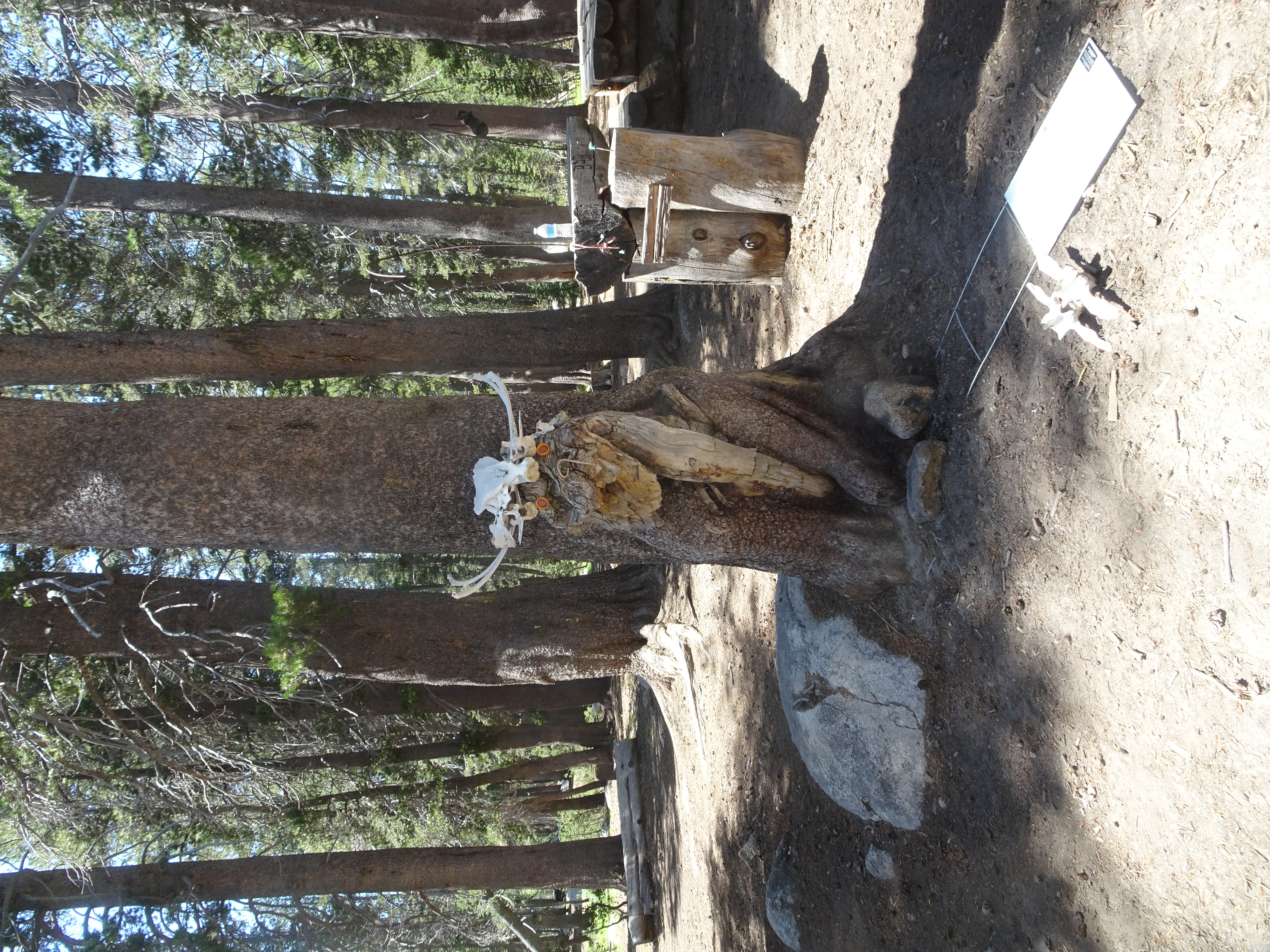
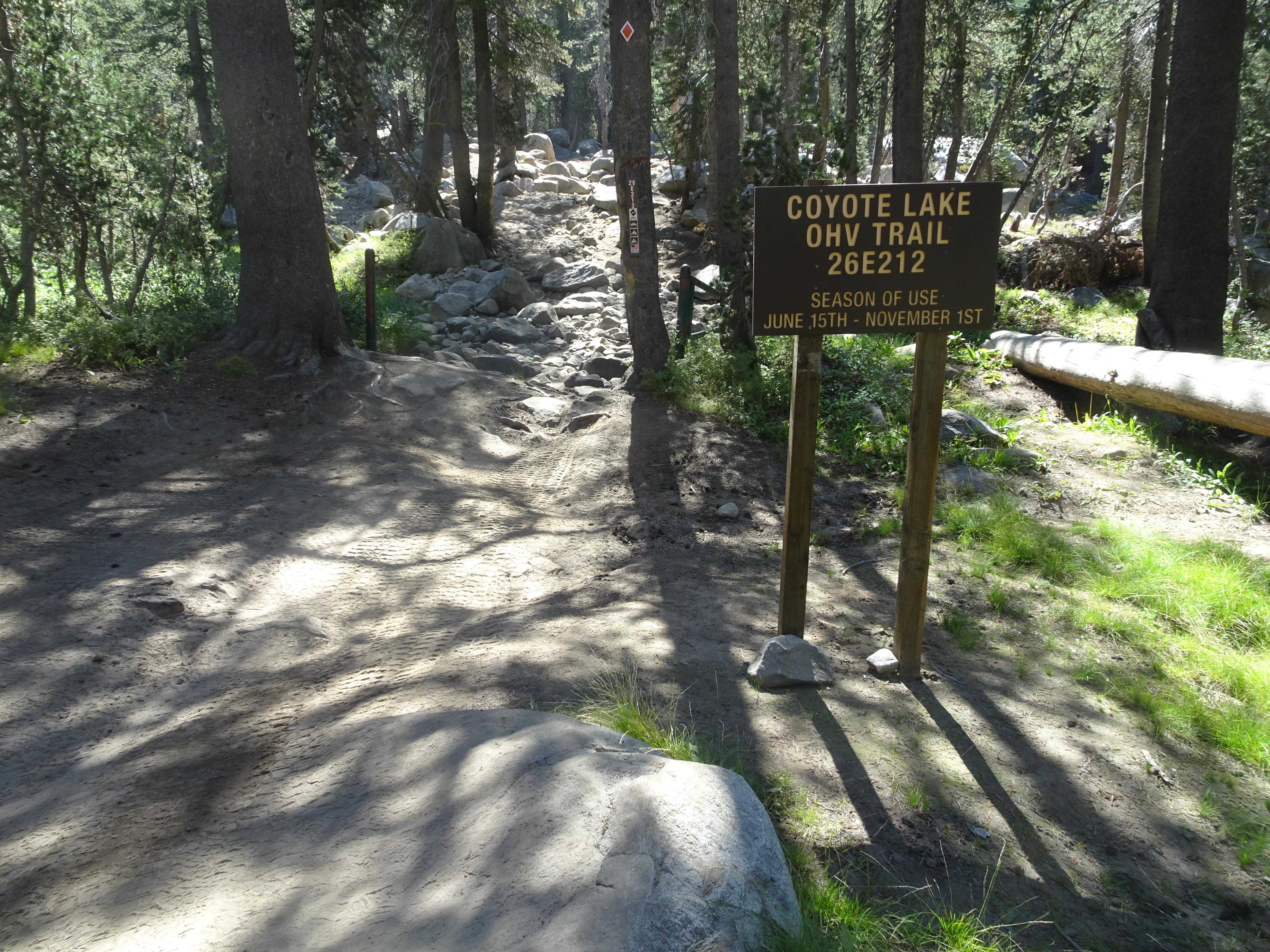
Along the way we saw evidence of cows and then the cows themselves. The shore of Coyote Lake is mostly in the Wilderness, except where the OHV (Off Highway Vehicles) ends at a camping area. We found only 3 fire pits in the Wilderness. At the OHV site, we saw a pile of bones and them more bones forming "art work" on a tree. We also met a guy about our age using a metal detector to sweep the ground. So far he had found only a penny.
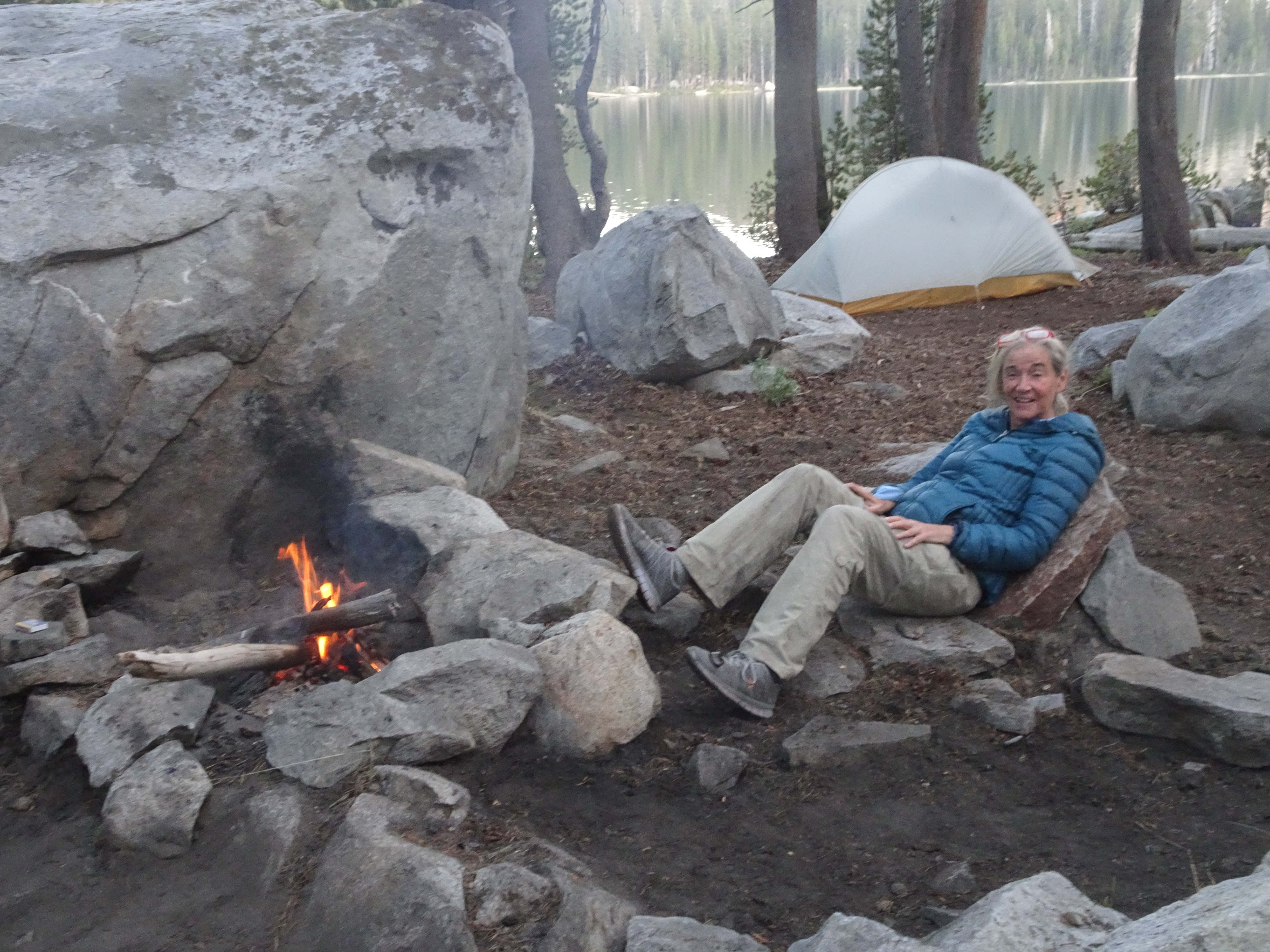
We found a good campsite in the Wilderness just beyond the OHV camping area and set up camp. First campsite we had ever seen where rocks had been formed into very comfortable chairs in front of a fire ring. A father and daughter, and possibly the father's brother, walked by and we talked.
Day 10, Saturday, August 18
Elevation Profile: Hike to Red Lake and up Red Mountain and back
Videos:
Dinner: Diary: In the morning we again spoke with the metal detector treasure hunter, only this time he was walking by alone with a fishing rod. He told us treasure hunting and fishing were ways to avoid sitting around listening to fellow campers. When he heard Bob went to UC Berkeley in 1969 he made a point of saying he had come back from Vietnam and joined the Oakland Police force in that year and remembered the student riots of the time. He was now retired. We hiked down the Off Highway Vehicle road, which had incredibly large rocks and looked impassable to vehicles.
We visited Red Lake and climbed together up Red Mountain to just below the peak. Then Bob went the rest of the way up the peak. On the way back we got a video of an Off Road Vehicle as it came up the road. It turned out to be the two men with the daughter we had met the previous day. Back at the OHV camping area we talked with two guys and their grandson. The grandson offered us candy. We ate lunch around 4 pm, eating a whole package of salmon, knowing we only had one more day in the Wilderness.
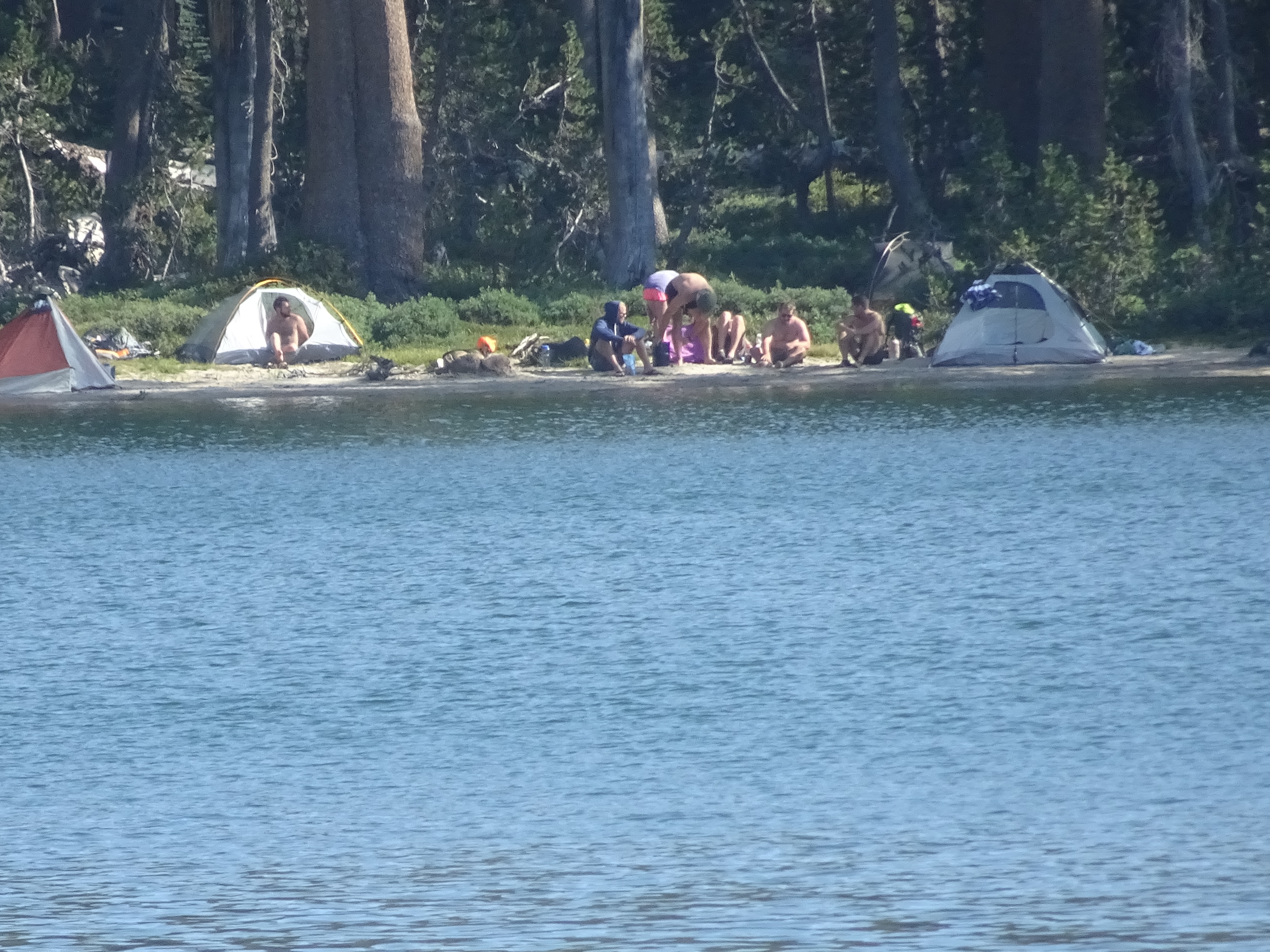
Back at camp we looked across the lake and saw that a group of 7 backpackers had arrived. They set up their tents on the lake beach.
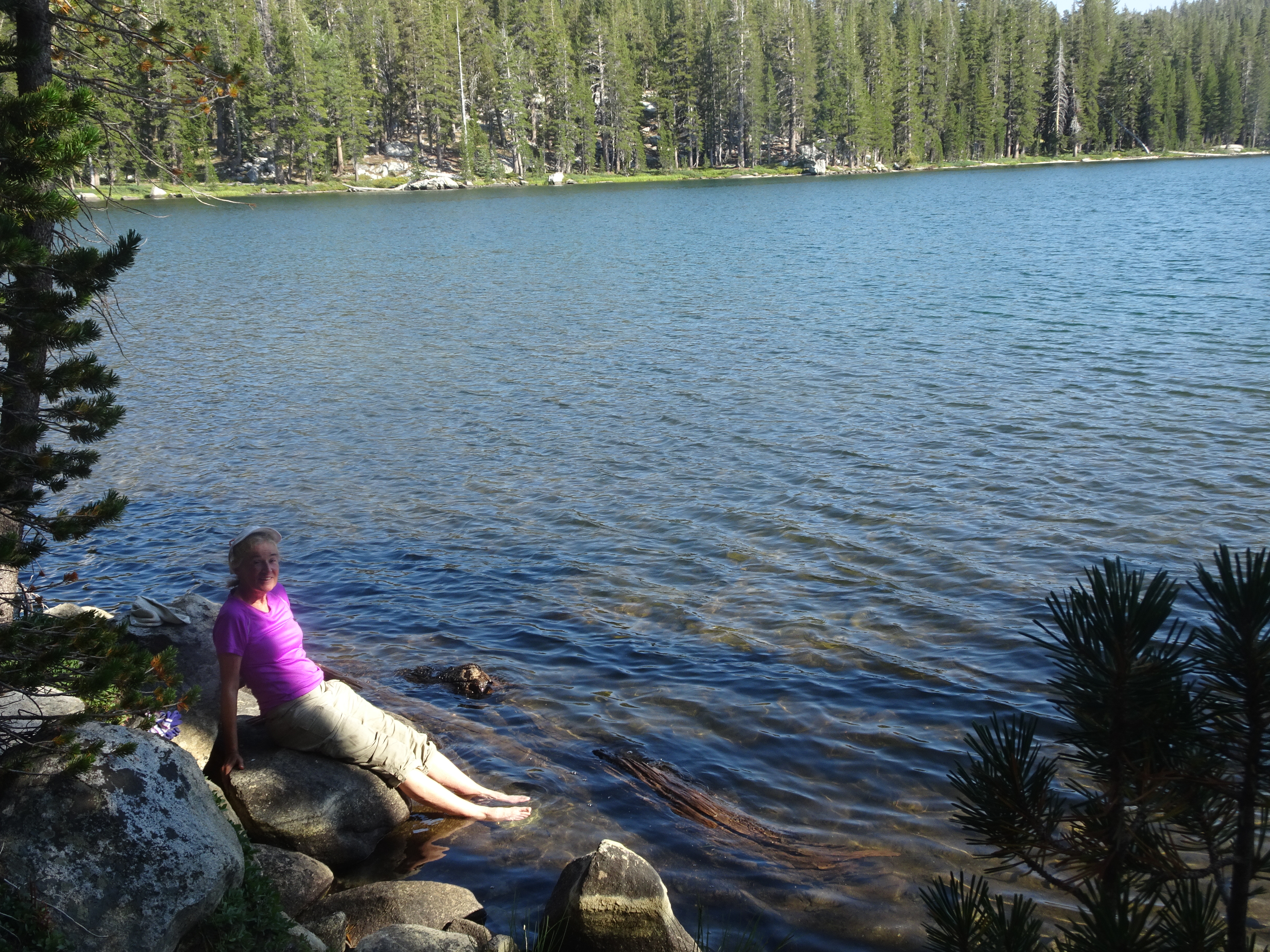
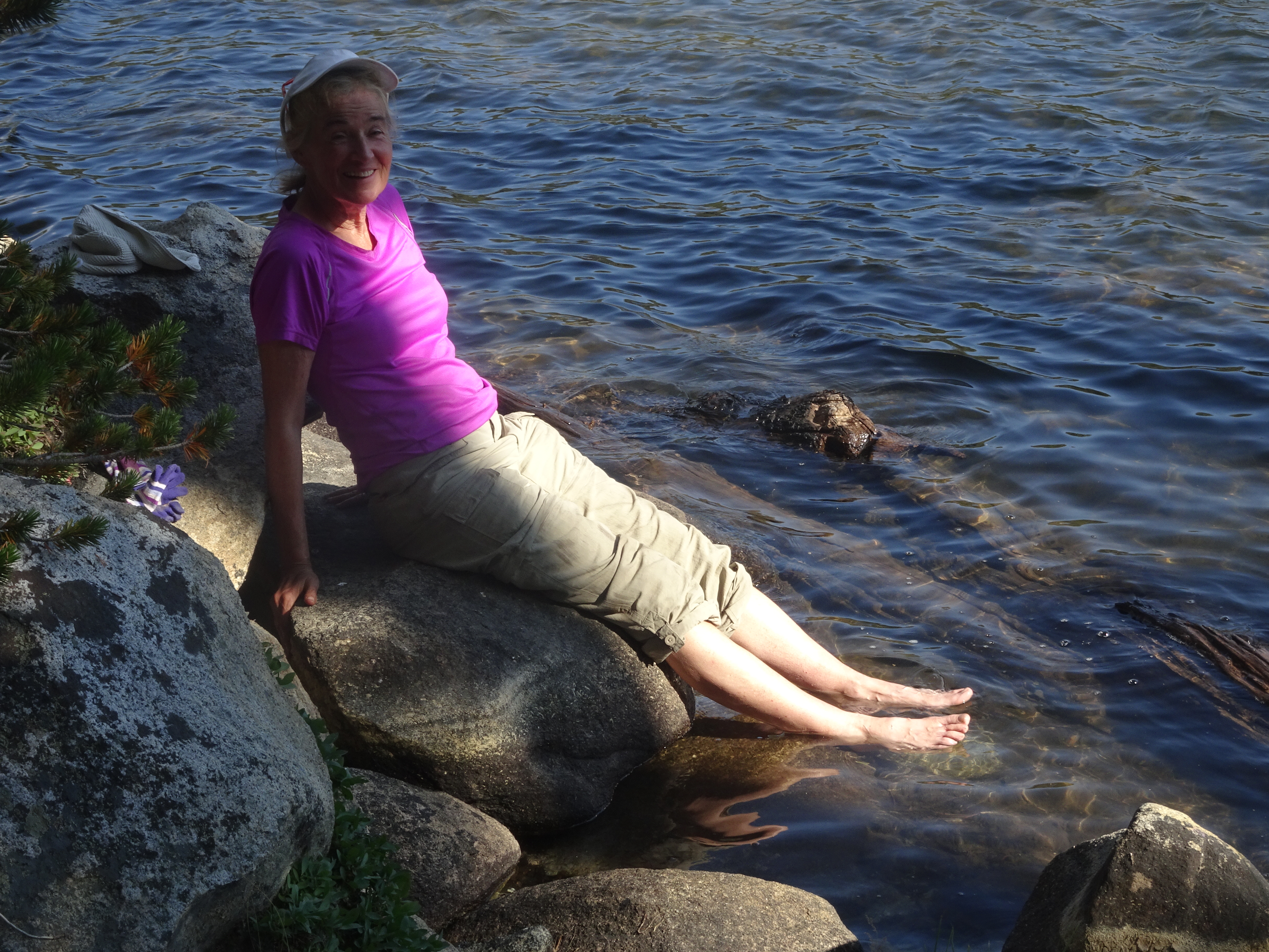
Jennifer found the water pleasant and relaxing to dip her feet in.
Day 11, Sunday, August 19Although we had originally planned to take Sunday and Monday to get to the car and drive home, the backpacking went so smoothly, we simply backpacked all the way to the car. Along the way we did go over one pass near an unnamed peak, which Jennifer suggested Bob should climb. Bob said he was not going by himself to the top of another peak, so together Jennifer and Bob went to the top of the newly named "Ryan-Phillps" Peak.
Elevation Profile: Backpack from Coyote Lake to Trail Head
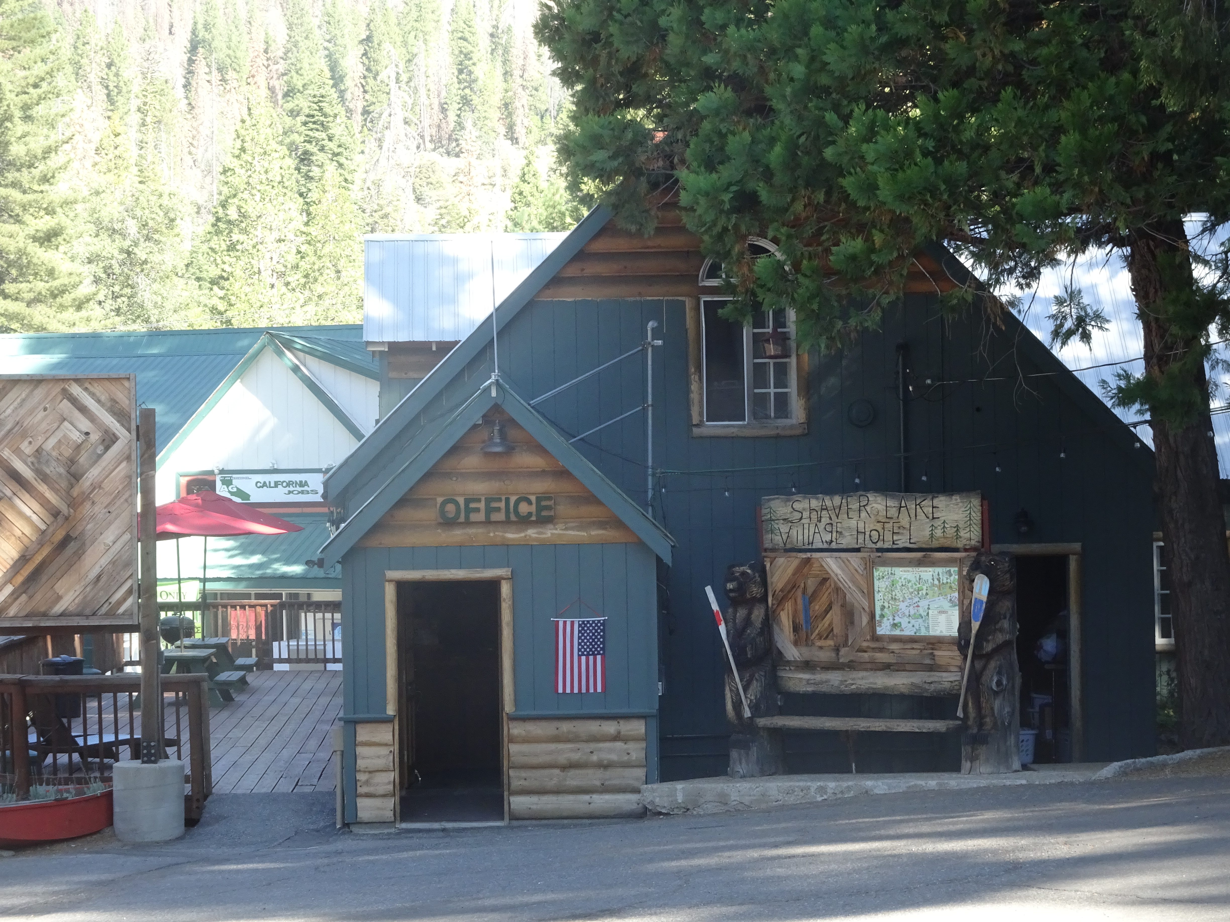
When we got to the car, we found the battery was dead. Again. We also found mouse scat in the trunk, along with an empty candy bar wrapper (some call this an "Energy Bar"). There was no one else in the parking lot. We attempted to push the car and try to start it as it was rolling. This did not work, though a plump mouse did exit the car and run across the parking lot. Near the parking lot was an OHV road junction, so to increase chances of meeting someone with a car (and battery) Bob went up to the junction while Jennifer stayed in the parking lot in case anyone else backpacked out as we had. As Bob waited at the junction, a car from the trailhead parking lot drove up with Jennifer and our backpacks in it, along with a very nice couple who had tried to use cables/battery to start the car (unsuccessfully) and then offered to drive us to the nearest town of Shaver Lake. So we all went to Shaver Lake. Jennifer gave Bob the car key, which he put in his pocket. The pocket with a hole in it. A couple of times Bob got out of the car to decrease weight on rough parts of the road and once to talk to a Sheriff going in the opposite direction who said there was a towing company in Shaver Lake. Bob found out there was one towing company in Shaver Lake (Eagle Towing) and confirmed they could send a truck down the forest roads to pull out the car (they would not send a tow truck that would carry the car because the roads were too rough). Bob then called his auto club. The club said they would call around and get back to him. When they got back to Bob they said there was no company that would tow the truck out, so Bob could do as he wished. Bob called back the towing company, which said, yes, the auto club had called, been told they would tow the truck out, but the auto club said it was too expensive. None of this had been mentioned by the auto club to Bob. The towing company agreed to pick up Bob in the morning, go to the trailhead, and pull the car out. It would cost $225 per hour. Bob also discovered he no longer had a key to the car. Fortunately, the car had a spare key hidden but available from the outside of the car. Jennifer found a hotel - the Shaver Lake Village Hotel and Bob and Jennifer checked in, then went out to dinner. Bob actually went to Bob's Market and got some fruit, then stopped by the burger place where Jennifer had stopped to eat. Bob got a chicken sandwich there.
Back at the hotel Bob and Jennifer each took long, hot, wonderful showers.
Day 12, Monday, August 20In the morning, Eagle Towing picked up Bob and drove to the trail head. Bob suggested trying to start the car using the cable. As Bob was retrieving the key from the car, the towing truck driver was using a device to open the door. However, Bob got the key and opened the door. Bob and the tow truck driver connected the batteries and cables and the car started right up. The tow truck driver said this might be because he had two powerful batteries in the truck. Bob then drove the car out across the roads, following behind the tow truck slowly. After stopping at the tow truck garage and paying for 3 hours of driving, Bob picked up Jennifer at the library, they drove back to the hotel to get the backpacks, and then drove home - first to Oakland, then to Santa Rosa. In case the towing had been unsuccessful or the car not working, Jennifer had asked Bill if he could drive from Oakland to Shaver Lake, and Bill had begun doing so. After about an hour of driving, he received the good news and was able to return home to Oakland.
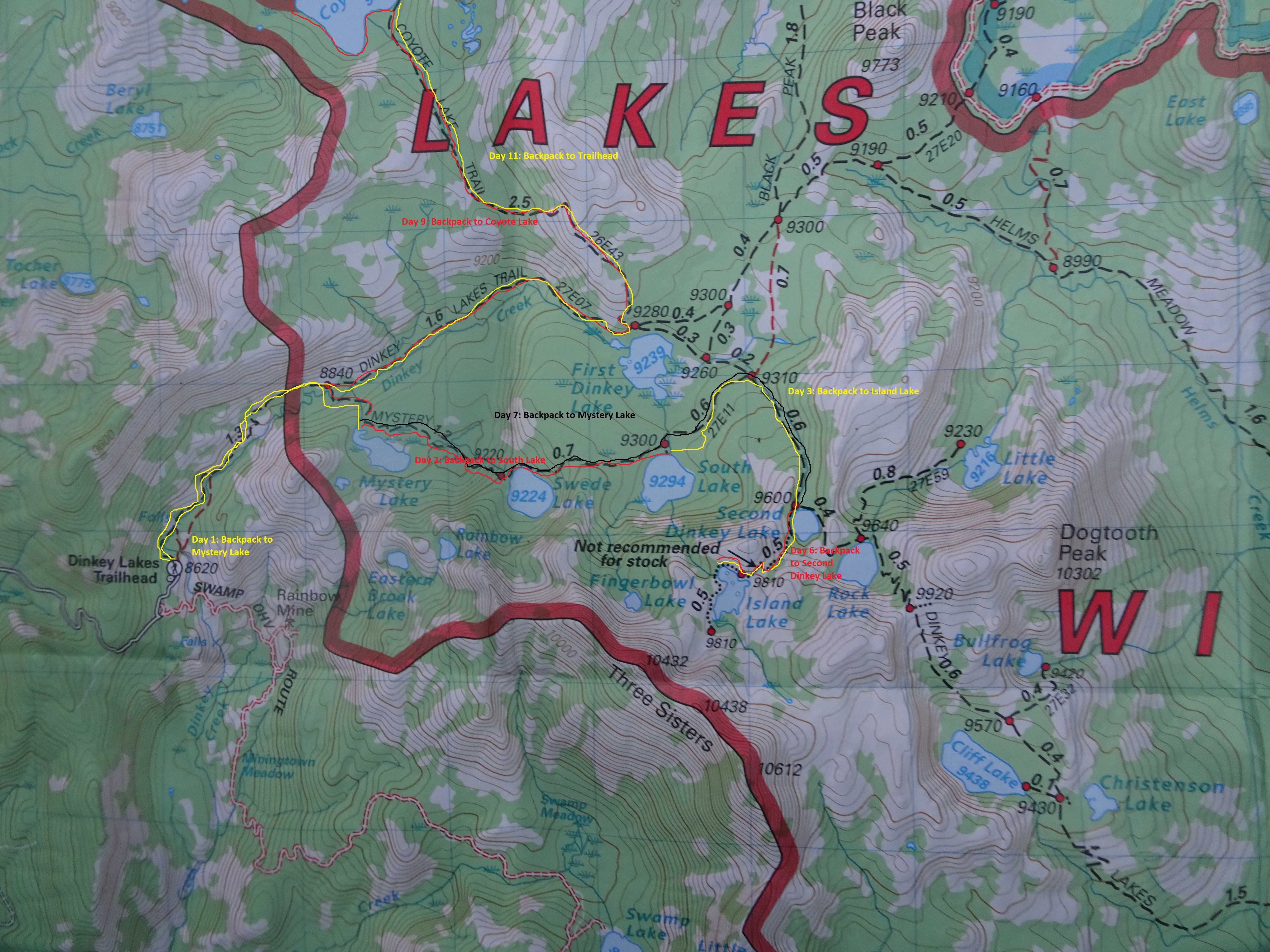
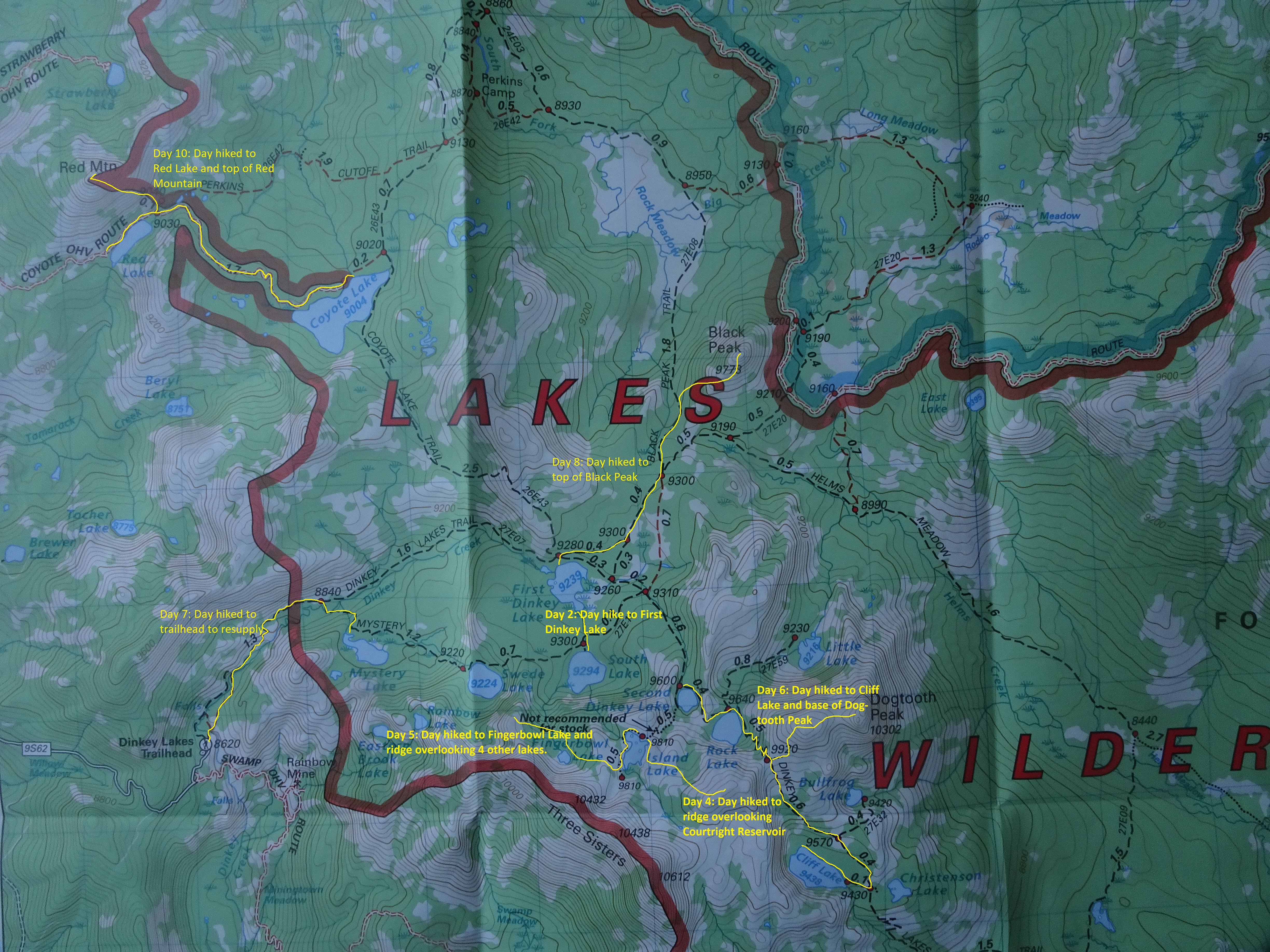
Maps and Elevation ProfilesThe following two maps show the routes we followed. The first map shows and labels the backpacking routes we followed, but does not show the many day hikes we took. The second map shows the longer day hikes we took (but not the shorter hiking near our campsites). Click on a map to see the full, high resolution version which will allow you to zoom in and read notes more easily.
Photos and narrative were contributed by both of us: Jennifer and Bob
Bob Phillips [phillips bob 27 at yahoo dot com - no spaces]
|