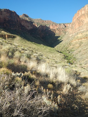
View from Horseshoe Mesa
View from Horseshoe Mesa |
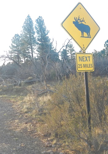
Had stayed in a hotel overnight, woke up around 5:30 and drove to the Grandview Trailhead. On the way we saw our first large, wild animals. Elk by the side of the road. We also saw a cougar beside the road! Well, ok, it was a small one. On a sign. An image. Still, we were hoping.
 |
 |
 |
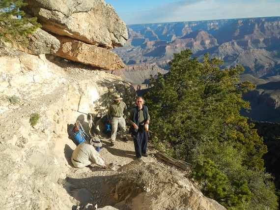
Here we are at the parking lot for the Grandview Trailhead and at the Trailhead itself.
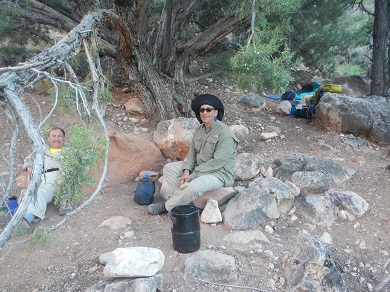
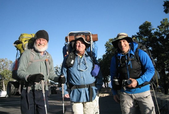 Bob, Brian, Alan |
 Brian, Bob |
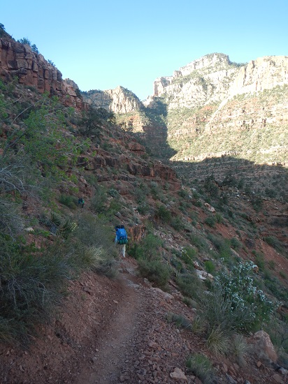
The trail was immediately very steep and continued so for quite a while. We all had to use hiking poles. At the beginning of the hike we met Ananda, who took our group photos. Whereas Bob lives in Santa Rosa, California, in a community called Oakmont, Ananda lives in the next city over, Sebastopol, and works in Oakmont.
 Alan, Brian, Ananda |
 A couple of switchbacks down: Brian, Alan |
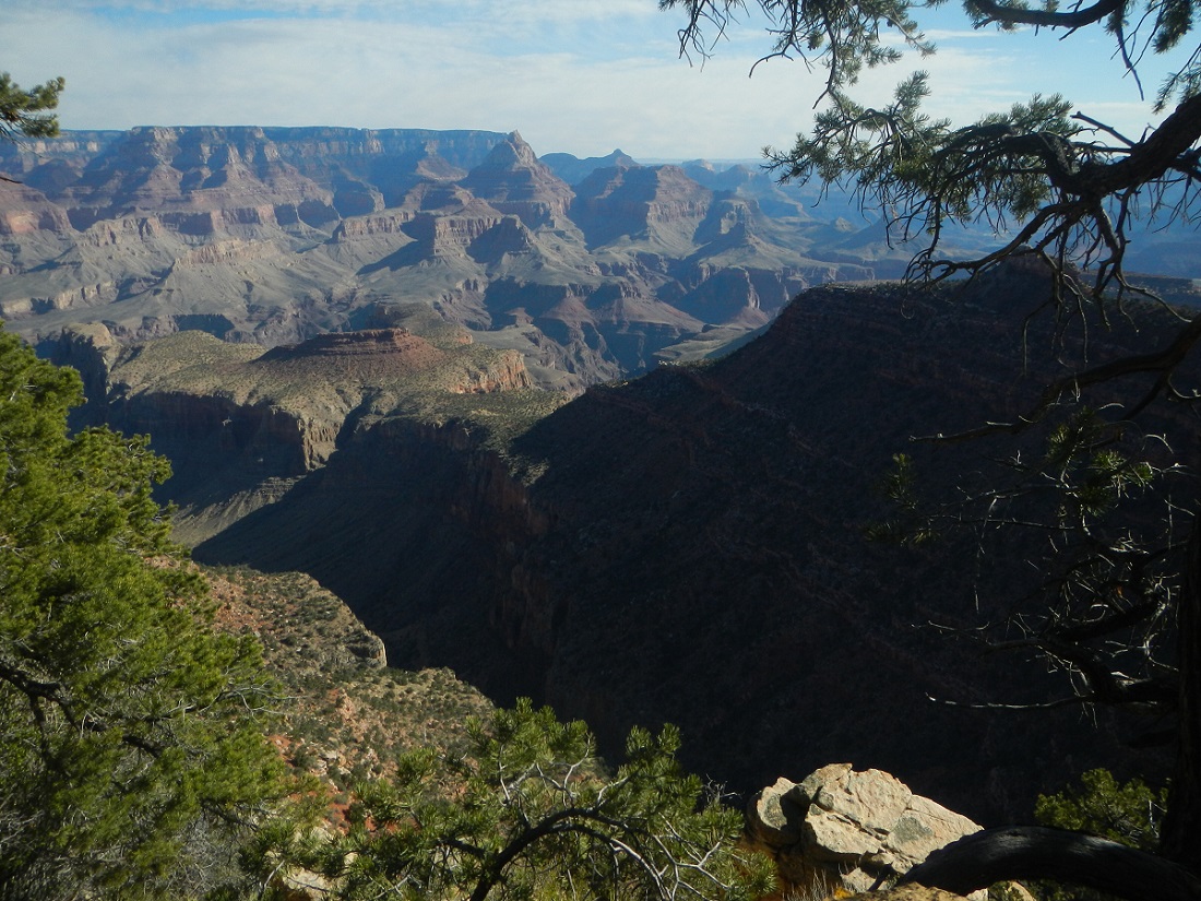
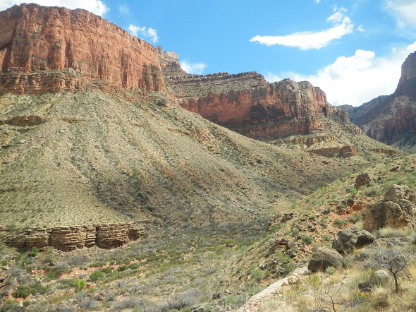
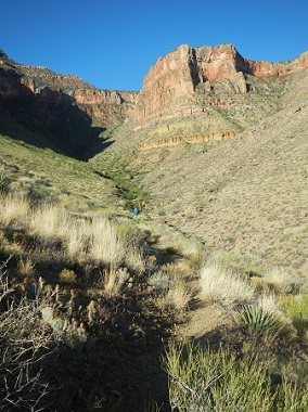
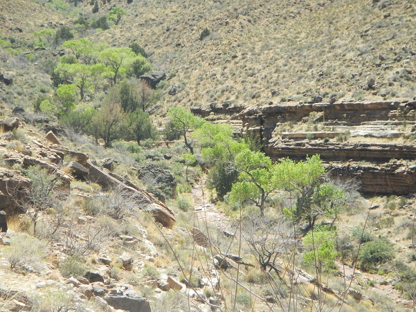
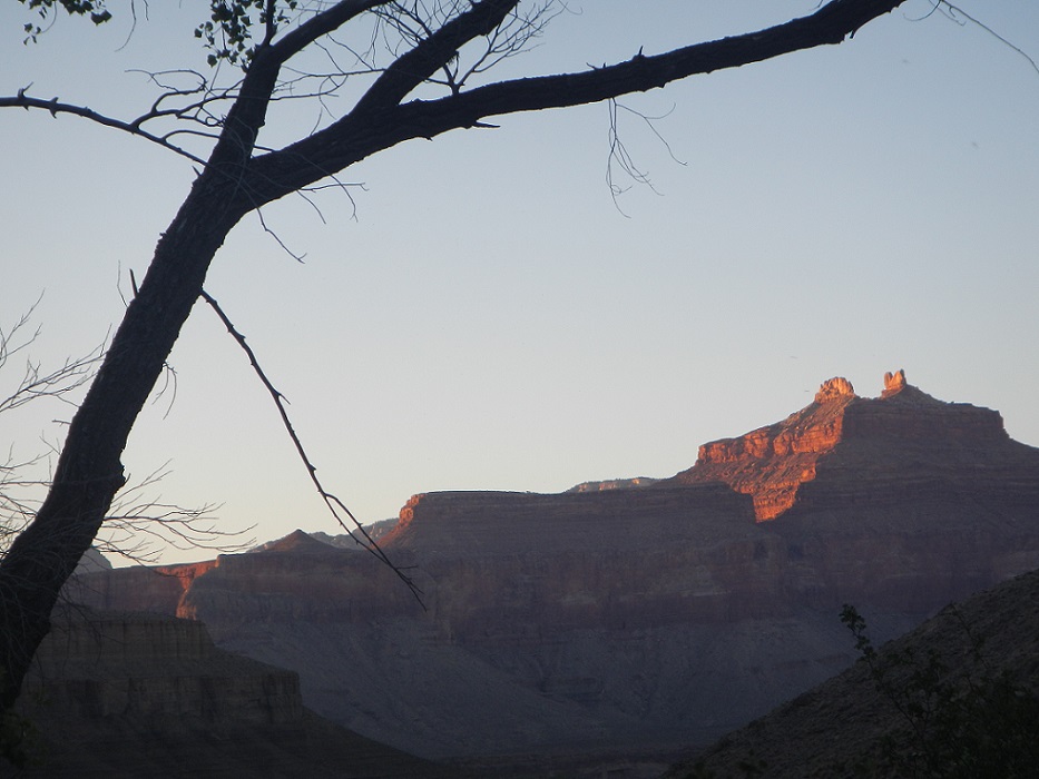
The scenery was of course glorious, the weather was perfect. Here's a view from this point in the trail:
 |
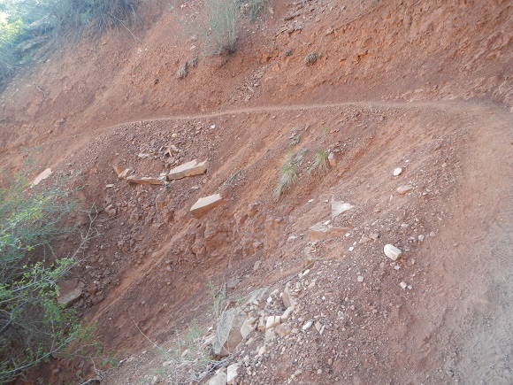
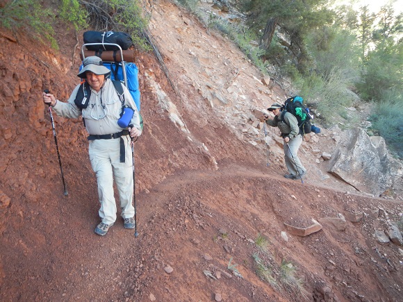
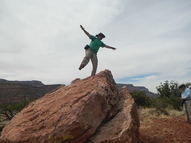
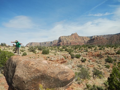
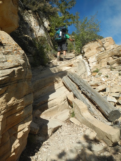
Although the trail was solid and well maintained, if you had a fear of heights, it was probably not for you. Clearly shown, Alan and Brian have no such fear:
 |
 |
It was hard hiking, but fun. For the first hour or two, though, there was a beep, beep, beep,... electronic sound that was unrelenting. Have no idea what it was or where it came from. Here we are in this beautiful landscape with spectacular views in every direction, and no matter which way you turned, here was this sound. The beeps came every 1 to 2 seconds. Eventually we got far enough and the beeps faded away. They were not there when we returned.
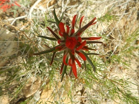
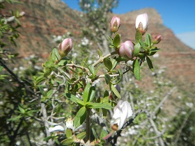
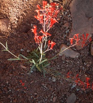
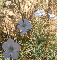
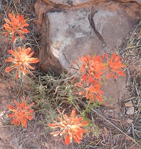
Throughout the trip we saw beautiful flowers in bloom:
 |
 |
 |
 |
 |
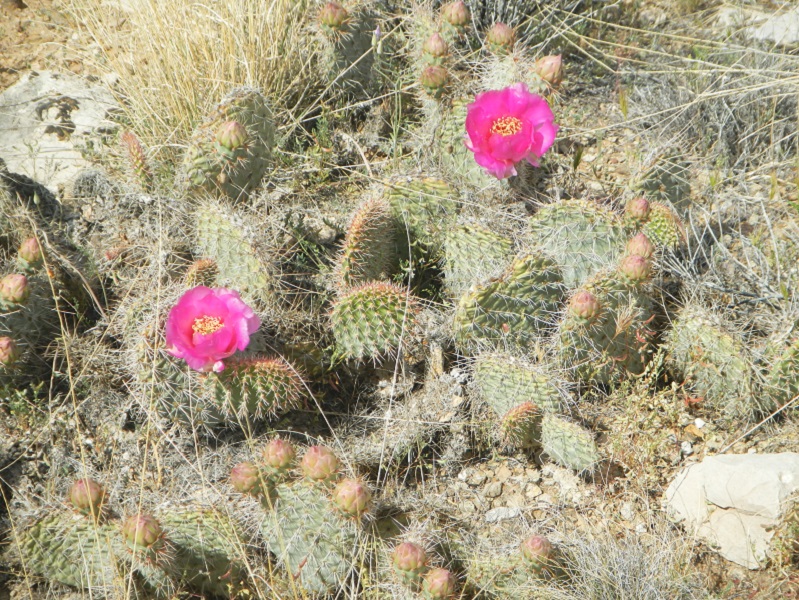
And the cacti were particularly abundant and beautful. The first of these two photos was taken by Alan and is, in my opinion, the best of all the flower photos.
Cactus_s.jpg) |
 |
RadiationSign_s.jpg) |
|
||||||||||
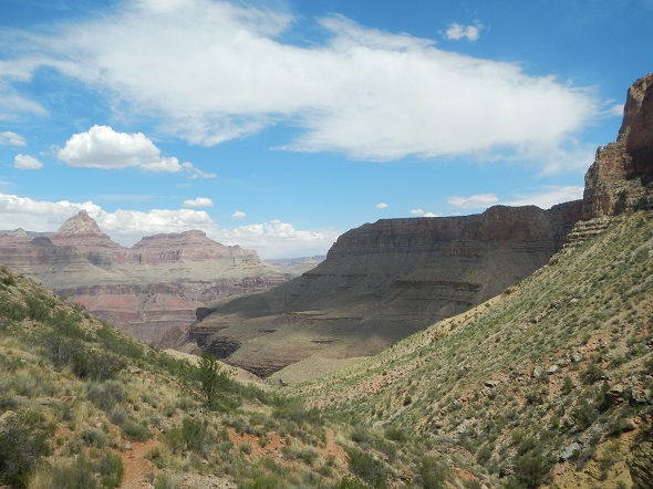
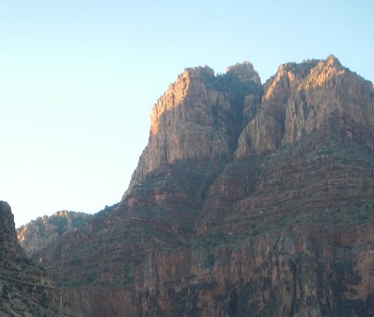
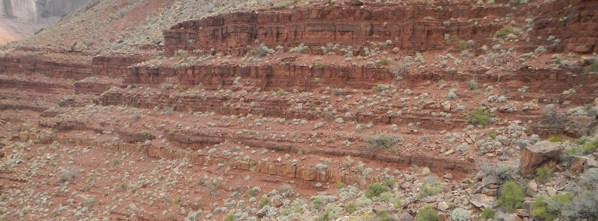
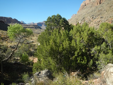
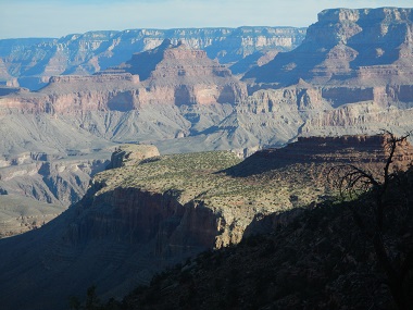
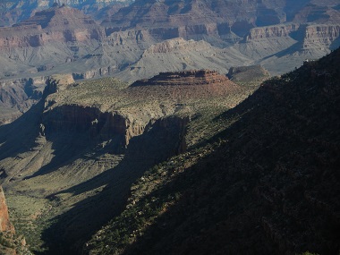
Vistas as we hiked along continued to be gorgeous, as were the cloud formations.
 |
 |
Sky_s.jpg) |
CampsiteBrianBob_s.jpg) |
 |
Campsite_s.jpg) |
CampsiteBrianAlan_s.jpg) |
Cottonwoods marked the creek boundary.
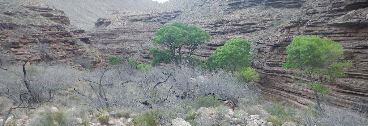 |
We set up camp, ate dinner, and then the frog chorus began. At first we could not figure out what the noise was - it sounded like some animals up the canyon wall. But as the chorus picked up, Brian suggested that maybe it was frogs. Walking over to the creek, it was obviously the case - the croaking had been bouncing off the canyon walls. As the night came on, the croaking just got louder and louder. Heavy gusts of wind did not diminish it, as you can hear in this video.
Gusts of wind continued through the night, bringing dust into the tents. We all went to bed around 8, but I got no sleep because the rain fly I had over the tent was flapping so hard. Finally, at 11 pm, I took off the fly and slept fine.
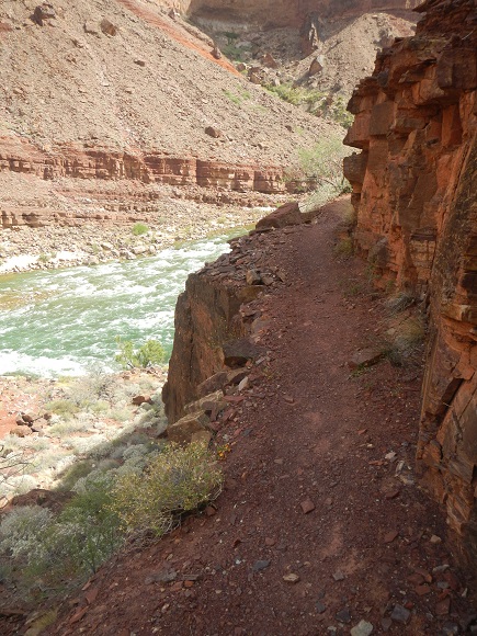
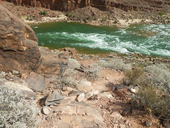
The day began early, around 5:30, the sun lighting nearby peaks. The three of us did day hikes without backpacks. Since Bob had never been in the Canyon before and had not been down to the Colorado River, he hiked a 13 mile roundtrip down to the river. The route map shows in blue the route Bob followed from our Hance Creek campground to the Hance Rapids on the Colorado. The following photos are from that hike.
 |
 |
 |
 The above photo gives a nice view of the path as it traverses the wall of one of the ridges. It cuts across the center of the photo. |
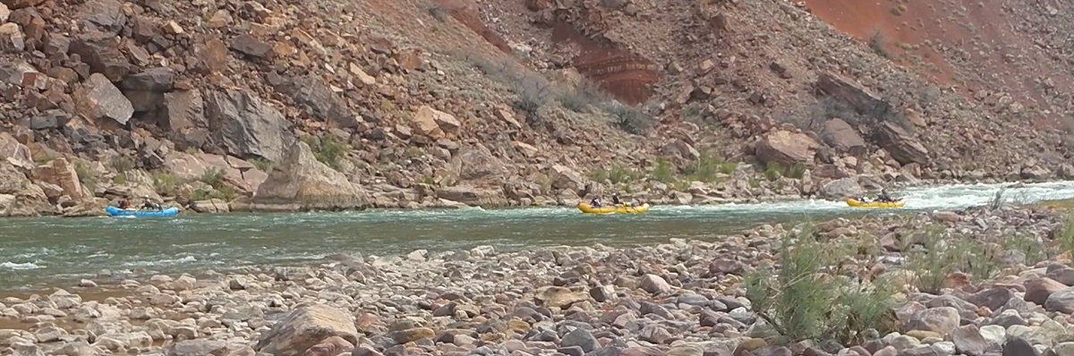
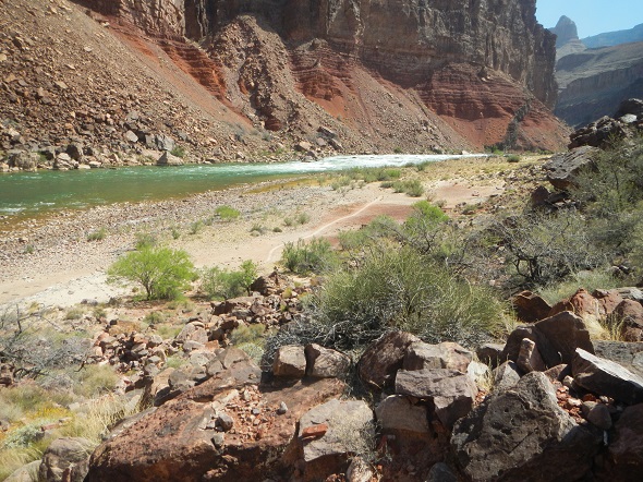
Just as Bob arrived at the Colorado River, several rafts came through the Hance rapids, then continued on their way. They were the only people Bob saw on the hike. Here's a video of a few of the rafts, and here's one of the river and scenery.
 |
 |
 |
 |
 |
 |
|
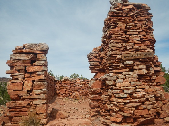
We again woke early on the third day, backtracked a little ways until we hit the junction of the Tonto East Trail and the Grandview Trail (down which we had hiked previously, but which had no sign) and continued along the Tonto East Trail. We would end up backpacking about 5 1/2 miles, going around the base of Horseshoe Mesa until we arrived at the canyon containing Cottonwood Creek.
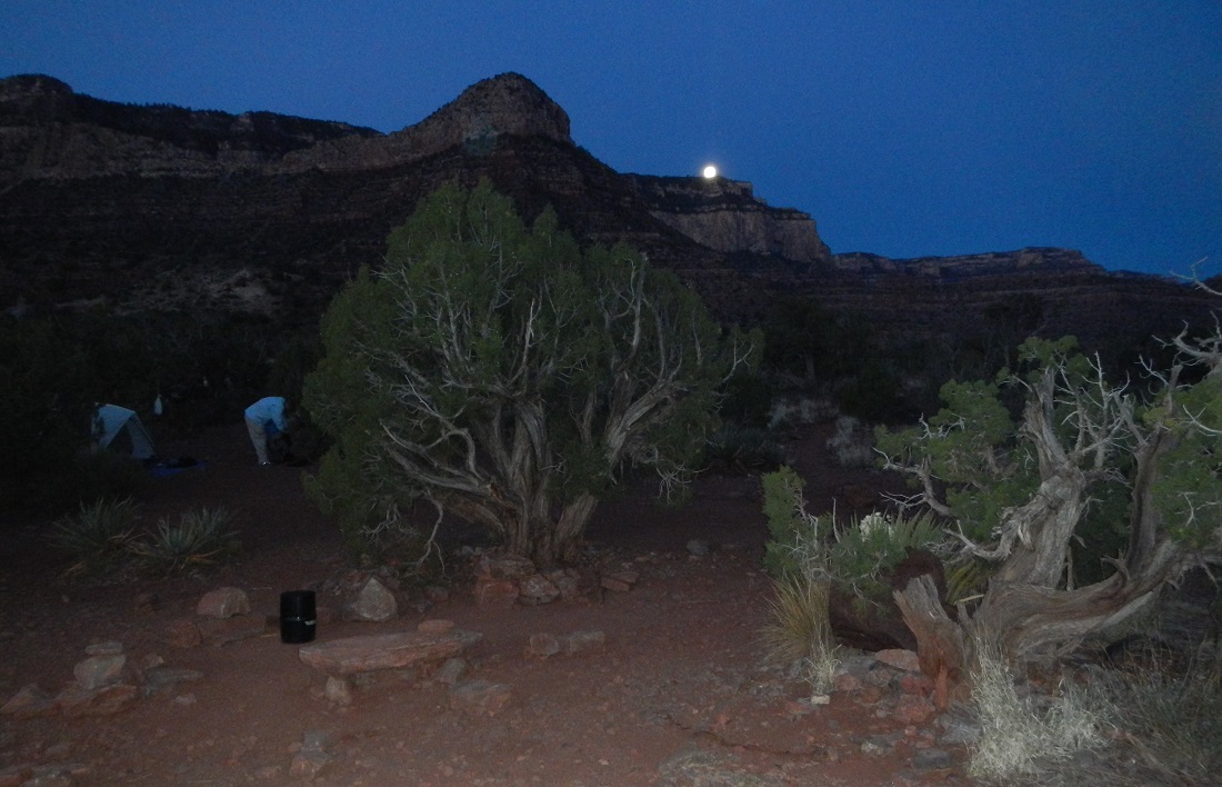
Late that evening, we all got up to watch the full lunar eclipse. Viewing could not have been better. And we got to see a meteor streak across the sky, breaking into two pieces, one piece following the other. Then, back into the sleeping bags for the night.
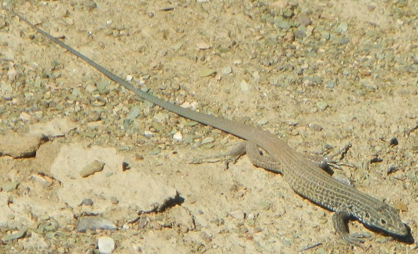
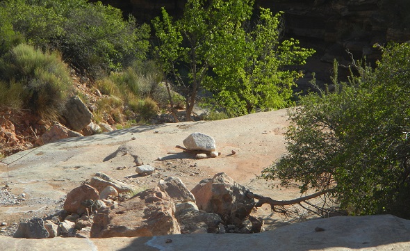
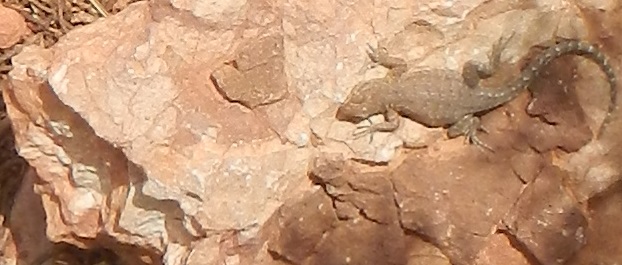
The hiking throughout the day was relatively level, nothing like the hiking of the next two days. And as before, we ran into animals, as you can see in the next two photos. One of a lizard, the other of an extremely long lived turtle. Legend has it that the turtle can live not just centuries, but thousands of years, if not more.
 |
 |
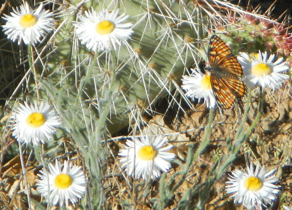
And a pretty butterfly among the daisies |
Find the hikers! Hint, look for Brian's blue backpack. The following three photos were taken between 6:30 and 7:00 in the morning. Another beautiful day with an early start.
 |
 |
 |
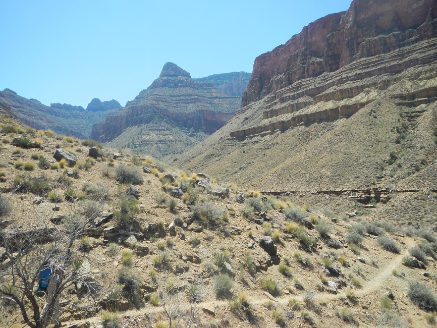
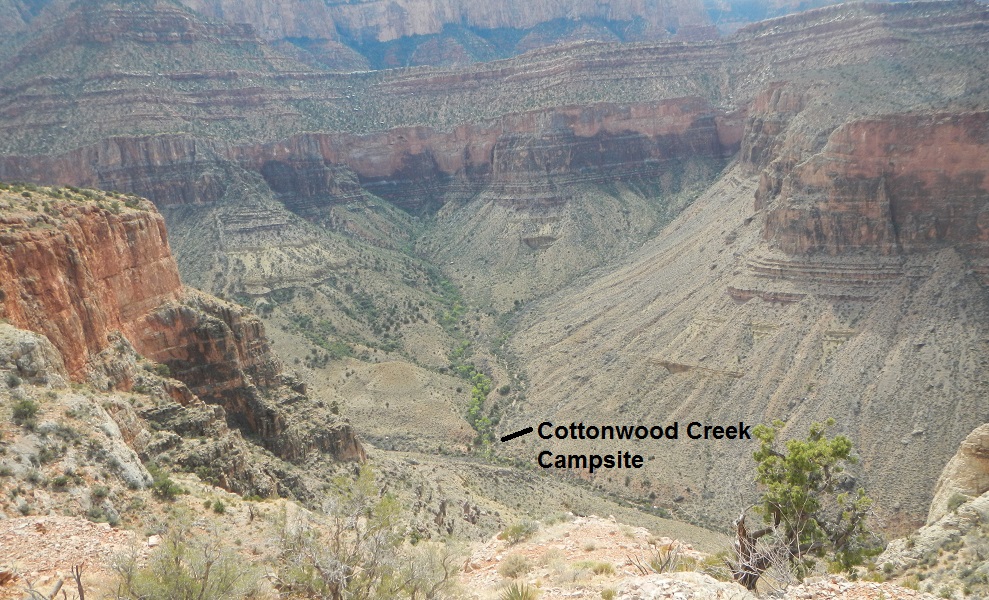
About an hour later, we got a nice view down into the canyon with Hance Creek. As the route map at the bottom shows, we were basically hiking north along the upper, western ridge of this canyon as Hance Creek flowed towards the Colorado River.
 |
 |
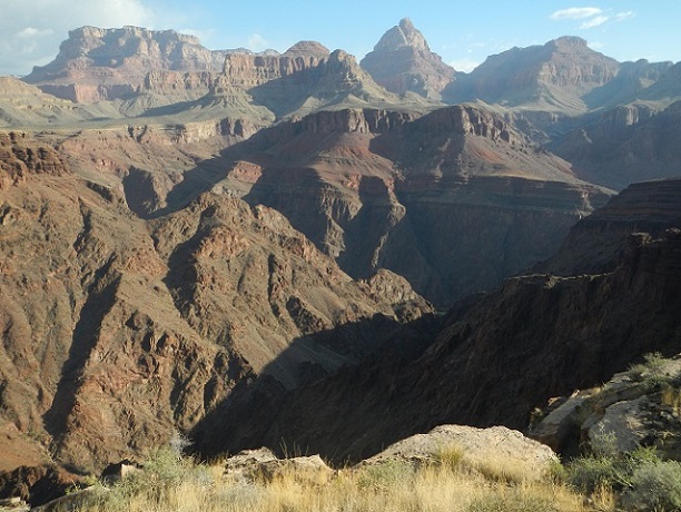
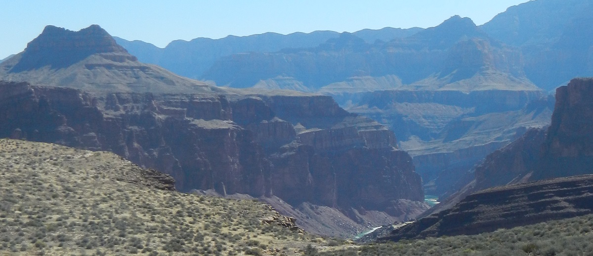
A view of the Colorado River
 |
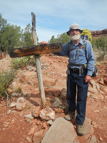
The next 3 photos are taken as we approach Cottonwood Creek and, once there, arrive at the trail junction. Although another group had arrived ahead of us at the trail junction, they later left, taking a different route than we were going to take. They were the only people we saw that day. We ended up having the canyon to ourselves.
 |
 |
 |
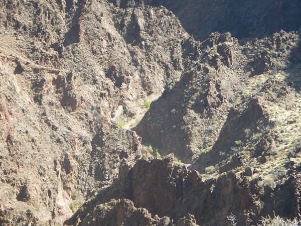
| Actually, we did see one other person. During the day the trail we backbacked wound around the base of Horseshoe Mesa. Far above on the Mesa at one point, we could discern someone looking down on us, as you can see in this photo. The next day we would be up on the Mesa, looking down at Tonto Trail. However, we had a hard time distinguishing the trail and saw no hikers. | 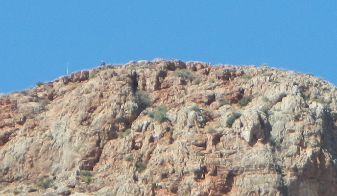 |
After hiking along Cottonwood Creek, we find a nice campsite. One interesting aspect of the creek is that it can be flowing at one point, then be completely dry at another, before picking up again. Clearly, it is running underground. Cottonwoods grow along both the areas where the water is running on the surface, and where not. The map showed a spring. Alan and Bob each tried to find this spring at various times, to no avail. Presumably, it too is underground.
 |
 |
 |
Sunset in the canyon, Cottonwood Creek
 |
 |
 |
 |
 |
 |
 |
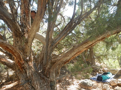
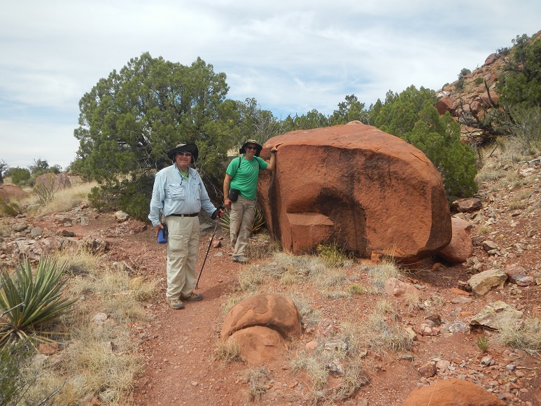
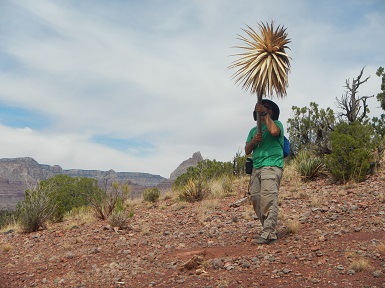
Alan provides entertainment for Bob and Brian as he demonstrates his ability to climb and exercise on rocks, and hold a century plant.
 |
 |
 |
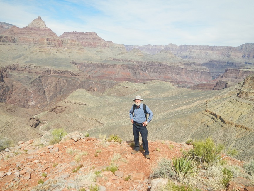
Looking down to the Colorado River from Horseshoe Mesa.
 |
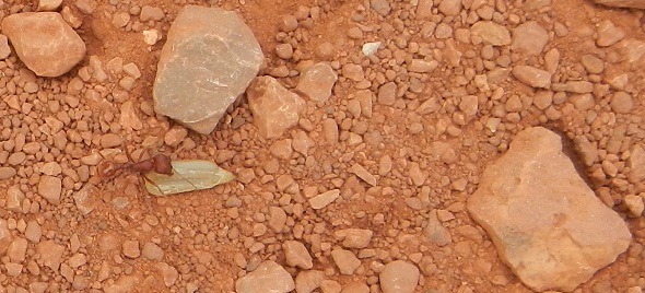
Bob actually spent 10 or 15 minutes tracking an ant as it removed a fallen seed from the campsite and took it back to its ant hill, some 20 feet away. Part way there, another ant met the first and took the seed, allowing the first ant to return to the campsite. Alan dropped several pieces of trailmix on the ant hill, providing yet more entertainment. At one point, Alan blew on the ant hill and many, many ants came pouring out of the entrances.
 |
 |
We found a very nice campsite which was near this spectacular overlook of the Canyon. The photo below taken with Brian's camera captures the colors of the canyon best of all the photos I have seen. Brian is standing not far from out campsite.
 |
 |
On the last day we again got up early, ate some breakfast, and headed up the Grandview Trail. Although it is a very steep climb, it was easier to go up than down. As always, a trail looks completely different when you traverse it in the opposite direction. And also as always in the Canyon, just wonderful views. Better yet, the irritating and ubiquitous, "beep, beep, beep,...." sound which had been present when we first started down the trail was no longer in evidence. Since there was really no place to "use the shovel" and there were facilities at the top of the trail, and Bob felt the call of nature, he and Alan pushed more quickly up the trail than Brian. Once reaching the top, and after putting backpacks in the car, Alan hiked back down, met Brian and they finished together. One young woman applauded Brian and said "You're my hero!" as he finished the hike.
Afterwards we found that you could take showers in a nearby campground and they even provided soap (50 cents) and towels (free). An 8 minute shower cost $2.00, which was well worth it. That hot water felt so good!
Bob discovers a new setting on his camera which allows him to get a photo of the moon as it sets early in the morning, below.
 |
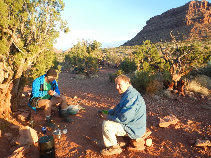
Breakfast is followed by a very steep hike:
 |
 |
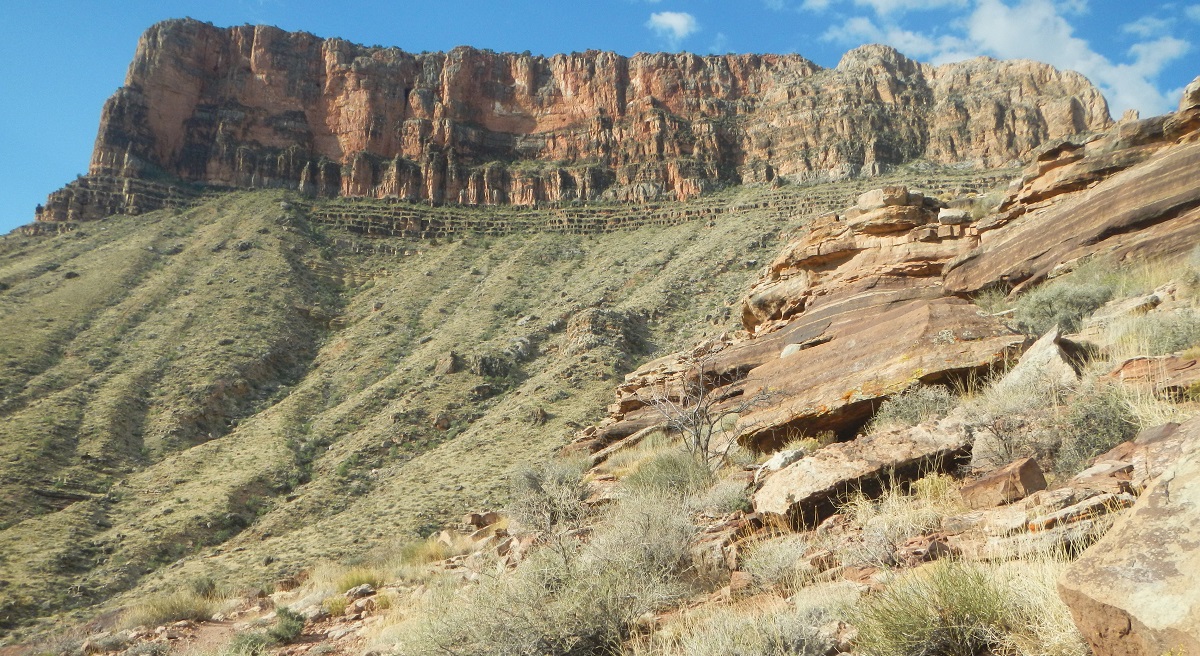
Looking back on the Horseshoe Mesa as we climb out of the Grand Canyon:
 8:10 AM |
 8:54 AM |
 10:08 AM |
 |
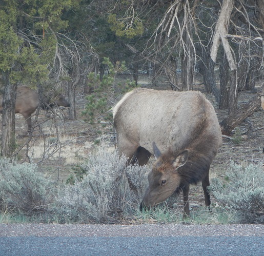
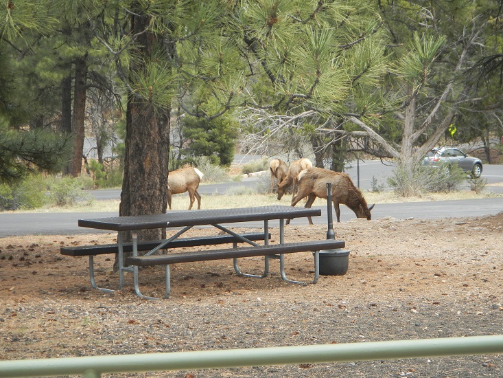 As we are leaving, we see these elk, and also children whose parents let them get very, very close to the elk, which surprised us. |
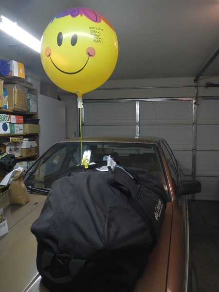 Shirley met Bob at the bus stop as he arrived in Santa Rosa, with a helium balloon that brought a smile to his face. Here the balloon is now attached to the duffel bag with all the backpacking equipment in the garage. Home again! |
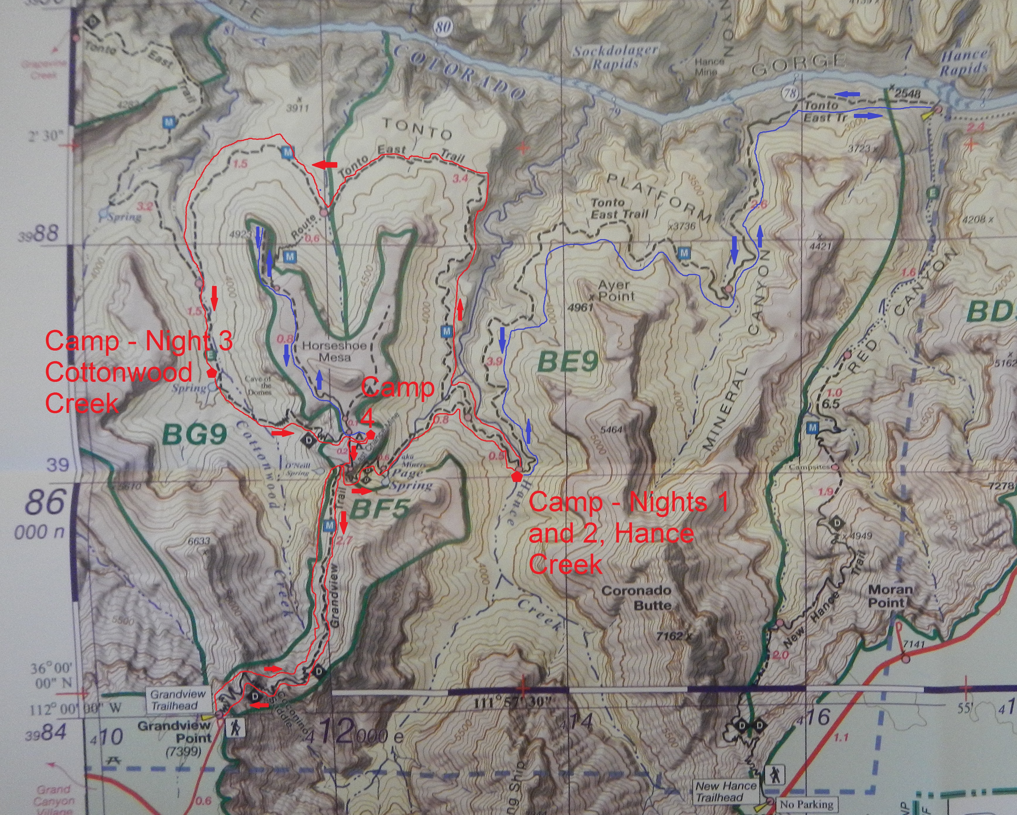
Trail Route |
Click on the map to get a higher resolution version.
|
Elevations Along Backpacking Trail |
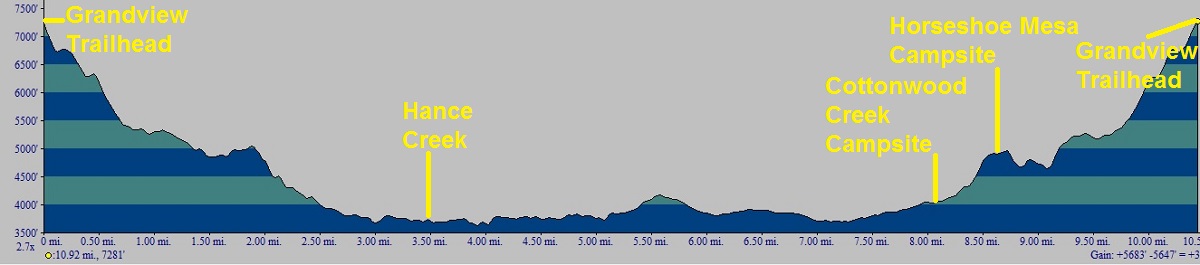 |
Elevations Along Day Hike Trail To Colorado River |
 |
Grand Canyon Trails |
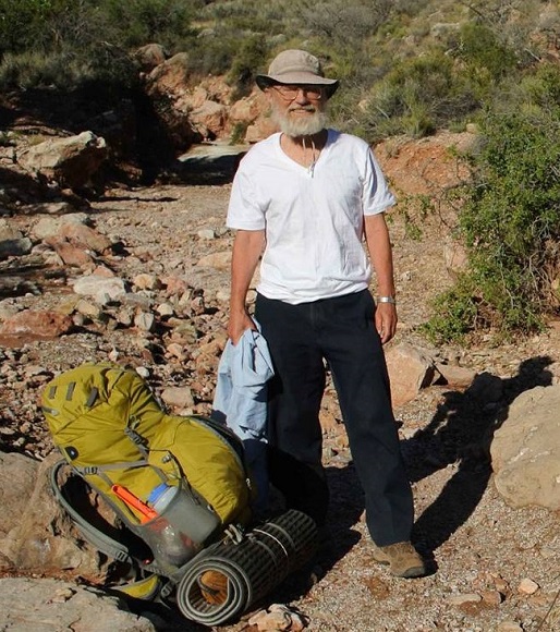
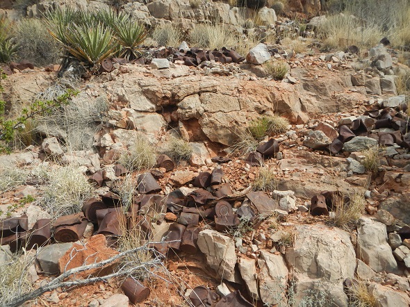
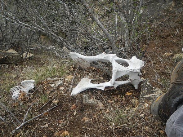
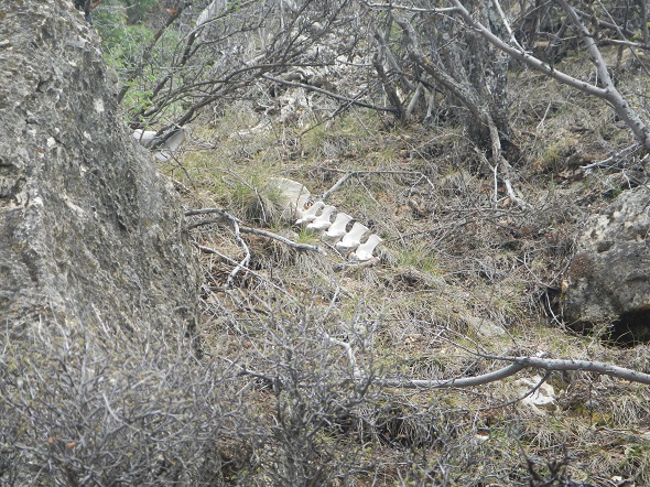
We originally intended to follow the New Hance Trail, rather than the Grandview Trail. However, the New Hance is the most difficult, least maintained of the trails. It is very steep, so we decided to take the Grandview trail instead. The Grandview is also quite steep, but in better shape than the New Hance trail. It leads down to the Hance Creek, from where you can hike down to the Colorado River, which is also where the New Hance trail ends. On our first day, before we started backpacking, we hiked a bit down the New Hance trail. We were glad we had chosen the Grandview. Even though we did not go far, it was clear the New Hance would have been a considerably harder challenge. We did, however, find a nice skeleton - NOT of some unfortunate hiker who had chosen the New Hance trail ;-). See photos below.
 |
 |
Alan, who has considerable experience hiking in the Grand Canyon, believes that the Grandview Trail, although it is a great trail, should not be recommended for first time Grand Canyon hikers unless they go with someone who has been there before. Also, mid April is about the latest to do this type of trip. After that it becomes quite hot. Hance Creek was very quiet and isolated and we ran into very few people. Even though backcountry use has gone up significantly, there are such a small percentage of people backpacking in the Canyon that it truly is a wonderful experience. Once you get off the main corridor trails like Bright Angel, South Kaibab, it becomes your canyon! On this trip it felt like we had the whole canyon to ourselves.
Photos and narrative were contributed by all three of us: Alan Cline, Brian Hoepner, and Bob Phillips
Here are all of the adventures Alan and Bob have taken together
Other Websites
By Bob:
Bob Phillips [phillips bob 27 at yahoo dot com - no spaces]
Santa Rosa, CA
August, 2012
MineEntrance.jpg)
MineShaftEquipment.jpg)
MineMachine.jpg)
MineWheelbarrow=S.jpg)