This old letter from 1969 when I was 22 inspired me to make it to the top of Mt. Whitney in 2010 at the age of 63. As you will read below, I failed in the 1969 attempt, but wrote:
"In sum, I and one guy made it only up to 13,933 ft, while three others pushed on to the summit, much to my chagrin (but someday I'm definitely going back to make it)."
My recent trip up Whitney was another wonderful backpacking trip as described here
In 1969, three of us backpacked the entire trip - Dale Flynn, Dave Stamper, and myself. I recently contacted Dale, for the first time since our Berkeley days. As of June, 2020 he is a "Climb Leader Emeritus & 47-Year Member" of The Mountaineers. I have not been able to contact Dave Stamper.
 Based on the letter, I approximated our route on a topo map. This image shows that route after we had finished the Mt. Whitney portion of the trip. We started outside of Bishop, CA near the end of Route 168 and hiked to Yosemite Valley, probably around 120 miles, over 12 days. Click on the image to see a larger version. I also put together an elevation chart showing the ups and downs of the hike, which you can see at the bottom of this page. Finally, to see a very high resolution image (13 meg) of the trip with approximate daily hikes, click here.
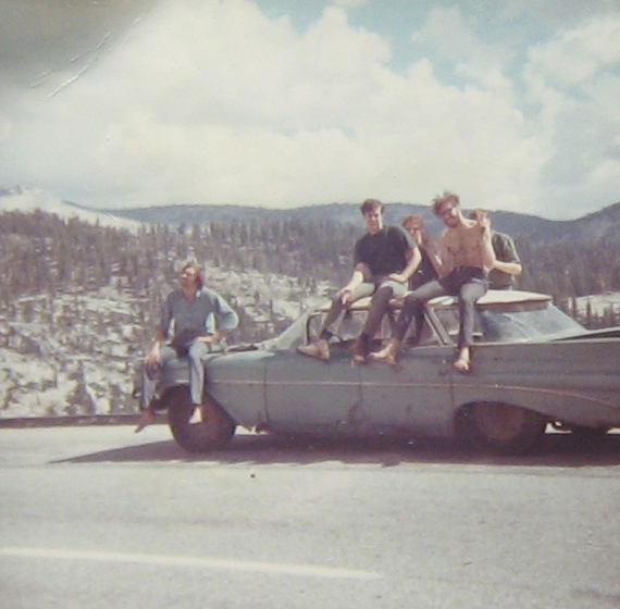
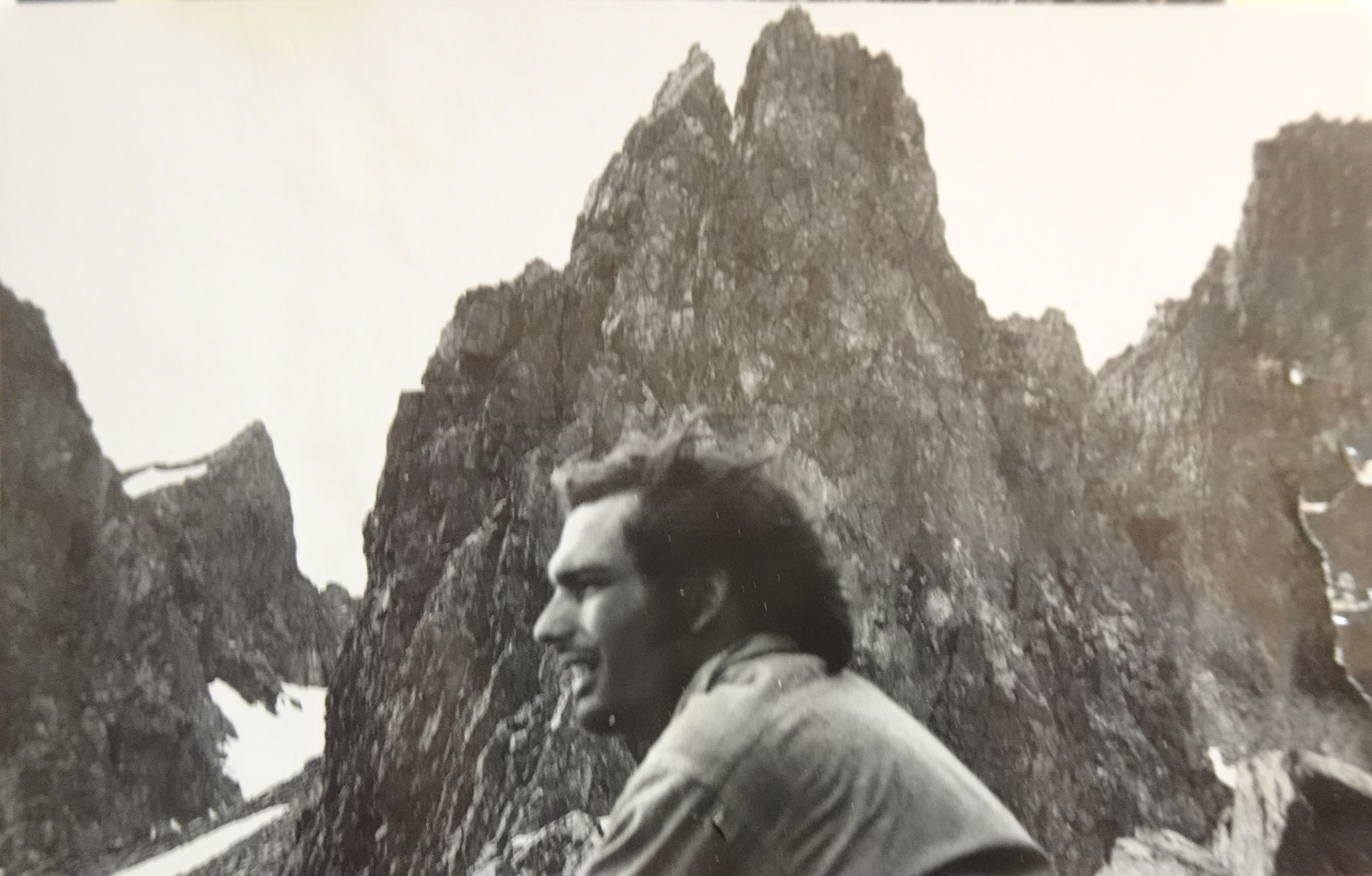
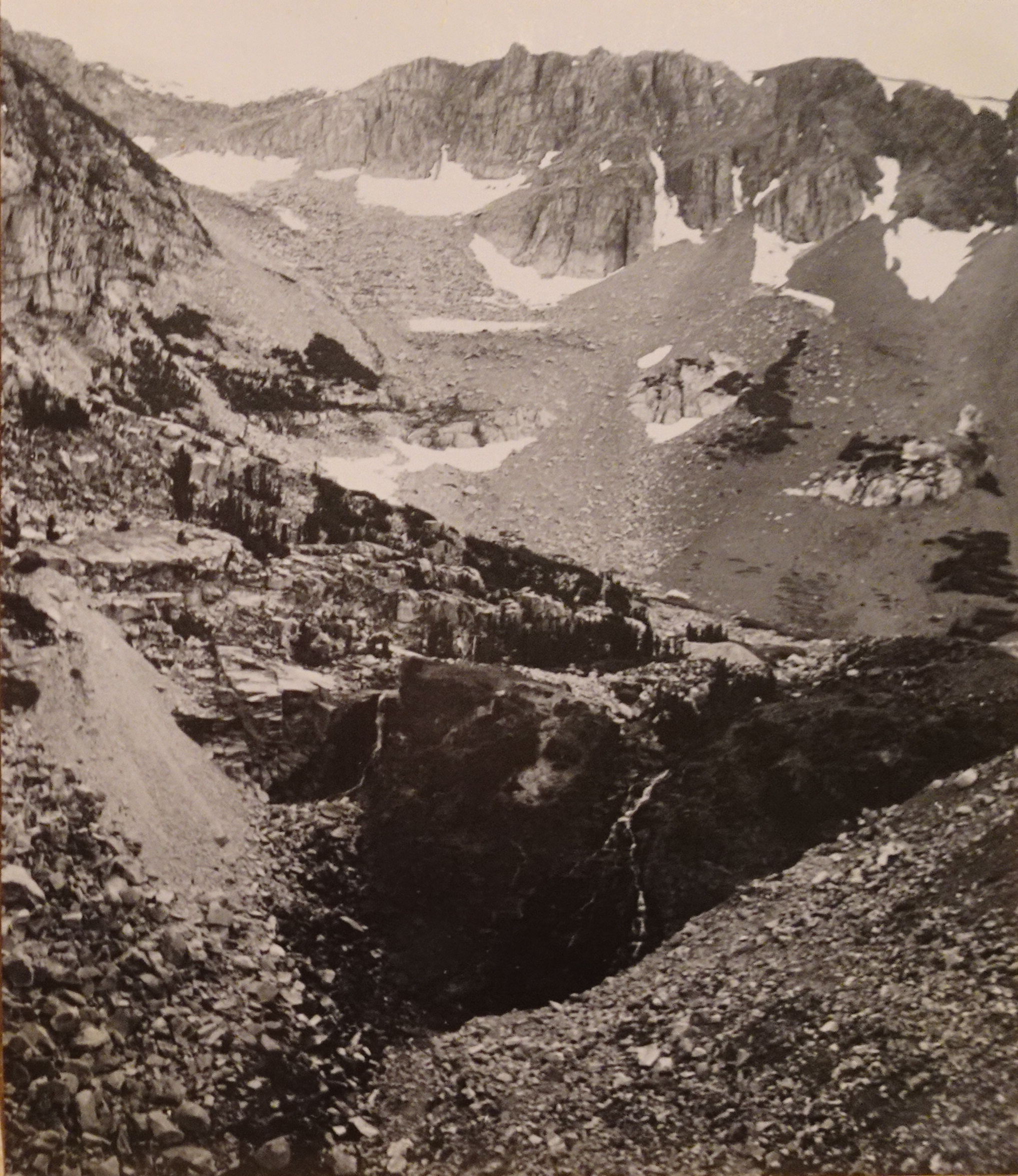
As it turns out, I have kept some of the photos from the trip in an old album I have, so I have included them when I could.
As I was writing the letter, the building I was in (the student co-op Oxford Hall where I lived) got shaken twice by what seemed like small earthquakes. I had been in California for less than a year, so this was pretty exciting for me.
[Update July 4, 2015: Actually, a Wikipedia article states they were centered in Santa Rosa and were the strongest earthquakes to hit the Bay Area since 1906. One person was killed and there was extensive damage to buildings in Santa Rosa. They occured at 21:56 and 23:19 PDT October 1, a pair of earthquakes of magnitude 5.6 and 5.7, respectively, rated "very strong" and "severe".]
So now I know I wrote the letter on October 1, the second quake really was stronger than the first, and I got the times just about right.
"Dear Family,
This ought to be a pretty long letter. I'm not sure which pictures to send you. I took 41 that came out, and Dale took an equal number which I haven't seen yet.
Six of us started the trip. George, Dale, Dave, myself and 2 kids riding back with George to Fla. The first night we spent in Yosemite where we left Dale's car. I saw my first wild bear that night while wandering around. It was sniffing around all the tourist cabins and pretty much ignored us. We kept our distance and it just wandered off in the night.
Next day we drove in George's car to the base of Mt. Whitney. Hey. Just remembered I wrote about the trip once, on the third day. Covers beginning. Next 3 small sheets."
-------- [Next 3 small sheets]
"Tues. - Sept. 9
It's 8:30 at night and the three of us are sitting around a large, roaring campfire way up in the mountains near a crystal lake (Piute Lake). We're in among a small copse of pines, the stars are sparkling brilliantly like they always do in this clear air. Day before we arrived at the base of Mt. Whitney and camped out at another small lake 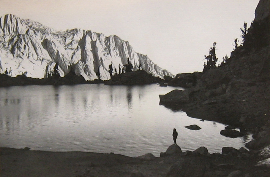 Lone Pine Lake (9500 ft). We climbed the 1500 ft. up to the lake in pitch black since we didn't arrive at the end of the asphalt road until 9:00 PM. At the time there were six of us, three have since continued onto Florida. About the only thing we felt like doing was packing all the food into one pack and suspending it high above the ground with a nylon cord over a branch; all the while telling George (Fla. - bound) about 13 ft. brown bears weighing half a ton. (A day earlier we had stopped to drop off a car at Yosemite; that night, while wandering around, I saw my first wild bear, but he seemed neither very ferocious nor very large and simply walked on into the dark).
 Getting back to yesterday, we hiked from the lake up towards the summit of Whitney (14,496 ft). Unfortunately, I made a disastrous error. We had lightened the packs, since we were to be gone only two days, the air was fresh and cool, and I felt simply great. So up I went at a fast clip, very vigorously passing slower climbers (one man had a cane and was slowly making his way up). At about 13,000 ft. my engine had run completely down. I felt absolutely terrible. In sum, I and one guy made it only up to 13,933 ft, while three others pushed on to the summit, much to my chagrin (but someday I'm definitely going back to make it). We then hiked back down to a lake (Mirror Lake) (10,300) and spent the night, again arriving in pitch black, again no nice fire. Total distance hiked for the day was 15 miles for three of us, 11 miles for two of us (one guy, going to florida, stayed down at the parking lot, since he didn't bring a back-pack and sleeping bag).
Today we spent in an easy hike down to the car, a drive of 60 miles to the beginning of Muir trail, and three of us took a relatively easy hike up to our present camp. Three others headed towards Fla. Now it's 10 of 9 and time for bed (down sleeping bag)."
-----
[Return to main letter]
"The day after I wrote those three sheets we hiked 21 miles, which put us in camp at 9PM at the top of a ridge next to a stream. The hike took us over Piute Pass and down through a forested, sometimes marshy valley for about 13 miles. 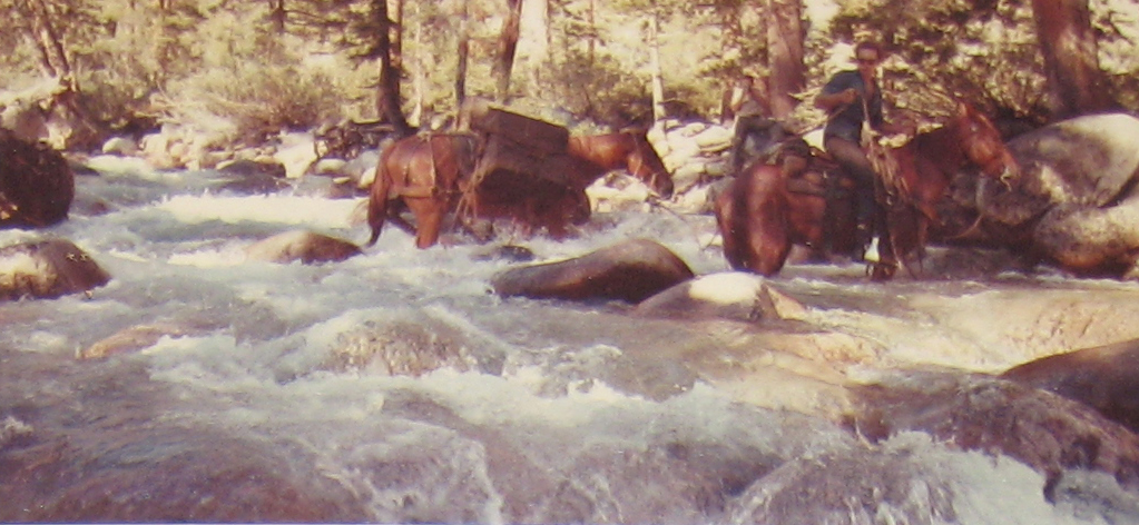 At the point where we left the valley we watched a team of men and horses and mules set up camp next to a footbridge which they had come to repair. They had one poor horse which was stuck with the duty of leading the mules, one by one, across the roaring stream. The mules just sort of sat passively completely unwilling to be led across the rushing water. Some prodding and cussing by the men, and pulling by the horse eventually got them all across.
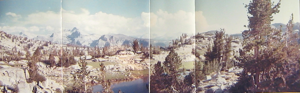
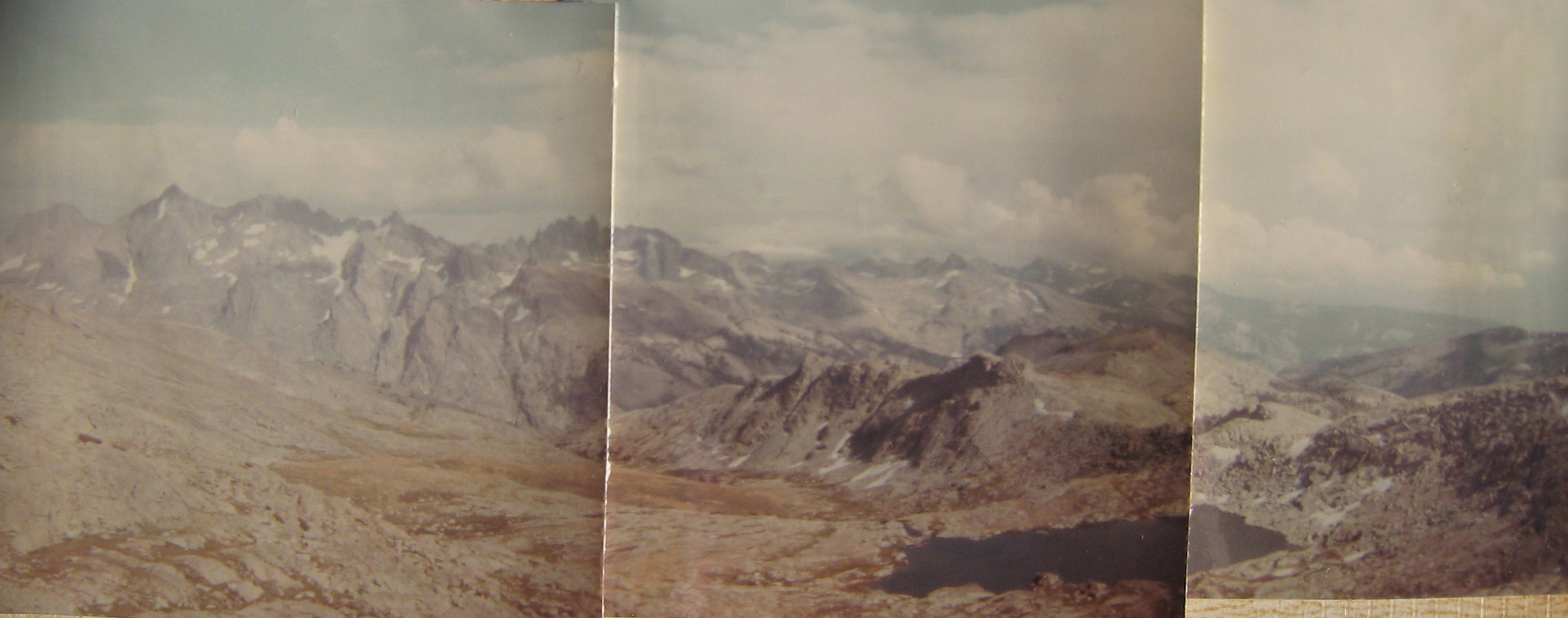
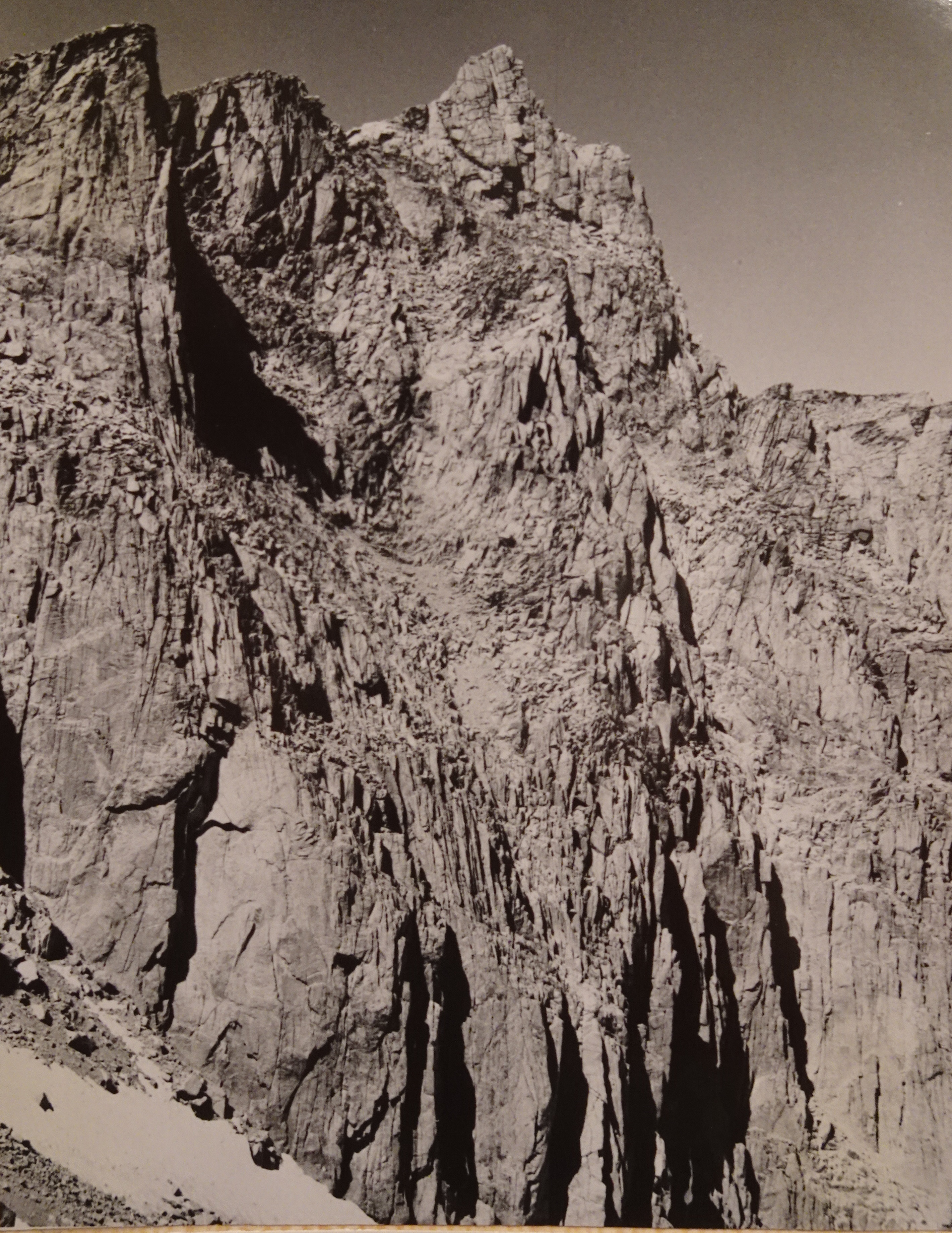
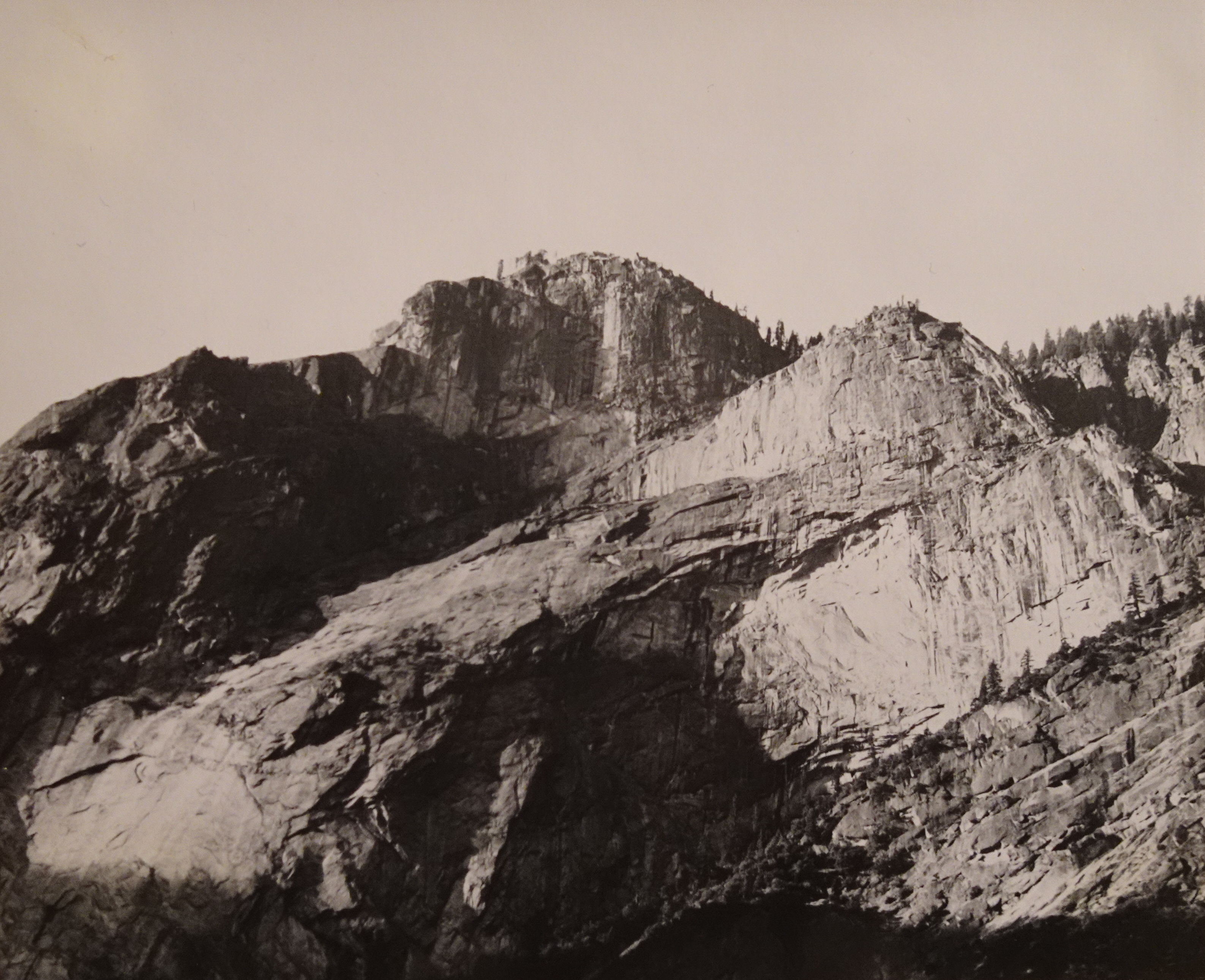
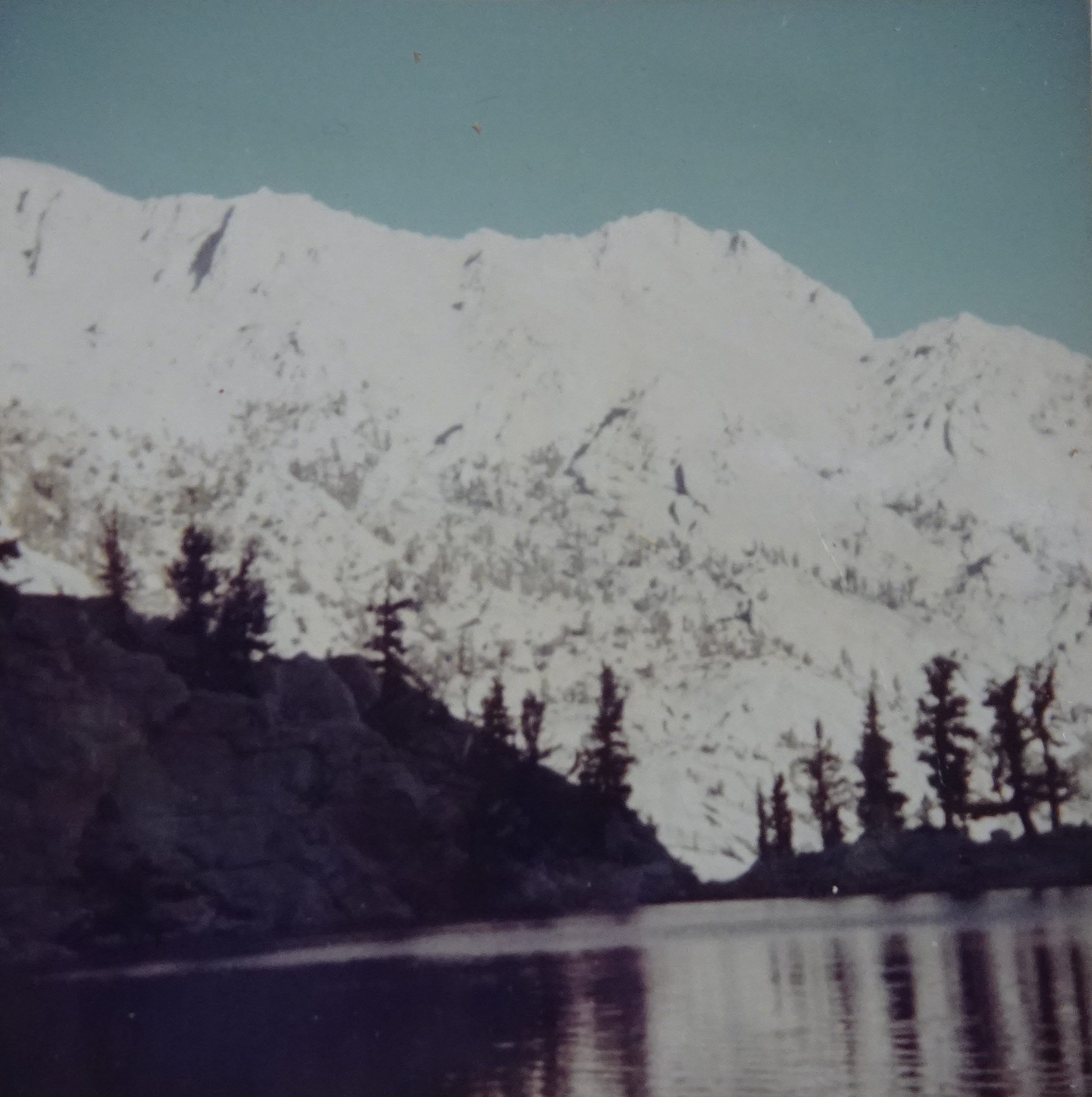
By the way, Photo's 1 and 2 show the first lake we camped at on Whitney's base. Photo 3 shows the view from near the Whitney Summit, looking to the east (the other side from where we came).
Wow. Interrupt the narrative for a second. 10PM and we just had a minor quake. Whole building [Oxford Hall next to Berkeley campus, CA] shook back and forth. Radio station in S.F. mentioned in just now. Neat. Groovy. Hope nothing bigger hits.
Next day we hiked down the other side of the ridge past many lakes. 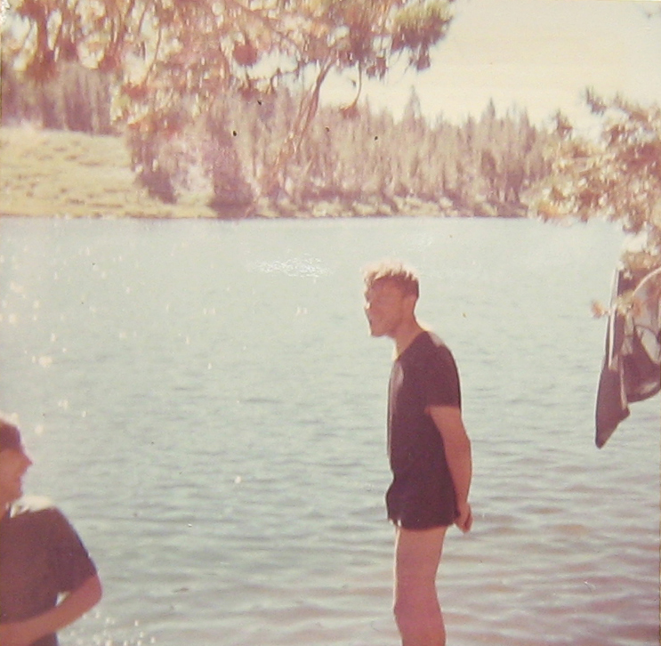 At one lake the other two stripped down and jumped in, then jumped back out. Water was freezing.
 I just washed some clothes, not me. Stayed at a place called Kip Camp that evening. 12 miles.
Edison lake was our next goal. It was basically just on the other side of a very high ridge-line. We split up that day because I wanted to hike at my own and slower speed to let my feet heal. Was wearing a new pair of tennis shoes and had a nice family of blisters. Turned out we camped a half-mile from each other that night, hiked to a store and back the next day on the other side of Edison, but never met until they passed my camp coming back from the store, although I had returned down the same path 1/2 hr. earlier from the store.
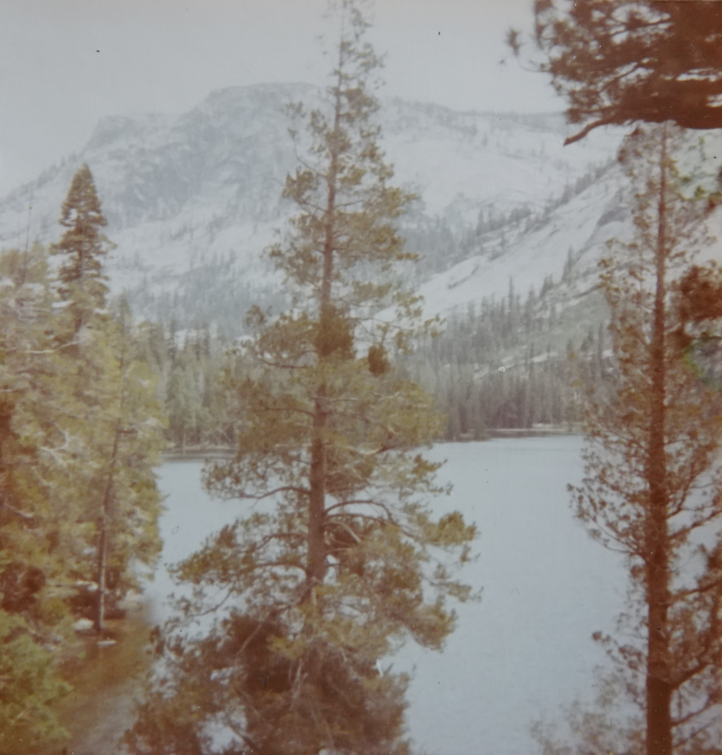
Next day we hiked through the most beautiful country of the trip. After a short climb we ate lunch that day at the beginning of a large meadow near a stream (Ph. 4); after crossing the meadow the path wound up through a pine forest with a thick grass carpet. The sun streamed down through the leaves and dappled the lawn. Warm and pleasant. (Ph 5-8).


