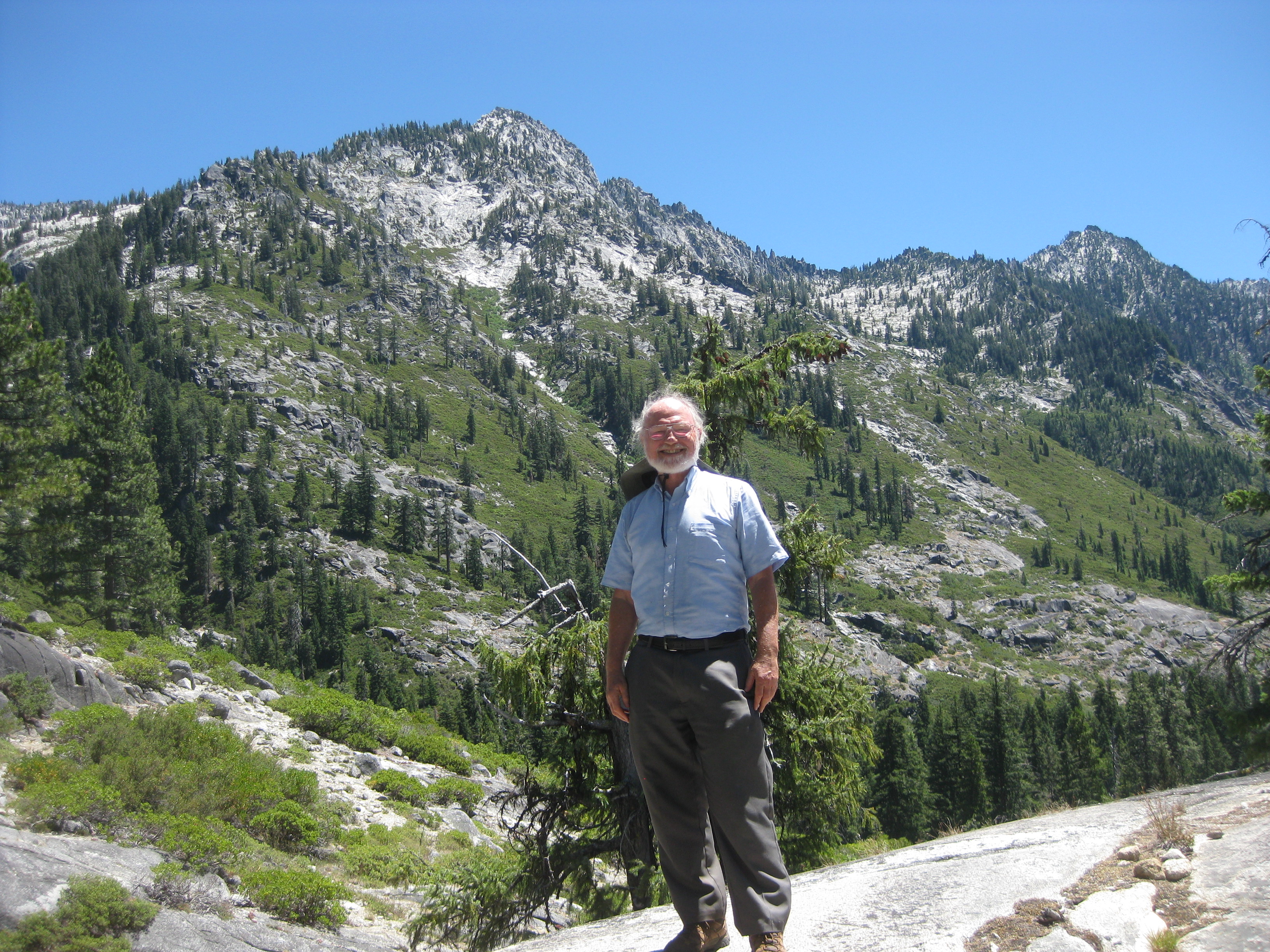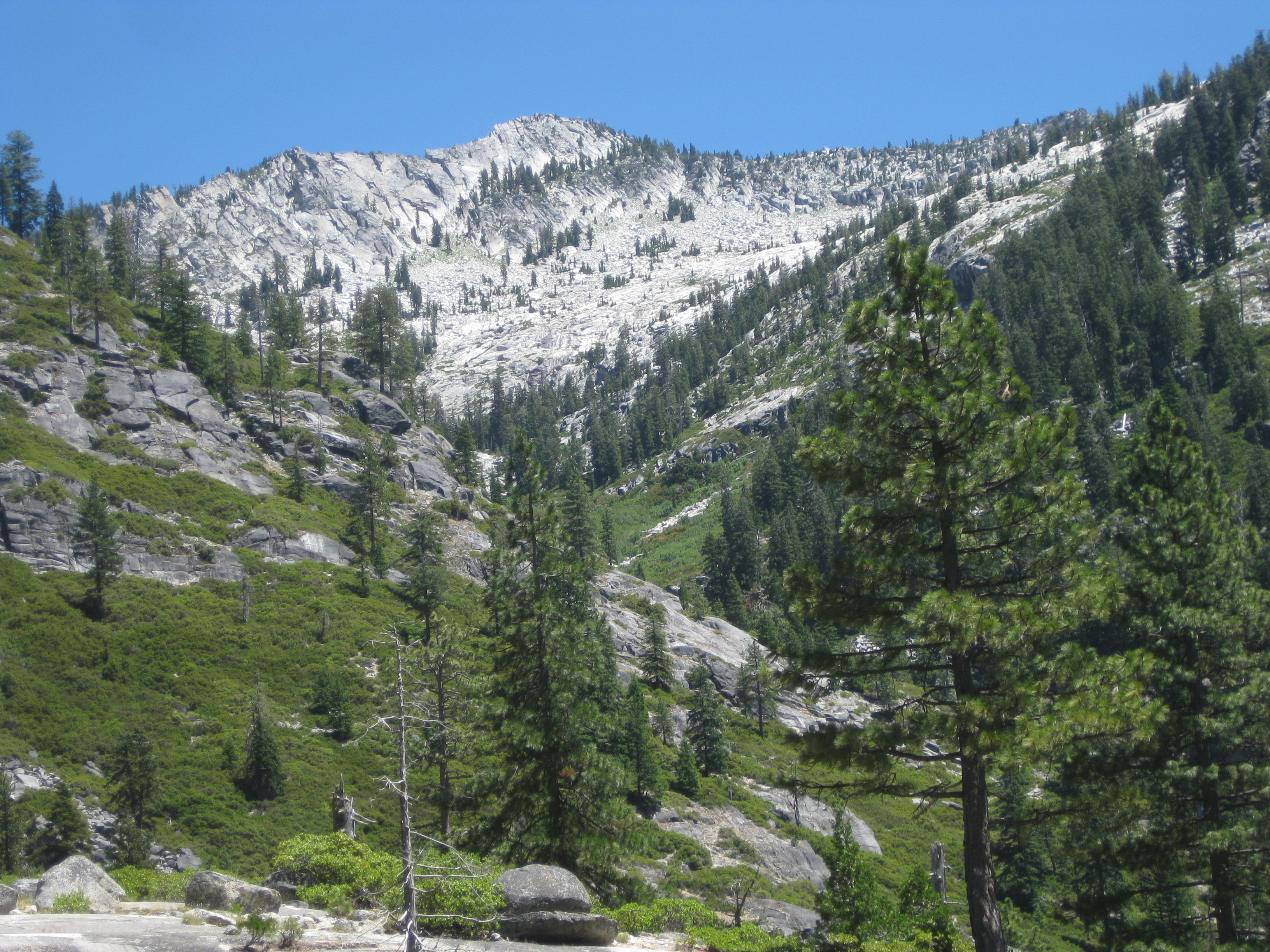
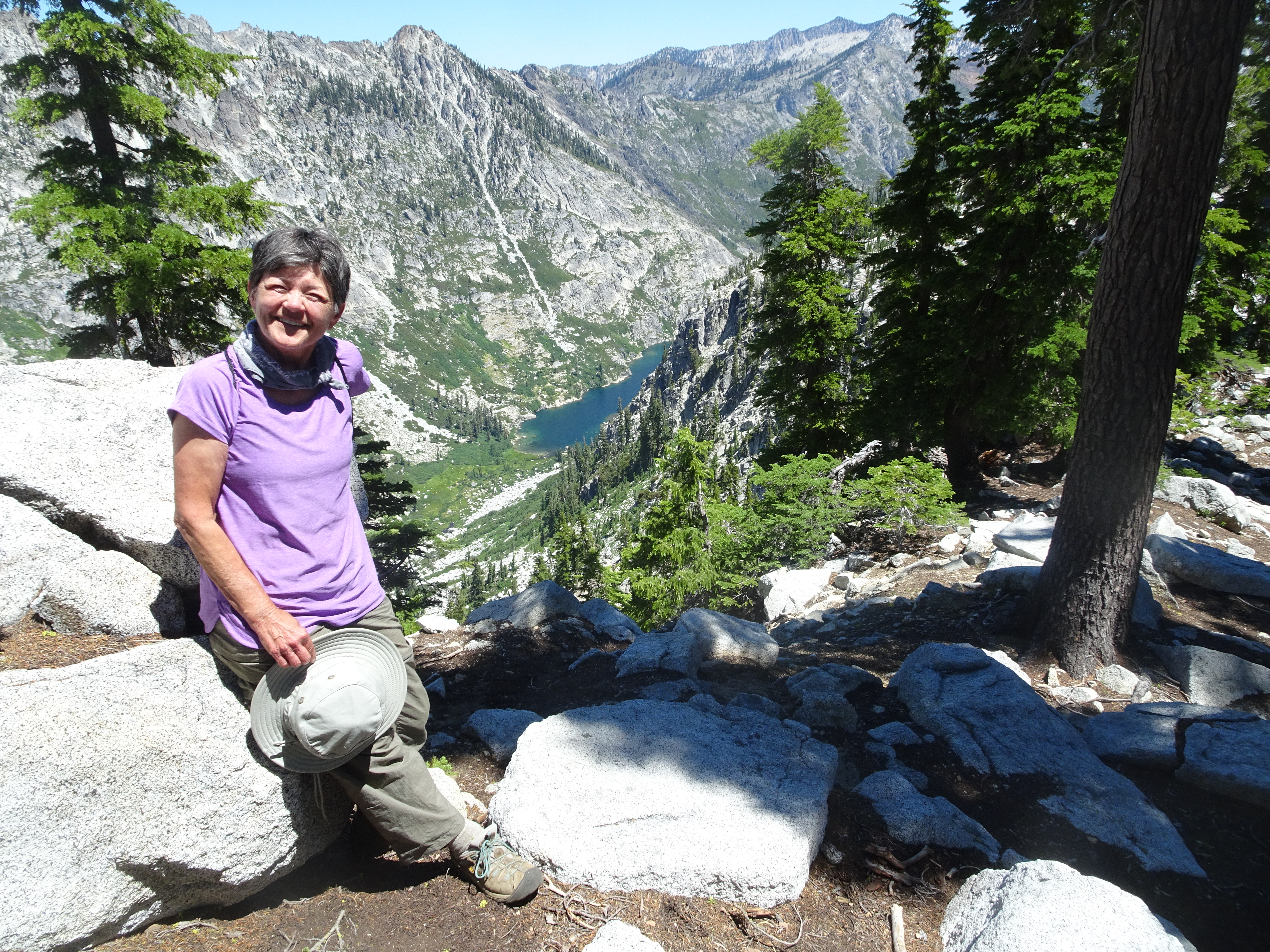
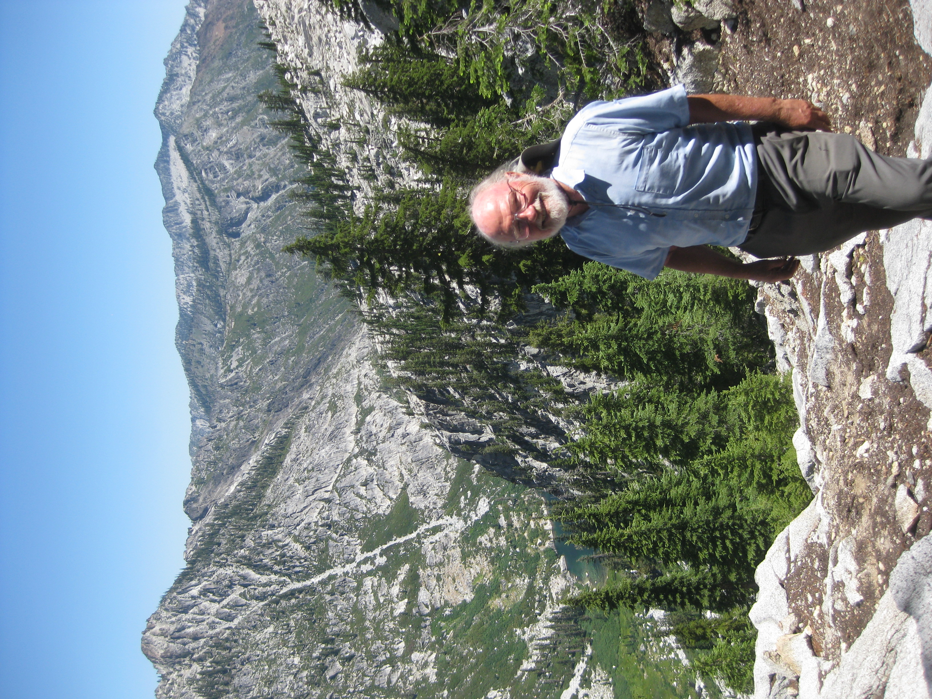
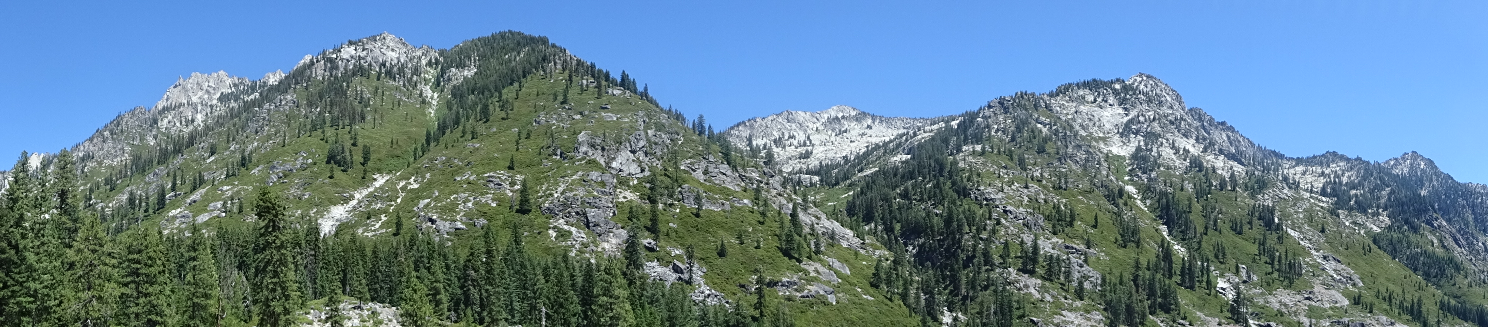
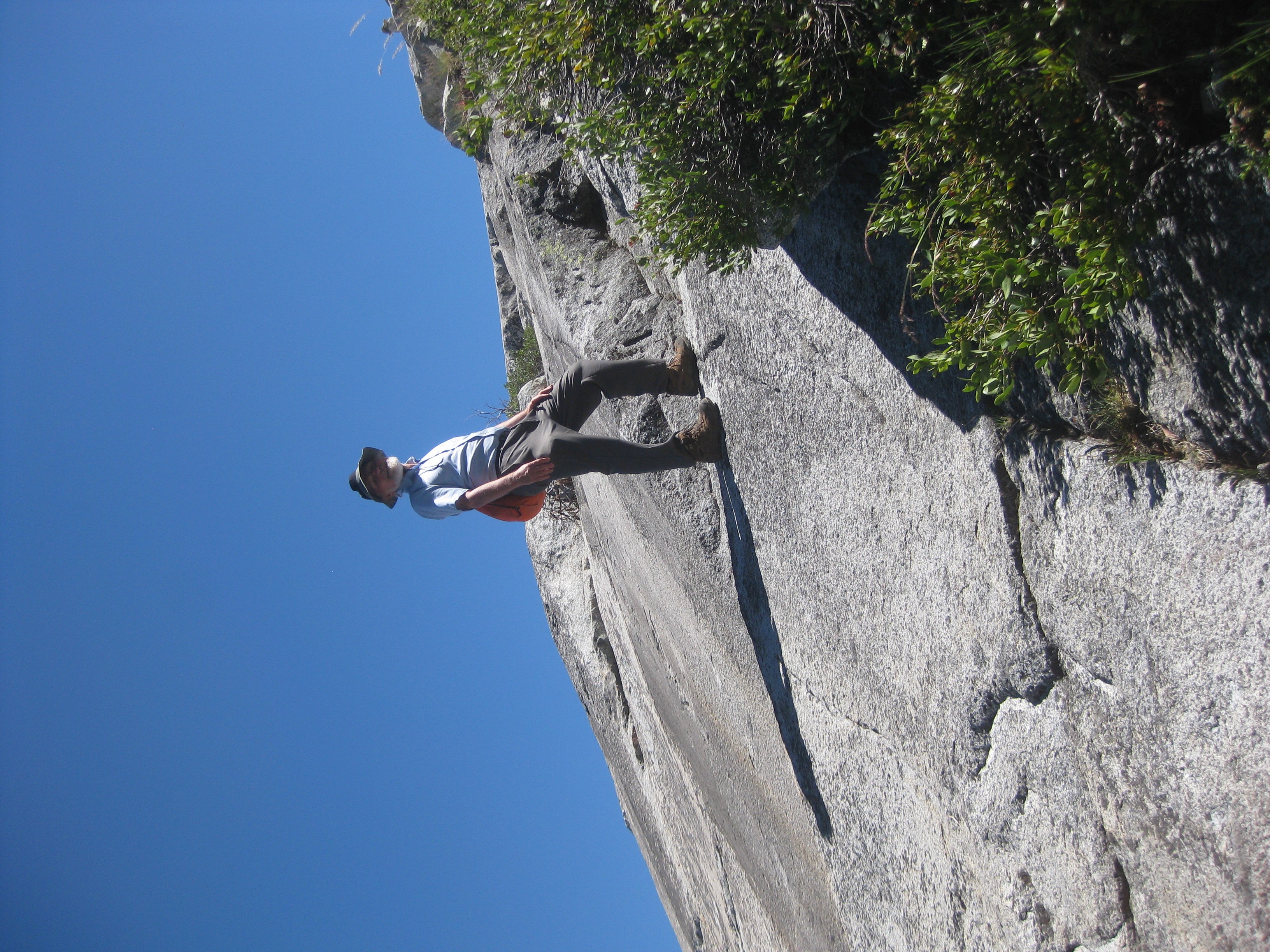
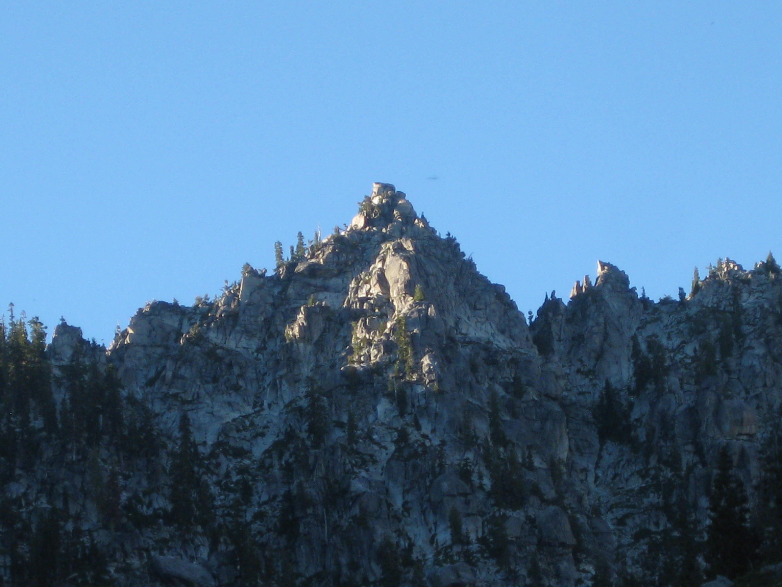
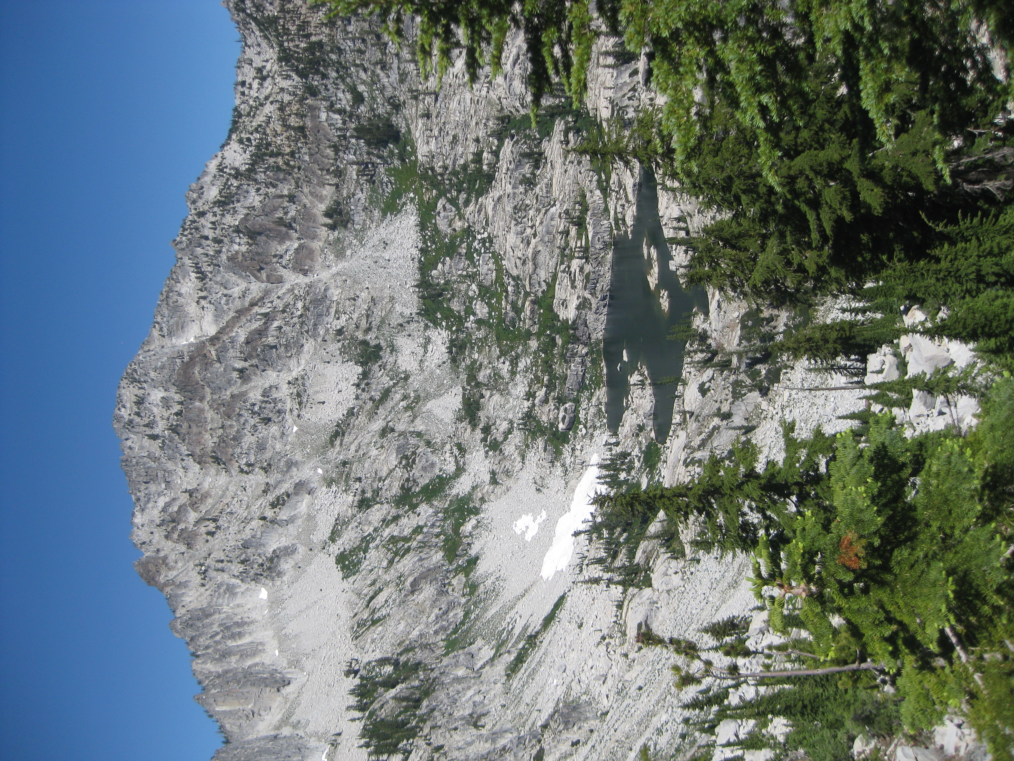
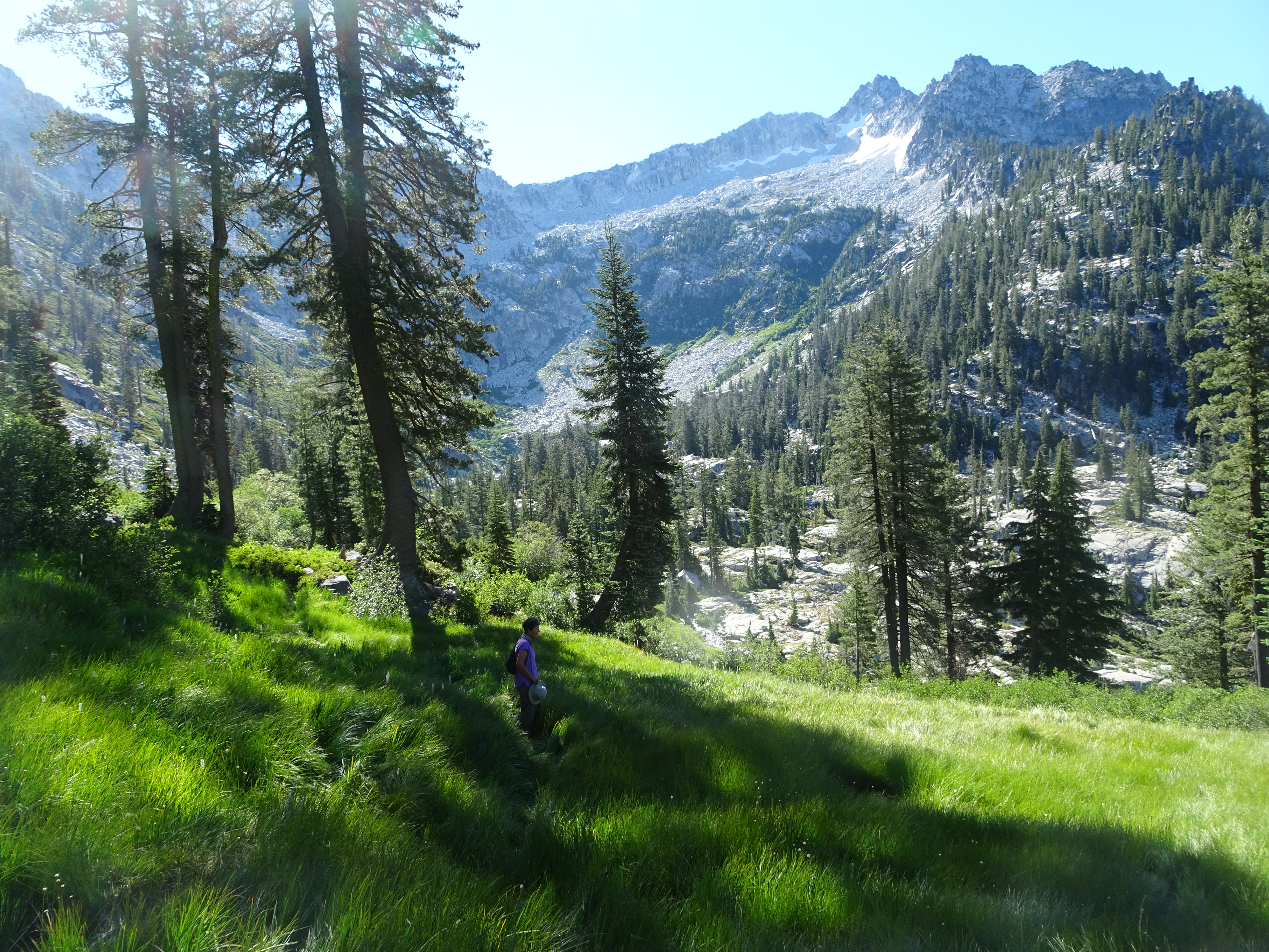
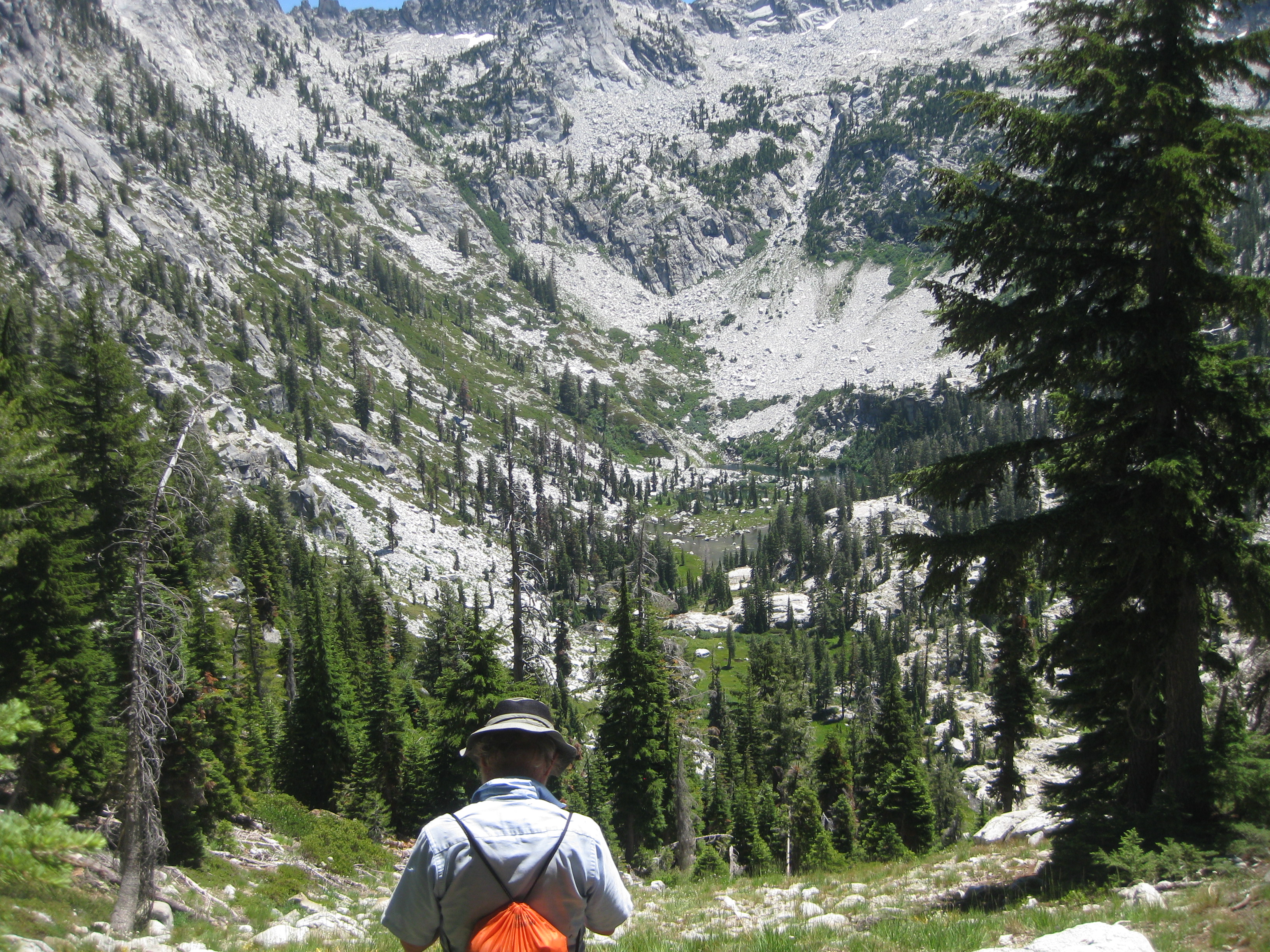
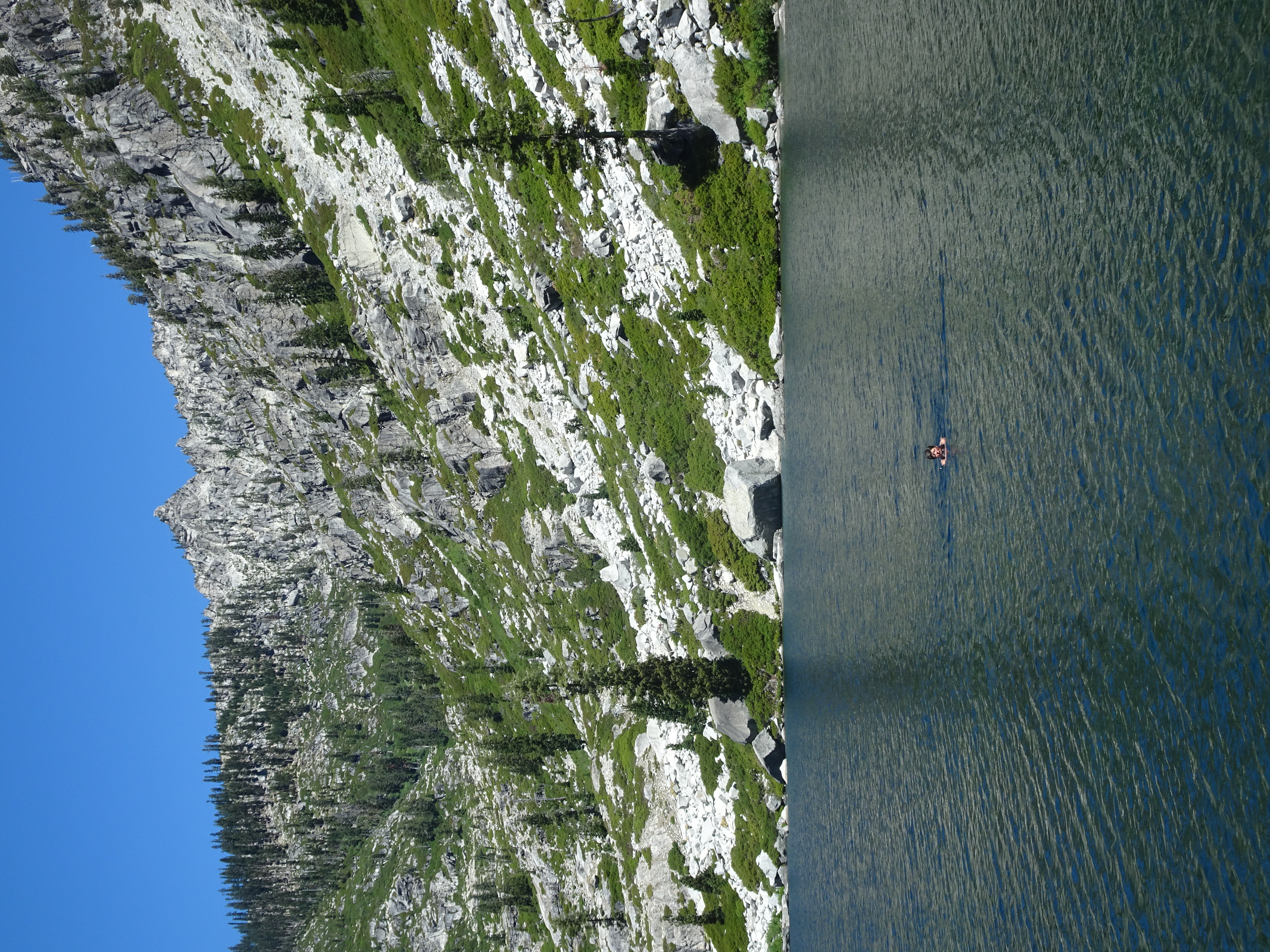
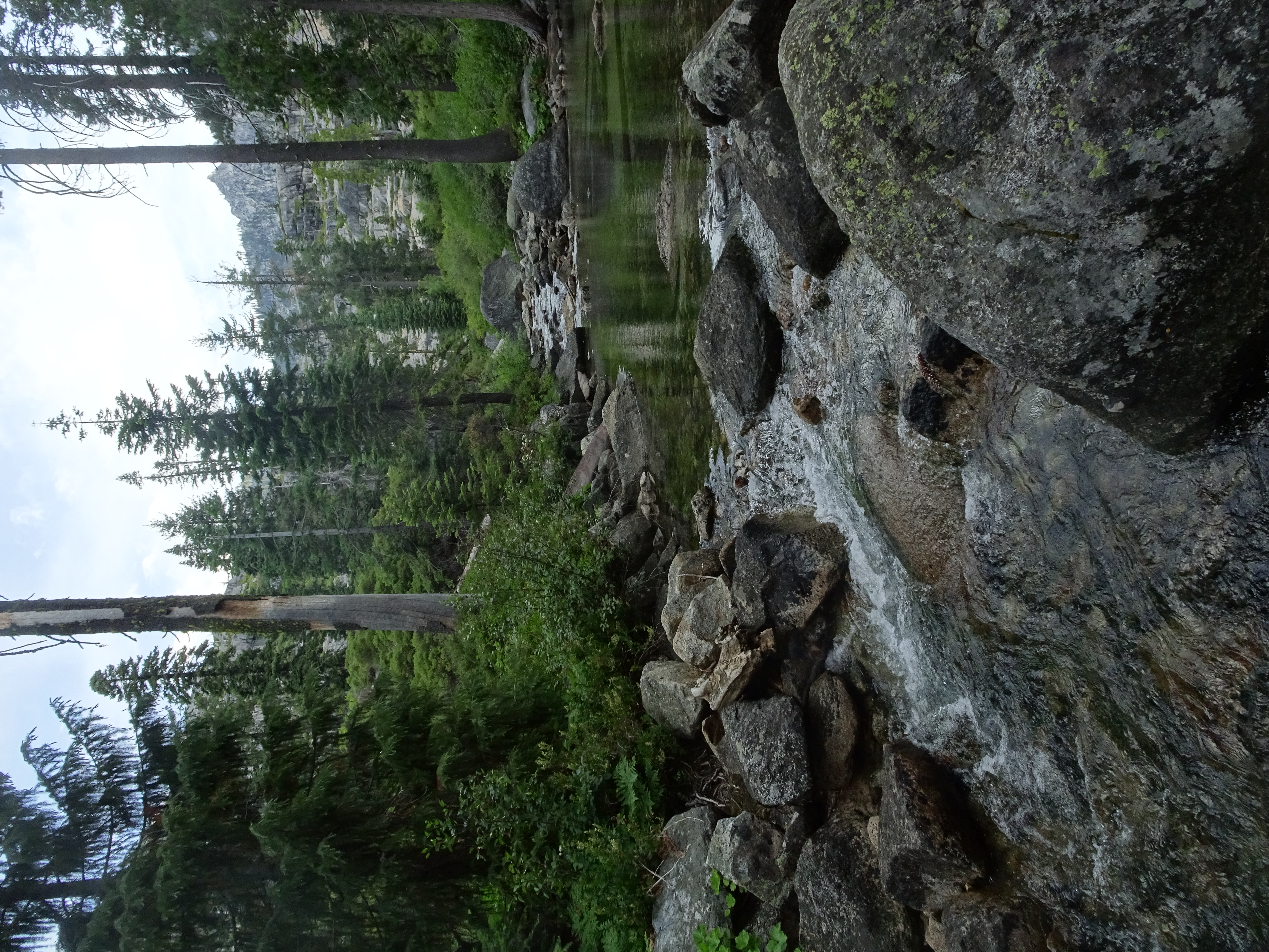
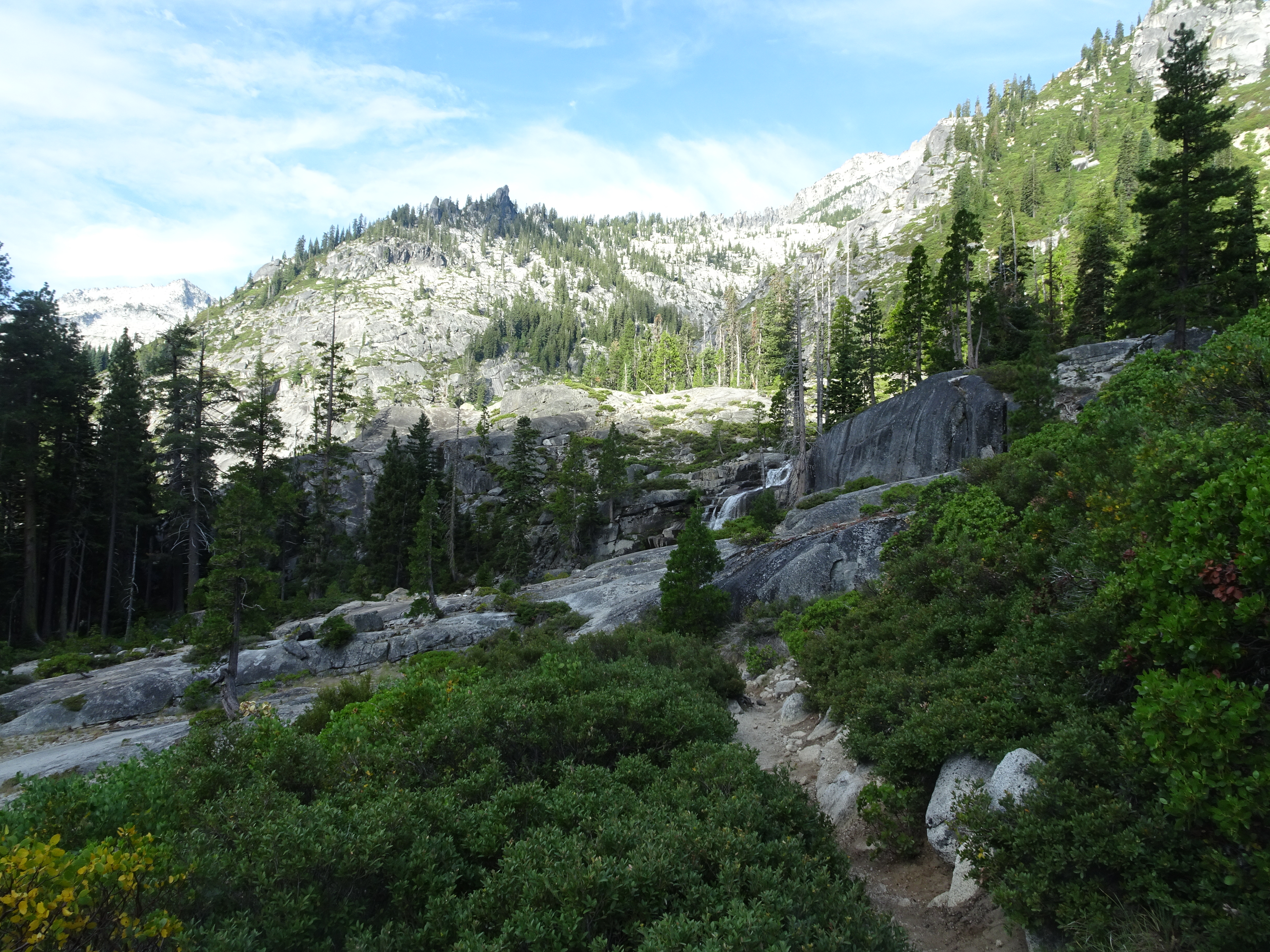
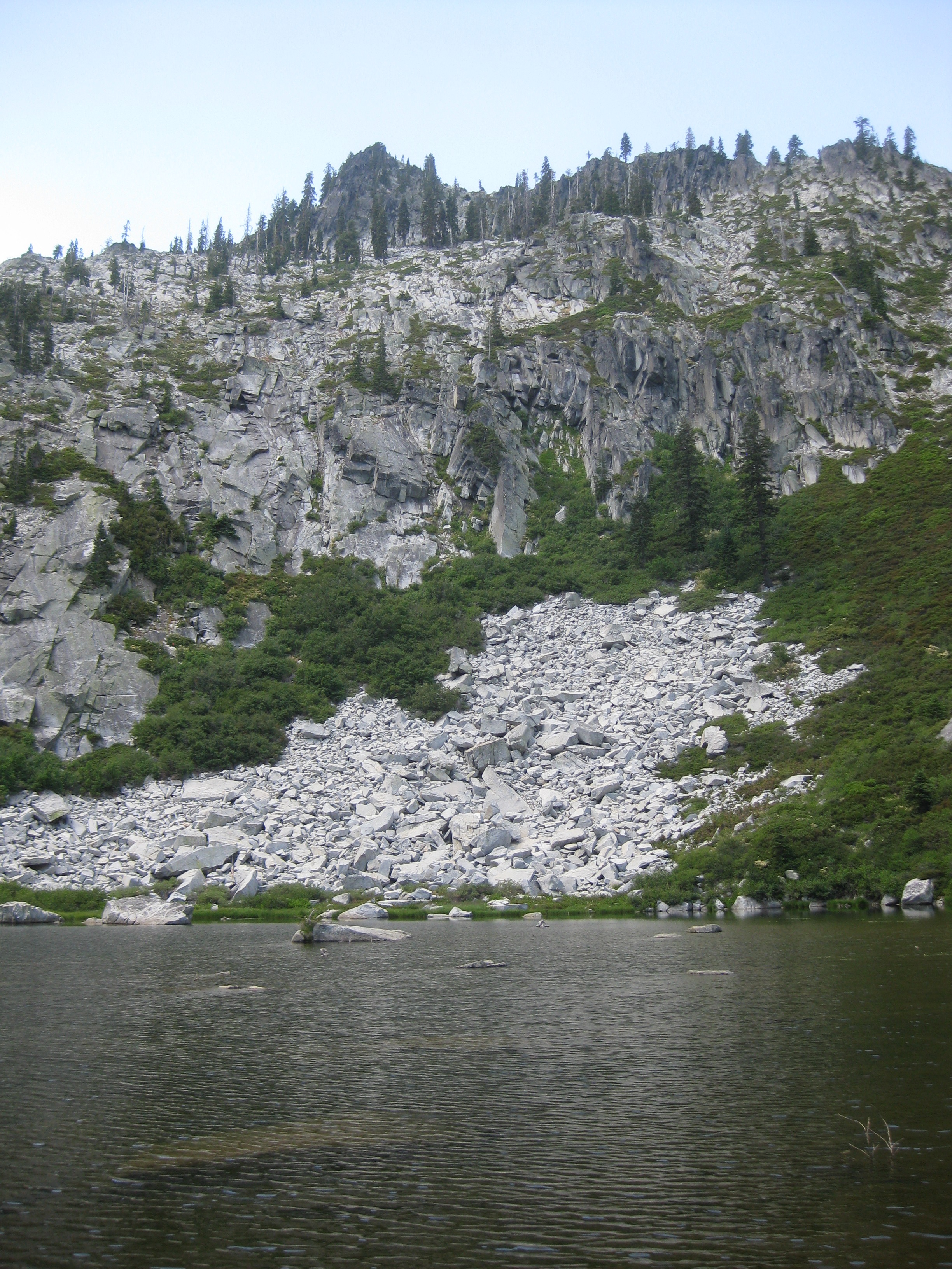
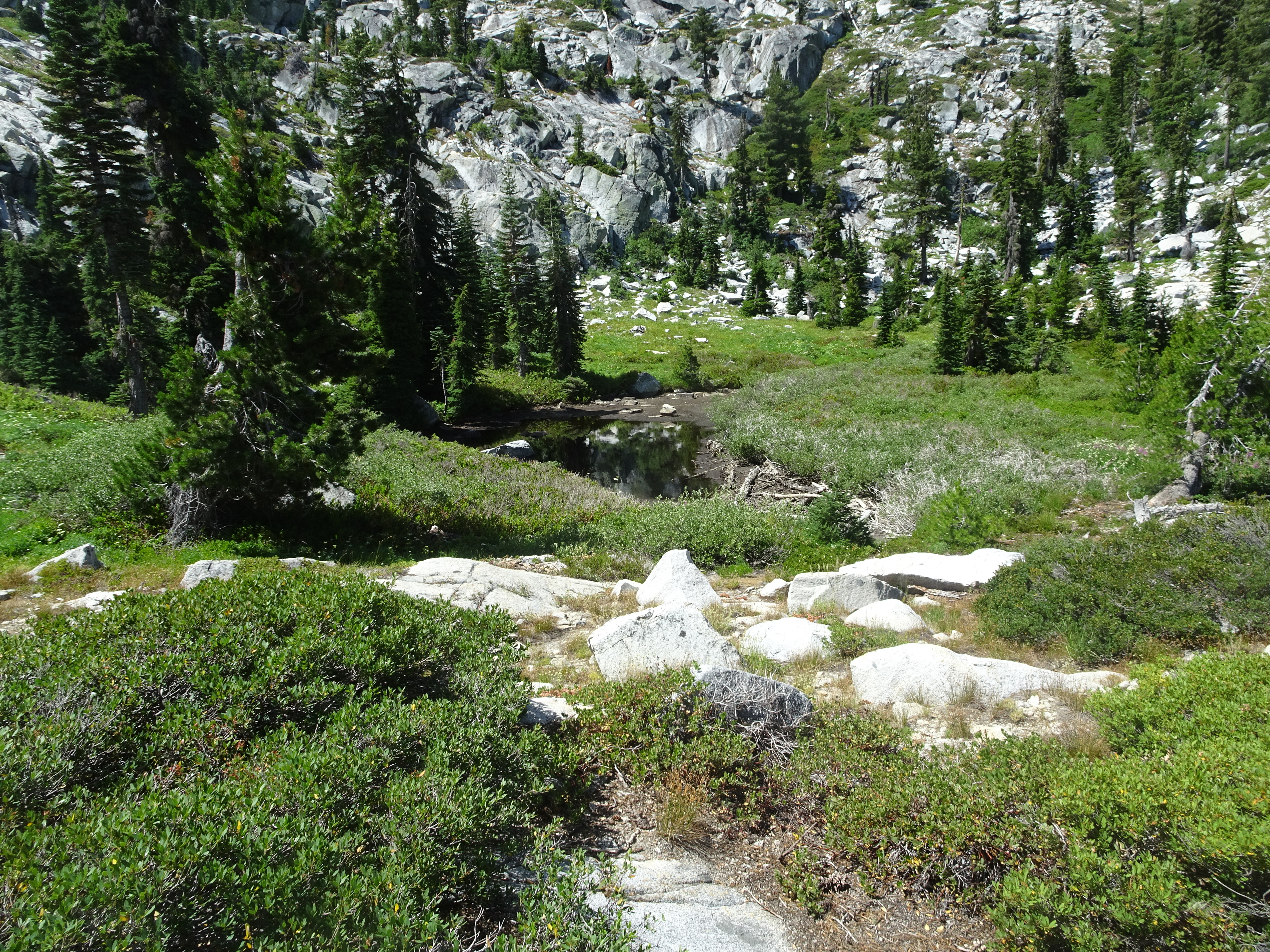
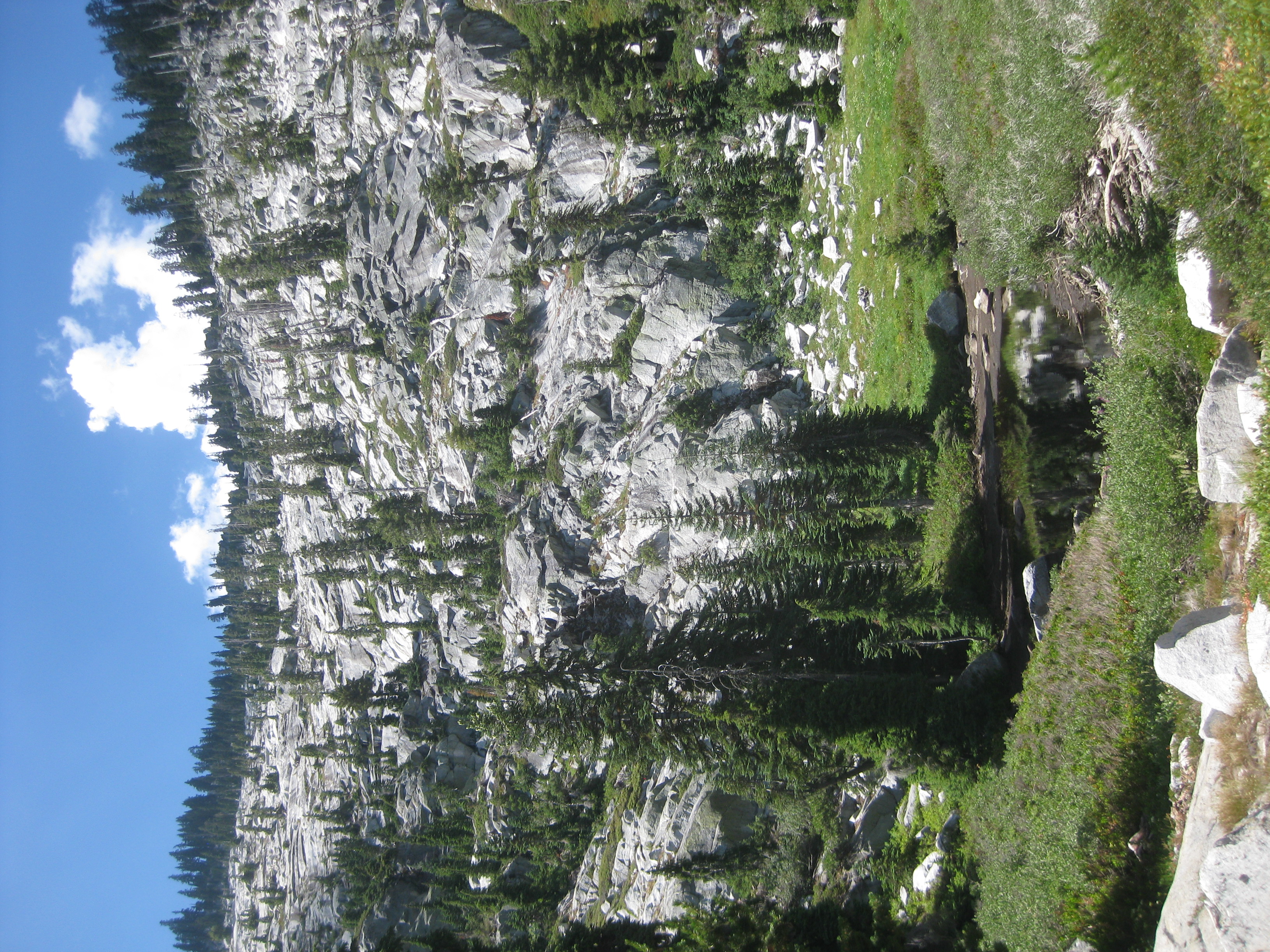
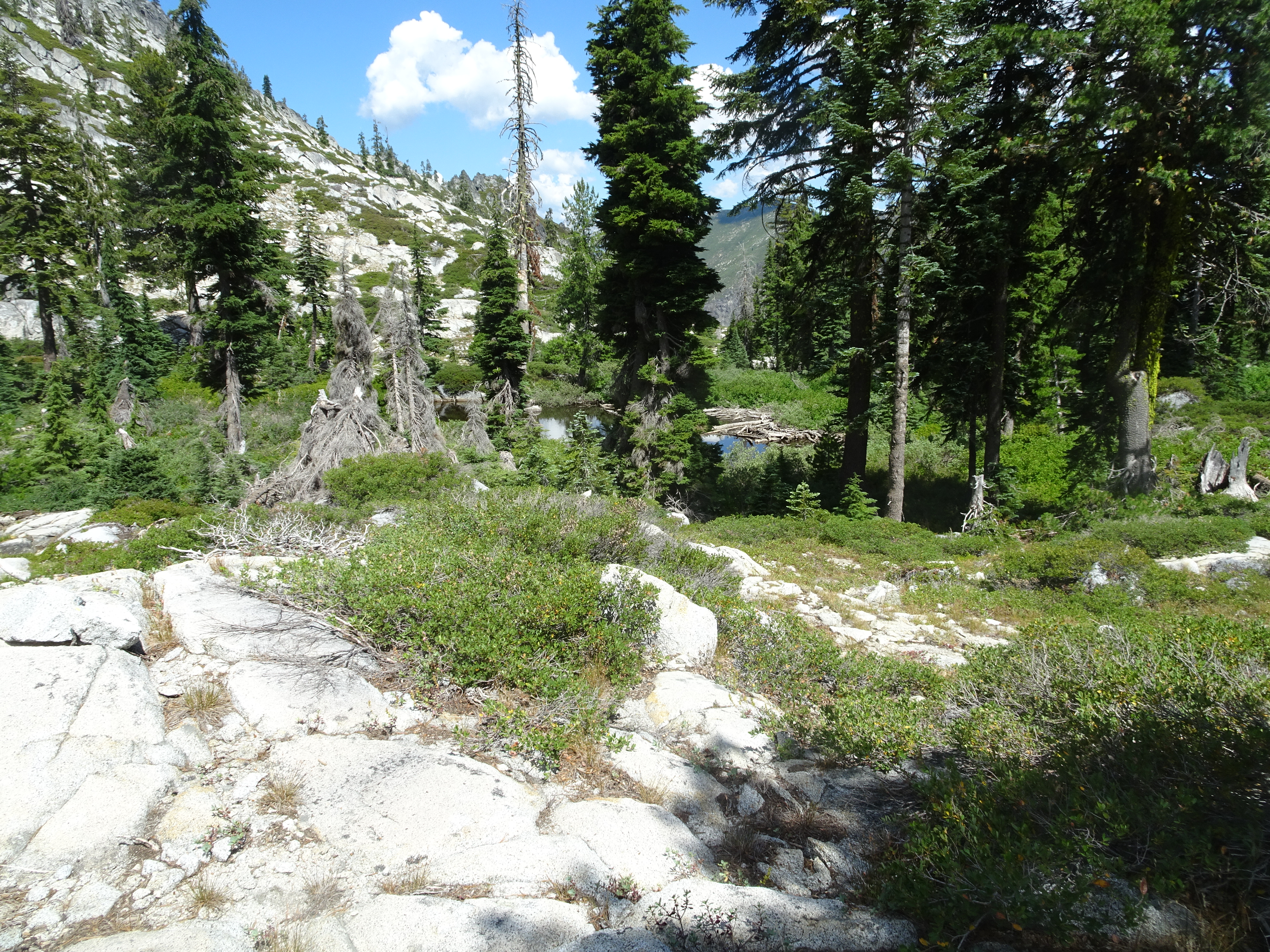
For any of the following Favorite photos, click on the image to bring up the full resolution version. Day by day photos and narrative follow these. The first 4 photos are taken at the saddle of a ridge - our high point - above L Lake that looks down and across to Mirror Lake and Sapphire Lake. We had been on the shore of Sapphire Lake on a backpacking trip 2 years ago, as described here
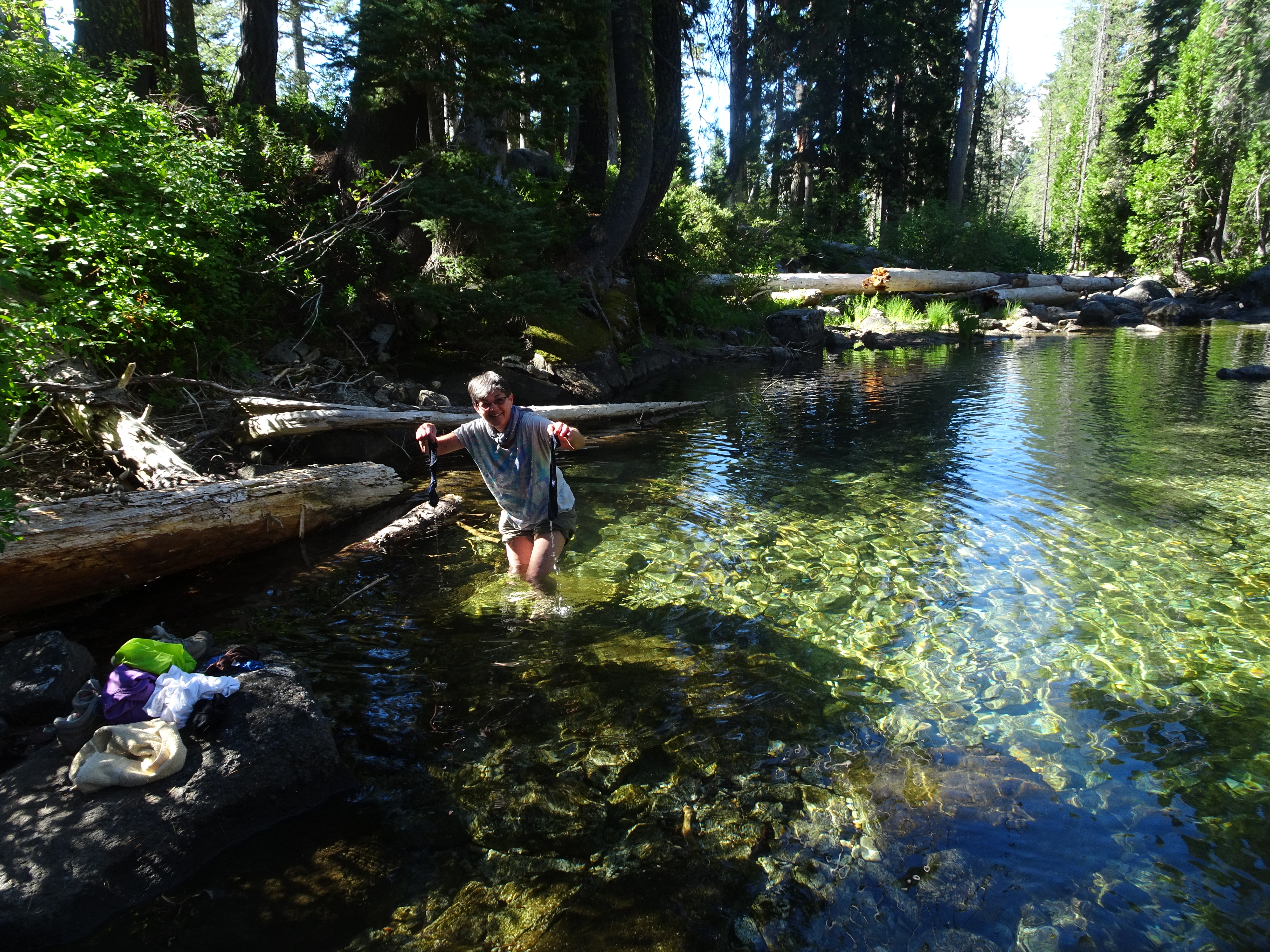
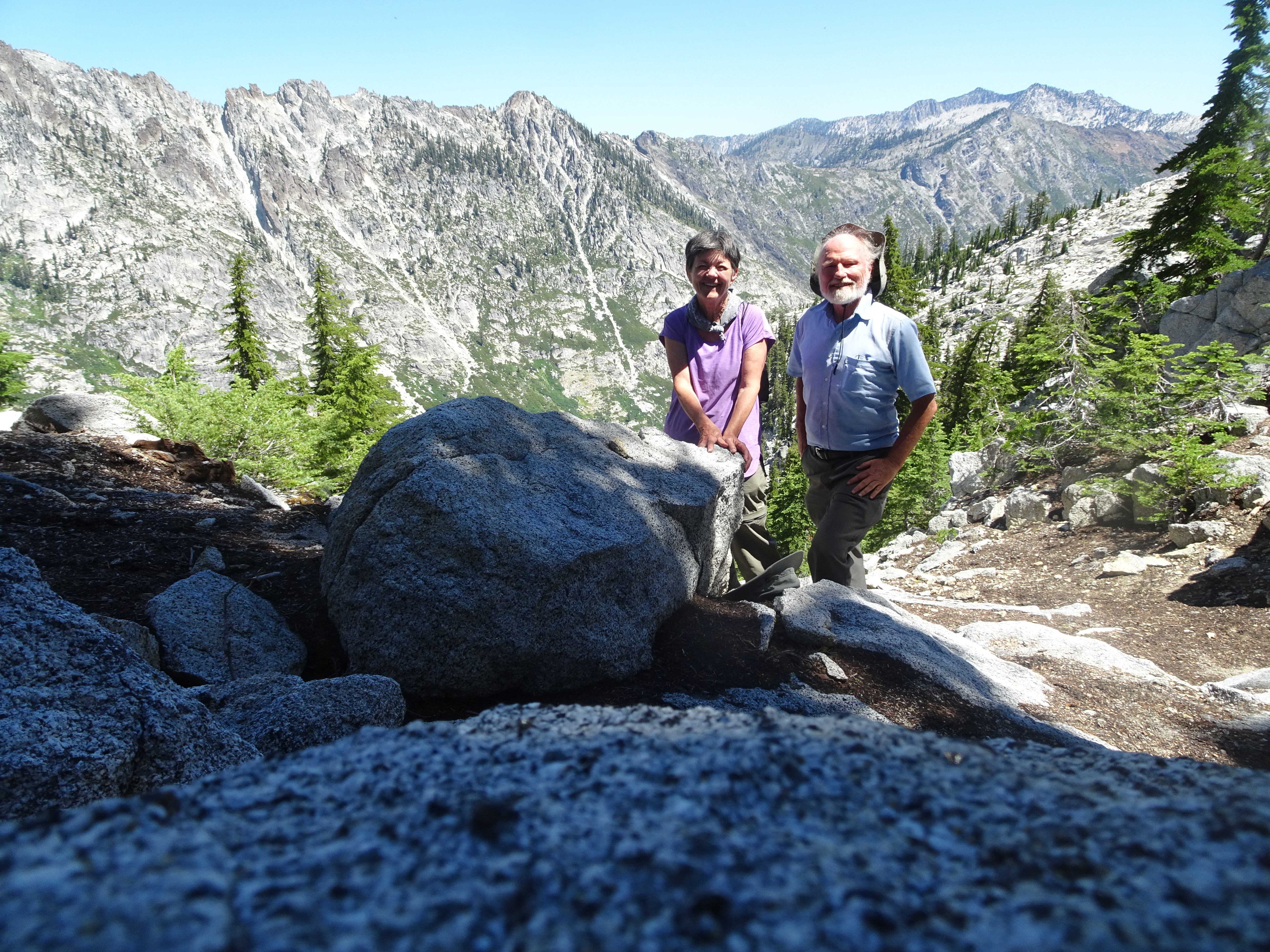
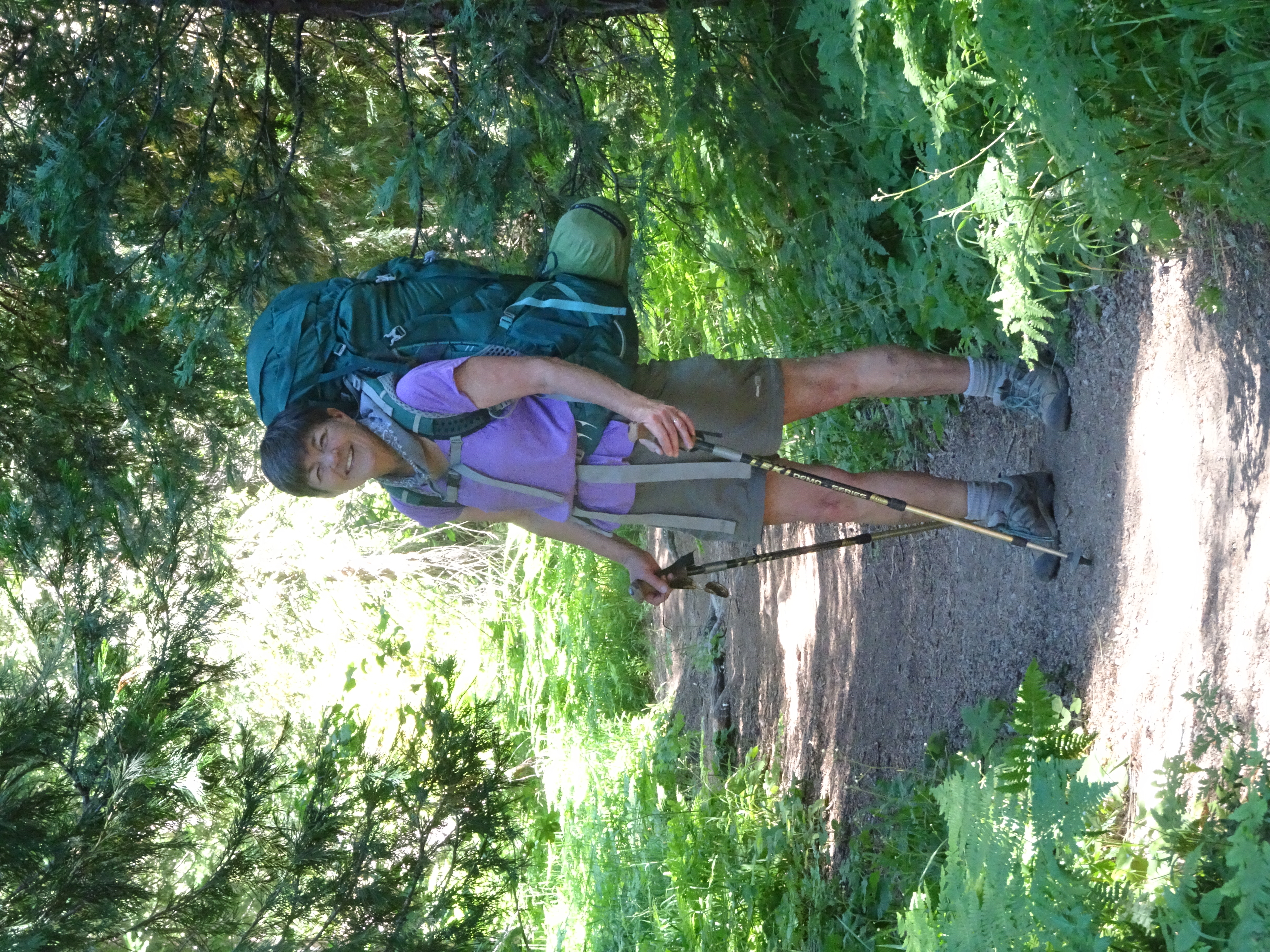
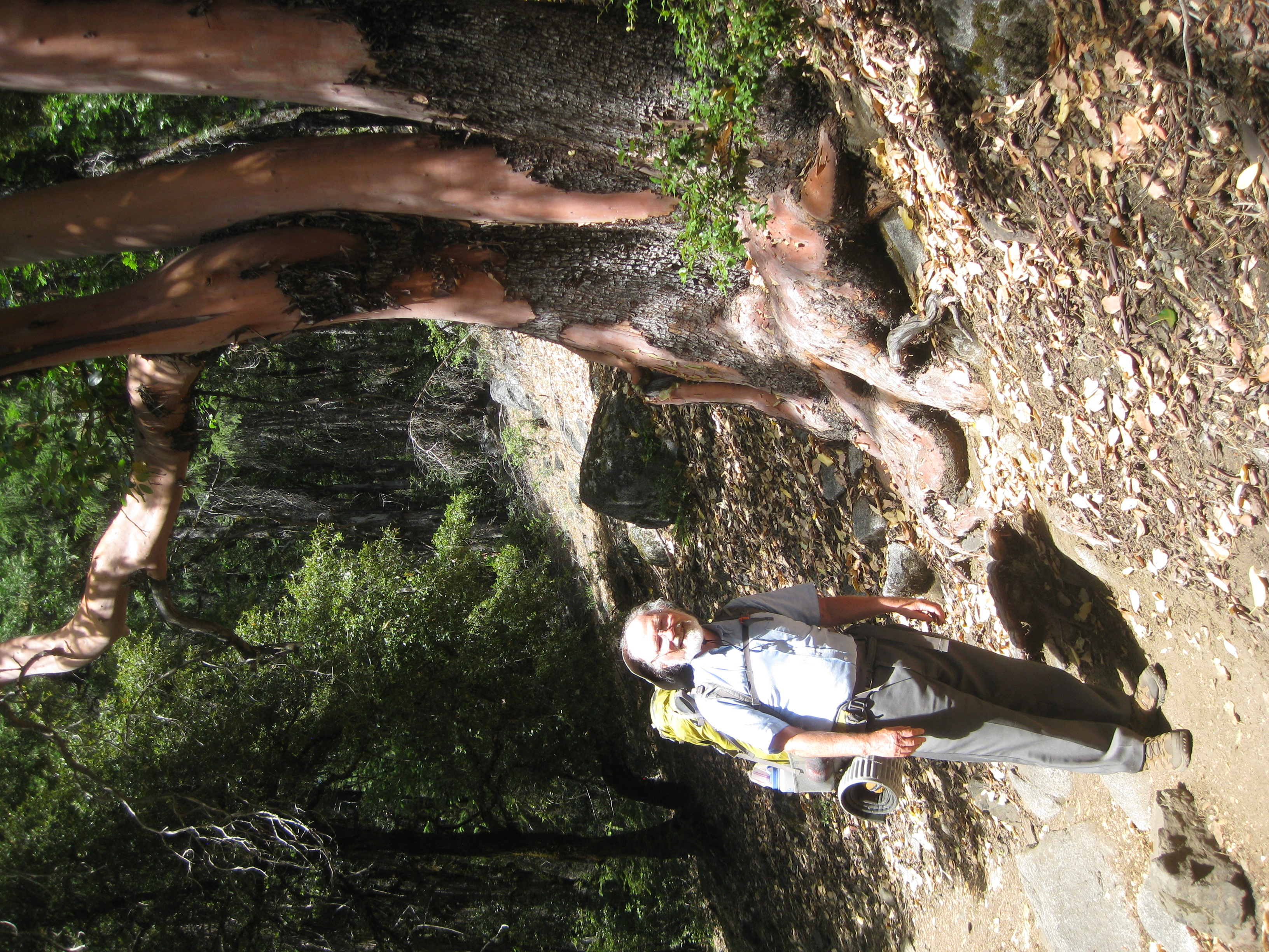
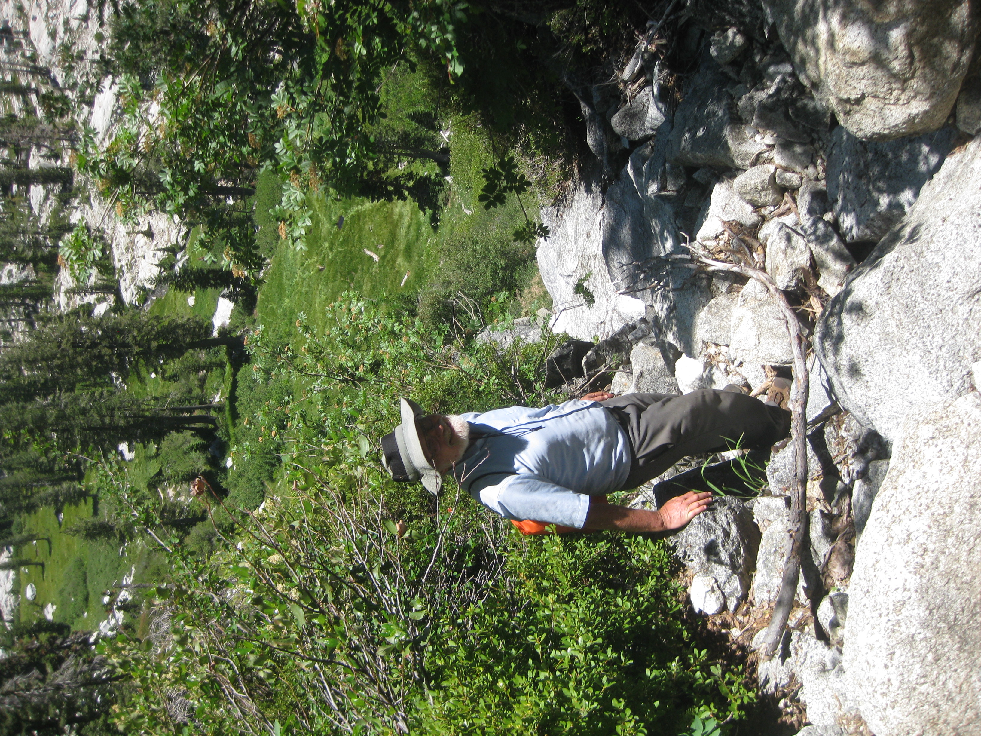
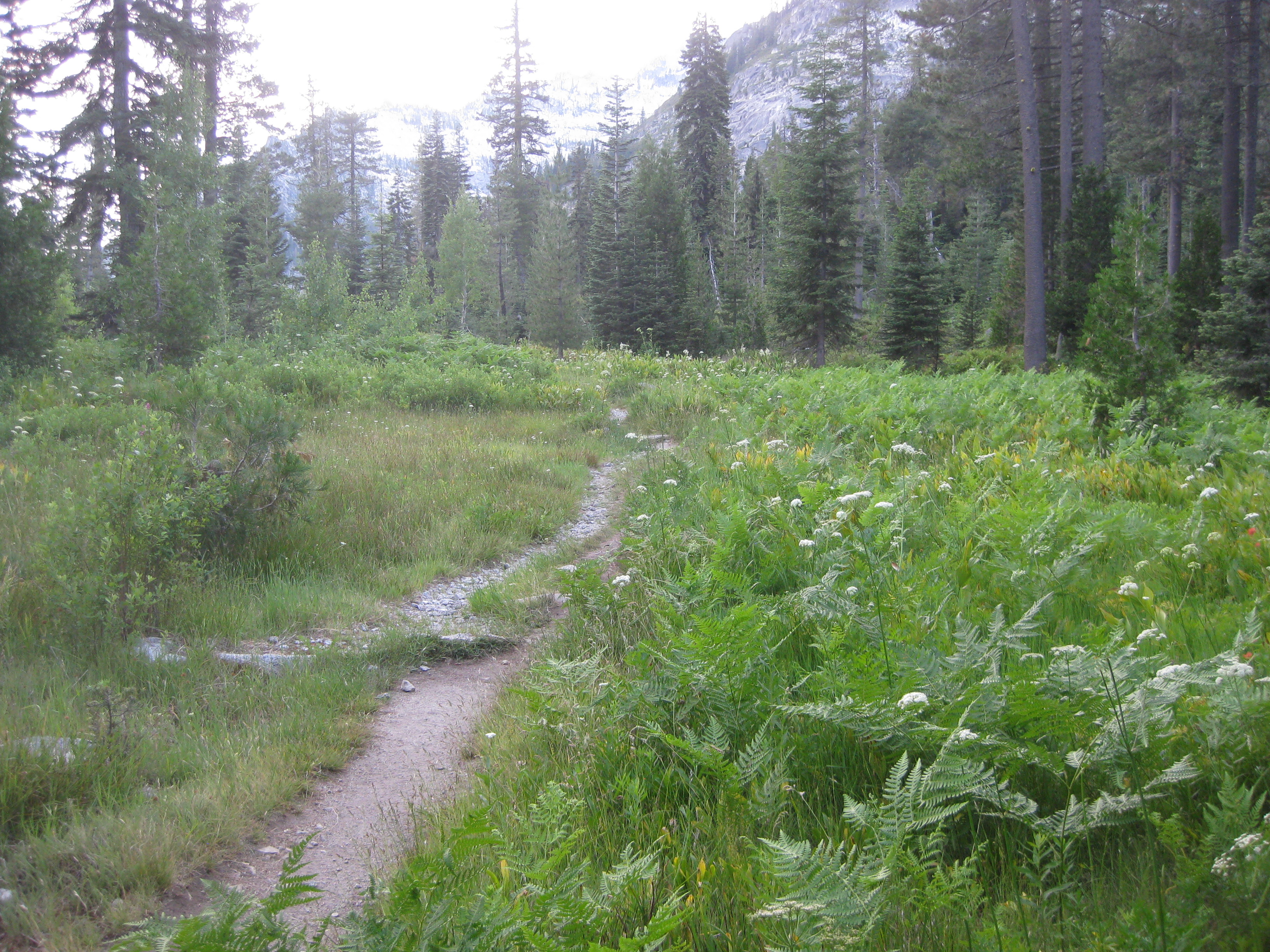
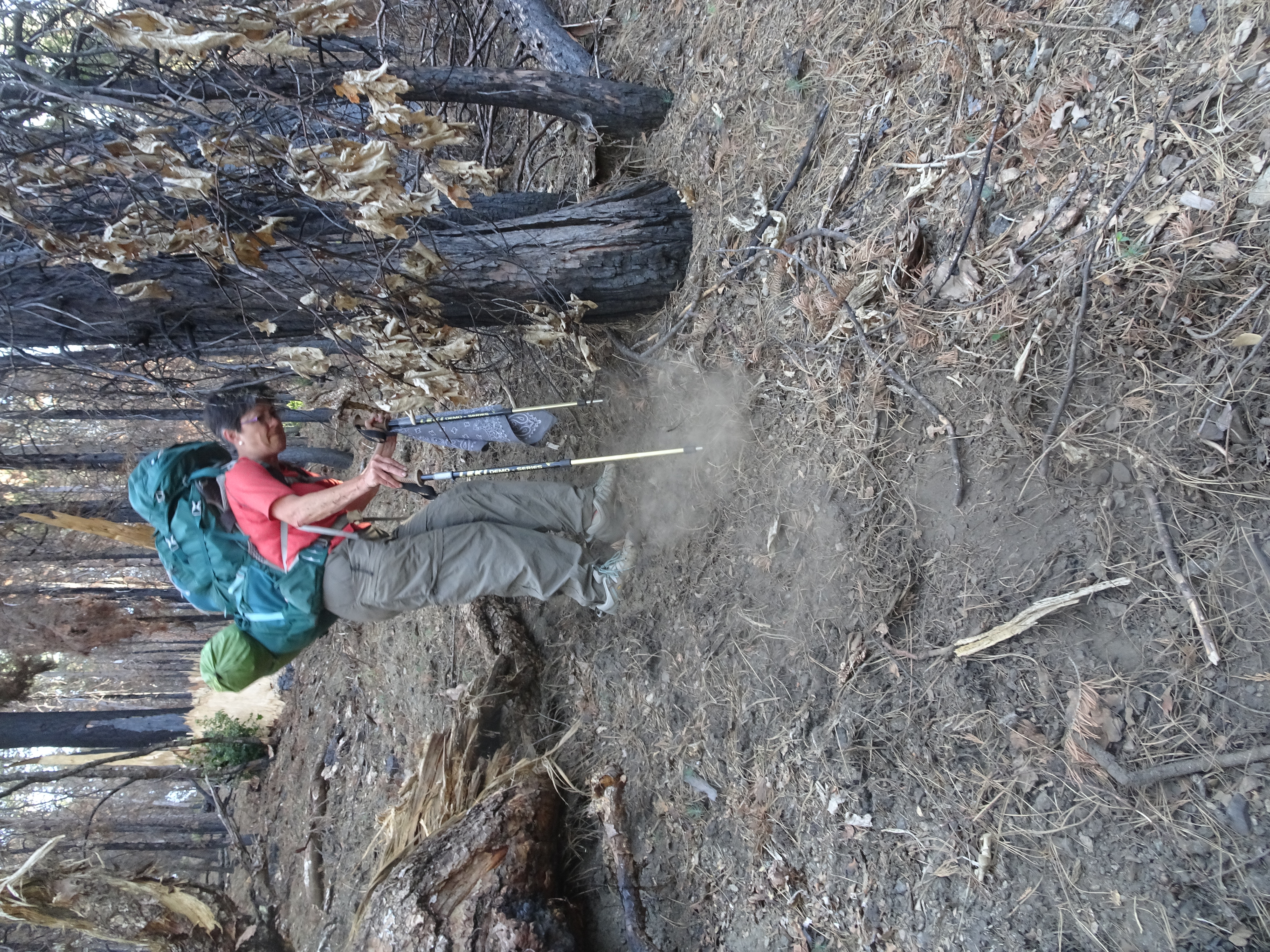
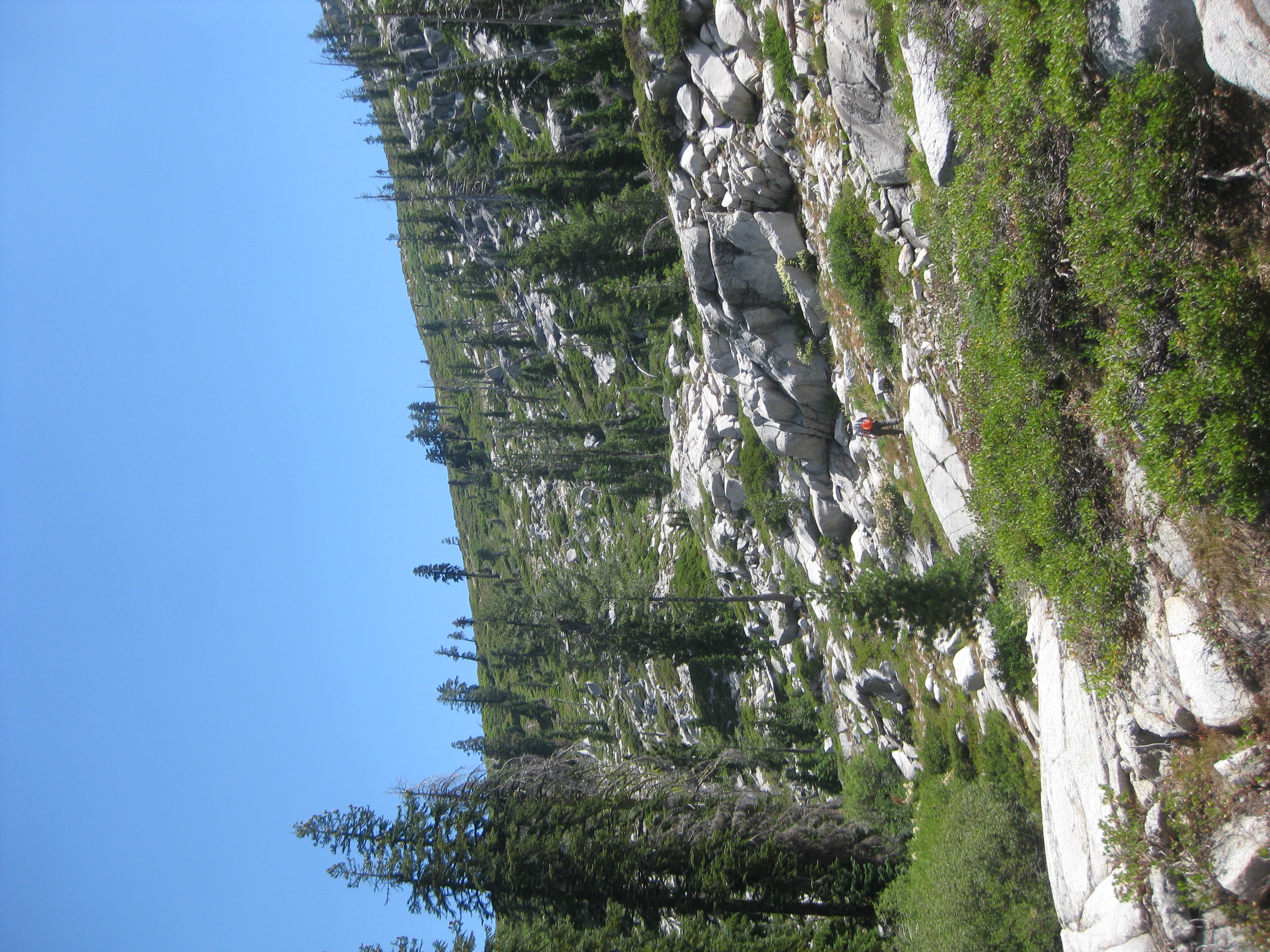
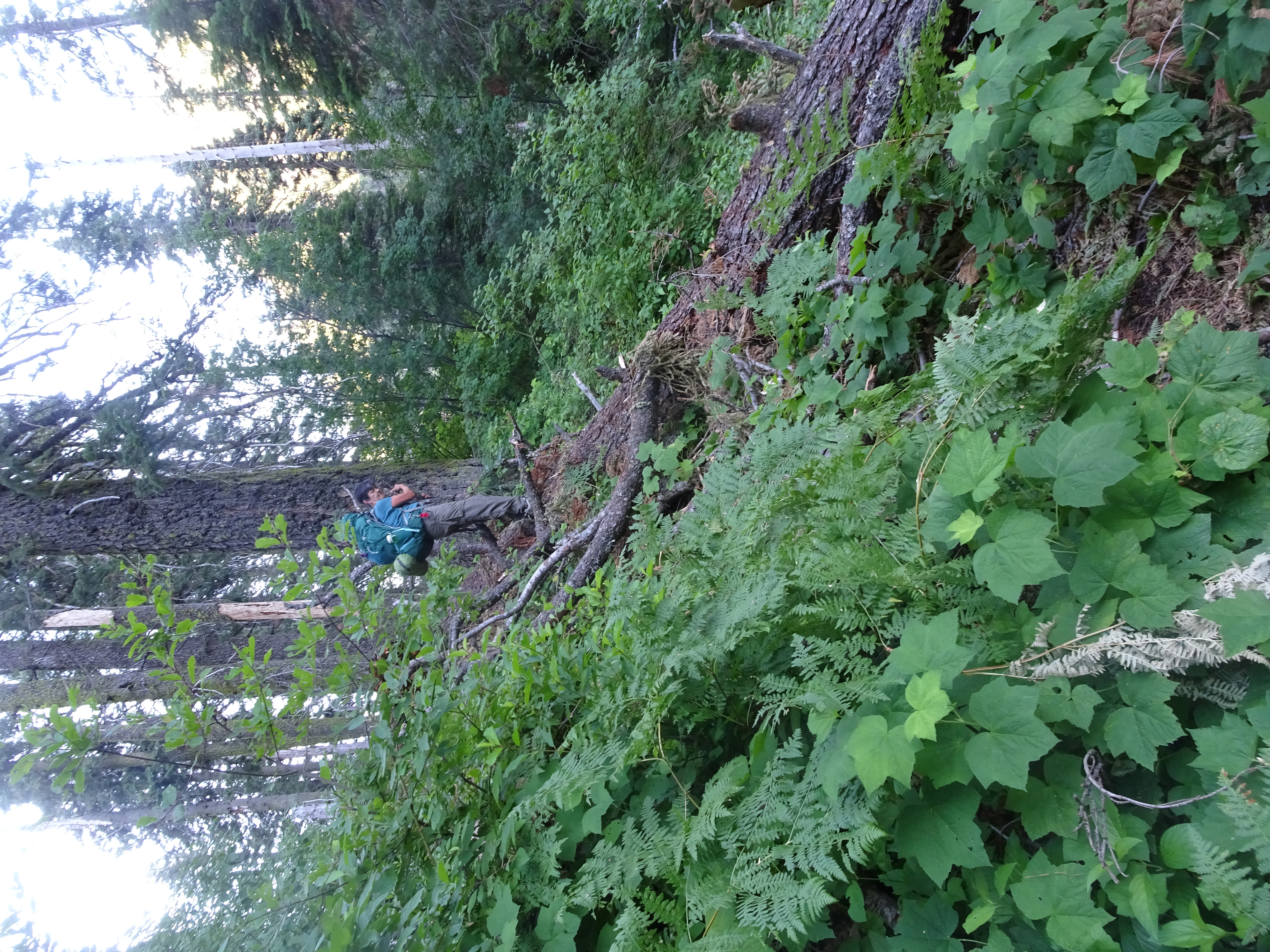
The 2 photos after that show us along the trail as we backpacked up towards Canyon Creek Lakes.
|
 |
 |
 |
 |
 |
Video suggestion: All videos shown below are very short and HD (1080p). I find best YouTube settings (for all but the few with Bob, Reenie, or animals) are HD (1080p), slow motion (0.25 or 0.50), and full screen. Actually, watching Bob and Reenie in slo mo can be amusing.
Began driving to the trailhead from Oakmont at 6:45, arrived at trailhead parking by 1 PM, then backpacked about 3 miles to the Sinks.
Videos:
Backpack Elevation Profile:
 |
Dinner: Subway all-veggie sandwiches.
Diary:
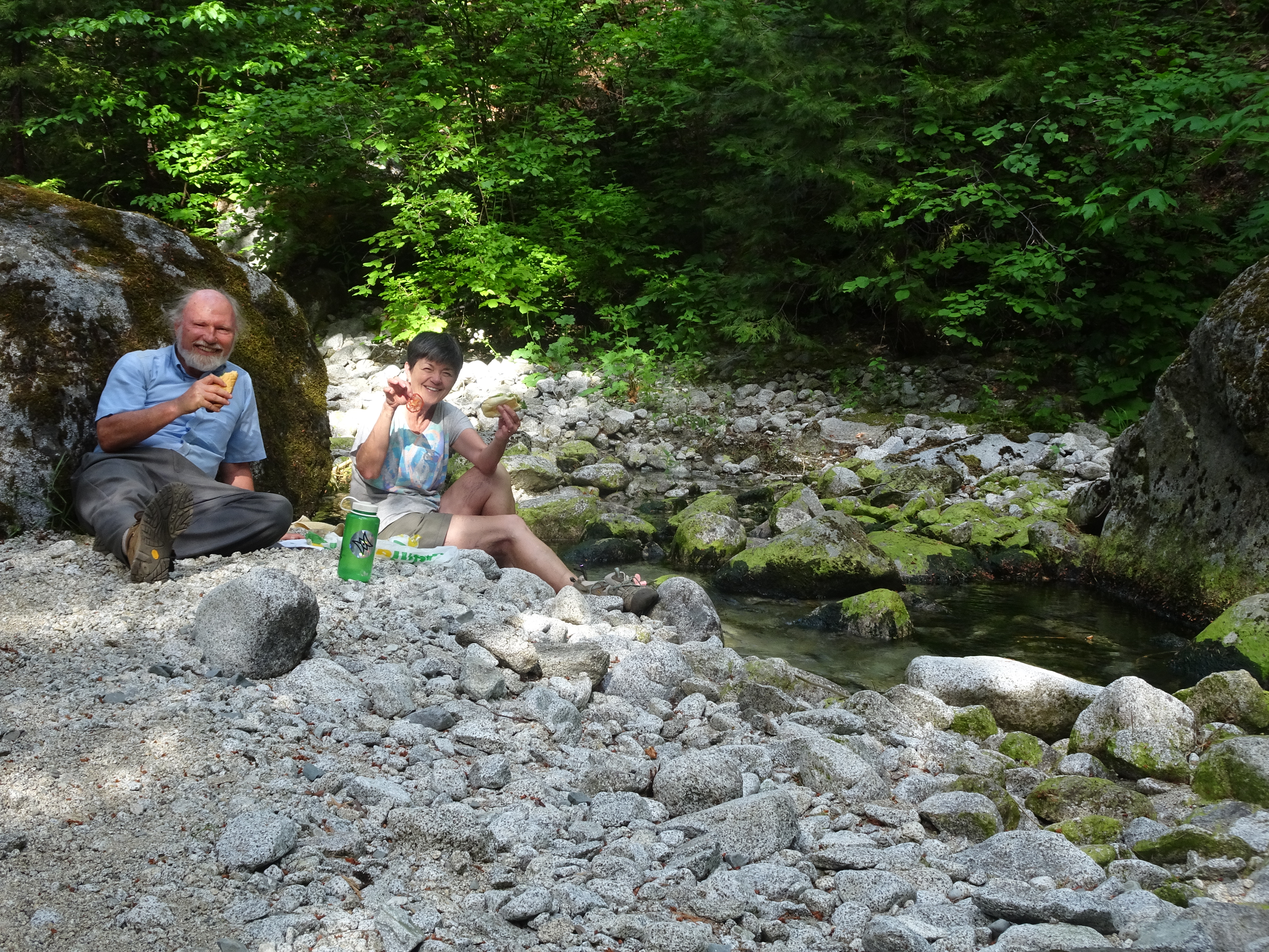
| As we drove to the Trinity Alps from Santa Rosa, we stopped in Weaverville, where we got our wilderness permit and our Subway veggie sandwiches, which would be our dinner in the evening.
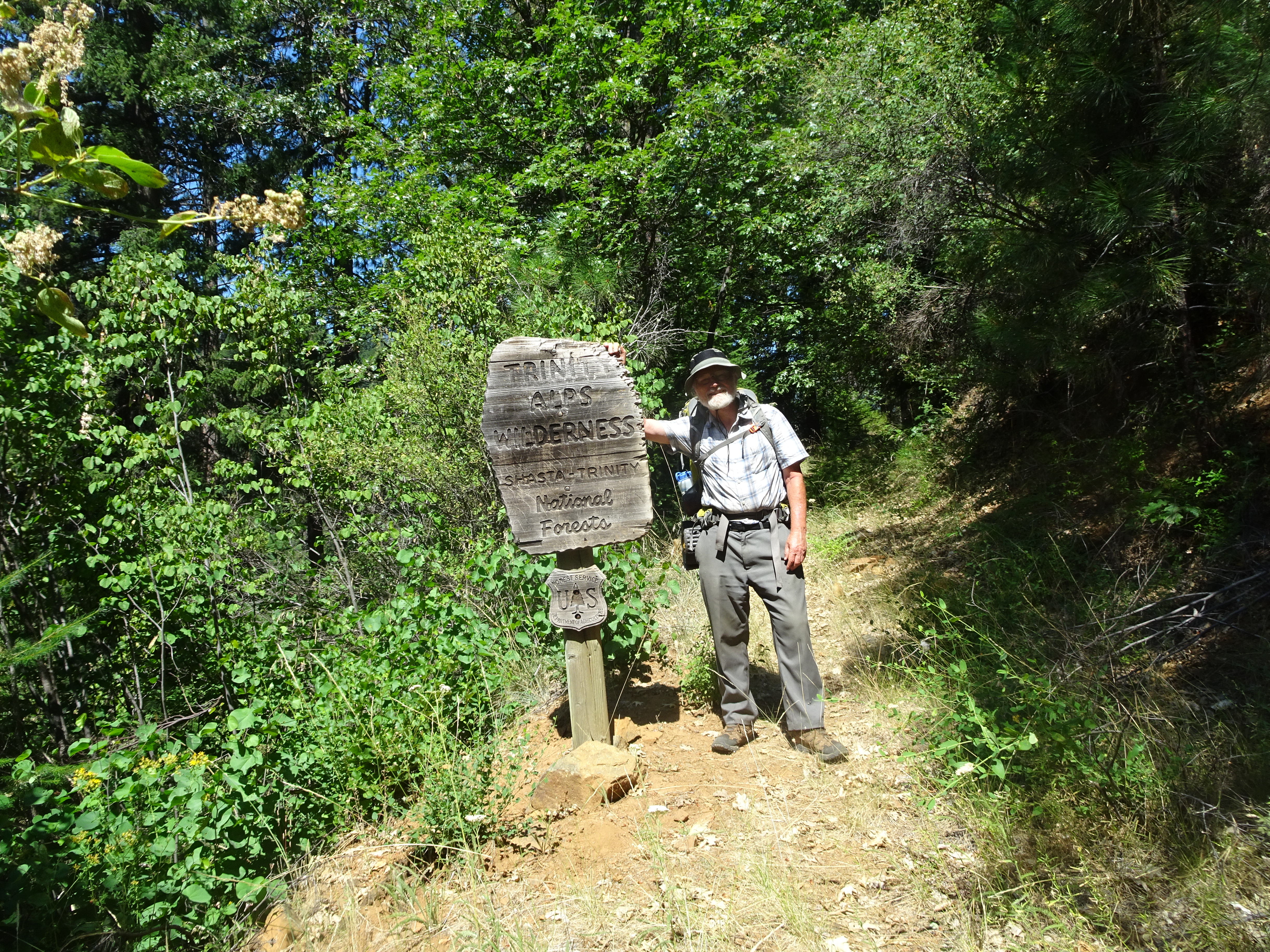
At the Canyon Creek Trailhead the parking lot was almost full, but since it was Sunday afternoon, people were leaving in great numbers and we found a parking space. We took a brief walk up to the entry signs for the trail and found there were two warnings posted:
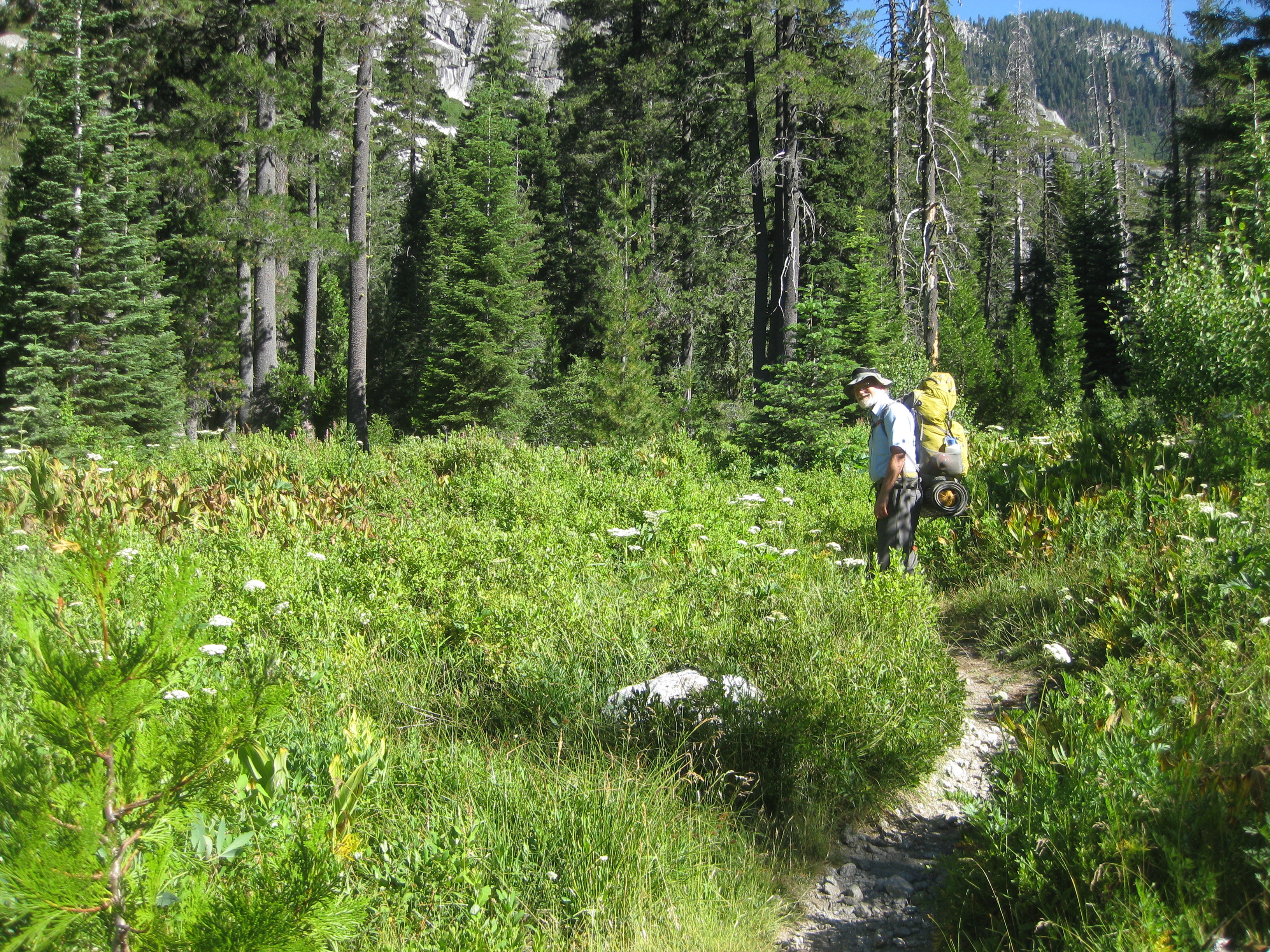
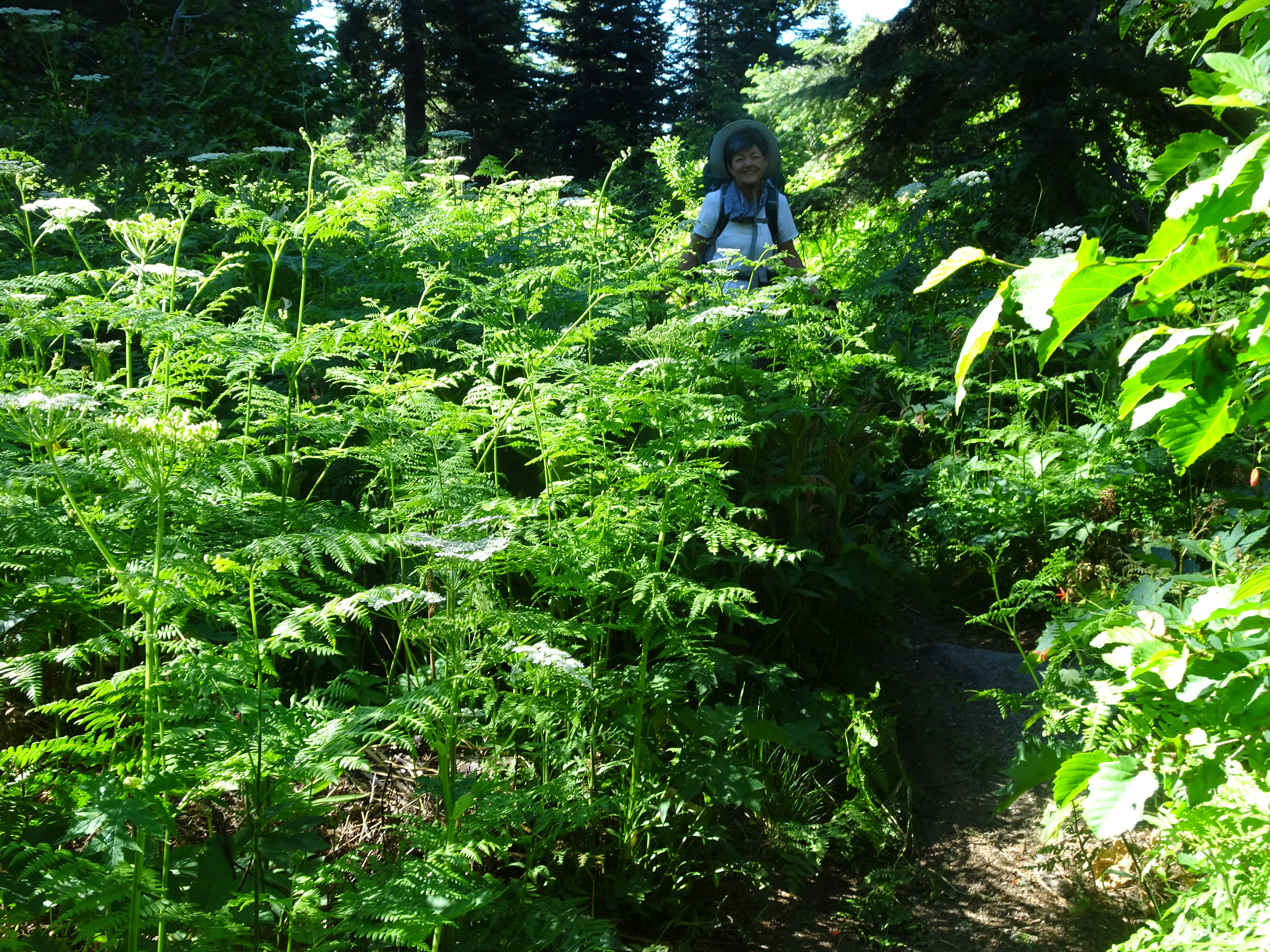
We then returned to the car, finished loading the backpacks and leaving food in a bear canister in the car for the second part of our trip up the East Fork Lakes trail. Bob made an egregious mistake in packing that canister and put all of the fruit Reenie had dehydrated in it, so the only dehydrated fruit for this first part of the trip was store bought. However, there was plenty of food in spite of that and the second half of the trip was great for dehydrated fruit. There were even plenty of store-bought dried blueberries for the second half of the trip because Reenie urged Bob to leave some of that heavy fruit for that part of the trip. And then the backpacking trip began! On a beautiful, well-maintained trail through the woods. We did pass many people, perhaps 30 or more, most of them leaving the wilderness. |
 |
 |
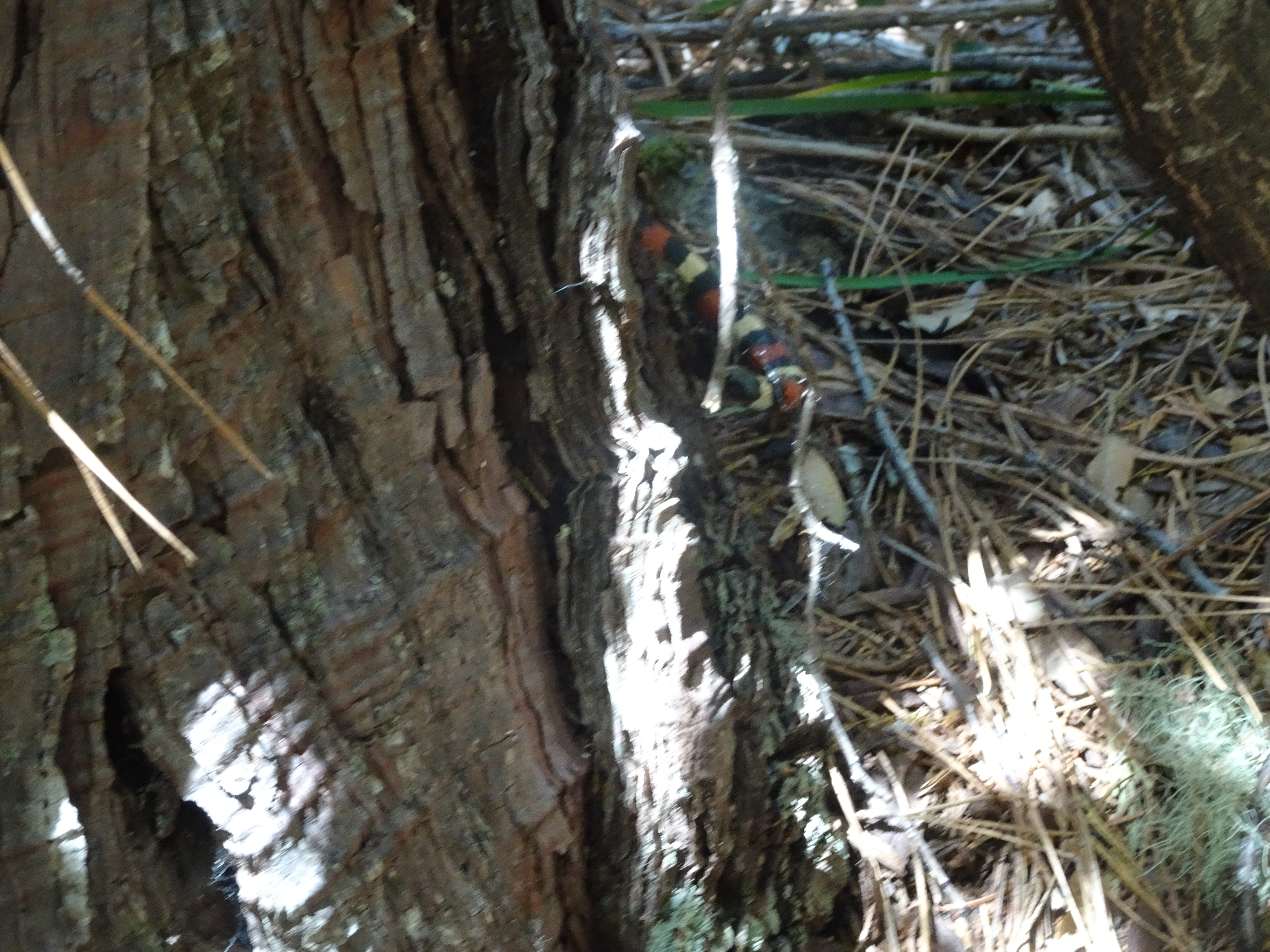
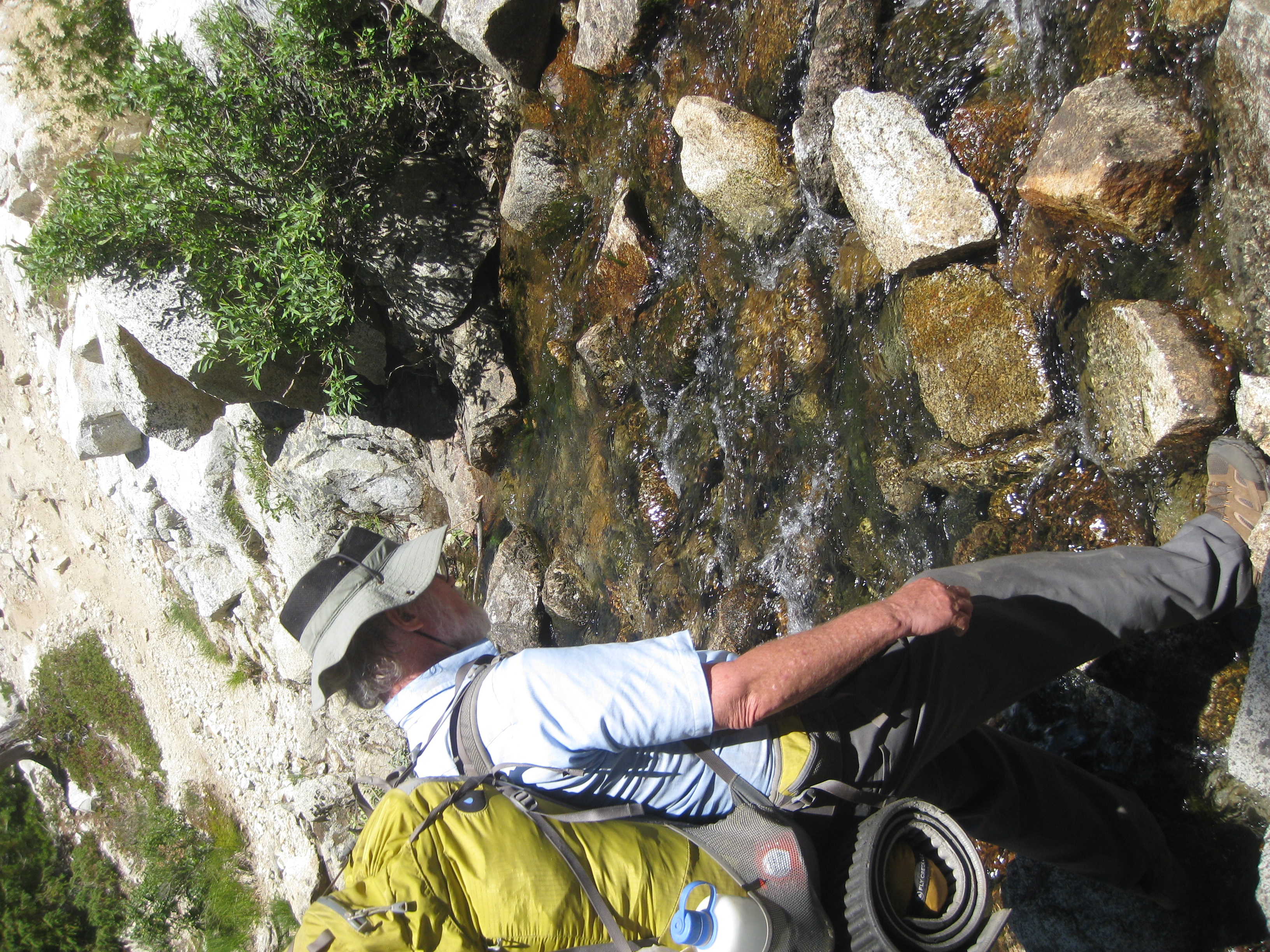
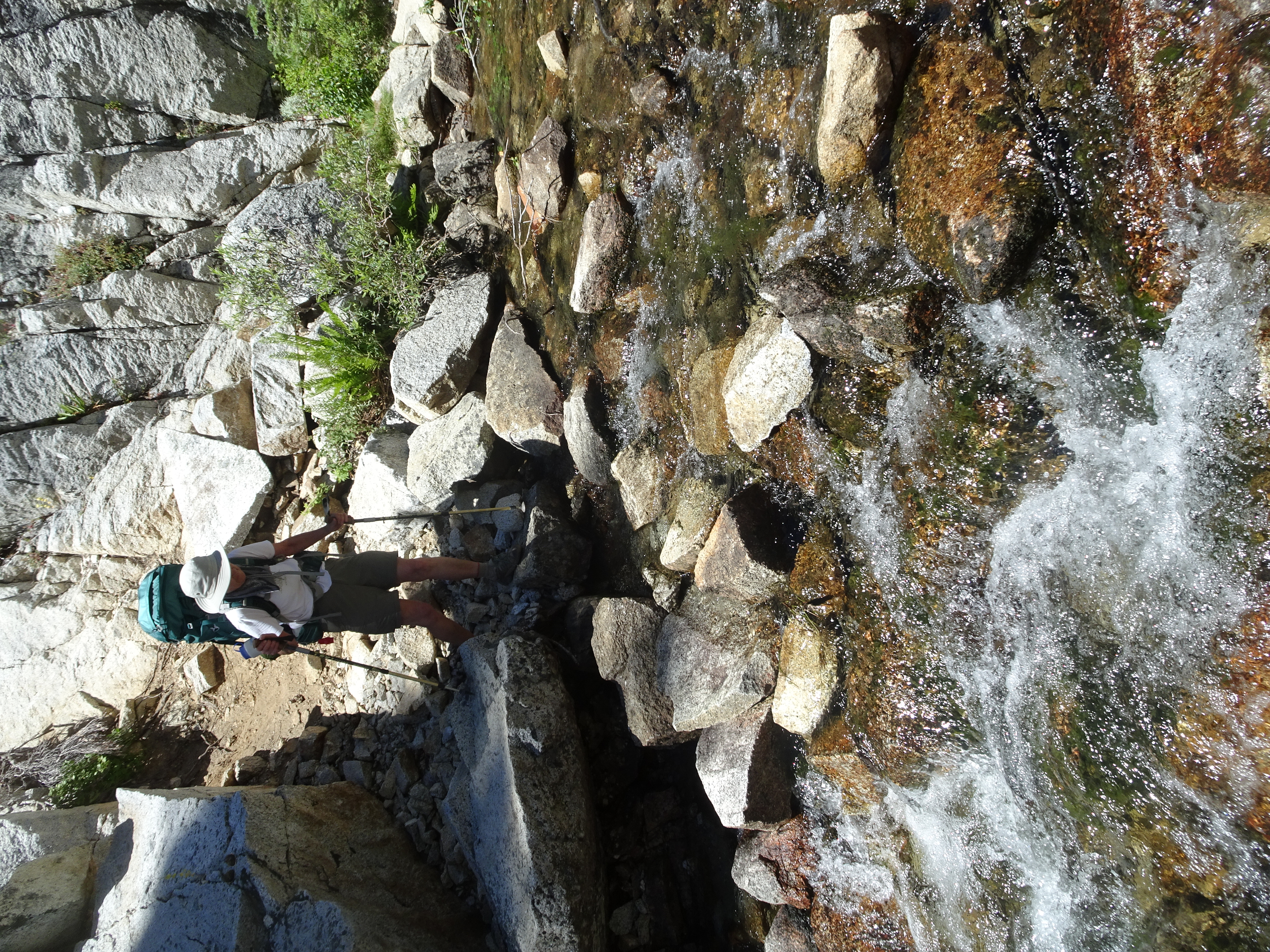
We passed several colorful madrone trees as shown below, and also a beautiful King Snake crossed our path, as can also be seen in the video listed above for this day. The hike included crossing a couple of streams before we reached our destination at the Sinks. One such crossing is also shown in a video above.
 |
 |
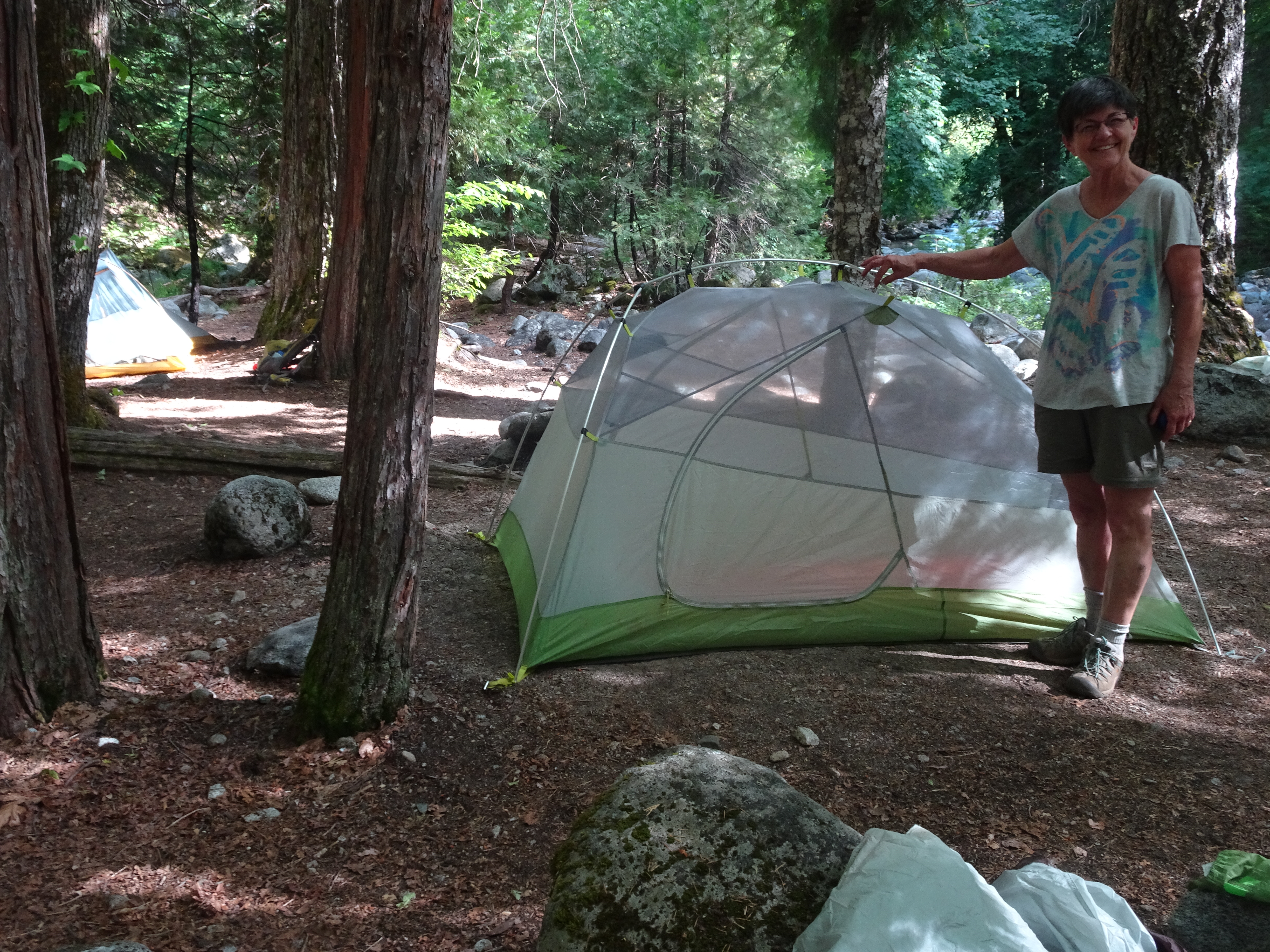
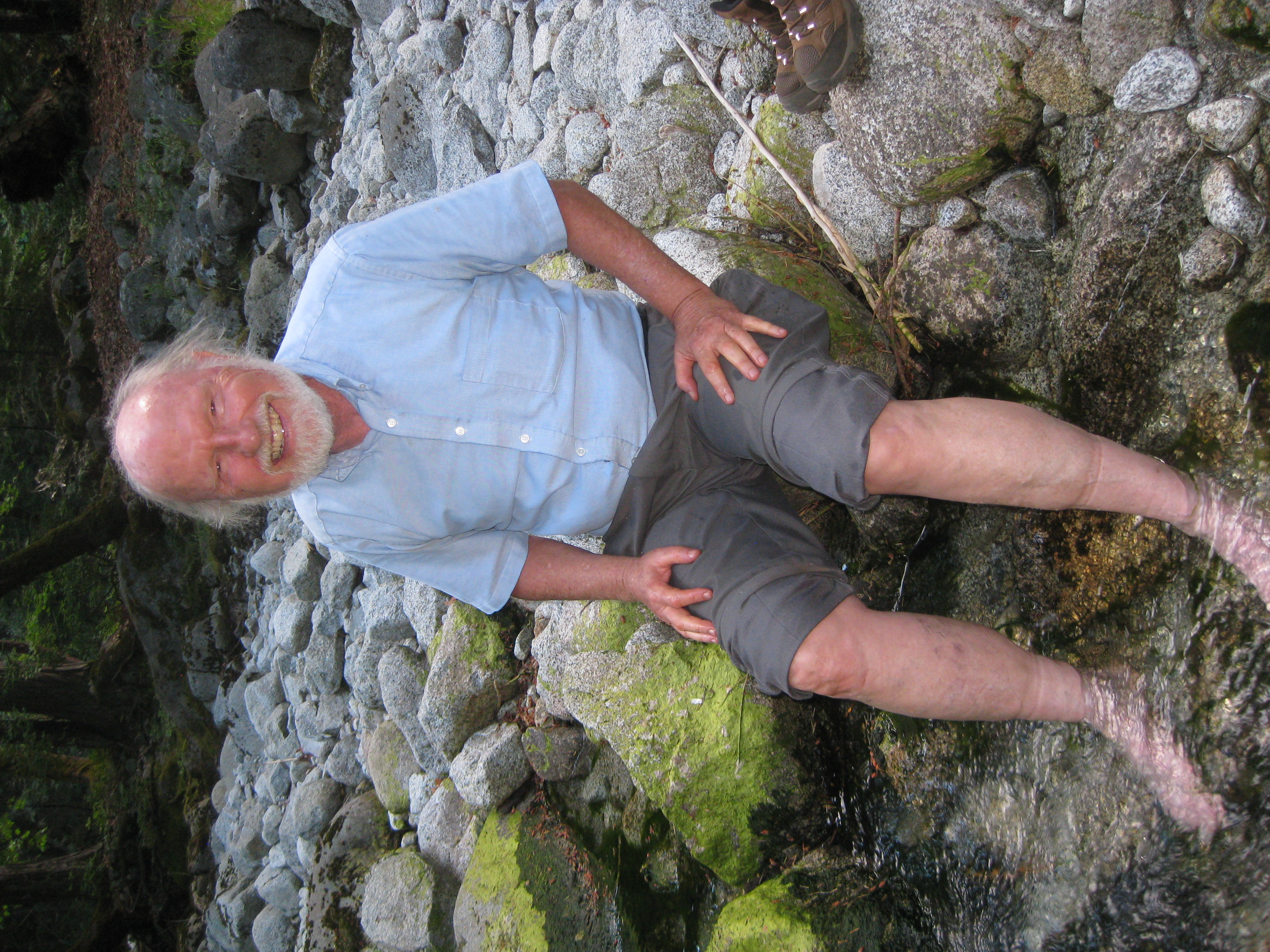
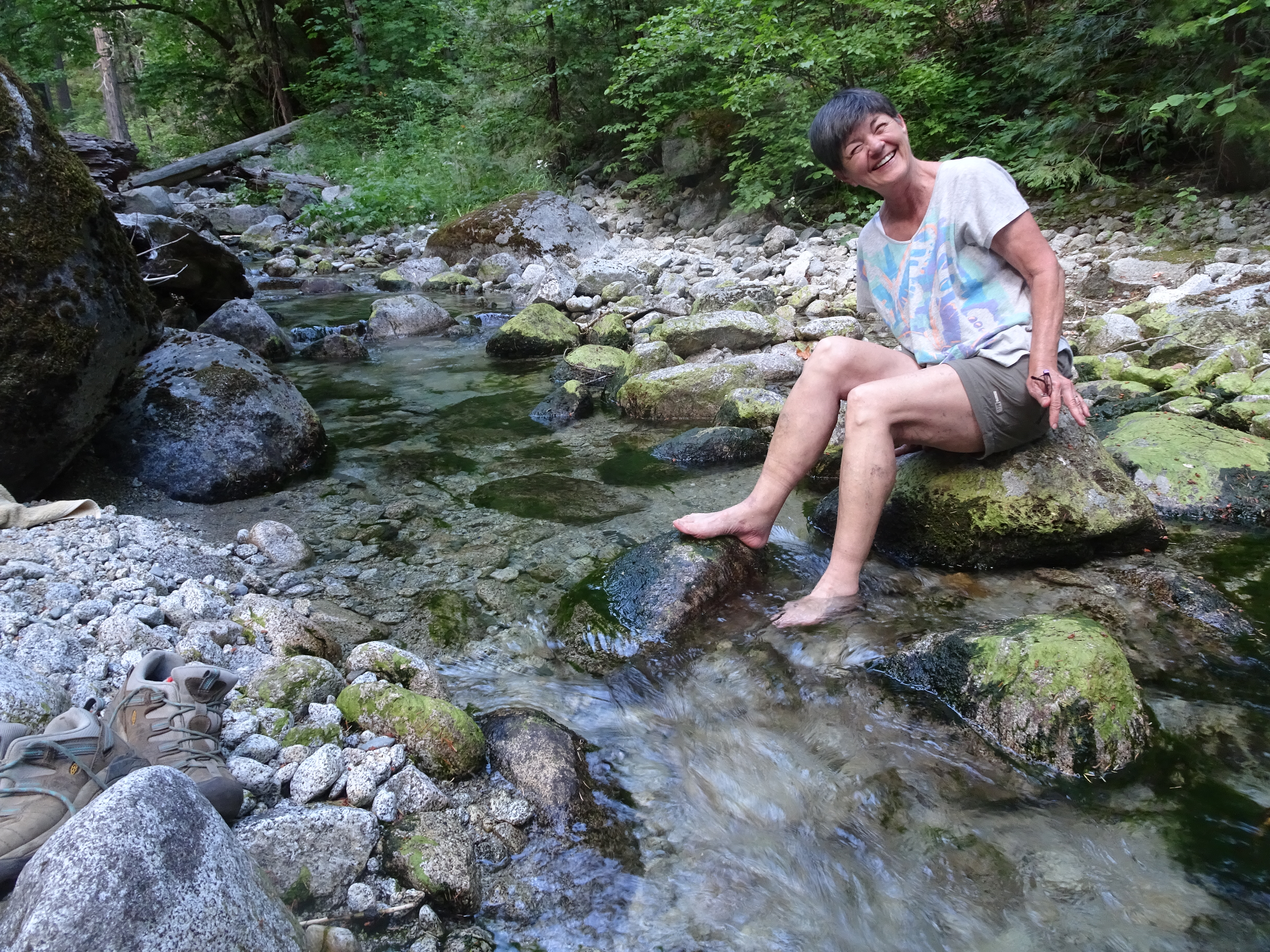
We arrived at the Sinks camping area and pretty much had it to ourselves. It is beautiful and pleasant. We set up our tents, ate our Subway sandwiches sitting next to the stream, then tried putting our feet in the stream. The water was painfully cold!
 |
 |
 |
 |
 |
 |
We backpacked from the Sinks to the Boulder Creek junction camping area, about 3 miles, then day hiked up to Boulder Lake and back, another 4 miles. Scenery just keeps getting more spectacular.
Videos:
Backpack To Boulder Creek Elevation Profile:
 |
 |
Dinner: Saag Paneer from Everest Restaurant (which Reenie had dehydrated before the trip) along with re-hydrated white rice and salmon
Diary:
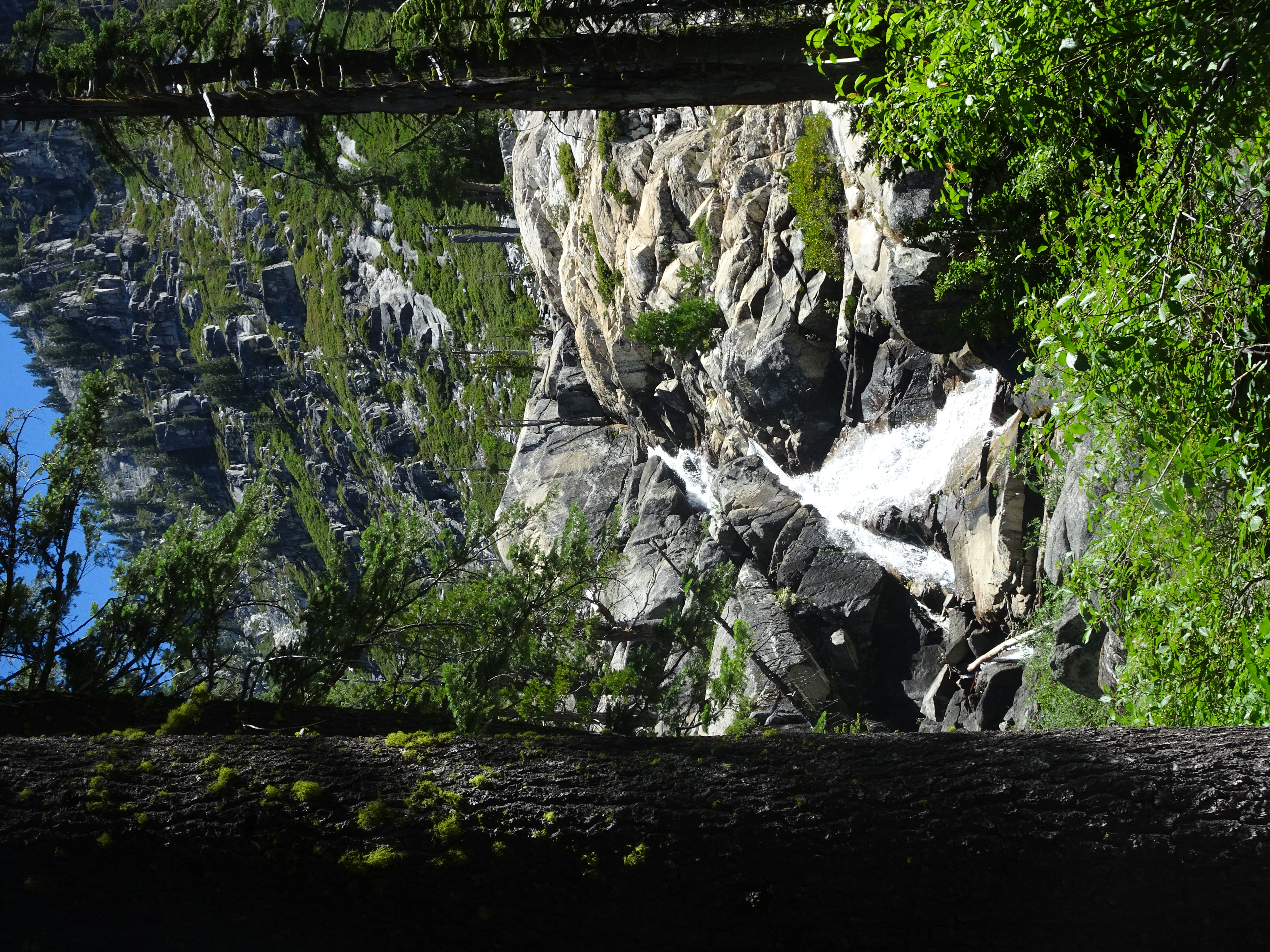
The trail from the Sinks to Boulder junction continued to be very well maintained. The trail was often near Canyon Creek and so it, and its falls and rapids, could be seen and heard. And the scenery just kept getting more beautiful as we climbed.
|
|
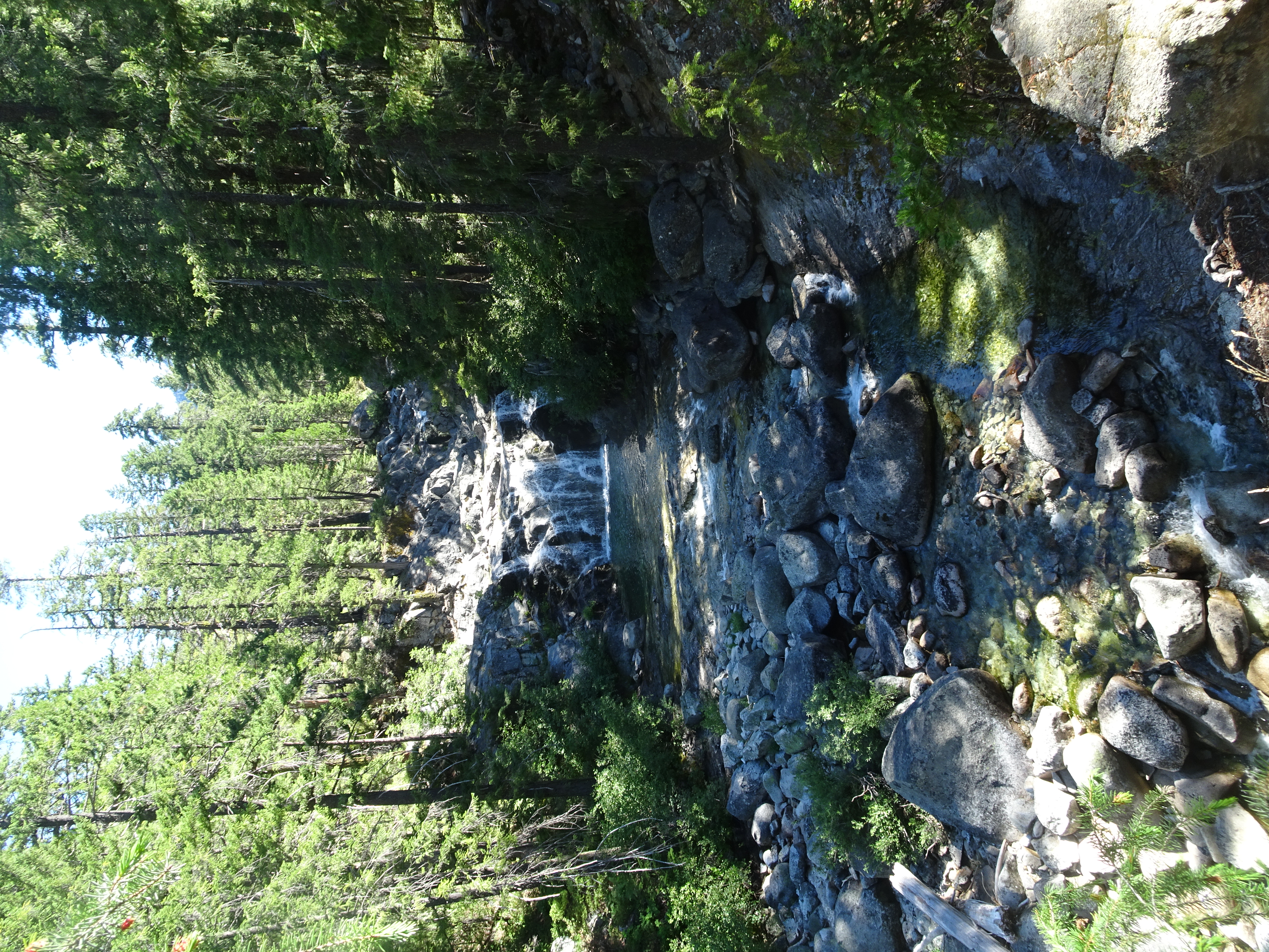 |
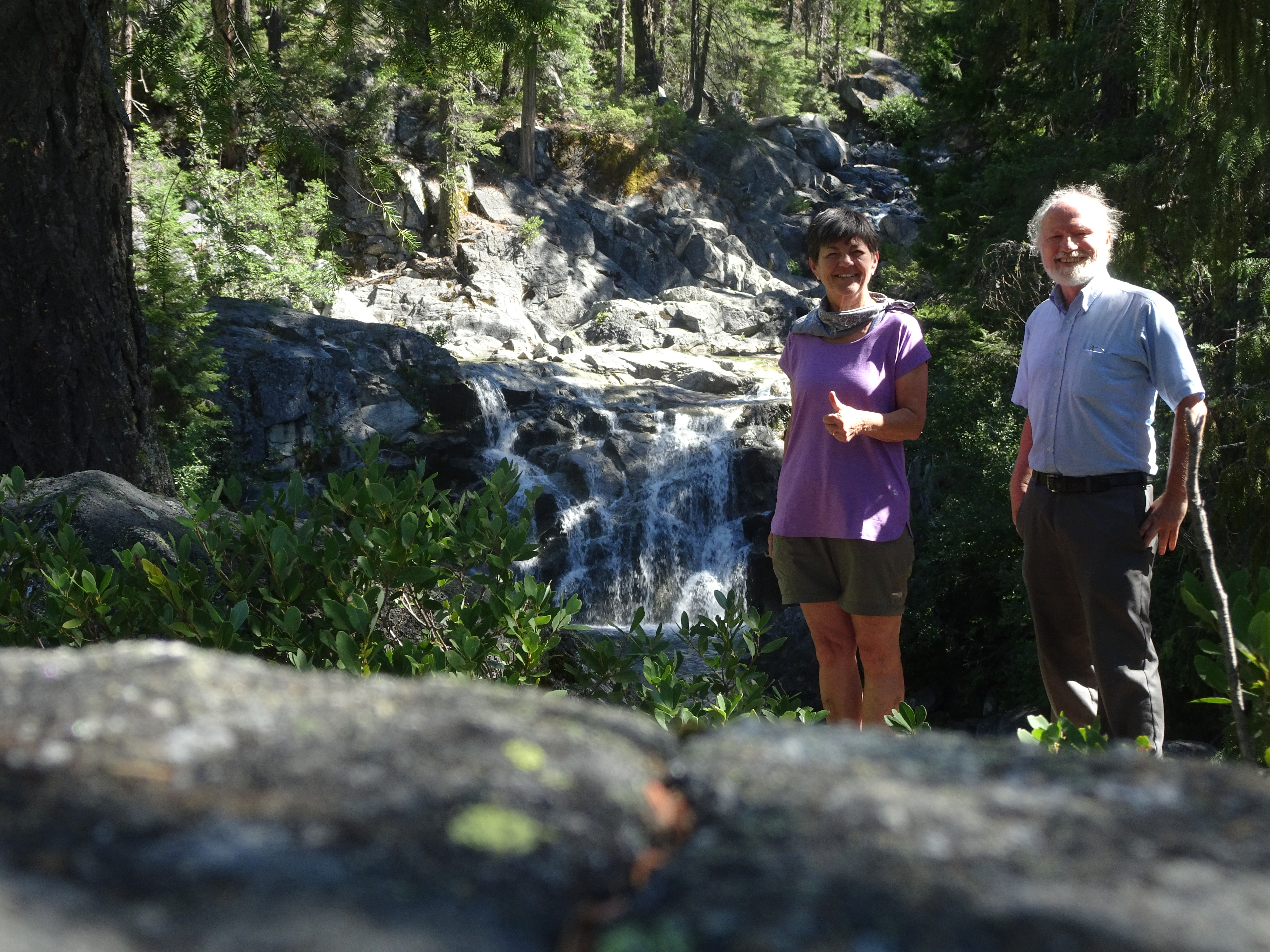 |
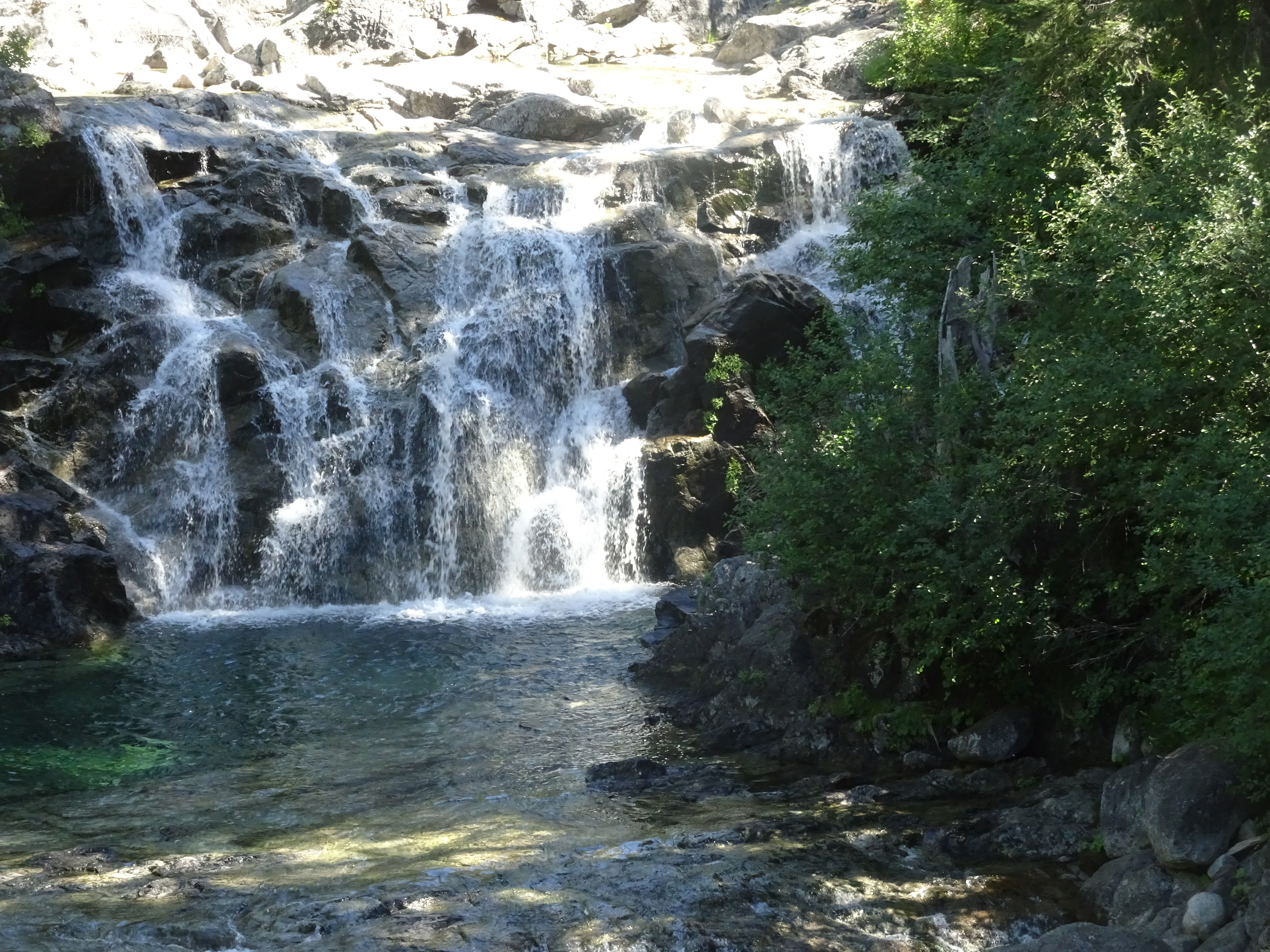 |
 |
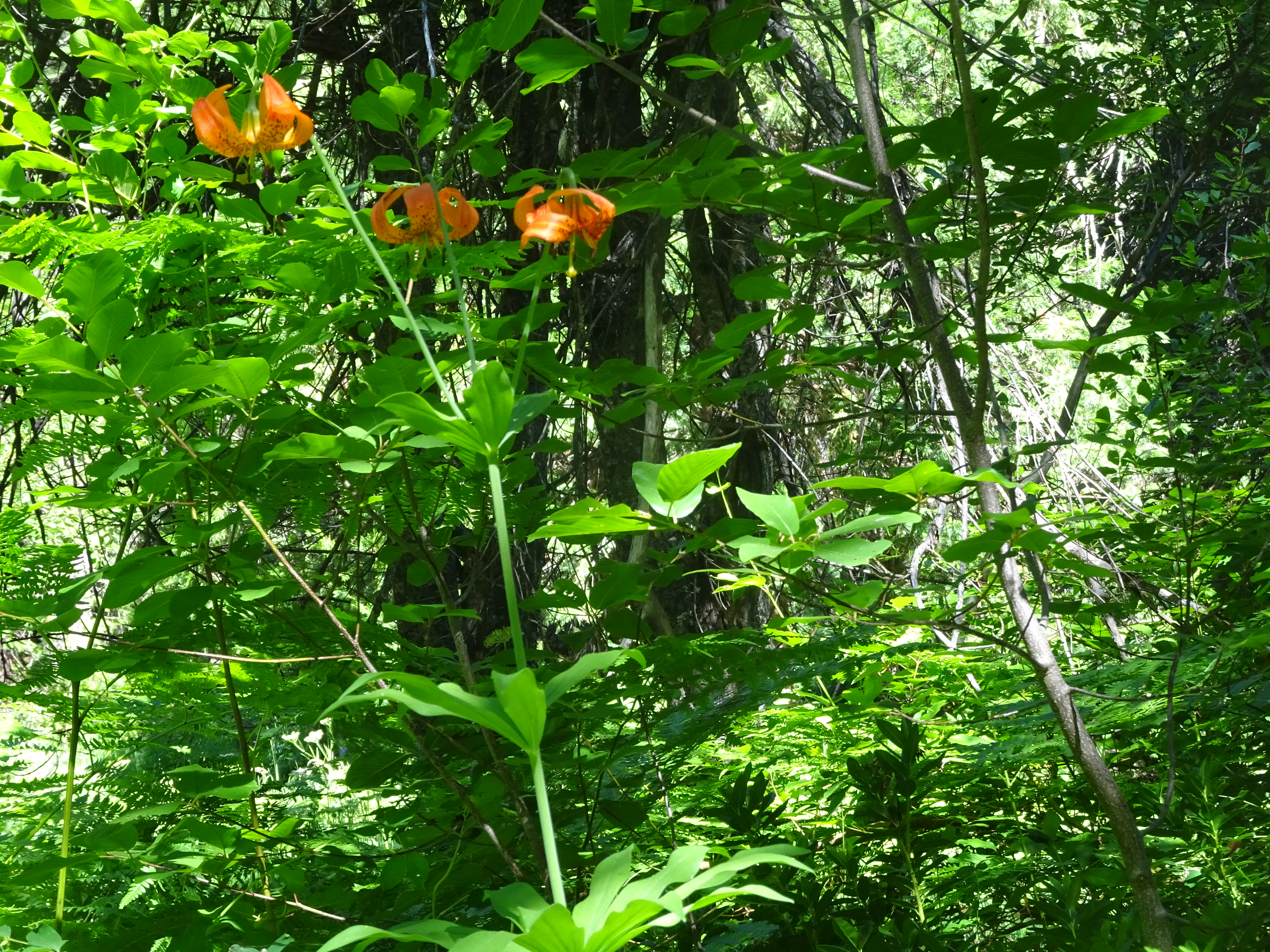
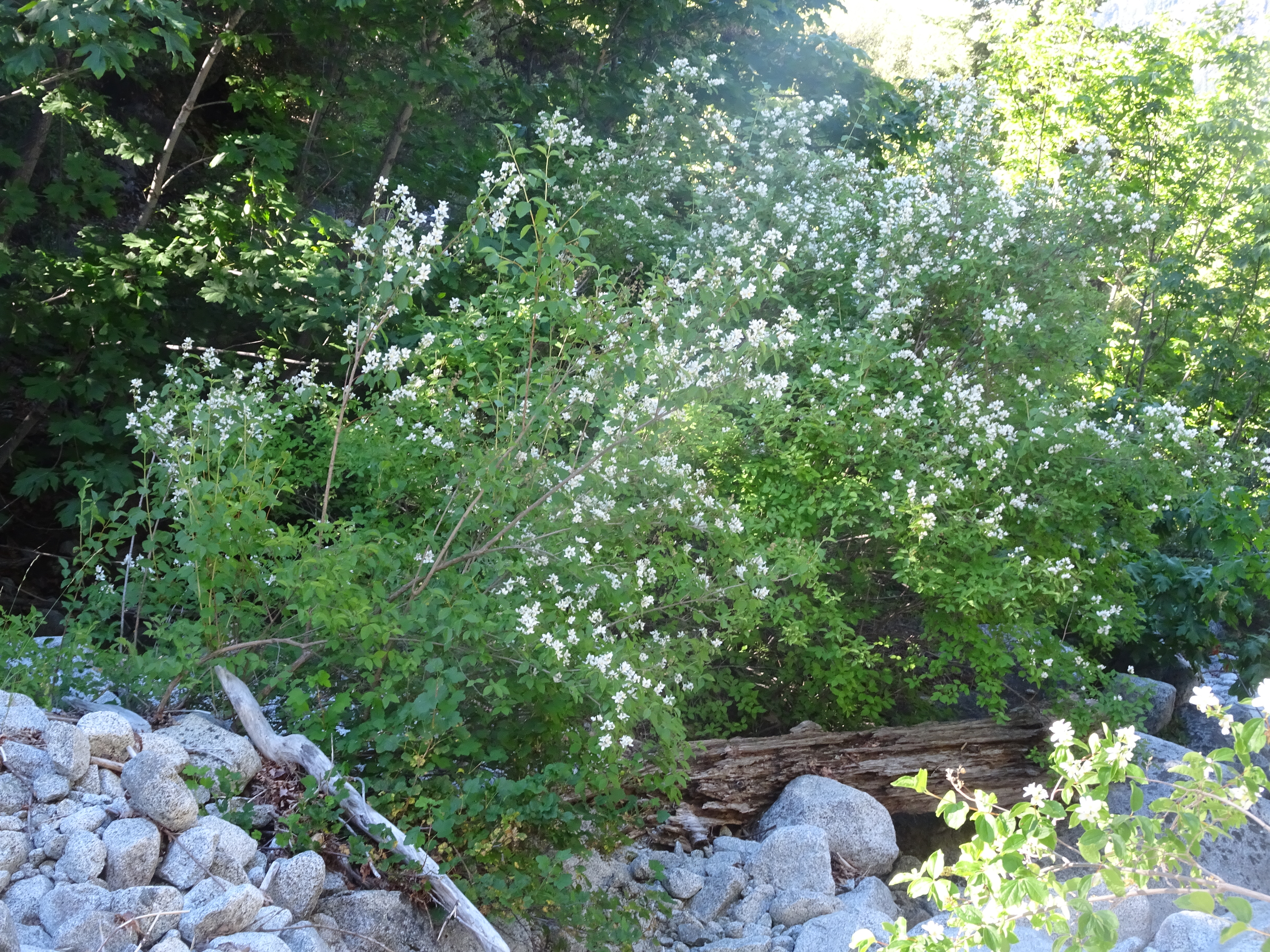
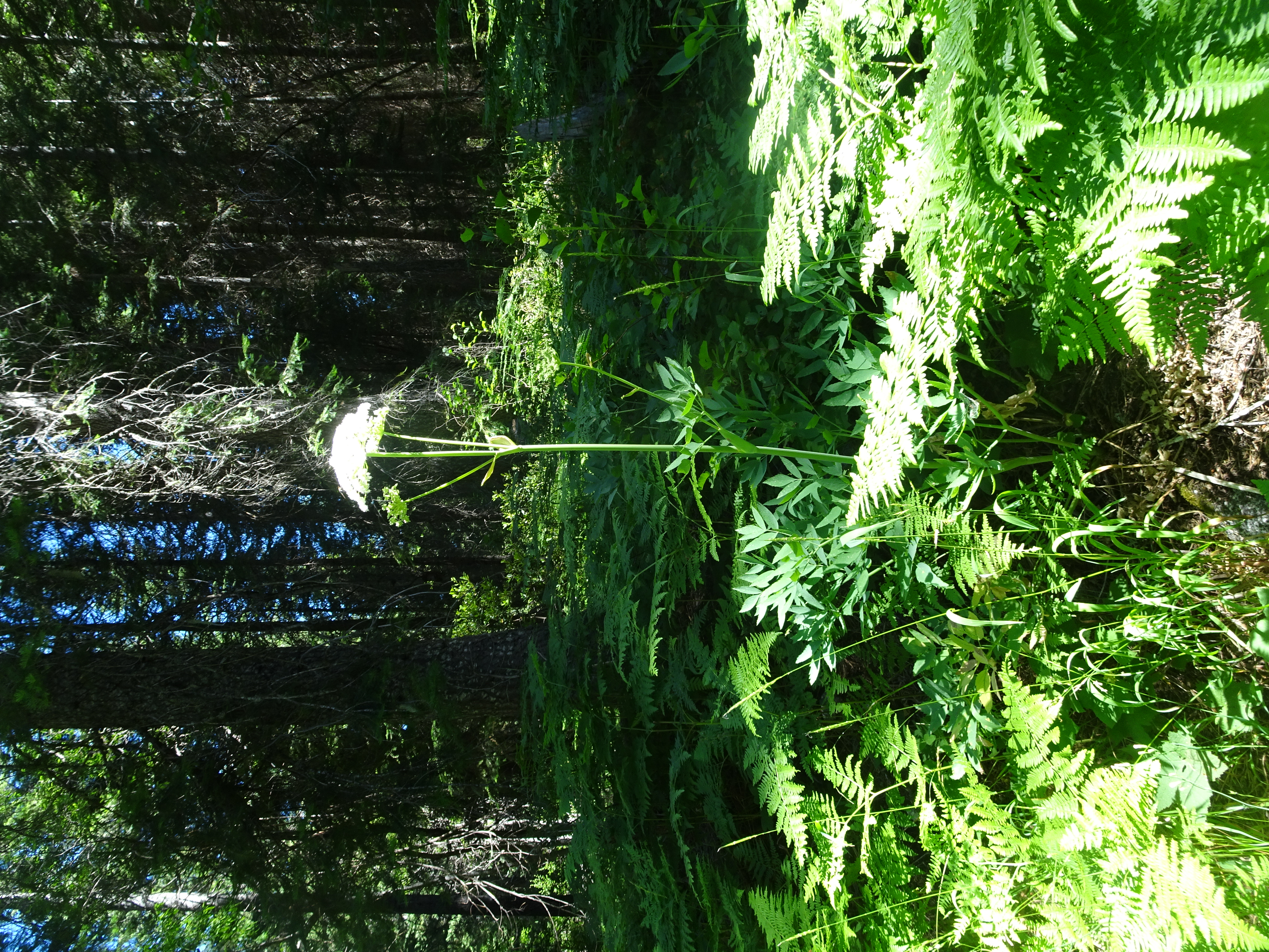
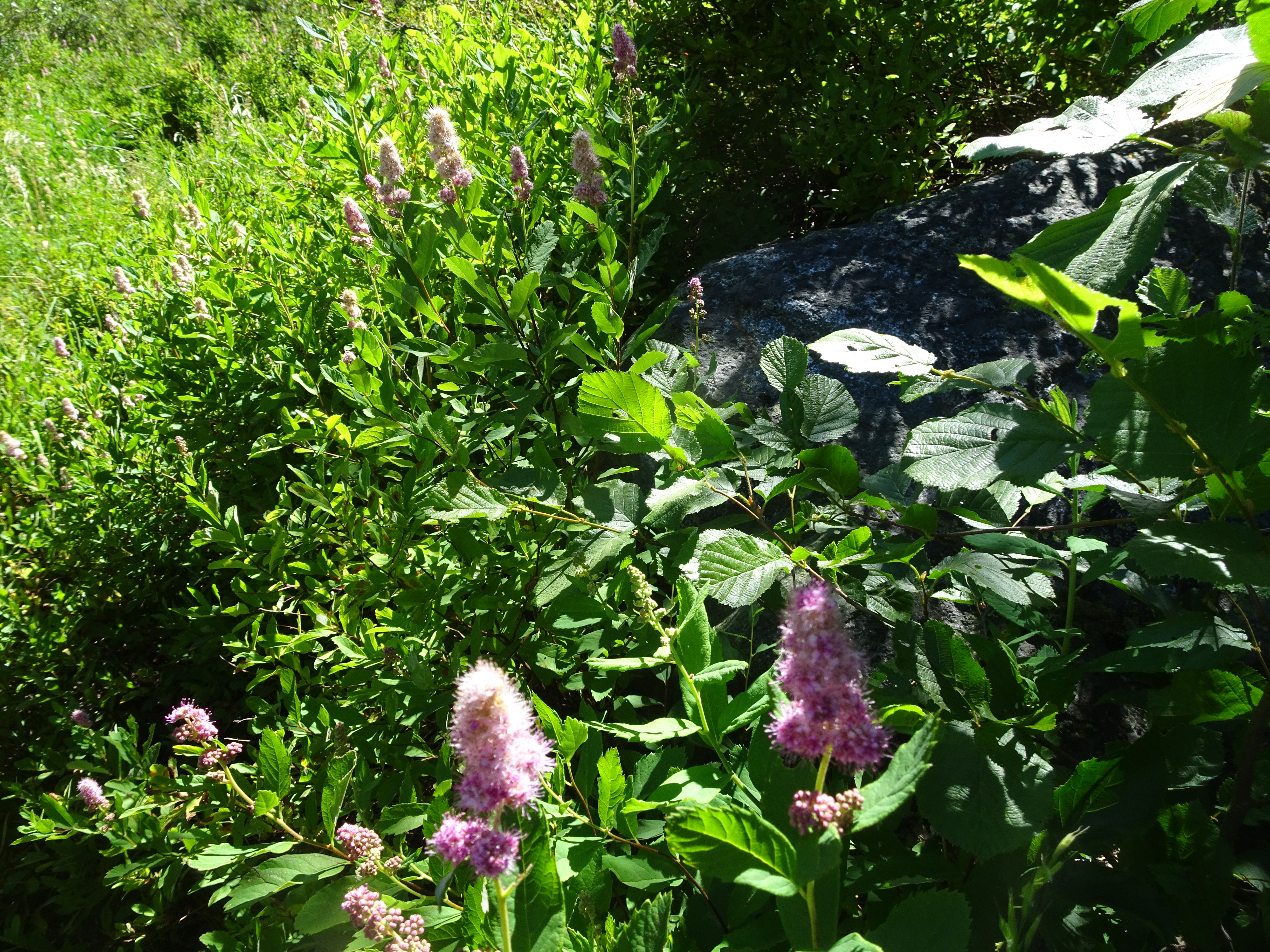
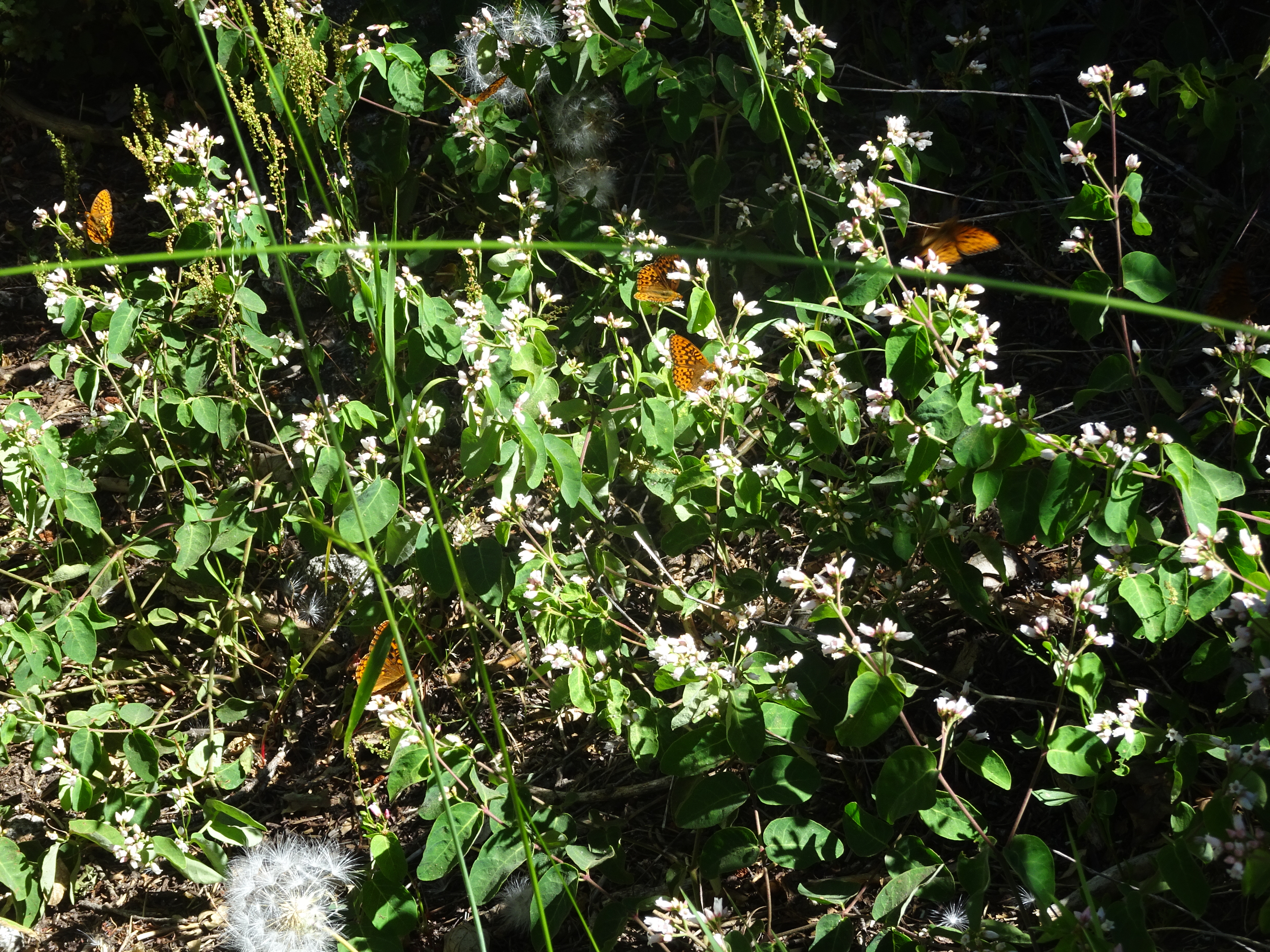
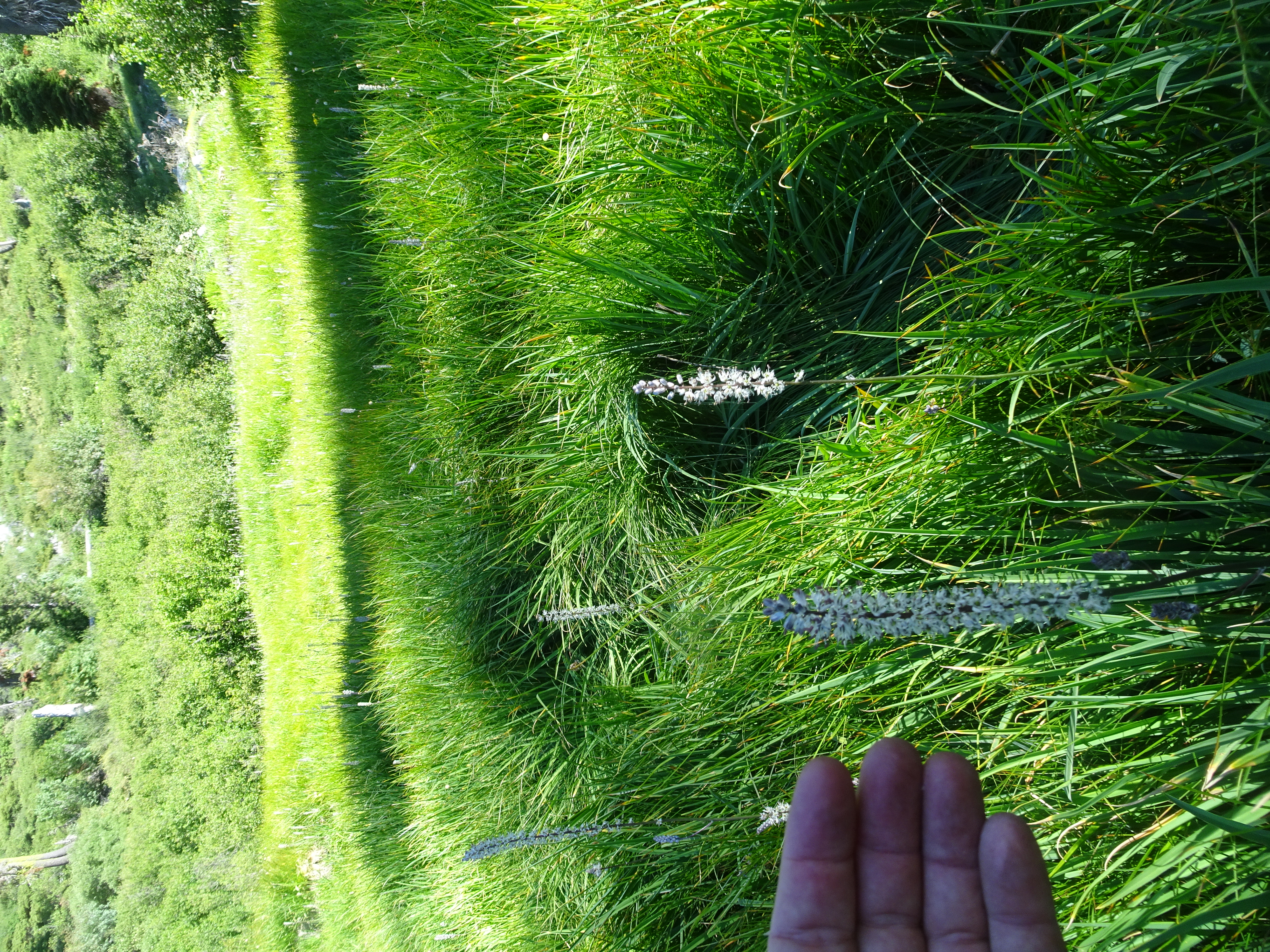
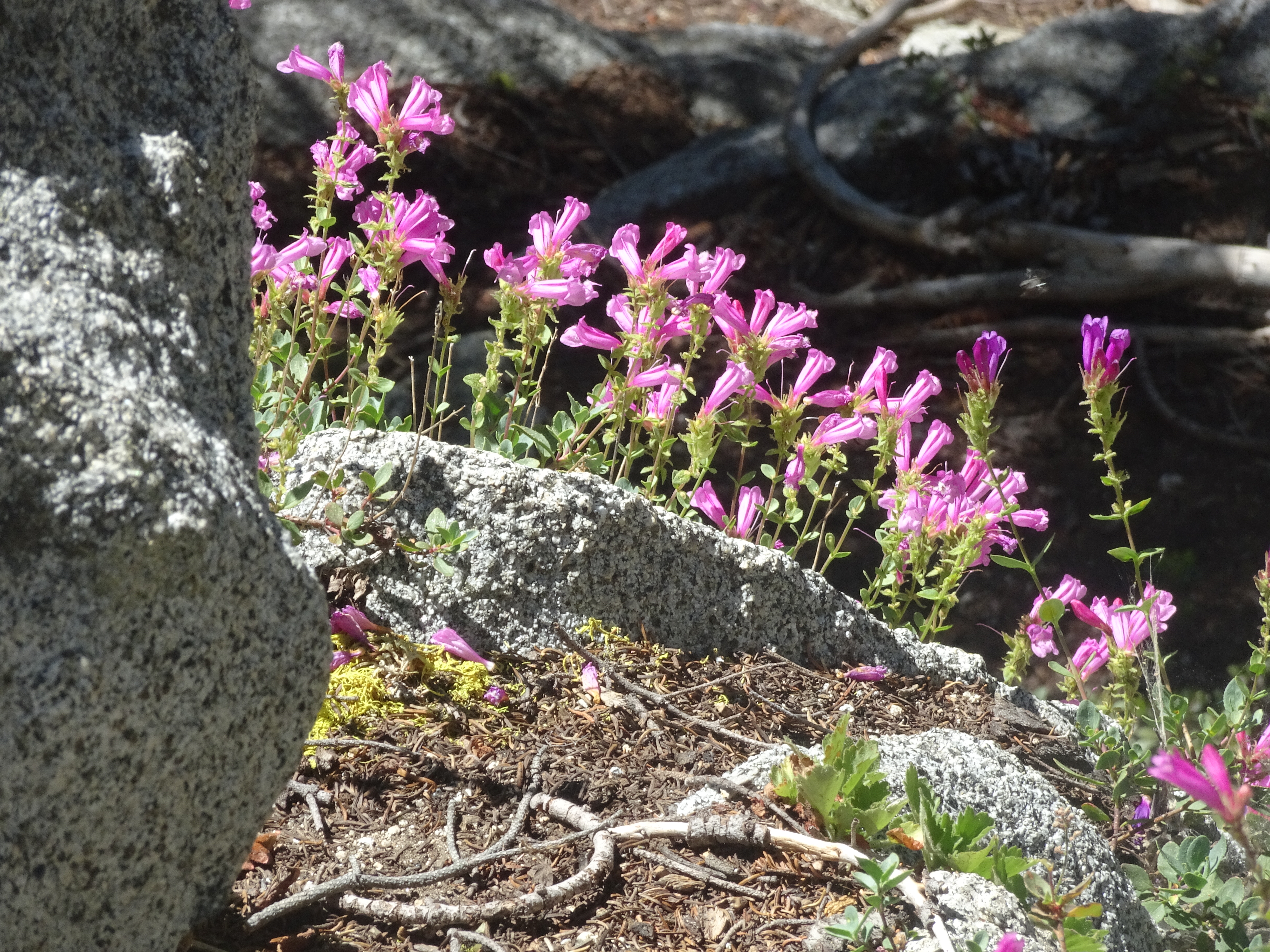
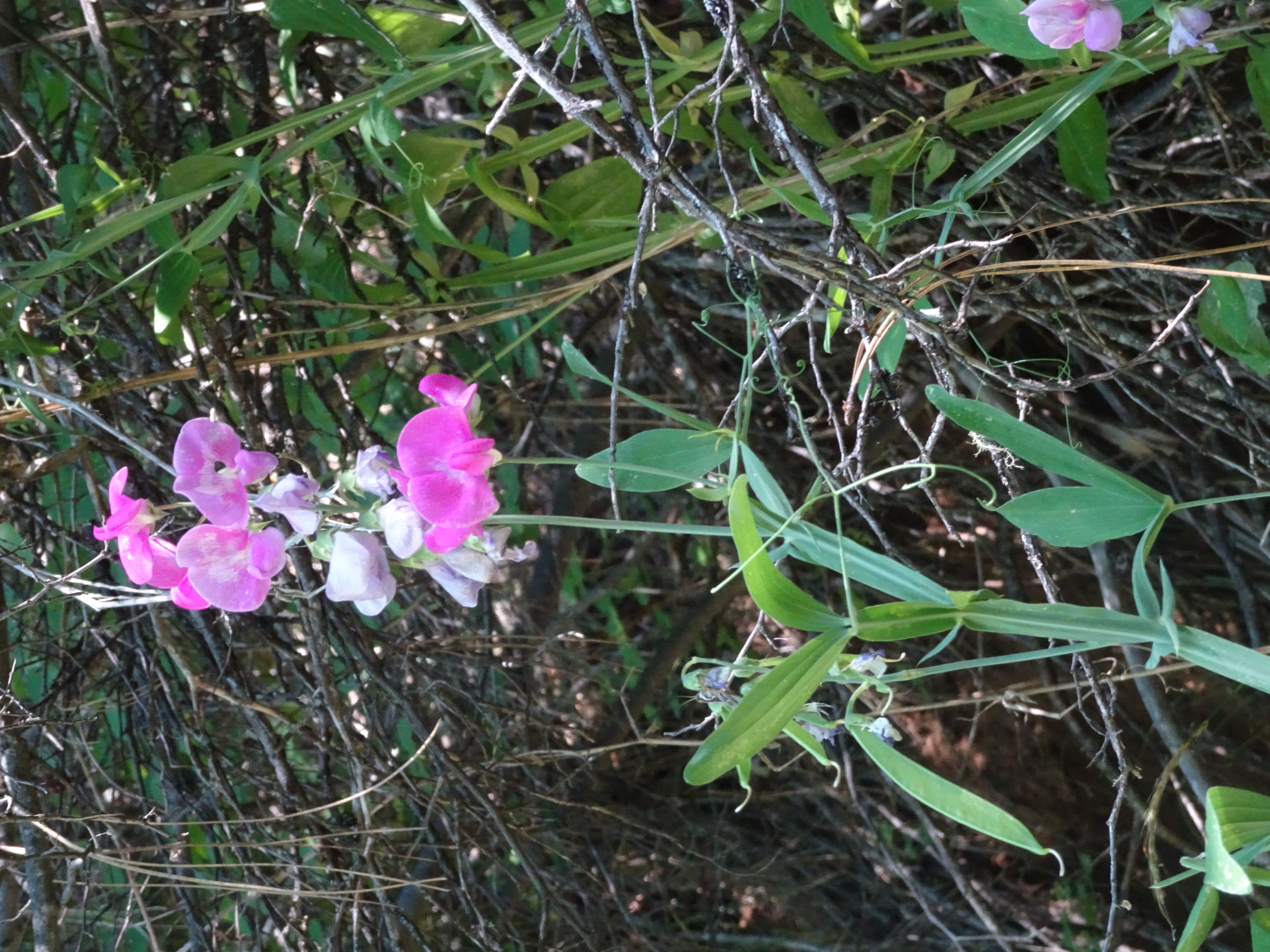
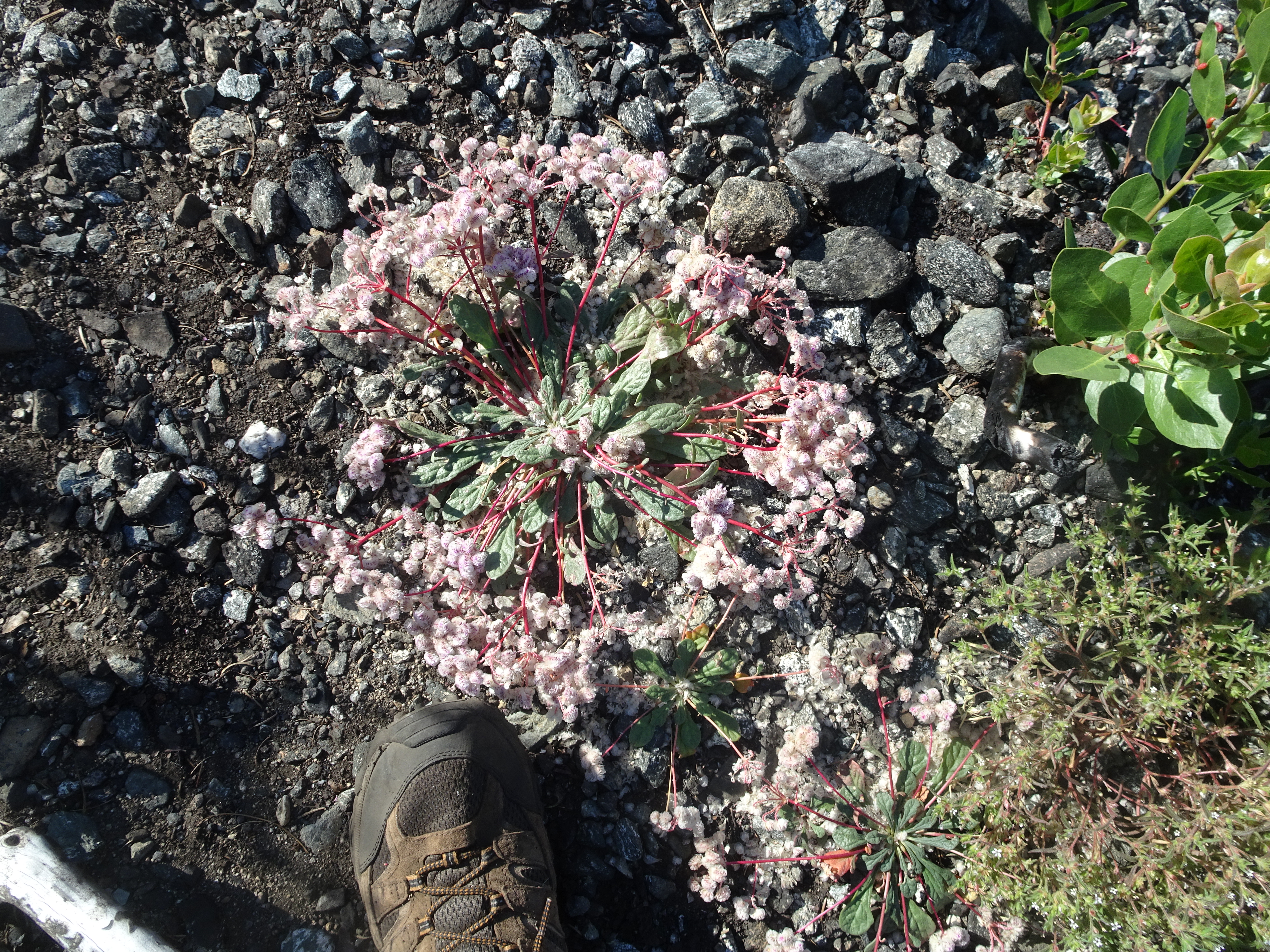
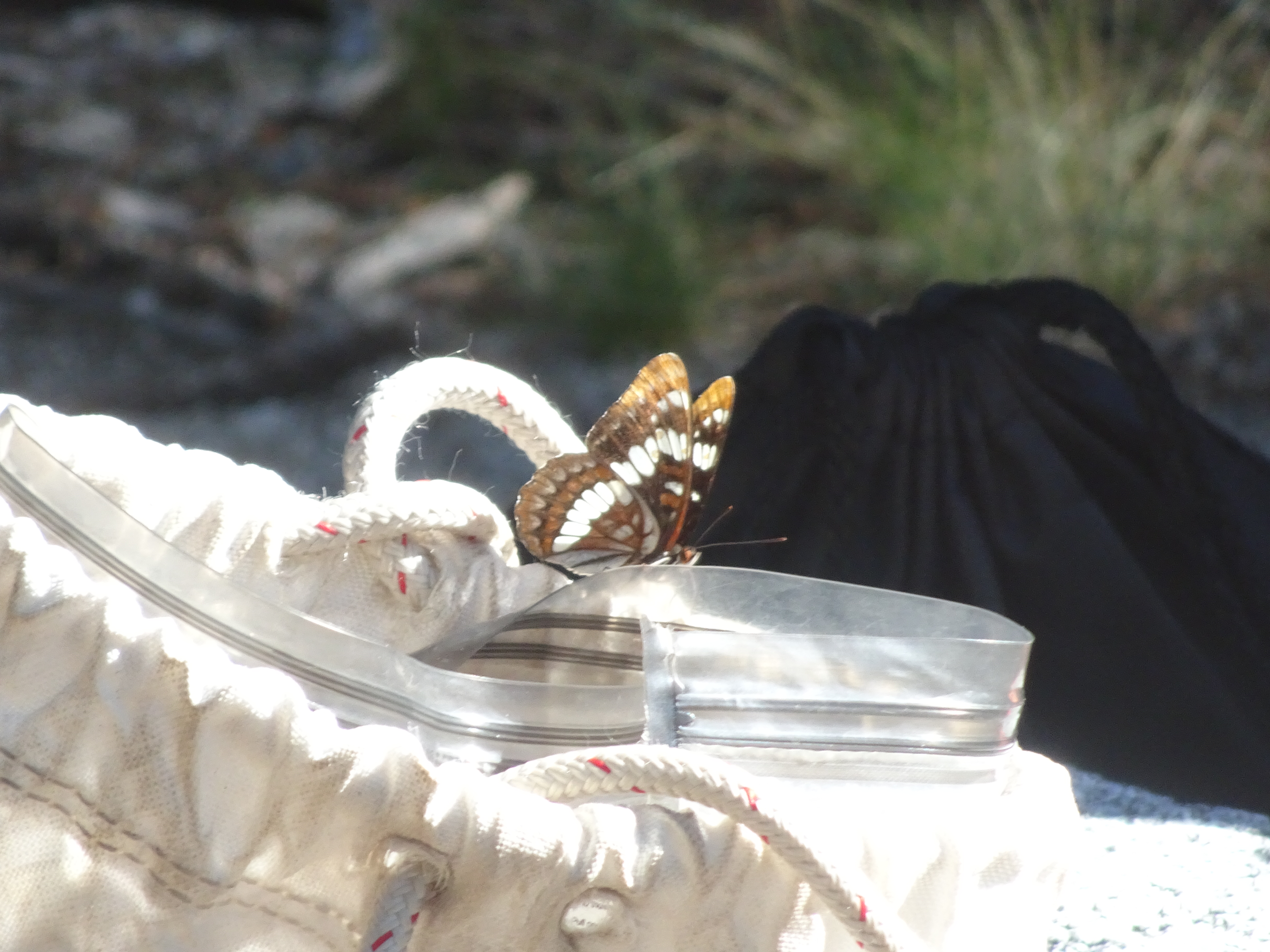
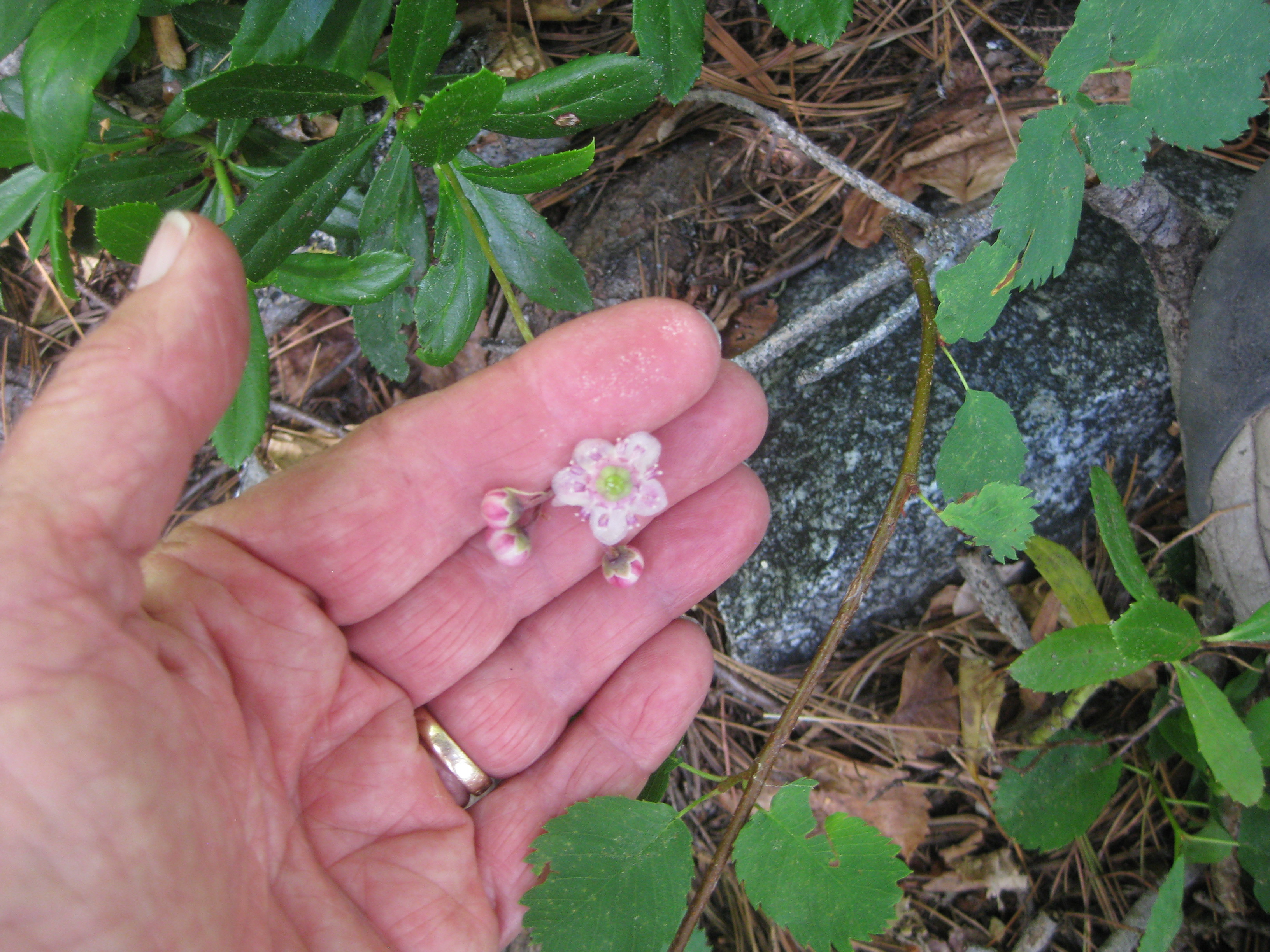
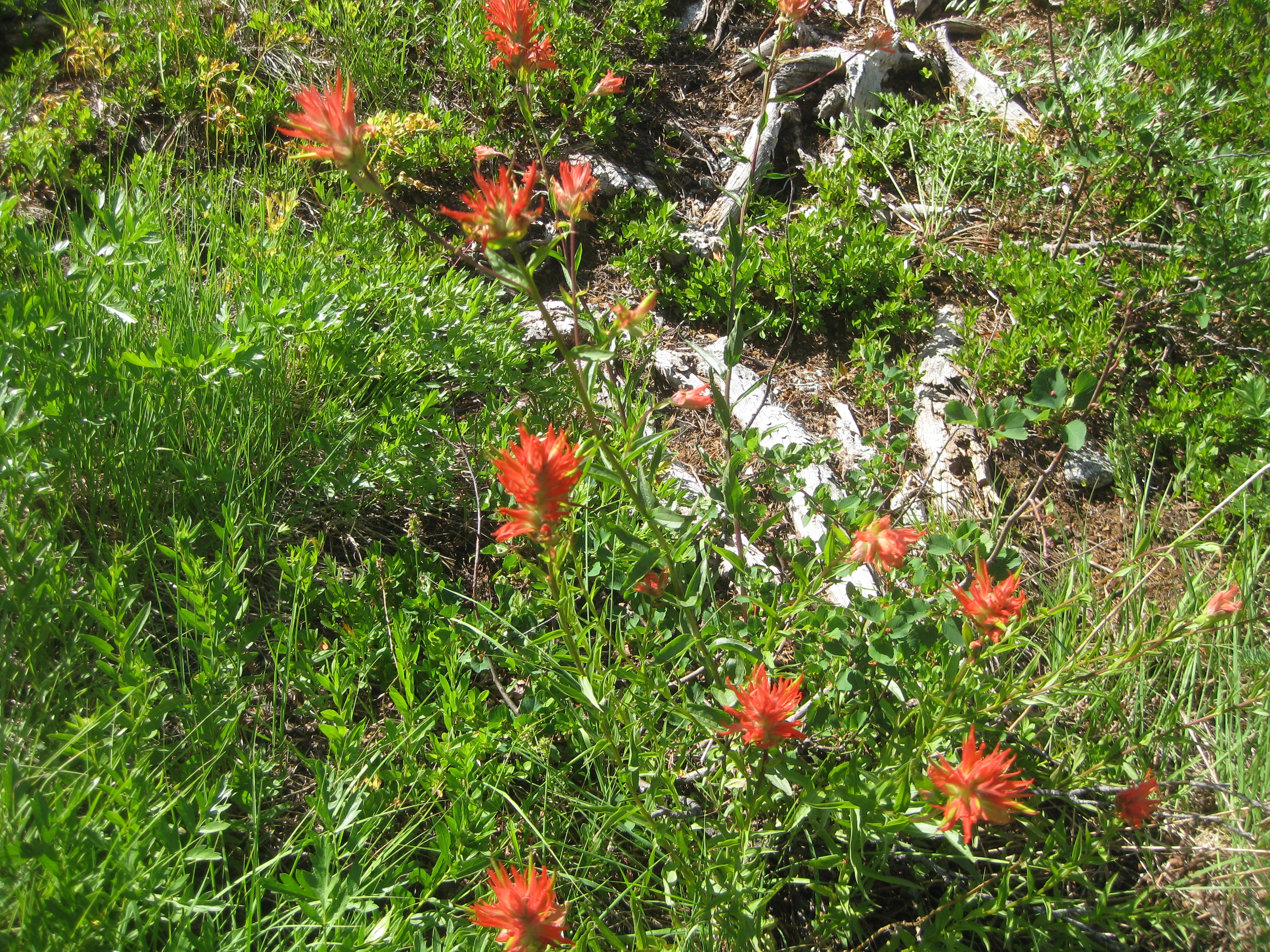
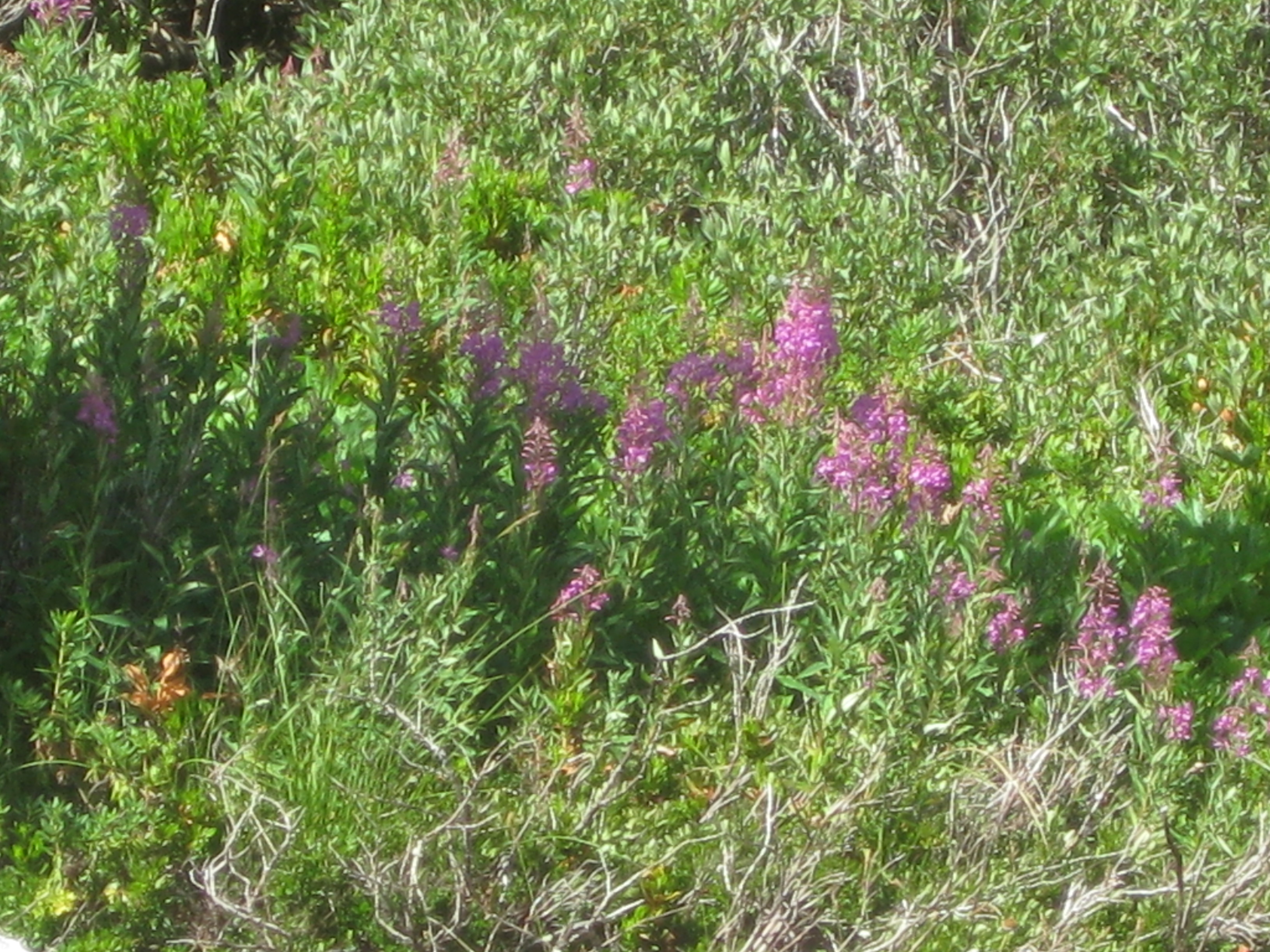
Throughout the trip we saw lots of flowers - springtime in the Trinity Alps. And lots of butterflies.
 |
 |
 |
 |
 |
 |
 |
 |
|
 |
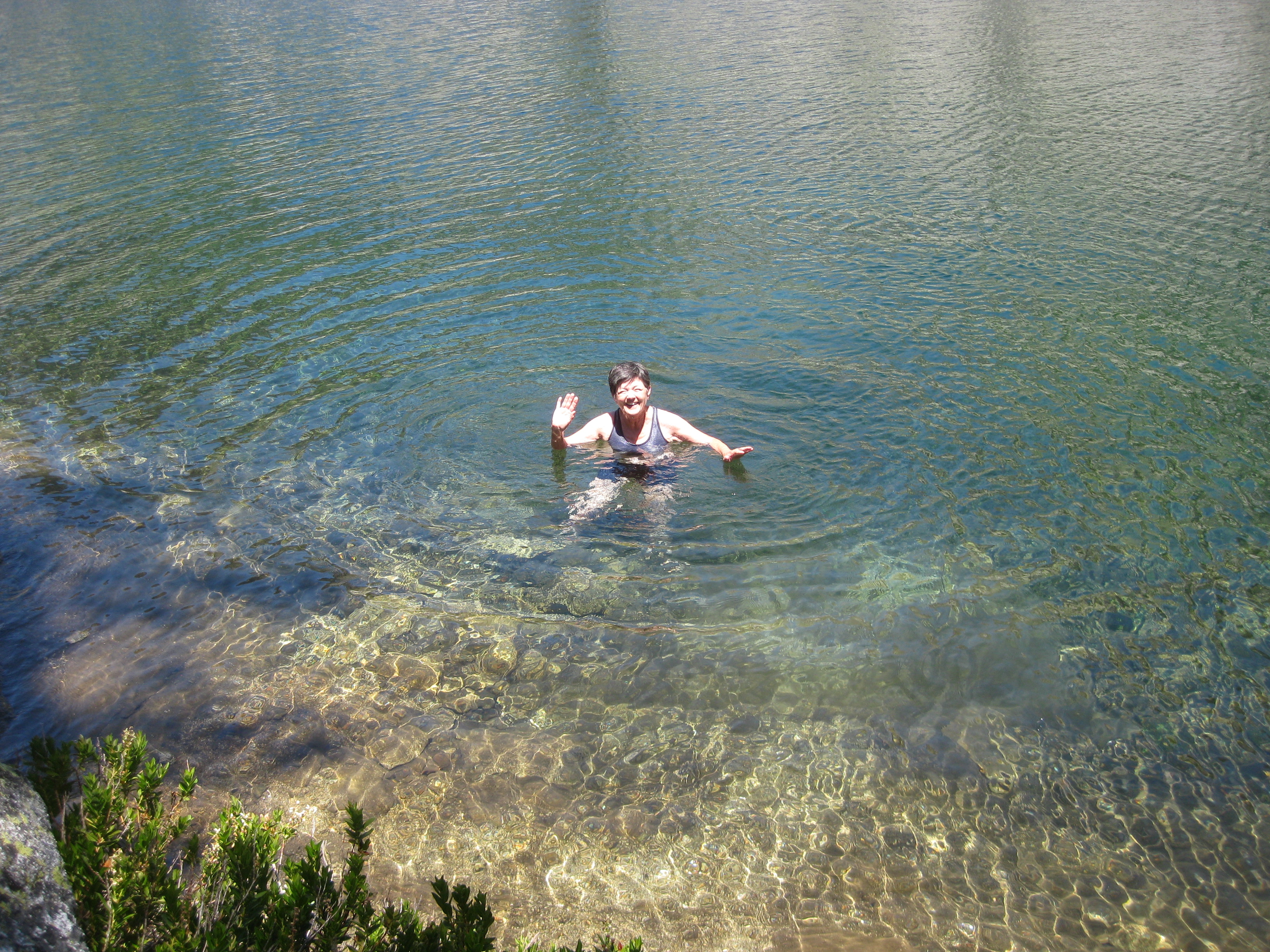
After reaching the Boulder Creek junction camping area, we found ourselves alone and claimed a nice campsite near the creek where we set up our tents and ate lunch. Around 3 pm we started the hike up to Boulder Lake, a steep and beautiful hike. We got a good view of Sawtooth Ridge. We saw no one as we hiked to the lake and back. Nor was there anyone at the lake, where Bob thought he would attempt swimming but decided it was too cold, while Reenie jumped right in and swam.
 |
 |
 |
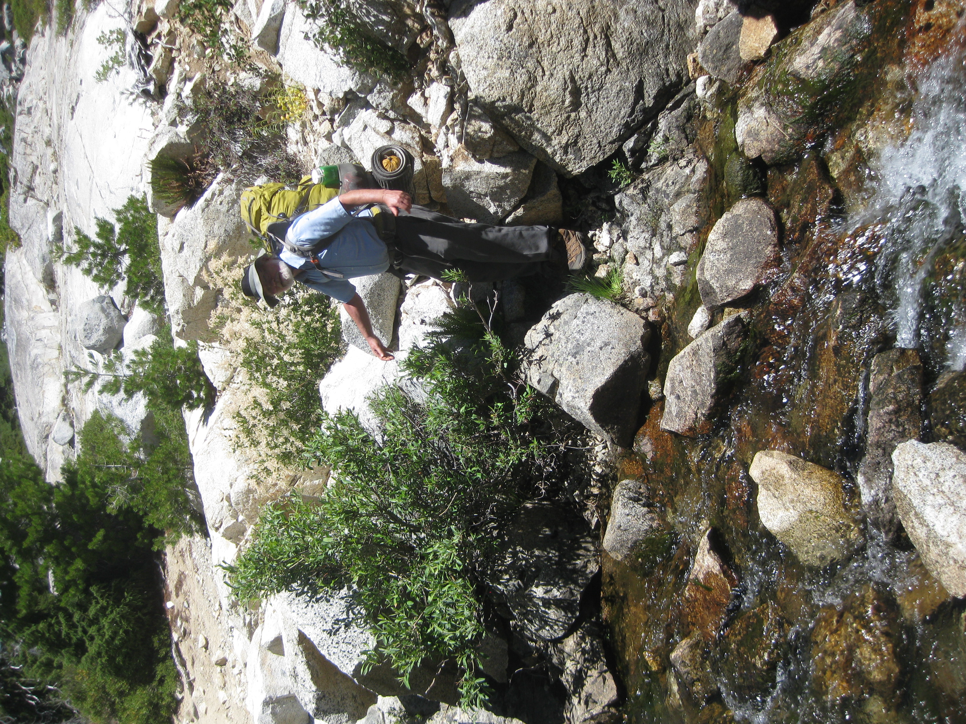
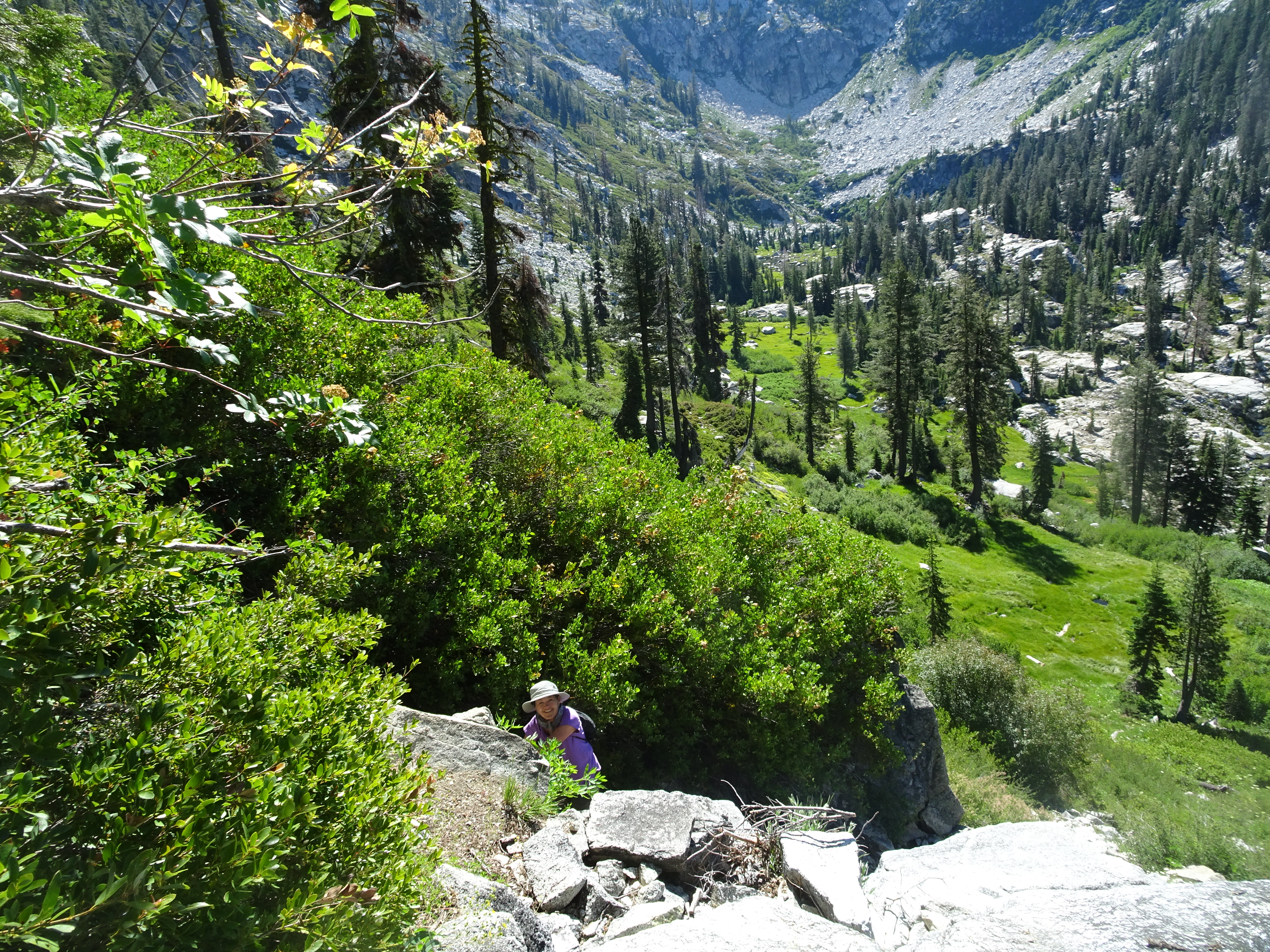
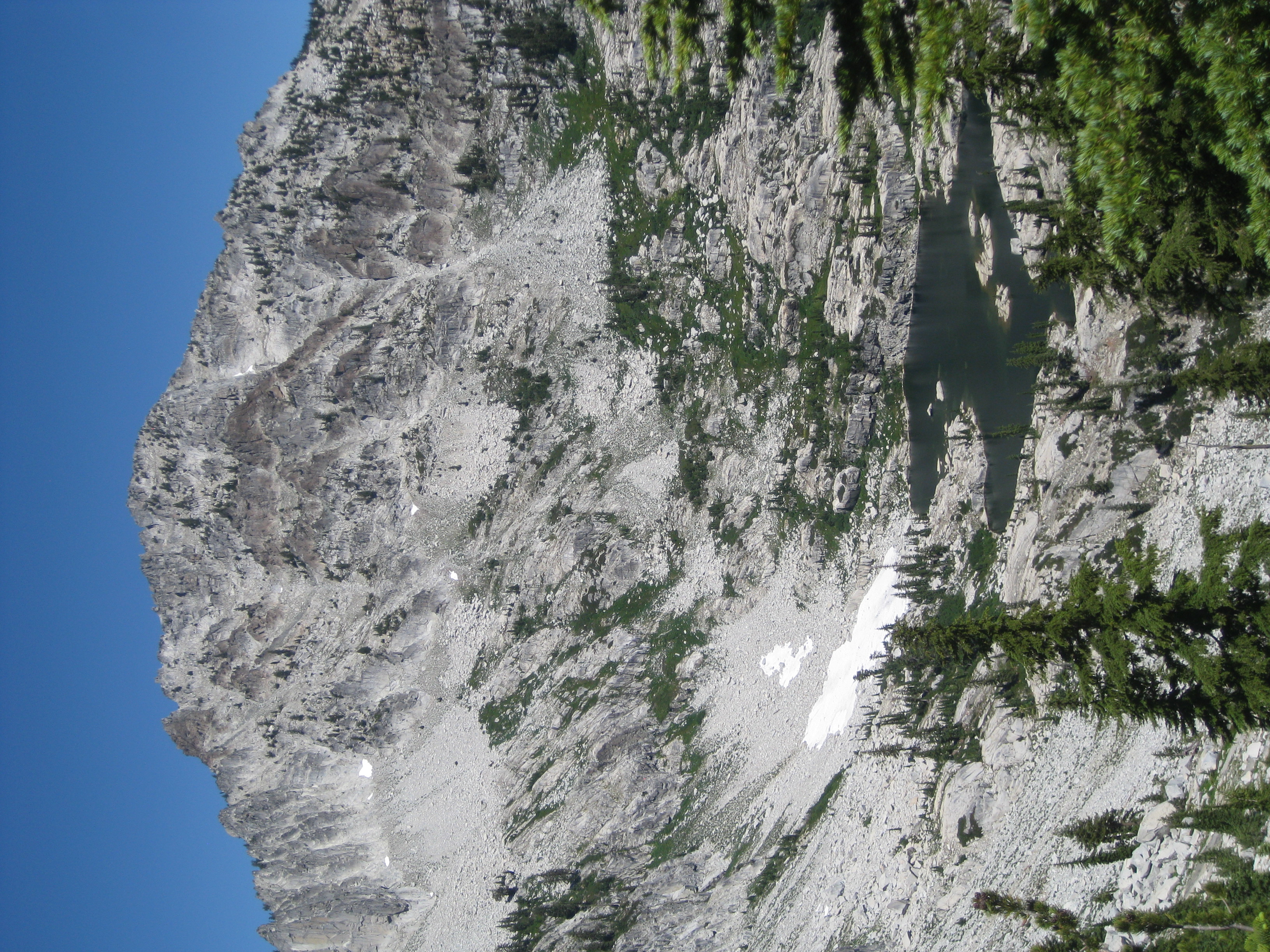
We backpacked to the Upper Canyon Creek Lake, making a mistake as we approached the Lower Canyon Lake. We followed some cairns on granite that led up and over to the Upper Lake but at a much higher elevation above the Lower Lake than was necessary. We would later discover the main path by the lake was much shorter, without the steep rise and fall we took. We had hoped to continue beyond the Upper Lake to L Lake, but found it impossible with our packs to ascend above Upper Canyon Lake, so we re-traced our steps around the lake and set up camp on a ledge between the Upper and Lower Lakes.
Videos:
Elevation Profile (understates distance):
 |
Dinner: Chicken chili with corn and black beans and pinto beans and extras - tomatoes & spanish rice & flour tortillas
Diary:
As we backpacked from Boulder Junction to Upper Canyon Creek Lake we met many people going both ways. One guy was a retired Forest Service worker who had actually helped build the trails we were using. He recommended on our next trip we try the Swift Creek and Coffee Creek areas.
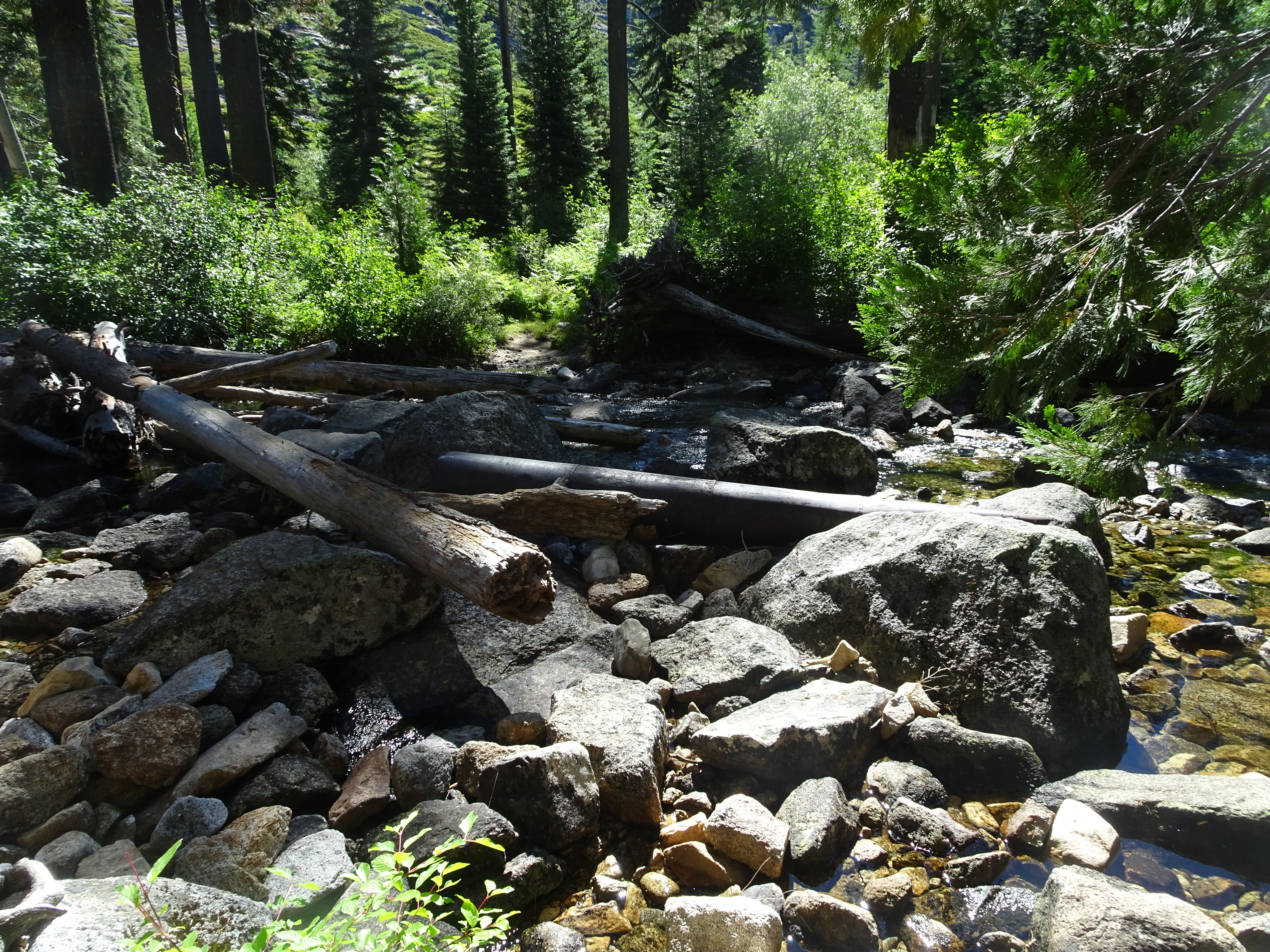
Just prior to approaching the Lower Creek Lake, after the path had gone through quite a passage of ferns, we had to cross the creek where it was covered with logs. As we approached this, it appeared the path suddenly veered to the right and we took it. This turned out not to be the main path, but instead led to a very nice campsite which we would make use of the next night. We returned to the main trail and crossed over the creek climbing on and around the logs [see video above].
 |
 |
 |
 |
 |
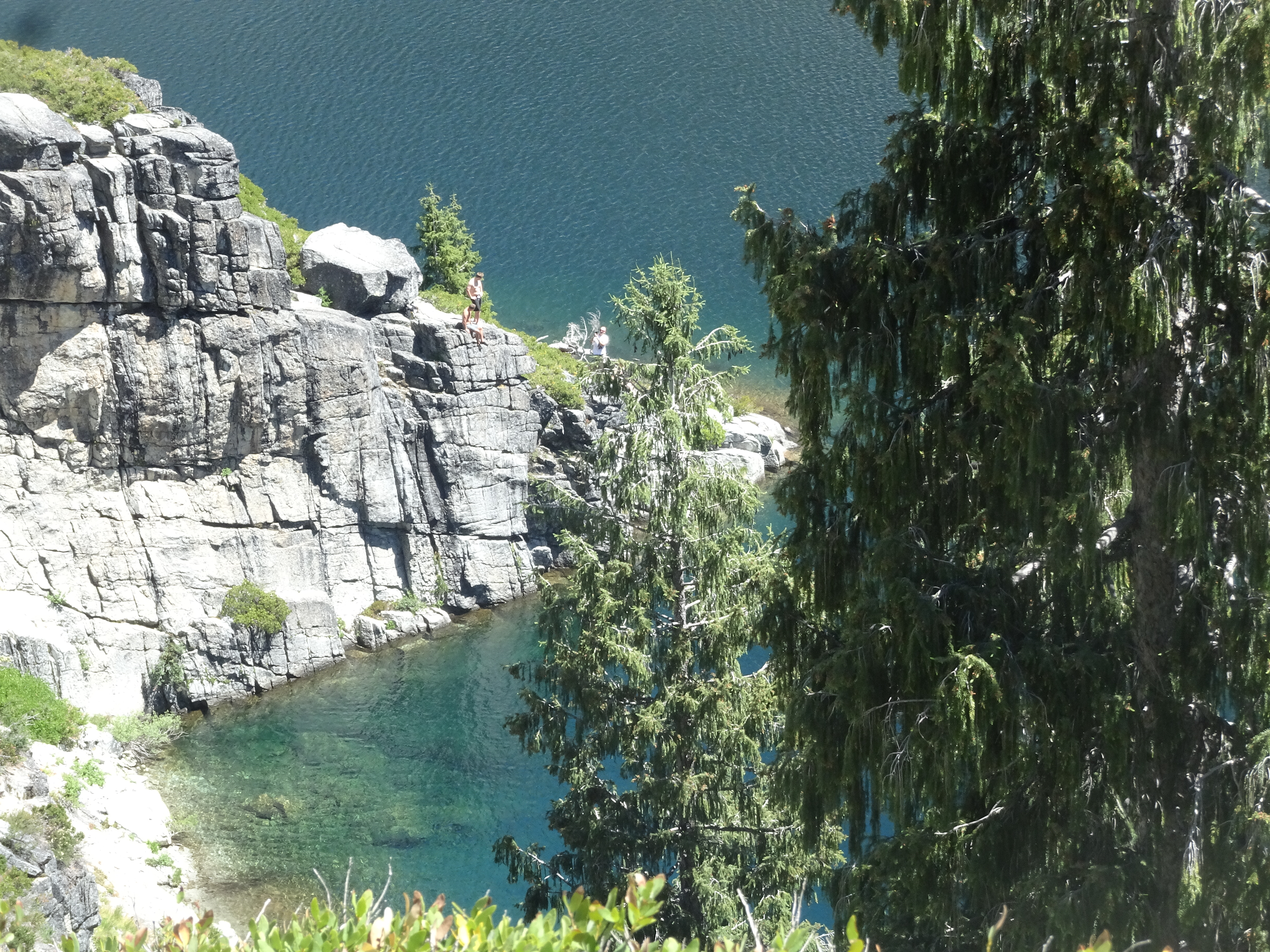
One advantage of our taking the wrong route around Lower Lake was that we got an excellent view of guys jumping off a cliff, perhaps 30' to 40' high (?) into the lake. [see video above]
 |
At the outlet from Upper Canyon Creek Lake we saw a sign posted to a tree instructing us to cross below that beaver dam. The dam currently consisted of a couple of branches, nothing more, but we did cross as instructed.
 |
 |
 |
 |
 |
 |
 |
 |
We decided there must be another route higher up, but it was getting late, so we re-traced the path around the lake to the granite ledge separating the two lakes and set up our tents for the night. As the sun set, it made for a very pretty and inviting campsite, however, there was no shade at all, so given how hot the days were with only some cooling at night, we would not spend another night there. It must be noted that Reenie washed her hair with Bob's assistance. Bob's assistance consisted of dumping bottles of cold creek water on Reenie's head.
 |
 |
 |
 |
 |
 |
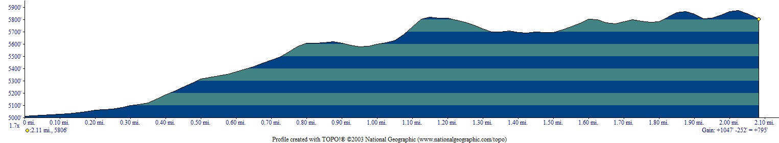
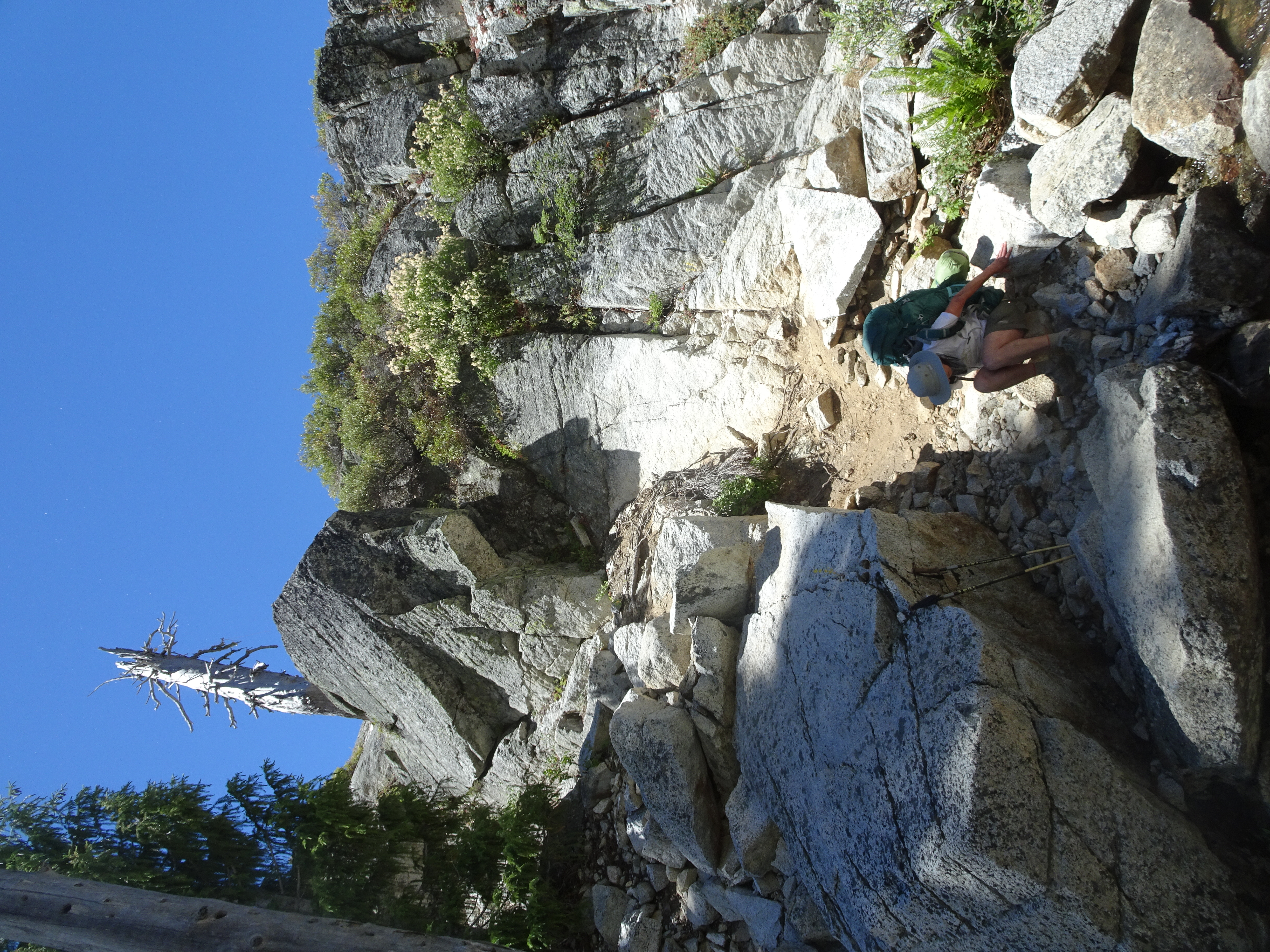
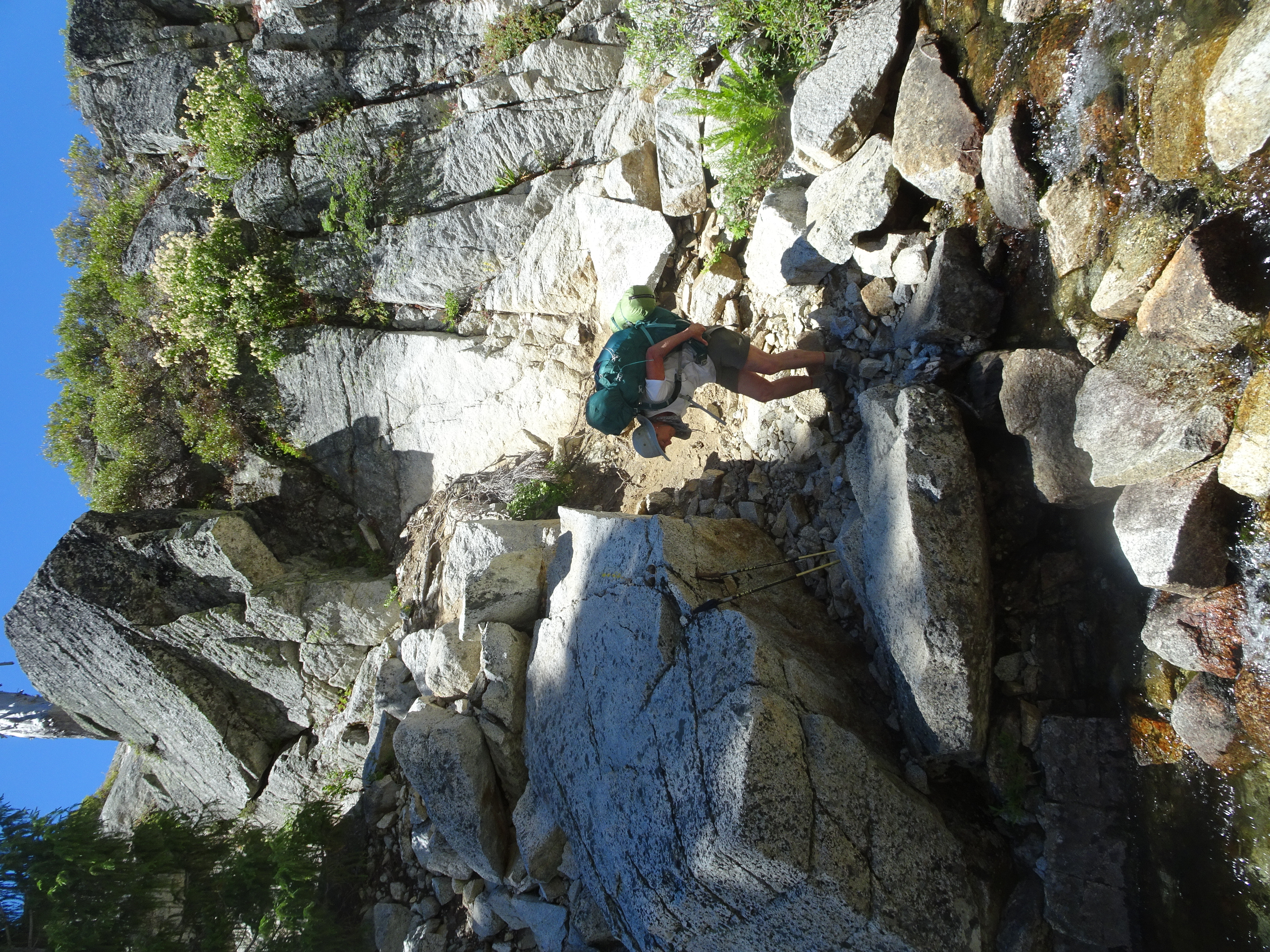
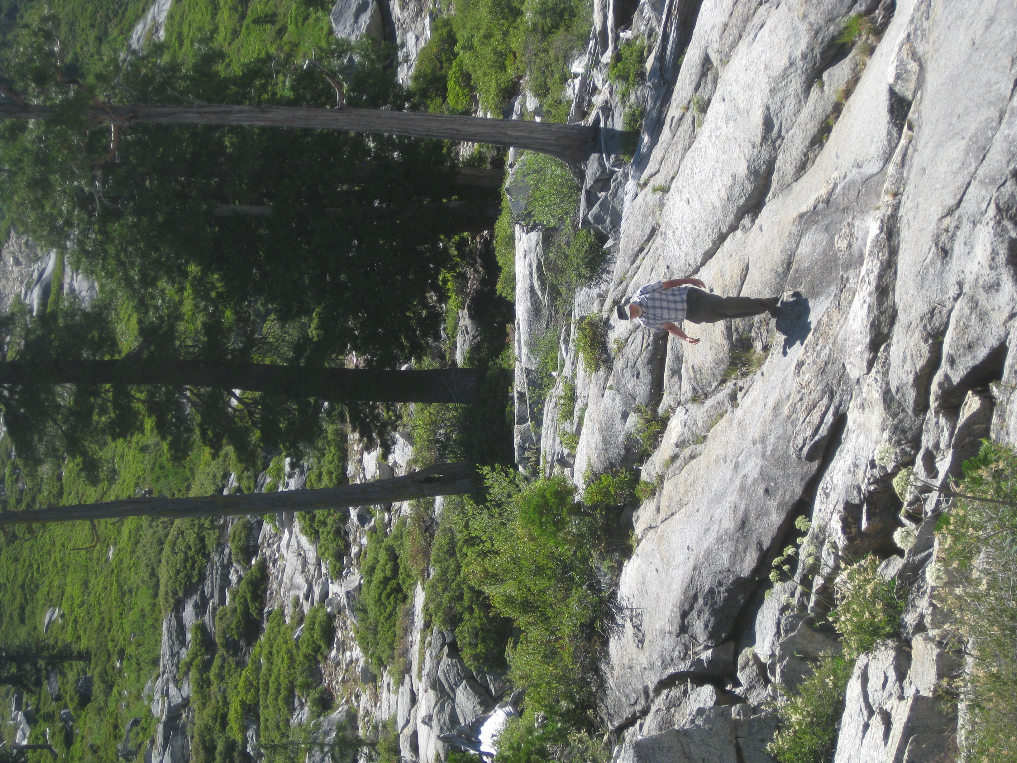
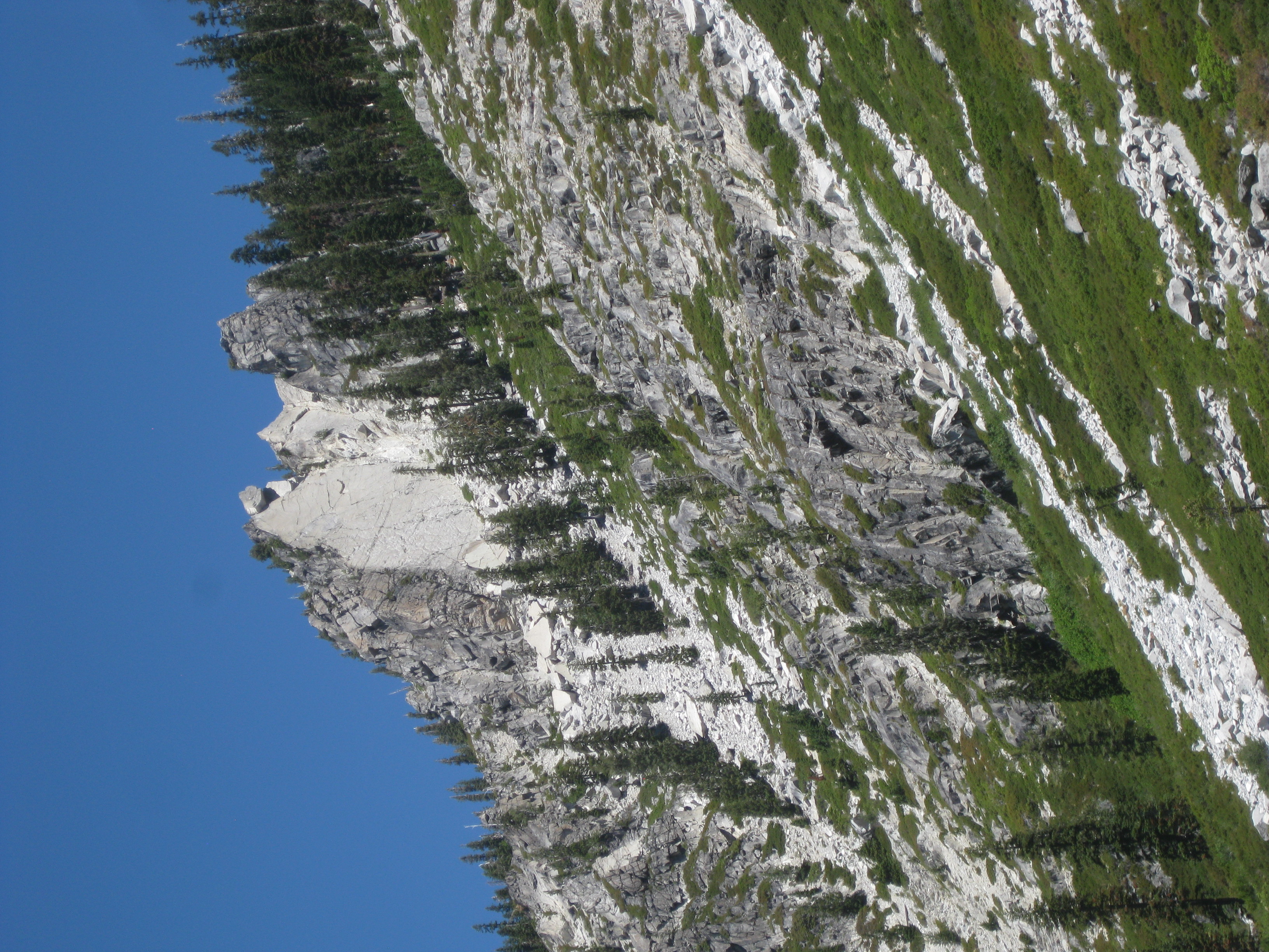
Chose the right way to day hike up from Upper Lake. We then followed a very steep path including climbing right up a steep boulder rockfall for some distance, eventually getting to saddle on ridge above L Lake which overlooked Mirror and Sapphire Lakes. Returned to campsite at lake, packed up, and backpacked down to very nice campsite called Stonehouse, which was next to a creek and which we had to ourselves for two nights.
Videos:
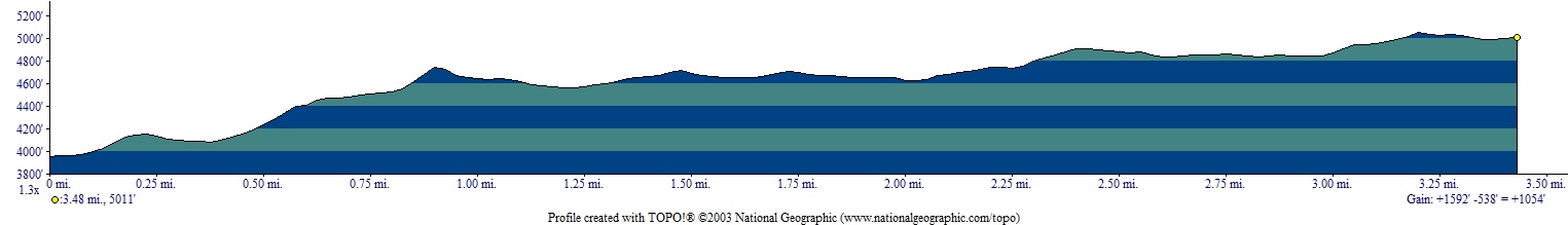
Elevation Profile of hike to ridge saddle overlooking Mirror and Sapphire Lakes:
 |
 |
Dinner: Salmon, smoked Gouda cheese, Triscuits, dehydrated blueberries, figs, apricots.
Diary:
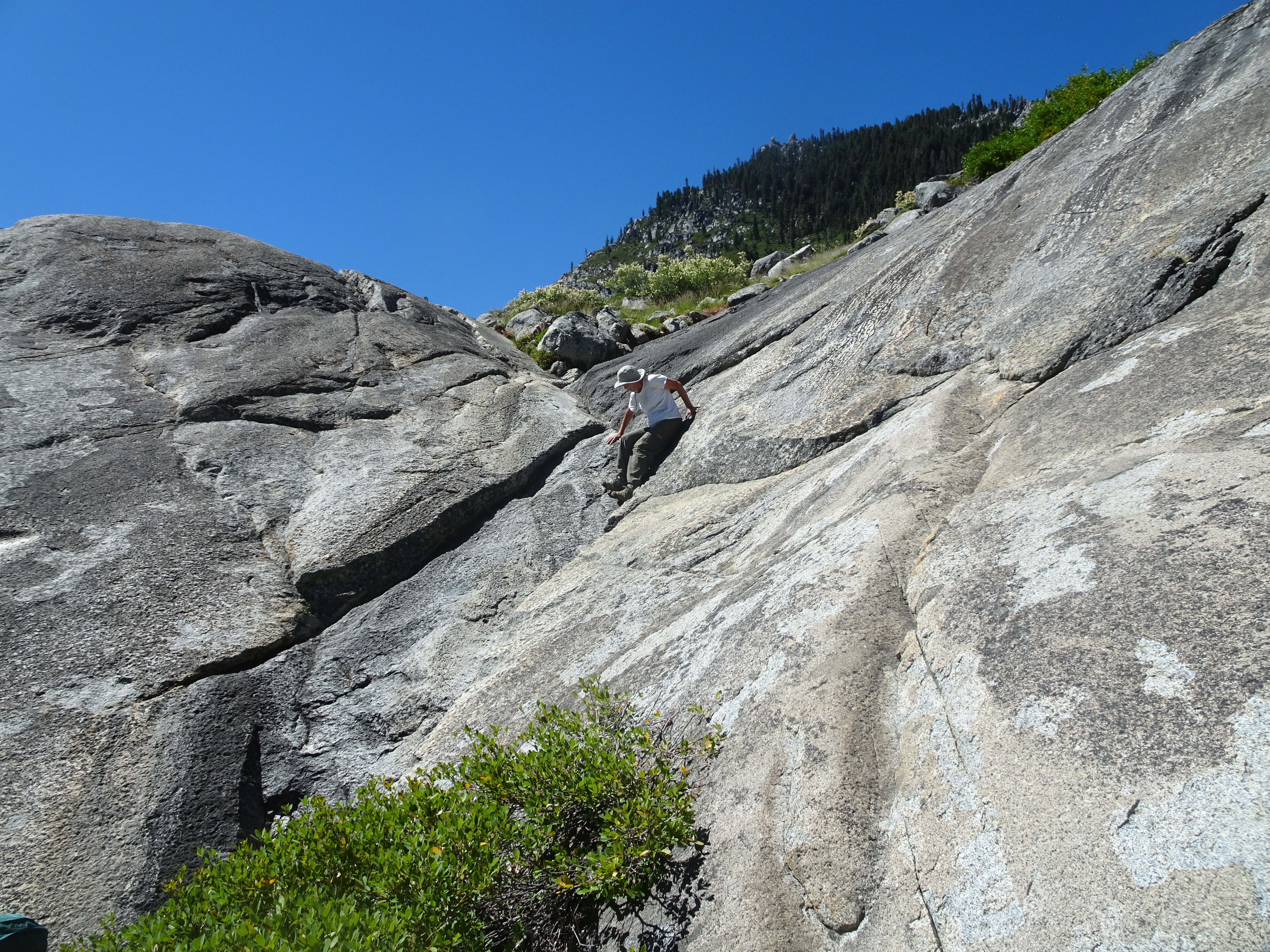
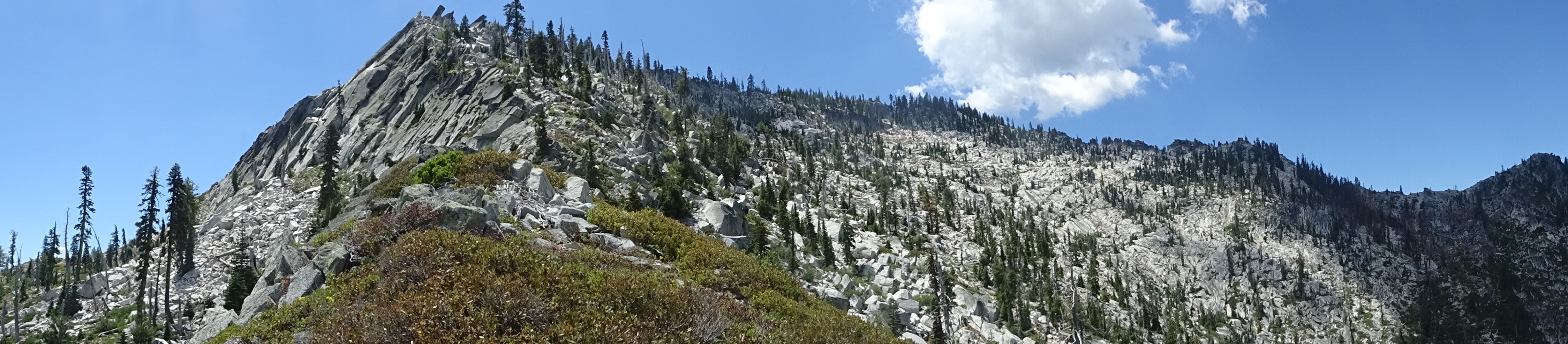
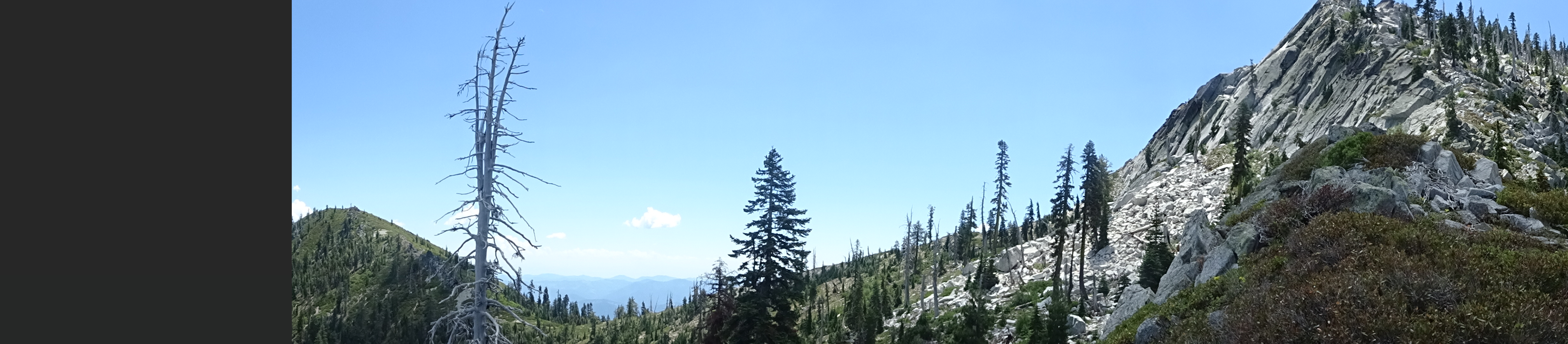
We found a path that led us up above the Upper Lake safely, though involved hiking up granite shelves and scrub brush, leading to creek that exited L Lake. After crossing the creek, we walked briefly over a grass meadow which was sometimes marshy, following a path someone else had recently formed.
 |
 |
 |
We reached a dry rock/boulder stream bed or rock fall that led steeply up, but was the only path, since very thick scrub brush blocked other ways up.
 |
 |
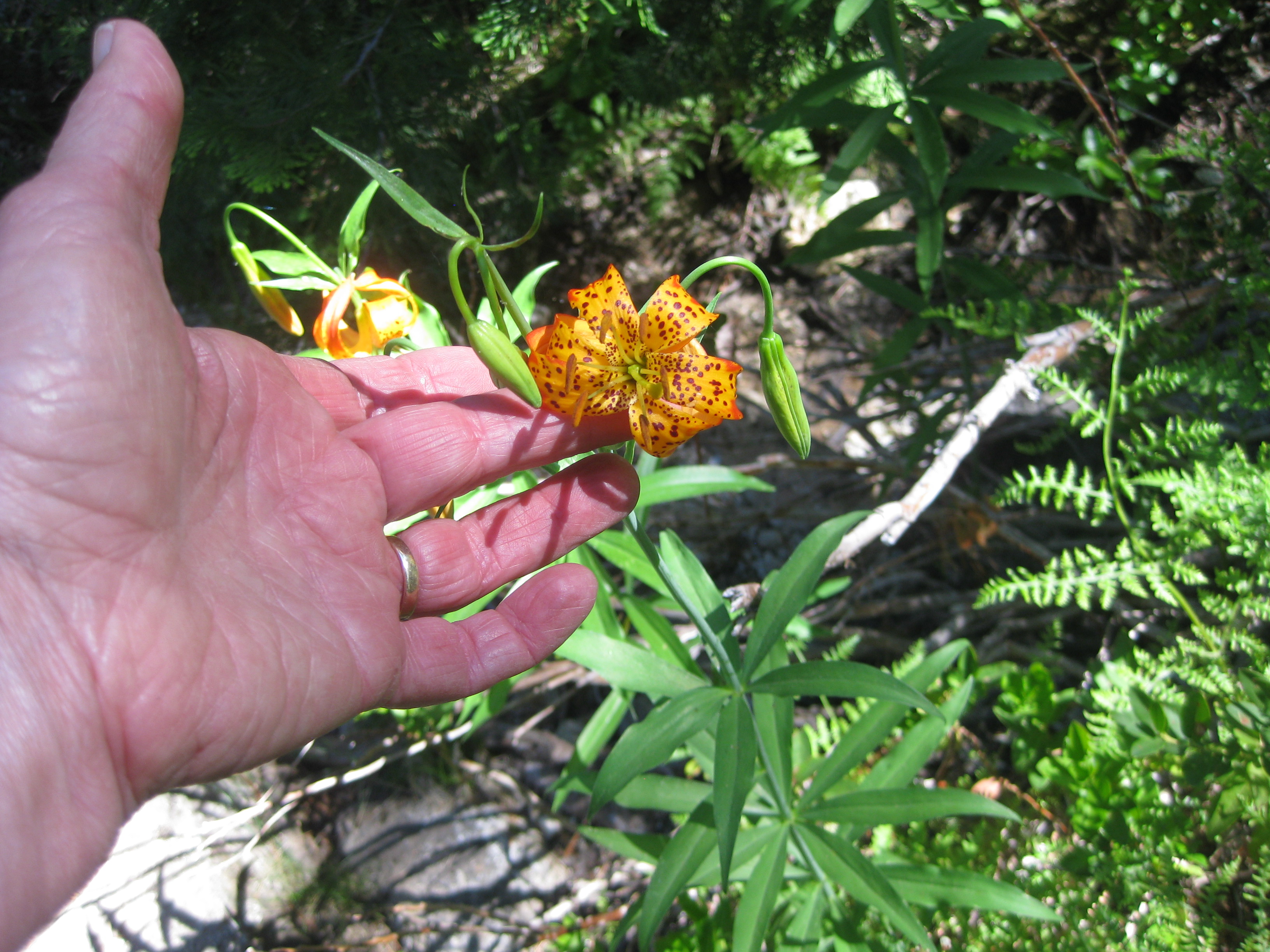
The climb up the rocks was long, strenuous, and very steep, finally getting us into woods that also were steep and strenuous, though with very pretty flowers.
 |
 |
 |
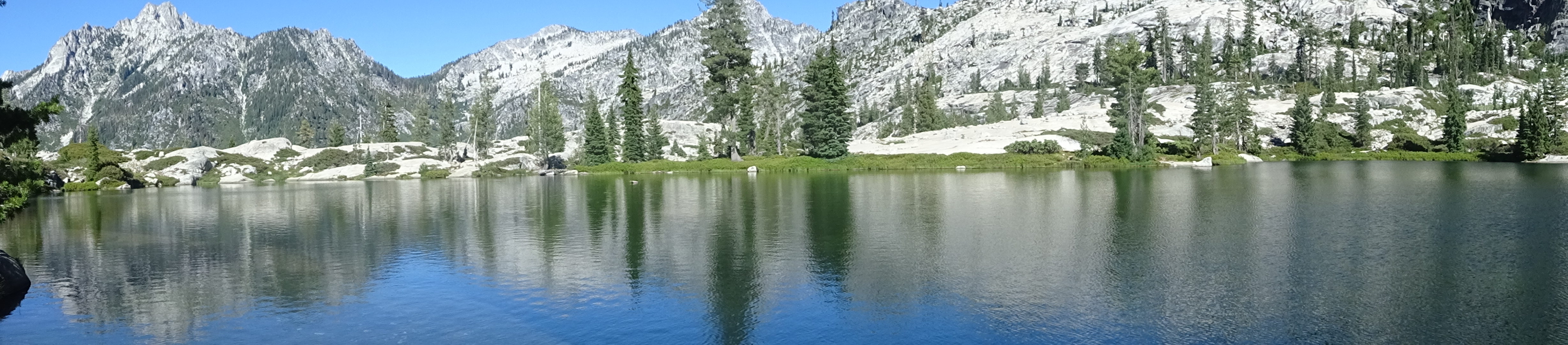
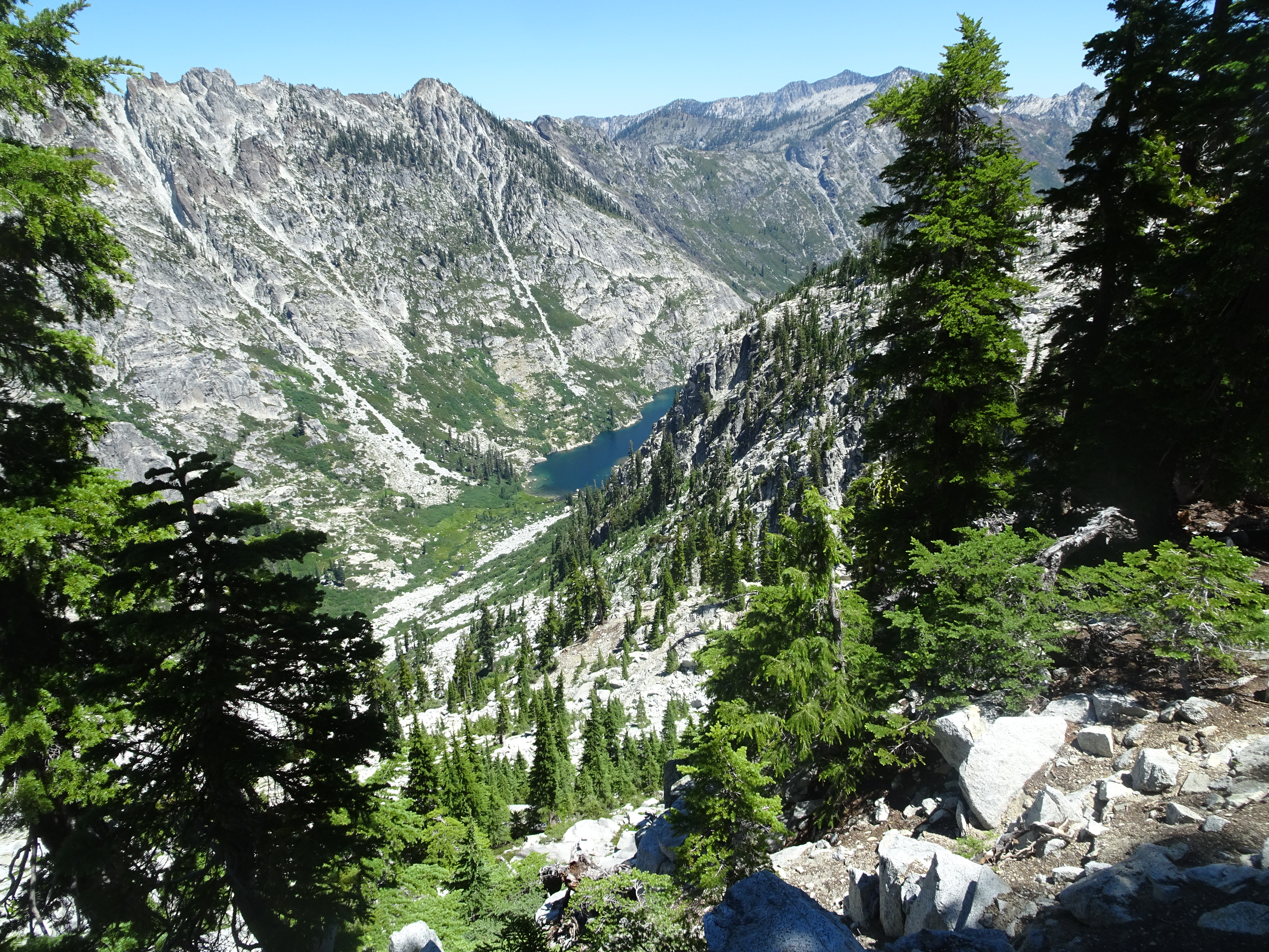
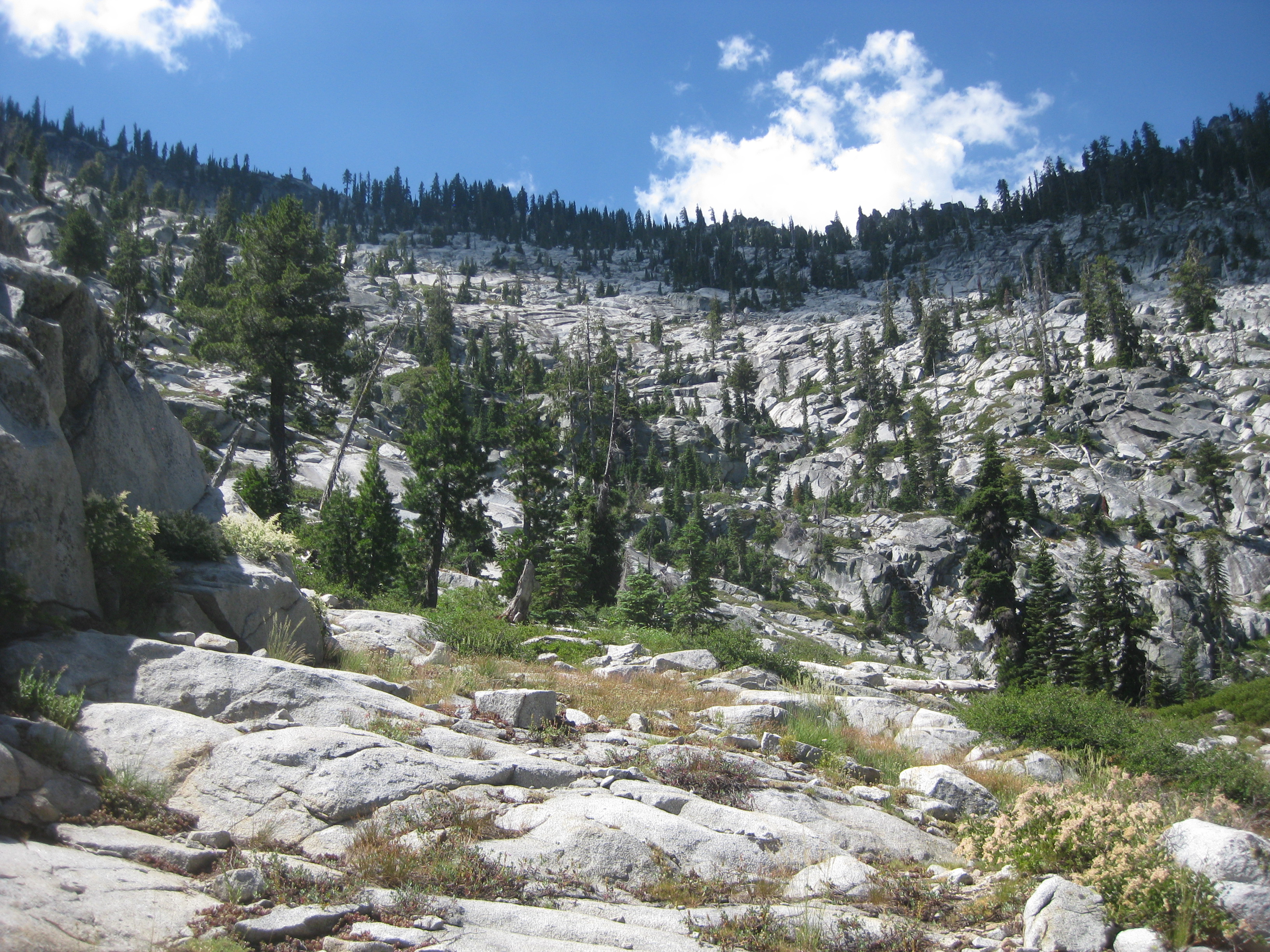
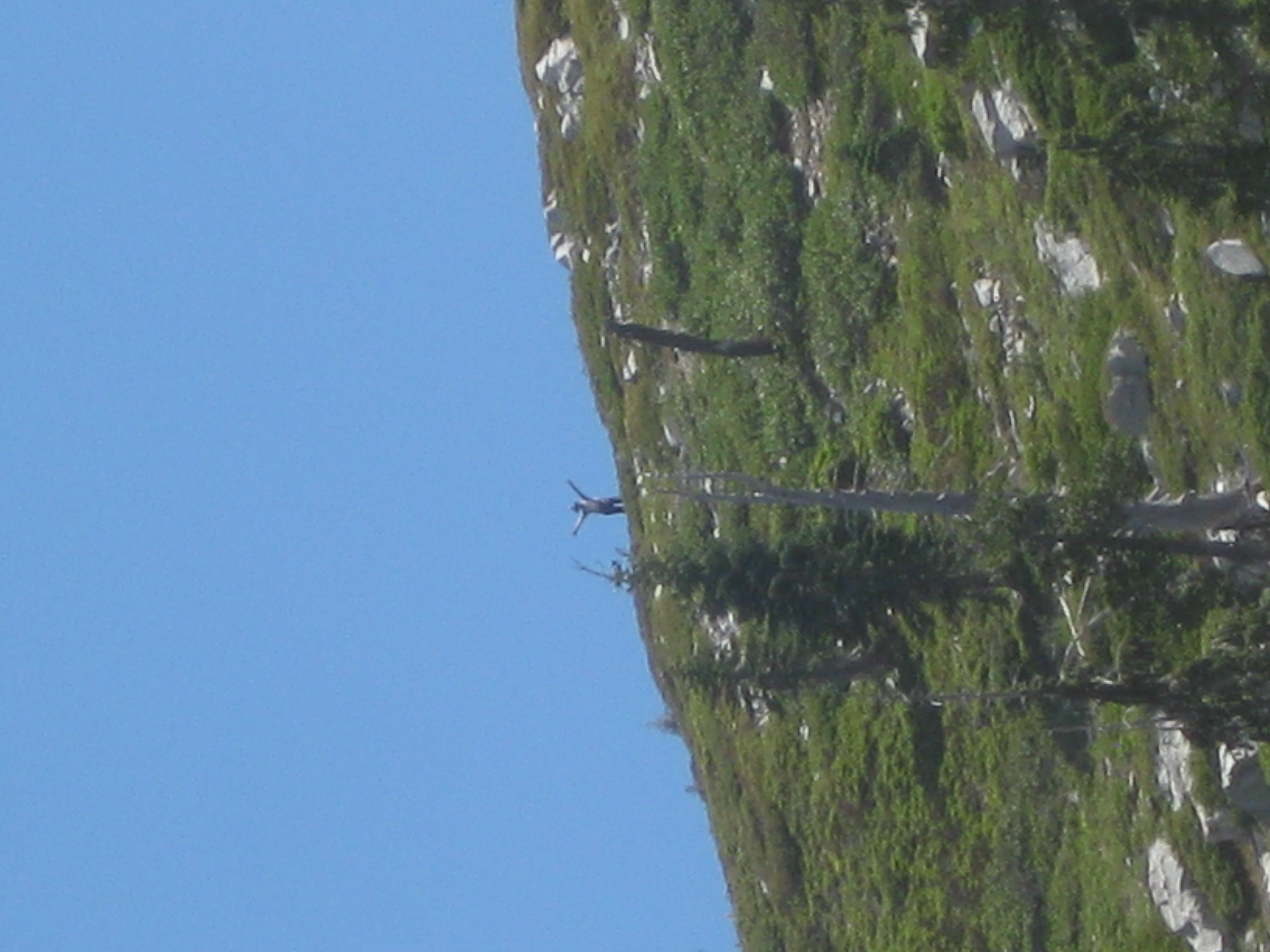
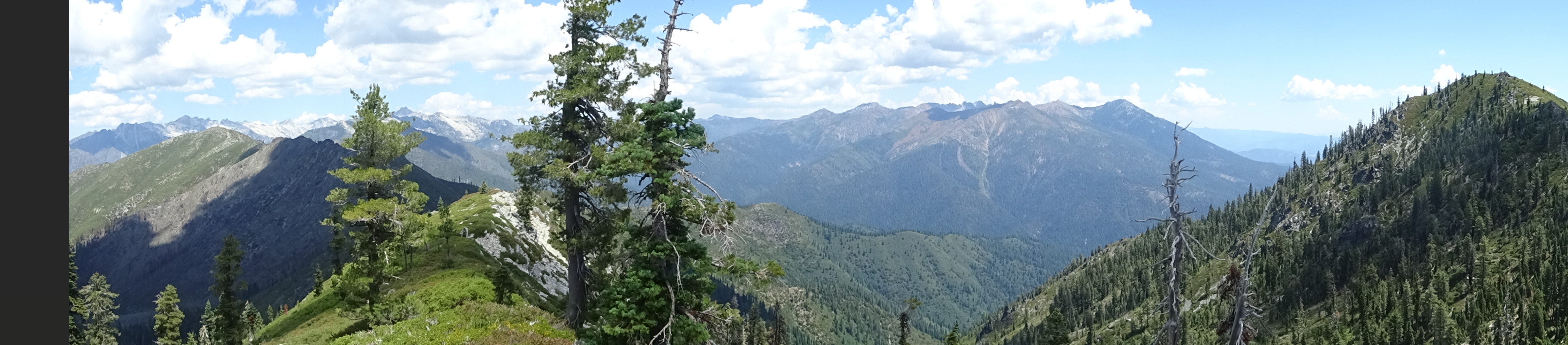
Then we got to the saddle with a stunning view of Mirror and Sapphire Lakes far below the ridge line. Worth every bit of the effort to get there.
 |
 |
A perfect place to have a picnic, and so we did.
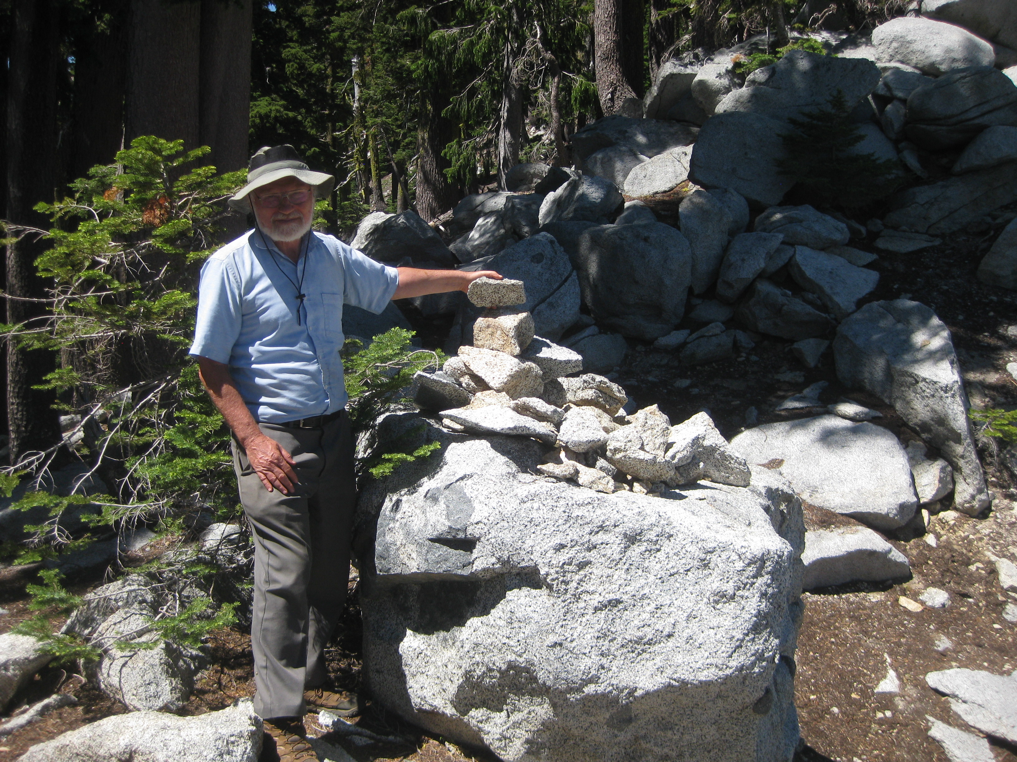
Others had built a rock pile showing that they had made it, so we added our rock.
 |
 |
 |
At one point we heard a group of boys further along the ridge as they headed down. We assumed they had trampled the grass path we followed at the start of the ridge climb.
It had taken us 3 hours and 20 minutes to get up. Took only 3 hours and 15 minutes to get back down to our campsite. On the way down we got a good view of L Lake (also called El Lake, Little Lake).
 |
Our campsite was quite hot given its location on granite with no shade. So we decided to pack up the camp and move down to the very nice, shady camp we had discovered yesterday below the Lower Canyon Lake. Took us about 2 hours of backpacking to get down there (the two hours included briefly getting off trail and going by a group of young women sunbathing and swimming in the Upper Lake. They directed us back to the proper trail.)
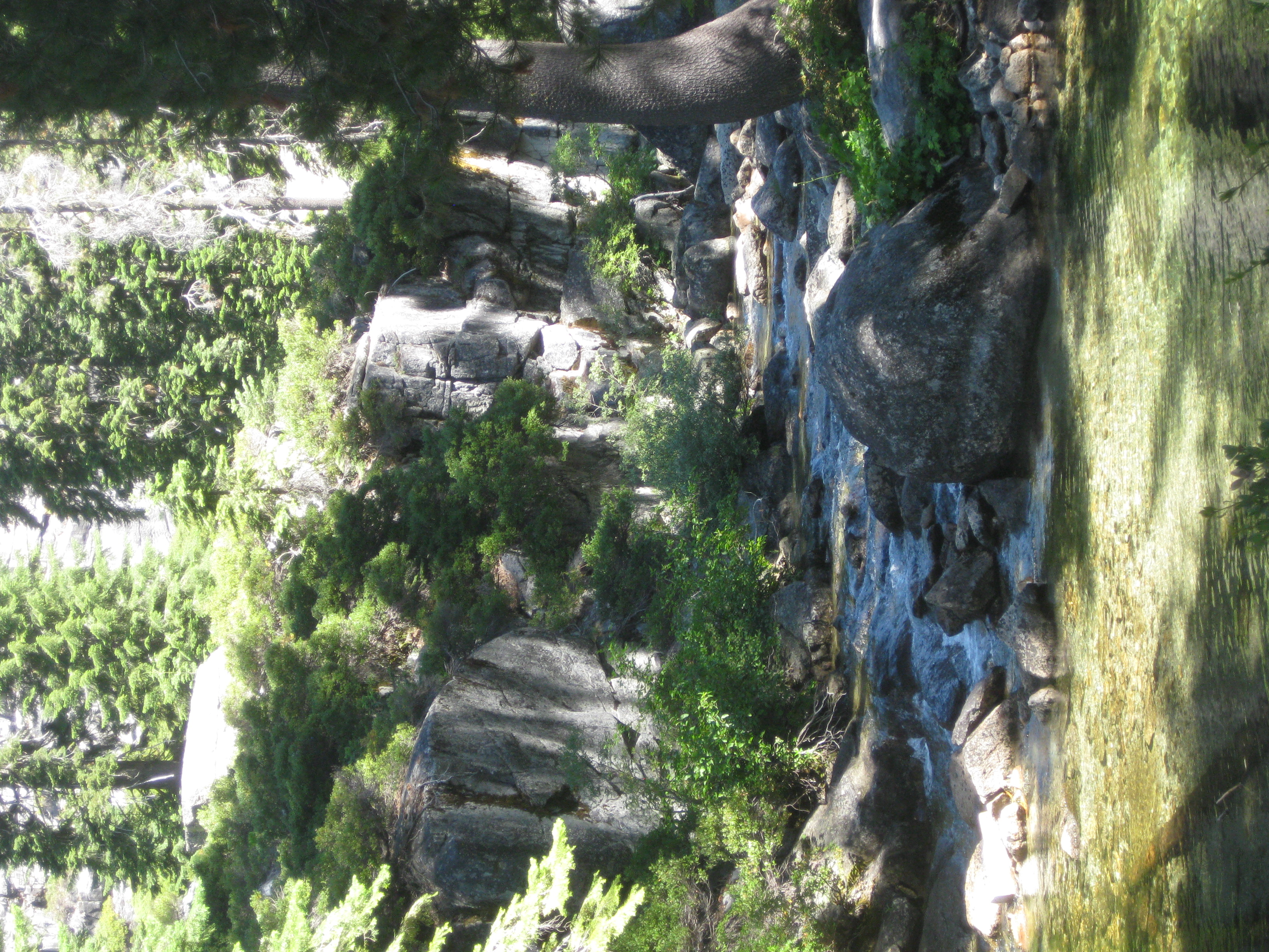
The backpacking was well worth the effort. So nice to be right near a creek with pools of water.
That evening we heard and saw movement in the water pool near our tents, but it was dusk and hard to make out exactly what we were seeing. There were some fish jumping, but also appeared to be some animal (otter, beaver?) moving and shaking its head.
This was a day of rest and relaxation: short hike up to lake for lunch and swimming; back to camp and dinner; pleasant hike in a meadow.
Videos:
Dinner: Yellow vegetable curry with pineapple, rice, extra mushrooms, and 4 toppings: raisins, sunflower seeds, coconut and chopped peanuts.
Diary:
After getting up and munching on some granola, we took pictures of our campsite and creek, then Reenie got in the pool to rinse out some laundry, later to be placed on a log to dry.
|
 |
A little later in the morning we hiked to Lower Canyon Creek Lake. After crossing the creek, the path led a short distance through forest until we saw the creek falling down from the lake, then up some granite slabs to the lake.
 |
 |
 |
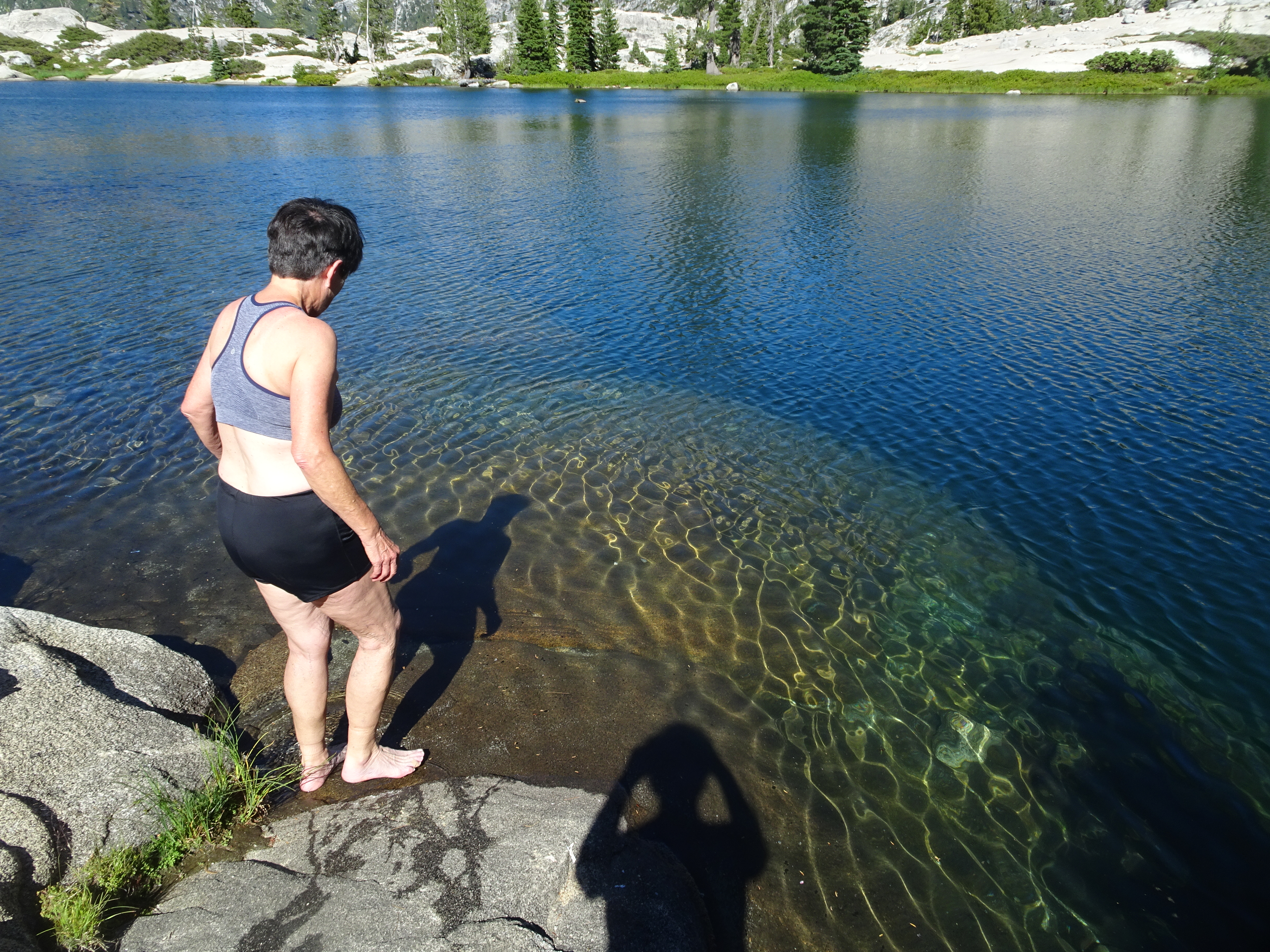
Once at the lake we ate lunch, then Reenie bravely went into the lake for a swim, going more than half way across the lake before turning around and swimming back.
 |
 |
As we left the lake for the last time, we took some photos of the surroundings to help remember just how beautiful the location was.
 |
 |
 |
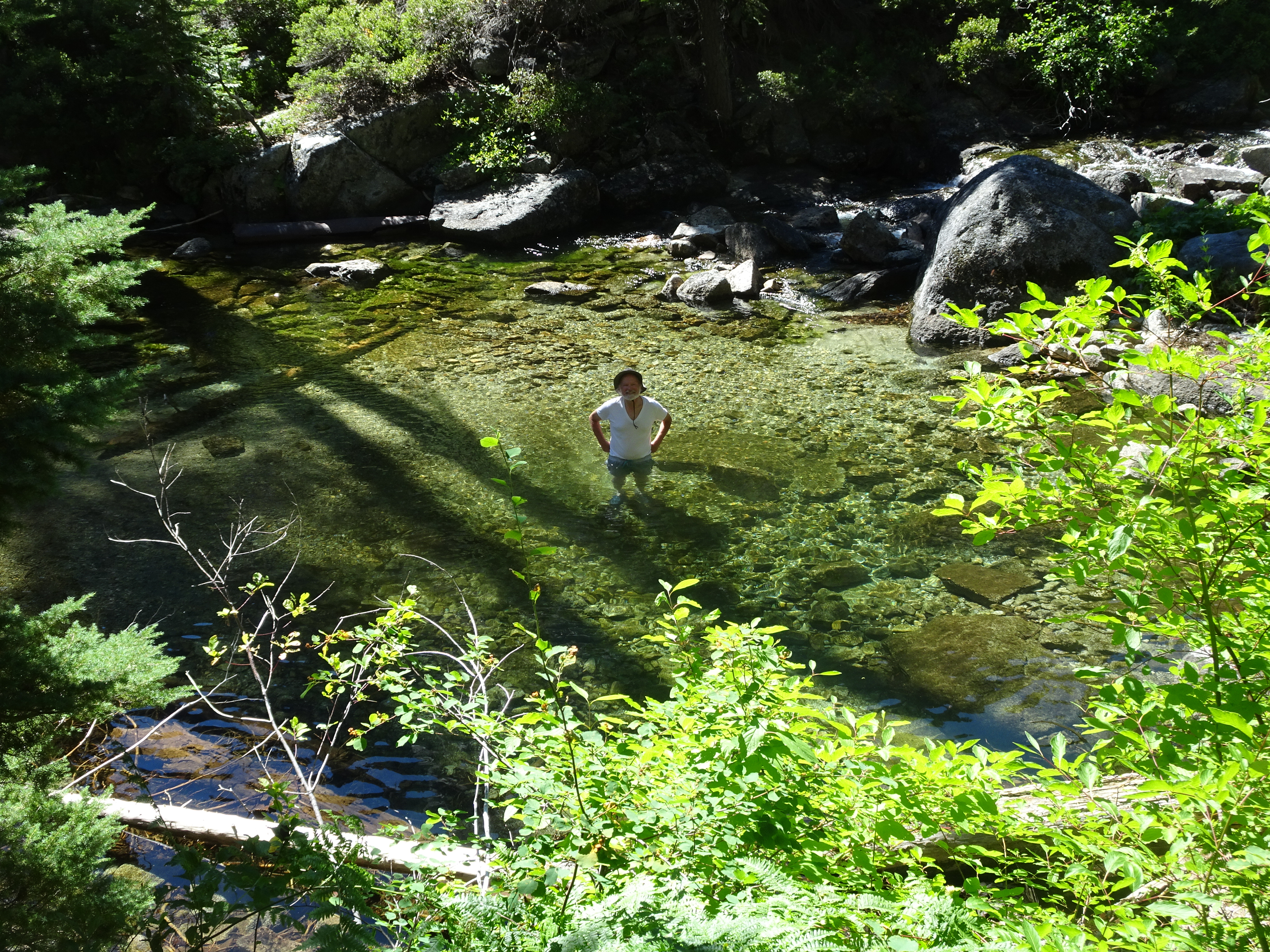
Back at camp, we had hoped to take naps in the tents, but it was too warm. So Reenie works on a Sudoku puzzle and Bob goes down to the creek pool and actually gets in - well, at least up to his waist. Bob had decided some of his clothes also could use rinsing. When Reenie sees Bob actually in the pool, she too decides to come in, joining both Bob and 3 fish who swim around, apparently not caring that humans are in with them. More laundry gets done.
 |
 |
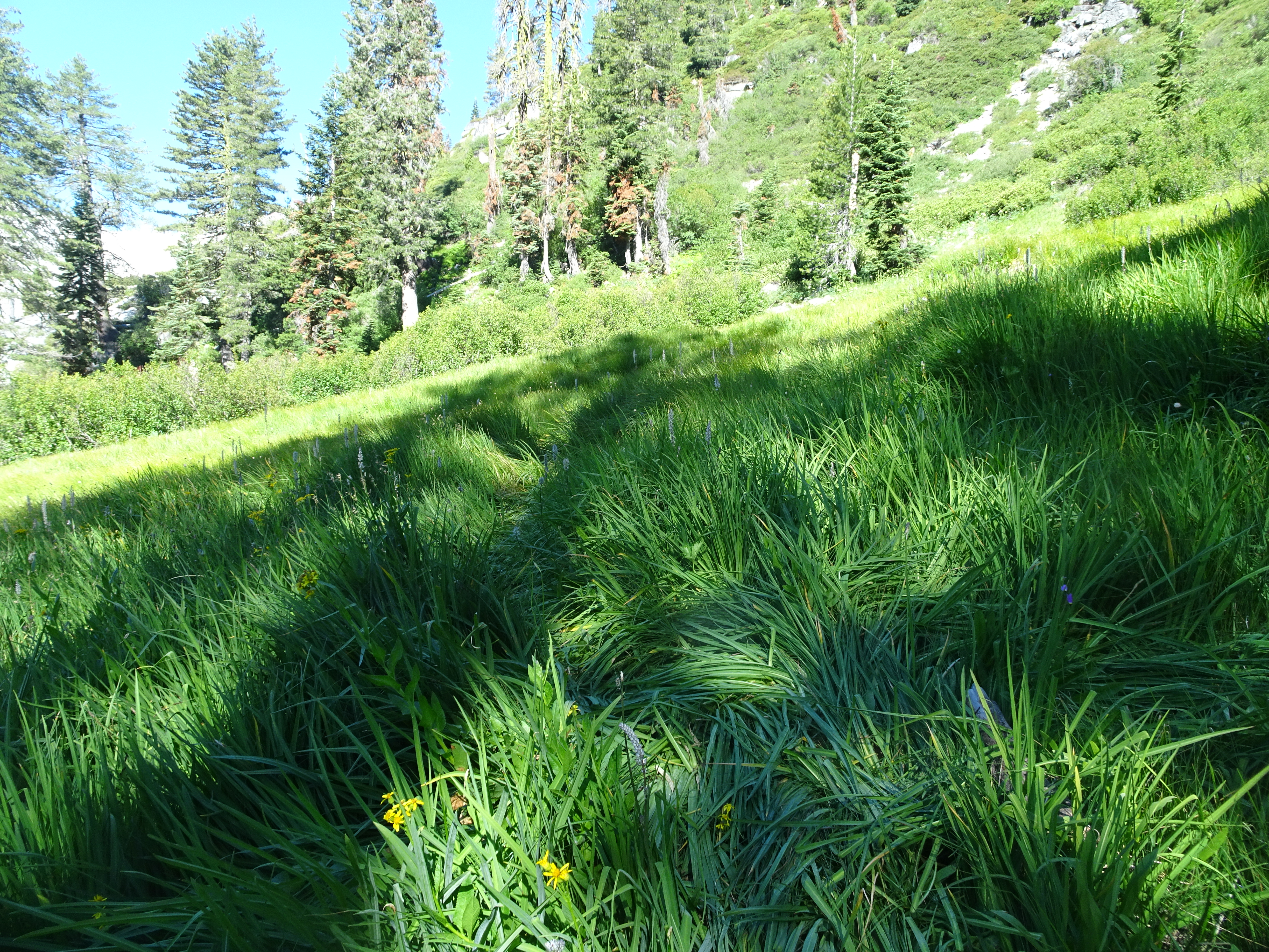
After dinner we walked to a pleasant meadow.
 |
 |
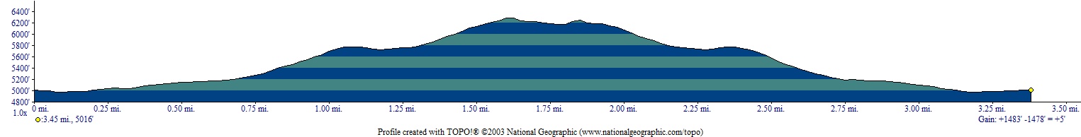
Backpacked 5 miles to Sinks campground.
Elevation Profile (understates distance):
 |
Dinner: Tan Tan Moroccan Vegetables plus pineapple and basmati rice with orzo
Diary:
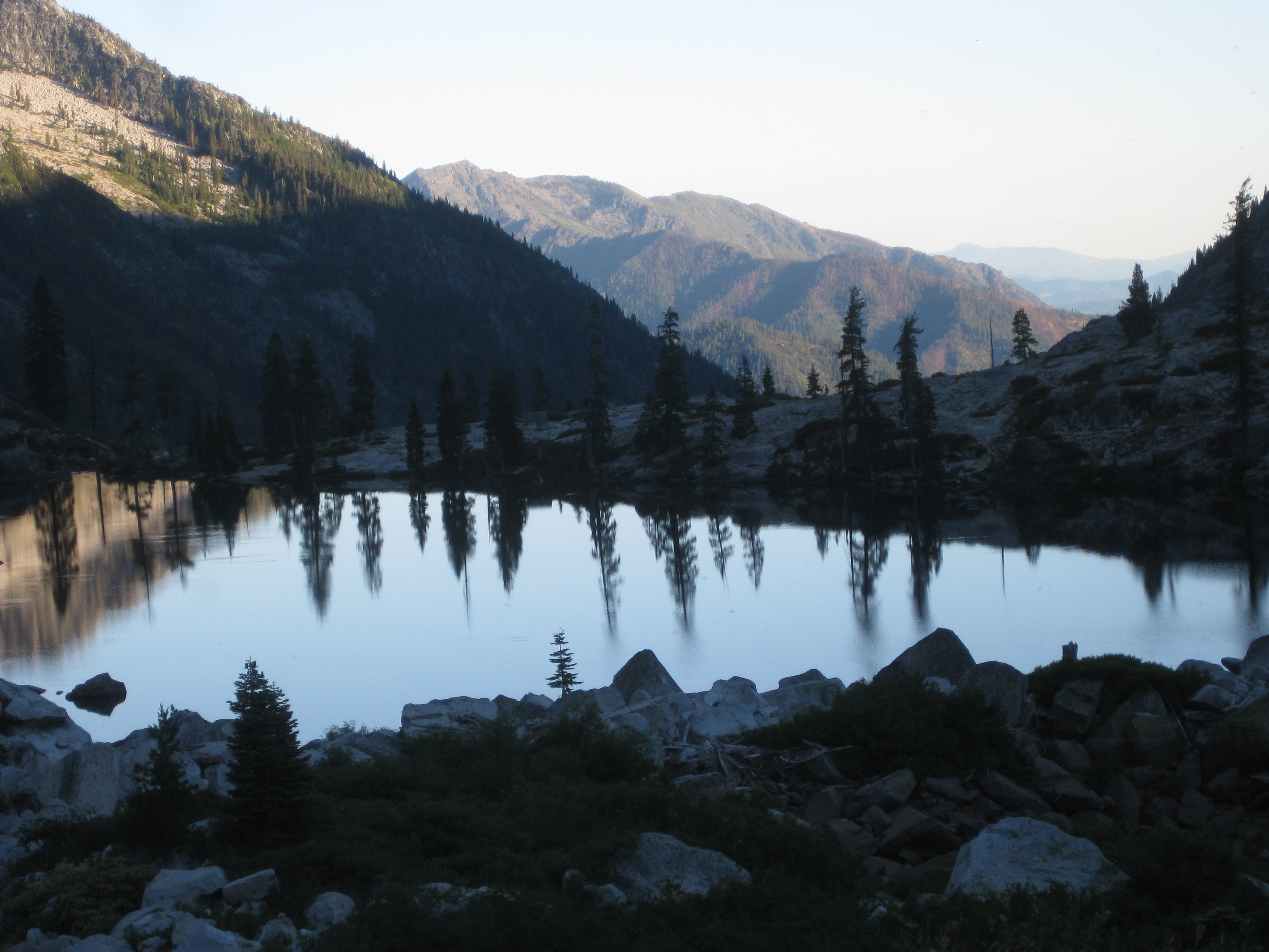
The day was slightly overcast and cooler, a welcome relief. The previous night had been too hot in the tents. As we began our backpacking, we took pics of the creek and pool, then later a view in the distance of the saddle on the ridge to which we had climbed a couple of days earlier.
 |
 |
Below are views of where we were headed and the creek along which we were walking.
 |
 |
 |
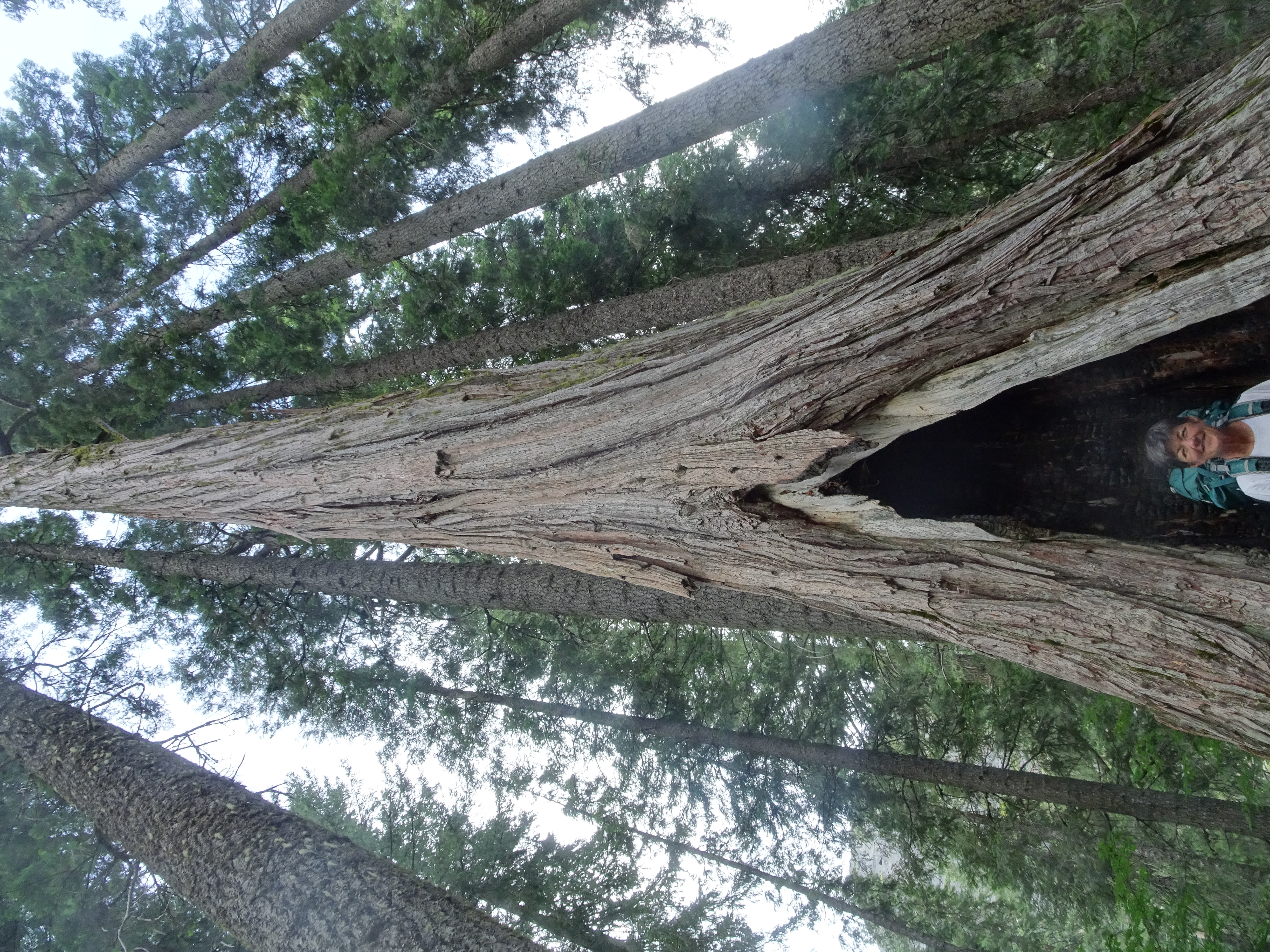
After continuing along the pretty path for a while, Reenie discovers a secret door into a hidden kingdom. Unfortunately, neither she nor Bob is able to open it.
 |
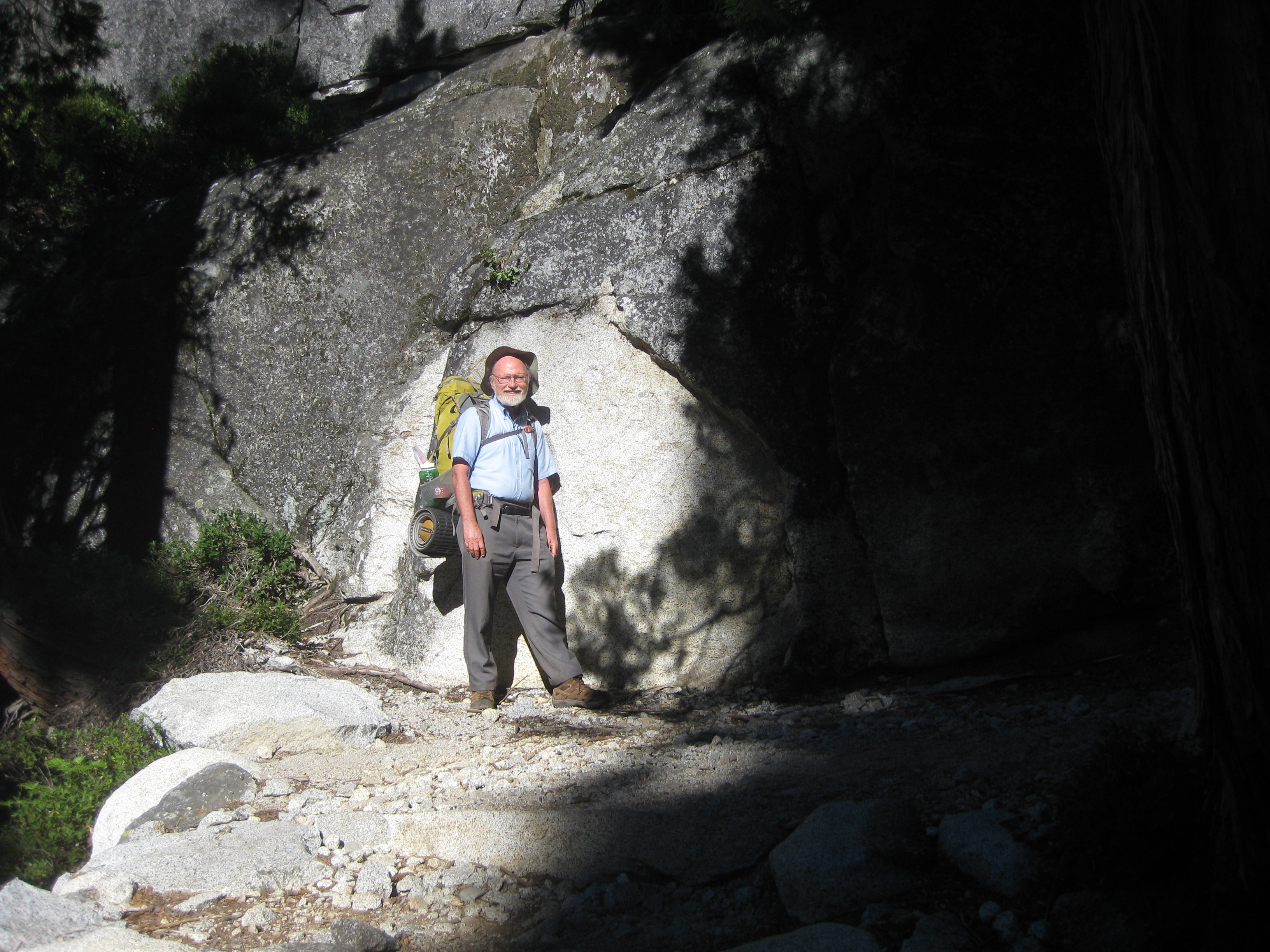 |
After having failed to open the secret door, Bob and Reenie try to gain entrance through a tree, again however to no avail.
 |
 |
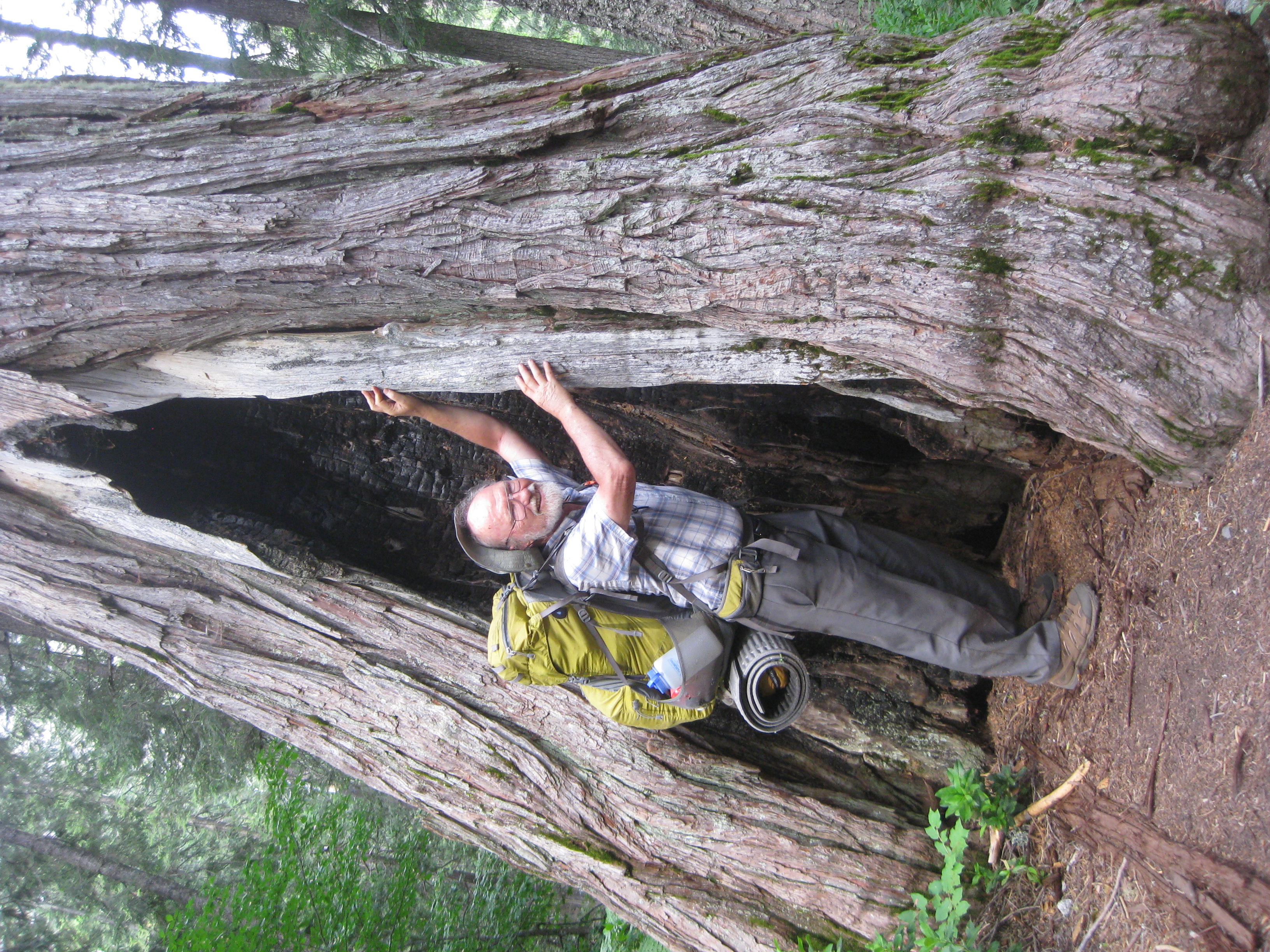 |
We met a lot of people hiking up the trail. One guy we met said he had been up to Boulder Lake and then to Forbidden Lake. At Forbidden Lake he had seen a mother bear and her cub. Another guy told us about a wonderful campsite his family was using, but we never found it.
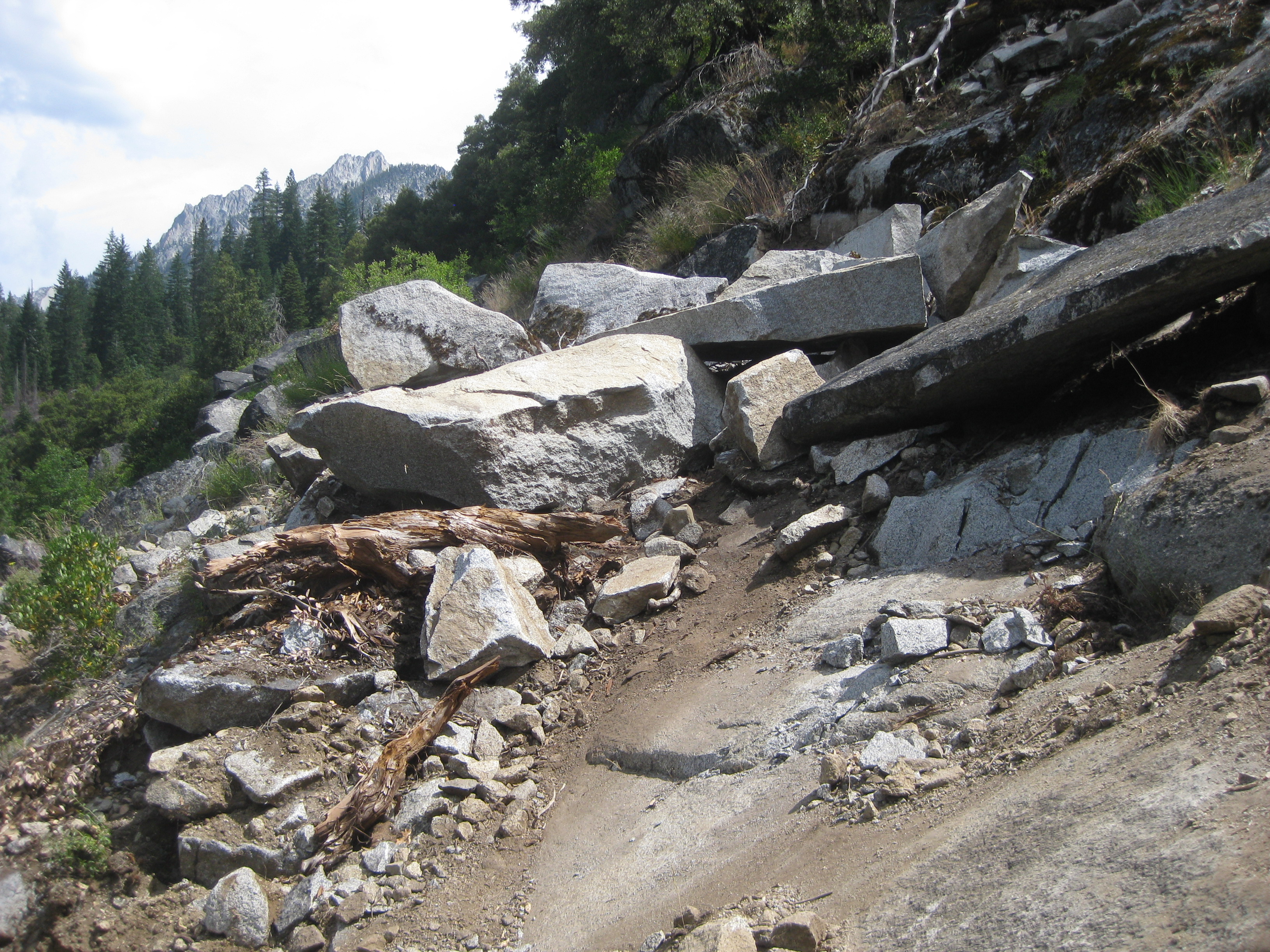
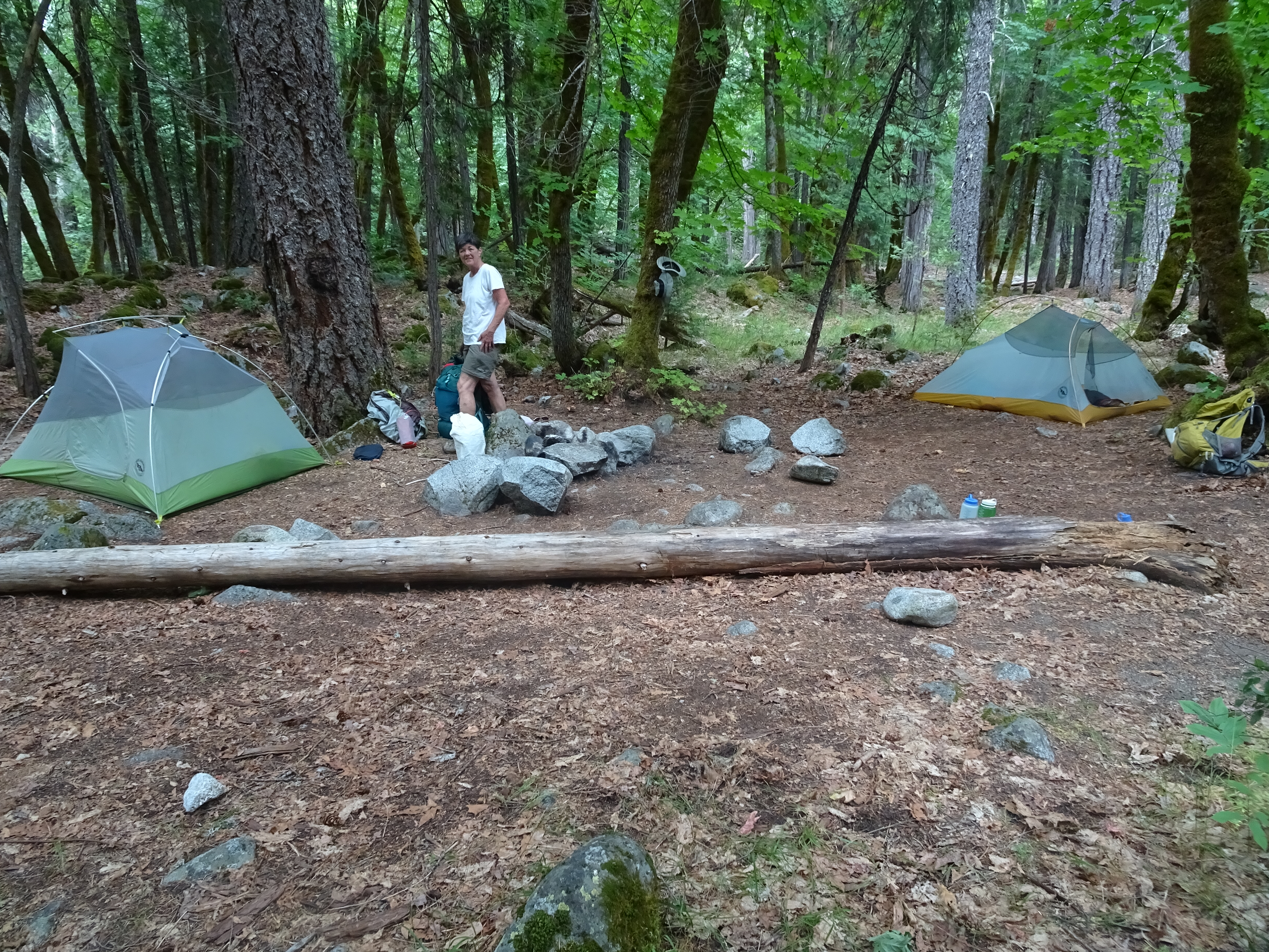
As we hiked this time, we kept our eyes out for the rockpile that we had been warned about at the trailhead, but had not seen. And now we found it, as shown below. One reason for looking is that upon finding it we knew we had but a mile to go to the Sinks. When we reached the Sinks we found our previous campsite was occupied, but we found another one equally good next to the stream. Reenie got in the stream and rinsed her hair. Bob helped by dumping water on her head.
 |
 |
There were, however, too many mosquitos. We got in our tents and took afternoon naps before eating dinner.
We left our Sinks campsite and backpacked about 3 miles down to the Canyon Creek trailhead where we had started. Then we drove to the East Fork Lake Trailhead and backpacked about 2.5 miles up to the Bucks Ranch campsite.
Elevation Profile from Sinks to Canyon Creek Trailhead:
 |
 |
Dinner: Basically our lunch time food, but with lemonade!
Diary:
As we hiked down to the trailhead, one couple coming up approached us and the guy said: "FYI, about 100' back a mother bear and her cub crossed the path right in front of us." Bob immediately went quickly down the trail and then off trail, but had no luck seeing the bears. Perhaps this was the same mother bear and cub who had been up at Forbidden Lake yesterday.
We got to the trailhead and dumped our trash in the trashcans. The car was in good shape, so we got in and drove to our next trailhead, the East Fork Lake Trailhead.
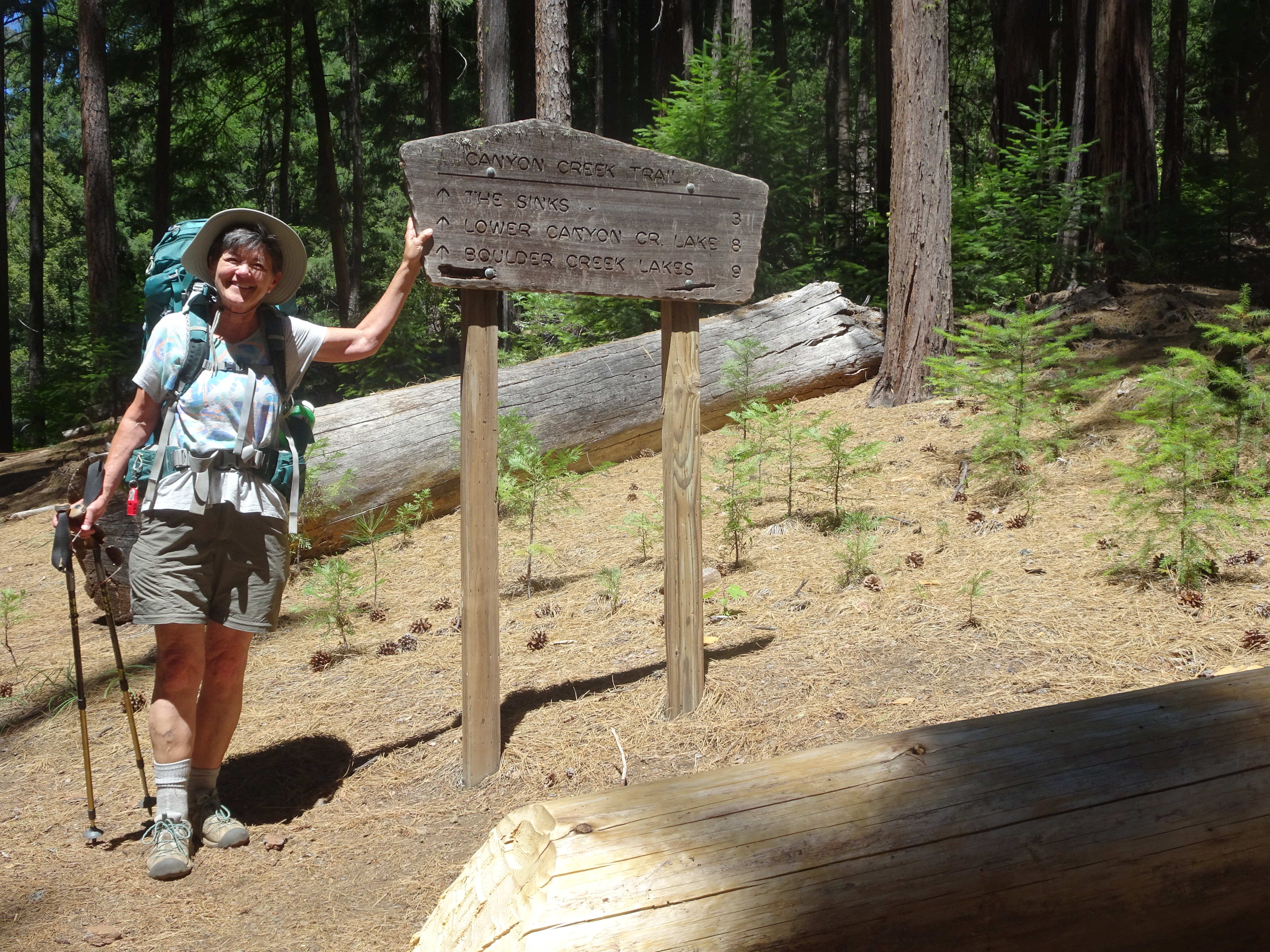
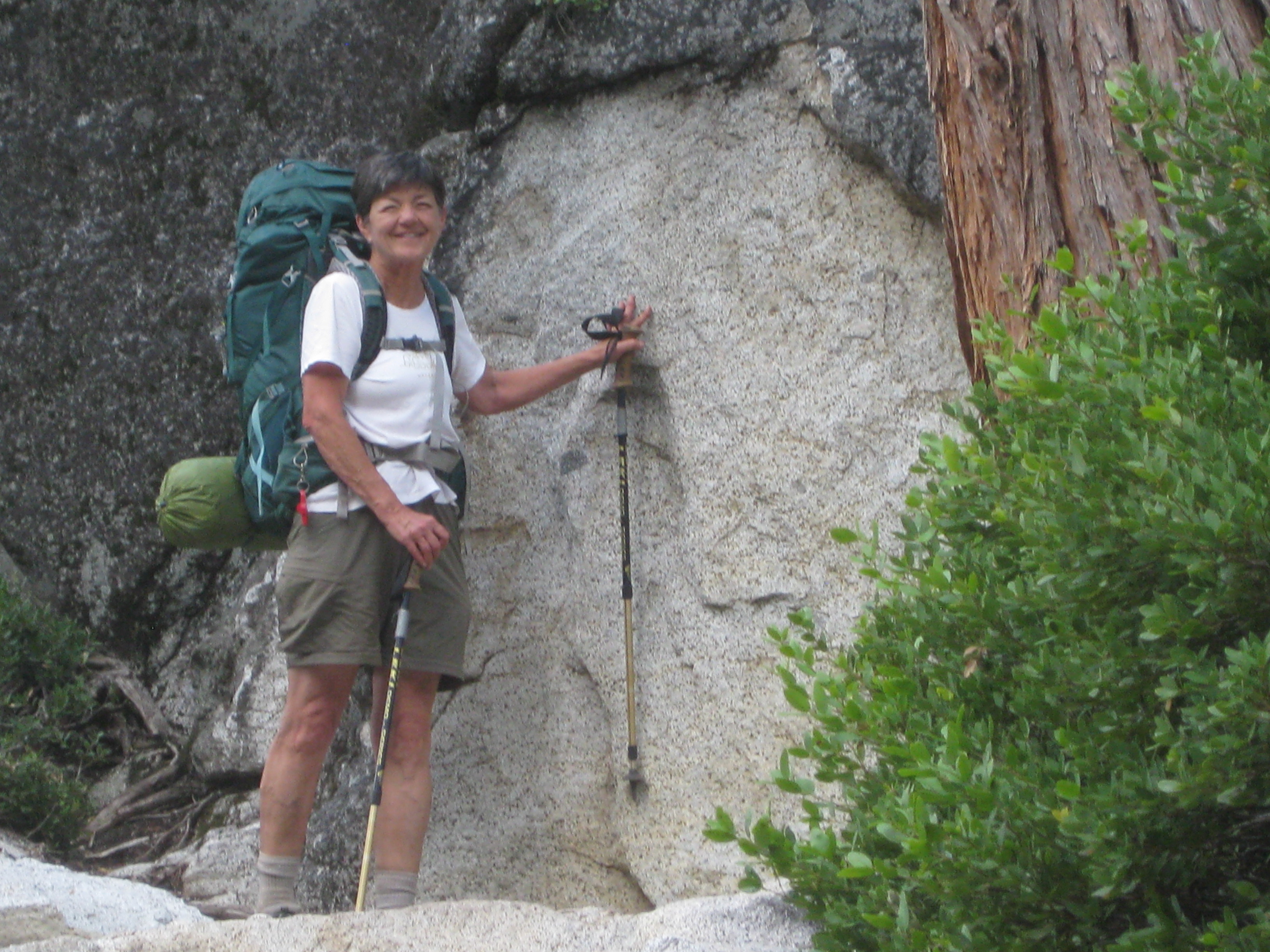
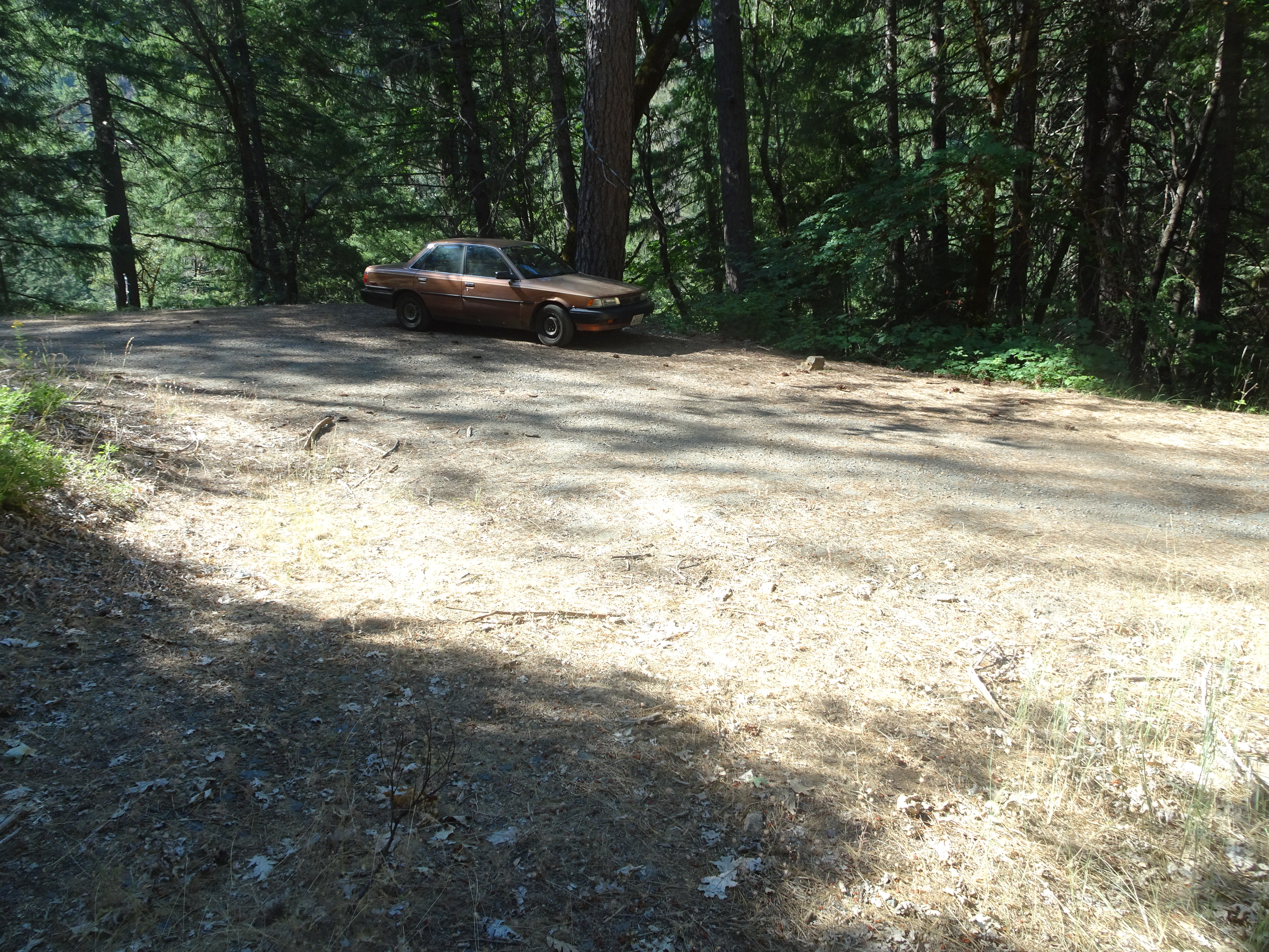
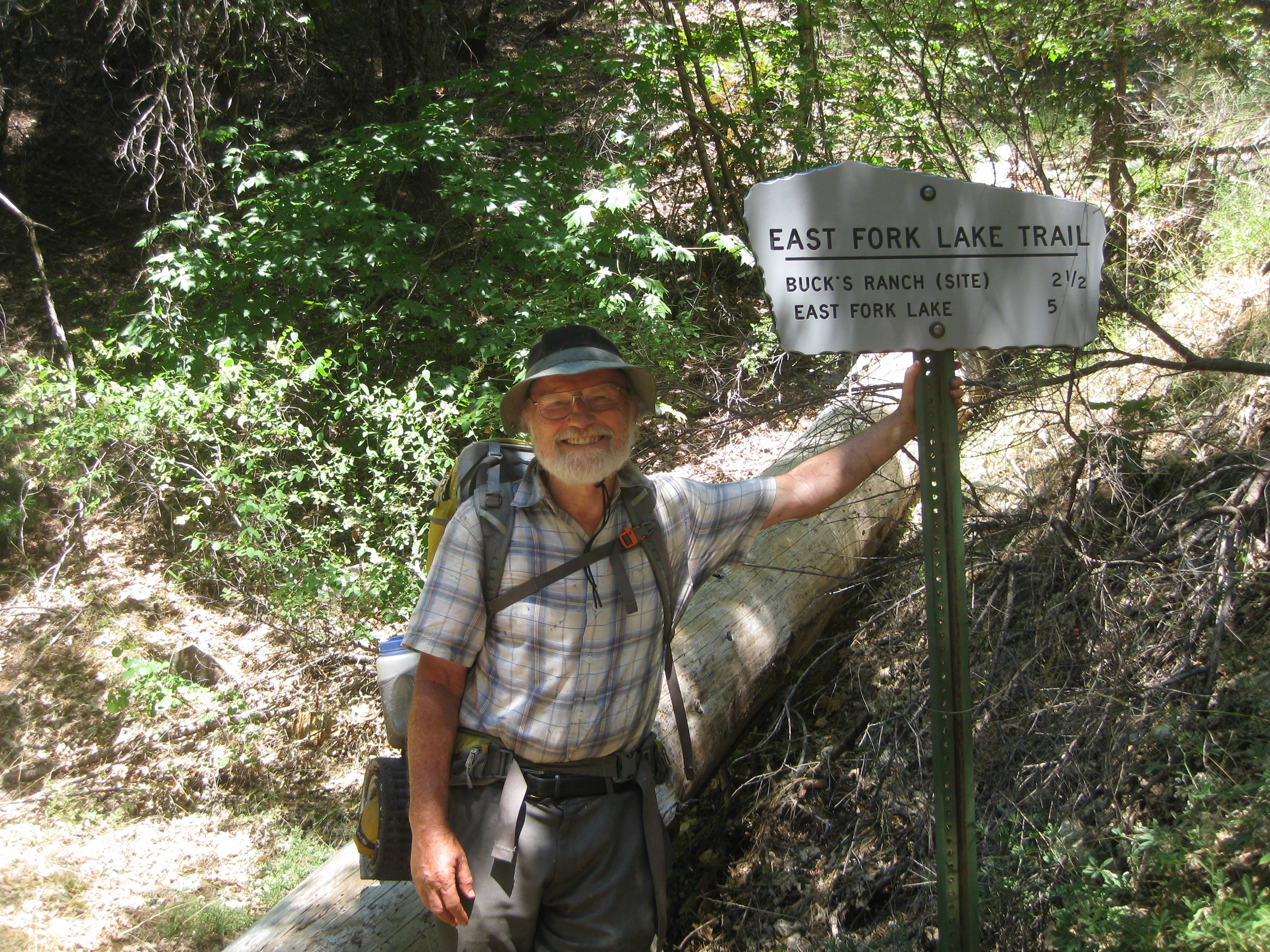
We missed a left hand turn going there, recovered, then drove right by the "parking lot" and trailhead. The parking lot consisted of a shoulder on the dirt road and the trail sign was not obvious (look closely to see it behind Reenie in the seccond picture). However, we got back to the parking lot - it could hold maybe 3 cars but ours was the only one. We would see no one for this entire part of our backpacking trip.
 |
 |
Now we re-packed the food, taking food from the bear cannister in the car and putting it in the Ur sacks, discovering that Bob had packed ALL of the fruit Reenie had dehydrated for the entire trip in the bear cannister, which is why we had only store bought dried fruit for the first part of our trip. We did decide to leave one of the packages of store bought dried blueberries behind.
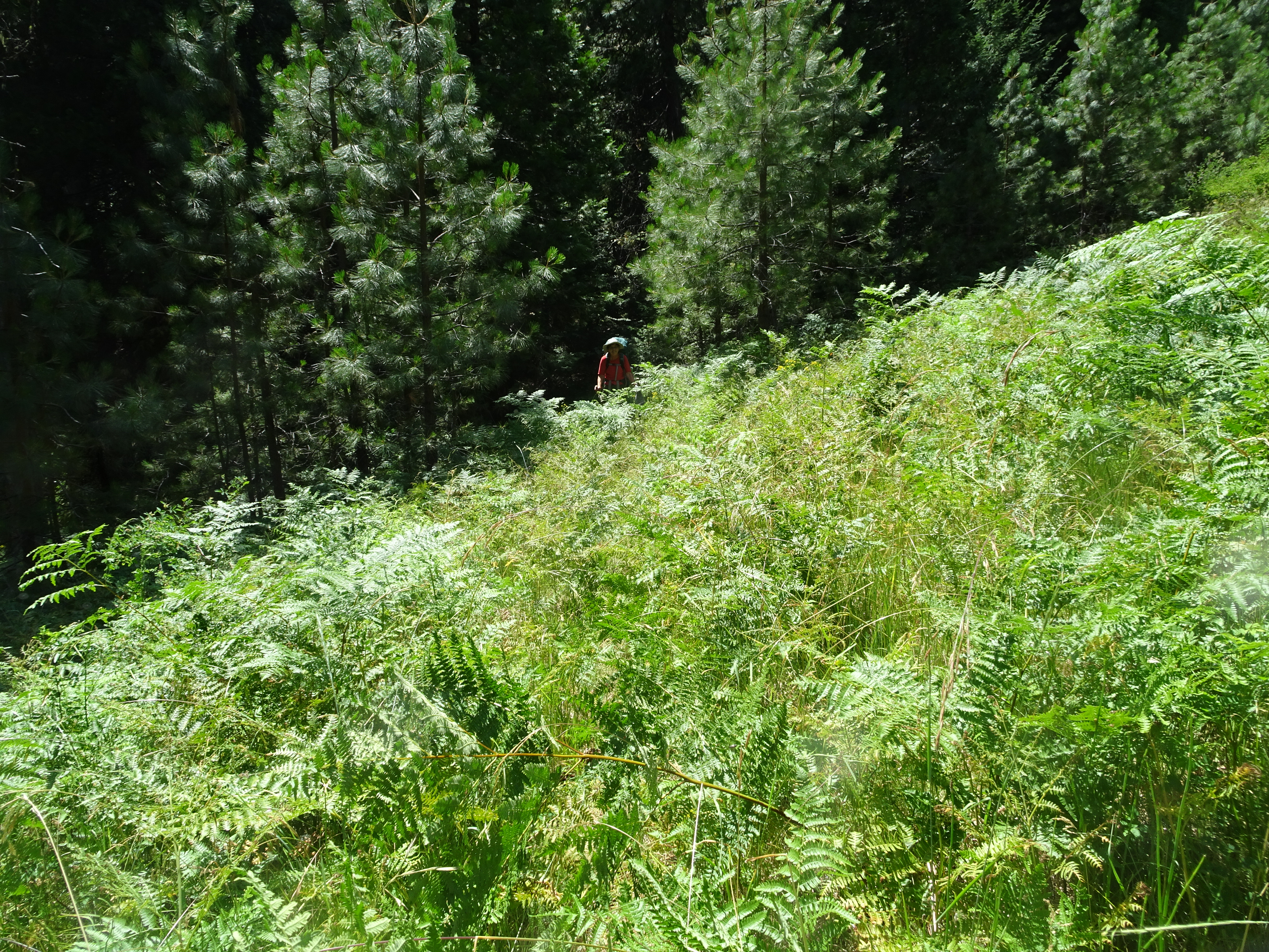
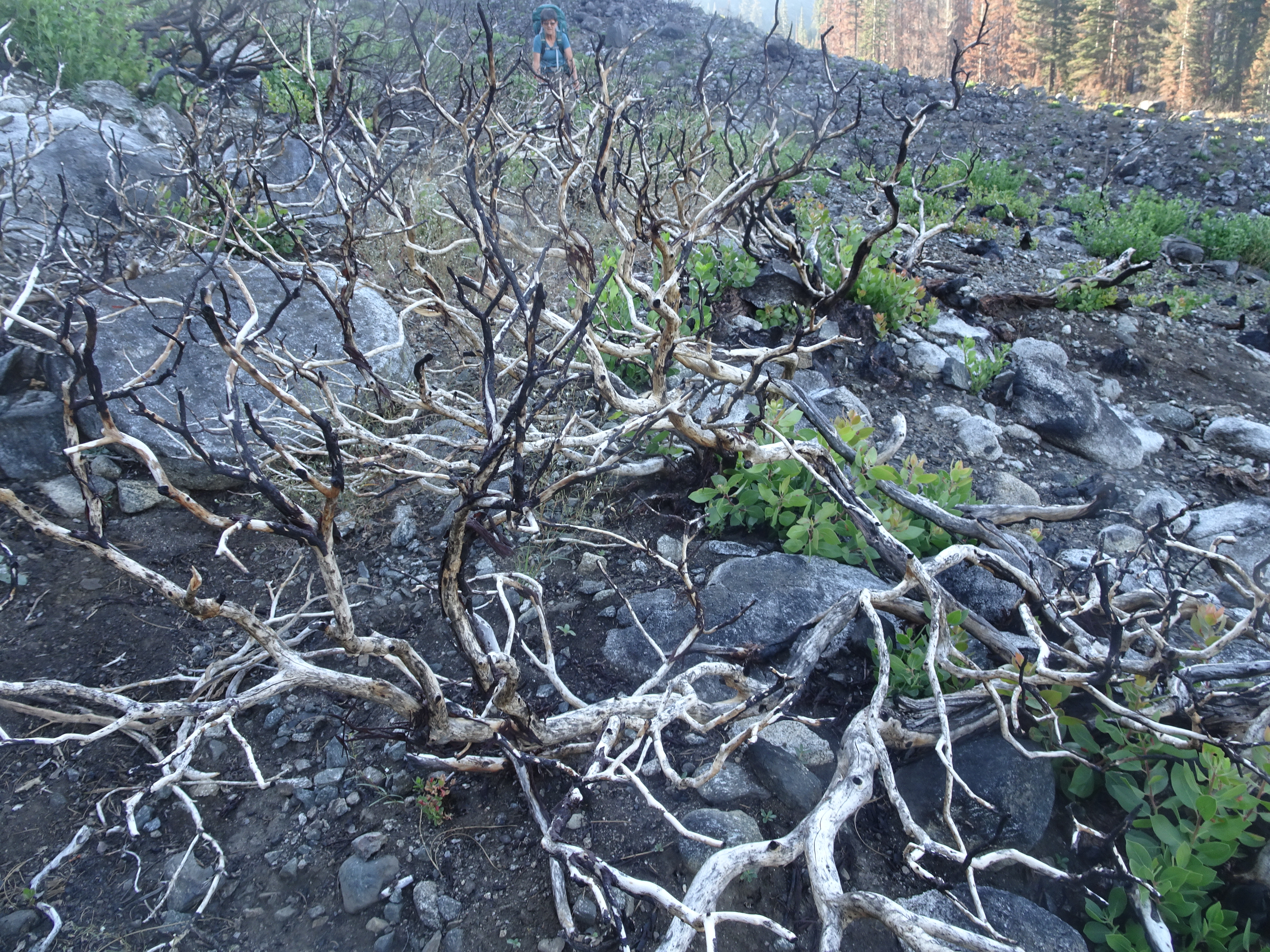
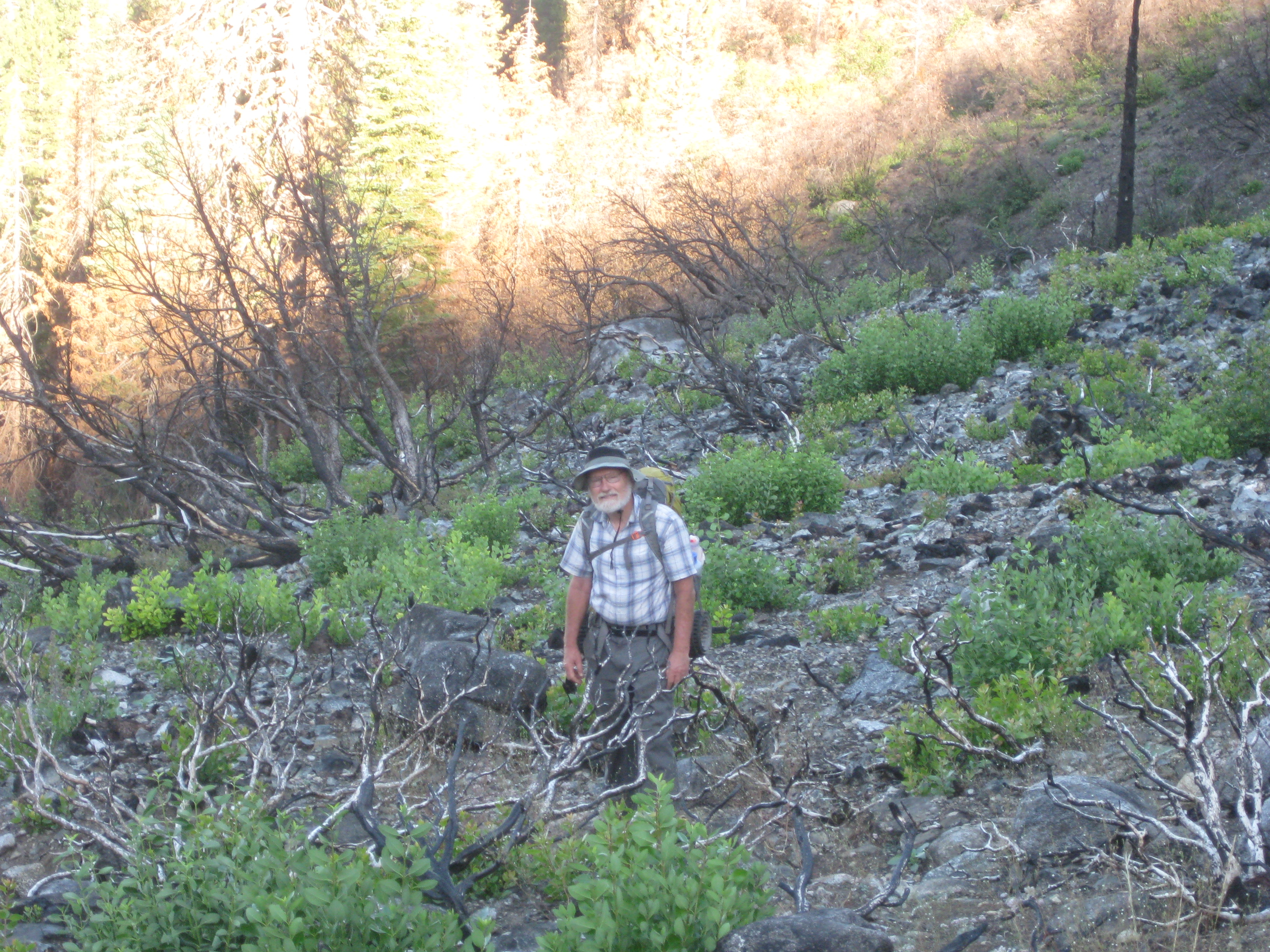
After getting over the food hurdle and also taking more weight out of the pack (gloves, coats, ropes, sweaters), we finished packing and started up the trail. It was to be a grueling, 2.5 mile, hot hike. The first mile had about a 45 degree slope in some places and in other places the path was indiscernable.
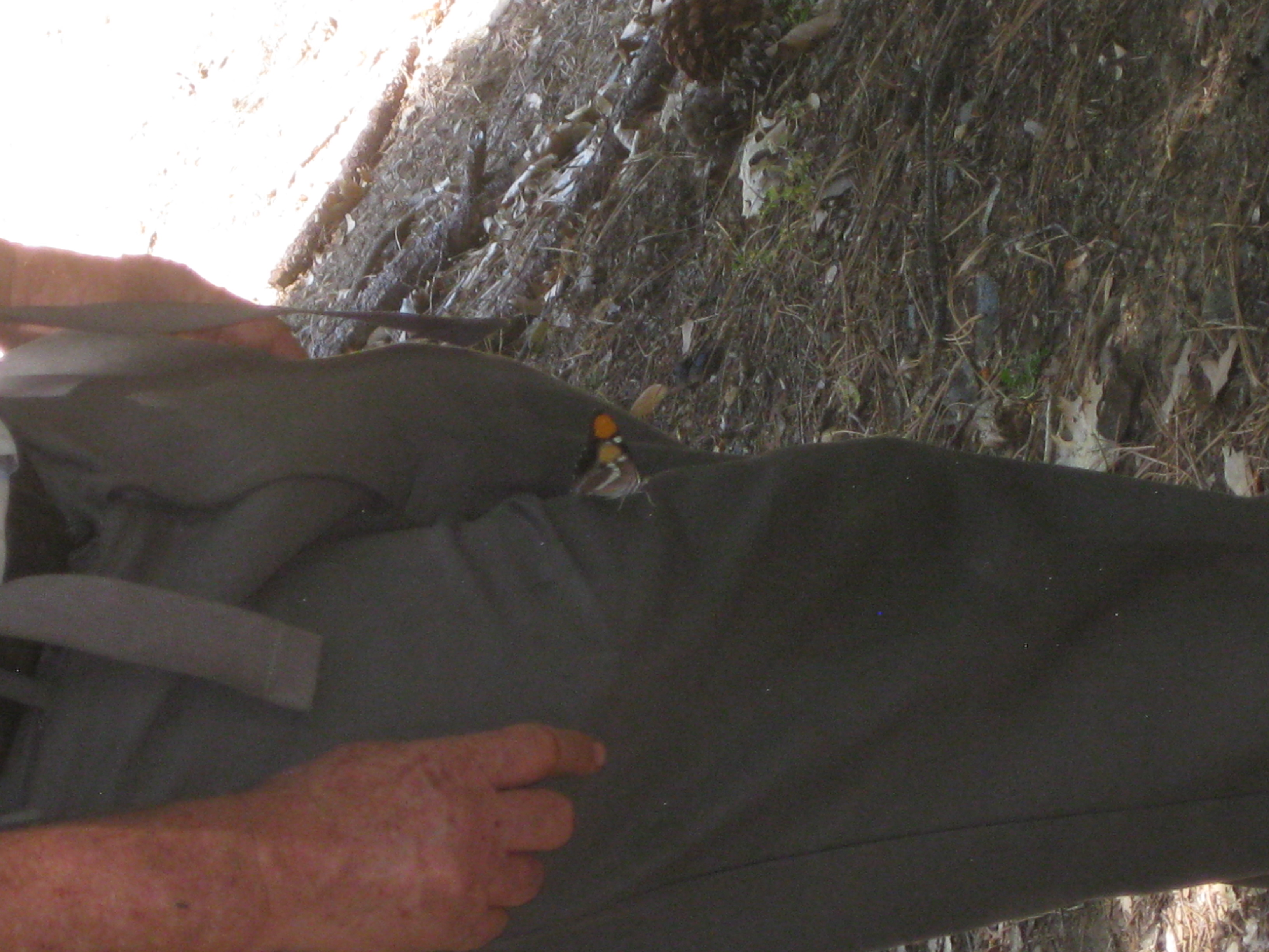
However, it is springtime in the Alps, so there are both lots of flowers and lots of butterflies, one of which landed on Bob's leg (click on image to see full photo).
 |
 |
 |
Finding the Buck Ranch campsite was difficult. As we thought we were getting near, the trail once again became quite steep (a book with a graph had shown us going downhill at this point, but topo maps showed the opposite, which was the case). Even though the trail head listed it as a destination in 2.5 miles, the trail disappeard as it got into ferns and there was no indication when we got back onto the trail of where it might be. Note that Reenie is in fact in the first photo on the steep path (click on photo to get full, high resolution version).
 |
 |
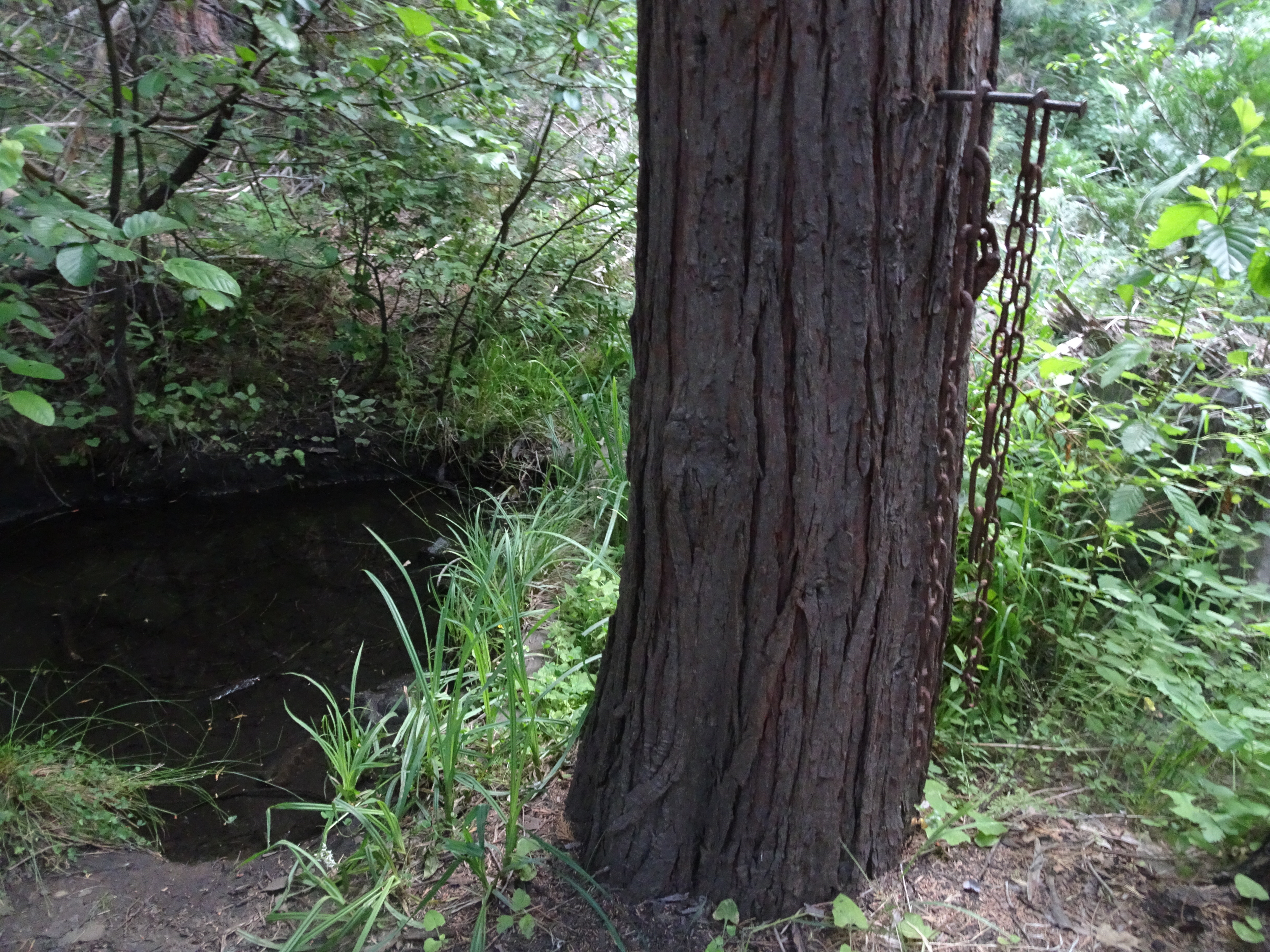
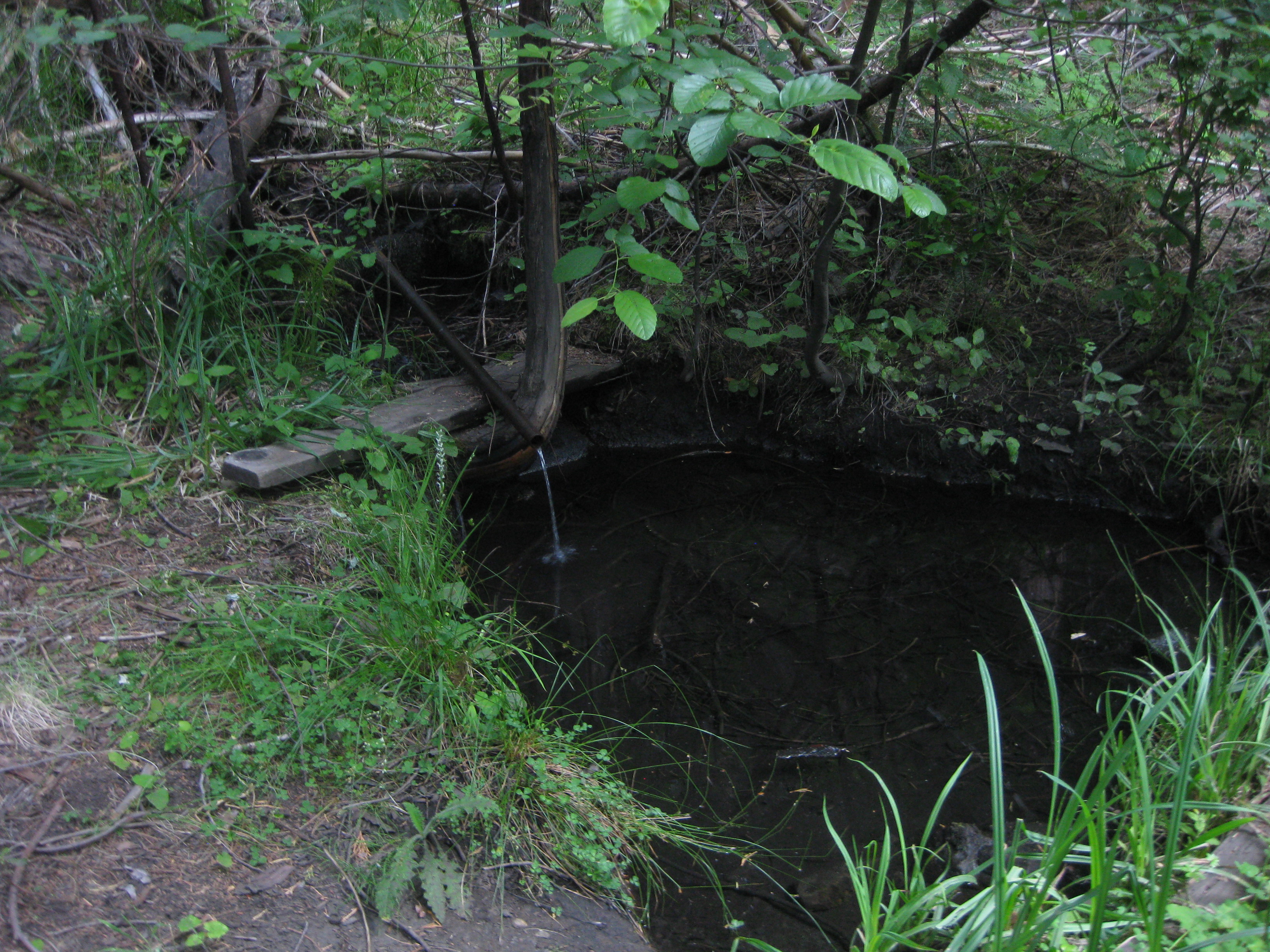
We did discover a small water runoff in the ferns that we guessed was from the spring at the camp, so followed it up and finally got to the camp.
The water source at the camp was a puddle fed by an old pipe out of which water continually dribbled. But it was drinkable. There were lots of mosquitos and flies, along with rusted old metal pieces no doubt left from long ago. We gave the campsite a 1 star rating.
We took off our packs, managed to find the trail, and hiked 1/4 to 1/2 mile looking for an alternative. Although we did cross an actual stream, there was no place to camp, so we returned, set up our tents, purified water using our Steripen, ate cold food and made lemonade (thank you Reenie!). [If you click on, and zoom in on, the second photo you can see the pipe and water]
 |
 |
 |
The night was hot, but we did get to see bats flying over our tents and a deer came nearby. Reenie thought she heard animals coming for water during the night. As usual, Reenie had set her tent up near the running water, but, unlike a stream, this running water from the pipe simply sounded like a broken faucet as it dribbled into the puddle.
Backpack from Bucks Ranch camp to camp at East Fork Lake.
Videos:
Elevation Profile (understates distance):
 |
Dinner: Vegetable yellow curry plus apples, cashews, sunflower seeds, peanuts, coconuts and raisins, served over white rice
Diary:
We left the camp at 7:20 in the morning for a 2.5 to 3 miles backpack up to the East Fork Lake after taking a couple of more photos of the camp (chains hanging from a tree and the awful dripping pipe).
 |
 |
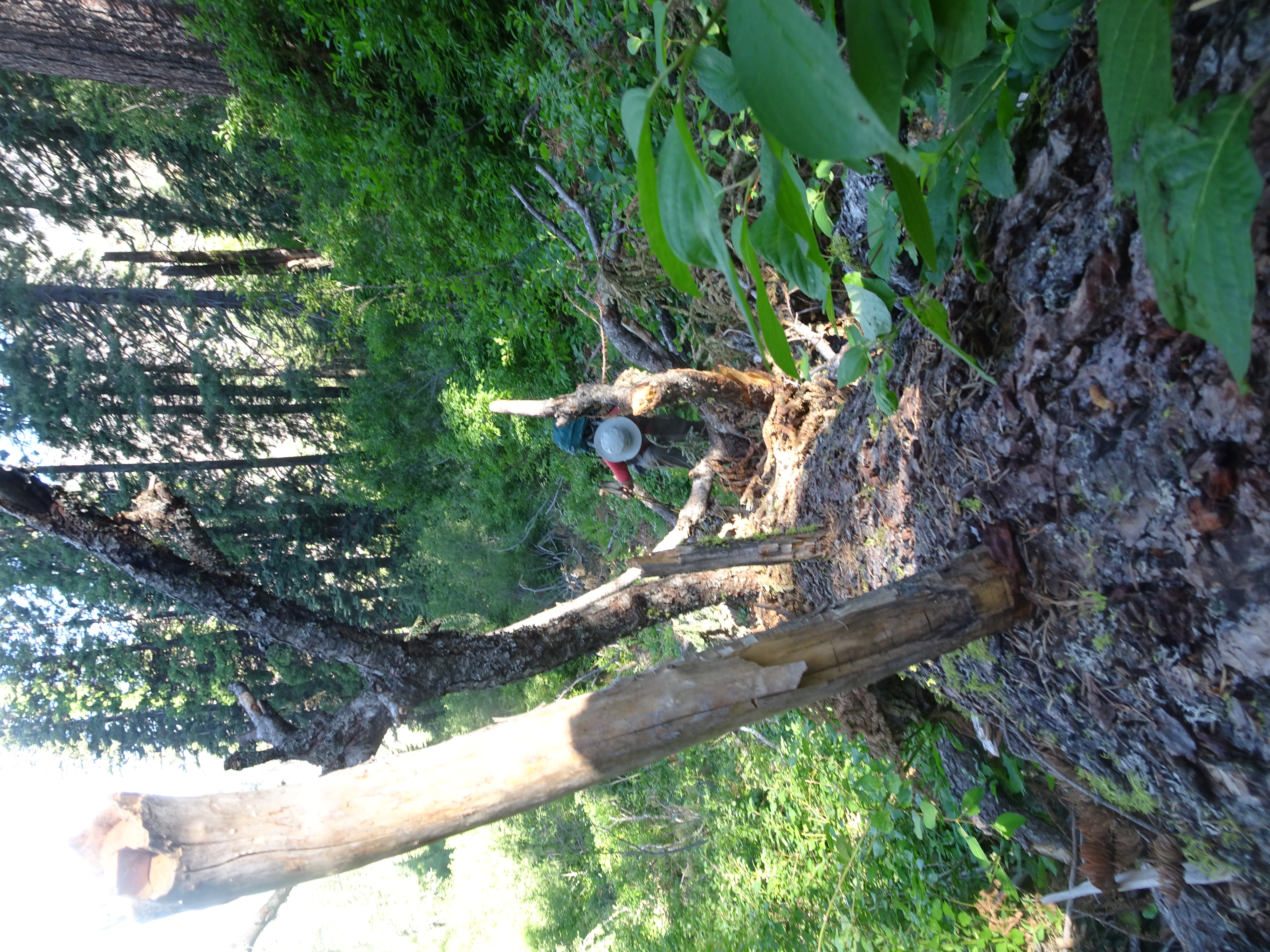
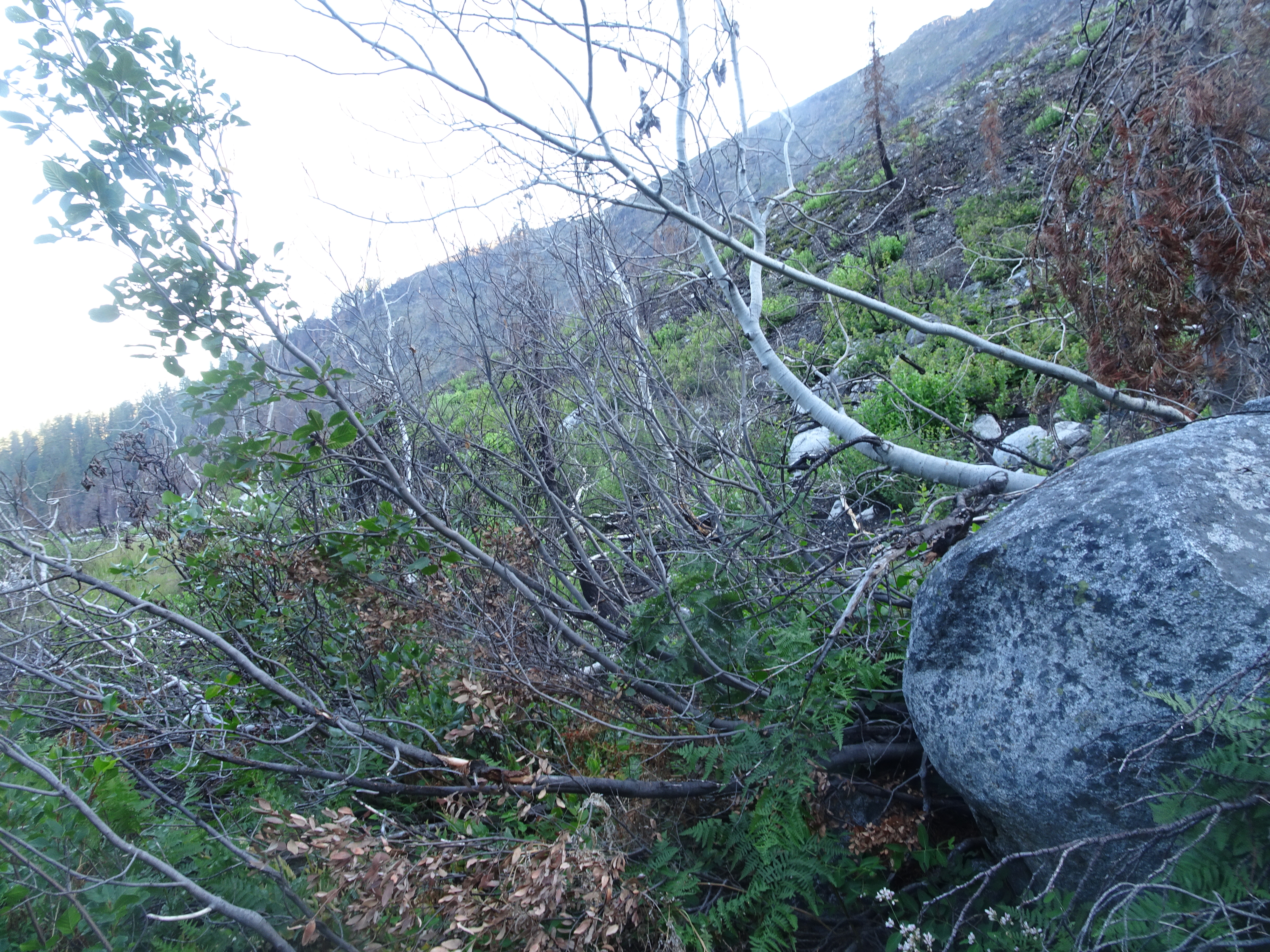
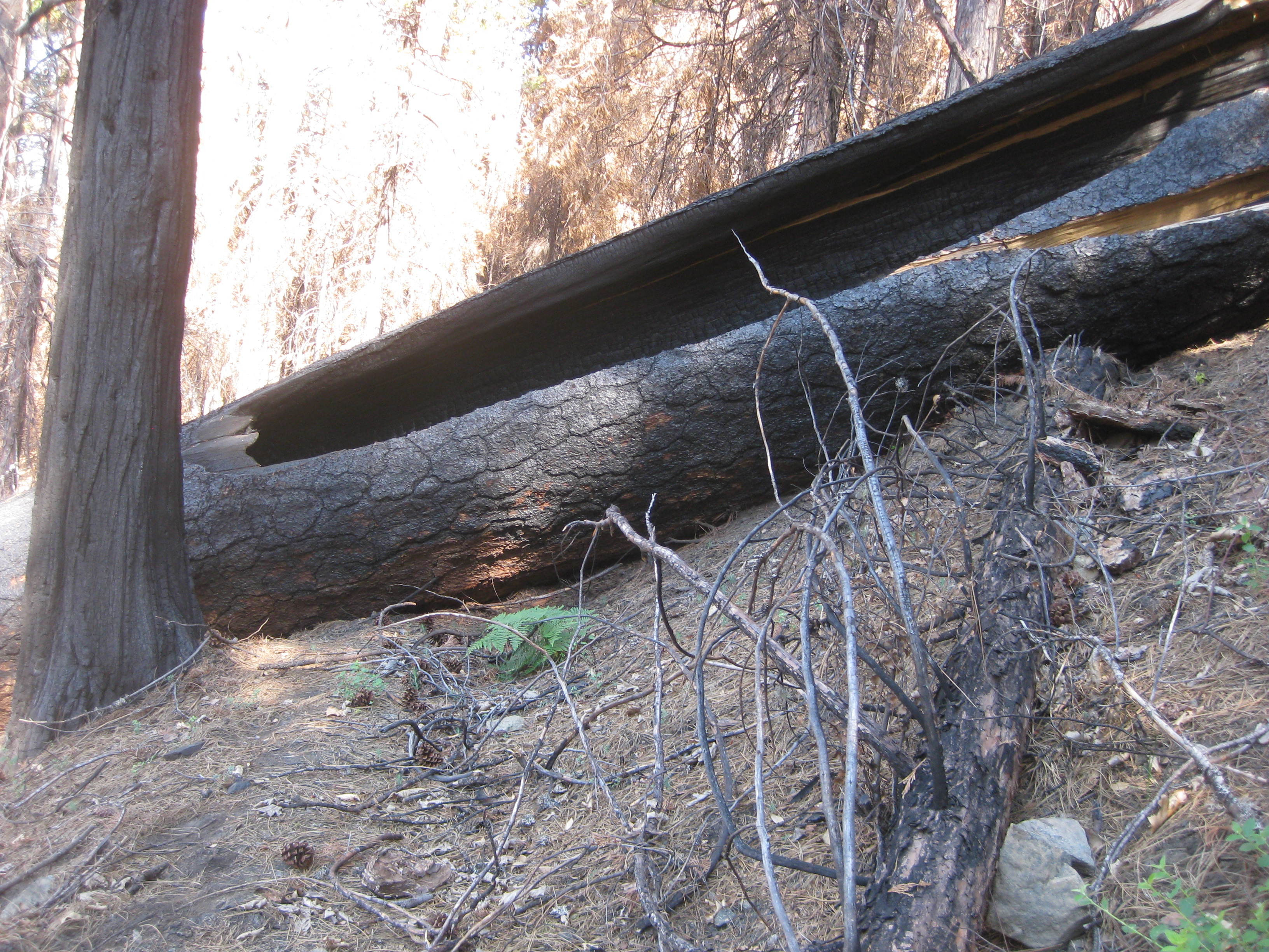
There were so many gnats getting into ears, eyes, nose and mouth as we backpacked. There was a massive Ponderosa pine fallen across the trail on a steep slope. It was too big to get over and difficult to climb up the slope to get around it.
 |
 |
 |
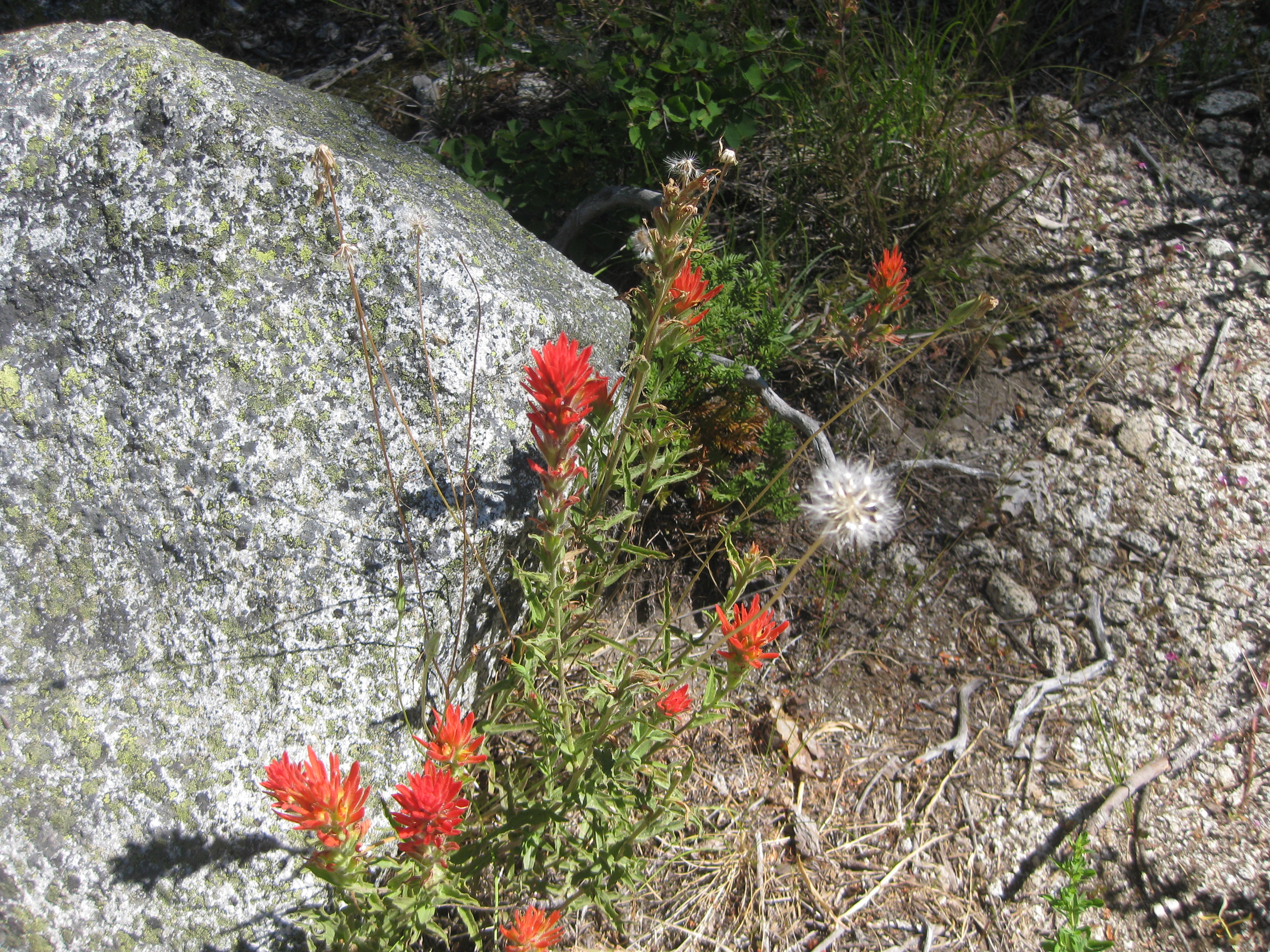
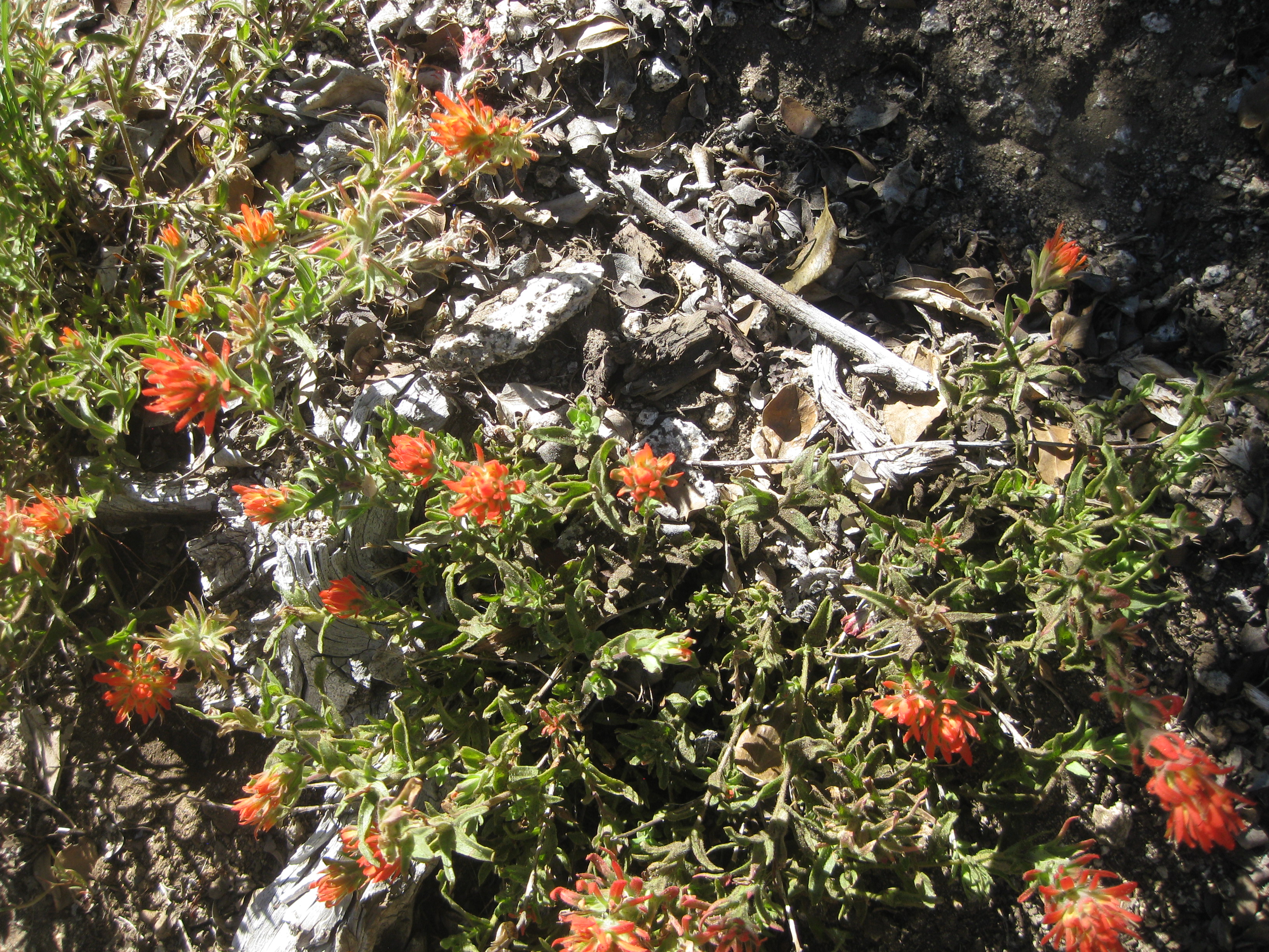
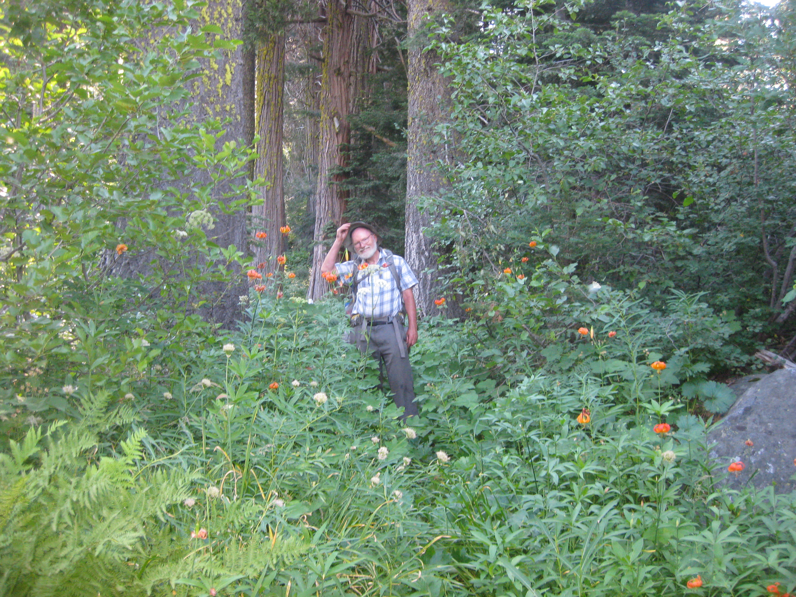
Of course, spring time flowers continued to be in abundance.
 |
 |
At other times the trail would simply disappear and we depended on Reenie's GPS to help guide us. At another point in the trail, a massive tree had fallen along the trail, completely covering it with no way around, so we had to get on the log and climb up it with full backpacks.
 |
 |
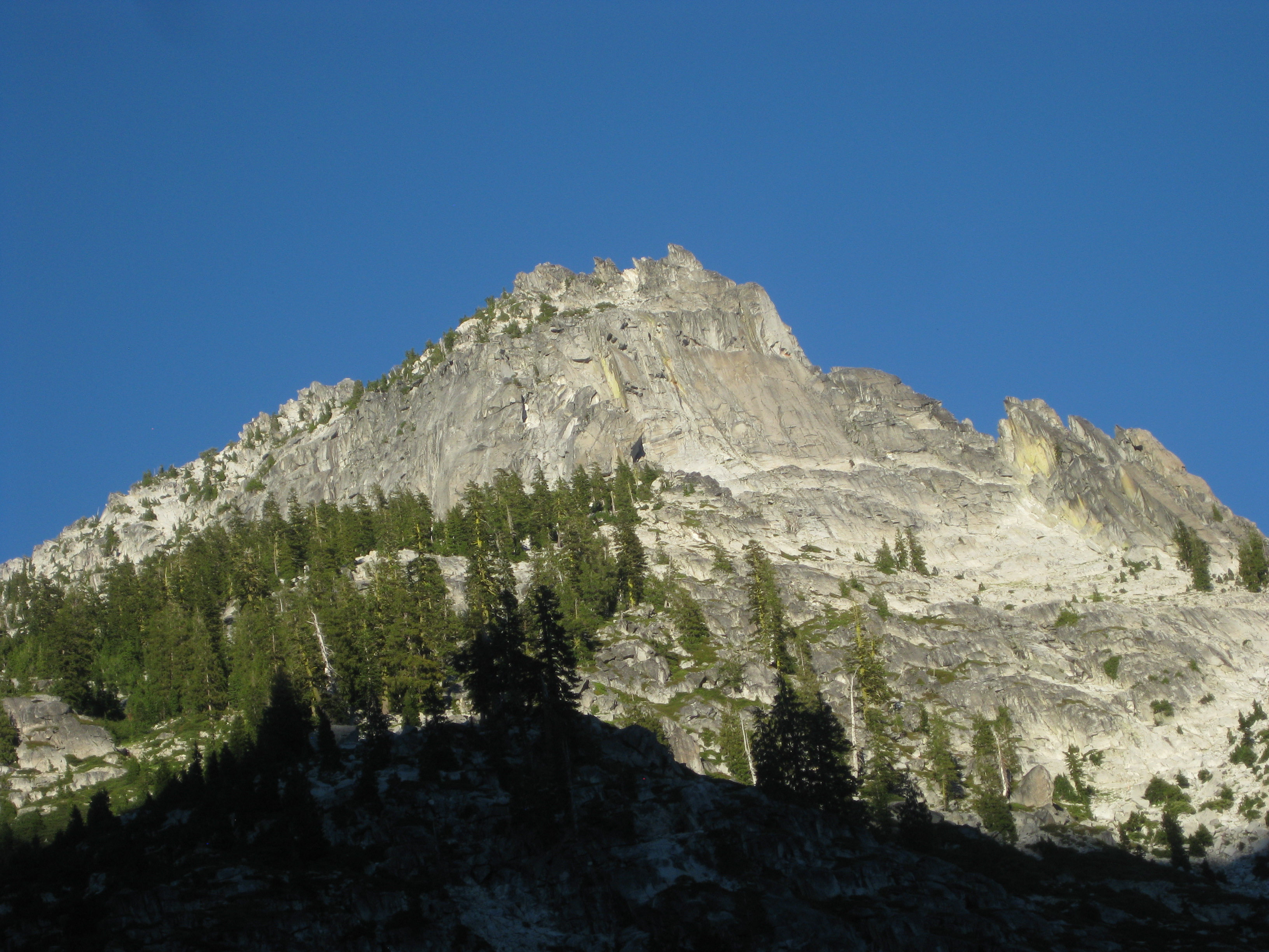
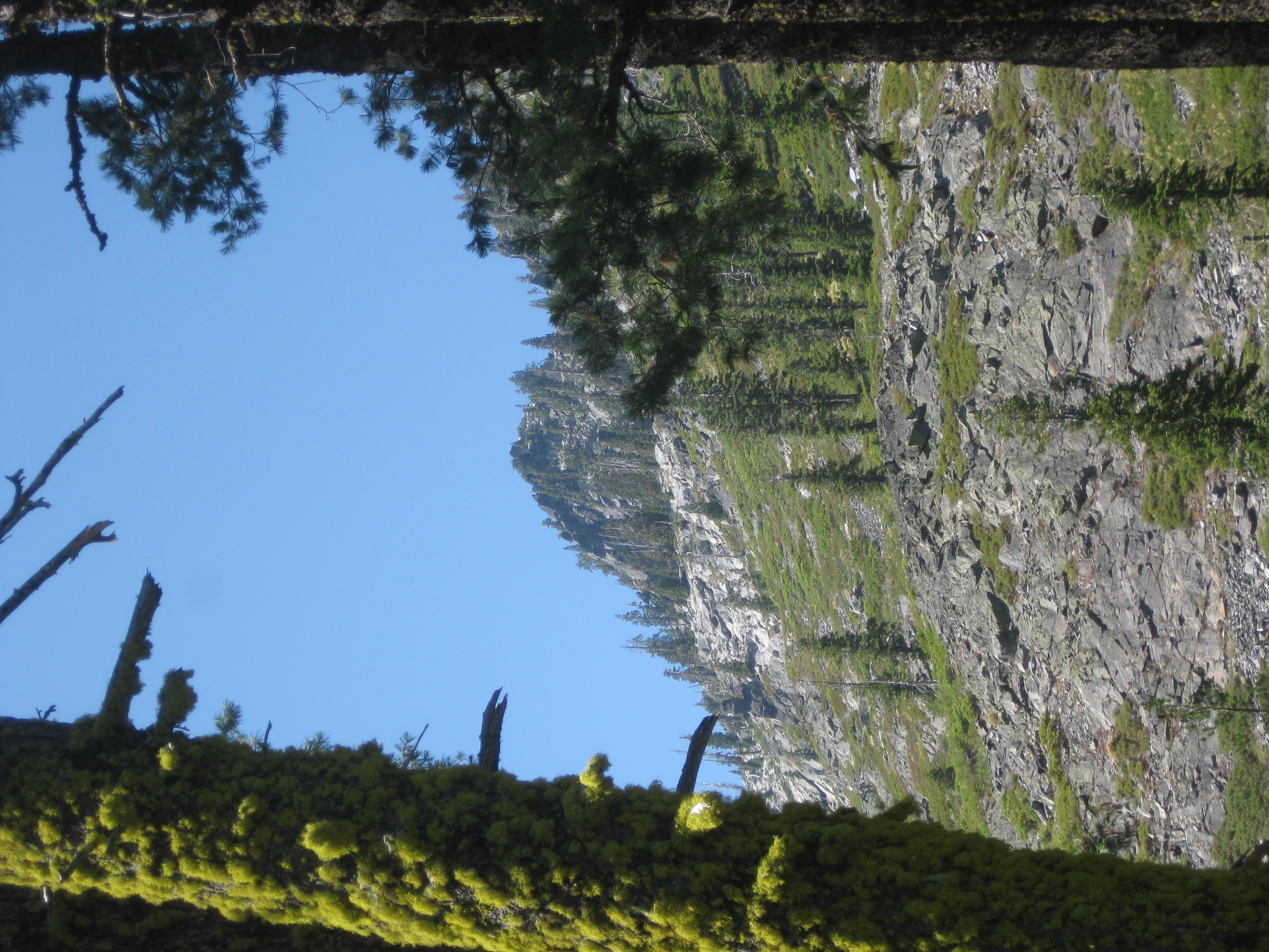
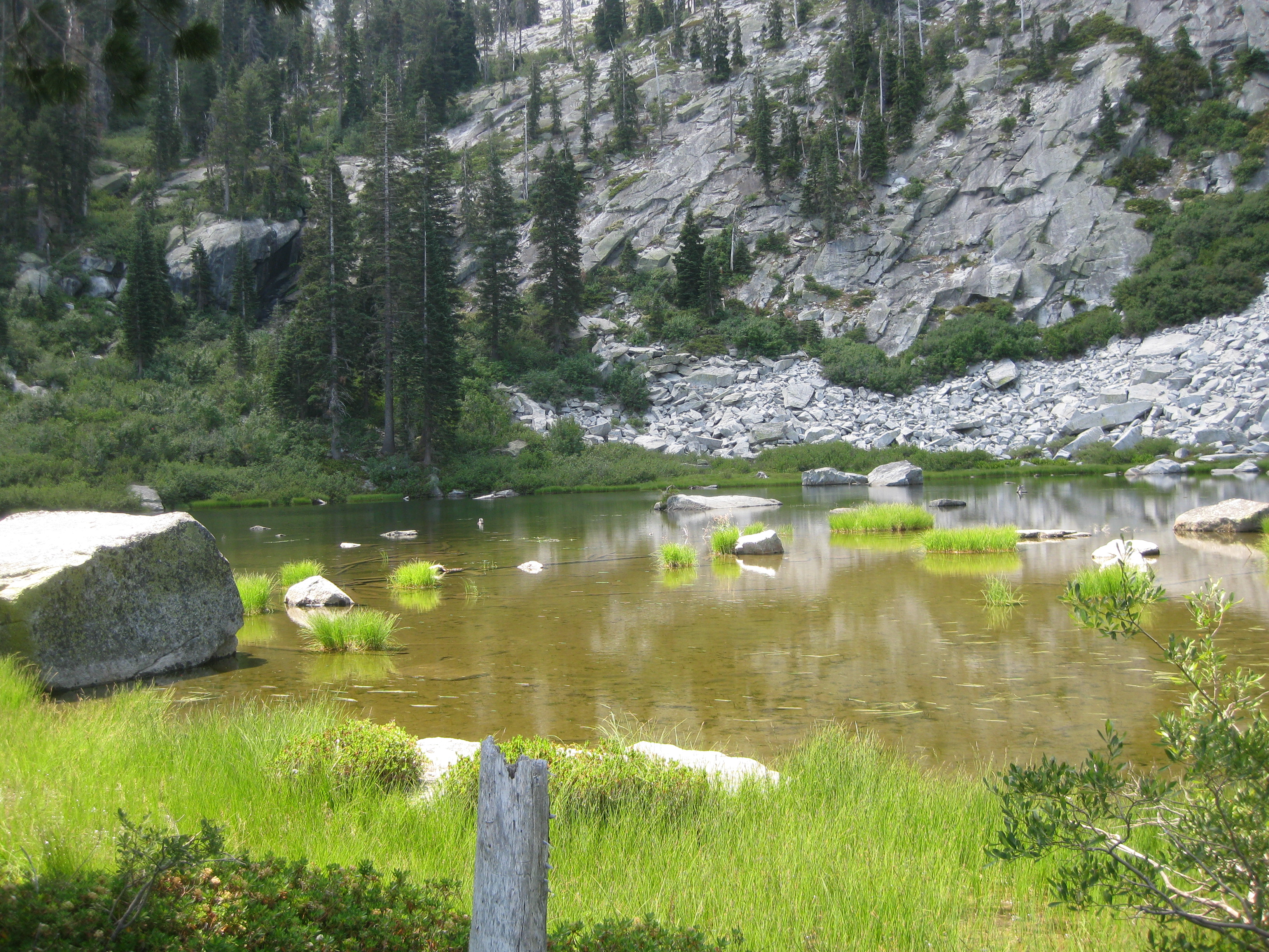
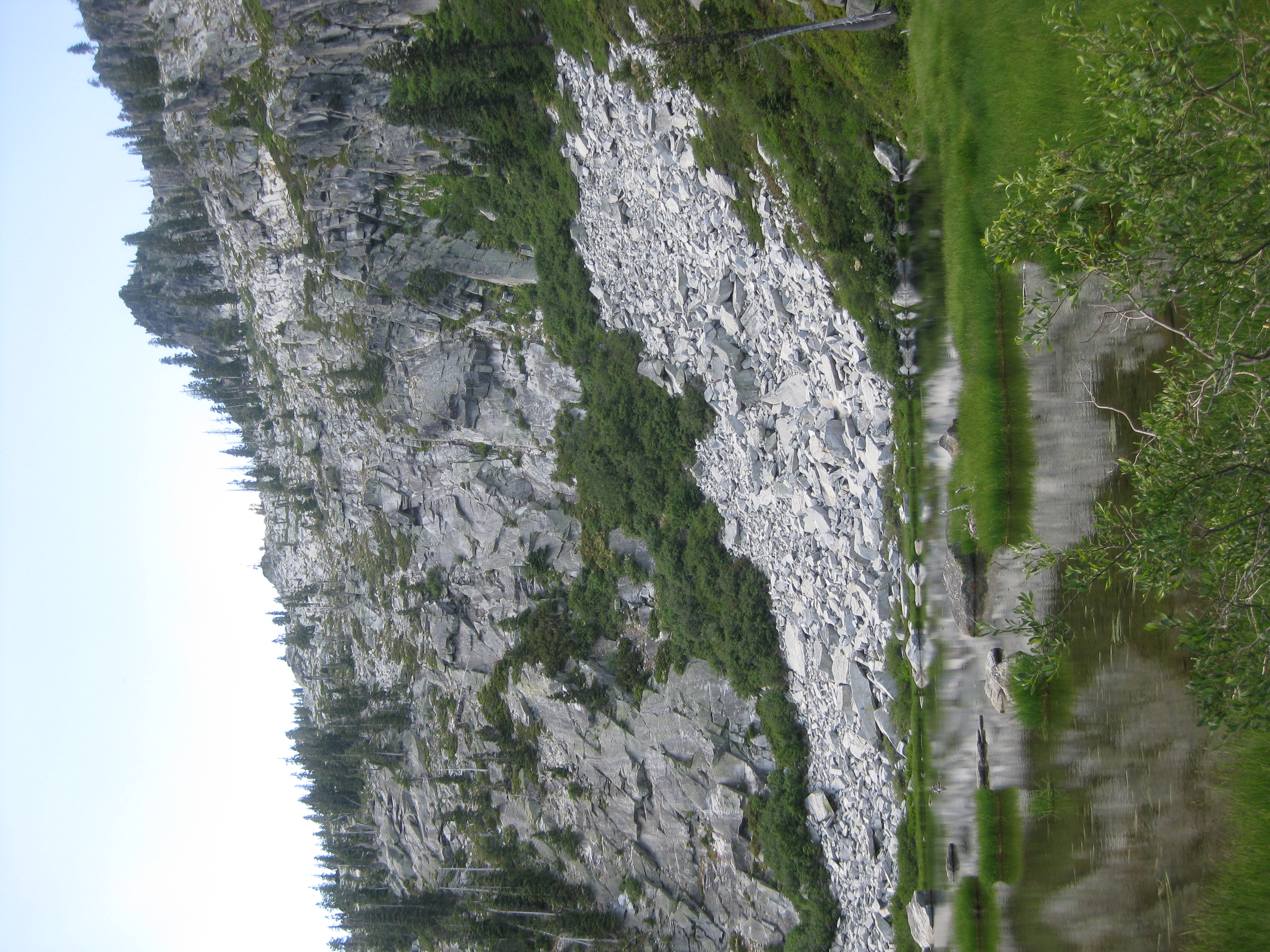
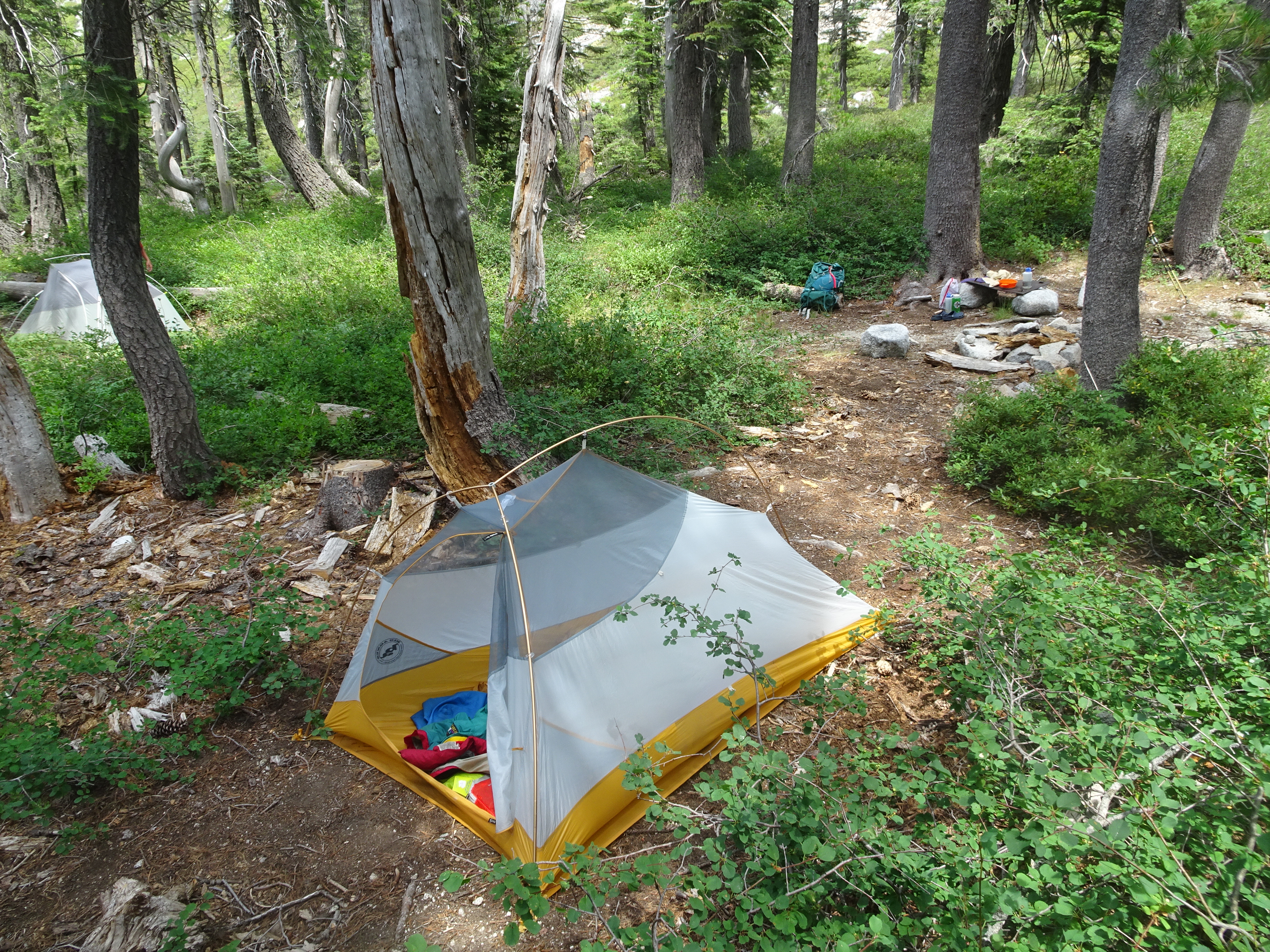
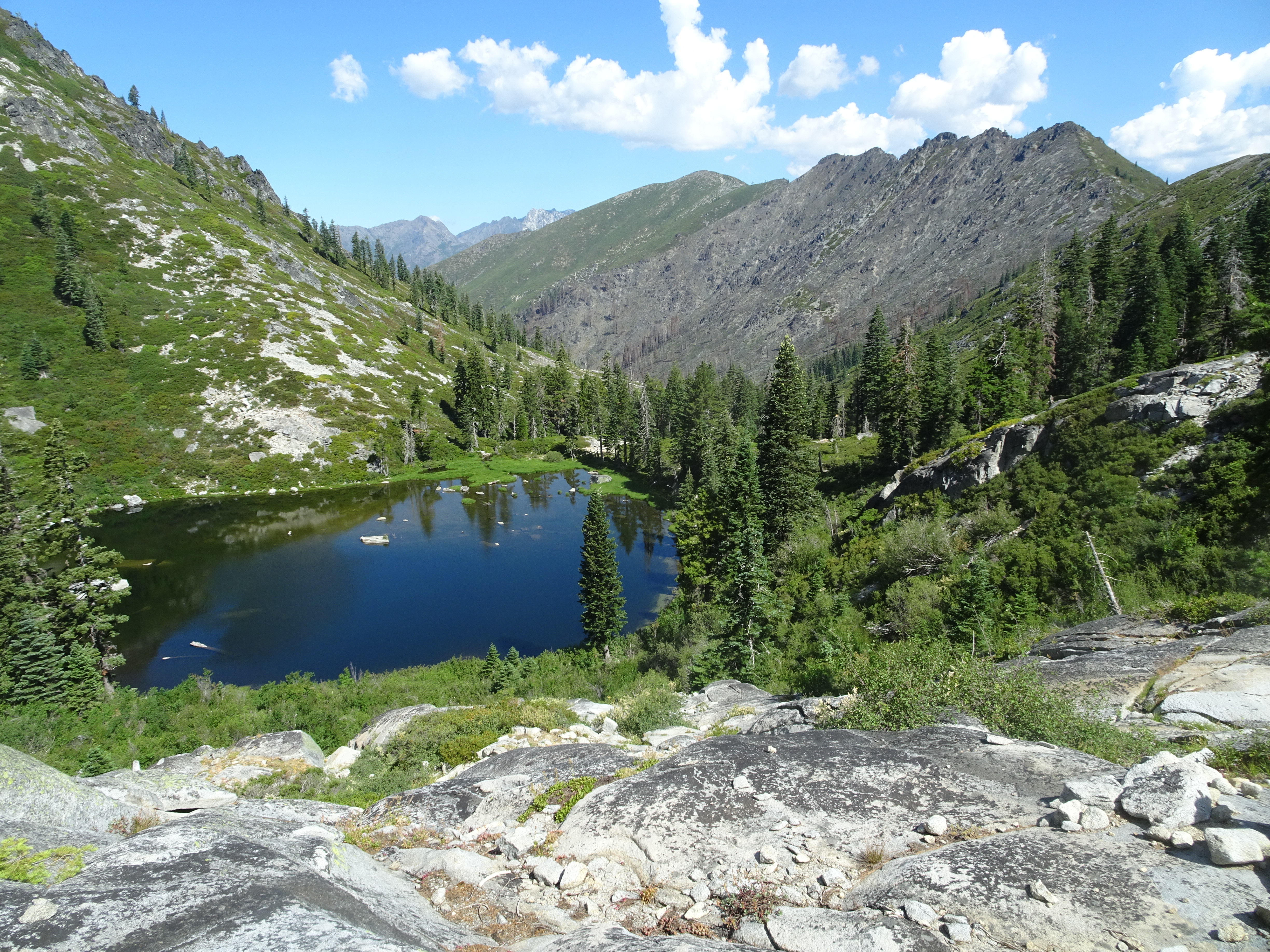
By 11:45 we were at the lake and found a beautiful campsite with a running stream next to it. Such a wonderful change from the last campsite. The campsite was below the lake, so after dropping off our packs we went up and visited the lake. The cirque around the lake made for spectacular scenery, particularly with some of the very dark granite that stood out.
 |
 |
 |
 |
 |
 |
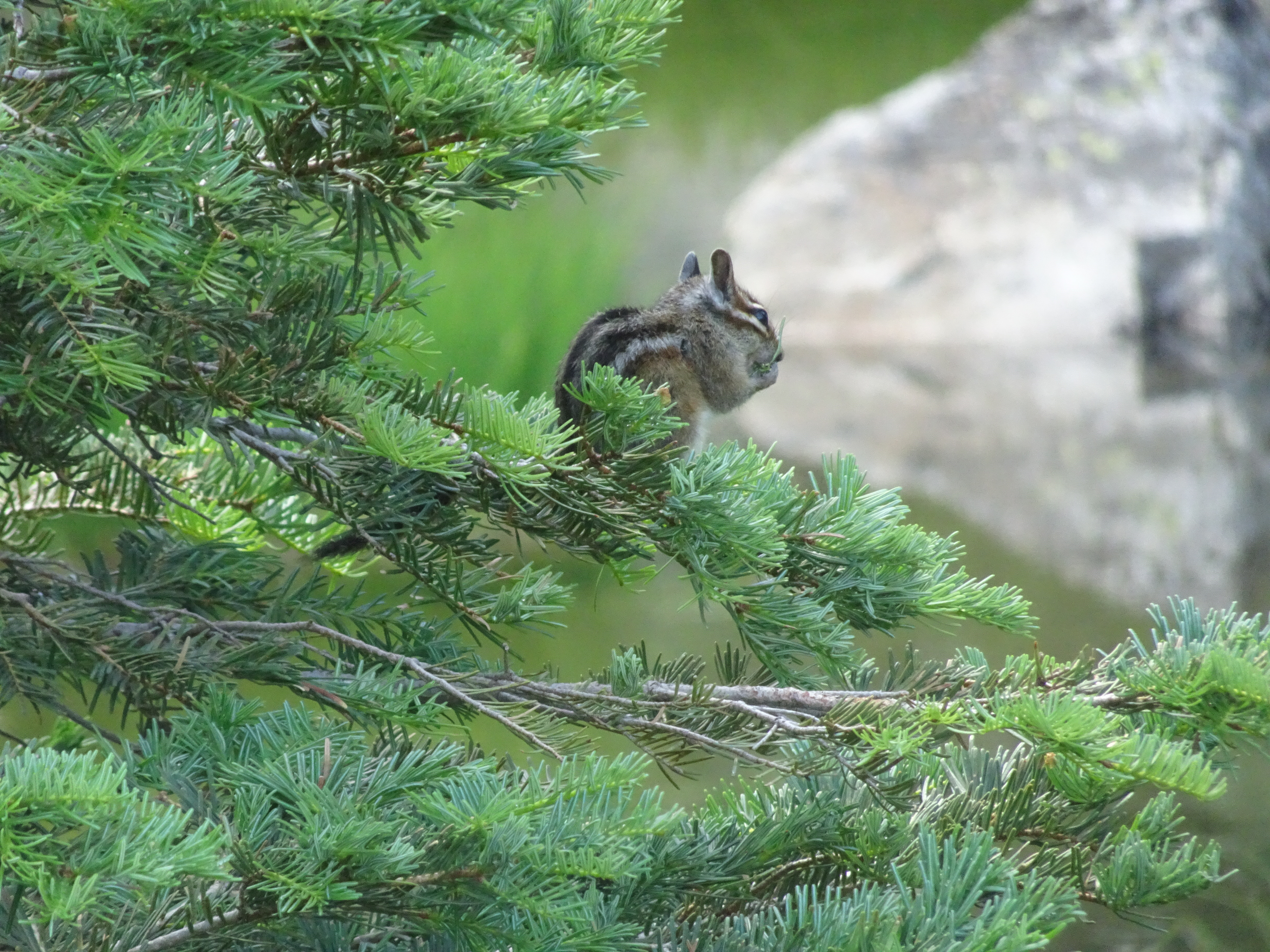
We also saw a chipmunk eating in a tree. See the picture below! Did you watch the chipmunk video above? BOTH of them? Just click on the picture and zoom in to the full resolution version to get an even closer look.
 |
On the other hand, Reenie continued to be bitten by mosquitos and/or flies (Bob has found he is much less desirable to such insects, especially when there is a backpacking partner).
We came back to our camp for an excellent lunch of salmon, smoked Gouda cheese, Triscuits, dried fruit of all types (Bob says thank you Reenie for all your dehydrating!), and nuts.
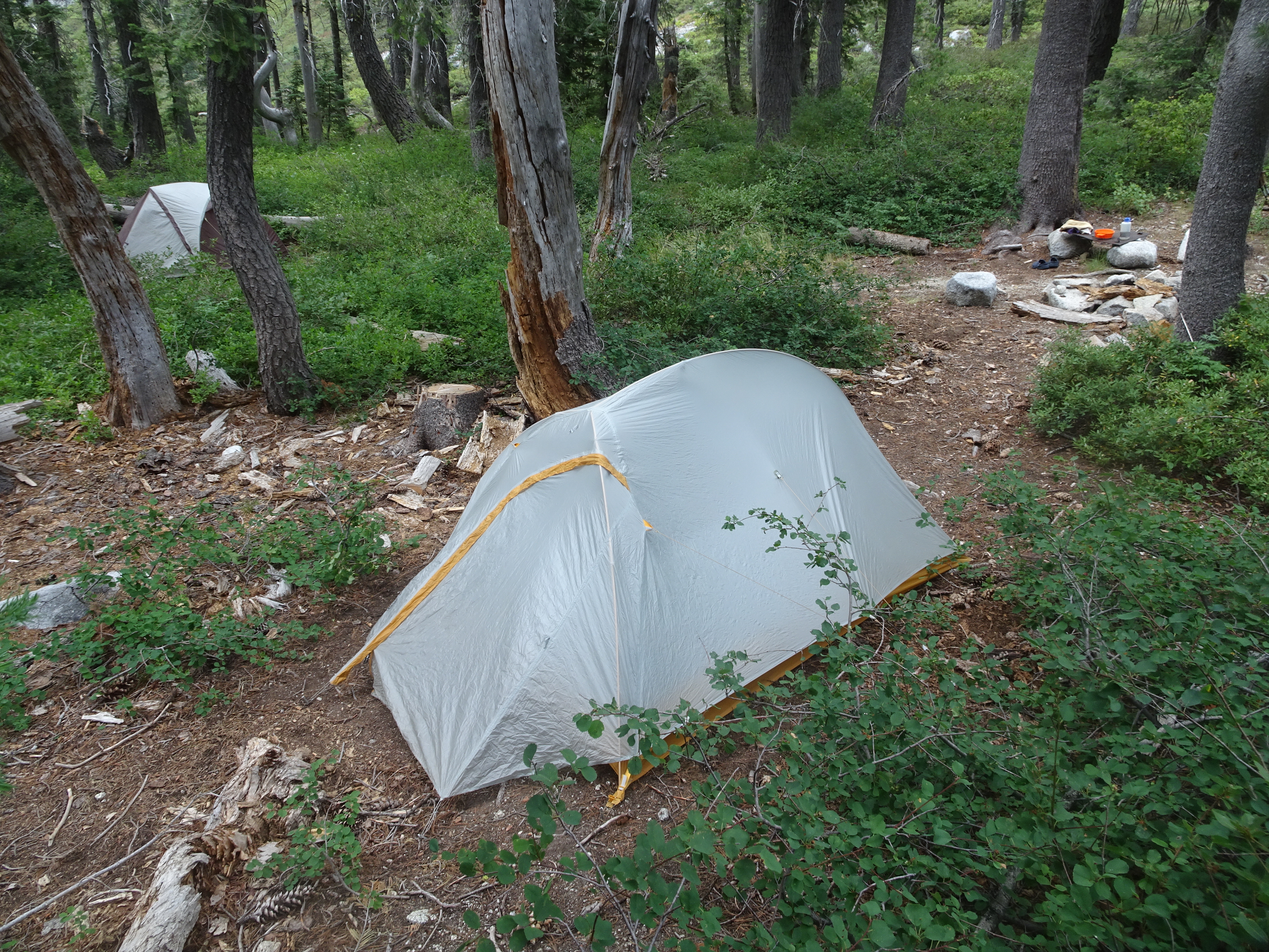
Then we put up our tents. Dark clouds were rolling in and we heard thunder, so we covered each tent with a rain fly - just in time.
 |
 |
As we got into our tents, a refreshing, cooling rain began to fall as the storm hit. It was so nice to have the temperature drop!
After the rain had stopped and we got out of our tents, it seemed odd that the ground was quite dry. Apparently the on-going draught has so dried the ground that it instantly absorbs any water.
We day hiked to the ponds in the cirque above East Fork Lake and Bob hiked up the saddle in the ridge above the lake.
Videos:
Dinner: Jaipur vegetables with pineapple, tomatoes, and mushrooms over Spanish rice with toppings of peanuts and sunflower seeds.
Diary:
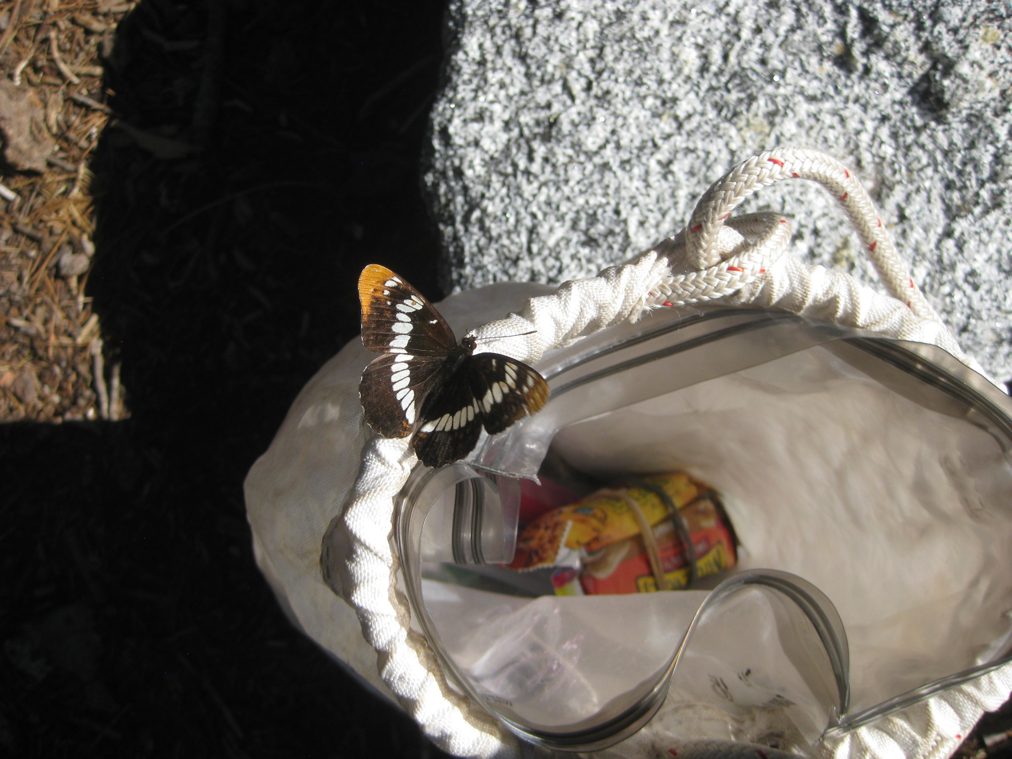
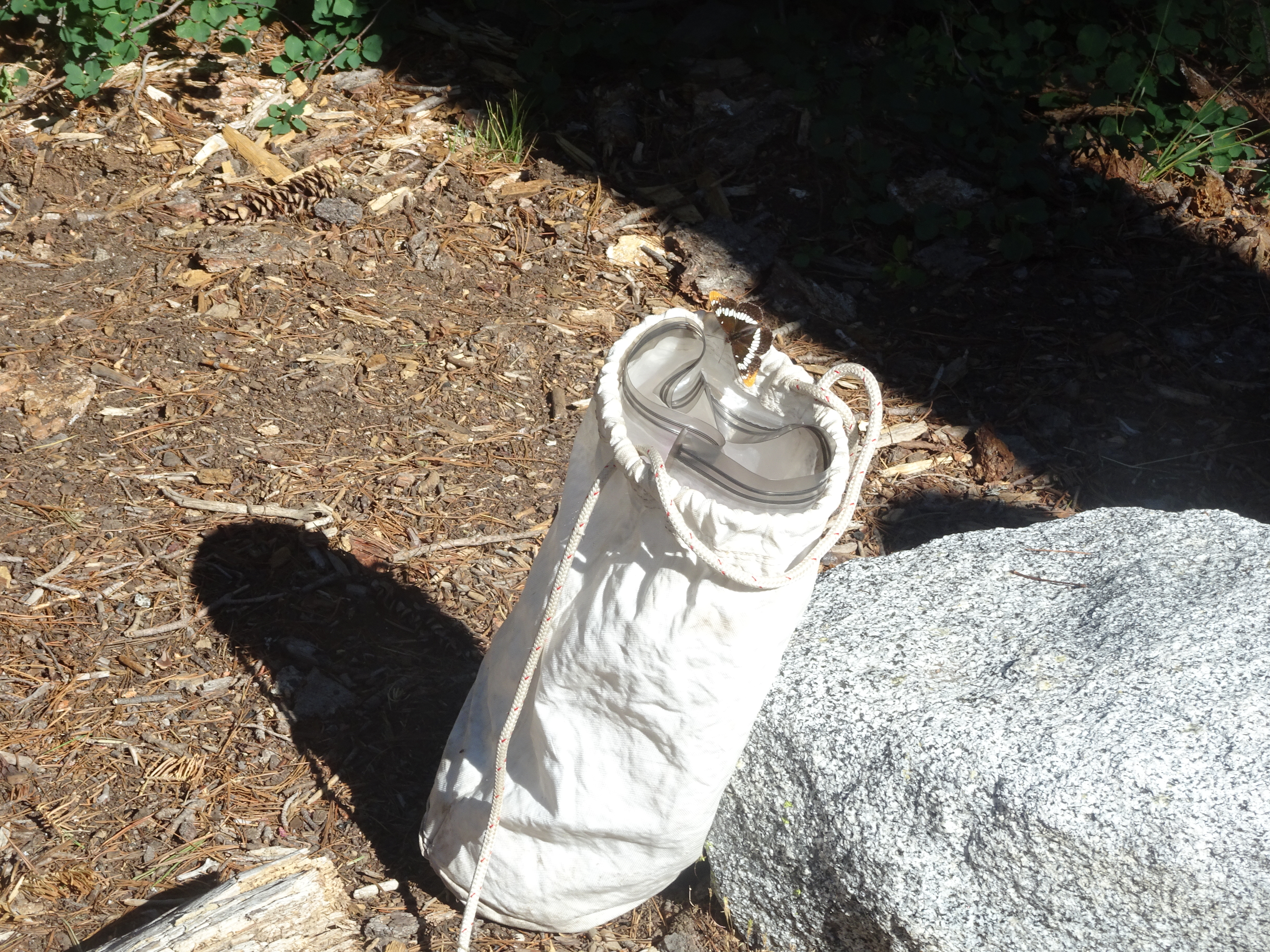
The morning began with a visit from a butterfly, who checked out our food bag.
 |
 |
 |
We hiked up to four ponds above East Fork Lake, fighting through manzanita thickets to get to tumbled rocks which we bouldered up to get to the ponds (slightly more than large puddles). Once up, we ate lunch.
|
 |
This is what the East Fork Lake looks like from above shortly after we started up. And, as always, there were plenty of flowers, the first one of which below Reenie found near the camp:
 |
 |
 |
 |
 |
 |
The first three images are of the first pond, the next two of another pond.
 |
 |
 |
 |
 |
Then Bob said he would like to scramble up to a nearby ridge saddle and Reenie agreed to wait. The first photo shows Bob near the start, the next two Bob is at the top. It took about 18 minutes for Bob to get to the top, where he took the four panorama.
 |
 |
 |
The following four panorama images show a 360 degree view from the ridge, beginning and ending with views that show the cirque above East Fork Lake.
 |
 |
 |
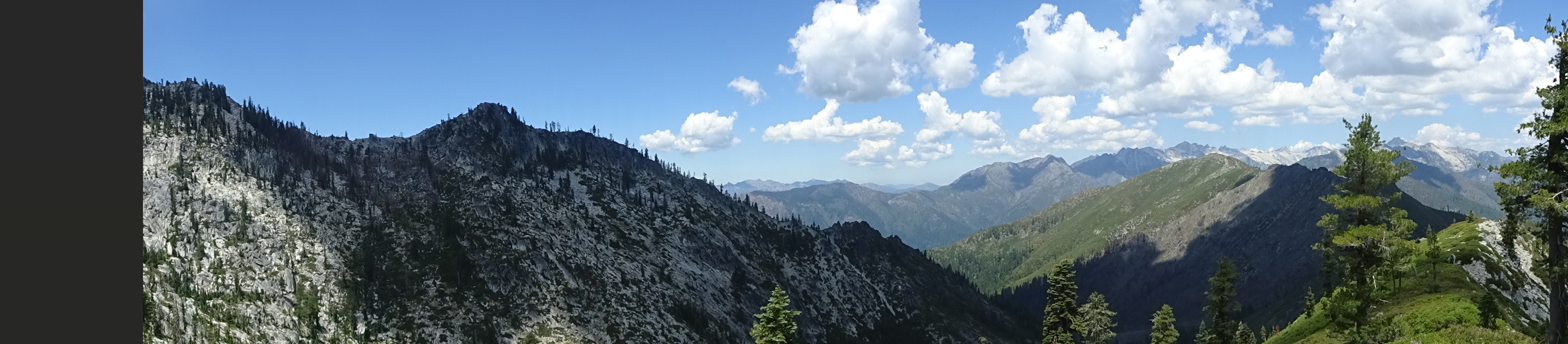 |
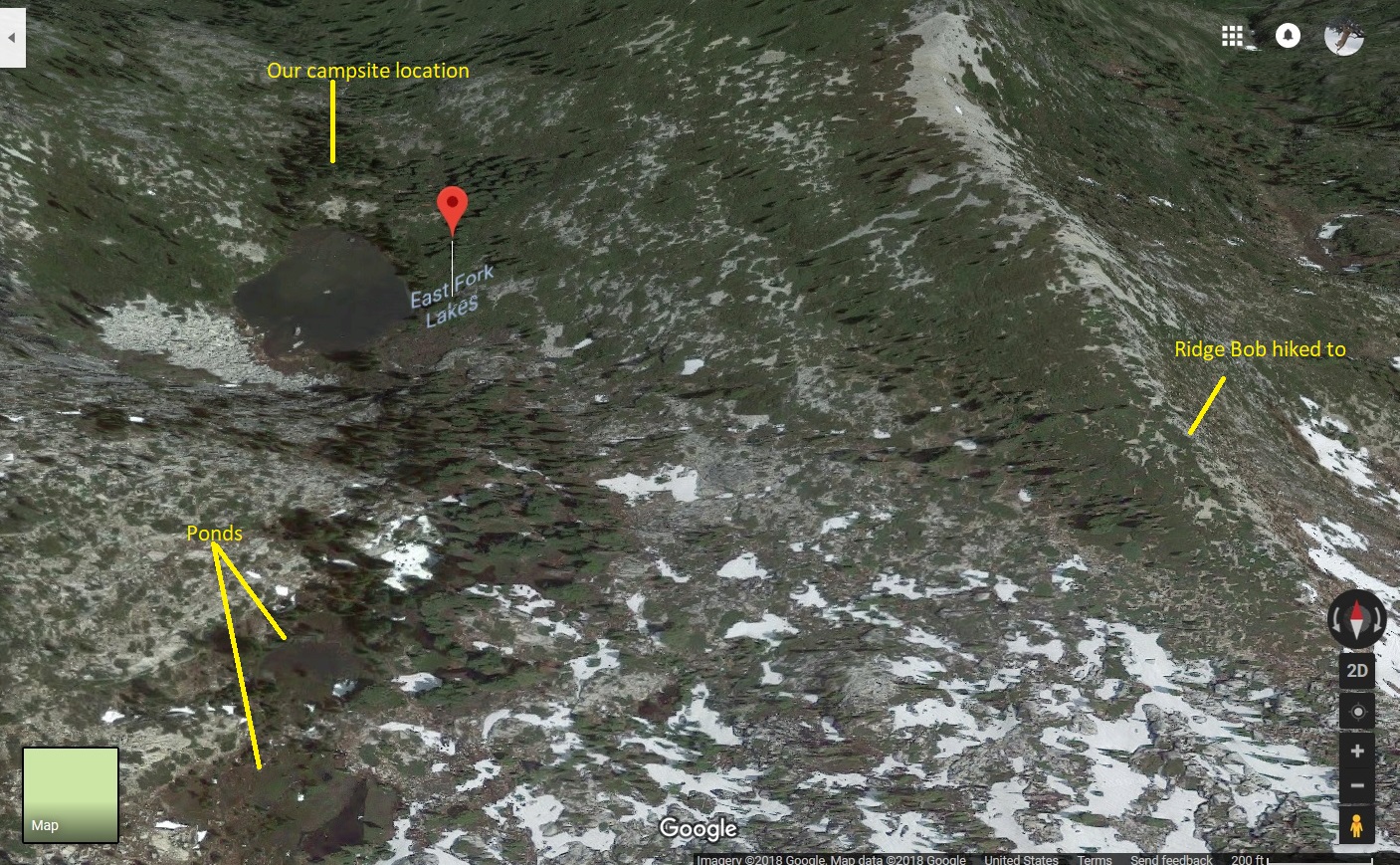
The following image is from Google in 3D labeled with our camp, ponds and the ridge. If you go to this Google page you can zoom in and out.
 |
Coming down, we followed rocks to avoid manzanita almost all the way down to the lake, then walked around the lake.
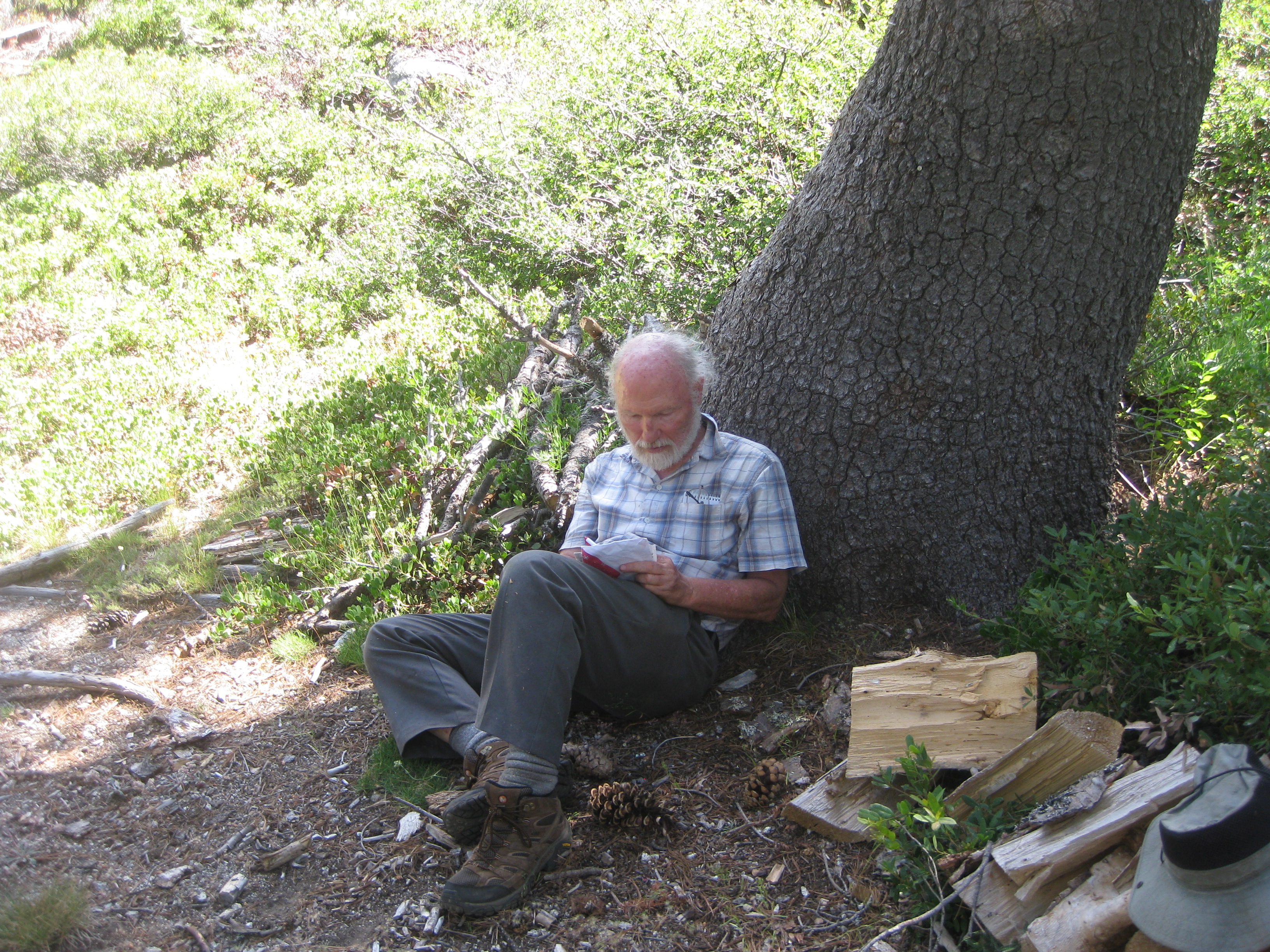
At camp, Reenie washed her hair and Bob helped as usual by dumping water on her head. Bob and Reenie also had a Sudoku competition to see who could do one the most quickly. Here is Bob in deep concentration. Reenie completed hers way ahead of Bob.
 |
Backpacked out of the Trinity Alps and drove home.
Backpack to trailhead from East Fork Lake Elevation Profile (understates distance):
 |
Videos:
Dinner: Subway sandwiches while driving home!
Diary:
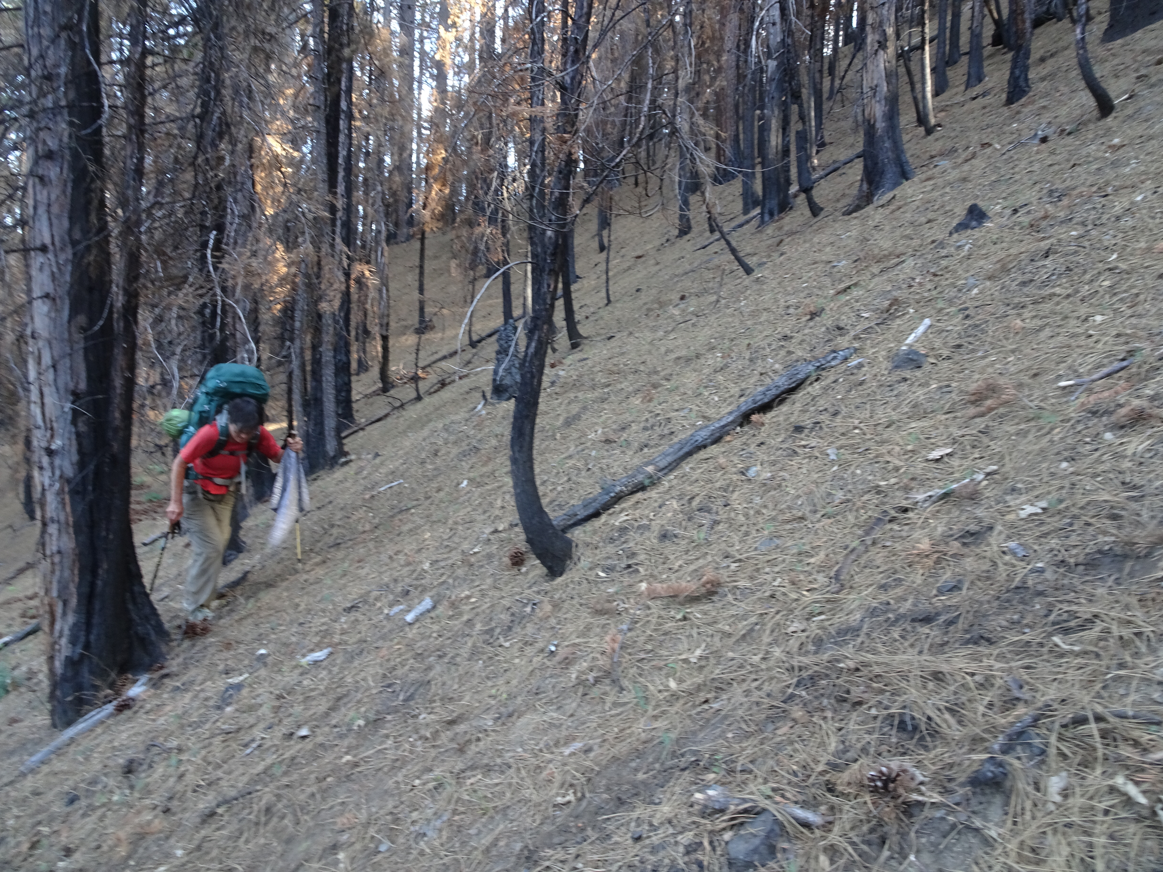
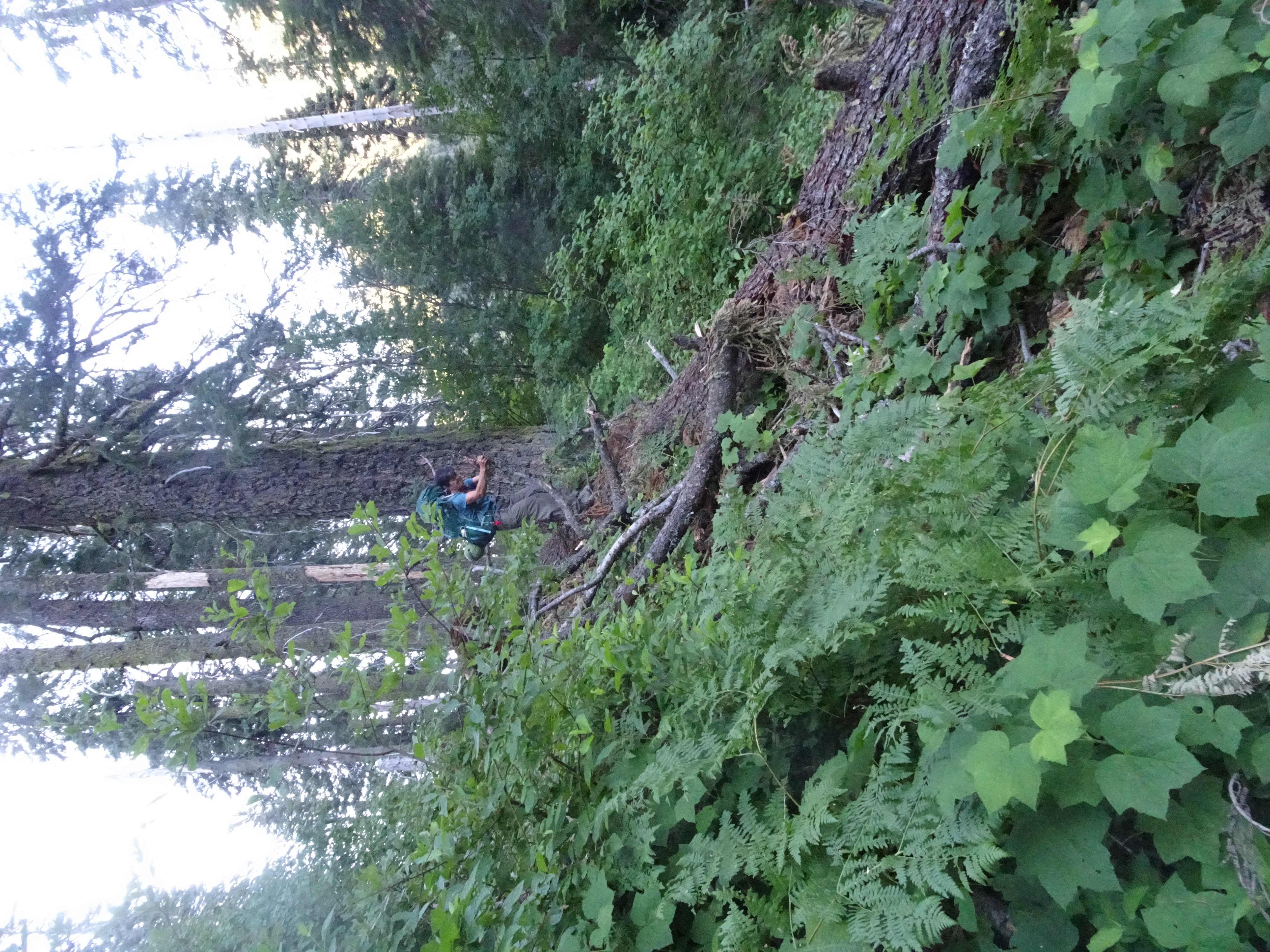
Awoke at 5 am, out by 7:30, hoping to get down to car by around noon. No way. Got lost. Forced to do horrible bushwacking. Used Reenie's GPS to climb back up to trail which was way above us. Had all the usual problems with huge logs obscuring the trail. Here we go down the huge tree we had had to climb up, followed by pictures of the trail as we backpacked down.
 |
 |
 |
 |
 |
 |
 |
 |
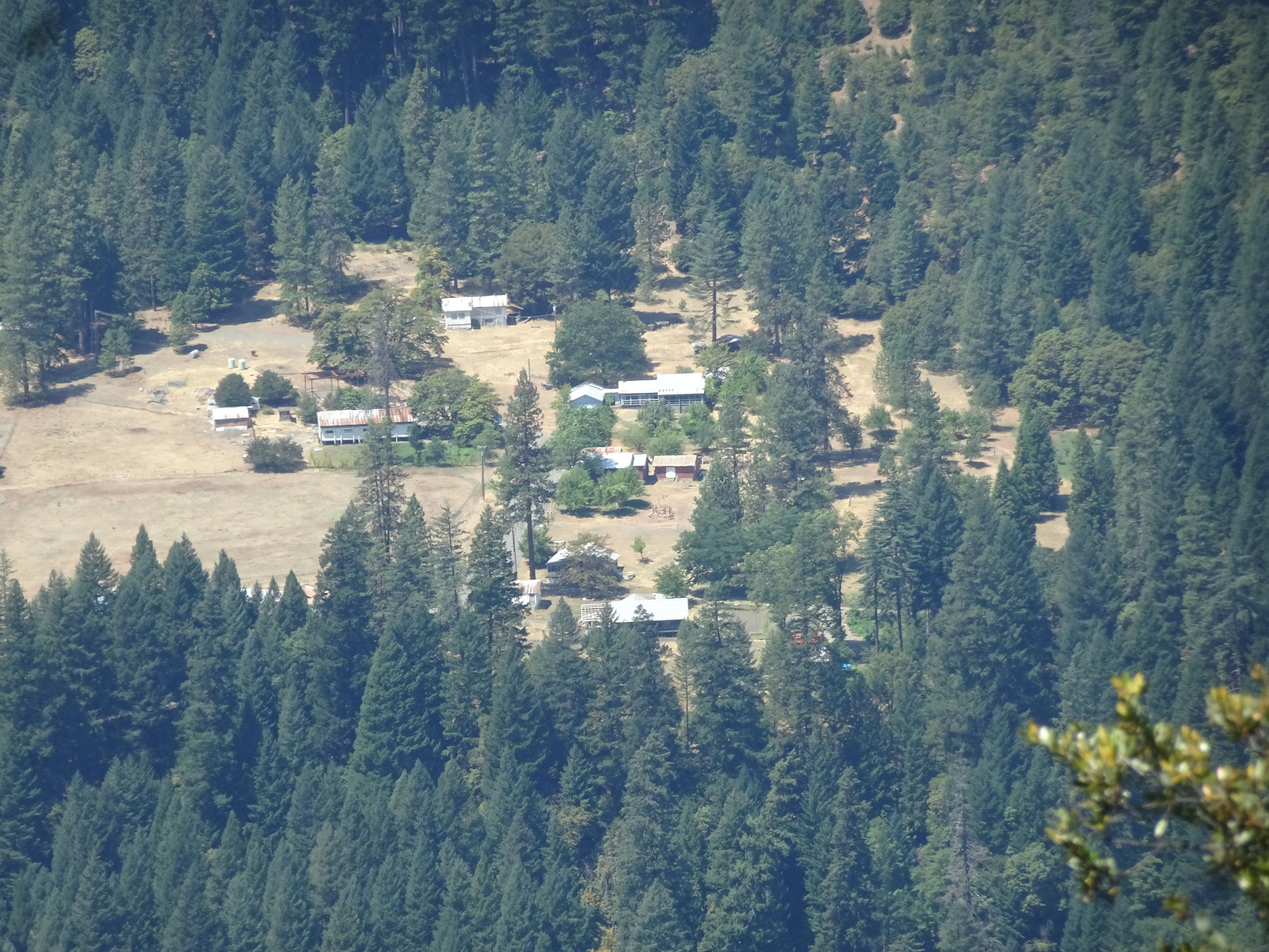
As we approach the trailhead, in the distance we see this set of buildings, but have yet to find out what their function is.
 |
Completely missed a left hand trail turn, went over some logs, came back over them to find trail, once again saved by GPS unit. The end of the trail was exceedingly steep and slippery, but we arrived ok at the trailhead and car ok. It was 2 pm.
 |
We used up most of the water that Shirley had put in the car and all the water we were still carrying with us to wash up and drink ("hydrate"). We ate some lunch items, (including Bob's store bought dried blueberries!), then drove to Weaverville, where we stopped and spent a lot of time in the air-conditioned Subway sandwich shop. It was incredibly hot. In fact, in Redding it was, according to Bill whom Reenie called, 113 degrees and felt like 123 degrees. Air conditioning in Bob's car means opening the windows. The drive through the California Central Valley was less than cool.
The trip took place in two parts - a round-trip up the Canyon Creek Lake trail and a round-trip up the East Fork Lake trail. Each is depicted below with a map and with an elevation profile. In each case the map shows the backpacking trip in a solid red line and day hikes in dashed white lines. The elevation profiles are for the backpacking part of each trip only, not the day hikes.
 |
 |
 |
 |
Photos and narrative were contributed by both of us: Reenie and Bob
Here are all of the backpacking trips Reenie and Bob have taken
Other Websites
By Bob:
Bob Phillips [phillips bob 27 at yahoo dot com - no spaces]
Santa Rosa, CA
August, 2012